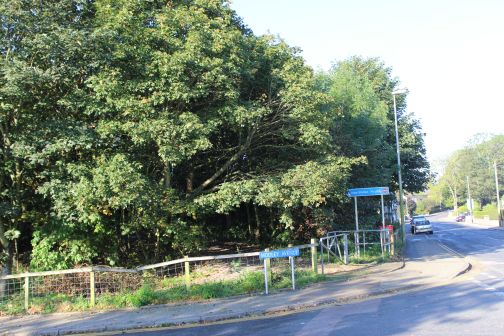
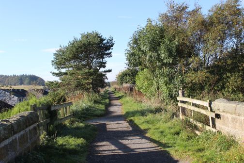
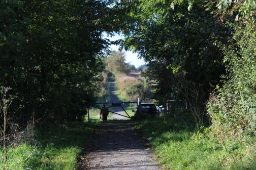
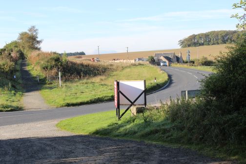
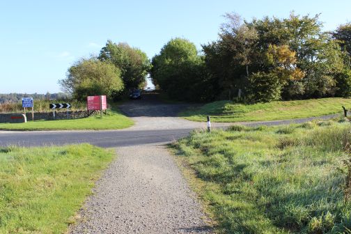
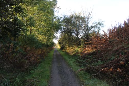
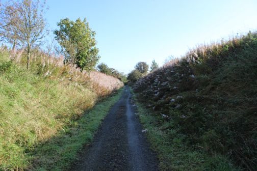
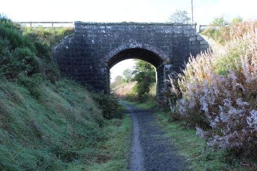
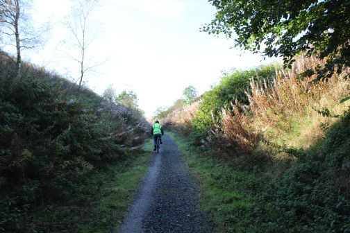
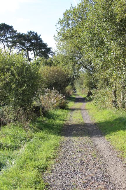
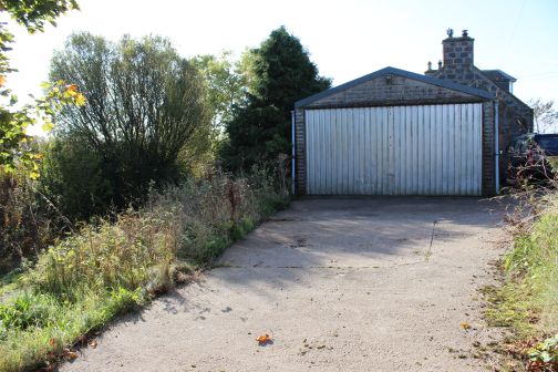
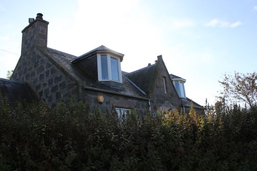
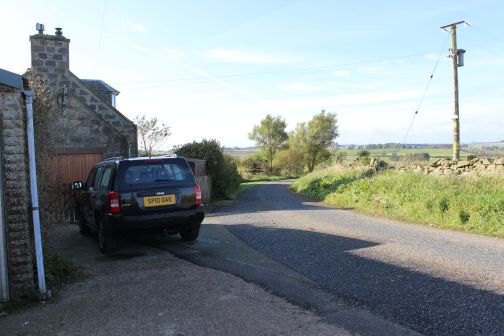
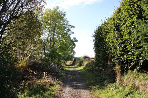
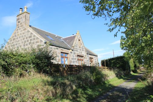
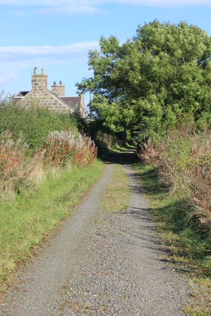
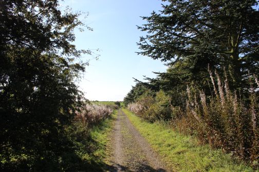
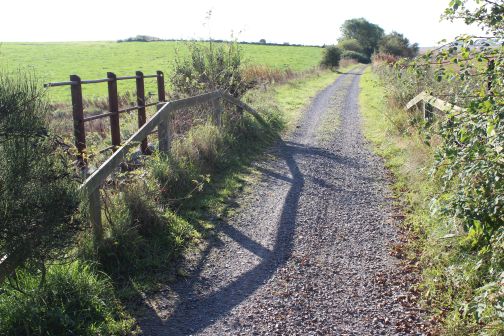
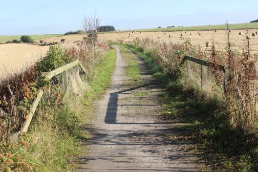
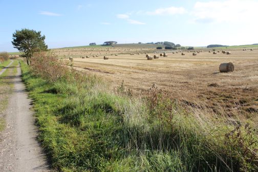
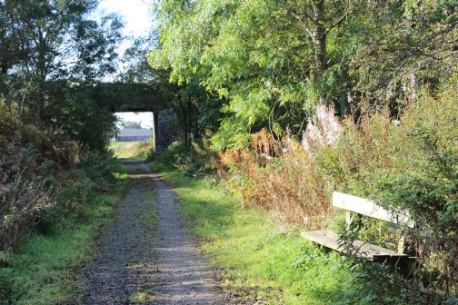
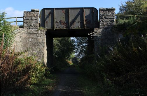
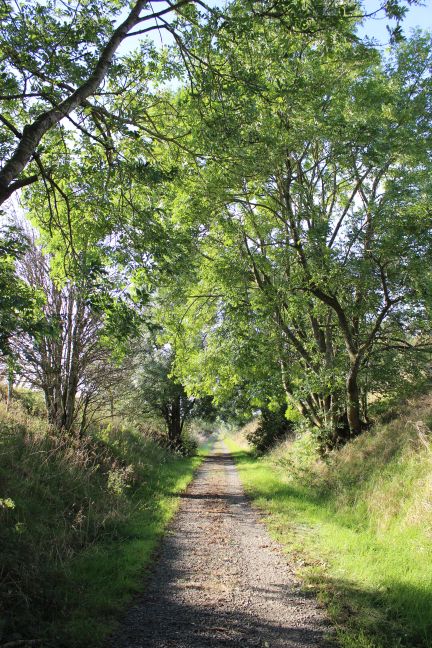
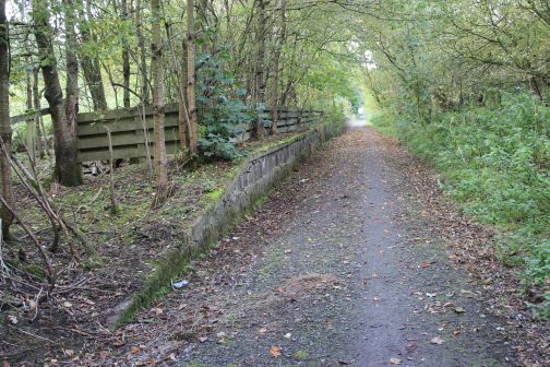
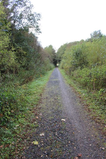
Station Road Ellon where a bridge spanned the road. The station was on the right (north side) of the bridge. My walk started on the south side where a marked sign leads up to the track bed.
It
was 50 years to the month when I last worked over the Dyce to
Fraserburgh and Peterhead lines as a secondman on the disel trains and I
was very interested in finding out
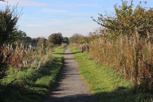
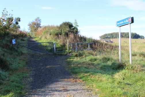
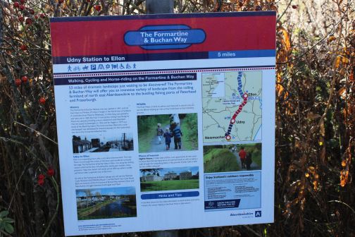
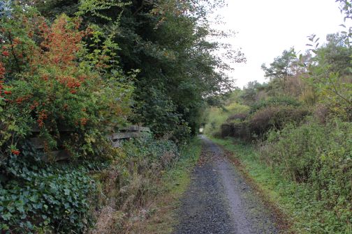
just how much was left to see. Thankfully the whole of the route between
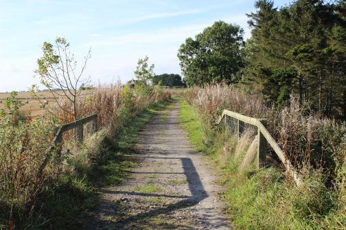
Dyce and Petehead has been has been turned into an official Walk, Cycle
and Horse Riding path
and is easy to walk. While the route northwards from Ellon has
also been conveted there are some sections that have still been
left a bit rough. In this instance I was only
interesed in the 15 miles from Ellon to Dyce. Maud, Strichen and
Frasrburgh will haveto wait until another time.
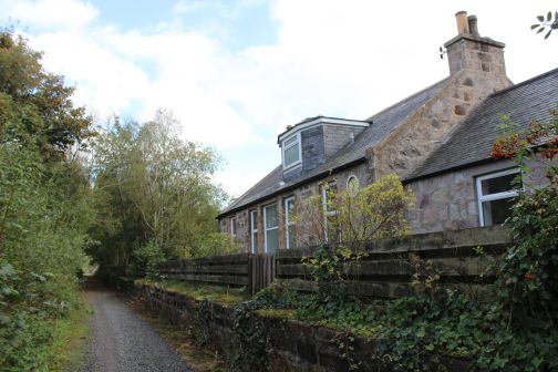
The
Stations enroute are: Ellon, Esslemont, Logiereive, Udney, Newmachar and
Dyce Junction. Platforms and station buildings are all still in
situe and are in use as private
dwellings. Ellon Viaduct is also very much in situe and has nice vews
over south Ellon and the River Don. The other viaduct, over the River
Don at Dyce has been demolished
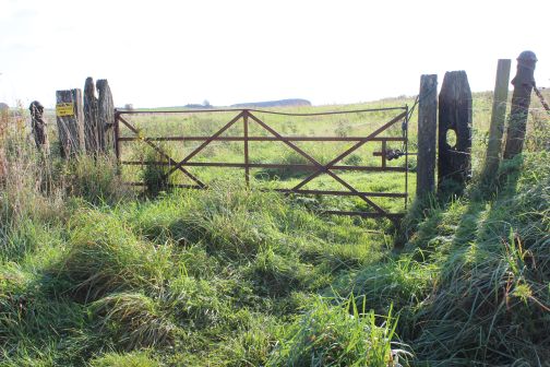
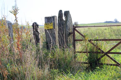
and replaced with a rather timid looking path. A number of Ex level
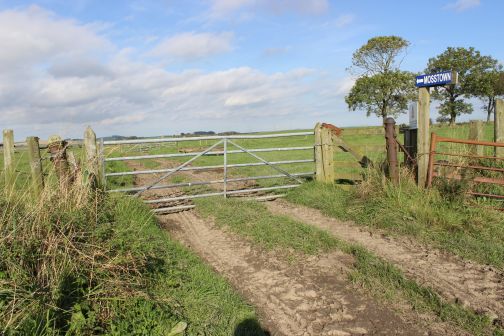
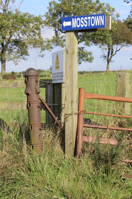
crossings still have their gates and posts. Mosstown in
particular has large round metal posts that are a
little unusual.
The
name Udney Station is still in use as this is also the name of the
village that built up around the station, Therefore you will see road
signposts directing you to Udney
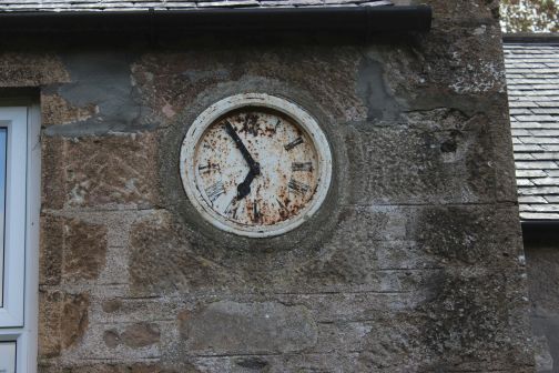
Station, which is still correct in that respect. Logiereive still
has it's clock on the building wall. Not working, of course.
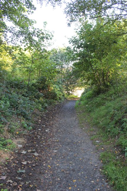
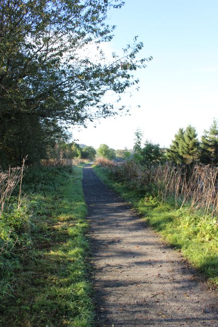
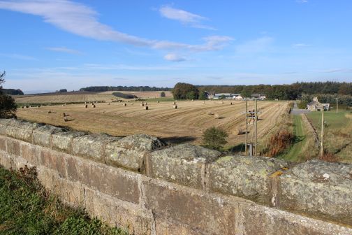
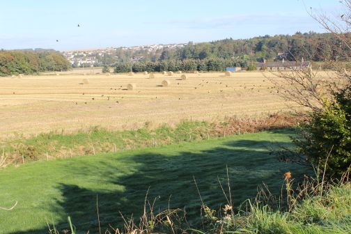
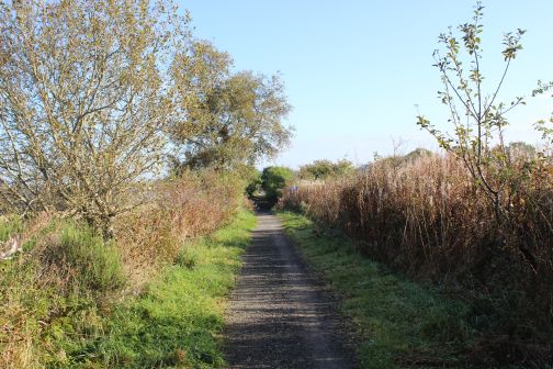
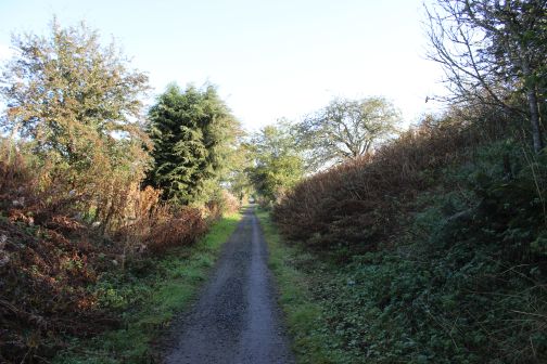
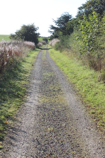
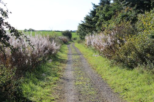
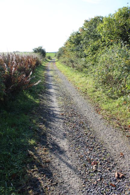
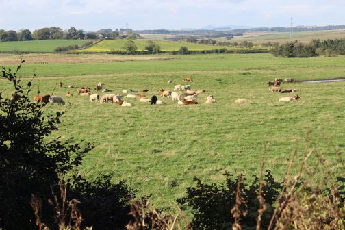
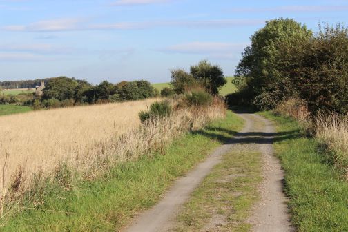
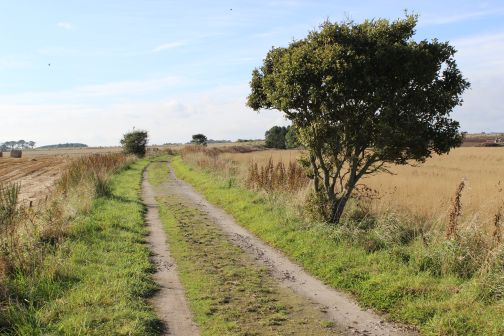
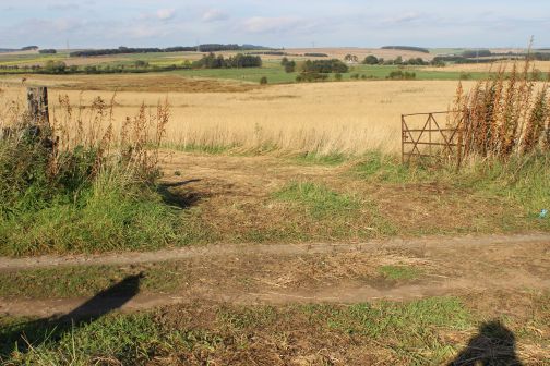
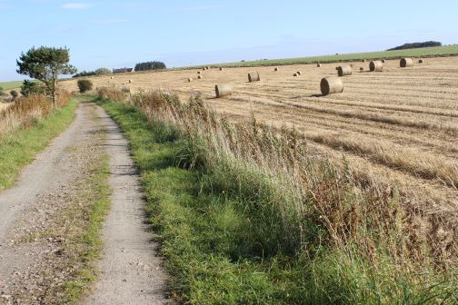
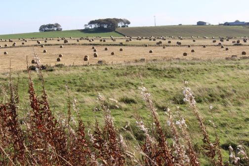
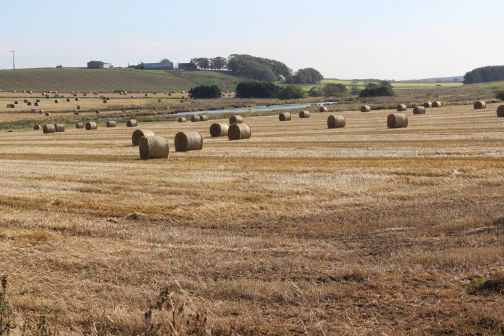
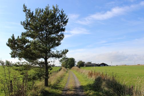
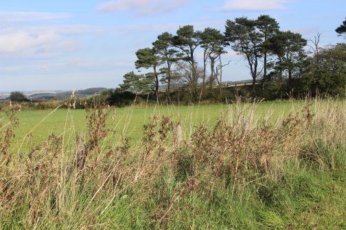
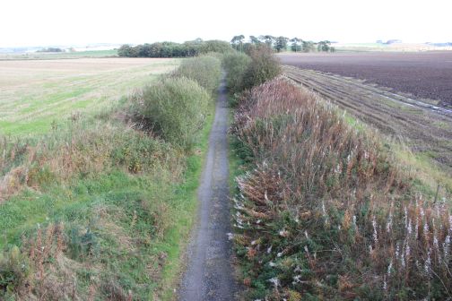
The line runs through mainly farmland and low rolling hills, which has some really fine views. The highest point is Benachie, which is always in the background to the south-west.
ELLON TO LOGIEREIVE
Station
Road Ellon where a bridge spanned the road. The station was on the right
(north side) of the bridge. My walk started on the south side where
a marked sign leads up to the track bed.
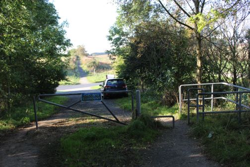
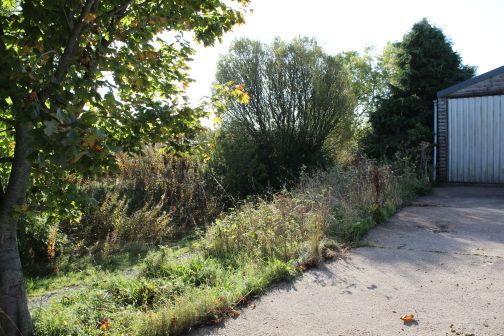
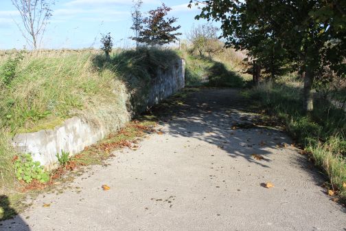
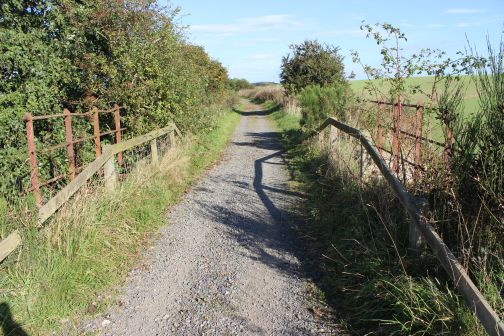
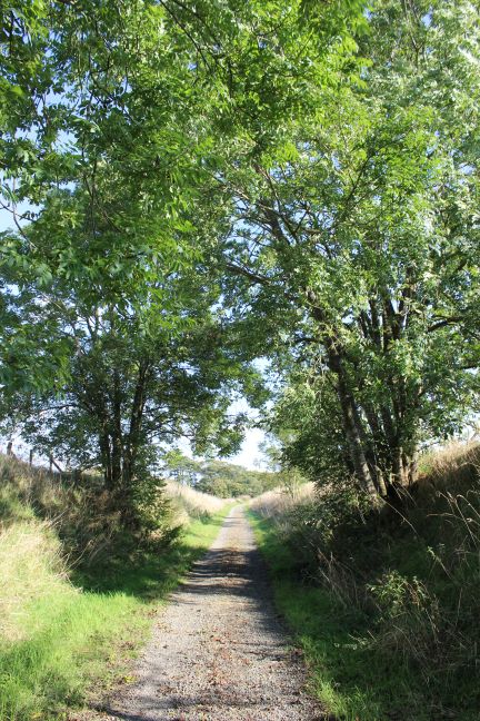
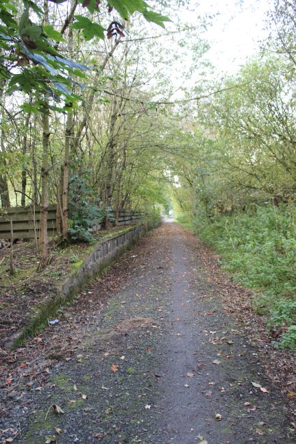
Fom
the missing bridge at South end of Ellon station site. First north
towards Station Road then south towards the viaduct and Dyce.
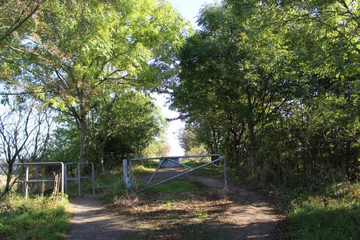
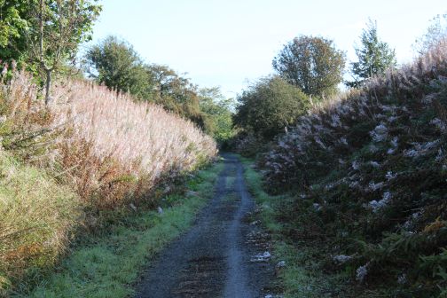
Left:
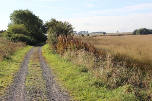
Southwards with the open countryside on the west side of the track
bed.
Right: Northwards with west Ellon left of center.
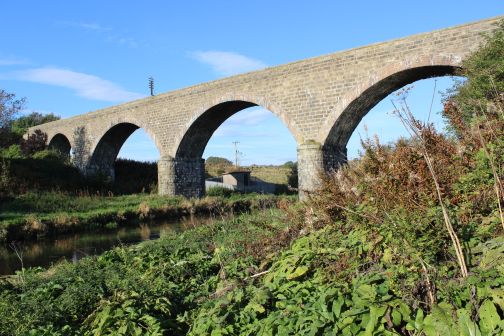
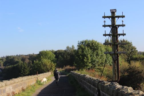
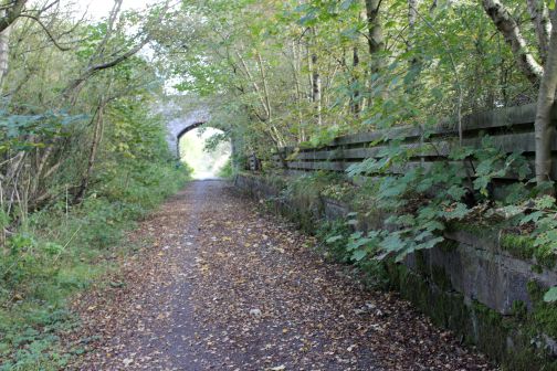
Ellon
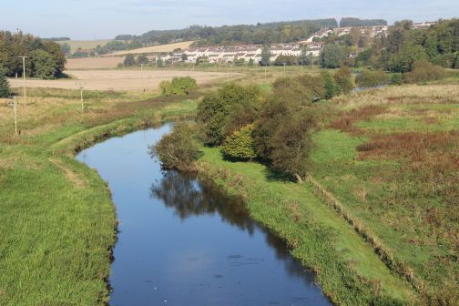
Viaduct (East side) looking westwards over the River Ythan.
Left:
The path that leads too and from the track
bed.
Right: View westwards from the north end of the viaduct.
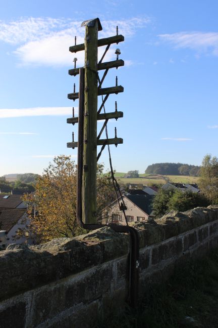
Left:
Remains of a mile post. Ellon station was 13 and a
quarter miles from Dyce so this would have been the 13 mile
post.
Right: Telegraph pole with multi line fittings.
Left:
Towards
Dyce.
Right:
View westwards over the viaduct and the River Ythan, towards West Ellon.
(Pronounced "Eye-Than").
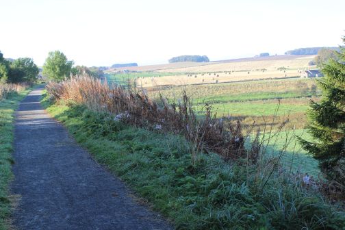
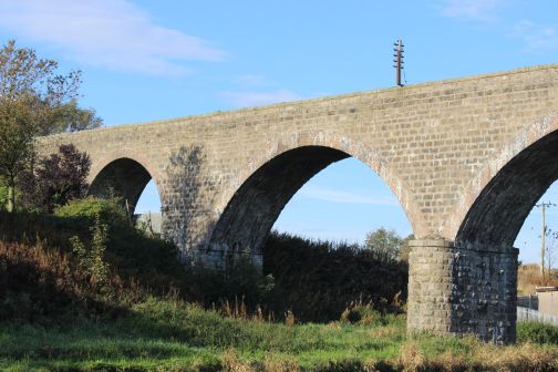
Left:
Atmospheric Spring morning misty view, eastwards from the viaduct with
the river Ythan wandering it's way to the coast at Newburgh.
Right:
Looking along the viaduct towards Ellon.
Left:
Northwards towards
Ellon.
Right: View westwards over the viaduct
and south of the river.
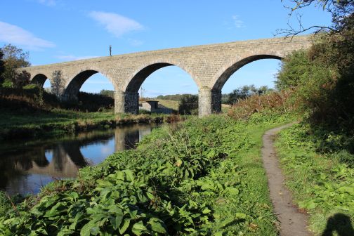
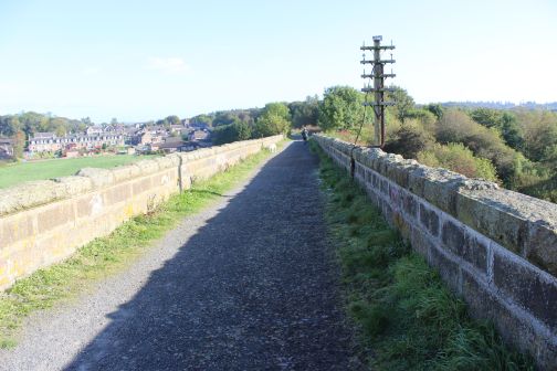
Left:
Wide angle view along the whole length of the viaduct, towards
Ellon.
Right: Reverse view trowards Esslemont.
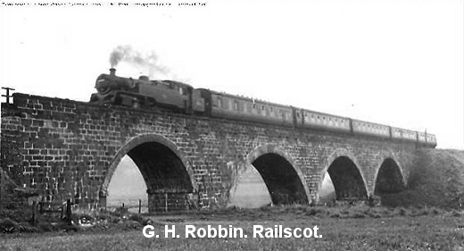
Left:
Steam passenger train on the viaduct. (GNSRS
Photo).
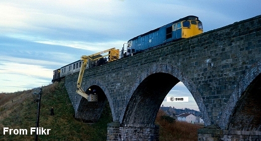
Right: Viaduct Inspection in the 70's. From Flickr.
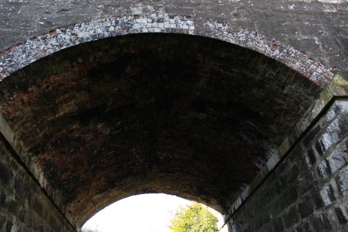
The
viaduct had only three arches when built but due to ground displacement
at the south end a fourth arch was built.
South end
of the viaduct lookng oth towards Dyce.
Right: View from the south end of the viaduct towards Dyce.
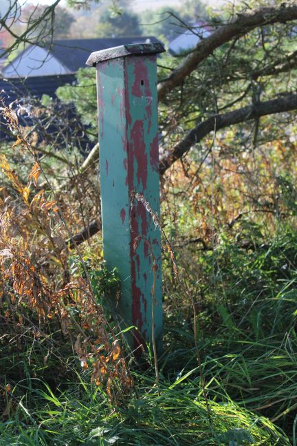
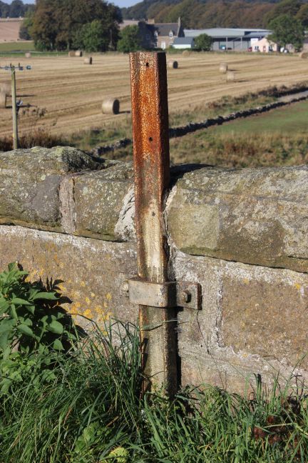
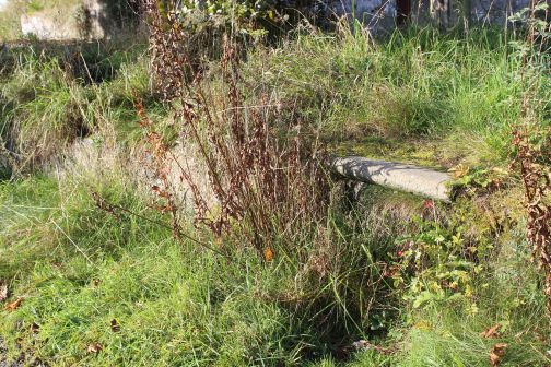
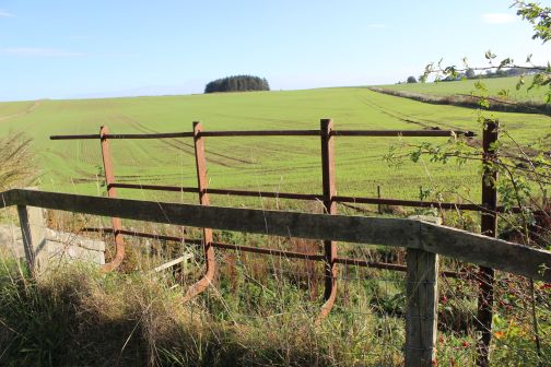
Unusual
metal post. Not sure what this was use for.
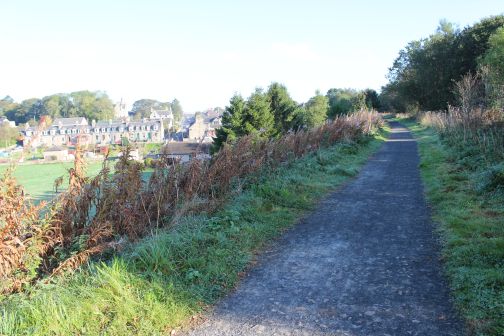
Views
south and westwards approaching South Ellon.
Left:
New housing estate at the south end of the
viaduct.
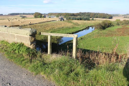
Right: Demolished over bridge site at Ellon South.
Demolished
over bridge at South Ellon. River Drive Road.
Left:
Towards
Dyce.
Right: Towards Ellon.
Demolished
over bridge at South Ellon. Riverside Road. Towards Ellon.
Looking
across Riverside Road with the track bed continuing south towards
Esslemont.
Looking
northwards across Riverside Road towards Ellon.
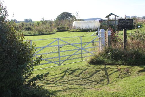
Route
Guide at Riverside Road.
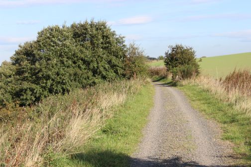
Farm
on the west side of the track
bed.
Right: Looking back towards Ellon.

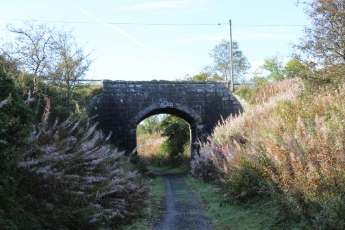
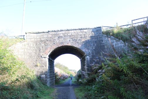
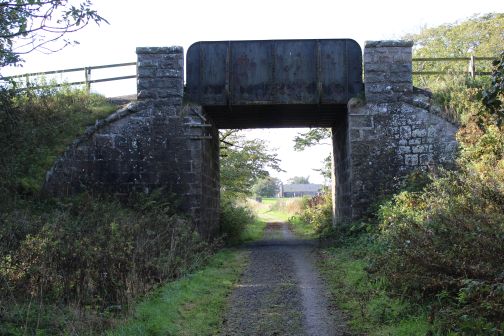
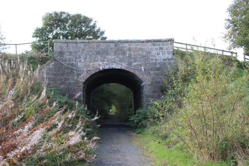
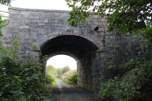
Approaching
the road bridge over the A920 (Southwards).
This
bridge is on the A920 approx. half a mile east of Esslemont village.
Looking southwards.
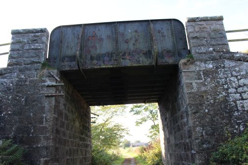
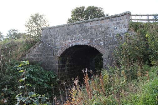
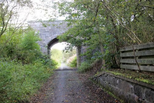
Bridge
identification number.
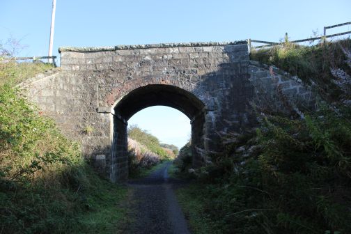
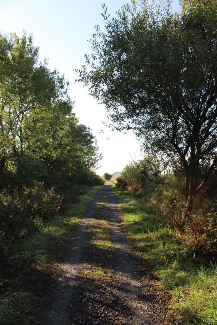
Left:
Cycling towards
Esslemont.
Right: North side of the bridge. Southwards toward Ellon.

Left:
North side of the bridge, towards
Ellon. 6236 Right:
From the south side of the bridge, towards Dyce.
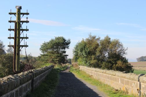
Left:
Towards Dyce. Approaching Esslemont station
site.
Right: Same spot. Back towards Ellon.
Left:
Towards Dyce. Approaching Esslemont station
site.
Right: Same spot. Back towards Ellon.
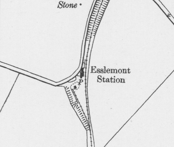
Esslemont
Station. I had one trip as a secondsman where we had to shunt this yard.
The points were operated by the
guard using a key attached to the single line token. (NSLMaps). 11 and a half miles from
Dyce.
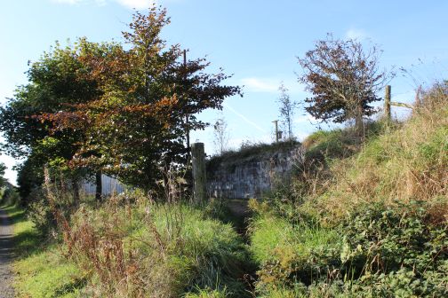
North
end of the Down platform looking south.
Ditto
Esslemont station site. Towards Dyce.
North
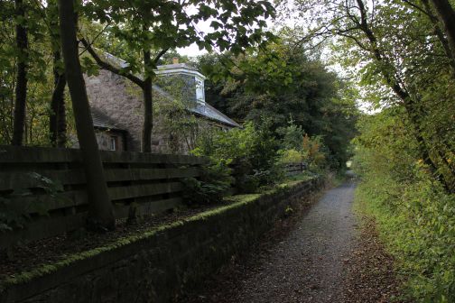
end of the platform. Remains of a metal station sign post..
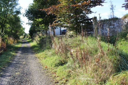
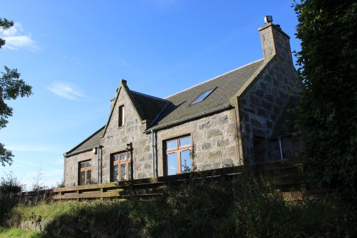
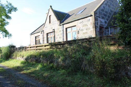
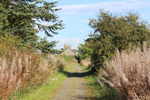
An Ex Station Building on the
Down platform, used as a garage.
The
Down Platform and station building. A Garage has been added. (11
and a half Miles from Dyce). This is a private dwelling house.
Left:
Front of the station
building.
Right: Entrance to the Goods Yard.
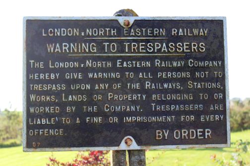
Left:
,LNER Notice Board. From the Grouping of 1928 and not changed to BR
after
1948.
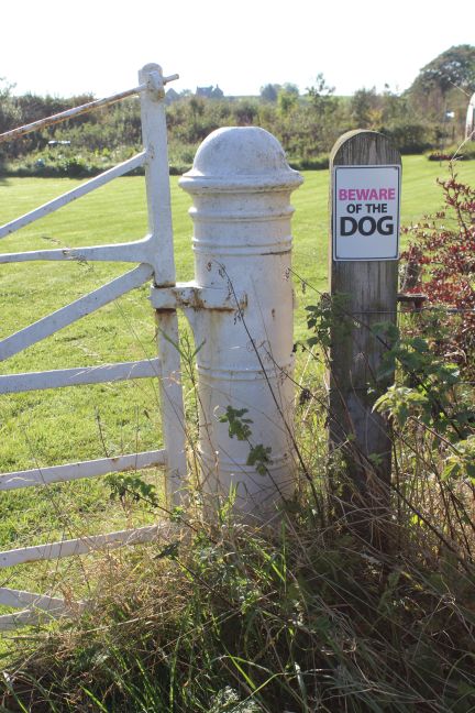
Right: Interesting
heavy metal built gate post.
Station
entrance from road.
Left: Between the two
platforms looking southwards towards
Ellon.
Right: Remains ofthe Up platform.
Station
side of the platform building and house.
Left:
View looking
northwards.
Right: View looking southwards.
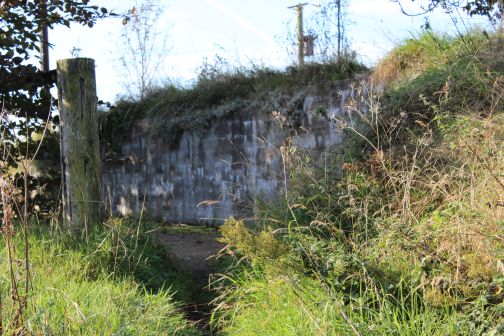
The
space for the original signalling rods and angle joints is till in place
below the Down Down platform.
Left:
View from around the same spot as the old photo to the right. The
points into the goods siding would have been here, turning left into the
siding. Right:
Esslemont station in
the 60's. You can see the rod & angle cut-out at the north end
of the platform. The Goods yard is on the left. On the right is the
remains of the Up platform, which also had a bay
platform edge to the right. The 'today' photo shows how over grown
this spot is today. Perhaps the platform is still there! GNSR
Photo.
Left:
View from around the same spot as the old photo to the right. The
points into the goods siding would have been here, turning left into the
siding. Right:
Esslemont station in the 60's. You can see the rod & angle
cut-out at the north end of the platform. The Goods yard is on the
left. On the right is the remains of the Up platform, which also
had a bay platform edge to the right. The 'today' photo shows how
over grown
this spot is today. Perhaps the platform is still there! GNSR
Photo.
Looking
south from the southern end of the station.
Looking
south from the southern end of the station.
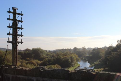
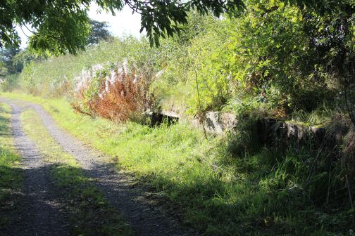
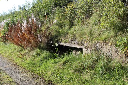
View
westwards. Just to the south of Esslemont.
A
burn runs below the track bed in a culvert. First
eastwards then westwards.
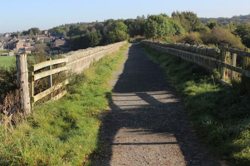
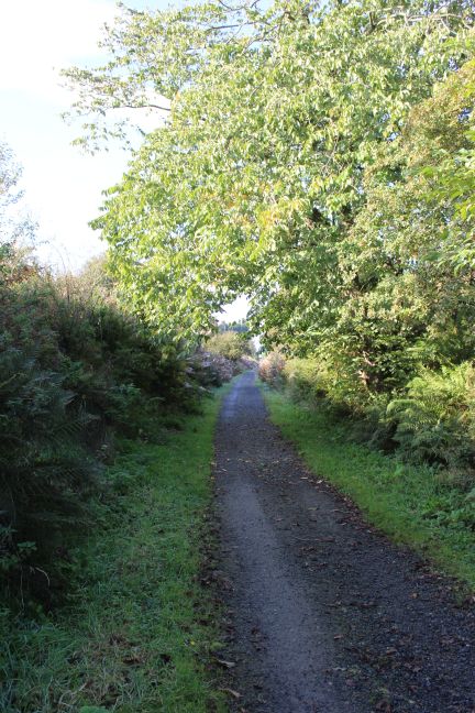
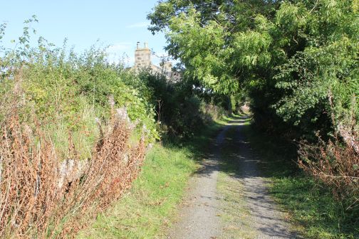
Left:
Southwards towards
Logierieve.
Right: Back towards Ellon.
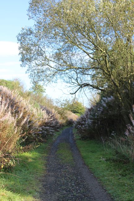
Towards
Logierieve.
Left:
Ex Farm level
crossing.
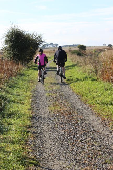
Right: Cyclists head south towards Logierieve.
Left:
Back towards
Ellon.
Right: Southwards towards Logierieve.
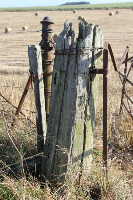
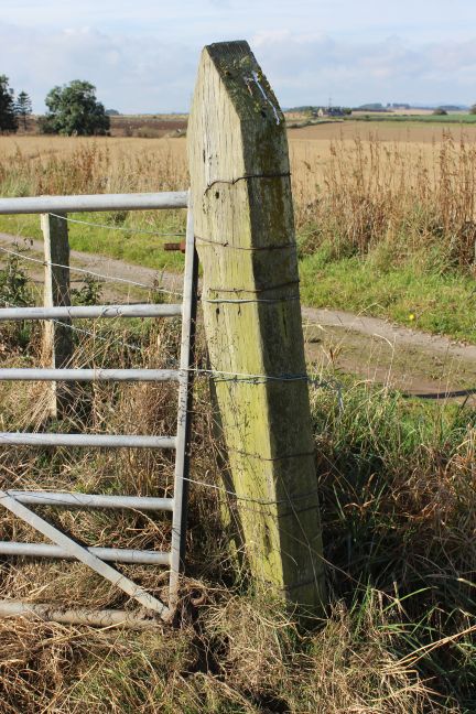
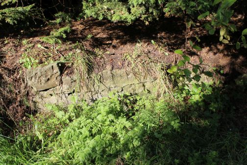
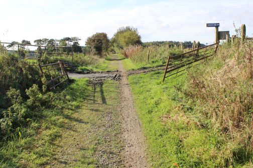
Farm
crossing remains. Apprx. half a mile south of
Esslemont.
Up & Down side gate posts respectfully.
West
and east side views from the track bed. Right: Towards Ellon.
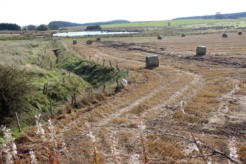
Another
burn below the track bed. Up & Down directions respectfully.
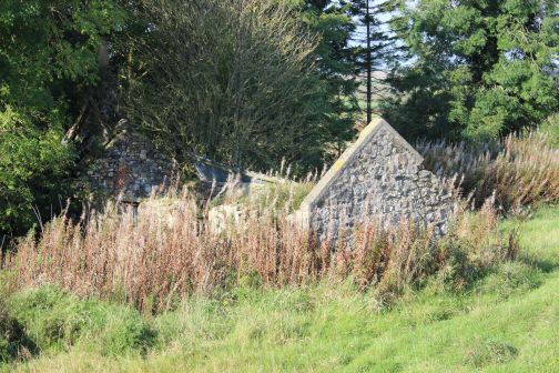
Left:
An old farm building on the down side of the track
bed.
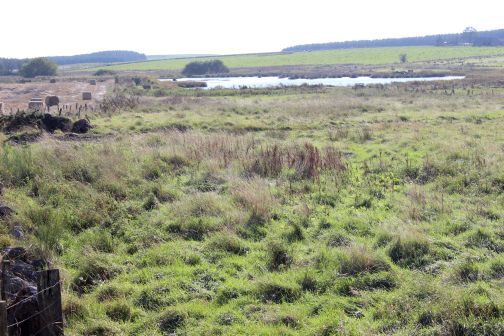
Right: The lake formed by the Burn. East side.
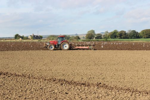
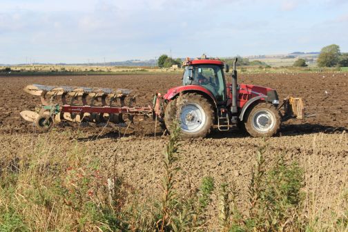
Farm work continues. A
tractor ploughing on the Down side of the track bed.
Right:
The burn runs eastwards and forms the lake up ahead.
Towards
Logierieve. Farm vehicles obviously use this path a lot.
Back
towards Ellon and to the east side of the track bed.
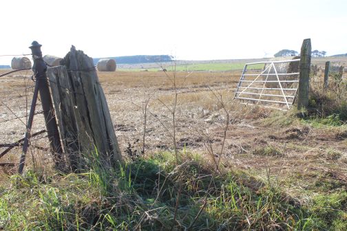
Remains
of a farm crossing. (Up
side).
Right: Close Up.
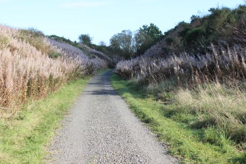
The
road above runs between farms through open country linking the A920 and
the B9000.
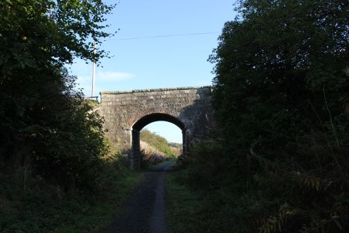
Left:
Unusal round edged bridge
sides.
Right: Remains of telegraph insulators. North side.
Left:
Road over bridge to the north of Logiereive. The north side remains of
the telegraph
insulators.
Right: View back towards Ellon.
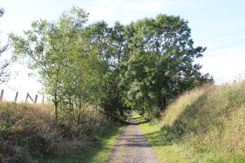
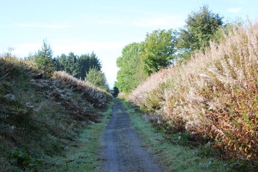
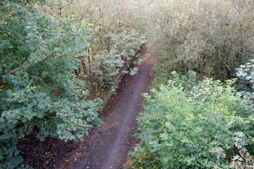
Colourful
wooded area to the north of Logiereive. Up & Down views
respectfully.
A
farm crossing just north of Logierieve station site.
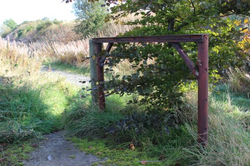
Wire
tensioning post and original gate.
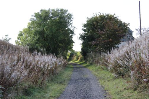
Left:
Track bed towards
Esslemont.
Right: Towards Udny.
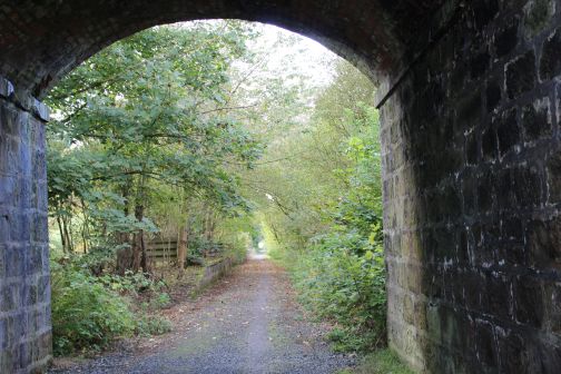
The
B9000 over bridge at the north end of Logierieve station.
Looking southwards.
View
northwards from the road bridge.
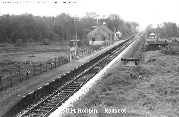
Left:
Logiereive looking south from the over bridge. The platform edge
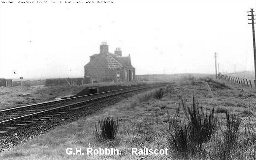
can just be seen in the trees. Right: Logiereive station, looking south
from the same spot in the 50's. The signalbox is at the north end
of
the station and you see the stop block at the north end of the Goods
siding. Freight had to be shunted back into the Goods siding at the
south end. GNSRS Photo.
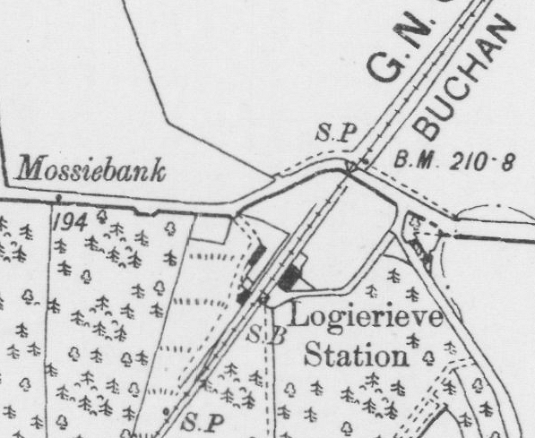
Logierieve
Station (NSL Map).
Logierieve
Station Site. Looking southwards from below the road
bridge. Right:
Up platform. The Goods Siding was on the right.
The
station had only one platform with a Goods siding, on the right, was
worked only
from the north direction
facing points, with a stop block at the north end.
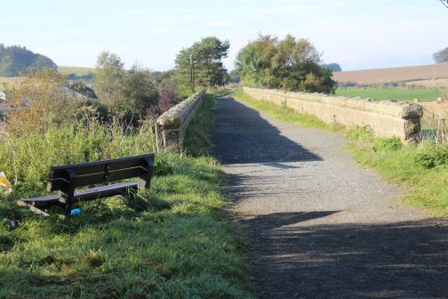
South
side of the road bridge. Looking northwards.
Left.
Towards
Ellon.
Right: Towards Dyce.
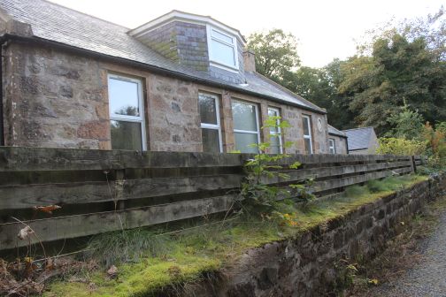
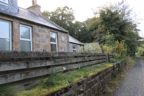
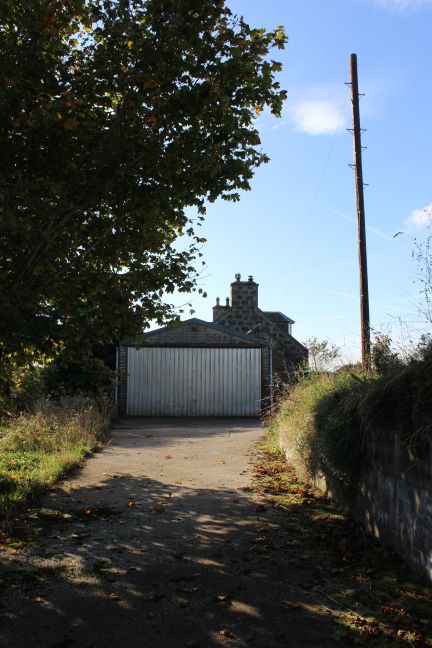
The station house
is a private dwelling.
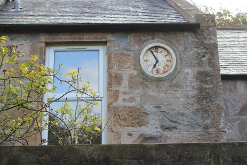
The
clock almost looks as if it could still be working.
Left:
South end of the station platform where the signal box stood, with the
Goods siding to the
right.
Right: The station building and Up Platform. Looking towards Ellon.
Left:
Towards
Udny.
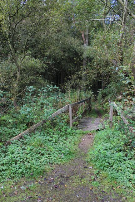
Right: A wooden bridge across a Burn. On the Down side.
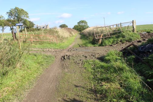
Logierieve Goods Siding entrance (Goggle Earth).
================================================================
Back To Index Back to Home Page
This
page brought to you by:
VintageHammond.Com - We Buy-Sell-Trade Vintage Hammond
Organs and Roll or Kari Organ/Vending Machine Moving Dollies Order Roll or Kari Dollies Here