Back To Index
ELLON TO DYCE RLWY WALKS
(30th Sept 2014)
NEWMACHAR TO DYCE STATION
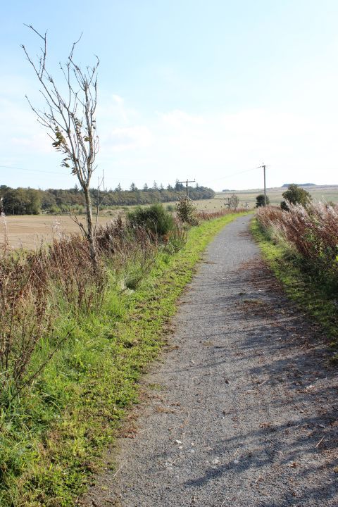
Leaving Newmachar station site and heading southwards to my destination for this particular day's walk. The station was a good bit away from the village centre,
which was on the Aberdeen - Turrif and McDuff and Banff road. The distance to Dyce station was five and a half miles.
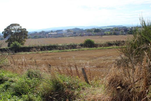
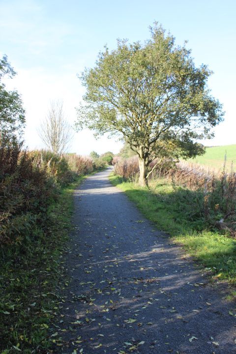
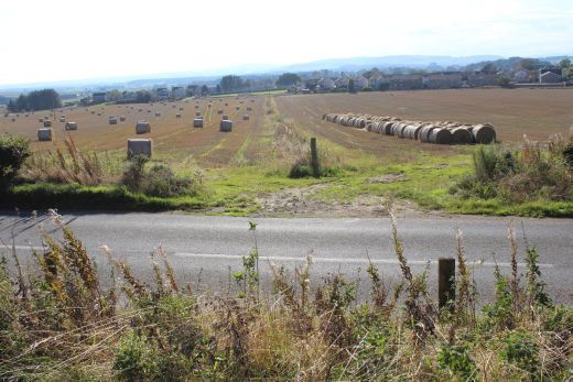
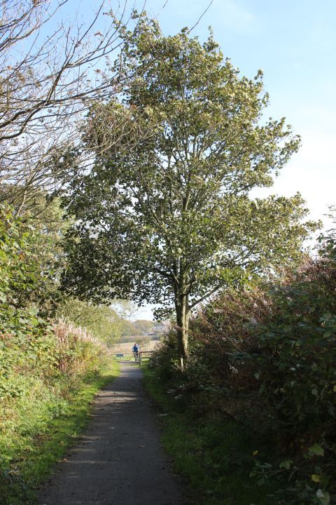
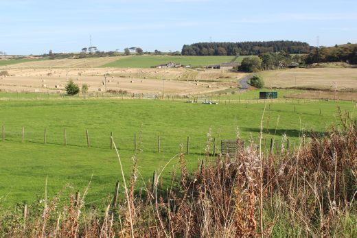
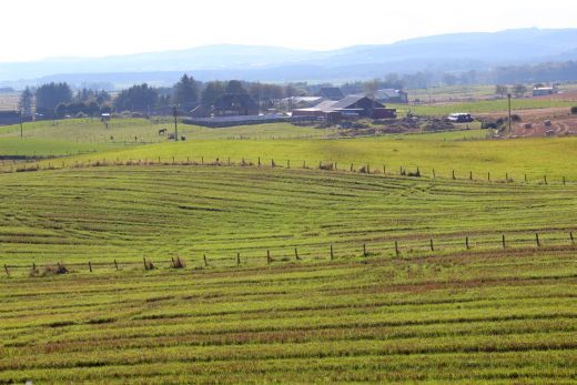
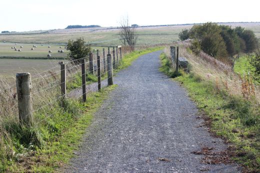
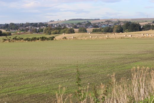
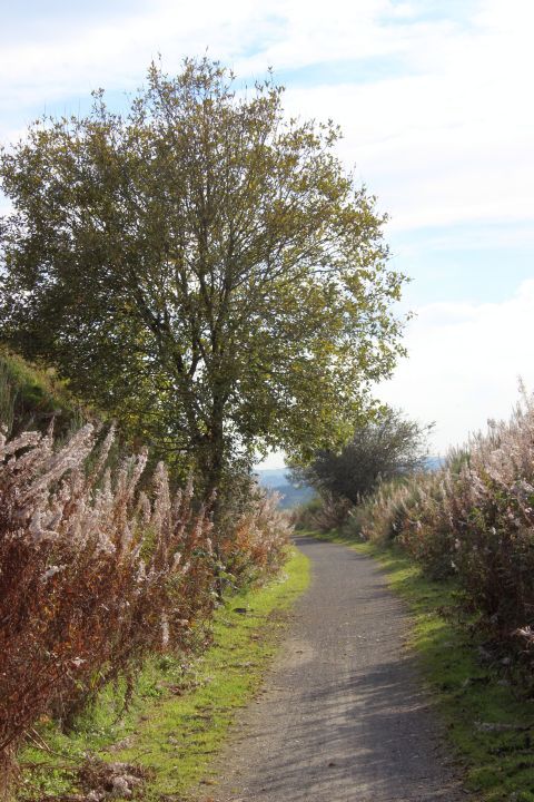
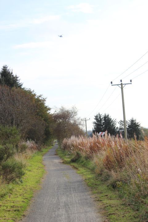
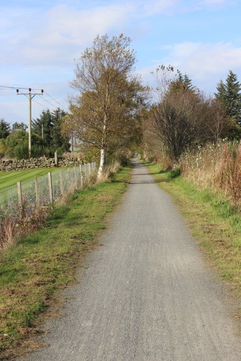
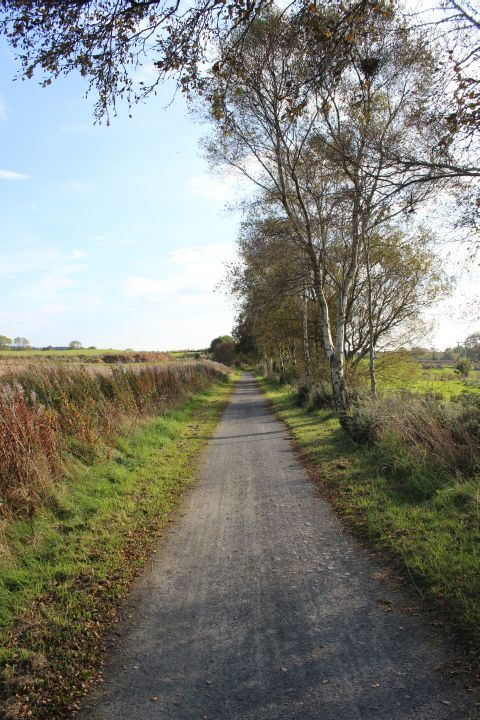
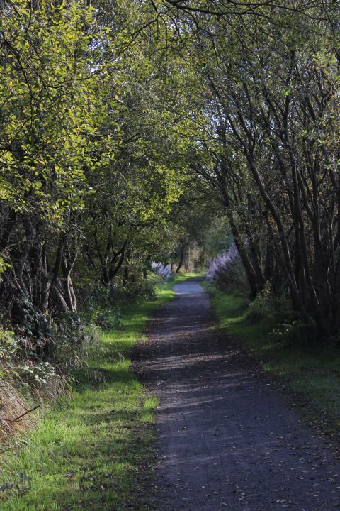
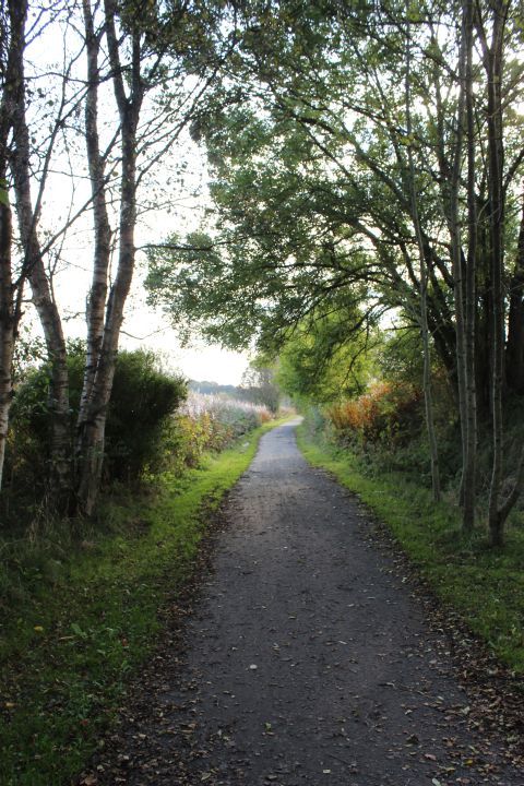
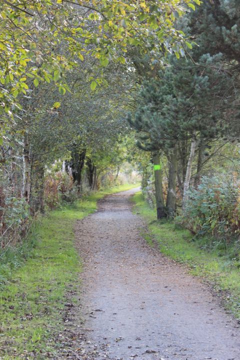
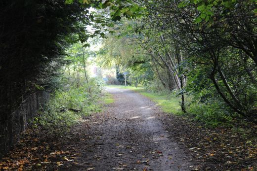
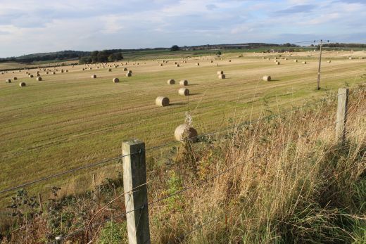
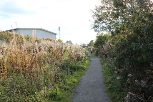
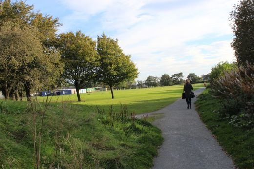
Looking north westwards from the track bed just south of the station site and heading for Dyce. Newmachar is seen in the background.. In the righthand photo Benachie is seen in the background. As the highest point
in the County it is seen from long way around.
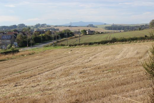
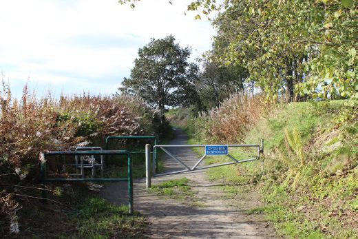
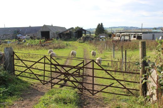
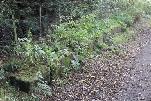
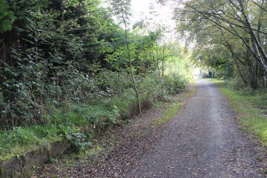
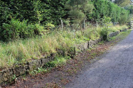
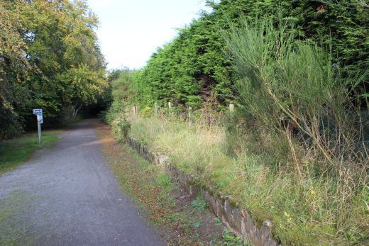
The southern outskirts of Newmachar.
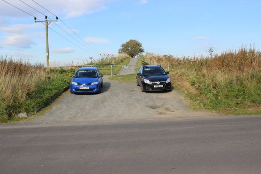
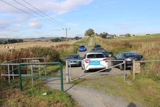
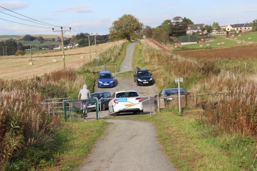
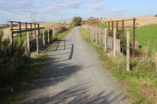
Ex Farm level crossing at Hillbrae Way, Newmachar.
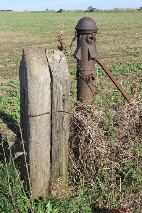
Left: Direction sign by Hillbrae Farm crossing. Right: Remaining farm crossing gate post. Up side.
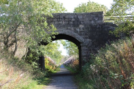
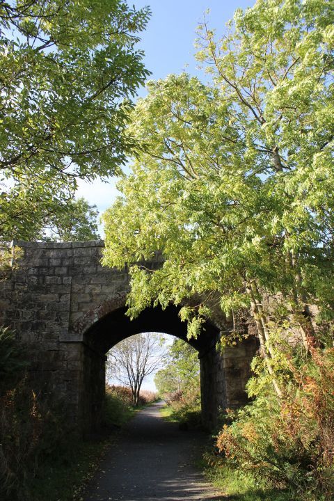
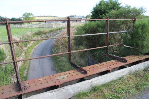
Left: Farm crossing, looking northwards. Right: The B947 bridge. North side, looking southwards.
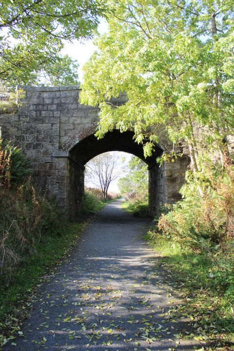
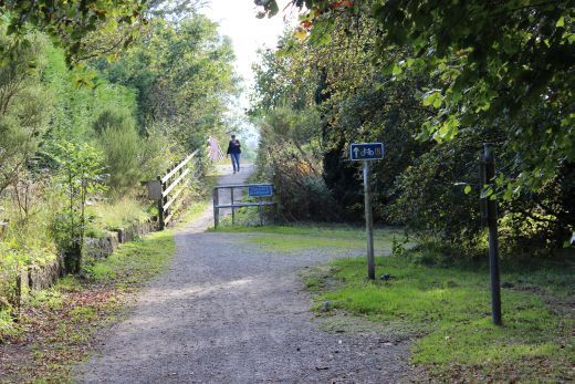
Over bridge at Hillbrae Way. The B947 above. Left: Towards Dyce. Right: Towards Newmachar.
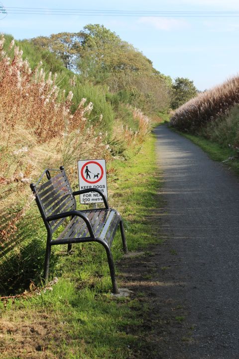
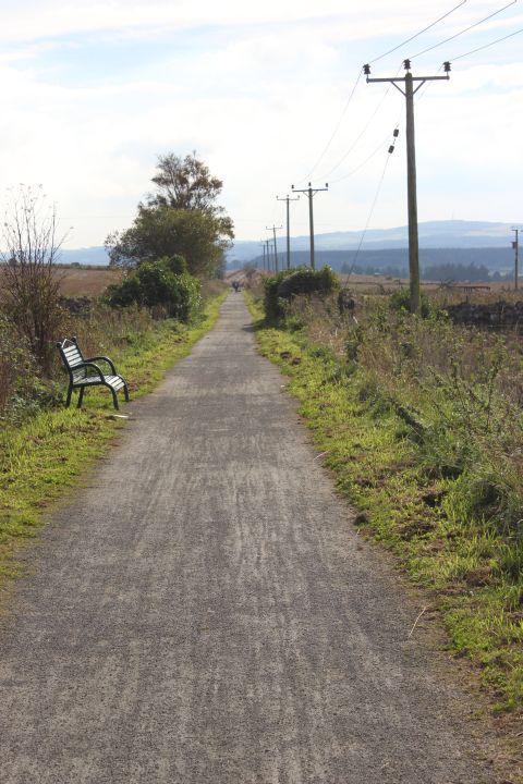
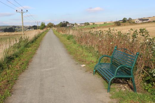
Left: The seat appeared quite welcoming after a long spell of walking but time was marching on and I kept on going.
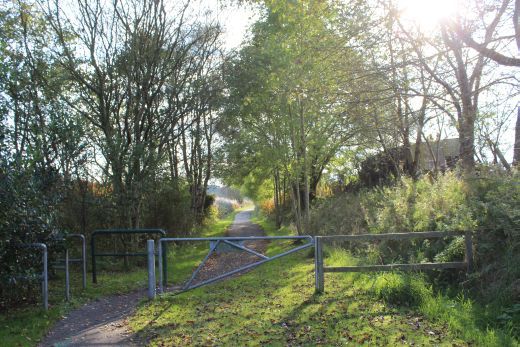
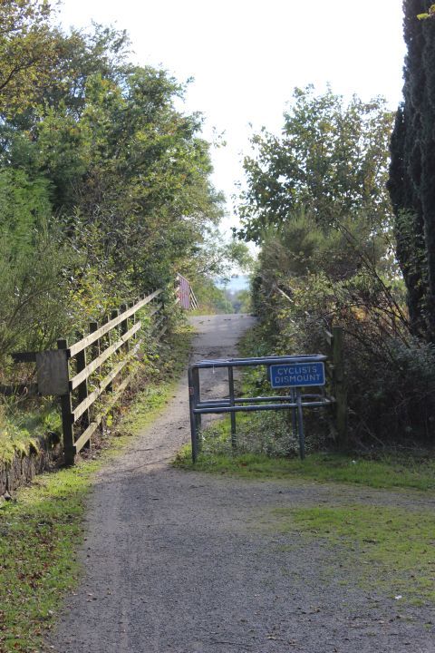
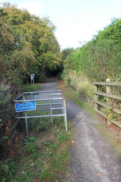
Right: A little further on and another barrier on the track bed.
Left: Barrier to stop cyclist/motorcyclists or even car drivers getting onto the high embankment.
Ex Farm Crossing. North of the Newmachar Embankment, heading southwards.
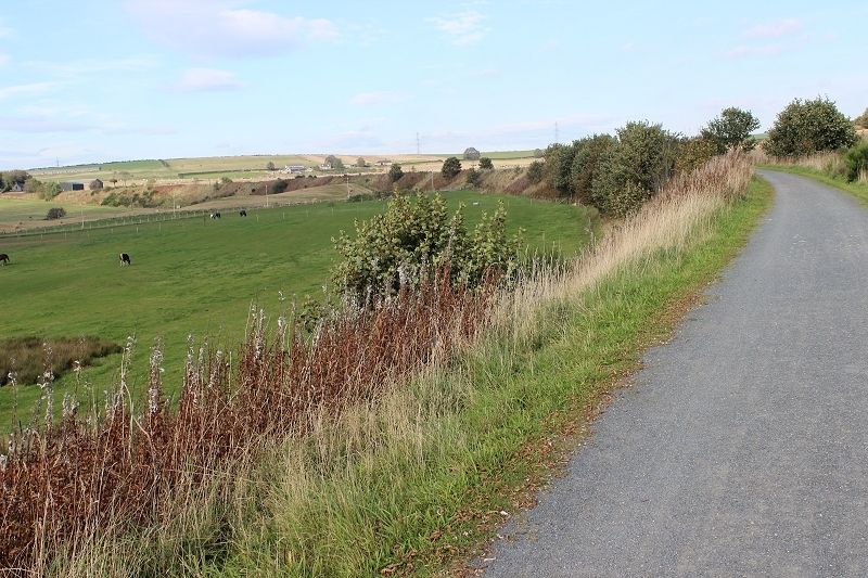
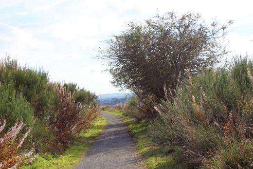
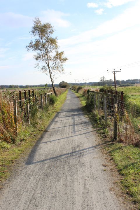
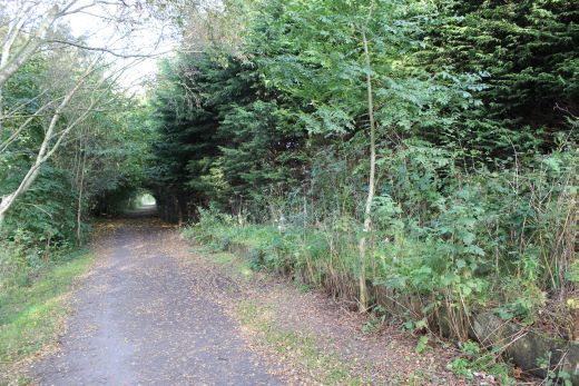
Left: The start of the long, high embankment that runs as far as Kingseat, near Parkhill.
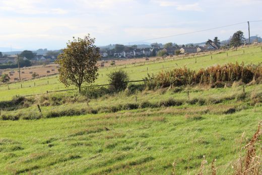
Looking back towards Newmachar.
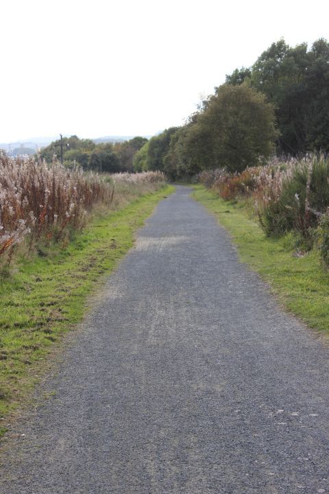
The Newmachar Embankment.. A high, long curving embankment. Towards Parkhill.
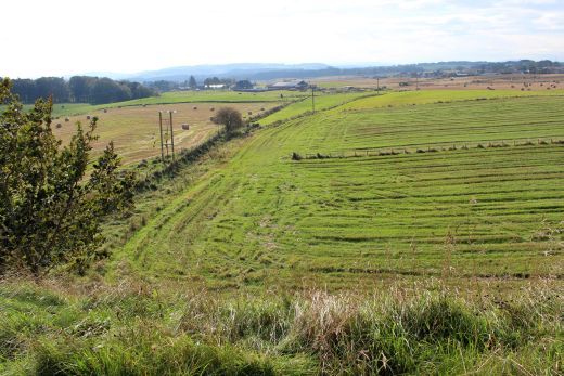
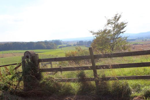
Views westwards from the embankment.
A 18mm wide angle view from the embankment, looking westward.
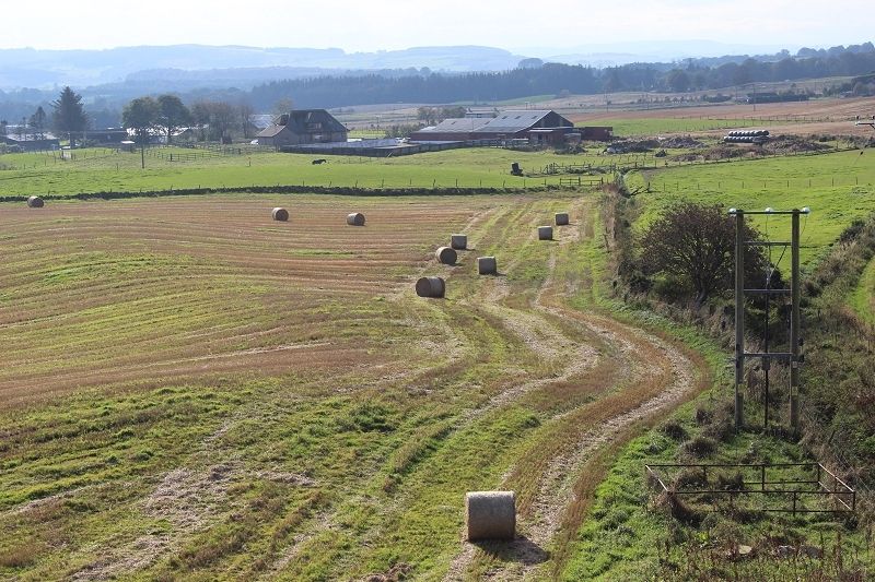
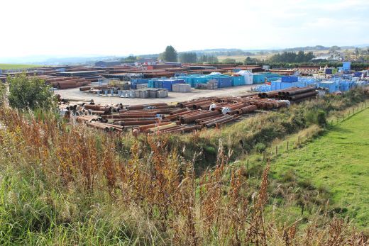
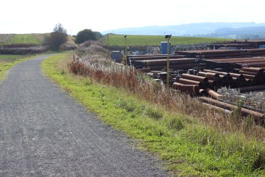
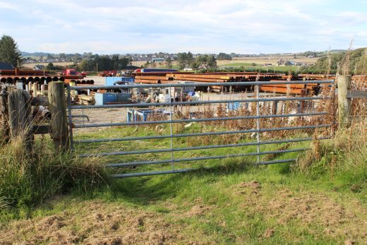
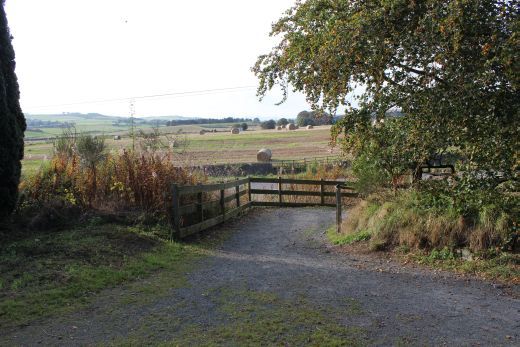
Left: Looking southwards towards th Pipe storage plant. Right: Looking south, a path leads in, rising from the western edge of Kingseat Village.
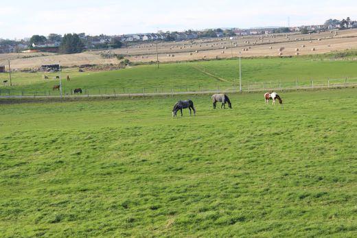
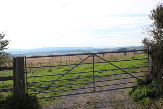
Left: The bridge over the country road from Kingseat to the B979. Right: Horses in field from the road bridge.

Horses in field with watering trough. West side of track bed.
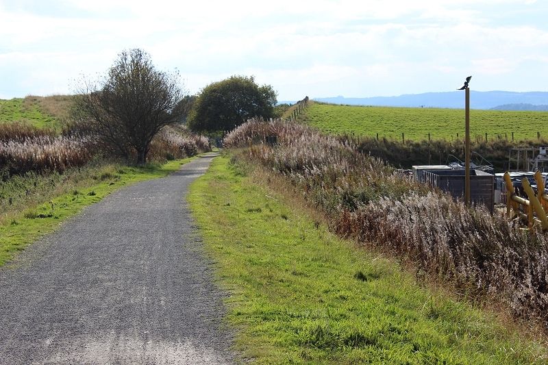
Heading south with the bend on the embankment that runs alongside the pipe plant.
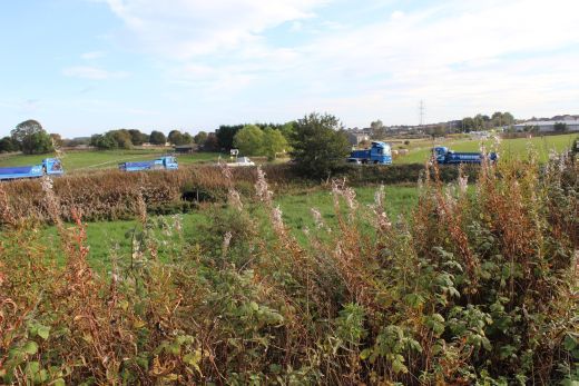
Left: Modern houses at Kingseat. East side of track bed. Right: Pipe storage site at Kingseat.
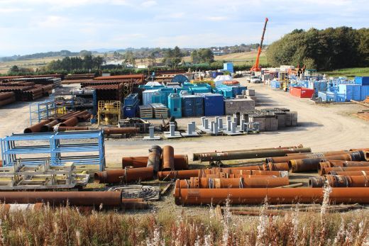
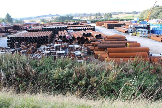
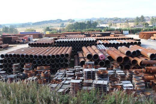
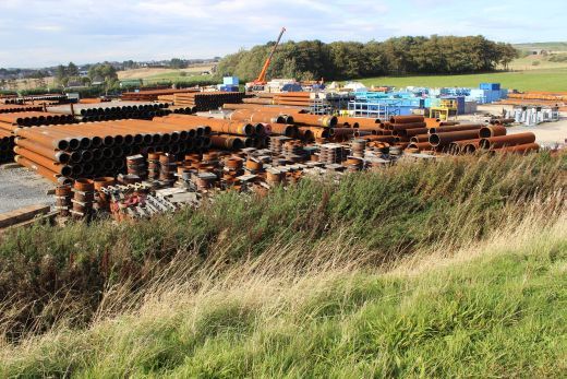
It was hoped that the Oil & Gas business would save the railway but it didn't do anything.
Looking north along the high embankment from the southern end towards Newmachar.
Reaching the southern end of the high embankment and into a short cutting towards Parkhill. There is a gate leading into the Pipe Storage point up on the left and
I wondered if this site, in the past, may have had a railway connection!
Heading south into the short cutting.
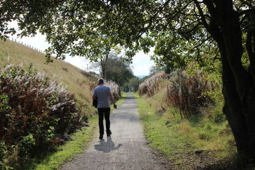
Left: The gate into the Pipe starage point. Right: I enjoyed a short chat with the chap walking his Dog. He was an Austrian, working in the oil business but was due to return home very soon. He was very interested
in the old railway.
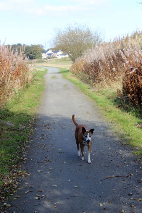
His old Dog just walked at it's own pace and eventually caught up with his Master once again.
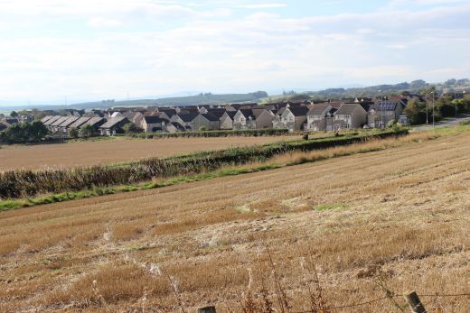
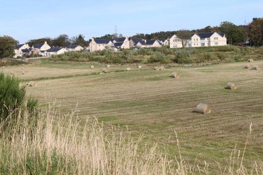
The houses in the background are in Kingseat.
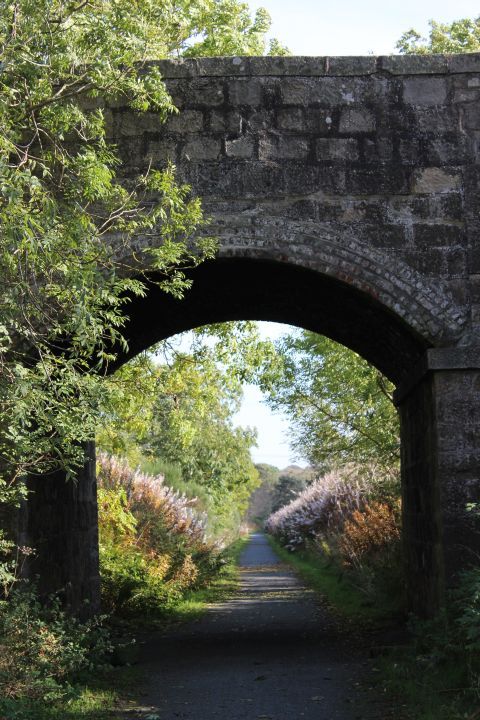
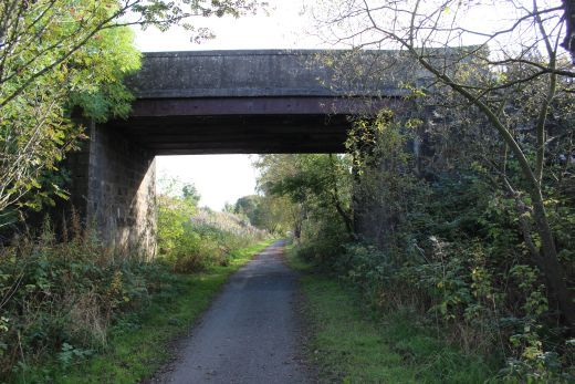
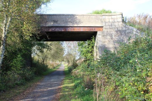
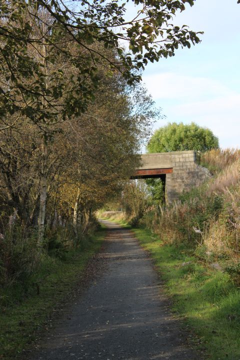
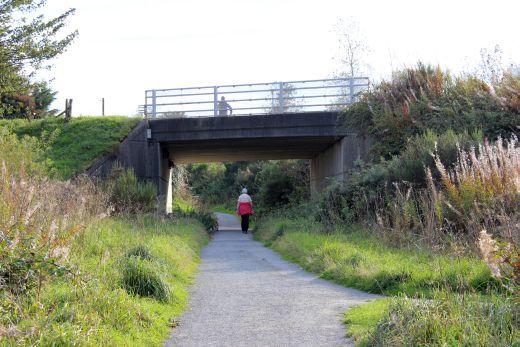
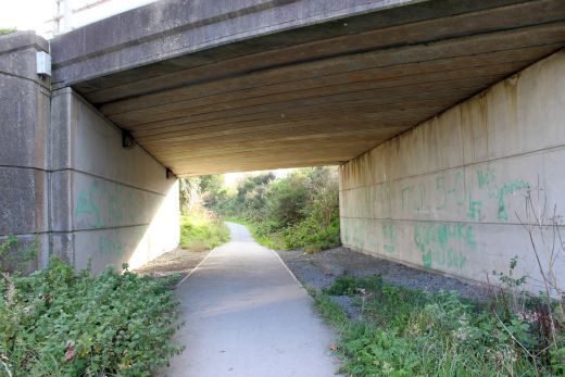
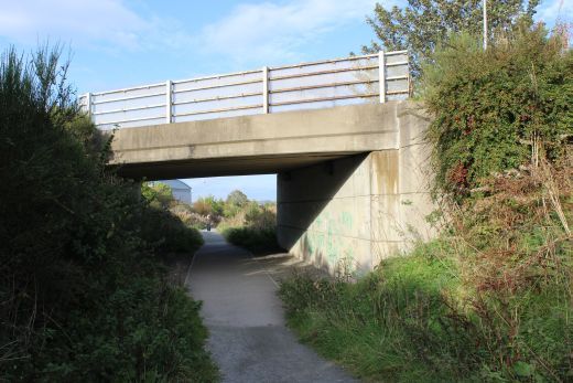
The road bridge carries the B997. Left The north face of the bridge, looking southwards. Right: The south face, looking northwards.
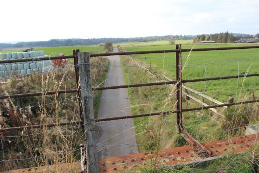
The gap of the demolished bridge that crossed the B979. One mile south of Newmachar.
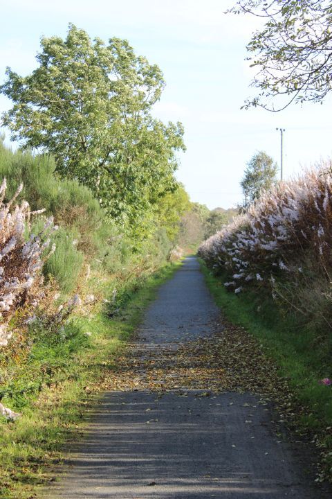
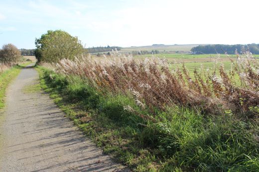
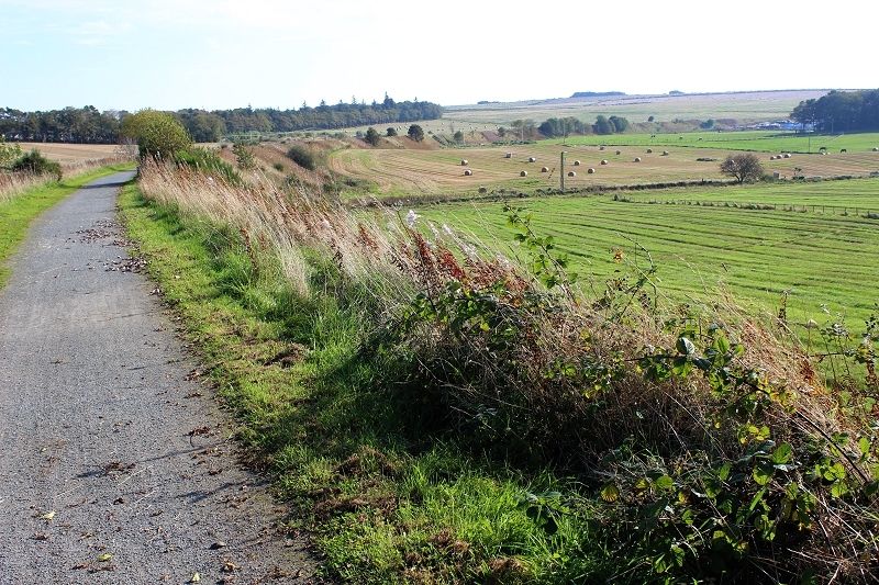
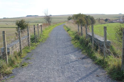
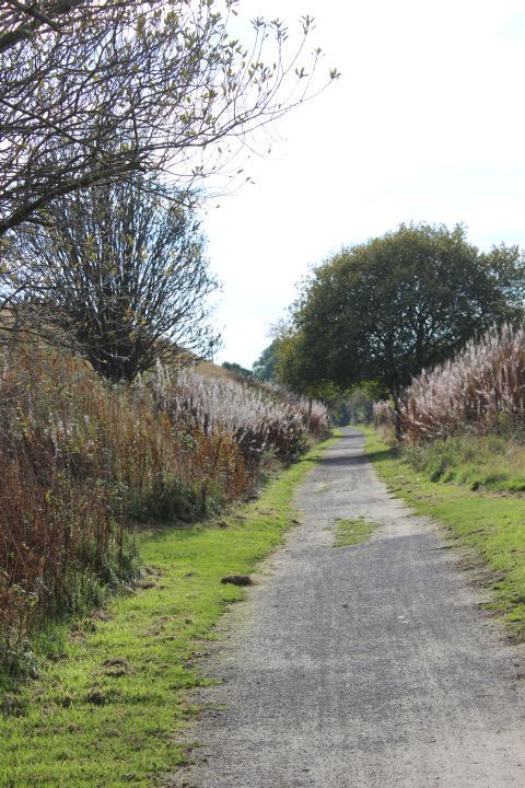
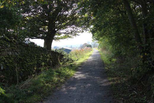
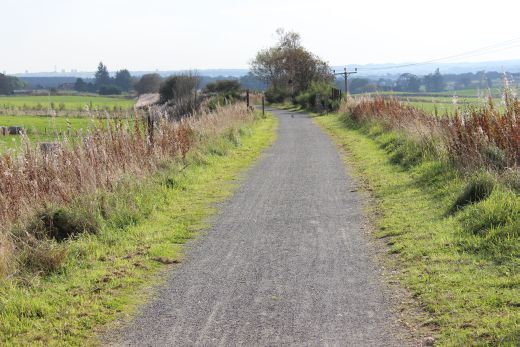
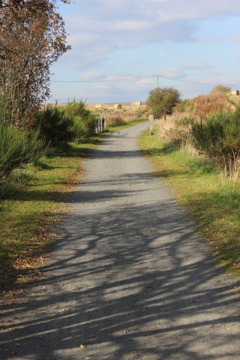
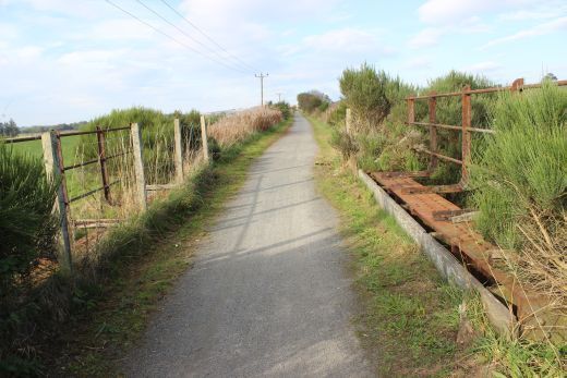
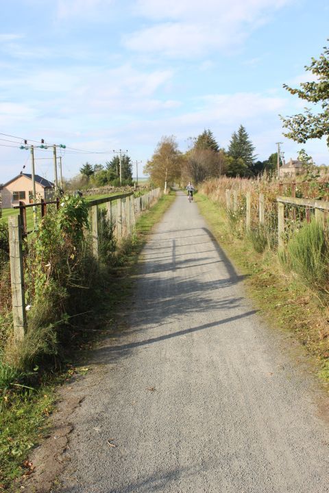
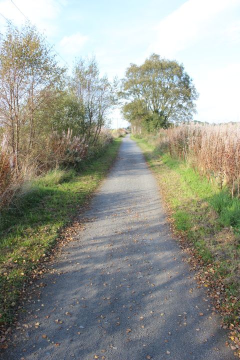
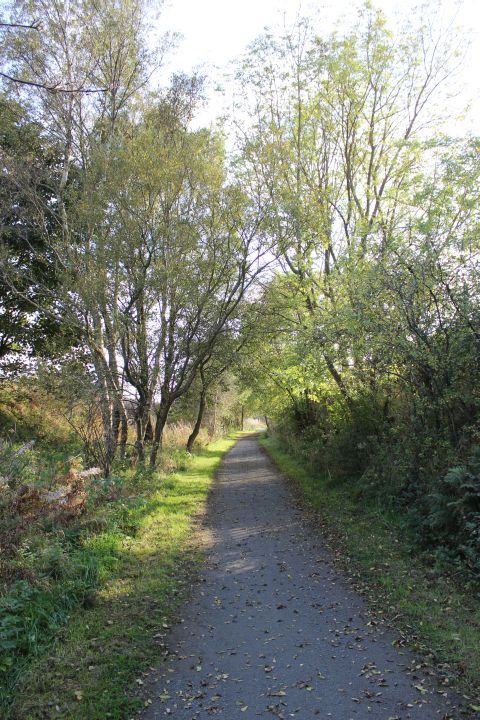
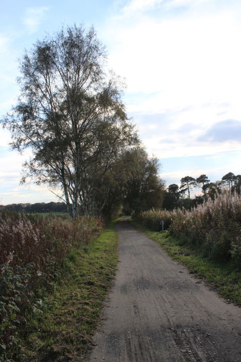
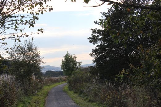
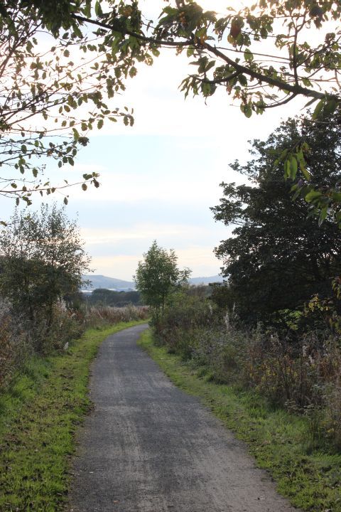
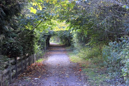
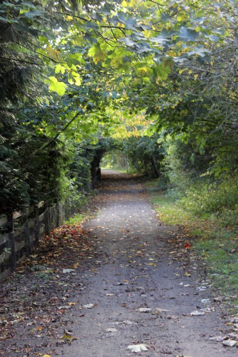
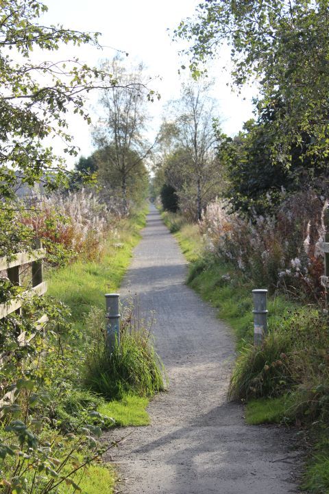
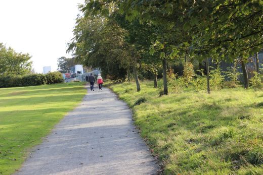
A long straight track bed towards Parkhill.
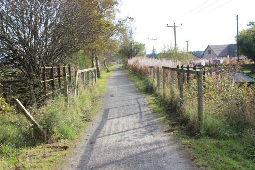
Left: Newmachar in the distance. Right: Within the long straight track bed, looking towards Newmachar.
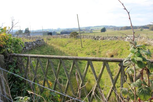
Near Newmach Services and the Coach House. The cutting below reminds you very much of a possible railway having been there but is merely a farm access road.
Left: Gate to the old farm that is now Newmachar Services. Right: Towards Newmachar.
Left: Towards Dyce. Right: Towards Newmachar.
Both: Towards Dyce.
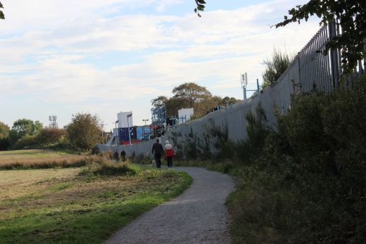
Left: The track bed heading south towards Parkhill. Buildings at Aberdeen start to be made out away in the left distance, a good 10 miles away. Right: The bridge crosses another farm access road.
This bridge crosses an access road from a farm onto the A947.
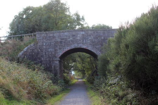
A burn overbridge.
The small burn that runs below thew track bed.
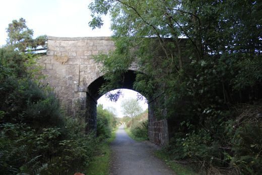
A large bridge but still just a farm access road. Left: Towards Parkhill. Right: Towards Newmachar.
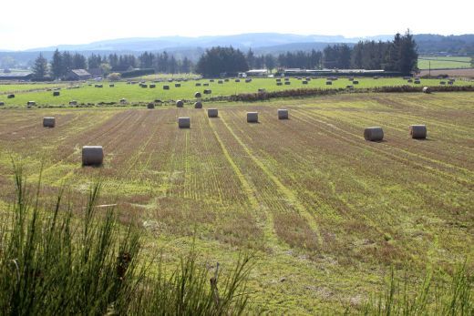
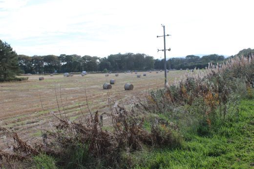
This was the sand pits where a spur ran in from Newmachar Goods Yard.
The north end of the Parkhill Goods Yard.
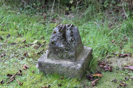
Don't know what these stumps were part of but this was the site of the Goods Yard that was on the west side of the main line and the long siding into a sand pit.
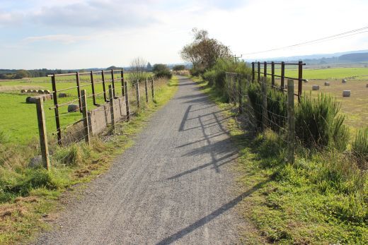
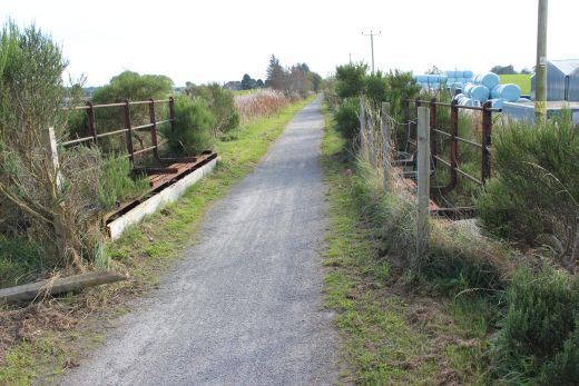
Left: An equally interesting farm crossing gate. Made to slow down whoever is using the crossing and remind them to take care and not rush across. Right: There was a safety barrier on the oher side too.
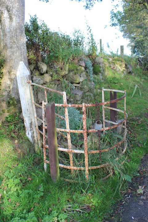
A close-up of the Up side level crossing safety barrier.
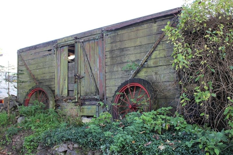
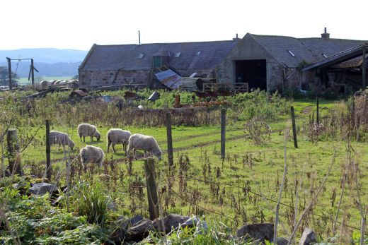
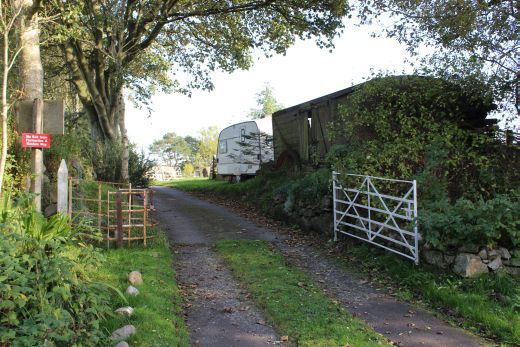
Someone's little joke!. Interesting to find an old railway wagon that appears to belong to the farm on the opposite (Down side) of the track bed.
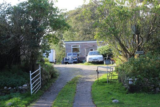
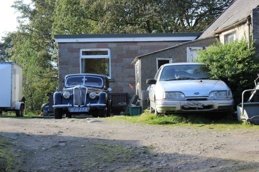
The farm on the down side of the track bed. This is private grounds. Interesting cars.
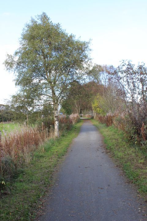
Towards Dyce.
Left: Two more lots of stumps. Right: Looking back across the Ex farm crossing, towards Newmachar.
30thSept2014.JPG)
Southward with the hills behind Dyce Airport in the back ground.
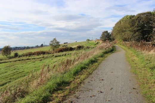
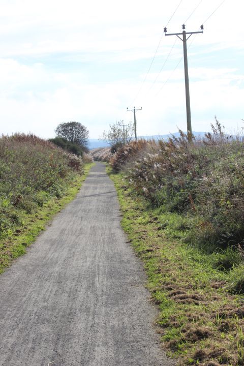
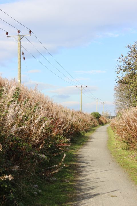
Heading southwards.
East side of the track bed, heading southwards.
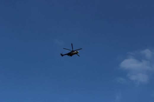
Left: An oil/gas supply helicopter appeaoching Dyce Airport. Right: Approaching Parkhill Station site.
Approaching Parkhill Station Site.
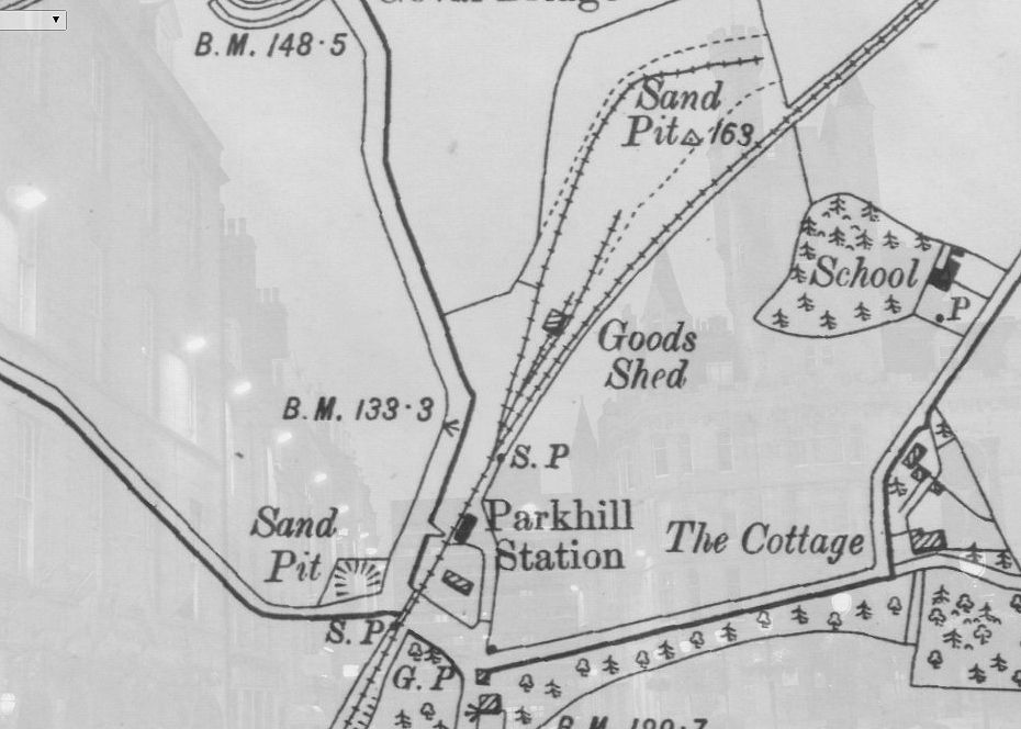
Park Station Layout. The Goods Yard lead off the north end of the station, which also had a long siding into a sand pit. (NSLMaps).
Park station only had the one platform, which was on the up side of the track..
Left: Platform edge, towards Dyce. Right: Towards Newmachar.
Left: The old station entrance to the right, with the south end of the platform. towards Dyce. Right: The platform remains, towardsDyce.

The Buhcan Way Board and the raised track bed and footbridge at the south end of the station site.
Left: The old entrance into the station from the west side of the station. Off the A947. Right: The Platform, towards Newmachar.
Southern end of the station. Towards Newmachar.
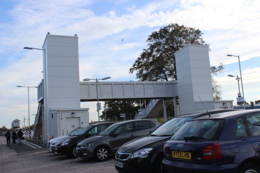
The old bridge replacement foot bridge rises to give additional head room for the road below. Towards Dyce.
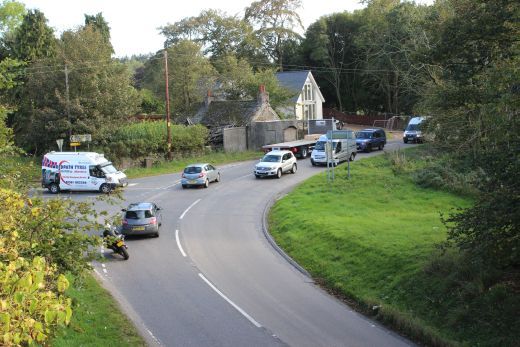
Traffic from the B977 joining the A947 coming north from Dyce. Left: East side. Right: West side.
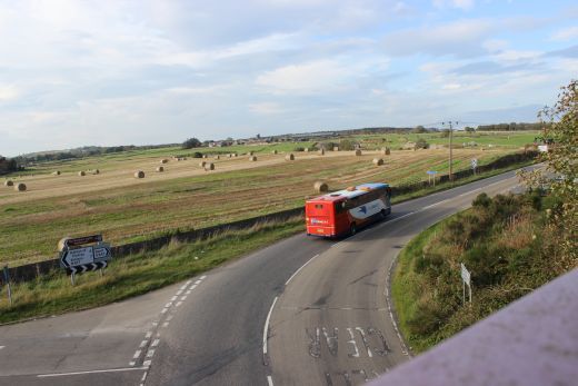
Road junction of the B977 and the A947. From the newer Footbridge that replaced the railway bridge. West side. The bus from Aberdeen is heading for Elgin via Fyvie, Turrif, McDuff, Banff and the coast.
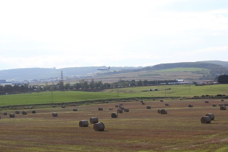
Moments from landing at Dyce Airport.
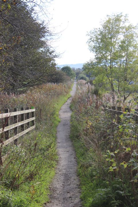
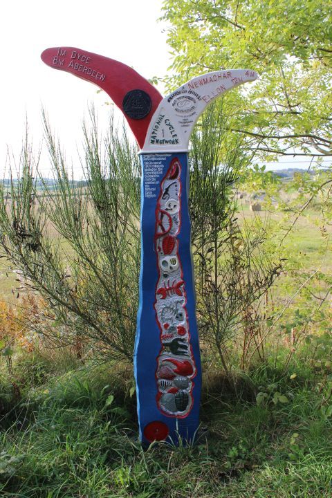
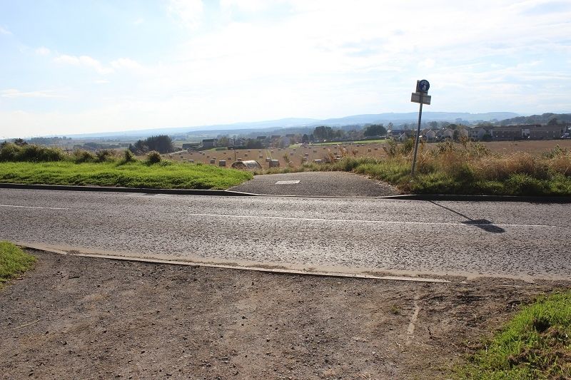
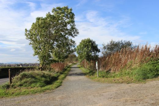
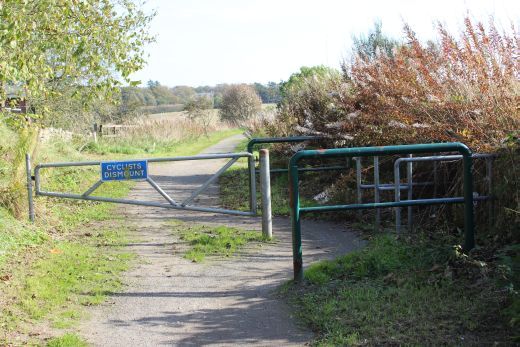
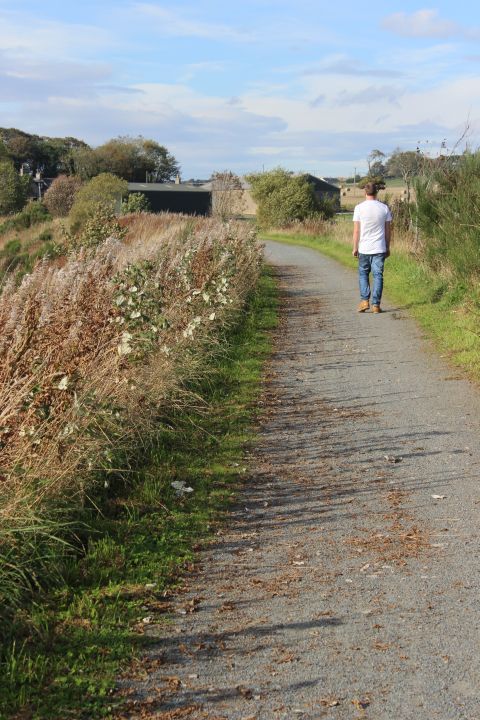
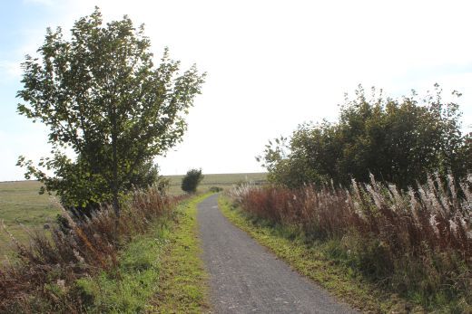
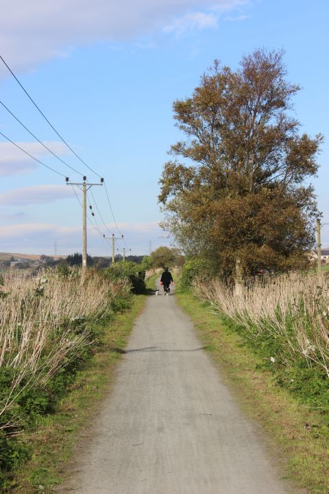
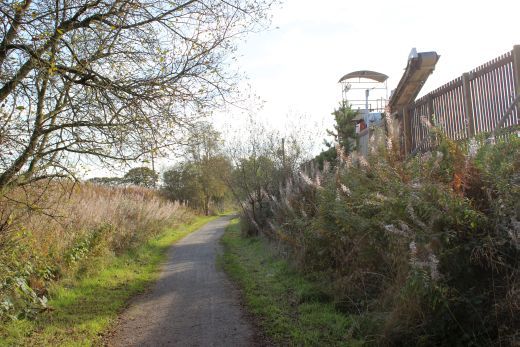
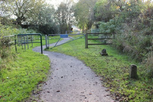
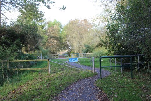
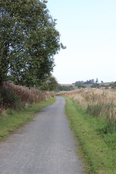
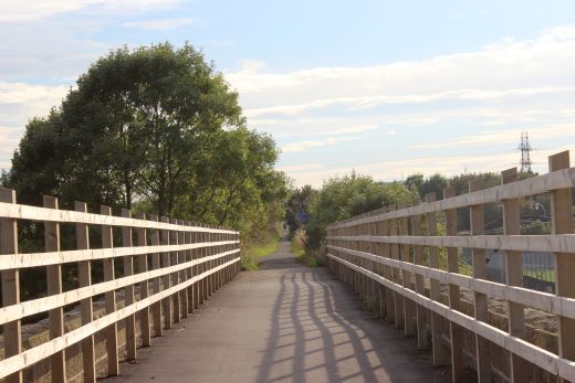
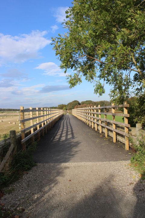
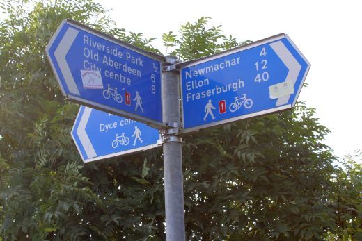
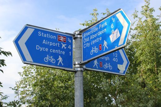
Left: Heading south from the south end of the Footbridge. Right: A National Cycle Network Trail sign.
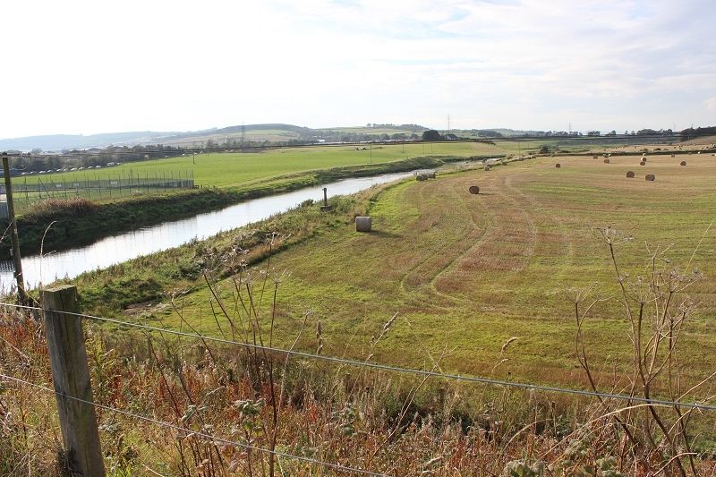
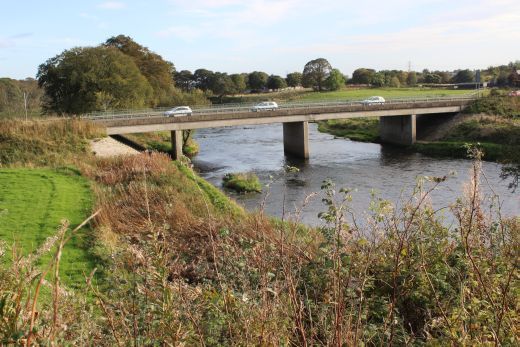
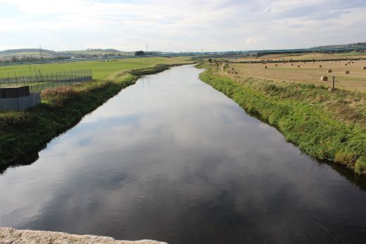
The river Don from the west side of the track bed.
Views to the west and East, respectfully.
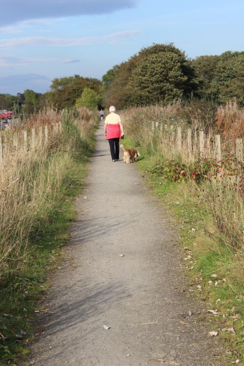
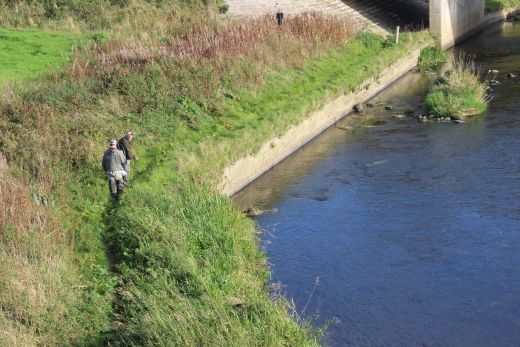
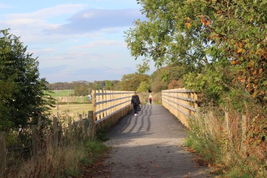
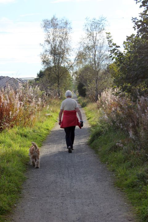
A rope pully over the River Don. Don't expect it get used any more! Right: Being in the outskirts of Dyce more people and even pets are passed on the track bed.
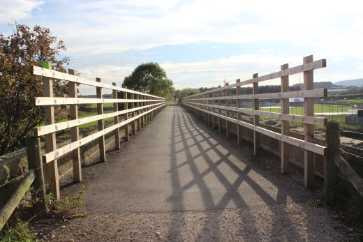
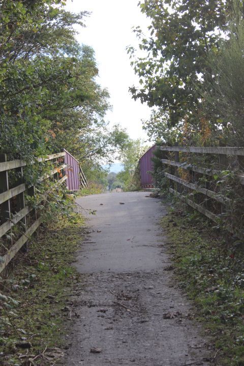
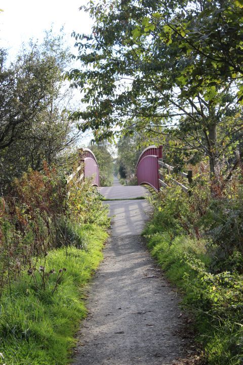
Two views looking southwards on the Parkhill Viaduct.
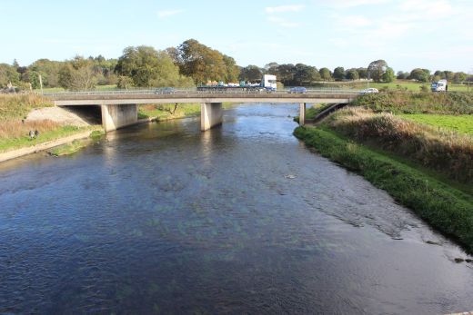
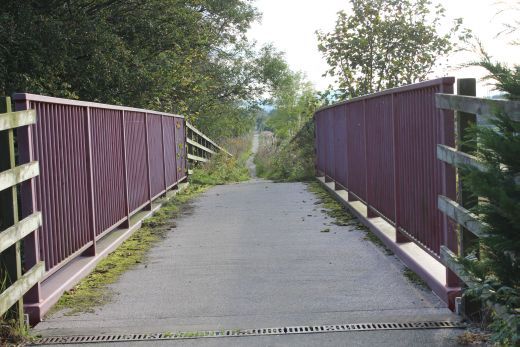
Views from the Parkhill Viaduct. Left: Westwards. Right: Eastwards with the A947 Parkhill Bridge.
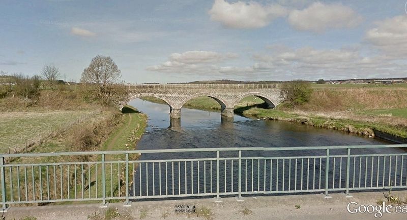
The Parkhill Viaduct as seen from the A947, looking westwards. (Google Earth). Opposite view from the photo above, right.
Looking northwards over the Parkhill Viaduct.
Only 3 quarters of a mile to go.
Right: The evening peak hour traffic is building up on the busy A947.
The red bridge over Dyce Drive.
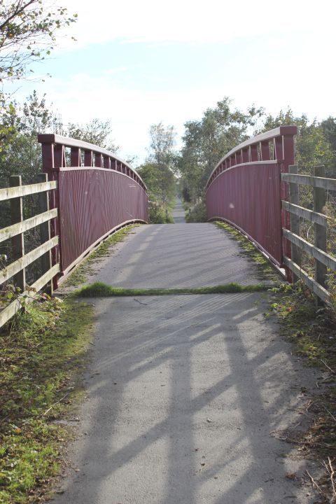
The red bridge. Left: Looking southwards to Dyce. Right: Looking northwards to Newmachar.
Getting nearer to my destination. Right: Approaching the bridge over Lawson Drive. This new road takes it's name from Lawson's Sausage & Pie factory that stood near by for many years and a major source of
employment for Dyce.
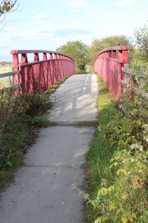
The Lawson Drive over bridge. First towards Dyce station then back towards Newmachar.
The final quarter of a mile to Dyce station.
Left: The fence divides the Buchan track bed from the main line. Right: I had not seen the two lift towers over the main line platforms before.
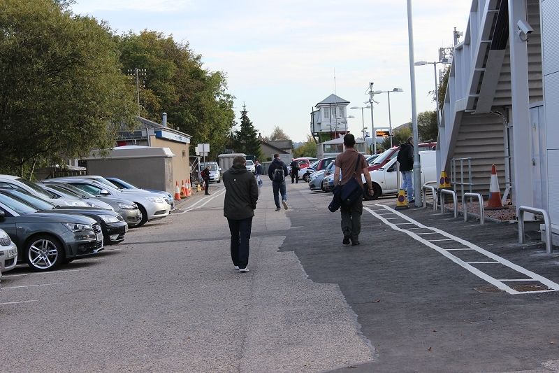
End of my walk, well timed, by chance, to catch a train booked to arrive in four minutes for Aberdeen at 16.28. Just under seven hours since leaving Ellon. In the 60's
you could well have a two hour wait. The people are walking on what would have been between the Up & Down platforms of the Buchan branch. The building on the
left (A Chip Shop) is built on the site of the Up branch platform. The branch continued forward joining the Up Main behind the lefthand side of the signal box.
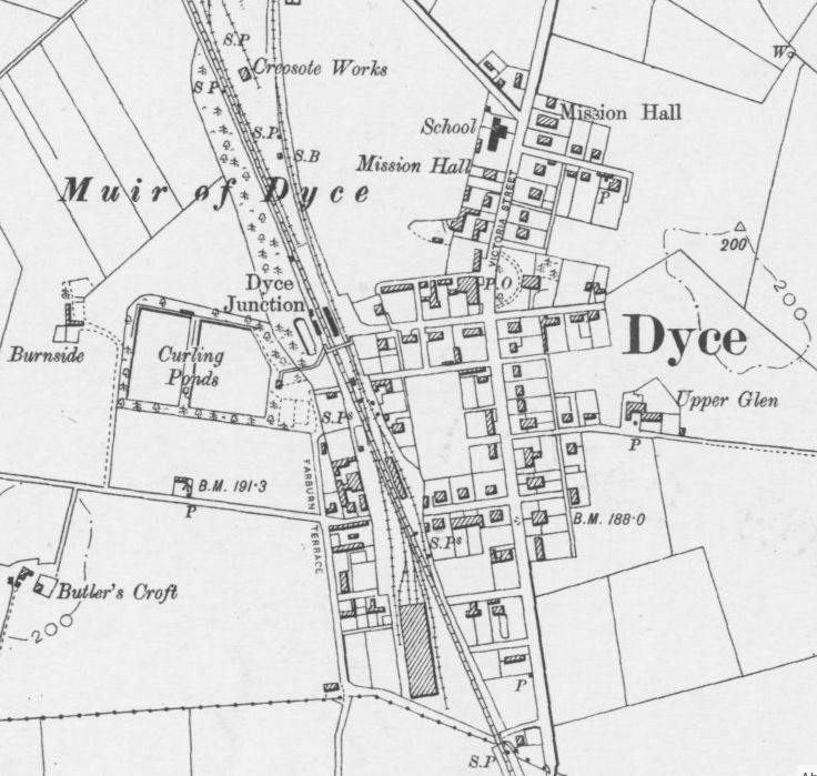
Dyce Station. (NLS Maps). Shows the Buchan branch coming in from the north alongside the mainline.
The ain GNSR Carriage Shed is seen at the south end. The shed ramained in use up until passenger closure in the mid 1960's
I remember shunting (as a secondman) the the works at the north end of the main line..
================================================================
Back To Index Back to Home Page
This page brought to you by:
VintageHammond.Com - We Buy-Sell-Trade Vintage Hammond Organs and Roll or Kari Organ/Vending Machine Moving Dollies Order Roll or Kari Dollies Here