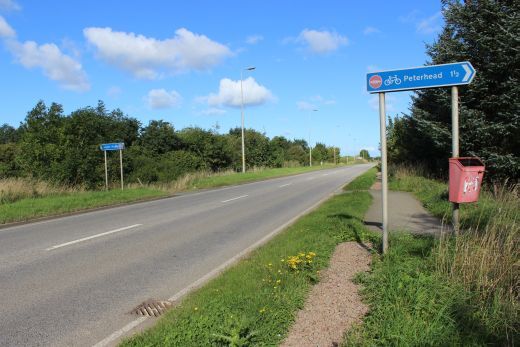
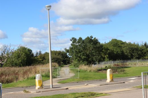
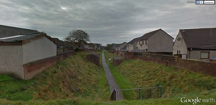
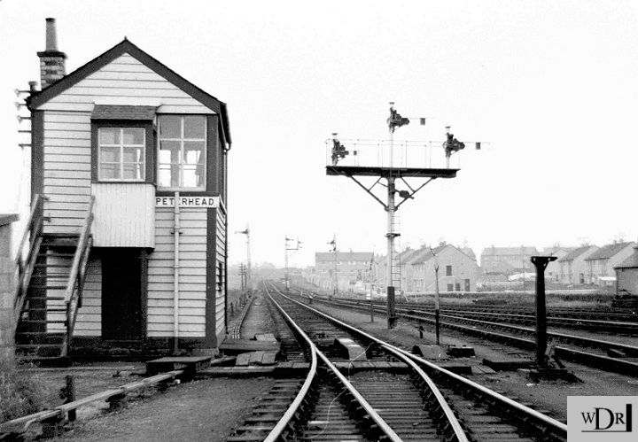
INVERUGIE TO PETERHEAD
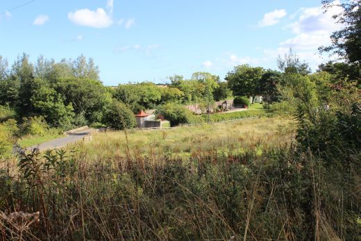
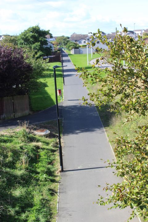
The final couple of miles or so into Peterhead. I remember it as being mostly quite open country but the town has expanded considerably to the east
and you quickly feel that you are already in Peterhead, albeit it is still a mixture of over and under bridges with a number of new crossings where
new roads have been formed. The station site has changed so much that it was difficult working out where things were.
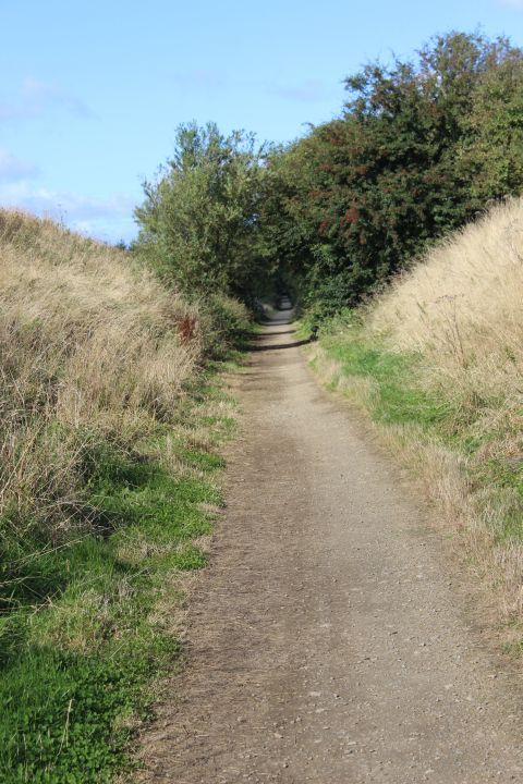
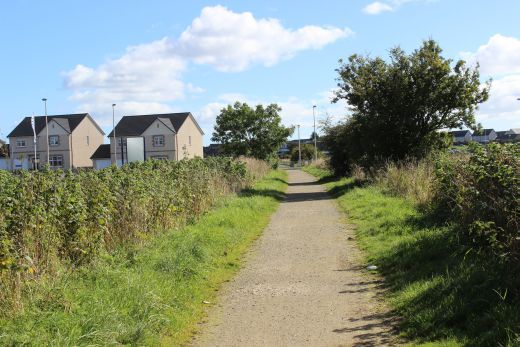
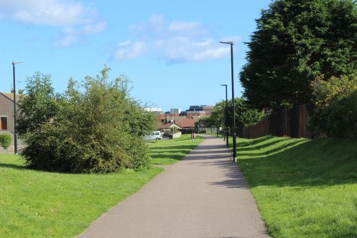
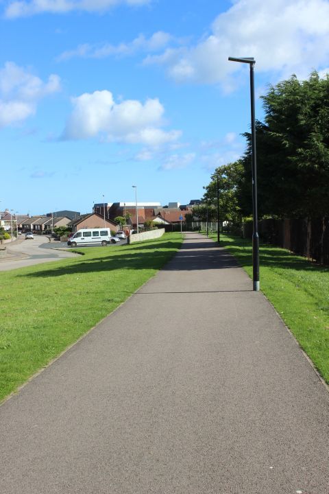
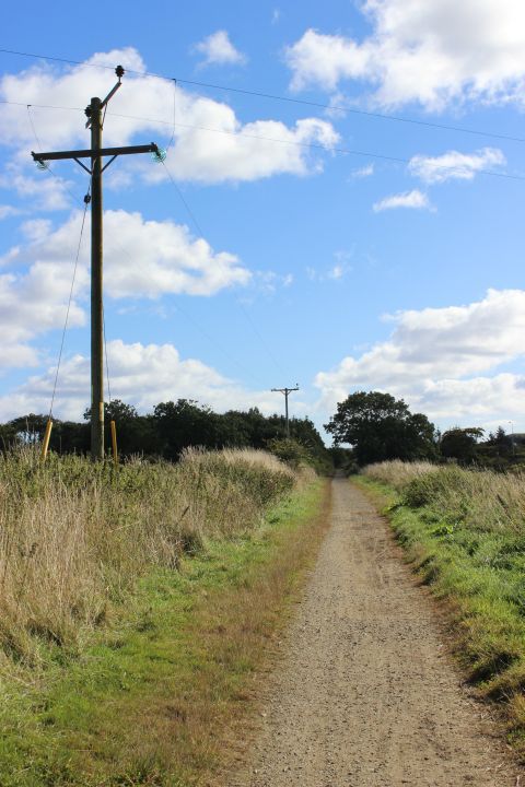
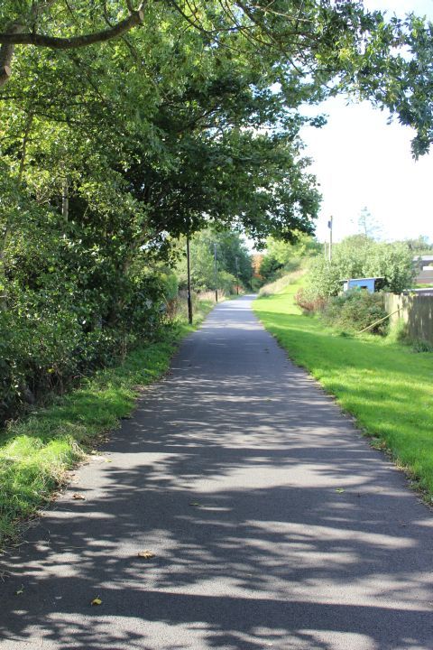
Just north of Inverugie station site, towards Peterhead. Left: Taken with the 18mm wide setting. Right: Taken with the 55mm setting.
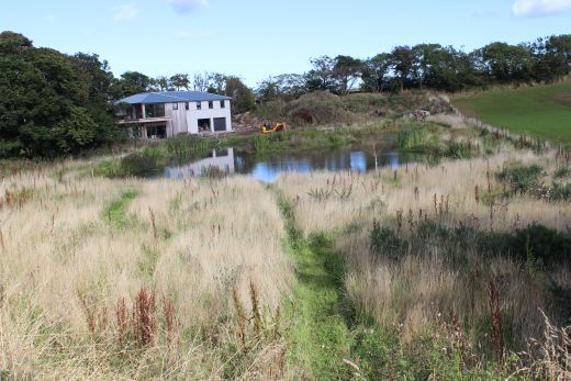
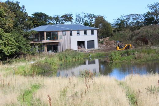
A modern house being built by a small pool. North side of the track bed.
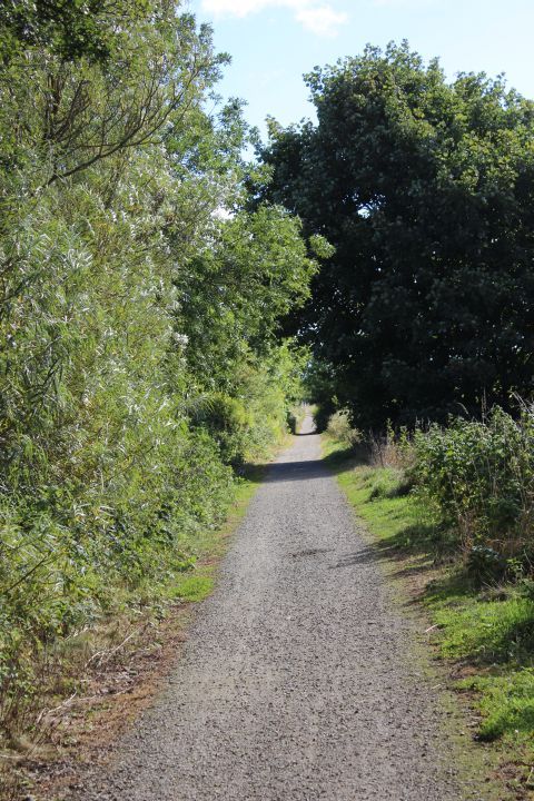
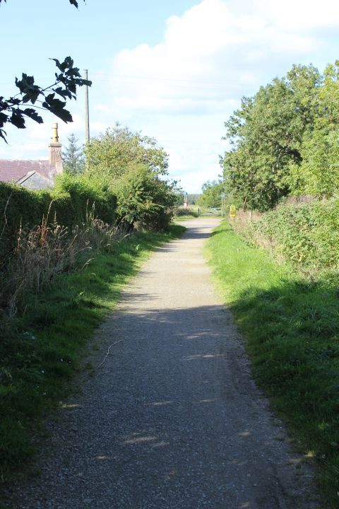
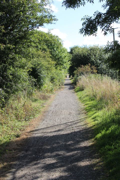
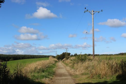
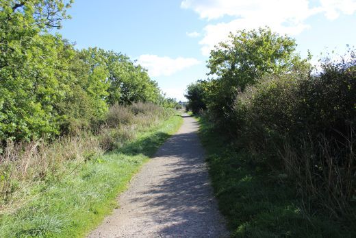
Towards Peterhead.
Towards Peterhead. Towards Inverugie.
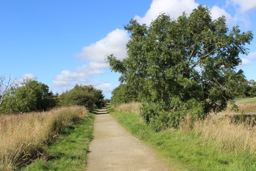
Towards Peterhead.
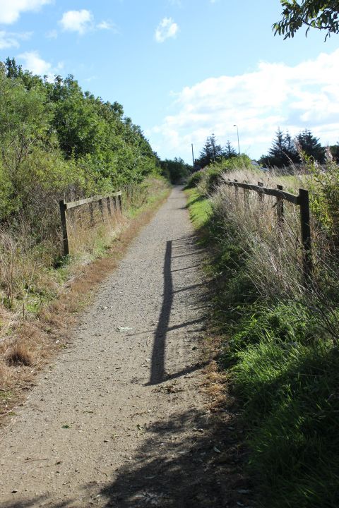
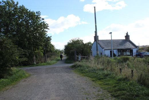
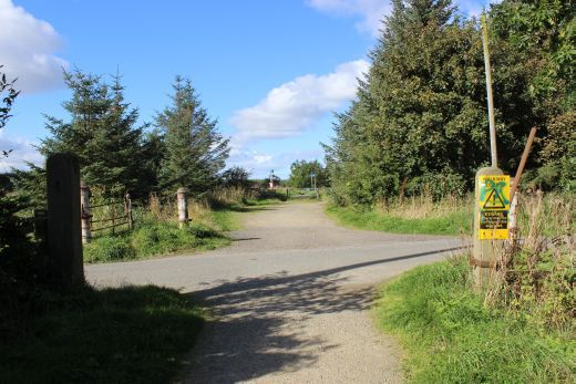
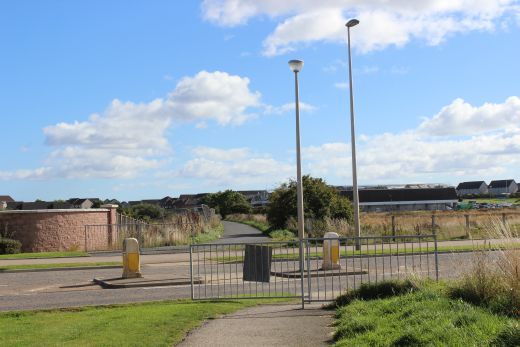
Left: Back towards Inverugie. Right: Approaching the new crossing on the new section of road that by-passes the original road and level crossing.
Eastwards and westwards, respectfully.
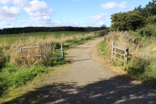
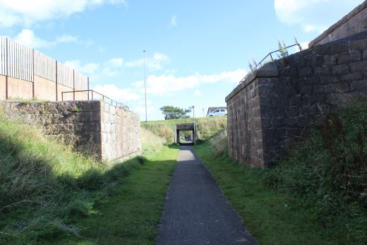
The original crossing was on the old road, with the new road in the foreground.
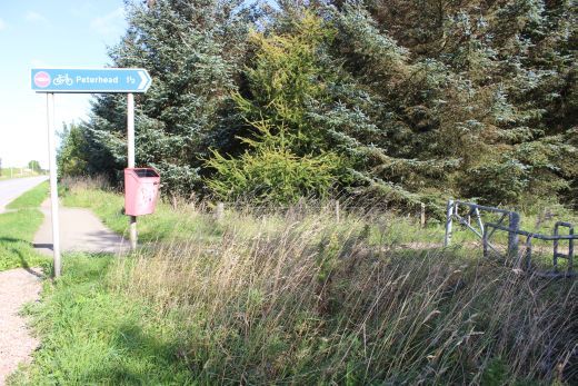
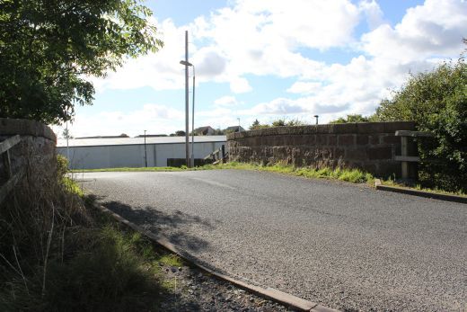
This crossing has been made when the new A90 road was built. The original crossing is to the right.
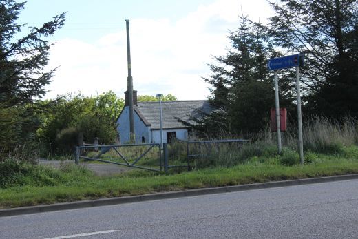
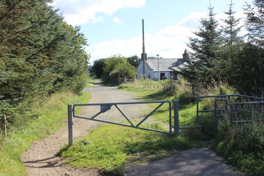
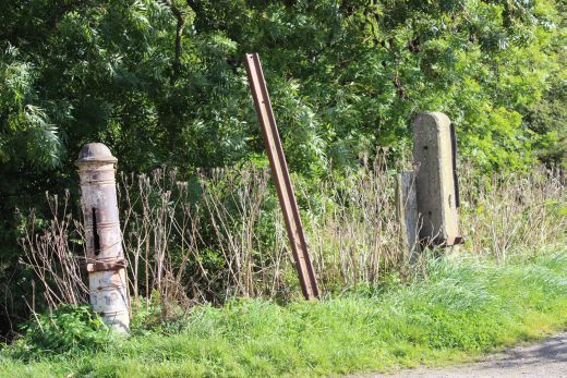
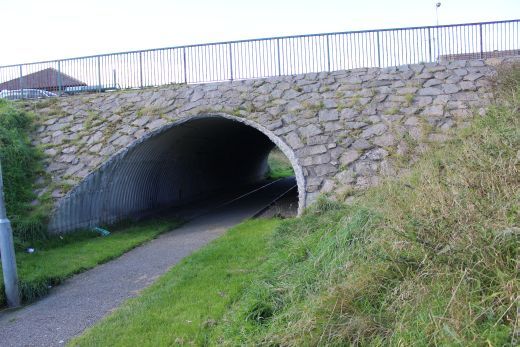
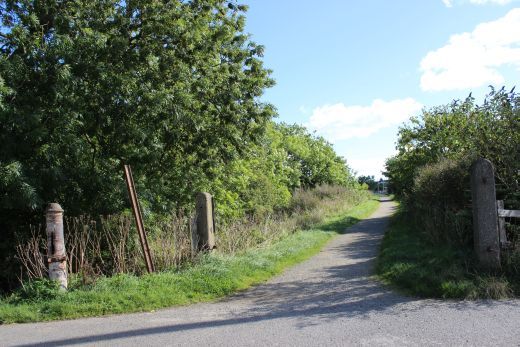
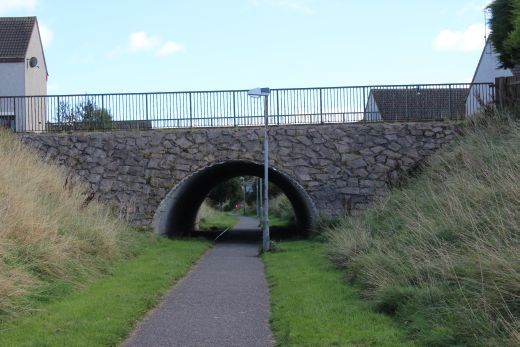
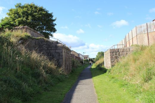
The original level crossing and Crossing Keeper's house. On the western outskirts of Peterhead.
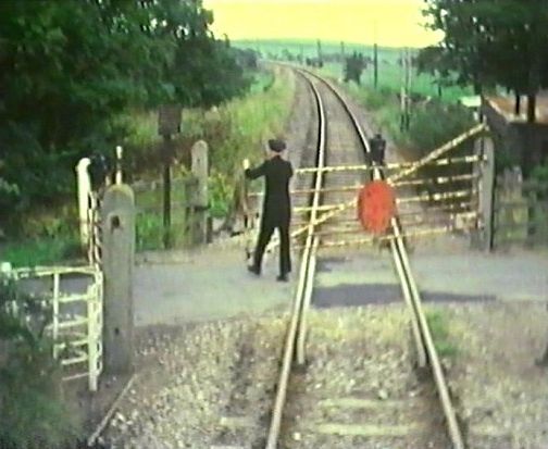
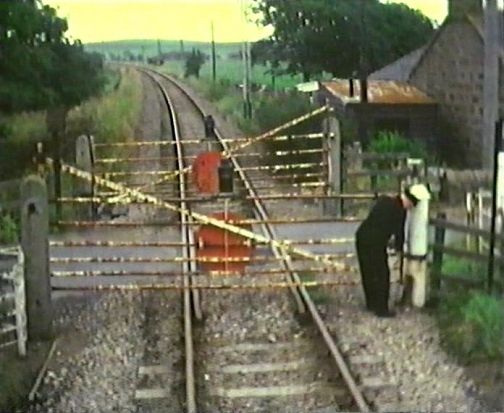
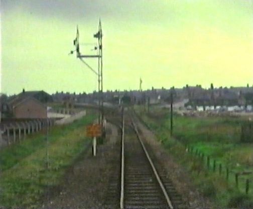
Taken from the wagon-clearing train brake van. The guard is closing the gates on the final train working in 1979. It will open again for the track-lifting crew
and train. N.B. the sparsness of building between the crossing and Peterhead, in comparison to the present day. (Video film screen grab).
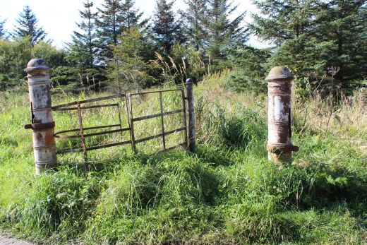
The gates were designed so tha no staff could walk or run directly onto the road.
This is seen in the photo above, right, where the guard is locking the gate
to the post.
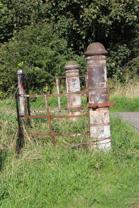
The gate posts were of concete but the posts for the staff crossing were made of metal, as were the swing gates. Right: This is the gate seen in the old photo above, left.
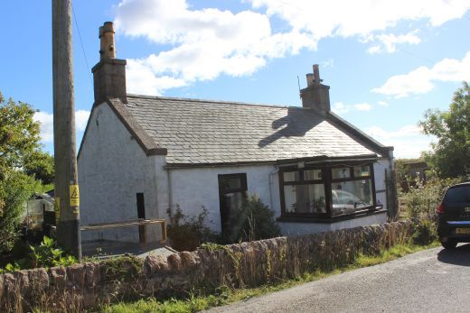
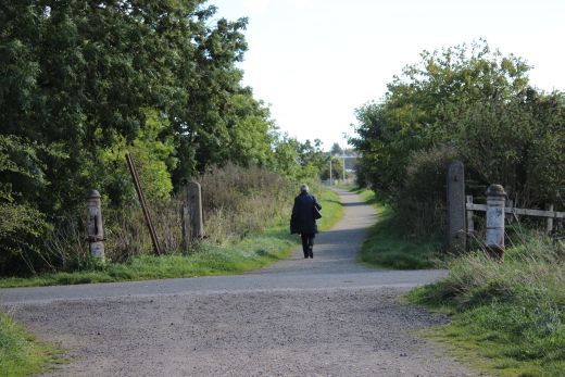
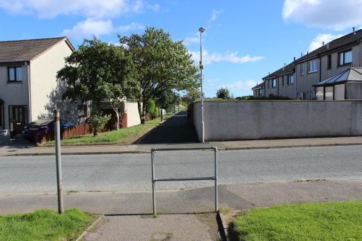
Left: The Ex Crossing Keeper's house is now a private dwelling. Right: The crossing, looking northwards on the road.
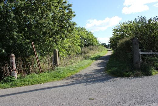
The interesting ornamental gate posts.
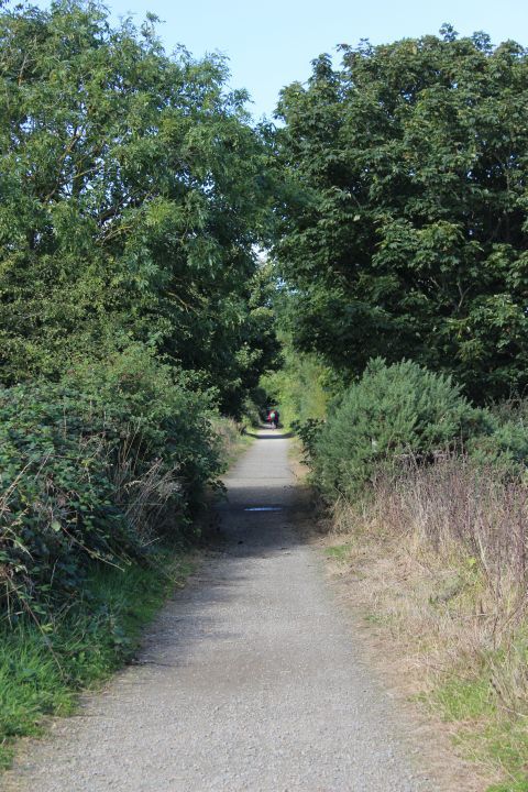
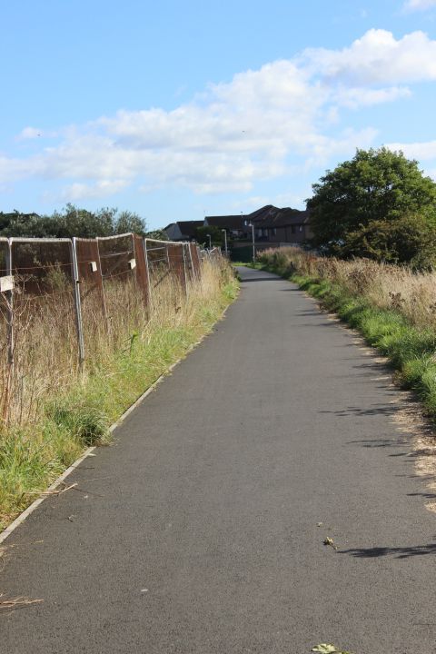
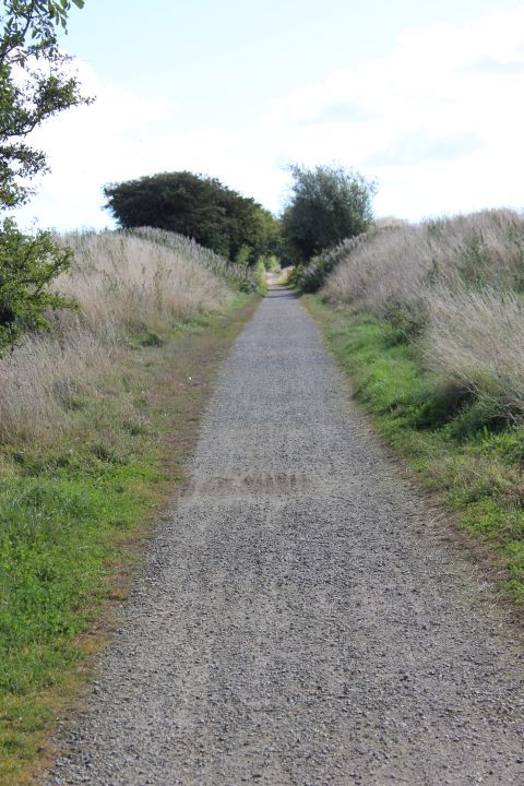
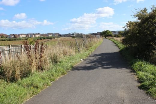
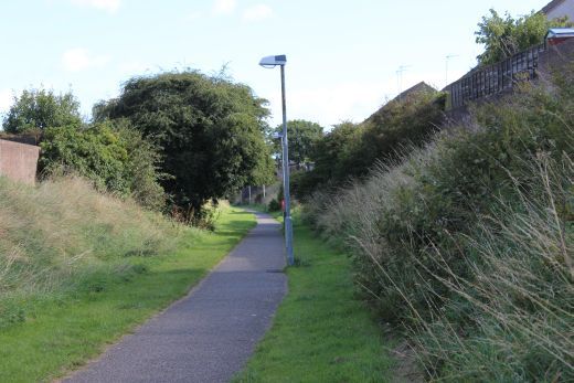
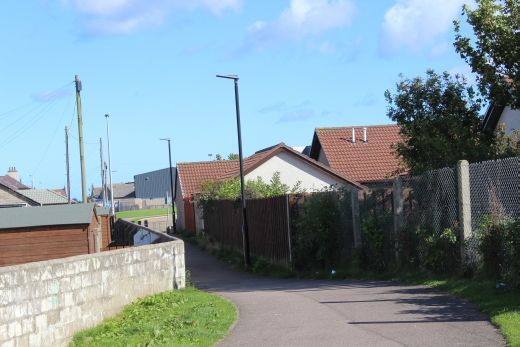
Towards Peterhead
Left: Back towards Inverugie. Right: Towards Peterhead.
Looking back towards the old crossing.
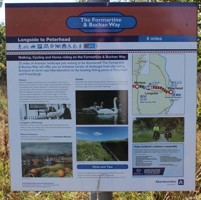
Information board by the old crossing.
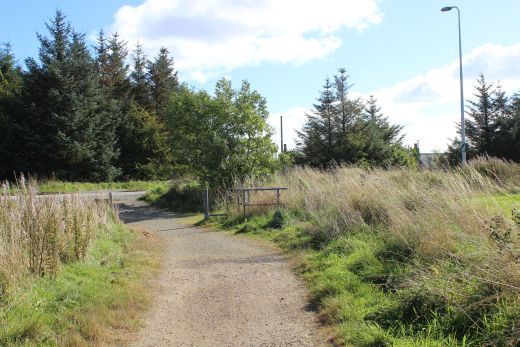
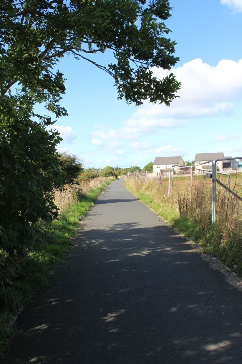
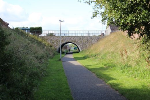
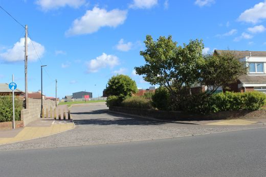
Left: Another 'new' crossing due to a new road.
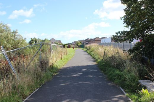
Towards Peterhead. Towards Inverugie.
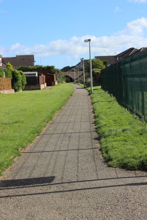
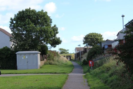
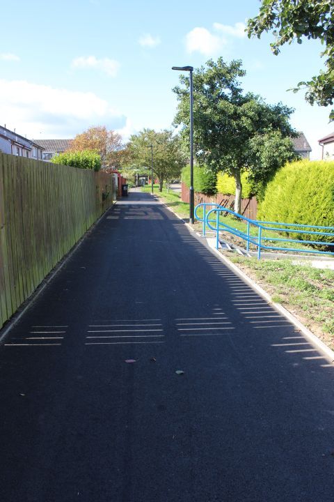
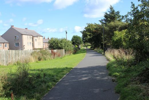
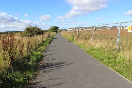
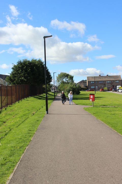
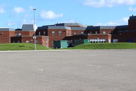
This new estate is still growing. I seems incredible how many towns that lost their railways have expanded considerably, which I am sure would have been
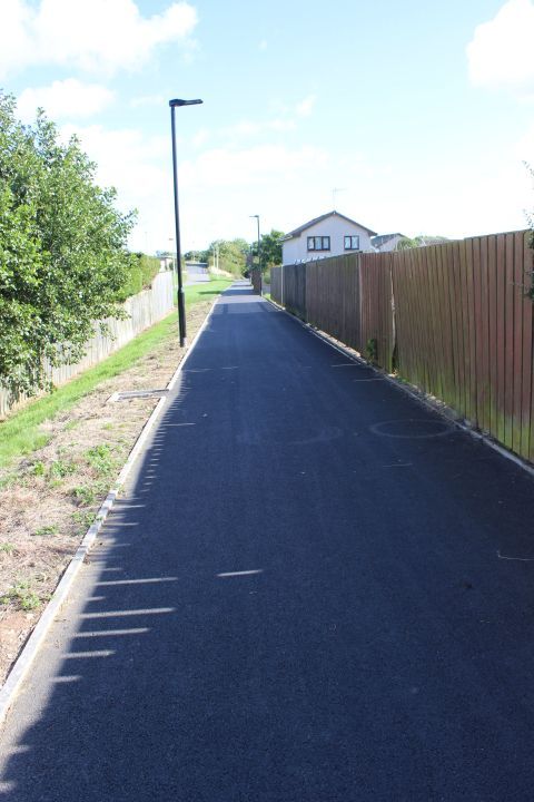
a bonus to the railway if it had been kept. Left: Looking westwards. Right: Towards Peterhead station site.
Ditto.
Towards the station site.
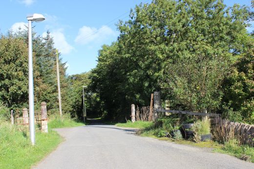
New over bridge on Richmond Avenue. Another "complication" for any possible reopening!
The new bridge at Richmond Avenue. This is another bar to any possible
branch reopening!
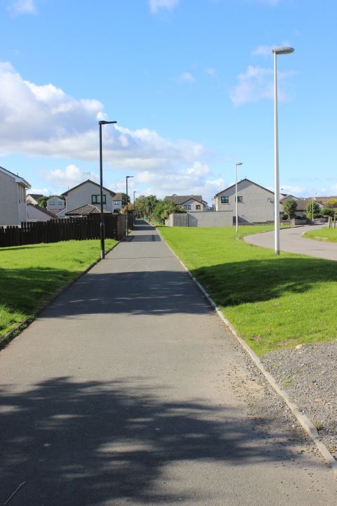
Left: View westwards. Right: View towards station site.
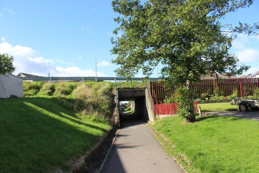
The old over bridge, replaced by the new over bridge up ahead, on Richmond Avenue.
Left: An old over bridge, where the road has been abandoned and a new road built nearer the town. Right: Towards station site..
The old bridge remains seen from Richmond Avenue, looking westwards. (Google Photo).
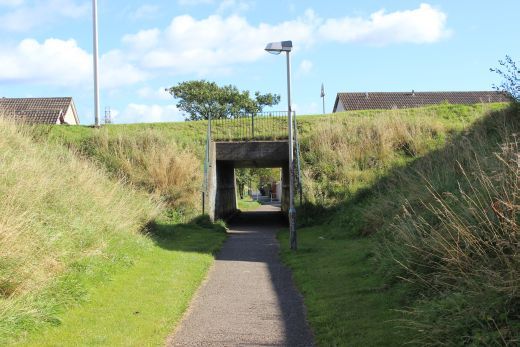
Yet another new cossing, over Mallard Drive on the new estate.
Westward and eastward views, respectfully.
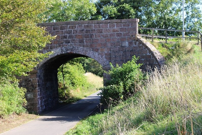
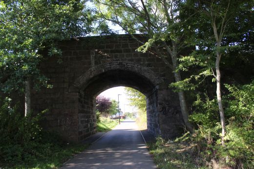
Over bridge on Copelandhill Road. The distant signal for the station stood on the left. (See below).
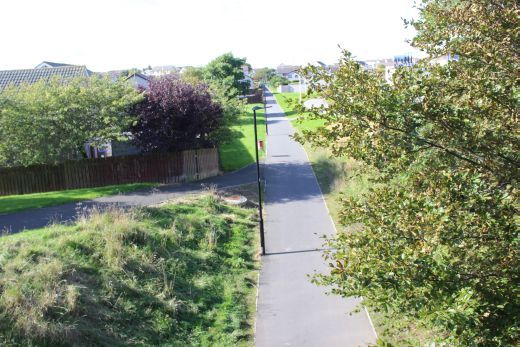
Views from the over bridge (westwards).
On the over bridge.
Copelandhill Overbridge. Left: Towards Peterhead. Right: Towards Inverugie.
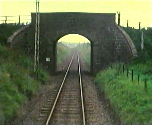
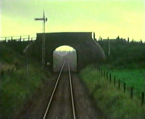
As above left. Copeland Hill over bridge, almost from the same spot. Taken from the wagon-clearing train brake van in 1979.(Video film screen grab).
Eastwards from the over bridge, towards the station site.
Left: Back towards Iverugie. Right: First sighting of the station and Goods yards site comes into view.
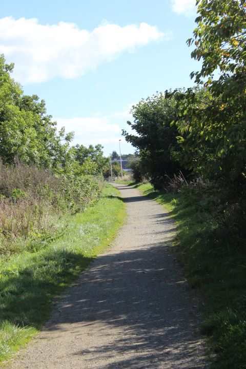
Left: This is the point where the path has been diverted to the right of the actual track bed up to where today you can enter the throat of the old station
site. Right: The new path leading up to the station site. The original track bed within the trees to the right. See below.
The pointer to where this image was taken is by the red brick building on the left.
You can see it behind the white van in the photo above, right. Follow the straight
track to the station and you can seehow this present path has been moved to the
left as the way is blocked by the houses. (Video film screen grab).
I had a feeling that this wasn't quite the right spot for the main line running into the station. The running line was a little further to the right, which is blocked
by those houses. Left: Approaching the open space that was the station, Goods yard and loco depot. Rght: Towards Inverugie, the only opening left where the
railway can get into the station site.
Petehead station layout. (NLS Maps).
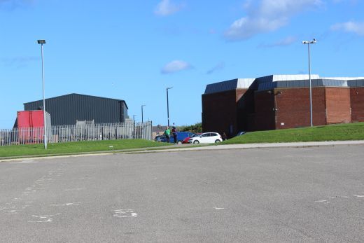
Left: Just ahead is where the loco dept stood, with the tuntable to it's left by the permater wall. To the right of the Loco depot the harbour branch went out over the
road in front of the station. Right: The shed was to the left and the Goods shed just left of centre with the station to the right.
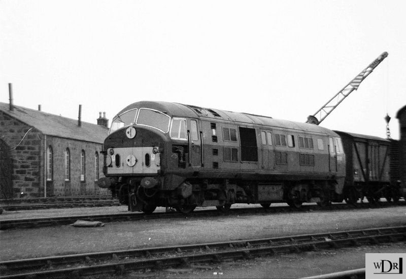
This is about the nearest to my 1964 photo (Below) of D6148 in the Goods Yard by the loco depot.
North British Locomotove Co. built Type 2 D6148 on a train in the Goods Yard with the locomotive shed on the left.
The track nearest the shed is that which went down to the Harour.
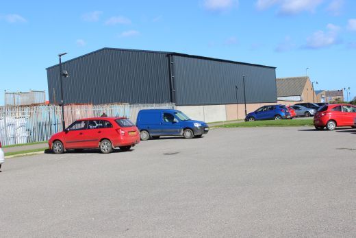
Site of the Water Tower and Turntable.
Again, this is about the nearest I could get to the same spot as my 1964 photo below. They have completely built-over the direct
line of site. This is what will add to making reopening the railway difficult and expensive to ever return to the same spot for a
new station. This has been cropped from a much wider view to mach as much as possible with the 1964 photo.
About the only things still visible to mark this spot are the houses to the immedate right of the signal post facing the
same angle as the railway track and the north side perameter stone wall. N.B. The remains of the Auto single line
token exchange aparatus, on the far right.
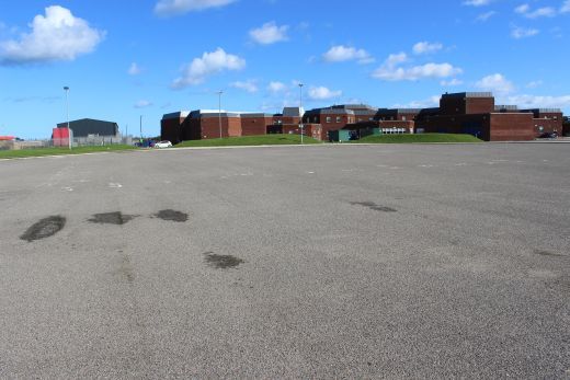
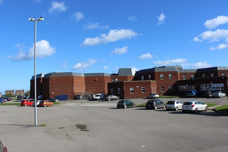
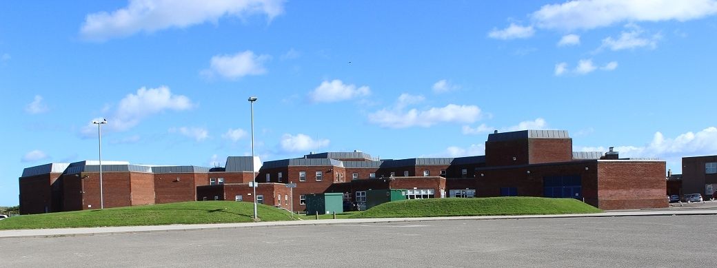
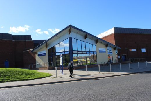
The Ex Station site, from the Goods Yard site. Not the prettiest of buildings and certainly not in keeping with the traditional pink
Peterhead granite. See below.
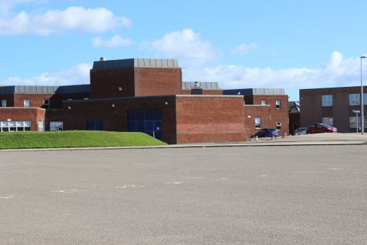
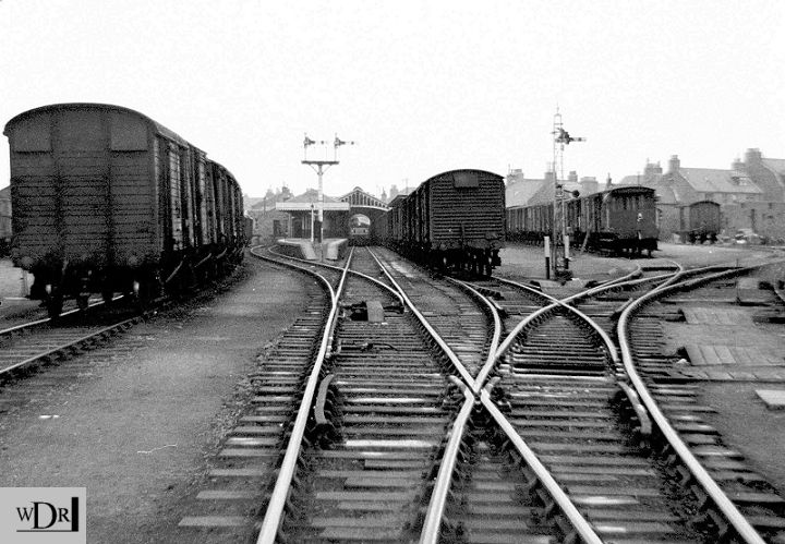
The reverse view from photo above The points thast I was standing on when taking the phto is where passenger
trains would stop at the control signals and the loco uncouple and run into one of the sidings on the right. The coaches
would be dropped down to the station under gravity and controlled by the guard. The loco would then be shunted from
the siding, onto the front of the coaches for the the next journey. The points for the loco run-rounds were removed
some years before actual closure.
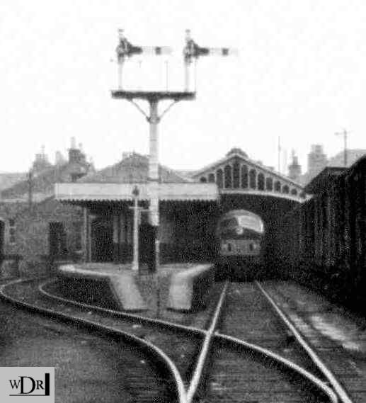
A cropped image from the photo above of the locomotive and it's train in
the passenger station.
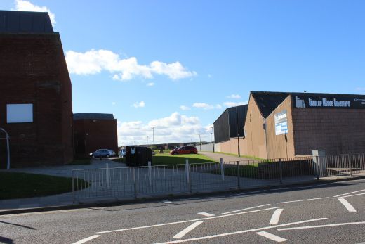
Left: The Goods Yard entrance. On Queen Street and where the harbour branch began. Right: The old station entrance site.================================================================
Railscot: https://www.railscot.co.uk/ Excellent web site on Scotland's railways. Maps, photos and historical details.