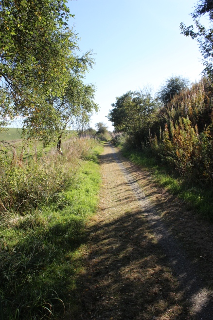
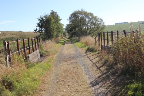
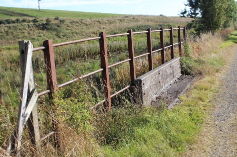
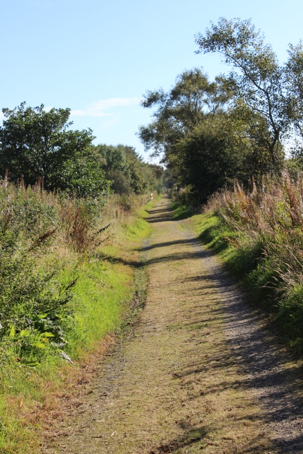
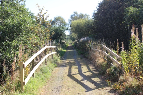
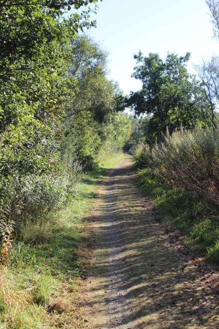
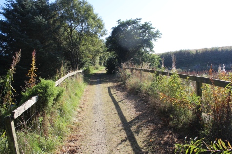
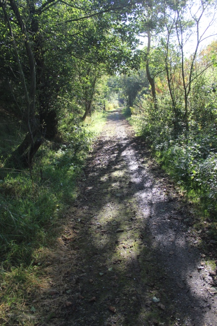
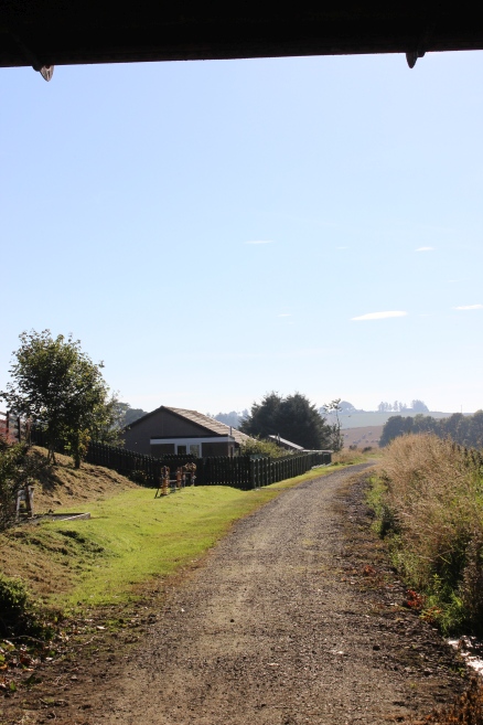
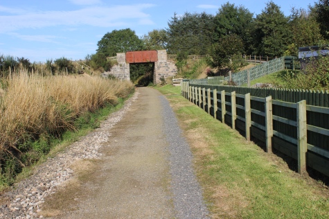
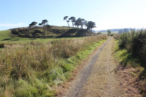
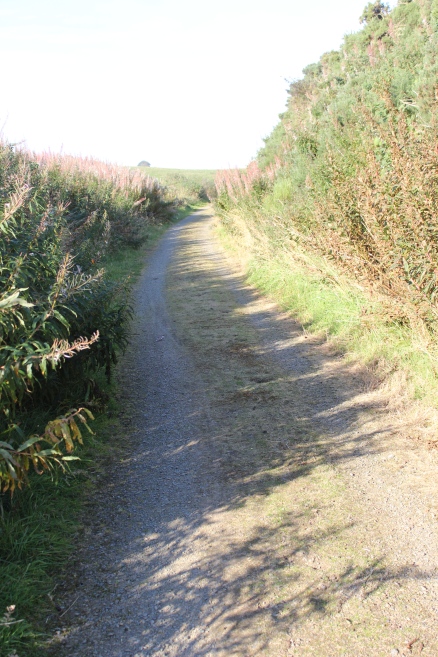
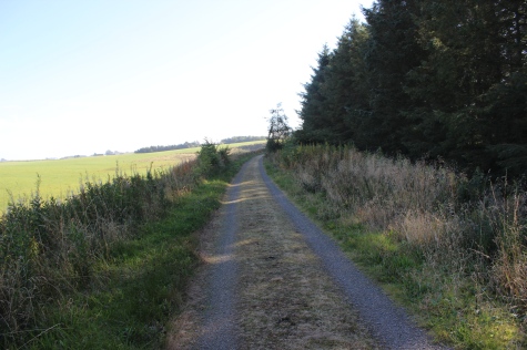
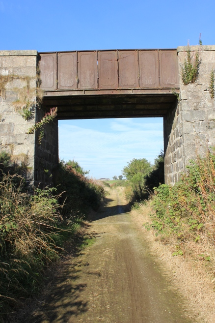
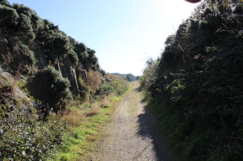
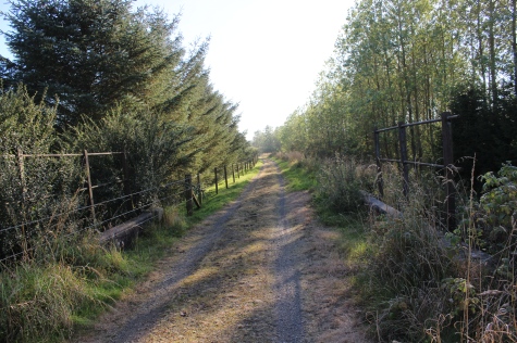
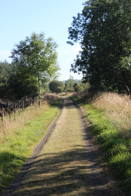
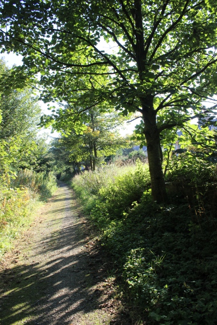
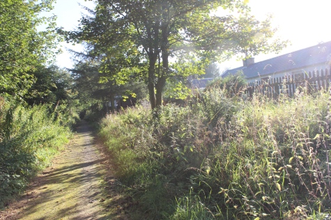
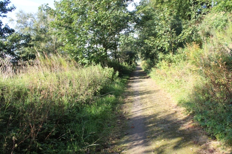
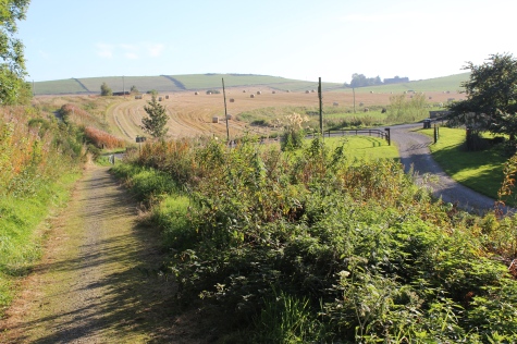
Left: On the path around the demolished bridge and road takes you back onto the track bed to continue southward.
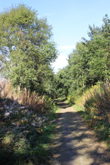
Right: Reverse view, where the track bed ran northwards, below the road and into the station up ahead.
STRICHEN TO ELLON WALK
(29th Sept 2015)
AUCHNAGATT TO ARNAGE
The name Auchnagatt are from two Gaidhlig words, Auchaidh, meaning a field and Na meaning Of/Of The, and an Anglo-Scottish word for a Gate.
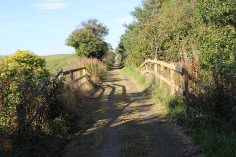
Left:
On the path around the demolished bridge and road takes you back onto
the track bed to continue southward.
Right: Reverse view, where the track bed ran
northwards, below the road and into the station up ahead.
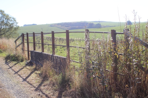
Bridge
over the Ebrie Burn.
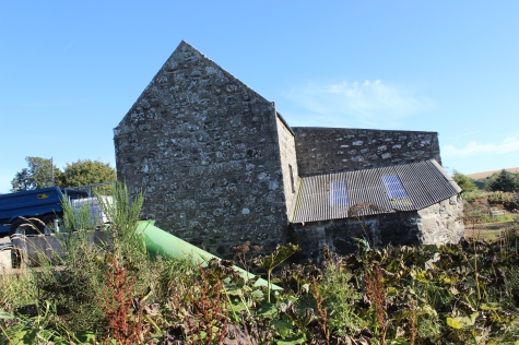
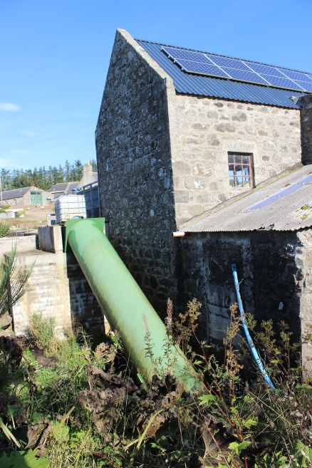
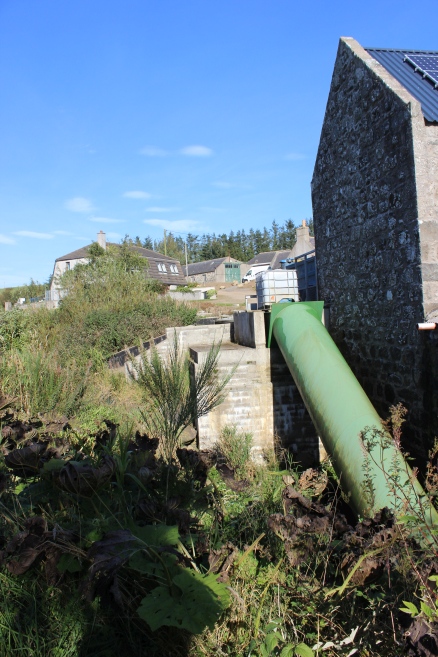
The
Mill Of Elrck, with a more modern spiral that may have replaced
an original water wheel.
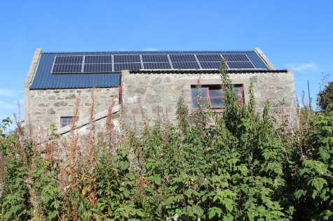
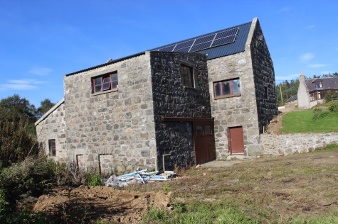
Left:
An old mill but with modern Solar Cells for economy.
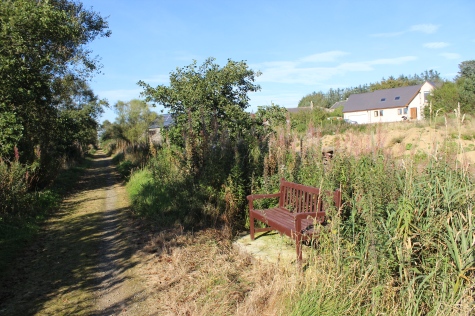
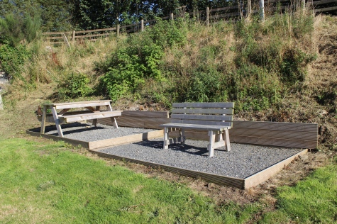
A
restful spot but having rested and eaten at the station site, I didn't
try it out.
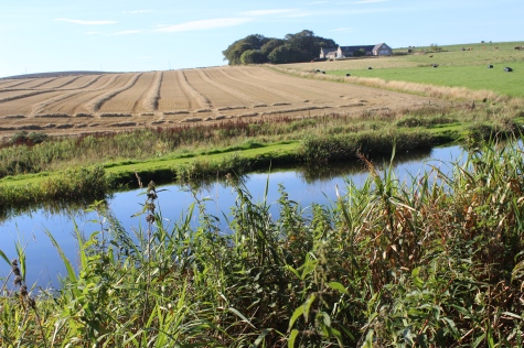
Left:
A reservoir that may also be used for Fishing! There is a larger
reservoir just to the north of the Mill, on the east side of the track
bed.
Right:
The reservoir from a little further south. Fed from the Embrie
Burn.
Yet
another bridge over the Embrie Burn.
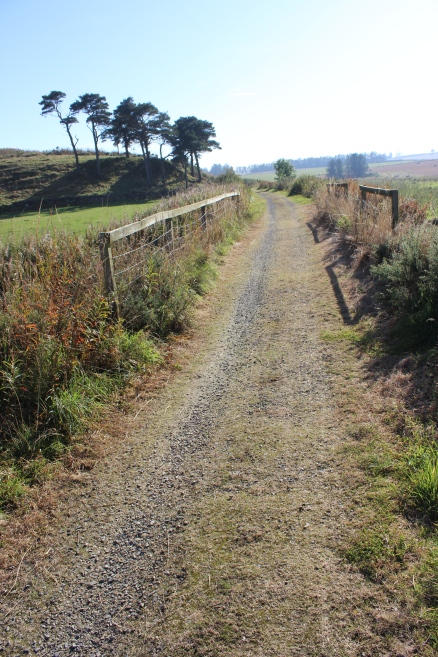
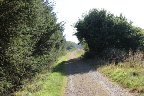
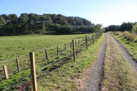
Left:
Back towards
Auchnagatt.
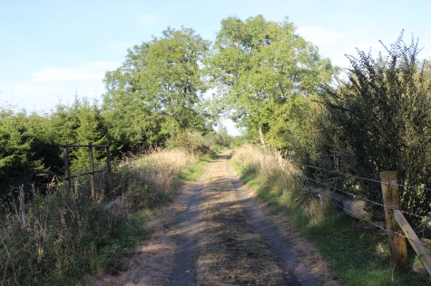
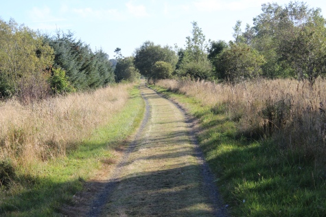
Right: Southwards towards Arnage.
Ditto.
Left:
Back towards
Auchnagatt.
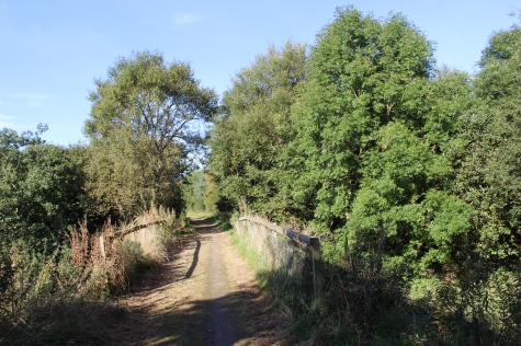
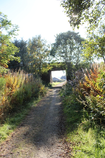
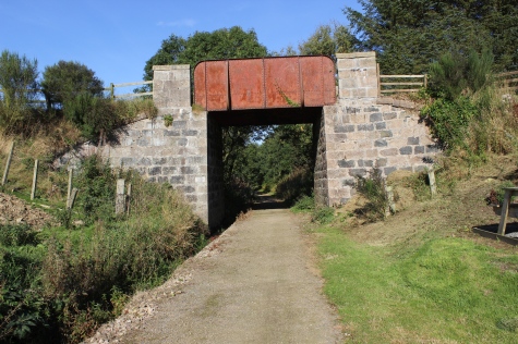
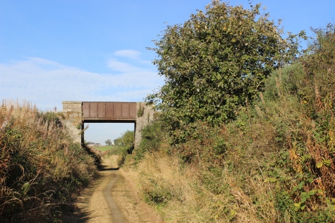
Right: Another over bridge, looking southwards.The over bridge.
Railway
over-bridge on the Savoch-Fortree 'C' road.
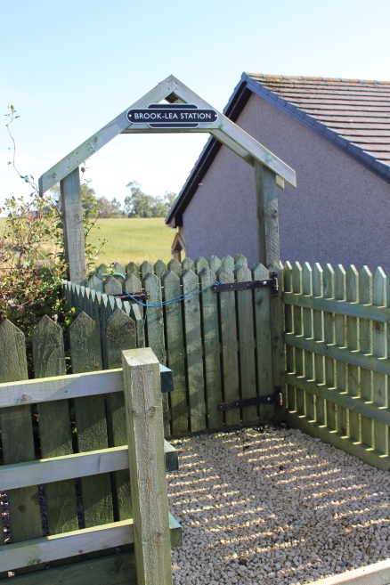
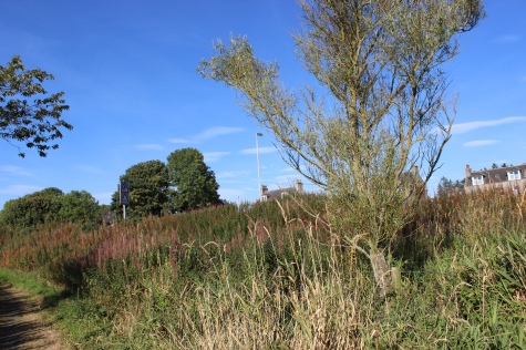
The
present house owner has given the spot his own personal station name.

This
spot looks as if a railway station may have been built here but I have
found no report saying that there was ever one.
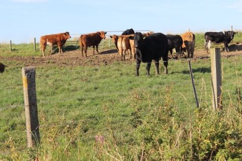
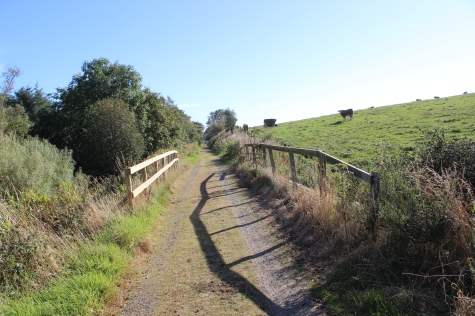
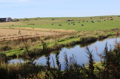
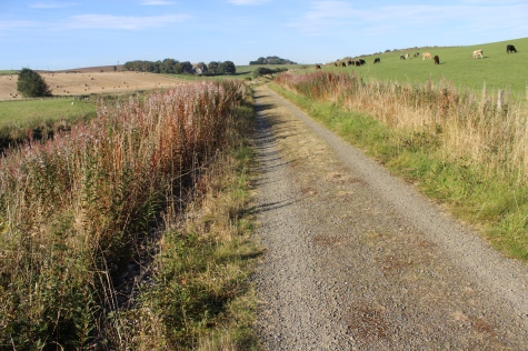
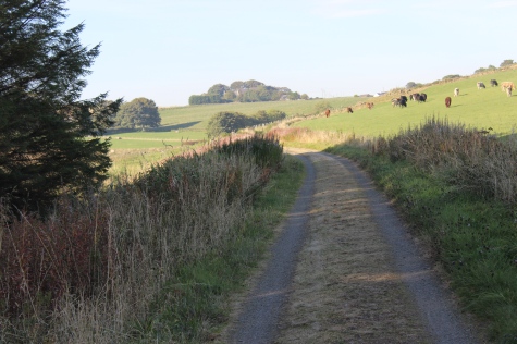
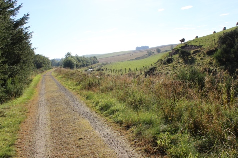
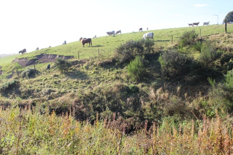
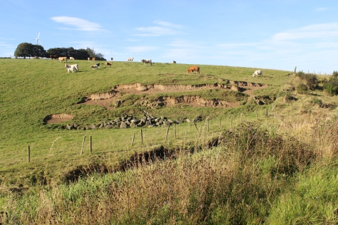
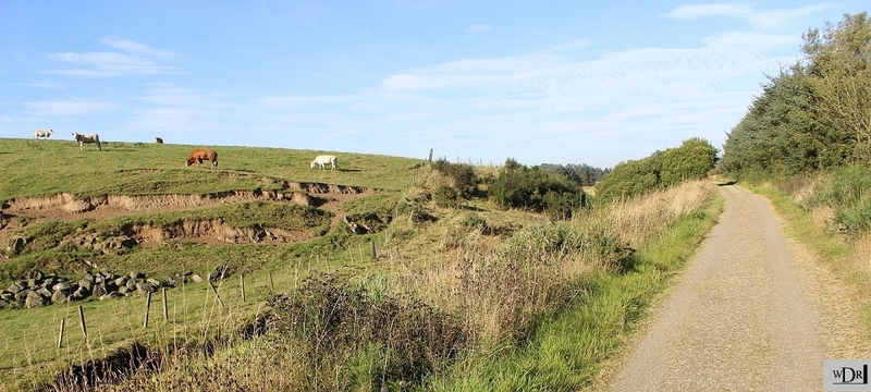
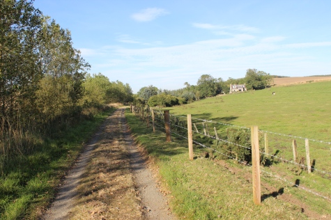
Left:
Cattle in the first to the west side of the track
bed.
Right: A wide view of the site, looking northwards.
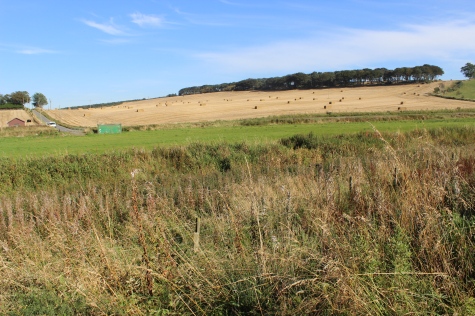
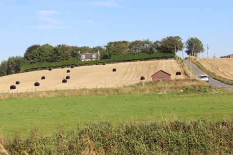
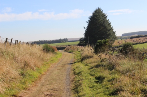
The
section from Auchnagatt to Arnage is certaily the most colourful and
interesting section over the whole route, in my opinion. So much to
see.
Bridge
over the Embrie Burn and where the Burn Of Fortree branches off to the
east.
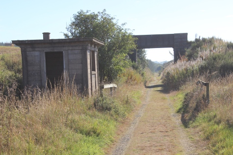
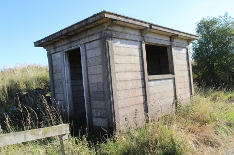
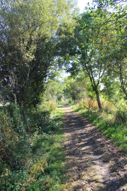
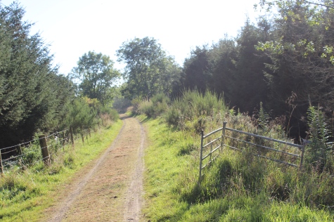
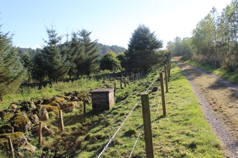
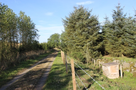
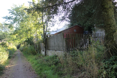
Approaching
an old Ganger's Hut and and a farm access over-bridge.
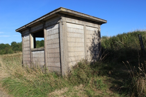
Hut, with track bed back towards
Auchnagatt.
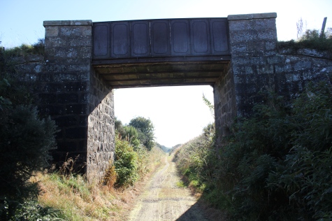
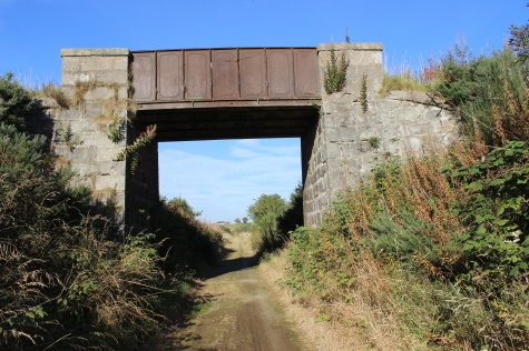
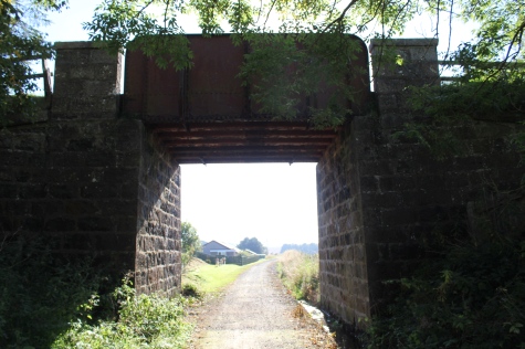
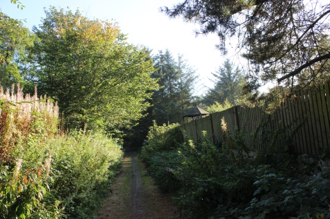
The
over bridge from the north side then from the south side.
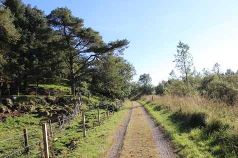
Left:
South side of the bridge, towards
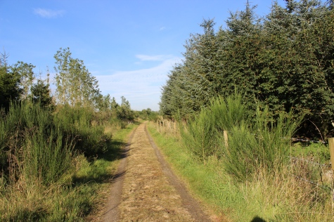
Auchangatt.
Right: Soutwards to a short, rocky cutting towards Arnage.
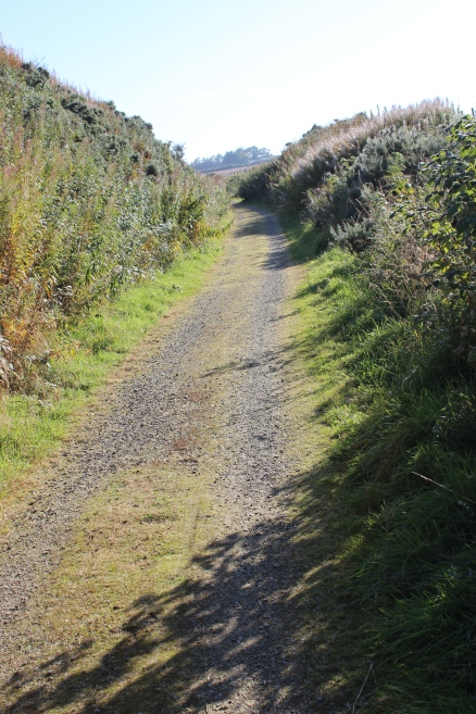
Left:
Within the rocky cutting, northwards towards the over
bridge.
Right: Southwards, through the short rock cutting.
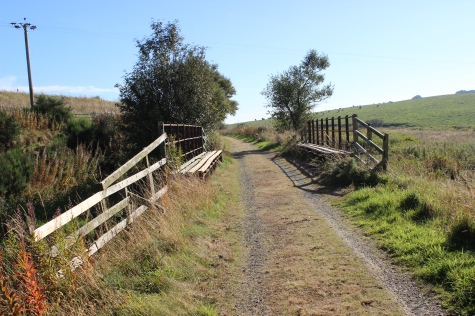
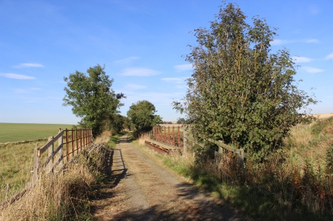
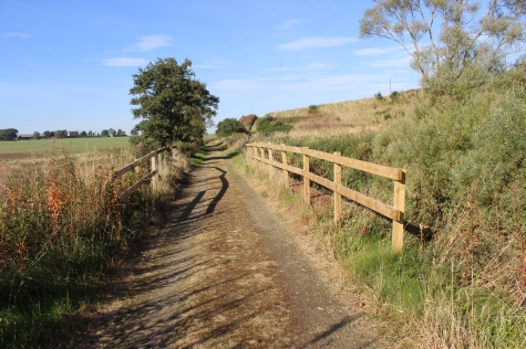
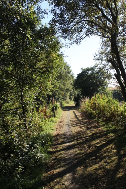
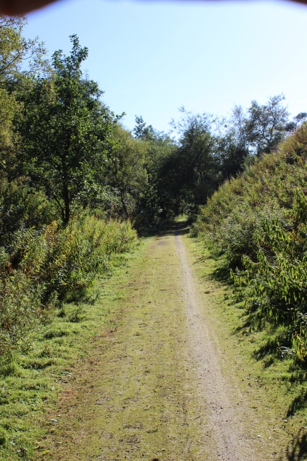
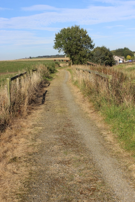
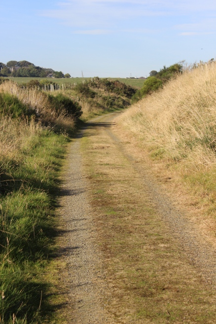
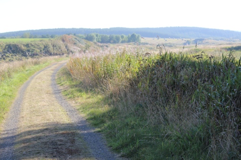
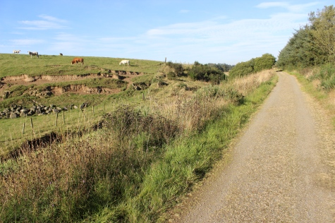
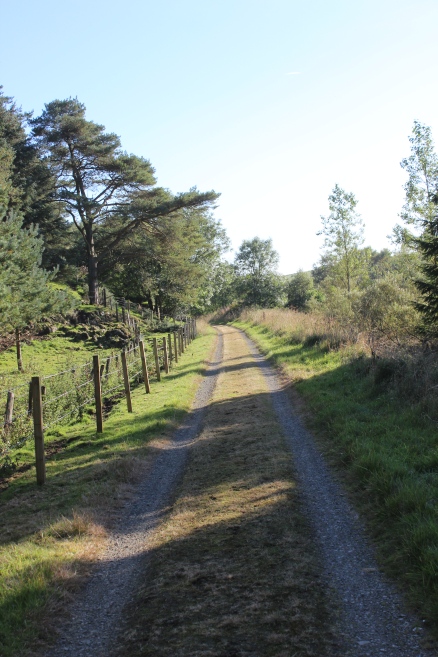
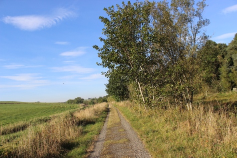
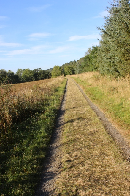
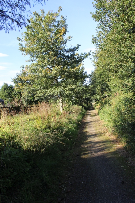
Left:
Back towards
Auchnagatt.
Right: Southwards towards Ellon.
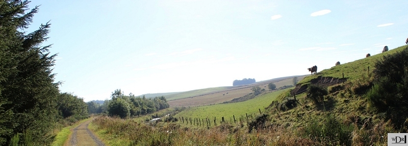
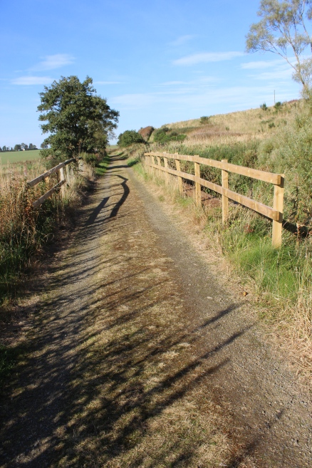
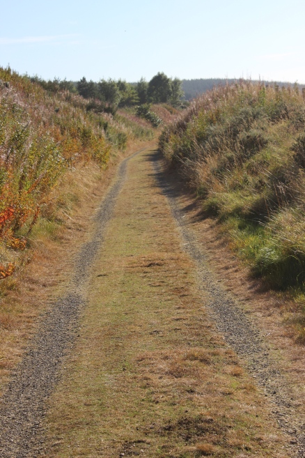
The
photo above right, cropped to give a wide screen effect.
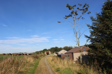
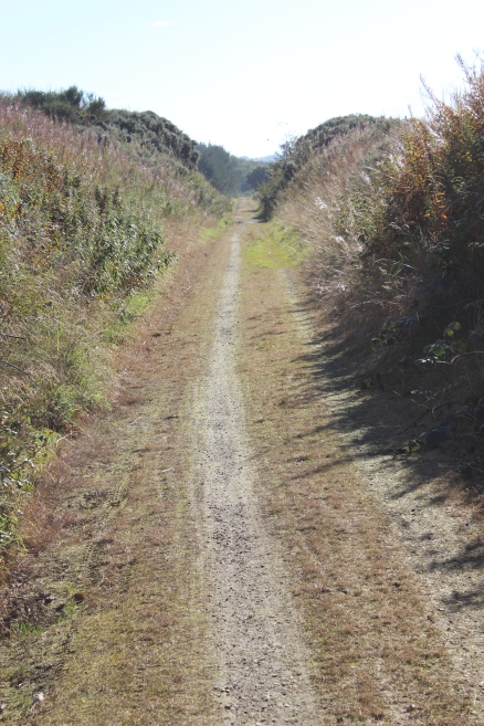
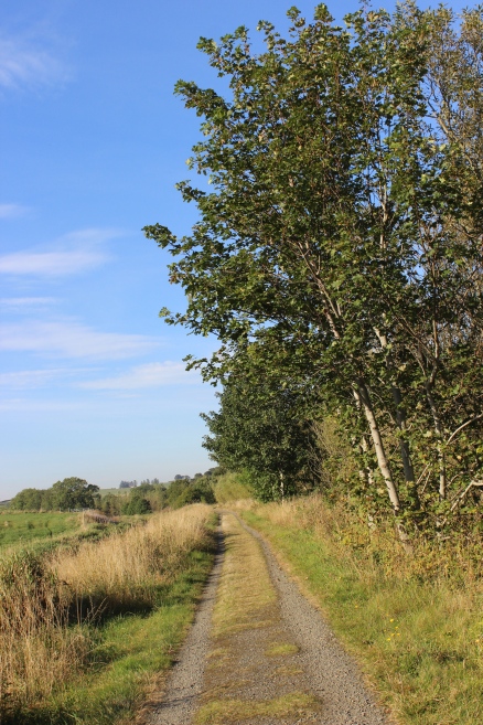
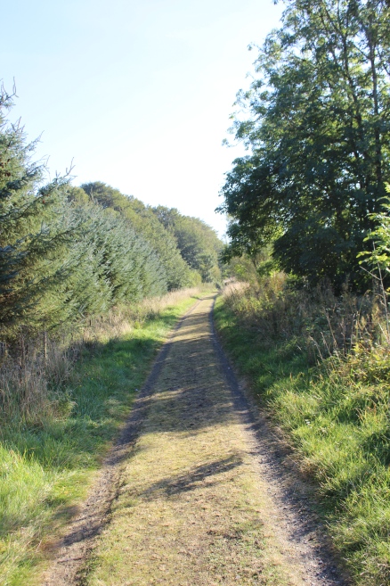
Southwards.
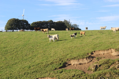
Cattle
on the west side of the track bed.
Photo
above left, cropped to give wide screen effect. Northwards.
Site
of abridge over a small burn. Northwards and southwards, respectfully.
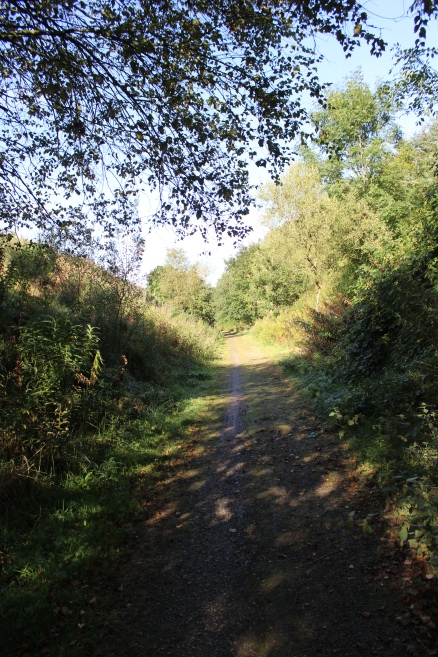
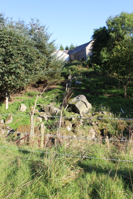
An
interesting rocky spot. Left: Northwards. Right: Southwards.
Ditto.
Both
photos, southwards towards Arnage.
Ditto.
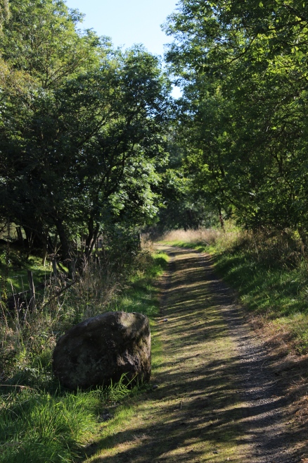
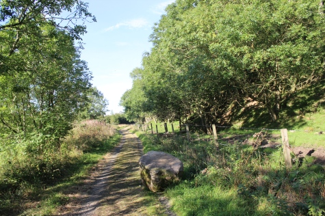
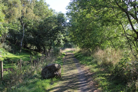
"Block's
on, Driver" Another large boulder, strangely finds it's way onto the
track bed!
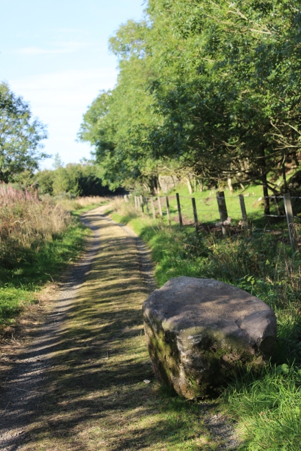
Left:
The boulder, looking
northwards.
Right: View southwards.
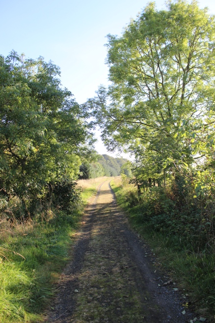
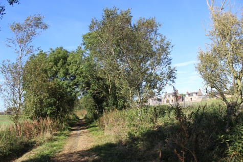
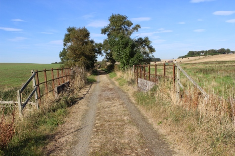
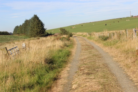
Left: Towards
Auchnagatt.
Right: Approaching Arnage station site.
ARNAGE STATION SITE
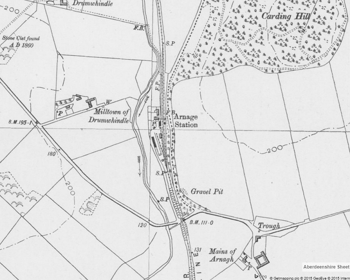
The
Goods siding was on the south 'Down' side of the station. The station
entrance was from the road just south of the
station.
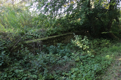
The over-bridge at Baemo has been demolished as seen in the photos
below. (NLS Maps).
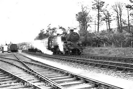
Left:
Train departing for Aberdeen in the 1959. (G. H.
Robin). Railscot
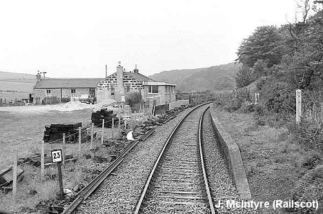
Photo.
Right: Towards Maud, in the 1974. (John
McIntyre). Railscot photo.
The
approach from the north is rather wooded and you suddenly find that
you are at Arnage station by short glimps' of the northern end of the
Down platform in the undergrowth.
Approaching
the station from the north.
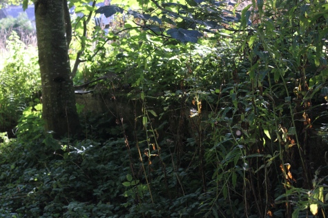
The
Up platform is just made out within the overgrowth at the north end.
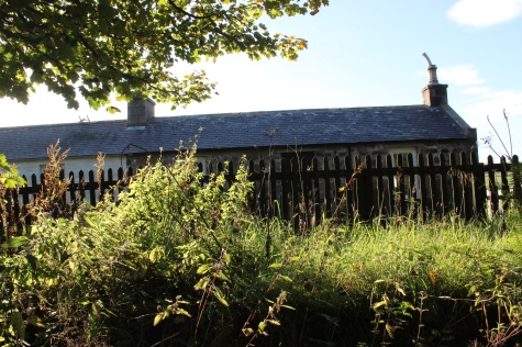
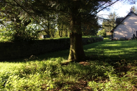
Arnage
station building. Now a private dwelling.

Looking
back northwards, the station fencing is still in place.
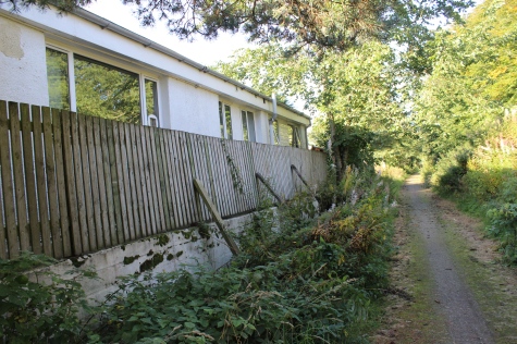
Extension
to the station building is right up to the edge of the Down platform.
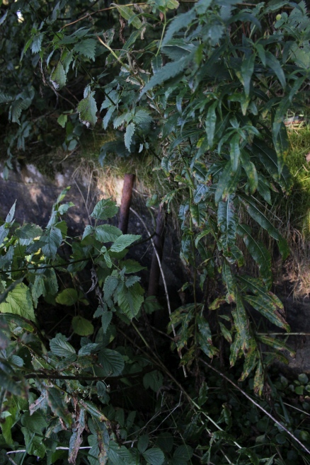
The
Up platform, hidden in the overgrowth.
Left:
South end of station, towards
Auchnagatt.
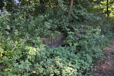
Right: The old Goods loading bay, seen through the trees, from the
down platform.
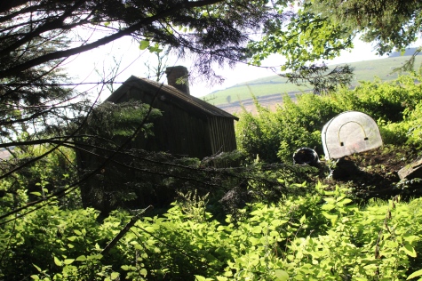
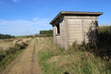
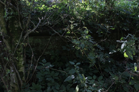
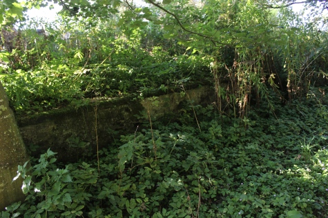
It
was a pleasant surprise to find the the loading bay platform and a
railway shed is still standing. You have to peek through a gap in the
overgrowth to see this and could
easily
pass by without noticing it there.
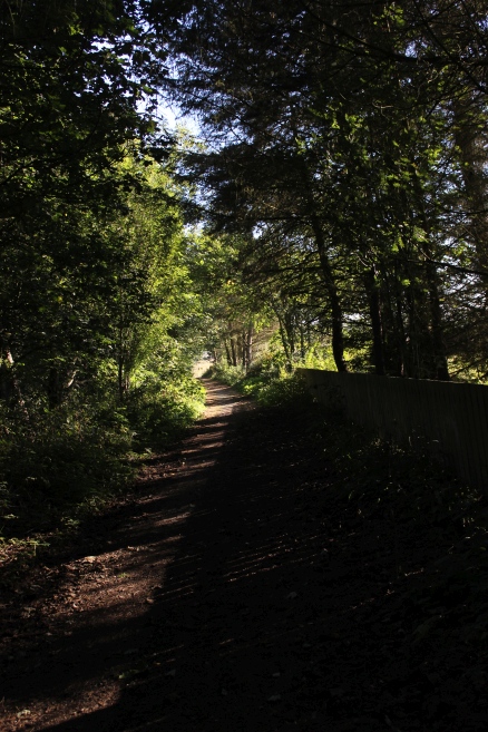
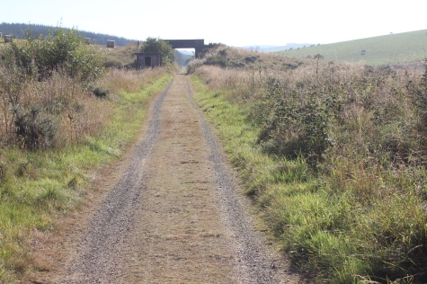
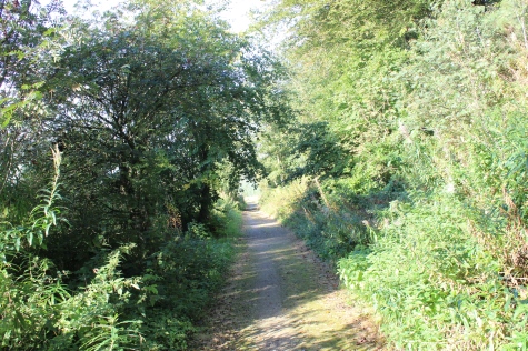
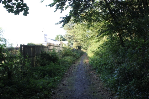
Looking
southwards from the station you notice the drop in the track bed where
the road
over bridge has been demolished and a path drops down to road level,
where you have to
cross
to get back onto the track bed again.
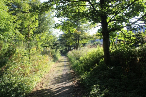
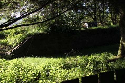
A
closer view, with the old station entrance road on the right. The
embankment beyond the road
bridge is seen curvring off to the south
and the top of the next over bridge is just noticeable
================================================================
Back To Index Back to Home Page
==================================================
Railscot: https://www.railscot.co.uk/ Excellent web site on Scotland's railways. Maps, photos and historical details.
OTHER RAILWAY WALKS and links.
Links: Kittybrewster Memories Ellon To Boddam Walks Dundee To Newtyle Incline Railway Walks Royal Deeside Railway Maud To Peterhead Cycle-Way High Peak Railway Trail Walks
This
page brought to you by:
VintageHammond.Com - We Buy-Sell-Trade Vintage Hammond
Organs and Roll or Kari Organ/Vending Machine Moving Dollies Order Roll or Kari Dollies Here