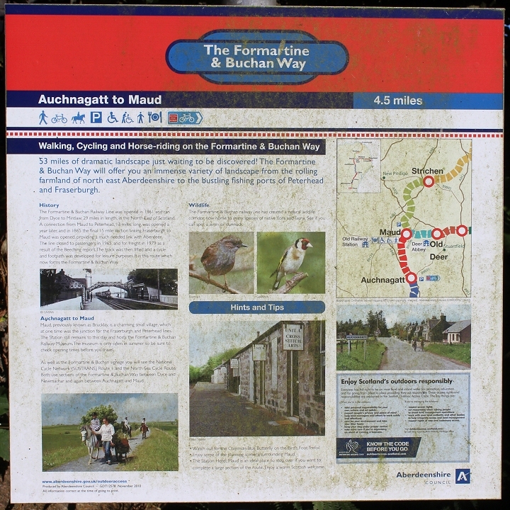
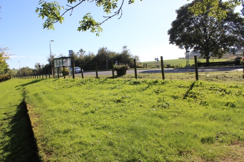
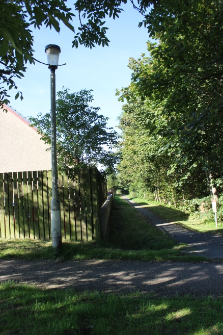
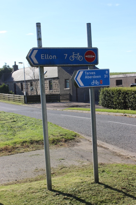
Information board at Auchnagatt.
STRICHEN TO ELLON WALK
(29th Sept 2015)
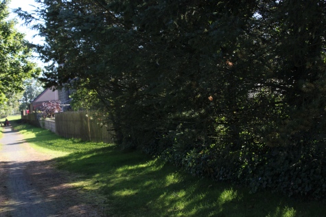
MAUD JUNCTION TO AUCHNAGATT
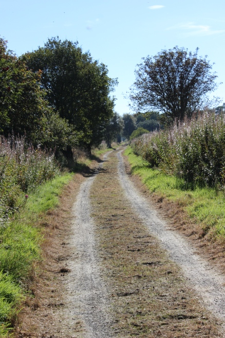
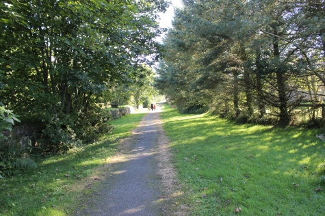
After a short rest at Maud station site for refreshment I started the walk southwards for the next stage at Auchnagatt. I remember this station quite
well as it was well used and the evening train to Fraserburgh saw a number of commuters from Aberdeen getting off, some of whom were railway
administration staff. It was a colourful station set by the main road. The branch wasn't run as a commuter service and some of these staff mus have
had quite a long day. Timings were poor and speeds very slow.
The bridge over the Ugie, from the New Pitsigo to Maud road. Maud to the left.
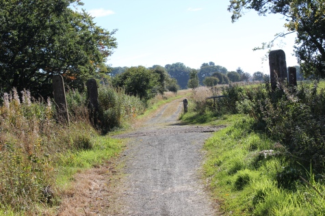
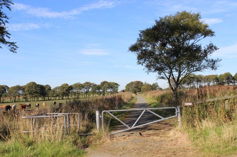
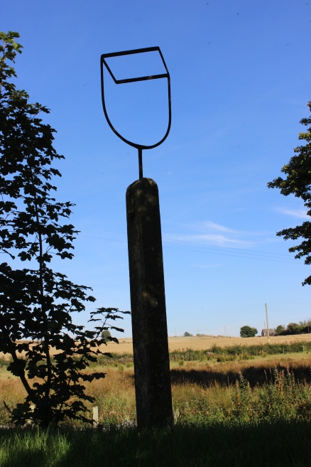
Information
board at Auchnagatt.
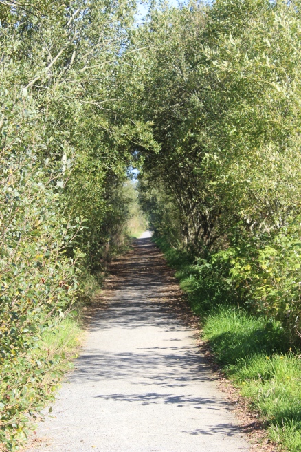
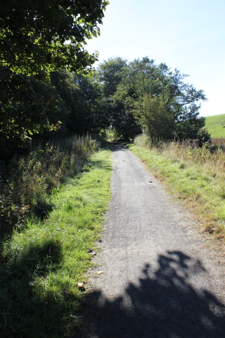
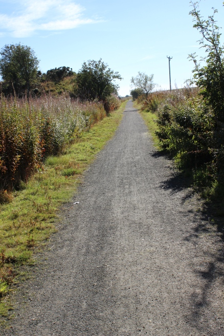
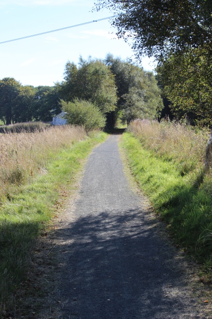
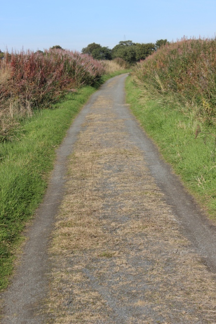
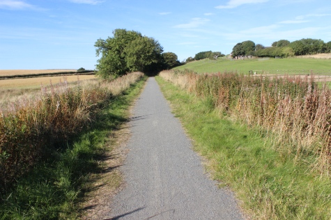
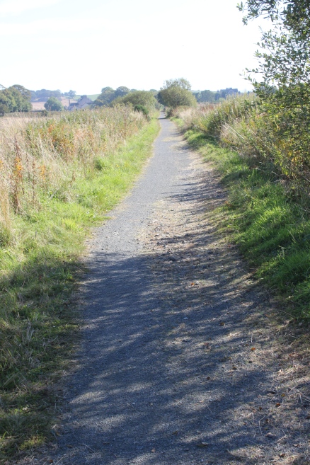
Four
& A Half Miles to Auchnagatt! Oh well, better get on with it.
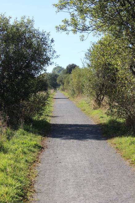
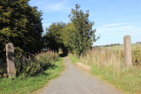
Left:
Back towards
Maud.
Right: Southwards towards Auchnagatt.
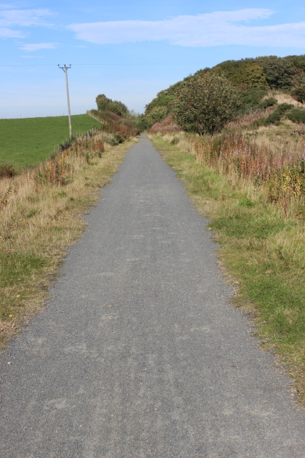
Right:
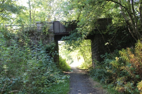
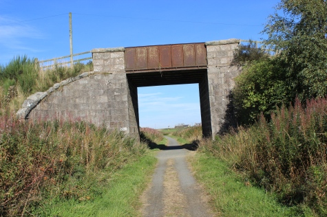
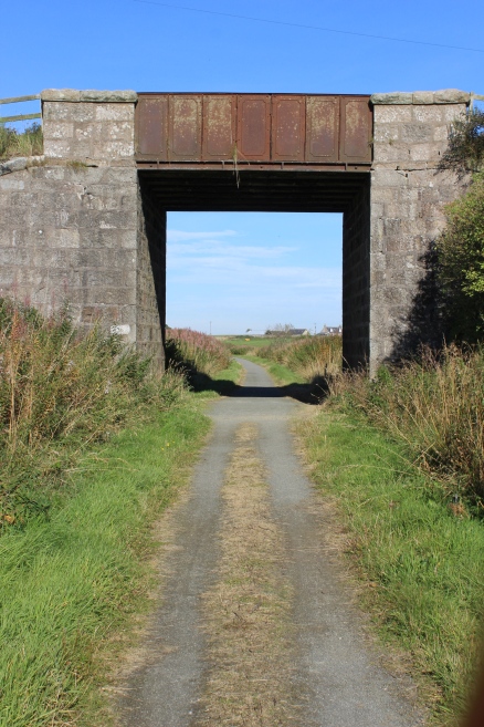
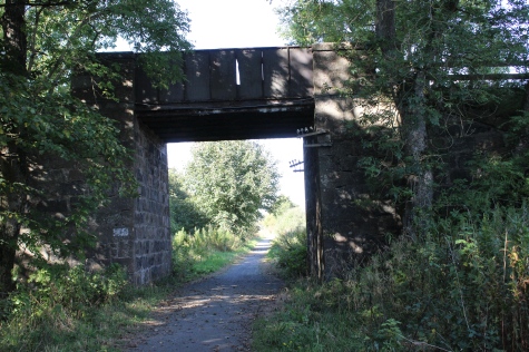
Road bridge near Gilkhorn Farm
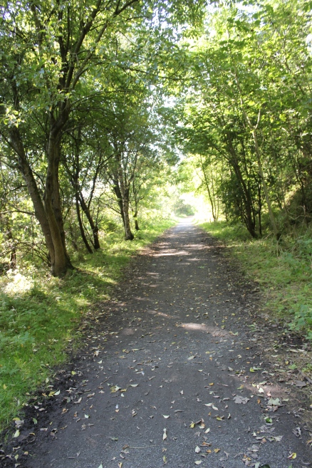
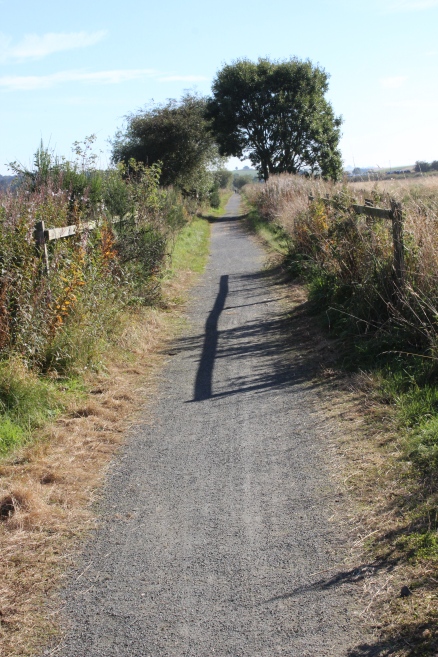
This
runs through the area known as The Den Of Old Maud.
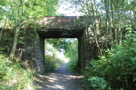
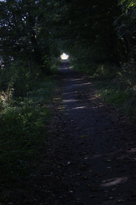
Through
a short cutting.
Over
bridge between Drymoor and Bulwark Moss. Left: Southwards. Right:
Northward.
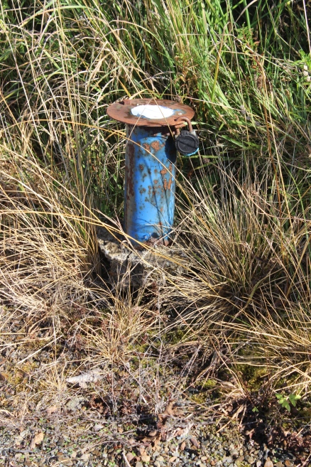
Right:
Probably a temperature recording gadget.
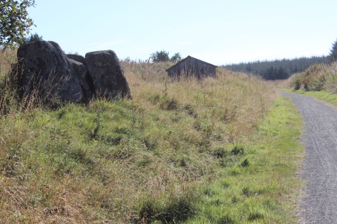
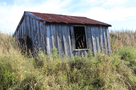
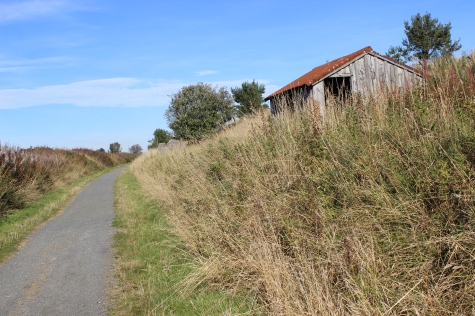
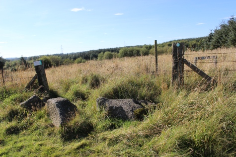
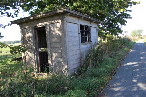
Left:
Rocks and Ganger's Hut
(Northwards).
Right: Rock (Southward).
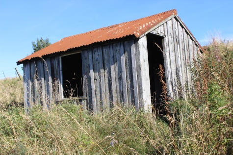
Left:
Ganger' Hut
(Northward).
Right: Ex farm crossing.
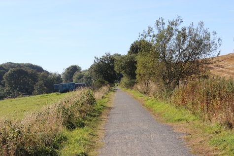
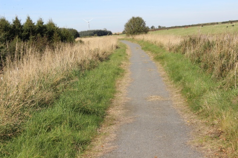
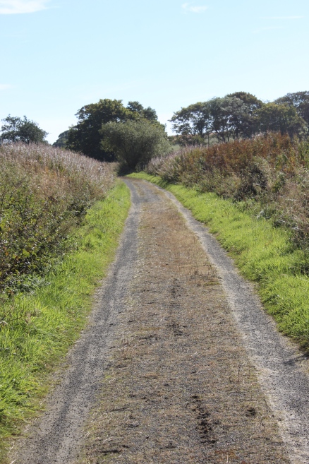
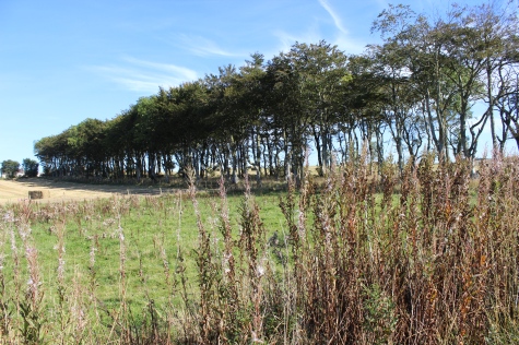
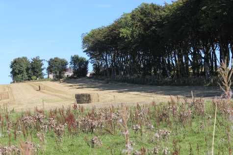
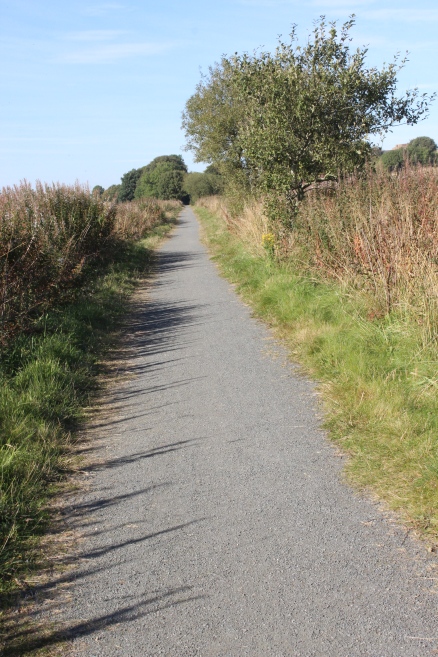
Left:
Looking south towards
Auchnagatt. Right: A
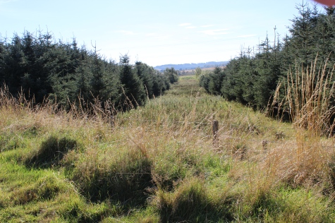
clearing between tree planting. Looks as if it could have been an old
branch line track bed.
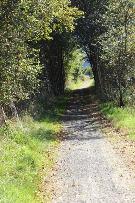
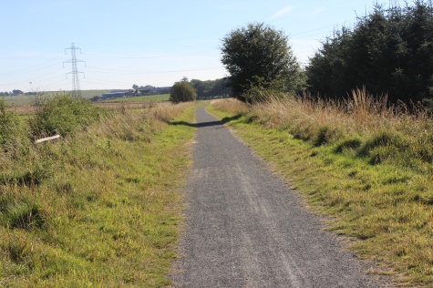
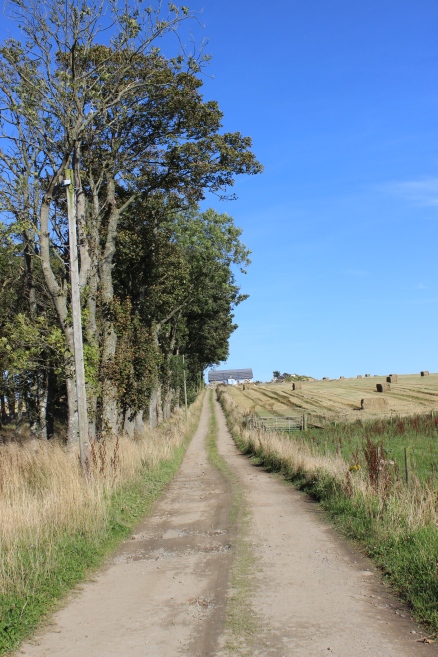
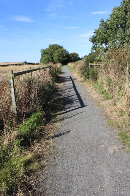
Towards
a short avenue of trees. Left: 18mm Wide
View.
Right: 55mm view from same spot.
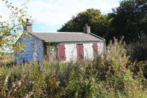
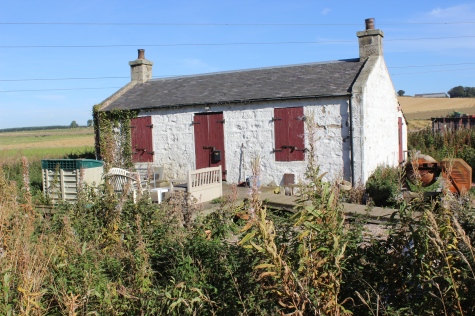
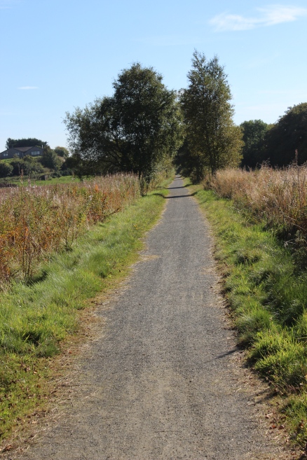
Ex Crossing Keeper's House
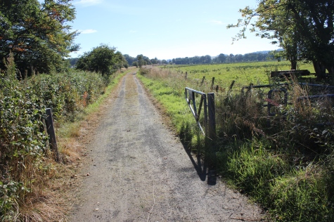
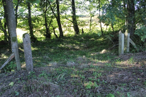
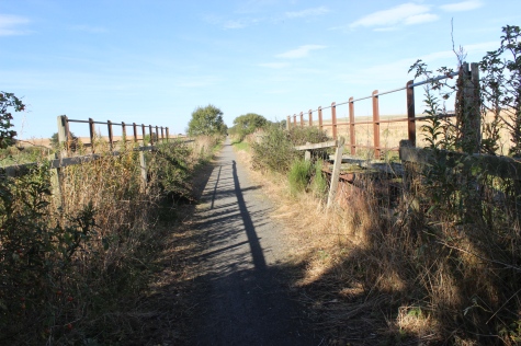
Left:
A farm access level crossing. Left: Towards
Ellon.
Right: Towards Auchnagatt.
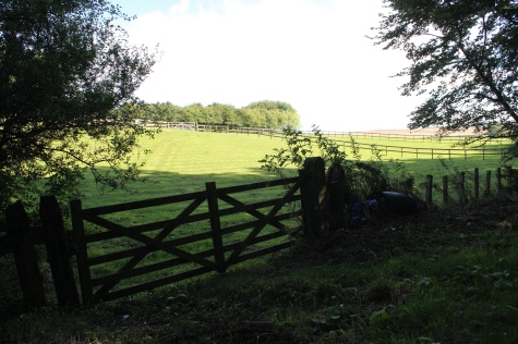
Right:
Possibly part of the farm at North Greenbrae
Up
and Down views, respectfully.
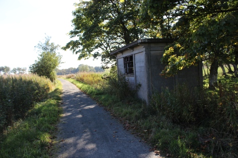
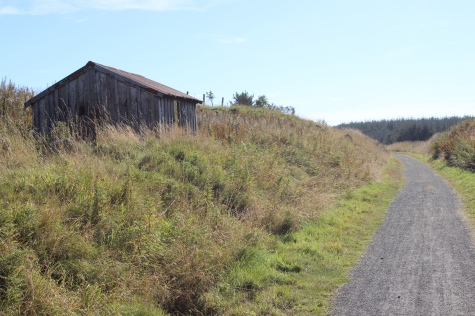
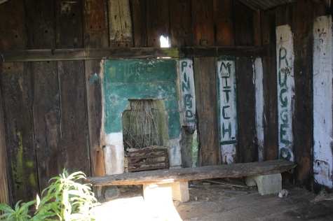
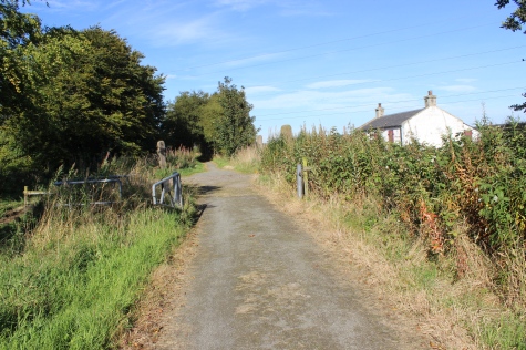
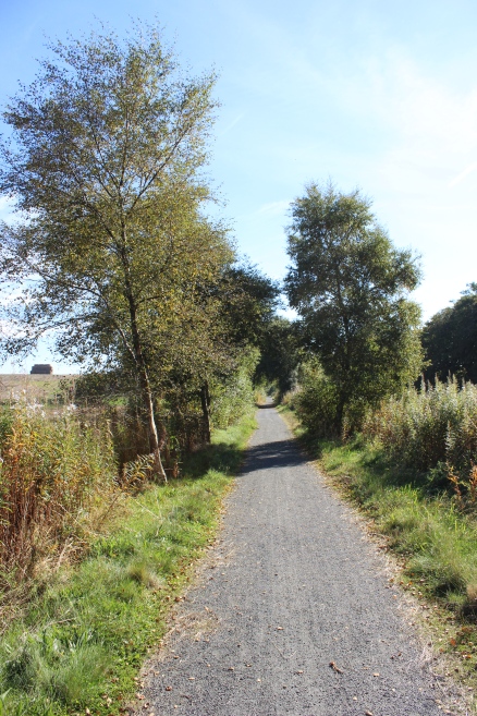
Another
Ganger's Hut. Left: Towards
Ellon.
Right: Towards Auchnagatt.
The
Ex level crossing for access to South Greenbrae Farm.
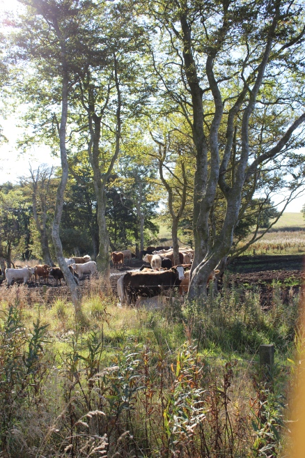
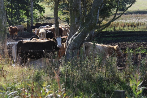
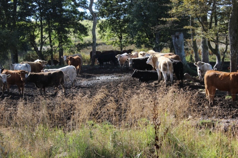
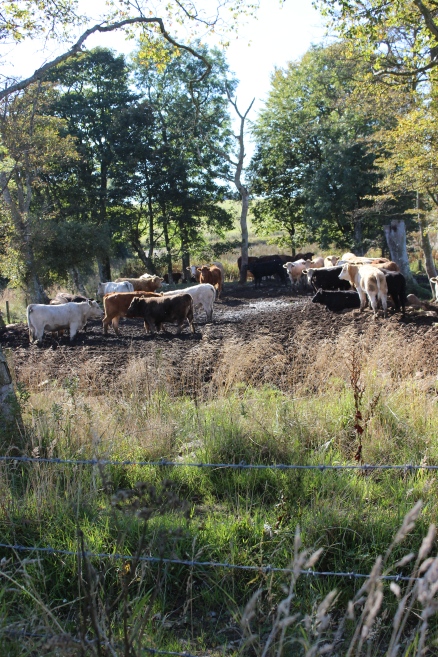
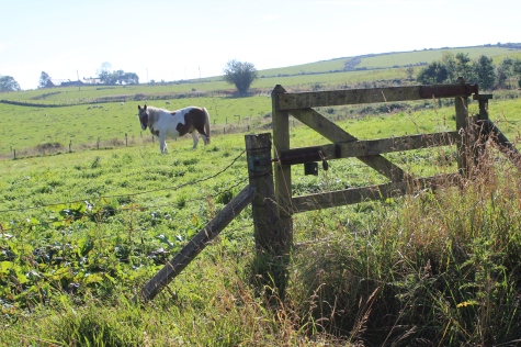
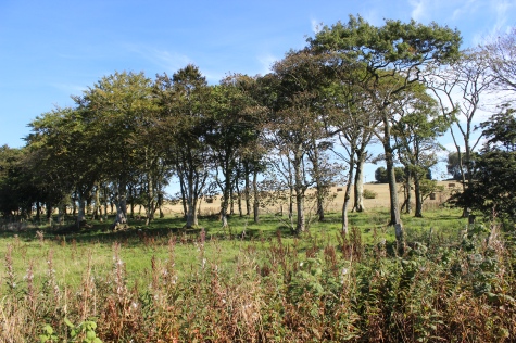
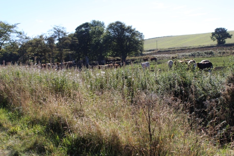
Cattle
enjoying the shade from the warm sunlight.
Left:
The farm track from the evel crossing, running up to South Greenbrae
Farm, on the Up side of the track bed.
Right;
Looking southwards from the farm crossing.

Left:
Northwards from the south side of the
crossing.
Right: Southwards from the level crossing.
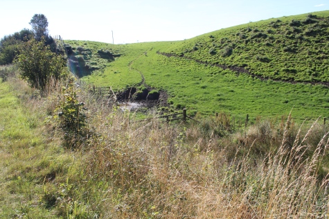
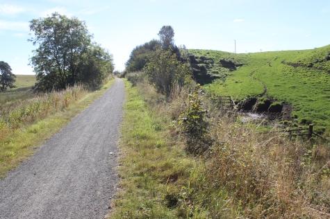
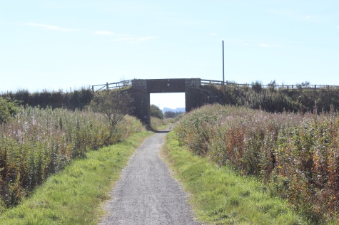
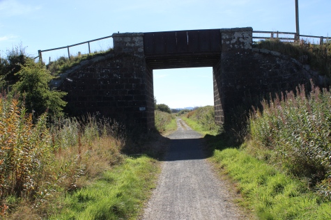
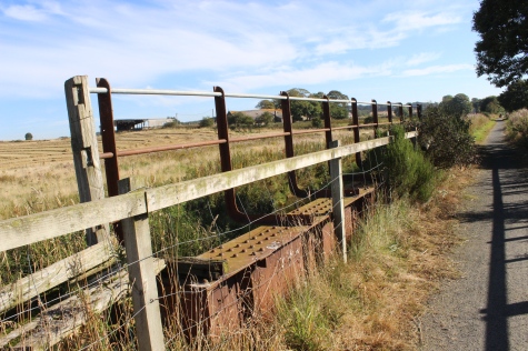
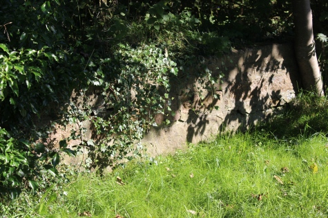
Over
bridge by the quarrie at Cairncummar.
Another
farm access crossing.
Looking
northwards.
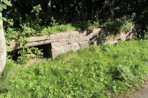
Bridge
over the Burn. Left: Towards
Ellon.
Right: Towards Auchnagatt.
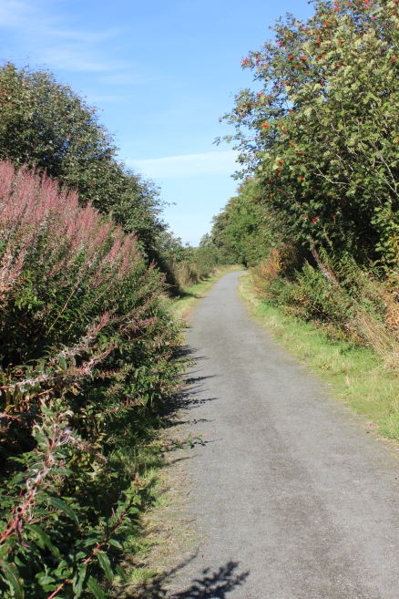
Ditto
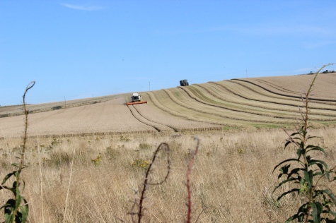
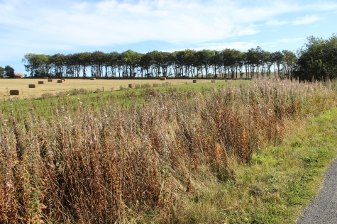
Left:
harvesting on th east side of the track
bed.
Right: Southwards.

Bridge
over the Ebrie Burn to the north of Auchnagatt.
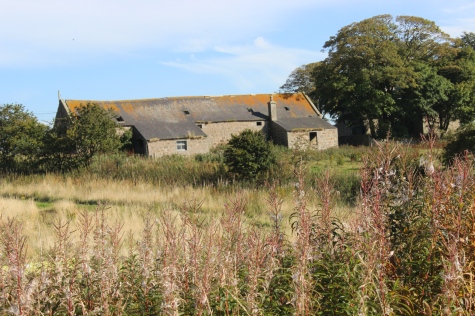
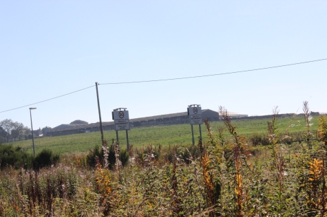
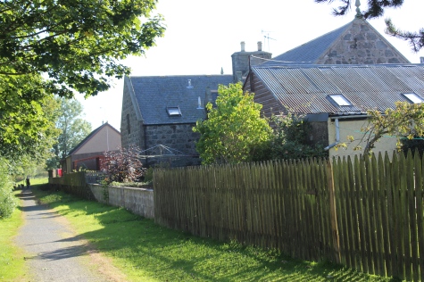
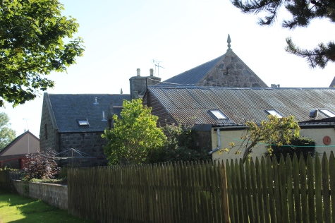
Little
Annochie Farm
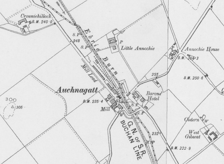
Auchnagatt
Station Layout. A two platform station, with a Goods Yard at the north
end and west side of the station.
(NLS
Maps).
Left:
Looking across what was the Goods Yard, with the village boundary
posts on the main road.
Right:
First signs of the station platforms. Up platform on the left.
Left
Ex Station Name board Posts. On the Up
platform.
Right: Station buildings, north end of Station platform.
Left:
Southwards along the Down platform. Right: The Up Platform.
The
Down platform with the station building in the middle. See below.
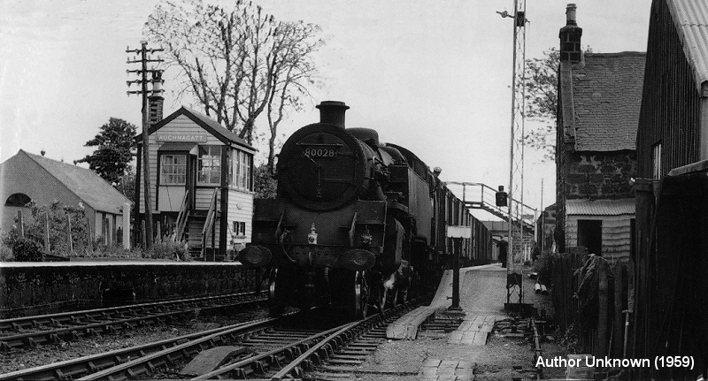
1959
North end of the station, looking southwards. A Fish train for
Peterhead waits for the signal on the Down platform. In the
background
is the bridge over the main road, that has been demolished. The points
going off in front of the loco goes into the
Goods
Yard. Close to photos above.
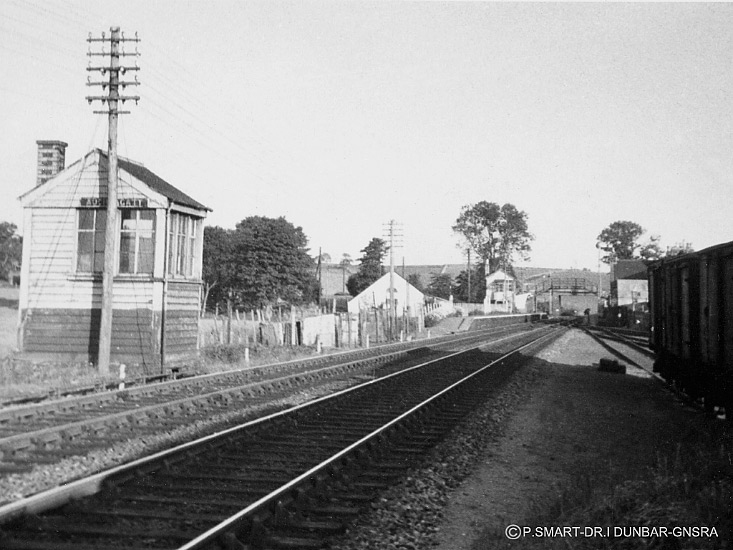
From
south end of the station, showing the Goods Sidings on the right.
There may have been two signal boxes here
or
it may be the old box on the left was the original one and had not yet
been demolished. GNSRS Photo).
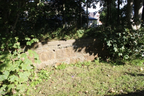
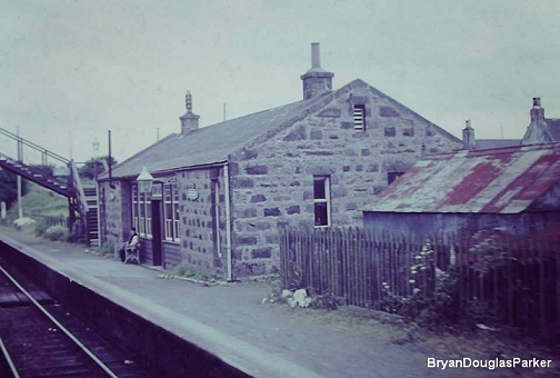
Concrete
station platform lamp posts, remains. Up platform.
From
the same spot. Left, fencing at where the Goods Yard
was.
Right: The Up Platform.
Left:
Modern building on the south end of the Down
Platform..
Right: platform Ramp. North end of the Up platform.
Left:
The cut out on the Up platform that contained the angle joints for the
signal wires. Right: Towards Strichen.
Left:
The Down platform and station
building.
Right: The Down platform towards Ellon.
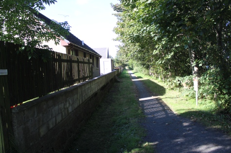
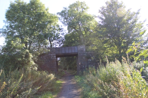
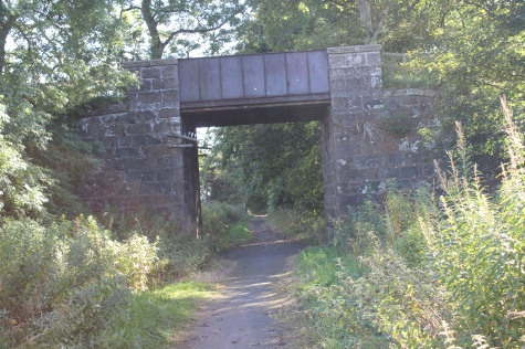
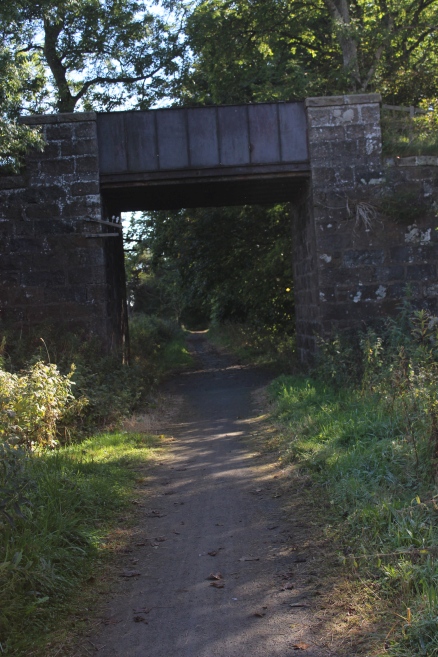
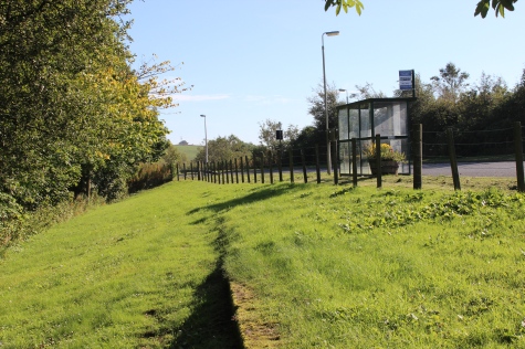
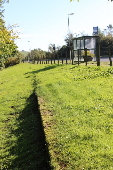
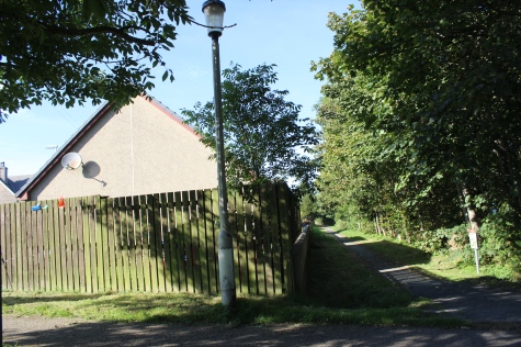
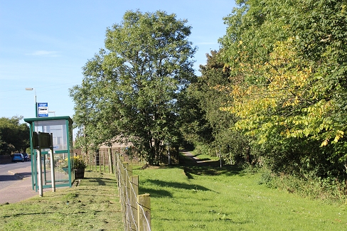
Left:
Southern ramp of the Down station platform. Just ahead the line came
in below the now demolished road bride. The bus stop is for the two
services a day from Ellon.
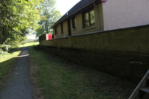
Right:
Home built right up to the edge of the Down Platform. The Up platform
is hidden in the trees to the right.
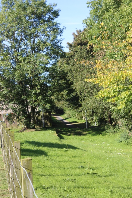
Left:
From the north end of the Down platform, with the marked entrance to
continue southwards on the track bed. This is due to the bridge having
been demolished and the
road
leveled. Right: The low platform became a comfortable seat
while I took a 10-15 minute break for some refreshments and
enjoyed the afternoon sunshine. This was
where the Footbridge Stood.
Taken
where I was sitting at the south end of the Down platform, looking
northwards through the old station site.
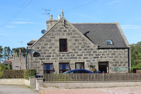
Auchnagatt
Station House. The lower level had been a grocery shop during the
railway's
time.
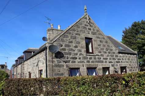
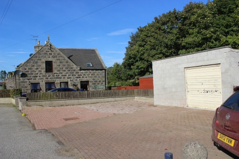
Left:
The station House. Right: A wide view of the station building and the
ground that was an allotment once stood. Today it is stone covered,
with a rather bleak-looking
garage
buit on the spot. The shop has been converted as part of the
building. See below.
Close
to the photo above right. Possibly that last train. The station
building is already demolished. The trees on the right
have
matured a bit since then! An interesting comparison in that there was
an allotment that has now been stone
covered,
that won't soak up the rain water any more! Ah, such is progress! (D.
Flett-GNSRA Photo).
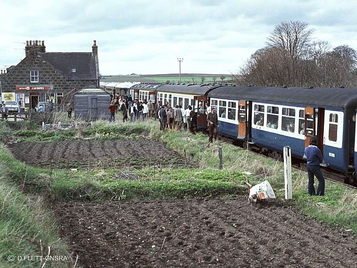
Left:
From close to the photo above right. A train just departing
northwards for Fraserburgh and Peterhead. (Video film screen
grab).
Right:
The down station platform with the footbridge behind and the over
bridge is just seen behind that and a passenger waiting for a train.

Where
the railway dropped below the road over-bridge.
The south end of the station, with the edge of the Down platform still
showing.
From
approximately where the old over bridge stood.
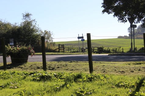
Left:
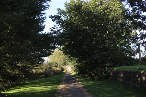
The direction board to enter back onto the track bed and southwards.
Right: The entrance onto the south side track bed. This is a new
path. The track bed ran
below
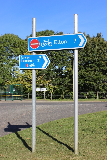
the road to the left, where the over bridge has been demolished. Only
7 more miles to do!
===============================================================
Video
Screen grabs from the The
Railways Of Scotland Volume 4 "Aberdeen and the Grampians".
An excellent video available on DVD, from
Cinerail at:
http://www.cinerail.com/
There
are many great archive scenes
of almost every Scottish route you can think of. Well worth a look.
Railscot: https://www.railscot.co.uk/ Excellent web site on Scotland's railways. Maps, photos and historical details.
================================================================
Back To Index Back to Home Page
This page brought to you by:
VintageHammond.Com - We Buy-Sell-Trade Vintage Hammond
Organs and Roll or Kari Organ/Vending Machine Moving Dollies Order Roll or Kari Dollies Here