ack To Index
MAUD TO PETERHEAD WALK
(19th Sept 2015)
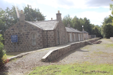
MAUD TO MINTLAW
This was planned to be a one-way walk but when reaching Mintlaw and checking the timetable at the bus stop I found that there was no bus service too and from Maud on
a Saturday and Sunday. I had no choice but to accept that it was going to be a two-way walk. However, a round trip of approx. 10 miles wasn't so bad and thankfully the
weather remained fine too, albeit, it got a bit dull during the latter part of the walk. For simplicity I have set the photos out as if it had been a single walk from Maud to
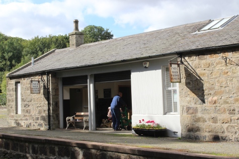
Mintlaw. As I visited Maud twice, for this section I have only used photos of Maud concentrating mainly on the Peterhead side of the station. It was also nice to find
the Railway Museum open, albeit on the point of closing but appreciate that one of the staff remained to show me aroud for a good 10-15 minutes or so.
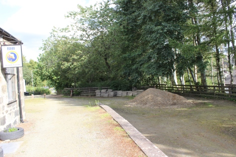
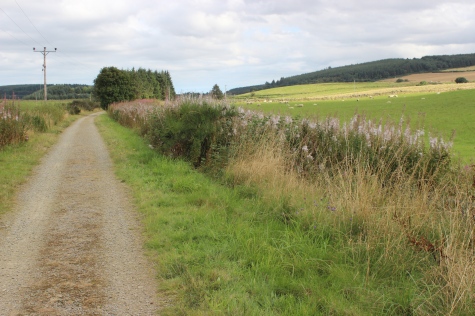
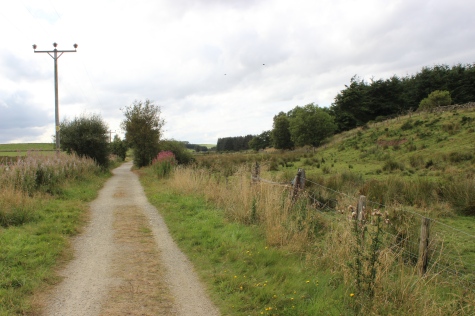
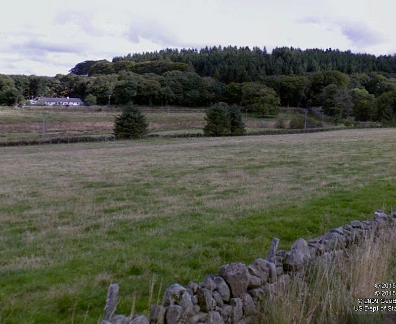
The south end and Fraserburgh platforms appear in my Strichen to Ellon section.There is very little of interest over this section but it does go though a pleasant valley with farmland and rolling hills.
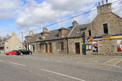
The station was originally called New Deer. The Peterhead branch was the first to open and was known as the
mainline, however once the Fraserbugh branch was opened the roles were reversed. The Good Yard was very
busy, paticularly with Farm animals and produce. The junction was also very busy with Fish trains from both
terminals. At it's height there were up to 18 Fish trains a day, using up the maximum signal block spacing.
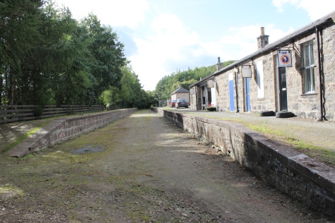
Maud Station. Both: The Up
Fraserburgh platform, towards Dyce.
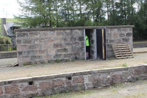
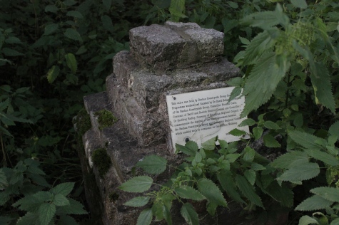
This
section of track is awaiting the arival of the preserved Stirling
Quarry prisoner's
coach,
where it will be put on permanat display. The Prison railway ran from
Strling
Quarry
in Boddam to the Admilitary Peir at Peterhead and was competely worked
by
prisoners
who were transported too and from Peterhead Prison with their own
trains.
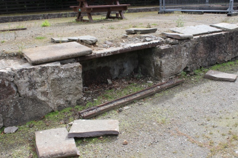
South
end of the island platform that consisted of the Up Fraserburgh and
Down Peterhead platforms.
The
Down Fraserburgh platforms, seen right, was seldom used by passenger
trains.
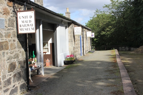
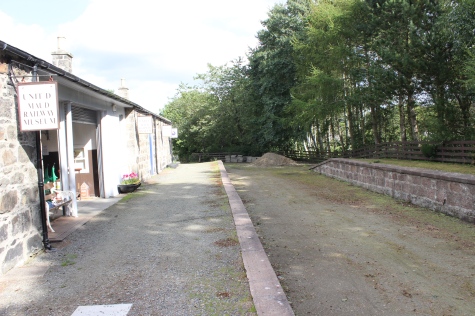
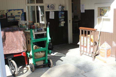
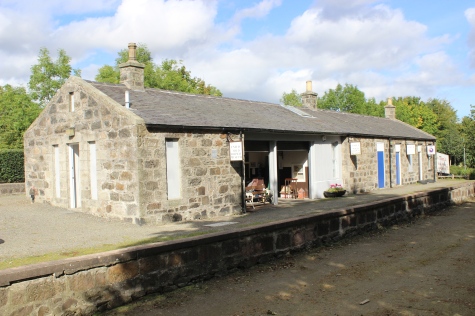
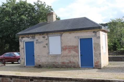
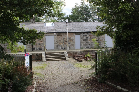
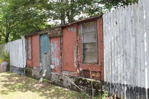
The
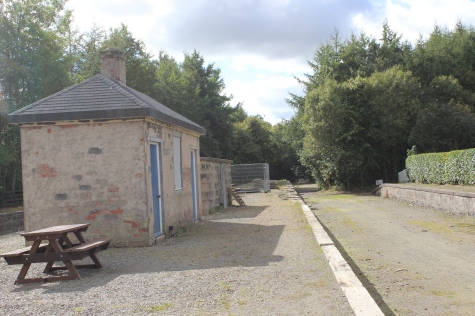
Peterhead platform (North end). The Booking office and waiting rooms
is now a small railway museum. Other are small industrial units. The
room at the far end had been
the
station Buffet.
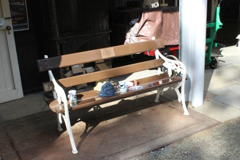
It's
quite a small museum but very interesting and interest should build up
when the Prison Van arrives and is on display. Just a pity that the
local bus service is so minimal.
One
bus a day and nothing ona Saturday and Sunday is very poor. If the tis
to omitted from any reopening to Peterhead and Fraserburgh it doesn't
auger well for the
success
of the museum. It could be that they should try getting some track
laid between Maud and Mintlaw to attract as many customers as
possible. No point going south
to
Auchnagatt as their bus services is just as bad as Maud's.
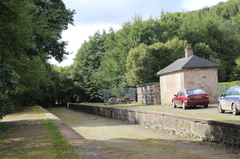
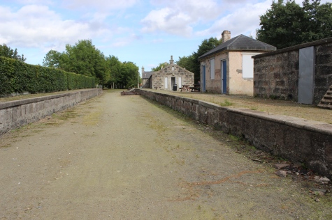
The
Up & Down platforms looking towards Peterhead. The track bed
stops at the far end, where the
over bridge has been demolished. This
view is close to the 1950's photo below.

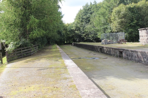
About
the same paralell level as photo above but from the footbridge on
the Up Platform. A Fish train arrives from
Peterhead,
heading for Aberdeen. (GNSRA Photo).

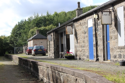
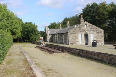
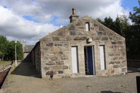
The
main buildings on the island platform, showing the two Fraserburgh
platforms.
Interesting
solid buildings on the island platform. Still used by the Museum
staff.
Left:
The entrance onto the Down Fraserburgh platform, once a wooden
crossing for railway staff, now steps on to the platform. The Down
platform
seldom
used by passenger trains meant that passengers had to cross the
Footbridge, with their luggage whether coming or going.
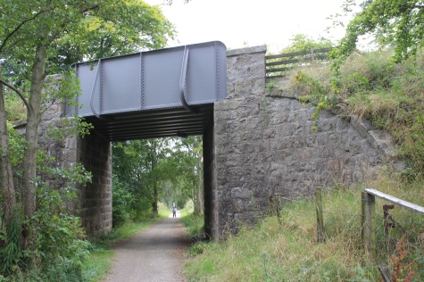
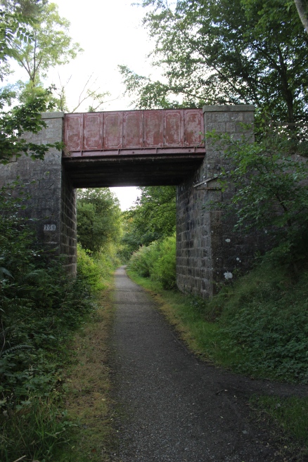
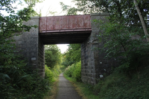
The
overbridge at the north end of the Fraserburgh line. N.B.The old
Pll Box on the right. This is also the local bus stop, with it's
fantastic two buses a day!
Old
GNSR goods van that was converted into an office for the Esso Fuel
Supply Depot that was situated in the V between the two Branches at
the north end
of
Maud Station.
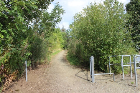
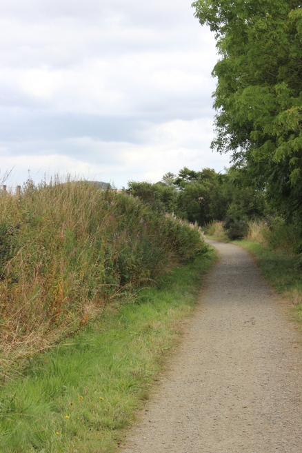
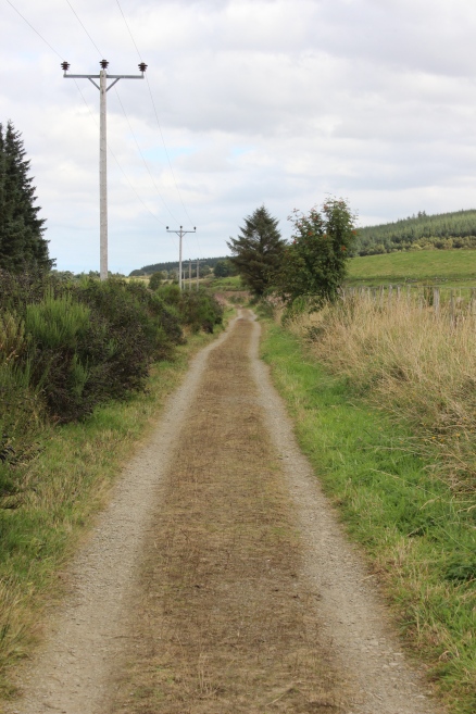
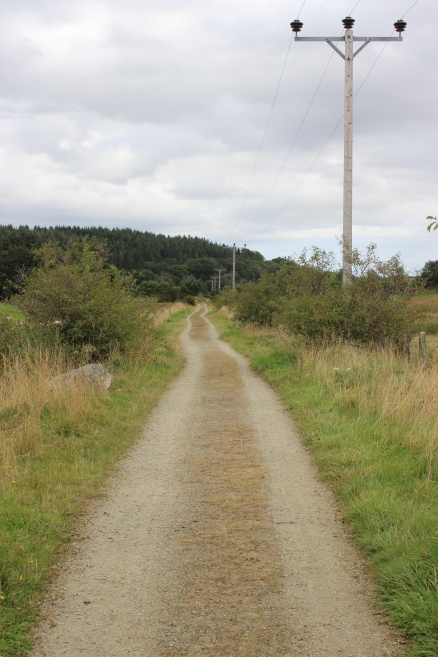
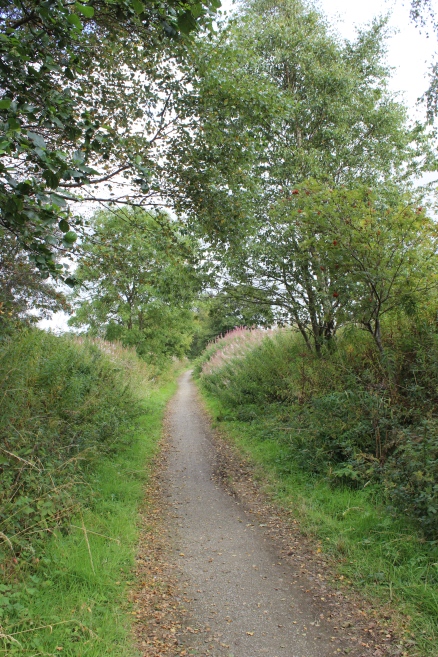
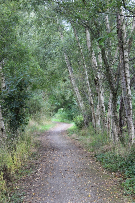
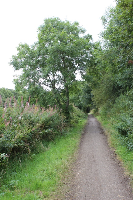
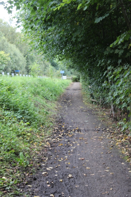
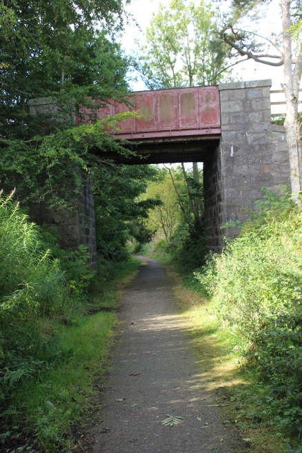
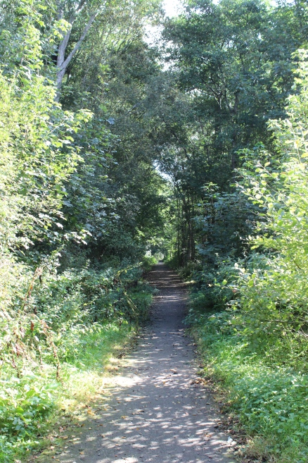
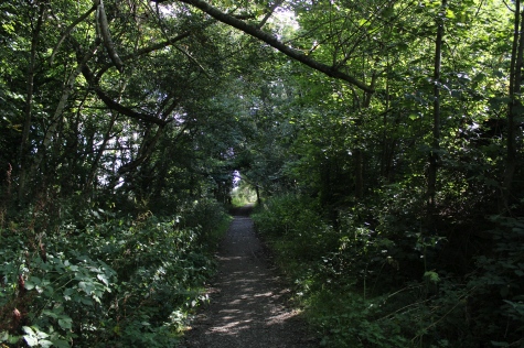
The
start of the north side of the track bed and on to Mintlaw.
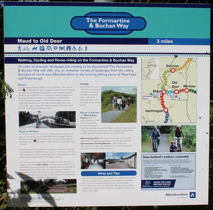
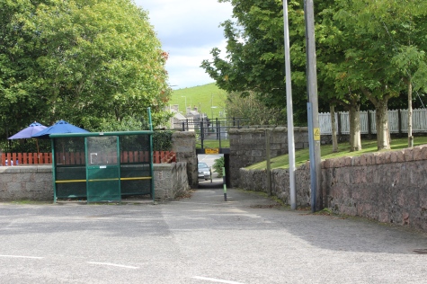
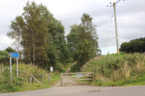
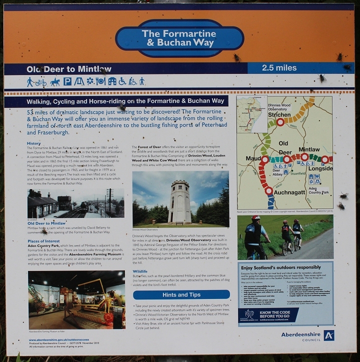
Infrmation
board at Maud, showing the complete 53 mile walk.
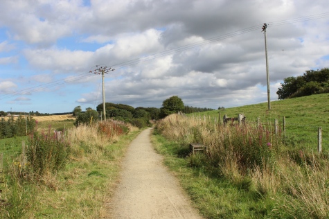
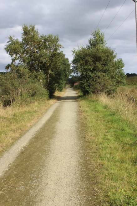
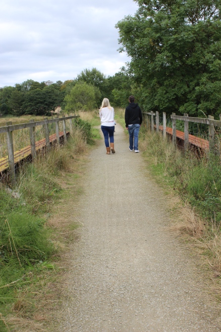
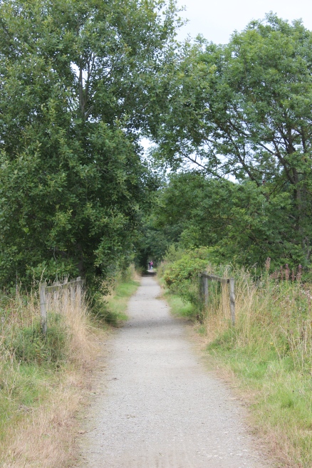
The
start of the three mile walk to Mintlaw.
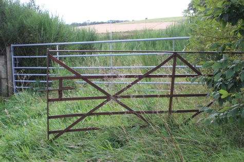
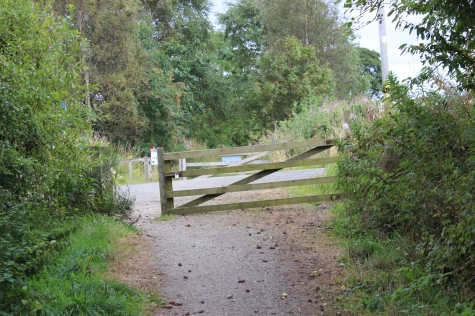
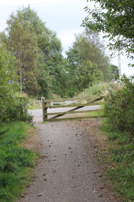
An
access level crossing just to the north of the station.
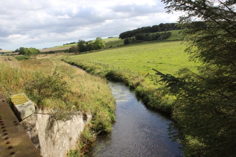
The
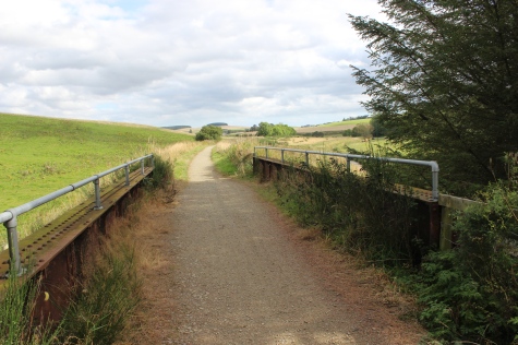
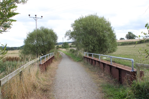
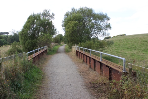
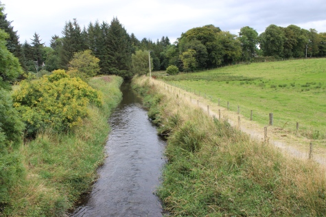
bridge over the South Ugie Water (Burn).
Left:
Pastrol scene with the South Ugie Water running through the middle.
The Mintlaw road runs across the seen just above the Burn.
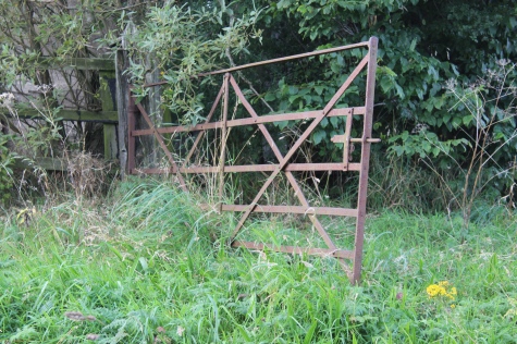
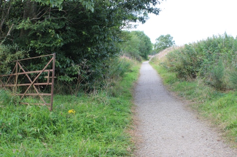
Ex
farm level crossing.
Bridge
over a small contributory to the South Ugie Water (Burn).
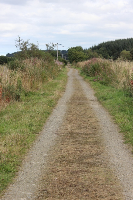
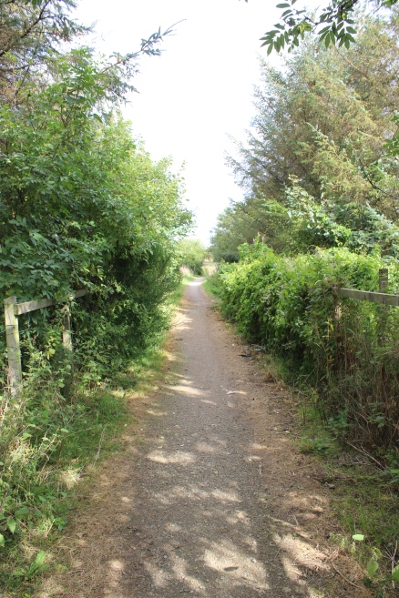
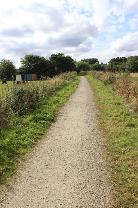
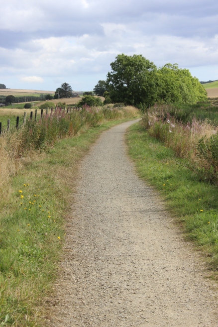
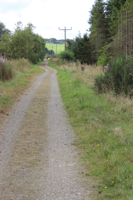
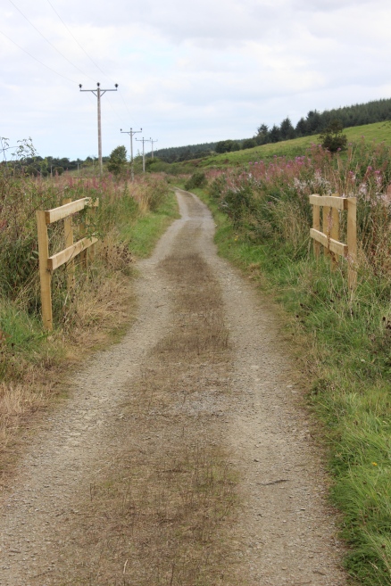
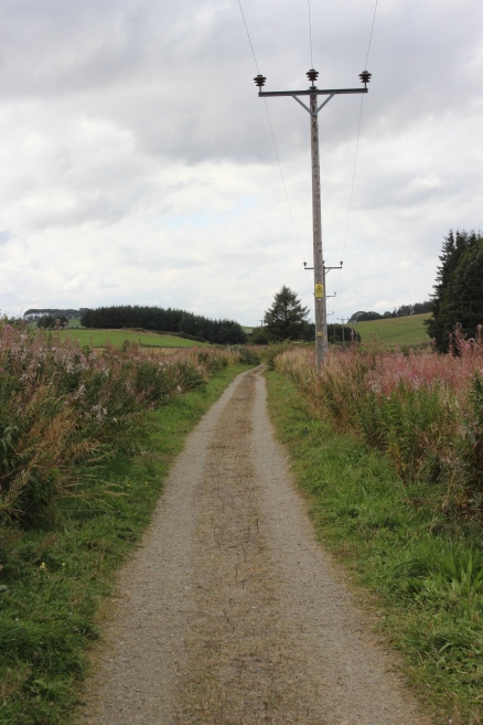
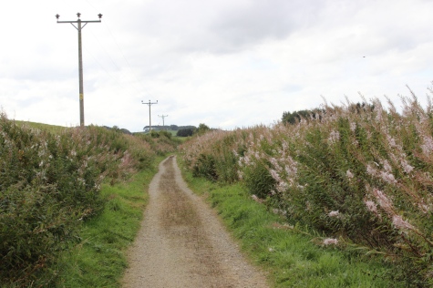
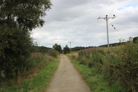
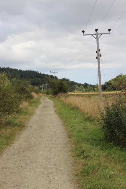
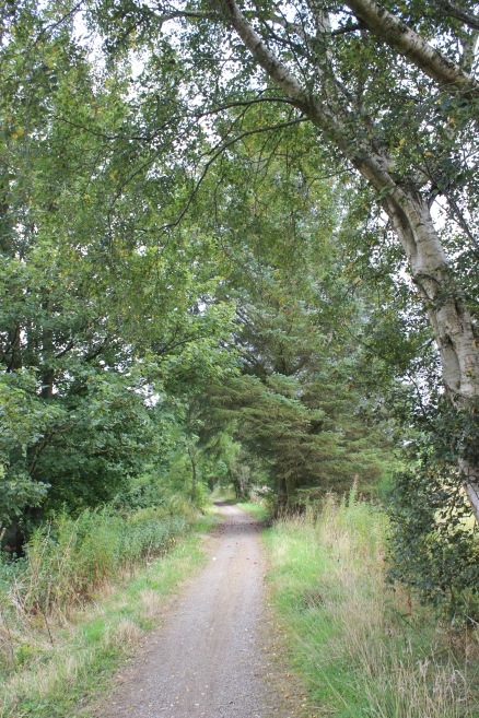
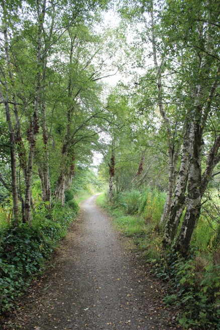
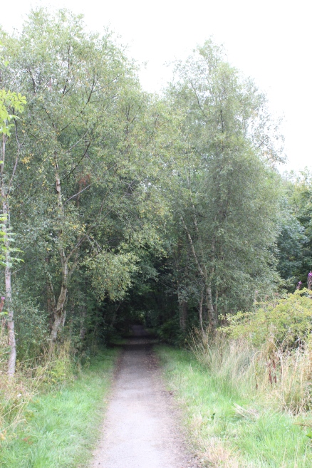
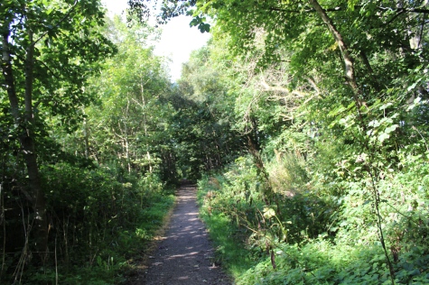
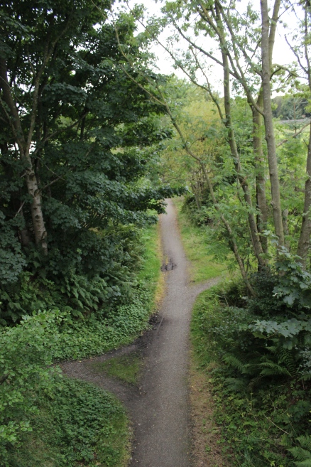
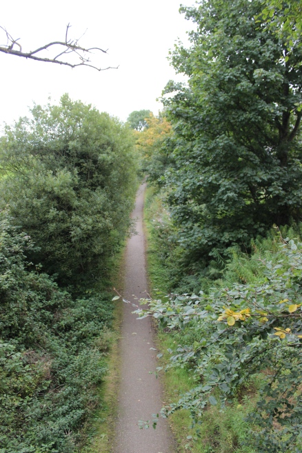
A
long straight, towards Mintlaw.
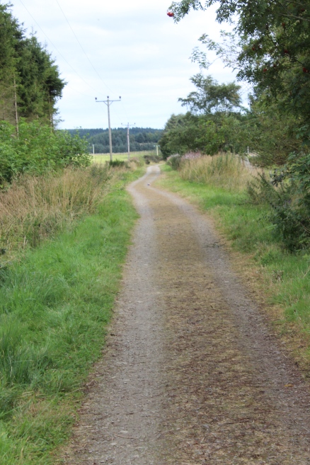
Right:
The long straight, looking back towards Maud.
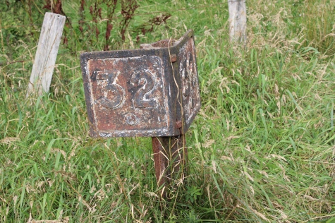
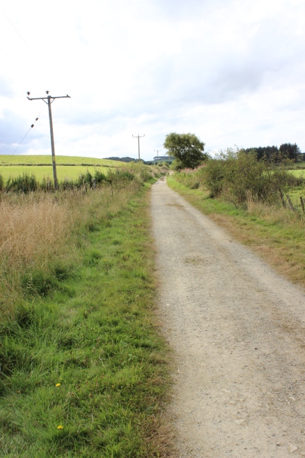
The
32 & a 1/4 mile post, from Dyce.
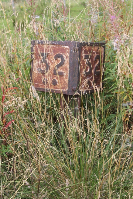
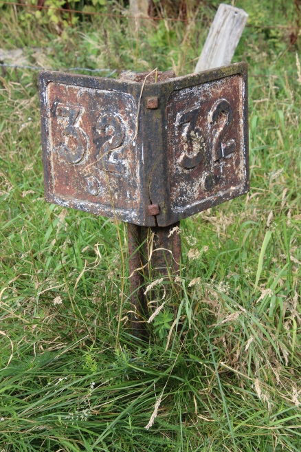
The
32.5 mile post, from Dyce.
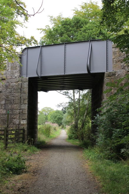
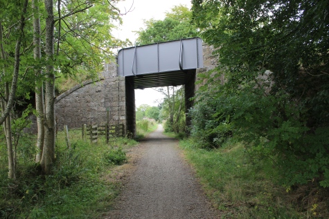
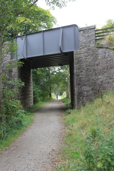
Bridge
over a small Burn.
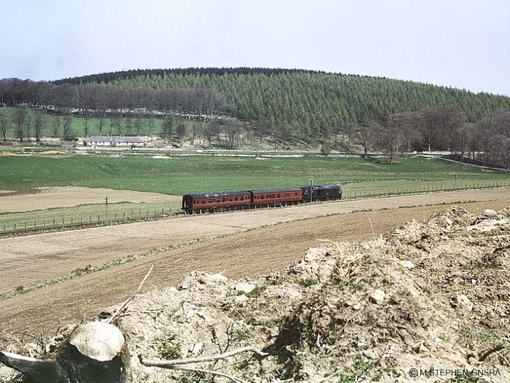
From
the south road around, with the Mintlaw-New Pitsligo road on the north
side, by the house. The train is approaching
the
now demolished over bridge by the site of New Deer Abbey. This
was the 2pm train from Maud to Peterhead and is
a
train I worked on as a secondman. It left Peterhead
around 13.10 and immediately returned back to
Peterhead without
making
a connection for Aberdeen or Fraserburgh, leaving a long wait at Maud
for the next services just after 3pm. It was
a
nonsense booking and probably helped in the railway's demise. It
didn't help that the final train of the day from Peterhead
to
Aberdeen was at 3.15 pm. Complete nonsense and surely deliberately
planned to reduce the railway's conveniance to
to
passengers, who were quickly deserting the line. (GNSRA Photo).
From around the same spot. A
wider lense used makes the ralway look further away than in the 70's
photo. The two trees stand
where
the train is in the 70's photo. (Google).
Ex
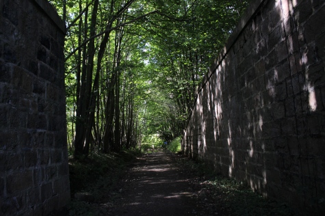
Over bridge approaching Old Deer Abbey (Ruins).
Left:
Mintlaw side of the crossing at
Bridgend.
Right: Maud side of the level crossing.
I
took this as having been a level crossing. However, from the maps I
have seen it was an over bridge. The track bed each side of the
present crossing has been tappered
to
rise to the road level. This may have been the site of the Ex Halt for
the ruins!
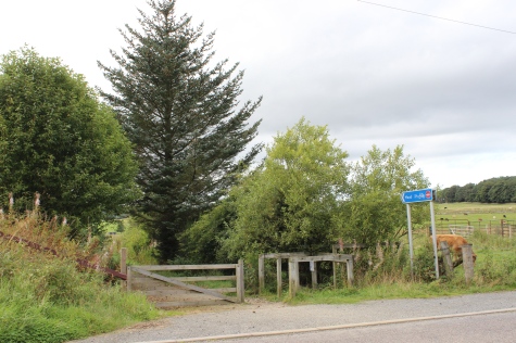
Notice
board at Maud for New Deer. 2.5 miles.
Left:
Towards
Maud.
Right: Towards Mintlaw.
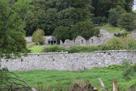
Old Deer
Abbey ruins on the north side of the track bed. (Open to the public).
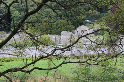
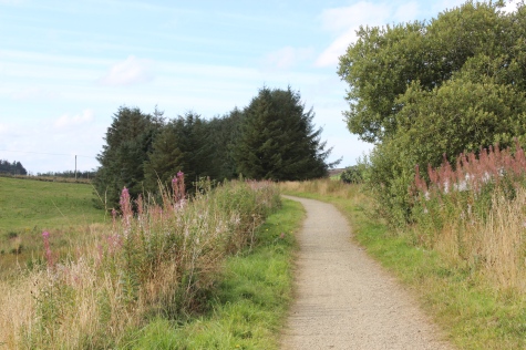
This
is a faulse curve as trees have grown over the south side of the track
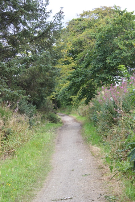
bed, with the path being diverted around it. Towards Mintlaw).
Right:
Looking back on the diverted path. Towards Maud.
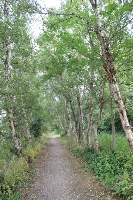
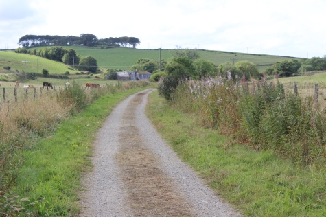
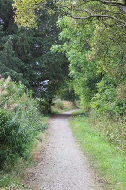
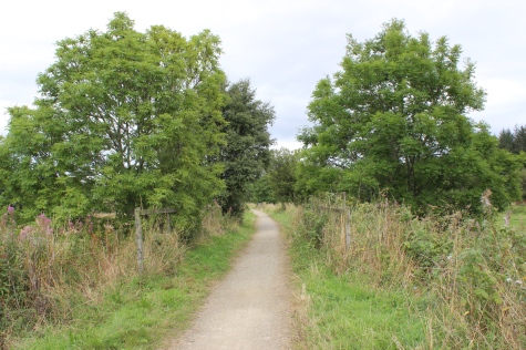
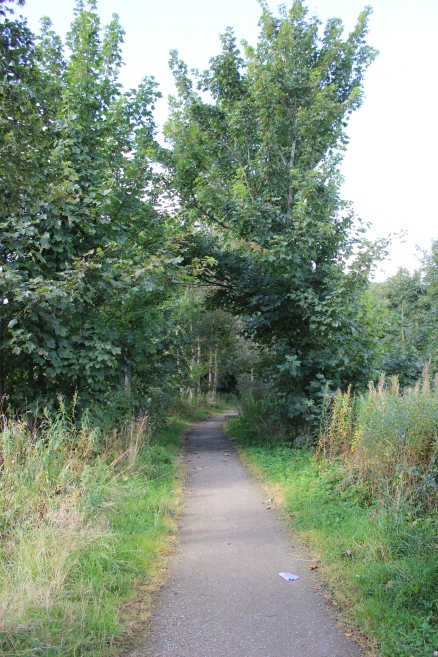
Left:
Towards
Maud.
Right: Towards Mintlaw.
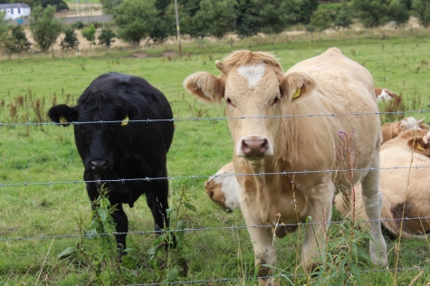
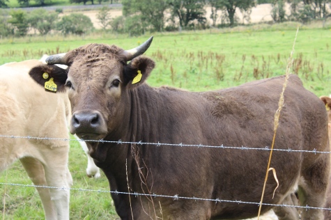
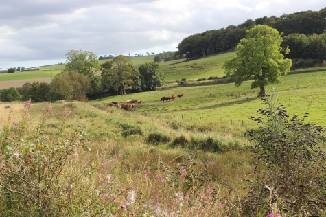
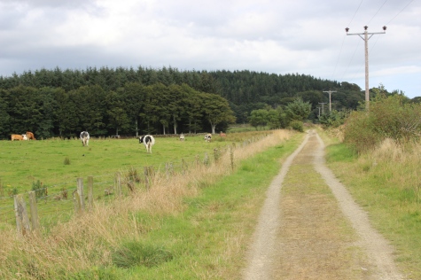
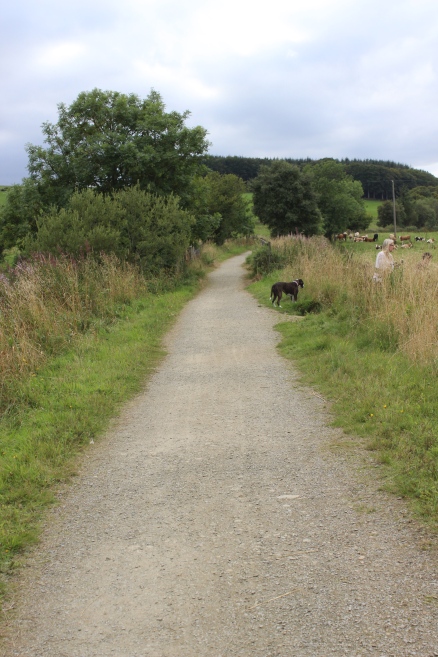
Cows,
as inquisitive as ever!
Another
bridge over the South Ugie Water. There is a path on the north side
leading to the village of New Deer and into Mintlaw, taking you
through Aden House & Park
Farm
Museum. You may have to take this when the wooded track bed leading up
to Mintlaw station site is heavily flooded and muddy, as it was in
this instance.
However,
I decided to walk the road from where the old overbridge was and into
Mintlaw. The road can be very busy and fast.
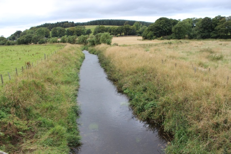
Left:
The South Ugie running
northwards.
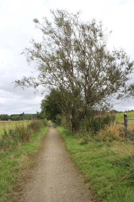
Right: The path to Mintlaw via Aden Park goes off to the right.
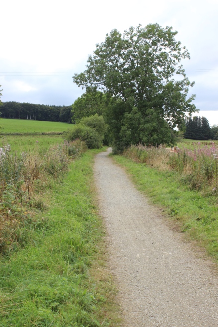
Towards
Mintlaw.
The
road above is too and from the village of Stuartfield. Towards
Mintlaw.
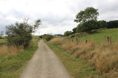
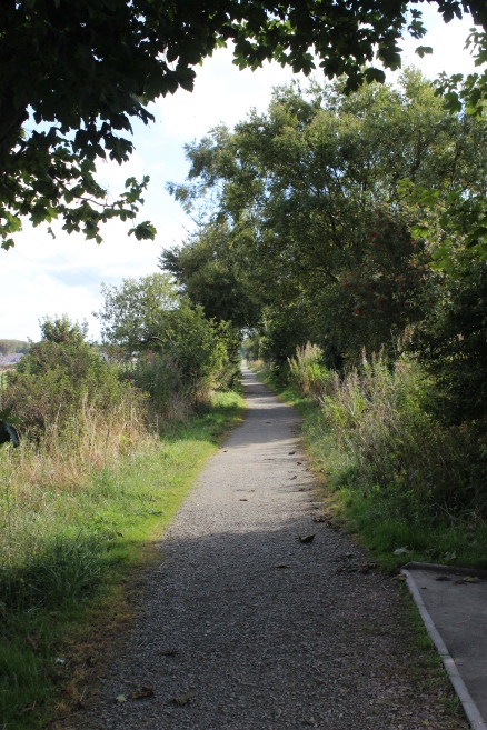
Left:
back towards
Maud.
Right: Towards Mintlaw.
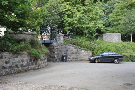
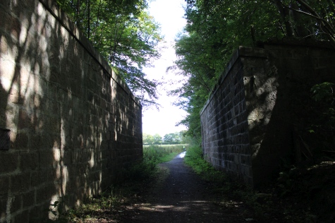
Right: the track bed ends at the spot where
the over bridge was demolished. You have to cross the road to get back
onto the track bed towards the station site
but as mentioned, on this ocassion it was too wet and muddy to get
through and I walk the road into Mintlaw to catch my bus back to
Aberdeen. However,
on my outward walk earlier I took the station path, which is when I
learned that it was extremely wet and muddy and got my shoes and
trousers messed up a
bit, so decided to miss this on the way back. You can see the Track bed
sign on the oppsite side of the road, top left.
Here are the few photos I took on that section...........
An
old bridge that went over the railway. Left: Towards Maud. Right:
Towards Peterhead. This is where the ground became too wet and boggie,
for comfort and I had a job
getting
through it without getting too messy. Thankfully at the worst spot,
leading up to the main road,there was a length of wood floating in the
muddy water and by holding
onto
the fence I was able to get across it. Thankfully too, there was a
grassy spot my the main road where it was long enough to wipe my shoes
off reasonably well. I
decided
then to miss this out during my retrun walk from Maud.
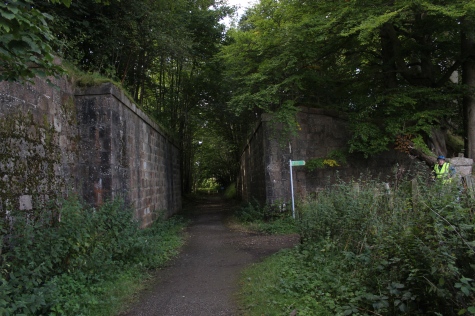
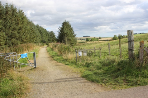
Footpath
to Pitfour Estate, to the north of the track bed. The estate &
Gardens are open to the public.
The
over bridge at the west side of the station. Left: Towards
Maud.station.
Left:
Back towards Peterhead. Right' The shorth length of Up platform
that was showing.
Left:
Back towards
Peterhead.
Right' The short length of Up platform that was showing.
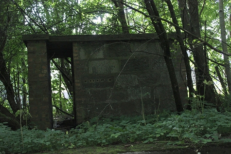
As
this is by the platform it appears to be a Staff air-raid shelter.
Towards
Peterhead.
Left:
Towards Peterhead on the length between the Ex over bridge on the A---
and the station
site. Right: The
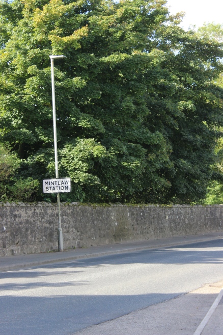
station sign by the road side is still on display.
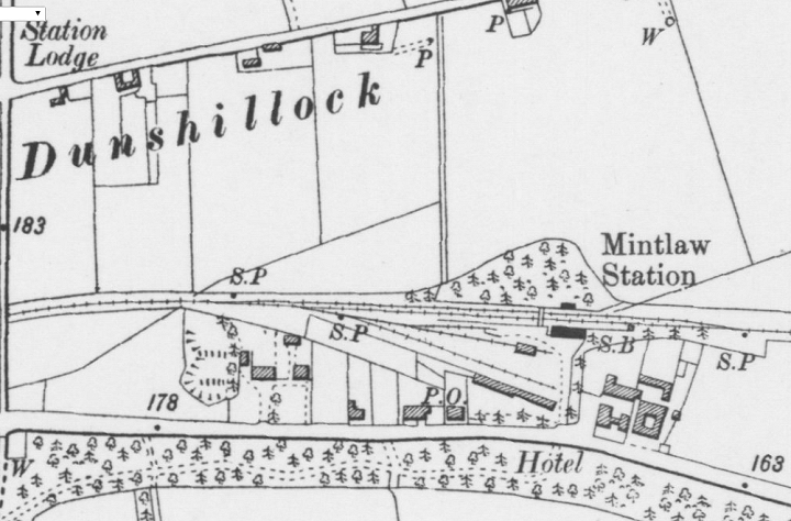
The station is approx.
three quarters of a mile west of the village. It was a two track
station with a passenger
footbridge and a fair sized Goods Yard on the west side of the station
buildings. (NLS Maps).
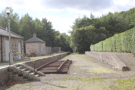
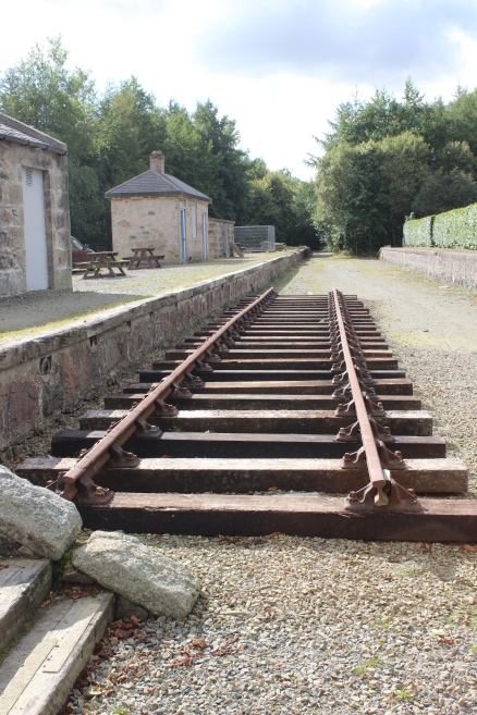
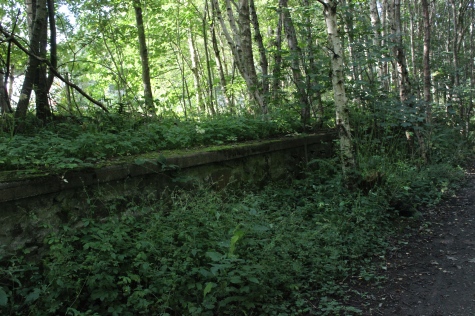
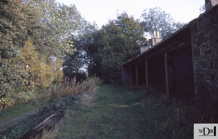
The station and Goods Yard site as they are today. From the station entrance.
THE STATION SITE IN THE 90's.
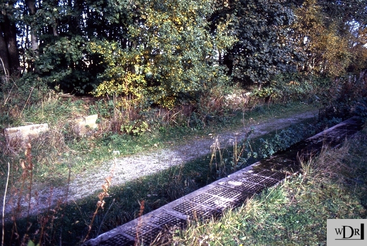
The
Down platform, in the back ground and the Up Platform to the fore.
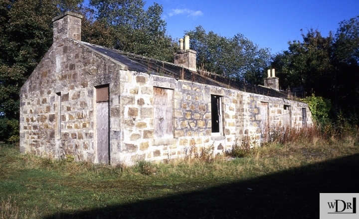
From
the same spot, towards Peterhead, with the station building. At this
time the building was badly damaged when
youths
set it on fire which meant the building had to be demolished. The
trees are already starting to take over. You
can't
even see this from the track bed today, just parts of the
platform edge in places.
The station building from the station forecourt, showing the fire damage.
=======================================
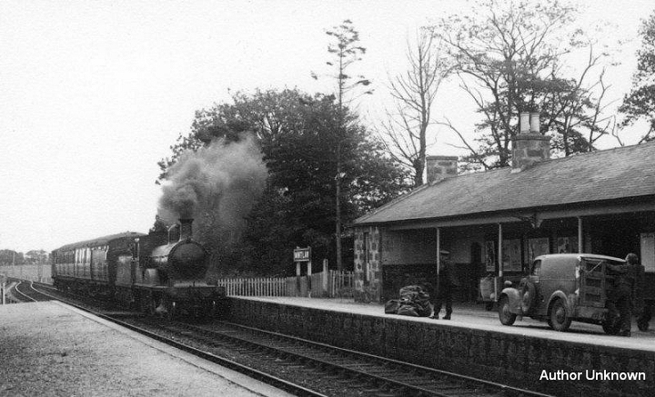
A
mixed train entering Mintlaw station from Peterhead, with a postal van
and staff awaiting it's arrival. It may have been
a
Maud working or it may have been attached to a Fraserburgh train and
continue to Aberdeen. Nice to see it when
both
platforms were still in use.

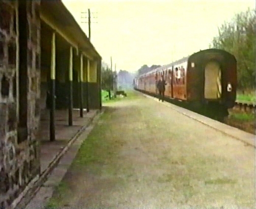
Left:
The wagon pick-up train passing through the station. Right:
Passenger train departing Mintaw station in the 70's. (Video film
screen grabs).
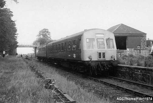
Taken
during the final months of the railway. A Tour special stops to allow
it's railway
enthusiasts
to look around the site. The Goods Shed is seen behind the DMU.
The
tail
light indicates that this was on the outward journey
to Peterhead. It it sad how
over
grown this spot has became today and that nothing remains of the
station or
the
Goods shed. If this line should reopen I would hope that the new
station would
be
built at the next road bridge towards Peterhead and much closer to the
town.
In
fact it would be a minute or two's walk from the centre.
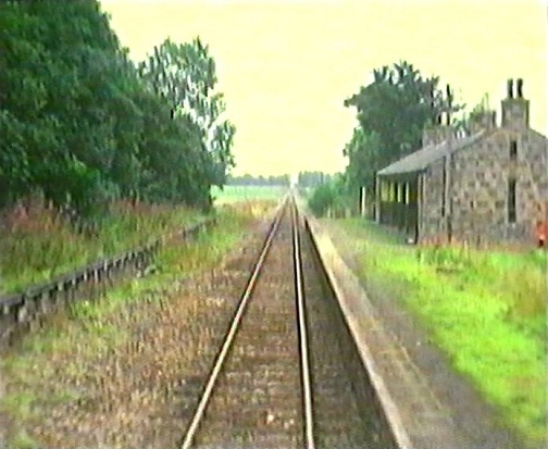
Mintlaw
station and Goods Yard. From the wagon-clearing train brake van in
1979.
(Video
film screen grab).
The
over bridge just to the north of Mintlaw station. There was an over
bridge at both ends of
the station.
Left:
From the over bridge, towards the station
site.
Right: Towards Peterhead.
==============================================================
Video
Screen grabs from the The
Railways Of Scotland Volume 4 "Aberdeen and the Grampians".
An excellent video available on DVD, from
Cinerail at:
http://www.cinerail.com/
There
are many great archive scenes
of almost every Scottish route you can think of. Well worth a look.
================================================================
Back To Index Back to Home Page
Railscot: https://www.railscot.co.uk/ Excellent web site on Scotland's railways. Maps, photos and historical details.
This
page brought to you by:
VintageHammond.Com - We Buy-Sell-Trade Vintage Hammond
Organs and Roll or Kari Organ/Vending Machine Moving Dollies Order Roll or Kari Dollies Here