MINTLAW TO LONGSIDE
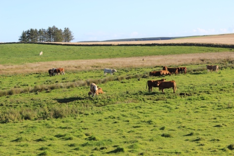
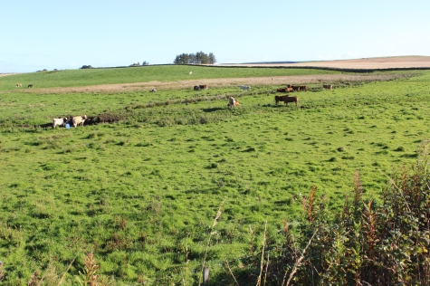
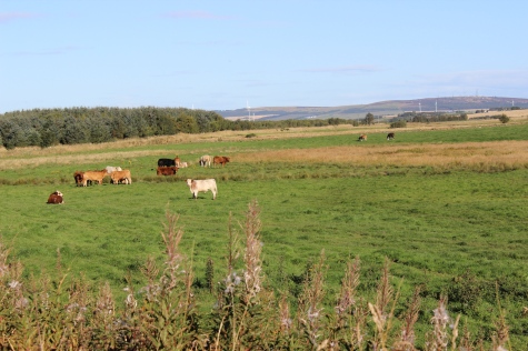
Due to some quite long straghts the walk feels mush longer at times. Not a lot of interest as it is mainly farming country. However, there are
a number of over and under bridges on the way and apart fro Longside and Lonmay that have no station or goods yard buildings to see.
Station buildings that are still there are all private dwellings today. Peterhead is very disappinting as there is nothing left of the railway, where
a monsterous modern red-bricked building, the Peterhead Acadamey stands. I had a job recognising this as the station site that I remember
as a secondman back in 1963/4.
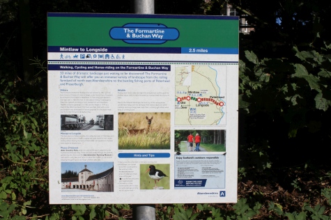
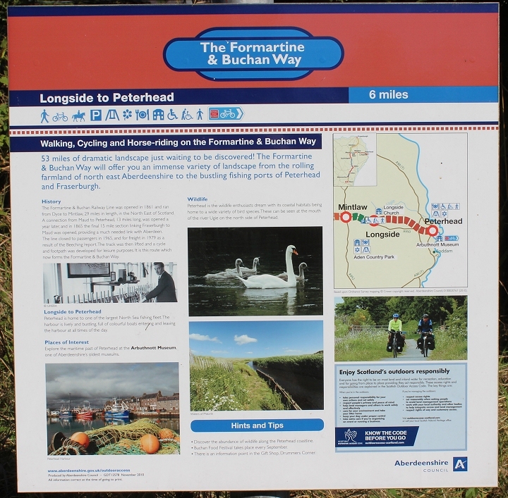
Information Board at Longside.
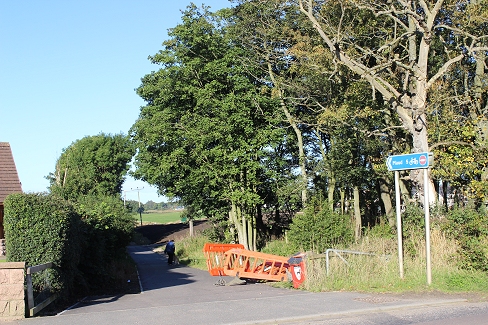
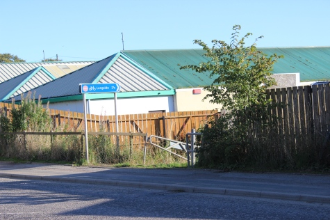
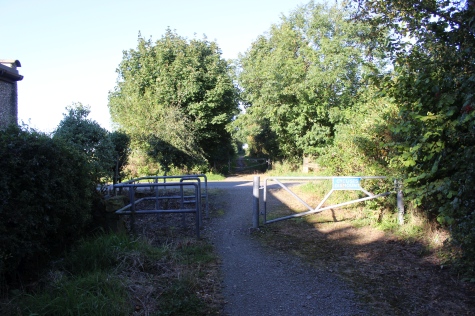
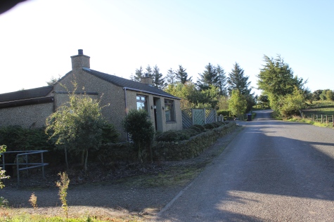
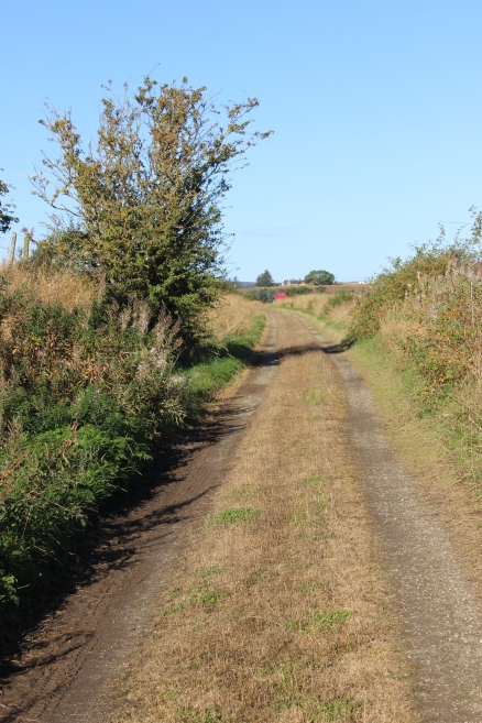
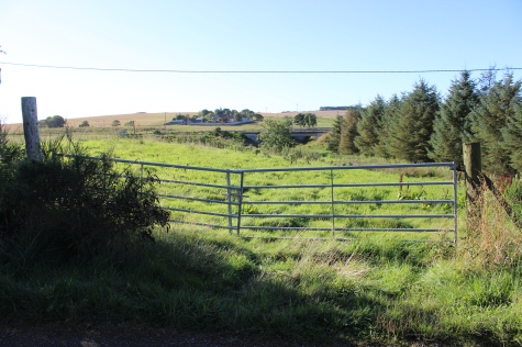
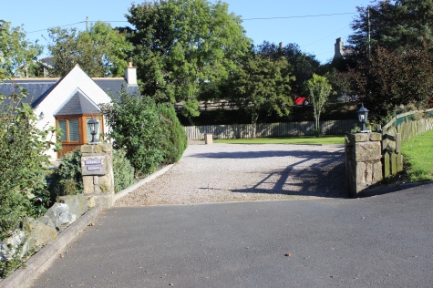
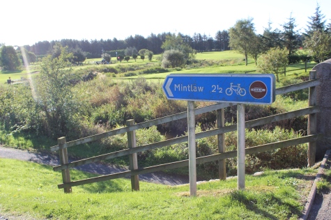
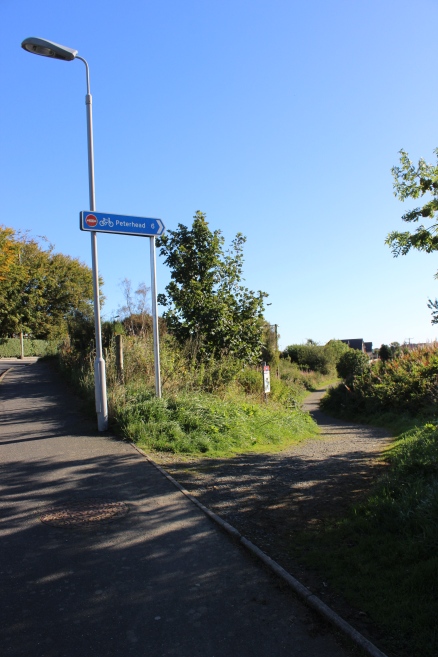
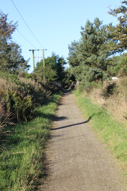
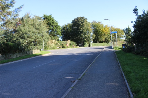
From the Ex Overbridge at Mintlaw. Left: View from road towards Mintlaw Station site. Right: Entrance for track bed towards Peterhead.
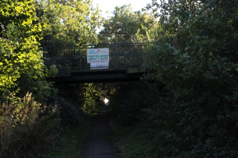
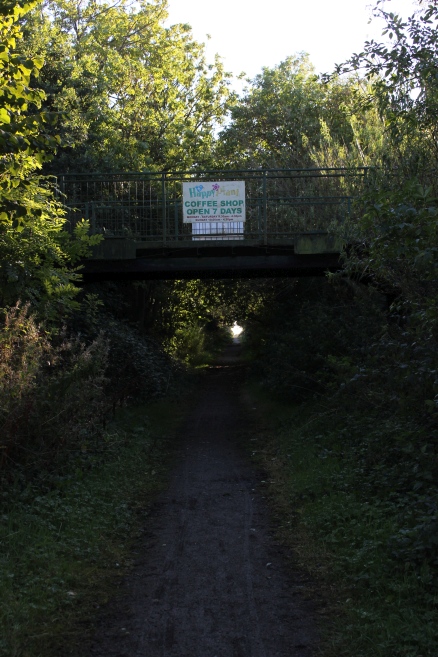
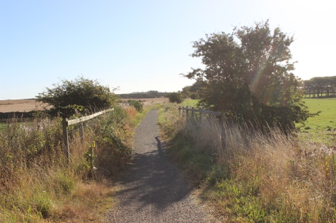
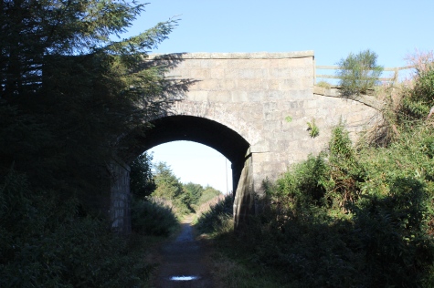
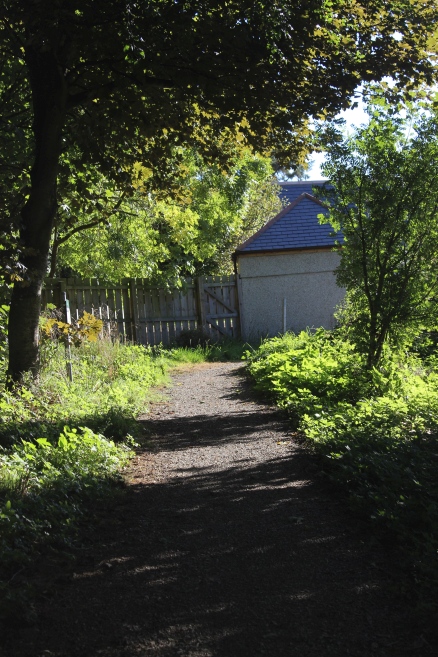
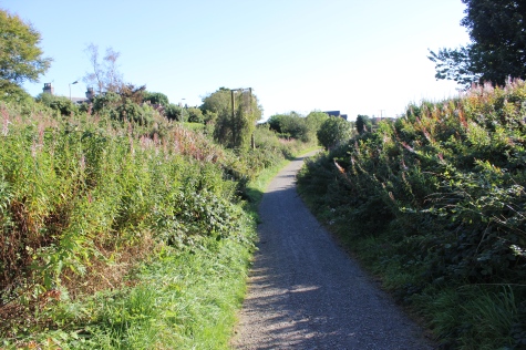
First few yards. A Footbridge towards Peterhead.
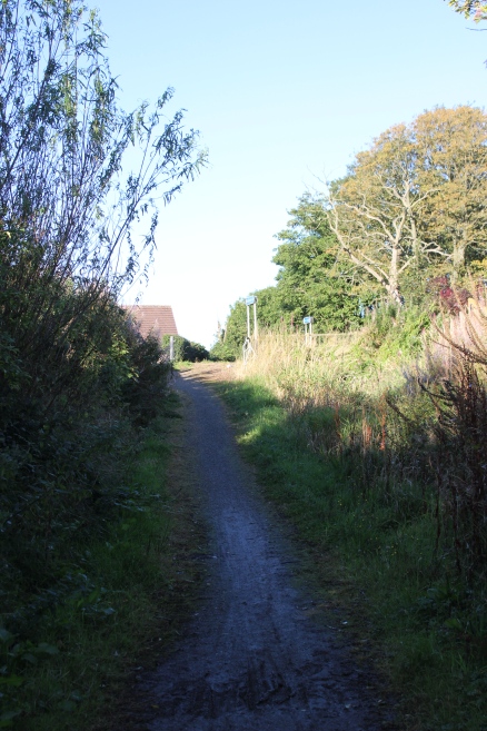
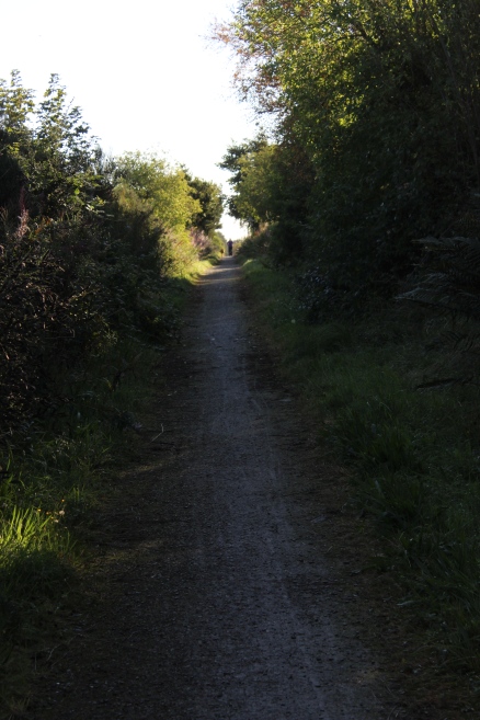
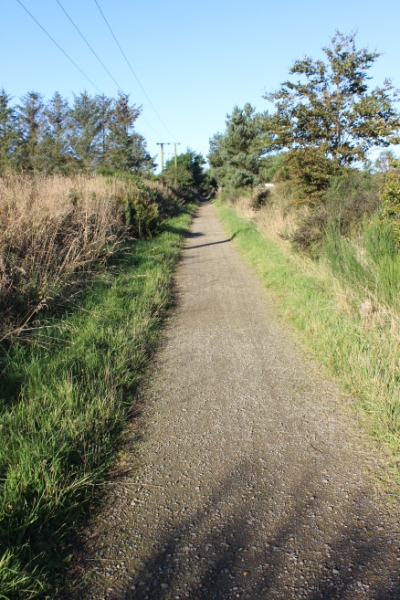
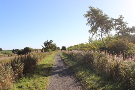
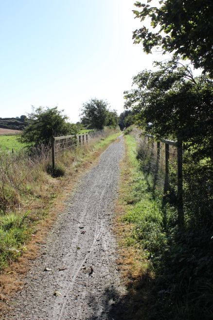
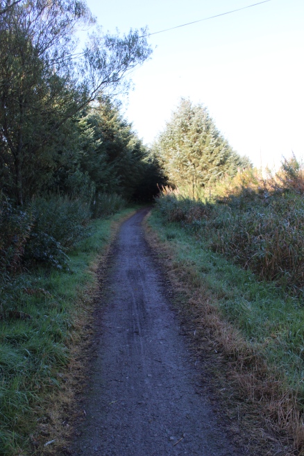
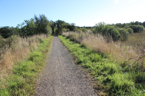
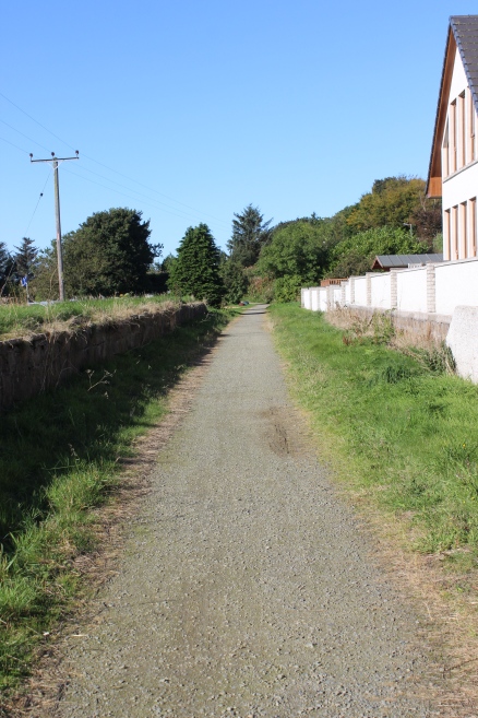
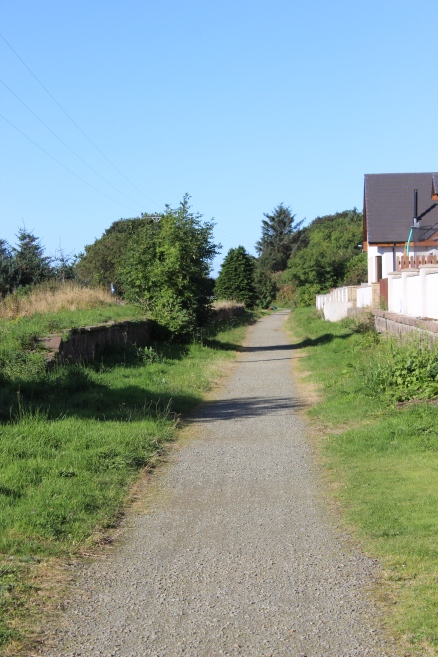
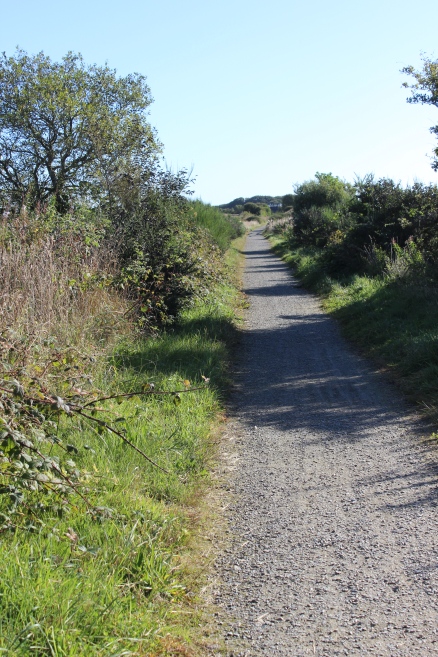
Left: Back towards the site of the Ex Overbridge. Right: Towards Peterhead.
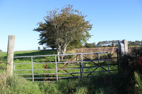
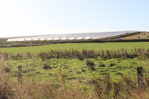
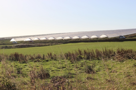
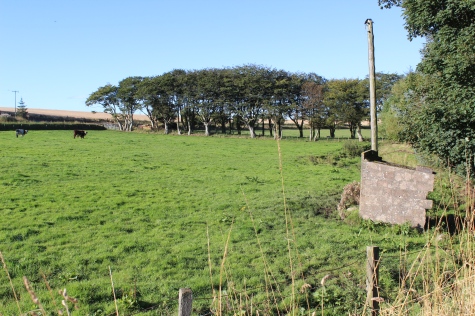
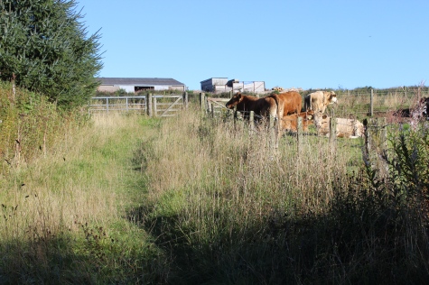
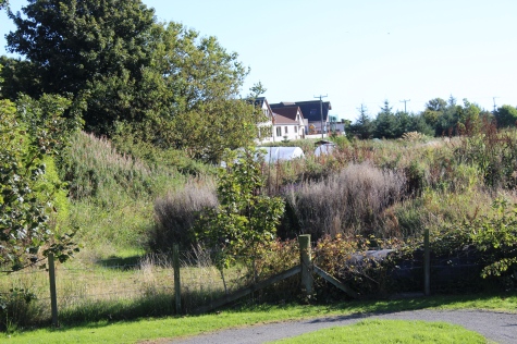
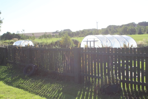
Plastic covered field on the south side of the track bed (Mintlaw).
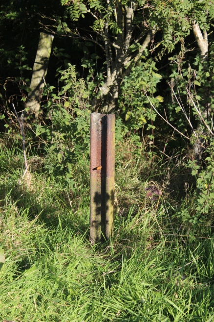
Remains of Mile Post. Probably was one of the 30 miles posts. Miles were
from Dyce Junction. Marked every quarter of a mile.
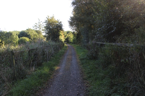
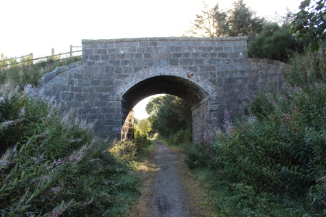
A bridge over a Burn.
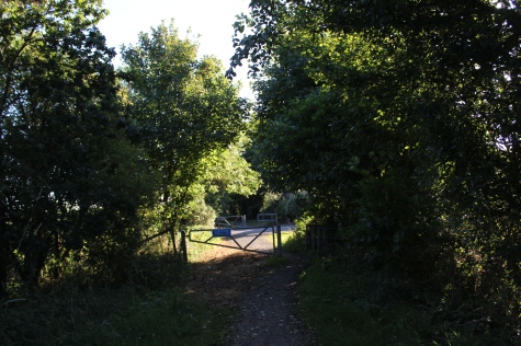
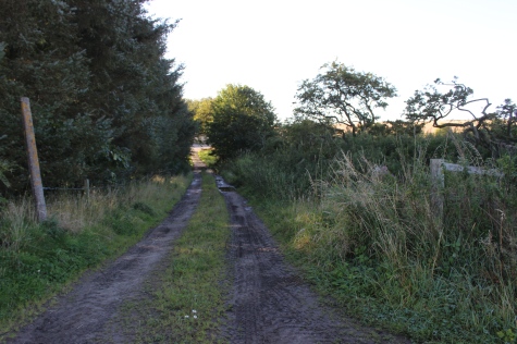
Site of Ex Level Crossing. Left: Towards Peterhead. Right: Towards Mintlaw.
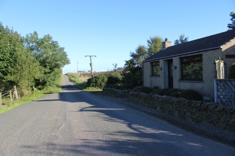
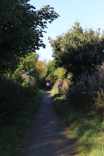
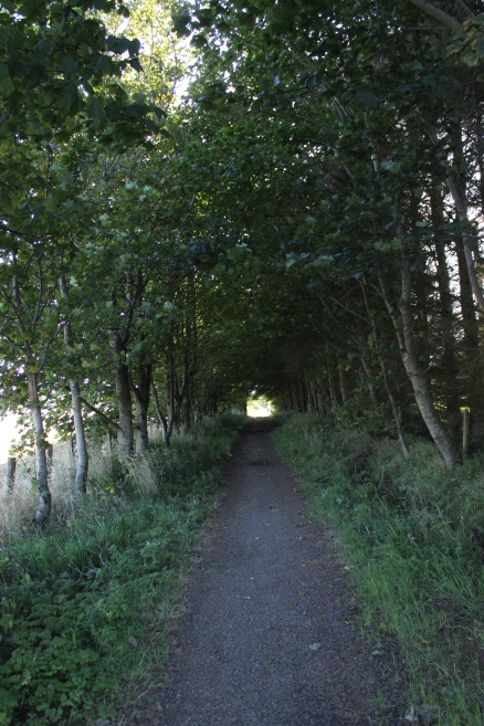
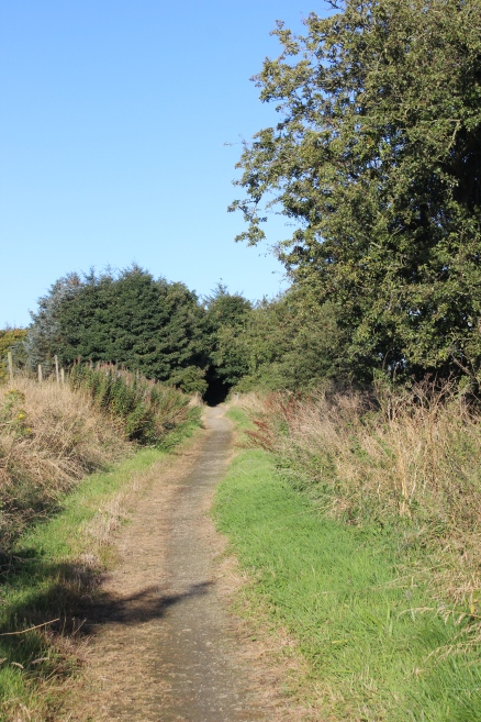
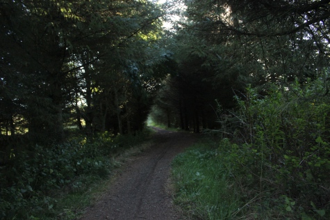
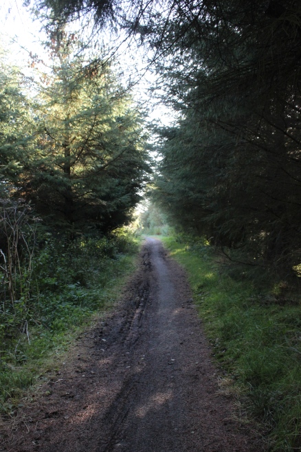
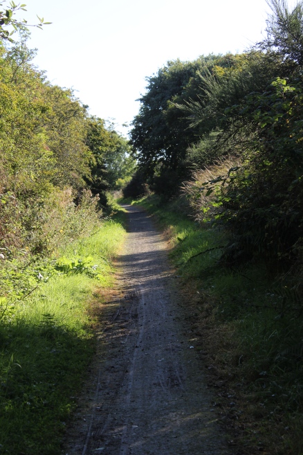
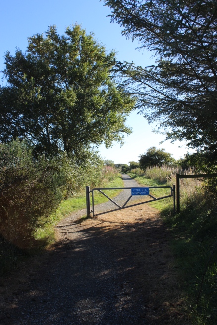
The track bed continues in an avenue of trees before opening up again.
Back into the bright sunlight.
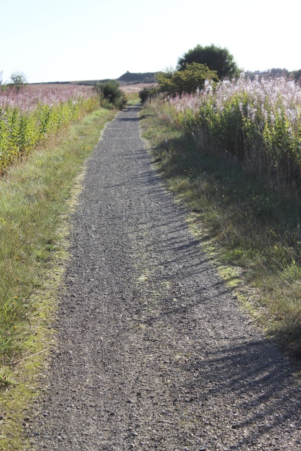
A bridge over a small burn. Left: Towards Peterhead. Right: Back towards Mintlaw.
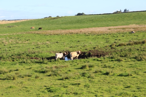
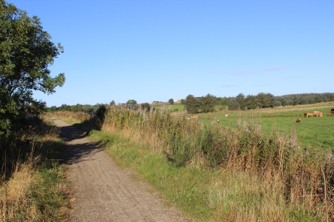
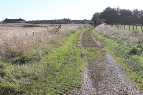
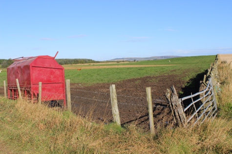
The track bed is used regularly by a local farmer as access to his field(s).
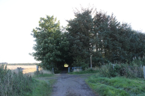
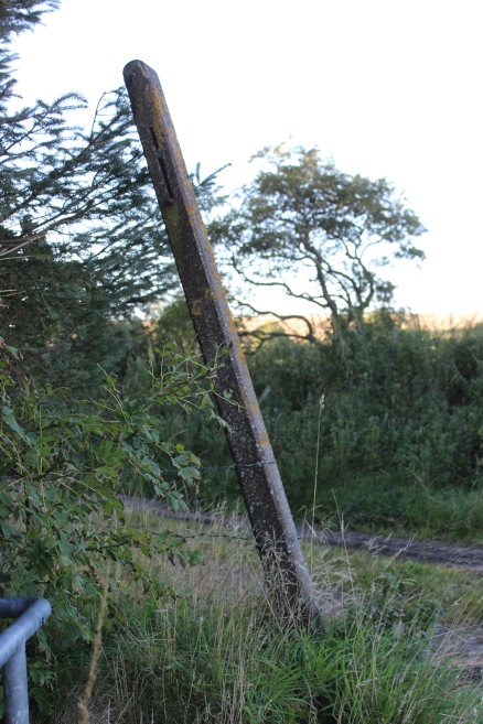
Left: Ex Farm Crossing & old sign post.
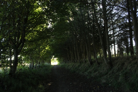
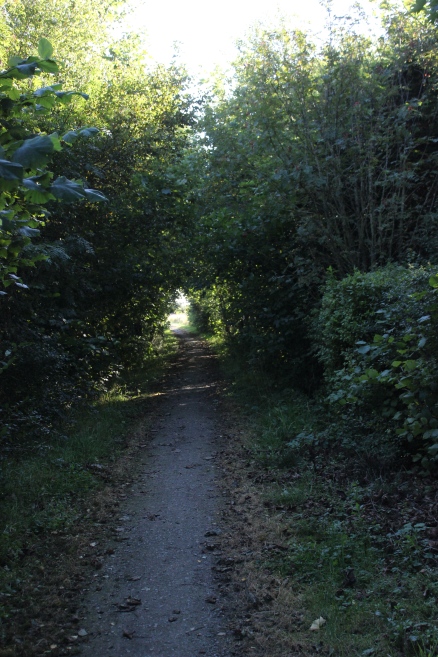
Left: Almost a tunnel of trees! From within the short wooded area. Right: View north side of track bed.
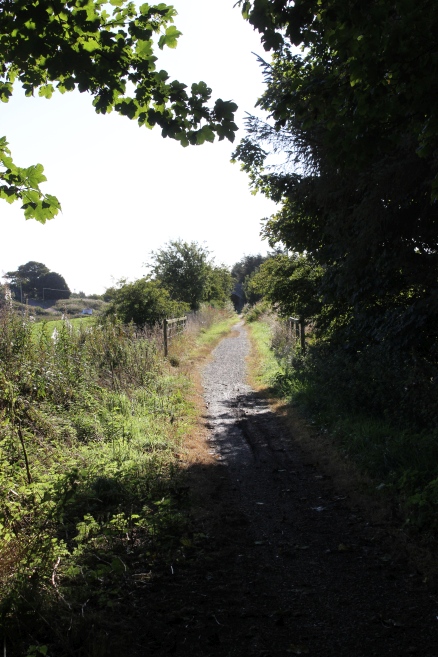
Left: Leaving the wooded area, towards a birdge over a burn. Left: 18mm Angle view. Right: 55mm angle view from same spot.
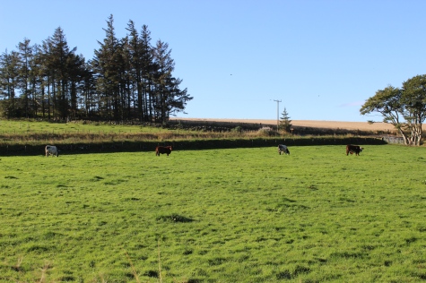
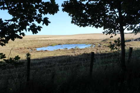
South side of the track bed.
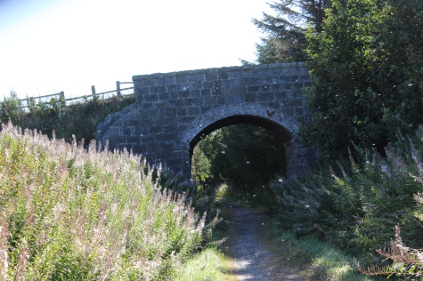
Over bridge within the area known as Glen Ugie. Left: Towards Peterhead.
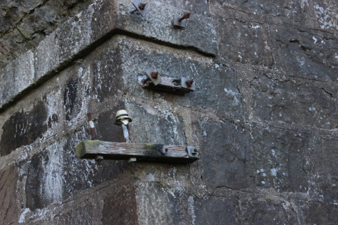
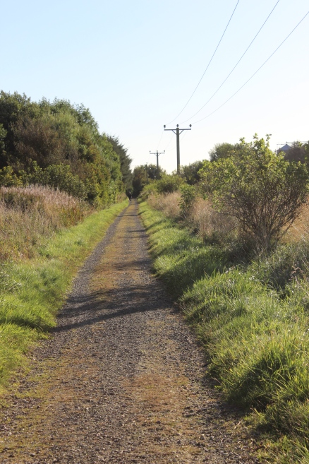
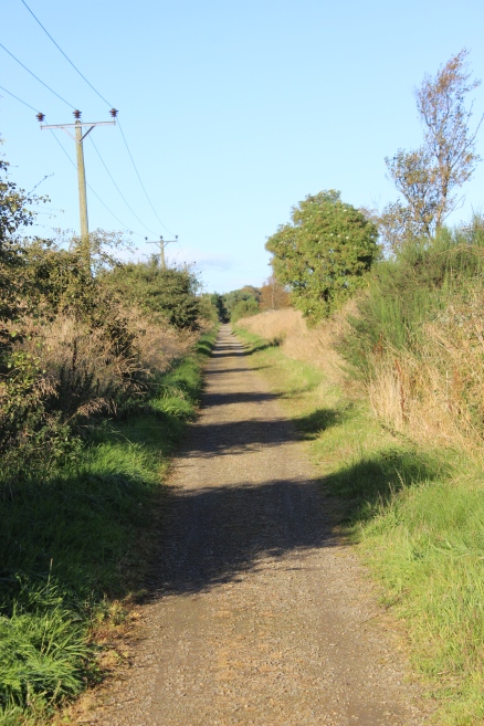
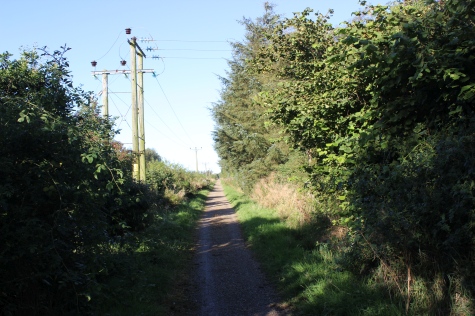
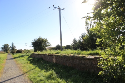
Left: Parts of the telegraph wire supports still remain. Right: View back towards Mintlaw.
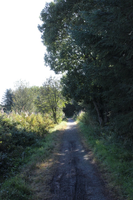
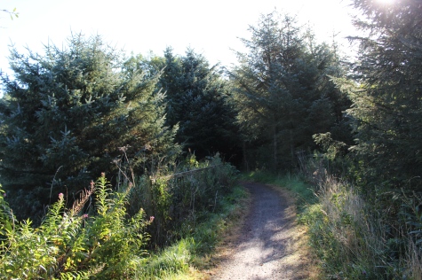
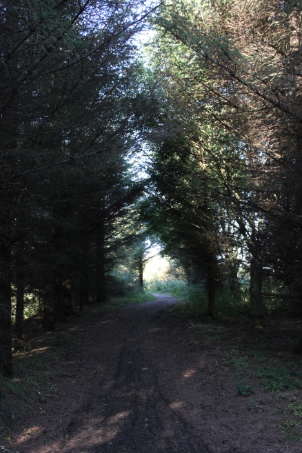
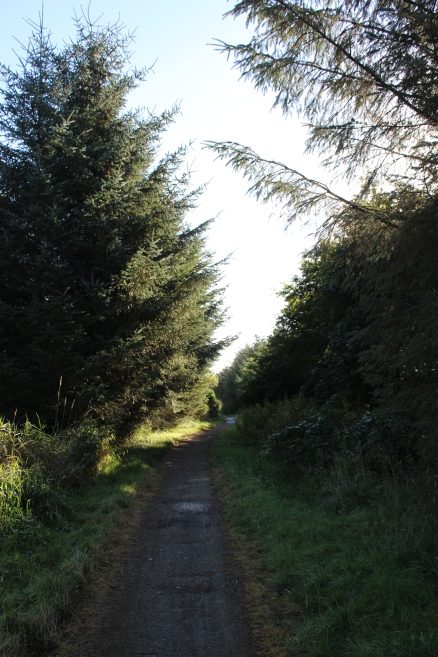
By Ex Glen Ugie Saw Mill. Right: Another tunnel of trees, towards Peterhead.
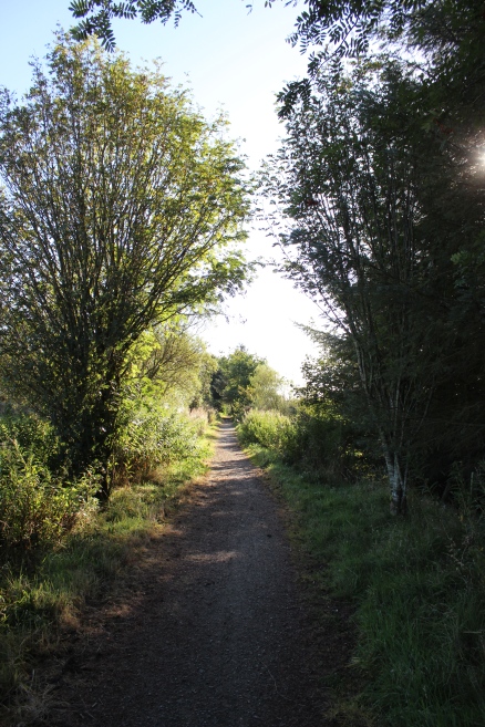
Right: Ex Farm Crossing. South side of the track bed with the main road in the middle ground.
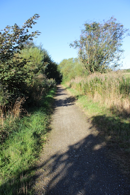
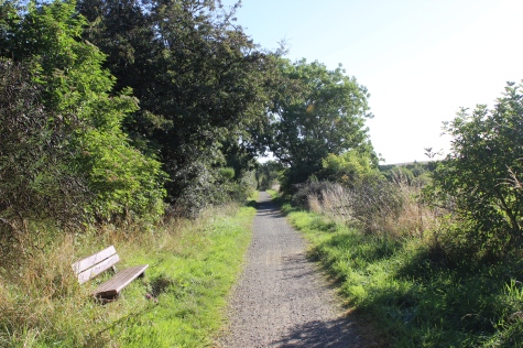
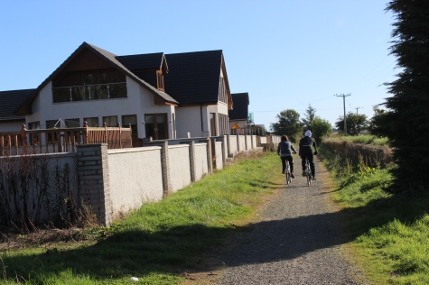
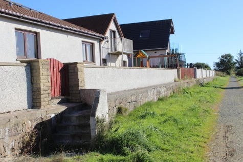
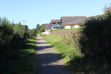
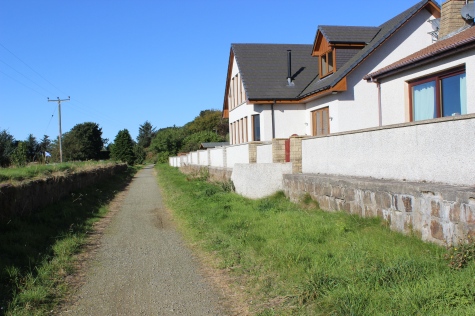
Modern homes on the outskirt of Longside. Didn't exist in railway days.
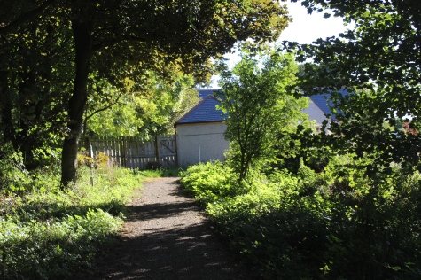
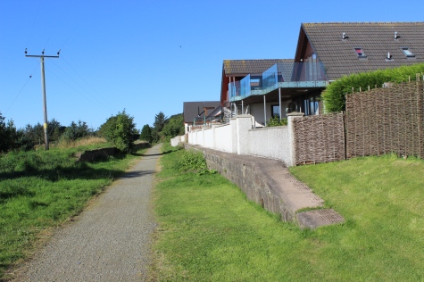
Track approaching Longside Station Master's House. The track bed ran behind the house. A rear extension to the house has crept over the track bed.
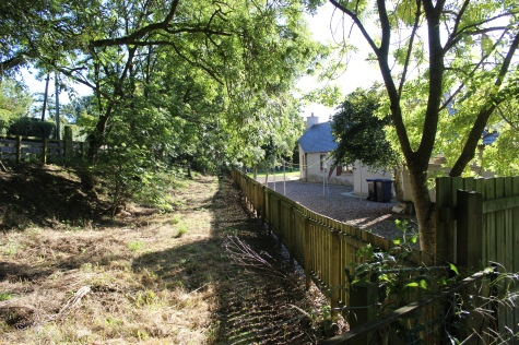
Left: The track continued past the rear of the house. Right: The front of the House. The track ran behind and went below the road bridge that was to the right.
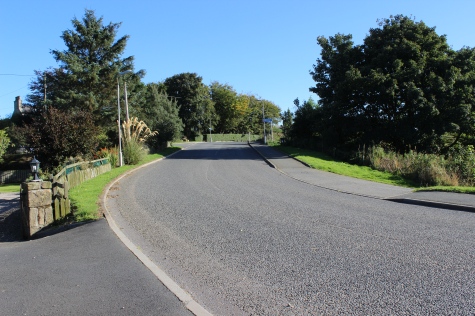
Left: The railway ran below the brow of the village road. Right: The station site seen on the Peterhed side of the road.
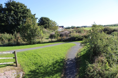
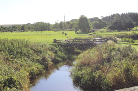
Left: The station site up ahead. This path leads down to the river and back to wards Mintlaw. Right: The river Ugie with the Golf Course behind.
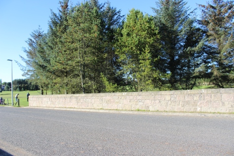
Auchlee Bridge over the river Ugie. Probably a new one since the railway closed. Right: Looking over the Golf Course.
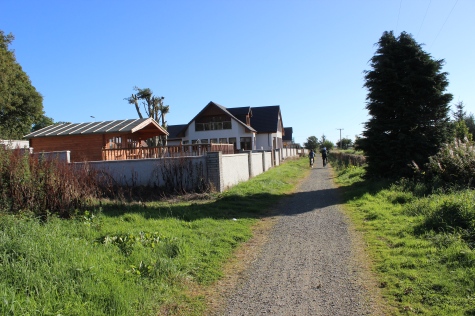
Getting back onto the track bed. Peterhead is 6 miles, westwards. N.B. The original railway fencing still in place around the house, on the right.
The new path leading back into the north side of the track bed by
Longside station site.
Longside station site. The signal box stood on the right by the tree.
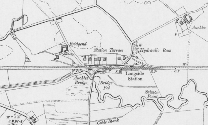
Longside Station. The Lebno Airship branch is not shown. It left the line immdiately ahead of the station and went
southwards, crossing the river Ugie. Today the Goods Yard is a small housing estate.
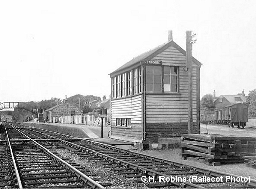
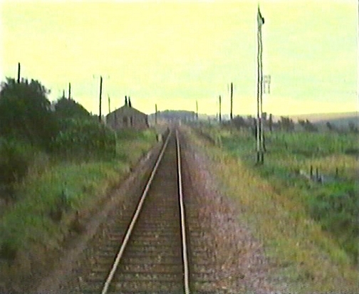
Left: In better times (1951). Right: From the final wagon clearing train brake van in 1979.
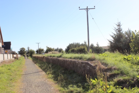
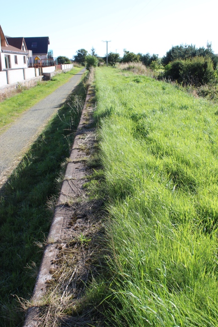
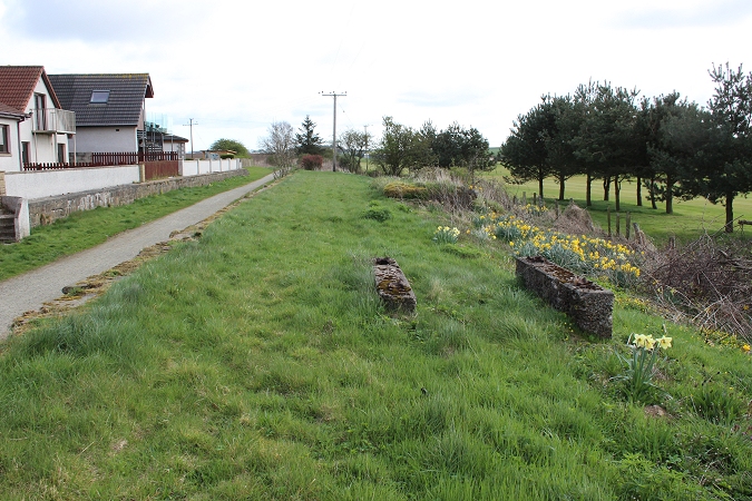
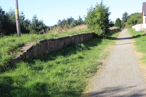
Longside station site. Houses have extended to the edge of the Up Platform. No station buildings remain. The Up platform on the right is still quite clear. I could
see no sign of the junction that turned south at the far end of the station that went to Lenobo Airship Station. I remember seeng the track bed
from the locomotive, heading southwards, which was still quite clear back in the 60's. Lenobo was three and a half miles from Longside and 2 miles north
of Hatton. The Airship Station was built in 1915 and was in operation until 1920.
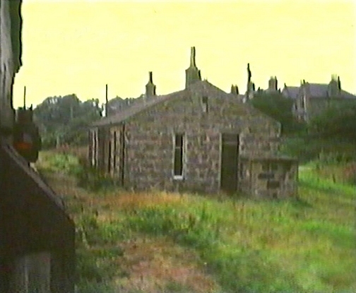
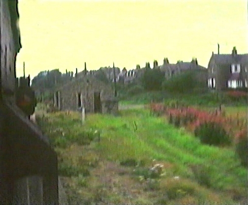
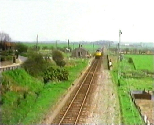
Left: Station as seen from the south end. From the brake van of the final, wagon clearing train brake van in 1979. (Video Screen grab).
Right: Near the end. In the latter days there were no signals and the line from Peterhead to Maud was one long siding. Likewise, with Maud to Fraserburgh.
(Video Screen Grab)
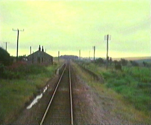
Taken from the Ex over bridge in the 70's. (Video screen grab).
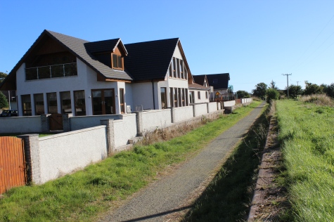
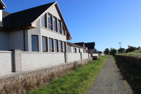
View westwards.
The Up Platform, from the north end.
The two concrete blocks is where the Up Platform shlter stood. It is built up to level the building with the platform. 13th April 2017.
Toward Mintlaw. The Up Platform hadn't been used for many years before
total closure. The station is a little way to the south of the Village. If the
line were reopened perhaps this would be the platform used for the
new station!
Longside Station Site, towards Mintlaw. The housing estate is within the old
Goods Yard.
Very fuzzy. From the final wagon-clearing train brake van in 1979. Remains of
the Lebno Airship Station branch line. (Video film screen grab).
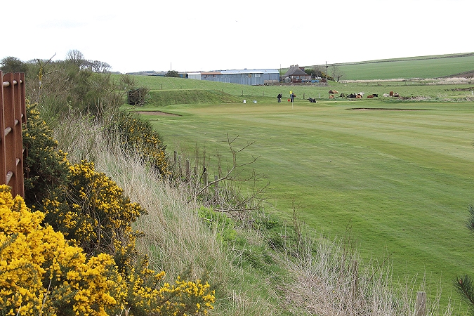
I think the short stub of an embankment that crossed where the Golf Course now resgines is all
that remains of the junction for Lenobo. 13th Aprl 2017.
Site of the over bridge that was at the north end of the station.
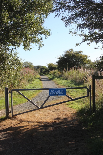
View looking northwards from Longside stn site, to Newseat.
==============================================
