Back To Index
MINTLAW TO PETERHEAD
(25th Sept 2015)
NEWSEAT TO INVERUGIE
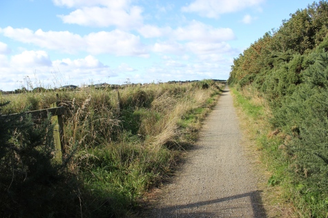
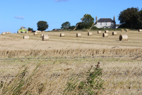
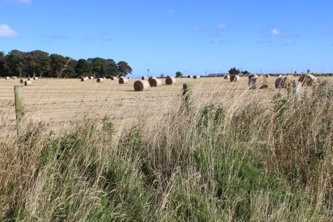
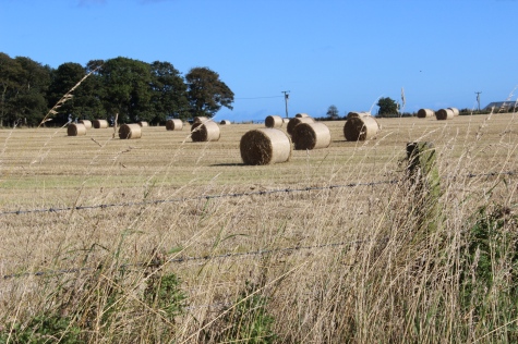
From Newseat it is back to open countryside of rolling hills and farms, with Sheep, Cattle and Cerials.

The
farm, on the north side of the track bed is shown as Westerton of
Barnyards on my map.
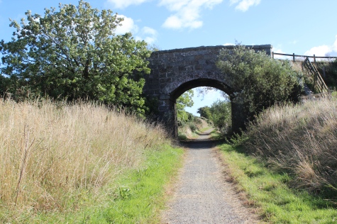
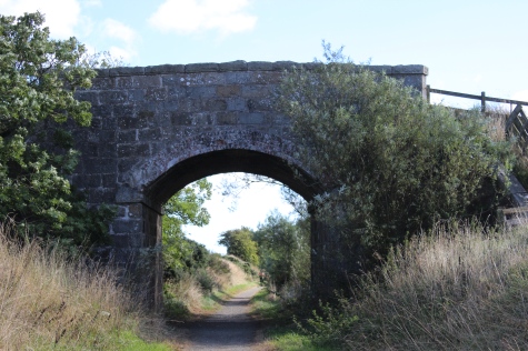
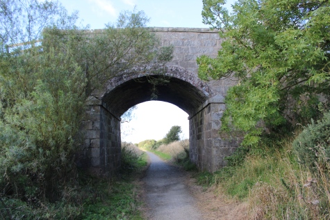
The
'C'road to from Westerton To Barnyards to Smiddyhill Farms on either
side of the railway. Left: Towards Peterhead. Right: Back towards
Maud.
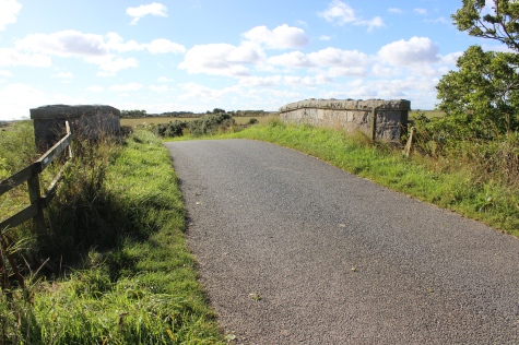
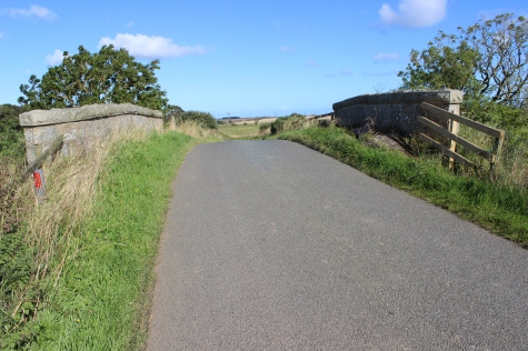
On
the over bridge. Left: View southwards towards Smiddyfield
Farm. Right:
View northwards towards Westerton Of Barnyards Farm.
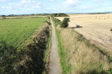
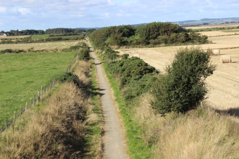
This
was one of the few bridges that it was possible to get up
onto. Left: Towards Maud. Right: Towards Peterhead. Quite a long
straight.
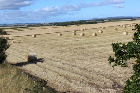
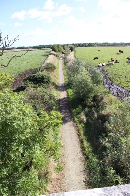
Left:
Countryside to the north west of the track
bed.
Right: View from the top of the bridge, towards Peterhead.
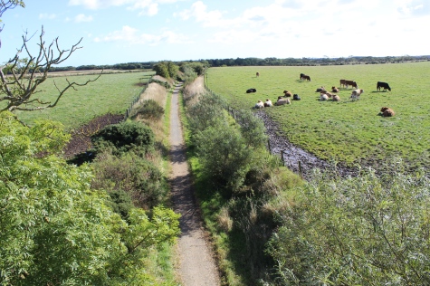
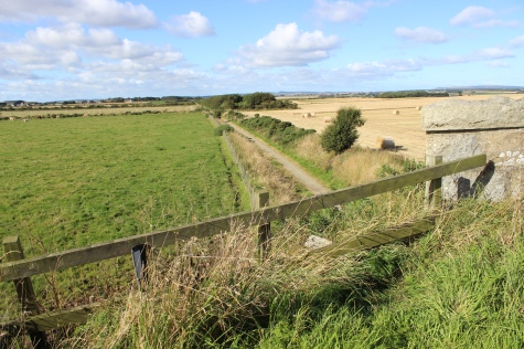
Towards
Peterhead and to Mintlaw, respectfully.
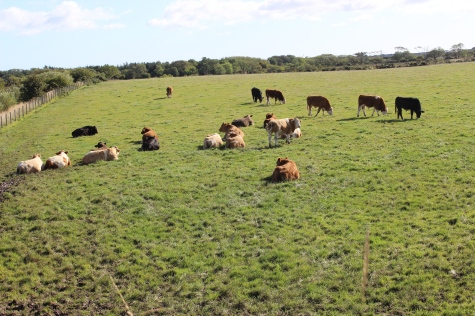
On
the south side of the over bridge. Towards Peterhead.
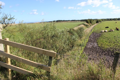
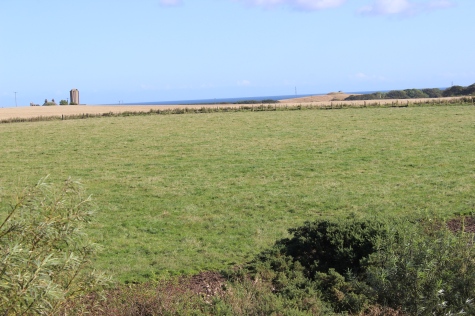
Left:
The shallow cutting, running towards
Peterhead.
Right: View from the road. Northwest of the track bed.
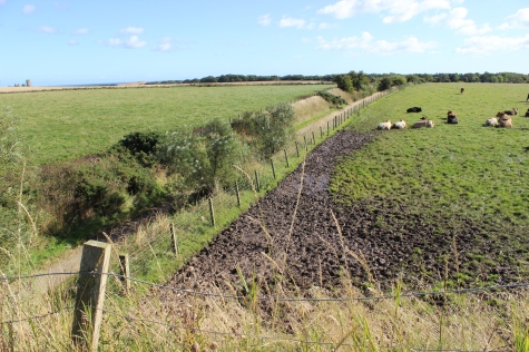
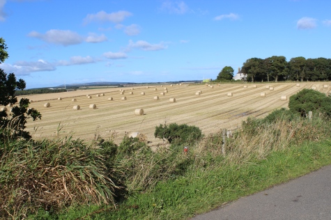
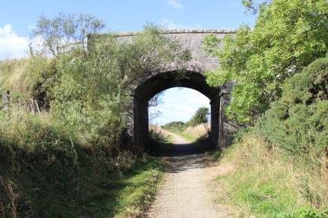
The
over bridge. Towards Newseat.
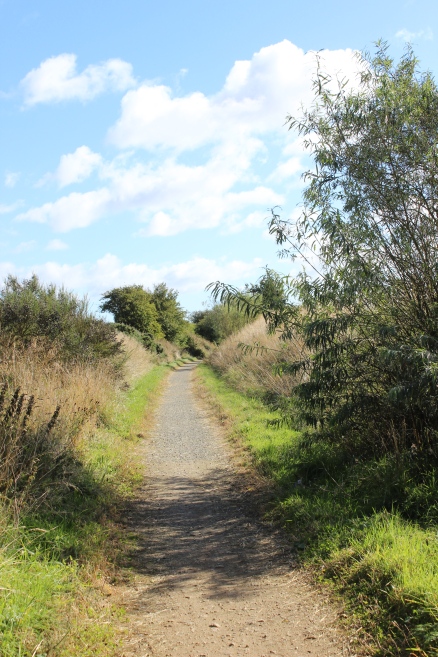
View
towards Inverugie.
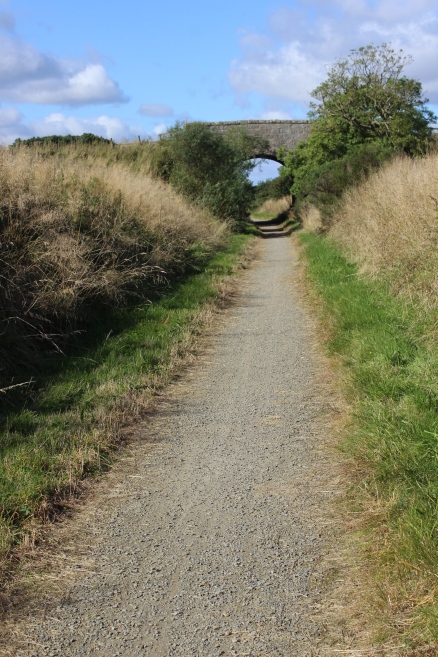
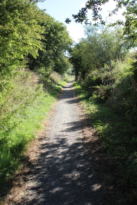
The
over bridge, looking back towards Newseat.
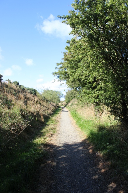
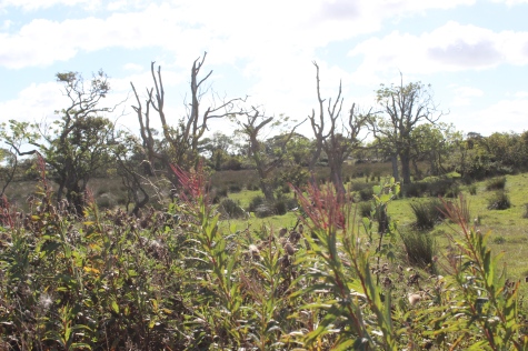
A
Land/Farm boundary mound.
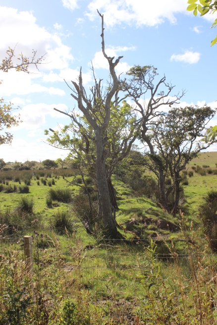
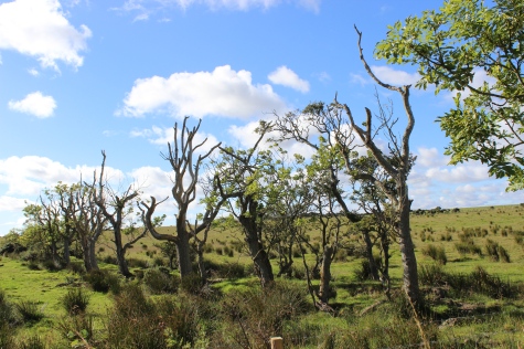
A
Farm/Land Boundary Mound.
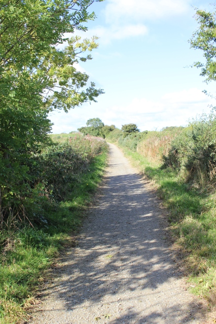
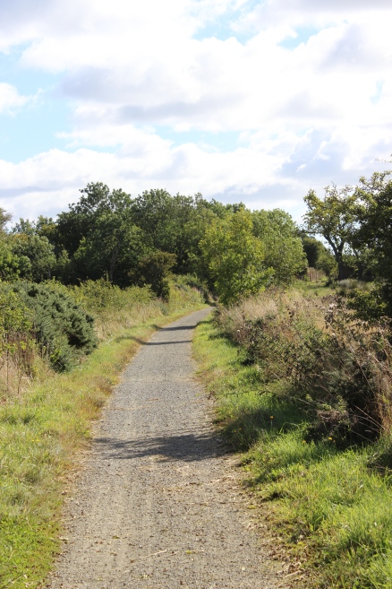
Left:
Looking back towards
Maud.
Right: Towards Peterhead.
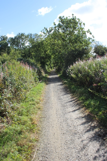
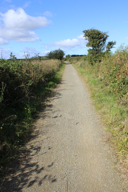
Left:
Towards
Peterhead.
Right: Back towards Mintlaw.
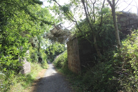
This
over bridge was a farm access road between Ellishill House to the
north
side and to the country road on the south side by Meadowbank Farm.
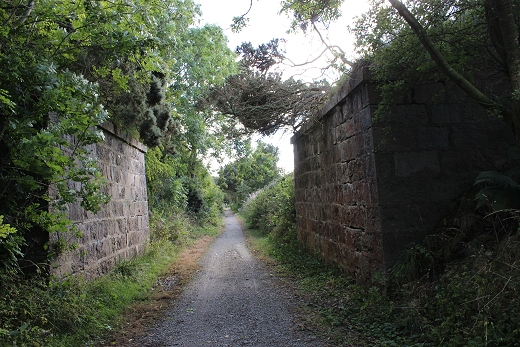
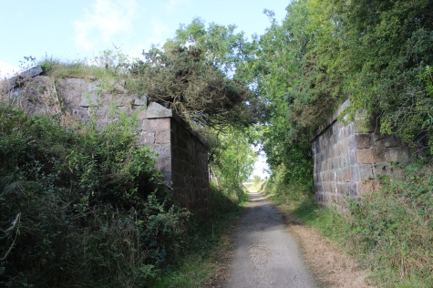
Towards
Peterhead and to Newseat, respectfully.
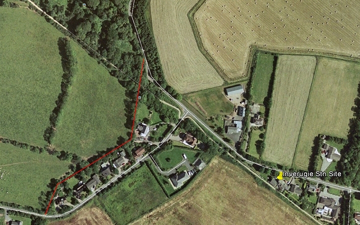
Google Earth view. Th red line shows that path that the old road
used to take.
The
path via Thorndale House which the over bridge above, crossed the
railway. As mentioned, I found no sign of this
path
or the culvert below the railway. Google screen grab).
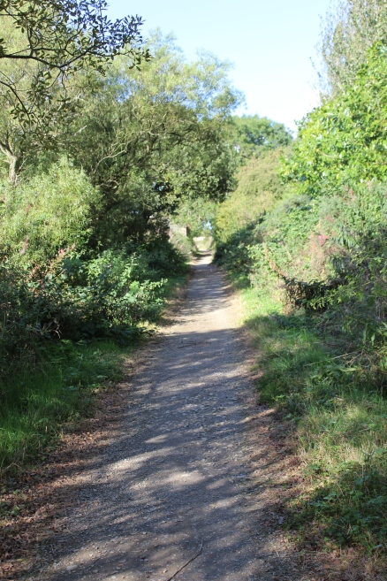
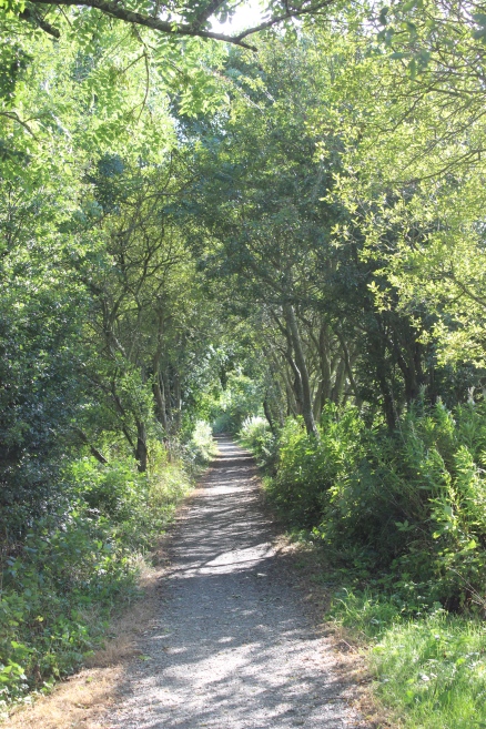
Left:
Towards
Newseat.
Right: Towards Inverugie station site.
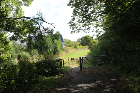
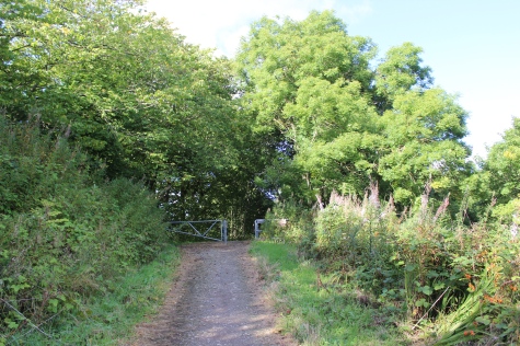
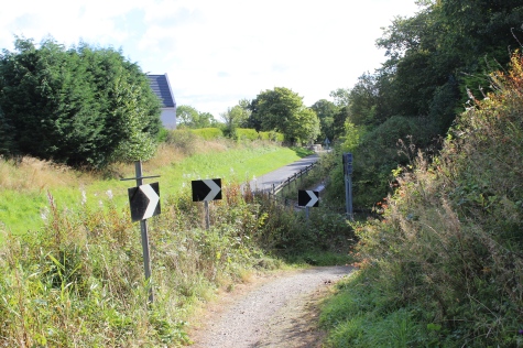
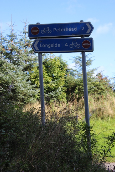
The bridge over the south end of Inverugie station has been demolished and again, you have a short detour to get back onto the north side of the track bed.
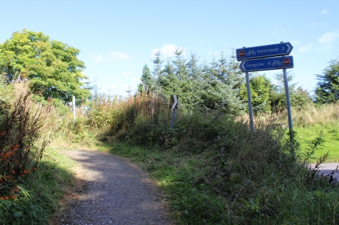
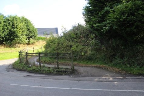
Left:
Coming off the south side of the track bed. Right: Crossing the road
onto the south side. Beware of traffic from your right that
approaches from a bend.
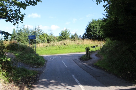
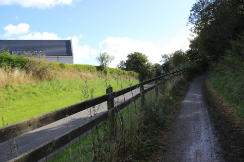
Left:
The gap left by the demolished over bridge. Right: The new path to get
back up onto the north side of the track bed.
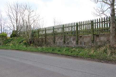
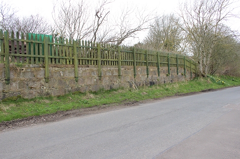
During
my April 2017 walk I decided to walk along the road and photograph the
remains of the platform that edged right up to the road side.
This would have ben an interesting spot to watch the trains while
stopped in the station.
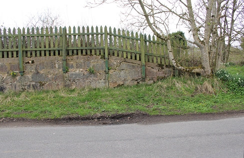
Left: By the ramp at the south
end of the
platform.
Right: By the end of the ramp, from the brake van of the final clearing
up train. (Video Screen Grab).
Back onto the track bed to continue the walk towards Peterhead. Update 13th April 2017.
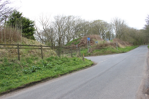
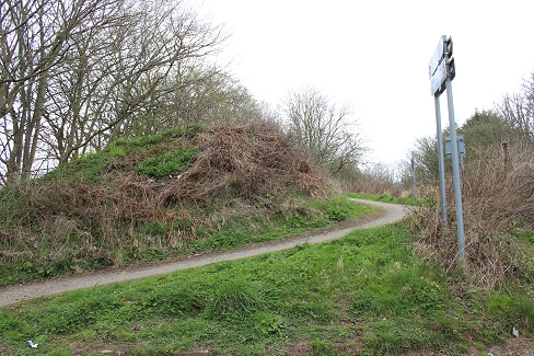
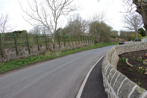
The station platform from the
road side.
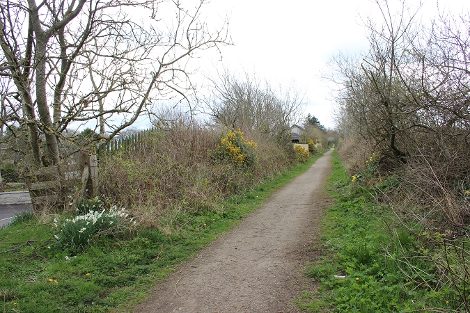
You immediately come to the same
spot as in the video screen grab, above. It's still quite recognizable.
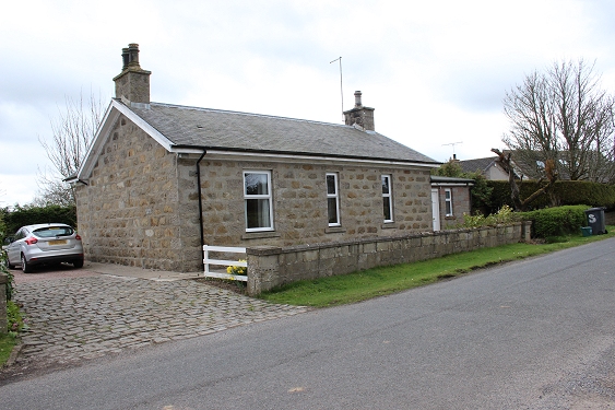
Ex Station Master's house.
INVERUGIE STATION SITE
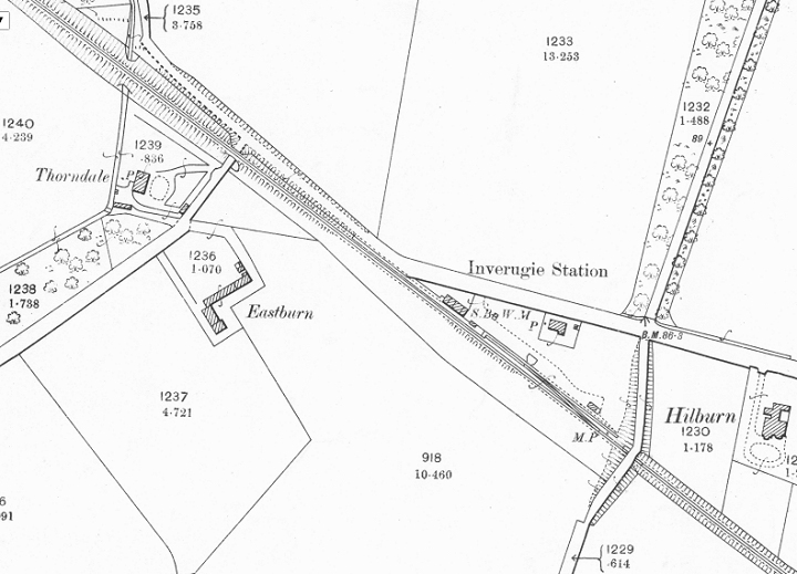
Inverugie
station was a good mile south of the village. It was a single line
platform with the standard design of GNSR buildings. There was
a bay platform at the north end for loading and unloading of
goods. The station Master's House is in use as a private
residence.
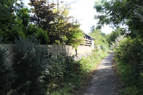
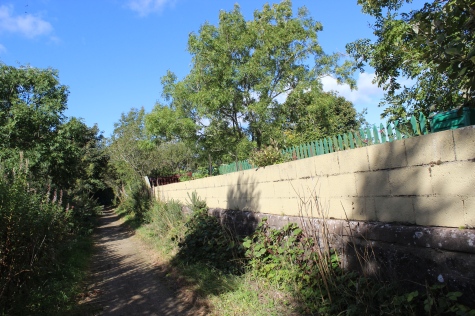
Left:
Towards Peterhead. There are no station buildings
remaining.
Right: Back towards Maud.
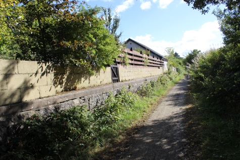
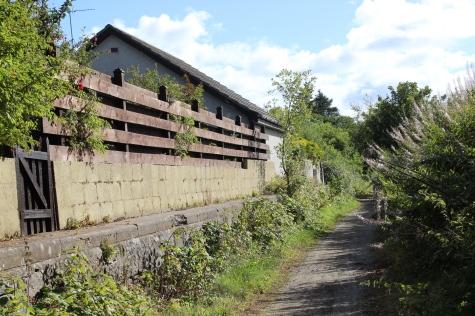
Modern
homes have been buit right up to the platform edge.
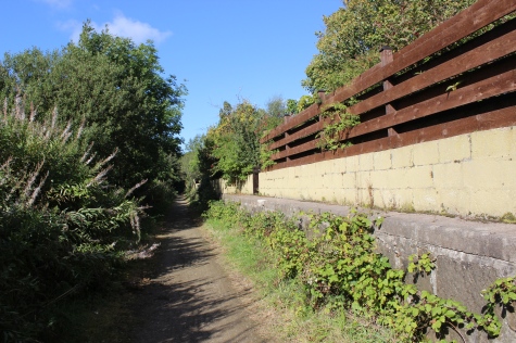
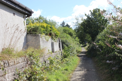
Left:
The ramp at the north end of the platform where the Goods Bay
extended from. See below.
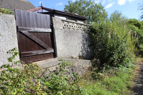
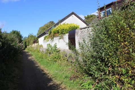
Left: The north end platform
ramp.
Right: Looking back towards Mintlaw.
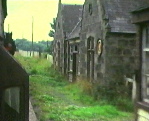
Running past the station building with the final clearing train.
Close to the scene
as above right. (Video Screen Grab)
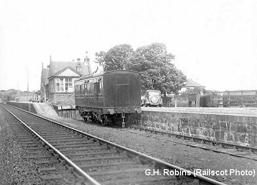
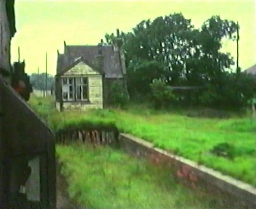
Left:
North end of the station, showng the Good Loading Bay, with a parked
passenger brake Van, in 1955. Right: The loading Bay, signal
box and station in a
delapidated
condition as seen from the final wagon clearing train brake van in
1979. (Video film screen grab).
From
the north end of the Station site, towards Peterhead and bridge No.
734. The garden, on the
Ex Goods Siding site looks well kept. The nearest tree, on the left is
where the signal box stood at the
end of the platform. The Goods Loading bay extended off the passenger
platform, towards the bridge.
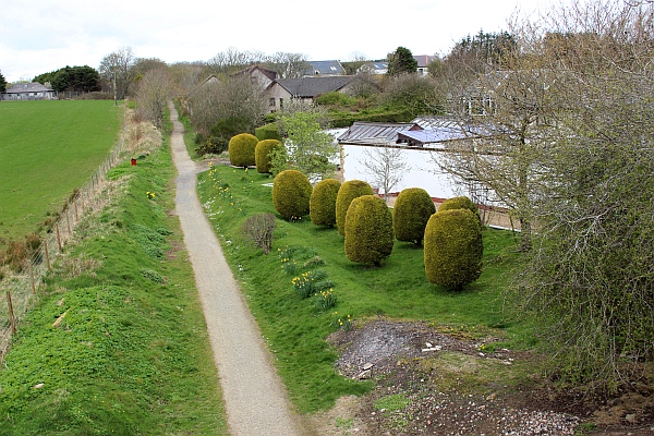
Inverugie
station from the over bridge. (Photo from Google)
Inverugie
stn site google. April 2017.
 0842bInverugieStnSite(25thSept2015).jpg
  0844InverugieStnSite(25thSept2015).jpg
The
road runs between Mount Pleasance and Berryhill farms. North to south.
Right: The owner of the house is working in the garden, where
the track used to run into the Goods Yard Bay or into the passenger
platform.
 0843InverugieStnSite(25thSept2015).jpg
The
house owner has also kindly reainted the bridge number, that had been
fading. With such a large number he wondered where bridge number one
was situated. I would think the number or represented of how many
bridges,
up to that point were on the whole of the Great North of Scotland
System.
 0845InverugieStnSite(25thSept2015).jpg
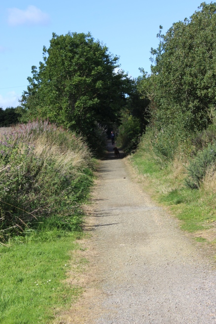
Left:
A final look back at the station
site.
Right: Same spot towards Peterhead.
================================================================
Back To Index Back to Home Page
Railscot: https://www.railscot.co.uk/ Excellent web site on Scotland's railways. Maps, photos and historical details.
This
page brought to you by:
VintageHammond.Com - We Buy-Sell-Trade Vintage Hammond
Organs and Roll or Kari Organ/Vending Machine Moving Dollies Order Roll or Kari Dollies Here