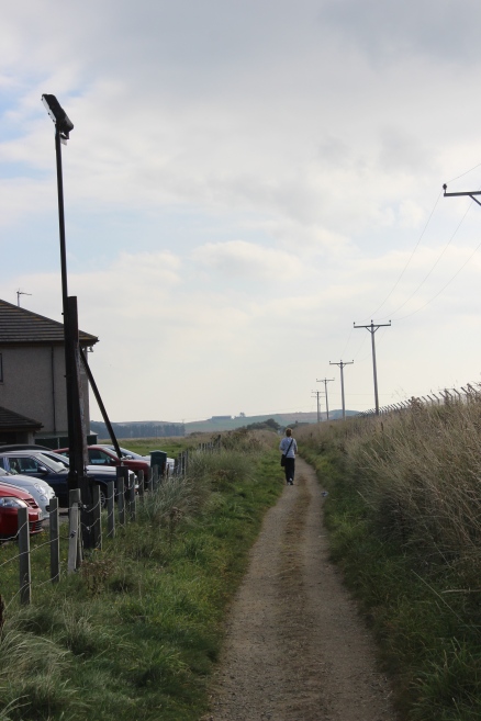
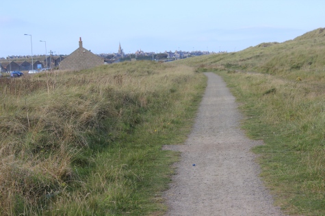
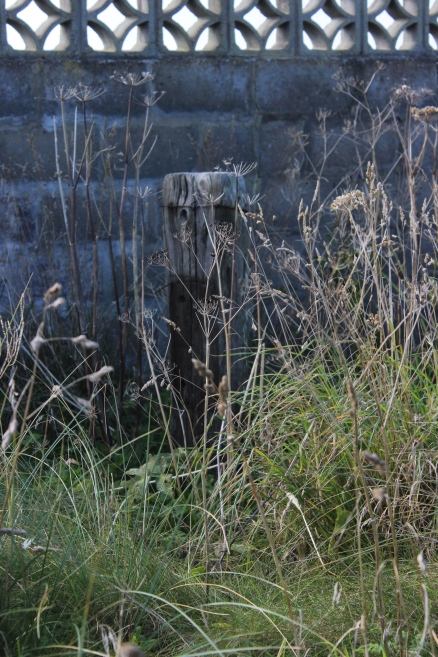
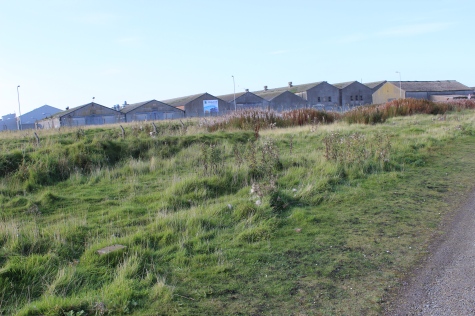
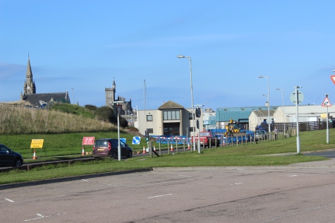
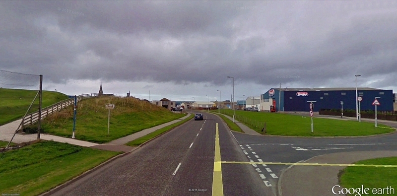
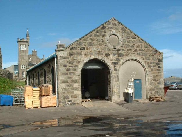
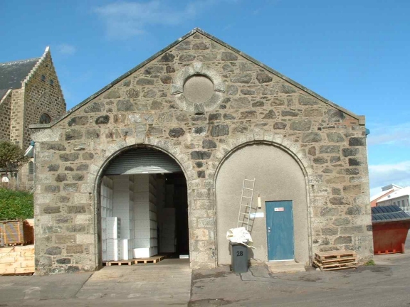
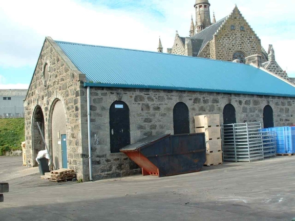
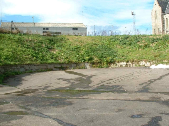
The Kirkton end of Fraserburgh.
Back To Index
STRICHEN TO FRASERBURGH WALK
(2nd of October 2015)
PHILORTH HALT TO FRASERBURGH
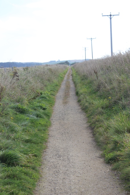
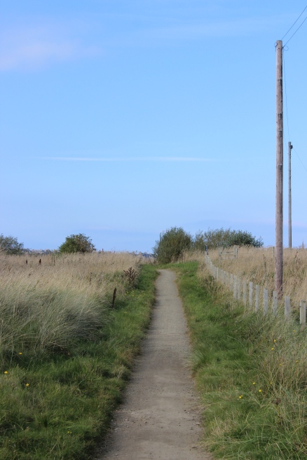
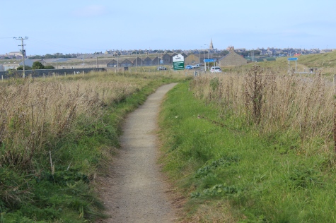
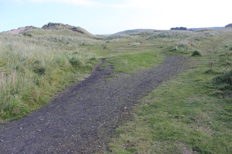
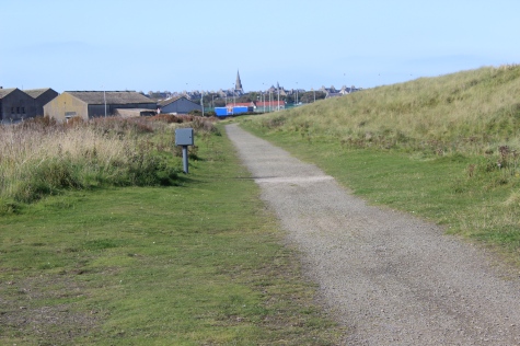
From just north of Rathan it is almost dead straight all the way to approaching Fraserburgh. There are a number of long straights over the route but this last
2-3 miles just seemed to go on forever as you could see just about every step you have to make in front of you and into the distance.
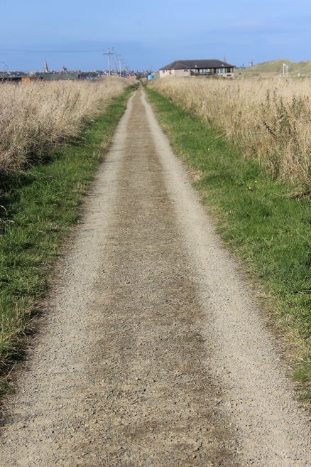
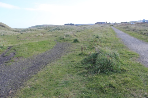
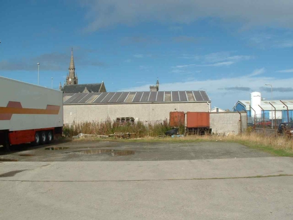
The
Kirkton end of Fraserburgh.
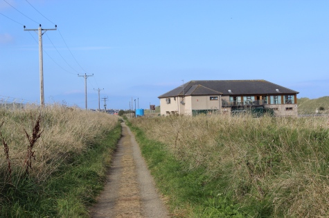
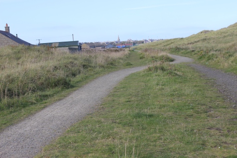
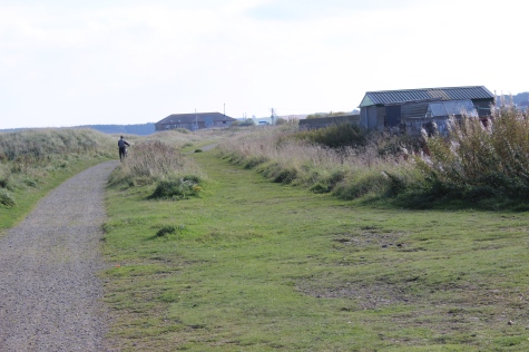
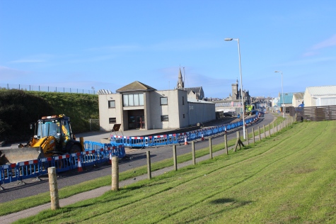
Approaching
the golf, Club House to the south of Fraserburgh.

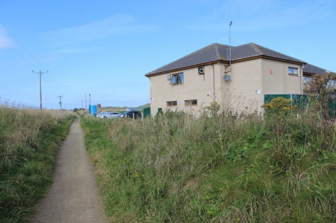
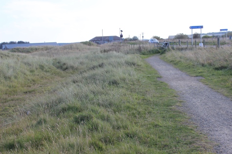
Left:
Back towards Philorth
Halt.
Right: Passing the club house and up to the level crossing.
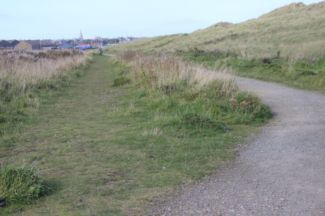
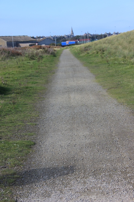
Left:
back, along past the Club House, towards Philorth
Halt.
Right: Northwards towards the present road crossing.

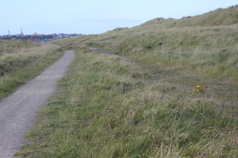
In
the distance you can see the line of factory buildings that were once
connected to the railway
and created many jobs for both Fraserburgh and the railway.
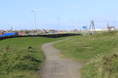
The
final crossing, where the new road starts to take over the final mile
or so of the track bed into Fraserburgh. It had been 10.5 miles
since starting the walk and still a
mile to
do.
On
the opposite side of the road you come up to the site of Kirkton Halt
and the junction with the St. Combs branch.
Kirkton
Halt (Fraserburgh). (GNSRA Photo). I believe that is the 'older' golf,
Club House on the right.
N.B.
The two white marker posts, used as stopping marks for the very short
platform during poor
weather
and in darkness. There was no platform lighting.
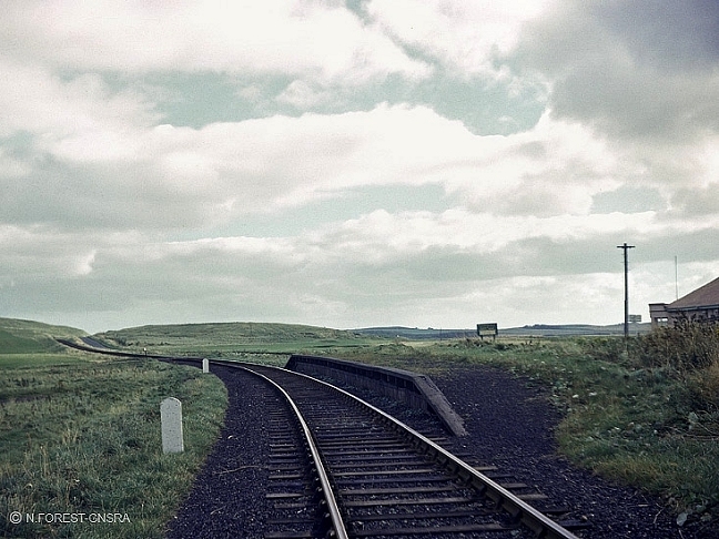
The
two track beds run side by side to the Junction point. Right:
Southwards, the St. Combs track bed on the left and the Fraserburgh
branch heading south on the right.
A
railway sleeper spotted in the undergrowth.
Ex
Junction with the St. Combs branch (Left). Kikton Halt platform.
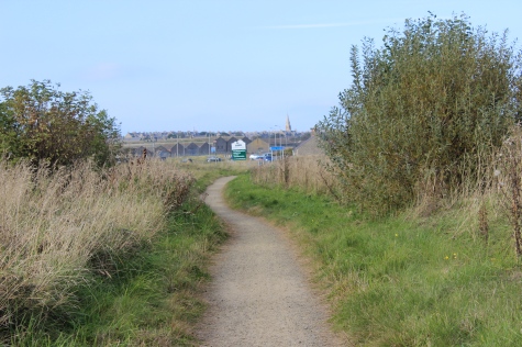
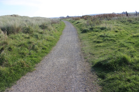
Last
mile into Fraserburgh.
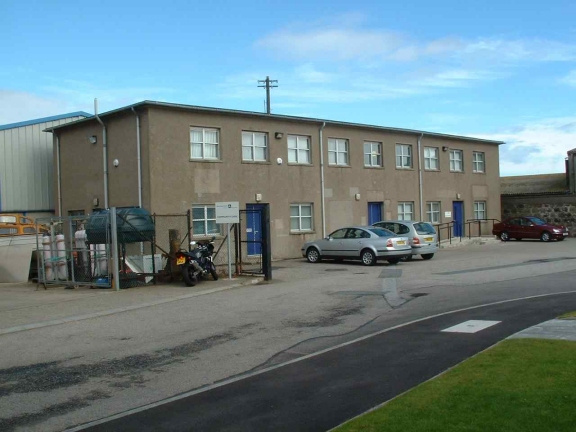
Left:
The Fraserburgh Tool Works that was linked to the branch and was a
busy place at one time. The buildings are used as various types of
light industrial Units today.
Left:
back towards the Club house. Right: The beach restuarant, second
building ahead. Where I made a Bee line for some really wanted
refreshment.
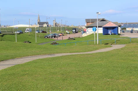
Approximately
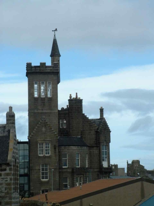
where the old road over bridge sand signal box stood. The track bed up
to the station terminal followed the grassy embankment up to just
outside Dalrymple
Hall,
who's tower is seen in the back ground, with the South Church up on
the far left. Everything to the right was the large Goods Yard with
it's long Fish platform
and
numerous sidings.
The
over bridge at the south end of the station must not have been built
until between 1913 and 1937.
It
is shown on this 1937-61 NLS Map.
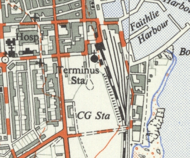
The
over bridge at the south end of the station must not have been built
until between 1913 and 1937.
It
is shown on this 1937-61 NLS Map.
The
site where the over bridge stood. The signal box would have been on
the right. (Google screen grab). It's difficult to take in
that
everything in front of you was all railway.
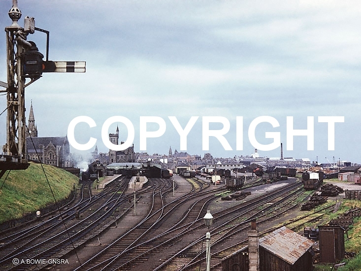
A
fine scene of how the whole layout looked from the over bridge. (A
GNSRA Photo). Across the scene, from left to right
you
see a loco on the loco depot, the three platform faces, including the
St Combs platform on the right. Then the Goods
Shed
and the numerous sidings that made up the Goods yard and Fish dock
platforms. The only two things remaining
today
is the locomotive shed and part of the Goods Offices, seen running
left to right in the distance, center right.
I didn't take any photos of the station area on this occasion. Here are a few taken back in 2005.
Fraserburgh Loco Shed. The platforms were
where the cars are parked on the right and the Fish Yard just beyond.
The building behind the shed stand on what was the entrance to the
station,. just in front of Dalrymple Hall.
The loco shed is in use by a fish company and
is in excellent condition. The roof was badly damaged in a fire but was
completely rebuilt.
Left: Just to the left of the shed can be seen
the remains of where the turntable stood.The South Church is in the back
ground.
Right: Remains of the turntable.
Left: Where the platforms
lay.
Right: The departure view from the north end of the platforms
Left: Where the station entrance stood with the
view immediately in front of the Dalrymple Halls
Right: The Employment offices stand where the station entrance and
buildings stood, with South Church as the backdrop.
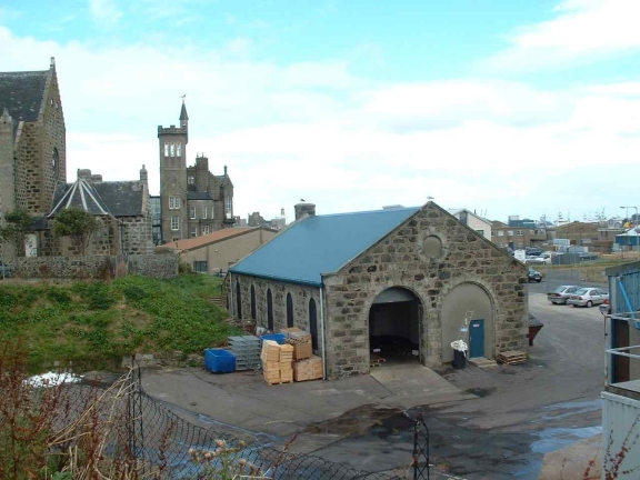
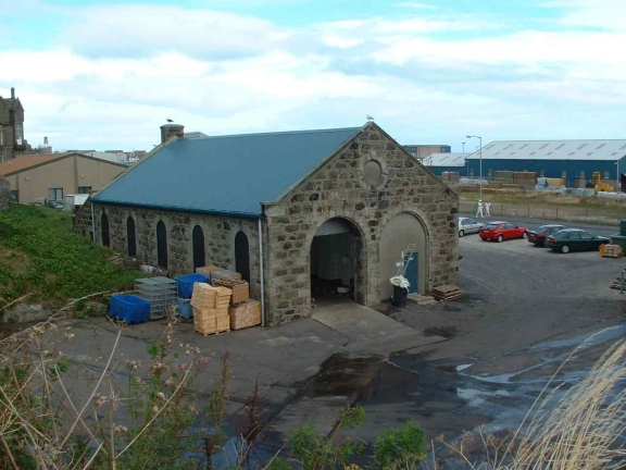
Left: The Goods Office and Shunter's
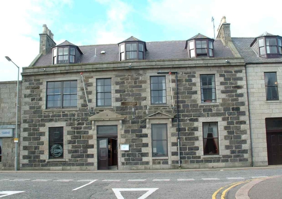
bothie at the harbour end of the Goods Yard. Right: The Station Hotel.
================================================================
Back To Index Back to Home Page
Railscot: https://www.railscot.co.uk/ Excellent web site on Scotland's railways. Maps, photos and historical details.
This
page brought to you by:
VintageHammond.Com - We Buy-Sell-Trade Vintage Hammond
Organs and Roll or Kari Organ/Vending Machine Moving Dollies Order Roll or Kari Dollies Here