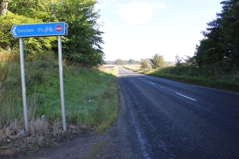
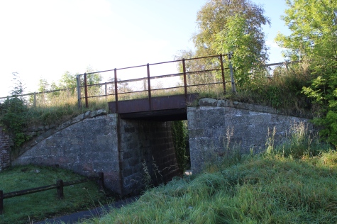
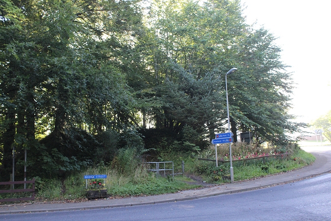
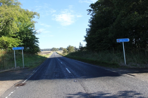
For this walk I took the bus from Aberdeen out to Strichen then joined the railway track bed just to the south of the Station site,
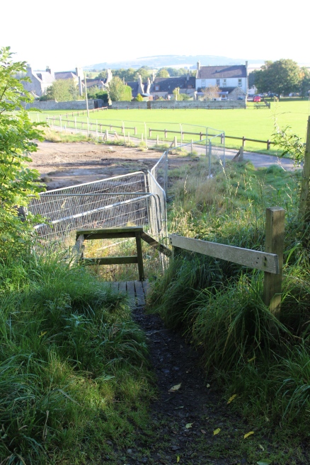
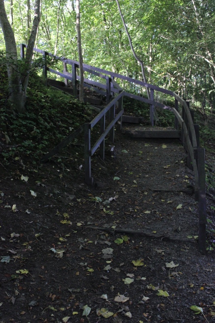
where by luck there ws a bus top just alongside. A short walk from the bus to the over bridge at the embankment, where some
wooden steps took me up onto the track bed. This was the longest of my four walks, at 17 miles from Strichen to Ellon. The walk
started at 09.20 and I arrived at Ellon station site at 17.34. The weather remained bright and sunny all day and added to the
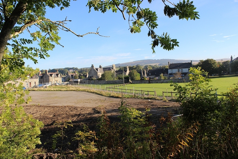
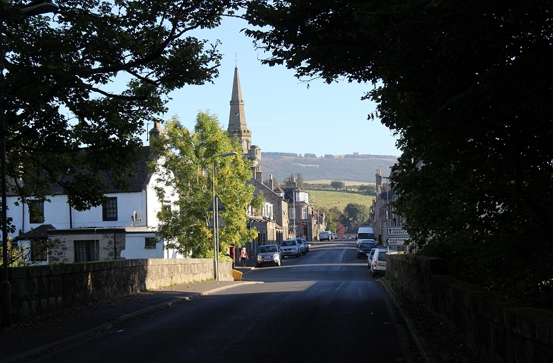
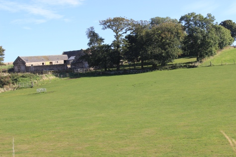
pleasure of the walk and the countryside around. There is some very pleasant country scenes and Strichen itself is a very attractive
small town, set by the Ugie Water (Burn) and Mormon Hill as a background.
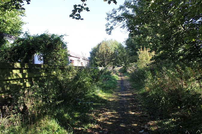
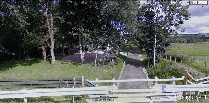
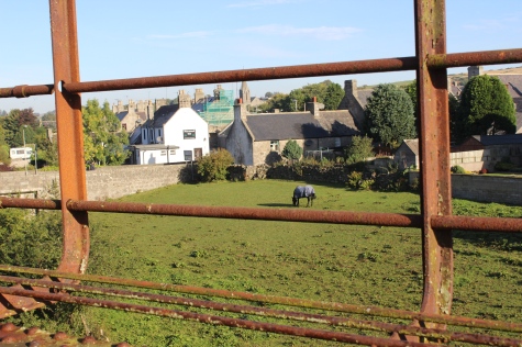
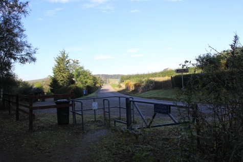
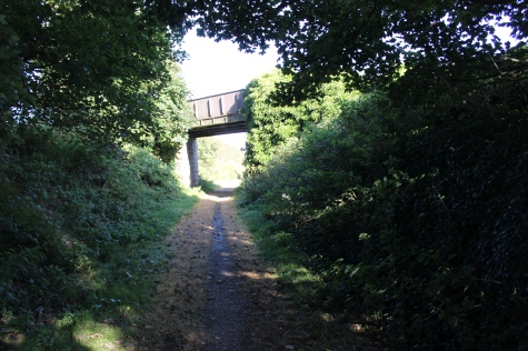
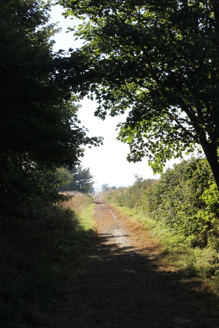
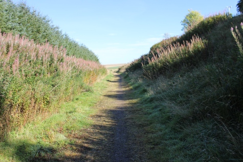
From the track bed. Where I joined the track bed from the bus. The stop is on the main road by the white house to the right.
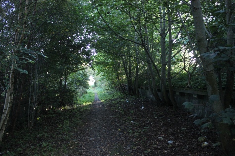
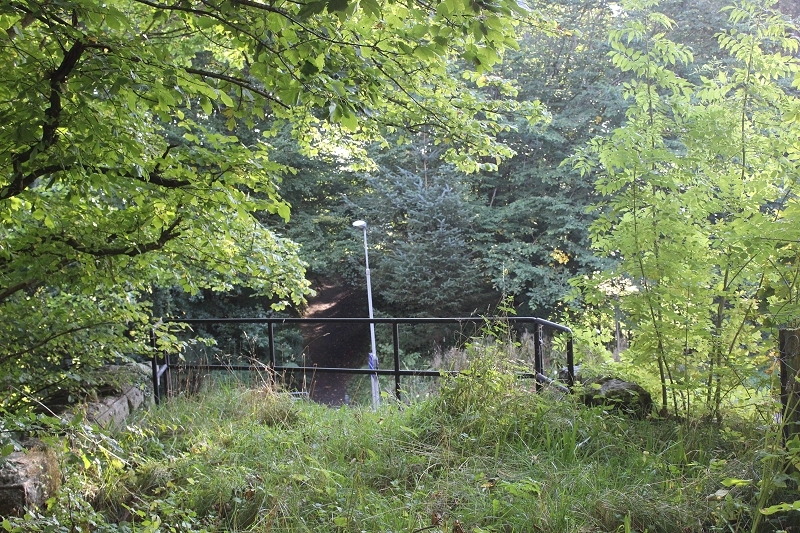
The path leads in, following the fence and onto the path that drops below the over bridge. The empty space below was the
site of a school that you can see marked in the old map below.
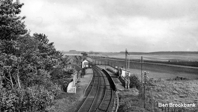
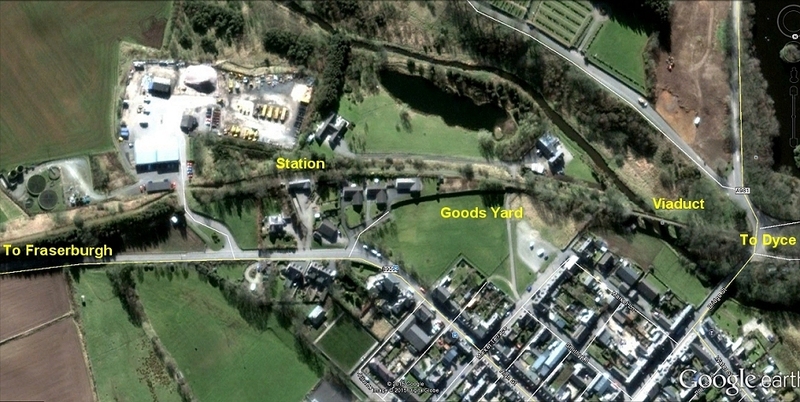
Strichen station site, from Google Earth. Coming in from the right, past th sewage works, over the site of the demolished bridge and
into the station. The station is central with the entrance of the road seen in line with the staton building. The goods yard entrance just
to the right of that, You see the bus stop and the entrance along to the right where a path leads to the rear of the houses then you
walk across the green area towards the under bridge, with the wooden steps by the embankment to the right. Further to the right is
the viaduct over the Ugie Water nd further to the right, where you drop to road level, where you cross the road and find the steps
leading back up onto the south side of the track bed then southwards towards Ellon.
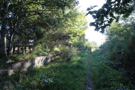
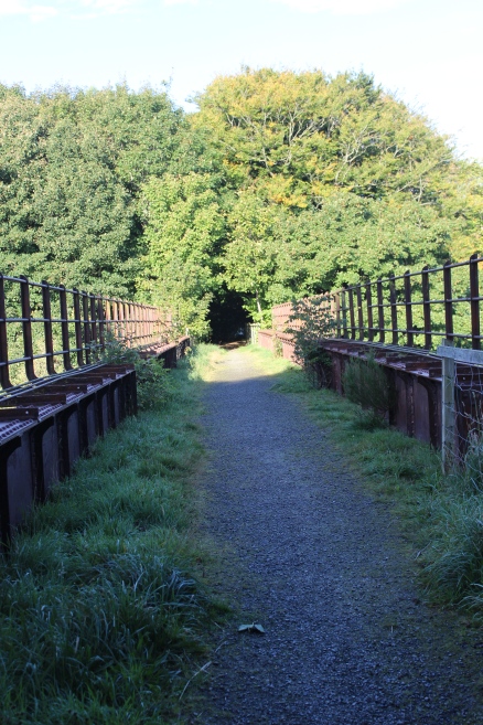
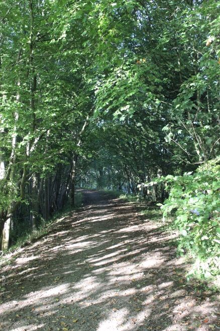
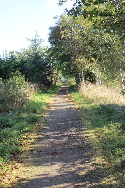
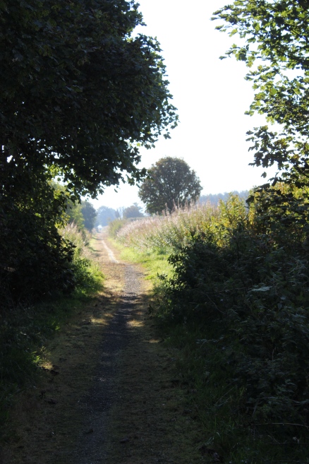
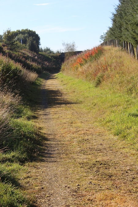
On the track bed at the top of the wooden steps, looking back on the
walk from the bus stop.
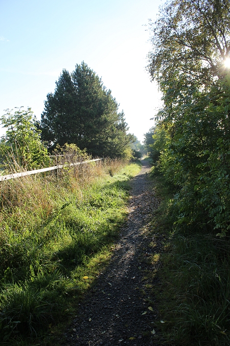
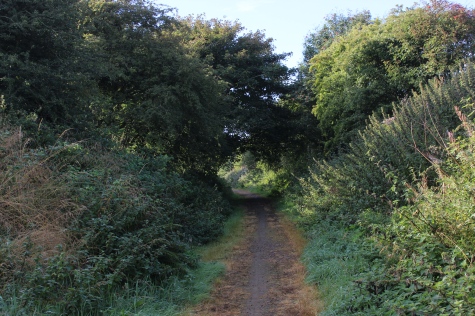
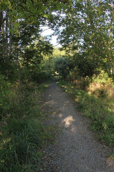
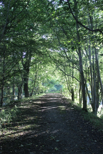
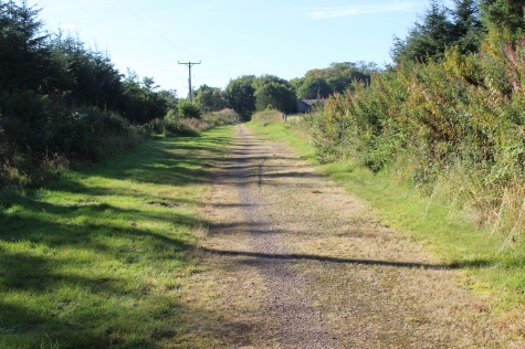
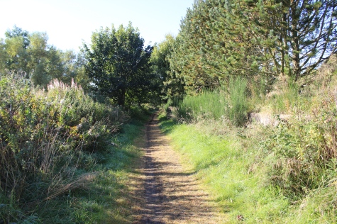
Once on the track bed you turn left to walk northwards for a few yards towards the station site.
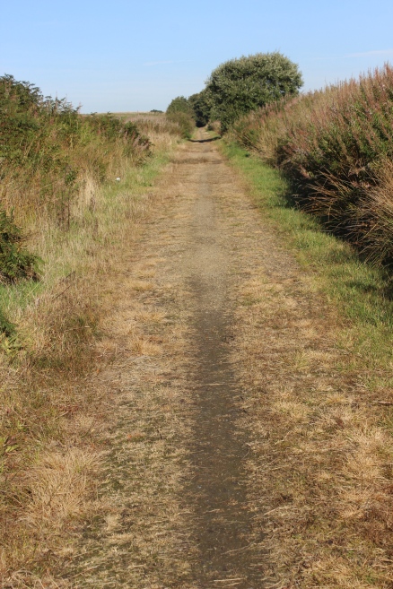
Left: Track bed towards Strichen station site. Right: Southwards towards Ellon.
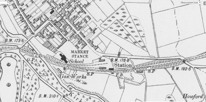
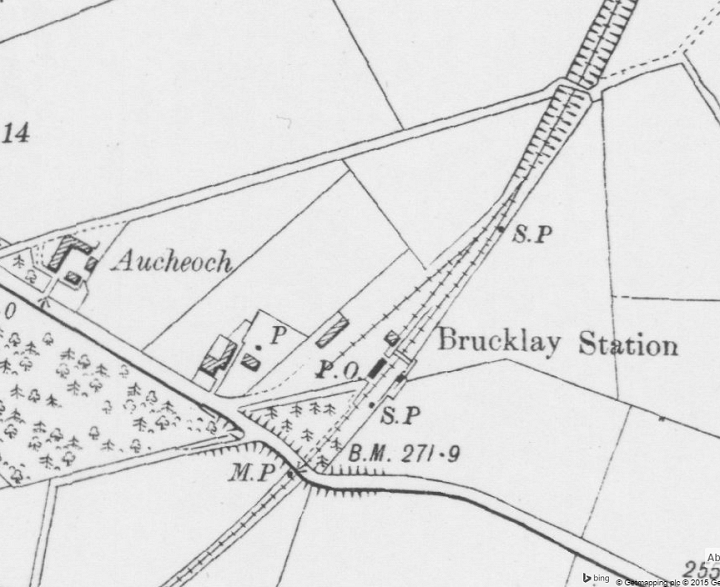
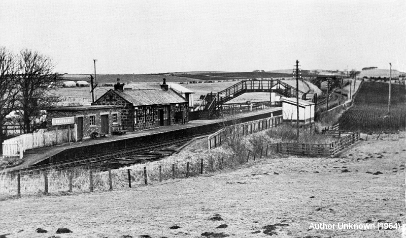
Strichan Station Layout (NLS Map)
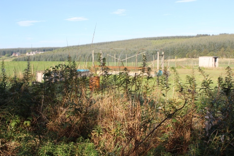
From the north end of the viaduct, where the Goods Yard branched off to the left and dropped down into
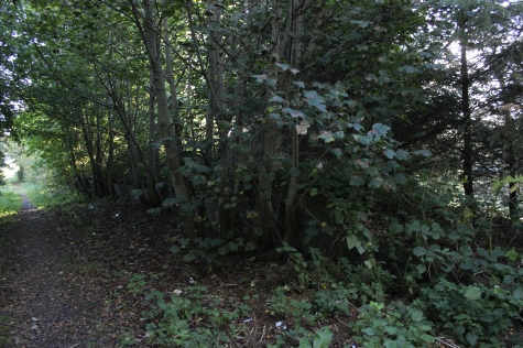
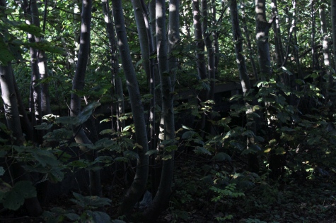
the sidings. This view is totally impossible today due to the heavy overgrowth. You don't know you have
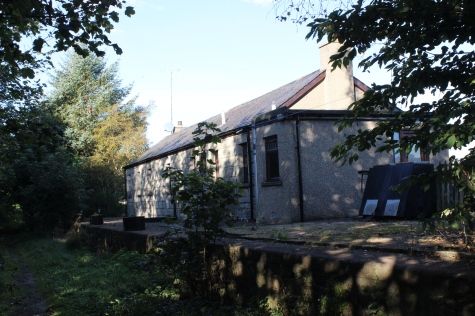
reached the station site until you suddenly spot a short section of platform within the overgrowth. Thankfully,
the station building area is a bit clearer. I remember having to change single line token with the signal man.
Going north, as the train was slowing down to stop in the platform you exchanged the token from the cab
door, the signalman would be at track level by the platform ramps. On the Up the next change was made on
the platform, level with the signal box.
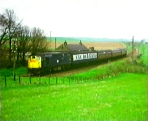
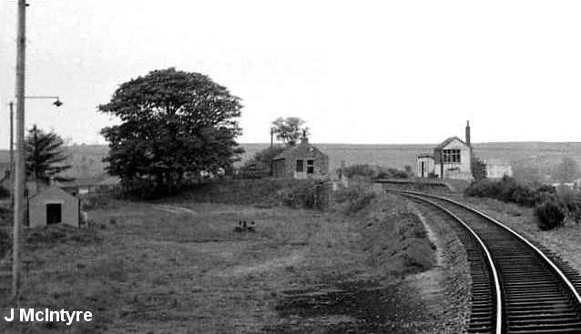
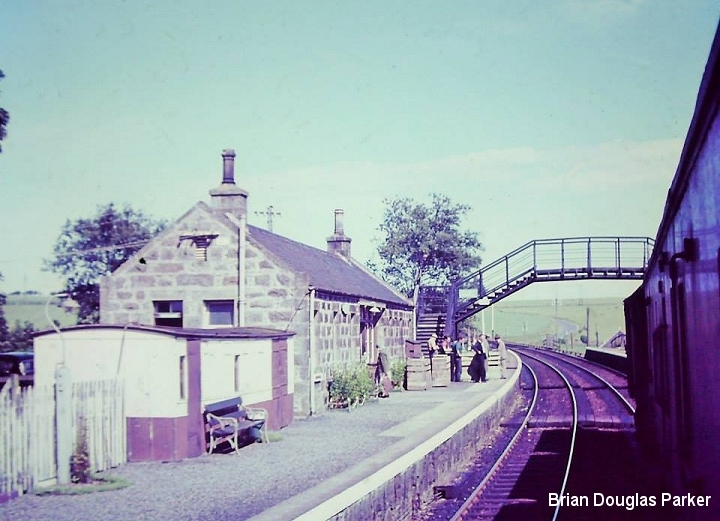
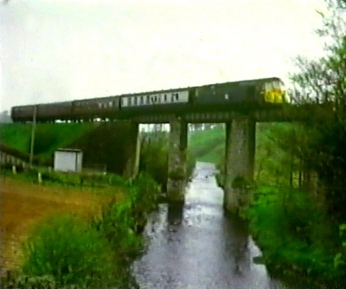
From the main road. An Up passenger train departing from the station. In the
60's. (Video screen grab).
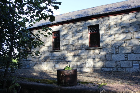
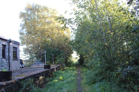
You suddenly realize that there really is a platform form the whole length of this heavily wooded section. This is the Up Platform. The signal box stood
on the platform at this spot.
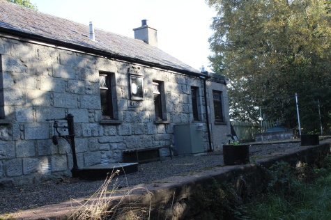
Left: The station building, including a weighing machine. Right: The station footbridge end of the Down platform.
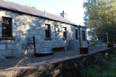
Left: The station building, including a weighing machine. Right: The station footbridge end of the Down platform.
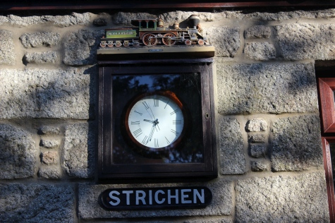
Close to the photos above. An excellent colour photo by Brian Douglas Parker.
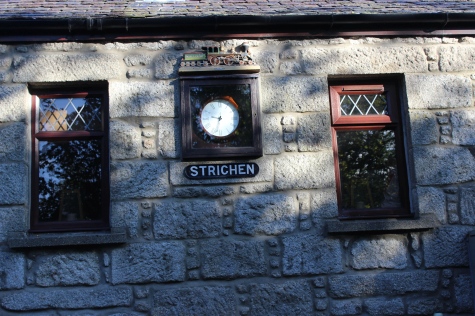
Nice touch with the new window frames and the clock matching together. Pity about the American locomotive, an Ex GNSR loco would have
been nice.
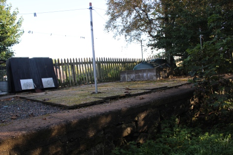
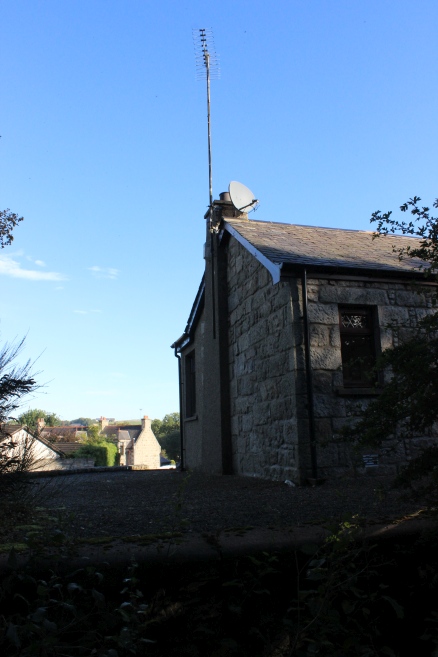
Left: Base where the Station Footbridge stood. Right: Station building from the same spot, towards Maud.
Left: The Down platform, towards the north Ex over bridge site. Right: Up platform towards Ellon.Both views towards Ellon.
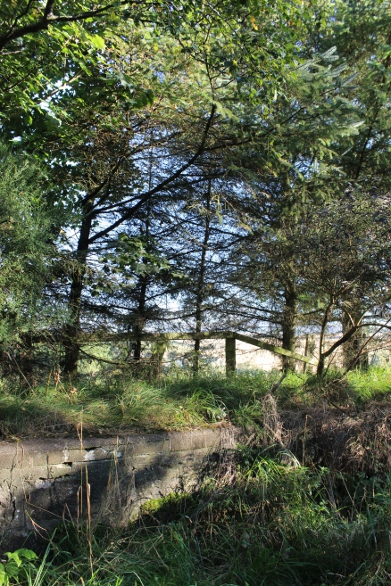
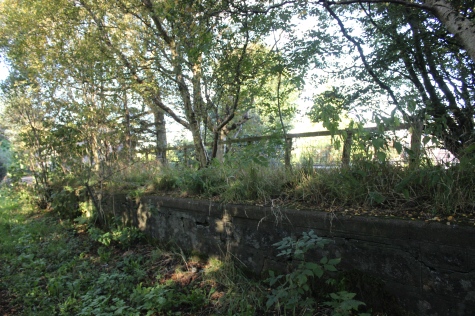
More of the Down platform edge towards the north end of the site.
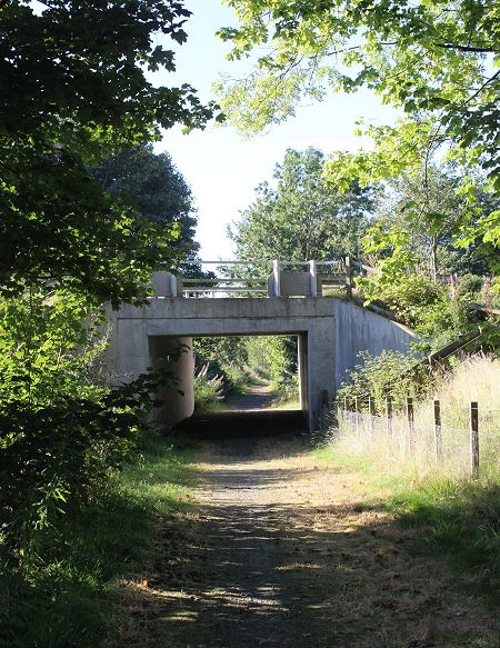
I walked up to where the track bed had crossed the road at the north end of the station.
As this day was for walking to Ellon, I turned back from this point, leaving
"Strichen To Fraserburgh" to another day.
The Down platform. The Up platform is hidden in the trees to the left.
Left: The Up Platform. Would hardly know it was there! Right: Down platform an station building.
The Down platform and the south end of the station building.
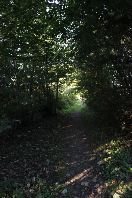
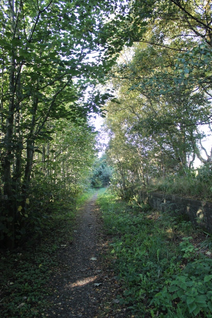
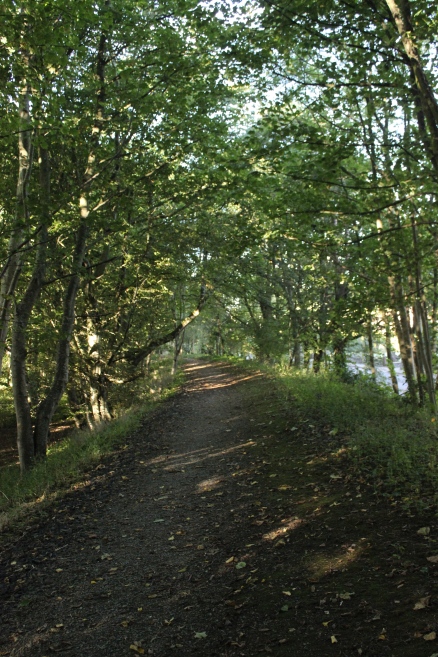
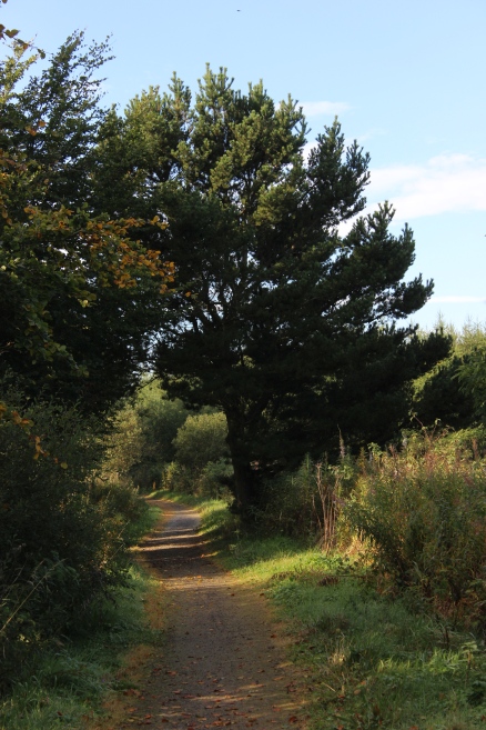
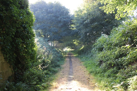
Leaving the gloom of the station site and heading towards Ellon. The signal box was was on the end of the Up platform (On the left).
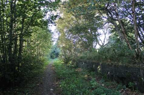
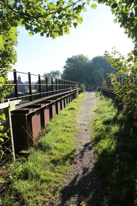
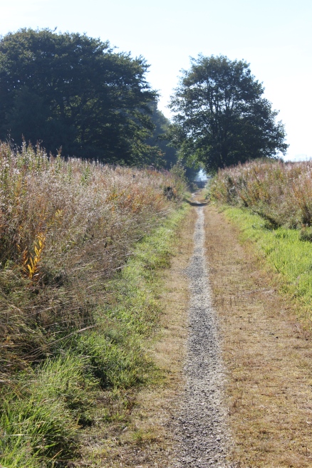
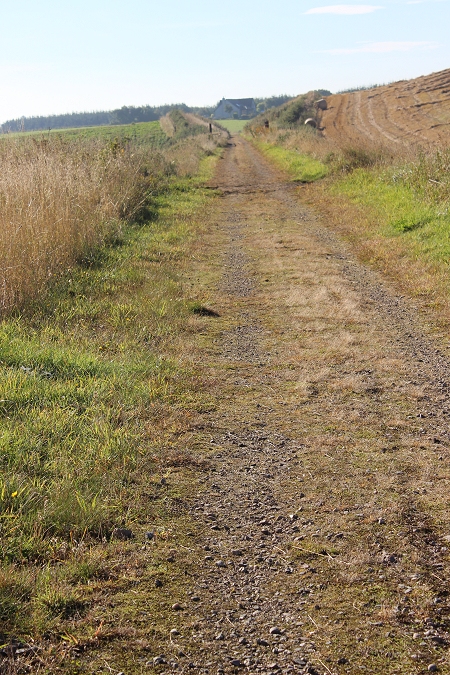
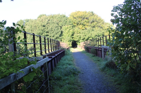
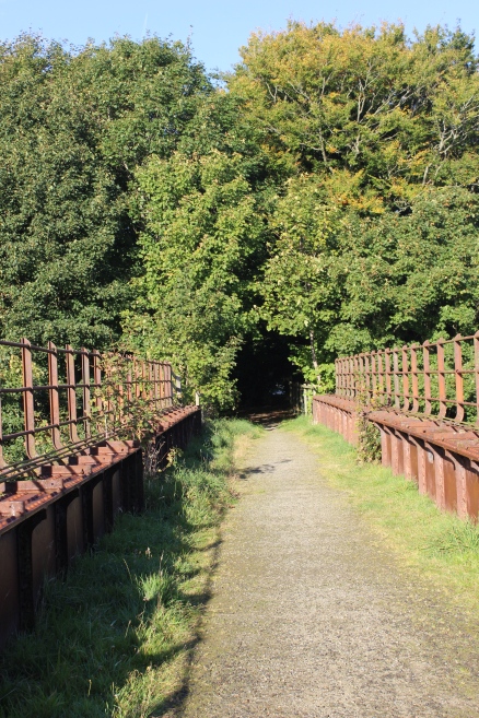
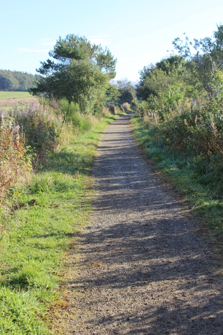
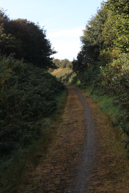
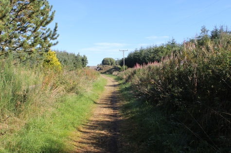
Track bed southwards, towards the viaduct.
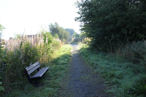
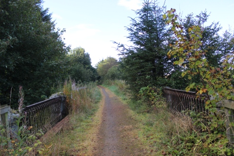
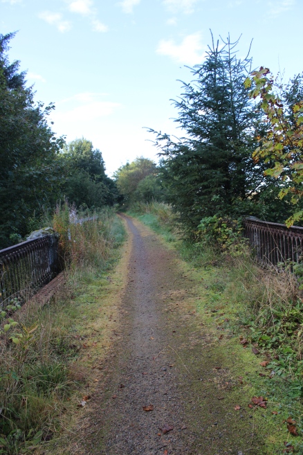
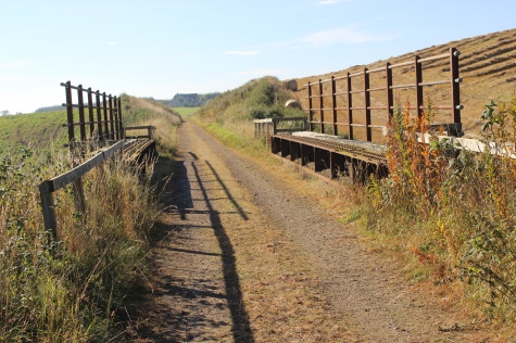
Left: The seat is at the point where I first got up onto the track bed. Right: Looking west from the north side of the viaduct.
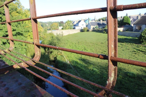
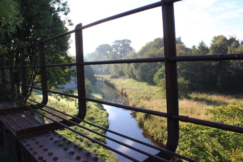
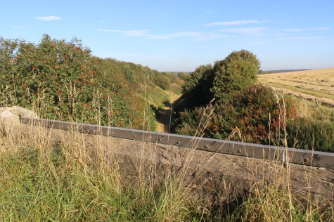
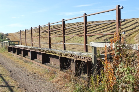
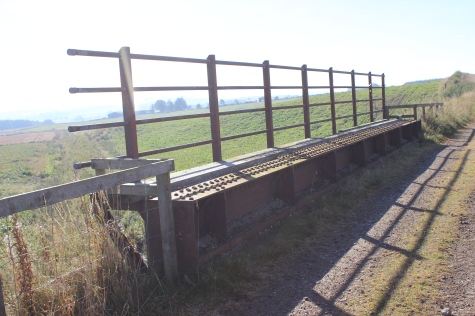
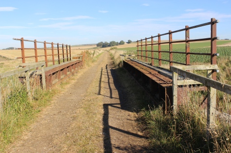
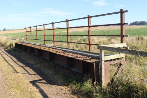
Left: North side of the viaduct. Right: The Ugie Water looking from thye south side of the viaduct.
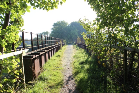
Southward view along the viaduct, towards Ellon.
View from the west side of the viaduct. Right: From the east side of thew viaduct.
Northward view along the viaduct, towards the station site.
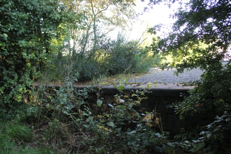
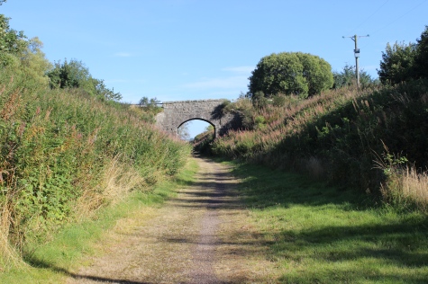
South end of the viaduct and towards the demolished over bridge
on the A981.
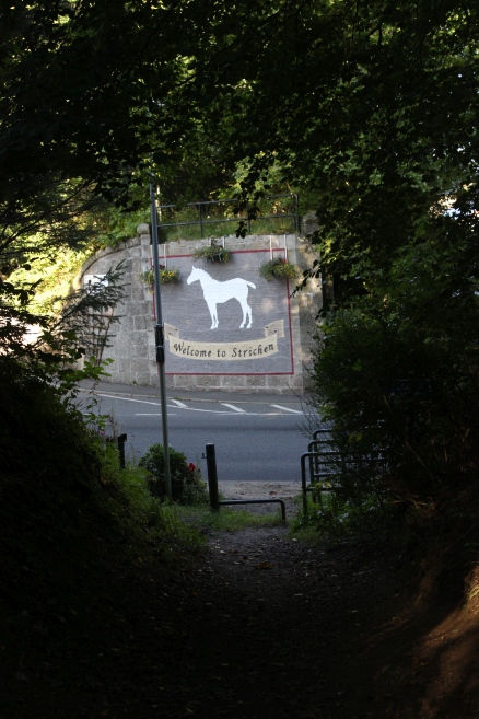
Left: The demolished overbridge at the south end of Strichen Station, over the A981. The Mormon Hill White Horse is dedicated on the
south side buttment. Right: The way back up onto the south side of the demolished bridge, on Old Brewery Road.
Looking northwards through the town's Bridge Street, from the site of the demolished over bridge, with the bridge over the
South Ugie Water in the foreground. The white horse is seen on Mormond Hill.
Passenger train crossing the viaduct, for Aberdeen, in the 60's.
(Video film screen Grab).
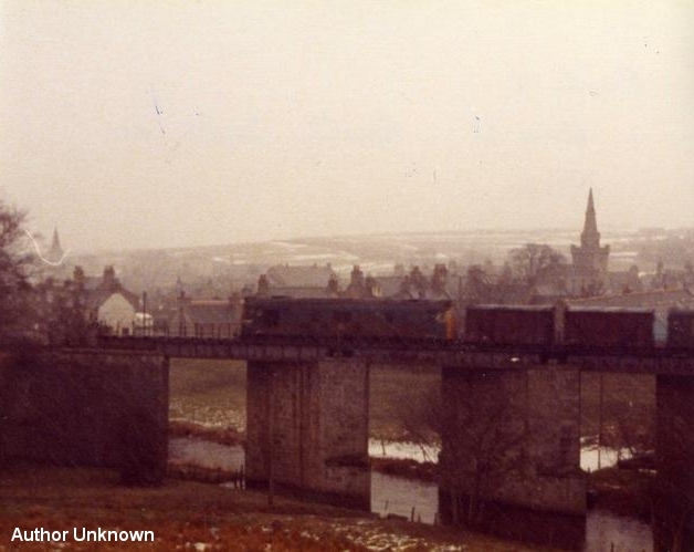
Down Daily Goods Train on Viaduct. 1970's. Taken from the east side overlooking the Burn.
(Author unknown)
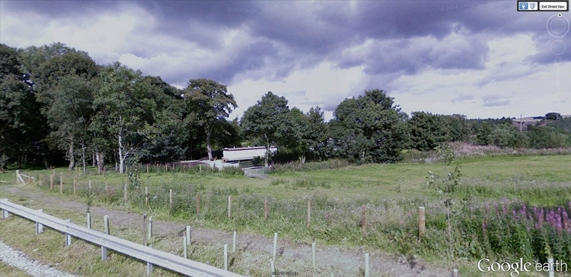
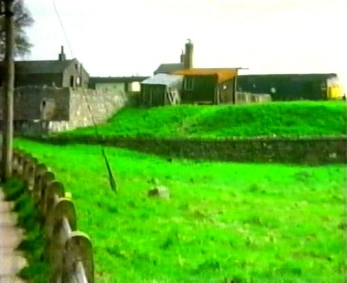
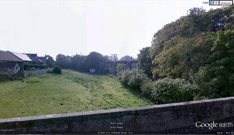
From around the same spot. Screen grab from Google, as the scene looks today. The viaduct has stood the
time well. However, as with the most of the UK since then, everything is quite overgrown.
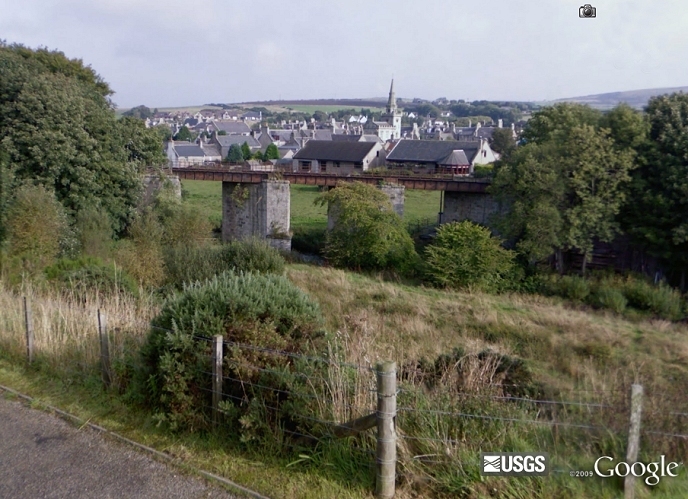
From the main roud south of the village. Looking north west. (Google Earth view).
The steps leading up to the south side of the demolished bridge.
Up on the track bed looking over the south end of the bridge and over the gap to the north side.
The White Horse is displayed on this side of the bridge.
From the same spot as photo, above right, looking southwards towards Brucklay.
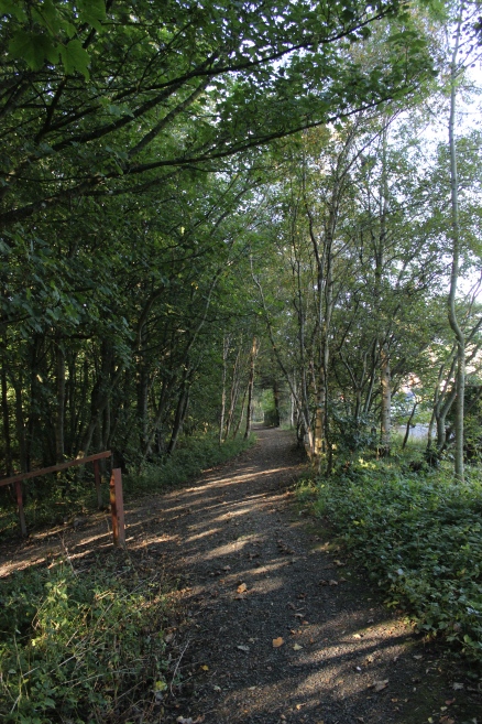
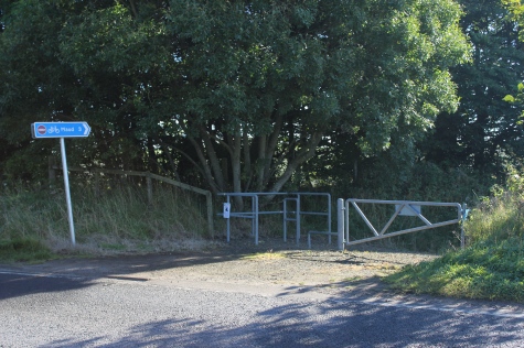
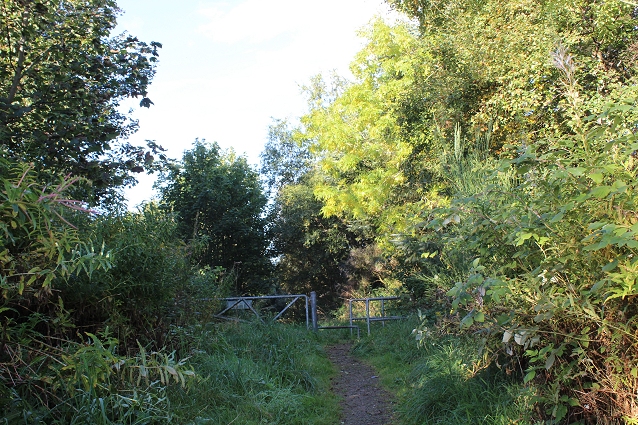
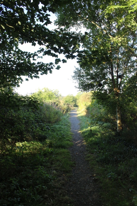
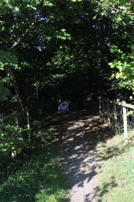
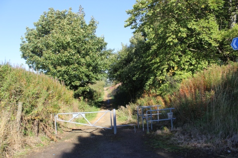
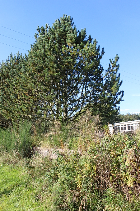
An entrance onto the track bed on Brewery Road that also leads to a path (on the left) that leads to Strichen Park and to the stone circle.
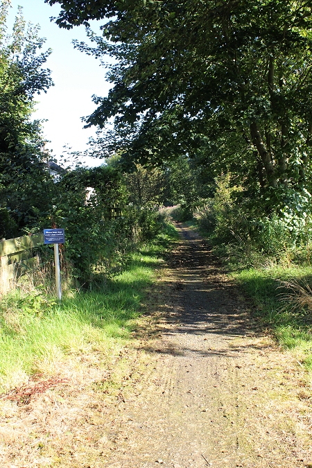
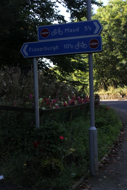
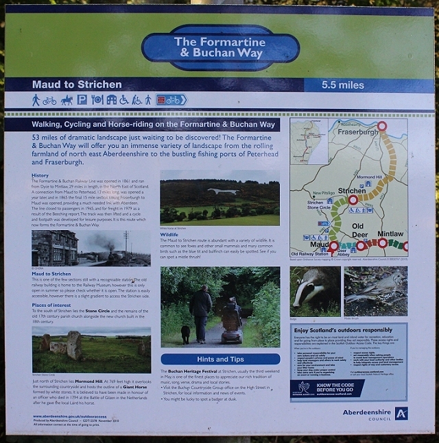
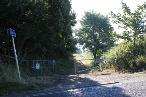
Information board at Strichen. Distance to Maud is 5.5 miles.
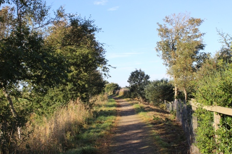
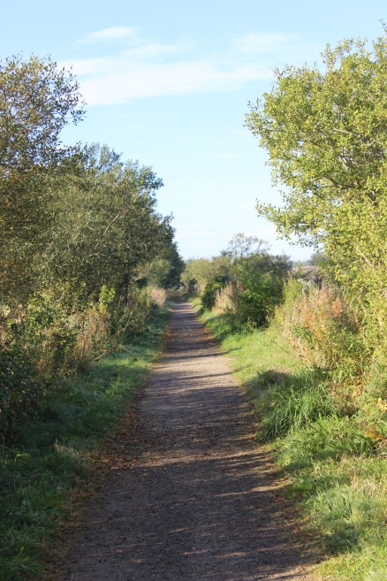
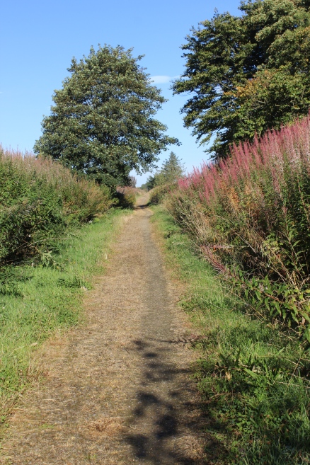
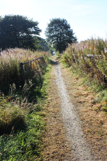
Left: Towards the station and the demolished over bridge. Right: Towards Brucklay and Ellon.
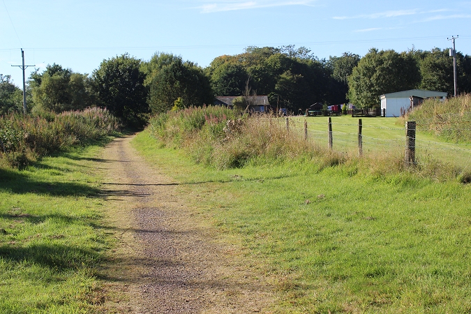
Towards Ellon.
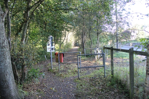
Left: TEntrance to the trck bed and Park from the main road.. Right: Access to the track bed and for the path to Strichen park.
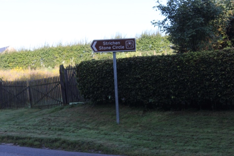
Local point of interest that would be worth a visit.
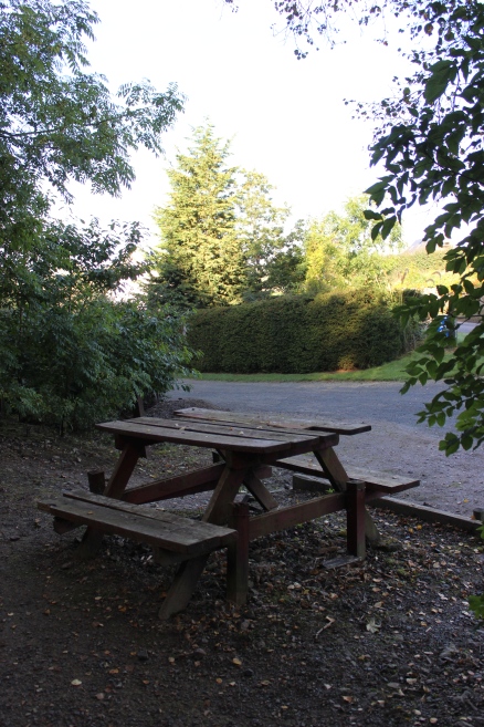
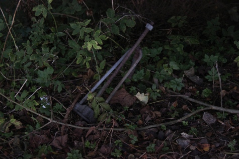
Left: A welcome seat. Right: Remains of a telegraph pole tension wire bracing.
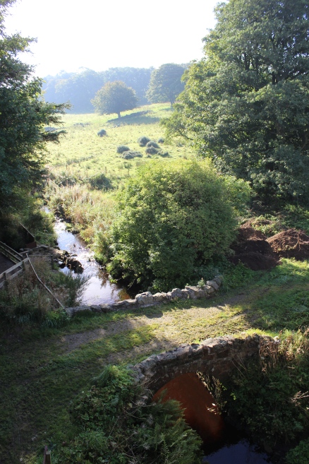
Bridge over the Lade and weir that fed the old brewery.
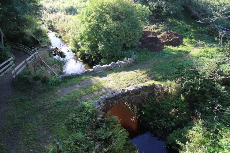
The Lade and decorative bridge that fed the old brewery. The triangle between Brewey Road and the A981 covers the beautiful area arond the
park, lake and the standing stones.
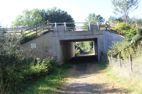
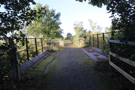
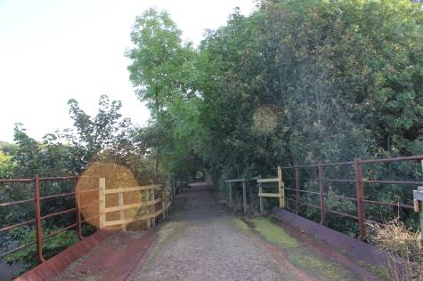
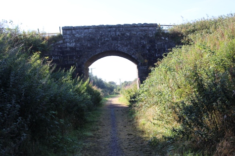
The over bridge, toward Strichen.
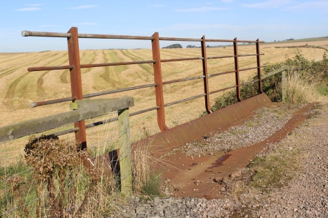
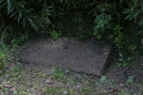
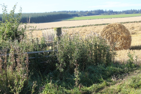
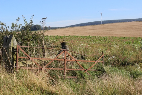
Left: Heading towards Brucklay. Right: This may have been the foundation of the Down distant signal for Strichen station.
New buildings on the site of the old brewery.
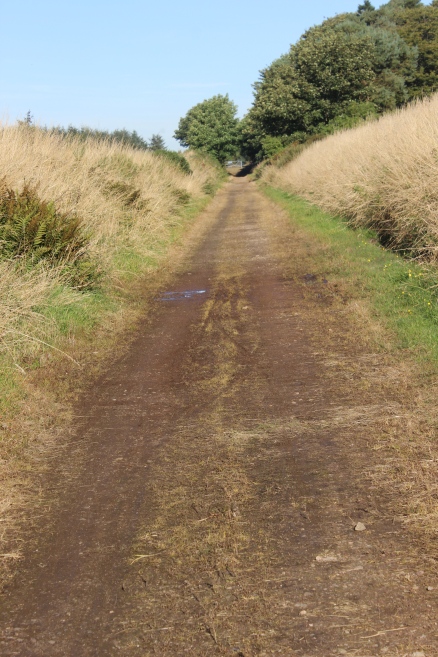
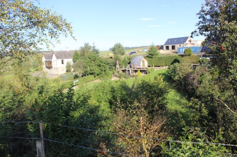
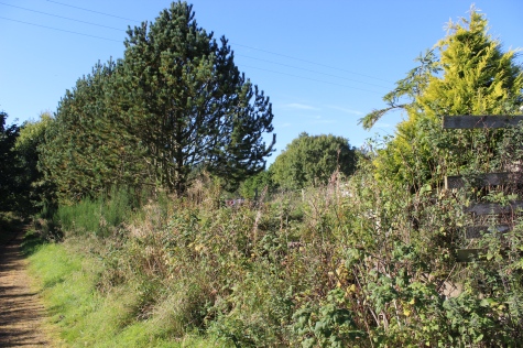
Countryside view to the west.
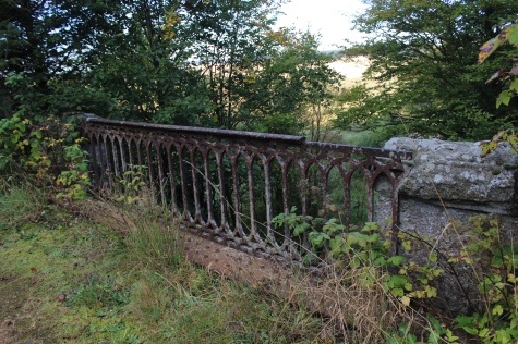
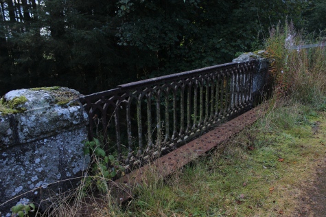
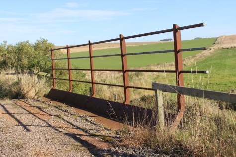
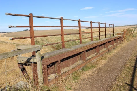
Nice Wrought Iron railings on a bridge
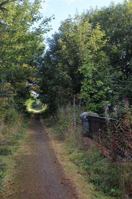
From the same spot, towards Brucklay and to Strichen, respectfully.
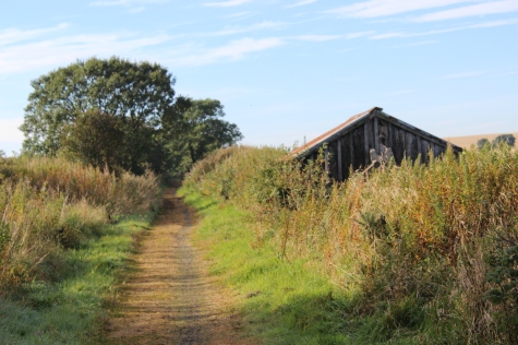
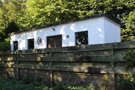
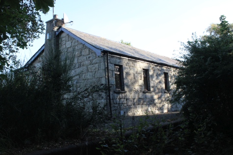
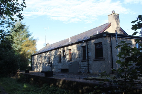
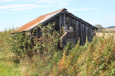
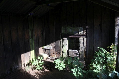
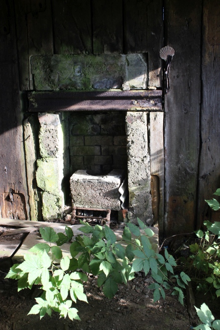
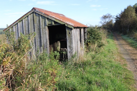
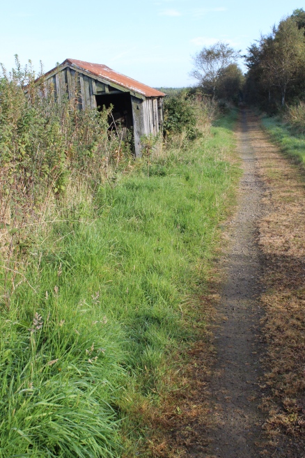
Back in the sunlight and by an old Ganger's Hut that, inspite of the years of closure, is till in a good condition, albeit the chimney stack has gone.
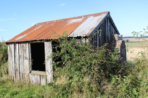
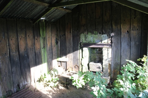
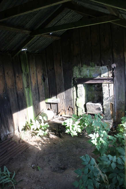
The fireplace looks as it it is still useable.
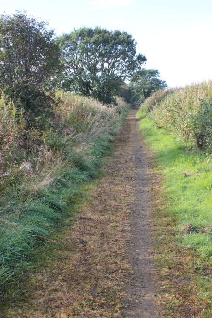
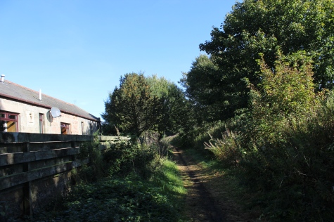
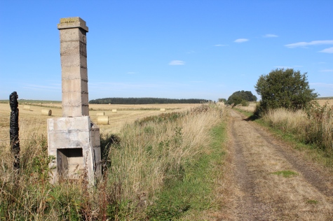
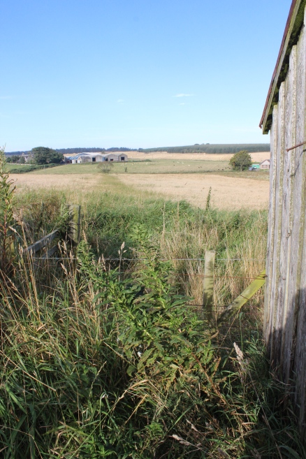
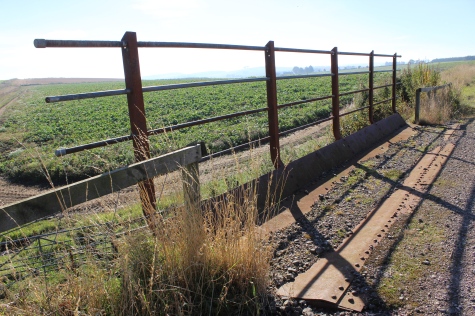
Left: Back towards Strichen. Right: The railway drainage is still working at this spot.
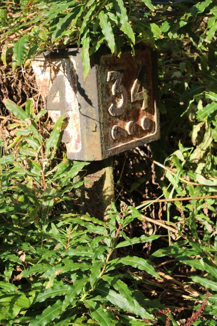
34 & 3/4 miles from Dyce Junction.
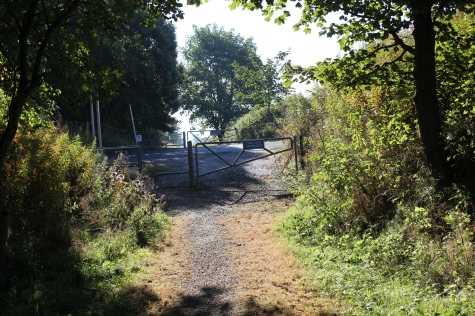
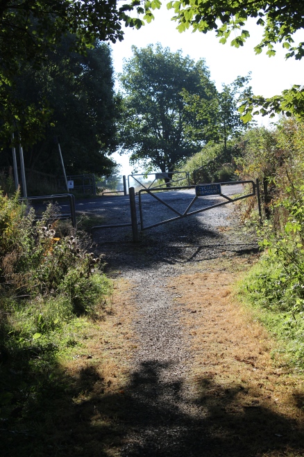
Access road that leads to the A981.
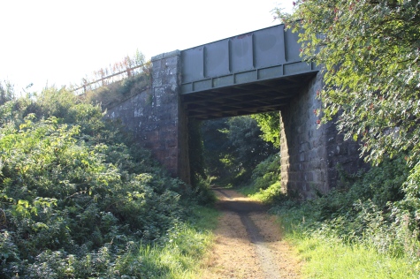
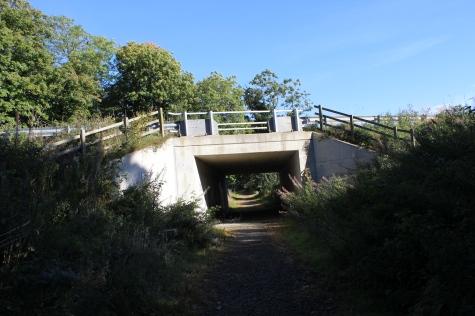
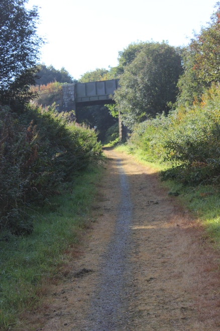
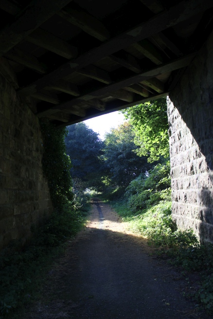
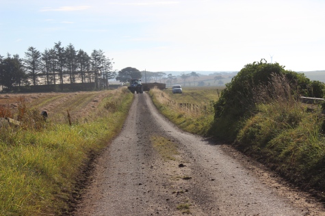
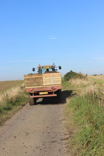
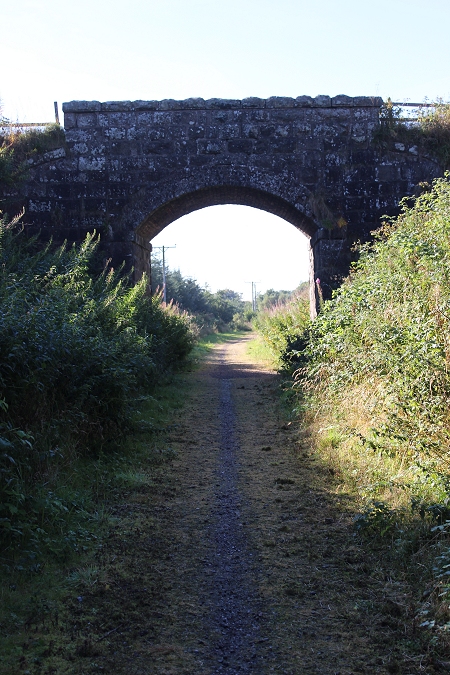
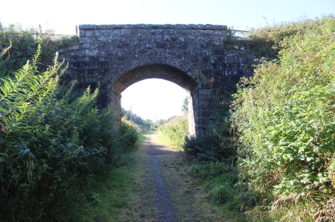
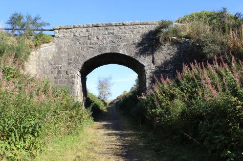
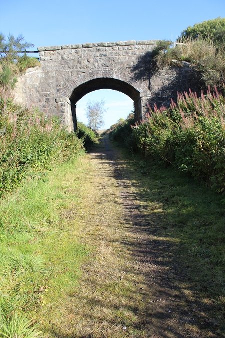
Left: North side of the over bridge. Right: View eastwards from the road, a tractor begins to move a towards me.
Views from the over bridge, towards Strichen and Ellon, respectfully.
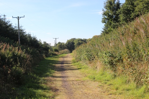
Views from he road level. Left; Eastwards. Right: Westwards. The tractor has passed me. The daily work load continues, whatever.
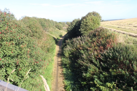
Left: The countryside to the north east of the road. Right: View northwards from the farm road on top of the bridge.
Ditto Right: View southwards from the over bridge.
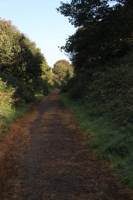
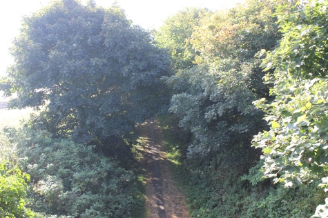
Left. Southwards towards Ellon. Right: Northwards towards Strichen.
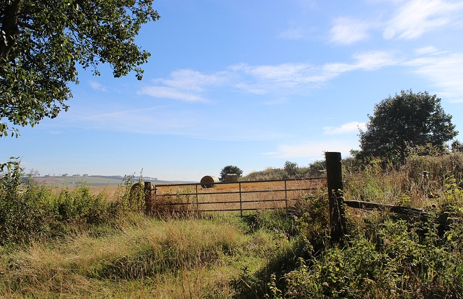
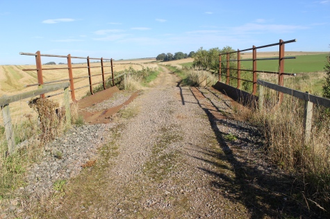
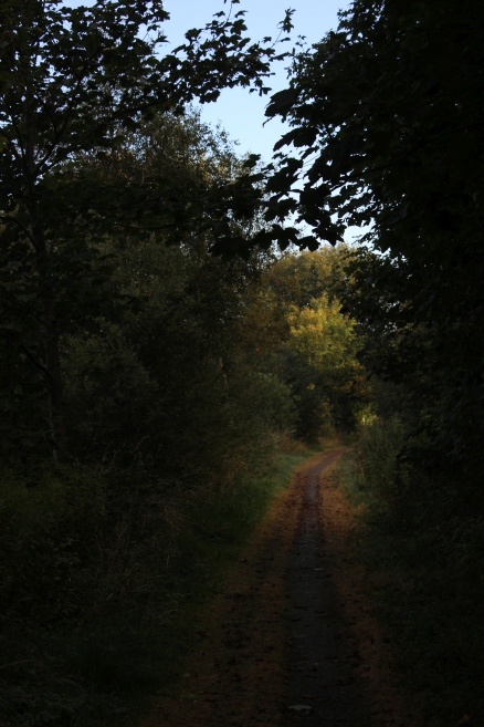
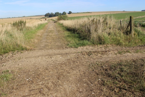
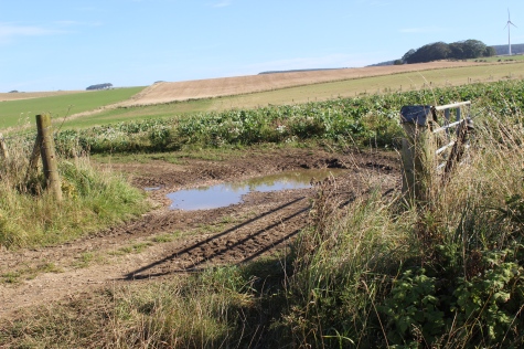
Ex farm crossing. Looking westwards
Back towards the over bridge.
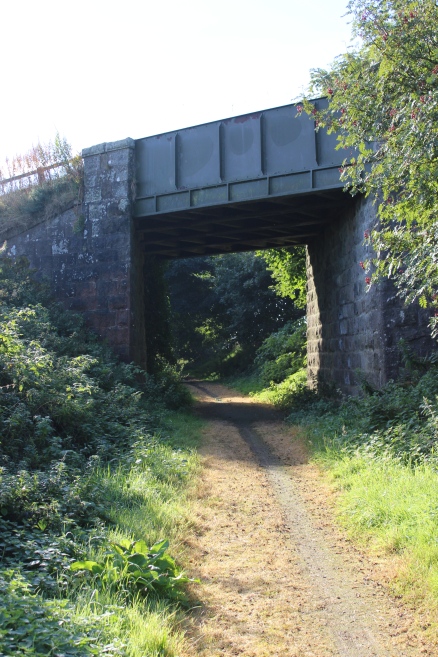
The road had gone over the railway at this point but has been demolished. The track bed on each side has been raised to meet the natural
level of the road.
Ex Over bridge on the A981
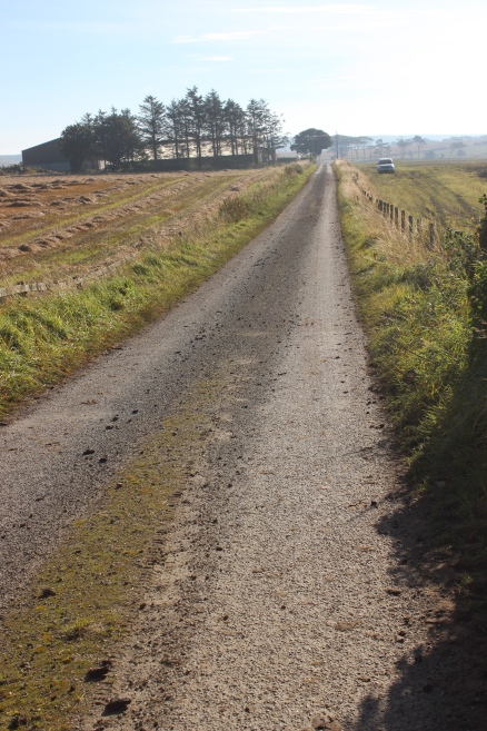
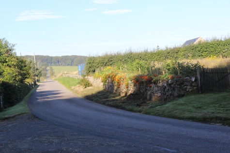
The A981 heading southwards towards the A950.
Left: Two and a half miles from Strichen. Right: Three miles to Brucklay, with the A981 heading for Strichen.
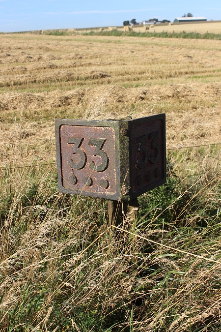
This is roughly 33 miles from Dyce station.
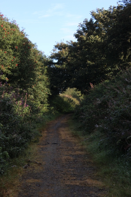
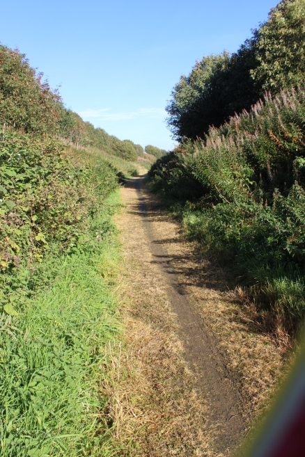
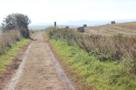
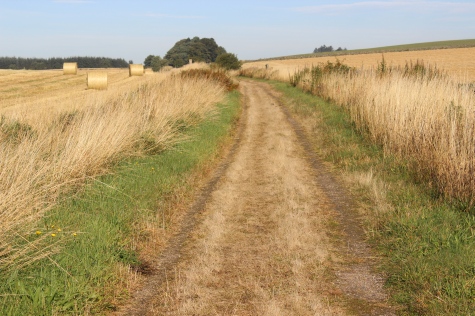
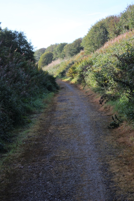
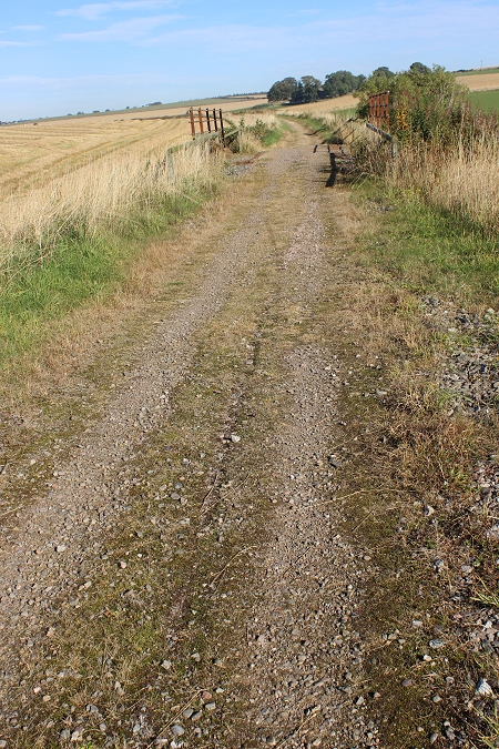
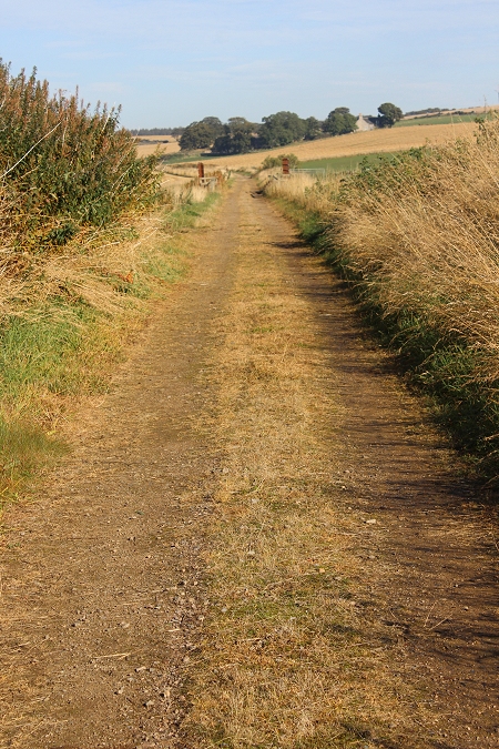
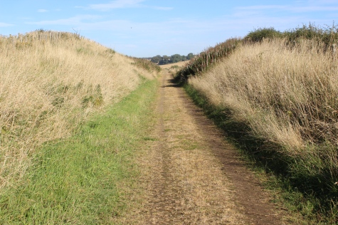
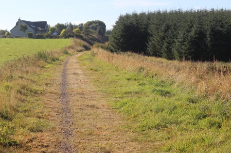
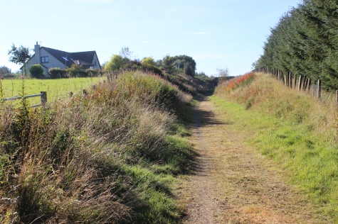
Left: Back towards Strichen. Right: Southwards towards Brucklay.
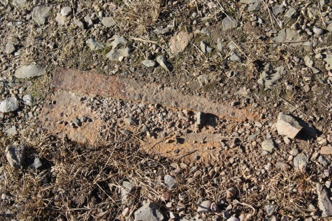
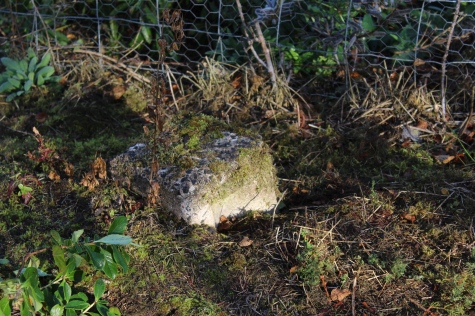
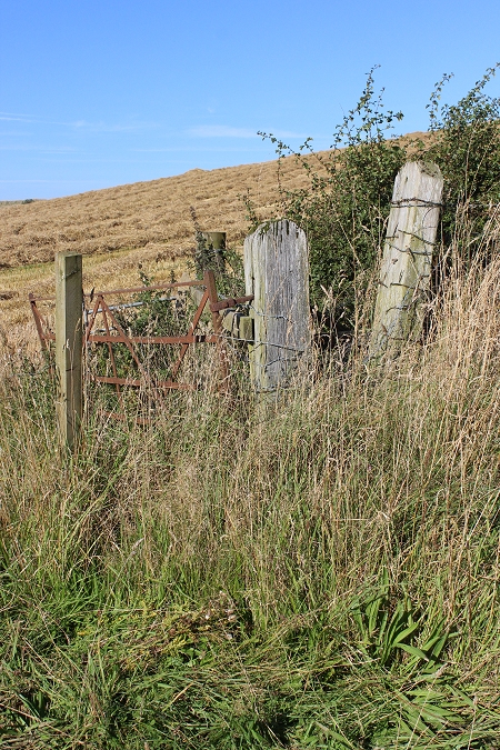
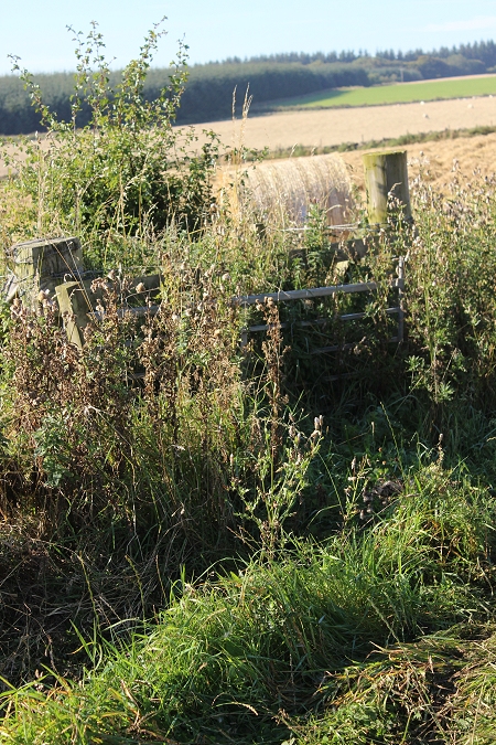
Right: This could possibly be a piece of rail! Right: Ex Farm crossing.

An Ex Farm Crossing.
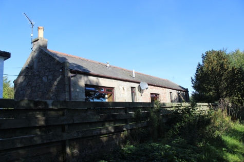
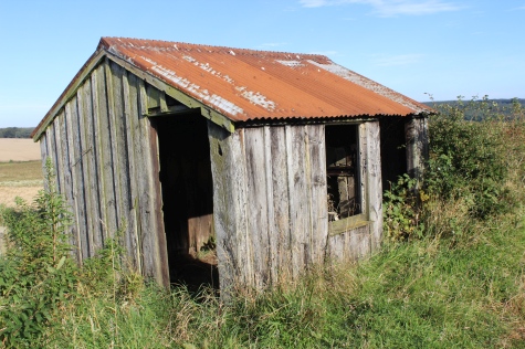
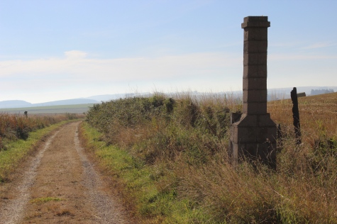
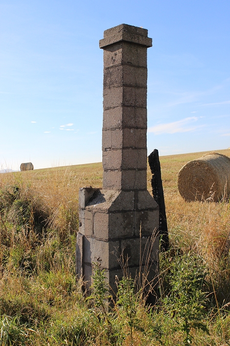
The Ganger's hut simply erroded over time. Aye, Sure!
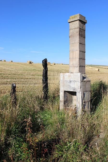
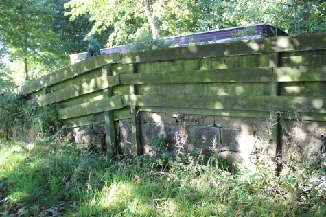
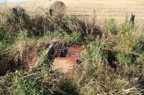
The hut has been burned down Remains of the building.
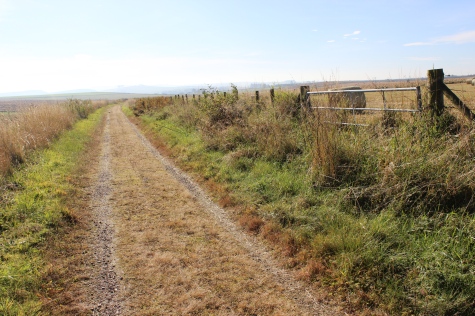
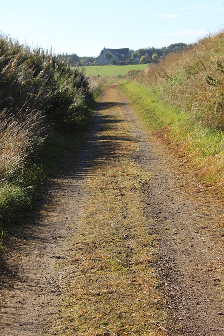
Left: Back towards Strichen. Right: Southwards to Brucklay.
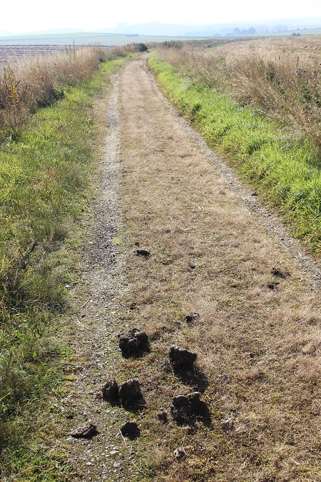
Left: Horses pass this way!
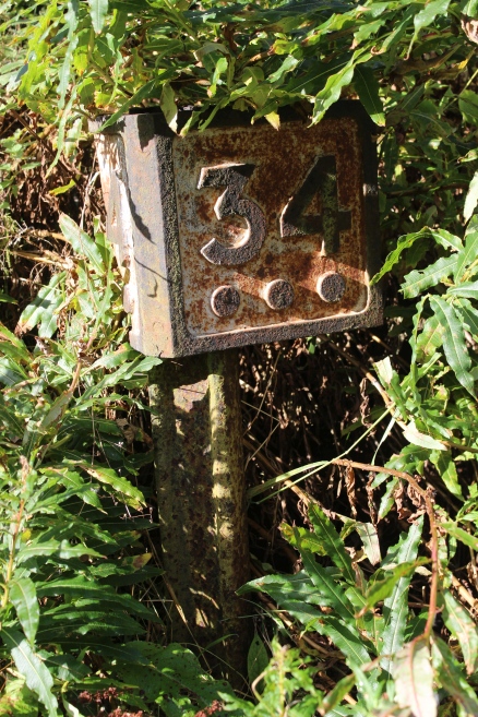
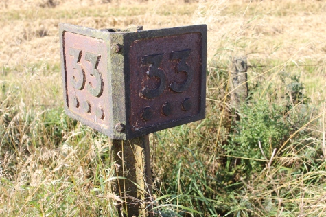
33 & 3/4 miles from Dyce Junction and a mile closer.
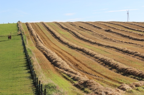
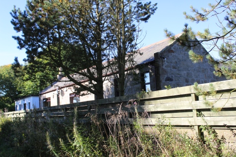
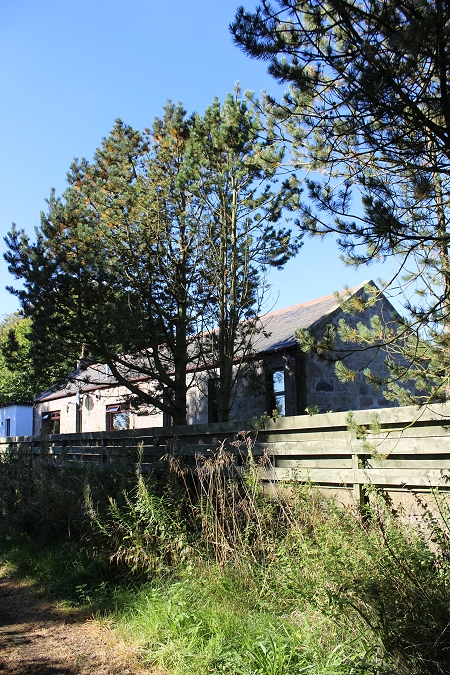
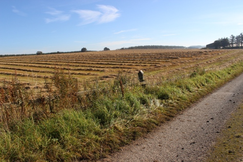
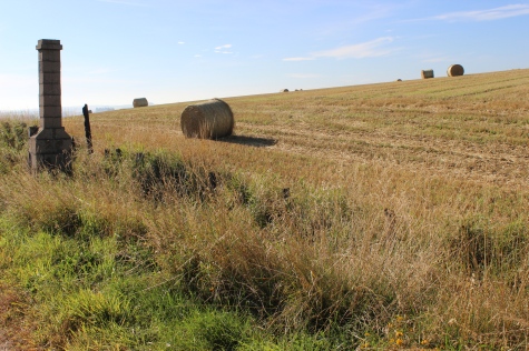
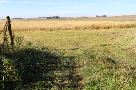
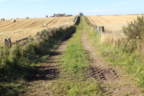
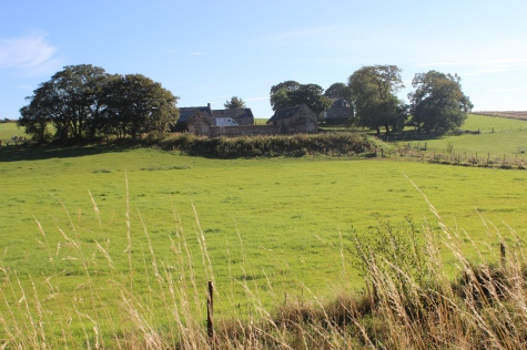
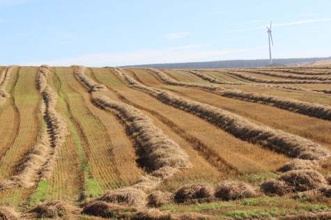
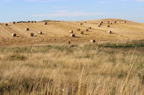
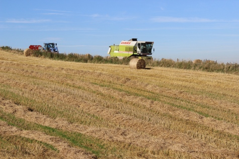
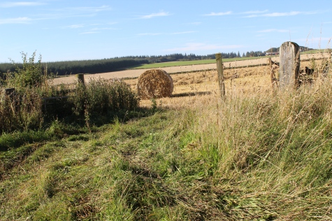
Harvest field patterns. To the north of Bucklay station site..
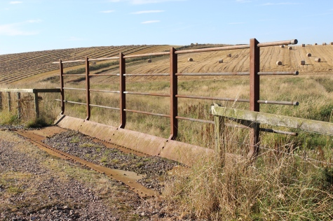
Right: Carnichal Farm.
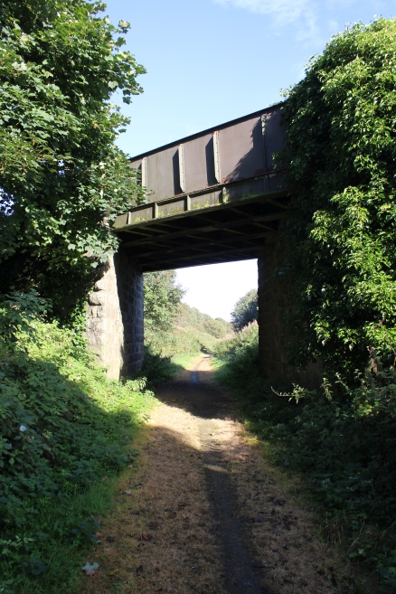
Bridge over a small burn. To the north of Brucklay station site.
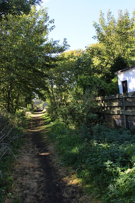
Left: Looking towards Brucklay Station site. Right: Back towards Strichen.


 BruckleyStationPassingTRains1948JLStevenson10Inch.jpg