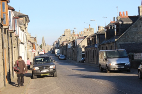
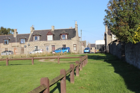
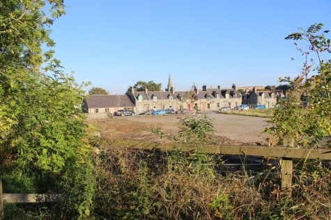
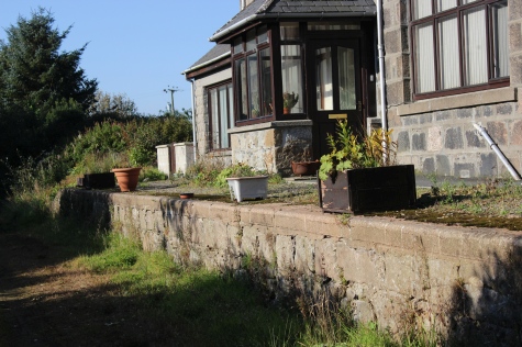
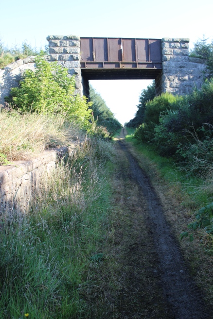
High Street, Strichen, from the bus stop.
STRICHEN TO FRASERBURGH WALK
(2nd October 2015)
STRICHEN TO MORMOND
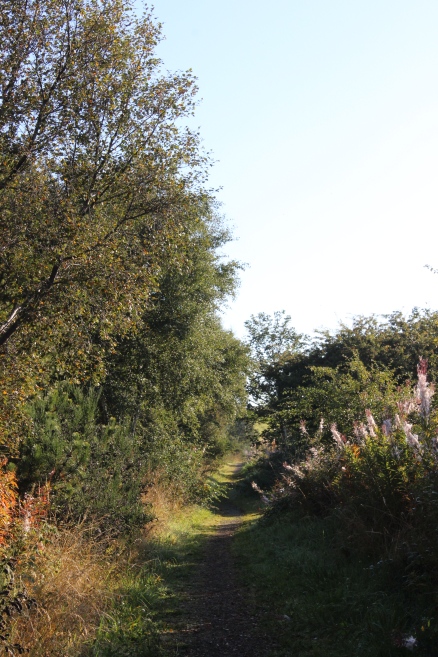
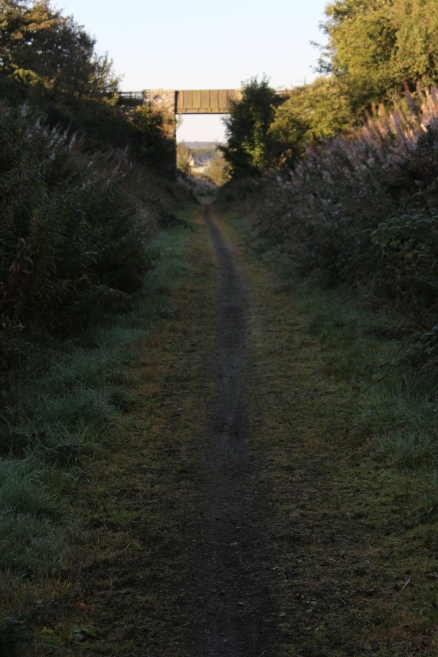
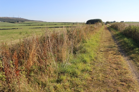
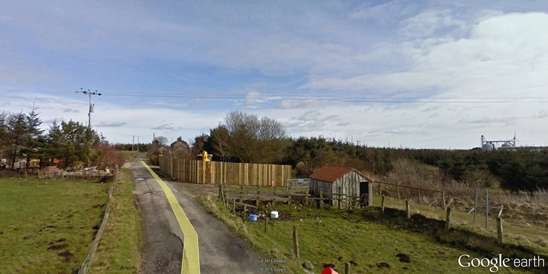
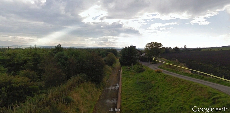
Strichen
station site, from Google Earth. For my walk to Fraserburgh I had no
reason to check out the viaduct or the south end
therefore
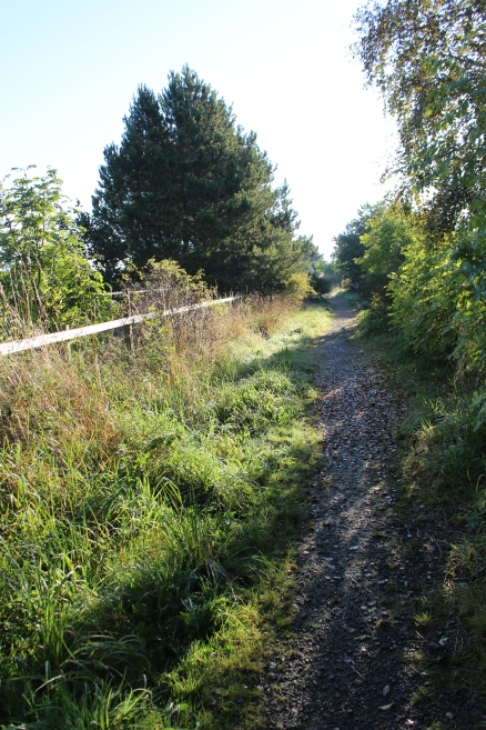
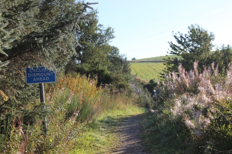
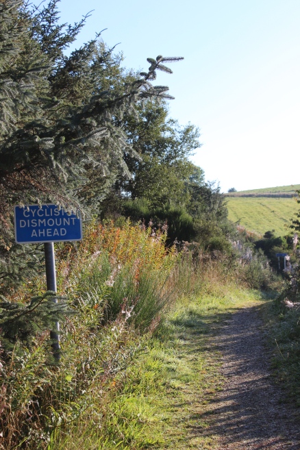
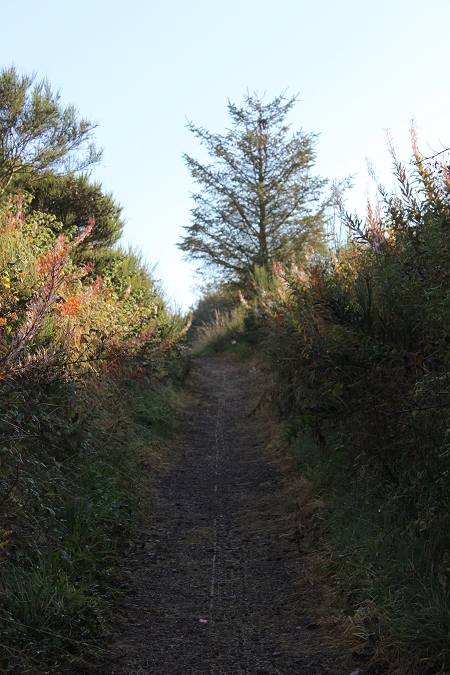
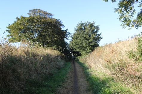
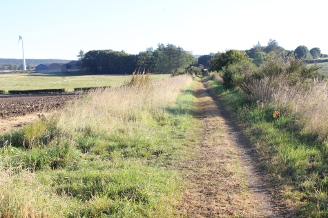
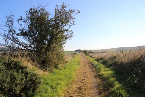
from the bus I went directly to the steps and onto the track bed,
turning left towards the station site and towards
Mormond
Halt, on my first leg of the walk to Fraserburgh.
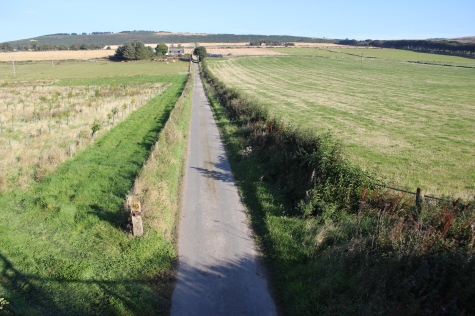
High
Street, Strichen, from the bus stop.
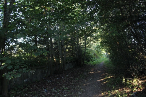
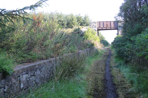
Left:
The station site from the
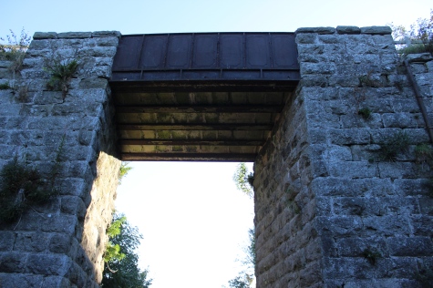
path.
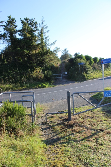
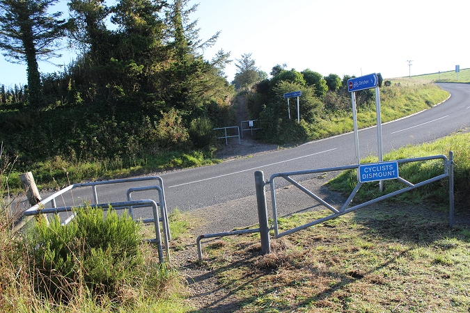
Right: The over bridge by the steps up onto the track bed, from the
path.
Left:
Passenger train at the station in the 60's. Taken from the road. Close
to photo, top left. (Video film screen grab).
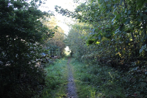
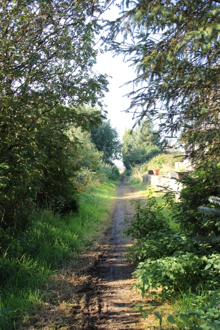
Right:
The path round to the over bridge. Turn left for embankment and over
bridge.
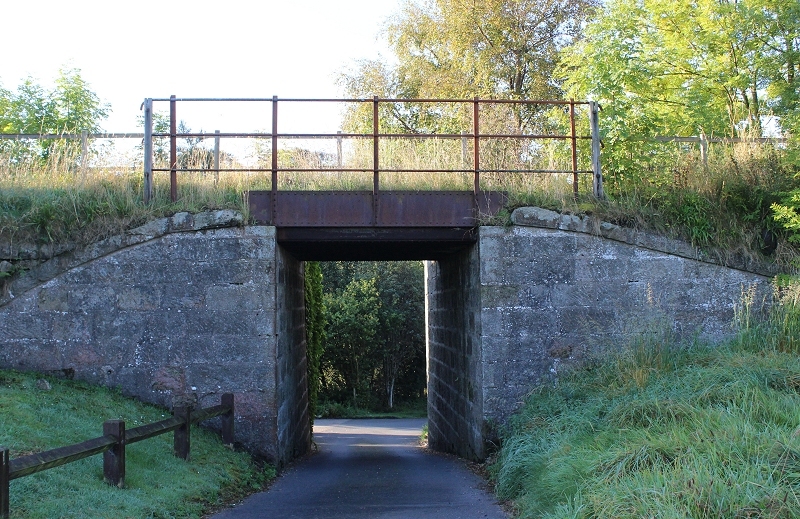
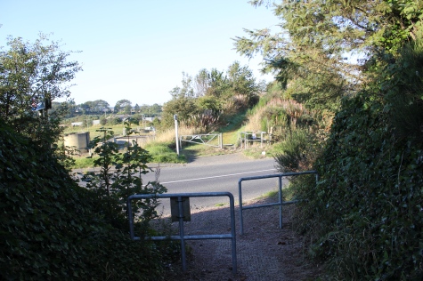
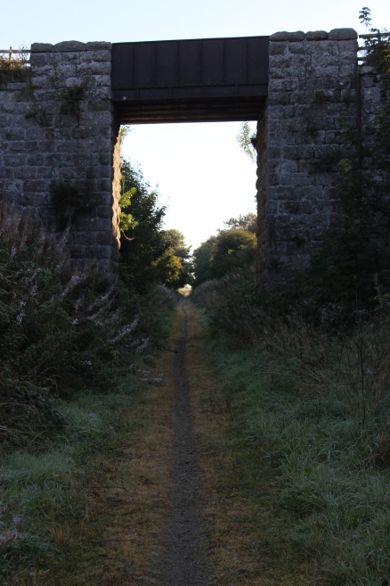
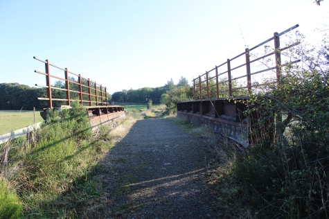
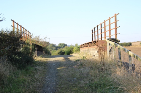
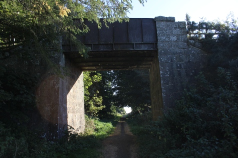
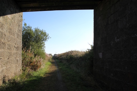
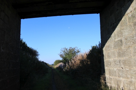
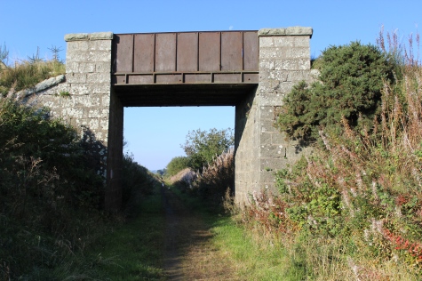
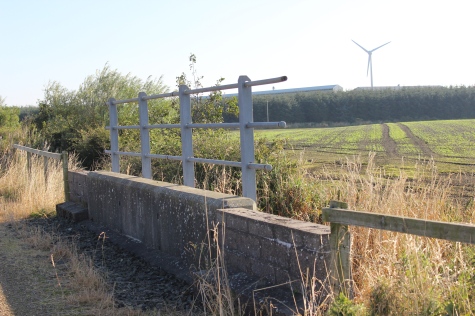
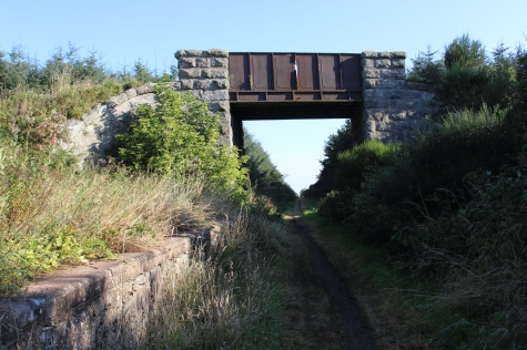
The
over bridge. The path leads to a private dwelling and where the gas
works stood. The steps up
to the track bed are to the right. The
point into the Goods yard were immediately at the end of the
over bridge, on the left.
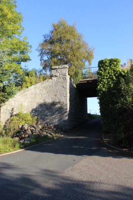
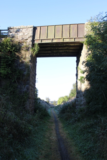
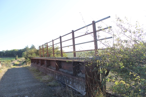
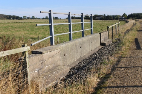
Left:
The over bridge from the south side, which was by the old gas
works.
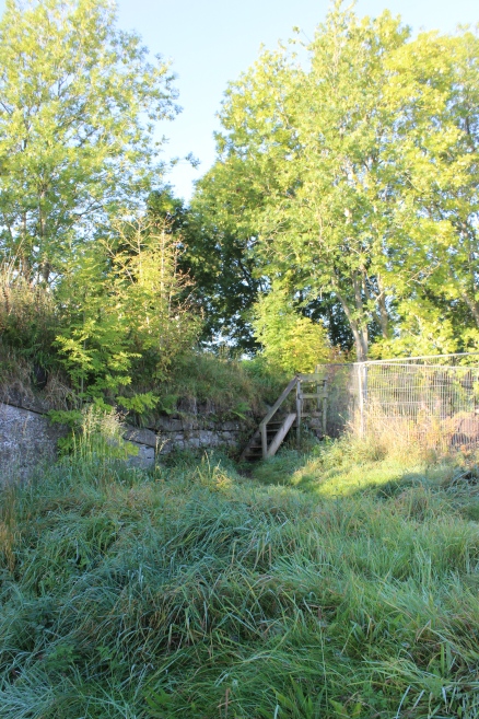
Right: The steps up onto the track bed.
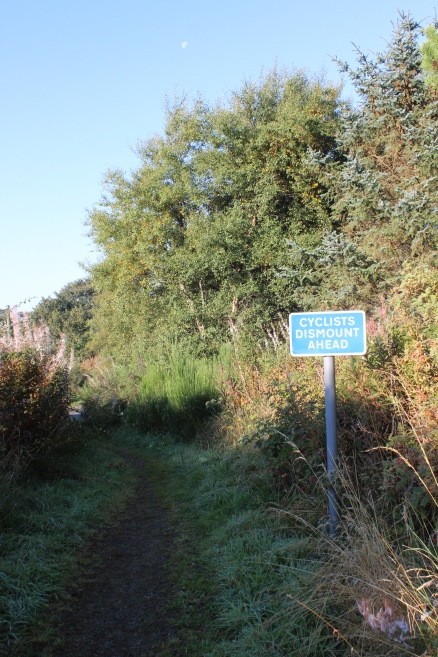
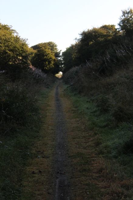
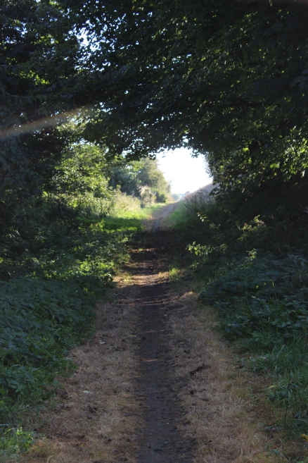
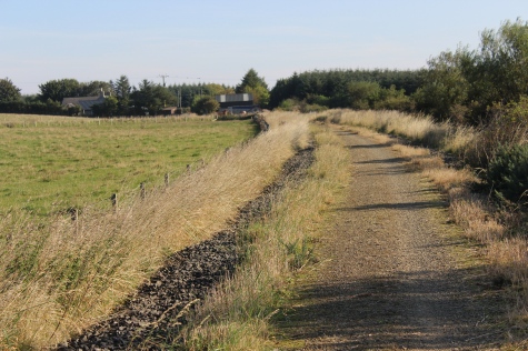
Once
on the embankment, turn left (northwards) towards the station site,
which
is
just up ahead.
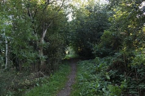
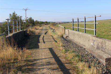
Left:
View from the embankment towards the
road.
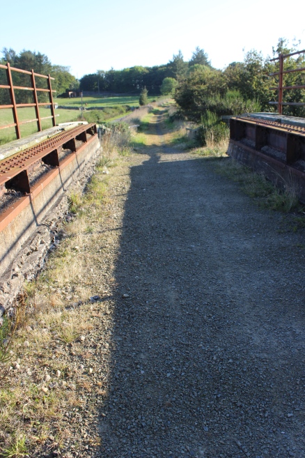
Right: This is the station site. The Up & Down platforms are
hidden on each side.
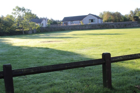
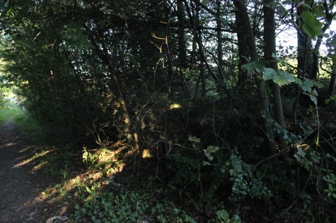
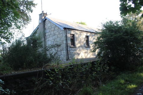
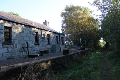
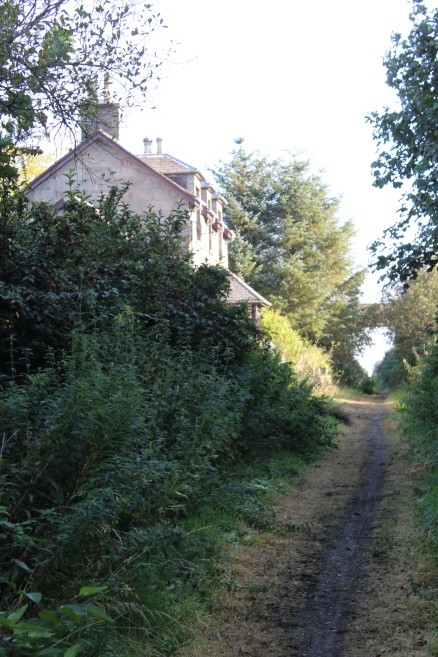
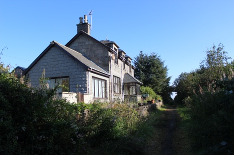
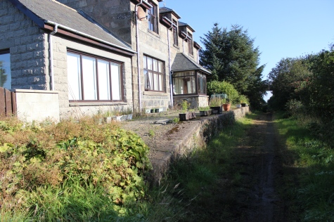
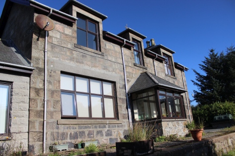
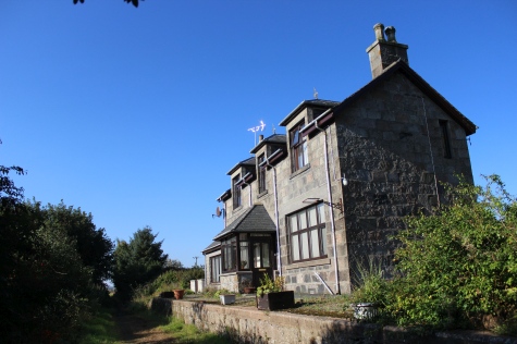
STRICHEN STATION
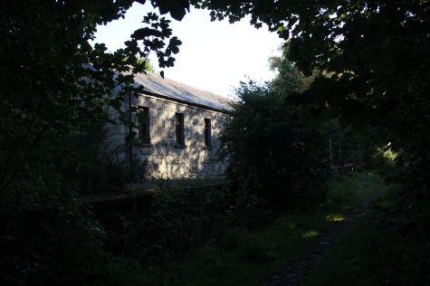
Left:
The station building, well in the shadow the trees.
Right: The Up station building and platform are deep in the
shadow
of the heavily forested area. (See below).
 StrichenUpPlatformBampWPhot_zpswdrtaxn2.jpg
From
approximately the same spot as above, right. The signal box an
passenger
shelter on the Up platform. (Photo on sale at Ebay).
mormond hale strichen stn platform
The Down platform. South end and station
building, respectfully.
Both
looking northwards along between the platforms.
Ditto.
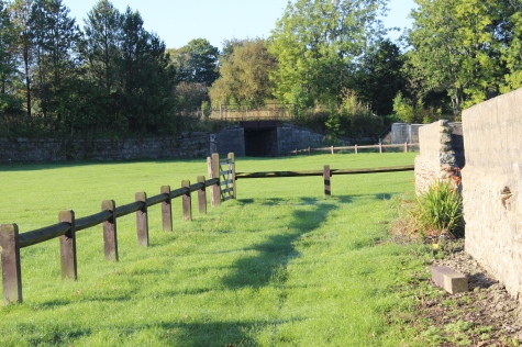
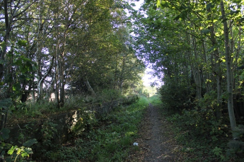
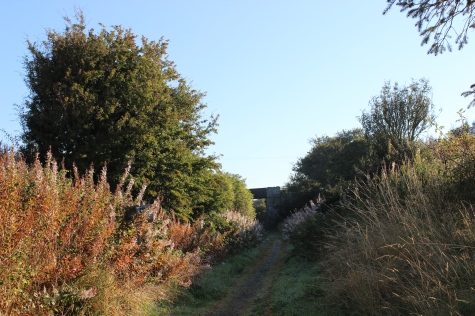
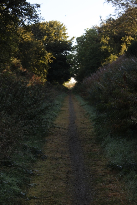
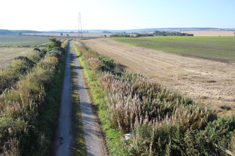
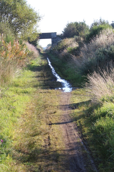
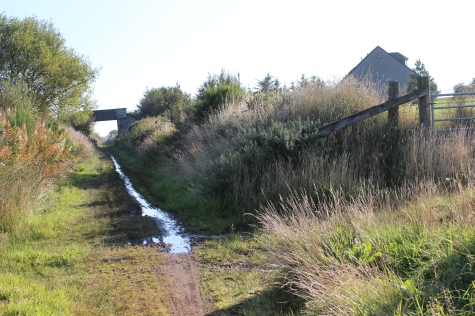
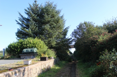
From
the station site to the demolished road bridge.
North
side of the demolished bridge, leading back up onto the track bed to
the station site.
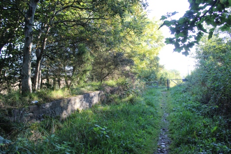
Approaching
the site of the demolished bridge north of the station site. The
track bed drops to the road where the over bridge has been demolished.
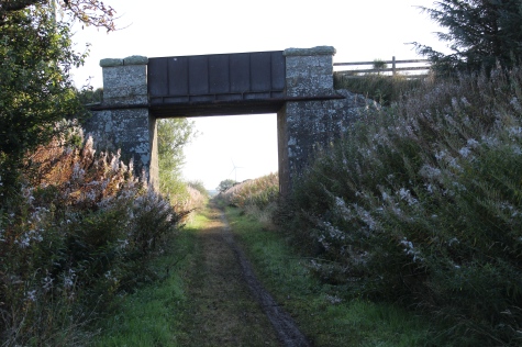
From
the south side of the Ex over bridge. Towards Mormond.
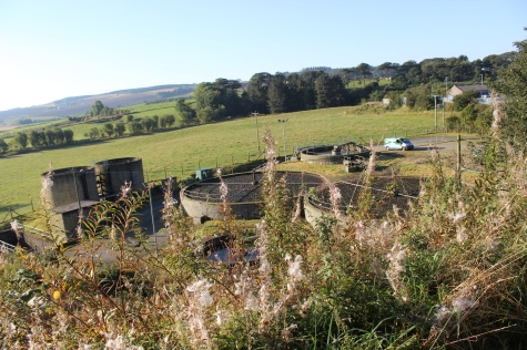
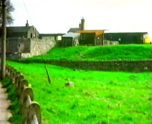
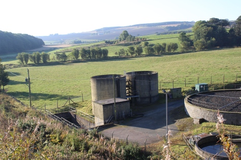
Strichen
sewage works, from the track bed. Right: Approximate point on the
track bed where the photo below right was taken from in the 70s.
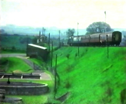
Close
to photo above right. Passenger train dropping into the station, past
the sewage works, in the 60's.
I remember ths scene well and would have been getting prepared
to exchange the single line token with
the signal man, as the train came to a stop in the platform.
(Video film screen grab).
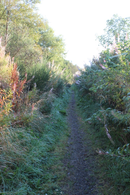
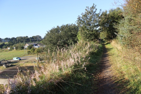
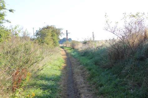
Left:
The road running into
Strichen.
Right: Getting back
up onto the north side of the track bed.
Left:
Looking back across the road towards
Strichen.
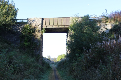
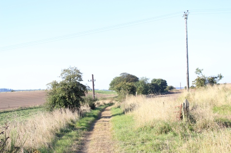
Right: The next over bridge ahead on the track bed.
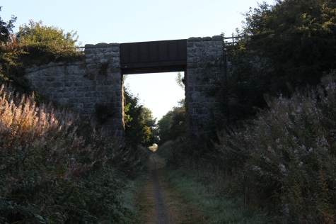
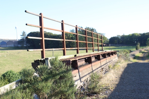
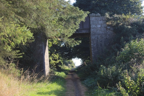
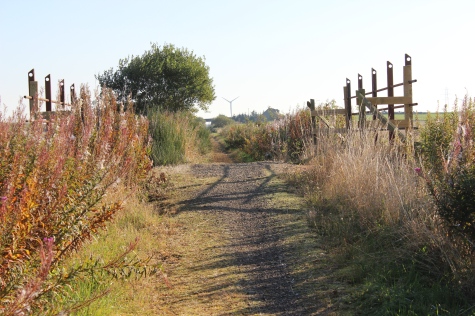
The first over bridge north of Strichen.
A farm crossing access bridge.
Southwards and northwards, respectfully.
Left:
View
northwards.
Right: Southwards, back towards the wooded rea by the over bridge.
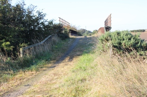
Left:
Northwards.
Right: View westwards to the White Horse, from the track bed.
Towards
road over bridge that appears to stand higher than the actual track
bed!

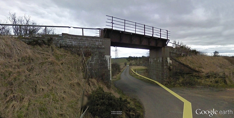
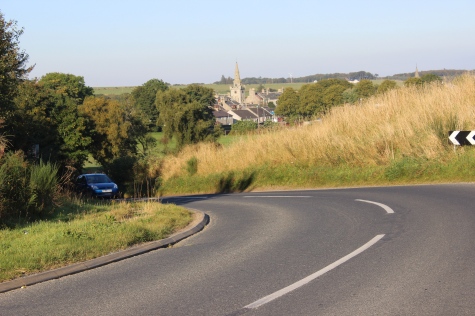
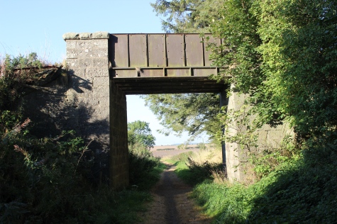
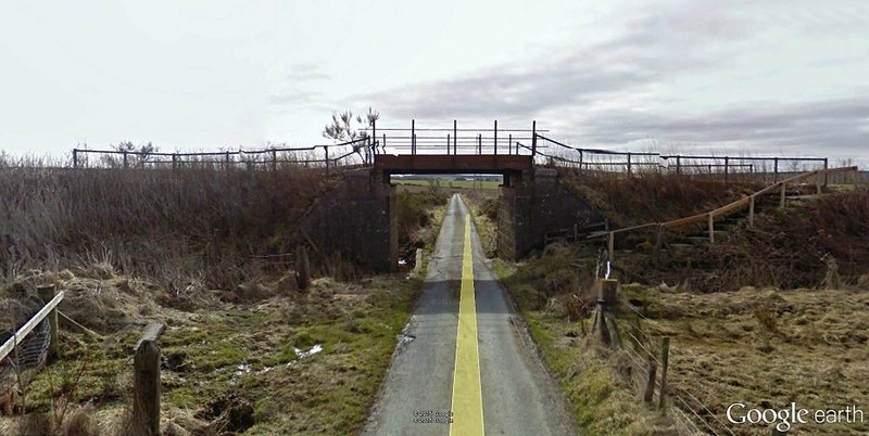
The
over bridge from the road . Strichen to the right (Southwards).
(Google).
North
end of the over bridge. You see the drop created by the lowering of
the track bed at this point.
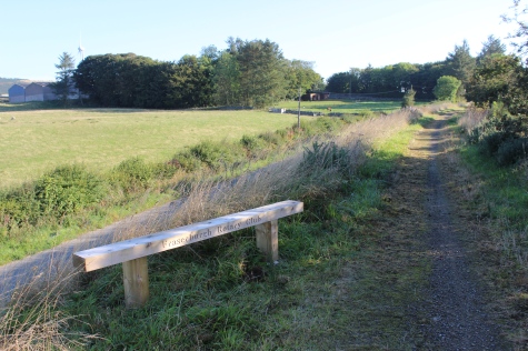
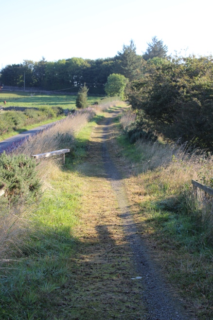
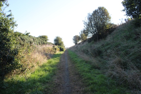
Left:
Northwards. The bench has been provided by the Fraserburgh Rotary
Club.
Right: The change in track bed level, looking southwards.
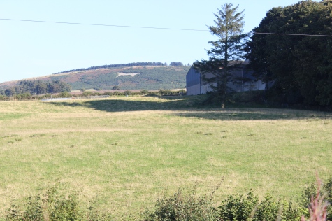

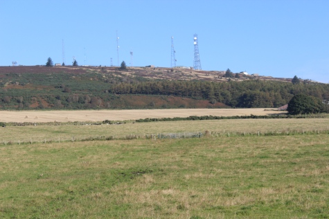
Left:
Mormond Hill & White
Horse.
Right: Horses, from track bed.
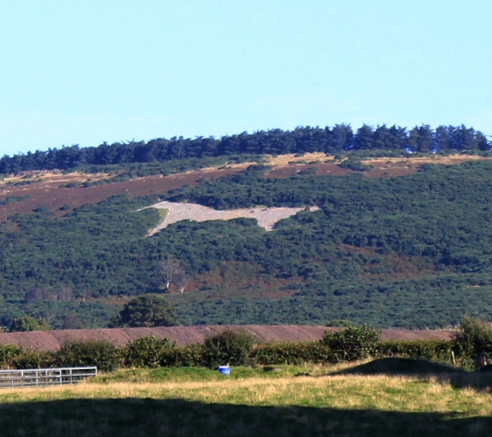
The
Mormond Hill White Horse. Cropped image from above left. Contrast has
been reduced.
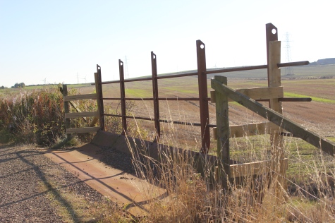
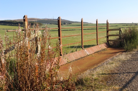
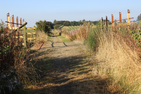
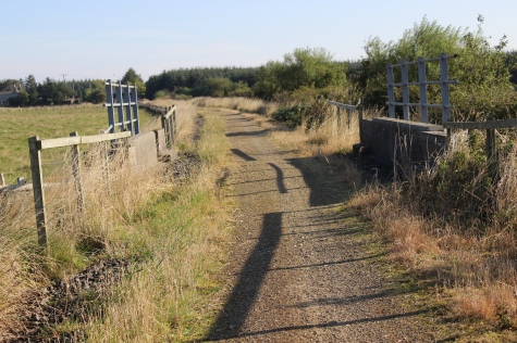
A
farm access over bridge, from the B9093 (South face).
Left:
Looking northwards from the
bridge.
Right: The north face of the bridge, towards Strichen.
A
little further north, looking back at the over bridge in the distance.
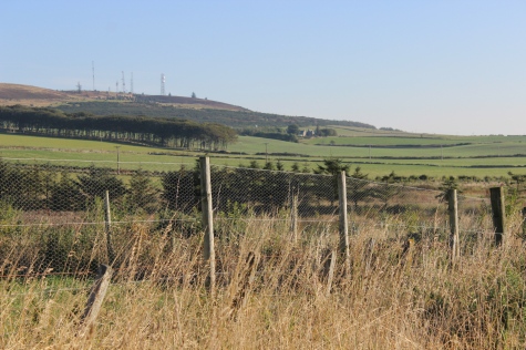
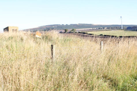
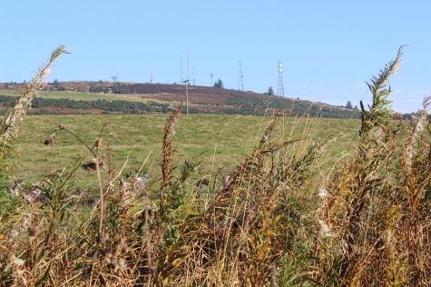
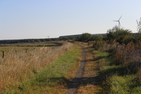
Mormond Hill.

From
here the Mormond Hills remain in sight for some miles.
Farm
linking road and railway over bridge. Looking eastwards. (Google
screen grab).
The
farm road below. Eastwards then westwards, respectfully.
Left: The Burn over bridge, looking
southwards.
Right: Looking northwards towards the next road over bridge.
Ditto.
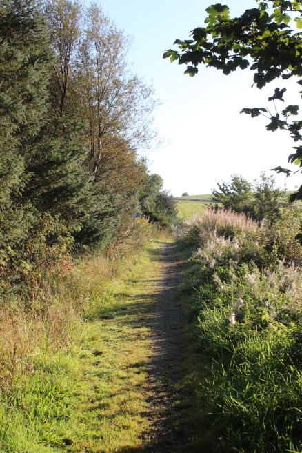
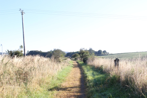
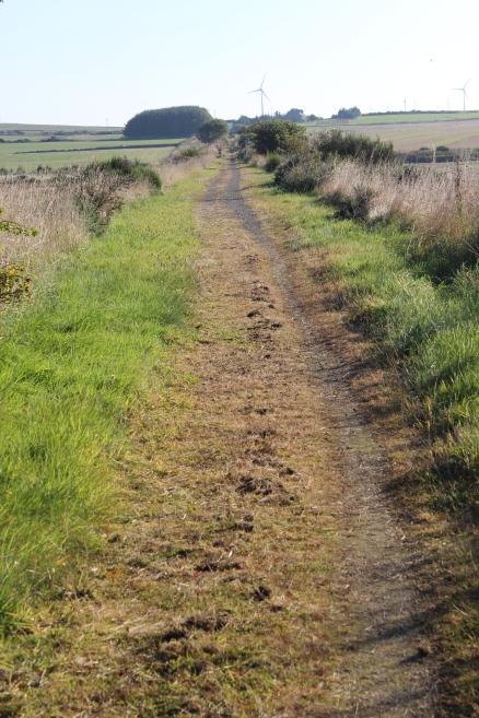
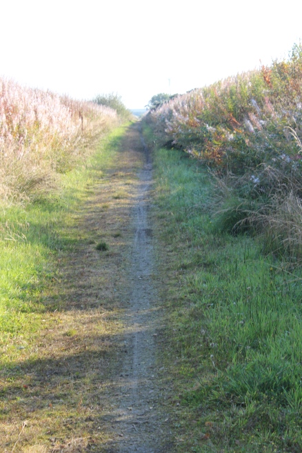
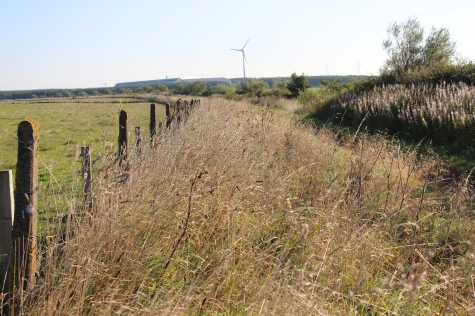
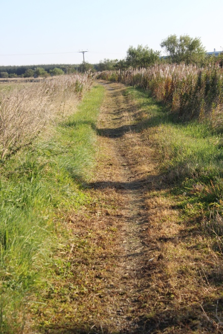
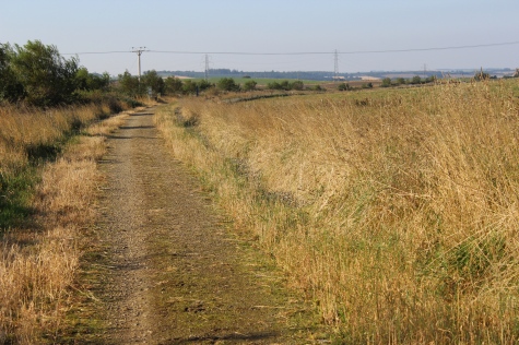
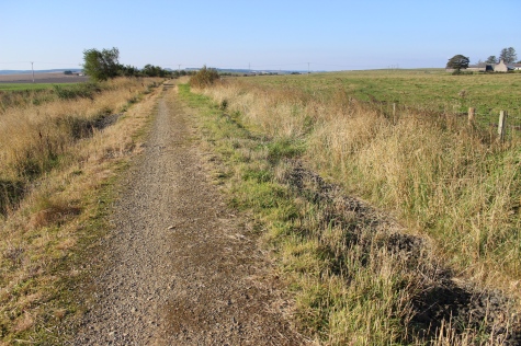
This
section can be quite wet and muddy. The railway drainage is obvioulsy
not working here.
Left:
Northwards, from below the
bridge.
Right: An information board has been damaged.
View
southwards from the over bridge (Google screen grab).
View
southwards.
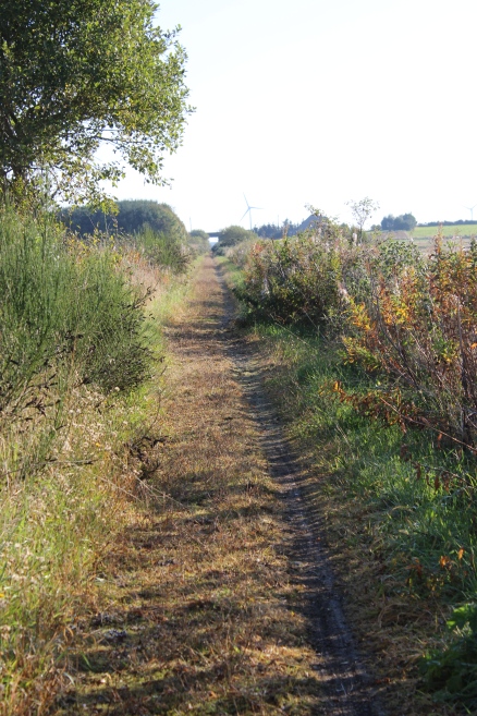
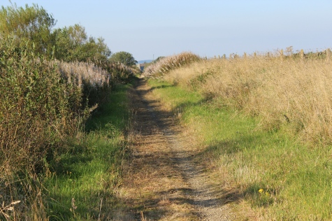
Views
northwards. left: Mormond Hill on the west side of the track bed.
Right: Towards Mormond Station.
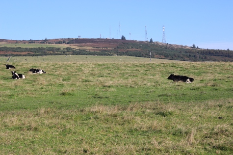
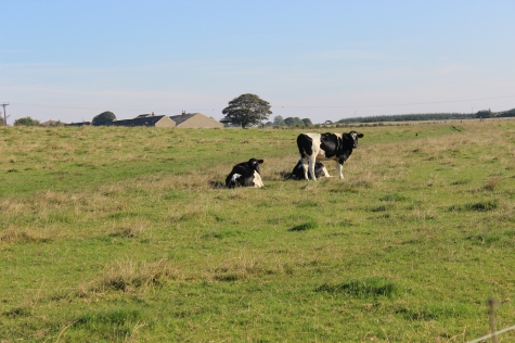
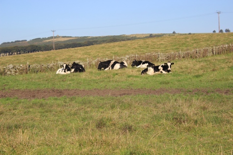
Left:
Cattle enjoying the morning sunlight. Right: View northwards. Over the
years corn has started growing on the track bed for a short distance.
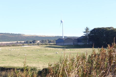
Left:
The large buildings seen in the distance is that of the large complex
"Farmlay" to the east side of Mormond station.
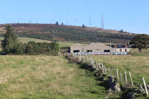
Left:
A farm stead sits between the track bed and Mormond
Hill.
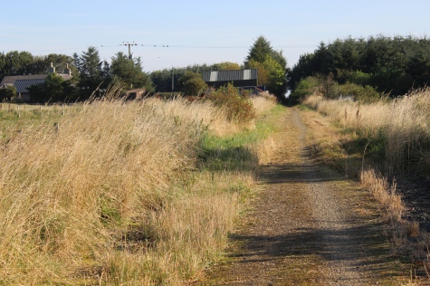
Right: The station site is just up ahead.

Left:
back towards
Strichen.
Right: A large rock by the track bed.

Mormond
station site is now seen up ahead.
Bridge
over a small burn (South of Mormond station site). Farmlay off to the
east.
Almost
at Mormond Station.
Left:
View southwards from the
bridge.
Right: Mormond hill to the north.
Left:
View
southwards.
Right: Mormond Station is within the trees.
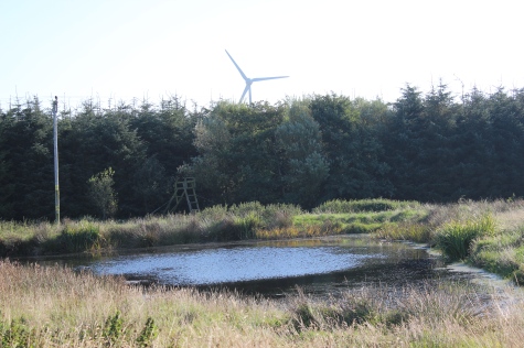
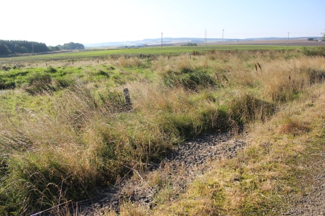
A
small loch on the east side of the track bed.
Left:
View
southwards.
Right: View to the south east from the track bed.
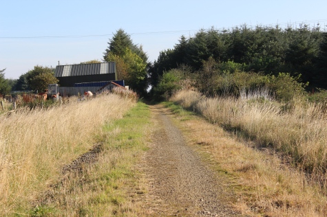
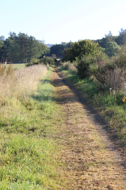
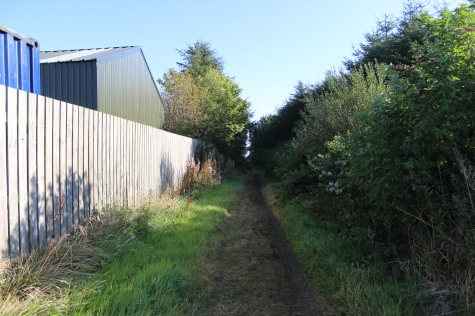
Approaching Mormond Halt site.
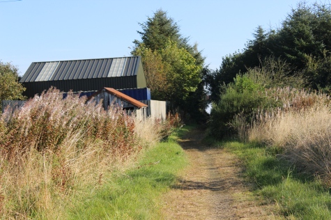
Left:
Mormond Hill from near the station site. (See
below).
Right: Ganger's Hut.
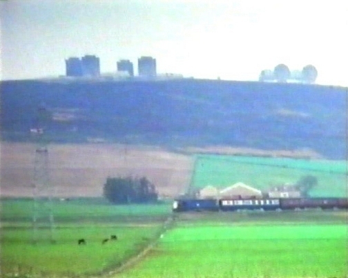
Passenger
train passing below Mormond Hill, heading southwards. The Nato Base
looked
quite different at that time, with two large Domes. and four large
buildings.
The
farm, above left, is behind the train and the clump of trees are also
sill there.
(Video
film screen grab).
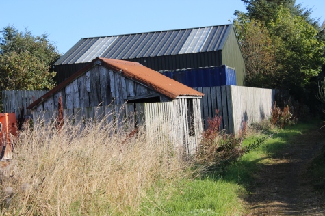
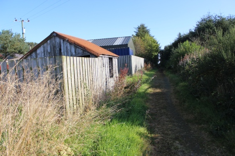
The
hut is in quite good condition, albeit empty inside. The fencing
around the south side suggests that it had been used in the past after
railway closure.
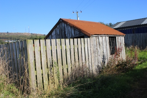
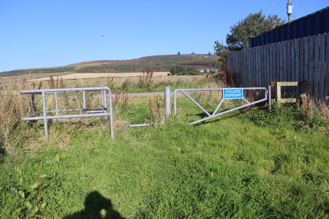
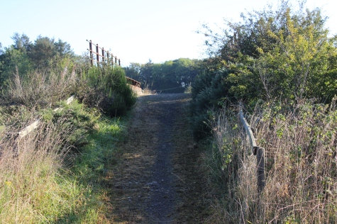
Right:
A gap between the Hut and the station buildings, where the public can
get on and off the track bed.
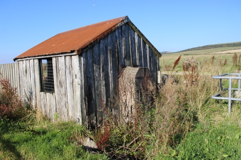
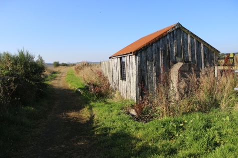
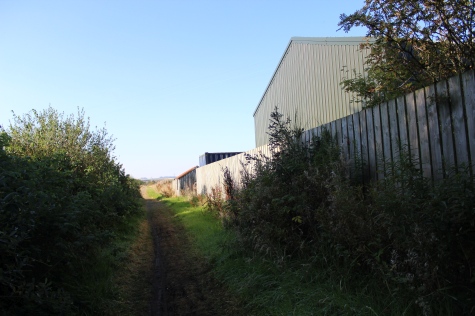
The
Ganger's Hut and station site ahead. Farmlay silos on the right.
(Google screen grab).
Northwards
and southwards, respectfully.
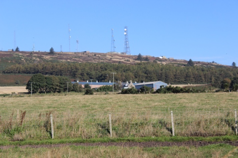
MORMOND STATION
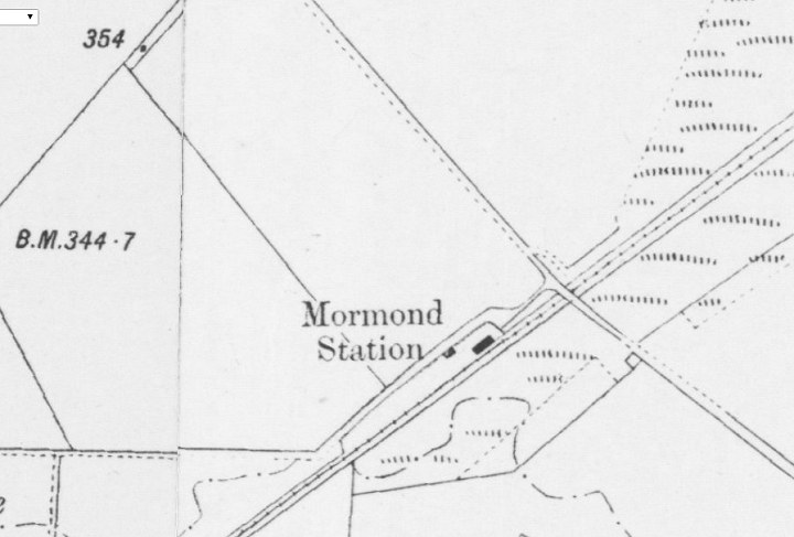
This
was a simple station with only one platform. In a pleasant setting
with Mormond Hill as a backdrop, including the
radio
masts at the summit. (NLS Maps).
Mormond
station site (Towards Fraserburgh).
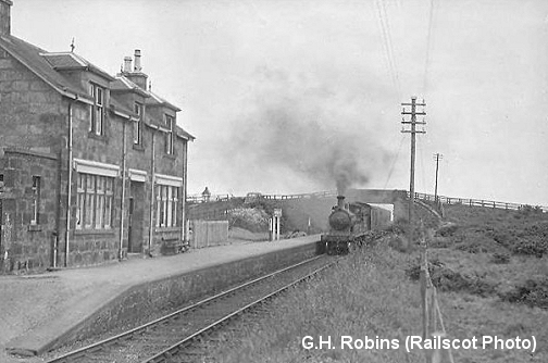
Mormond
Station, now & then. Fraserburgh train heading south
to Maud Junction in 1950. (A Railscot photo).
Left:
View
northwards.
Right: The original station entrance gate and posts are still tin use.
North
end of the station.
Southwards
and northwards, respectfully.
Southwards
views from the north end of the station.
================================================================
Video Screen grabs from the The Railways Of Scotland Volume 4 "Aberdeen and the Grampians". An excellent video available on DVD, from
Cinerail at: http://www.cinerail.com/ There are many great archive scenes of almost every Scottish route you can think of. Well worth a look.Railscot: https://www.railscot.co.uk/ Excellent web site on Scotland's railways. Maps, photos and historical details.
This
page brought to you by:
VintageHammond.Com - We Buy-Sell-Trade Vintage Hammond
Organs and Roll or Kari Organ/Vending Machine Moving Dollies Order Roll or Kari Dollies Here