HIGH PEAK RAILWAY WALKS
(B) BURBAGE TUNNEL NORTH PORTAL TO SOUTH PORTAL
(From a walk on Tuesday 17th Of June 2014) Update June 2016.
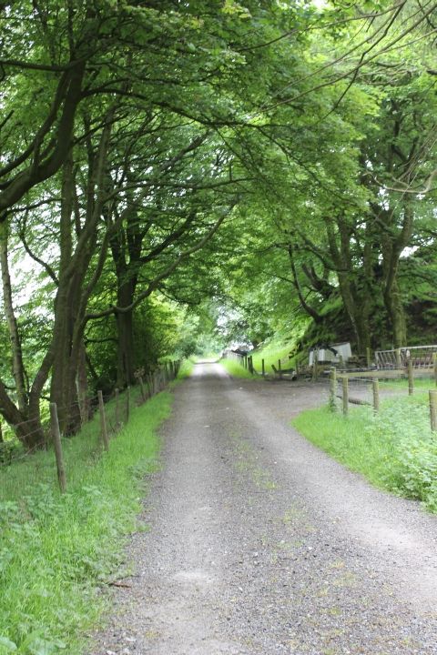
The walk continued on another visit on the Tuesday the 17th June 2014. Walking again, from Goyt Lane and along the track bed to the north portal of Burbage tunnel.
However. This time continuing southwards over the hill above the tunnel and down into Burbage where the track bed curved around the valley to Ladmanlow.
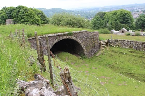
I was able to get up to the south portal of the tunnel, which is on private land.
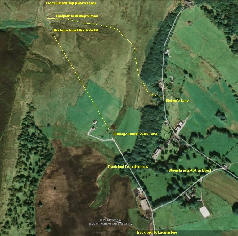
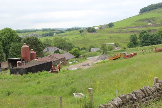
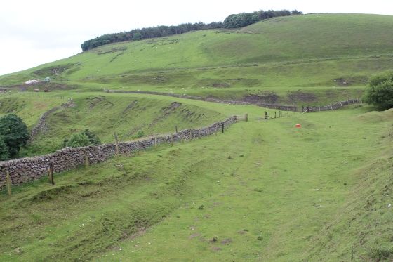
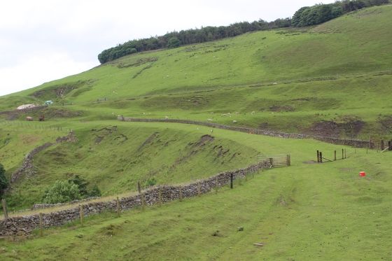
Plan of the route from Bunsell Top (Goyt's Lane) to north tunnel portaland the walk over the hill and down to Bishop's Lane and then back up
the steep lane to the trak bed for the south portal of the tunnel and then the walk over the track bed to Burbage. The walk over the hill is both
steep and very boggie in places.
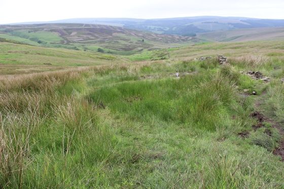
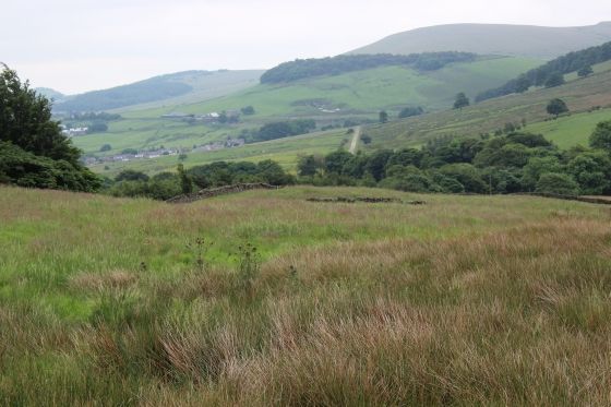
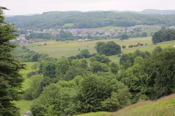
Left & Right: Taken from a hillock by the side of the path to Bishop's Lane.
Ditto.
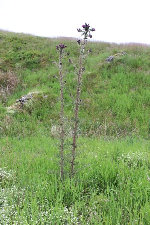
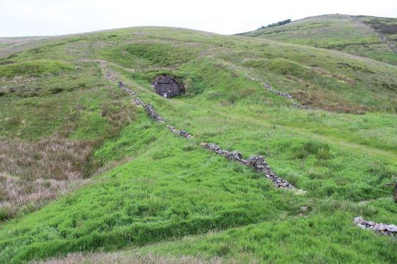
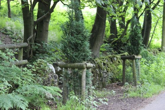
To get to the top of the tunnel entrance follow the high ground, seen here extreme left, from trackbed level. Right: A tall Thistle plant on the surface of the tunnel.
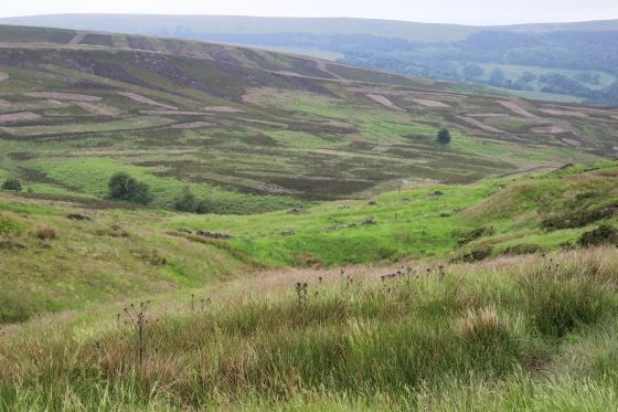
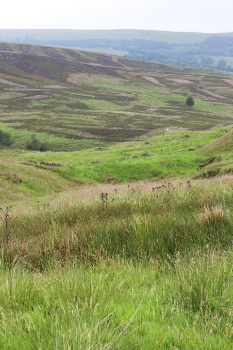
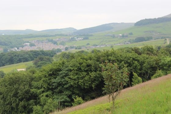
Left & Right: The view from the top of the tunnel, looking northwards.
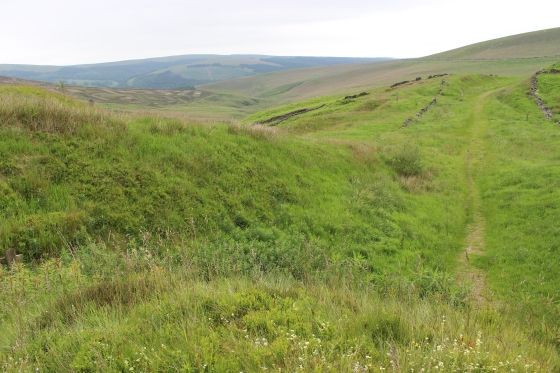
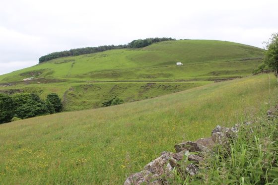
Two more views from the top. The track bed can be seen in the far distance running horizontally just part way down from the top of the hills where it reaches Bunsell Top.
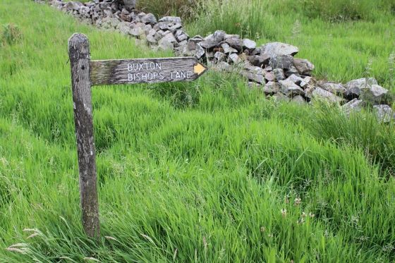
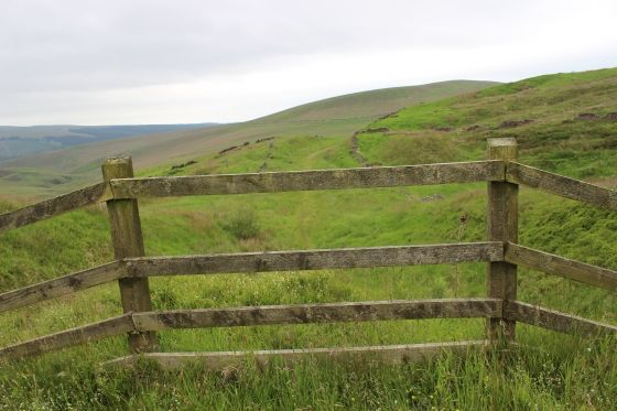
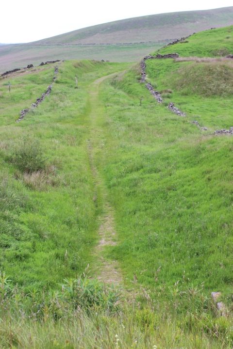
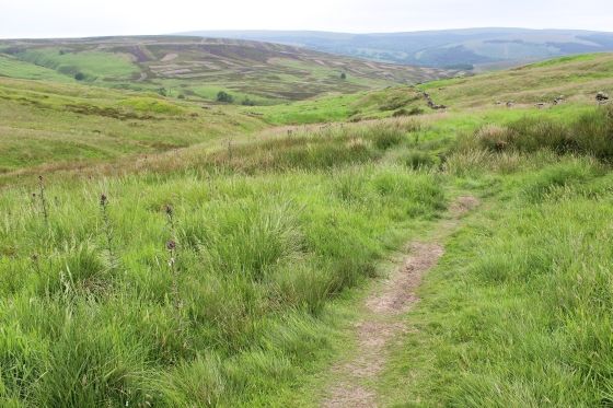
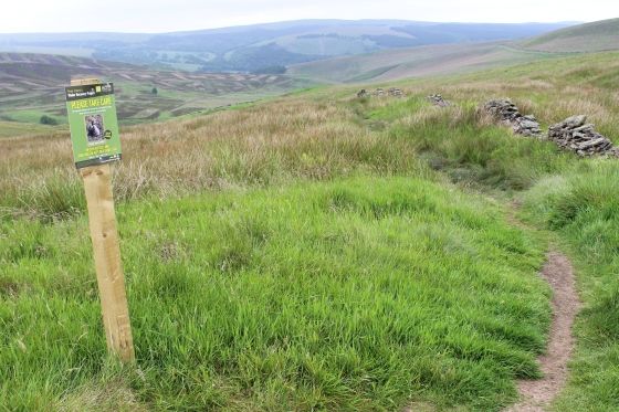
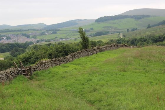
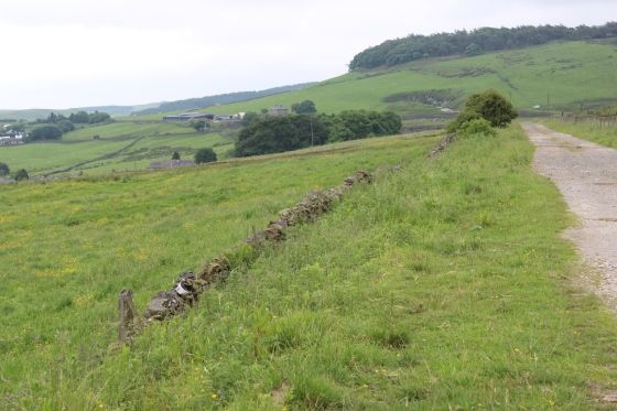
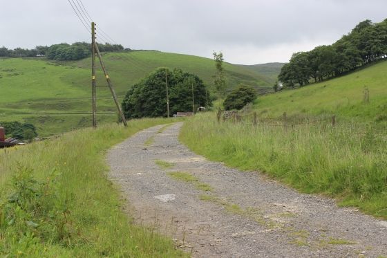
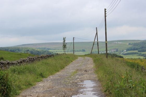
Left: On approaching the tunnel potal, to the left you will see a post indicating the way over the hill to Bishop's Lane and the southern end of the tunnel. Right: The path follows the wall, all the way over the top.
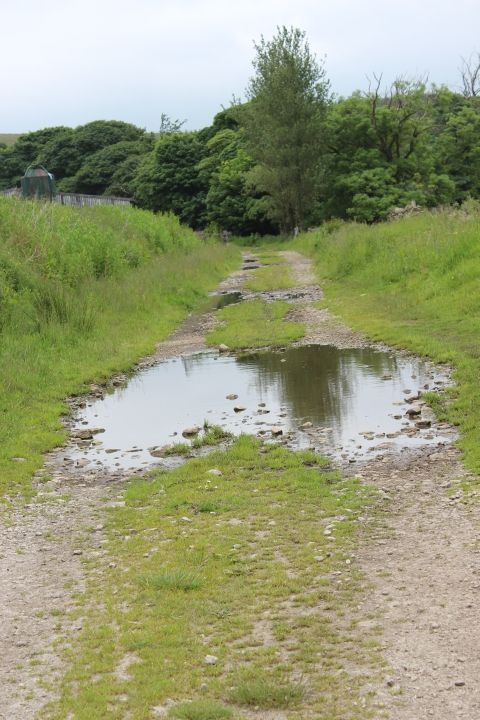
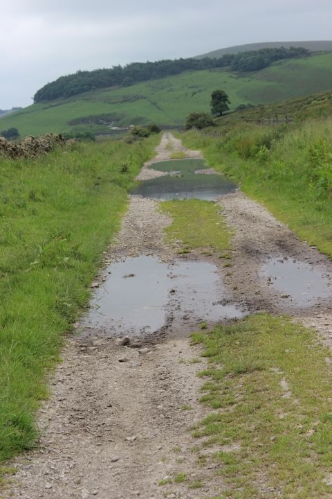
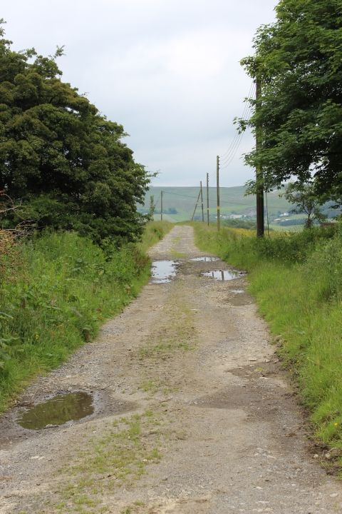
It is only a rough track and can be quite wet and muddy in places.
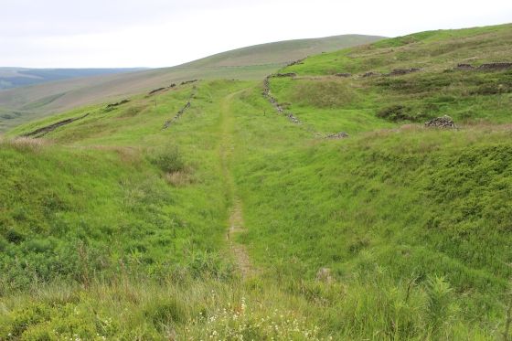
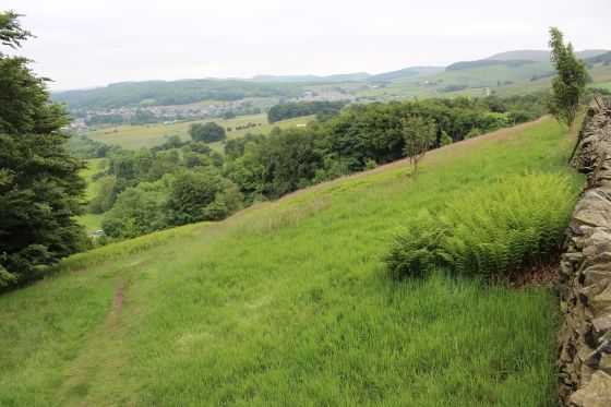
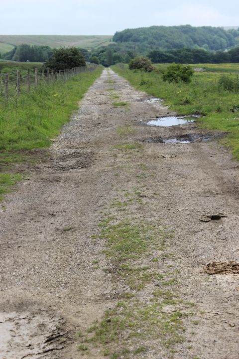
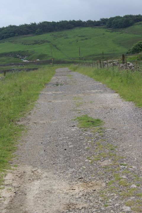
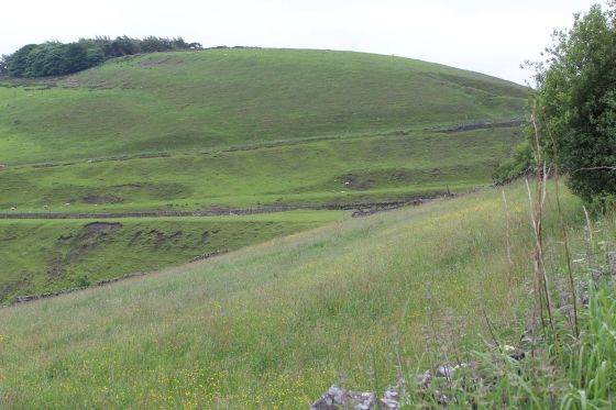
The following views are looking down on the track bed as the height increases while you progress up the path.
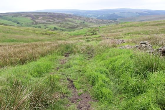
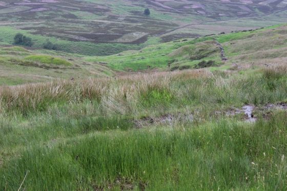
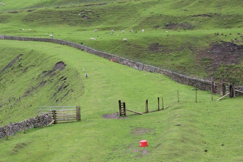
At the summit of the climb. Left: The boggieness of the ground can be seen in the foreground. Some parts are difficult to cross without getting a bit muddy underfoot.
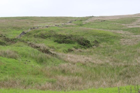
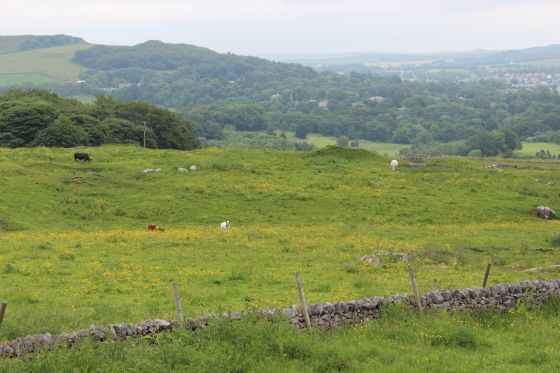
It would seem a simple thing to just walk over the hill towards the southern tunnel portal but apart from the boggie ground and deep grass you come up against a strong dry-stone wall with a barbed wire fence that are
on private fields with cattle and Sheep grazing. Likewise, you can't see the tunnel as it is below at the base of the valley. Right: You can see the track bed running southwards towards Ladmanlow, which can be traced
just above the horizon line, to the far left where the Goods Yard site is, in the trees.
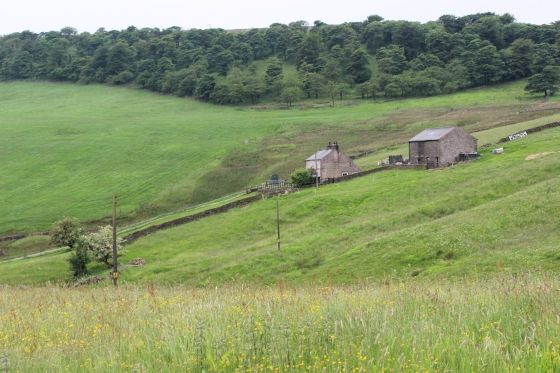
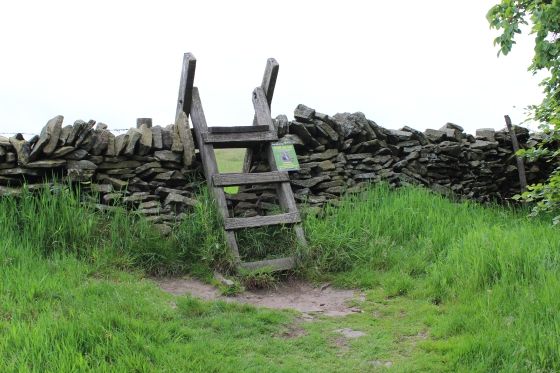
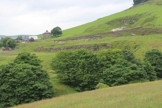
Left: You next come to the steps to take you over the field wall and down to Bishop's Lane. On the right you can see the track bed as it heads for the short tunnel on Old Macclesfield Road, Burbage.
Right: To your right is the farm house above the south end of the tunnel entrance, which is below to the far left, but out of sight..
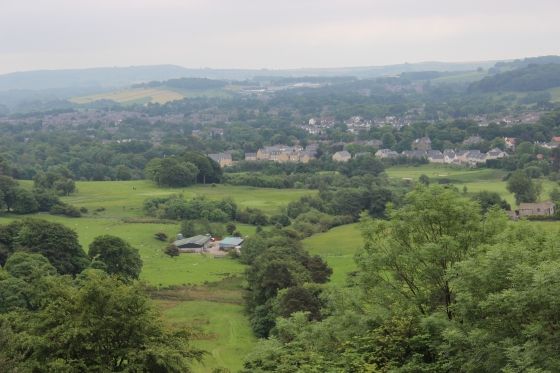
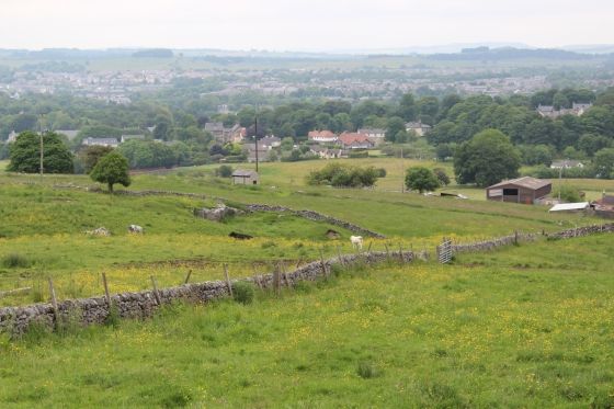
Right: The steps from the south side of the walk over the hill. Right: View over Buxton from this spot.
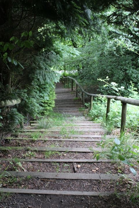
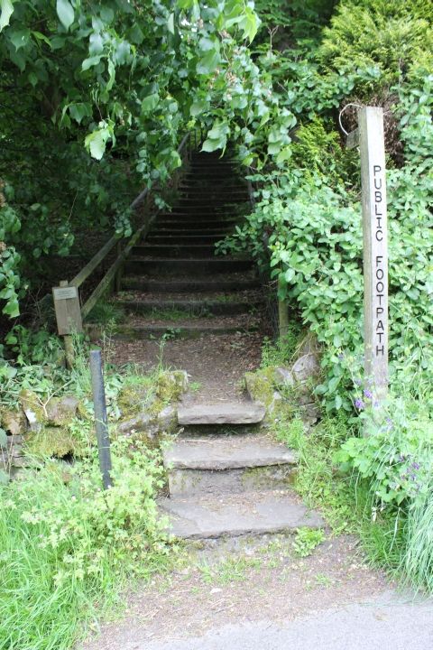
Left: Top of the steps from the high footpath that takes you down onto Bishop's Lane. Right: The steps, from Bishop's Lane looking up the hillside path.
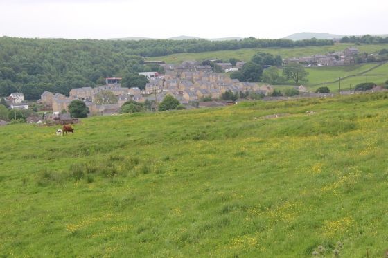
Left: Bishop's Lane from the bottom of the steps. Looking eastwards. You turn and walk westwards to get to the tunnel site.
Right: The other entrance too and from the high footpath.
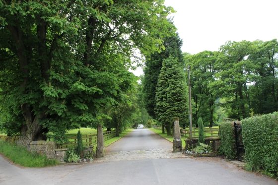
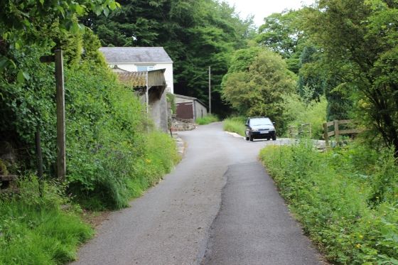
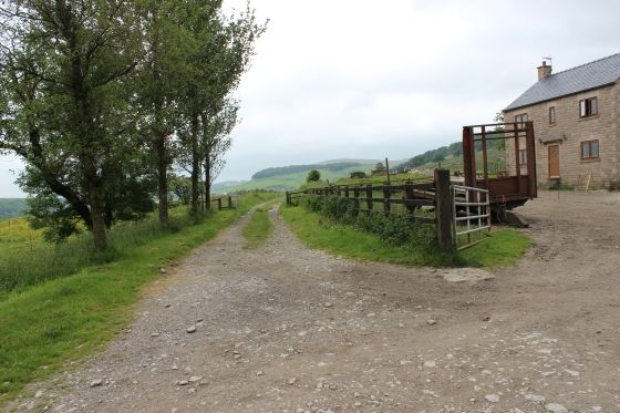
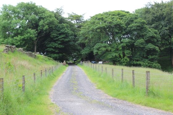
Left: At the west end of Bishop's Lane having walked up from the Steps there are two stone pillars on each side of the road leading from the Flex Estate. Just in front of you the lane from Burbage Tunnel drops down
the hill and crosses Bishop's Lane at this point, as seen here. Take the path on the left and the steep road that will take you onto the old trackbed once again. Right: Looking down the steep road.
It is apprx. 1 in 8 to 1 in 10. N.B. Please see June 2016 update comments below.
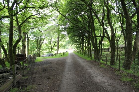
At the top of the path with the track bed running left to right.
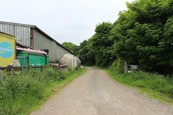
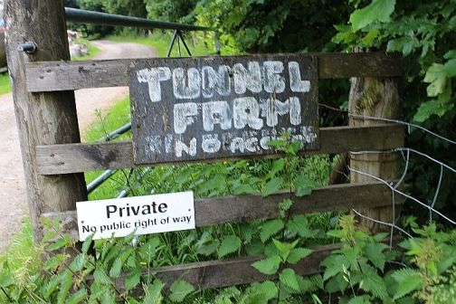
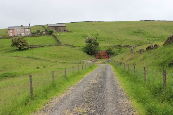
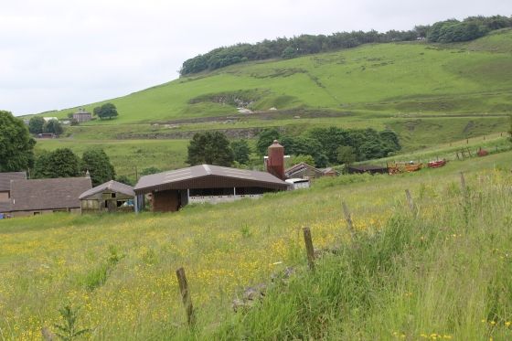
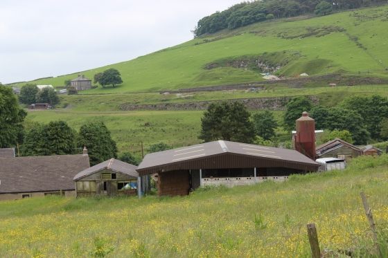
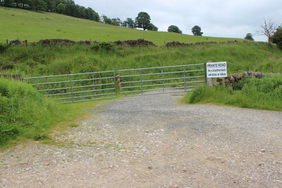
Left: Entrance to the private Farm and to the tunnel. Right: Take heed of the strongly worded warning notice and seek permission before going up to the tunnel and taking photos. The people are friendly
enough but have had probems, especially with young people who have even try to break into the tunnel. A bit of common sense and respect will be appreciated. I can share their concern that with recent
publicity and growing interest in the C&HPR and the tunnel can bring an annoying and regular approach by individuls or groups showing upand demanding entrance, or even worse, totally ignoring
the notice board. N.B. There is a house and farm next to the entrance, a seen above left. This is not part of the same farm and owner of the land and farm by the tunnel.
UPDATE JUNE 2016
Please don't go beyond the Tunnel Farm notice board. You are not allowed access beyond this point and should
not go up to the tunnel. I don't know how you get to ask permission as you could stand there for many hours
without seeing anyone, so going up to the house is really a No-No, you will not be welcome. Personally, I have no
desire to return to this place. I didn't go there to upset anyone or get into arguments, merely to see and photograph
the tunnel then leave. However, others in the past have upset the land owner such that no-one is welcome any more.
Also, be aware, the track bed from the tunnel to where it ends at the Old Macclesfield Road is also completely private
land and you should not walk over that part either.
I shant be returning to this spot, it really isn't worth that sort of hassle. My experience with the land owner on this
ocassion was not nice at all and I really didn't need that bad experience. It spolied what was otherwise a very
enjoyable walk from Whaley Bridge up to that point. My advice is, just stay away from there.
======================================
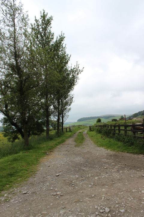
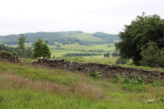
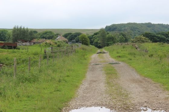
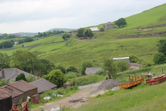
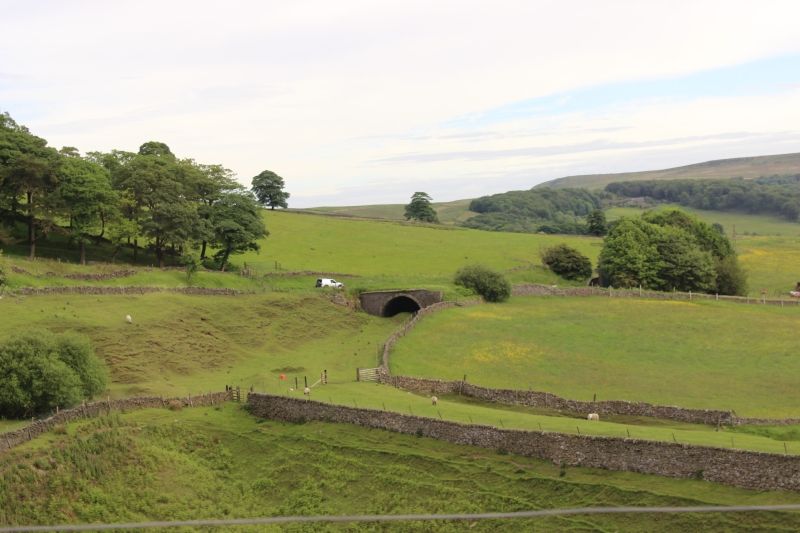
From the top of the hill from Bishop's Lane (Left) and on the track bed, looking towards Ladmanlow.
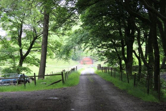
Now, looking northwards to the tunnel entrance.
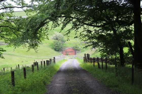
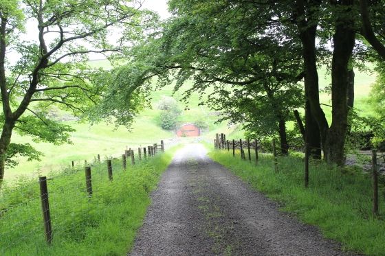
Ditto.
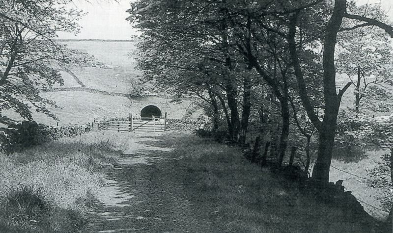
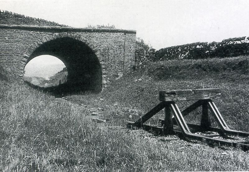
The abandoned track bed towards the south tunnel entrance. 1961. (By John Holroyd). Virtually the same spot as in the photos above.
(From The Cromford & High Peak book (Revised Edition) of John Marshall's book).
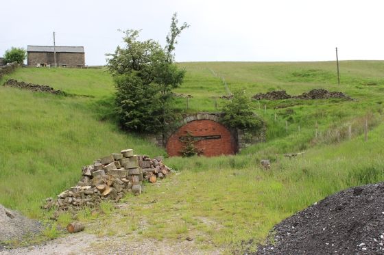
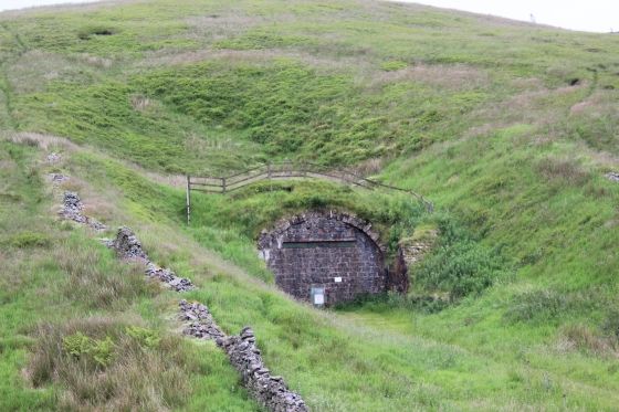
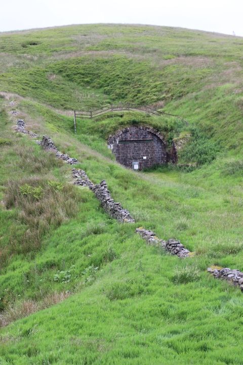
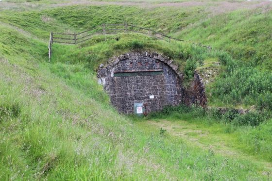
The South Tunnel portal as it has stood unused for 122 years since the last train passed through. It is sad that the route only lasted 61 years and never reached it's planned potential. The time and effort taken to build
the route and structures and the workers and staff who died in it's construction have been left a legacy.
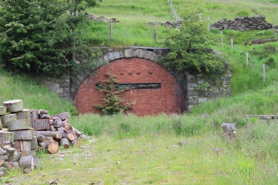
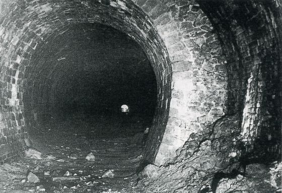
Right: The reinforced lining is clearly seen here. May 16th 1953. (By E.R. Morten). You can see clearly through the tunneal and at how close the northern portal is in comparison with today where you
have to walk up over the hill and down to Bishop's Lane to reach the other end.
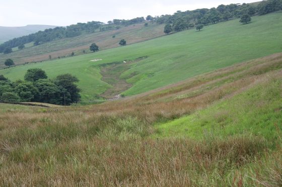
The track bed was straight ahead but today the road takes a turn (in the foreground) and goes up to the farm.
N.B. in the 1961 photo above, the farm and house did not exists.
==========================================================================================
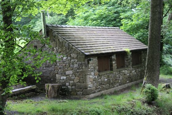
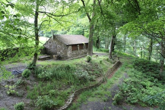
This nice stone building stands on the east side of the track bed and I wonder if it may have been part of the railway originally! Or it may be used by the communications people who have cables going
through the tunnel.
===========================================================================
Looking back, half way between the tunnel and junction with the lane down to Bishop's Lane.
N.B. Please take heed of my June 2016 update comment in regards to this section of the track bed.
Left: Back towards the tunnel. Right: Towards Ladmanlow.
Back towards the tunnel.
Left: View across the valley to Ladmanlow. The long building in the back ground (Left of centre) is on the track bed and Ladmanlow station site in the trees, far left.
Right: View from the track bed towards Buxton.
Left: Views over Buxton. Right: View over Ladmanlow and the new estate at Grin, where the quarries were that had a branchline from Ladmanlow.
Left: Track bed towards the Tunnel. Right: Towards Ladmanlow. You can just make out the 'green' track bed, ahead of the short tunnel just up ahead by the old Macclesfield Road.
Views across Buxton from the track bed.
Left: The curve leading up to the short tunnel below Old Macclesfield Road. You make out the track bed running horizontally across the valley, to the left. Right: View across the vallet to Ladmanlow.

Right: I didn't realise it at the time but was thinking the line followed the present way directly beyond the gate. However, it was quickly became clear that the track bed into the tunnel was through the grassy mound
on the far right. The rising fence and curvature of the trees follow the shape of the north side tunnel entrance.
A final look back in the direction of the tunnel.
The gate protection traffic from entering the north side of the track bed. N.B. Another warning sign of the private land beyond. The track bed didn't come through the gate but continued straight into the short tunnel
which was on the extreme left, behind the gate. This side of the tunnel has been filled in.
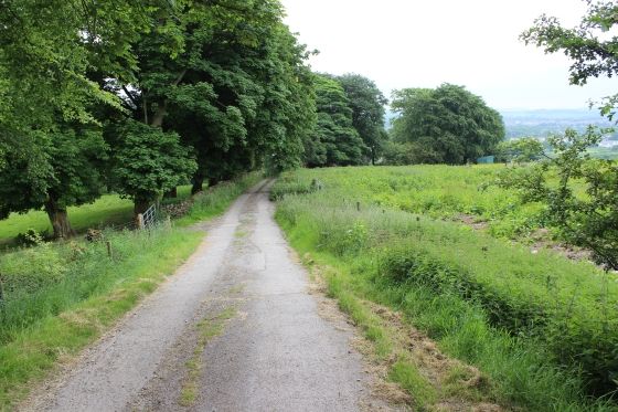
It's a pity that you can't walk the track bed across the valley to Ladmanlow but but must take a long detour down into Brurbage and a good mile to the road junction that allows you to get onto the road that takes
you up to Ladmanlow, another good miles' walk.
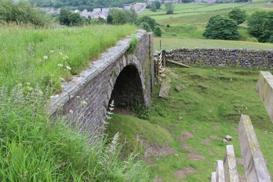
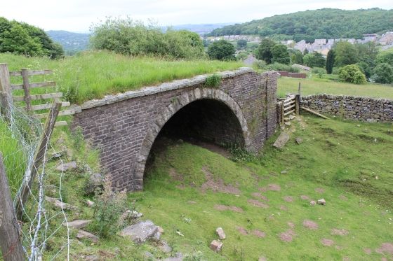
The bridge, or short tunnel at Burbage. It has been filled-in at the north end and part way to the southern end. There is no sign of it on the north side of the line. Just a grassy heap that indicates where
the entarnce had been.
The short tunnel. Taken from the Macclesfield-Buxton bus as it dropped down into Ladmanlow. Friday, 13th June 2014.
The stop blocks represent the end of the track north of Ladmanlow since the route to Shallcross closed in 1892. Ladmanlow Goods Yard was closed in 1952.
Burbage tunnel is up ahead but not seen due to a lefthand curve. This photo was taken in 1941. The year of my birth. (By John Marshall).
The pleasantly green track bed and embankment as it curves away from the short tunnel, towards Ladmanlow. Only Sheep graze
on it today.
As you can't walk this section of the track bed the next walk stated from the other side at Ladmanlow.
--------------------------------------------------
To: LADMANLOW TO HARPUR HILL
=====================================================
Back to C&HPR Index
My Thanks To......
Whaley Bridge Photos for their kind permission to use old photos of the Whaley Bridge to Shallcross section. These and many old photos of Whaley Bridge can be viewed at:
http://www.subn.org/whaleybridgephotos/trains.php
John Evens (JodrelAviator) for the use of his xcelent colour photos of the C&HPR in the 60'd & 70's. John's Fickr photods are at: https://www.flickr.com/photos/the-evanses
John Neave for his kind permission to use a number of his 1960's photographs when the railway was still in operation. Check out John's ''Going Loco'', which includes a C&HPR history. At....
http://goingloco.neave.com/
Mark Norton for the use of 1940's photos by his late father Dennis J. D. Norton. http://www.photobydjnorton.com/CHPR_Menu.html#Links
To the son of Geoff Plum for the use of his late father's phots. Plumb Loco is at: Plumb Loco (By Geoff Plum) Photograhs
Reading: The Cromford & High Peak Railiway by John Marshall. Published by Martin Bairstow. Printed by The Amedeus Press 2011.
Other Railway Walks....
The Dundee & Newtyle Railway The first passenger railway in Scotland opened in 1831, which had three inclines operated by stationary steam engines. The main source of income was from
the numerous stone quarries in the area and local farming produce. Passenger numbers were always sparse.
The inclines were abandoned in the mid 1800's by new deviations that allowed through locomotive running.
The line also included the Dundee Law (Hill) tunnel built at 300ft above the City. Both the north & south portals of the tunnel are buried below modern housing schemes.
Passenger services ended in 1955 and the line closed completely in the mid 60's under the Beeching Ax.
Unlike the C&HPR none of the Engine houses were preserved. The inclines can still be followed but sections have been back-filled or ploughed over
This web site tries to cover as much as possible.
Boddam To Ellon Branchline Built by the GNSR in the latter part of the 20th century. The passenger service only lasted until 1934 but goods remained up to total closure in 1949.
The GNSR built a large Golf course and Hotel at Cruden Bay, with an electric tramway between the station and hotel. All that remains today is the Golf course. One of thetwo elctric trams has been
fully renovated and is on show at the Grampian Transport Musem in Alford.
Other web pages....
Kittybrewster Memories. Kittybrewster Loco Depot, Aberdeen.
Tivoli Memories The Tivoli Theatre, Aberdeen.
Hosted by www.theatreorgans.com
BACK TO HOME PAGE
This page brought to you by:
VintageHammond.Com - We Buy-Sell-Trade Vintage Hammond Organs