North & South Uist (Page Three
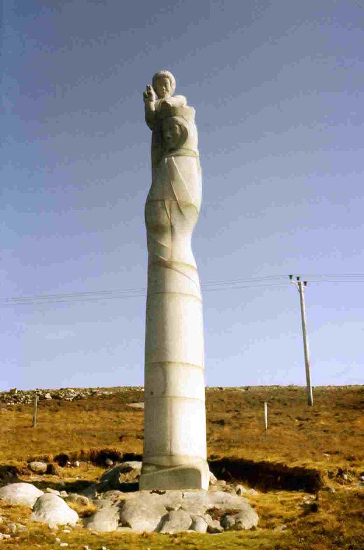
Along this lonely stretch of road, near Gernish, you will suddenly come across the high concrete statue of Mary & Child, built in 1957.
It is similar to the one on Ben Heaval (Barra). It overlooks the plain towards the sea.
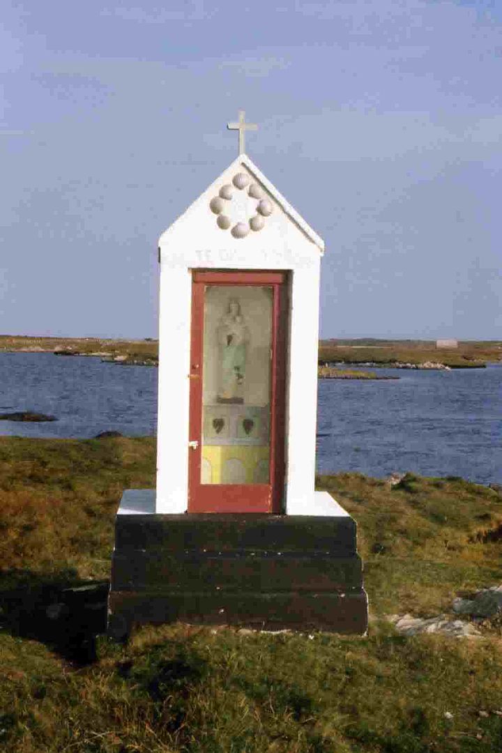
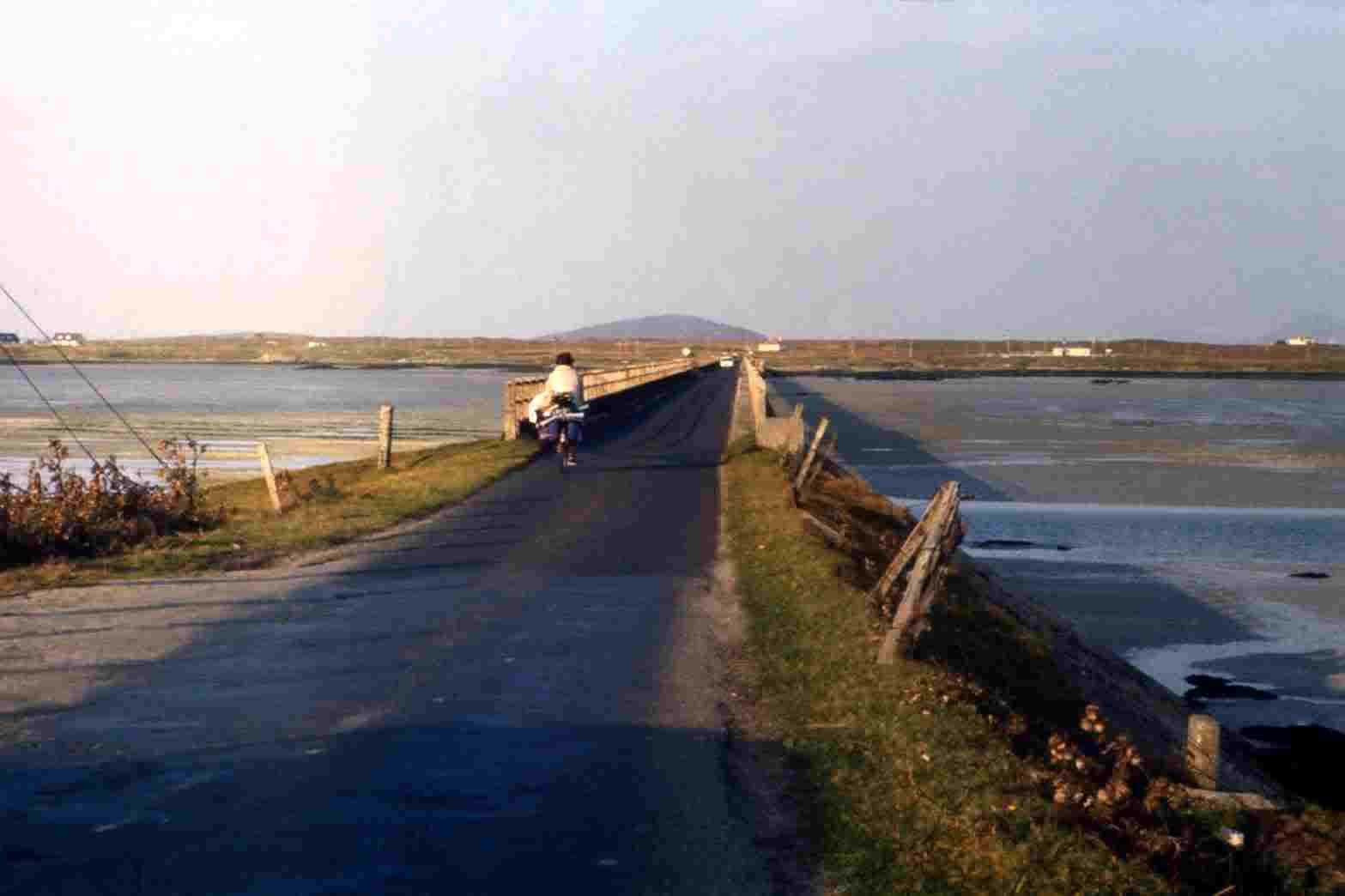
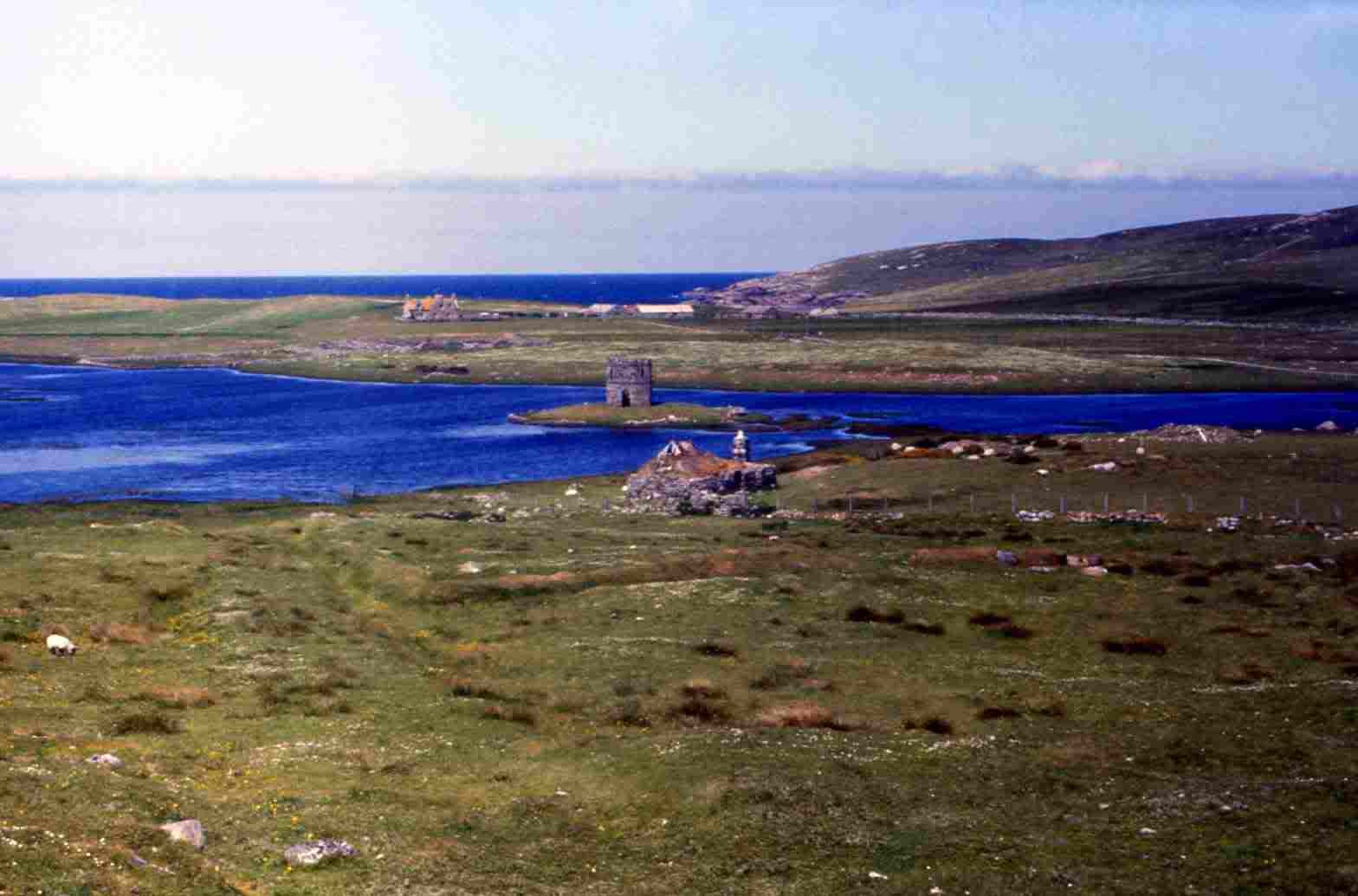
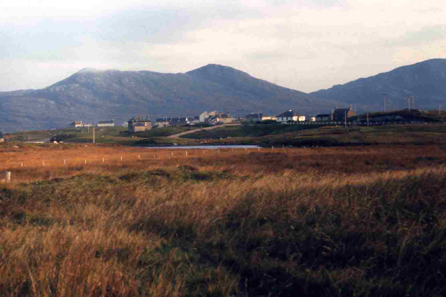
Sth. Uist being manily Catholic, you find religous statements such as this roadside Shrine and Statue.From here South Uist is coming to an end and the land you cross through is so riddled with lochans that it feels like another island. You are about to start
crossing the first of the three causeways (Fords) that were built by the Army to join South Uist with Benbecula and then North Uist. They were all originally
Fords passable only when the tide was out or by small ferry, but today there are fine long Causeways that make both an interesting drive and `picture`
opportunity. The first causeway is just after West Geirnish as you cross Loch Bee. A 'C' road turns to the right to the hamlet of Carnan at the head of
narrow loch Carnan, which has a number of small islets off shore. A few hundred yards north another 'C' road turns of to the left to Clachan at the
mouth of Loch Bee and crosses the loch to Ardivachar (Ardivachar point). North again and at Clachan Hotel the next causeway (South Ford) is crossed
to Creagorry on Benbecula.While you can stick to the A865 and cover the center of Benbecula in ten minutes or so, it is worth staying a while and discovering the southeast (B891)
to Bagh a'Faoileann (Bay of the Seagulls) with the small islands of Steisay and, larger Wiay. Or take the B891 around the western coast road via
Balivanich (Benbecula Airport) to rejoin the A865 at Gramisdale. The island is mainly flat and riddled with lochans (small lochs).
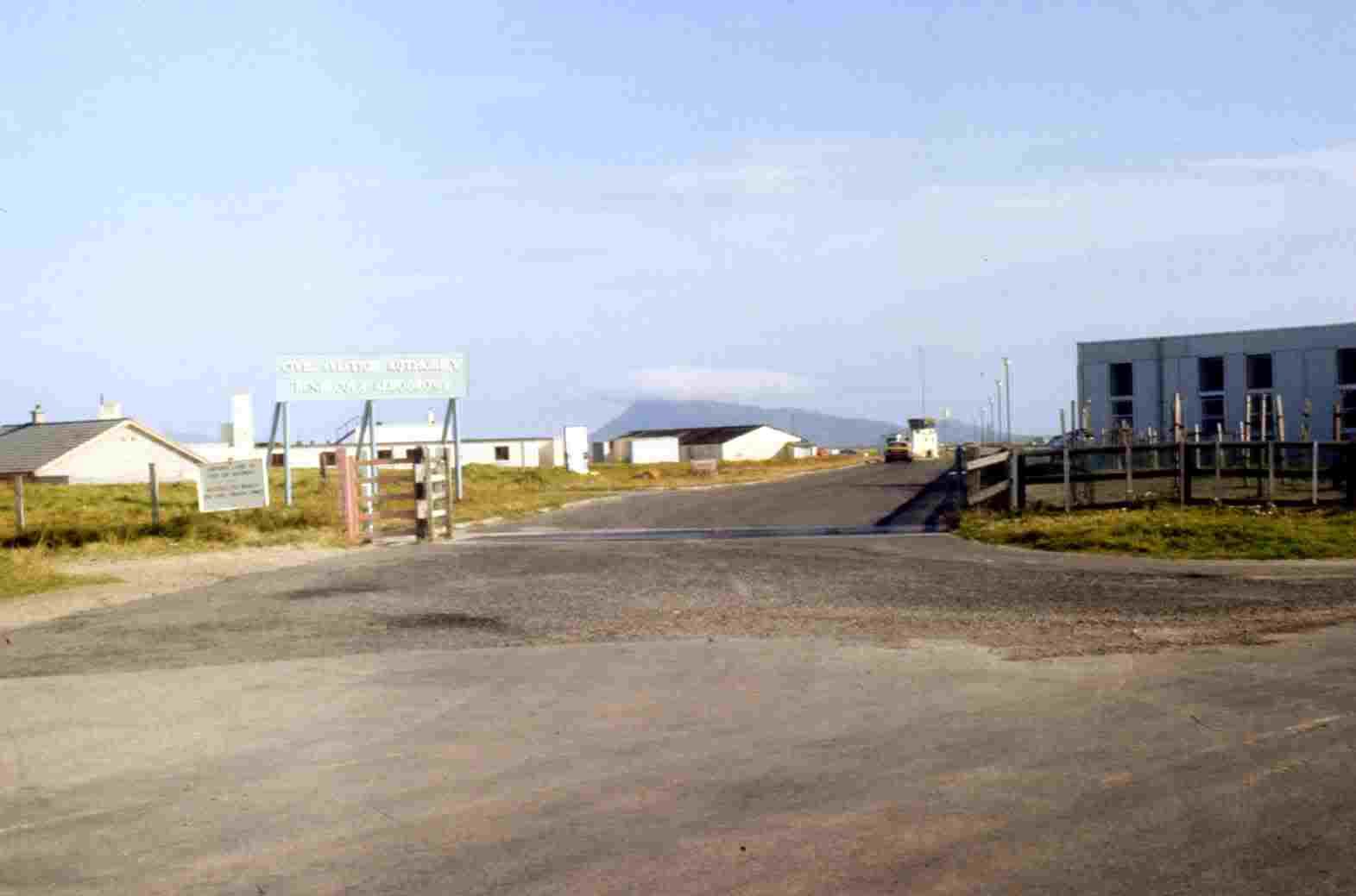
Entrance to Benbecula Airport. Ford between Sth Uist and Benbecula.From Gramisdale you cross the Oitir Mhor (the big beach) on the next Causeway (North Ford) which also crosses two other islands. First a tiny islet then
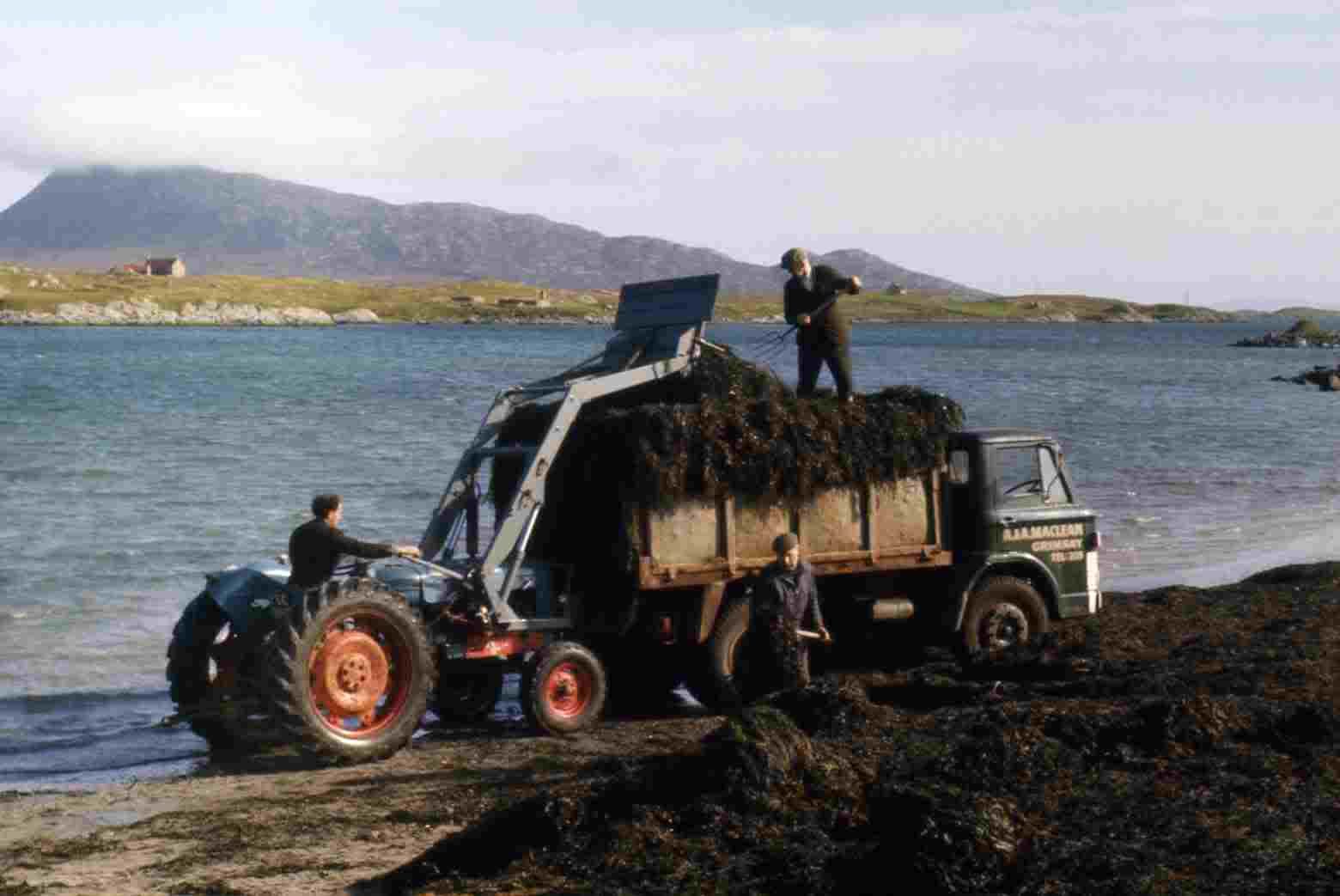
the northern edge of Grimsay Island, on a long curve onto North Uist at Bail Uachdraich, which has a side road onto the small peninsula and Carinish village.You continue north on the A865 over a another narrow stretch of lochans. This is a particularly nice spot and at the loch edge you may see men, trucks and
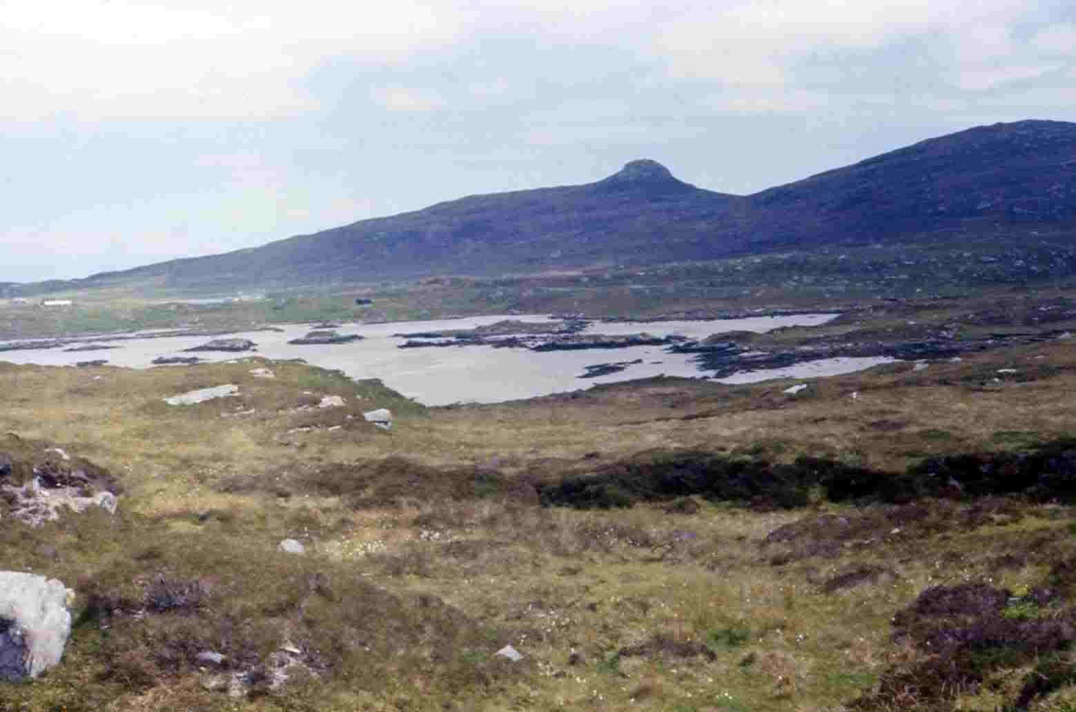
tractors at work gathering Seaweed. This is a fair sized industry where the seaweed is dried and shipped from Lochboisdale to the Scottish mainland and
England where it is used in many household products as well as some foods. There is nice views over the lochans to Ben South Lea (920'), Ben North Lea
(821') in the north and Ben Eaval (1139') ahead.
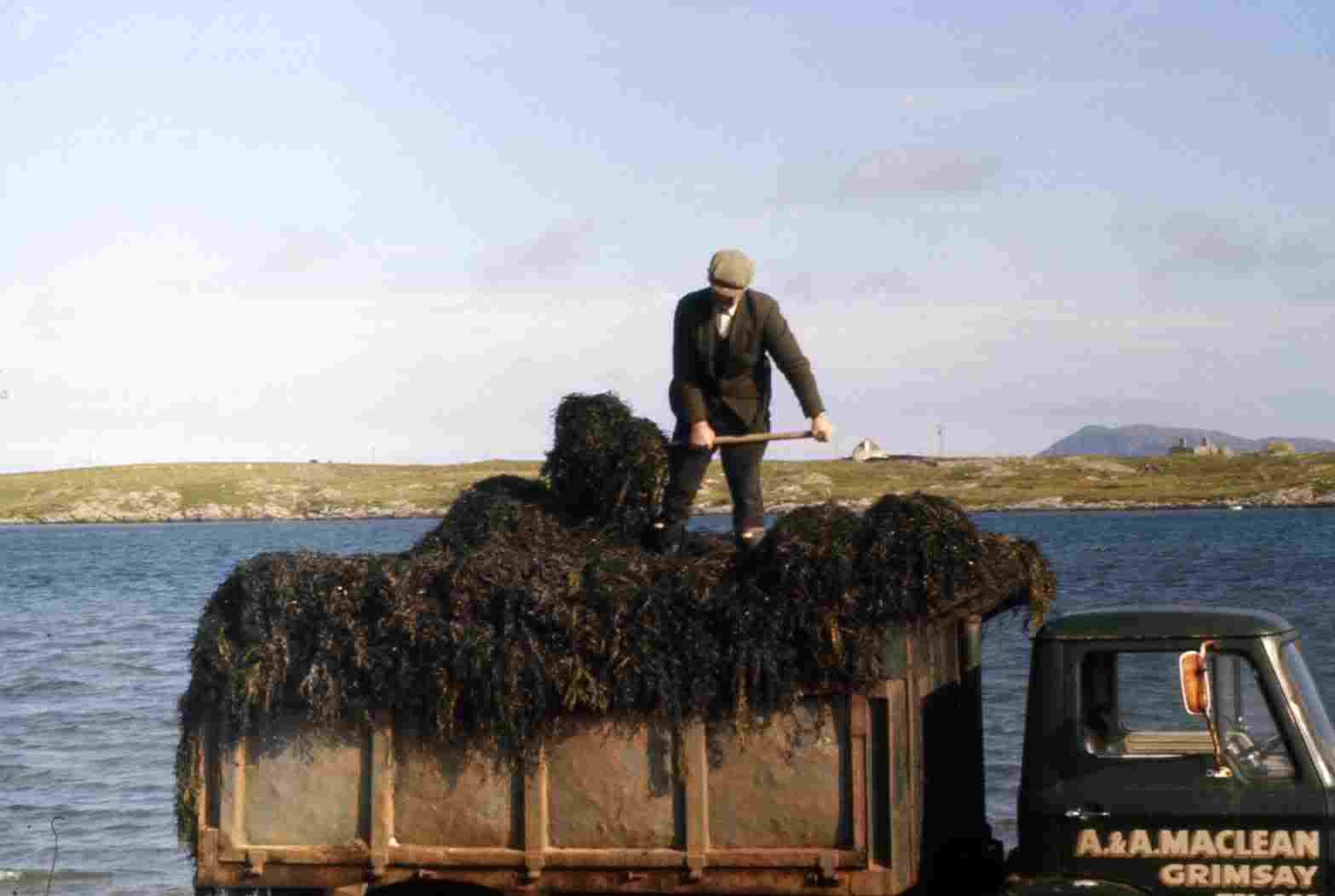
Seaweed Harvesting, Nth UistA few hundred yards on a 'C' road turns off to the left to the hamlet of Samala on the island of Baleshare, crossed on a bridge. I haven't managed to do
this route as yet.
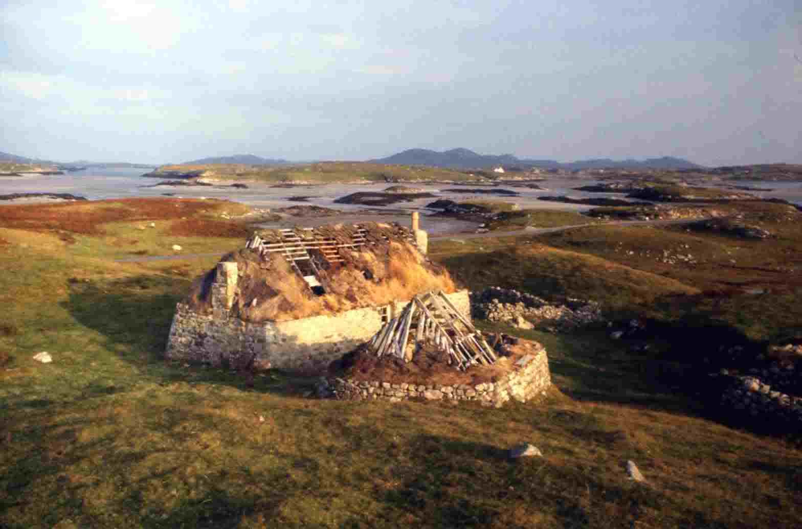
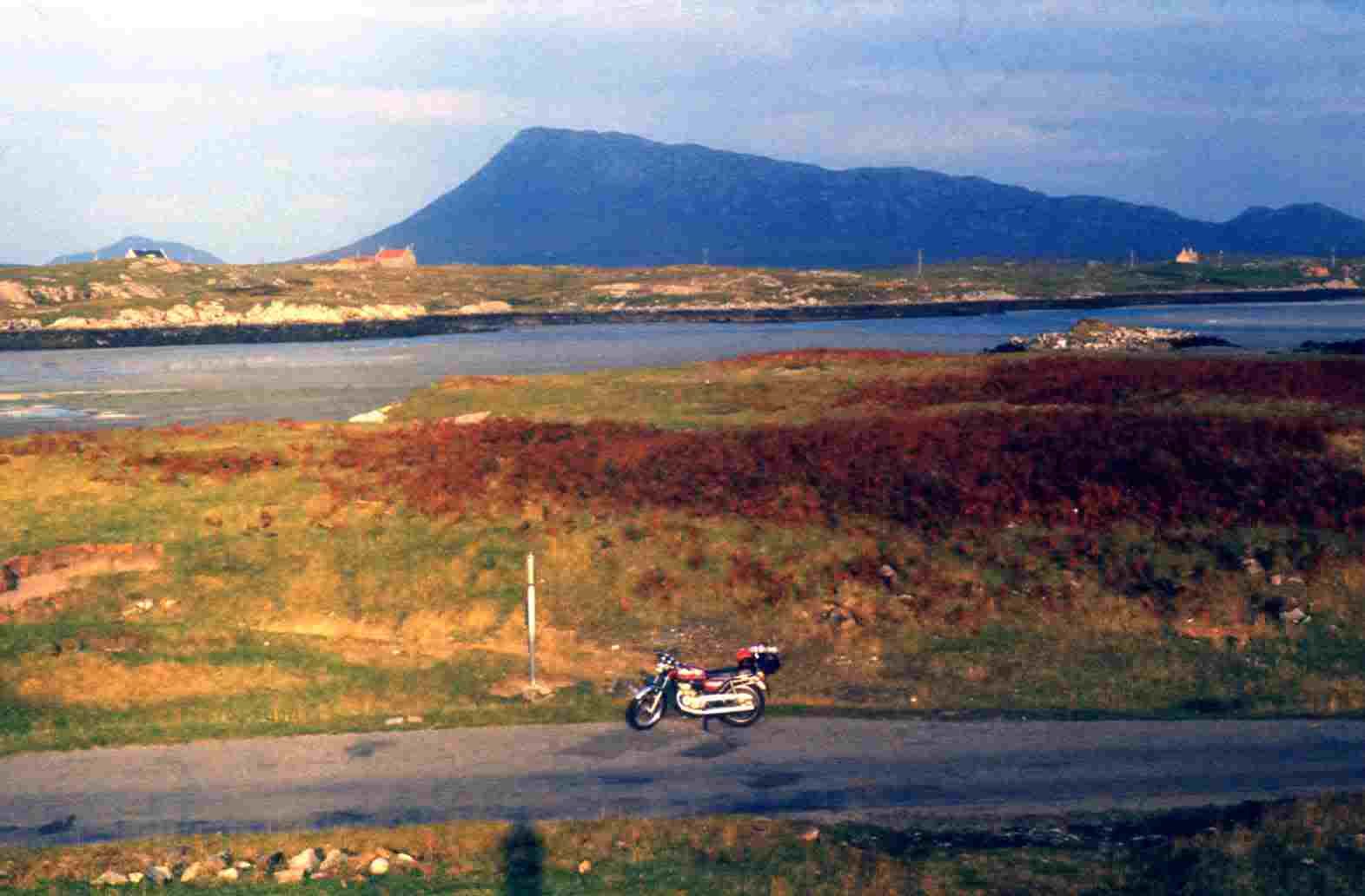
Ruins and Lochans. Motorbike, Loch and MountainYou now come to Clachan, which is another small crofting hamlet and at the junction of other two roads. The direct A867 cuts northwest Lochmaddy
(The capitol of North Uist). Just ahead past the post office the B894 goes to Locheport then continues as a track for another couple of miles to
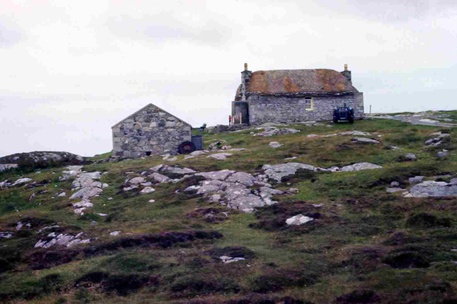
Sidinish at the head of Loch Eport midway between Bens` North & South Lea. This is a tiny group of crofts set on the edge of the hilltop overlooking
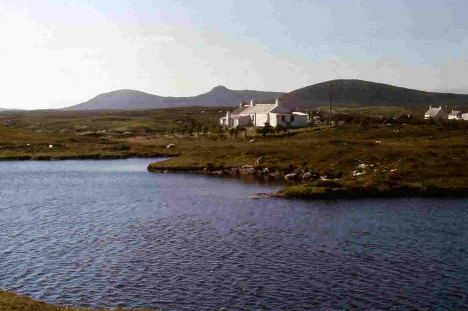
loch Eport and the flat land of numerous lochans towards Lochmaddy. There is also an Electric Power station run on peat (one of the few).Locheport is where my old 'Gaelic teacher' friend Donald Boyd came from and is now buried in the small graveyard. It would be nice to pay my
respects one day. The first time I went there I didn't realise it was Donald's birthplace, until he told me later.The direct A867 hasn't much of interest thought there is a few pleasant and picturesque spots and there is a few good pictures to be had on the
approach to Lochmaddy as the houses nestle below the mountains. The total distance is about 45 miles from Lochboisdale.At Clachan the A865 takes the long west coastal route around North Uist and has a number of picturesque and interesting places. You first
travel westwards with the islands of Baleshare and Kirkboast just off shore with the Monach Islands (Heisker) out in the sound of Monach.
Inland is very barren with only a couple of small peaks to break the skyline. The tallest is Marrival (756') which is virtually in the center of
North Uist.After passing the hamlet of Claddich Kirkbost (Gaelic: Dwelling of the Church by the Shore/beach) you head round the end of the beach
and have land on both sides of you pass the hamlet of Bayhead, with a side road to Paible at Rubha Raouill. Continue northwards and the
road starts to curve around the top end of Uist, passing small lochans at Tigharry and Haugharry and on through Balmartin. The better
metelled A865 becomes a more twisting and graded route where some care is needed, but it also signals a change in the scene which
becomes a little more interesting.Around the headland and you start heading eastwards. The road curves around Vallay Strand (beach) with the island of Valley off shore.
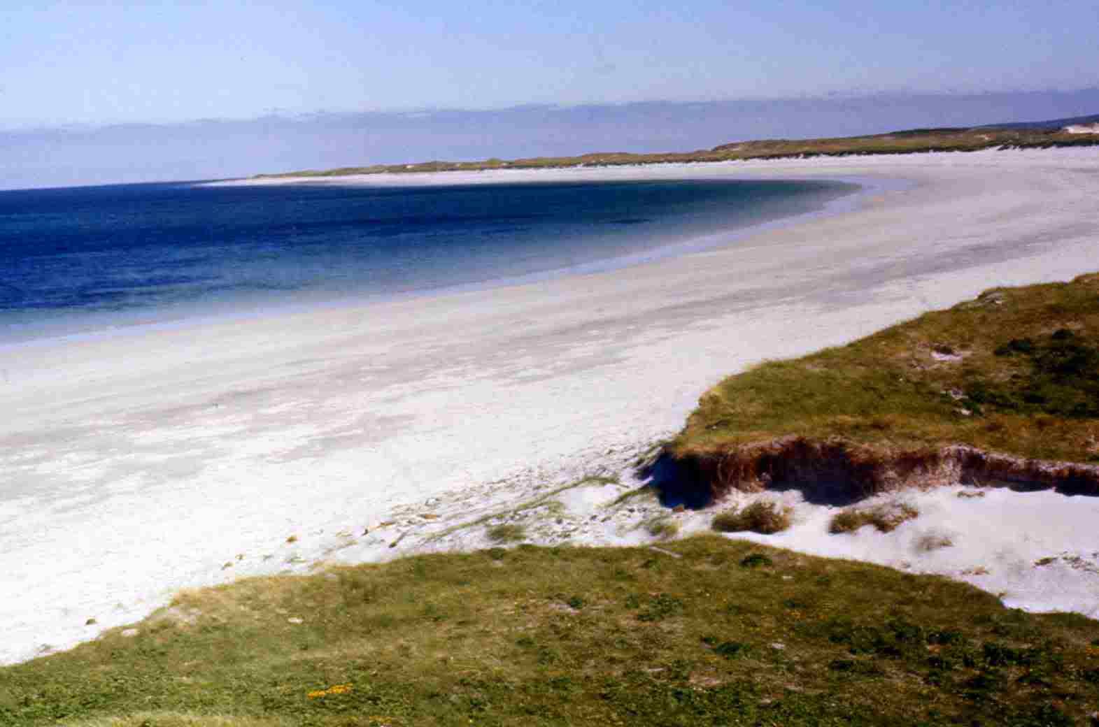
You are greeted with a long white sandy beach and reach the village of Sollas (Gaelic for Sunny or Bright). It is worth stopping a while
and walking the lovely bright beach. On a sunny day it is quite sparkling. There is a castle shaped building out on the bay that helps add
interest and make a picture or two.
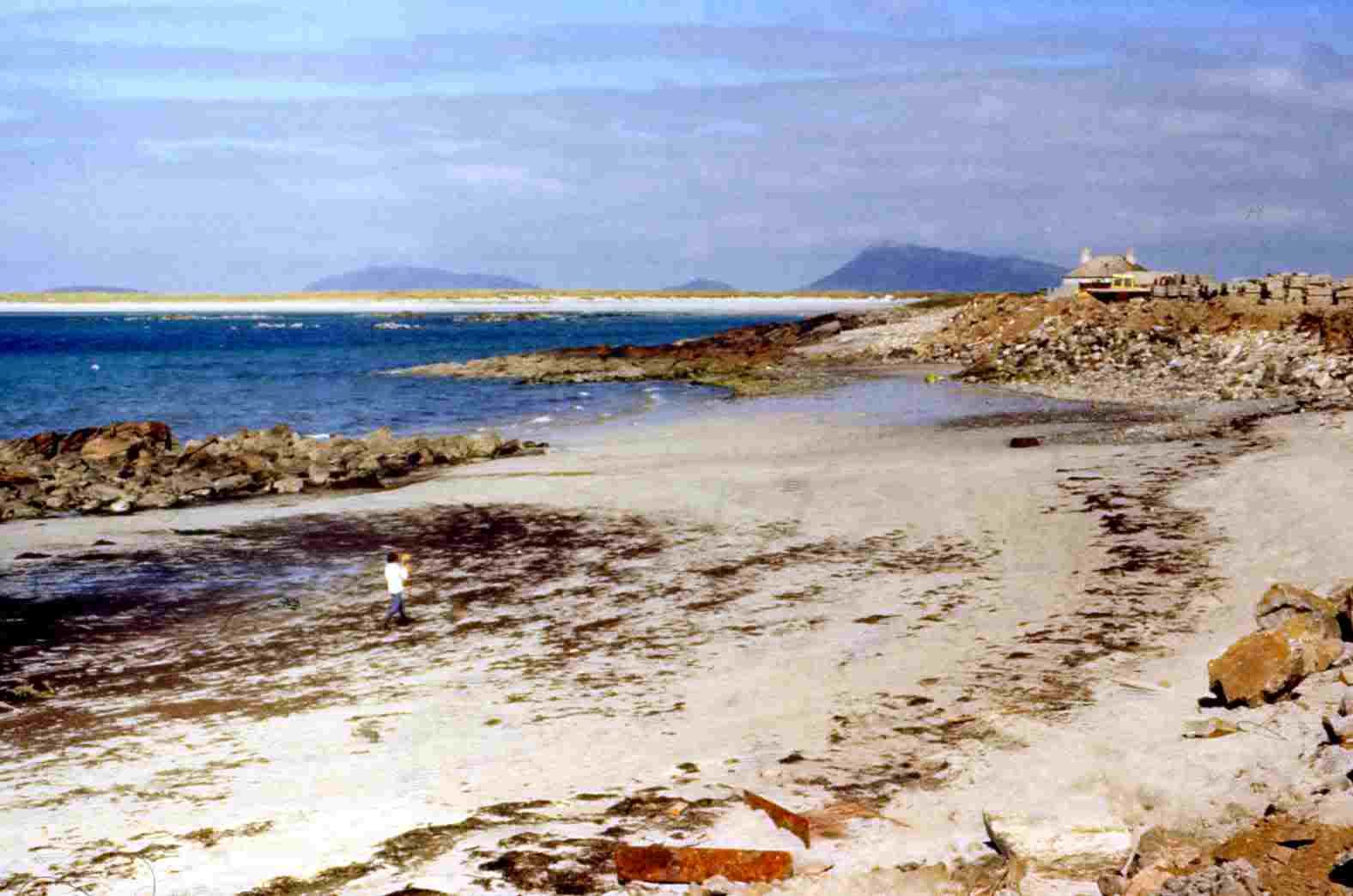
The white sands of Solas BeachNext past Grenetote and the road winds between two lochs. Loch Nan Geireann is to the south and the bays looking out to sea. And looking north
towards the sound of Harris with the Islands of Boreray, Bernaray and Pabay. At the base of Crogary Mor (588') there is a ruin of a Dun.A half mile on you come to the road junction with the B893, which strikes north to the headland at Newton. This is a very wild and empty road but
with Ben More (623') changing it's shape as you travel. Find the right spot and there is an unusual picture or two to be had using the mountain as a
background.Newton is a tiny hamlet set around the bay. There is a ruin of a Dun above the east shore. A small ferry plies to Berneray and also to
Rodel on the southernmost point of The Island of Harris.You must turn back to the junction with the A865 and start heading south for the final three miles to Lochmaddy. A quarter mile ahead there is a
'C' road that winds its way to Loch Auldsary but I have not gone this way as yet.
Mountain & Loch scenery north of Lochmaddy. On the Rodel - Lochmaddy road
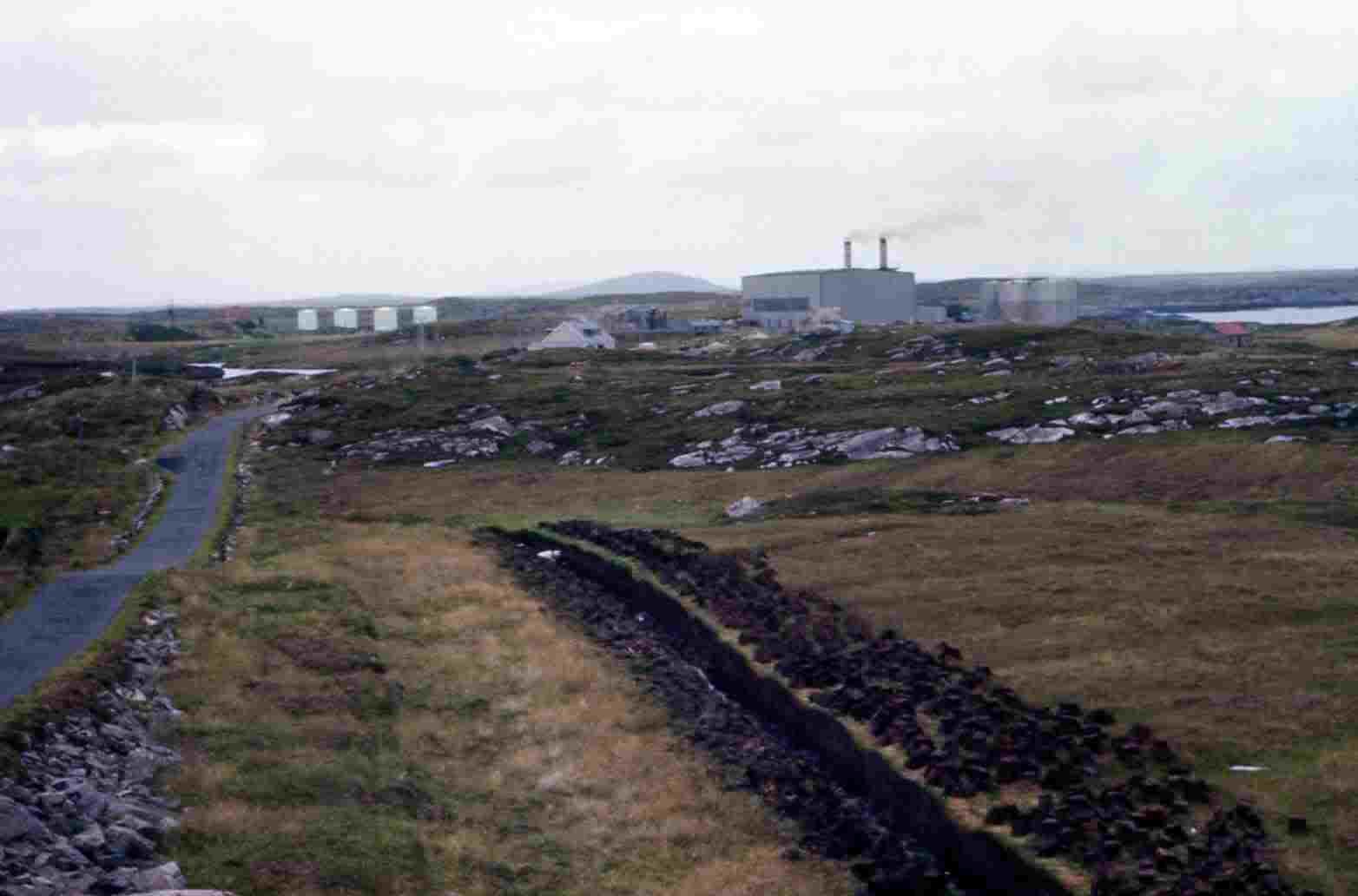
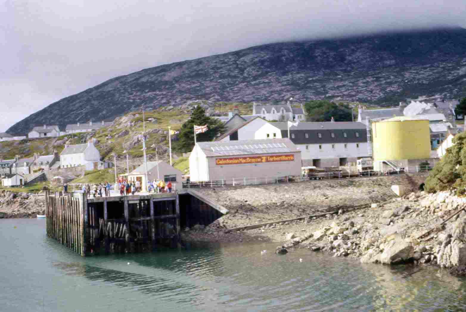
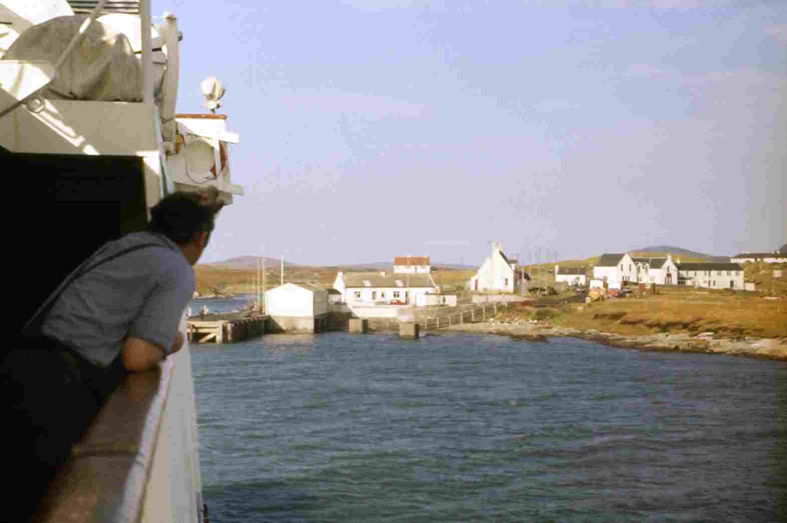
Nth. Uist Power Station. A Blackhouse still in use as a Croft.Lochmaddy (Gaelic, Maddaidh = Wolves. Pronounced as Matt-eh). Gets it's name from two shafts of rock which rise out of the water off shore and
best seen to advantage from the ferry on the final approach to the harbour. They are said to be 'Wolves' guarding the entrance to the loch. The town,
like Lochboisdale, hasn't much to offer. Though a shade larger with housing schemes all around. The harbour is also larger and quite busy. Lochmaddy
Hotel is at the top if the pier. I spent a while here one time when I spent the night on the Ferry (Hebridies). It left at 5.45am and didn't want to waste
time and money on B&B only to get up halfway through the night to catch the boat. The ruins of Trinity Temple lie to the south of the town.The hotel is quite large and has a nice bar and lounge. I planned having a meal before going to the boat to settle down for the night, but I got chatting
to a chap who I thought I recognised and who turned out to be a railway shunter at Temple Mills yard in east London. He had dealt with my trains
many times. He was on a venture trying to land on every island in Scottish waters and had just arrived in Lochmaddy having hitched a lift on a
Trawler from the lonely island of St. Kilda and was making for the Monach isles, when he could get a lift.We then got caught up with a group of locals who had just been to a wedding of a cousin (they were from the island of Belshare). When they found
out what we were doing they invited us to join them for a meal and a drink. And I must admit as well as enjoying a bit of a feast I had far too much
to drink and was thankful I had left my motorbike at the Que. But it was a lovely experience and once I got back to the boat (around 11pm), got
the bike tied down and found my room (in the bowls of the boat) it didn't take me long to sink into a deep sleep. However I was woke up in the
early hours by the rumbling and vibrations of the cranes as the crew loaded cargo.I couldn't get back to sleep and decided to get up and after a shower and shave wandered around the boat and watched it depart, still in darkness.
It was annoying to find that the buffet didn't open until 8am, a long time to go without a bit of breakfast.
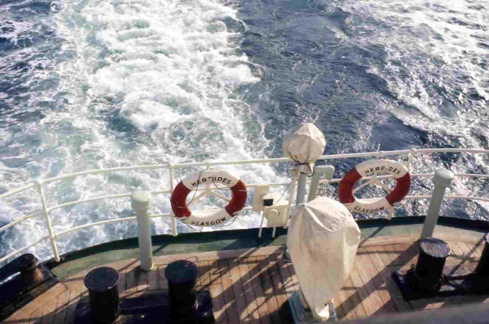
Lochmaddy just to the southThis ferry serves the triangle of ocean between Uig, Lochmaddy and Tarbert (Harris). Directly the journey is about an hour and a half, but if it goes
to one of the other places first it trebles the time. In this instance we sailed to Tarbert (Harris) first.
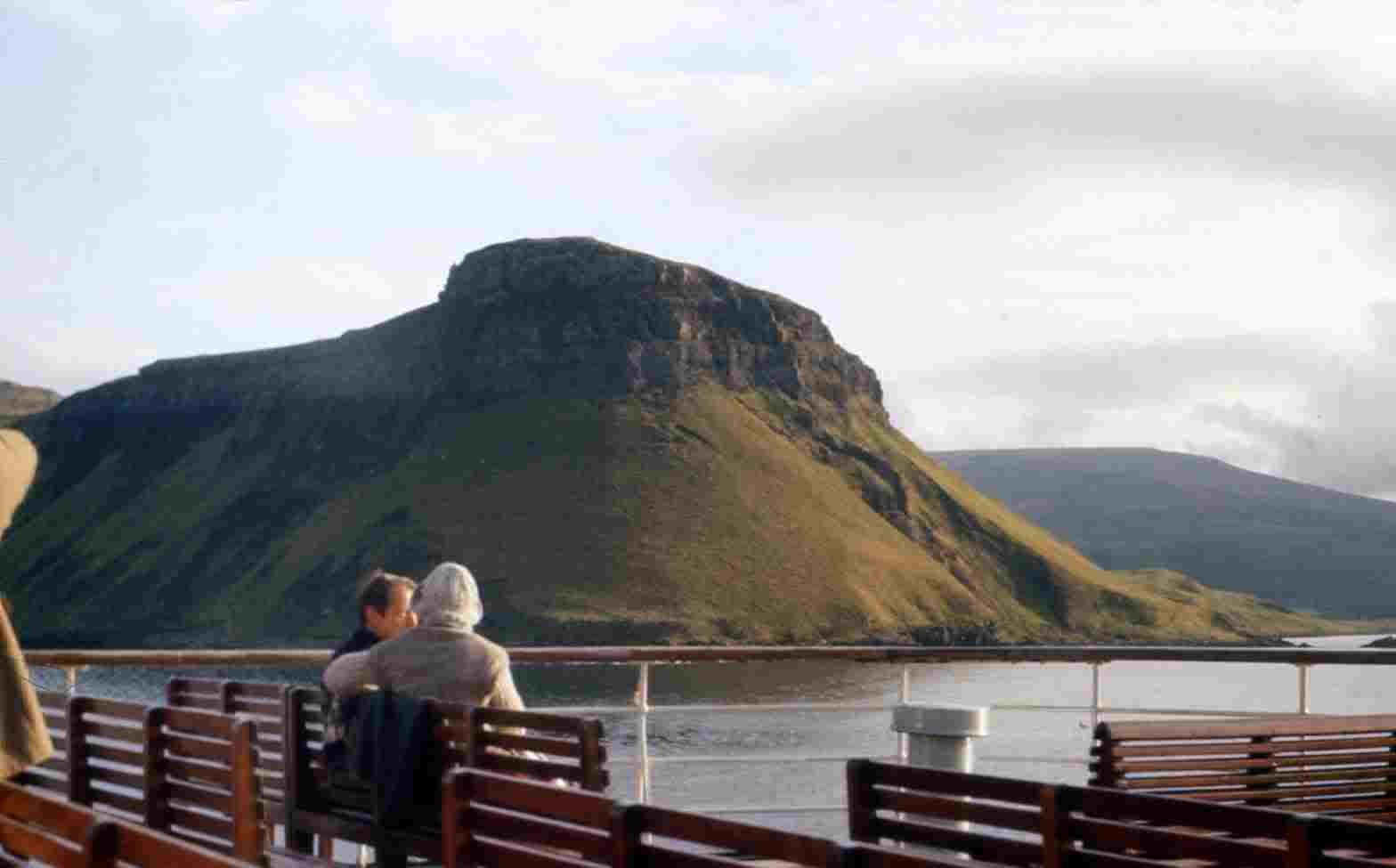
Departing Lochmaddy and approaching Tarbert on Harris on the way to SkyeThe morning turned out nice and bright and I enjoyed the journey with blue skies and the grand mountain and island views between North Uist and
Harris as we sailed northwards on the Minch.The boat eventually turned into the narrow stretch of water up East Loch Tarbert between the north and south shores of Harris. It then runs up to
the narrow strip of land, which separates East & West Loch tarbert and shows the true meaning of the Gaelic name "Tarbert" = Tir land, Bat =
Boat (landboat). Referring to when they used to (and may still do) haul boats and ships over the narrow strip, of land to the other loch, saving
many miles and days of having to go around the landmass.Harris is a magnificent Island of rugged mountains. There were a handful of passenger to come aboard and a couple of cars. Within half an hour
we were on our way again. Once we leave Loch Tarbert I made for the Restaurant and enjoyed a reasonable breakfast. I don't know about
present times, but in those days you got a full meal at prices cheaper than British Rail with full table service.While on deck watching the Peninsulas of Waternish and Trotternish come closer and we sailed up loch Snizort towards Uig, I got chatting to
a chap who had traveled from Stornoway to join the ferry for Lochmaddy. It shows the different way of life in the islands and how you accept
things. He had advertised in the newspaper for a motorbike, at a certain price, and got a reply from a chap in Lochmaddy. He had to do this
long trip just to view the bike, and possibly buy it, or not. What time he got back to Stornoway I couldn't imagine. You couldn't imagine anyone
in the south accepting this just to buy a secondhand gadget.
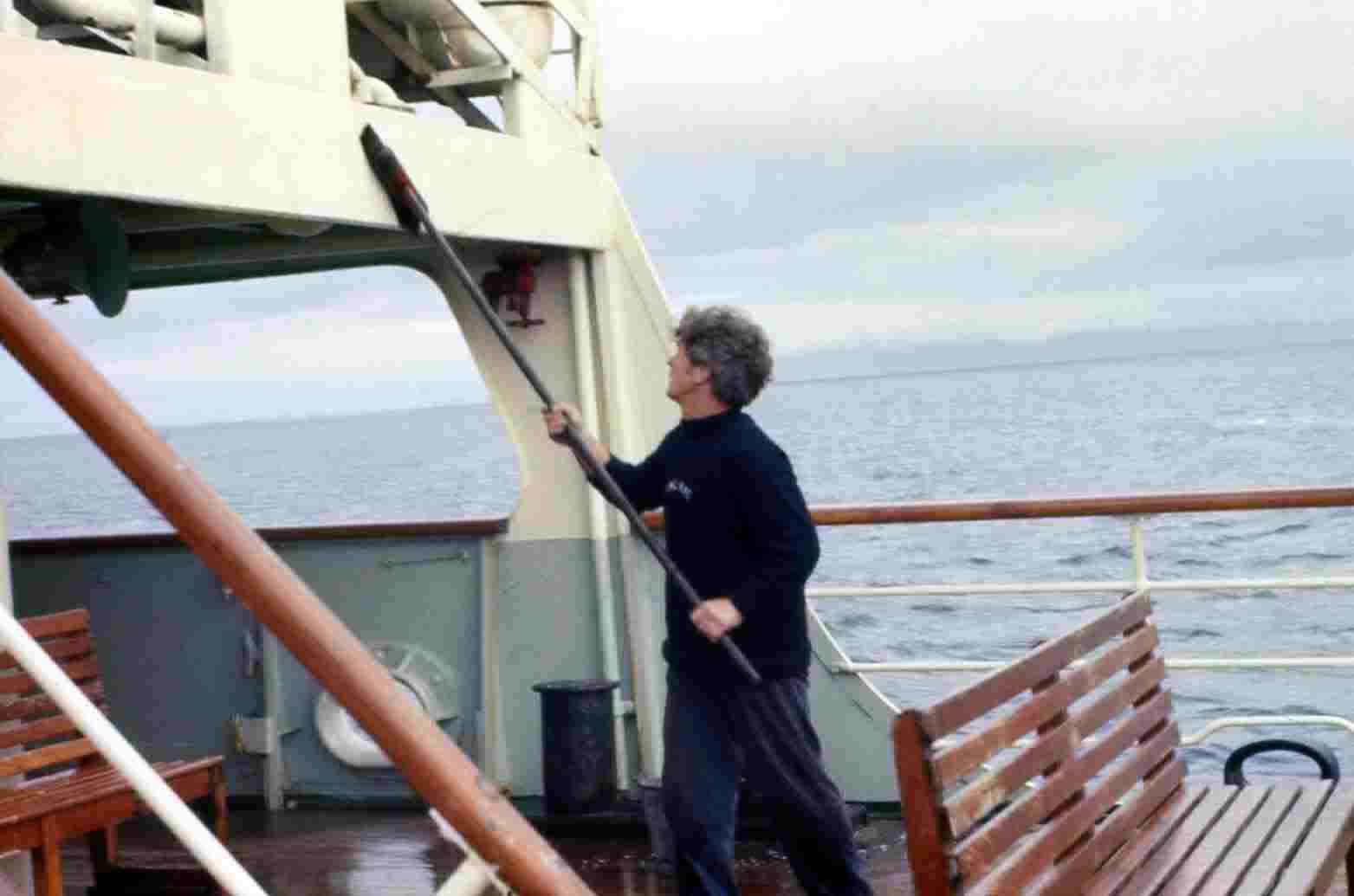
Hebridies crew member gives a clean down. Hebridies under power.
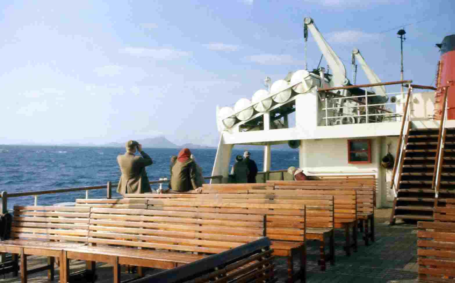
On The Deck of Hebredies. Passing Uig Point at the entrance to Uig Bay and harbour on the Isle Of SkyeThe ferry arrived in Uig right on time and I now looked forward to having two days on Skye before having to return home via Kyle of Lochalsh and
Inverness, and that's another story....========================================================