THE DUNDEE & NEWTYLE RAILWAY
NEW LINE FROM NINEWELLS Jctn TO FAIRMUIR Jctn
(Upate October 2016 (New text in Blue)

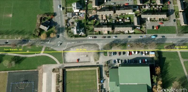
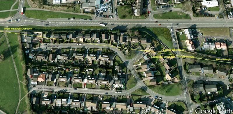
The Lochee branch came off the Dundee-Perth mainline at Ninewells Junction. Stations en-route were Liff, Lochee
West and Lochee. This new line allowed the closure of the Incline railway from Ward Street, through the Law Hill
Tunnel. A new junction was built at Fairmuir where it met the old incline route to Downfield. A goods line went
eastwards to Muirfield Goods yard and terminating at Maryfield Goods Yard.


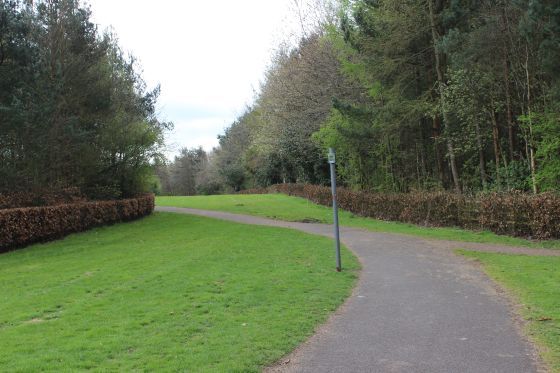
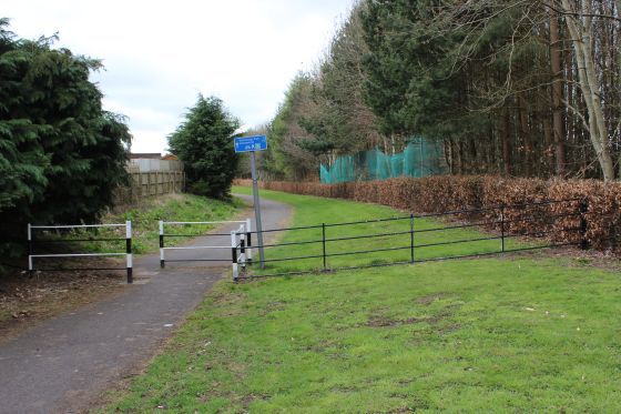
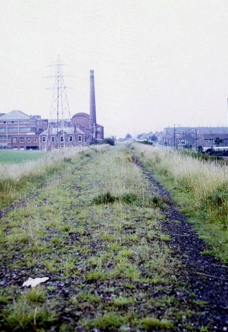
Left: Ninewells Junction Signal box, with the Down Main signal protection the Lochee connection. Right: The leading points off the D&N.

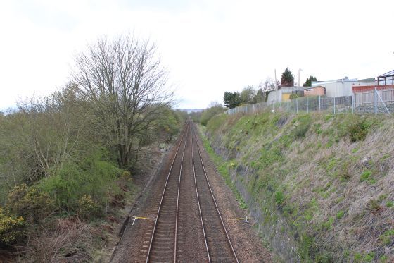
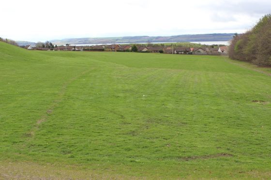
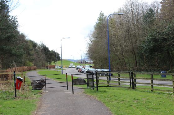
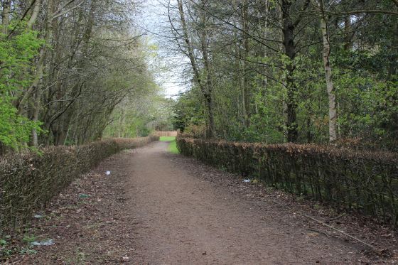
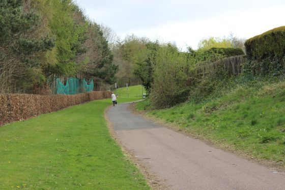
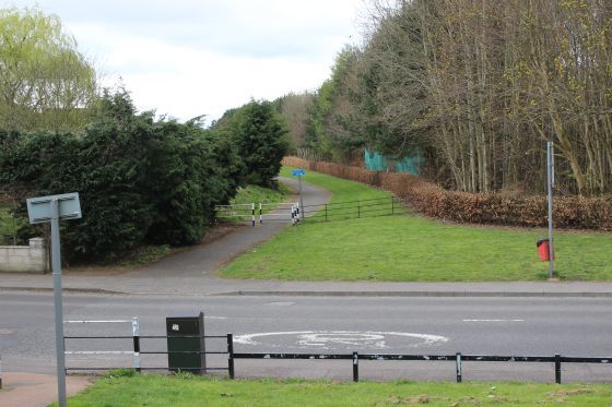
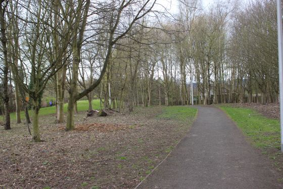
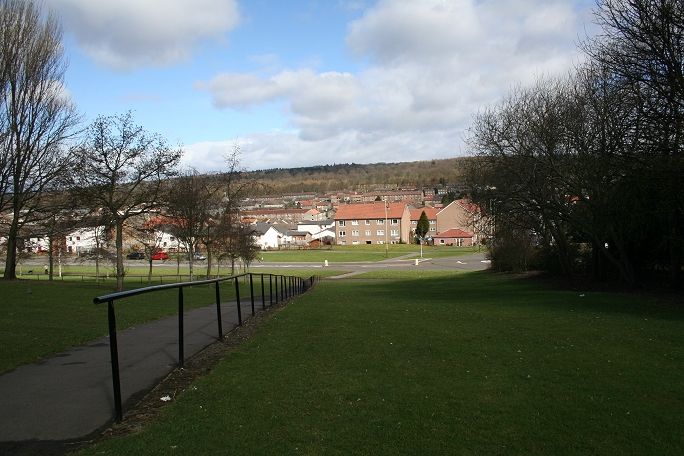
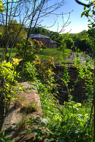
The site of Ninewells Junction was just up ahead and on the right side of the Perth mainline. The branch
climbed steadily alongside the mainline for almost a mile before curving northwards and on a long right
hand curve to then run eastwards to Lochee Station. The long steady climb made for an easier gradient to
reach the same height as the Incline railway reached to the north of Dundee.

Left: Ninewells Junction in the 60's. From the same bridge as above. (Ian Scrimgeour). Right: Fom the same spot over the Dundee-Perth line on Riverside Road, towards Perth. 14th April 2015.

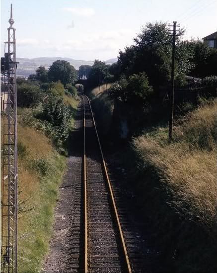
The over bridge seen from the rear of a brake van as a Fairmuir Goods train heads
for Dundee.


Left: View from the train crossing the Dundee-Perth road (Riverside Road). Right: Dropping down off the branch at Ninewells Junction.
New 14th April 2015 Photos.
Both: Where the branch crossed the Perth Road (Riverside Road), as seen above left. You would never know that there had been railway at this spot. Towards Perth.
Left: North side of the Ex bridge, the track bed rose continually towards Lochee. Right: From the south side. The track bed ends just up ahead, where the overbridge had stood.
The River Tay and the hills of Fife are sen in the background.
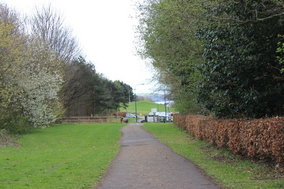
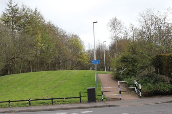
The track bed ends where the new road leads into Ninewells Hospital. You can see te drop where the branch ran down to Ninewells Junction, on the right.
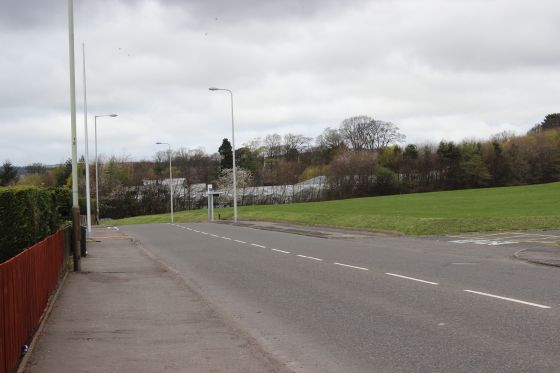
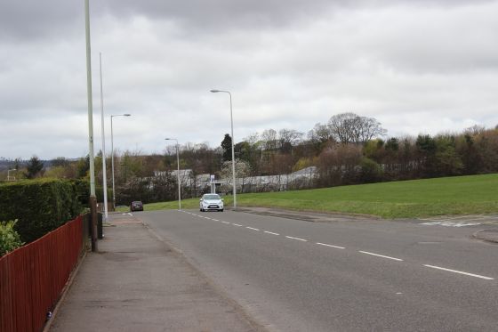
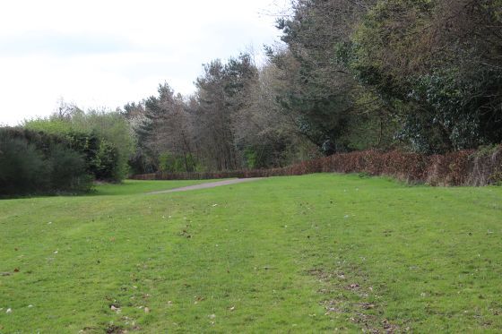
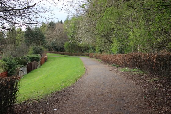
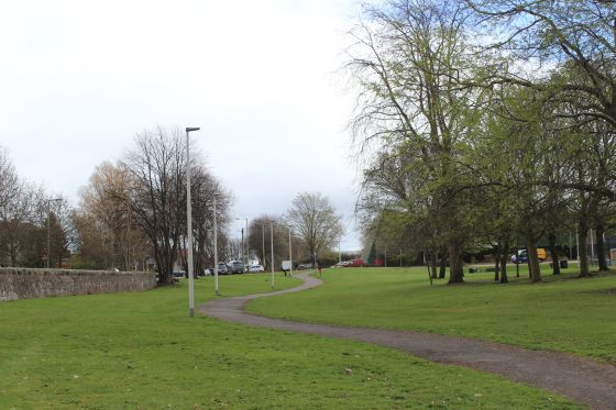
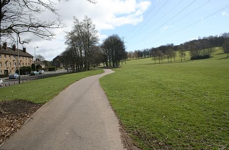
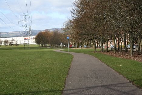
Left: The new Green Circular road on the left with the track bed where it rose towards Liff Station. Right: Reverse view. The road takes over the old track bed.
Left: South view. Right Northwards view.
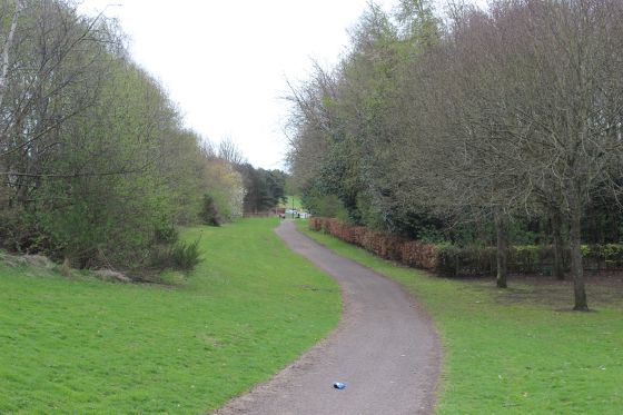
Left: Northward view. Right: Southward View.
Left: Southward view showing the gradiant down to Ninewells. Right: North view, towards Liff station site.
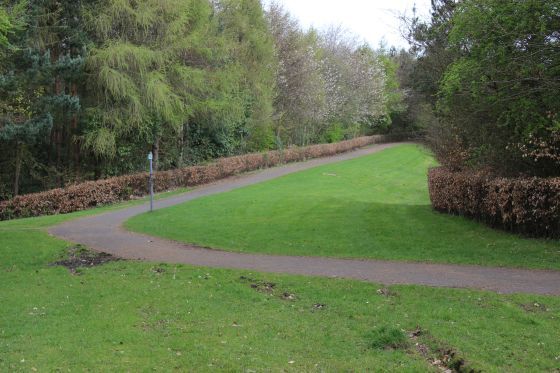
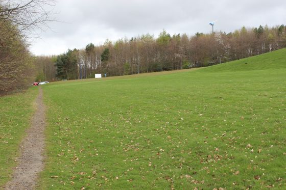
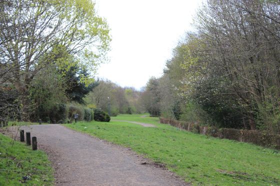
Left: The path from the right comes in from the main road. Right: Towards Liff station site.
Left: The track bed curving southwards towards Ninewells Jctn. Right: Northwards over whaih was an over bridge but now a level crossing at Mallaig Road.
North and South views at the Ex over bridge over Mallaig Road.
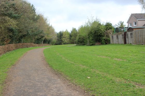
Left: Just to the south where the Goods Loop split and up to Liff Station. Right: Site of the main and goods loop south of Liff Station, seen just up ahead.
Left: South end where the double track ran through Liff station. Right: Reverse view, towards Ninewells.
South end of the station site, towards Ninewells.
==================================================================
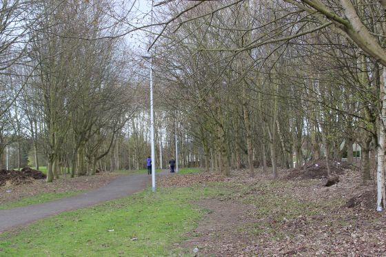
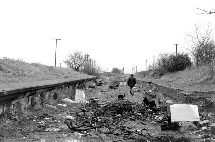
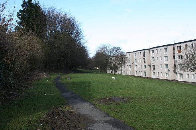
Site Of Liff station. The track bed is indicated by the cycle & walkway running east to west .


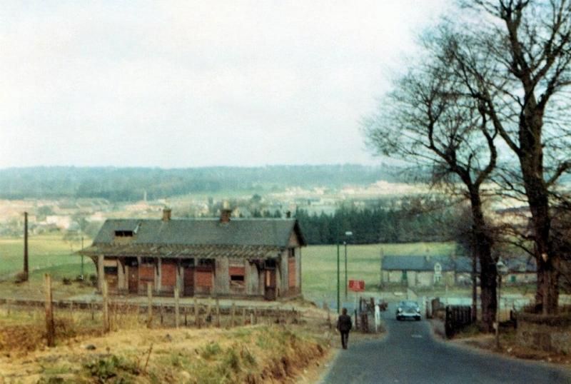
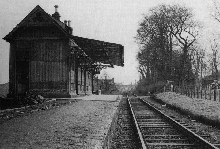
Left: The train standing at the Up platform at Liff. They are probably waiting clearance at Ninewells Junction and to receive the single line token
from the signalman. Right: Liff signal box and the rather neglected platform and down station building, The station had been closed for 10 years
at this time. (Screen grabs from video).
Liff Station, looking south and the track bed curving towards Ninewells. The house on the right is still there and may have been
a yard shunter's home. (Author Unknown).


Left: Liff Station from the brake van as the train leaves for Ninewells Junction. Right: Liff Station in the 50's. N.B. The station house in the background, on South Road.
(Niall Ferguson Collection).
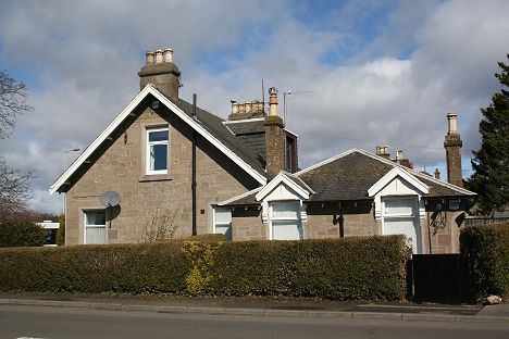
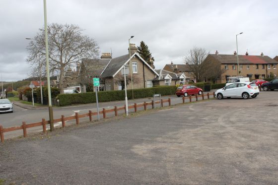
Left: Ex Liff Station House. Right: Close to the photo above right. The while car stands at the site of the Footbridge and on what was the Down Platform. The signalbox stood where the
green notice board stands. (14th April 2015).
Left: Liff Station Site. Towards Lochee. Right: Towards Ninewells. The down side goods loop was on the right and ran up to the curve up ahead by the trees.

Left: Lochee Linolium Works with the D&N track bed running towards Liff Station and the work's spur, hidden behind.
Right: The lane which the B&W photo was taken is still there, running down the hillside from Menzies Hill (Mingus Hill).
Left: A Tesco supermarket now stands on the site of the linolium works. The trackbed is the same spot as seen in the old B&W photo above left.
Right: From the same spot looking back towards Lochee.
Liff Station Site in the 70's. Left: From South Road. Approximately from the same spot as above left, with the linolium Works still standing.
Right: Reverse view from the same spot and as above right. The spur into the works was at this spot. (Author Unknown)

Closer view into the linolium works and where the spur ran into the works. (Author Unknown).
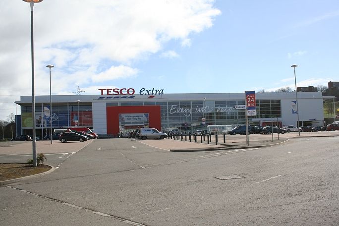
The scene as it is today with Tesco built on the site. Looking towards Lochee.
From the same author. 1970's. Towards Liff Station. The administrative building can
be seen in the b&w photo, three above, left.
Left: Towards the site of the linolium works. Right: At the junction with South Road and Arron Drive. You have to walk along South Road until Elmwood Road to get back
onto track bed level. Right: The road crossing at Arron Drive.
From the same spot looking towards the old linolium works and Liff station site. The path comes down from Menzies (Mingus)
Hill housing estate.
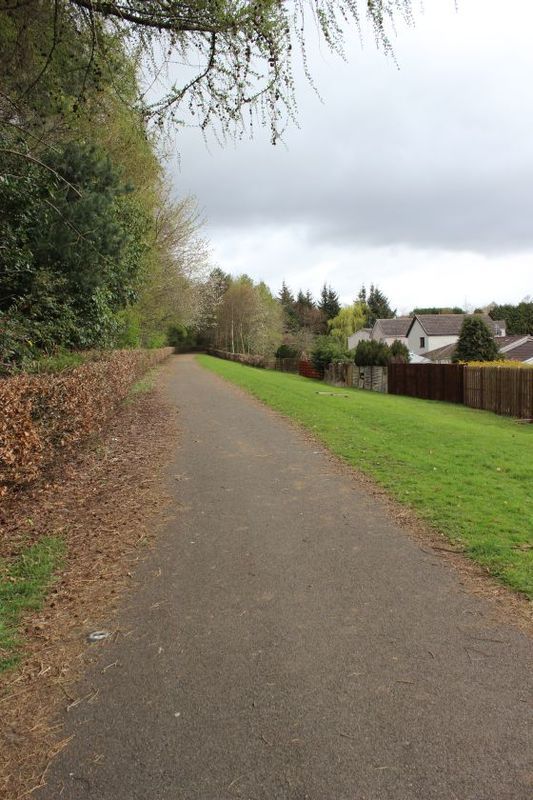
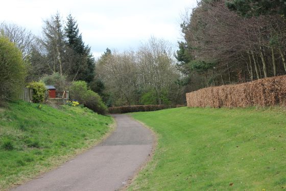
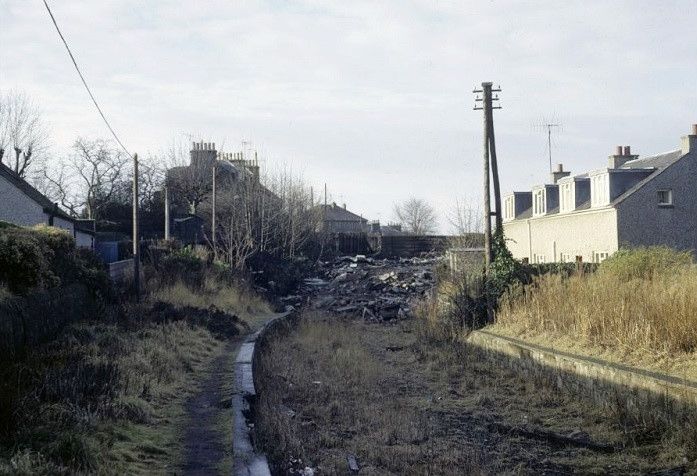
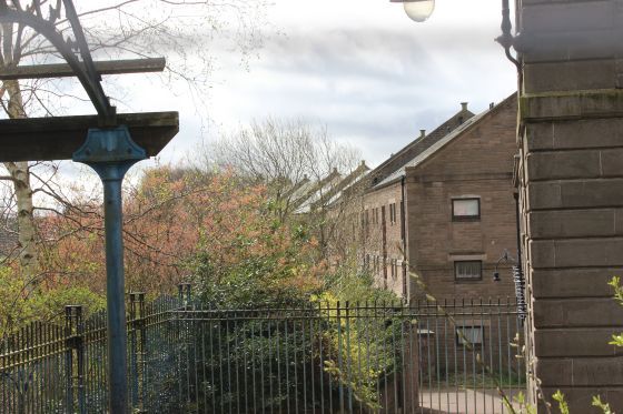
Beyond Lochee West station site the track bed is at a higher level from the road. Level with the the track bed
which came in from the right.
From Elmwood Road between Lochee stn and Lochee West stn sites. Looking towards Lochee. Cox's stack is seen to
the left of center.
Looking north along Donald Street. From the track bed.
Left: From the Lochee side of the over bridge.
The Liff side of the over bridge looking towards Lochee Station site.
From Sharp's Lane bridge towards Lochee. The embakment followed the line of
trees and has been smoothed off down to the lane that followed the line.

From Sharp's Lane over bridge. Towards Lochee West Station Site.

Right: From the bridge at Sharp's Lane towards Lochee.

Left: West of Lochee Sation towads Lochee West. Right: Towards Lochee.
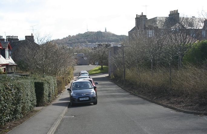
Left: The new building on Lochee station site up ahead from Old Muirton Road. The track bed squeezed along the back of the houses on the left.
Right: From the site of the Ex Gibbs Lane over bridge, the track bed heads towards Lochee West Station site.
Looking towards Lochee West station. This would be the back of the Up distant
for Liff station. Excellent picture quality. (Author Unknown).
Lochee West Station & Goods Siding Site. Now under housing estate at Overton Gardens. Site of Lochee West Station. The track bed from Lochee is seen
approx. 1/3rd up from the far right. The station was back off the main road with a short lead into the goods shed, which was on the north side of the station,
backing up to South Road.

Lochee West Station. A goods siding and shed is shown to the north side of the station. As there were no signals in relation to the
station the goods spur would have been opened and locked by the guard, using the key, which was part of the single line token.
Lochee West Station from Elmswood Road, looking northwards. With thanks to Bruce Mitchell for sharing this photo.
This is looking north by the evel crossing on Elmswood Road and across South Road.
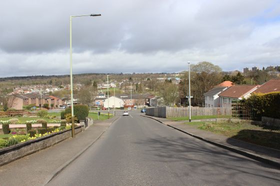
From close to the same spot as above on Elmwood Road. 14th April 2015.
Lochee West Station, towards Lochee. Towards Lochee station with the Down Distant signal in the distance.

Lochee West Station was closed in January 1914. The building still survived in the 60's, as seen below. A goods train stands on the goods line behind the station.
The goods shed may still be there but hidden by the station building. (Niall Ferguson Collection). Right: The Elmwood Crossing gate is closed for the train to
arrive at the station (Author Unknown).
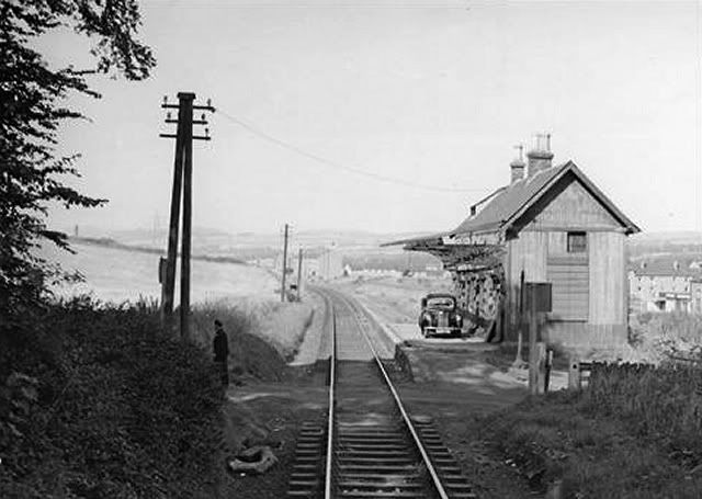
A train is obviously due as a member of staff has arrived by car to close the crossing gates (Author Unknown)
The lane is what is now Elmwood Road.
From virtually the same spot as above. 14th April 2015.


Left: Remains of Lochee West Station. Right: Seen from the brake van. The goods line is to the left of the station. It was linked by a short spur
off the main line, which can just be made out.
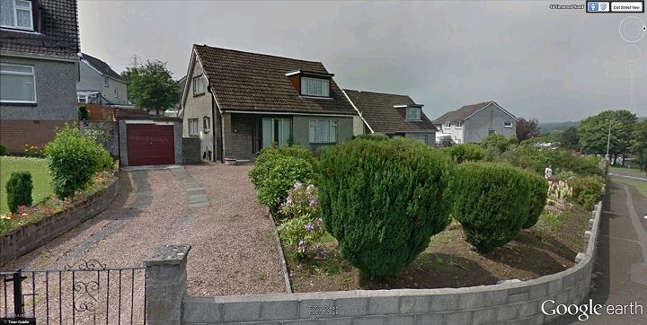
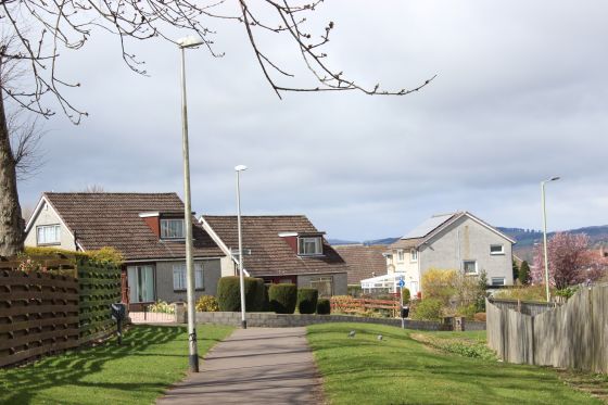
The station has disappeared under a new housing scheme. The house stands on the actual site of the station while the goods
siding was to the right on the lower ground more by the third house on the right. This Google Street View is taken on the
site of the level crossing at Elmwood Road aproximately to the station photo above left.

The down distant signal for Lochee station. Between Lochee West and Lochee. Probably the one
at Shap's Lane.

The line from Lochee Station. It shows the Goods Siding backing onto Loons Road and the Goods spur turning north into Cox's
Camperdown Linen Works. An interesting point in regard to the works goods spur is that it was on a high embankment,
with a viaduct running up to the works and it is difficult to visualise at what level the working area within in the works was at.
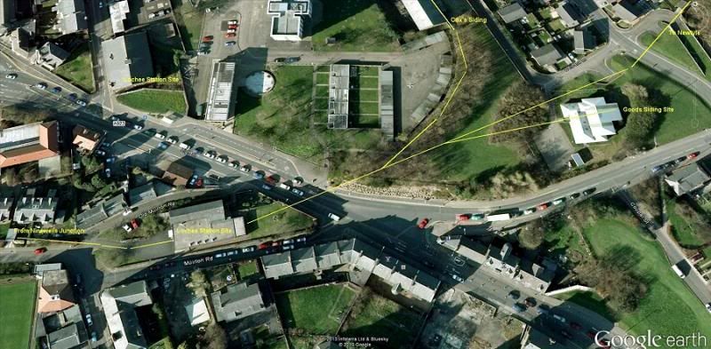
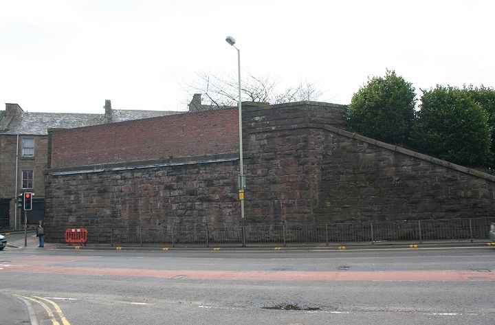
Site Of Lochee Station. Showing the gap of the demolished bridge on High Street. On the right the mainline to Newtyle went straight
ahead, while a short goods line went off northwards and into Cox's Works. On the south side of the two lines was the Goods sidings.
The down platform was on and right up to the north end of the bridge as was the points for Cox's siding. The bridge was very much
part of the station layout.


Left: From the south end of the station platforms towards Ninewells. The line went over Muirfirld Road and curved sharply to the right then under Gibbs Lane.
Right: As the scene looked when the railway was at this spot.


Left: Remains of the down platform. By Old Muirton Road. Roughly where the footbridge and signal box stood. Right: The track bed looking towards Nine Wells
unction. You pass the sites of both Lochee West and Liff stations. No remains.

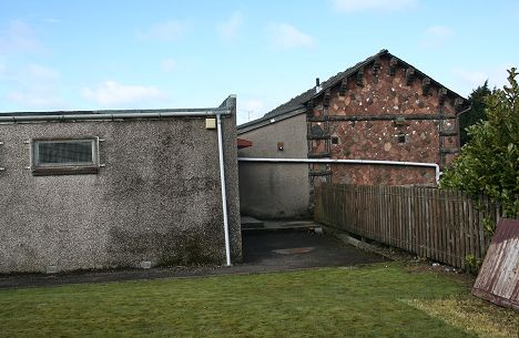
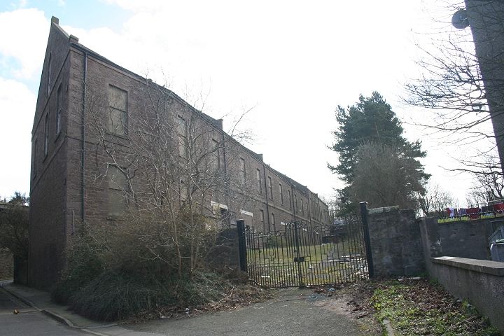
Lochee Station building. In use by The Robert Burns Club.
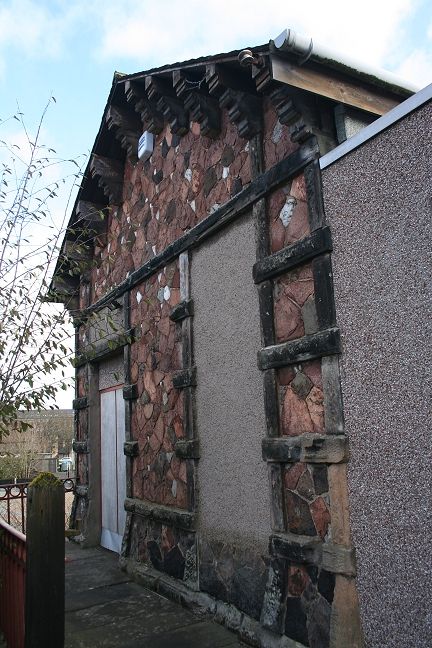
The south end of Lochee station building.

South end station steps onto Old Muirton Road.

Left; The walled-off end of the over bridge crossing the High Street. Looking northwards. Right: From the center of the station track bed. Looking towards Ninewells.
The edge of the Down Platform is seen by the wooden fence, with the station trackbed blocked by
an extension to the Station building for use by the Robert Burns Club. 14th April 2015.
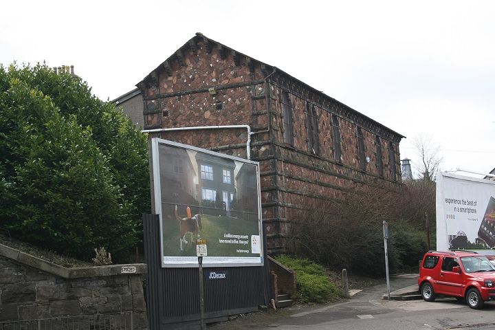
Ex Lochee station building from the High Street.

Site of demolished Lochee Station south parapet & bridge over the High Street. (April 2009).
South parapet of Lochee Station bridge.


Lochee Station site. From the north side of the removed High Street bridge.

Lochee Station in the 1890's (Niall Ferguson Collection).
Sixty five years or so later and an enthusiast special runs to Auchterhouse in the closing year of
the D&N (Sid Boag).

The High Street from the railway bridge, looking north. A much later scene than below.
The gas lamps are replaced by electric ones.


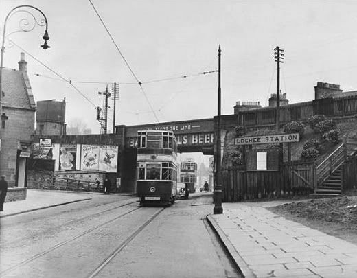
Lochee railway bridge seen from the trams on the High Street. Right: Note the water tank in the corner of Lochee Goods Siding. The station is to the far left.
(Norman Hurford).
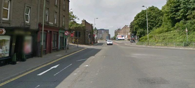
The view above as it is today. (From Google Street View).
Opposite side of the bridge with a fuller view of the line crossing Lochee Road
(Jim Ross or probably Norman Hurford).
LOCHEE STATION FROM CINE FILM


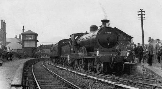
Left: Approaching Lochee station, with it's tall signal box and ornamated station building. This was the biggest station on the line.
Right: The points going off to the right is the spur into Cox's Works. The loco is a class 24.


Lochee Goods Shed and goods yard layout, from the brake van. Ran parralell with Loons Road, on the right.


Looking over the High Street road bridge, with the down starting signal post. Looking over the train wagons from the brake van with the signal box and
pillared canopy of the down platform building. The station had been closed around ten years and the line is only months from total closure.


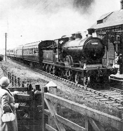
Left: The driver has the single line token ready for making the exchange. Right: Signalman & Driver exchange tokens on the move.
The Token from Muirfield will have been caught by the signalman and the Token for Liff Signal box received by the driver.


The 08 Shunting Loco & Brake van accelerate towards Ninewells Junction, going below Gibbs Lane overbridge.
1970's. Towards Liff, with Gibbs Lane over bridge still in place. The track bed had been filled-in at this time. From approximately
where the Footbridge stood and the tall signalbox would have been on the left. (Author Unknown).
Loco & Brake van heading for Liff station. Gibbs Lane overbidge has been
demolished and the road leveled to track bed level. The second bridge ahead
should be that went over Kirk Street, The bridge no longer exists and Kirk
Street is a dead-end at the housing estate that took it's place.


Right: Looking towards the station from the eastern side of the station bridge. The mainline was central, with the Goods Siding & Shed on the left.
The works spur turned off extreme right following the treeline. Right : The works spur where it is cut off from the viaduct prior to entering the works.


View from the north side of the removed High Street bridge.


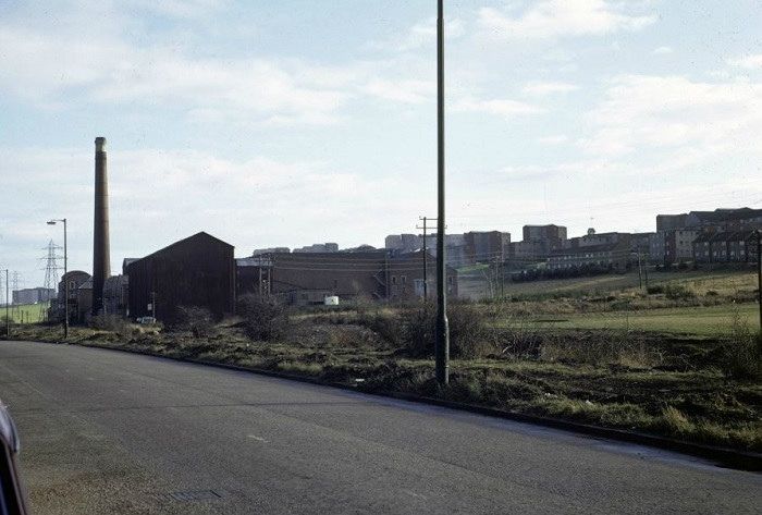
Left: Remains of track bed heading north towards Newtyle (Green mounds). Taken from the old Goods line track bed. Right: Cox's Stack and Ex work's
entrance at Lochee. The goods line ran into the works in front of the stack. The remaining works' buildings have been converted into flats (right).
The building on the left is a supermarket, while the central area is a large car park and local bus stop turning point. There were numerous shops
on the site but only two remain open at the moment.

The works spur came in from behind the clock tower running in front of the Stack and into a siding to
the left.
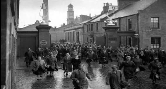
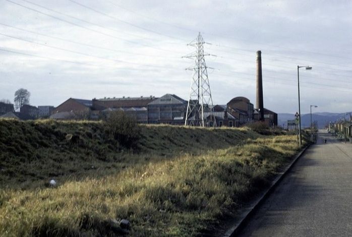
Dinner time at Cox's works in the 50's.
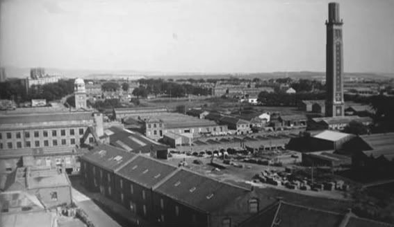
An over view of the works site, which was earmarked for a shopping centere. (Author Unknown).
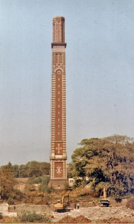
The site being cleared. The 'stack' remains as a reminder of what once was. This
is now the large car park and bus stop. The shopping center was not a success
and is virtually empty today. (Author Unknown).
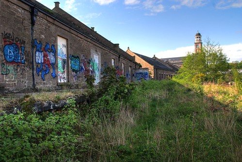
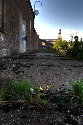
With the work's clock tower on the right, looking along the track bed towards Lochee station with the
work's Goods and Workers passenger patforms which are hidden by the trees and bushes.
There was peak hour worker's trains too and from Dundee. (14th April 2015).
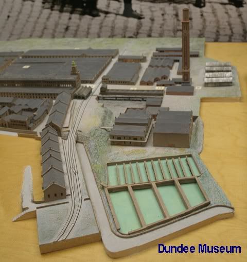
Showing the track layout at Cox's Linen Works, Lochee, Dundee. There were two
platforms. One for workers and the other for goods as can be seen on this model
and in photos below.
================================================
OCTOBER 2016 Update
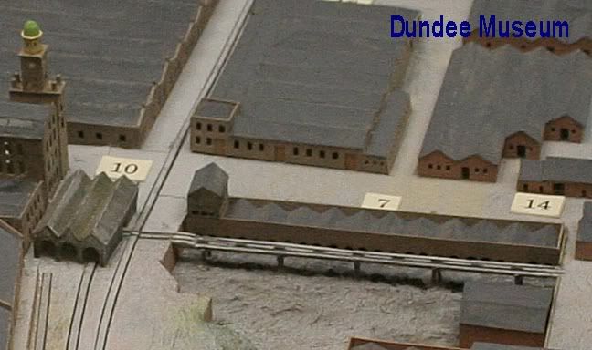
It would be interesting to learn what the track exiting the side of the shed on the left was for! It appears to end as a loading or dumping stump, or continues over the raised piers, which
may have been for possible hopper dropping. I would appreciate hearing from anyone who knows.
My thanks to John G. Duffus for sending in these comments from when he was employed at Coxs works.
You asked (if I remember correctly) why the railway veered off to the right in one of the pictures. I remember rails being down but going to the right, I never saw that line.
We used to play on the railway from Loons Road right down to Elmwood Road (station brae) when the trains were still running. There was even a field with cattle.
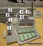
On the (your) numbered picture attached.
1. Were warehouses.
2. Where the clock tower is, that was the mill itself, can't remember if it got called high and low mill. The clock workings were amazing. There was pennies and halfpennies used as
balance to ensure the clock was running correct. It had a huge pendulum that went through the floor. This was quite spooky if you were in the tower by yourself with the noise of the
tick, tock, and also when the bells chimed.
3. Was the factory, this was called high and low factory as it was on 2 levels. The building is on a brae. There were stairs and also a lift to take you to either high or low.
4. This was the machine shop with lathes etc, for maintaining the machines in the factory and mill. It also serviced other jute works when Sidlaw Industries acquired them. I worked
in the blacksmith shop which was in the same building but ran along the railway line that separates 3 and 4. There was a big bumper and the end of that street to stop the train from
going off the line.
5. When I was there, these buildings were not used. As an apprentice I would explore the grounds and the building that is behind the machine shop 4, must have been a pattern
making shop in days gone by. It was full of templates of every part of the machines that could be moulded.
6. Where your railway query line runs. I can only assume this was to service the boilers. You can see on other photos better than this one that there are a number of arches just
behind the railway line. These arches held boilers that supplied the steam to work all the machinery before we had that thing called electricity. The ground that is empty just in front
of the stack is where the new boilerhouse was situated. It had 2 boilers that supplied heating, and steam for the few machines that still ran with the use of it.
Just looked at 0091 InterestingTrack In CoxsWorks. Number 10 was gone by the time I was at Cox's, instead this was the garage where the
motor mechanics worked.There were a few tunnels in the grounds that supplied the steam to where it was meant to go. Also overhead lines.
The green area bottom right, is ponds. I know you know. There were other ponds. One was at the bottom of Camperdown Street. It was drained when I was a lad but we used to
go and catch mice there, we didn't have mod cons like today.
At the Loons Road coal depot there was fridges that belonged to Lyons Maid. There was a gap in this building just big enough for us to squeeze in and out of. We were not greedy
and only stole what we would eat. The railway provided hours of entertainment unimaginable to todays kids.
===============================================


Left: Remains of bridge and the track bed running from Lochee station towards Newtyle, over Wellbank Lane. Right: Cox's Stack is seen to the left.

Left: Closer view as the track bed went northwards from Lochee station. (Bill Reid). Right: Reverese view from the track side of the
fenced off bridge over Wellbank Lane, with the line of sight to Lochee Station. (David Martin).

Right: The Goods spur over bridge on Wellbank Lane, where it entered
Cox's work site.

View from Wellbank Lane, leading into Burnside Street.

A wide angle view from Wellbank Lane. The spur viaduct has been cut off prior to the line running into
the works. The works building are now very nice flats.
Left: The old goods platform, which was on the north side of Wellbank Lane Bridge and just before the line went into Cox's siding proper. There were three
tracks at this point. Right: Looking along the old platforms towards the works siding. (Both by David Martin).
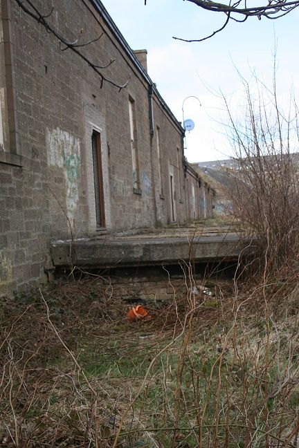
Platform at Cox's works. There were two platforms of which one was their own
passenger platform but I am not sure which was which.
The works building from Wellbank Lane. These are the buildings with the platform as seen above. The branch over bridge into the
works is seen to the left.
=============================================================
THE MILEY (Lochee To Muirfield Junction)


Start of the footpath from Loons Road to Clepington Road. On the left is the abandoned Kings Cross Road, while on the right the D&N track bed ran over the High Street into Lochee Station.
Coxs' Stack and the site of the Linen Works. The works' branch came in in front of the Clock tower. Behind the fence was the site of the cooling tanks.


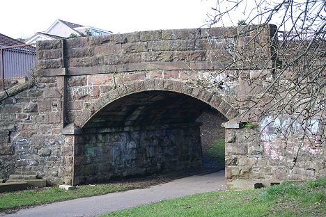
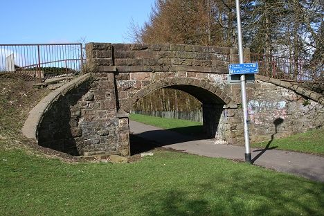
The Ex Kings Cross Road bridge. Left: Looking south. Right: Looking north.


Both views from the over bridge on Harefield Road. On the right is where the bus depot stood. Left: The line coming up from Lochee Station, with the works site
on the right. Right: On the northern side of the road bridge the line runs in a cutting up to Clepington Road. This section is a foot path.


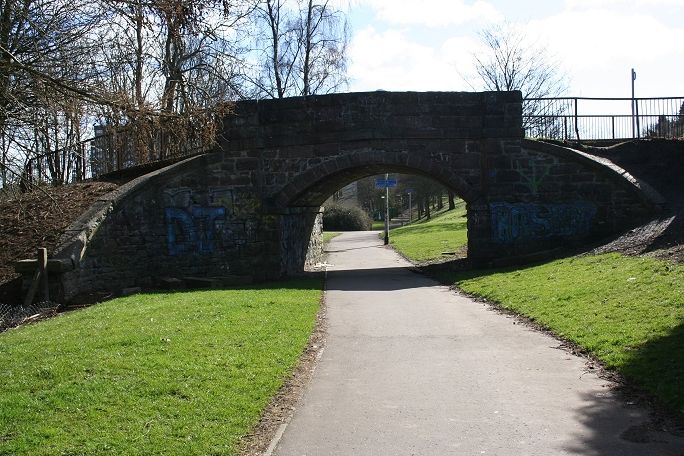
The Harefield Road bridge from the north side, with the steps down from the road onto the track bed.


Left: Strathmore Road/Harefield Road bridge from the brake van. (Cinerail) Right: April 2010.


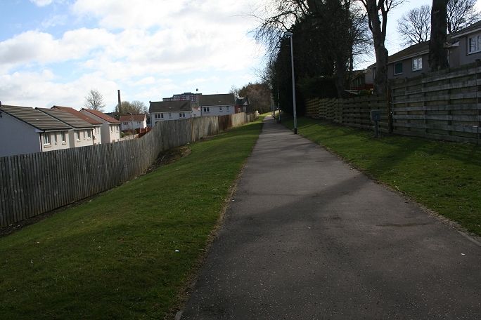
Left: Today this is a footpath from Lochee to Clepington Road. On the northern side of Harefield Road there is a gate on the right with a footpath to track bed
level. You can make out the original bridge and the new top that that was added to strengthen the bridge. The bridge has been widened and strengthened
for modern day traffic. (Bill Reid). Right: The strengthened tunnel seen from the south end of the bridge. (David Martin).

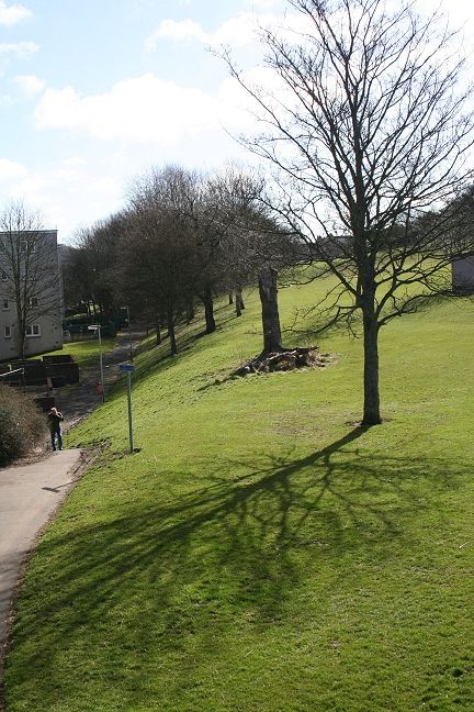
Looking south towards Lochee from Clepington Road. The junction
for Kingsway sidings was just behind the trees on the right.


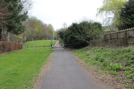
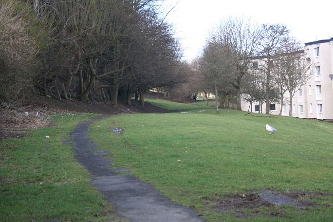
Site of the branch into the Kingsway West Sidings (Ministry of Works).


Clepington Road Bridge. End of the footpath from Harefield Road. On this side of the bridge the track bed has been
partly in-filled and a gentle graded path allows you to gain access to the footpath. However, the view through the
bridge is now impossible as it has been filled in Fairmuir Junction area on the northern side of the railway is under
an industrial estate. The back-facing signal on the right is the Muirfield junction Up Starting signal protecting the
single line too and from Lochee station.


Left: The site where the new line crossed below Clepington Road. Right: From virtually the same spot. The telegraph pole on the left still
stands today. The signal post is seen in the photo above center. An 08 Shunting loco is approaching Fairmuir Junction. This is part of
the present day footpath. Interesting that the sheds on the right have been replaced with modern ones of similar design. (Cinerail).

Clepington Road End. Reminder of the D&N at the Miley. (David Martin).


Left: The way is blocked by the Industrial Estate on the north side of Clepington Road. Had the railway still been here you would have been looking down on
Fairmuir Junction. Right: The signal box stood in the 'v' of the mainline and the Maryfield branch.

Fairmuir Junction around 1960. From Clepington Road looking north. Newtyle to the left and Fairmuir & Maryfield
Goods yards to the right. The incline railway ran left to right behind Brown & Tawse Ltd. Timber Merchants.
(D. C. Thompson).

The incline track bed at Fairmuir as it ran south towards Crossroads Station. It was used as the driveway into Brown & Tawse
Ltd. The overhead Crane spanned over both old & new track beds. Taken from the track bed of the new line on the south side
of the Ex Kingsway over bridge. (Elliot Simpson).
FAIRMUIR JUNCTION TO MARYFIELD GOODS Back to D&N Index
Links & Reading:
The Dundee & Newtyle Railway by Niall Ferguson. Still available from some books shops and on the Internet.
The Dundee & Newtyle (A history by Elliot Simpson)
http://www.auchterhouse.com/history/railway.htm (Includes and excellent map of the railway)
http://www.geograph.org.uk/search.php?i=7762615 Excellent 'remains' photos including the Law Tunnel, Balbeuchley Incline and Dronley
http://www.hows.org.uk/personal/rail/incline/dund.htm Explains the inclines but sketches are very poor quality and almost useless.
Video Screen grabs from the The Railways Of Scotland Volume 8 "Dundee". An excellent video available on DVD, from Cinerail at: http://www.cinerail.com/cinerail/railways-of-scotland.html
There are many great archive scenes of almost every Scottish route you can think of. Well worth a look.
The Cromford & High Peak Incline railway in Derbyshire has been luckier in having much of it's buildings, including an Engine House preserved. This is what could have happened, indeed,
should have happened with at least one of the D&N inclines. However, the C&H gives an excellent comparison of what the D&N would have looked like.
http://www.hows.org.uk/personal/rail/incline/hop.htm
Boddam To Ellon Branch (Walks) By Bill Reid.
Hosted by www.theatreorgans.com
BACK TO HOME PAGE