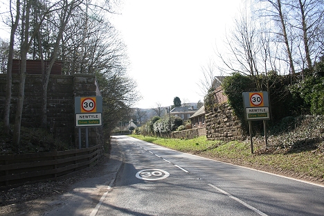
From Millhole the new line turned off to the northwest and around the north side
of the main road then eastwards to the new station At Newtyle.
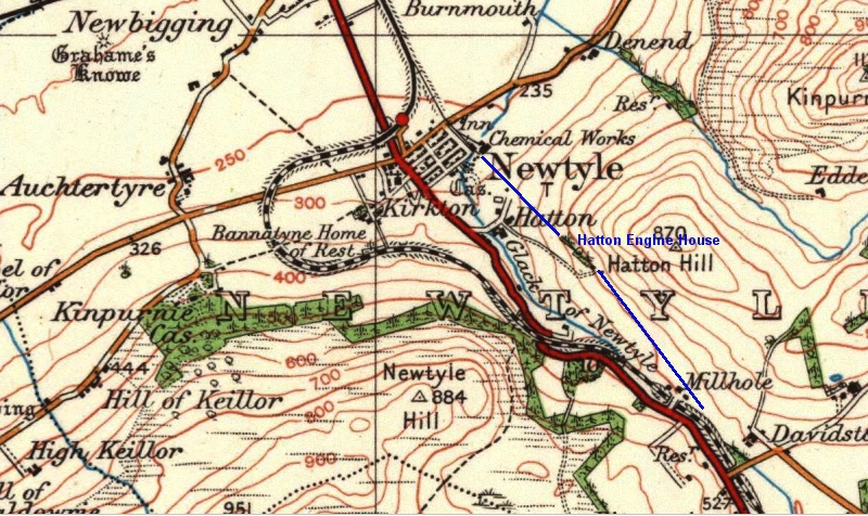
The incline railway is shown in blue.
AUCHTERHOUSE TO NEWTYLE (New Line)
(Updated April 2014)
From Millhole the new line turned off to the northwest and around the north side
of the main road then eastwards to the new station At Newtyle.
The incline railway is shown in blue.
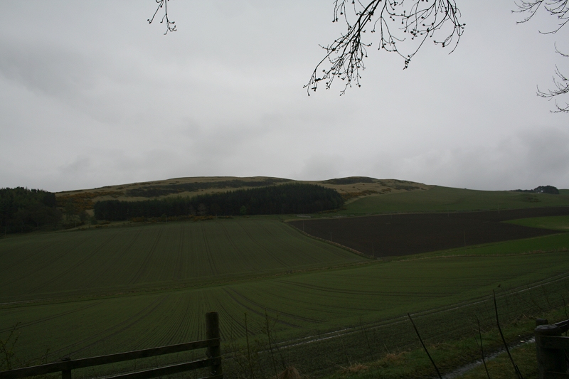
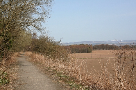
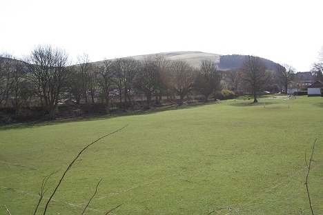
Left: Looking northwards towards the site of Pitnappie Siding and the present Gun Club and Tank Driving grounds. Right: Reverse view looking back towards
the old stations site. This where the Shooting Club and Tank Tank Maneuvers take over the track bed northwards. This was the site of Boniton Siding which
was on the right.
From here the track bed is used by a Shooting Club as well as Army Tank Maneuvers and is closed to the public. I had to take a very rough and
grassy track southwards around the site. By coincidence this is when the skies decided to open up and I got pretty wet over the 15 minutes
or so's walk, which took me back to the B549 by the single arch bridge over the track bed just before Millhole.
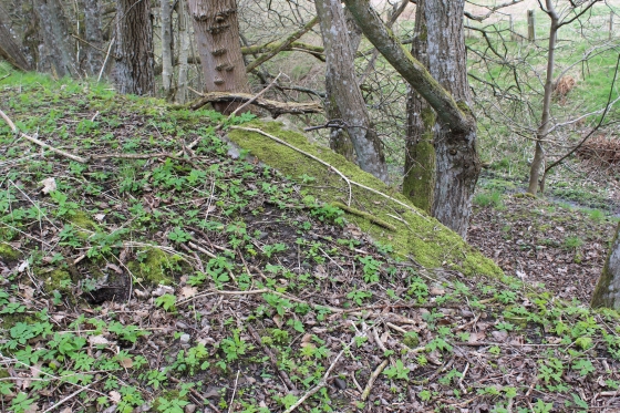
Just north of Auchterhouse Station. The original track bed continues to Millhole, where the old and new lines diverge once more. The Hatton incline being abandoned.
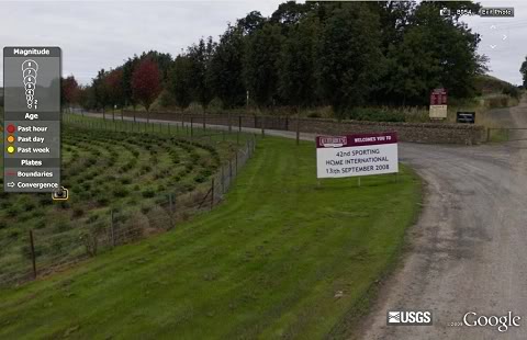
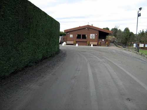
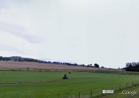
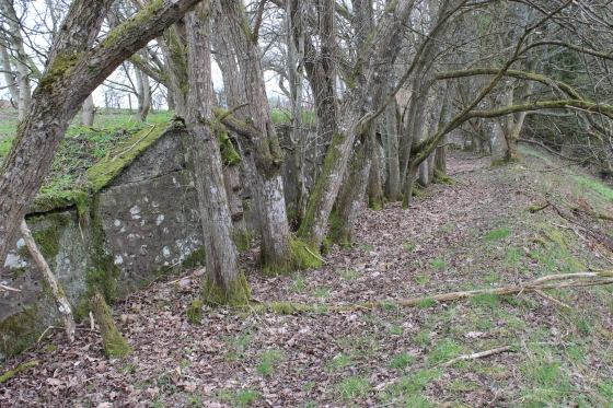
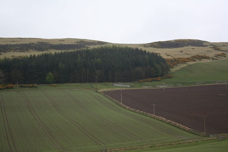
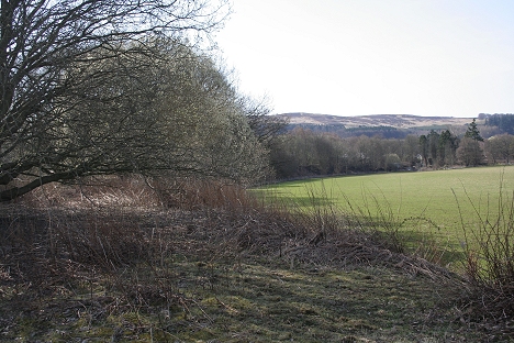
Left: The Country Sports Center has taken over the track bed as it's approach road. His is the site of Bonnyton Siding, which was a trailing point just up ahead and ran back into the
area behind the fence on the left. Right: The country sports and tank driving center sits on the old railway line. (David Martin).
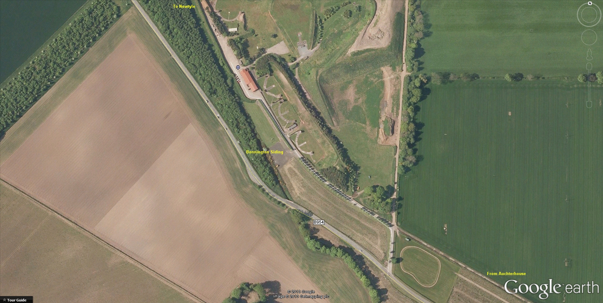
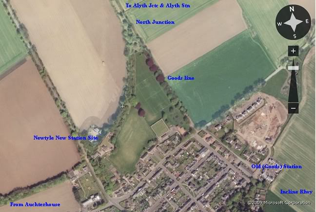
Bonnington Sidings. From Google Eart View.
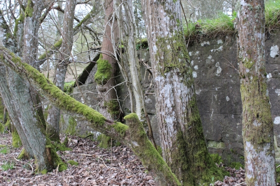
Bonnyton Goods Siding Entrance and site. (Sept. 2013). The main trackbed runs left to right behind to Newtyle.
along the embankment at the frames where the Gun Club members do their shooting.
Ditto. The tanks carry out their maneuvres on the land to the right of the hillock on Pitnappie Moor, behind.

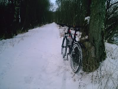
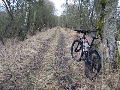
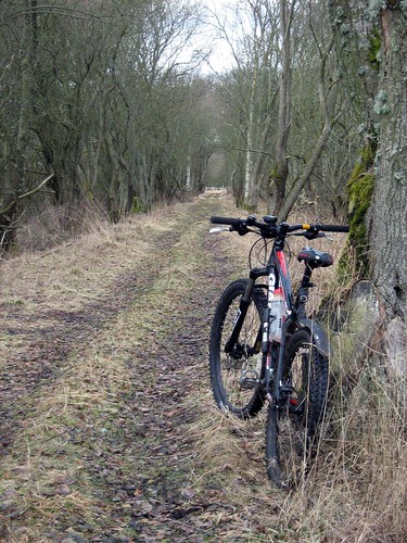
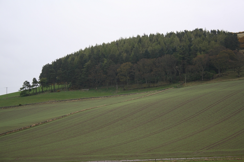
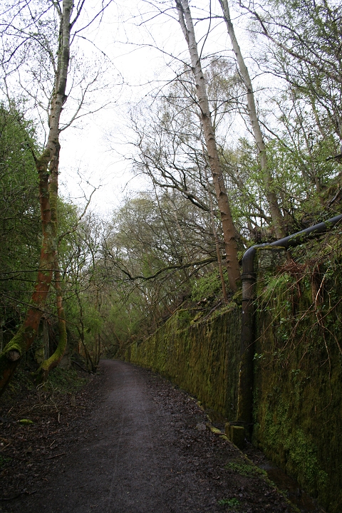
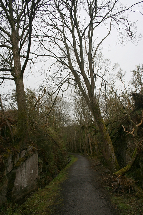
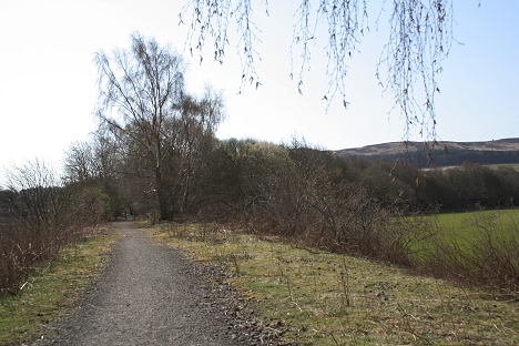
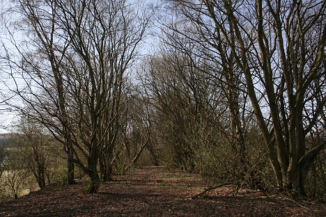
Left: A neat hut by the road side used a bus shelter. Right: the track bed starts to become a cutting and gets deeper up to Millhole farm.
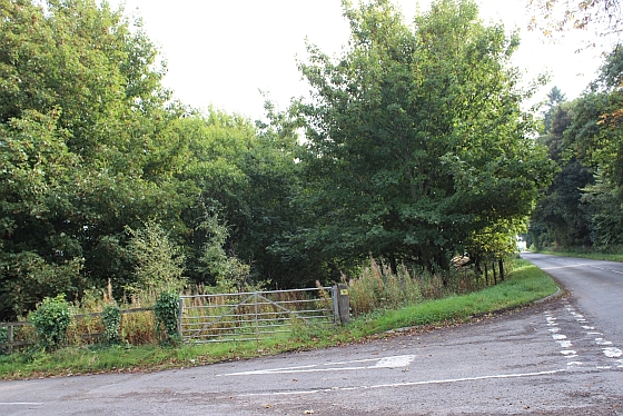
This was the site of Pitnappie Goods siding.
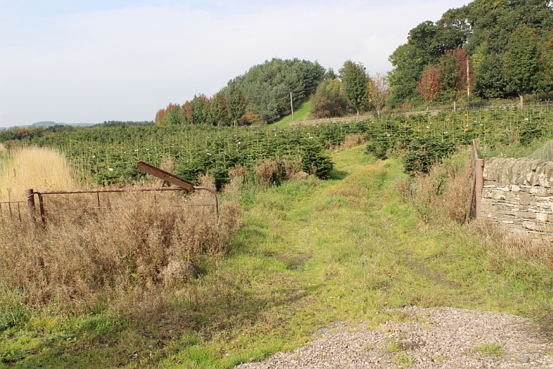
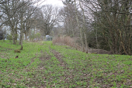
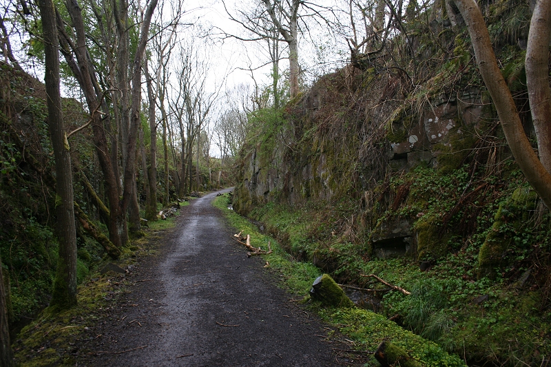
Left: beyond the Sports Center the track bed is in a deep cutting, running left to right below this over bridge. The gate on the right is the Ex road entrance to Pitnappie Siding.
Right: The single span stone over bridge north of Auchterhouse, where my very wet walk ended.
Thankfully the rain had stopped by then, although it remained bleak and soggy.
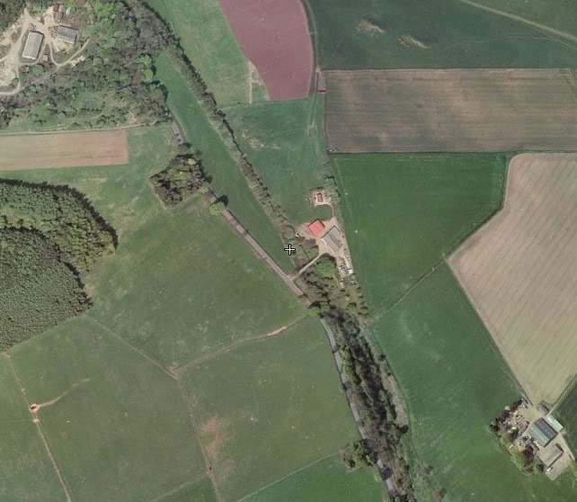
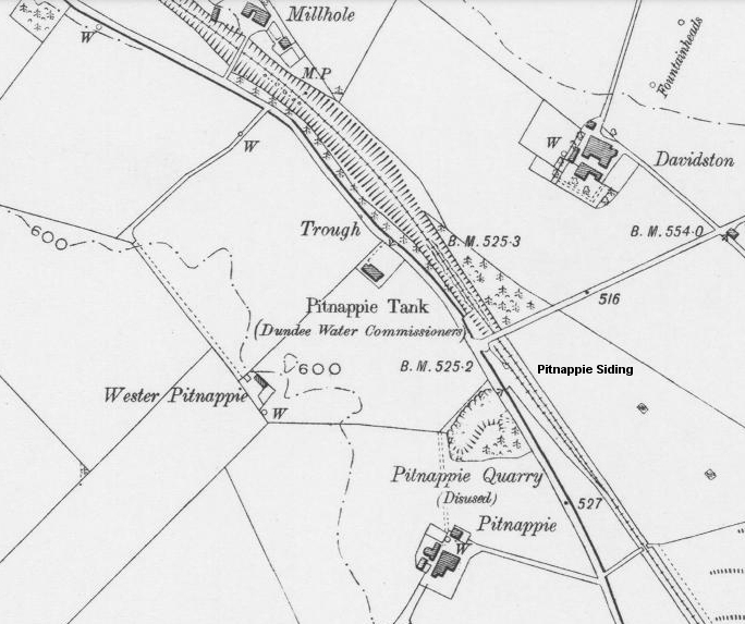
Screen grab from Google Earth of the Millhole area, showing the old and new track beds. Included is the Ex level crossing and the site of Pitnappie siding where the
two lines separated. The green patch on the north sideof the road from the loading platform is the site of Pitnappie Quarry that used the platform for
transporting sand stone.

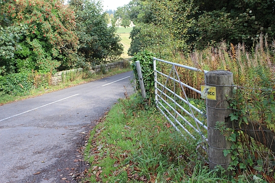
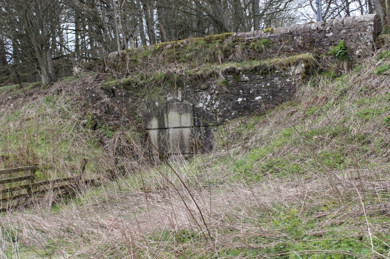
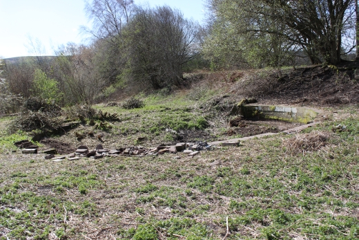
Site of Pitpointie siding. You can make out the shape of the goods platform. The entrance to the siding was from a gate (Still There) at the road junction.
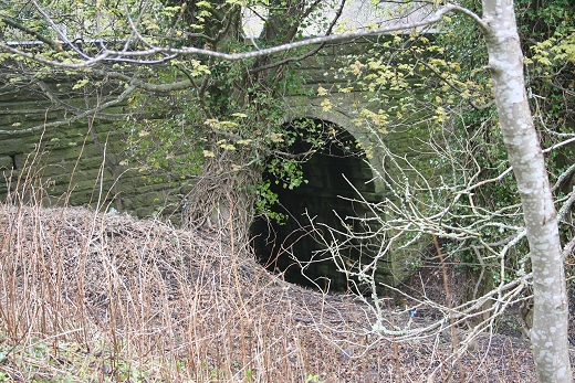
The quarry was in the tree covered area on the south side of the B549 and linked to the railway by a tunnel under the road to the loading platform.
The tunnel is still there but filled in.
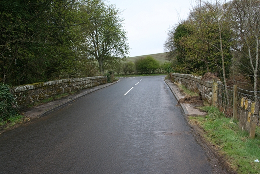
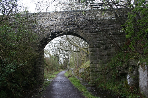
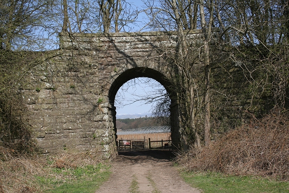
The gate leading into the Pitnappie Goods Platform site. By the single-arched bridge. (Sept. 2013).
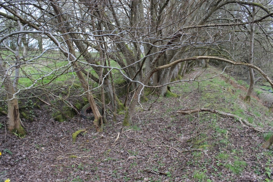
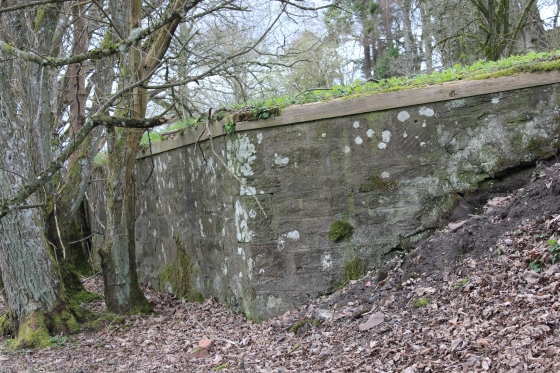
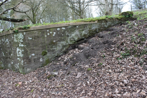
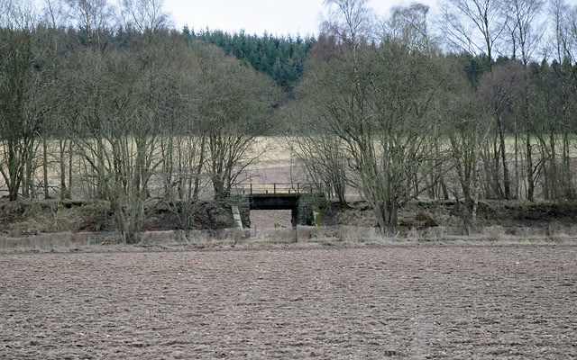
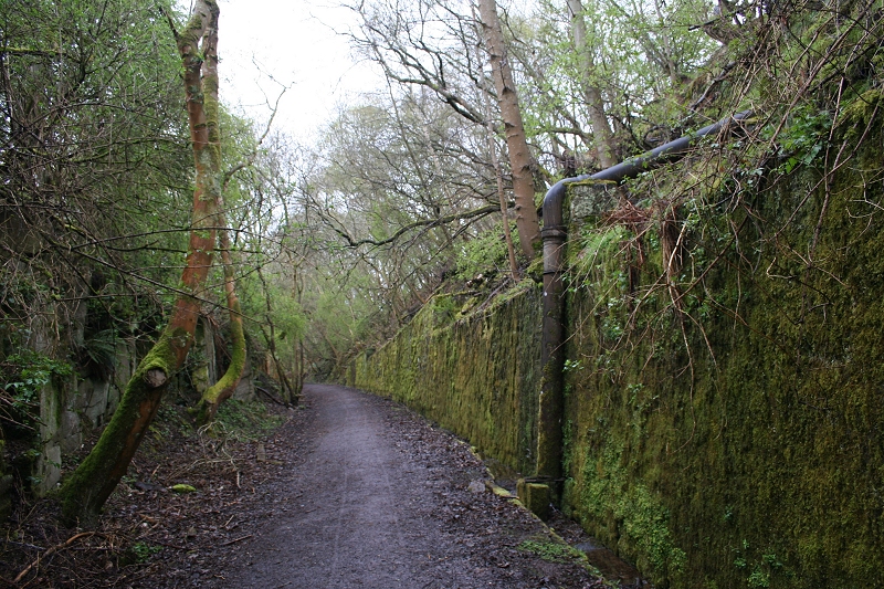
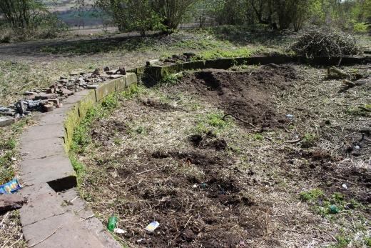
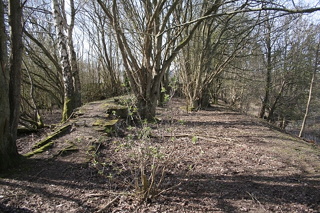
PITPOINTIE GOODS PLATFORM (April 2014)
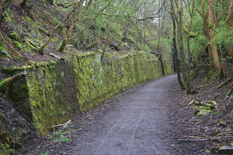
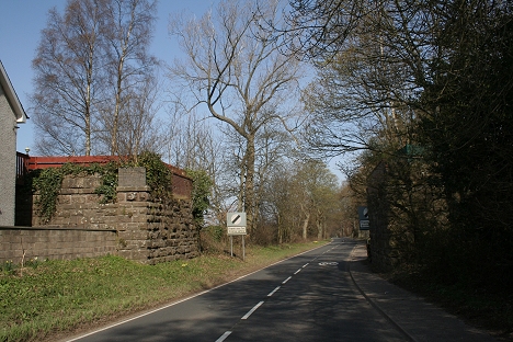
Pitpointie Goods Platform is situated between Auchterhouse (Boniton Goods Siding) and the single-arched bridge where the Boniton road joins the A549. The goods platform served a quarry near Pitpointie Farm
on the north side of the A549 and was linked by a tunnel below the road onto the loading platform.
This is close to the point where the old incline track bed was cut off from the new trackbed that dropped into the deep Pitpointie cutting and through the Gluck of Newtyle. The platform is quite deep and suggests
that the spur off the mainline climbed bove the mainline so that the track would be level enough for the wagons to be loaded and unloaded at platform level. There are remains of a stairwat down the north end of
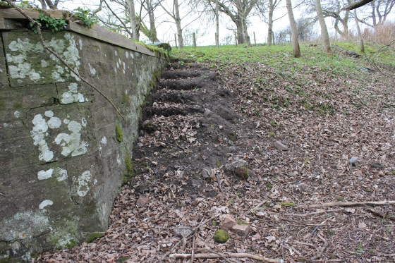
the platform to goods track level. All the stepping stones have been removed.
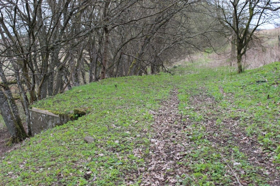
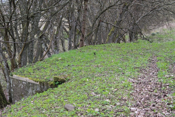
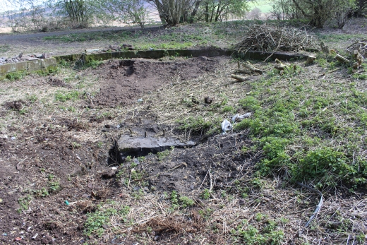
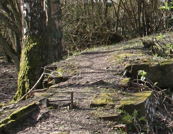
The north end of the platform where the steps went down the side to track level.
Left: On the platform surface, lokking towards the gated entrance. Right: Looking north along the platform trackbed, with the mainline trackbed below, right. The trees grow along the edge of the platform.
Looking northwards by the south end of the loading platform. Right: The platform edge.
On the siding trackbed, south end of the loading platform. You can see how the siding track had been higher than the mainline, which is below to the left.
Left: The north end of the platform with the remains of the side steps. Right: The maintrackbed below the siding as it went through the single-arched bridge.
Left: The, very wet, main trackbed from the loading platform trackbed. Right. Remains of the steps that went up the north side of the platform.
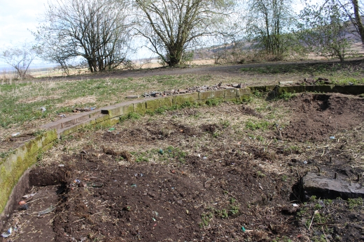
Left: South end of the loading platform. Right: Filled-in bridge under the B549. Pitnappie Quarry was on the north side of the road and sandstone was taken to the loading platform.
Whether this was by a narrow guage railway that was powered by a small steam loco, Horses or by manpower I do not know. It would be interesting to find out more about this working.
There is a good report on the working of the railway at: http://www.auchterhouse.com/history/railway.htm
==================================
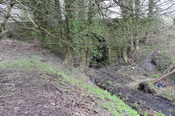
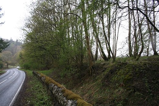
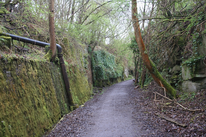
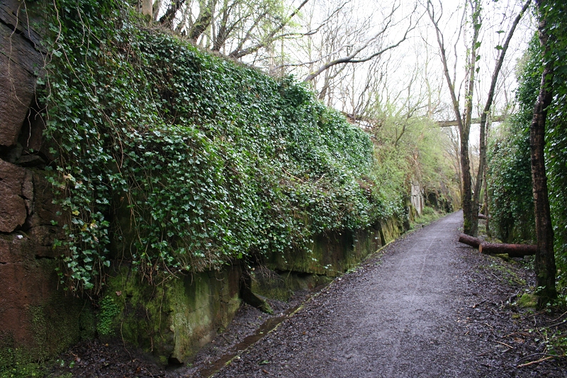
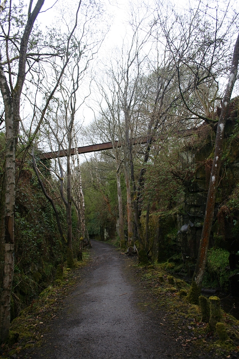
Left: The arch of the single span bridge of the Bonnyton Road. Right: On the north side, the railway ran in a deep cutting. The incline railway ran along the top of the north side of this cutting.
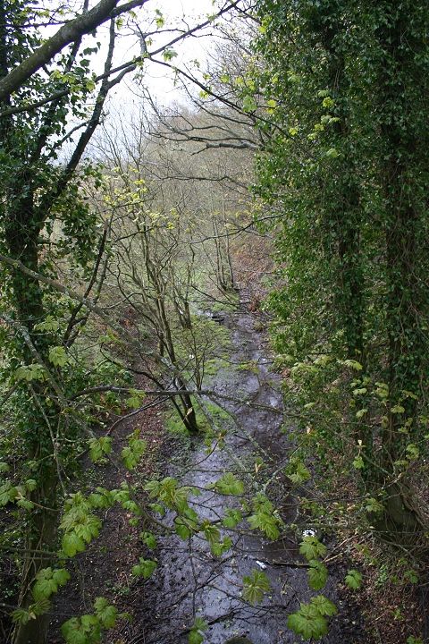
Left: Looking over the bridge southwards: Right: Looking northwards.
April 2013. The two same views as above but showing the difference the new drainage is making.

A fence wire-tensioning post by the main road with the cutting behind.
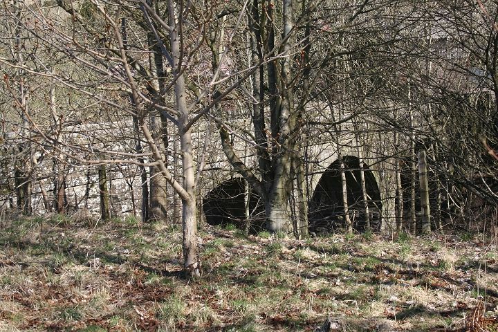
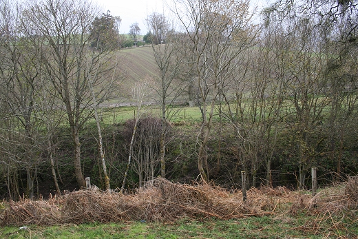
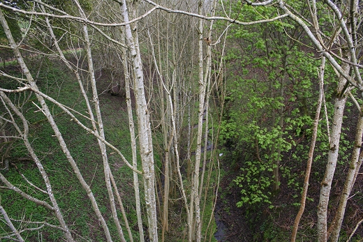
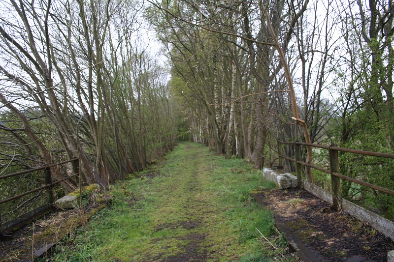
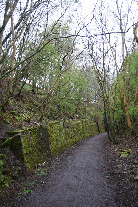
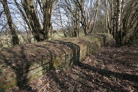
The three-arch bridge at Millhole, at the deepest part of the cutting.

The three-arch bridge is the link from the main road too and from Millhole Farm. This is private land and if searching the incline track bed
you should ask permission as you have to climb over a fence to get onto the track bed at the north end of the farm. The track bed ran
outside and behind the farm land and is fenced off.

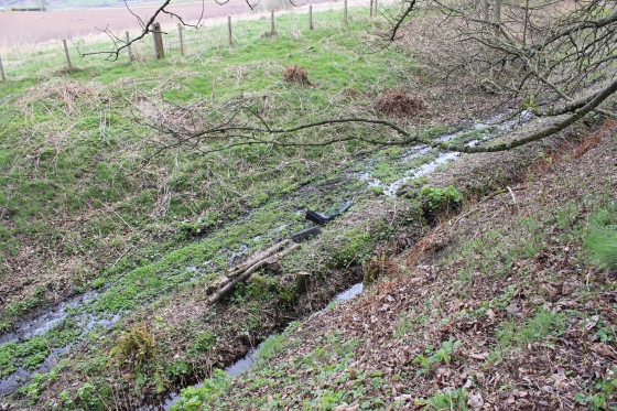
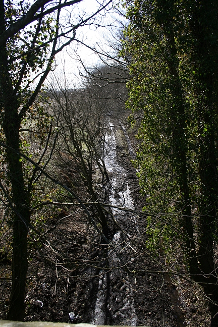
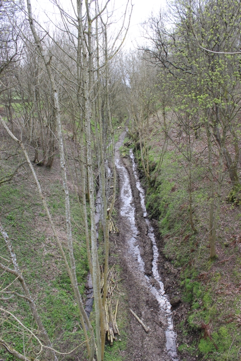
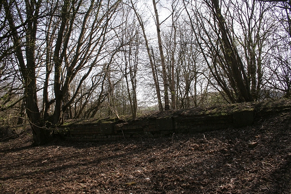
Left: Looking south from the three-arch bridge. Right: looking south. The ground is still very wet but you can
see that the track bed has been cleared ad the new drainage ditch is doing it's job. The length through the cutting should dry out nicely over the Summer.
Again! The same two spots taken the year before and demonstrating the situation prior to the new drainage work.
.jpg)
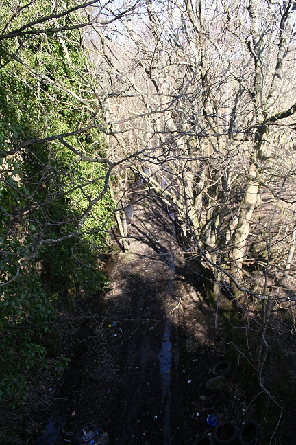
Again, from the same spot on the 17th April 2014 you can see the clearing work and that the rainage is working. However, in spite of not having and rain for four
days the trackbed was still too wet and muddy for comfortable walking. Left: Towards Auhterhouse. Right: Towards Newtyle.
Latest update. A short length of track has been laid below the three arch over bridge. (Photo: A. Martin).
THE DEEP CUTTING TO THE SOUTH OF MILLHOLE
By David Martin (February 2010)
Click here MILLHOLE CUTTING (With a link back to this page)
Left: Near Millhole, looking towards Auchterhouse. Right: Near Millhole, looking towards Newtyle. (David Martin)
David took these two photographs from the same spot as above, in Feb. 2010
May 2013. An interesting collection of photos of the clearing and laying of drain pipes along the Pitnappie Cutting. By David Martin.
Pitnappie Cutting Clearance & Drainage
============================================================
The line continues northwards past Millhole farm, where the old and new lines separated then onto Newtyle. April 19th. 2012 photos.
The stone retaining wall of the incline railway. Taken from the main road at Millhole. Hatton Top to the left.
Left: The track bed as it reaches the point where it crossed the B549 at an angle. Right: The track bed coming in from the right and crossed the road.

Left: The southern stub end where the bridge stood. Right: The stub end on the north side. Towards Newtyle
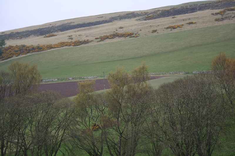
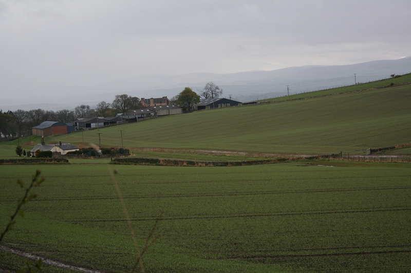
View From Hatton Incline summit, showing the embankment cut off of the new line where it crossed the B549,
taking the long curve to the north of Newtyle before running down to the new station. April 2010.
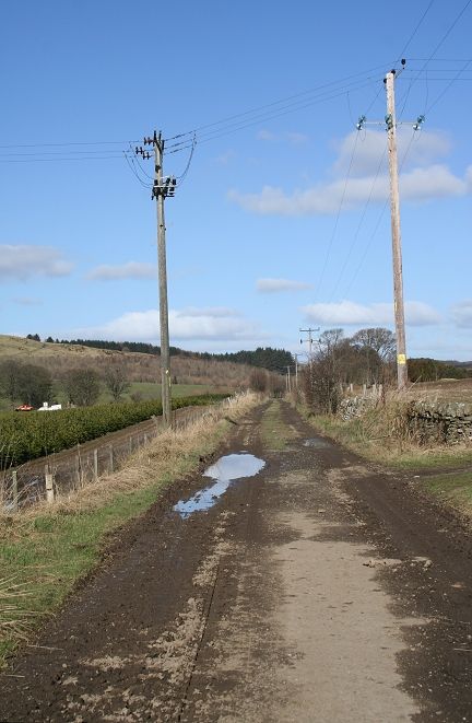
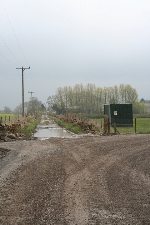
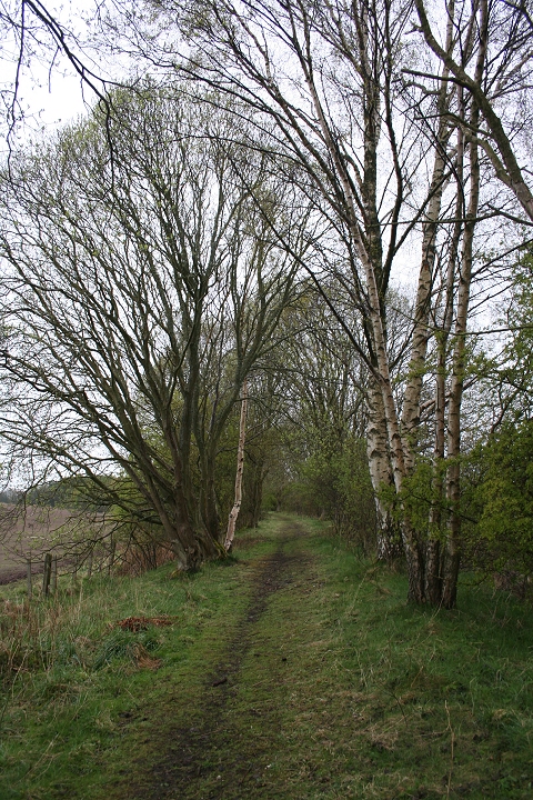
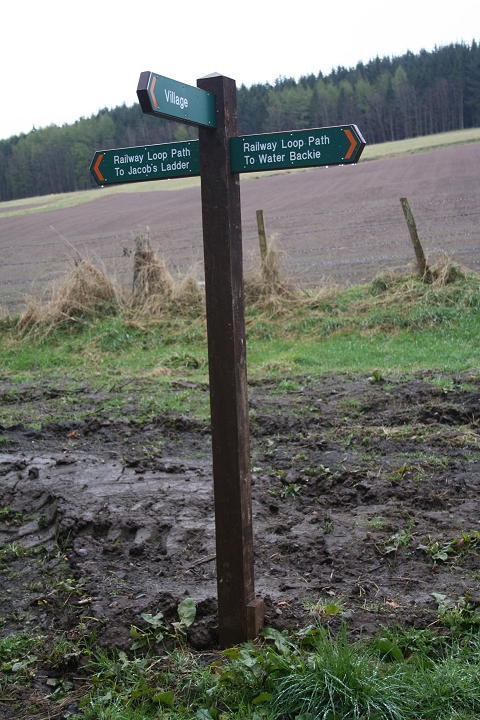
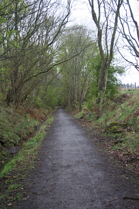
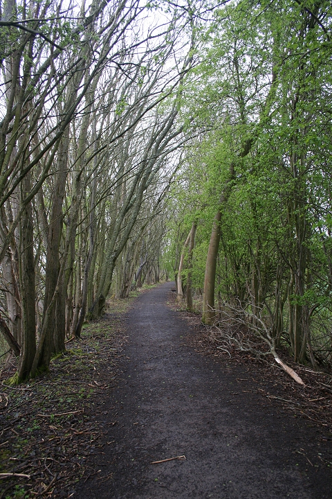
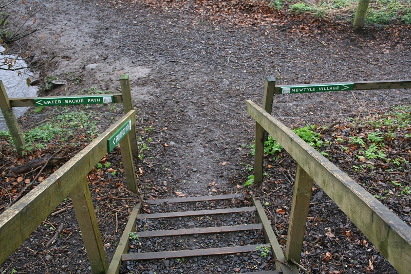
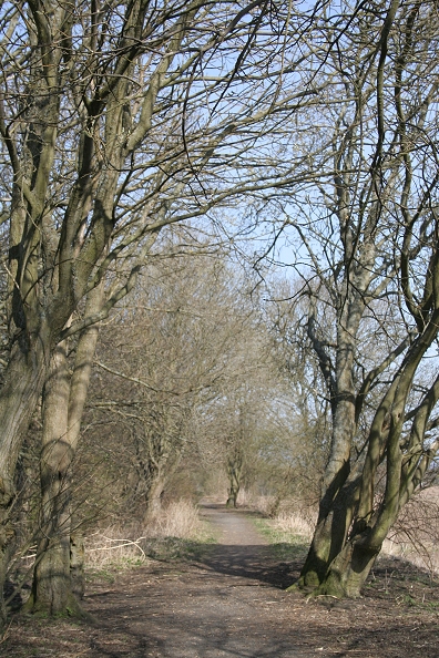
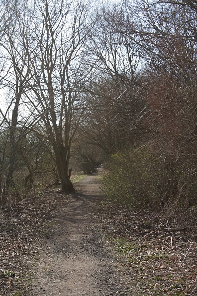
Just along the road a bit you come to the opening where you can get onto the track bed for the walk most of the way into Newtyle. There is a steep path, followed by wooden steps,
taking you onto the track bed, known as Jacob's Ladder. The walk terminates at the spot called Water Backie, with more wooden steps down to path level. There is a short walk
up to the main road, then approximately quarter of a mile walk into Newtyle. There are a number of interesting points along the way, including the deep stone cutting and
some very pleasant views over Newtyle.
Climbing up the side of the embankment from the B954 at Jacob's Ladder. You have to climb over the gated
path to continue towards Newtyle. You are not on the official walk way until a little way beyond this gate.
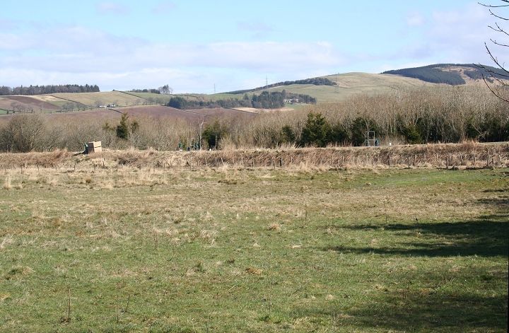
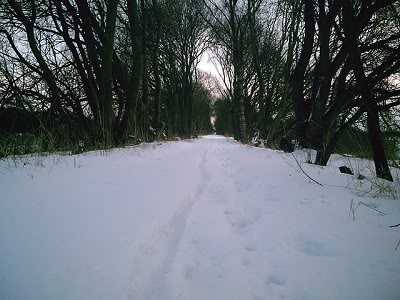
Pretty bleak conditions. Hatton Hill incline station is in the tree line. From the B954.

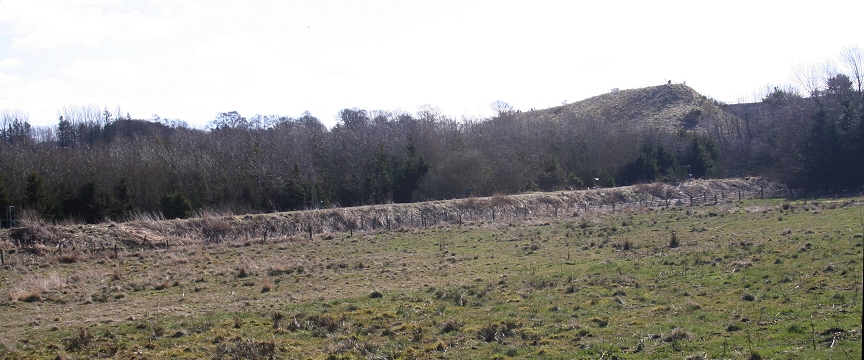
Hatton Hill summit. The Engine House and Station stood at the tree line. The incline drops down to Newtyle. Follow the line of Electric
Wire Posts to the left. In the center foreground is the newer track bed running through the Gluck of Newtyle.
A closer view of the Old station house site. The newer track bed in foreground. Trains were loco hauled from Auchterhouse to
this spot then trains raised and lowered down the incline too/from Newtyle.
The Engine House would have been seen clearly from here.
Both Above: The electric wire posts stand on the incline track bed as it drops town past Hatton Castle and into Newtyle 'old' station

Hatton Hill from the newer line track bed.
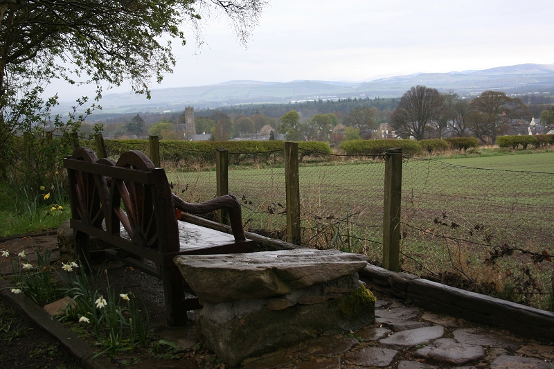
A nice rustic seat with a fine view over Newtyle. As much as I could have done with it, it was just too wet to sit here.
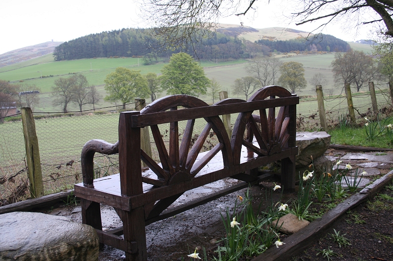
Hatton Hill Summit from the 'newer' track bed.
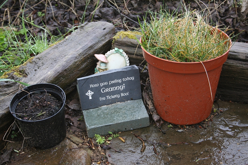
Good Old Grannie
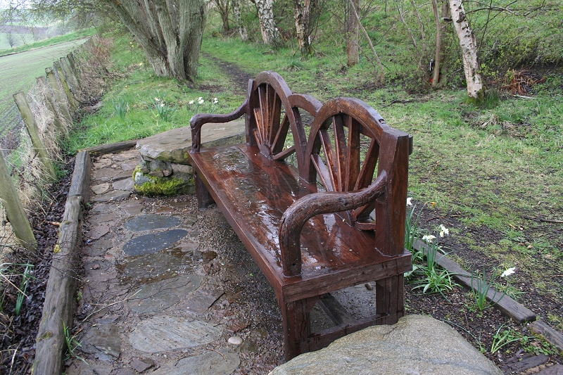
The soaking seat with the track bed behind, looking towards Auchterhouse
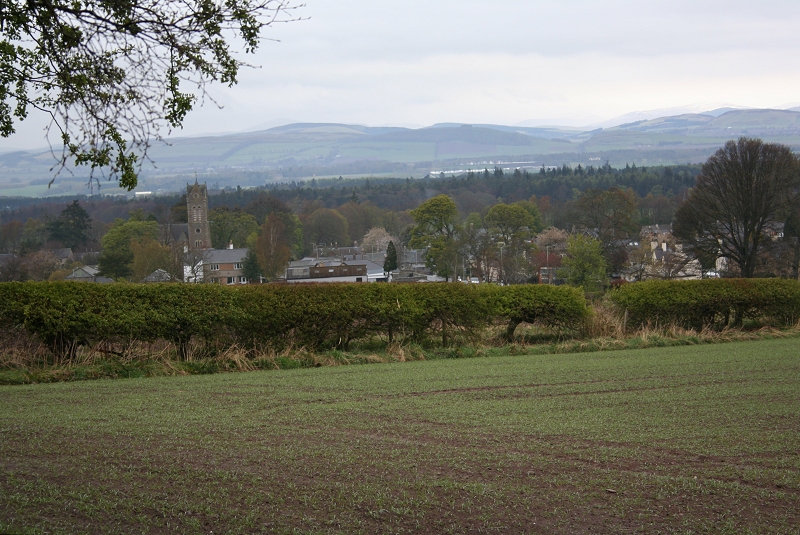
A little further on from the seat is this fine view, even in these conditions, of Newtyle and it's church.
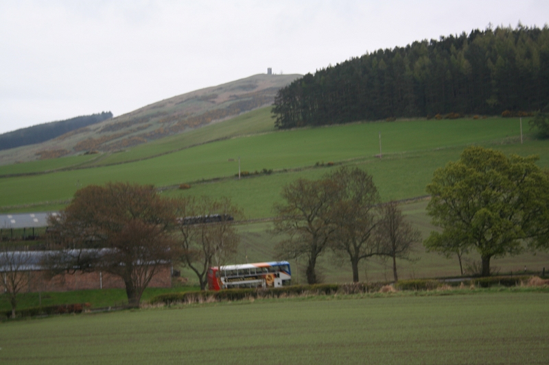
Hatton Hill and the tower on Kinpurney Hill, with the hourly bus from Blairgowrie to Dundee passing. The electric wire posts are on the incline track bed.
The track bed towards Newtyle
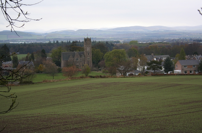
A closer view of the unusually designed church tower.
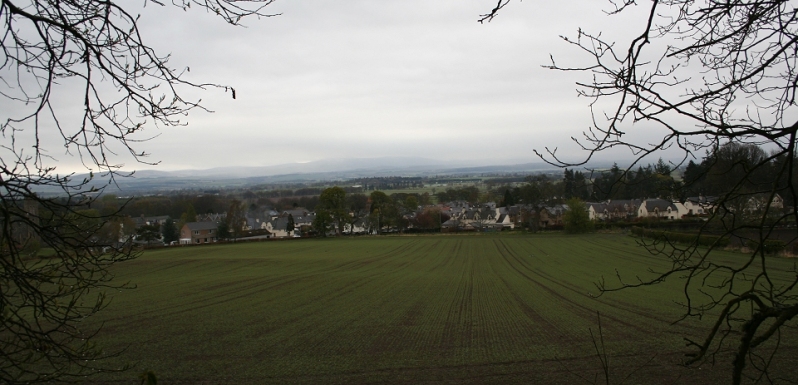
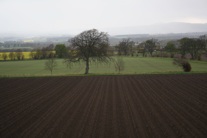
A couple of panoramic views of Newtyle from the track bed. In spite of the very wet weather it is still a scene.
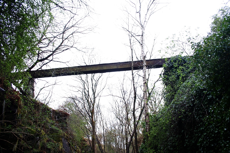
A farm track over bridge on the divergence line.
The bridge above. Seen from the main road. (P. Gamble)
'Choices' You can either carry on along the track bed or take the path into the village.
This post has been placed quite rescently.
The marking on the path makes it look as if it was singe line of track. Left: From Dundee. Right: To Newtyle.
The tracks may well have ben formed by the cart/vehicle used in delivering the new sign post to the site above!
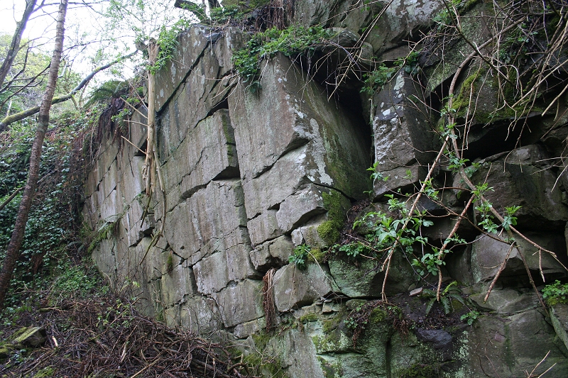
An interesting stone cutting that will have taken a fair bit of work and will have cost a lot to build.
 I
I
An aqueduct across the track bed.
Footpath bridge before arriving at Newtyle 'Newer' station site. Left: Towards Newyle. Right: Towards Dundee.
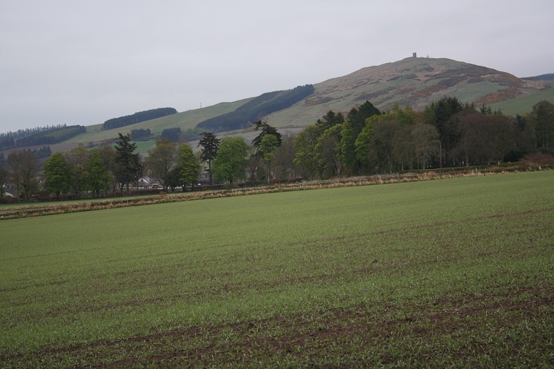
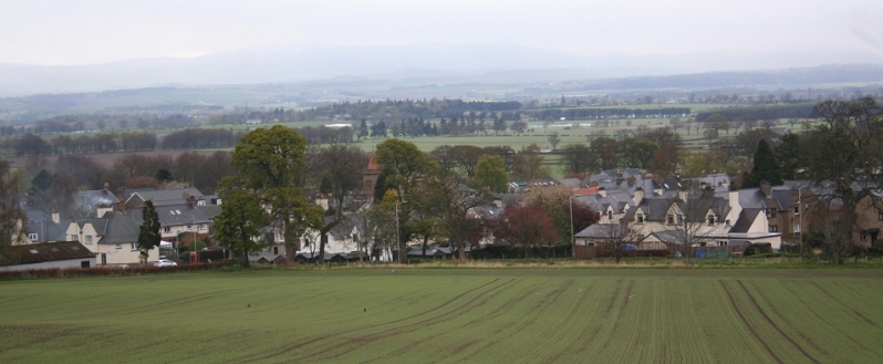
Kinpurney Hill and tower dominates the scene
Left: Back towards Jacob's Ladder. Right: The end of the foot path is in sight, up ahead.
View from the embankment prior to dropping down the steps to leave the track bed at Water Backie.
End of the walk from Jacob's Ladder to Water Backie. It is about quarter of a mile's walk on the main road into Newtyle.
The steps down from the track bed at Water Backie are behind and to the left of the bridge. Looking northwards.
VIDEO: A cycle run by David Martin over the trackbed from Water Backie to the sign post for Newtyle village
(Don't forget to come back to this page, thanks).
http://www.youtube.com/watch?v=vVAYO82KwCM
Newtyle Railway layout. With the D&N new line coming in from the west (left) to the new station and onto North Junction,
where the old line remained and ran to the old Station where it was used as a goods depot until total closure in the 60's.
A turntable was situated at the triangle of the two lines.
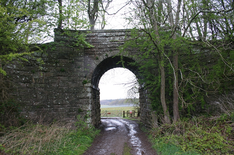
Left: East view of the over bridge of the new line as it crossed the Cupar Angus road and curved eastwards towards the later Newtyle station. Right: From the west side of the
bridge with Auchterhouse and Dundee to the right.
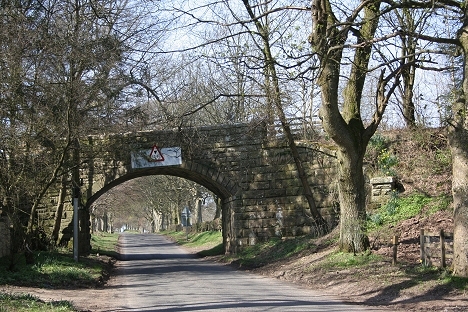
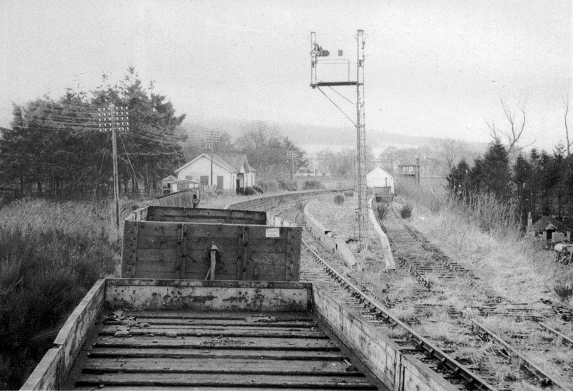
Well preserved over bridge at Water Backie on the finalquarter of a mile into Newtyle Station
Left: The road bridge with the line coming in from Dundee on the left and with the station immediately on the right. The signal box stood on the left abutment where the trees are.
Right: From the west side of the bridge. Station to the left.
The new line met the old line at North Junction and onto Alyth Junction
Back At Bulb Park Ex Crossing I walked the old track bed up to the site of the North Junction then back up the newer track bed to the new station site.
Above , and below are a few shots taken on the walk up to North Junction, where the remains of the turntable lays. This is the start of a public
footpath up to the site of Alyth Junction
The walk way heading north to the Alyth Junction site. While the weather was fine
there is still snow in the hills.
I turned back here and walked the newer track bed as far as I could get to the new station site. Right: The track bed turns right and heads south to the station site, in the distance.

Close to the spot above. The train coming off the old goods line at Newtyle North Junction in January 1961. The new
station is off to the right N.B. that the brake van is next to the loco, indication that he is going to run round the train in
the new station before working southwards to Dundee. (Photo by W.S. Sellar).
Remains of the turntable, which lays between the 'v' of the two track beds at north junction. Just out of sight
in the photo above. I'm standing on the old line with the later one behind on an embankment.
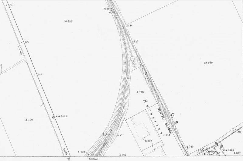
Newtyle North Junction & Turntable (Map)
TURNTABLE SITE (17th April 2014)
The turntable is being dug-out and cleared. Apparently it is going to be turned into picnicing area with seats etc. It will be interesting to see
what it looks like on completion. It could turn out to be an interesting attraction and bring more people to the railway trail.
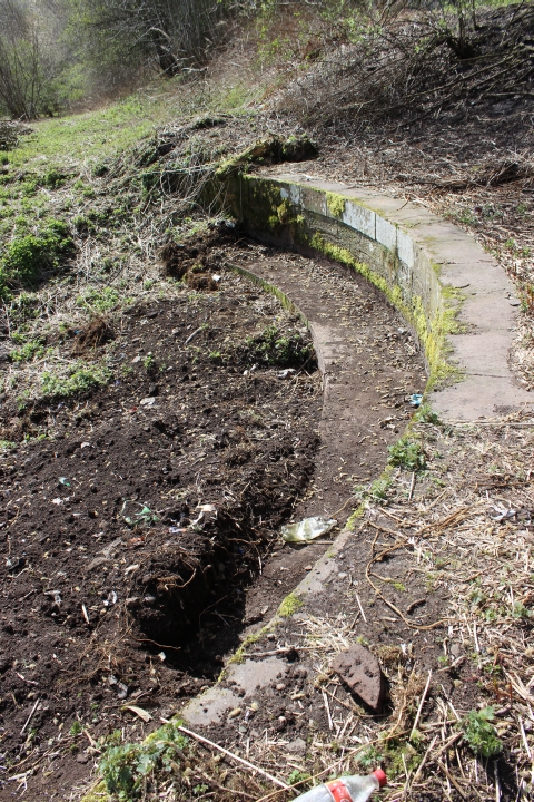
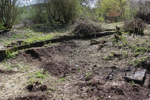
Left: The turntable from the north side with the divergence track bed behind, to the newer station site. Right: The centre 'pin' base.
The new line trackbed runs behind the turntable site. Newtyle North Junction.
Left: The complete turnatble site from the north end. Right: North Junction. The incline railway ran on the right, with the spur to the turntable in the center and the new line on the right. 17th April 2014.
====================================================
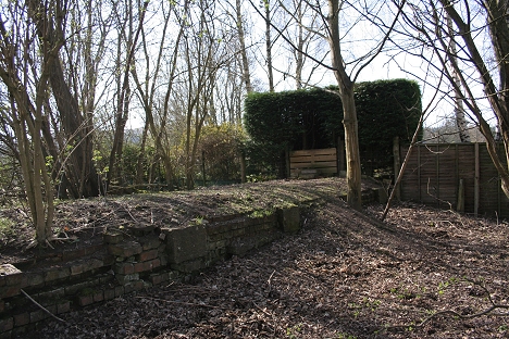
Left: The old incline track bed from the new line as it runs towards the site of Bulb Park Crossing and into Newtyle old station.
Right: on the embankment heading towards the new station site.
NEWTYLE 'NEW' STATION SITE (April 2010)
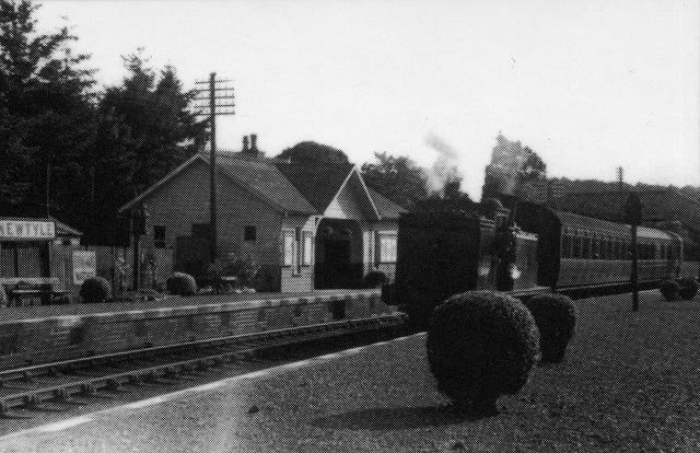
Newtyle New Station in January 1961. Near the end but still enough detail to help you recognise the following
April 2010 photos as to what you are looking at and where you are. The Blairgowrie bay platform was on the
far right. The signalbox is standing on the north side of the bridge over the B954 road. Note the girder type
signal post on the north end of the platform! See Below. (Photo by W.S. Sellar).
Remains of the down platform and the Blairgowrie Bay at the north end of the station site. The left hand photo is close to the B&W one above, only a little close to the platform end
end and I am standing more to the right and on the bay line track spot. more to the right. Note the remains of the girder type signal post at the end of the platform. It has been cut off
at the base. See Below.
A cropped section from the above photo, showing the base of the girder type signal post.
During Demolition. The down starter signal with it;s signals that took either the two single lines to
Ardler Junction or to Alyth Junction Station. The Blairgoweie Bay Platform is on the right.
The north end of the station site is cut off at this point by a house and gardens built upon the
station site. This is running towards the station buffer stops of the Blairgowrie bay platform.
Left: On the down and Bay platform. Right: Reverse view looking towards Alyth Junction
The remains of the down platform facing. Looking north. Standing in the four-foot of the two station lines
Remains of the Up Platform
Above: The owner kindly let me into the garden to photograph the only remains of the down platform and bay line. Looking North. Right: approximately on the site of the up
platform station buildings.
Looking south on the site of the down platform and bay line just prior to the line crossing over the main road and
south to Dundee. The owner mentioned that the house, just out of sight to the left, is more or less on the site of
the up platform building (Below)
Newtyle (New) Station. Close to the photo above. (R.B. Parr. Mike McDonald Collection).
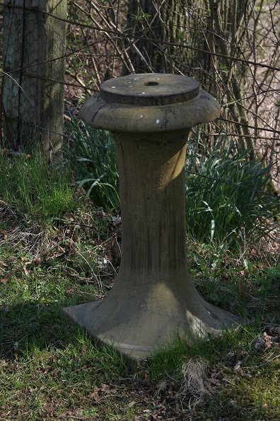
A coincidence, perhaps! This stands in the old station forecourt and looks
very much like a replica of a train buffer but was probably a garden sundile!
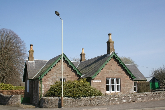
The Ex Station House by the entrance on the Perth-Meigle road.
======================================================================================
======================================================================================
HATTON INCLINE (Millhole) TO NEWTYLE (Old Station)
Links & Reading:
The Dundee & Newtyle Railway by Niall Ferguson. Still available from some books shops and on the Internet.
The Dundee & Newtyle (A history by Elliot Simpson)
http://www.auchterhouse.com/history/railway.htm (Includes and excellent map of the railway)
http://www.geograph.org.uk/search.php?i=7762615 Excellent 'remains' photos including the Law Tunnel, Balbeuchley Incline and Dronley
http://www.hows.org.uk/personal/rail/incline/dund.htm Explains the inclines but sketches are very poor quality and almost useless.
Video Screen grabs from the The Railways Of Scotland Volume 8 "Dundee". An excellent video available on DVD, from Cinerail at: http://www.cinerail.com/cinerail/railways-of-scotland.html There are many great archive scenes of almost every Scottish
route you can think of. Well worth a look.The Cromford & High Peak Incline railway in Derbyshire has been luckier in having much of it's buildings, including an Engine House preserved. This is what could have happened, indeed, should have happened with at least one of the D&N inclines.
However, the C&H gives an excellent comparison of what the D&N would have looked like.http://www.hows.org.uk/personal/rail/incline/hop.htm
Boddam To Ellon Branch (Walks) By Bill Reid.
Hosted by www.theatreorgans.com