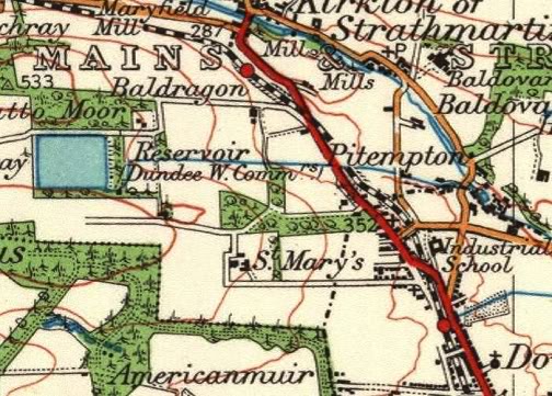
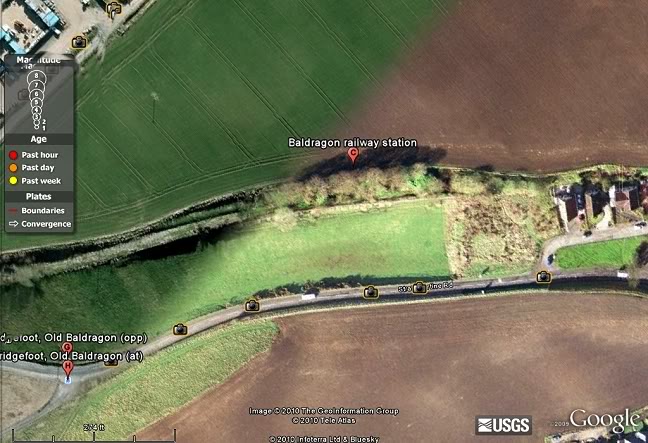
From Downfield the line ran northwards to Baldragon station, by Bridgefoot village and then
to Craigmill where the new line via Dronley began, while the old line took the Balbeuchly
incline. (1922 map).
DOWNFIELD - ROSEMILL JUNCTION
(Original Line Formation)
(Includes some screen grabs from Google Earth & Google Street Views)
Update March 2021 (New Photo/Text in blue).
From Craigmill the line started the climb at Balbeuchley Bottom and pulled by rope to Balbeuchly Top. From Pitpointie the trains ran under their own steam until reaching the
Hatton Incline, to the south of Newtyle. These 'Google' photos capture remains of the track bed and the sites of Balbeuchly Top and from Pitpointie to Auchterhouse.
From Downfield the line ran northwards to Baldragon station, by Bridgefoot village and then
to Craigmill where the new line via Dronley began, while the old line took the Balbeuchly
incline. (1922 map).
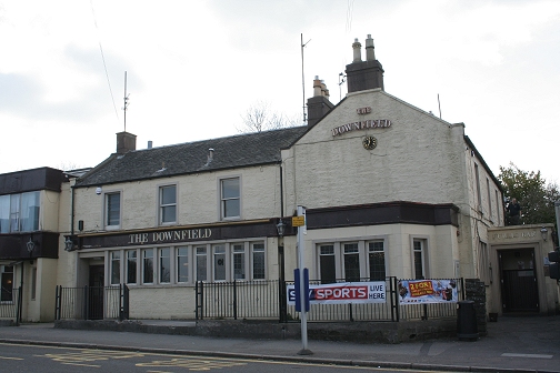
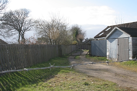
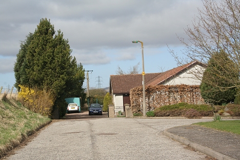
The Downfield Inn. The station entrance was alongside, to the right.
The station entrance was at the north end of Downfield Inn and the platform and goods siding ran to the top of Strathmartin Road and Cox Street
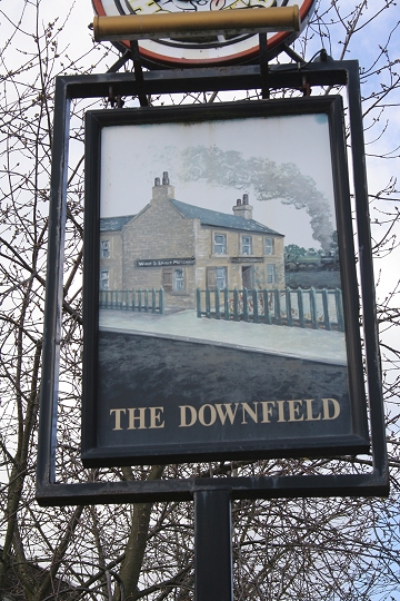
The Downfield sign post marks the area's connection with the railway
 k
k
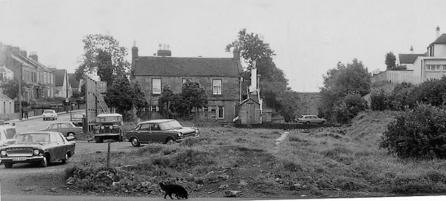
Baldovan & Downfield Station Site in the mid 70's. Looking South with the track bed backfilled to some height. The house
is that of Downfield Inn. The proprietor has already taken over part of the track bed. The four storie tenement building
above stands on this site today. (Photo by Ben Brookbank)
April 2010. From the back of the Downfield Inn the back-fill is still evident but has settled a fair
bit, with a house standing on the northern end of what is now Caledonia Gardens.
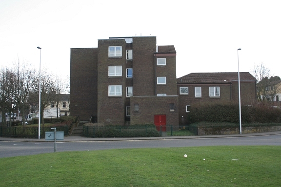
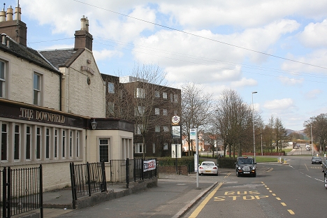
This building stands between the Ex station entrance and the Inn.. The new road design and roundabout
is where the platform began and ran towards the top of Cox Street
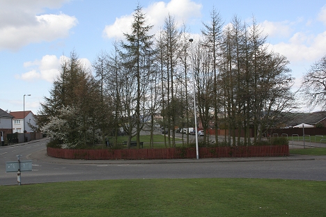
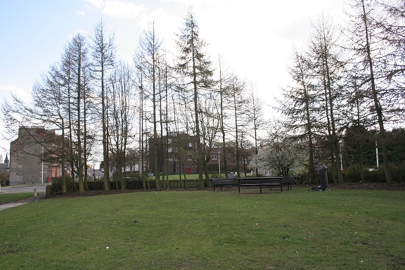
The site of Baldovan (Downfield) Station. The platform ran the length of the green with the goods
siding within the trees ahead. Fredrick Street (left) and Strathmartin Road to the right . The roundabout
took away a good few yards of the track bed to the north end of the station.
Looking south. Roughly where the station platform buildings stood. The tall building up ahead stands
by the old station entrance
Northern end of Strathmartin Road, with what was the coal siding on the left. This was also the site of the
Downfield tram terminus head shunt.
The site of the Goods siding
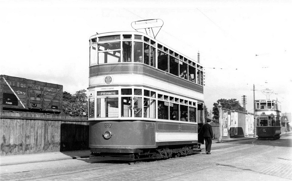
Downfield tram terminus, with the coal siding behind the tram. The tram on the right is just about to leave the
head shunt for it's journey back into the City. (Norman Hurford)
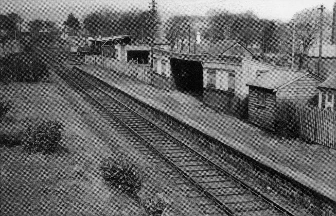
Baldovan & Downfield Station. Looking north towards the over bridge at what is now the junction of Strathmartin Road and Cox
Street., with the goods siding on the right. Plans were made to rebuild the station buildings but never came to be. (D. C. Thomson).
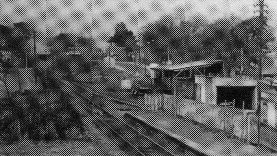
A cropped section showing the sidings and the Cox Street/Strathmartin Road over bridge. This would be
where the present day light industrial buildings stand today. See below right, which is very much the
same spot. (D. C. Thomson)
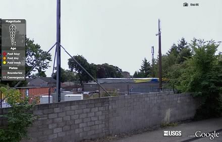
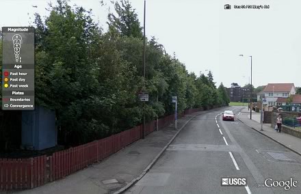
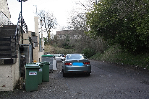
Left: Small industrial businesses within the track bed between Strathmartin Road and Cox Street at Downfield. Right: View down Cox Street.
Site of under bridge on Cox Street. Looking towards Baldovan (Downfield) Station site. The line of site is
the brick wall. The track bed has been backfilled and the new road link Between Strathmartin Road and
and Cox Street formed in it's place. This is where the Downfield city bus No. 22 turns back to the city
center. The tram terminus (Head shunt) was approximately where the white cars is seen, on the left,
on Strathmartin Road.
Cox Street Northern bridge parapet. This isn't the original bridge as the road has been widened at the
joining of Stratmartin Road and Cox Street.
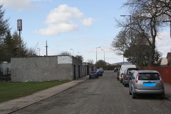
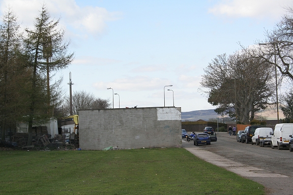
Between the Cox Street and Harestone Road bridges new housing is built upon the track bed for much of the stretch. Left: looking north. Right: Looking south.
Left: Harestane Road, Downfield. Looking towards Downfield) Station site. The railway ran below the road at this point. Right: The track bed remains looking
back towards Downfield Station.
North side of Harestone Road. The way is blocked by new housing, following the
track bed to the Strathmartin Road crossing.
From Pitempton Road. After Harestane Road the track bed ran on an embankment up to the bridge crossing Strathmartin Road
and into the cutting prior to running into Baldragon station. Part of the embankment (center) has been demolished and new
housing built upon the site.
By Strathmartin Road, looking back towards Pitempton Road where the embankment has been demolished
to make way for a housing scheme on the western edge of Downfield.
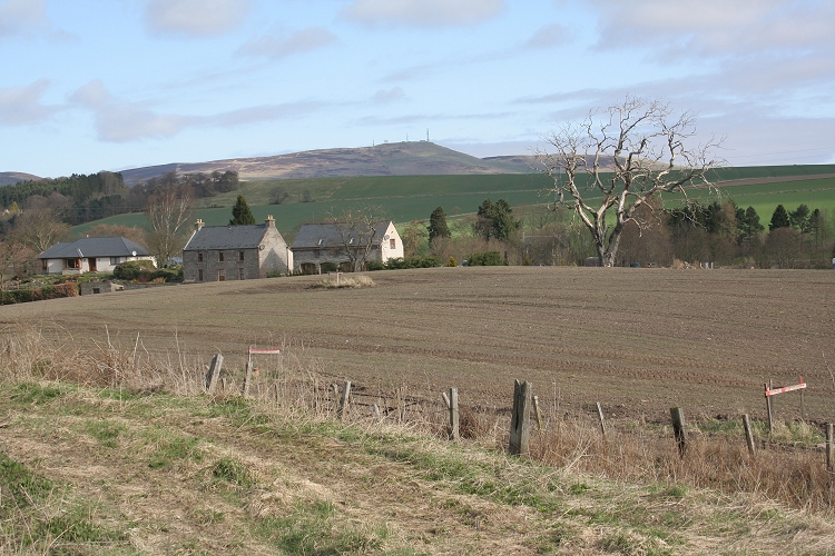
The track bed leaving Dundee, Downfield, with Baldragon Farm in the background. This is just before it crossed Strathmartin Road.
(14th May 2010)
From Strathartin Road. Looking towards Harestone Road
Left: Site of the road crossing looking back towards Downfield. Right. Looking towards Craigmill and the cutting straight ahead where
the line continues to the site of Baldragon station by Bankfoot village. 2014. I have since learned that this was a level crossing and not a bridge.
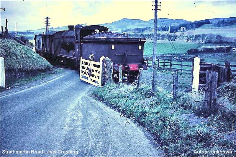
Goods train crossing Starthmore Road on it's way from Rosemill Jctn to Dundee. 1950's. (Author unknown).
Added March 21. Found on Facebook.
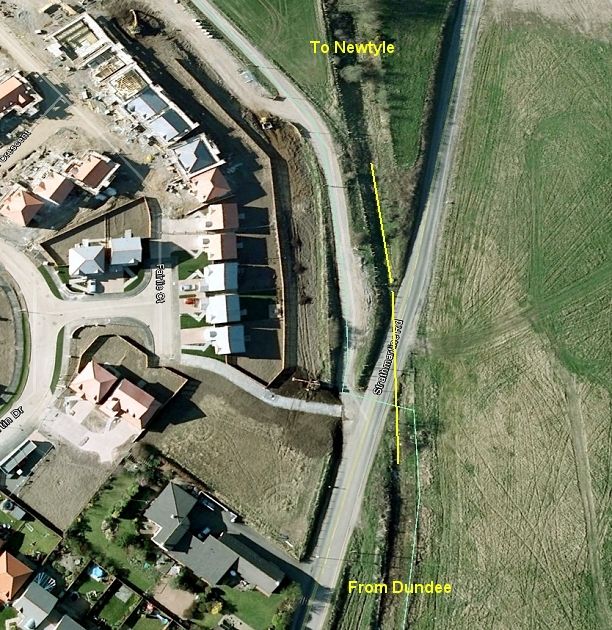
The Ex level crossing on the western outskirts of Downfield, where the line crossed over Strathmartin Road.
A large housing scheme is taking place on the south side of the track bed.
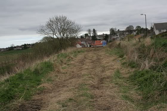
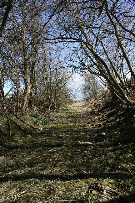
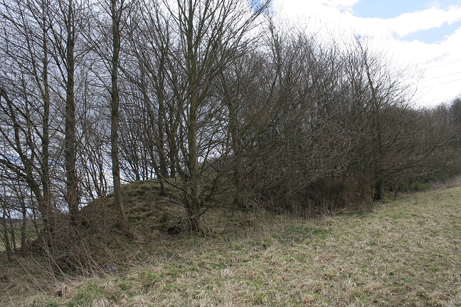
April 2013. I managed to get up onto the track bed on the embankment up to the site of Baldragon Station. It was very bogie, with lots of sharp Blackberry thorns to catch you out and the
going was slow. There really is little or nothing to see of the station and only a mound indicates where the platform used to be. The west end of the station site is heavily wooded and
overgrown and a complete barrier to getting out on the west side of the station and you have to return to Strathmartin Road to go any further westward around Rosemill Road..
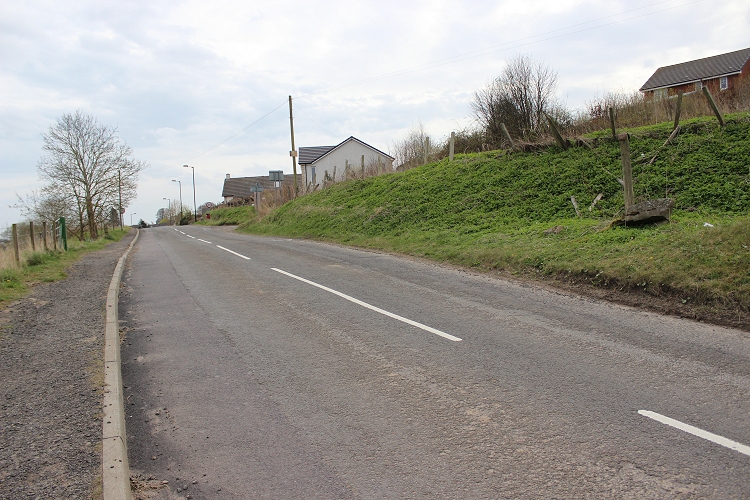
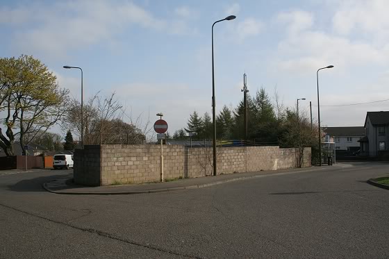
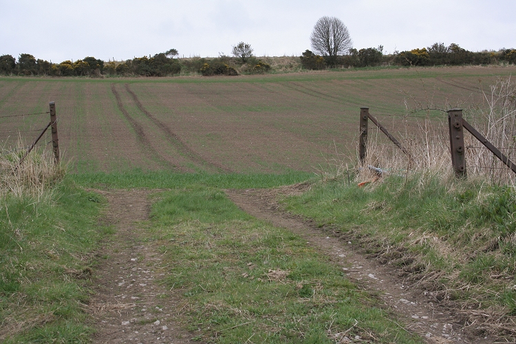
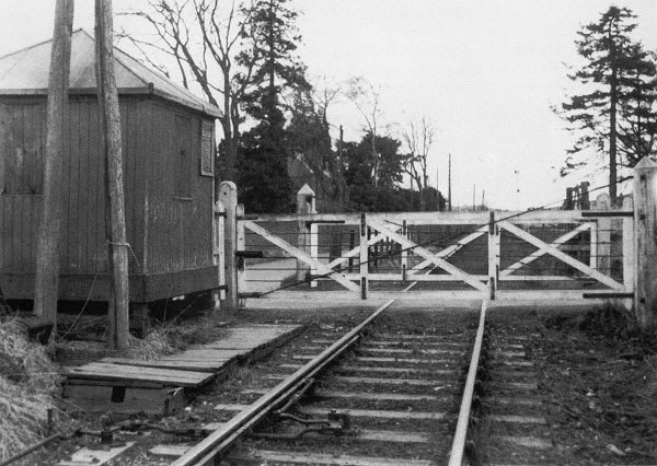
Site of the railway level crossing on Strathmartin Road. Towards Dundee. The line ran from left to right into
a shallow cutting towards Baldragon Station. (16th April 2014
Left: Looking towards Downfield Station from the Ex Strathmartin Road level crossing. Right: Remains of the west side of the Strathmartin Road level crossing.
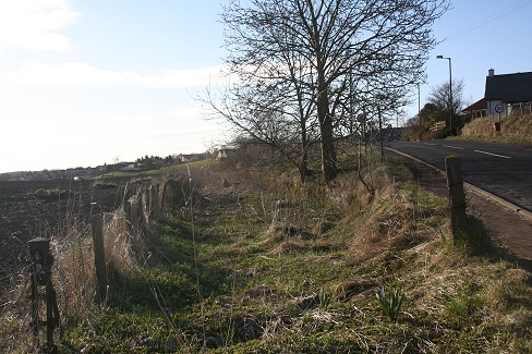
The shallow cutting, above, runs for a short distance and then opens onto the embankment to
Baldragon Station
Left: From the Strathmartin Road this is the clearest section but is still very difficult due to the overgrowth and bind of Blackberry branches.
Right: The overgrowth gets heavier as you progress.
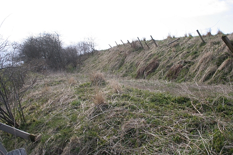
On the embankment towards the station site.
Left: Note the fence-wire tensining post on the right. Right: Towards Dundee with the mound of the platform remains on the right.

Left: From Strathmartin Road. Right: Towards Baldragon Station. On the embankment.

Left: Towards Rosemll. The house is built upon the station entrance from Strathmartin Road. Right: Looking along the length of the station platform remains.

The station platform was on the right of the mound.
Left: Looking back towards Strathmartin Road. Right: From the same spot looking along the length of the station westwards within the thicket of the overgrowth.

Ditto
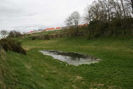
Baldragon Station site. Baldovan and Baldragon are the original names of these two areas. These are Gaidhlig names.
'Bal' refers to a wall, town or hamlet but also refers to a farm as in these two cases. I am not sure what the Dovan and
Dragon mean as they may be corruptions of Gaidhlig or Norse words. Dovan could be plural for Doves and Dragon,
exactly as it says.
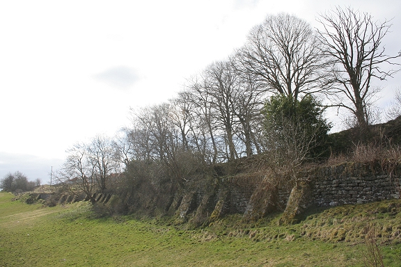
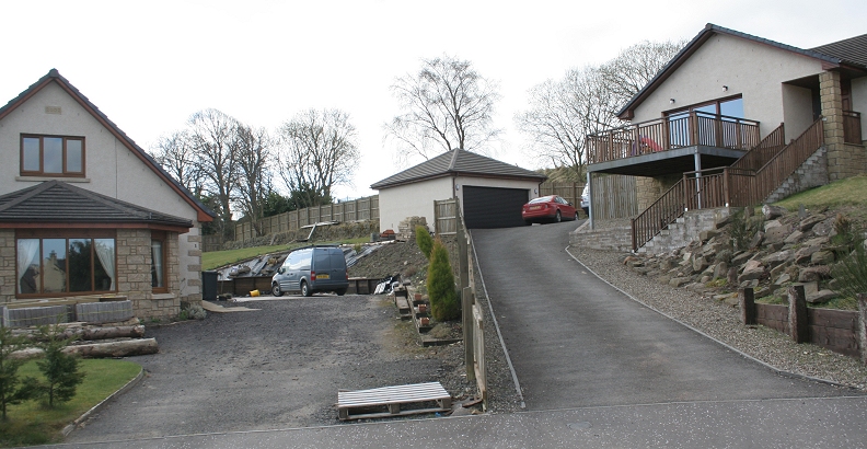
Left: With the new Downfield housing estate in the background the embankment runs east to west along the tree line. Right: The opposite view
with the embankment, running up to the site of the entrance to the station.
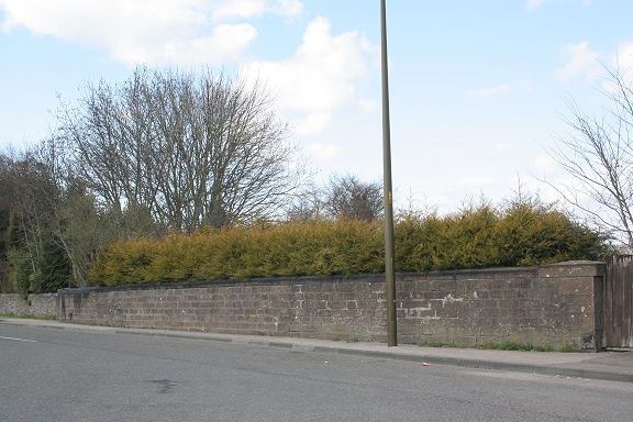
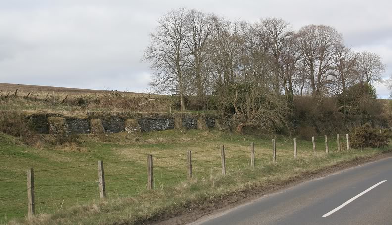
http://www.geograph.org.uk/search.php?i=7762615 Photo of walled embankment
The station stood upon a heavily braced embankment work that was designed especially for that purpose. It seems such a waste when you
consider the time, effort and skill of the workforce in building it. It is sad how industry and big business simply destroys great works once the
profits drop!
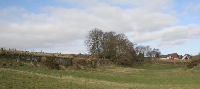
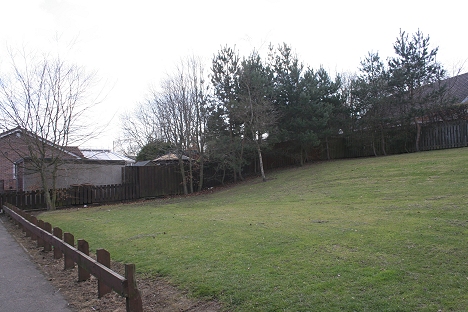
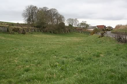
Full length of the station site with the new housing standing on the station entrance site.
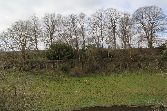
This would have been looking at the station face on
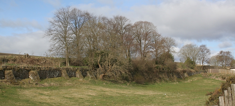
The embankment looking along it's length towards Dundee
East end of Baldragon Station, looking towards Dundee. April 2010
The station site and embankment from Strathmartin Road
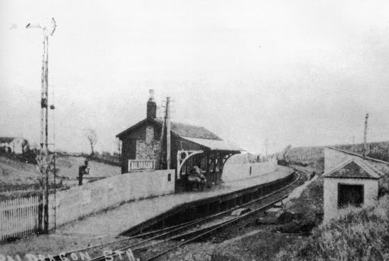
Left: Baldragon Station. Looking towards Downfield. There was a loop, seen coming in from the west end. (B. Mathews)
Right: Baldragon Station site. Looking west in the mid 70's. (Ben Brookbank)
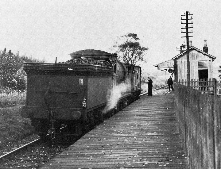
Train waiting to depart for Dundee in the 50's. N.B. The difference between this time nad that of above left
in regard to the inclusion of the extension and that the two-pole teleraph pole appears to be within the
extension shed. Likewise, in the above photo you can make out the markings of a possible previous
extension that has been removed. Could the white notice to the right of the station name board be that of
the the notice of closure! (Niall Ferguson Collection).
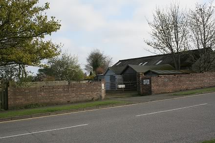
The old entrance to Baldragon Station and the goods shed site. The Goods Shed stood approx. where the house
on the rihght now stands.
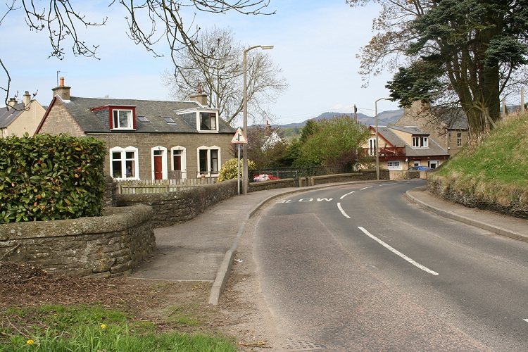
This was the First Baldragon Stationmaster's House. The second lived in a council house built on a new estate in the
village but the third stationaster moved into this old one. The village is Bridgefoot. It was the railway that gave the
station name as Baldragon. My thanks to the gentleman of the house for this information and other interesting stories.
(April 2011)
February 7th. 2010 Baldragon Station Site by David Martin
Left: East end of Baldragon station. Close to the photo above. Right: Remains of the platform, looking towards Downfield
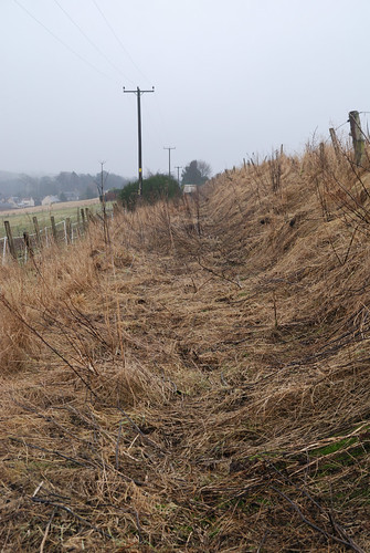
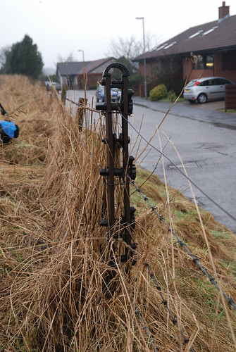
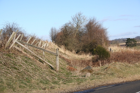
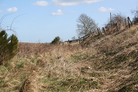
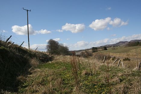
Left: Baldrgon station site, looking southwards. Right: Railway fence tension post, at Bridgefoot.
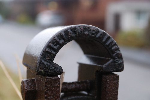
William Bain & Co. The foundry was on Ward Road
==============================================
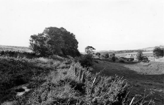
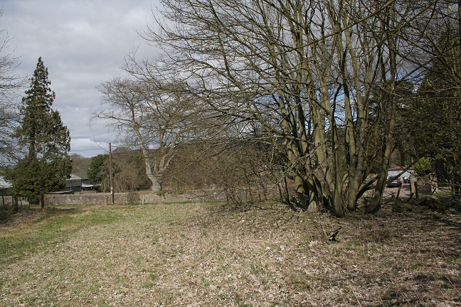
Left: The railway west of Baldragon Station is now a road. The station was in the trees far right. (Looking East). Right: Looking west towards Rosemill, where the road ends and
the old track bed continues, behind the vehicles in the distance. This (right) would have been approximately where the western end of Baldragon siding stopped.
From Rosemill Road, where the new road ends and the track bed continues towards Rosemill Level Crossing. The goods siding ran up to this point.
The track bed seen from the Bridgefoot to Rosemilll road. Running east to west.
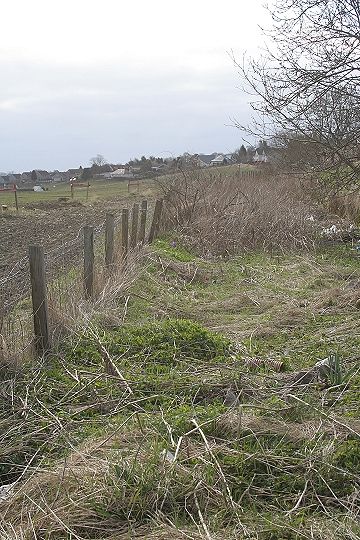
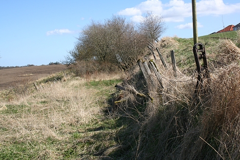
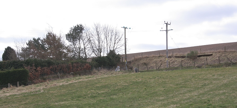
Remains of a farm crossing between Bridgefoot and Rosemill. The wire tensioning posts remain
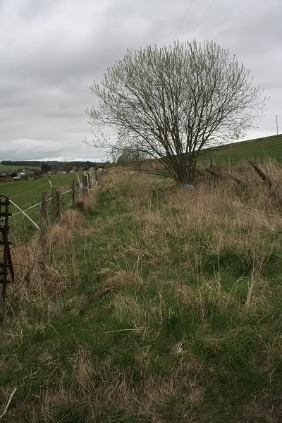
Left: Looking along the track bed from the farm crossing on the Rosemill Road, with Bridgefoot in the distance. Right: Towards Rosemill.
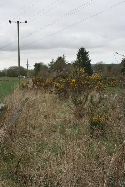
Site of the Rosemill fertilizer Works branch as it came off the main line and crossed the road into the
works on the left.
THE SMALLER ROSEMILL QUARRY
The smaller Rosemill Quarry was situated on the east side of Rosemill Level Crossing. A steep incline narrow gauge embankment ran from the quarry to a short siding that came off the
main line just before the level crossing.
The small Rosemill Quarry embankment. It ran from the quarry to a siding by Rosemill Road that was linked to the main line.
AuthorUnknown.jpg)
Left: The embankment running up to the small quarry. Right: Date unknown but after the quarry closure. The bone meal factory is still in operation nd you can see to
the far right where the junction into the mill was by the fencing. There was also a signal post there is possibly visable.
(Author Unknown).
Left: Half way up the quarry incline. Right: Looking down the embankment.
The embankment is obviously very steep and I am wondering how the wagons were hauled up and down the incline!
The break just before the bottom end of the embankment is interesting in that if it was original, would have meant a
steep drop to the wagons in the siding. It is shown in a 1920's map, as such but may have been different originally!
Left: The quarry in April 2010. (Bill Reid) Right: In the 1960's. This quarry is at the top of an inclined plane which presumably had a rail line
connecting the quarry to the main railway track - the actual quarry is smaller than would be expected from the amount of work which must
have gone into making the incline to serve it. (Elliot Simpson)
There doesn't appear to have been a lot of work done in this quarry but when you consider the equipment available
and the slower pace of life back then and the fact that there is quite a deep scar into the hillside, there was probably
a lot more work than imagined.
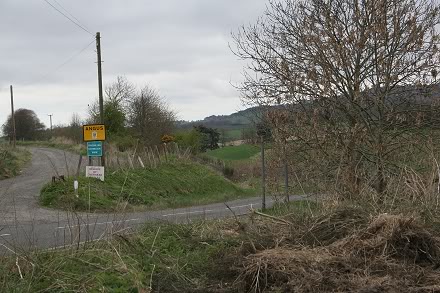
At he base of the embankment by Rosemill Road. The mainline ran left to right by the fencing and the quarry siding
would have ran from points off the mainline running up to the eastern end of the level crossing (left).
Standing on what would have been the quarry sidings. The road on the right was widened slightly. The fence as seen is
southern side of the main line and the siding was along the left hand side, running towards the house up ahead at.
Rosemill Level Crossing, which was to the right of the house up ahead.

April 2013. You can see how central the railway on the west side of the crossing is to the widened Rosmill Road as it is today. The 'narrower'
road was more to the right of the central white lines. I am standing on Auchrie siding that served the quarry. The stop block was just ahead
by Craignuir Road.
AuthorUnknown.jpg)
Auchrie siding at Craigmuir Junction in the 50's. Taken from the opposite direction from the photo above, showing where the stop block
had been. A group of locals watch the steam special pass on it's way to Auchterhouse. They stand by the siding where the quarry
wagons were loaded and unloaded. The siding was locked off when not in use, the gate being seen in the photo. The building on the far
right looks as if it was the office used for recoding the quarry movements. Apologies but this is the actual size the photo as found on the
Internet. (Author Unknown).
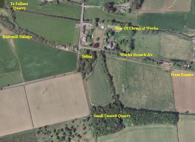
This Flash Earth image shows the small quarry in relation to the railway. A small siding on the east side of Rosemill
Crossing was used by the quarry. A narrow gauge track ran on an incline embankment too and from the quarry.
Left: These houses most likely belonged to Rosmill Quarry. You can see how Rosemill Road has been widened here and that the main line ran along the left hand half, up
to Rosemill Crossing. The signal cabin stood at the right hand corner by the tall tree. Right: Looking down the track bed towards Dronley. Up ahead the original incline
line went northwards on the Balbeuchley incline, while the new line carried on westwards before turning northwards to Auchterhouse and Newtyle.
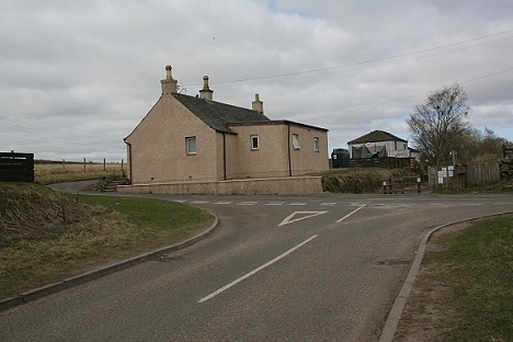
Rosemill Level Crossing site. Looking south. The crossing box was where the house on
the right stands.
Rosemill Level Crossing site. Looking north.
Rosemill Level Crossing. Looking towards Baldragon Station. Just up ahead was the connection into Auchrie siding
on the right by the trees, which led to the small quarry as shown in Elliot's B&W photo above. Near the distant signal
up ahead there was a branch going northwards across the road and into the fertilizer works (to the left).
(Norris Forrest)
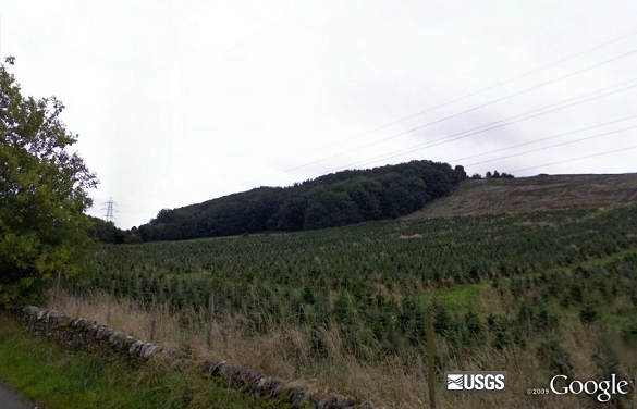
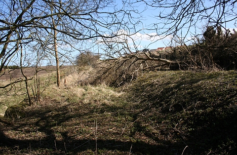
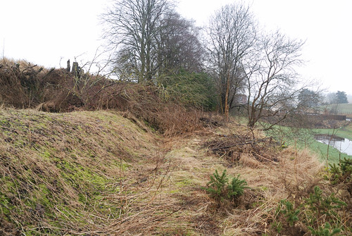
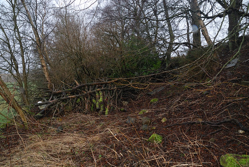
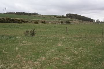
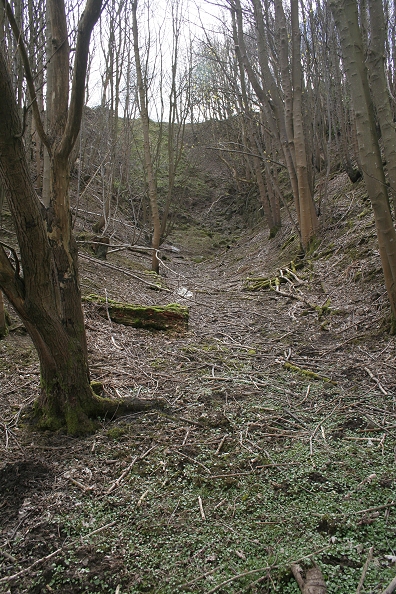
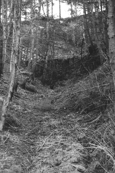
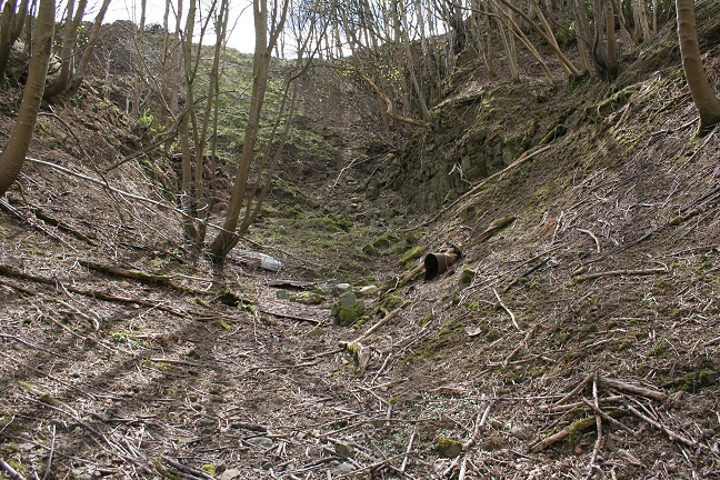
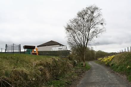
From Craigmill Road the old quarry is now quite a dense forest and will eventually be hidden by the
new plantings on the hillside.
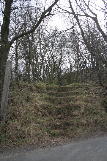
Steps on the southern corner of Craigmill Road, which went up
to the small quarry.
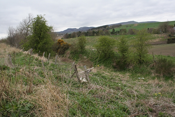
From the south, the two houses are iiiiin line with the track bed. They were Rosemill Quarry staff houses. The Sidlaw Hills are in the backdrop.
With the mainline track bed running east to west behind the house, you can follow the Balbeuchley incline in the background. To the left of center
(middle ground) is the electricity sub station where the incline passed to it's left in a cutting, up to Templeton Road. Ahead and to the center are the
plastic covered bails of strawby the Leoch Road crossing, then follow the tree line ahead to Balbeuchley Top. The line then took a right-angle and
headed westwards through Pitpointie Farm and onto Auchterhouse. Leoch Quarry was on both sides at the south end of the sub station, while
Fallaws quarry was in the large green area between the right hand side of the substation and the red car and dark green trees, below.
Left: To the north of the level crossing is the site of Rosemill fertilizer works. Right: Looking east. Water to the works was from a Lade off the river Dighty. The works' siding
coming off Rosemill Road would have been between these two buildings.
Video: Baldragon station site to Rosemill Junction site (April 2012)
===============================================
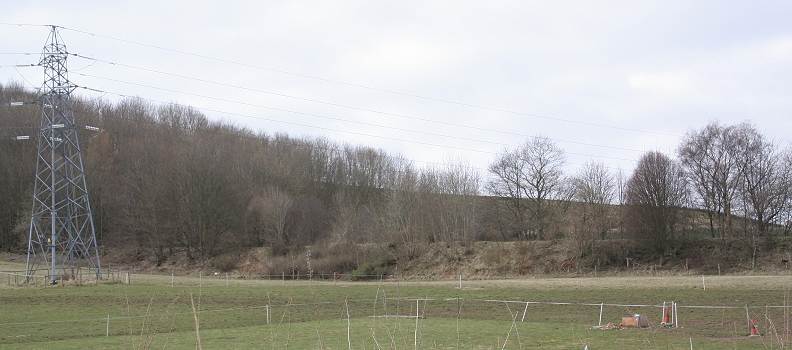
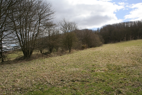
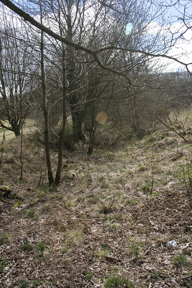
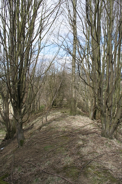
ROSEMILL JUNCTION TO BALBEUCHLEY TOP
Links & Reading:
The Dundee & Newtyle Railway by Niall Ferguson. Still available from some books shops and on the Internet.
The Dundee & Newtyle (A history by Elliot Simpson)
http://www.auchterhouse.com/history/railway.htm (Includes and excellent map of the railway)
http://www.geograph.org.uk/search.php?i=7762615 Excellent 'remains' photos including the Law Tunnel, Balbeuchley Incline and Dronley
http://www.hows.org.uk/personal/rail/incline/dund.htm Explains the inclines but sketches are very poor quality and almost useless.
Video Screen grabs from the The Railways Of Scotland Volume 8 "Dundee". An excellent video available on DVD, from Cinerail at:
http://www.cinerail.com/cinerail/railways-of-scotland.html There are many great archive scenes of almost every Scottish route you can think of. Well worth a look.The Cromford & High Peak Incline railway in Derbyshire has been luckier in having much of it's buildings, including an Engine House preserved. This is what could have happened, indeed, should have happened with at least
one of the D&N inclines. However, the C&H gives an excellent comparison of what the D&N would have looked like.http://www.hows.org.uk/personal/rail/incline/hop.htm
Boddam To Ellon Branch (Walks) By Bill Reid.
Hosted by www.theatreorgans.com