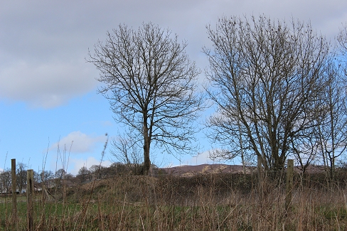
The new line left Rosemill, where the incline railway ran due north. A new station was opened at Dronley,
including a new passenger station at Auchterhouse.
ROSEMILL JUNCTION TO AUCHTERHOUSE VIA DRONLEY
(New Line Formation)
(Includes Photos from Flash Earth and Google Street Views)
(Update May 2014)
Added: Photos of track bed between Auchterhouse and Newtyle (New route and divergence to Newtyle 'new' station site).
Video: Clip at Dronley station site. Photos from between Auchterhouse & Millhole. Link to photos of the clearance and
drainage work through Pitnappie Cutting.
The new line left Rosemill, where the incline railway ran due north. A new station was opened at Dronley,
including a new passenger station at Auchterhouse.

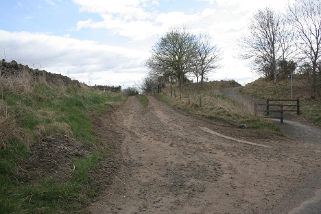
Rosemill Goods Sidings, looking north.
The entrance to Rosemill Goods sidings and Rosemill Quarry (right) from the south road, looking north

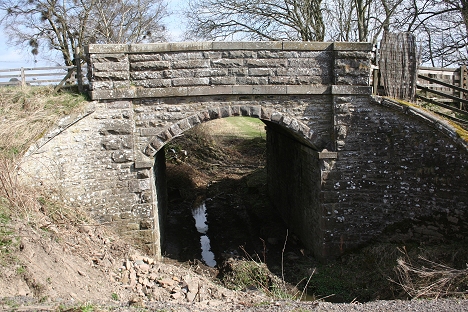
The new line crossed the Dighty stream to the west of Rosemill Junction.
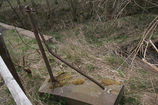
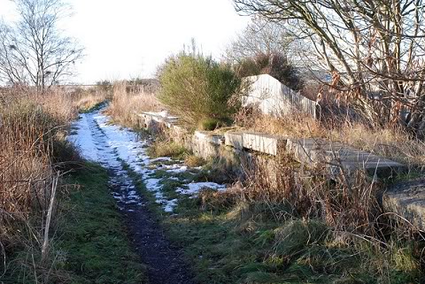
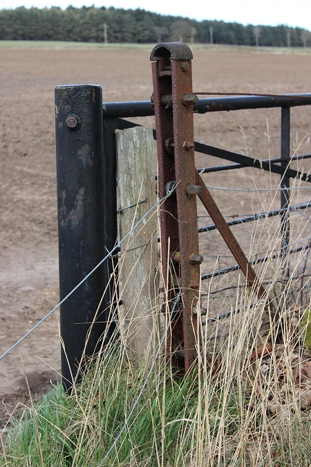
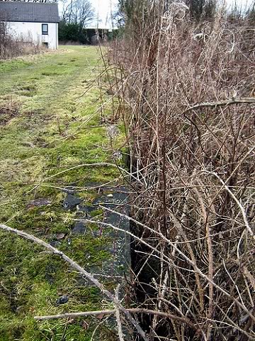
One of the bridge end slabs with the railing post still attached. (See below).
The railing post marks the site of Balbeuchley Junction. The branch was gated when not in operation.
Here you see the above railing post in place at the eastern end of the railway bridge. (Elliot Simpson)
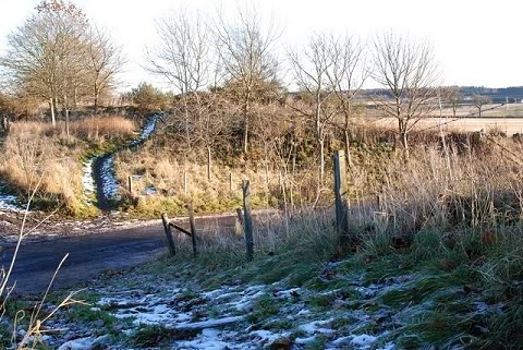
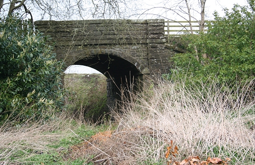
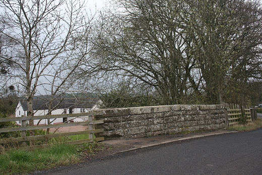
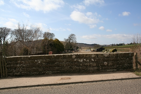
Left: Templeton Road Bridge from the west. Right: Ditto from the east
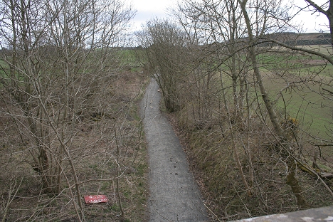
Left: View from Templeton Road. Looking west towards Dronley. Right: Ditto Looking east towards Rosemill.
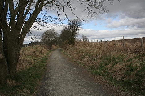
http://www.geograph.org.uk/search.php?i=7762615 Photo bridge from track bed and the track bed north of Dronley

The Templeton Road bridge, which is now part of the walkway (David Martin)
Left: Templeton Road bridge. Looking west. Right: Templeton Road bridge. Looking east. Compare David's photo with my 17th April 2010 ones since the track bed has been made
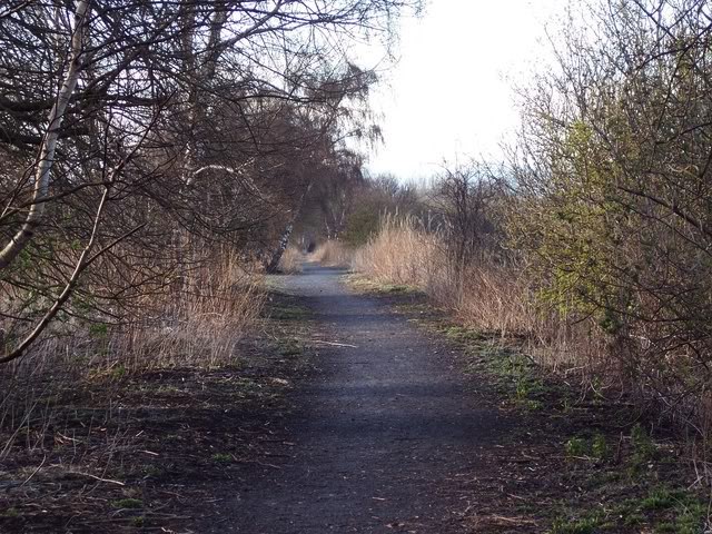
a public foot path from Rosemill to Dronley.
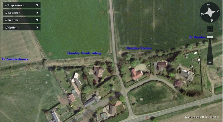
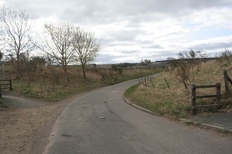
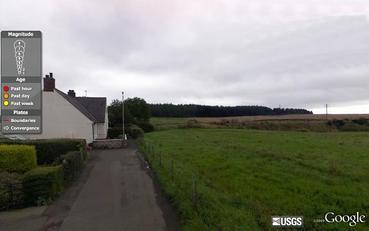
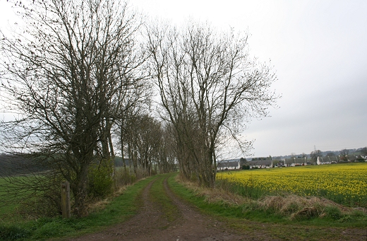
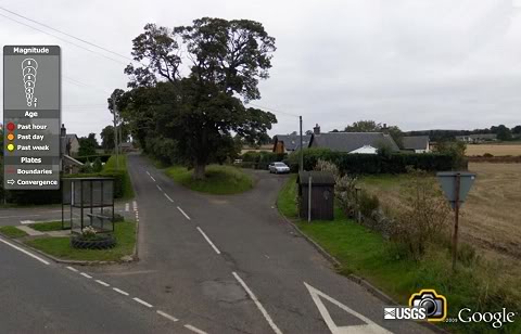
Dronley is quite a small village but certainly had a conveniently placed station. There was a small goods siding on the north side of
the road bridge. (Flash Earth)
DRONLEY STATION (April 17th 2010)
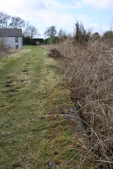
Dronley was a simple one platform station, with basic building and facilities. There was a small goods platform on the north side of the
over bridge. The platform is still visible and appears to be in good condition but quite overgrown.
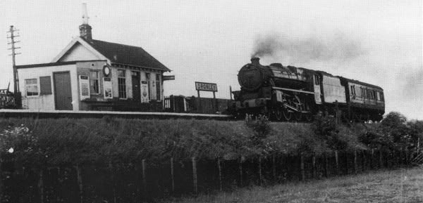
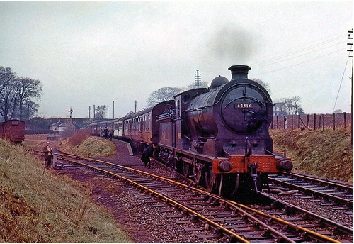
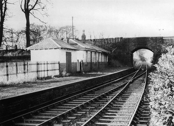
A Standard Class Loco with a single coach for Blairgowrie enters Dronley station. (Tom Mahoney).
Close to the same spot on the 17th April 2010
Looking north towards Auchterhouse

Central point where the station building stood (April 19th 2012).

Looking south towards Dundee
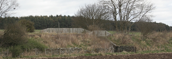
Left: The remains of Dronley Station. There was only a single platform. Right: Reverse view from above right, with the remains of Dronley Station in the trees. (David Martin)

Left: Ex over bridge crossing at Dronley Station (Looking North). Right: Ditto. (Looking South)
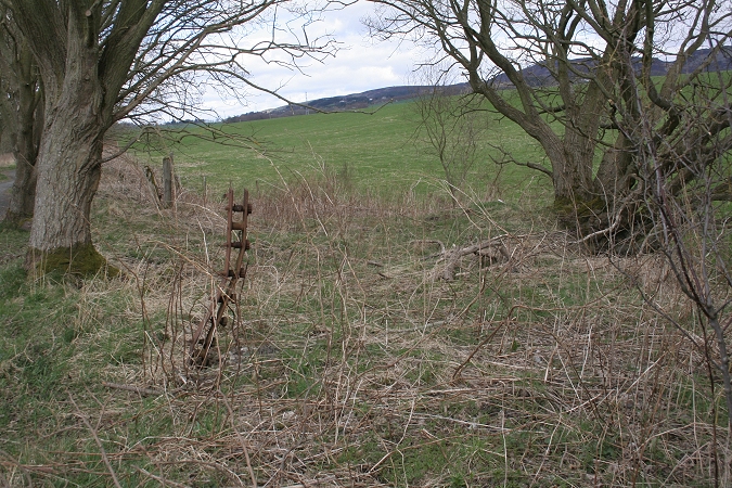
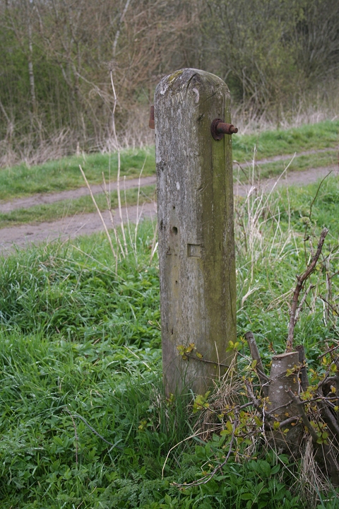
Left: Old Station Entrance. A path has been cut from the track bed down to the man road. Right: Embankment (North Side) with fence tensioning post still in place.
Wire tensioning Post by the old entrance to Dronley station. (17th April 2014).
Ex Goods siding site from village road

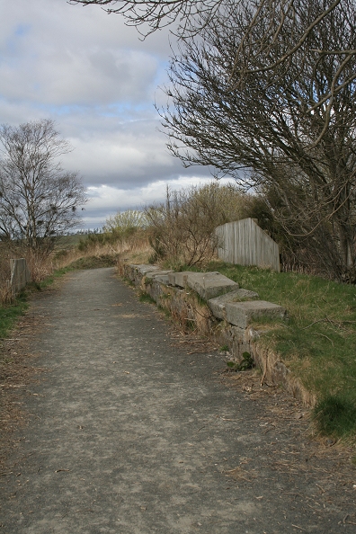
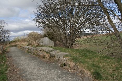
April 2013. Remains of Dronley Goods platform.
Dronley Goods siding (North End). The single dead-end siding's stop block was to the left. The trailing point came back in from just
ahead of platform and ran along the length of the platform. Looking south, with the station site on the far side of the Ex road bridge.


Left: Dronley Station House (From the station site). (April 2014).
Video: Dronley Station Platform by bike! (A video by David Martin. (Feb. 2010)
Video Clip: Dronley Station Remains (April 2012)
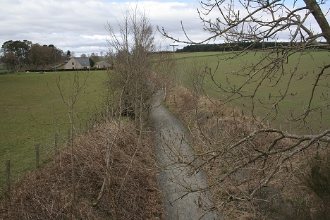
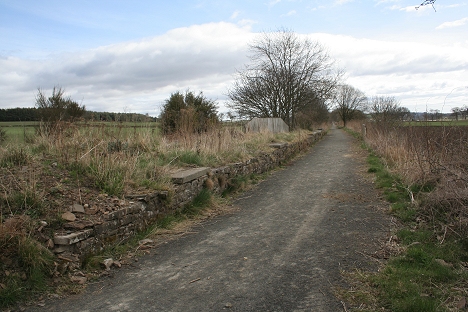
Track bed to the north of Dronley station site. Left: Towards Auchterhouse. Right: From Dundee.
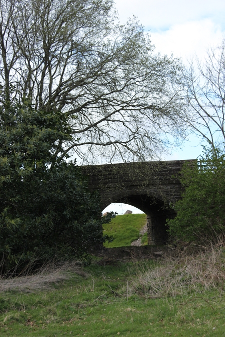
Ex over bridge on the Dronley Woods road. Looking west.
The northern Parapet. It is near total collapse (David Martin)
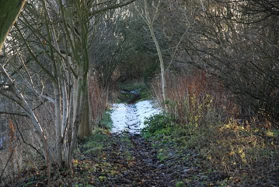
The track bed north of Dronley. (David Martin)
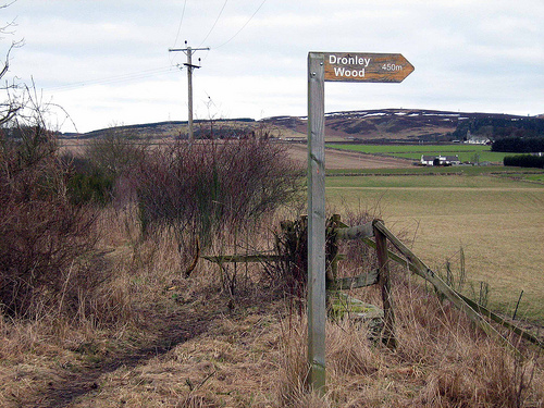
(Signpost to Dronley Wood from the track bed. (David Martin)

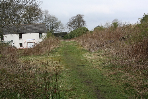
From the same spot in April 2010, a cropped image showing how the old & new track beds started to come together at Eastfield. To the right of the
house you can just make out the bricked-up under bridge, with the old track bed from Balbeuchley Top and running (left) towards Auchterhouse.

.jpg)
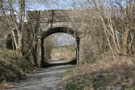
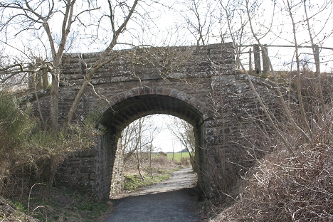
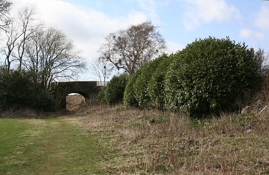
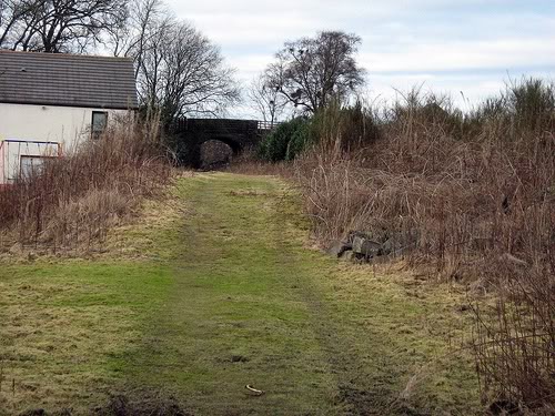
Complete over bridge by Dronley Wood, between Dronley and Auchterhouse. Right: 17th April 2014.
The reverse view of the track bed and bridge. Taken from the Eastfield-Dronley Road

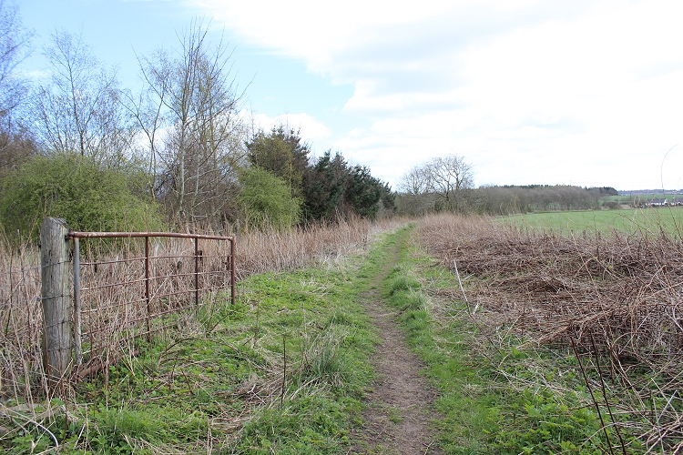
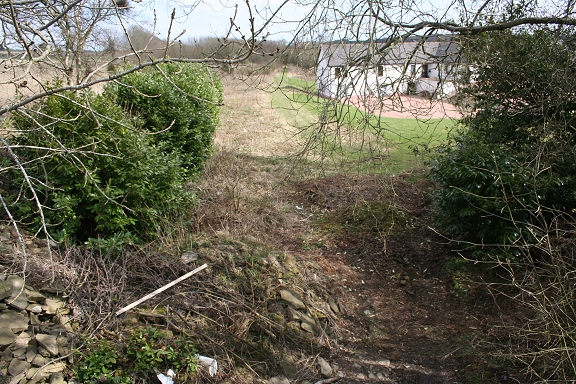
Left: The track bed just to the south of Auchterhouse near Denhead. (David Martin) Right: A little further north and approaching Auchterhouse (new) station, on the B549.
The track bed at Eastfield Hosiepark to the south of Auchterhouse, with Dronley Wood in the background.
My april 19th 2012.walk over the D&N track bed.
I set off from Downfield just after breakfast at 8.30 and walked the whole length to Newtyle. My main aim was to cover the 'divergence'line from Auchterhouse
to Newtyle, which I had not done before. I was only foiled covering the whole route due to the section north of Auchterhuse, which is used by a shooting
club sand the Tank Group there, which meant a walk around the site over a farm track, before meeting the road taking me down to the B549 by the single arch
over bridge. I then walked the main road up to where you get back onto the track bed of the divergence line at Jacob's Ladder. The track bed walk ends at
Water Backie, a quarter mile from the village.
After welcome refreshment at the Commercal Inn, by the old Station, I caught the next available bus into Auchterhouse, where I got back onto the track bed
and walked back to Downfield. In spite of the poor weather conditions and getting quite wet at one point, I thoroughly enjoyed the day's outing, taking
around eight hours for the round trip, getting back to my lodge at 16.20. Not bad going and having only taken the bus for the few minutes ride into Auchterhouse.
The only remaining part of the two routes that I have not walked is the bit from Hatton Summit to Millhole. Perhaps I will manage to do that another time!
This section now contains photos from this latest visit and from my previous visit in 2010 and re-edited to suite.

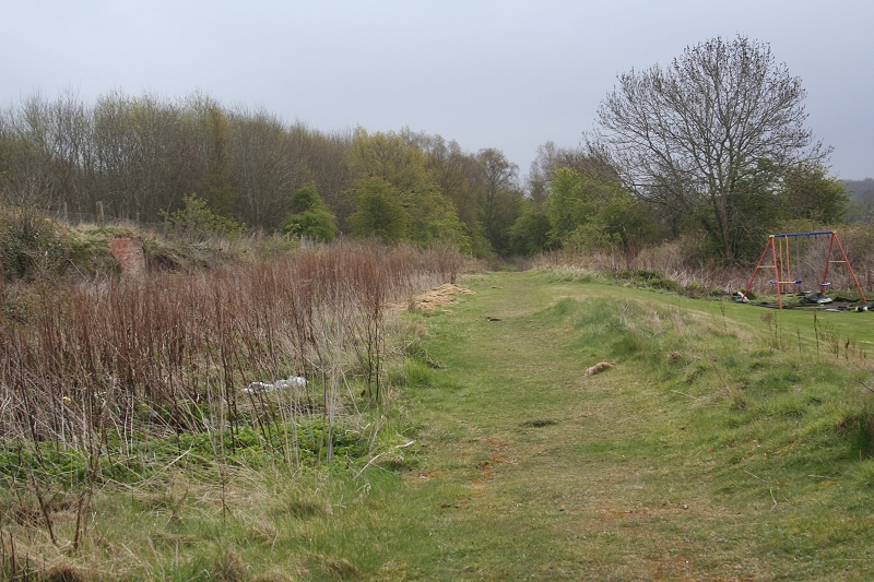
Approaching Eastfield Hosiepark
 .
.
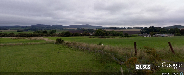
View westwards from the track bed at Eastfield Hosiepark

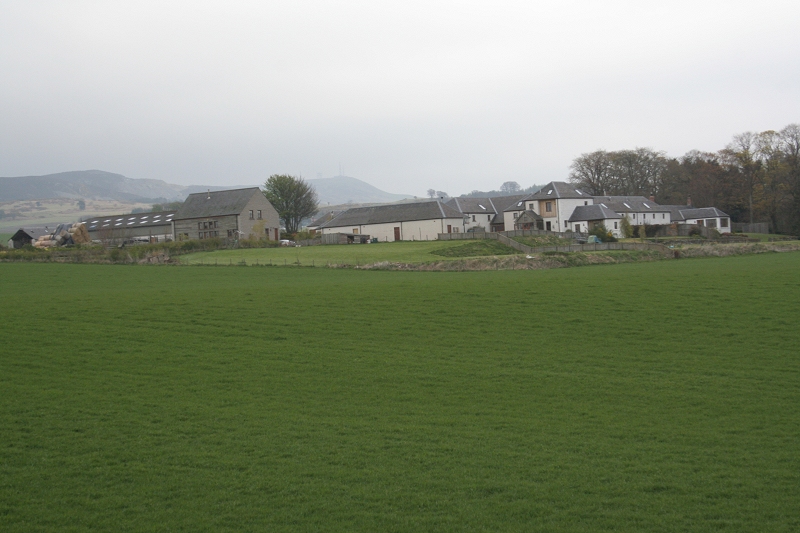
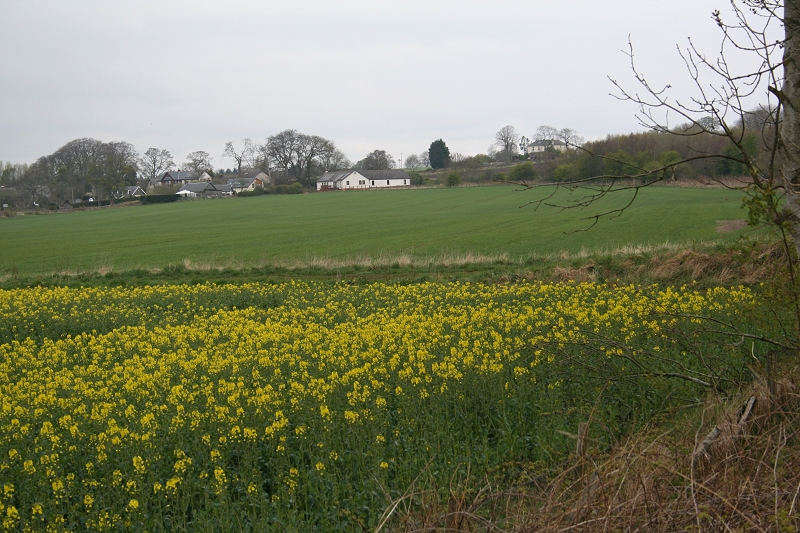
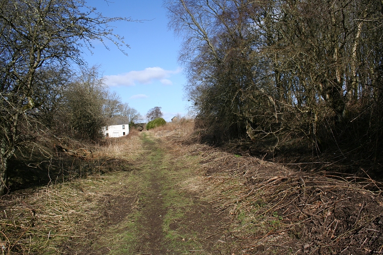
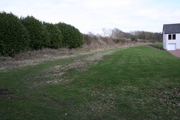
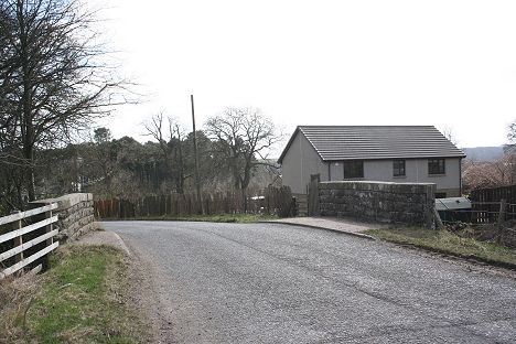
Between Eastfield Hosiepark and Auchterhouse. The newer station is to the right of the white house on the left.
Farm by Dronley Wood (Eastfield Hosiepark). Looking north-east.

Eastfield Hosiepark towards Auchterhouse

Looking south by Eastfield Hosiepark

South of Auchterhouse, looking west
The train driver's view on sighting Auchterhouse station. The white house stands on ex Goods siding.
Left: Ex gatepost south of Auchterhouse station site. Right: Looking south towards Eastfield Hosiepark
Left: Looking south towards Eastfield Hosiepark. Right: Ex farm crossing gate, south end of Auchterhouse station.
An interesting gate in that it appears to block off the main running line. Was this a controlled crossing?
(17th April 2014).
On my visit In April 2013 I found that a ditch had been dug out on the east side of the track bed, up to the station site, which I gather
is to drain the ground and make it dryer for walkers and cyclists etc. After heavy rain two days before, the ground was very wet
and bogie along this length.

You can see the drain is doing it's job already.

The drain stops short of the old Up platform.


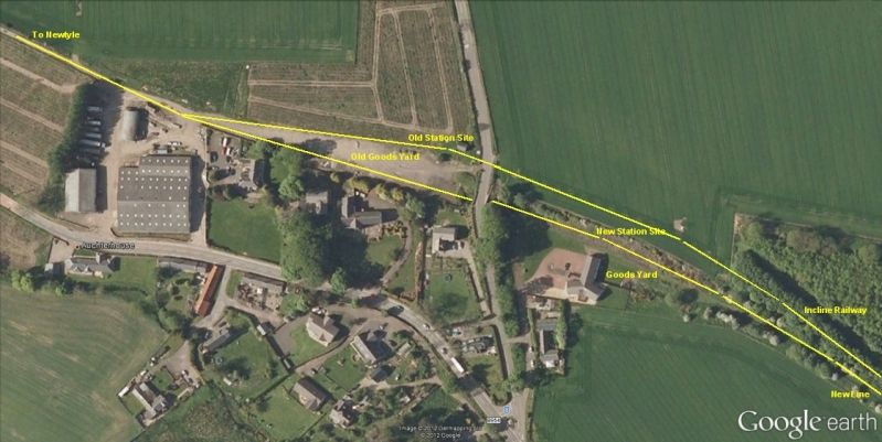
Auchterhouse Station sites from Google Earth.

Walking into Auchterhouse station site.

The down station platform edge is still showing through. The Up platform was to the left, with the track bed being back-filled
between them. The dip by the tree on the right is where the goods line ran back from the points on the main line.
Left: The track bed between the platforms is well backfilled. This is approximately where the footbridge linked the two platforms.
Right: Overall view of Auchterhouse (new) station. Looking south. The house is built on the Goods siding.
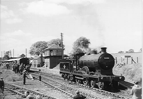
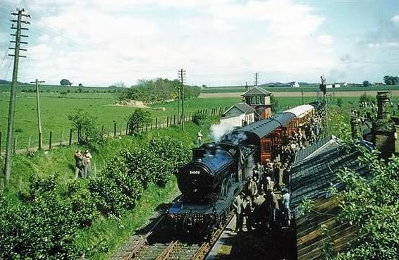
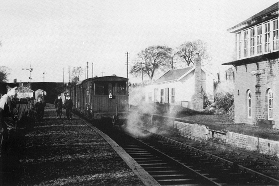
Auchterhouse (New) station in the 50's. The building seen above and behind the coach
is that of the old station site.


Left: From a slightly different angle, and in colour. The goods siding is more prominent and has a box van stabled in it. The station buildings are at the end of the down platform,
as is the starting signal. In combination with the photo above it would appear that these trains terminated here and the loco's run round to head back to Dundee.
Right: Not quite from the same angle on the 17th April 2010 but recognizable as such.
Left: From the same spot but with, obviously, a clearer view and slightly more to the left. Note the goods sidings on the right. (Norris Forrest)
Right: Another enthusiast's tour and in fine weather. I really appreciated seeing this scene in such colourful conditions. However, vegetation is already taking over and closure isn't far away.
You can clearly see the stubble of the old line to the left of the signal box. (Syd Boag)
Left: Auchterhouse station in the 60's. The remains of the incline railway can be seen in the tree line on the left. (Elliot Simpson)
Right: Auchterhouse (new) Station site as seen from the bridge. Compare this April 2010 image with the photograph to the left and above right.
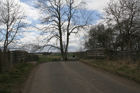
Left: Auchterhouse railway bridge, with the new line running northwards then past the old station site, which is to the right on the north side of the bridge.
The down platform ran right up to the bridge. (Norris Forrest). Right: Close to the same spot on the 9th June 2010. You ca still make out the curve of where the
platform ran up to the bridge. You can also see how much the ground beyond the bridge has
been back-filled.
The bridge from the remains of the down platform is recognizd by the sweeping curve of the platform edge, which ended at the bridge.
(David Martin. Feb. 2010)
Remains of the down platform, with goods yard on the left.

Left: Up platform remains, with incline track bed behind. Right: End stub of the old incline track bed. From the 'newer' station platform. (17th April 2014).
Left: Remains of the signal box on the Up platform. Right: The old incline track bed, behind the newer station.
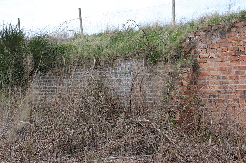

Left: The brick wall on the left was a retaining wall between the waiting room and the signal box. Right: Back wall ofthe signalbox. Also acts as a retaning wall. (17th April 2014)
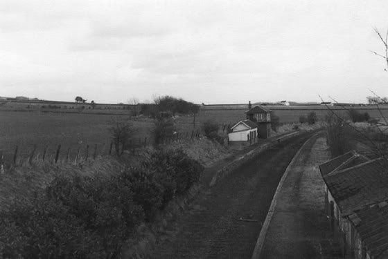
Auchterhouse signal box in 1964. (Author Unknown).
Near the same spot as the photo above.

Looking south along the remains of the down platform. Signal box remains to the left. Swings on
Goods siding site

Left: Road bridge at north end of the station. The station 'Down Platform' buildings were where I am standing. Note the back-filling on the north side of the bridge. April 2020.
Right: From the Goods Yard, looking south to the newer station site. Note the depth of back-fill. April 2010.

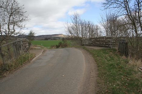
Left: The partly backfilled over bridge in the 70's. Right: Auchterhouse Railway Bridge (Looking north). 17th. April 2014. Had a bit of a tidying up and the draining done.
The Down platform (left ended at the entrance. Where I am standing would have been the platform waiting room.
Left: North side. Remains of old station platform by the hut. Right: The south side, with station site below.

With the new line and station to the right the Incline track bed can be seen at the end of the trees to the left as it came
in from Balbeuchley Top. The older track bed came directly towards the camera and into the old station on the
opposite side of the road behind me.
Left: Another view of the over bridge. Looking west. Right: The northern parapet, looking over the old Goods yard.
Left: The old station platform is over by the brick building on the left, while you can see the top of the over bridge on the right, where the new line comes in from the new station.
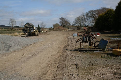
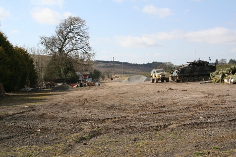
It is obvious that the new line was in a cutting as you can see the amount of backfill that has occurred here. An Army Tank is stored in the old Goods siding and members
of the public can pay for lessons on driving a Tank.

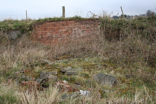
The old station site. It was used as a goods yard from the incline closure around 1861 and closed in the early 60's.
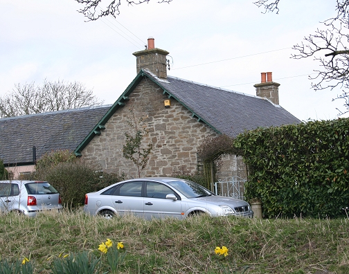
Ex Stationmaster's House. It was a police station for some years.
Entrance to the new station, which was behind the houses on the right. The track bed coming in from the south is seen on the
extreme right. It was just beyond this point where the incline track bed met the new line. The center road above leads up to the
over bridge by the old station. The main B954 road north is on the far left. There is an hourly bus between Dundee and Blairgowrie.
======================================================================================
AUCHTERHOUSE TO NEWTYLE (New Route)
Links & Reading:
The Dundee & Newtyle Railway by Niall Ferguson. Still available from some books shops and on the Internet.
The Dundee & Newtyle (A history by Elliot Simpson)
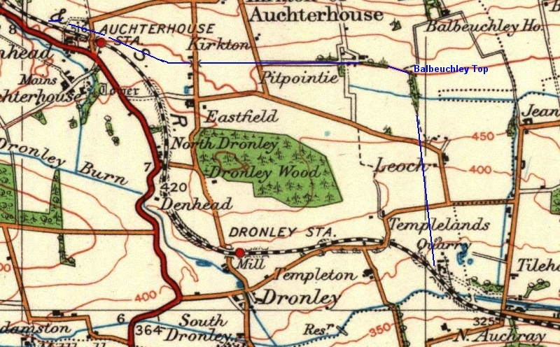
http://www.auchterhouse.com/history/railway.htm (Includes and excellent map of the railway)
http://www.geograph.org.uk/search.php?i=7762615 Excellent 'remains' photos including the Law Tunnel, Balbeuchley Incline and Dronley
http://www.hows.org.uk/personal/rail/incline/dund.htm Explains the inclines but sketches are very poor quality and almost useless.
Video Screen grabs from the The Railways Of Scotland Volume 8 "Dundee". An excellent video available on DVD, from Cinerail at: http://www.cinerail.com/cinerail/railways-of-scotland.html There are many great archive scenes of almost every Scottish
route you can think of. Well worth a look.The Cromford & High Peak Incline railway in Derbyshire has been luckier in having much of it's buildings, including an Engine House preserved. This is what could have happened, indeed, should have happened with at least one of the D&N inclines.
However, the C&H gives an excellent comparison of what the D&N would have looked like.http://www.hows.org.uk/personal/rail/incline/hop.htm
Boddam To Ellon Branch (Walks) By Bill Reid.
Hosted by www.theatreorgans.com