Back to D&N Index
ORIGINAL D&N INCLINE FROM WARD ROAD STATION
TO LAW TUNNEL
(Update Aug. 2015) (Update Sept. 2020)
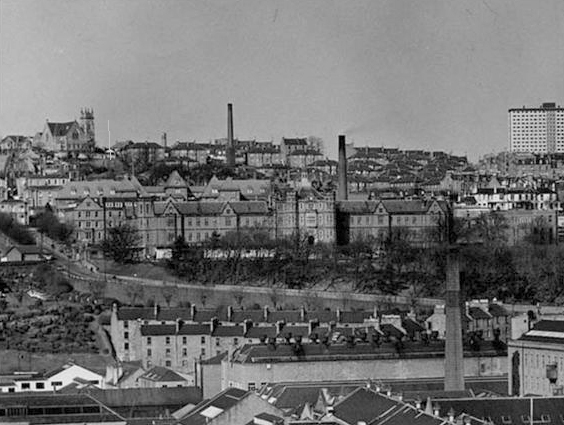
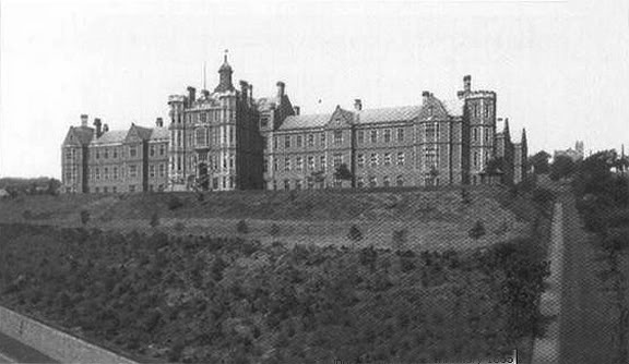
A large BT Buildings stands on This Site Today. There is little or no sign of the railway at this site. You can see the incline climbing
high above and passing the old infirmary. You can also see the engine house chimney on the south side of Kinghorn Road.
The summit of the Law hill is bare as the present War Memorial was built to dedicate those who fell in WW1 then later
in WW2. This photo truly represents a different time in U.K. history. From Ward Road went via North Lyndsey Street,
across Gyer's Gate and Nether Gate then through company property onto Yeaman's Shore, past Union Street and
turning into the front of West Dock Street and a number of loading spurs.
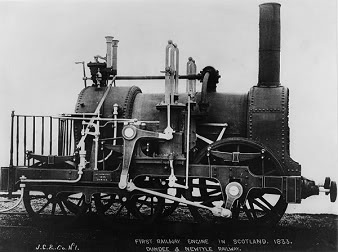
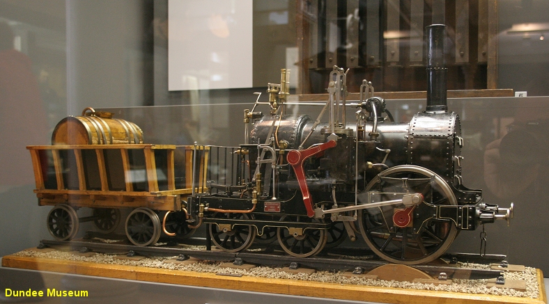
Being the first railway north of the Tay the D&N obviously had the first steam loco to be used in the area in 1833.
A model of this loco can be seen at the newly reopened Dundee Museum. Along with a model of the type of Static
Steam engine used for the three inclines. There is also a model showing the track layout at Cox's linen mill at Lochee.
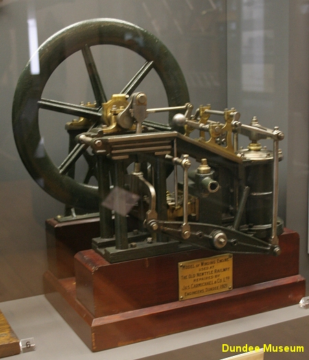
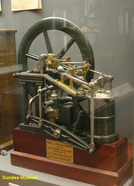
A static steam engine as used on the D&N Inclines
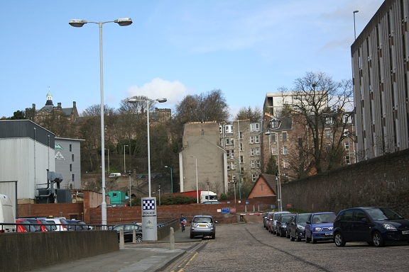
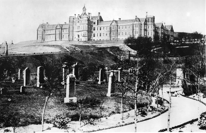
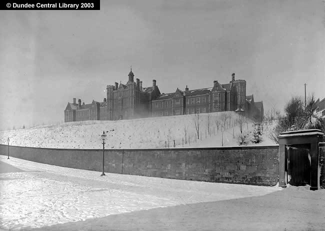
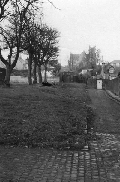
An interesting wide view. You can actually see the southern tunnel mouth site, just below the high kirk.
I have placed a vertical line at the spot. Follow a line diagonally from the tunnel down past the right hand
side of the old infirmary and this gives an indication of the incline from Ward Road. (Author Unknown)
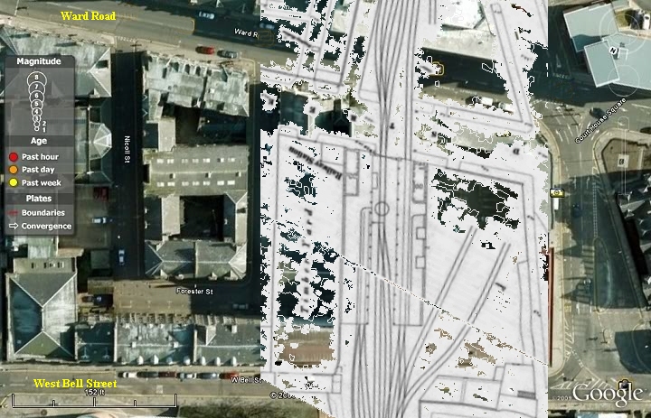
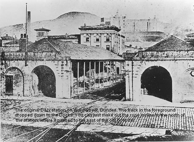
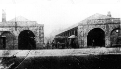
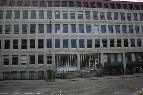
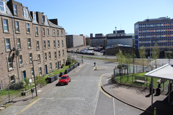
Ward Road Station. The long building right of center is the BT building , which stands on the station site. The track crossed over
West Bell Street (Bottom) and into the Goods side of the station
Same view turned 180 degrees. This gives a good idea of how the station was laid out and the track work crossing Ward Road into
the sidings where street running to the Docks..
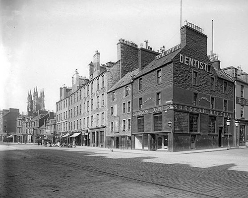
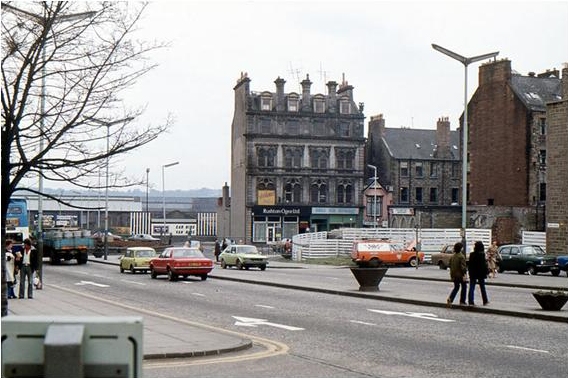
Lindsey Street, showing D&N street running too & from the Docks
The incline from Ward Road Station up to the old infirmary site. First crossing West Bell Street
then the Marketgait and up to Barrack Road and past the old Infirmary
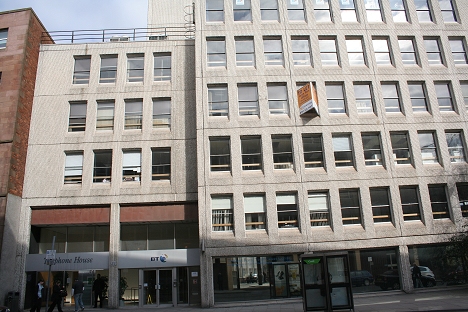
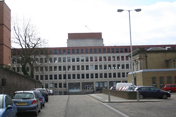
Left: The BT building stands on the Ward Road Station site. Right: The track to the Docks crossed the road and through the site of this large modern building.
The modern red brick building replaced Ward Street Station. As the photo above left shows, not
only has that building gone but also the fine looking building to it's left. (Author Unknown)
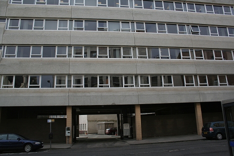
Left: W Bell Street Looking north towards Marketgait. Up ahead you can see the tenement that took the place of the embankment. Right: South
side of West Bell Street. The way is blocked by the north side of the BT building.
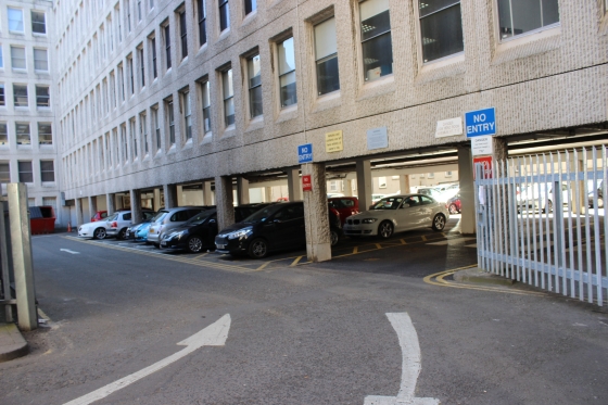
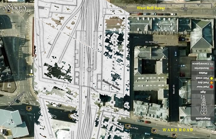
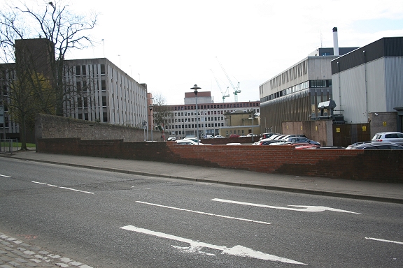
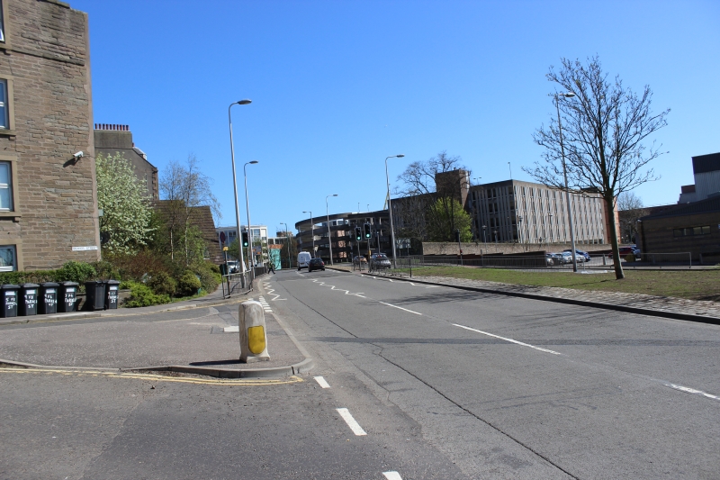
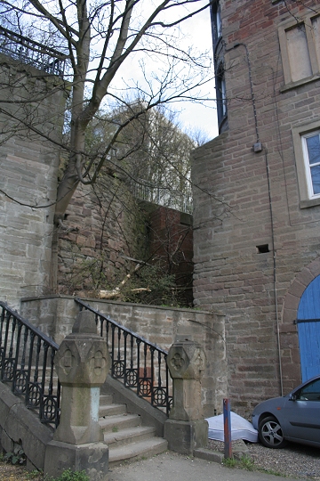
Left: Update May 2014. Taken within the site of the old station. Now a car park for the BT staff. (April 2014) Right: This side street doesn't appear to have a name although the police station has an entrance on the
right. The stone wall on the left shows the railway perameter. The track widened from the station
at this point, into a few sidings, while the incline track ran northwards to Barrack Street.
Railway layout between Ward Street station and the old Infimry.
Left: Northwards the line of sight is where the embankment climbed up to Barrack Street. The gable end of the tenement on Parker Street replaced the embankment. Above left is the Old Infirmary.
Right: Direct line of site from Marketgait to West Bell Street. Approximately at the point where the station sidings and running lines became a single track towards the Law tunnel. The stone
walls either side show the width of the railway at this point.
Left: Looking north from Marketgait. The line of site of the embankment where it climbed up to and over Barrack Street. Leburn Street is to
the right behind the trees. Right: The flats follow the line of the embankment down over the Marketgait and into the site of the station. (May 2014).
Left: It's difficult to picture the railway incline running down where this tenement block o the left, stands today. Right: The Marketgait with Parker Street on the right, with the four storie
tenement end being obvious. This is where the embankment ascended from Ward Road station to Barrack Street. The The five storie building on the opposite side of Parker street and all the building
down that side have all gone. Also interesting is the very small house between the two buildings. That whole side of Parker Street has been demolished. (Author Unknown)
Marketgait. As you will see in the old B&W photo below the tenement block on Parker Street has replaced the embankment
from Barrack Street and running diagonally across this scene into the goods building in West Bell Street then into
Ward Road Station. (April 2014).
Parker Street and the steps up onto Barrack Street. The railway embankment was on the right.
Left: By the steps up from Parker Street to Barrack Street you can see the remains of the base of the bridge that went over Barrack Street
Left: Site of incline leading up to the southern tunnel portal. Right. Opposite side of Barrack Street where the incline dropped down to the
Marketgait and onto Ward Road. This is the tall tenement building seen below in Parker Street and which replaced the railway embankment.
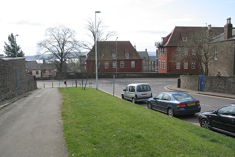
This is an interesting photo in that it is taken from the old cemetery, which is where Marketgait roundabout is today.
The large tenement in Parker Street stands at the top of the embankment at the south side of Barrack Street over
bridge. The cemetery is where Laburn Street and Crescent Road are today. You are actually seeing the
embankment on the far left, as it went over the Marketgait. The embankment has been replaced with a line
of tenements on Parker Street. The photographer would have been standing approximately where St. Mary
Madalene church is today. (D. C. Thomson)
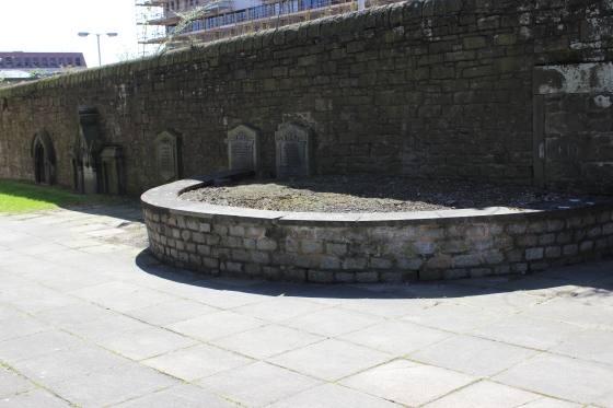
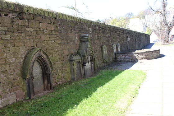
All that remains of the old grave yard. (April 2014). The railway was on the opposite side of the wall. Right: You can see the tenement on Parker Street that was the incline embankment.
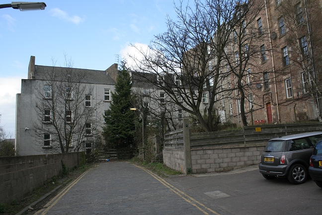
This is probably as close as you will get to the old view above. There is a wall of buildings on Crescent Road that blocks
the view northwards completely. Behind these is Laburn Street. You are a bit too close but the tenement directly ahead is
where the embankment was and you would have been standing within the old cemetery. The buildings on the right block
the view of the embankment going over Barrack Street and up past the old Infirmary.
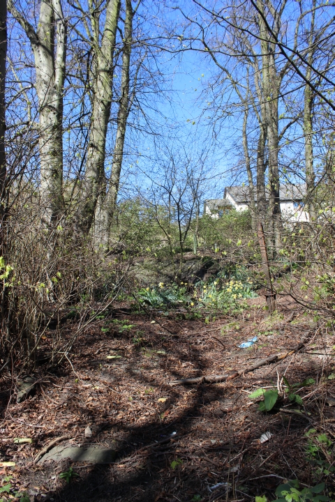
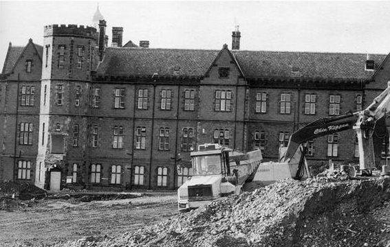
The Barrack Street tunnel, with the incline going up the eastern side of the old Infirmary, in a cutting. This photo would have
been taken after the incline closure and Barrack Road being re-leveled and cleared. See photo below.
This photo was taken in 1869 soon after the Law Hill Incline had been closed after the divergence from
Ninewells Jctn. to Muirfield Jctn. was opened. and shows a clean track bed up to the tunnel mouth
at Kinghorn Road. (Author Unknown)
Left: The incline over Barrack Street. Now & Then. The road had been lowered to go under the railway but was returned to it's original height after the
railway closed. This is now a wide roadway with the wall and gateway into the old infirmary also demolished, making a sweeping curved clear-way.
(Left: The Niall Ferguson Collection. Right: April 2020 view. (By Bill Reid).
Update April 2014.
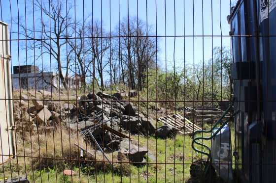
On this walk I managed to get into the site of the track bed on the north side of Barrack Road and up to the old infirmary. It is heavily back-filled and overgrown but you can see the top edge
of the stone wall reinforcements
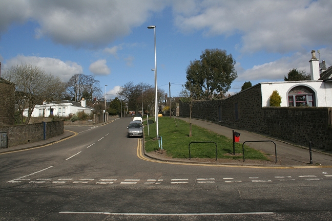
Left: Looking south down to Barrack Street. (Closed Dundee College on the left). Right: From the same spot looking northwards towards the Somerfield Place over bridge.
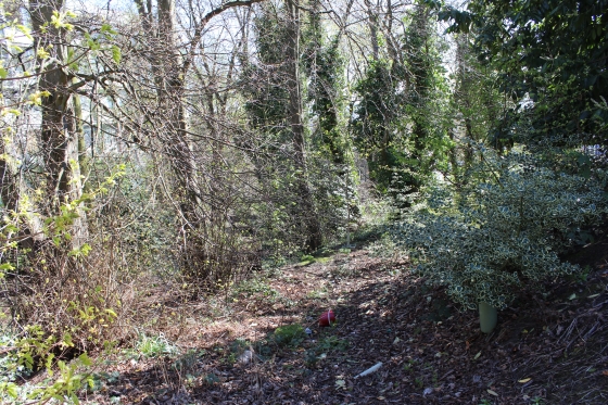
The cutting. Left: Southwards. Right: Northwards. Now back-filled.

Left: Towards the Law Right: towards Barrack Street. The retaining wall on the left, with the higher retaining wall built for the Dundee College building.
Looking onto Barrack Street where the over bridge stood. Right: Top of the retaining wall of the cutting.
The stone and studded top of the retaining wall.
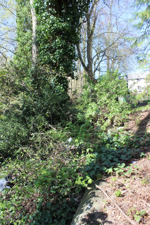
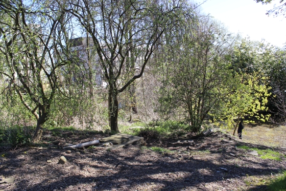
The back-filled cutting towards the old infirmary.
================================================================
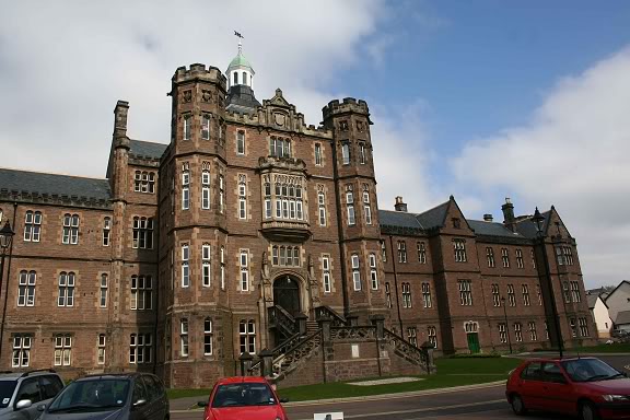
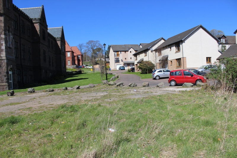
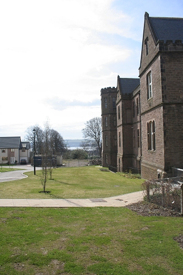
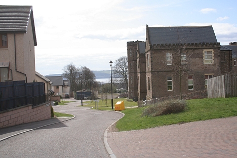
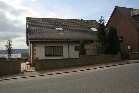
The old infirmary in 2009. Now flats. The incline was on the far right side of the building
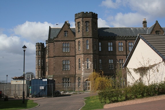
Left: The cutting is well filled in. This is where the incline climbed up from Barrack Street and past the old Infirmary Right: From a new side road off Constitution Road, a side view of where the incline came up from
Barrack Street, climbing past the eastern side of the old Infirmary.
Almost the same spot. A short section of the top of what was the deep cutting passing the old Infirmary
can just be made out on the left. A good comparison with the 2010 photo above. (Author Unknown)
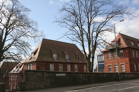
Looking south from the old Infirmary on the incline from Somerville Place to Barrack street.
The deep cutting from Barrack Street to Kinghorn Road. The bridge seen here is that over Somerville Place
(Trustees of the late J. F. McEwan)
Left: This is roughly where the photo above was taken looking towards the bridge over Somerville Place.
Right: The top of the bridge seen in photo above.
From the site of Somerville Place bridge (South side). Looking
down what would have been the deep cutting from Barrack Street.
The site of Somerville Place over bridge (South side) as the incline came up through the deep cutting from
Barrack Street.
. Right: North side of Somerville Place. The Green strip is the line of site of the cutting running up Drummond Street.
Left: Looking up Drummond Street. Right: Looking down Drummond Street to Somerville Place
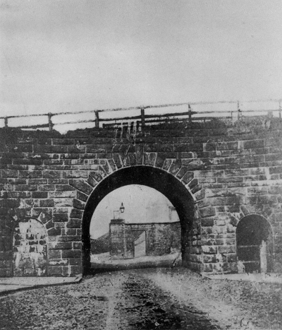
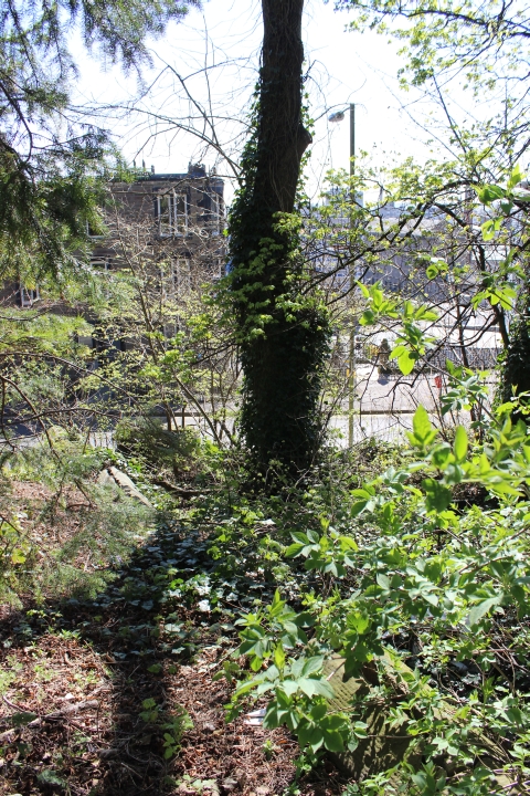
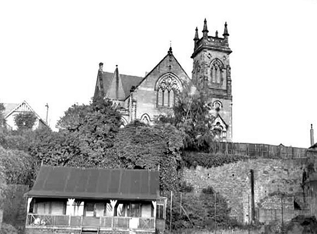
Upper Constitution Street in the 1960's, with the arch that led into the Engine House, Tunnel and Sidings at Kinghorn Road. (Elliot Simpson)
Right: April 2010 view of the Arch site.
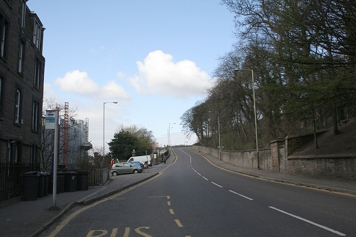
After 140 odd years since it's closure it is hard to believe that this is the same spot as the 1960's photo above, left!
However, the staggered wall on Drummond Street and the houses on the right with the bay windows show this to be
correct. The archway that went into the deep cutting leading up to the Law Tunnel entrance was immediately in front
of the tree in the foreground and is a gateway into some private property. Likewise, these two trees are seen in the old
picture too. The church on Kinghorn Road is just visible through the trees.
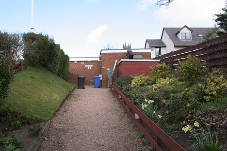
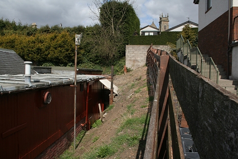
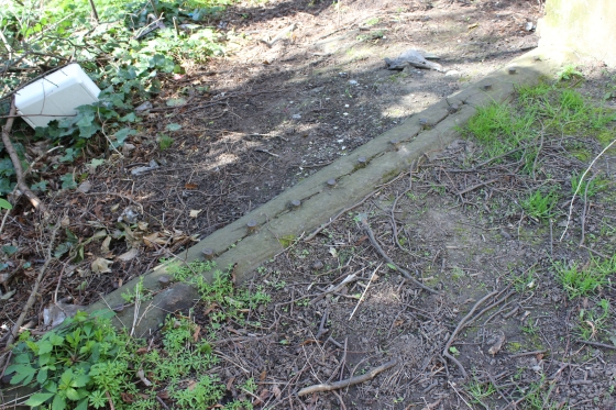
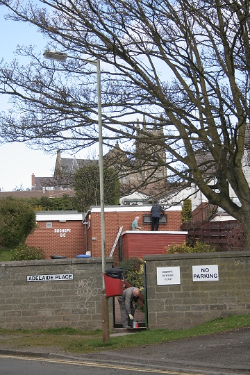
The Dudhope Bowling Club premises stands in the cutting. Right: Where the track bed widened, leading up to the sidings, Engine House and tunnel. The original railway
stone dyke remains on the right.
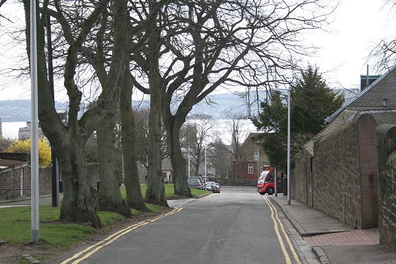
Looking down Drummond Street with the river Tay and the hills of Fife in the background.
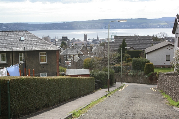
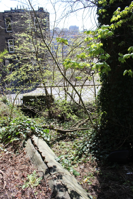
Upper Constitution Street. The tunnel mouth was behind the wall on the right. This view gives an excellent
illustration of the steepness of the Law Incline as it came up from Ward Road to the Tunnel.
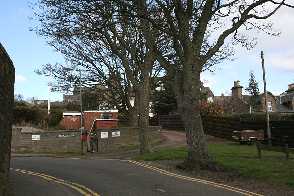
Left: The site of the Law tunnel sidings from Upper Constitution Street. The Bowling Club premises is just behind the house on the right. Right: North view. You can just make out
a section of the railway dry-stone wall in front of the bungalow on the far left. This and the remaining stone wall on the far right gives the width of the railway sidings site.
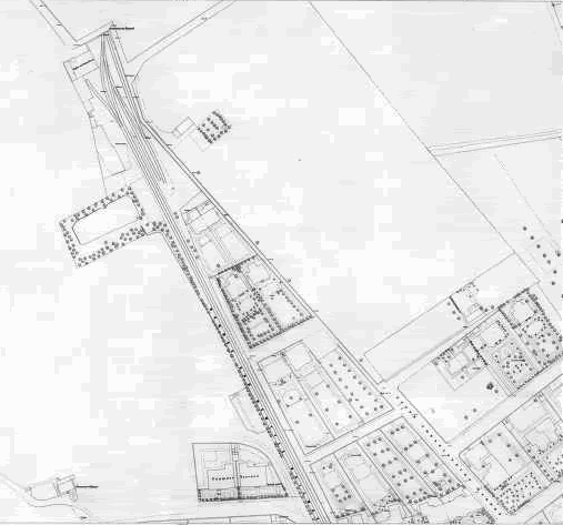
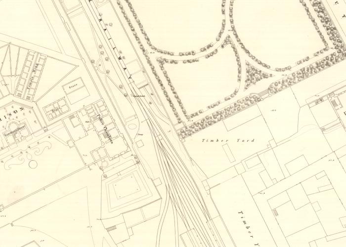
Map showing the incline from the old Infirmary to the Tunnel mouth at Kinghorn Road,
showing the sidings that were in that immediate area.
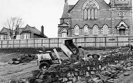
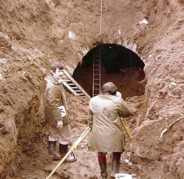
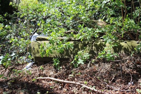
Work in progress on filling in the southern end of the Tunnel mouth by Kinghorn Road. (Elliot Simpson)
The Law Tunnel southern entrance is clearly seen here and compares with the photo above, proving how much in-fill
has taken place. The lads and the dumper are quite high above the track bed level. The wooden building on the left
stands where the Engine House stood. Also compare the same spot as it is today (below). Author Unknown.
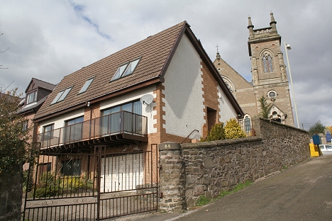
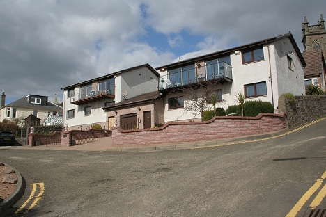
The same spot today. The southern tunnel entrance is below this modern house, which
faces Kinghorn Road. The granite wall seen above has been rebuilt as the back entrance
of the new house.
.jpg)
Added September 2020) An interesting find on Facebook. Could this really be an 1830/31 photo of the
building of the tunnel! Or some remedial work much later. It would be interesting to know. It proves
that the work was quite neat and not a hurried and messy task. (Author unknown).
12th December 2014.
My thanks to Mark Coleman for sending me some photos of the building of his house, on the site of the southern tunnel portal.
(Copyright belongs to Mark).
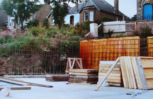
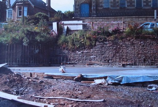
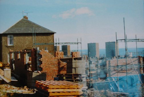
Left The western foundations with the tunnel already covered over. Right: The Concrete retaining walls are in place. Behind the work site is the grounds of the Engine House.
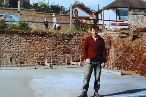
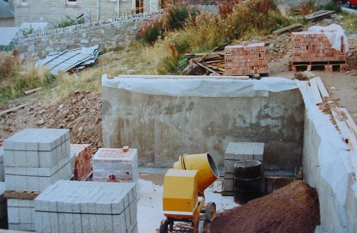
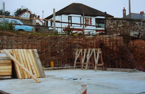
Left: The concrete foundations are well in progress. Right: Mark standing on the house foundations that are just above the tunnel roof.
Left: The house walls start to take shape. Right: The eastern side of the site. The tunnel is just below the wooden trestle.
===================================================================================
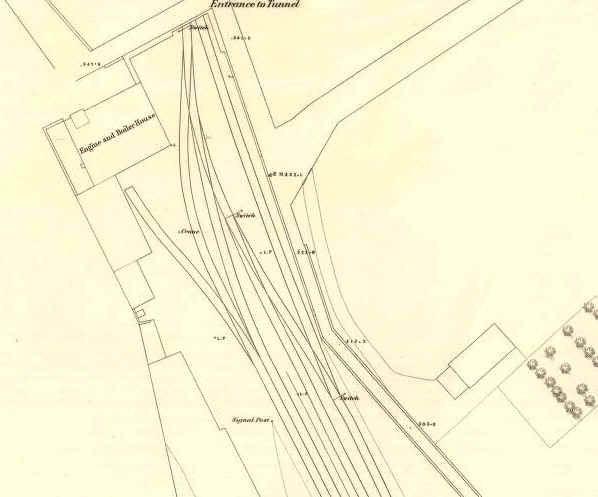
The track & Sidings layout at the Tunnel mouth at Kinghorn Road. The engine & boiler house is also shown,
with the associated siding and point switches. N.B. that the tunnel entrance was at an angle.
Kinghorn Road, south side. Site of the Law Tunnel, which is below the white house. Right: The red brick house stands on the site of the Engine & Boiler House.
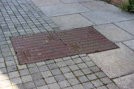
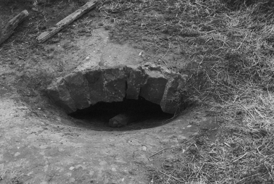
My thanks to Mark for explaining that this is indeed the tunnel hatch and that there is an annual
inspection carried out by the Council. (April 2014).
Left: The entrance to the south portal by Kinghorn Road. This site is now below two modern houses. Right; The Law Tunnel roof.
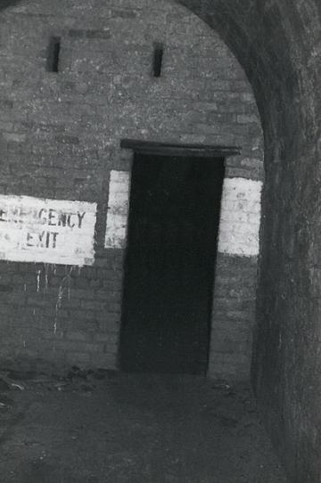
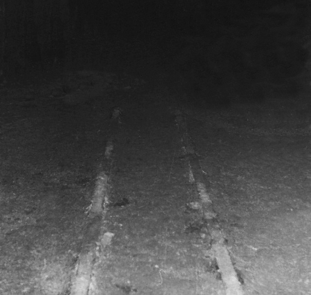
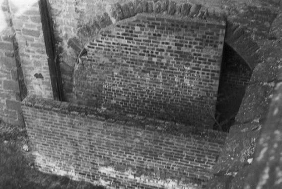
Left: A blast wall inside the tunnel from the time it was used as an air raid shelter. Right: The narrow gauge track is believed to have been used when
Mushrooms were grown in the tunnel. The tunnel was also used for storing dangerous material from Kings Cross hospital.
==============================================================================
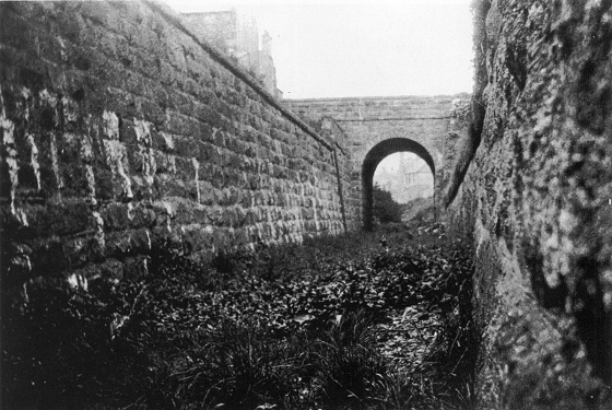
Top of the northern entrance of the tunnel showing through the surface (Photos by Elliot Simpson).

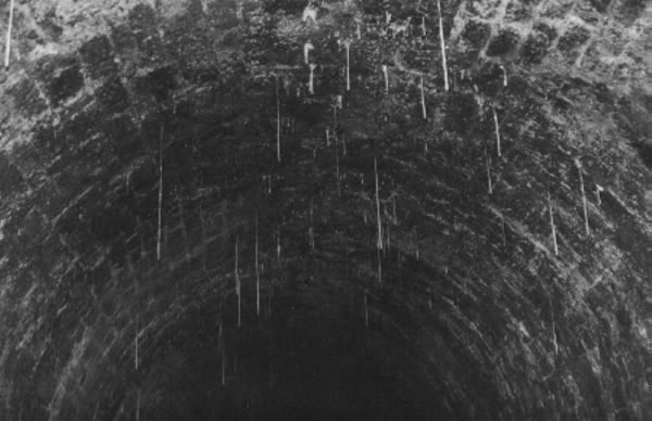
November 2012. A very interesting photo from Elliot Simpson. Taken in May 1981 when the northern portal of the tunnel
was opened for survey for building the new housing scheme at Rockwell Place. It is interesting that the tunnel looks
quite small, having been little more than 10 feet in diameter.
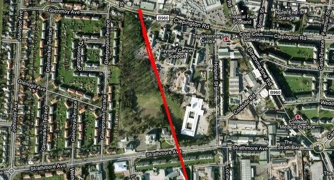
Three sections marked by David Martin, using Google Earth and indicating how the line ran from the tunnel at Kinghorn Road up
to Crossroads station site at Clepington Road. The area heavily marked to the north of the tunnel was the D&N station and loco
shed, called The Back Of The Law, which is where Rockwell Place and Gardens is today.
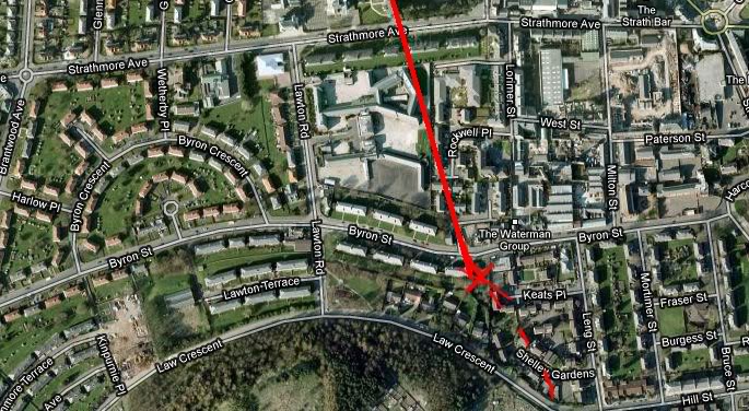
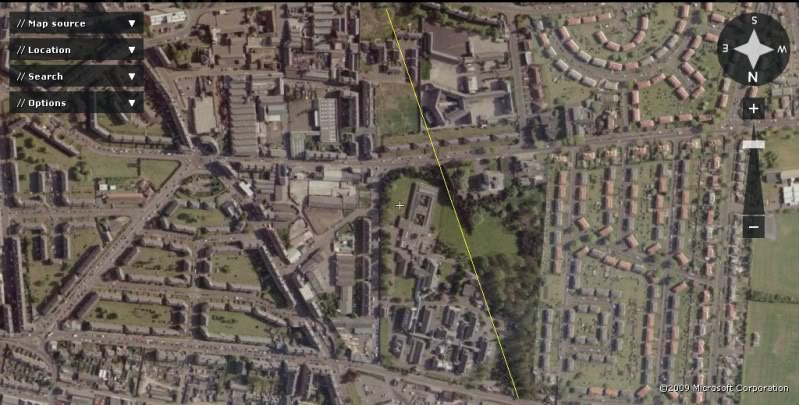
The green area is roughly where the northern entrance to the Law Tunnel and the site of the Back Of The Law (N.B. The circle). This Flash Earth view
was taken just before the site disappeared under the development of Leng Street, Shelly Gardens and Keats Place.
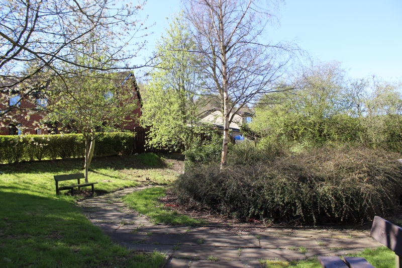
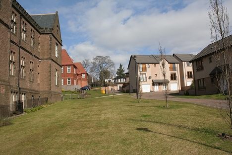
Update April 2014. The site of the northern tunnel portal.
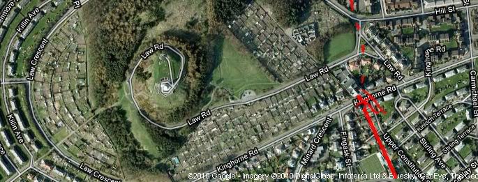
The direct line from the northern mouth of the Law Tunnel (Back Of The Law), crossing Strathmore Road and through the Kings Cross Hospital
grounds and onto to Crossroads Station Site at Clepington Road. The tunnel site is now under a housing estate. (Flash Earth).
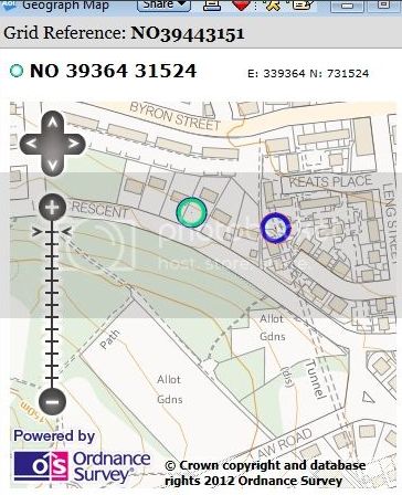
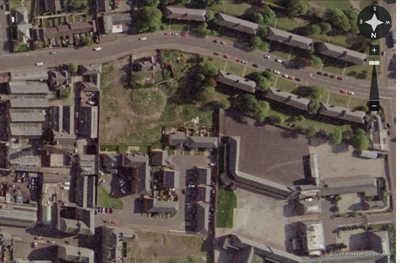
This map gives the best indication where the northern tunnel entrance
was that I have seen so far.
=======================================
TO: LAW TUNNEL TO DOWNFIELD STATION BACK TO D&N INDEX
Links & Reading:
The Dundee & Newtyle Railway by Niall Ferguson. Still available from some books shops and on the Internet.
The Dundee & Newtyle (A history by Elliot Simpson)
http://www.auchterhouse.com/history/railway.htm (Includes and excellent map of the railway)
http://www.geograph.org.uk/search.php?i=7762615 Excellent 'remains' photos including the Law Tunnel, Balbeuchley Incline and Dronley
http://www.hows.org.uk/personal/rail/incline/dund.htm Explains the inclines but sketches are very poor quality and almost useless.
Video Screen grabs from the The Railways Of Scotland Volume 8 "Dundee". An excellent video available on DVD, from Cinerail at: http://www.cinerail.com/cinerail/railways-of-scotland.html There are many great archive scenes
of almost every Scottish route you can think of. Well worth a look.
The Cromford & High Peak Incline railway in Derbyshire has been luckier in having much of it's buildings, including an Engine House preserved. This is what could have happened, indeed, should have happened with at least
one of the D&N inclines. However, the C&H gives an excellent comparison of what the D&N would have looked like.
http://www.hows.org.uk/personal/rail/incline/hop.htm
Boddam To Ellon Branch (Walks) By Bill Reid.
Hosted by www.theatreorgans.com
BACK TO HOME PAGE
This page brought to you by:
VintageHammond.Com - We Buy-Sell-Trade Vintage Hammond Organs and Roll or Kari Organ/Vending Machine Moving Dollies Order Roll or Kari Dollies Here