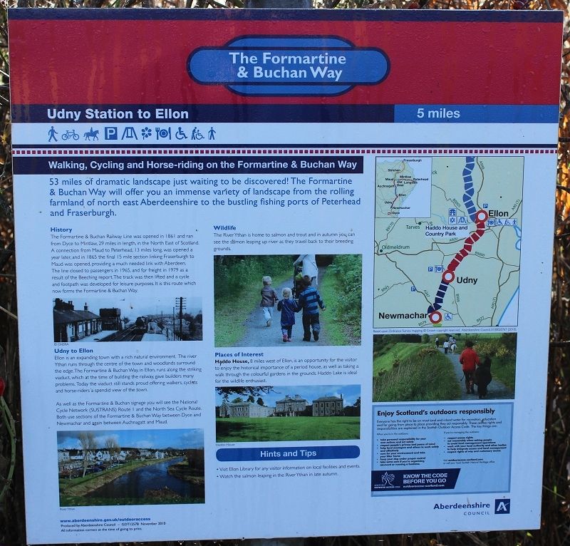
Back To Index
ELLON TO DYCE RLWY WALKS
(30th Sept 2014)
ELLON TO LOGIEREIVE
An interesting point for me doing this walk is that it was 50 years to the month since I last worked over the route as a secondan when at Kittybrewster Depot and it
was interesting seeing the places and countryside from the track bed after all these years. Very sad, of course but it has since been reported that there is every
possibility of the line from Dyce to Ellon being reopened once again in the near future. That I would love to see. From my walk I could see that this wouldn't be a
very difficult line to rebuld as it mainly road bridges that require replaceing and not a difficult job to do these days. One difficult point is to the north of Dyce where
the bridge over the river has been demolished and replaced with a footbridge but again, not an impossible task. The track bed is in reasonable condition,
although I couldn't see the state of some culverts, which may require some strengthening or replacement.
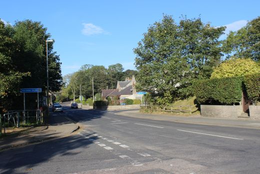
For this walk on the 30th Septmeber 2014 I took the bus to Ellon, first stopping by a shop to get enough refreshments for the day ahead, then walk to the old station
site down Station Road and started my walk along the track bed at 09.40. It had the makings of a very bright, sunny day.
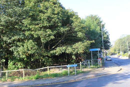
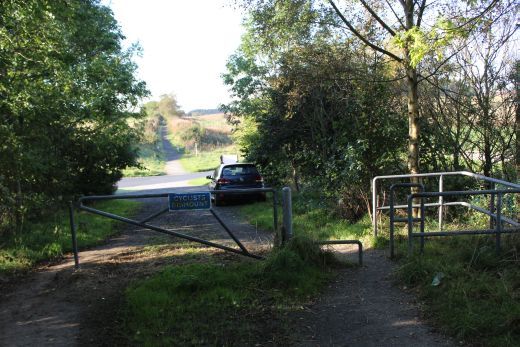
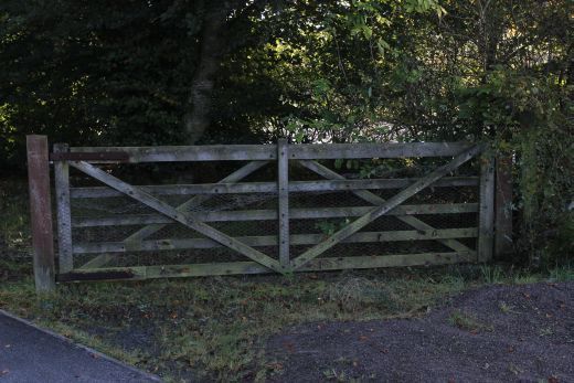
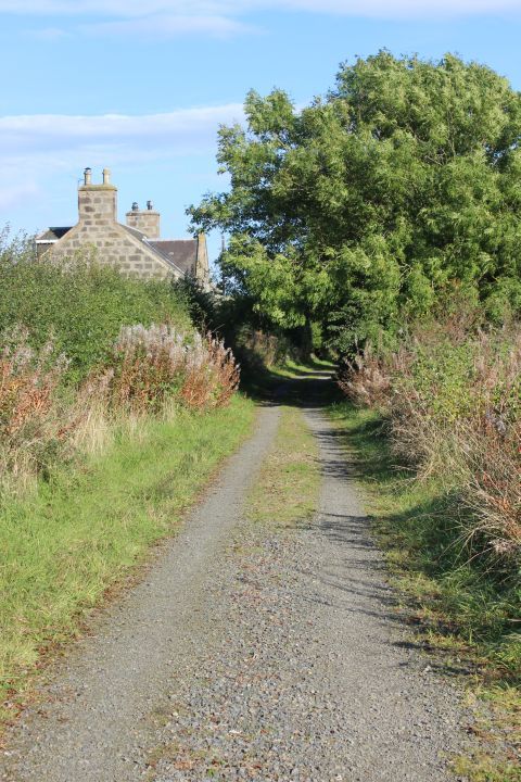
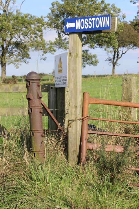
Station Road Ellon where a bridge spanned the road. The station was on the right (north side) of the bridge. My walk started on the south side where a marked sign leads up to the track bed.
Fom the missing bridge at South end of Ellon station site. First north towards Station Road then south towards the viaduct and Dyce.
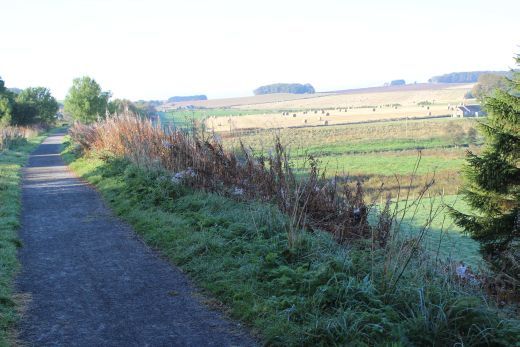
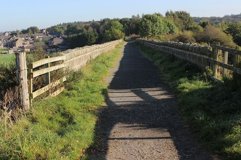
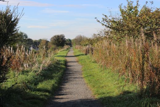
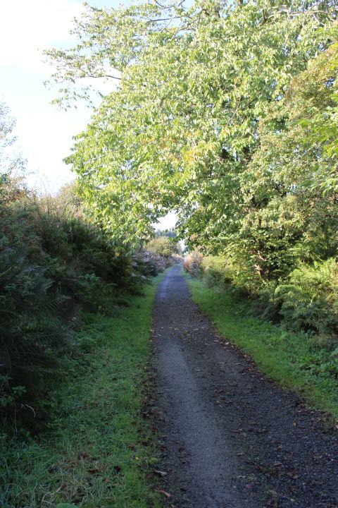
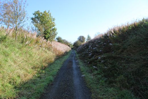
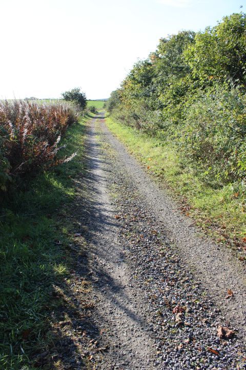
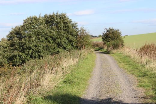
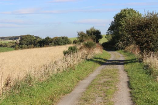
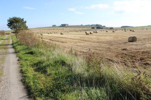
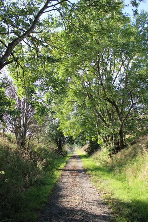
Left: Southwards with the open coutryside on th west side of the track bed. Right: Northwards with west Ellon left of centre.
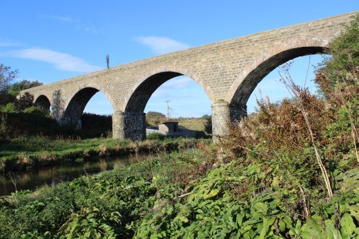
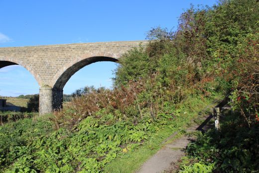
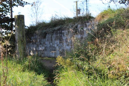
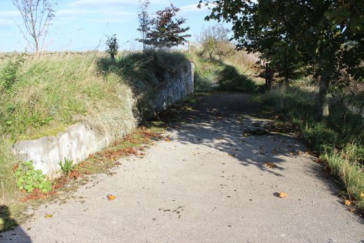
Ellon Viaduct (East side) looking westwards over the River Ythan.
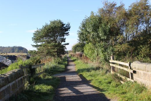
Left: The path that leds too and from the track bed. Right: View westwards from the north end of the viaduct.
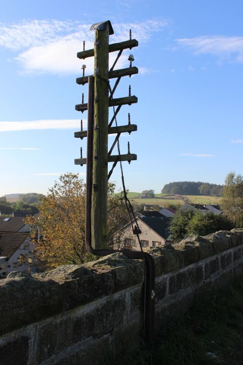
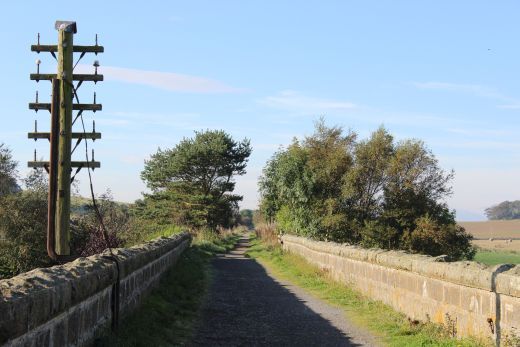
Left: Remains of a mile post. Ellon station was 13 and a quarter miles from Dyce so this would have been the 13 mile post. Right: Telegraph pole with multi line fittings.
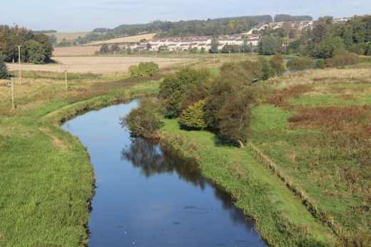
Left: Towards Dyce. Right: View westwards over the viaduct and the River Ythan, towards West Ellon. (Pronounced "Eye-Than").
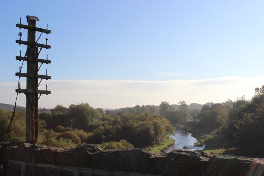
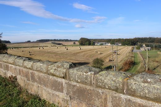
Left: Atmospheric Spring morning misty view, eastwards from the viaduct with the river Ythan wandering it's way to the coast at Newburgh.
Right: Looking along the viaduct towards Ellon.
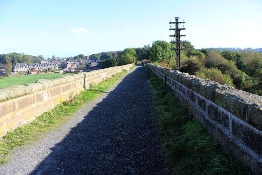
Left: Northwards towards Ellon. Right: View westwards over the viaduct and south of the river.
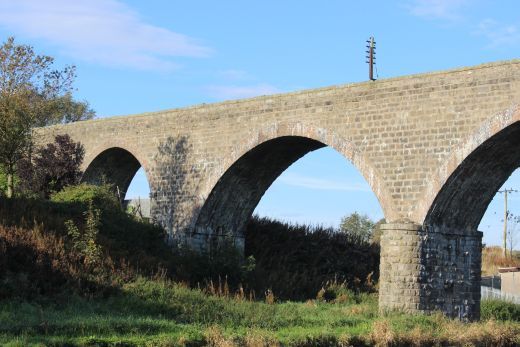
Left: Wide angle view along the whole length of the viaduct, towards Ellon.
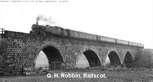
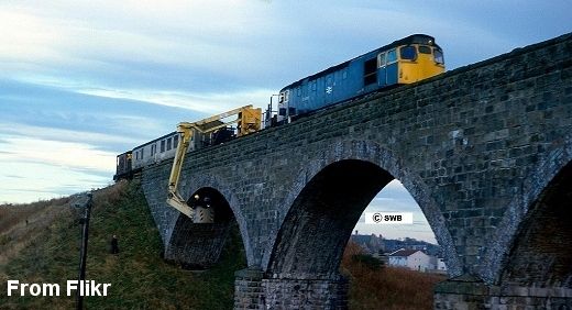
Left: Steam passenger train on the viaduct. (GNSRS Photo). Right: Viaduct Inspection in the 70's. From Flickr.
The viaduct had only three arches when built but due to ground displacement at the south end a fourth arch was built.
South end of the viaduct lookng oth towards Dyce. Right: View from the south end of the viaduct towards Dyce.
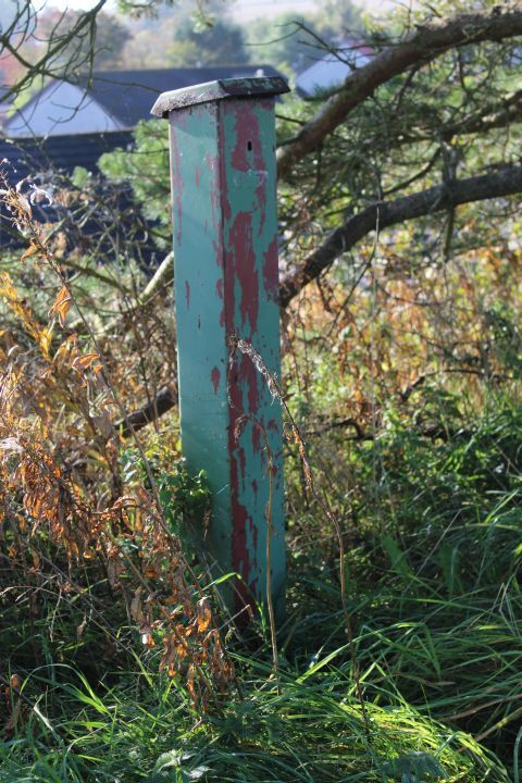
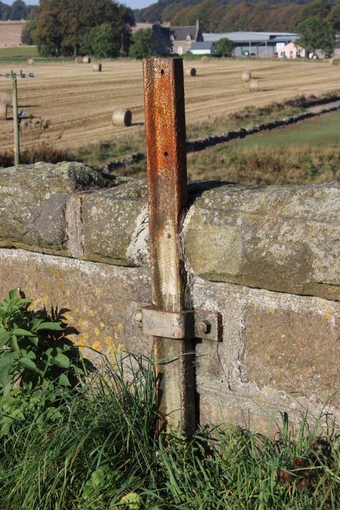
Unusual metal post. Not sure what this was use for.
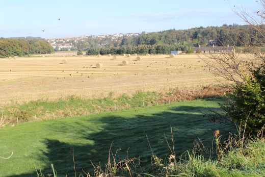
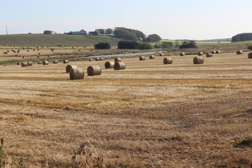
Views south and westwards approaching South Ellon.
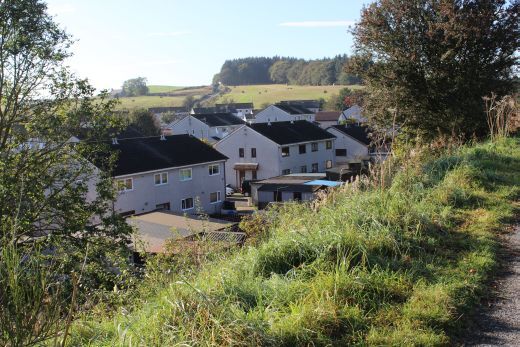
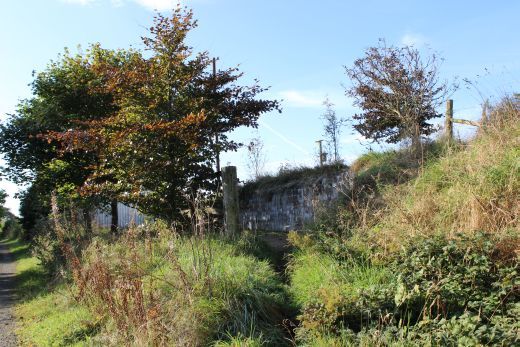
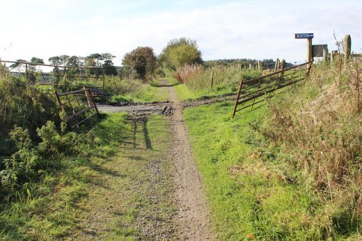
Left: New housing estate at the south end of the viaduct. Right: Demolished over bridge site at Ellon South.
Demolished over bridge at South Ellon. Riverdrive Road.
Left: Towards Dyce. Right: Towards Ellon.
Demolished over bridge at South Ellon. Riverside Road. Towards Ellon.
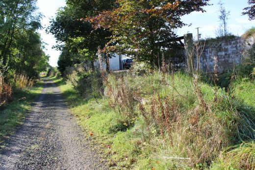
Looking across Riverside Road with the track bed continuing south towards Esslemont.
Looking northwards across Riverside Road towards Ellon.
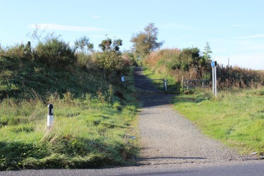
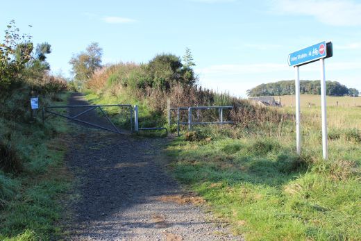
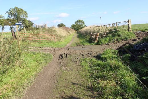
Route Guide at Riverside Road.
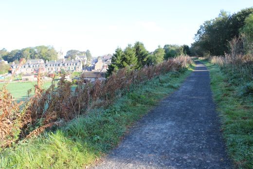
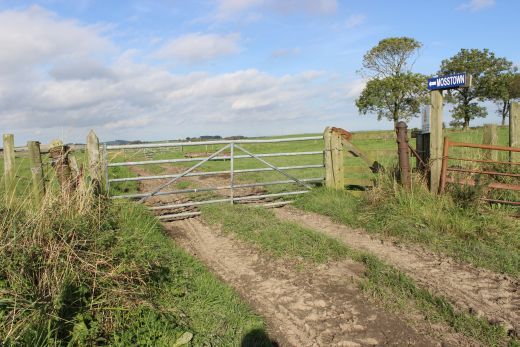
Farm on the west side of the track bed. Right: Looking back towards Ellon.
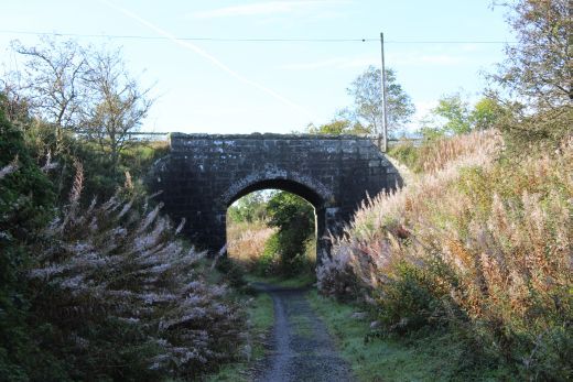
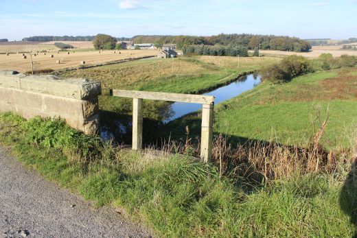
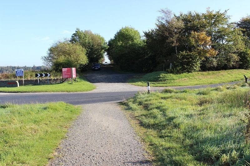
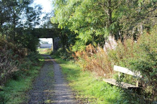
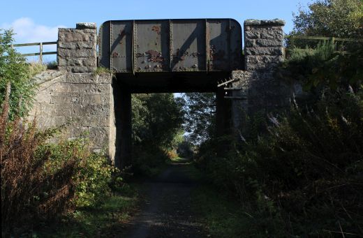
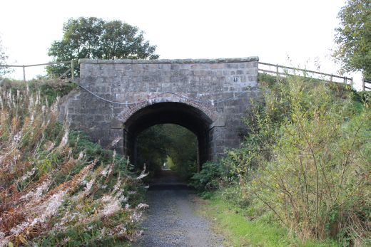
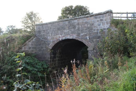
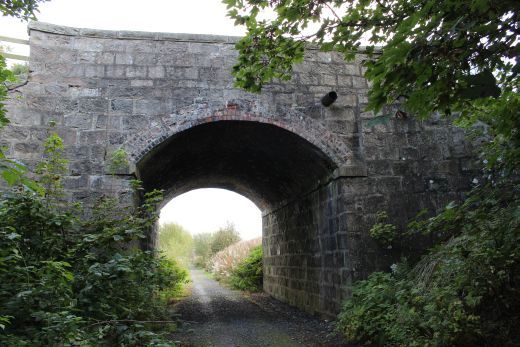
Approaching the road bridge over the A920 (Southwards).
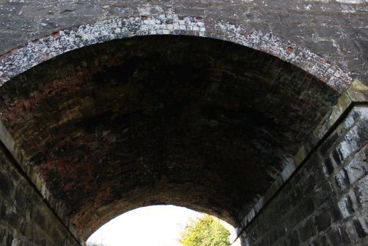
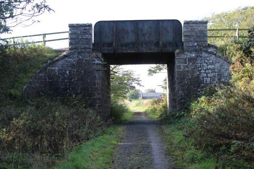
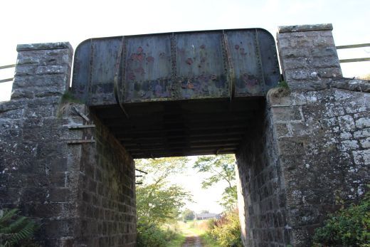
This bridge is on the A920 approx. half a mile east of Esslemont village. Looking southwards.
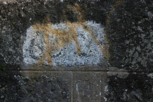
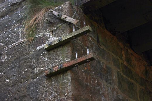
Bridge identification number.
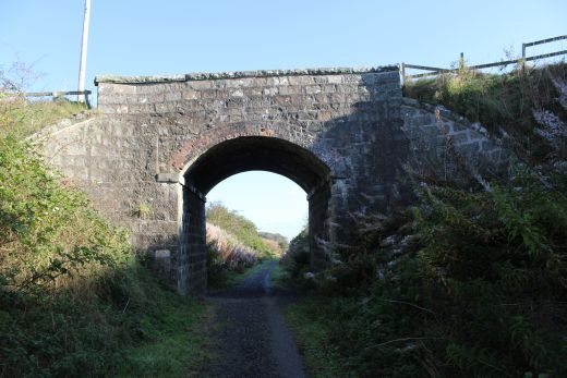
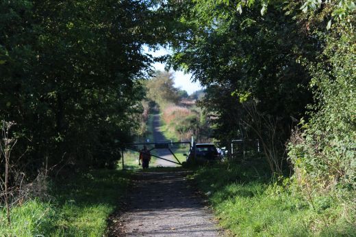
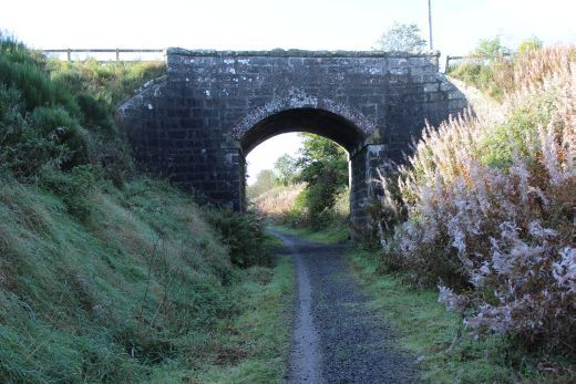
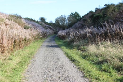
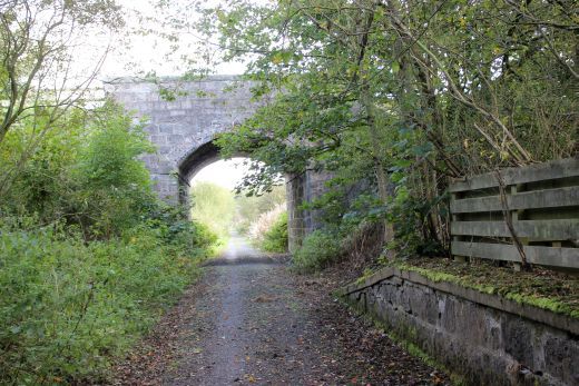
Left: Cycling towards Esslemont. Right: North side of the bridge. Southwards toward Ellon.
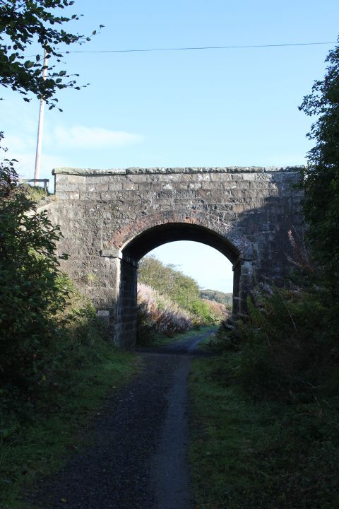
Left: North side of the bridge, towards Ellon. Right: From the south side of the bridge, towards Dyce.
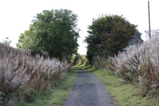
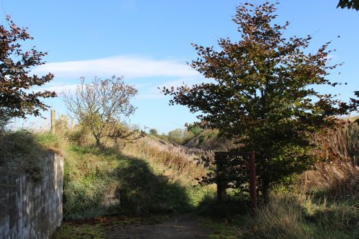
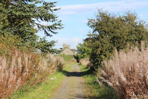
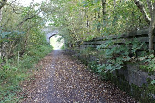
Left: Towards Dyce. Approaching Esslemont station site. Right: Same spot. Back towards Ellon.
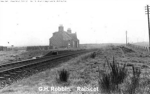
Esslemont Station. I had one trip as a secondsman where we had to shunt this yard. The points were operated by the
guard using a key attached to the single line token. (NSLMaps). 11 and a half miles from Dyce.
North end of the Down platform looking south.
Ditto.
North end of the platform. Remains of a metal station sign post.
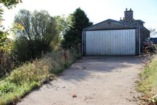
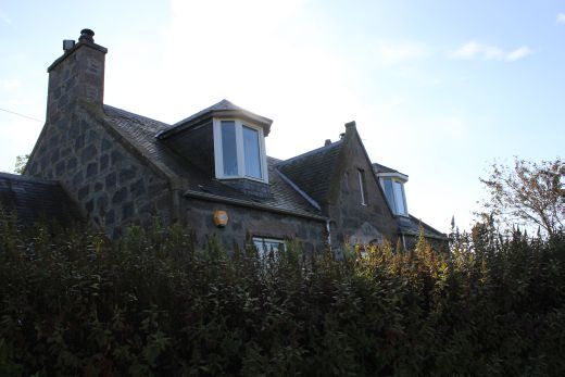
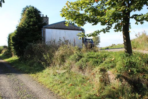
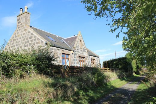
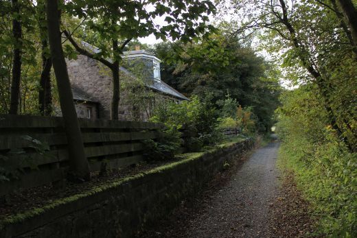
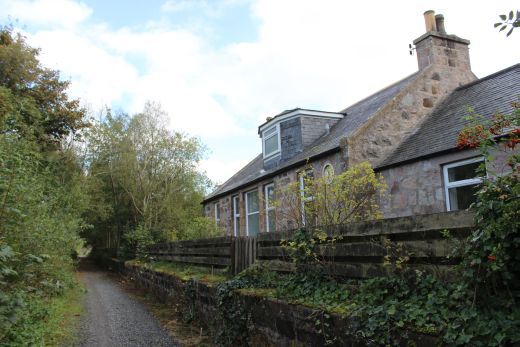
The Down Platform and station building. A Garage has been added. (11 and a half Miles from Dyce). This is a private dwelling house.
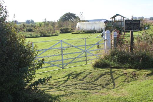
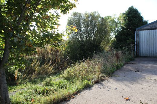
Left: Front of the station building. Right: Entrance to the Goods Yard.
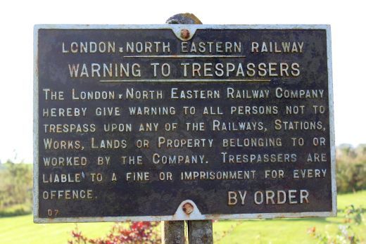
LNER Notice Board. From the Grouping of 1928 and not changed to BR after 1948.
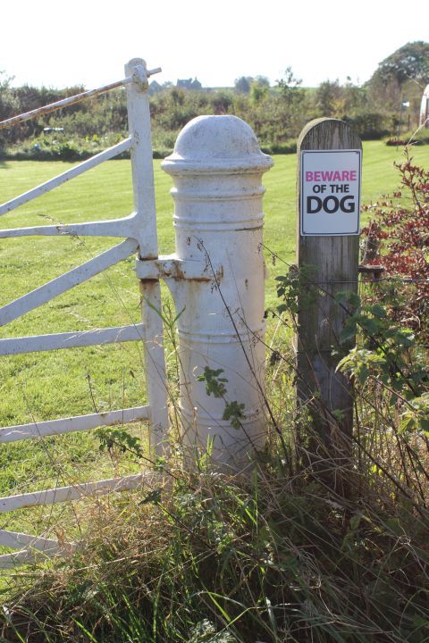
Interesting heavy metal built gate post.
Station entrance from road.
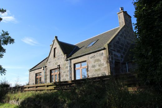
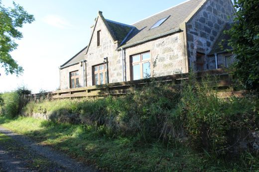
Station side of the platform building and house.
Left: View looking northwards. Right: View looking southwards.
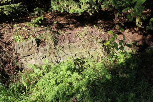
The space for the original signalling rods and angle joints is till in place below the Down Down platform.
Left: View from around the same spot as the old photo to the right. The points into the goods siding would have been here, turning left into the siding. Right: Esslemont station in the 60's. You can see the rod & angle
cut-out at the north end of the platform. The Goods yard is on the left. On the right is the remains of the Up platform, which also had a bay platform edge to the right. The 'today' photo shows how over grown
this spot is today. Perhaps the patform is still there! GNSR Photo.
Left: The station from the south, looking towards Ellon. Right: View southwards towards Dyce.
Looking south from the southern end of the station.
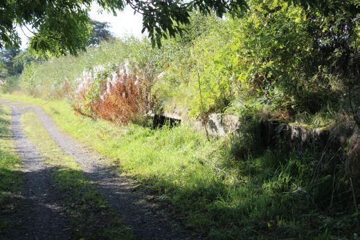
View westwards. Just to the south of Esslemont.
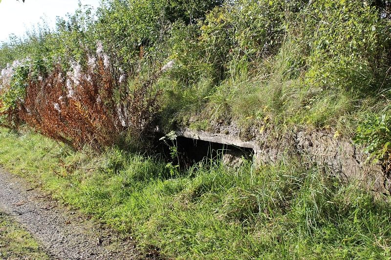
A burn runs below the track bed in a culvert. First eastwards then westwards.
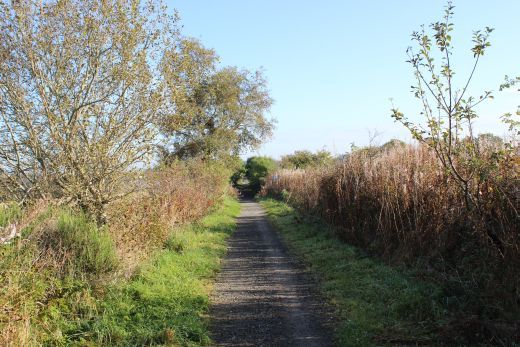
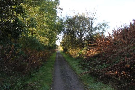
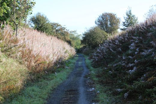
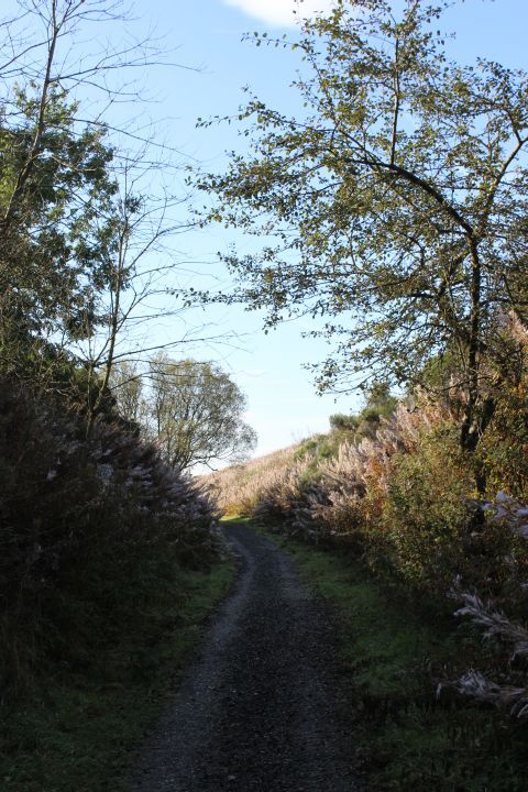
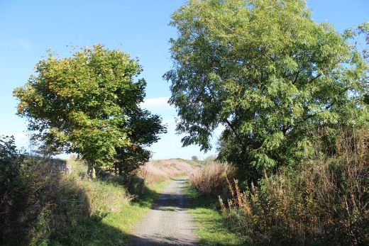
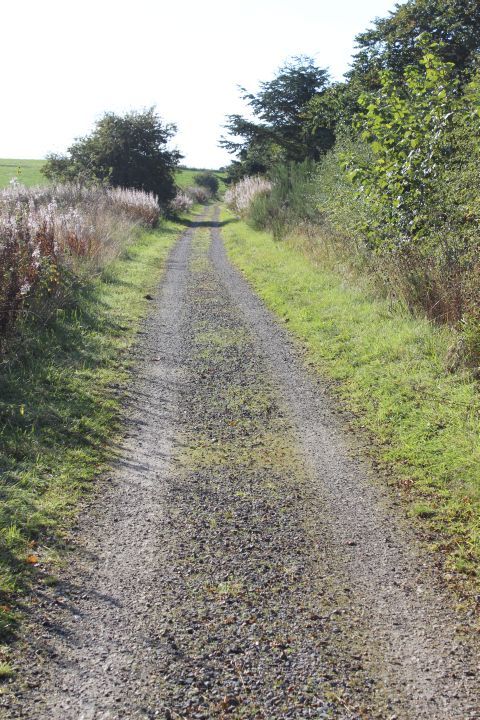
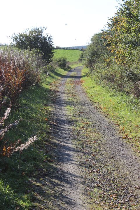
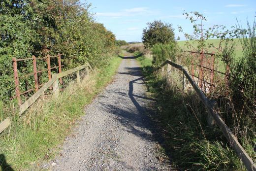
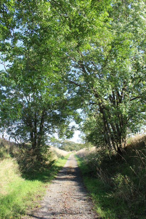
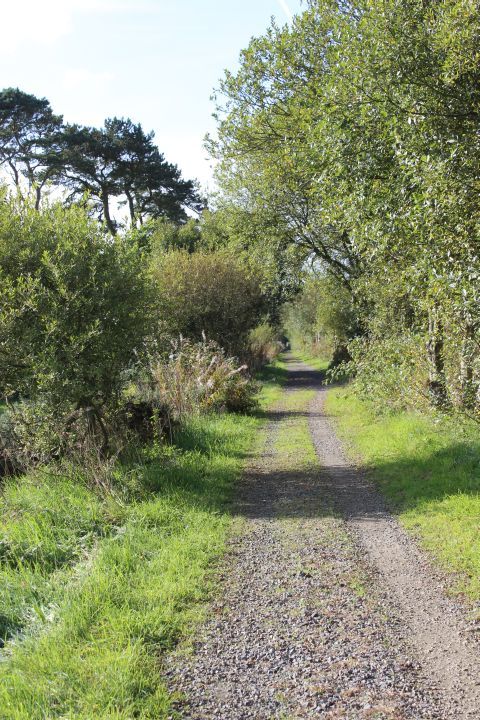
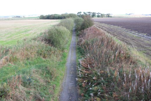
Left: Southwards towards Logierieve. Right: Back towards Ellon.
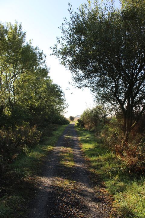
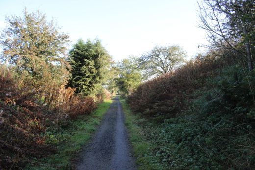
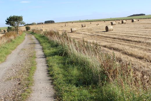
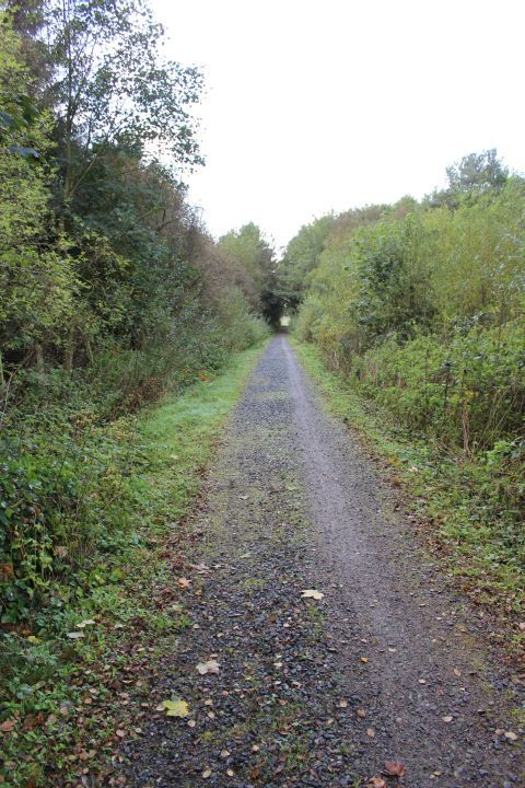
Towards Logierieve.
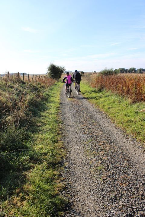
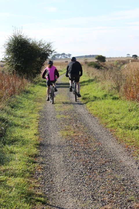
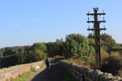
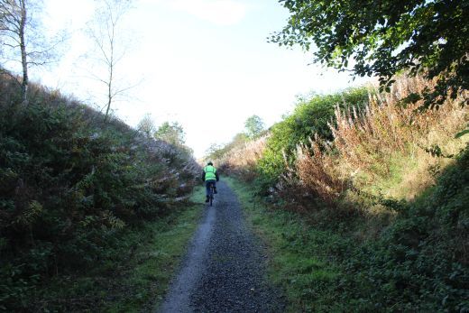
Cyclists head south towards Logierieve. Left: 18mm wide angle view. Right: 55mm 'Normal' angle view.
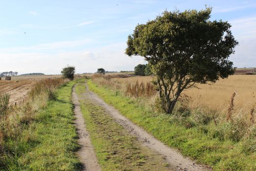
Left: Back towards Ellon. Right: Southwards towards Logierieve.
Left: Towards Ellon.
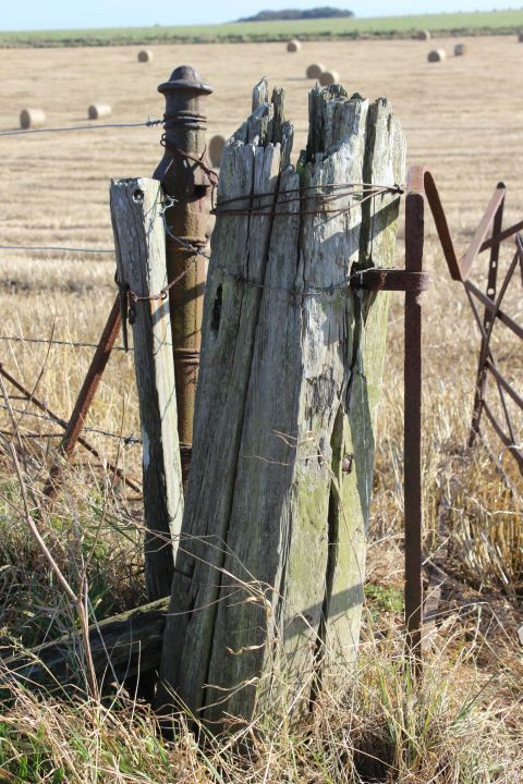
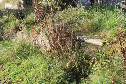
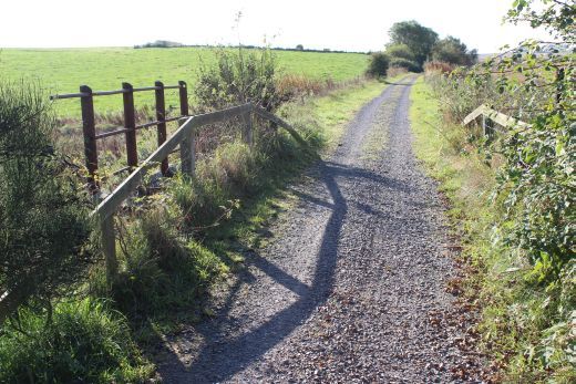
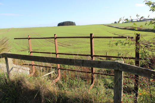
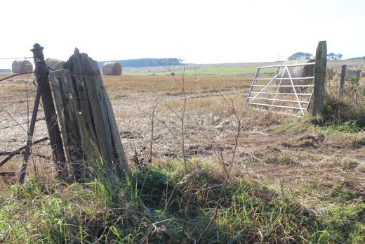
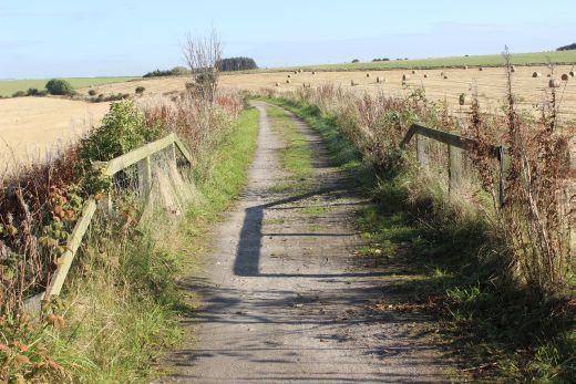
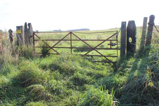
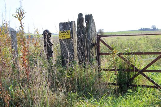
Farm crossing remains. Apprx. half a mile south of Esslemont. Up & Down side gate posts respectfully.
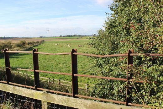
West and east side views from the track bed. Right: Towards Ellon.
Another burn below the track bed. Up & Down directions respectfully.
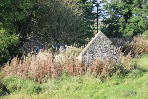
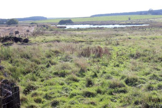
Left: An old farm building on the down side of the track bed. Right: The lake formed by the Burn. East side.
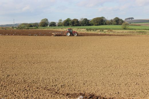
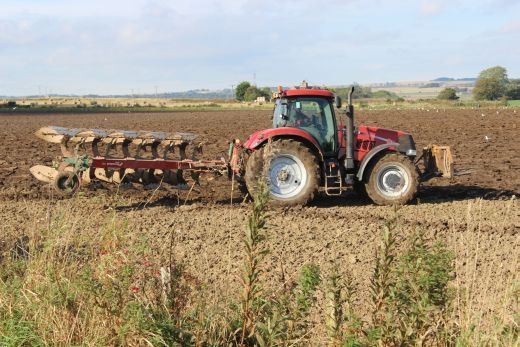
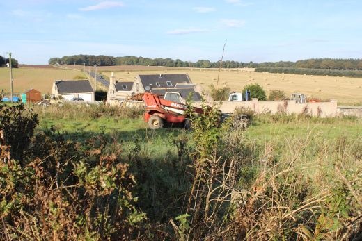
Farm work continues. A tractor ploughing on the Down side of the track bed.
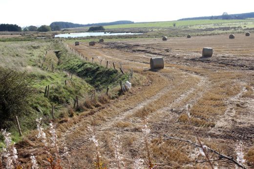
Right: The burn runs eastwards and forms the lake up ahead.
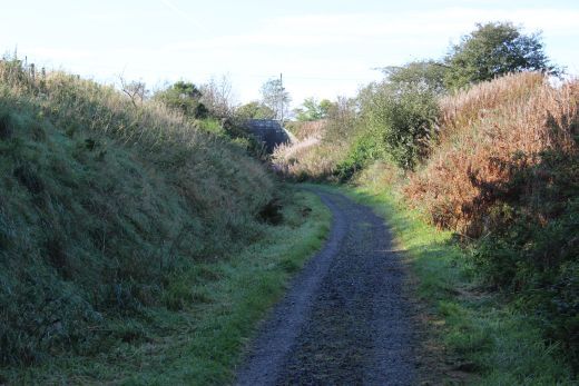
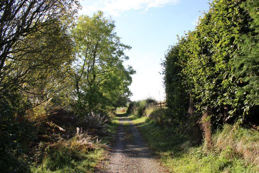
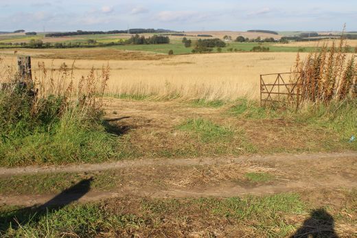
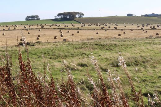
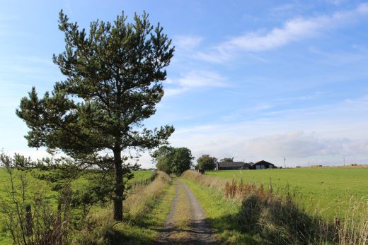
Towards Logierieve. Farm veihicles obvioulsy use this path a lot.
Back towards Ellon andto the east side of the track bed.
Remains of a farm crossing. (Up side). Right: Close Up.
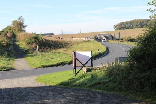
The road above runs between farms through open country linking the A920 and the B9000.
Left: Unusal round edged bridge sides. Right: Remains of telegraph insulators. North side.
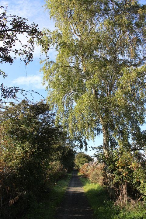
Left: Road over bridge to the north of Logiereive. The north side remains of the telegraph insulators. Right: View back towards Ellon.
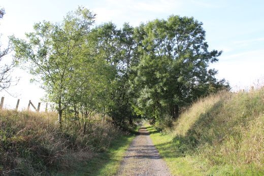
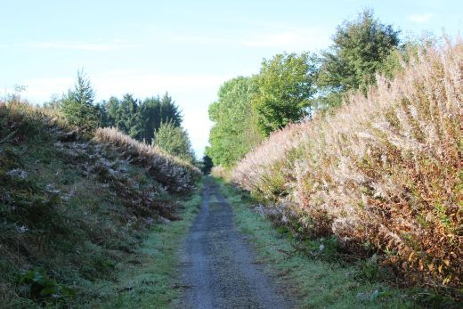
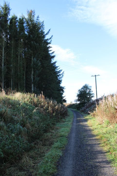
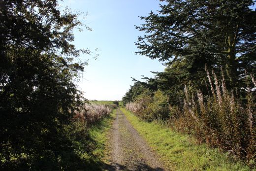
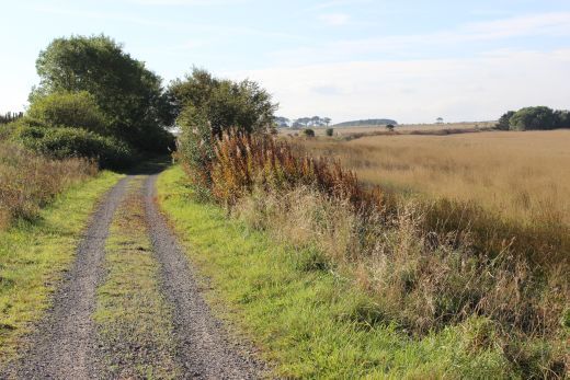
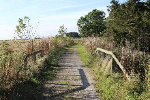
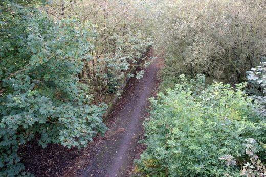
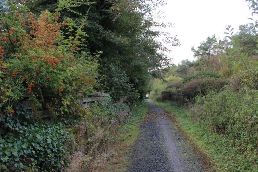
Colourful wooded area to the north of Logiereive. Up & Down veiws respectfully.
A farm crossing just north of Logierieve station site.
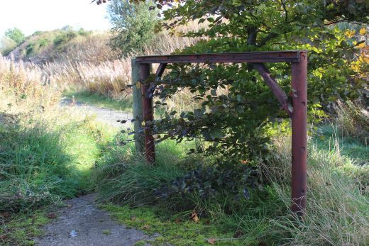
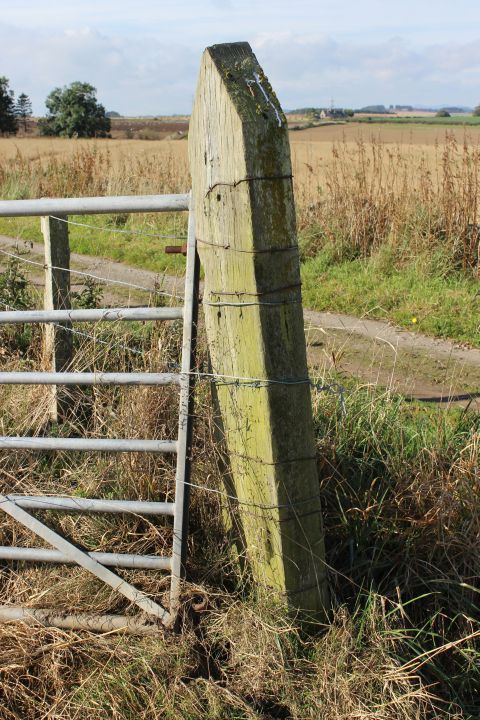
Wire tensioning post and original gate.
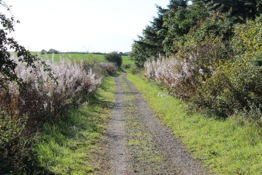
Left: Track bed towards Esslemont. Right: Towards Udney.
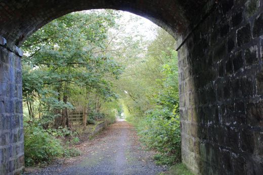
The B9000 over bridge at the north end of Logierieve station. Looking southwards.
View northwards from the road bridge.
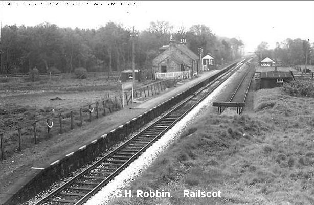
Left: Logiereive loking south from the overbridge. The platform edge can just be seen in the trees. Right: Logiereive station, looking south from the same spot in the 50's. The signalbox is at the north end
of the station and you see the stop block at the north end of the Goods siding. Freight had to be shunted back into the Goods siding at the south end. GNSRS Photo.
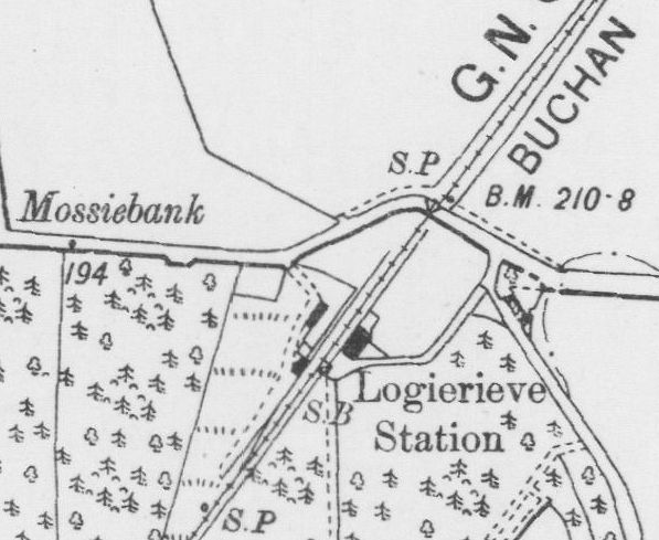
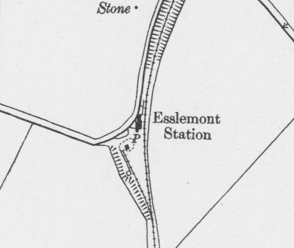
Logierieve Station (NSL Map).
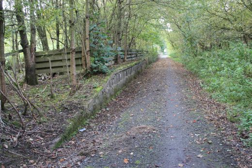
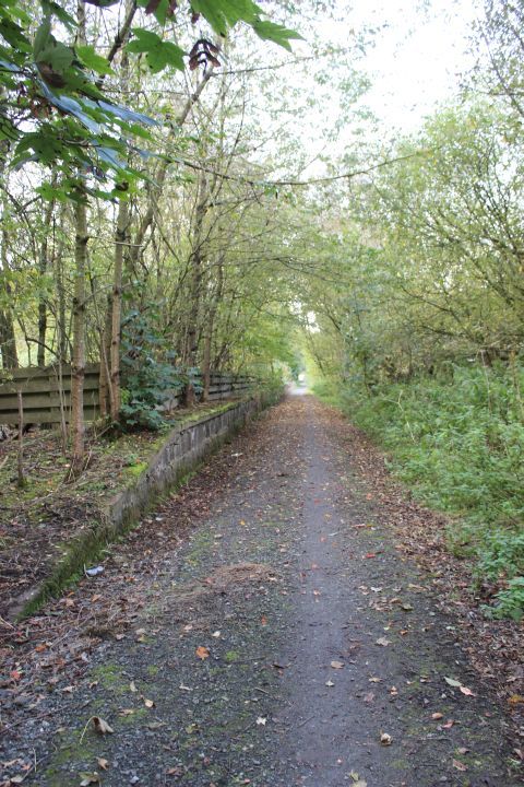
Logierieve Station Site. Looking southwards from below the road bridge. Right: Up platform. The Goods Siding was on the right.
The station had only one platform with a Goods siding, on the right, was worked only from the north
direction facing points, with a stop block at the north end.
South side of the road bridge. Looking northwards.
Left. Towards Ellon. Right: Towards Dyce.
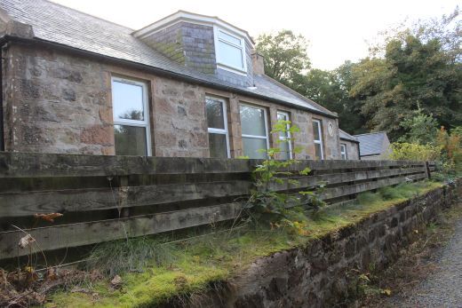
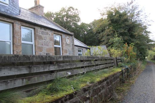
The station house is a private dewlling.
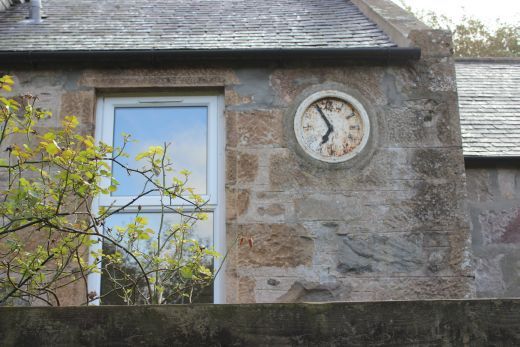
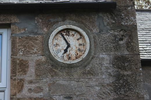
The clock almost looks as if it could still be working.
Left: South end of the station platform where the signalbox stood, with the Goods siding to the right. Right: The station building and Up Platform. Looking towards Ellon.
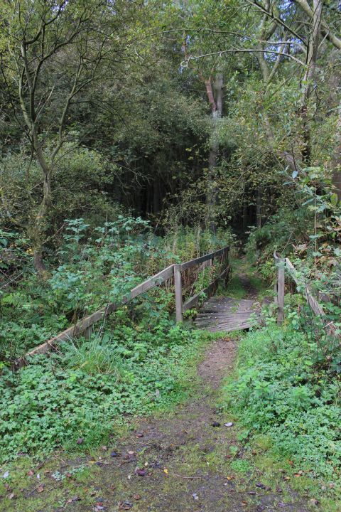
Left: Towards Udny. Right: A wooden bridge across a Burn. On the Down side.
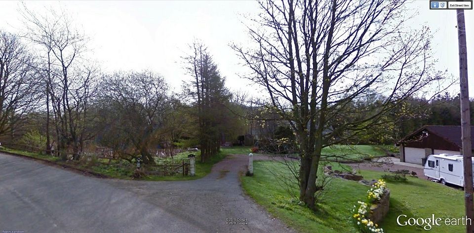
Logierieve Goods Siding entrance (Goggle Earth).
================================================================
LOGIERIEVE TO UDNEY STATION
Back To Index Back to Home Page
This page brought to you by:
VintageHammond.Com - We Buy-Sell-Trade Vintage Hammond Organs and Roll or Kari Organ/Vending Machine Moving Dollies Order Roll or Kari Dollies Here