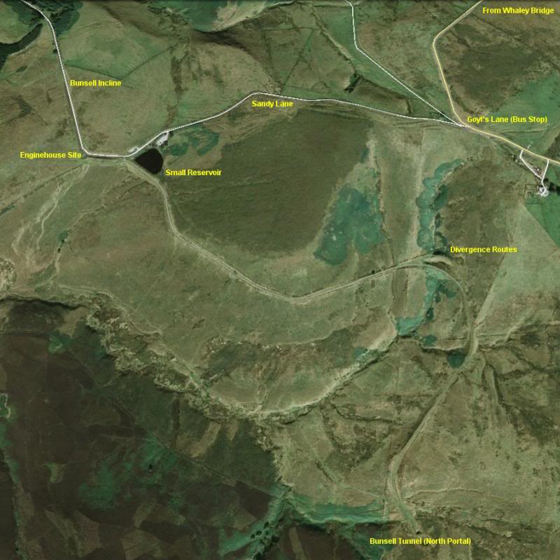
Google Map. Goyt's Lane (Sansdy Lane) to Bunsell Top and small reservoir then over the track bed to Burbage Tunnel, north end.
(From walks on Thursday 5th June and Tuesday 17th June 2014)
(Updated June 2016)
(A) BUNSALL INCLINE TO BURBAGE TUNNEL (North Portal)
For this walk I took the 61 bus from Whaley Bridge to the Junction of Goyt's Lane (Sandy Lane), Old Long Hill Road and the New Long Hill Road, which saved me the repeat walk over the C&HPR track bed to the top of the Bunsall incline, and of course on having to repeat the whole return walk from Burbage Tunnel back to Whaley Bridge. I only had to walk one way. The weather was quite different from my previous walk which was in beautiful sunshine and very dry. This time the weather was heavily overcast with numerous drizzley showers and some very messy walking. Indeed, the walk along the length of Fernilee could do with some pot holes being filled in. At one point if the rain water had been any deeper it would have been impossible to get through without a pair of Wellingtons. The water and mud covered the complete width of thepath, from edge to edge.
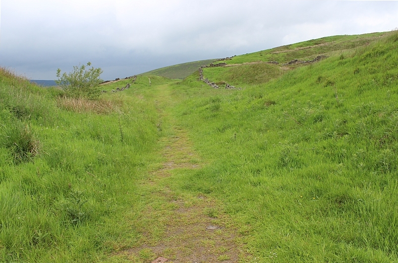
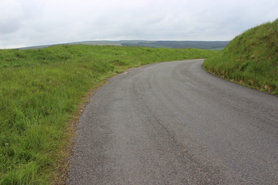
For this section we start from the top of the Bunsall Incline, by what is now Goyt Lane, which was built for access to Errwood and Fernilee Reservoirs and walk southwards past the small reservoir that was used to water locomotives and the Bunsall Top Engine House. The long abandoned track bed heads south for a good two miles and ends at the northern portal of Burbage (Buxton) tunnel, which is totally blancked off.
The south portal is also blanked off and is on private land and normally impassible to get to. You may get pemission from the farmer to go up to the tunnel but have to retuen back the same way. To get back onto the track bed from Burbage you have to take the 'marked' footpath to the right (Facing south) that climbs over the moor and down to the farm road that takes you back up to the track bed by the farm that stops you getting to the south portal and walk southwards down to the road at Burbage (The Old Macclesfield Road).
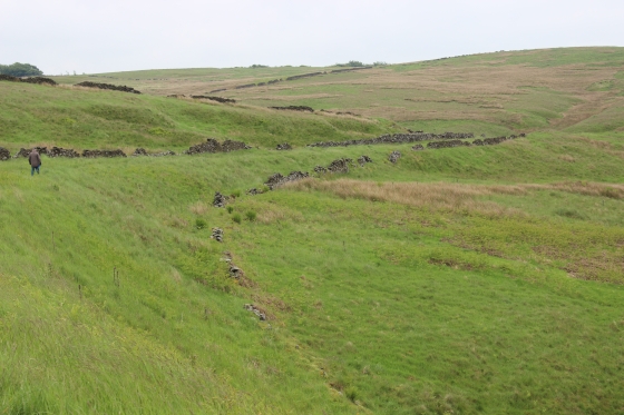
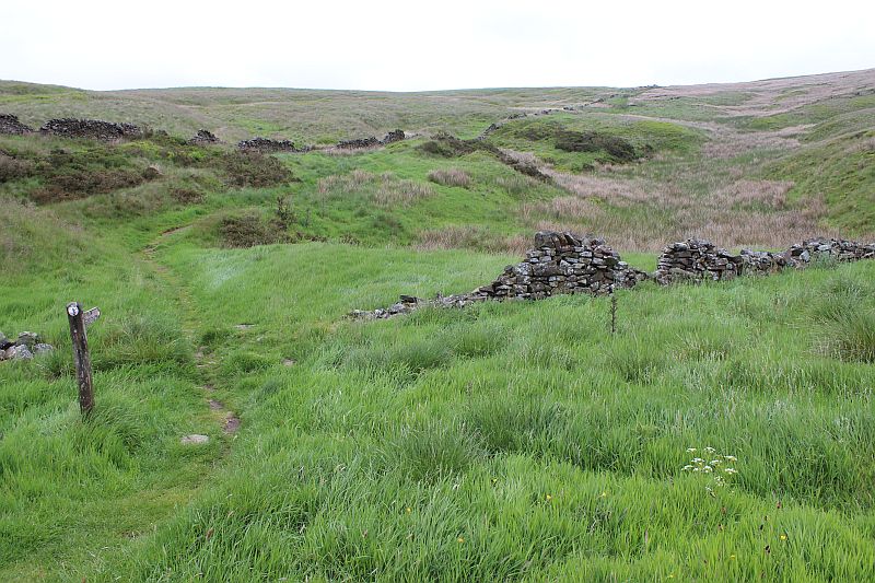
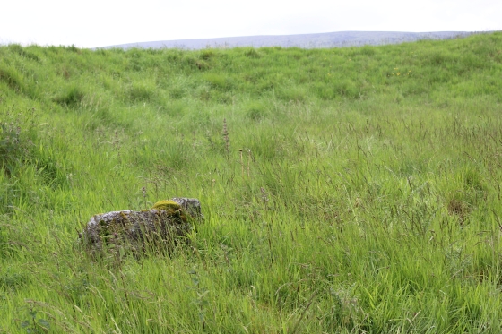
An interesting point in the walk towards the tunnel is where the older tightly curved track bed was abandoned when the longer, wider curved divergence was built 1n the 1860's. The older track bed is still walkable and is a carpet of green grass rather than the made-up pathway on the newer track bed. Where the two lines diverge at the north end there is a gully between the two up the where they diverge at the south end.
Both are on a long sweeping curve and at the south end there is a sharpish left hand curve. The hills rises steelpy on the left while you have a panoramic view over the deep valley to the north. You then follow a left curving cutting right upto the mouth of the tunnel.
This is a circular walk as I walked the newer alignment up to the tunnel and on the return to Bunsall Top took the abandoned alignment so that I covered the whole route in the area. Next time I plan to cover the track bed to the south of the tunnel to Ladmanlow. My eventual aim is to walk as much of the route as possible to Parsley Hay, which woudl allow me to have covered the whole of the C&HPR from Cromford to Whaley Bridge, including the 1860's abandoned sections.
Google Map. Goyt's Lane (Sansdy Lane) to Bunsell Top and small reservoir then over the track bed to Burbage Tunnel, north end.
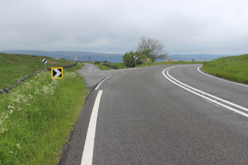
The unmarked bus top at the junction of Long Hill, Old Long Hill Road and Sandy Lane (Goyt's Lane) The service is the No. 61 Whaley Bridge to Buxton.
Sandy Lane is on the left. This is looking northwards, having walked back from the bus stop to begin the walk in earnest.
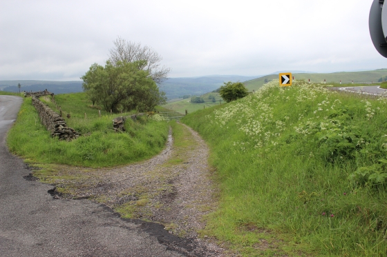
As you head down Sandy Lane (Goyts Lane) you pass the gate leading onto the 'Old' Long Hill Road, which is a pathway back to Whaley Bridge via Fernilee.
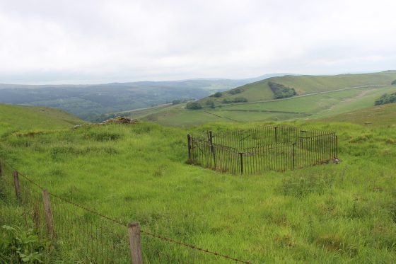
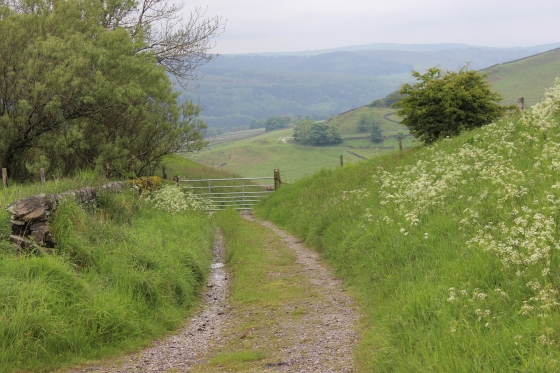
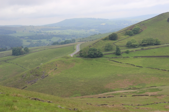
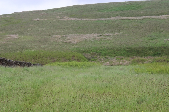
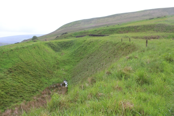
Views from Sandy Lane, northwards. You can see the deep Goyt Valley below. The fenced off area is of interest.
As you progress towards the Bunsall Top site the views are really striking.
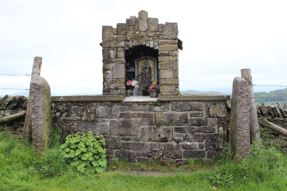
Left: New Long Hill Road below. You pass a colourful shrine. Gatherings are held at this spot on special occasions.
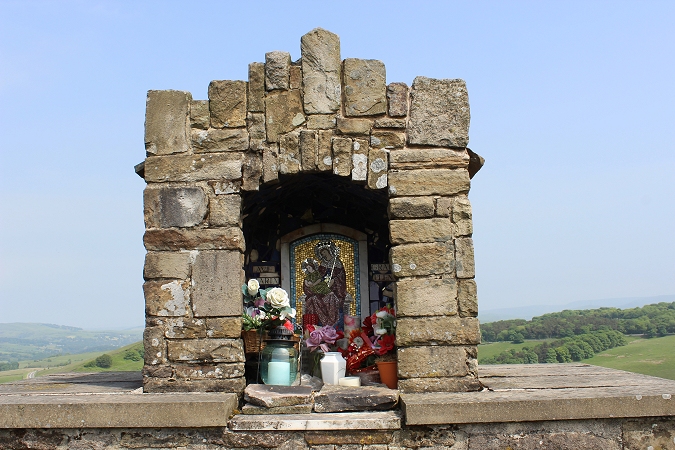
In brighter conditions. 9th June 2016).
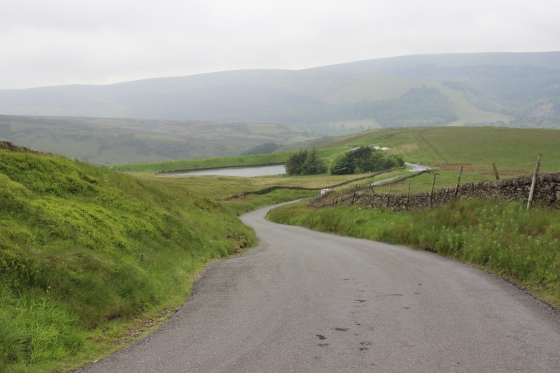
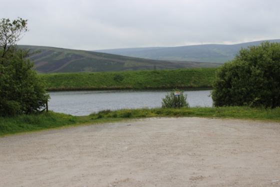
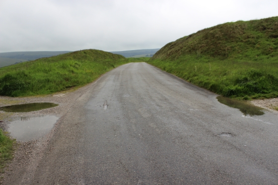
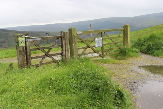
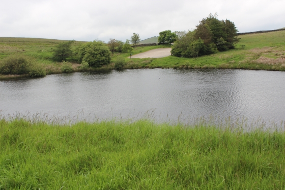
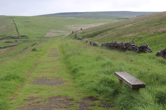
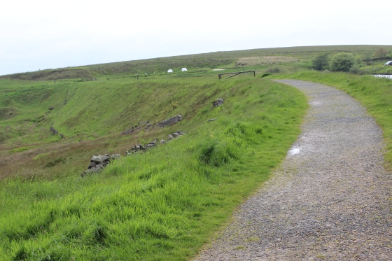
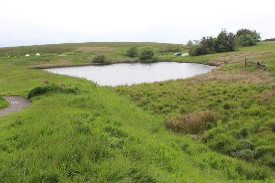
Sandy Lane (Goyts Lane) drops steeply then you see the site of Bunsall Top by the old railway reservoir. The green verge behind the reservoir is the track bed.
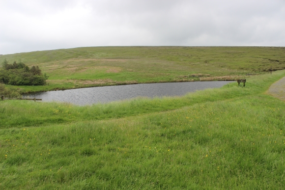
From the north side of the reservoir with the abandoned track bed on an embankment, where it comes in from the Burbage Tunnel section..

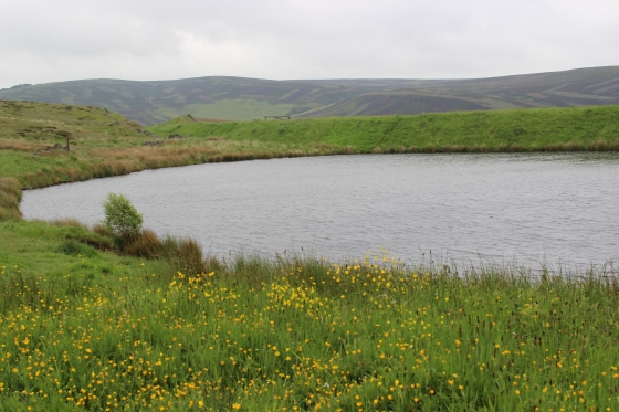
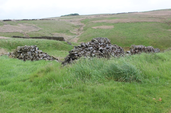
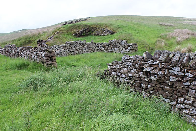
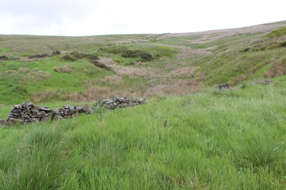
The reservoir is quite deep and care should be taken not to get into the water. The reservoir was used for topping up steam locomotives and for the Engine House.
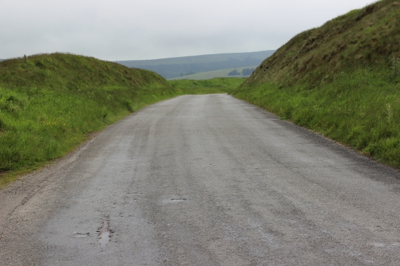
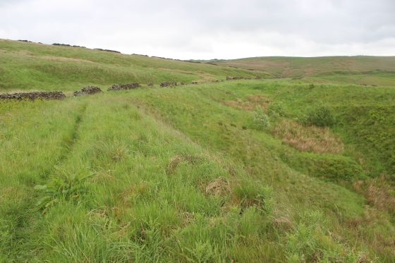
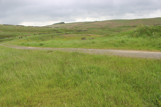
On the south side you see the track bed, which is now a road serving the reservoirs curving northwards past the site of the Engine House.
Left: View from the engine house site, northwards and down the incline towards Whaley Bridge. Right: Ditto, where the wagons were tied & untied to the wire, southwards to Burbage tunnel.
(9th June 2016)
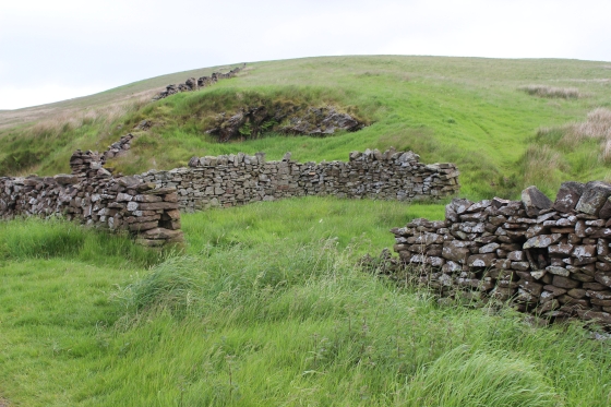
The gateposts to what was the entrance into the engine house. (9th June 2016).
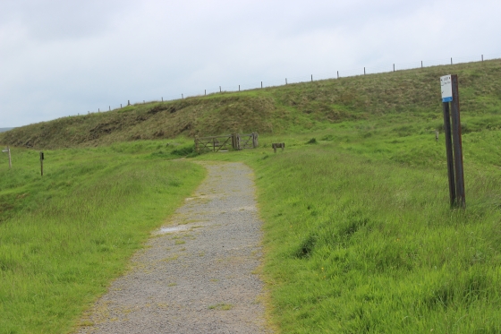
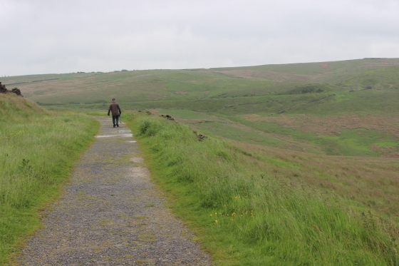
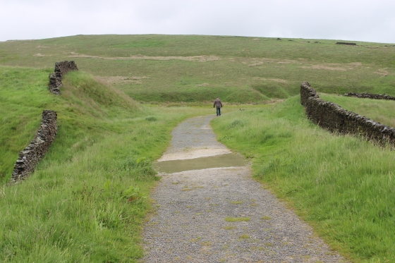
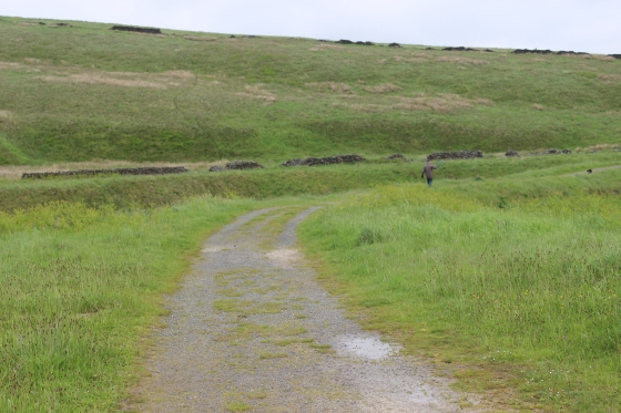
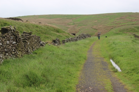
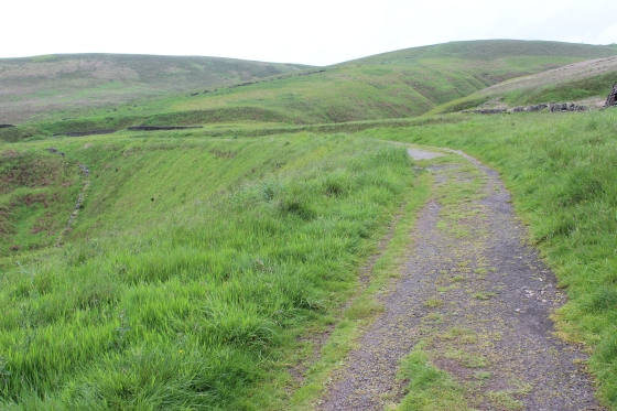
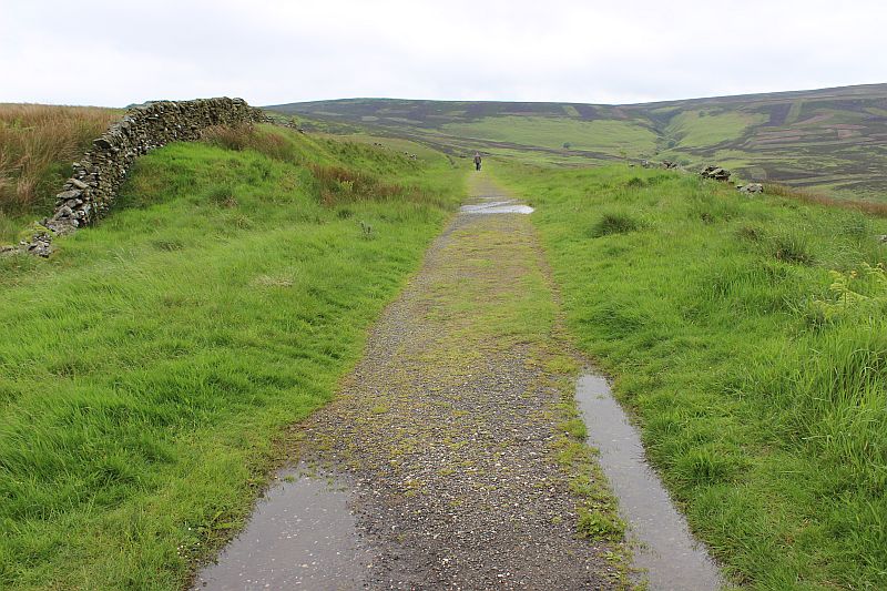
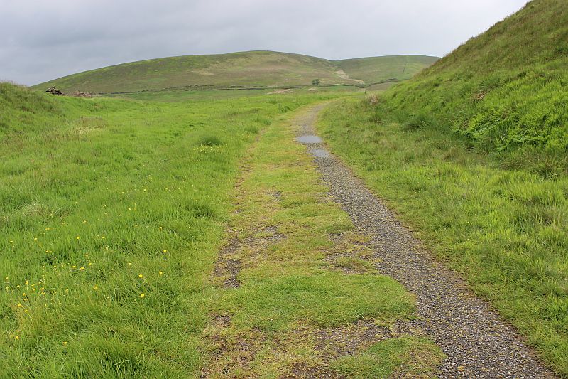
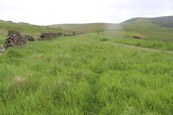
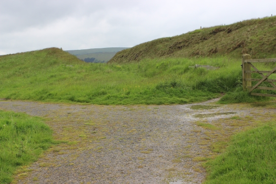
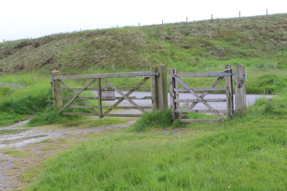
From here we now go through the gate and get onto the track bed to start walking southwards towards the tunnel sit, which is a good two mile walk (one-way).
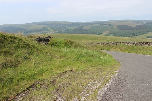
On the right is the footpath to the Goyt Valley which is another pleasant walk to be had in this wild area. Right: The railway ran directly southwards towards the Engine House at the top
of the incline.
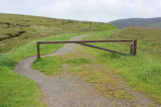
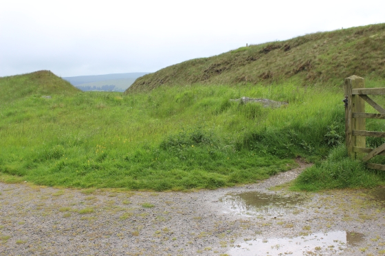
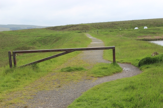
Passing alongside the reservoir then around the fence that stops vehicles getting onto the track bed, which curves into a cutting.
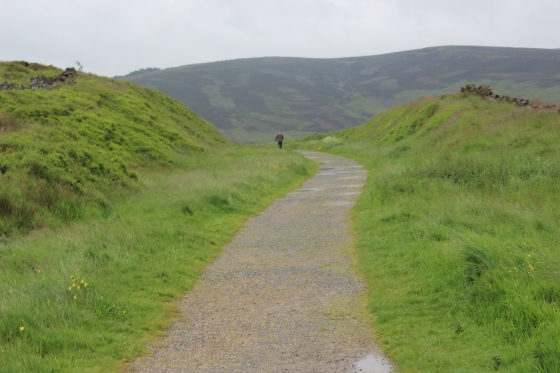
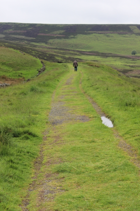
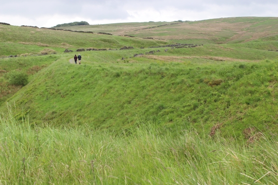
The man was walking his dog and throwing a ball ahead for it to fetch. Both obviously getting some exercise.
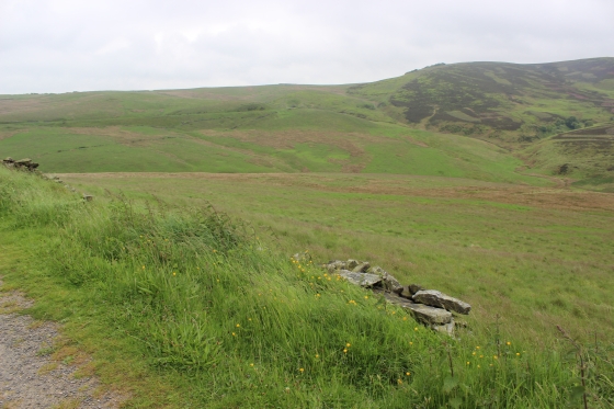
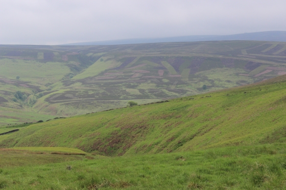
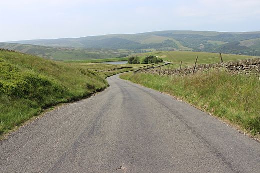
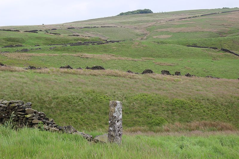
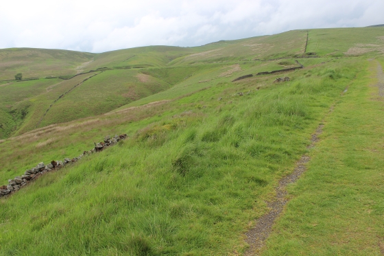
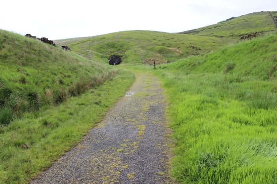
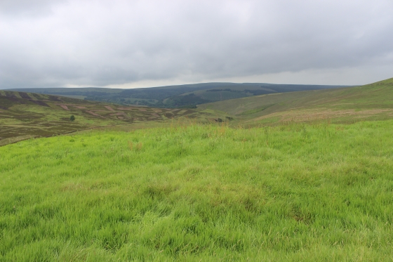
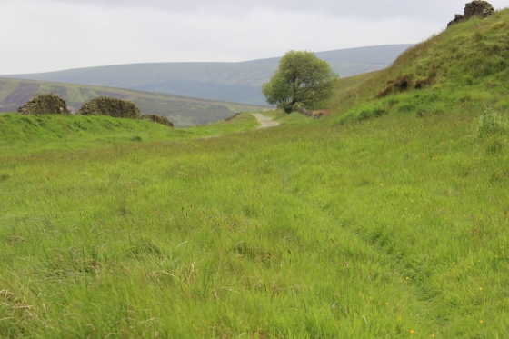
On your right the trck bed now passes on the edge of a valley and you can see the track bed in the distance running horizontally across the scene as it it heads for the tunnel.

The first glimps of the tunnel away up on the hillside (Left).

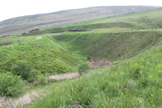
Ater a long straight you see the line curving to the right at the spot where the old and and new alignments
start to part.
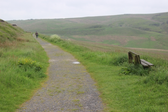
Looking back towards Bunsell Top, which is up around the righ thand corner. 9th June 2016.
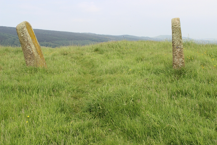
It would be interesting to learn what this post had been use for.
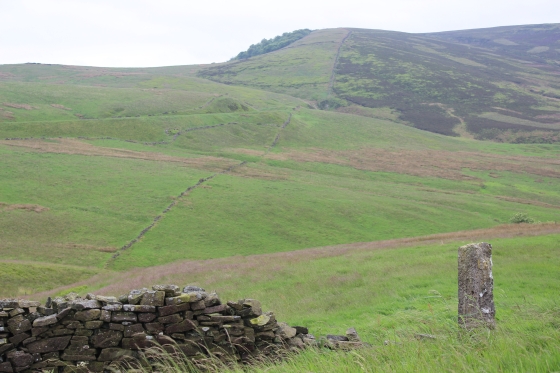
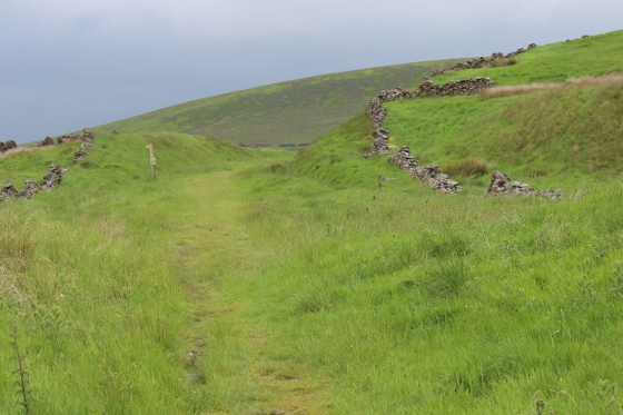
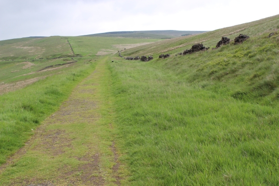
Left:The track bed running horizontally across the edge of the valley towards the tunnel. Right: approaching the north end of the two alignments.
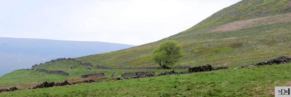
Left: At the point of the split. The old line on a sharp curve is to the left, while the new alingment takes a wider curve to the right. There is a gully in between the two lines.
Right: the old alignment.
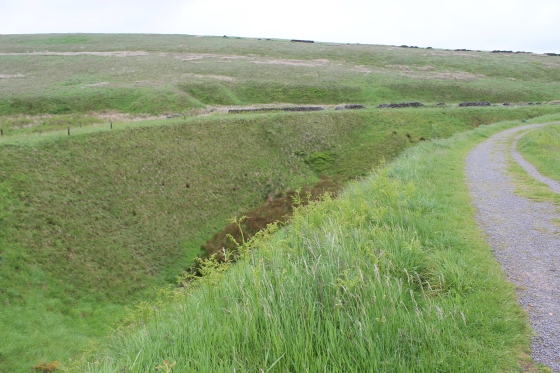
As you progress through the curve the gully comes into sight.
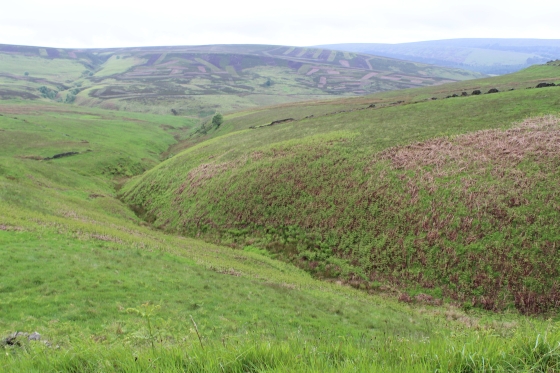
The newer alignment curving off towards the tunnel/. View to the right hand side of the track bed. Looking down the Goyt Valley.
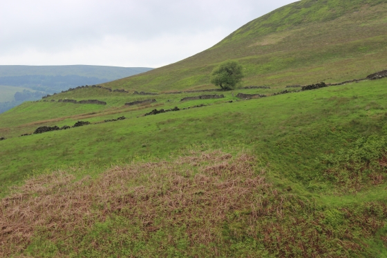
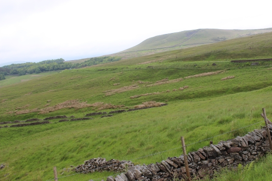
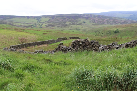
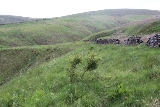
Left: View on the left hand side of the track. Right: Remains of the dry stone railway wall. You now see the large hill closing in and why the need of a tunnel to get through.
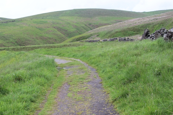
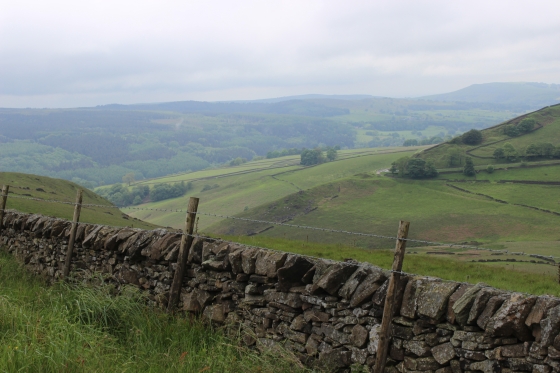
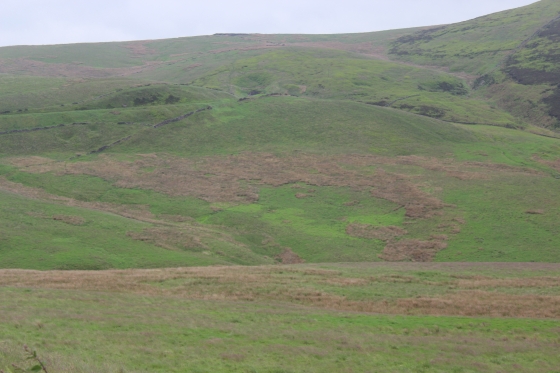
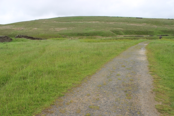
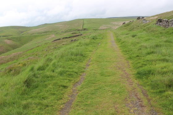
Views from the track bed.
The straight before the track bed turns left and into the cutting that ends at the tunnel entrance.
Left: Looking back with the track bed curving to the left and horizontally across the background.
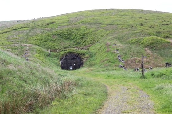
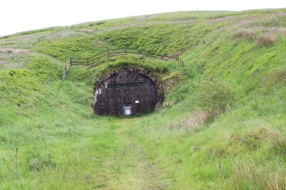
Finally, approaching the tunnel.
The sad end to a lovely walk. No train has gone through the tunnel since 1896. As far as I know there are no photographs of a train at the tunnel that I
know of. I have seen a photo at the south end with track and train still there.
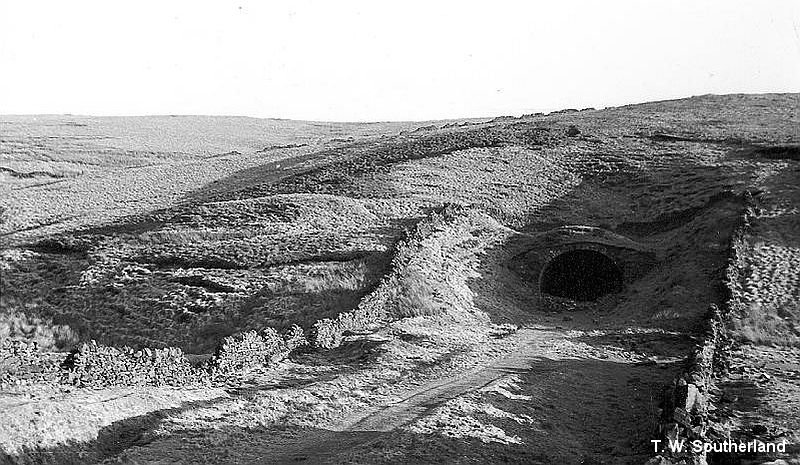
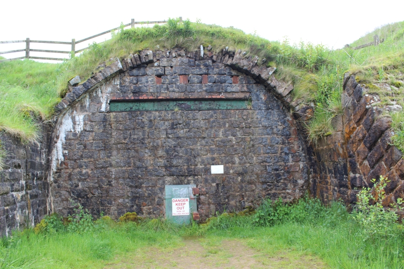
The tunnel mouth in 1958 by T. W. Southerland. The portal is still complete. It was cut back some yards when the portal became unstable and the stones
were used to fill-in the entrance as it remains today.
Burbage Tunnel Interior (Photos)
The left and right sides of the tunnel entrance, where the rock face was removed to block-in the tunnel. (April 2015).
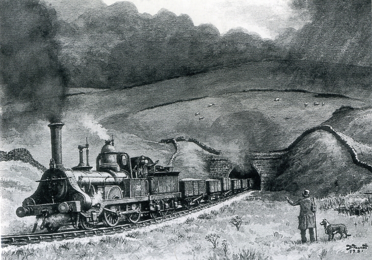
A Crewe Goods 2-4-0 leaving the north end of the tunnel C 1880. Abandoned in 1892. (By Brian Fawcett).
I decided to terminate my walk here as it's a long walk over the moor to the south end of the tunnel and you can't get up to the tunnel as there are two private dwelling along that length
of track bed and usually farm animals grazing . It may be possible to get permission to go up to the tunnel but of course yu can't go any further and have to retuen back toward the Old
Macclesfield Road at Burbage. Likewise, the track bed south to Ladmanlow is also completely private and a long way around by road. Much too far too in one day during my walk in this
instance. This will have to betackled another time, starting from Buxton.
The following photos are during my walk back to Whaley Bridge. I took the opportunity to take the old alignment just so I could say that I had walked both track beds. Up to ths point
while it was quite overcast at times it had remained dry but this changed just after I started back and I got a bit wet two or three times on the way back to Whaley Bridge. Likewise,
walking became a bit messier too, in places. However, I did managd to get a fair number of fresh photos and fill-in photos where I had missed things during my last walk. The photos
have been used throughout the web pages where they fitted in.
View looking north from the tunnel portal, which s immediately behind the camera.
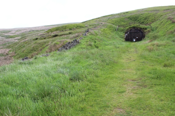
The signed footpath that climbs left of the tunnel and takes you back to the south side of the tunnel and down to the Old Macclesfield Road. It is a good 40
minute walk. Follow the footpath up the hill and keep to the right of the stone wall, all the way up over the top. Then follow the footpath down the hill
until you come to the wooden steps that take you down onto the farm road. Turn the right at the road and follow that up to where it meets the track bed
by the farm that stops you getting to the southern tunnel portal. Turn southwards and follow the track bed until you come to the Old Macclesfield Road.
This is as far as you can get on the old railway, which is blocked off between Burbage and Ladmanlow and there is nowa road or path to get to Ladmanlow,
which makes this a long way around by road.
Left: view looking south from blocked entrance of the tunnel. I start the walk back to Whaley Bridge. With plenty of time in hand it was a pleasant three hour
Left: Up ahead you can see the sharp curve to the left where the two track beds separate.
.jpg)
Left: South end split of the two lines, with the gully between them. Right: From the same spot looking back towards the tunnel.
Left: The gully between the two lines. Right: The track bed is unmade and mostly grass, which is pleasant enough to walk on but after the days of rain it was quite wet underfoot.
Left: Northwards. Right: Southwards.
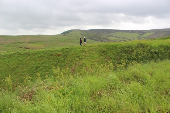
A couple walk the newer track towards the tunnel while I walk the original track towards Bunsell Top.
The line curve northwards to the left and past the small reservoir and nears Bunsall Top.
The gate at Sandy Lane (Goyts Lane). Left: The track bed ran directly ahead up to the Engine house.
Left: This was the level on which the wagons were attached and detached from the wire. The engine house was on the left. Right: a single stone that would have been part of the
engine house or the wall around it
==============================================
TO: BURBAGE TUNNEL NORTH TO BURBAGE TUNNEL SOUTH
My Thanks To......
Whaley Bridge Photos for their kind permission to use old photos of the Whaley Bridge to Shallcross section. These and many old photos of Whaley Bridge can be viewd at:
http://www.subn.org/whaleybridgephotos/trains.php
John Evens (JodrelAviator) for the use of his xcelent colour photos of the C&HPR in the 60'd & 70's. John's Fickr photods are at: https://www.flickr.com/photos/the-evanses
John Neave for his kind permission to use a number of his 1960's photographs when the railway was still in operation. Check out John's ''Going Loco'', which includes a C&HPR history. At....
http://goingloco.neave.com/
Mark Norton for the use of 1940's photos by his late father Dennis J. D. Norton. http://www.photobydjnorton.com/CHPR_Menu.html#Links
To the son of Geoff Plum for the use of his late father's phots. Plumb Loco is at: Plumb Loco (By Geoff Plum) Photograhs
Reading: The Cromford & High Peak Railiway by John Marshall. Published by Martin Bairstow. Printed by The Amedeus Press 2011.
Other Railway Walks....
The first passenger railway in Scotland opened in 1831, which had three inclines operated by stationary steam engines. The main source of income was from
the numerous stone quarries in the area and local farming produce. Passenger numbers were always sparse.
The inclines were abandoned in the mid 1800's by new deviations that allowed through locomotive running.
The line also included the Dundee Law (Hill) tunnel built at 300ft above the City. Both the north & south portals of the tunnel are buried below modern housing schemes.
Passenger services ended in 1955 and the line closed completely in the mid 60's under the Beeching Ax.
Unlike the C&HPR none of the Engine houses were preserved. The inclines can still be followed but sections have been back-filled or ploughed over
This web site tries to cover as much as possible.
Boddam To Ellon Branchline Built by the GNSR in the latter part of the 20th century. The passenger service only lasted until 1934 but goods remained up to total closure in 1949.
The GNSR built a large Golf course and Hotel at Cruden Bay, with an electric tramway between the station and hotel. All that remains today is the Golf course. One of the two elctric trams has been
fully renovated and is on show at the Grampian Transport Musem in Alford.
Other web pages....
Kittybrewster Memories Kittybrewster Loco Depot, Aberdeen.
Tivoli Memories The Tivoli Theatre, Aberdeen.
Hosted by www.theatreorgans.com
This page brought to you by:
VintageHammond.Com - We Buy-Sell-Trade Vintage Hammond Organs