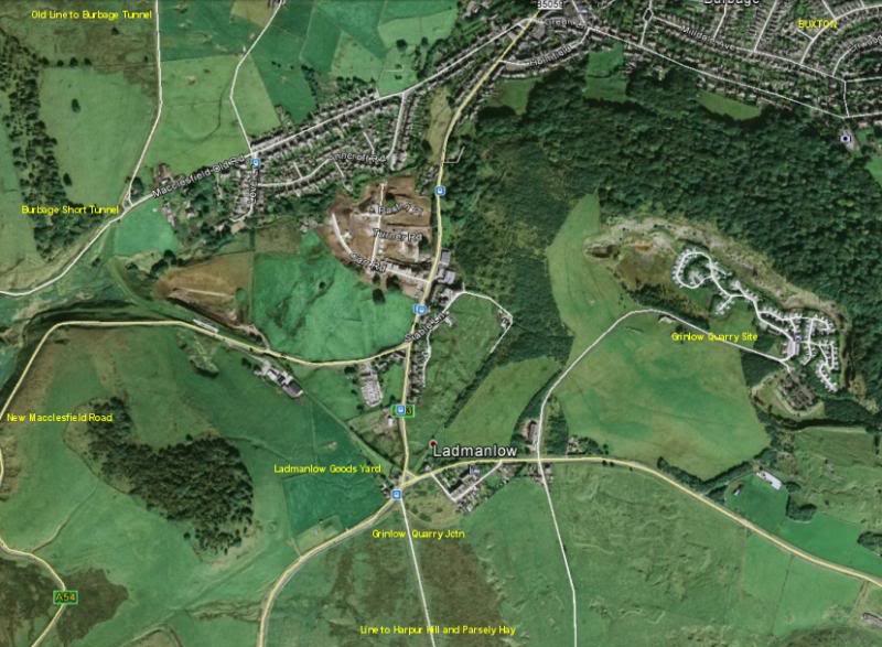
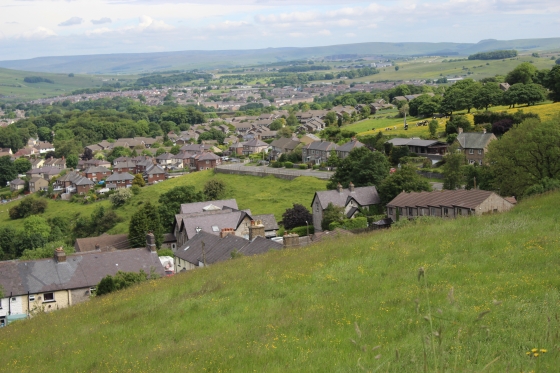
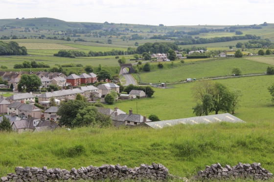
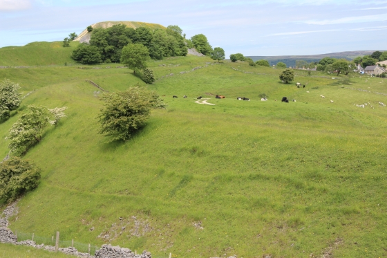
Google Map, showing the area from just south of Burbage Tunnel, to Ladmanlow, Grinlow Quarry Branch and original line to Harpur Hill.
(From walks on Tuesday 17th June 2014)
(LADMANLOW TO HARPUR HILL)
This was another difficult area to expect to get to but as it turned out I could get the train to Macclesfield then a bus from the Macclesfield to a bus stop just a walk from the site
of Ladmanlow Goods and this worked out perfectly. Catching the 09.15 No. 58 Macclesfield to Buxton from the Bus Station and arriving at Ladmanlow at 09.40. Giving me plenty
of time to walk the track bed as far as it was possible just south of Harpur Hill. Luckily too, Harpur Hill has a half hourly bus service too and from Buxton, making this a one-way
walk.
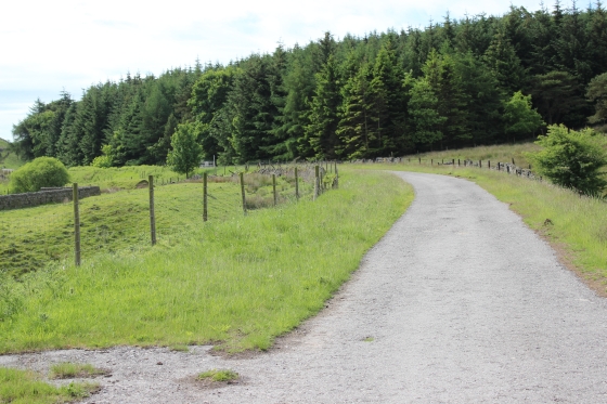
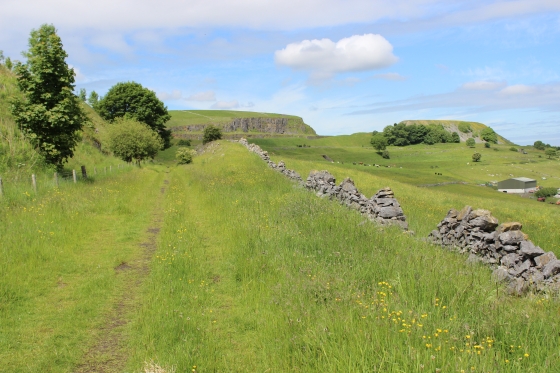
Ladmanlow was a Goods yard. The line northwards to Shallcross Incline was abandoned in 1892 but Ladmanlow continued up until total closure in 1952. When the Dowlow
incline was abandoned the Ladmanlow service was run on the newer divergence that ran northwards. This was later abandoned when the new High Peak line was built directly
from Hindlow to Buxton.
There was also a Quarry branch at Ladmanlow that split on the south side of the road crossing that served two quarries at Grinlow. All that remains today is the site of the
junction spur from the mainline. The Ladmanlow track terminated at the north end of the Goods siding at the south end of the short tunnel at Burbage, by Old Macclesfield Road.
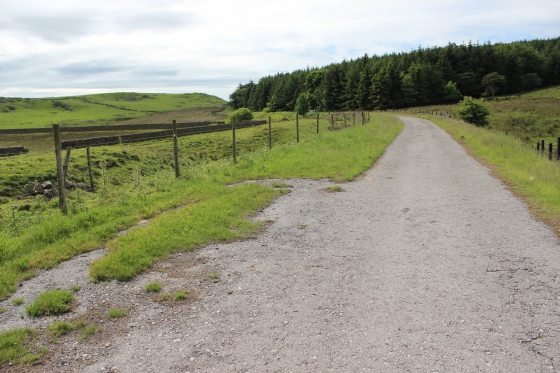
Another long divergence was from just south of Ladmanlow where the original route carried on farther south before turning back northwards and ran over the newer line (site)
before turnimg east to head south to Parley Hay and to Cromford. You can't walk the original route as it runs through the strongly protected Health & Safety site. You have to
follow the newer divergence track bed all the way. Even this track bed, which is a servicing road for the H&S plant needs to be taken carefull and stick to the rules and security
of the site. Don't take any chances and don't photograph any buildings or equipment
on the way. The route can sometimes be closed to the public when experiments and other H&S business is taking place. Watch out for the red flag(s) flying that warn of possible
explosions taking place.
You do see the orignal route circling the area and also where it was cut of from the newer line. Likwise you cross the path at the other end where the two lines would have met.
At the south end of the H&H area, again the original and newer divergence routes are easily walked. The older line was abndoned but was reopened as a branch serving Hillhead
quarry. It is recommended that you keep to the newer track bed (East Side) heading south as the quarry is still in operation and has it's own security in place at the other end.
However, up to that pont it is possible to walk on eithertrack bed if you wish but need to get back down to the newer track bed to get down onto the road where the over bridge has
been removed. This is as far as I ventured on this ocassion.
Google Map, showing the area from just south of Burbage Tunnel, to Ladmanlow, Grinlow Quarry Branch and original line to Harpur Hill.
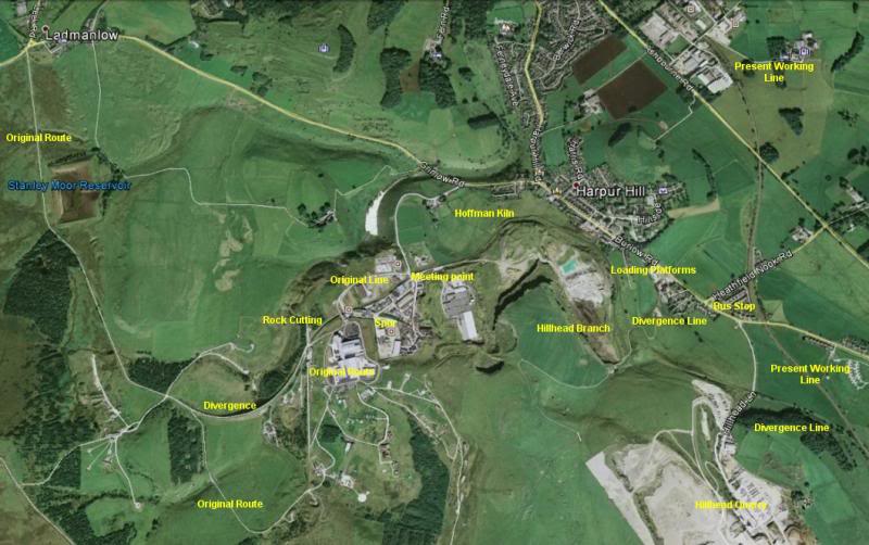
Total route from Ladmanlow to Hillhead Lane. Showing original route and divergence and also the Bus stop where I ended my walk.
I discovered later that the same bus from Macclesfield (No. 58) goes to Burbage before finally going towards Buxton town centre.
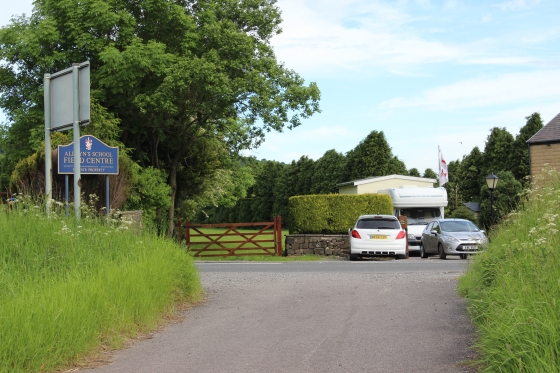
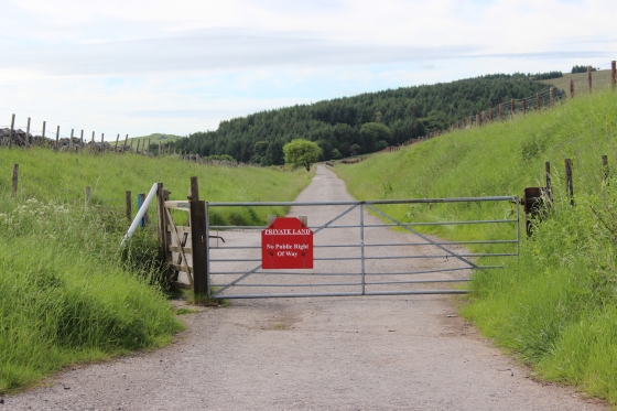
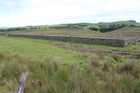
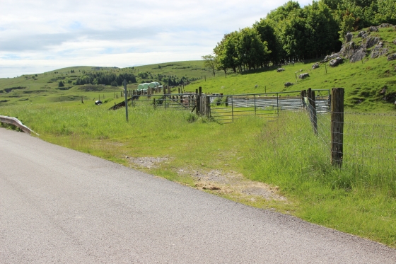
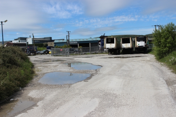
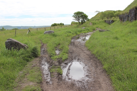
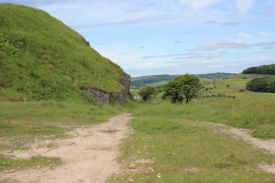
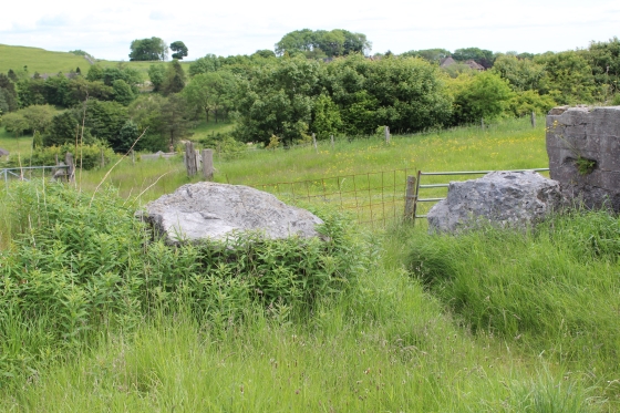
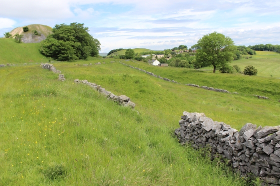
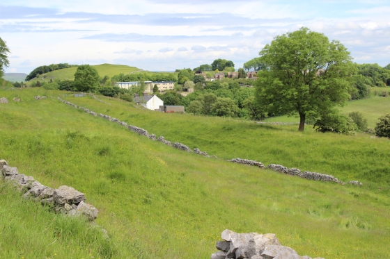
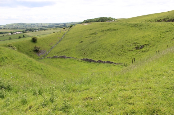
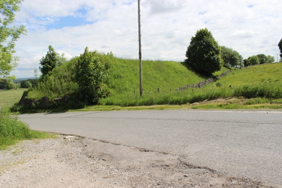
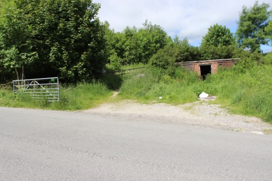
Site of level crossing, with Ladmanlow Goods.
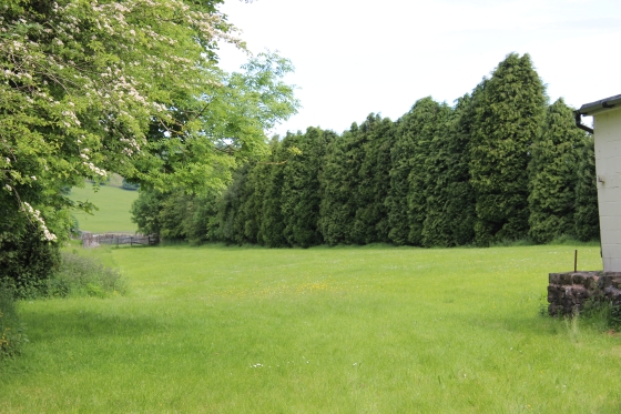
Left: he Goods Yard as it is today. Running towards the short tunnel at Burbage. Right: The stone base below the building may be remains of the loco shed.
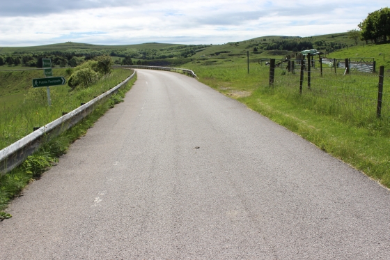
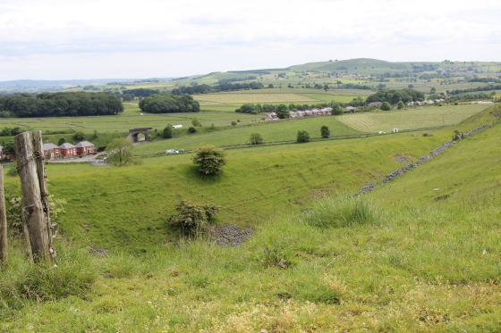
The level crossing site and south towards Harpur Hill.
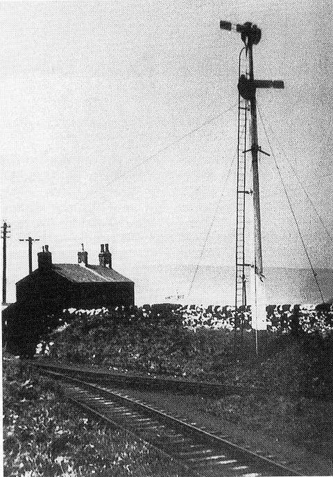
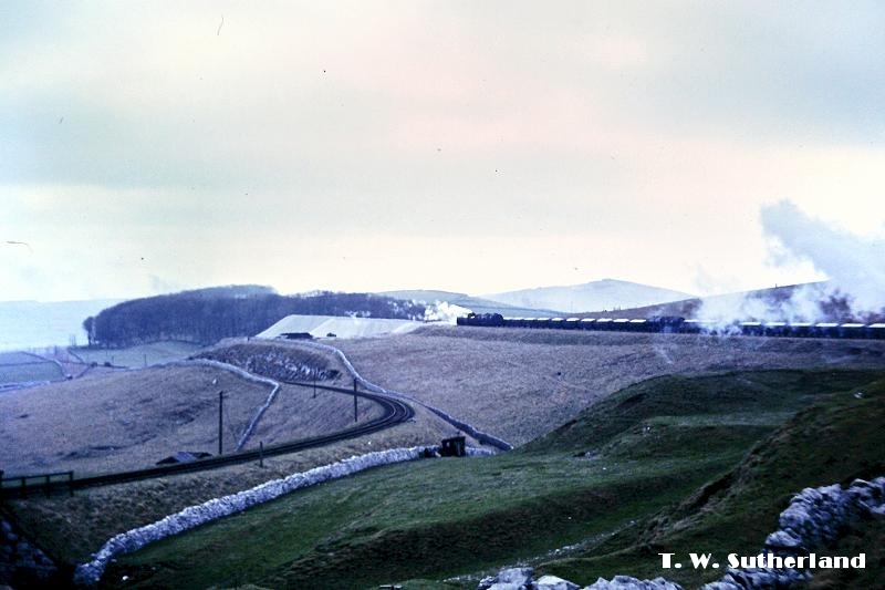
Ladmanlow level crossing in the 50's. Almost the same spot as below. Quite a change. Even the quarries look closer and larger in the frame and, of course, the quarry branch would have still been operating
too. The house on the right s also seen, below, as it is today. Interesting to see such a large locomotive and a passenger brake coach on the branch.
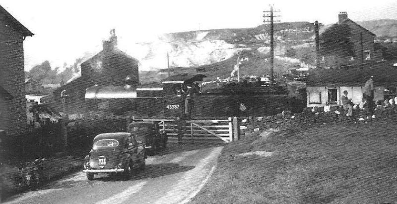
A special crossing Old Macclesfield Road and into Ladmanlow station on the 27th of July 1952. (J. W. Sutherland).
Comparing with the photo above, left you see how the road has been widened. The pavement on the left has been added and the wall where
the enthuiasts are on the right has disappared. The loco tender is where the centre road markings now are. Almost the same amount of the
station house is shown on the extreme left but th house behind the loco chimney is just partially seen. The hose in the back ground, right
is still clearly seen. The 2014 camera has a much wider lens than the 1950s camera making the background look much further away.
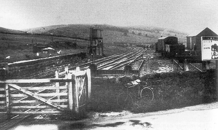
From the same position as above right. Ladmanlow Goods Yard 6th June 1936. With thet rack coming in from the level crossing and curving
off towardsBurbage. The bike is roughly where the white car is parked. (Author Unknown).
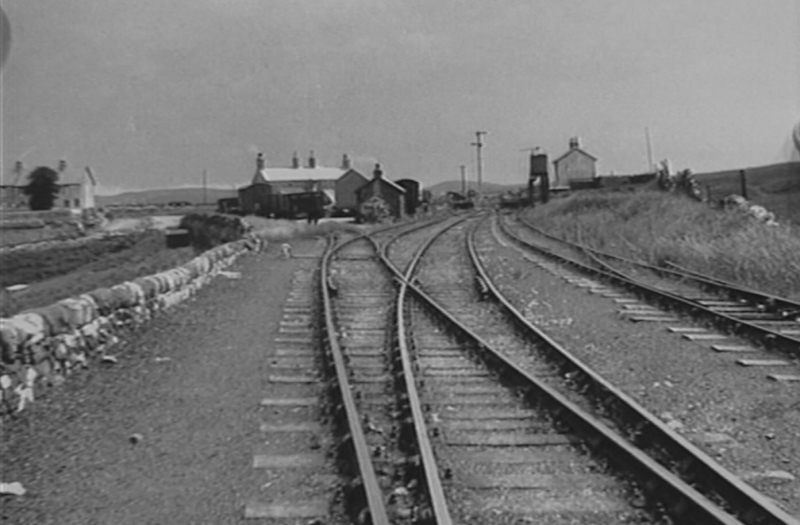
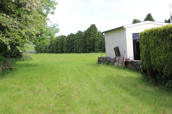
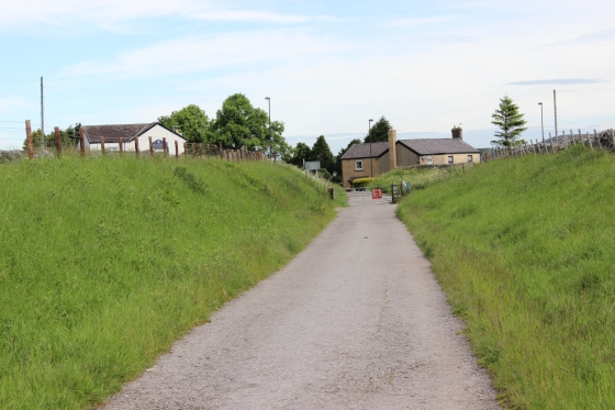
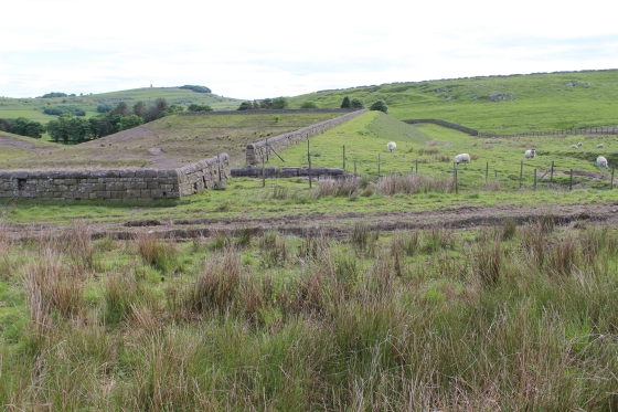
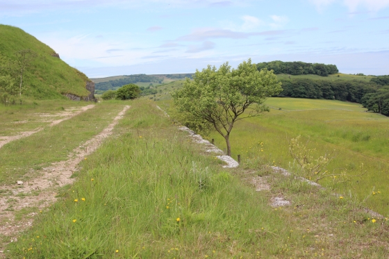
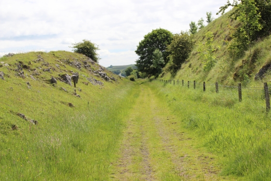
From within the station site and Goods yard, looking southwards.
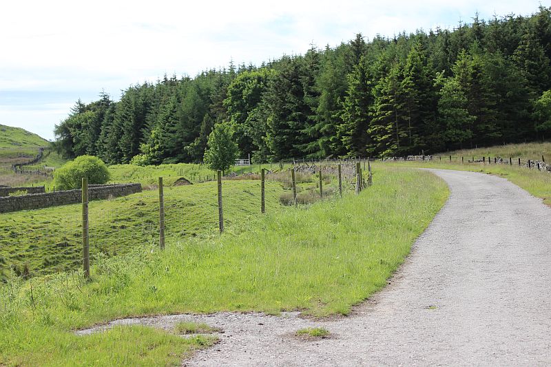
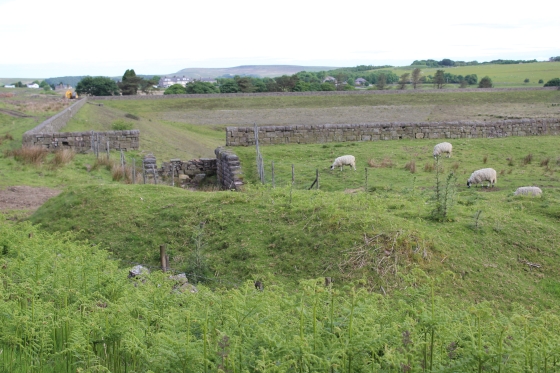
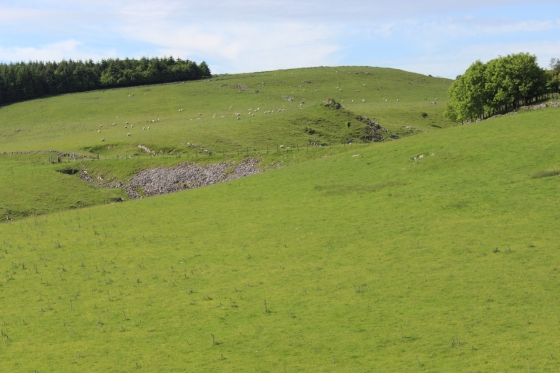
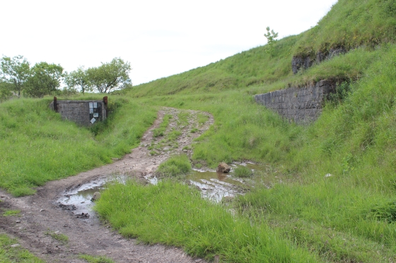
Left: The track bed heading south. The line from here, through Harpur Hill is now part of the Health & Safety Site. Right: Remains of the junction for Grinlow Quarry.
Looking northwards towards the ex level crossing.
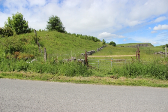
Left: The Grinlow branch Starting signal at Ladmanlow. (Author Unknown). Grinlow quarry is now a Carvan Club Site.
Right: Looking southwards towards Harpur Hill.
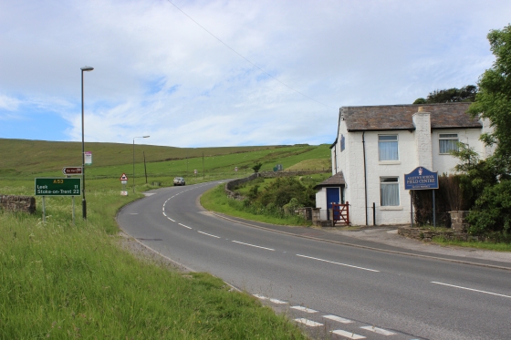
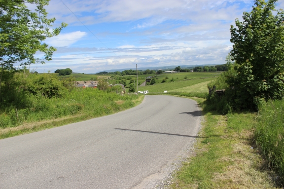
Left: Northwards back towards Ladmanlow level crossing and Goods Yard.. Right: The New Macclesfield Road (A54), where I came down on the bus into Ladmanlow just 15-20 minutes before.
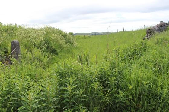
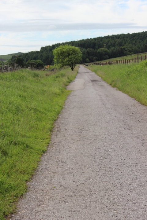
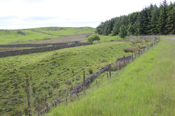
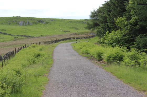
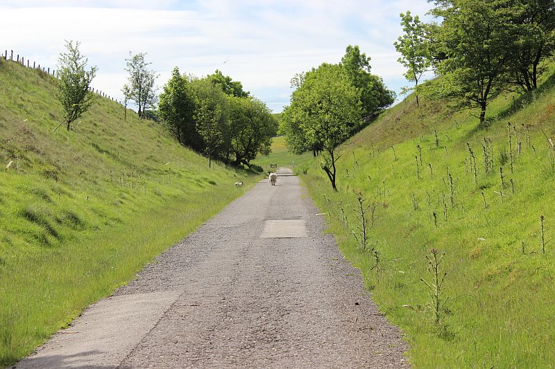
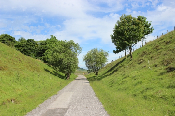
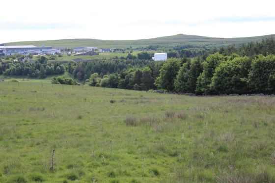
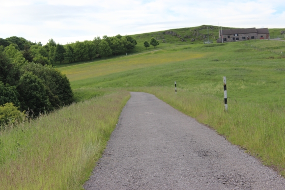
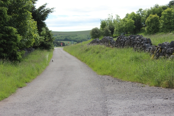
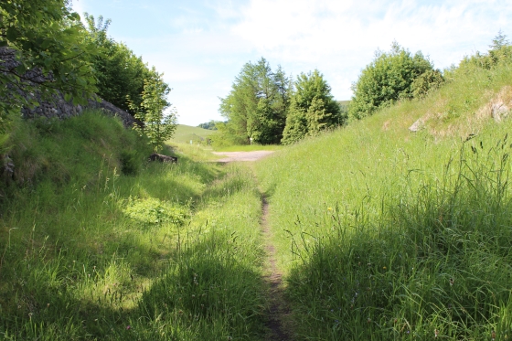
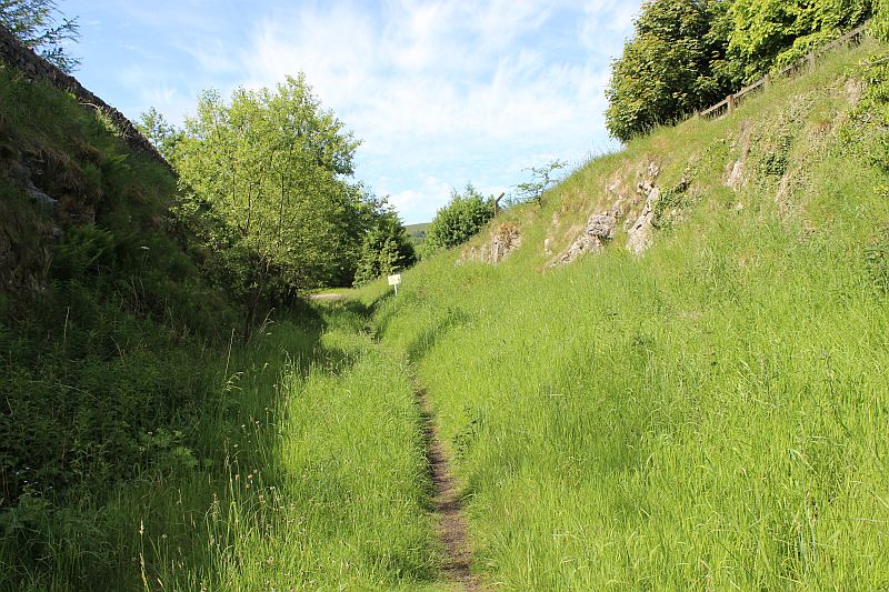
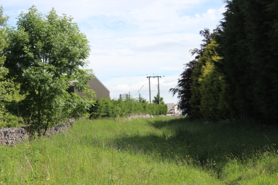
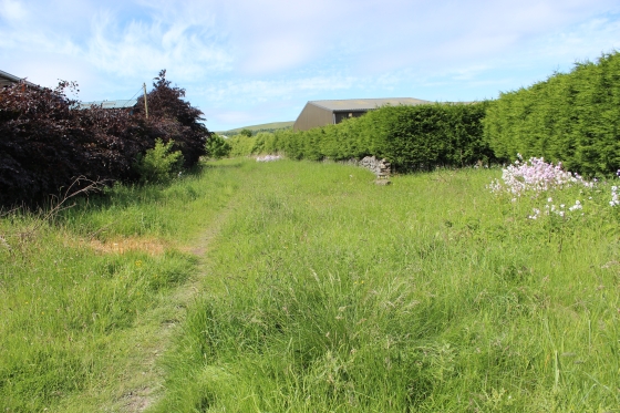
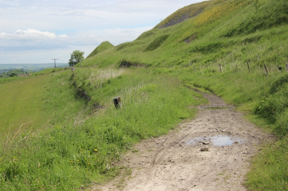
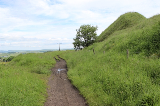
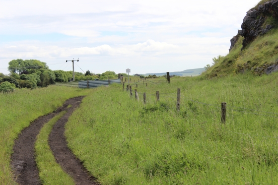
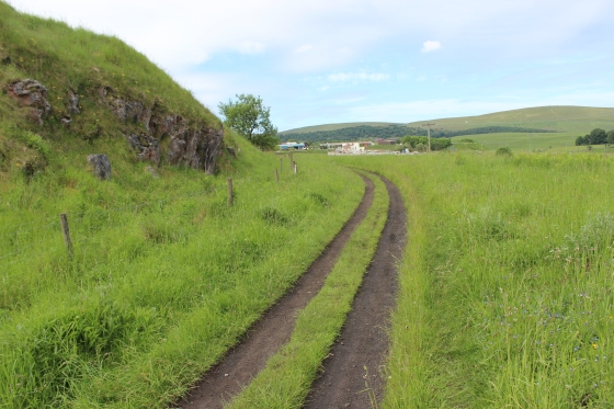
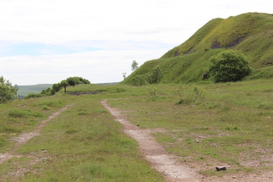
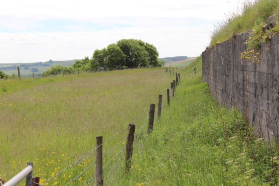
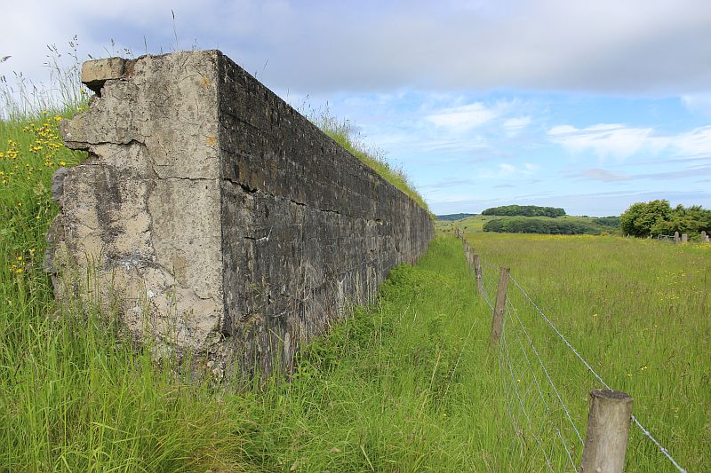
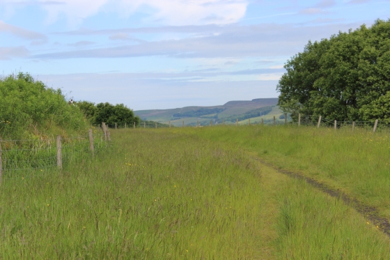
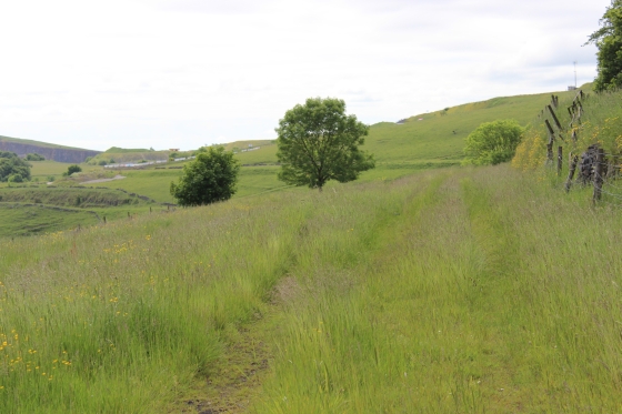
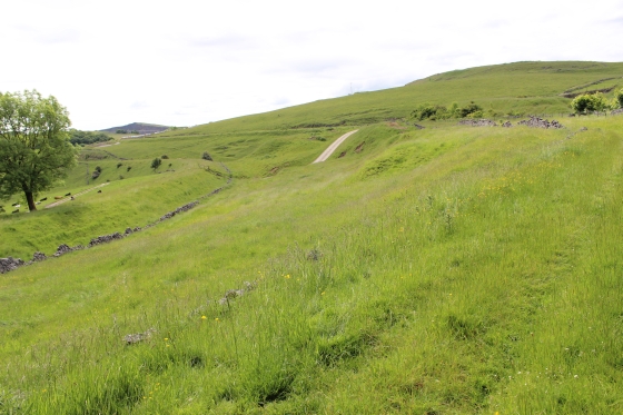
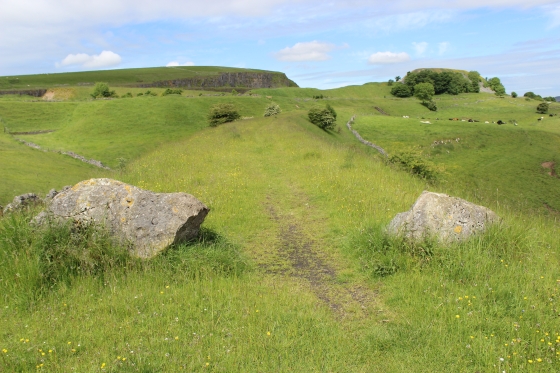
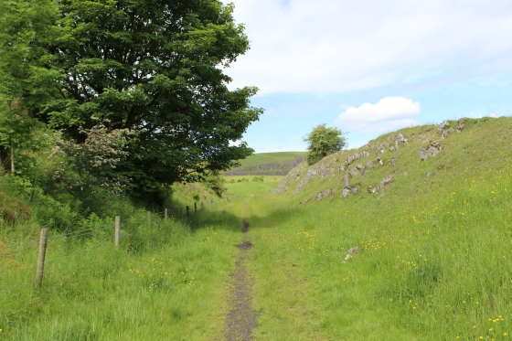
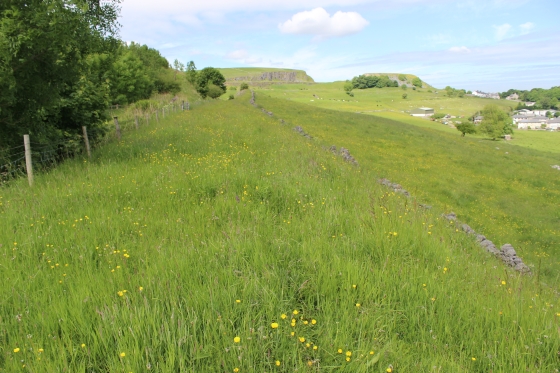
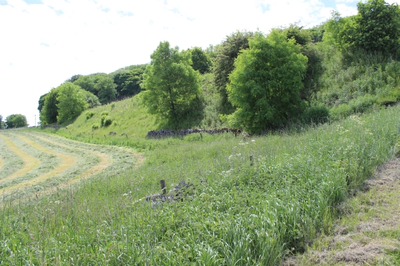
Views from the track bed.
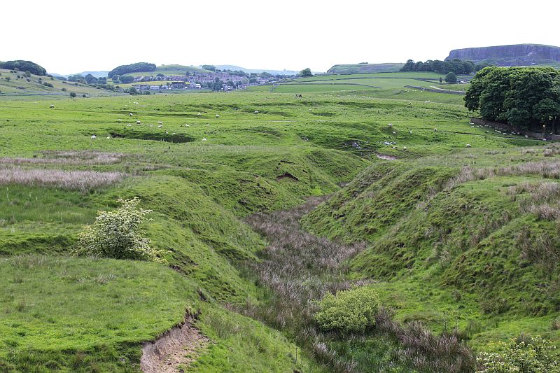
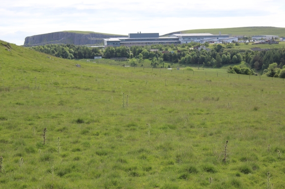
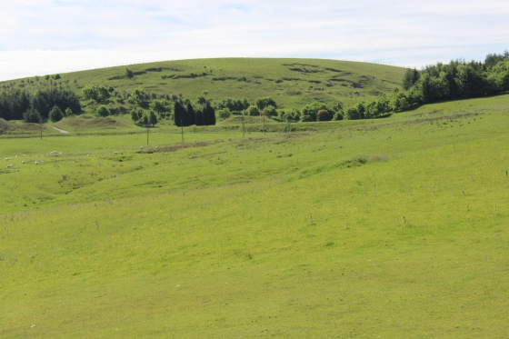
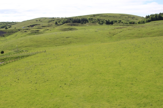
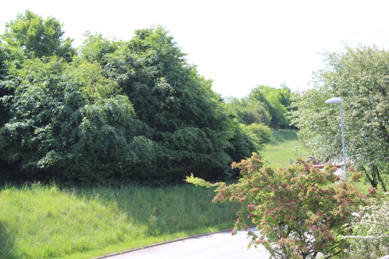
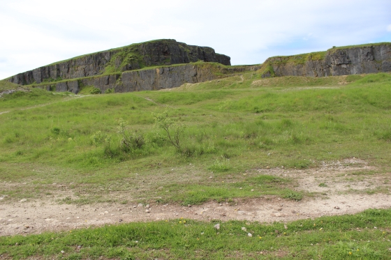
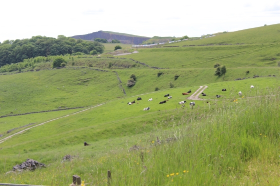
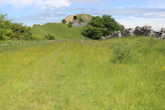
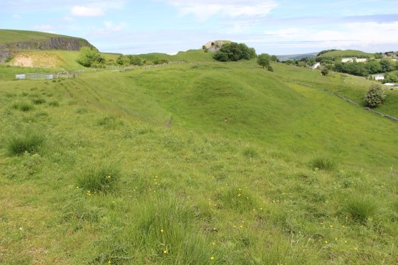
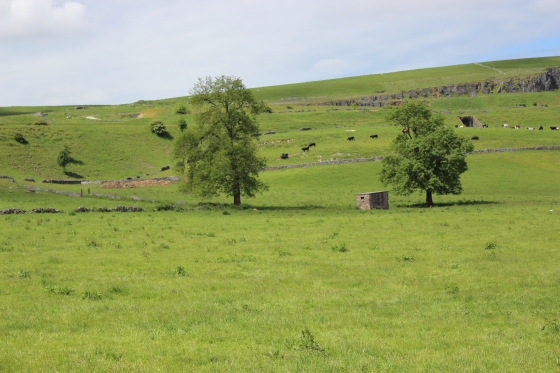
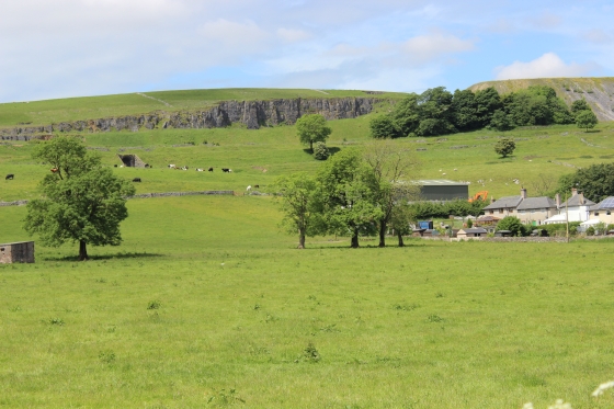
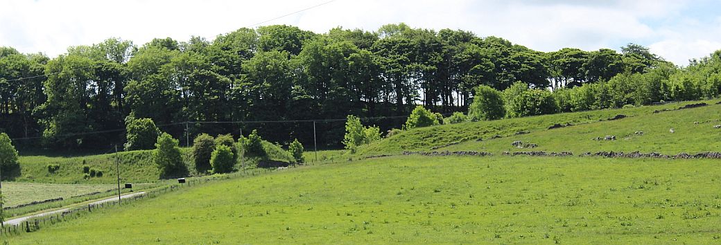
Interesting landscape on the east side of the track bed with Harpur Hill in the background.
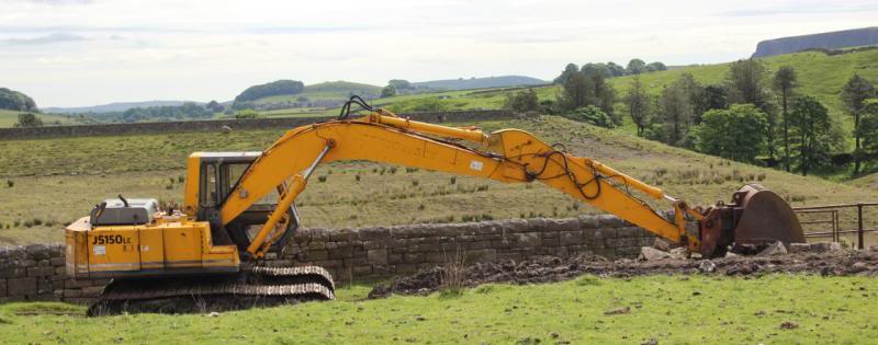
The digger just stopped for a rest as I approached.
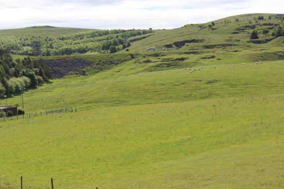
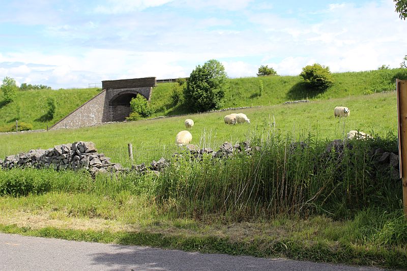
Right: Stanley Moor Reservoir. Appears to have been empty for some time and that work was going on to clean the bottom of the reservoir, which will get re-filled at some time.
There probably was a signal box between here and Ladmanlow Crossing and this may have been
the site! The track bed curves southwards and drops down to Harpur Hill.
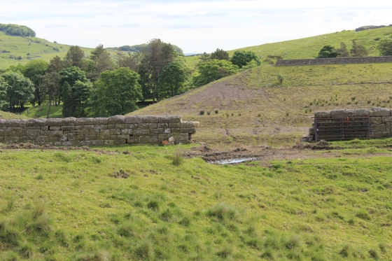
You pass a large reservoir which appears not to be in us.
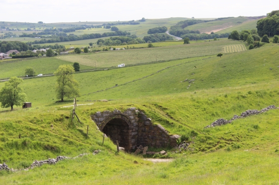
Both: The Track bed takes a right hand bend then drops down a shallow cutting to Harpur Hill.
 /
/ 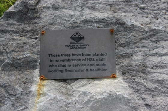
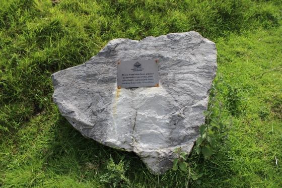
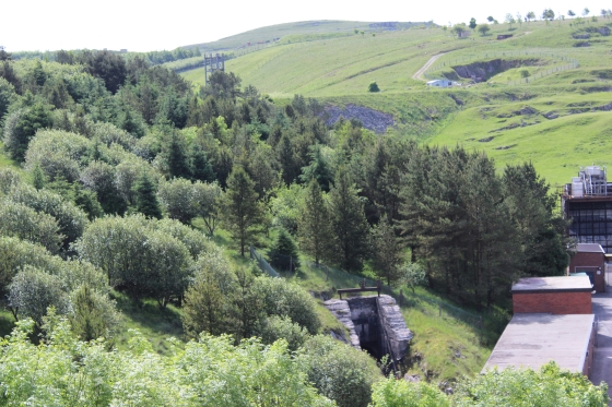
Dedication Plaque to H&S Staff who died in service. A lot of serious experimental work goes on in the plant.
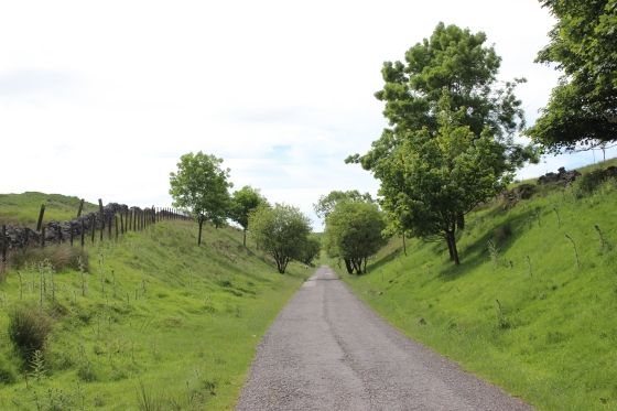
It is quite a steep drop to and through the Harper Hill site.
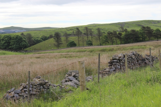
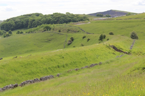
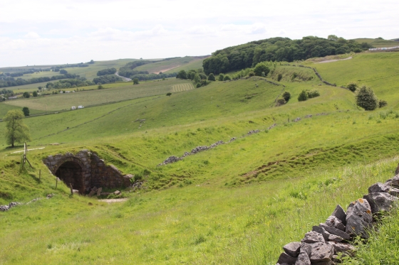
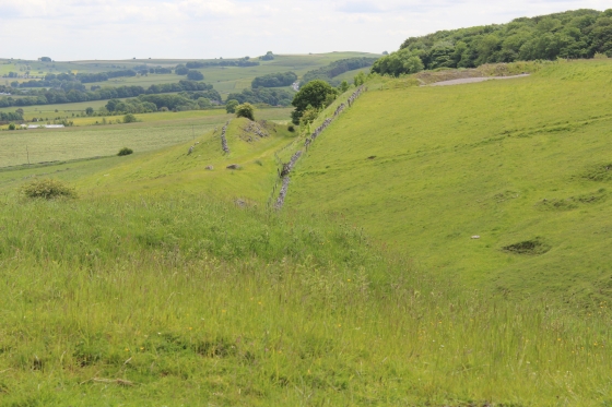
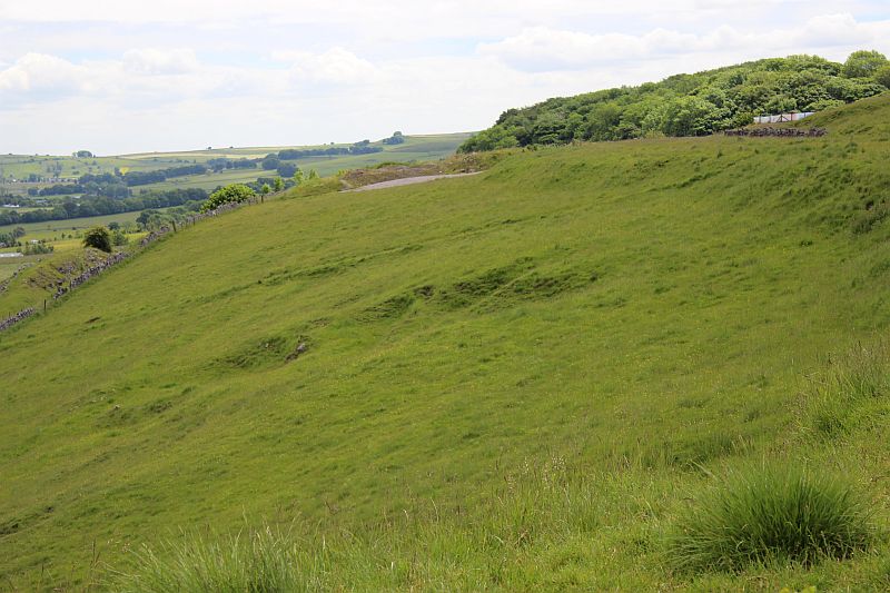
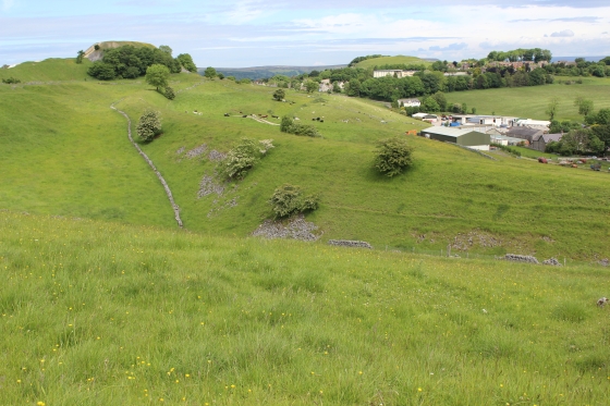
The original track bed curves around the south side of the site, while the newer divergence line is more to the north.
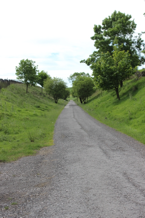
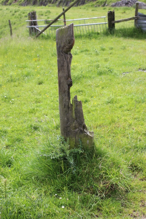
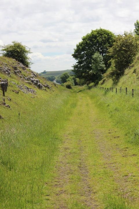
Left: Looking back towards Ladmanlow. Ditto.
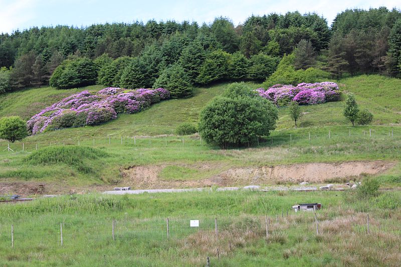
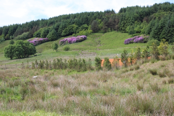
Colourful Roddodendron on the hillside.
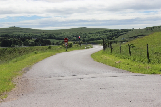
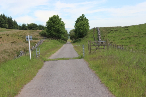
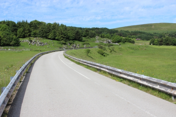
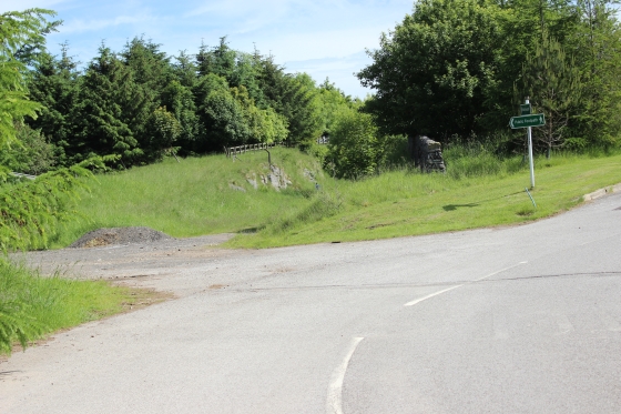
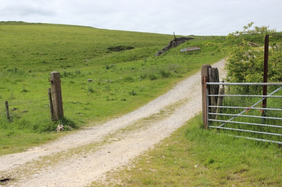
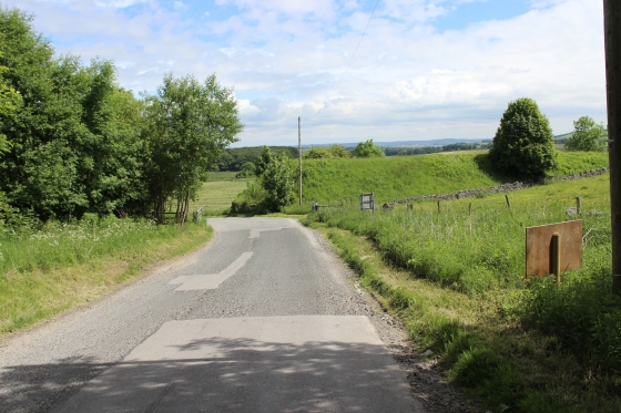
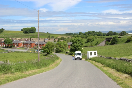
Approaching a level (road) crossing.
Left: The side road continued down to the left side of the trackbed. A red flag was flying and I avoided going down there. Right: Site where the original track bed was cut off from the new divergence track bed to the north
of Harpur Hill.
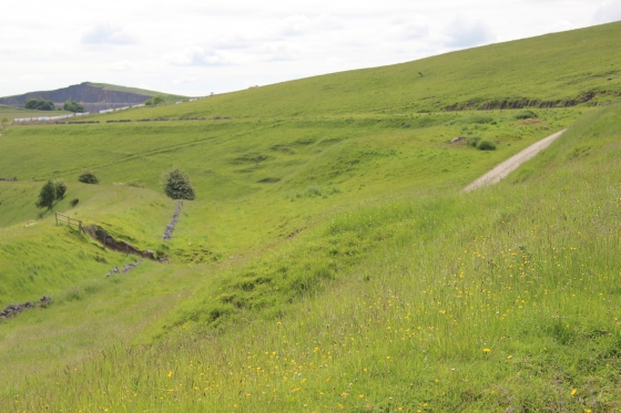
The old track bed on the right. It ran into a short cutting before taking a long curve around the H&S site.
The old embankment seen for the newer track bed.
Ditto.
Left: Looking back along the track bed to where the original line joined from the left. Right: The old line, with a quarry at the back is on an embankment as it turns to meet the south end of the new track bed.
The original line as it left the spot where the two lines diverged. Right: The old line ran left to right across the scene, while the new line came from the stone cutting just ahead.
Left: Where the old track bed ran a little eastwards before curving southwards to meet the newer line at Harpur Hill. Right: Opposite view where the old line headed southwards from the newer line.
The deep, rocky cutting of the newer line, heading south.
Left: A few rocks lying in the cutting. Right: Looking northwards towards Ladmanlow. The old line crossed horizontally.
Further into the cutting.
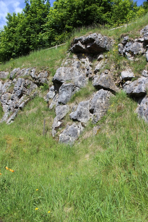
Rocks on the side of the cutting.
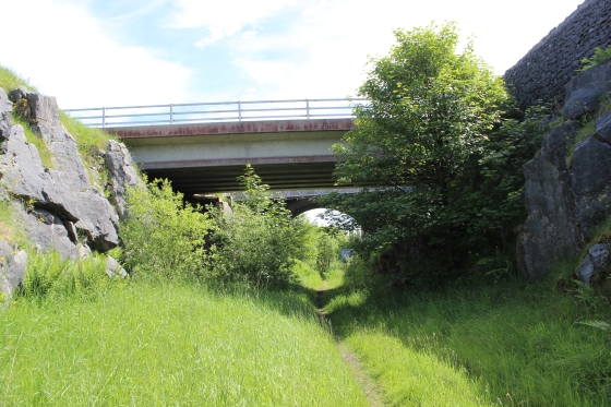
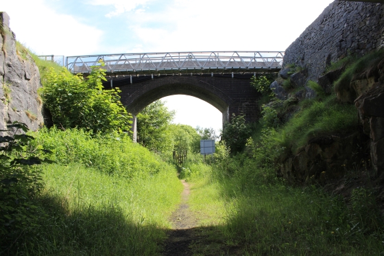
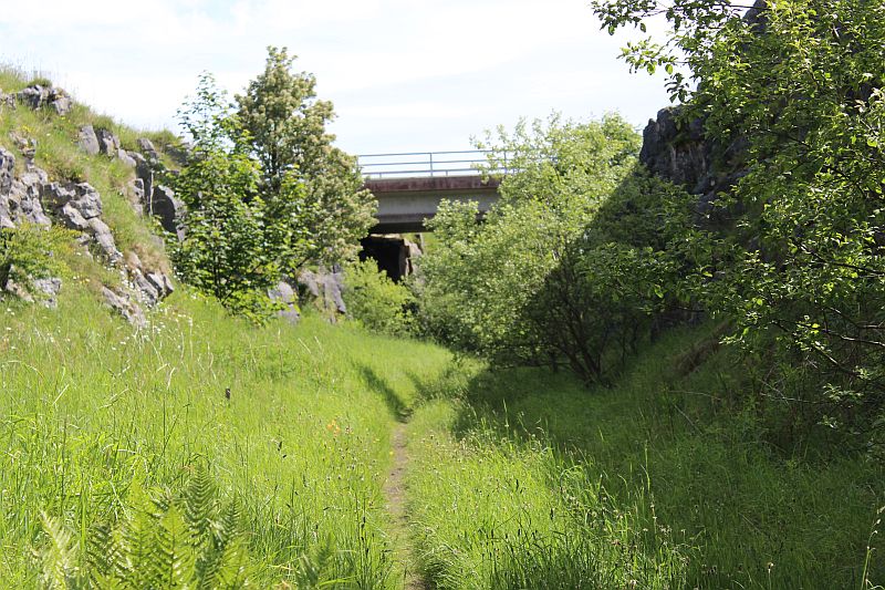
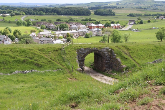
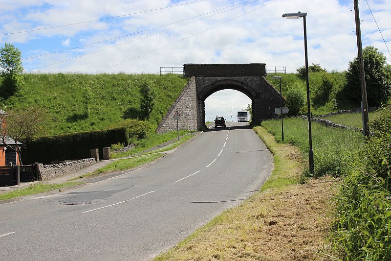
Left: The new H&S bridge with the older, original bridge just behind. Right: The original bridge, with a modern footbridge on the north side. Looking southwards.
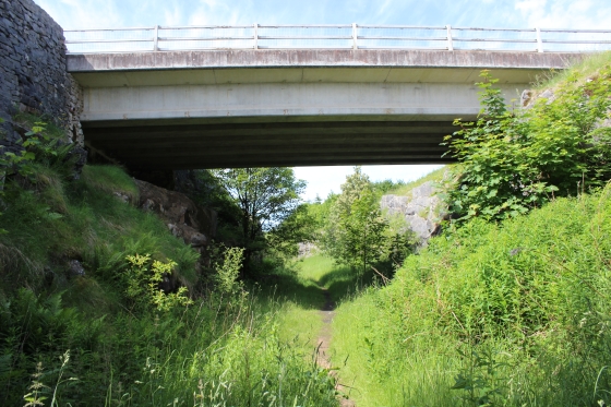
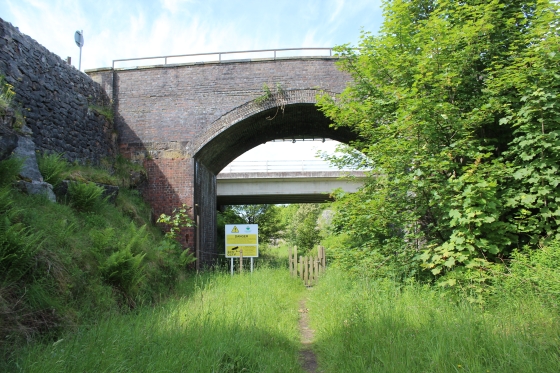
Left: The new road bridge (Looking Northwards). Right: Old & New bridges (Looking southwards).
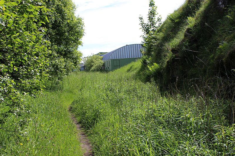
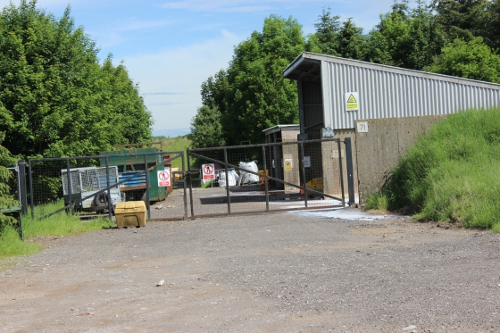
Left: The new road(a) built for the H&S Laboratory. Right: I think the narrow lane is what you should take to get back onto the track bed beyond the Lorry Park that stands on the trackbed.
Left: This is the spot where the old and newer routes came together plus there were a number of short qurry spurs
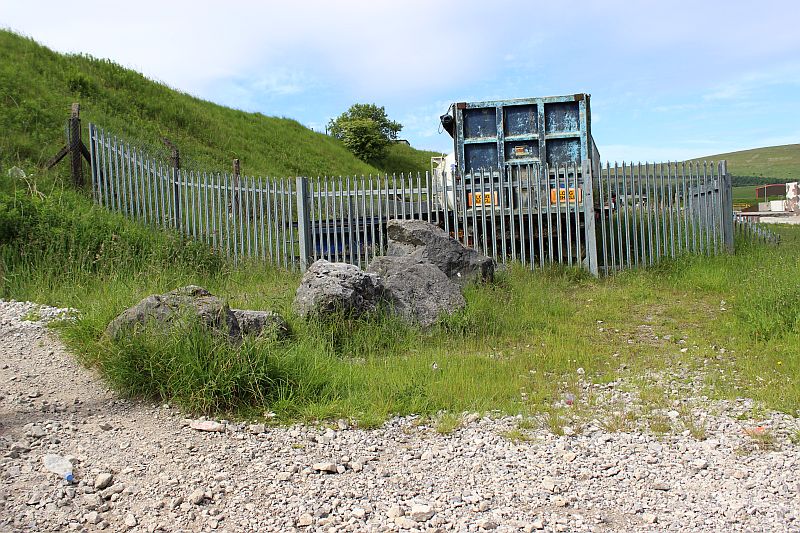
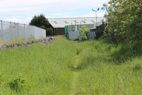
The Lorry Park fence with just a narrow gap to squeeze through. On the left by the fence post. If that gets closed-off you will have to find another
way around, which should be from the narrow lane mentioned above.
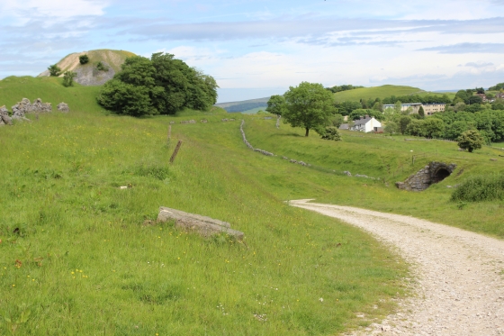
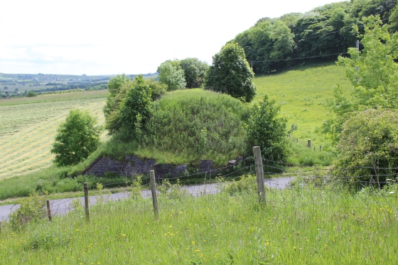
/The site of Hoffman's Kiln. The track bed turns directly south from here, around Harpur Hill.
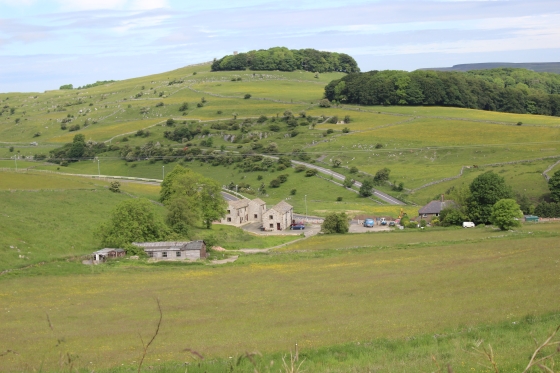
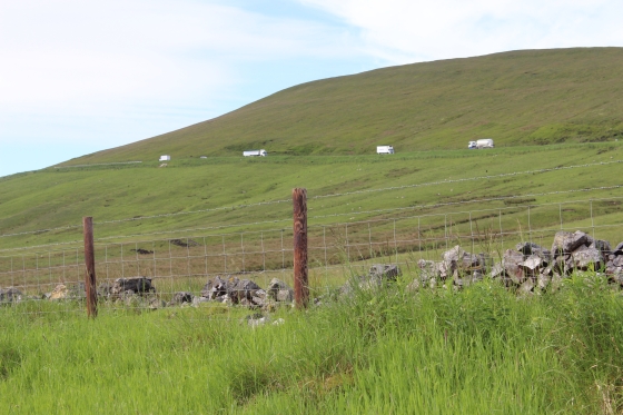
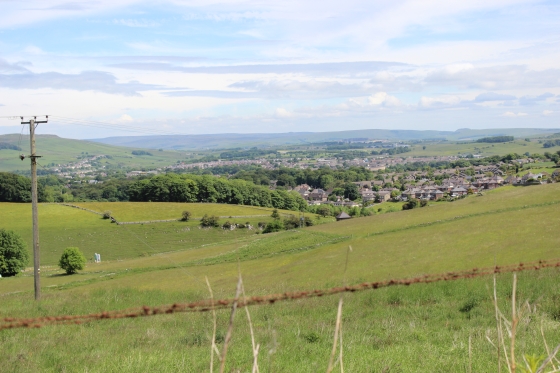
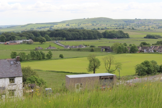
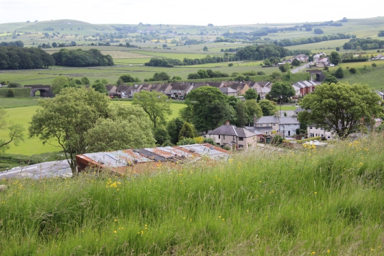
Views of Harpur Hill District (Northwards) from the track bed.
The two track beds. Left: Southwards. Right: northwards.
I didn't realise it at the time but I should have stayed on the far left, which is the actual track bed. The path on the right lead you to two loading platforms but unable to get back onto the actaul track bed.
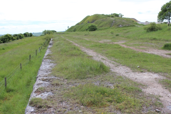
Left: The long loading platform at Harpur Hill Quarry. Right: There is a short gap then a smaller loading platform at the south end.
This is where I realised I made a mistake and was following the quarry side instead of walking the old track bed, which is on the left betweeh nthe fence and the trees.
I decided to stick with it to see where it led to.
Looking back towards Ladmanlow.
Left: The rocky summit of Harpur Hill. Right: Remains of loading bay.
This is where you need to get back onto the track bed as, is shown on the right. The fence gets closer and closer to the quarry embankment and stops you going any further. It is a strong fence
with barbed wire which is dangerous to try and climb over.
The loading platform face, (Looking southwards) where wagons would have lined up to be loaded. The main
track bed was on the right.
From this point the original and newer lines met a Harpur Hill Junction. The old line, which closed in 1892 was reopened in 1907 as far as Hillhead Quarry, while the newer line ran next too it.
Right: The original track bed runs straight ahead while the newer track bed is seen lower down and going into a cutting towards Hurdlow.
Left: From the original line the present day 'New High Peak Railway' is in in the center background. Right: Overlooking the southern end of Harpur Hill District.
Left: From the old line with the newer line running on an embankment then into a cutting in the distance. Above is the old line as it goes to Hillhead quarry, in the distance.
Right: From the same spot. The south parameter of Harpur Hill District, with the present working line in the middle ground.
Left: Hllhead Quarry branch above and the newer divergence on the embankment below (left) Right: The divergence line coming off the embankment and into the cutting leading up to the
over bridge at Hillhead Lane.
Left: The older route towards Hillhead Quarry. Right: The under-bridge on the newer divergence route.
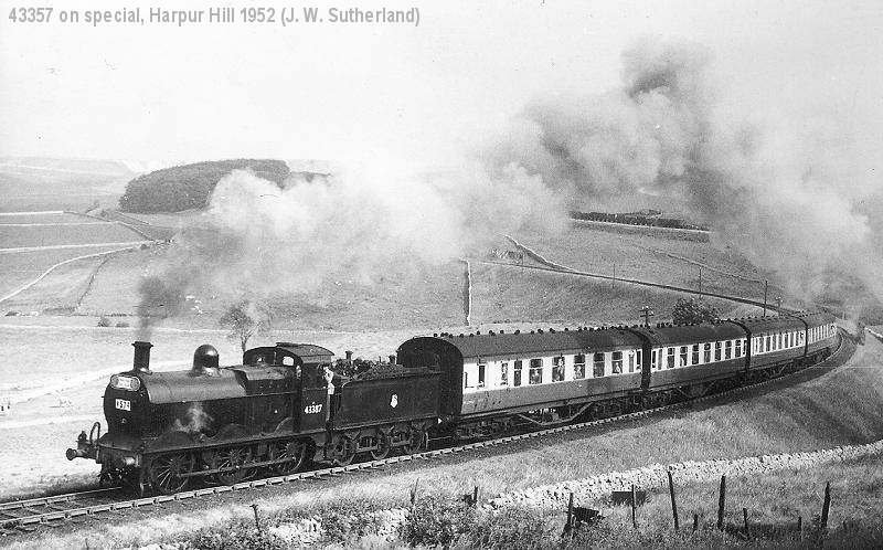
Climbing the curve from Hurdlow, past Harpur Hill to Ladmanlow on the 27th July 1952. (J. W. Sutherland). An excursion to Ladmanlow.
Similar view to above left; A train is being hauled over the original route, towards Hillhead Quarry, with the divergence line below, left on the curve
heading through the cutting and on to Hurdlow in March 1967. The smoke on the right suggests that there is a banker on the rear of the train.
(J.W. Sutherland).
Both track beds, looking back towards Harpur Hill Quarry.
Left: The newer divergence track bed, with the present working line in the background (Southwards) . Right: The original track bed. Northwards)
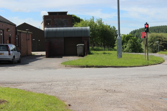
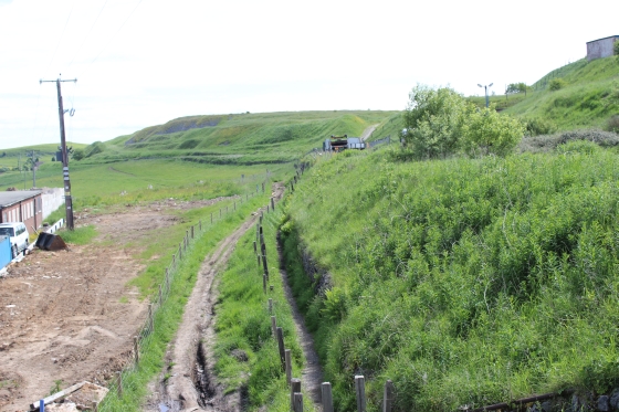
The gates of what was a quarry level crossing on the old line, at his point.. The track uns down to the main road, below the newer track bed. hey obviously wised to avid another
level crossing but the expense of the under-bridge probably never paid for it's self as the route lasted so short a time, when the New High peak Line was built.
From the older route, which curves around the top of the photo, while the divergence line runs through a cutting at a lower level. Right: Hillhead quarry is seen up ahead, on the right.
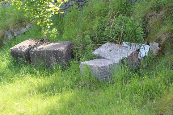
A wooden Sleeper, planted on the track bed but slowly weathering away.
The old track bed towards Hillhead Quarry.
Left: I got back onto the divergence line at this point as I didn't want to go into the quarry due to security. Right. Both lines running back towards Harpur Hill Quarry.
Left: These two rocks on the divergence line are intereting in that they could not have been there when the line was in operation. It must have taken qute a bit of effort to get them there.
Right: The cutting on the divergence line, looking towards the gap over Hillhead Lane just ahead.
The cutting looking southwards towards Hillhead Lane.
Two views looking back towards Ladmanlow. Left: The old track bed is seen just above the newer one on an embankment. Right: Northwards along the divergence line.

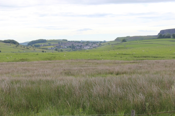
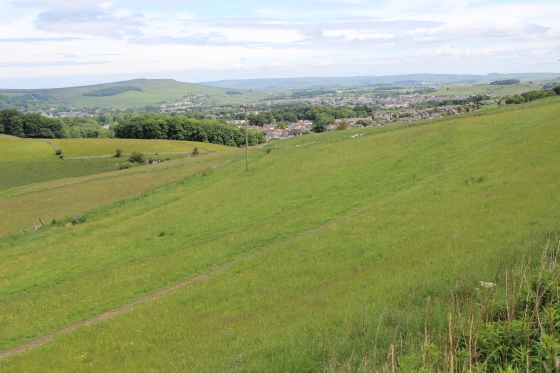
Harpur Hill District and Hillhead Lane.
The gap over Hillhead Lane. The track bed continues south and stops by the present working railway.t was my intention to complete my walk over the section but found it impossible to get up onto the track bed as it
was so steep and overgrown. However, there must be a way as I know it has been walked by others. Perhaps it's easier before the height of Summer growth! Right: The south embankment.
Left: The gap from the west side on Hillhead Lane.
Left: The newer track bed at the gap. Looking northwards. Right: The path from the north side that takes you down to Hillhead Lane.
Left: The embankment southwards from Hillhead Lane. Quite overgrown by the road side. Right: The gap, looking up Hillhead Lane.
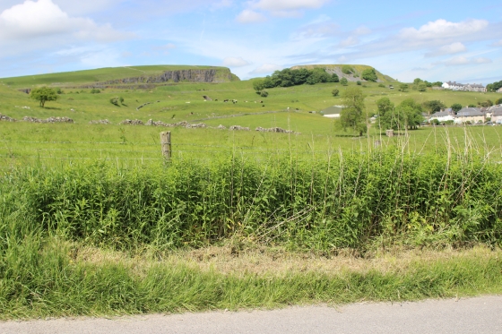
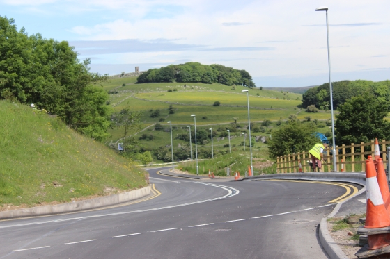
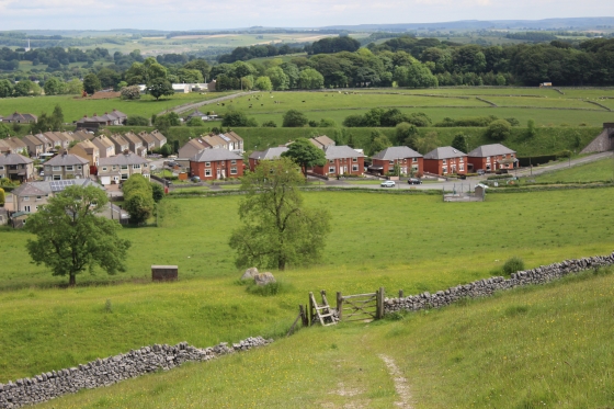
Left: The two track beds are seen in the distance, from Hillhead Road. Right: The present working railway by the south edge of Harpur Hill, from Hillhead Lane. Heading towards Buxton.
The two track beds, from the main road (Burlow Road).
Nice to see a working raiway after the sad remains of the older track beds. It is a single line, running from Hurdlow to Buxton, with numerous heavy
stone trains each day. The older routes would have never have handled the size and weight of present day stone trains. As with the Dundee & Newtyle
Incline Railway of the same period (1831) it appears that the C&HPR suffered from the rapid change in technology of the Industrial revolution, where
when designed it was till mostly Horsepower and by the time the first route was built steam locomotives became more powerful and did away with most
of the Inclines. By the time the newer routes were completed locomotives became even larger and more powerful and less steep and tight curvatures
required easing out. Progress was at a slower pace that we complain about today in the computer age, but life was also a lot slower back then and the
changes, as they occured affected lives just as it does today.
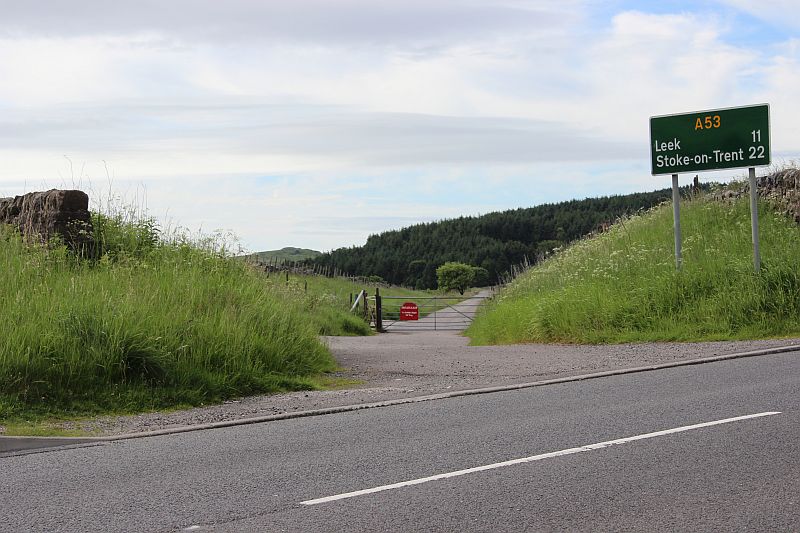
The gap on Hillhead Lane as seen from the main road.
This is where my walk terminated on this ocasion. From here it was just a short wal up the road to the bus stop. There is a half hourly service on the hour and half hour
between Harpur Hill and Buxton. I had planned to walk down to where the old track bed met the new High Peak line but couldn't get up onto the track bed on Hillhead Lane.
There must be a way as others have done it but on this occasion I couldn't find a safe way to get here. This is terminated my walk a good hour and more early, which was a
disappointment. However, as a bus turned up within minutes of my arriving at the bus stop I decided to get back into Buxton. I arrived at the station just in time to catch the
12.26 train so decided to go into Whaley Bridge for an hours' walk round, which I enjoyed. The 13.44 got me to Stockport within moments of a Manchester- Paignton train
arriving and so, caught that. It meant a change at Birmingham, but as the journey progressed, it was such a beautiful day that I decided to stay on the train down to Bristol
Parkway then caught a Cardiff-Paddington train back home. I hadn't been down the Cheltenham route for a while and it was nice to see the route again and in such fine weather.
From Hillhead Lane the old C&HPR track bed is lost below a massive quarry that has developed since the line was abandoned. The sections of the route left for me to look over
is from Dowlow to Parsley Hay, but is too far for me to do in one day. Therefore I shall have to look into where to find a Hotel or B&B close enough to manage it from there.
Probably not now until next year.
=====================================================
My Thanks To......
Whaley Bridge Photos for their kind permission to use old photos of the Whaley Bridge to Shallcross section. These and many old photos of Whaley Bridge can be viewd at:
http://www.subn.org/whaleybridgephotos/trains.php
John Evens (JodrelAviator) for the use of his xcelent colour photos of the C&HPR in the 60'd & 70's. John's Fickr photods are at: https://www.flickr.com/photos/the-evanses
John Neave for his kind permission to use a number of his 1960's photographs when the railway was still in operation. Check out John's ''Going Loco'', which includes a C&HPR history. At....
http://goingloco.neave.com/
Mark Norton for the use of 1940's photos by his late father Dennis J. D. Norton. http://www.photobydjnorton.com/CHPR_Menu.html#Links
To the son of Geoff Plum for the use of his late father's phots. Plumb Loco is at: Plumb Loco (By Geoff Plum) Photograhs
Reading: The Cromford & High Peak Railiway by John Marshall. Published by Martin Bairstow. Printed by The Amedeus Press 2011.
Other Railway Walks....
The first passenger railway in Scotland opened in 1831, which had three inclines operated by stationary steam engines. The main source of income was from
the numerous stone quarries in the area and local farming produce. Passenger numbers were always sparse.
The inclines were abandoned in the mid 1800's by new deviations that allowed through locomotive running.
The line also included the Dundee Law (Hill) tunnel built at 300ft above the City. Both the north & south portals of the tunnel are buried below modern housing schemes.
Passenger services ended in 1955 and the line closed completely in the mid 60's under the Beeching Ax.
Unlike the C&HPR none of the Engine houses were preserved. The inclines can still be followed but sections have been back-filled or ploughed over
This web site tries to cover as much as possible.
Boddam To Ellon Branchline Built by the GNSR in the latter part of the 20th century. The passenger service only lasted until 1934 but goods remained up to total closure in 1949.
The GNSR built a large Golf course and Hotel at Cruden Bay, with an electric tramway between the station and hotel. All that remains today is the Golf course. One of the two elctric trams has been
fully renovated and is on show at the Grampian Transport Musem in Alford.
Other web pages....
Kittybrewster Memories Kittybrewster Loco Depot, Aberdeen.
Tivoli Memories The Tivoli Theatre, Aberdeen.
Hosted by www.theatreorgans.com
This page brought to you by:
VintageHammond.Com - We Buy-Sell-Trade Vintage Hammond Organs