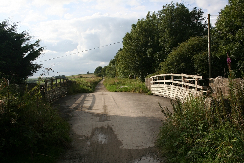
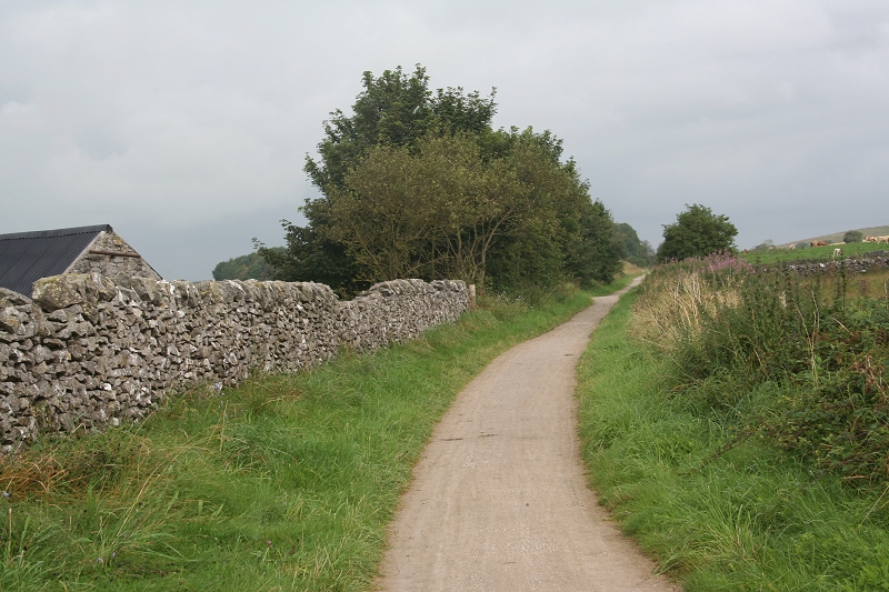
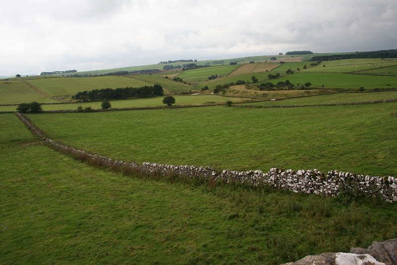
Looking north from the over bridge at the north end of Longcliffe Station Site, towards Minninglow.
HIGH PEAK RAILWAY WALKS
(From a walk on Sunday 27th August 2012)
LONGCLIFFE TO MINNINGLOW
On Sunday 27th August 2012 I walked the High Peak Trail, starting from my Hotel in Wirksworth and joining the Trail at the Bottom of Middleton Incline and walking to Parsley Hay via
Hopton, Minninglow, Gotham Curve and Friden. The walk took 10 hours and 55 minutes, starting out at 08.30, reaching Parsley Hay at 13.30 and departing at 14.05 after a rest and
refreshments. I arrived back at Wirksworth at 19.25. The outward walk was in very bleak and wet conditions, only easing off between Friden and Parsley Hay. However by the time I
started on the return walk the weather changed considerably and I enjoyed a very pleasant warm and sunny walk back. The afternoon sunshine and the evening light was very welcome
after the earlier soaking.I started taking photographs from Hopton and have added new photos to the Middleton to Hopton and Hopton to Longcliffe sections. Hovever, from Longliffe to Parsley Hay covers a
brand new area for me and I have broken this into two new sections, Longcliffe To Minninglow and Minninglow To Parsley Hay I have added some new photo graphs to the other
sections of the trail but this fresh walk.

Looking north from the over bridge at the north end of Longcliffe Station Site, towards Minninglow.
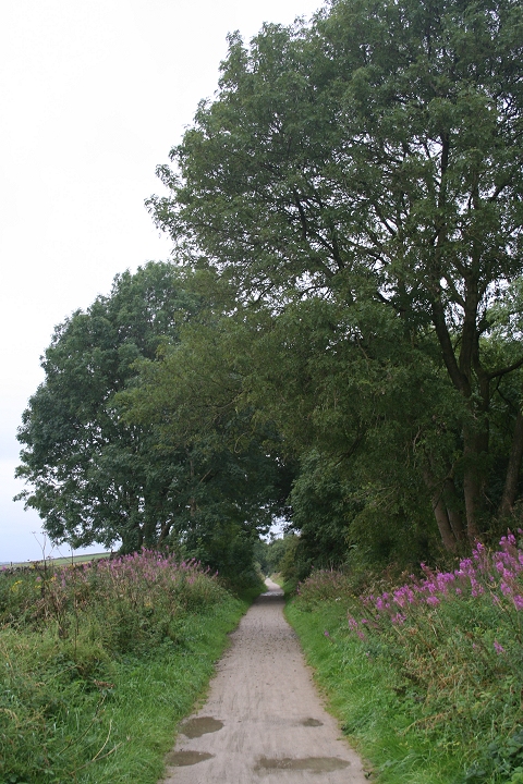
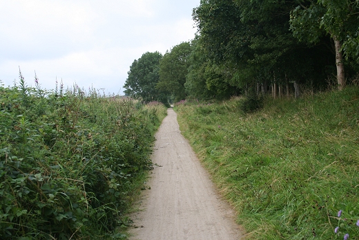
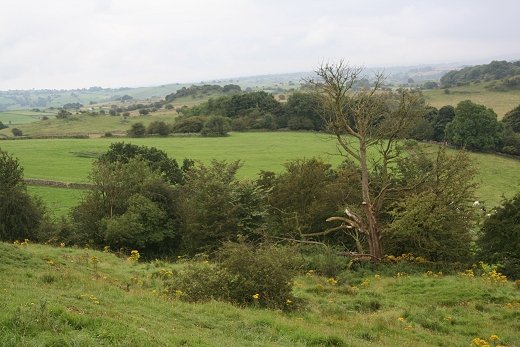
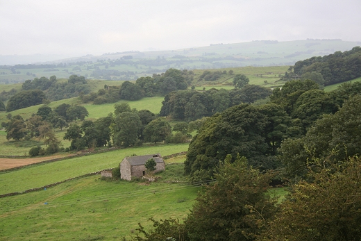
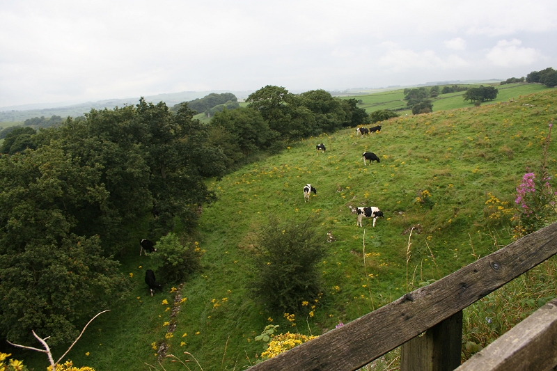
The track bed is over 1,000 feet above sea level and the surrounding countryside can be quite undulating.
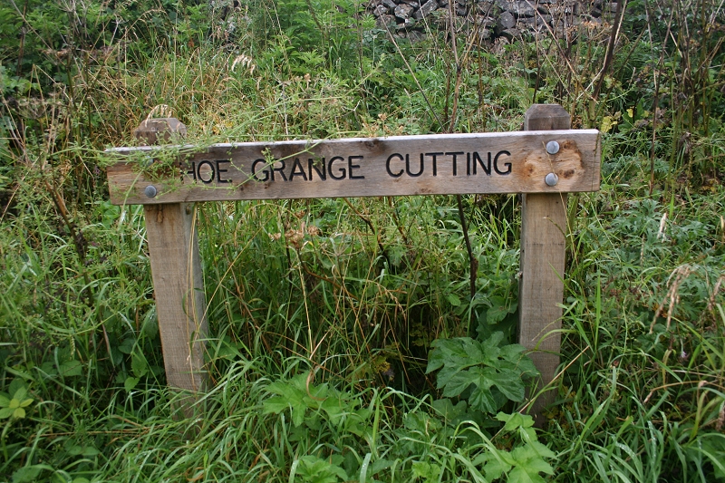
The cutting sign
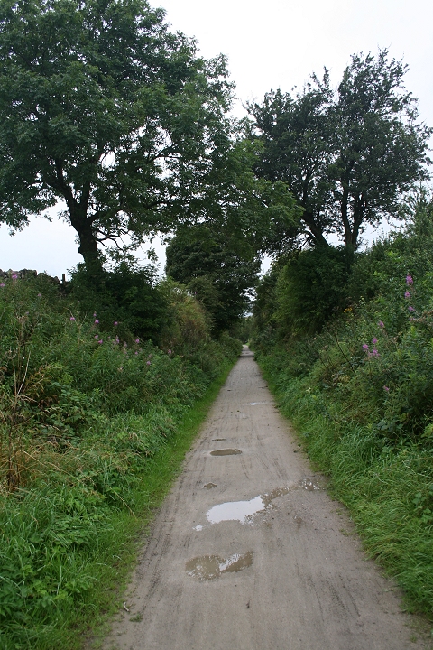
Looking north towards Hoe Cutting.
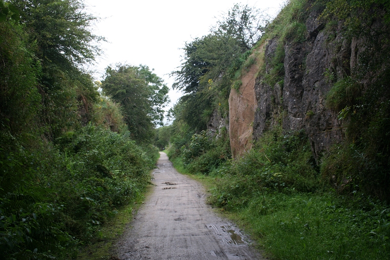
A Hessian covering stops rocks from falling onto the path.
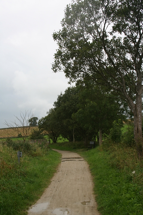
The next curve north of Hoe Cutting. The nearby village is Hoe Grange and there is also a
large quarry, which is still very active.
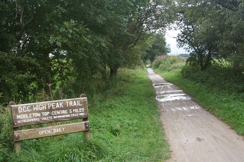
The first Five Miles from Middleton. Looking southwards.
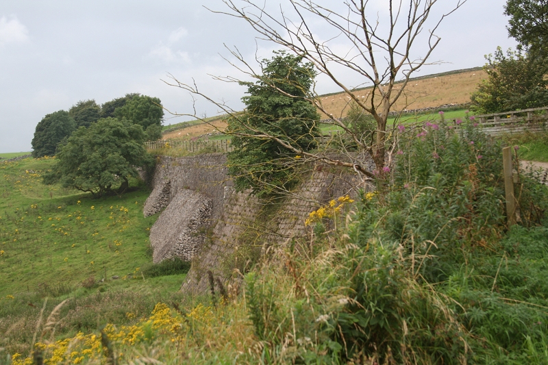
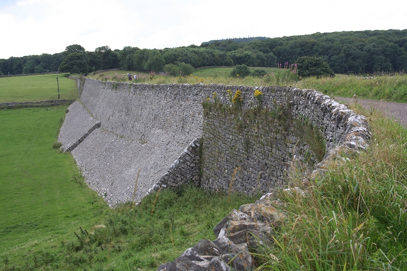
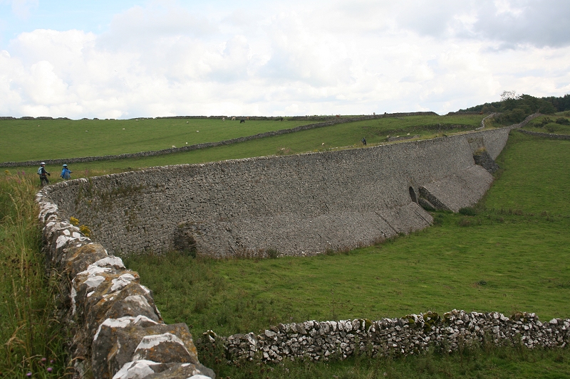
A short Stone Embankment Towards Minninglow.
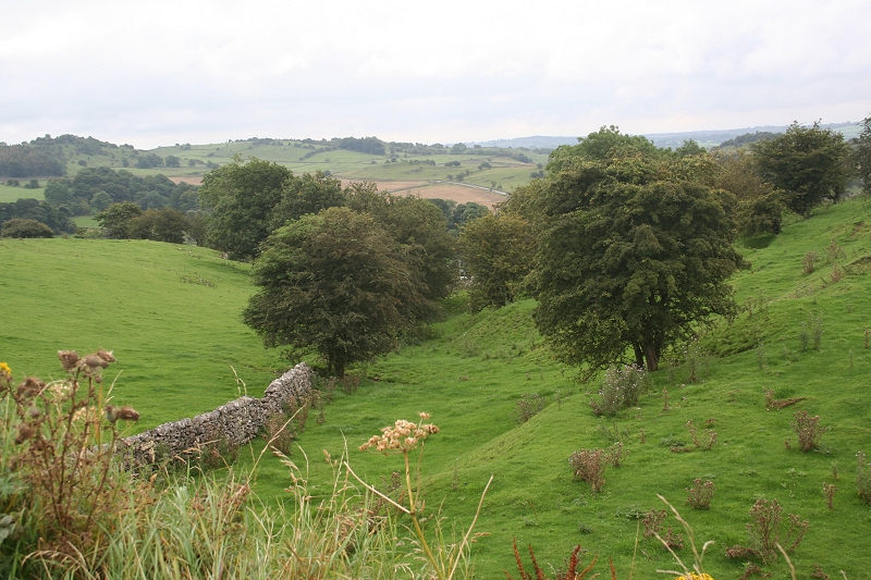
A southerly view from the stone embankment.
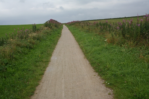
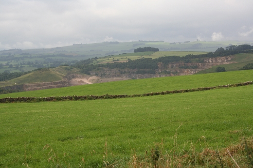
Another long straight northwards. On the south side is Hoe Quarry.
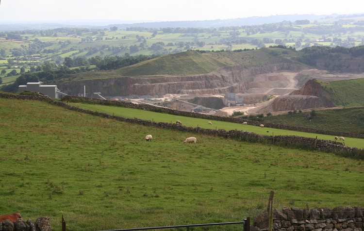
Hoe Quarry, to the north of Longcliffe. Aug. 2012).
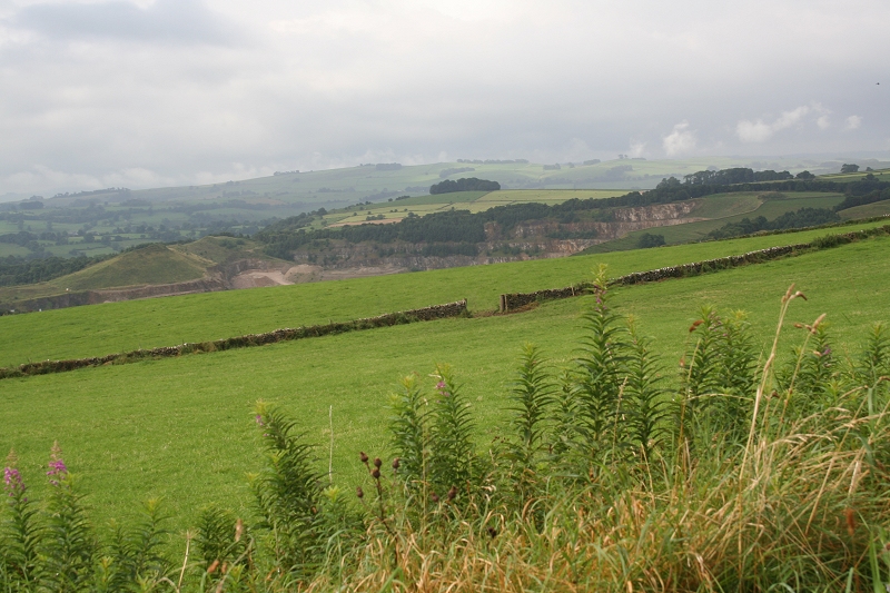
A view southwards overlooking Hoe Quarry.
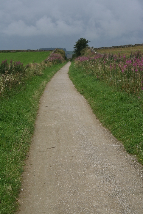
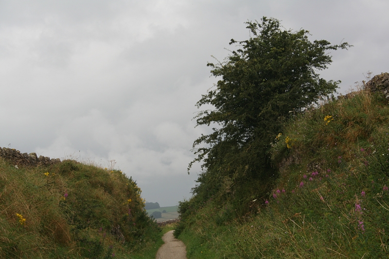
Northwards through the short cutting.
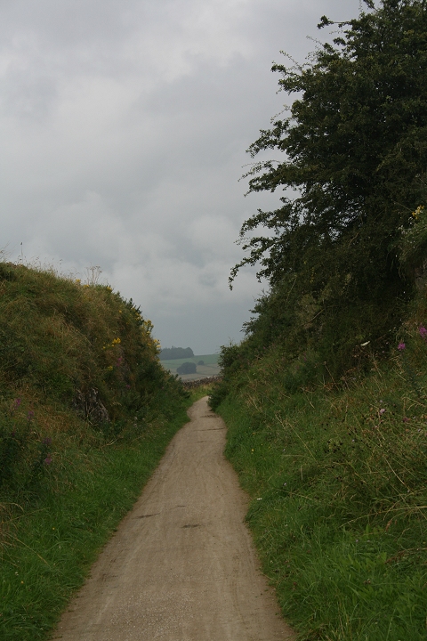
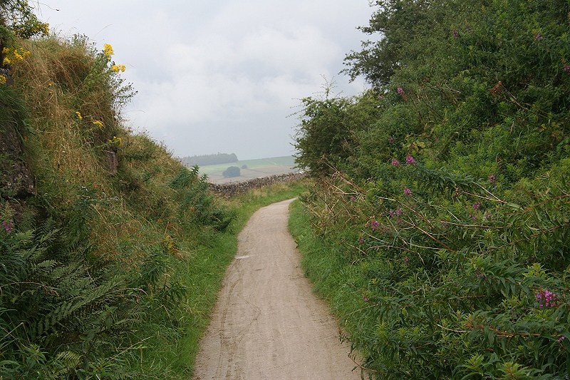
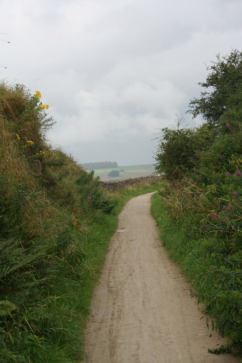
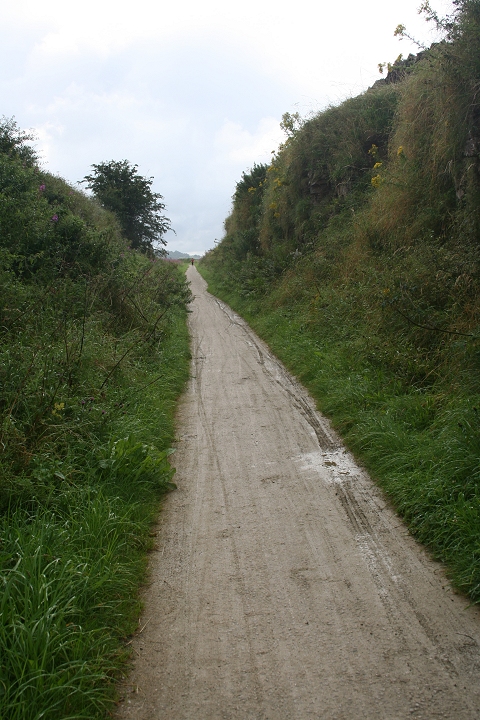
Within the cutting. Left: Northwards. Right: Southwards.
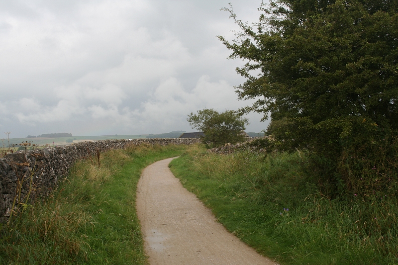
Another tight curve heading northwards.
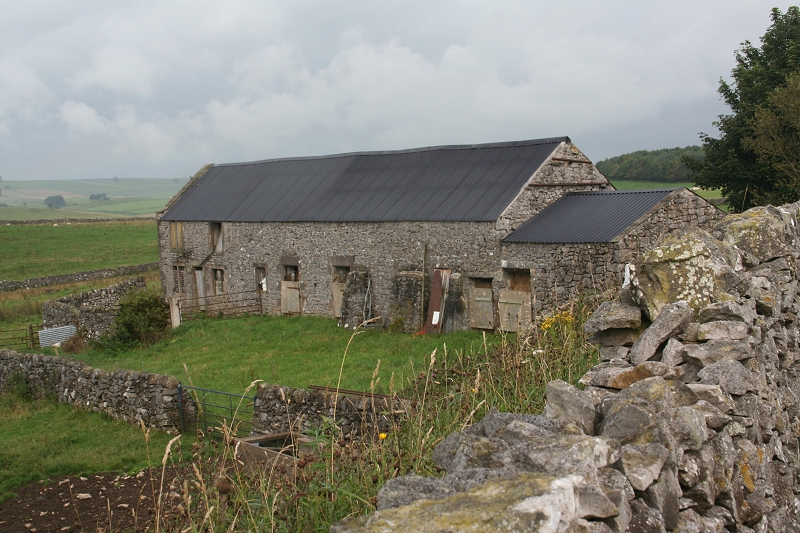
Passing what looks like quite an old farm building.
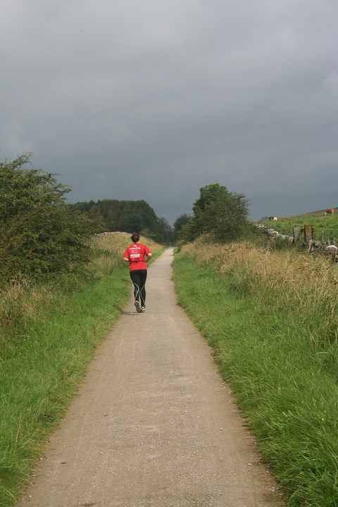
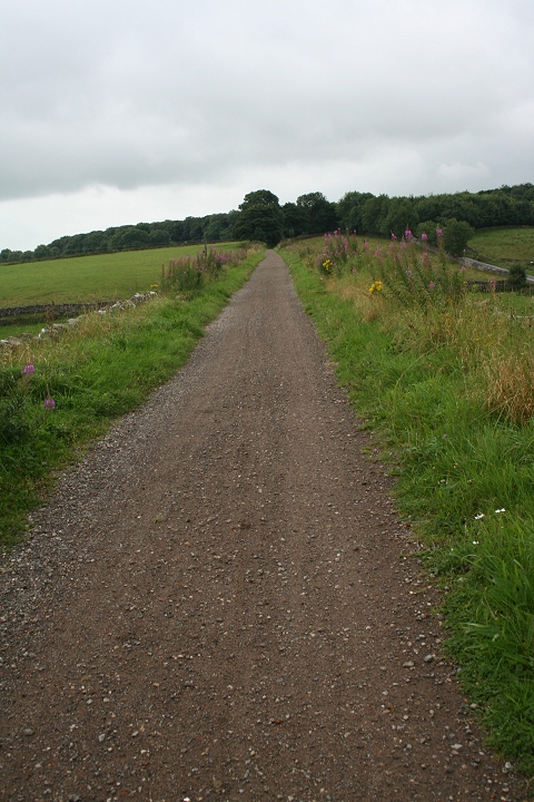
A runner on the long straight back towards the cutting and Longcliffe.
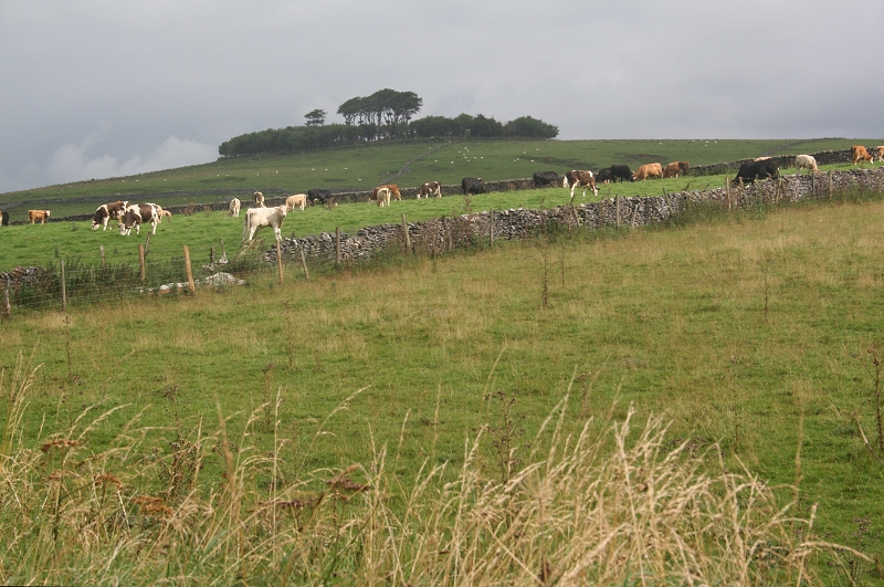
Minninglow Ancient Burial Mound.
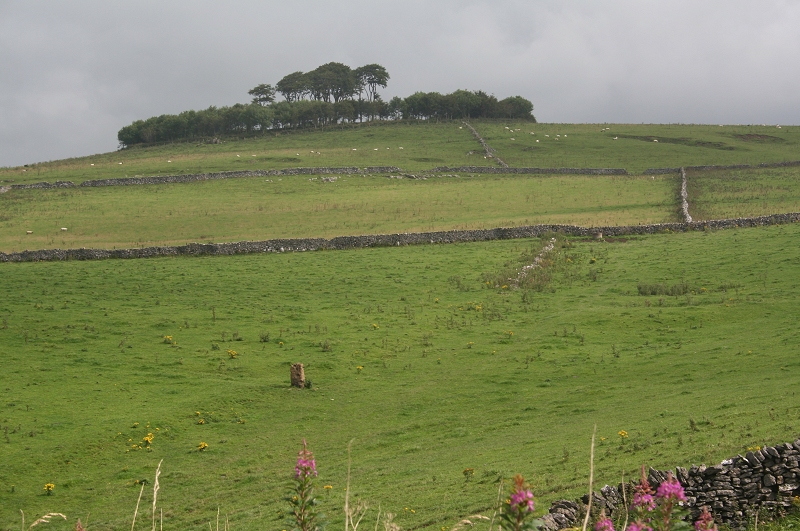
Ditto
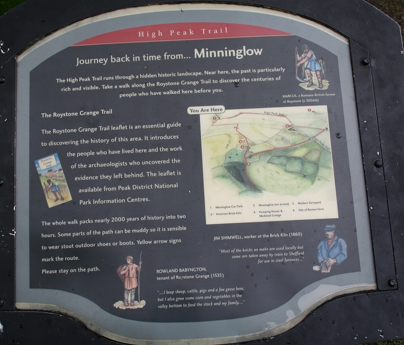
Minninglow Burial Mound (Information)
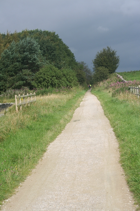
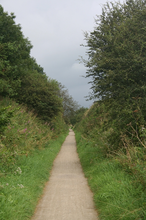
A very brief bright moment towards Minninglow
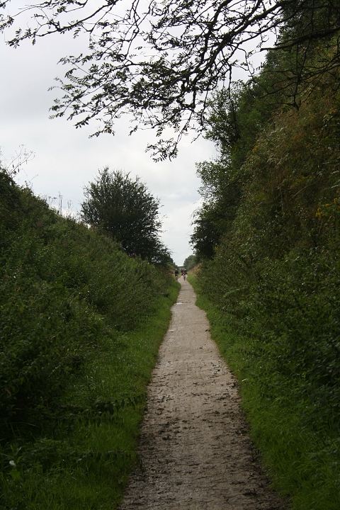
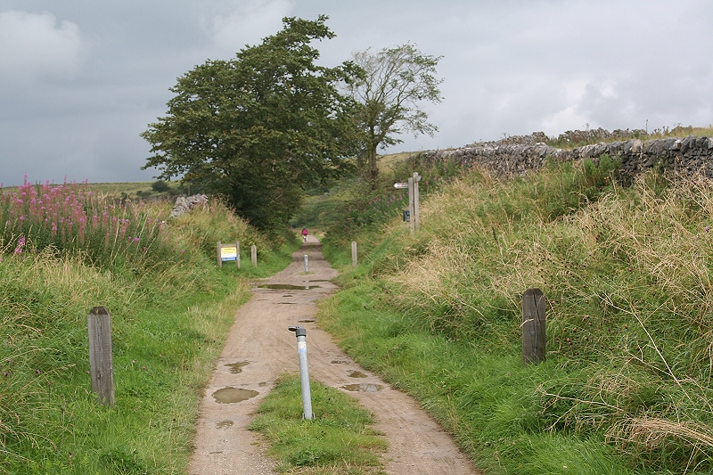
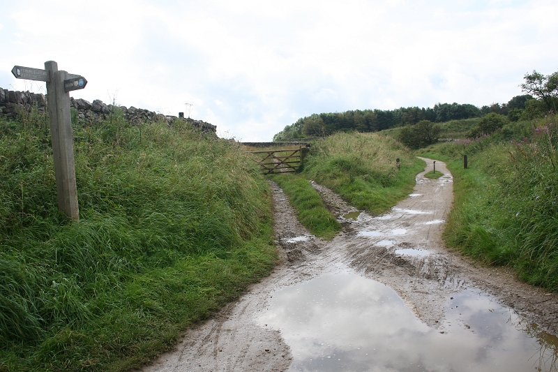
The Pennine Foot Path from Biggin, crossing the C&HP track bed. Southward.
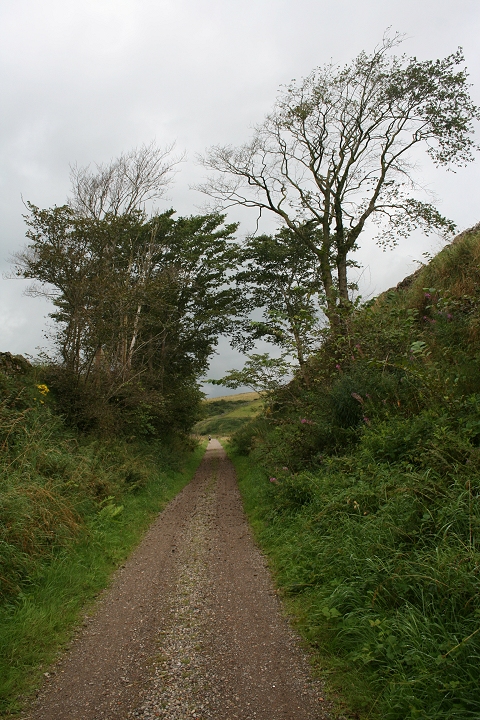
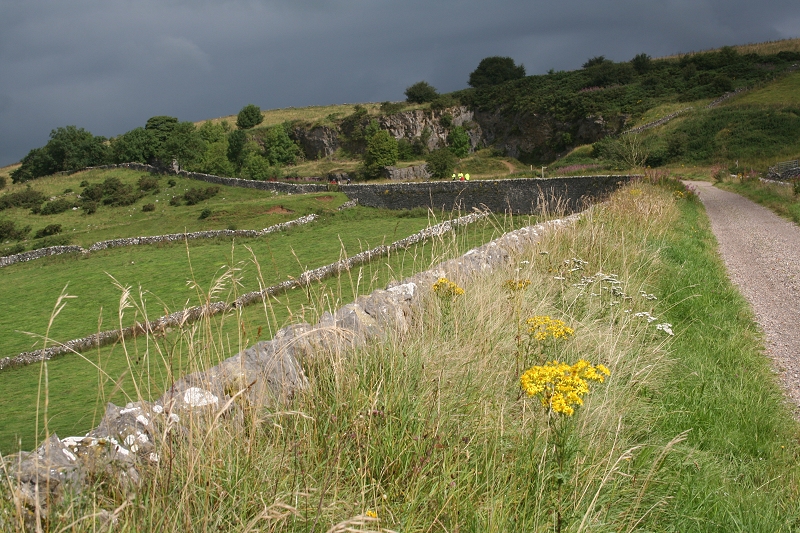
On north Minninglow stone embankment, northwards towards the old quarry. A slight break in the clouds gives a very nice contrast with
the overleaden sky.
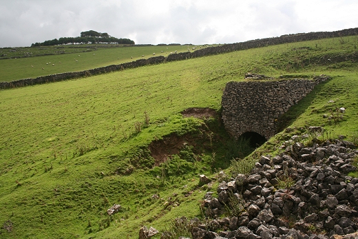
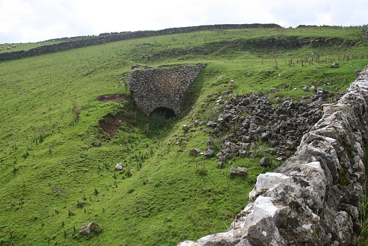
Alongside the north end of the northern stone embankment is the remains of an old Lime Kiln. The ancient burial ground is seen above, left.
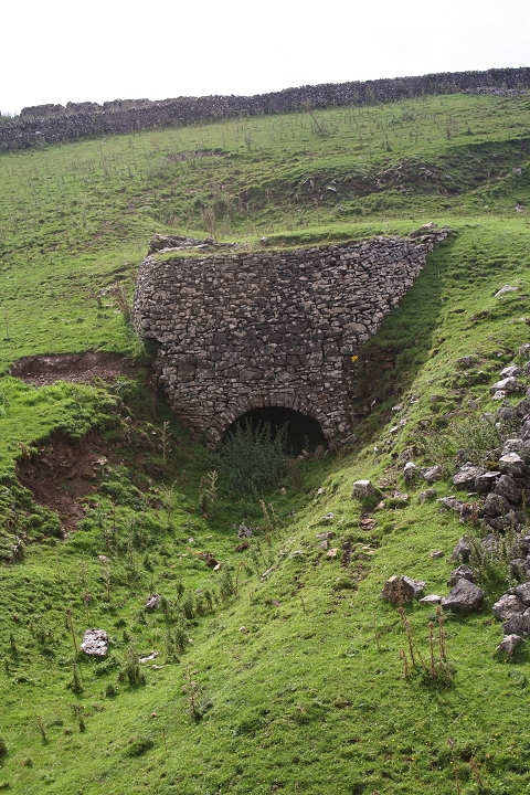
There is a pump house building nearby (not seen at this point) that brought water to the
quarry and kiln.
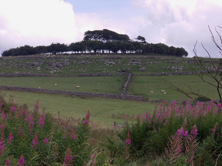
Minninglow ancient burial ground, showing rocky area on the north side (Cropped image from Camcorder). 26th Aug. 2012.
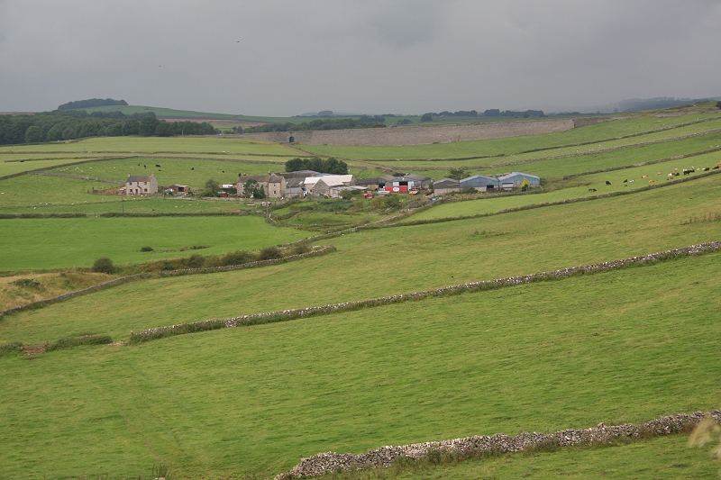
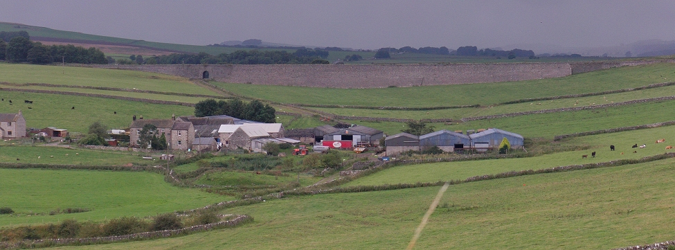
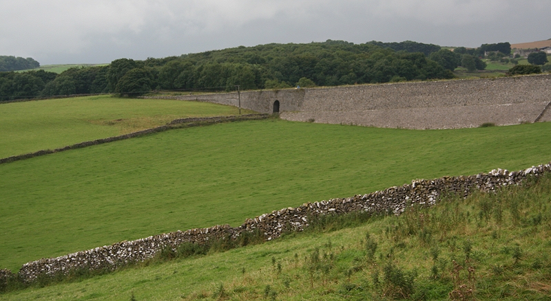
The South Minninglow Stone Embankment from the old quarry site, with the farm track tunnel, left of center.
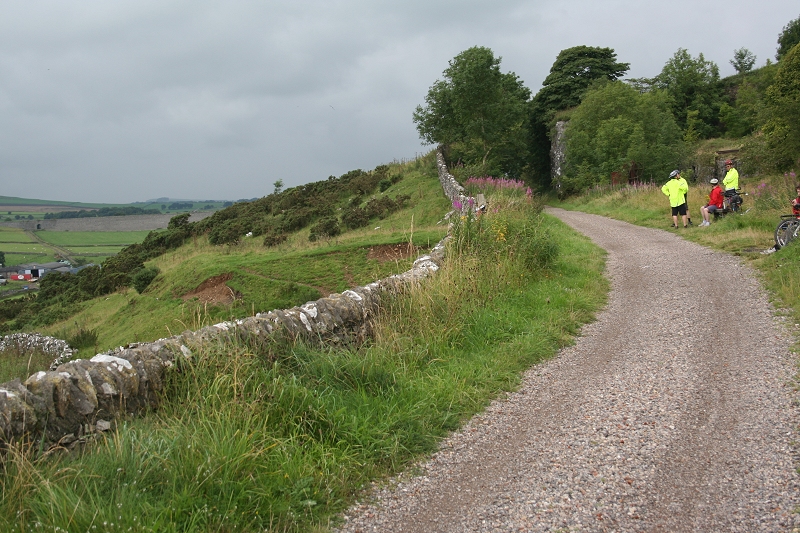
By the old quarry and the curve entering a stone cutting. Cyclists have short rest at the seats provided by the quarry.
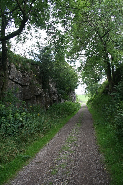
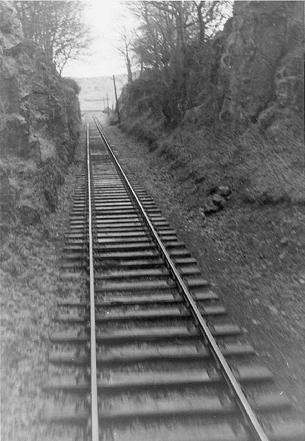
The stone Cutting by the old quarry. The stone cutting towards Minninglow as seen by John Neave in the 60's.
From the same spot, looking eastwards.
View looking south from the quarry entrance. This reflects the tight curve that is just out of view to the left.
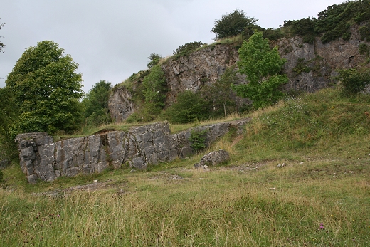
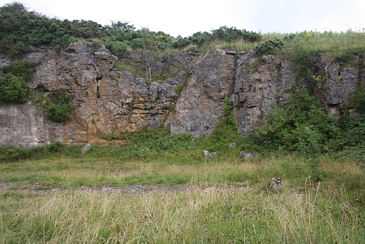
The quarry is quite deserted with not much to see of the actual workings but there are indications of the railway involvement.
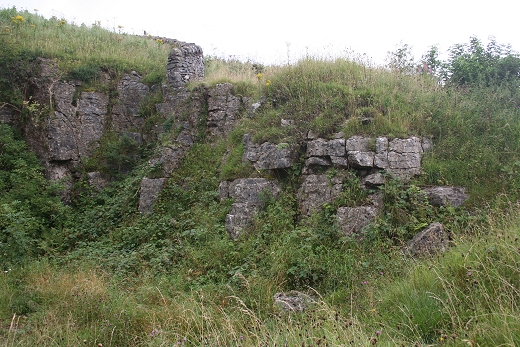

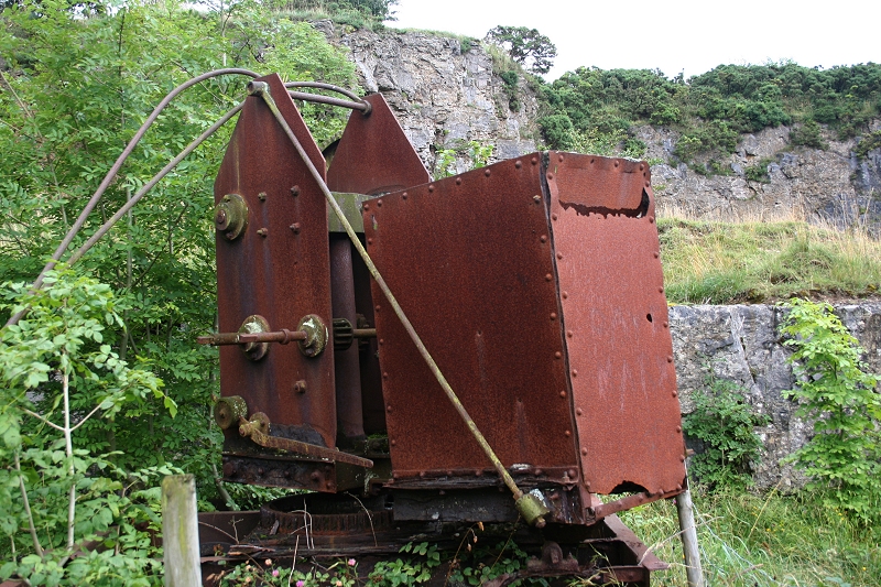
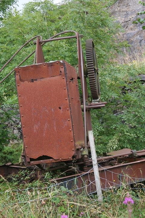
Look around the old quarry, which had a siding and a Crane.
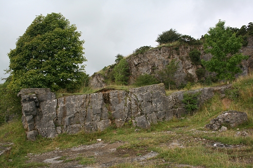
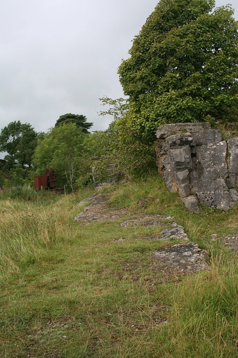
Left: The raised ground where the track of the wagon tipping point was. Right: Remains of the wagon tipping siding.
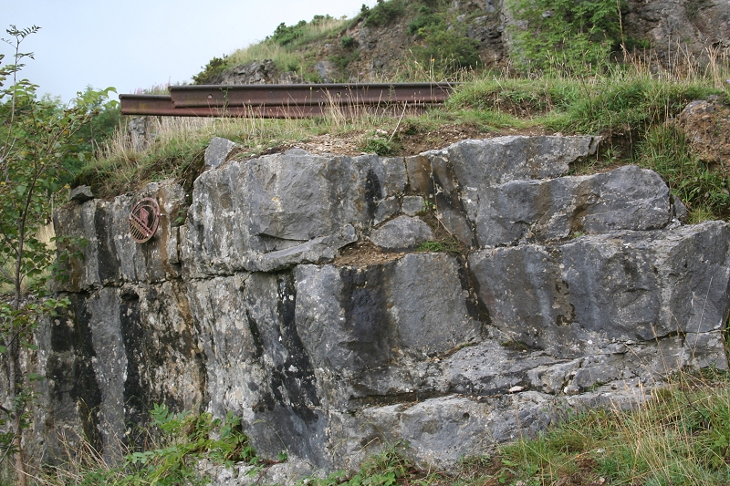
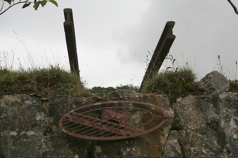
A set of rails stick out over the wagon tipping track bed. I don't think these are the original rails as I am sure there would have been more of a stop
block at this spot!
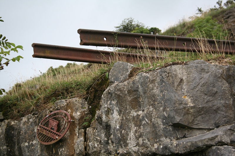
I'm not sure if these rails have just been placed there in more recent times as I am sure that there would have been some sort of support beneath them!
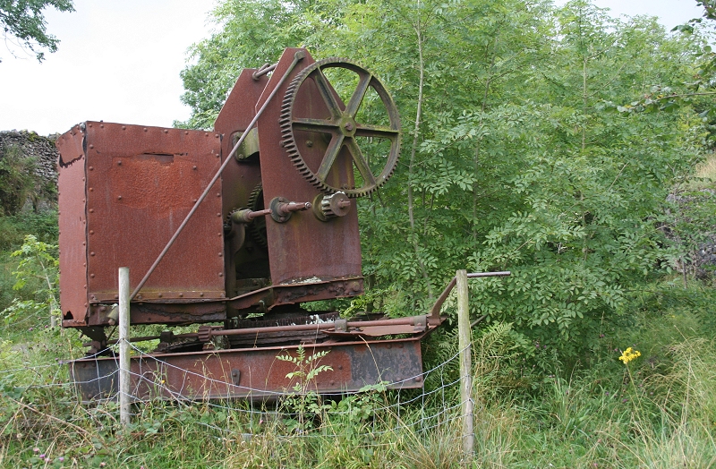
A rusting Crane creates a mental images of the work that went on here.
Looking back from the northern stone cutting with Minninglow Burial Mound in the background. The southern stone embankment runs off to the left
towards Longcliffe. This gives a good sense of the distances walked over this route. (Cropped from Camcorder image). 26th Aug. 2012).
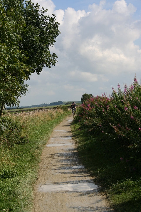
The line ran through the wooded area and then a sharp right hand curve into Minninglow station. You can make out the track bed running into the
distance, left to right, following the lower line of trees.
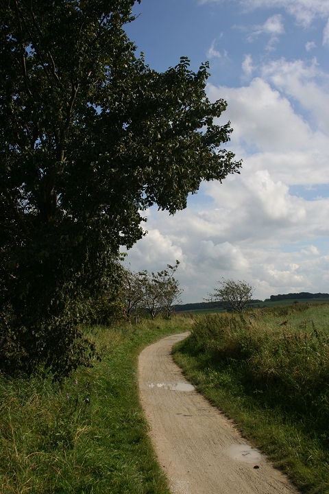
The tight curve onto the stone embankment. The track bed can made out in the distance as it
leaves Gotham Curve.
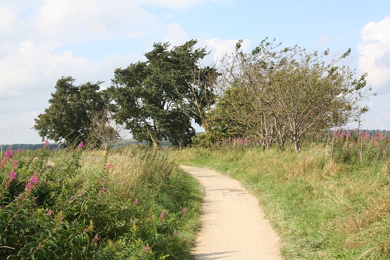
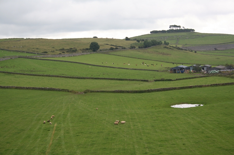
Another view looking eastwards across the valley.
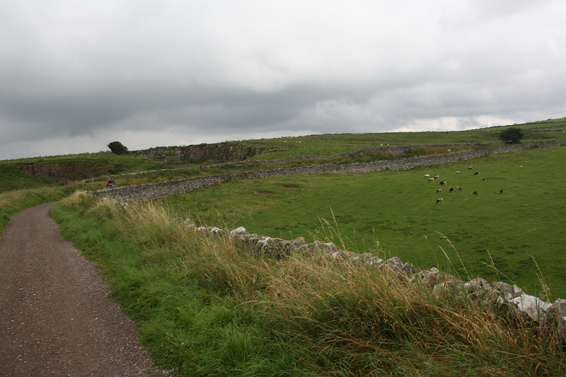
From the same Spot, looking back towards the old quarry.
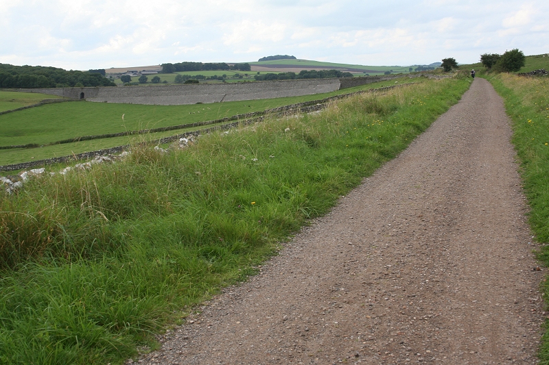
Approaching the curve onto the north stone embankment at Minninglow.
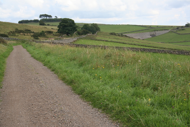
From the north stone cutting, towards the south stone cutting (Minninglow).
=====================================================
My Thanks To.....
John Neave for his kind permission to use a number of his 1960's photographs when the railway was still in operation. Check out John's ''Going Loco'', which includes a C&HPR history. At....
http://goingloco.neave.com/Mark Norton for the use of 1940's photos by his late father Dennis J. D. Norton.
http://www.photobydjnorton.com/CHPR_Menu.html#LinksReading: The Cromford & High Peak Railiway by John Marshall. Published by Martin Bairstow. Printed by The Amedeus Press 2011.
Other Railway Walks....
The Dundee & Newtyle Railway The first passenger railway in Scotland opened in 1831, which had three inclines operated by stationary steam engines. The main source of income was from
the numerous stone quarries in the area and local farming produce. Passenger numbers were always sparse.
The inclines were abandoned in the mid 1800's by new deviations that allowed through locomotive running.
The line also included the Dundee Law (Hill) tunnel built at 300ft above the City. Both the north & south portals of the tunnel are buried below modern housing schemes.
Passenger services ended in 1955 and the line closed completely in the mid 60's.
Unlike the C&HPR none of the Engine houses were preserved. The inclines can still be followed but sections have been back-filled or ploughed over
This web site tries to cover as much as possible.Boddam To Ellon Branchline Built by the GNSR in the latter part of the 20th century. The passenger service only lasted until 1934 but goods remained up to total closure in 1949.
The GNSR built a large Golf course and Hotel at Cruden Bay, with an electric tramway between the station and hotel. All that remains today is the Golf course.Other web pages....
Kittybrewster Memories. Kittybrewster Loco Depot, Aberdeen.
Tivoli Memories The Tivoli Theatre, Aberdeen.
Hosted by www.theatreorgans.com