THE ABERDEEN TO INVERURIE CANAL (Remains)
As at APRIL 2029 with older photos to add to interest.
Bill Reid
(PAGE THREE OF EIGHT)
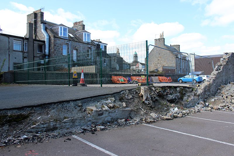
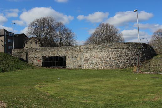
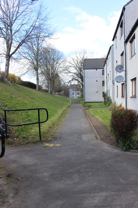
"CANAL REMAINS AT THE 'FOUNTAIN' Woodside".
The canal curved across what is now the top of Don Street and Great Northern Road. Don Street station stood at the north end of the street. Tenements and
shops were built over the spot. The only remains to be seen is the south side Canal wall behind the group buildings consisting of the Embassy Convention
Rooms and the Fountain Bar and a group of small shops.
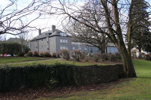
From Don Street and at the rear of the shops and houses on Great Northern Road. Woodside Church Clock tower is in the
background. The canal base has been back-filled to some depth to raise it for present day use. The south side canal retaining
wall is see running behind while the north side retaining wall has been partly demolished showing the rubble that was used to fill
in the canal. A strange mixture of stone and gravel and even the stump of a tree.

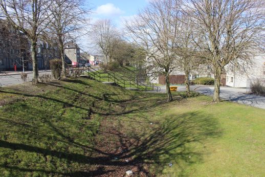
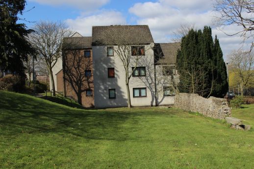
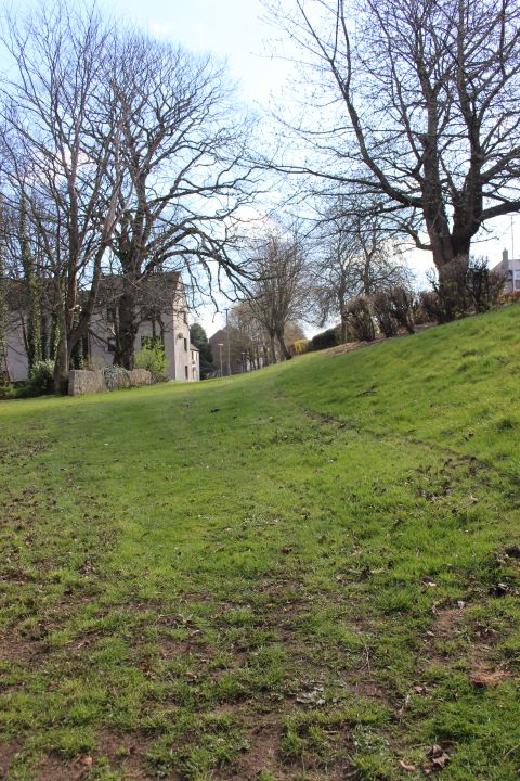
Looking towards Scatterburn. The Clock tower is of the Woodside Parish Church. Sadly it has been reported as closing in 2023.
The other two churches close by closed many eyars ago now.

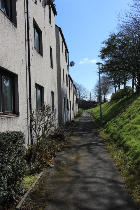
Don Street with the lane running down and dropping below the railway in Hayton housing estate. The late Kittybrewster driver Bill
Steele lived in the cottage on the left.


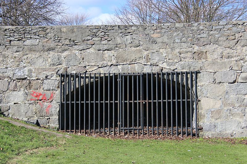
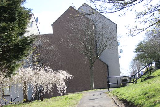
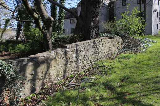
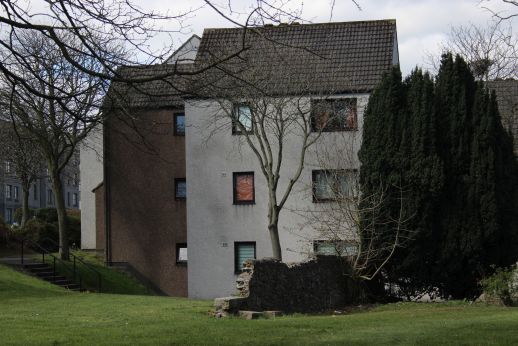
On the west side of Don Street the canal path has been blocked by a granite building buit across it's path. The wall is the only remaining part of the canal at this spot.
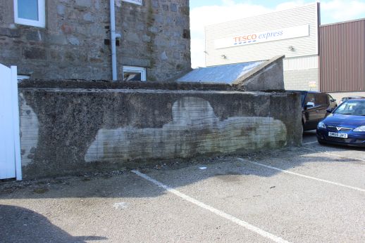
Interesting marking on the wall. Coud it be a repair ro perhaps something had been
attached to thewall at this point!
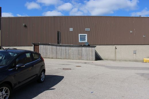
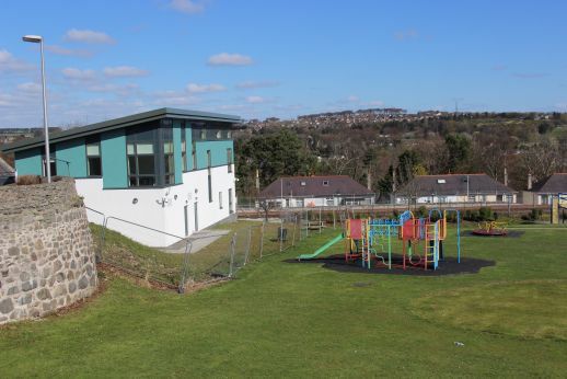
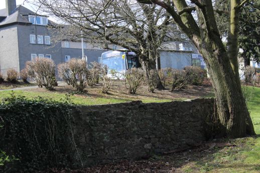
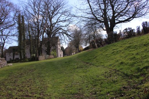
End of the canal remains site, towards Bucksburn.

On the right the shorter wall appears to have been added after the canal closed and this may have been a doorway from
Great Northern Road. Note the wall behind this wall. See comments below.

From an old postcard. Woodside Fountain. A tram is reaching the crossover where trams turned back to town. I sat on the
fountain many times watching the trams.The building that is the Embassy Rooms and Bar are on the far right at the top of Don
Street. In connection with the photo above, you can see right of the group of people standing by the fountain, the entrance that
I suspected is seen there by the opening . The stone wall behind the woman to the right is the wall you see in the above photo,
behind filled-in wall in front there for is still there today. For further changes behnd the wall you see the present day houses in
the background. That is where the shops on the left side of the road are in the old photo. Another memory is the step down to
road level outside the florist shop. I was small enough in those days to use them as a seat where I would also stop a while and
watch the trams come and go. I still recall the smell of flowers and vegitables that stood outside the shop front. The opening
between the two shops is Watson Street.
Woodside Fountain today. The fountain would have stood at left the green bush on the left. A presend day Aberdonian passes the stone wall where
the lady was, above. The road was widened more to the left and the houses and shops completely wipied away. Likewise, many houses and
shops on the right have been demolished and newer building in their place all the way up to Deer Road.The new road was also raised leaving the
buildings on the right at a lower level than originally. (Google Street View).

The way westwards has been blocked off and the canal bed is not seen again until you come to Deer Road and Station Road.
========================================================
WOODSIDE (Fountain) TO SCATTERBURN

The only remaining canal bridge remaining. This is at Station Road, Woodside. Woodside station was at the bottom of the road.
Apparently there was a Wharf at this spot too. Towards Scatterburn. (Sept 17th 2013).

From Deer Road play park which is partly built on the canal bed. Great Northern Road on the left. Towards Scatterburn.
East side of the bridge. It is filled-in The only remaining over bridge remaining. At Station Road, Woodside station lay at the north end
of this street..

As children we played in this park many times and used go up to the wire fencing to watch trains stopped at the signal that was there. I learned much later that it had been an
Intermediate Block Section (IBS) between Bucksburn and Kittybrewster as trains would get stopped at busy times when a number would buit up awaiting entrance to the
General Station, as well goods trains too and from Kittybrewter goods yard. The signals disappered when the line was singled in the mid 60s but I was pleased to see that
a new signal has been built almost at the same spot for the new double line working.
The new Up signal where the old semifore one had been when I was a youngster. Not yet in operation. This is between Station Road
and Deer Road. The built area in the background always surprises me as this was quite empty countryside up until the 70's when
development began.

The west side of the canal bridge towards Woodside Fountain. (17th of September 2013).


Left: The west, blocked side of the canal bridge. Right: From the east side of the over bridge. The canal way is blocked by houses at the top of Deer Road. Looking
towards the Fountain.

Deer Road. The canal crossed where I was standing. The opening on the left leads into the
play park. In the background is the tower of what was Crombie's cloth mill. Famous
for it's Tweeds, coats and military uniforms. It is now a modern housing estate.
(August 2008).

From the canal over bridge. Left: Northwards Scatterburn and Bucksburn. Right: Southwards towards Kittybrewster. The way is blocked by houses running along the north
side of Great Northern Road. The Deer Road childrens play ground where I played as a child and watched the trains going past are still there but in a more modern
design.owards

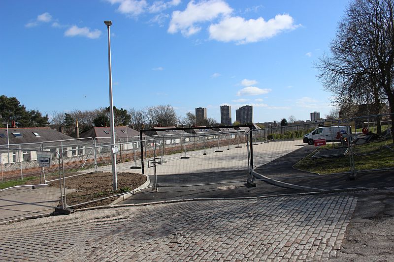
Bottom of Station Road where it drops below the railway. Looking towards Persely and Bucksburn. As can be seen new
double track has just been laid for the new upline.
The old entrance and concourse of Woodside Station. The station house is still on the far right but an extension and a number of fully
grown trees hide it. The Up platform face was visible but has been demolished in the widening and clearing of the track bed.

Woodside Station. This photo ican be purchased on the internet without the water marking.The station closed on the 5th of May 1937.
(Author Unknown).


All the houses and buildings along the north side of Great Northern Road were demolished when Great Northern road was widened. The new housing were built
at Canal level all the way up to Scatterburn. The main line runs just to the north (Far left).


The closest the canal got to the main road.
The end of the canal base until you get to Maggiemoss Road at Scatterburn. The canal
carried on westwards. It was then under housing at the Haudegan. The area was
cleared but modern housing was built all the way up to the Junction with
Maggiemoss Road and South Anderson Drive.
TO: PAGE 4 SCATTERBURN TO BUCKSBURN
============================================
Please respect the copyright of all photographs and videos in these web sites. Thank you.
All My Web Sites (Web pages and videos).
Contact me at reidcrcwdr@aol.com if you have anything to add to these pages.