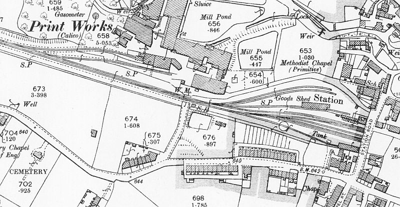
Hayfield station layout (NLS Maps).
Note the site of the turntable and the small reservoir by the signal box.
THE SETT VALLEY RAILWAY WALK
14th May 2019
By Bill Reid
(Page One)
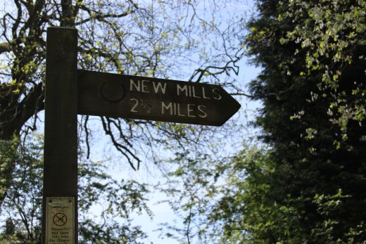
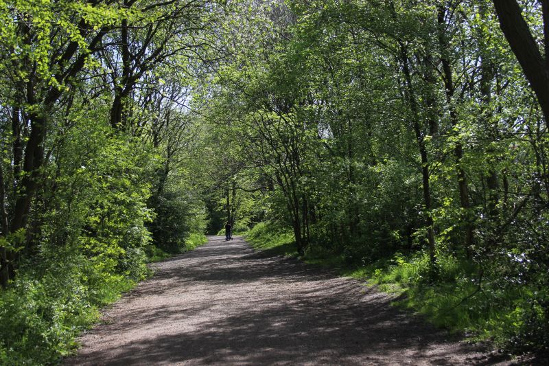
The Sett Valley branch line
ran from New Mills Central (GCR&LMR) station for two and a half
mils and termating at Hayfield. It opened in 1868 and closed
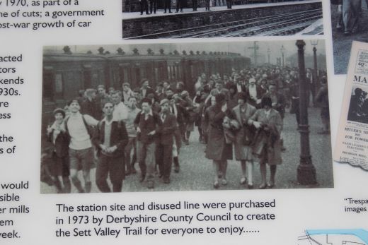
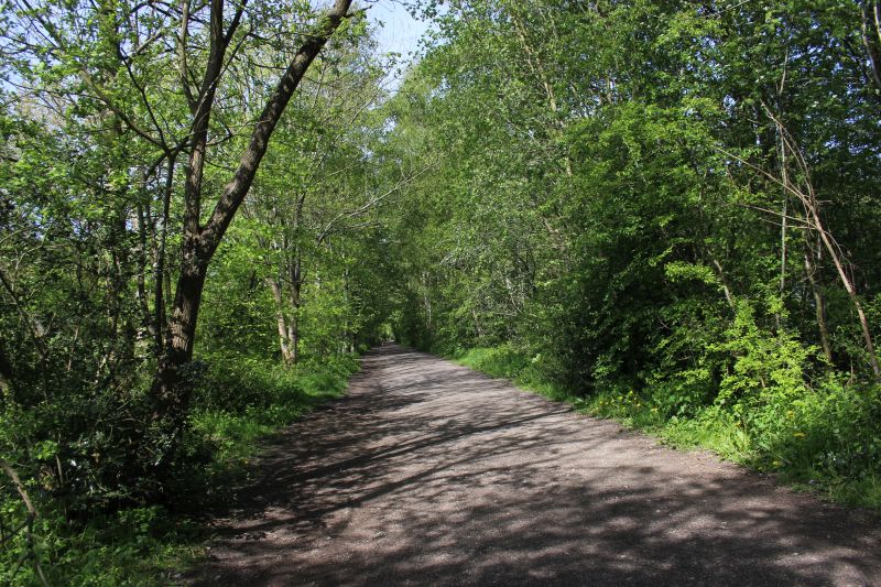
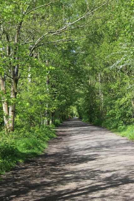
in 1968. In 1973 the track bed was formed into the Sett Valley
Trail and makes a very pleasant two and a half mile walk or cycle.
There s very little railway
artifact remaining but you can picture it in some places. Coming up
from Oxfordshire by train and changing at Stockport for New Mills
Newtown station I
then caught the local bus into Hayfield that stops by the old
station site and walked back into New Mills. It made a very nice day
out in very fine weather.
Hayfield station layout (NLS Maps).
Note the site of the turntable and the small reservoir by the signal
box.
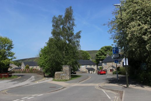
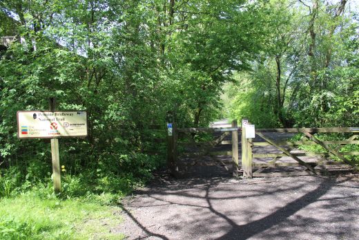
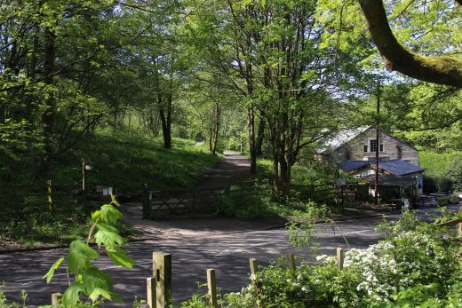
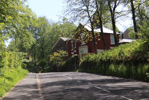
Left: Station Road, outside the station site. Right: The building on the
station site is where the bus terminates before returning to New Mills.
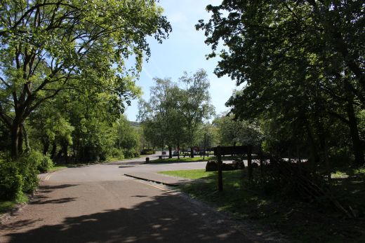
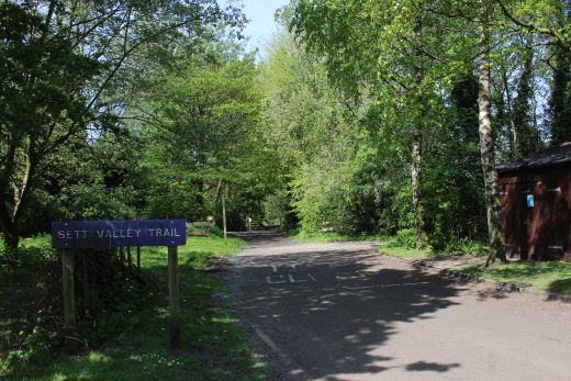
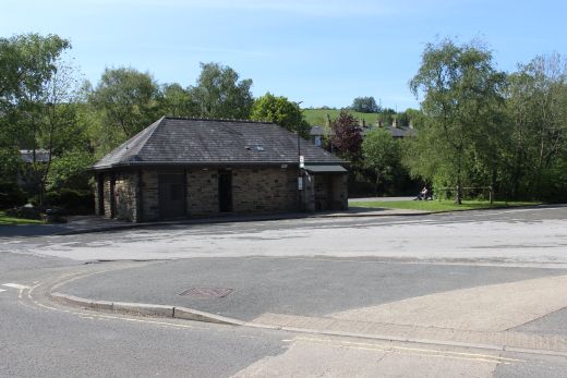
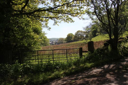
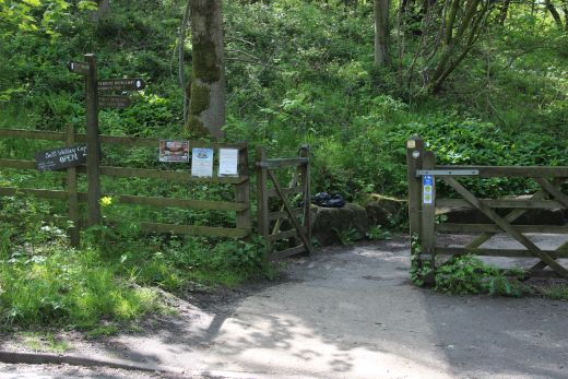
The station site and the sign marking the start of the trail.
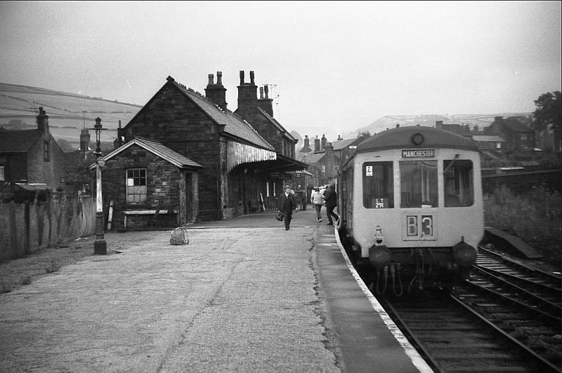
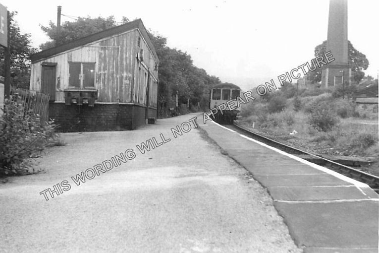
A DMU waiting departure at Hayfield Station late 50's/early 60's. (Author
Unknown).
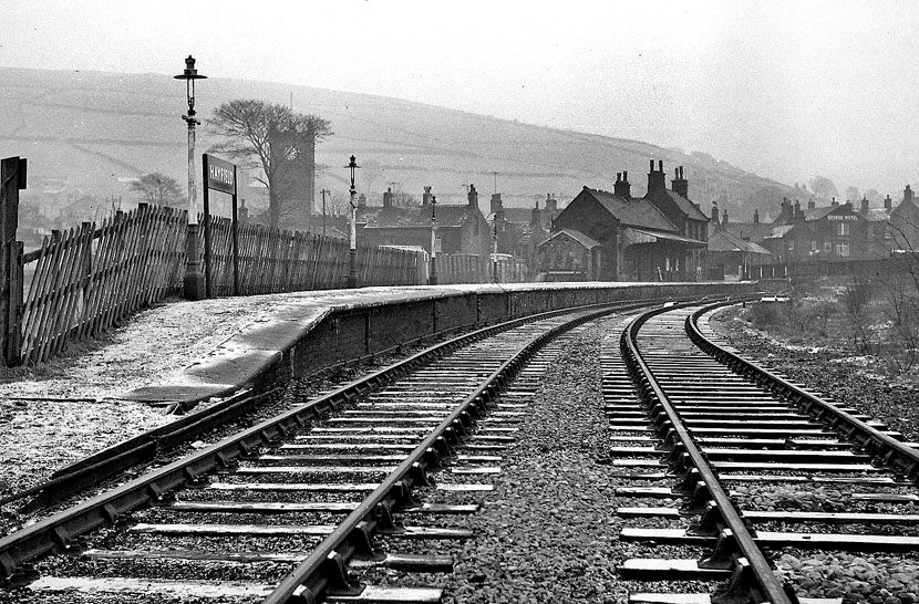
Hayfield Station. N.B. St. Matthew Church where the photo below was
probably taken from. (Author Unknown).
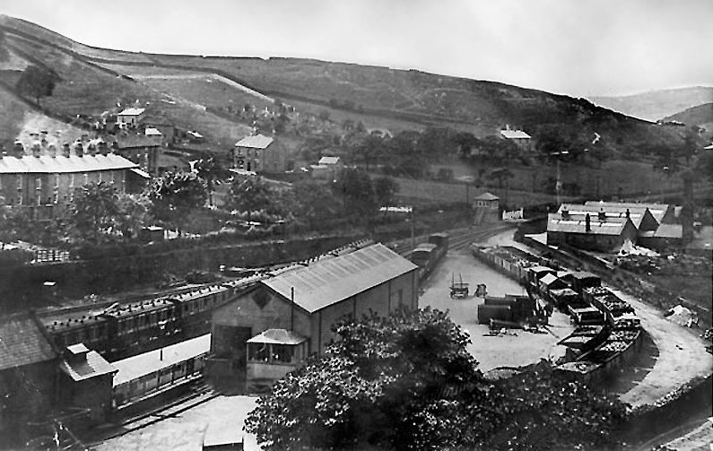
Hayfield Station Layout. Taken from the church tower. (Author Unknown).
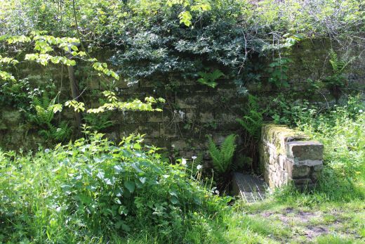
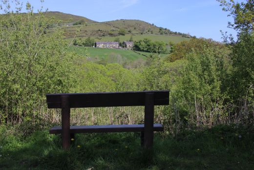
Right: I think this was a small reservoir by the signal box!
==================================================================================
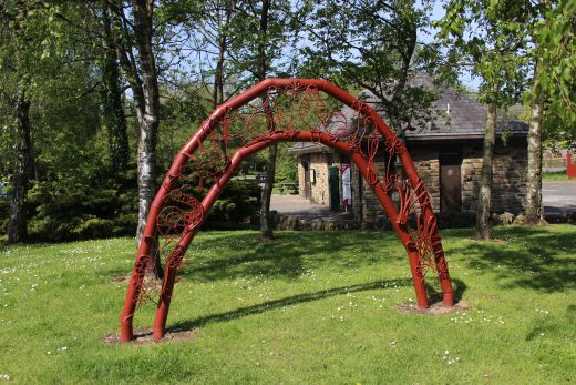
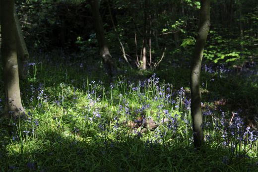
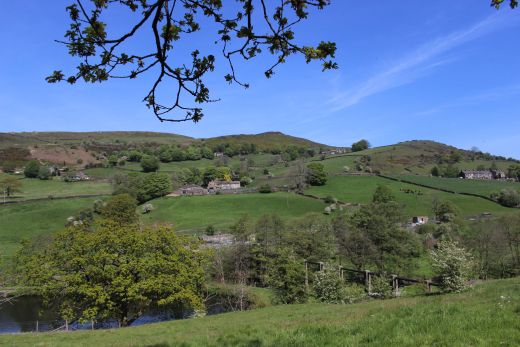
A side attraction to Bluebell Woods.
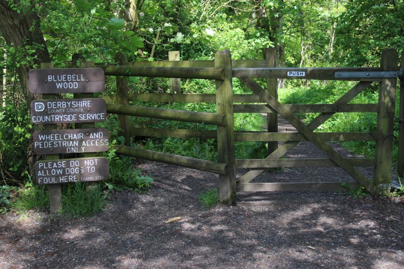
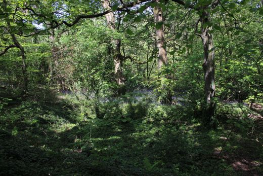
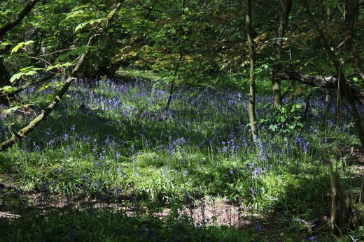
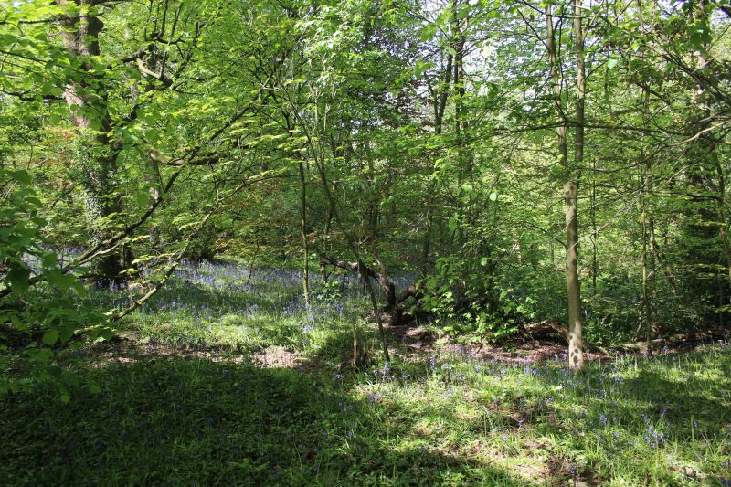
It was nice to see the Bluebells were in bloom.


===============================================================
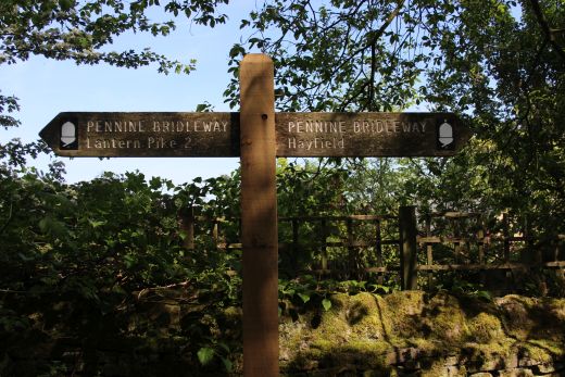
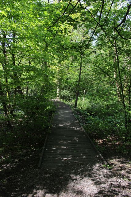
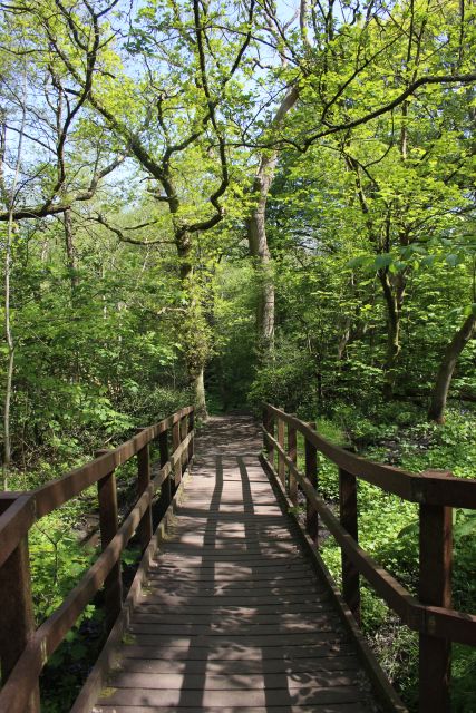
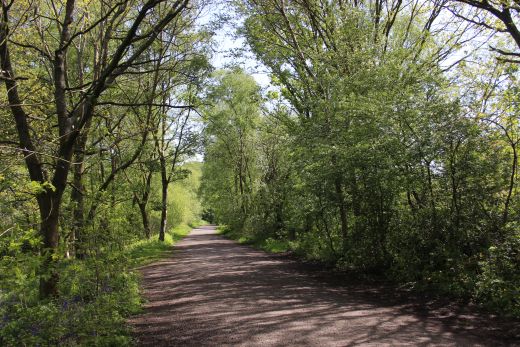
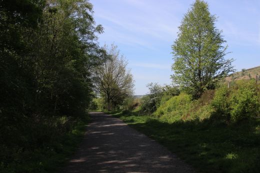
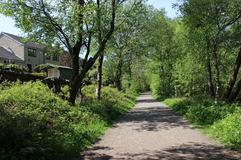
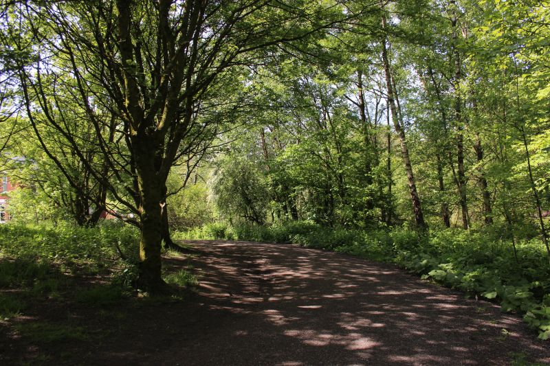
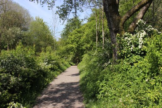
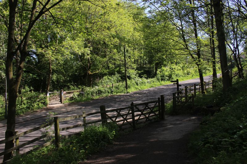
Back on the track bed and southwards towards New Mills.
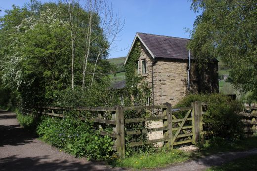
Slacks Crossing and Ex Crossing keeper's house.

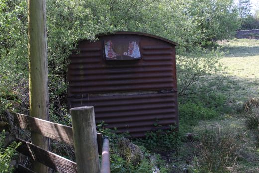
An old Box Van in a field.

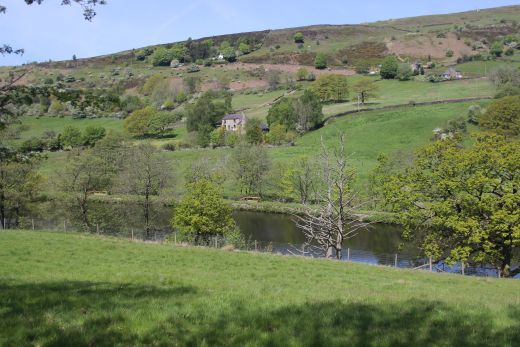
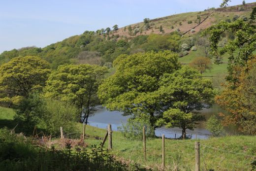
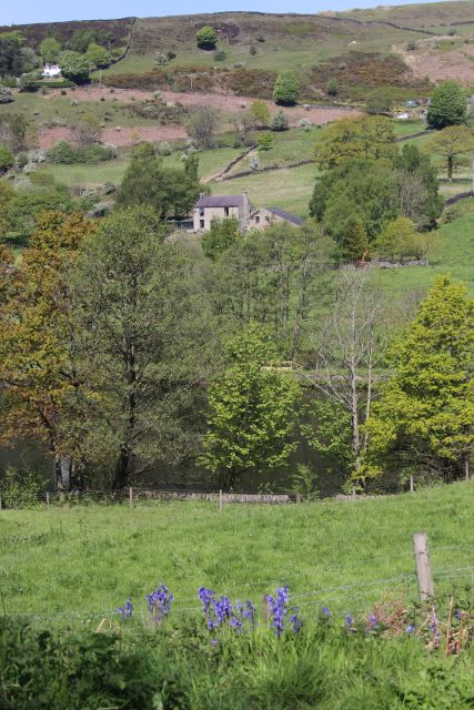
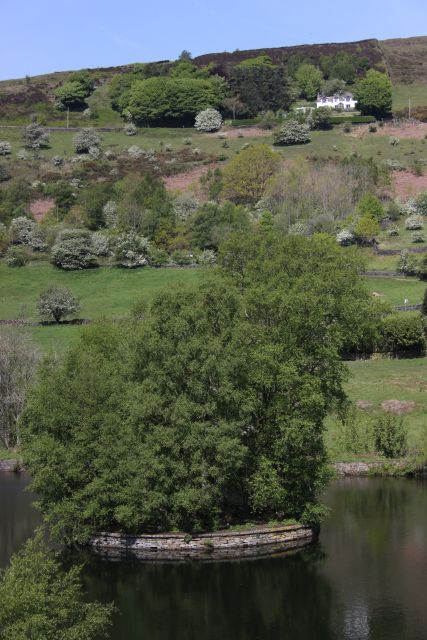
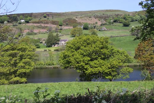
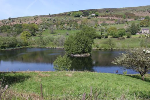
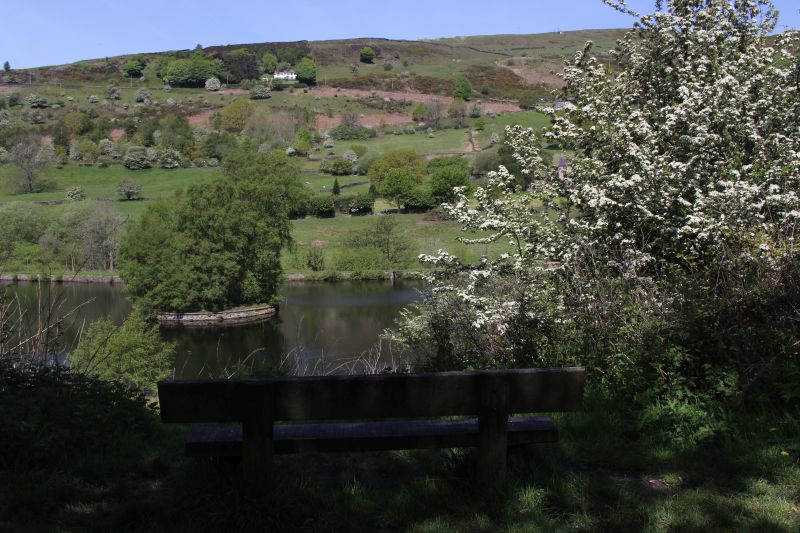
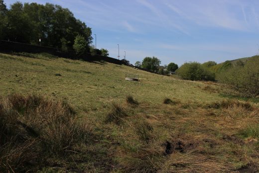
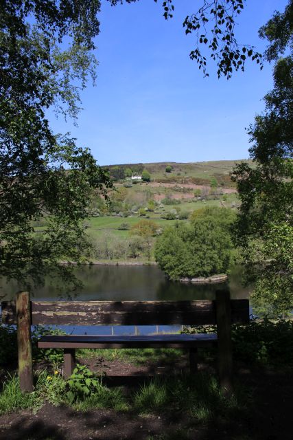
The Over Flow Reservoir.
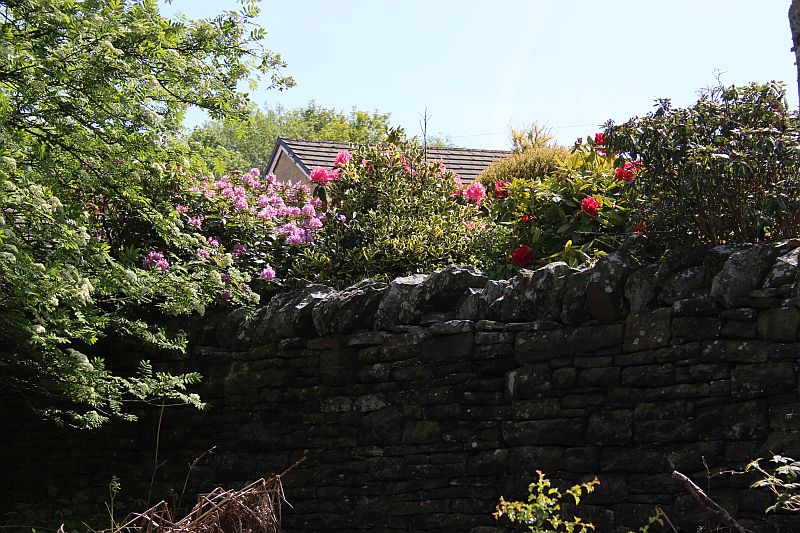
Passing a very colourful garden.
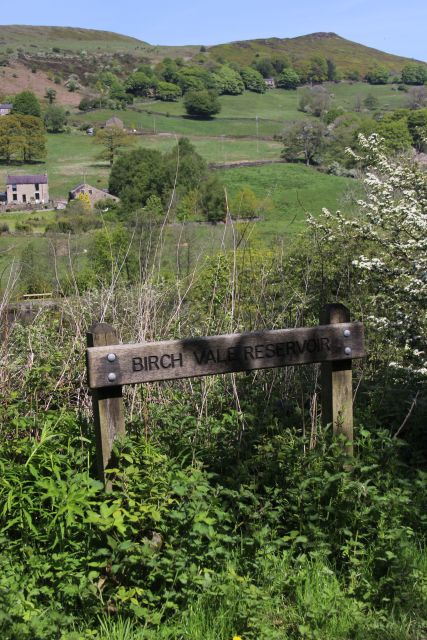
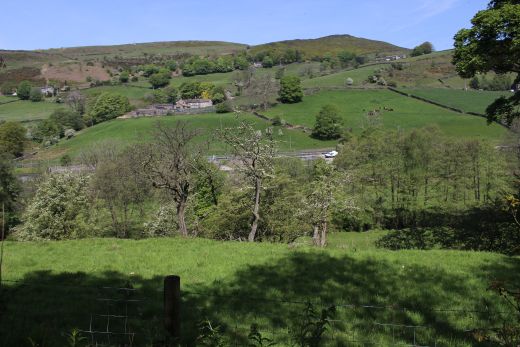
Birch Vale Reservoir.
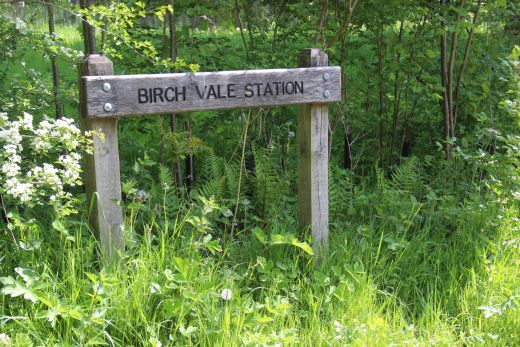
Approaching Birch Vale Goods siding and station.
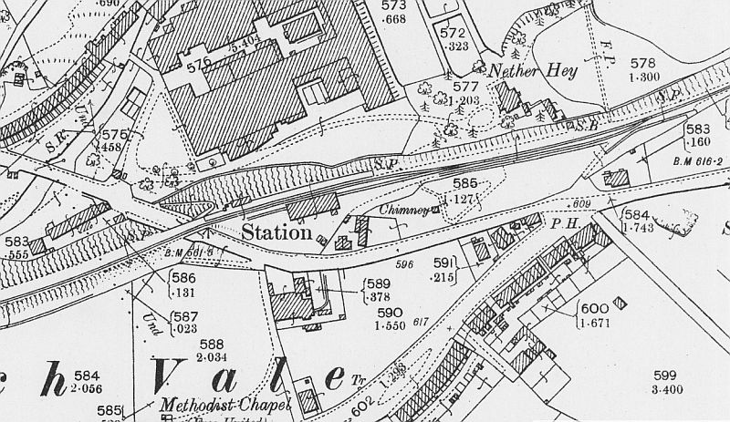
Birch Vale station layout (NLS Maps).
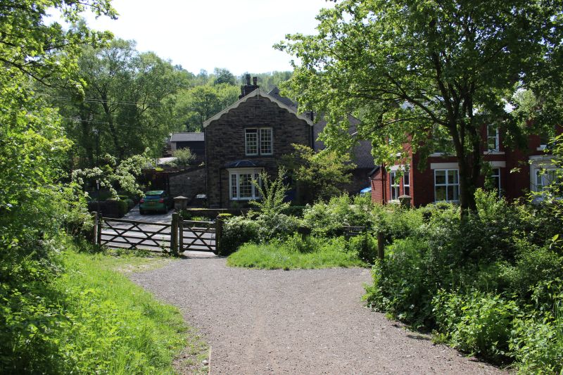
This was the Goods Yards entrance.Ex station master's house on the right.
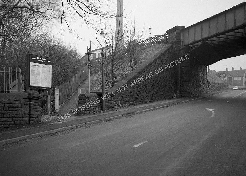
Left: Station Road. Gap where over bridge stood. Right: Ex Station
Master's house on Station Road.
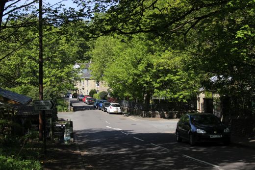
With the bridge removed you cross over at Road level. Right: Towards Birch
Vale village.
Birch Vale station stood on the far side of Station Road. There are
no remains of the site.
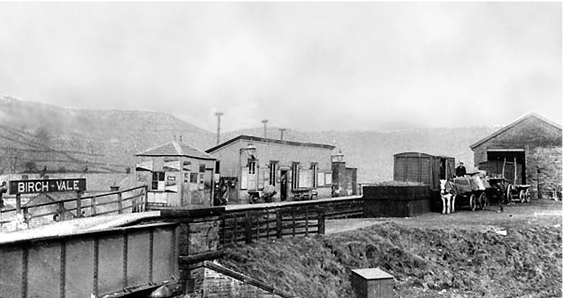
Birch Vale Station and the bridge over Station Road. (Author Unknown).
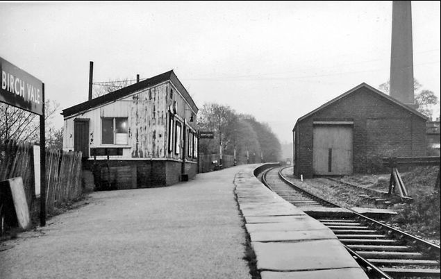
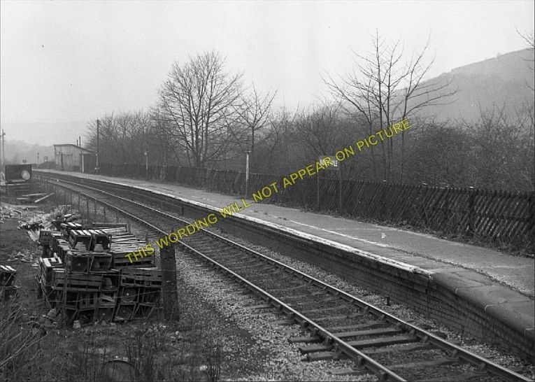
Birch Vale station. Looking towards Hayfield in the 60's. (Author
Unknown).
Birch Vale station. Looking towards New Mills. (Author Unknown).
A DMU departs arrives from Hayfield in the 60's.
From the west side of the road bridge, looking up Station Road.The track
bed has been considerably reduced with an easier
drop to the present day road crossing. (Author Unknown).
These photos are on sale on the internet without the water mark.
=============================================================
To THE SETT VALLEY RAILWAY WALK (Page Two)
=============================================================