
THE SETT VALLEY RAILWAY WALK
14th May 2019
By Bill Reid
PAGE TWO
Following on from Birch Vale station site towards New Mills.

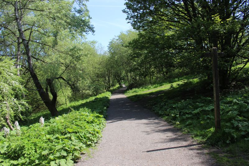
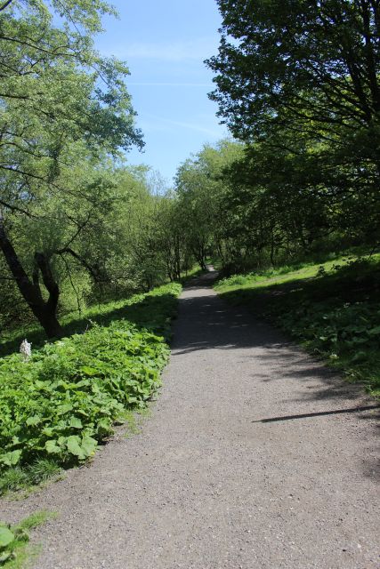
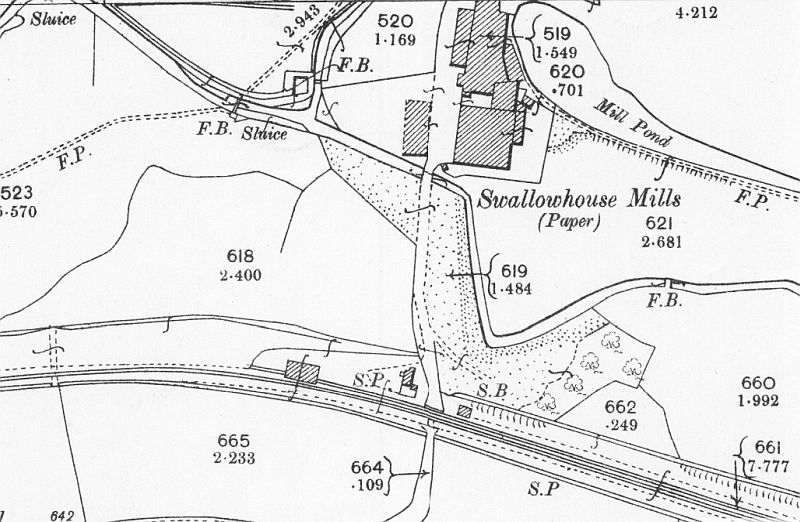
Swallowhouse Mills level crossing. The mill no longer exists but
the pond does. (NLS Maps).
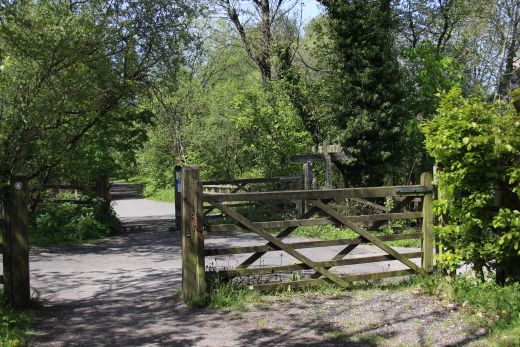
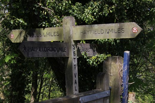
Level crossing site half way between Hayfield and New Mills.

Ex Crossing Keeper's House. I didn't find a name for this crossing but the
path northwards led to Swallowhouse Paper Mill, that
no longer exists.
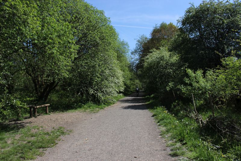

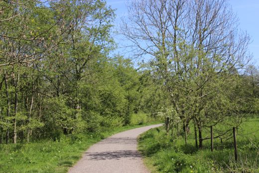
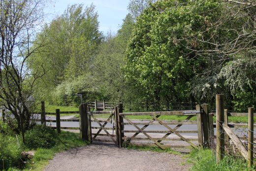

Ex Level crossing at High Hill Road.

Rejoining the track bed on the south side of High Hill Road.

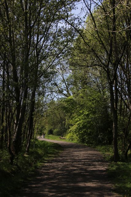
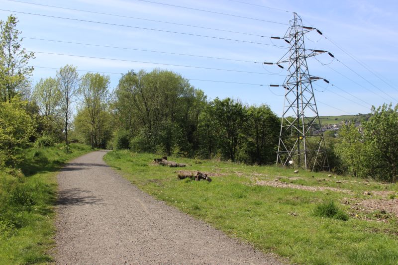
Passing the more recent road Ollersett Avenue a modern housing estate (To
the far left).
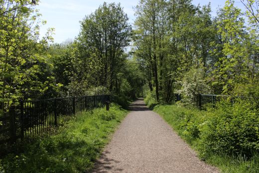
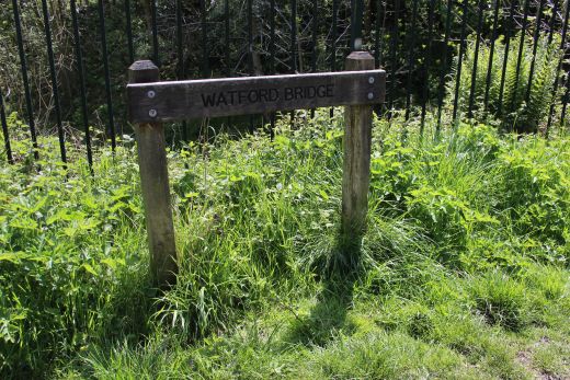
Crossing Watford Bridge.

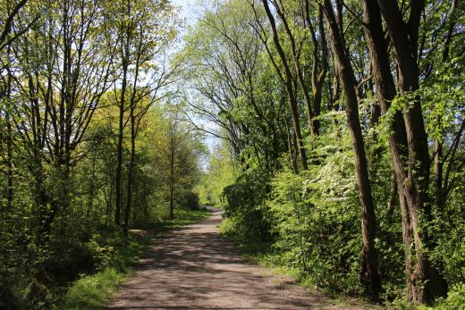
Water Bridge Road railway bridge.
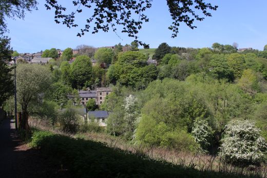
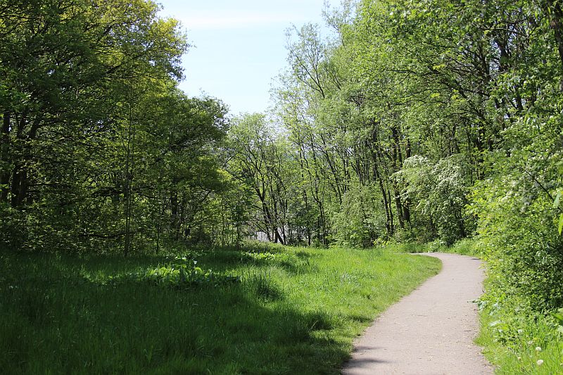
Walking towards the level crossing on St, Georges Road.
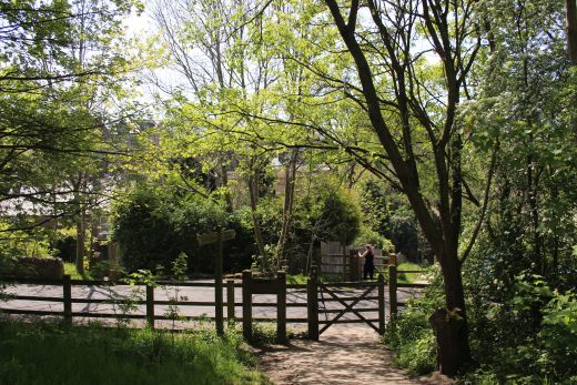

St. Georges Road

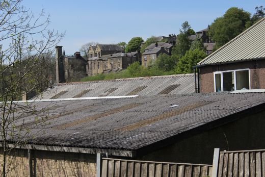
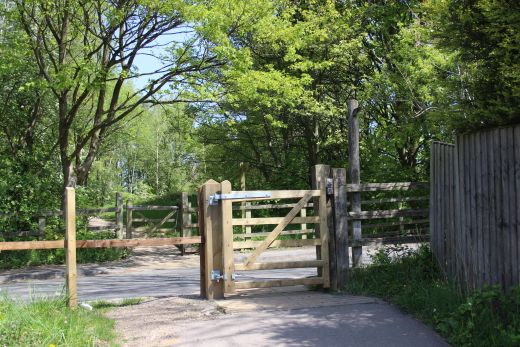
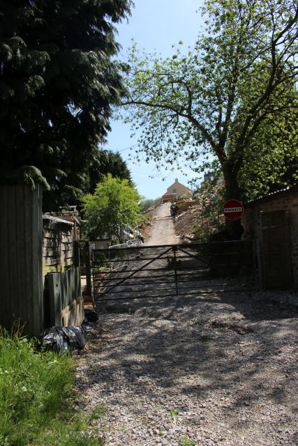
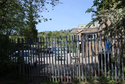
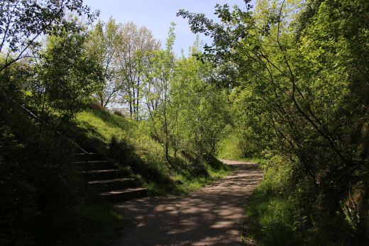

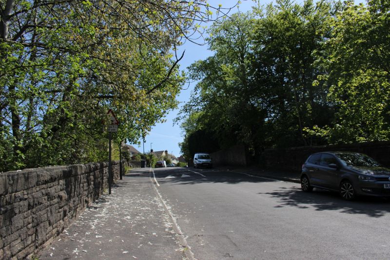
Church Lane

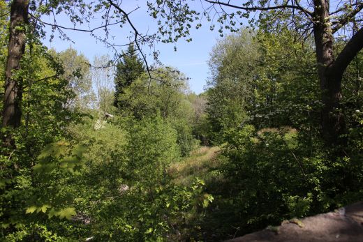
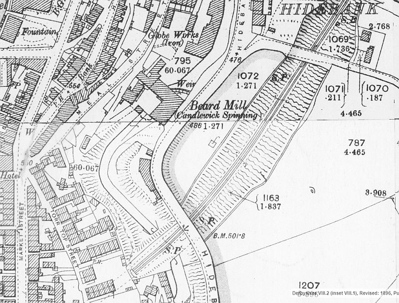
From Church Lane to the tunnel mouth passing along the track bed that is
now the site of the local Medical center and
Hyde Bank Road. (NLS Maps).

Walking around the track bed that is now the Local Lesure Centre
on Hyde Bank Road.
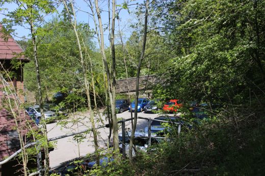
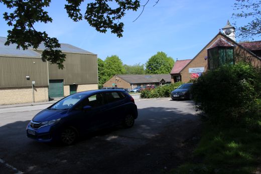
Left: Walking around the track bed site from the over bridge. Right: You
then walk through the site back onto the track bed for the final section
up to Tunnel
Junction site.
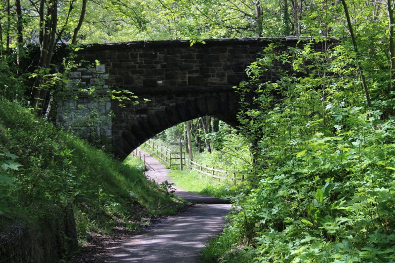
On the track bed dropping below Hyde Bank Road towards the blocked tunnel


The direction site and view from below Hyde Bank Road bridge. The left
hand path leads to Torrs Park & Hydro while the higher path diverts
from the tunnel up to Market Street.
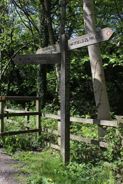
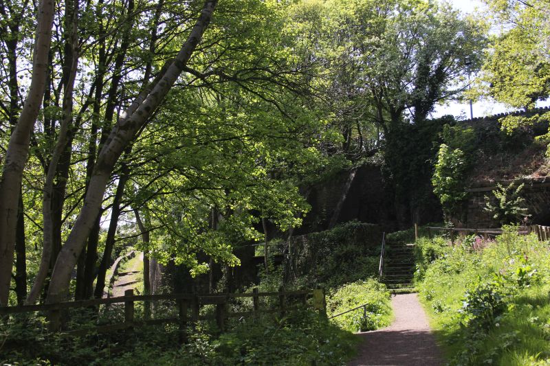
This is the end of the track bed as it approaches the tunnel mouth that is
blocked off. Continue on the path running to the right where
you can walk up to the road or follow the Torr path alongside the river
Goyt.
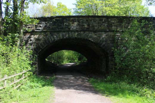
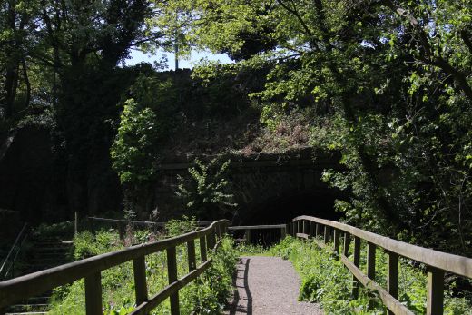
Left: Hyde Bank Road bridge looking northwards.
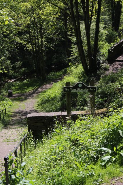
The lower path to Torrs Riverside Park and Torrs Hydro.
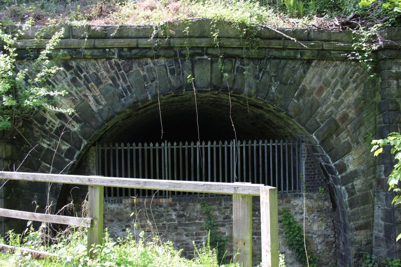
The north end of the tunnel that came from Mayfield Junction at the north
end of New Mills Central station
The way is well blocked due to the railway being live at the other end..
You have to follow side path via Torrs
River Side Park to get into New Mills.
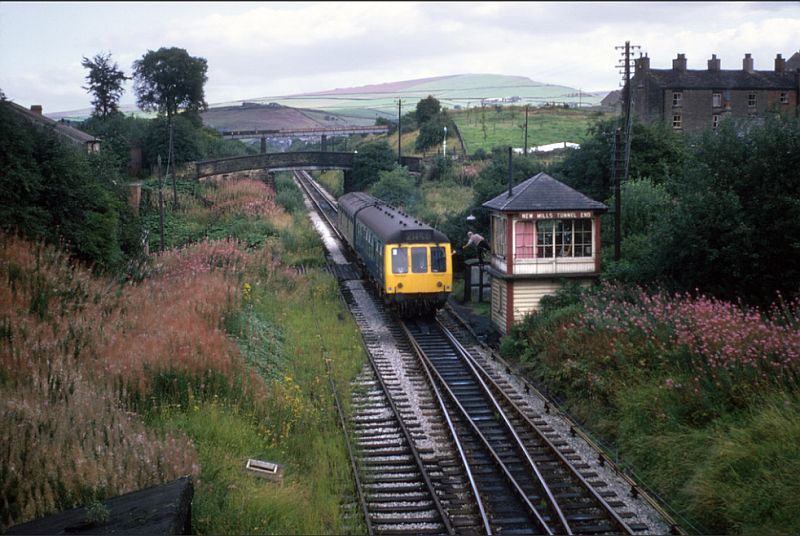
New Mills Tunnel Jctn. Token exchange for running through the tunnel
towards New Mills Central Station.
(Author Unknown).
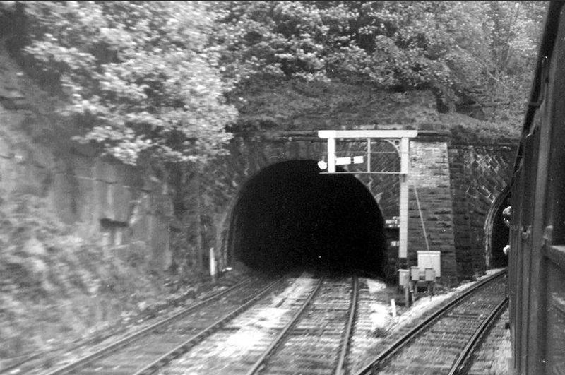
Taken from a Hope Valley train heading for Manchester. The Hayfield tunnel
on the left.
N.B. The closeness of the branch signal to the main line with no trap
point to stop a branch train if the signal is passed.

New Mills Central Station. The right hand signals are for the Hayfield
Branch. The DMU has come off the Hayfield branch
heading for Manchester (By Loose_Grip on Flikr).
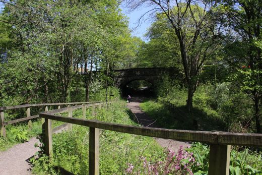


The mainline viaduct over the Goyt river on the south side of the tunnel.
From here I took
the path that led up to Lower Lock Street, Rock Street and onto
Market Street and down
to the main road all the way back to New Mills Newtown station.
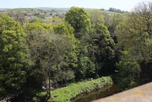
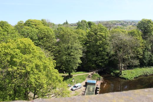
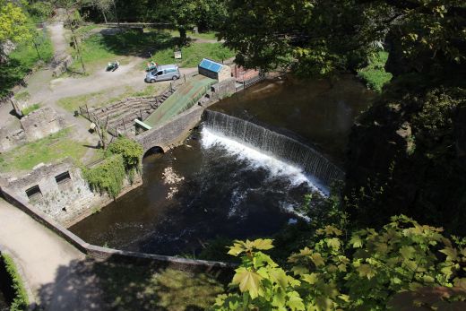

Torrs Hydro.
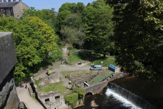
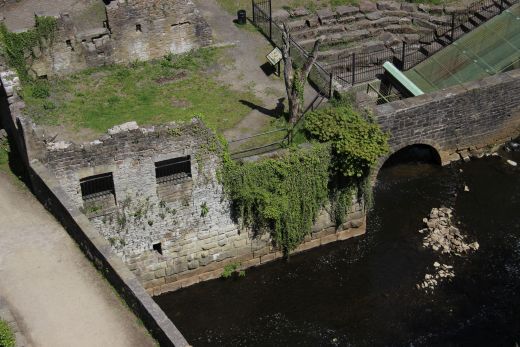
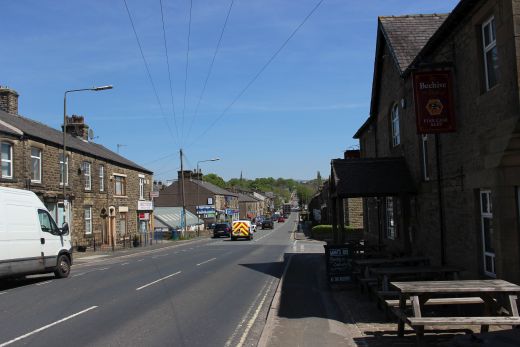
Back on to the main road and a walk through the town towards New Mills
Newtown Station. It is on a steady rise.
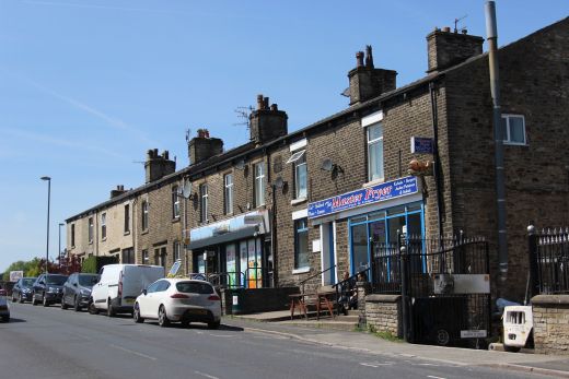

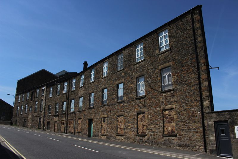
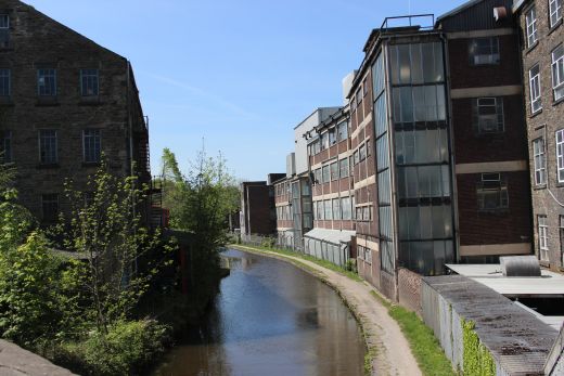
This old mill is now a business called Swizzels.
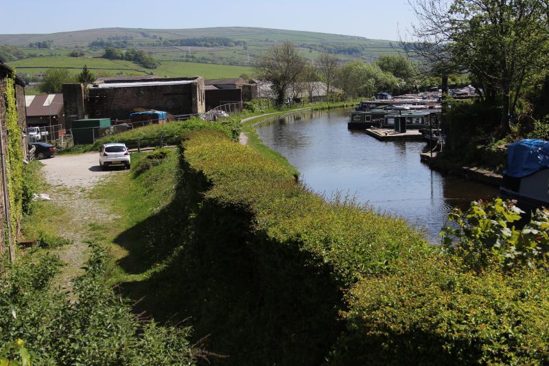
Looking southwards from the road bridge. This is the canal path I
took when walking along the canal from Whaley Bridge
just a few days before. A very pleasant walk passing the busy Buggsworth
Wharf.
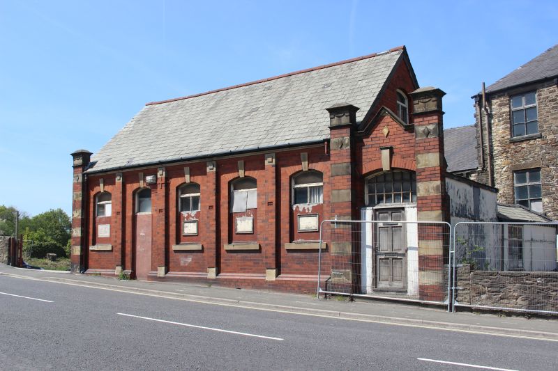
An old work's building.
NEW
MILLS NEWTOWN STATION
14th May 2019.
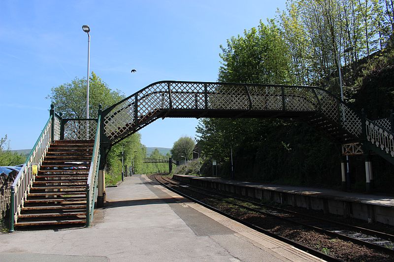
Looking southwards towards Whaley Bridge.
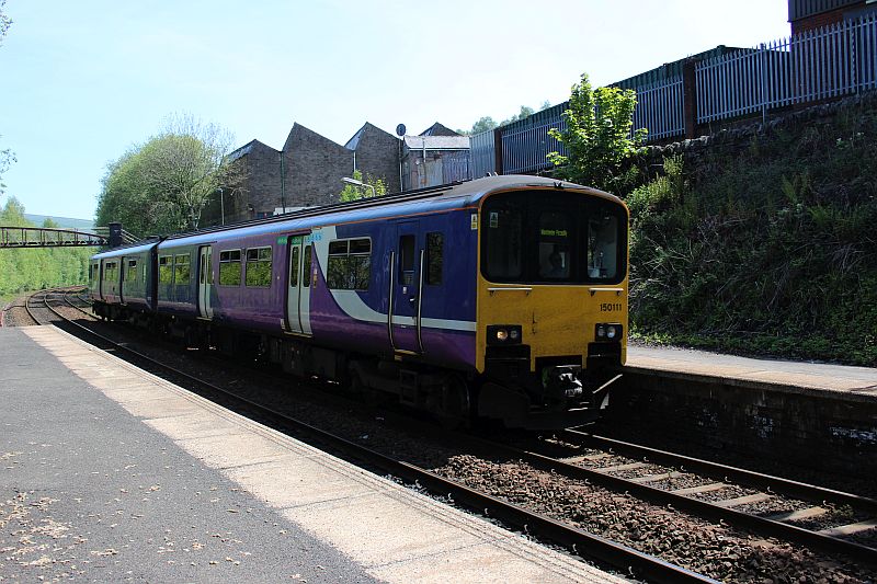
A Buxton to Manchester service arriving at New Mills Newtown station.
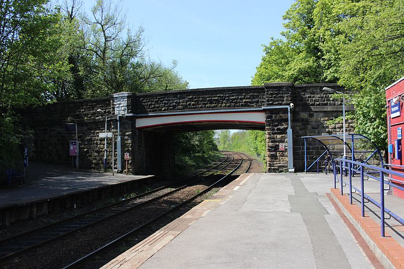
Looking northwards towards Stockport.
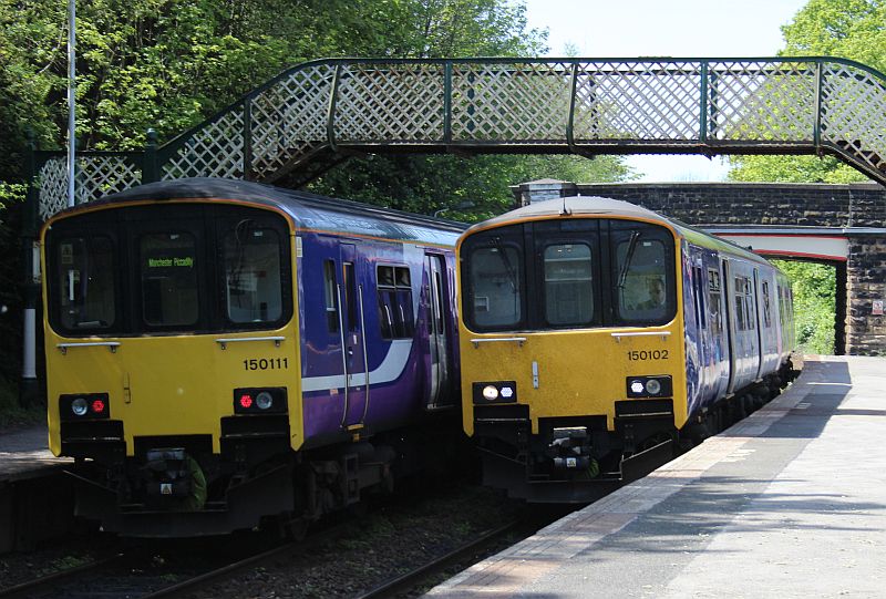
Services to Manchester and for Buxton at New MIlls Newtons station. Having
arrived back from Heyfield earlier
than planned I decided to conclude my outing having a look around Whaley
Bridge..
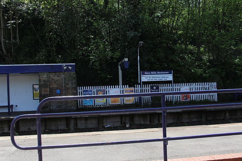
The stop for two interesting trails. The Millenium Walkway and the Sett
Valey Trail.
New Mills to Hayfield train 1968 - YouTube
To: Canal walk from Whaley Bridge to New Mills on the 8th May 2018 (Flikr).
https://www.flickr.com/photos/31261872@N07/albums/72157717380874192
===================================================================
Other railway walks:
The Dundee & Newtyle Rlwy Walks Opened in 1831 the route had three incline planes. The first was from the terminal station on Ward Street, up the Dundee Law, where there was
also a tunnel. The second was the Balbeuchley incline at Rosemill and the third at Hatton that ran down to Newtyle station. It was also the very first passenger train service in Scotland.
Worked by Horse over the levels until the first steam engine was purchased in 1833. Came under the Caladonian Railway with it's terminal moved to Dundee West station. Passengers
service ended in 1952 and the line totally closed in the mid 60's. The inclines were by-passed in the 1860's.The Cromford & High Peak Incline railway in Derbyshire has been luckier in having much of it's buildings, including an Engine House preserved. This is what could have happened with
the D&N, indeed, should have happened with at least one of the D&N inclines. However, the C&H gives an excellent comparison of what the D&N would have looked like, albeit the
inclines were only single track.Boddam To Ellon Branch (Walks) Ex GNSR branch line.
Dyce To Fraserburgh and Peterhead Walks. Ex GNSR
Bath To Wellow Rlwy Walks Ex Somerset & Dorset Rlwy.
Radstock, Midsomer Norton & Chilcompton Railway Walks
Radstock Collieries Somerset 2020
Writhlington Colliery Site
Bath To Bristol RlwyWalks
Hosted by www.theatreorgans.com