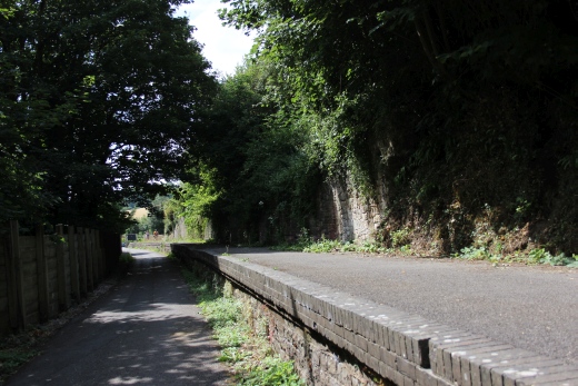
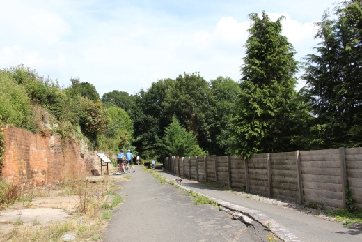
Left: From Midford station looking back towards Bath. Right: Midford station platform. Looking southwards.
SOMERSET & DORSET RAILWAY WALK
MIDFORD TO WELLOW
(4th Aug. 2018) Update 17th Aug. 2018).
Midford
had two railways running trough it. The S&DR and the GWR Camerton
branch.. The branch ran below Midford Viaduct. This is the spot where
the opening scene of the 1953 film The Titfield Thunderbolt was
shot. A Canal once ran here also but part fit was built over by
the railway.
The present day trail ends just to the north of Wellow. A Pony
Trekking Group is built upon the track bed and you have to go on to
the road and walk into
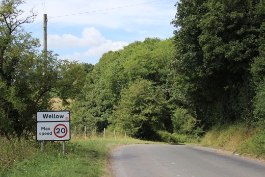
Wellow. The road immediately drops down and below Willow Viaduct but
then rises just as steeply up to the Village. It is a good half mile
walk.
The
station sit is a private dwelling and you should ask permission to
enter the site. The signal box still stands, at the north end of the
station. You can
reach the box on Railway Lane. It is apart from the station site,
which is at the end of Station Road. Nothing remains of the Goods Yard
that was on the
Up side at the south end of the station. It is also the end of the
rack bed until you reach the south of Shoscombe.

Left: From Midford
station looking back towards
Bath.
Right: Midford station platform. Looking southwards.
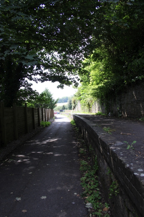
9519Looking southwards
along the platform towards Wellow.
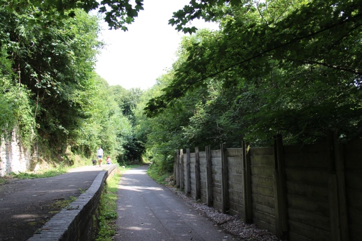
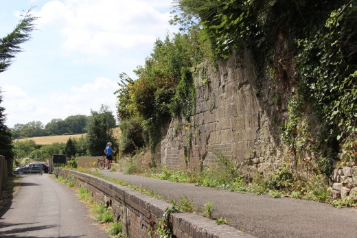
Left: Towards
Bath.
Right: Towards Wellow.
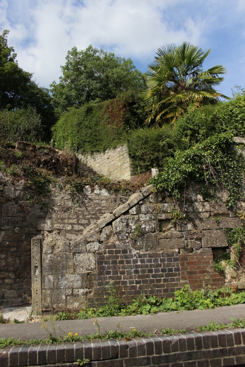
Interesting
two-level steps from the upper part of
Midford.
Right: (17th Aug. 2018).
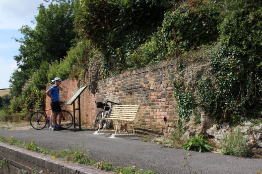
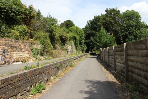
The retaining wall of
where the station buildings once stood.
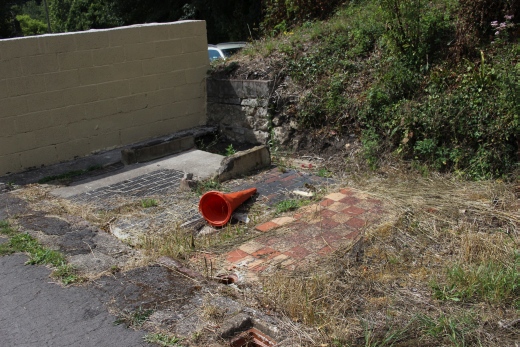
Left: Looking northwards
along the platform towards
Bath.
Right: Remains of the station buildings. The stone wall still stands.
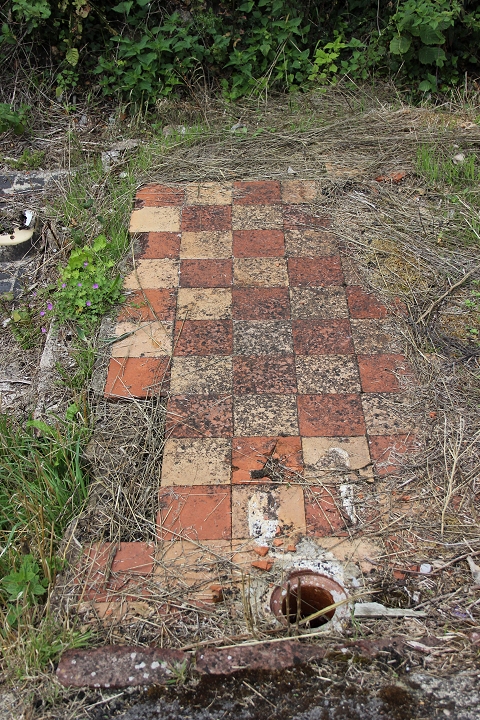
The tiled flooring of
what was probably a toilet. (17th Aug. 2018).
Nothing
remains of the signal box. There is every hope that the
sigal box will arise once again in the near future. A good example of
this can be seen at
the present Midsomer Norton station site where a similar signal box
has been rebuilt. A working replica of the signal box can be seen at
Washford on
the West Someset Railway.
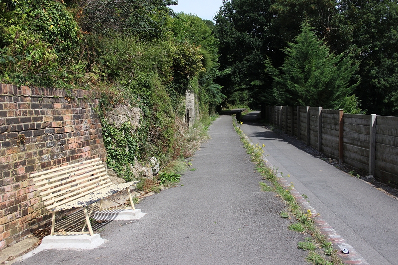
Towards Bath.
=============================================
Old photos of Midford station (Authors Unknown
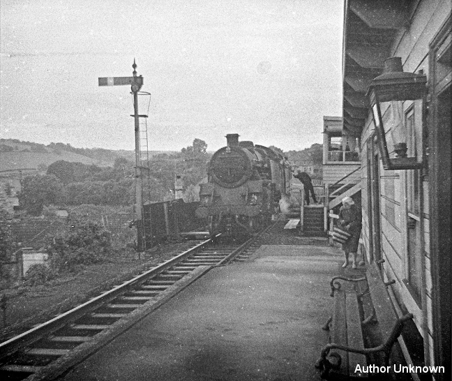
Signalman exchanging
Token with driver. You can see the gap between the station and the
signal box, that was
the station entrance, to the right.
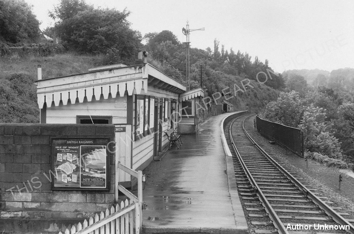
Taken on a wet day but
the station looks nice and neat. The Bow-Tie shaped signal is for
return Banker loco movements. The
signal box was on the south side of the gap between the station
entrance and the Viaduct. The stone wall seen here still stands.
You can see the proof that the tiled floor (seen above) had been
in one of the toilets.
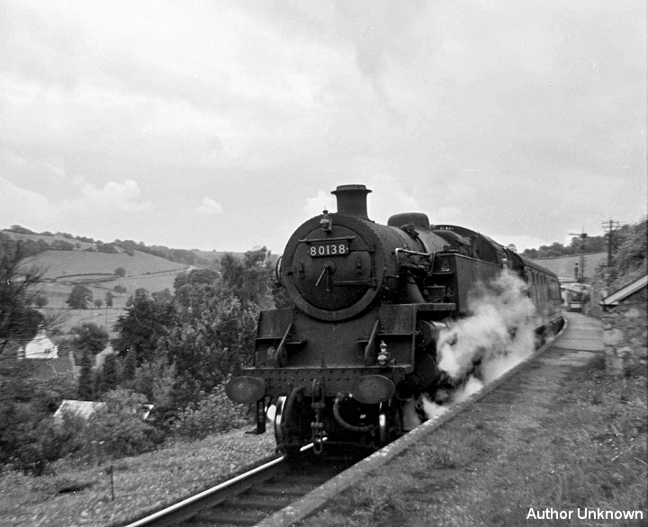
80138 standing at the
north end of Midford station heading for Bath.
================================================
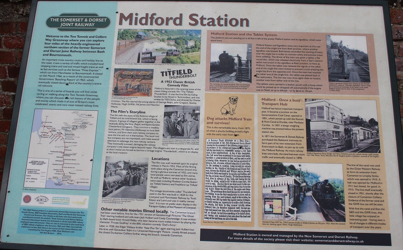
The notice board on the
station platform. (17th Aug. 2018). Top right phot is of the Titfield
train exiting the arch below the S&D viaduct and heading past
Midford Halt site, at the start of the film.
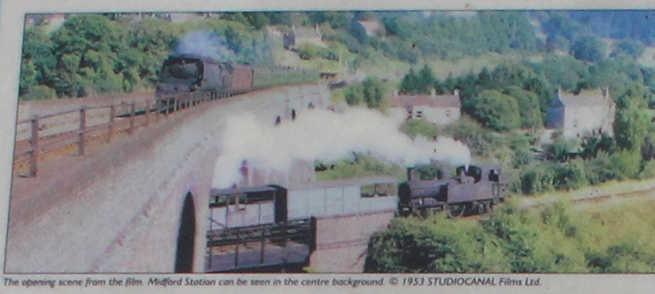
Cropped from the above
photo. The Titfield train running towards Monkton Combe that was used
as Titfield station.
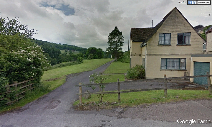
Monkton Combe
(Titfield) station site. (Google Street View). Private dwelling.
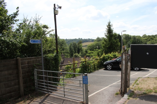
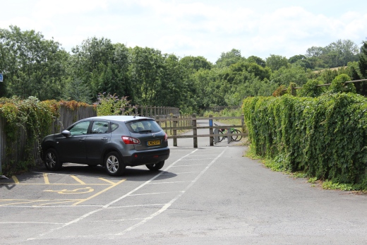
The southern end of the
station prior to going onto Midford Viaduct. The signal box stood to
the right. The car is parked right by where the Down starting signal
stood.
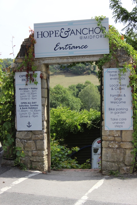
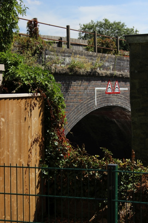
Left: A quick short-cut
from the station to the
Pub.
Right: The
viaduct at the first arch crossing the main road. It's from
approximately this spot
where
the camera had been set up for the opening scene of the Titfield
Thunderbolt.
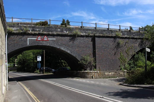
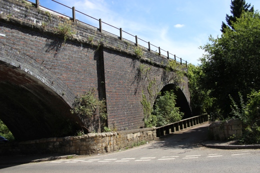
The west side of Midford
Viaduct. The path to the right will take you close to the
GWR viaduct where they filmed the Titfield Thunderbolt. The
opening scene where the camera looks down on the
Titfield Thunderbolt while a Southern Pacific runs past on the
S&D viaduct heading for Bath.
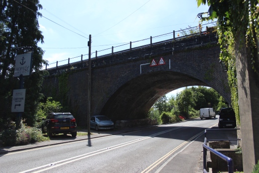
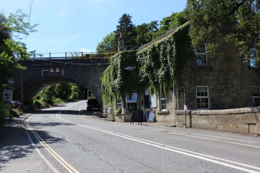
The east side of
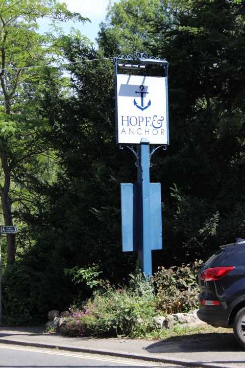
Midford Viaduct by the Hope & Anchor. Taken at the bus stop while
waiting for the 14.45 bus back into bath. There is an hourly service.
In this case the bus arrived exactly on time.
I planned a pint at the Hope & Anchor but arrived within four
minutes of the next bus being due.
From
this experience, if you just planned to visit the two
tunnels and save a two-way walk you could take the B1 bus service
from Bath to this stop at Bideford
and walk the tunnels back into Bath (Oldfield Park). It is just
over 2 miles to Wellow which would add over four miles to
your walk.
========================================
Photos from my second visit to Midford, checking out the remains of the two viaducts. (17th Aug. 2018).
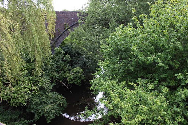
The Camerton branch bridge
over the Midford stream. (17th Aug. 2018).
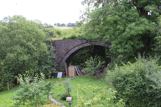

The bridge is gated to
stop anyone walking on top.
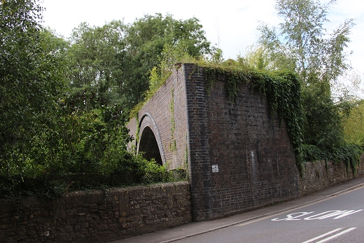

The remains of the Camerton
branch viaduct and under bridge on the B3110. Left: Stub End of
the viaduct. Right: From
opposite side of the road.
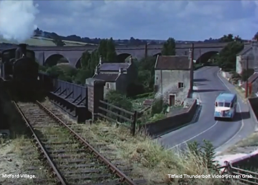
A
screen grab from the video of the film. During the Bus & Train
race scene. Shows the bus running down the B3110 and below the
railway under bridge while the
Titfield Thunderbolt runs by. Note too, the P.O. Box seen
to the right of the bus. See below.
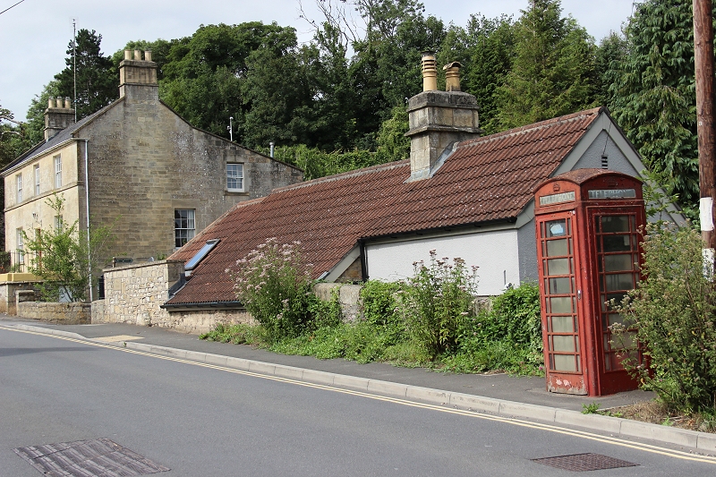
The
telephone box and the Telegraph pole still remain, albeit the
P.O. Box is in poor condition.
========================================================
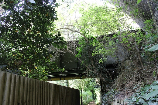
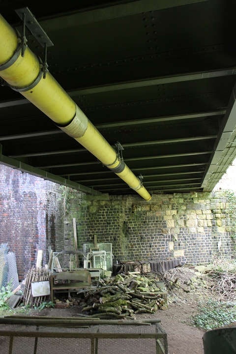 2
2
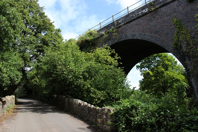
Views of Midford Viaduct from the lane
below.
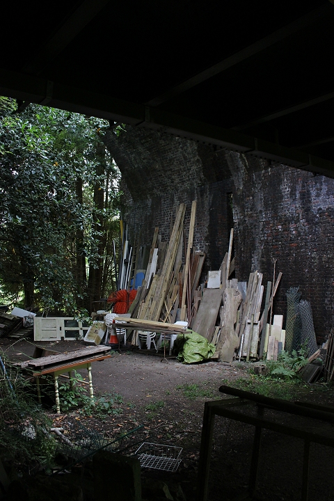
===================================
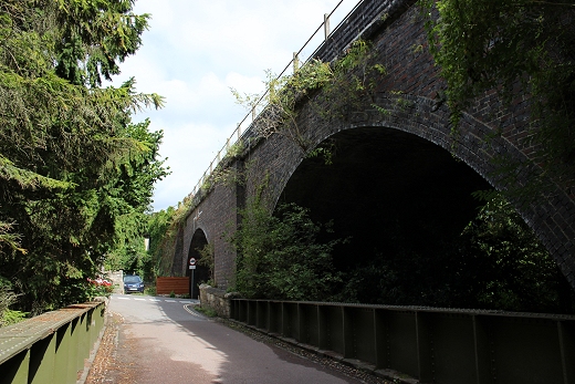
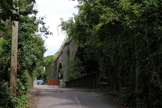
Midford Viaduct from the
lane that lead to Midford Halt site.
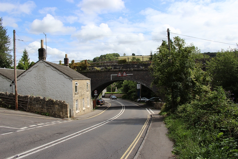
Midford viaduct from
the west side. The road on the left takes you into Midford station
site.
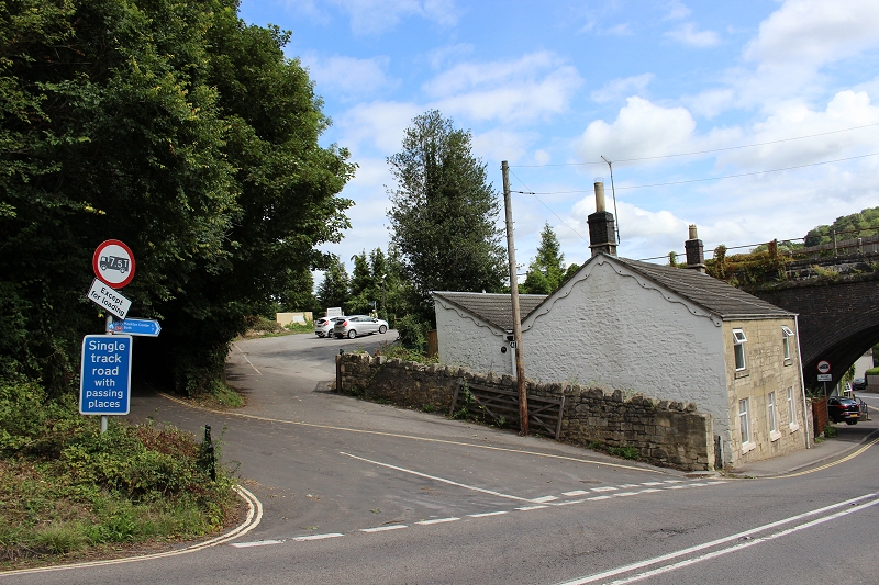
The station entrance
from Old Midford Road. The signal box stood close to
where the two cars are parked.
=========================================
Midford to Wellow
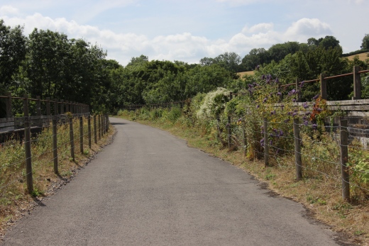
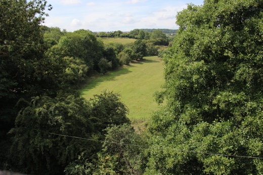
Left: Midford
Viaduct.
Right: View westwards from the viaduct. The Camerton track bed follows
the treeline into the middle distance.
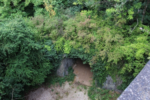
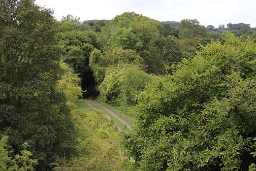
Left: The Camerton branch viaduct and under pass, just as it goes
under Midford Viaduct. Right: The track bed heading south. You see the
Tifield thunderbolt run over the viaduct and along here and
into the distance at the start of the film. Midford Halt was just
about at that spot. (17th Aug. 2018). Interesting case with one
viaduct going under an even bigger one.

Dedication to all those
who helped make the upgrading of the walk way too from Bath To Midford
possible.
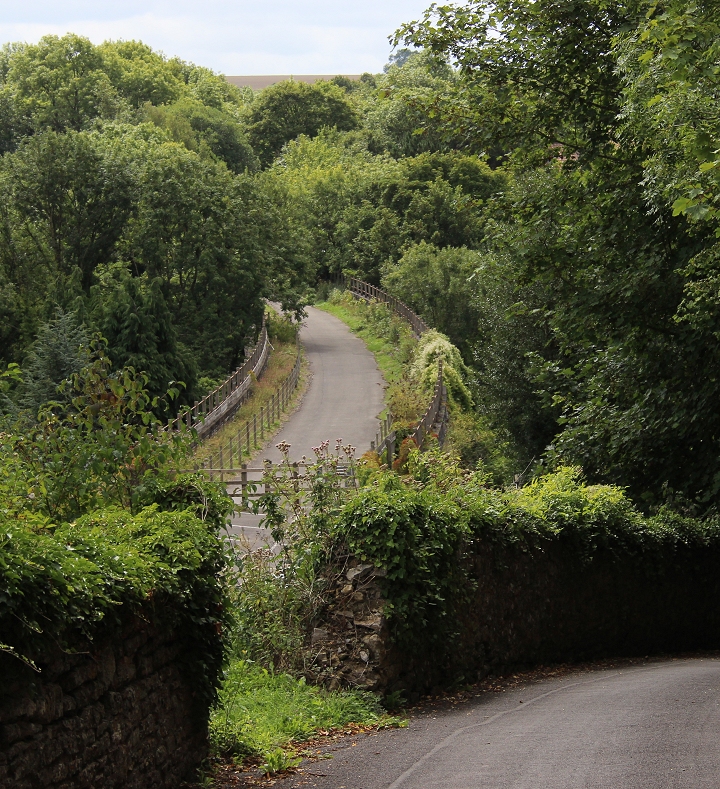
Midford Viaduct from
the top entrance to the station. (17th Aug. 2018).
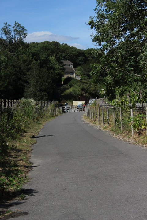
Midford Viaduct, approaching station
site.
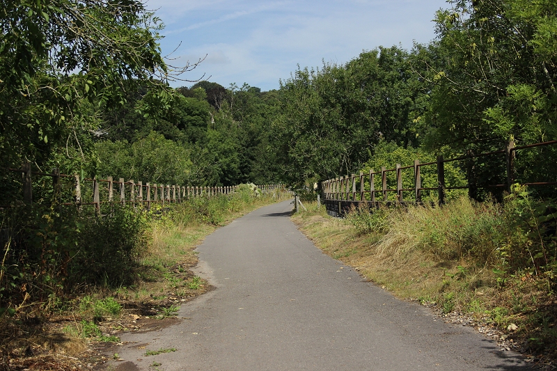
Mideford Viaduct,
looking northwards.
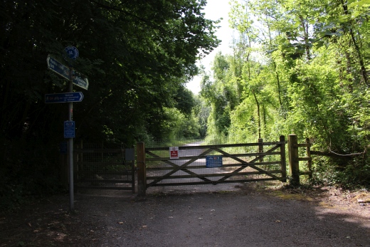

An Ex Level Crossing.
You could walk or cycle to Monkton Combe from here. A long tarred lane
which would have little more than farm vehicles on it.
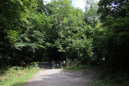
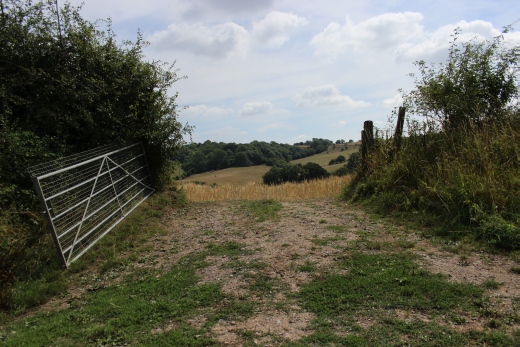
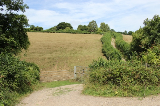
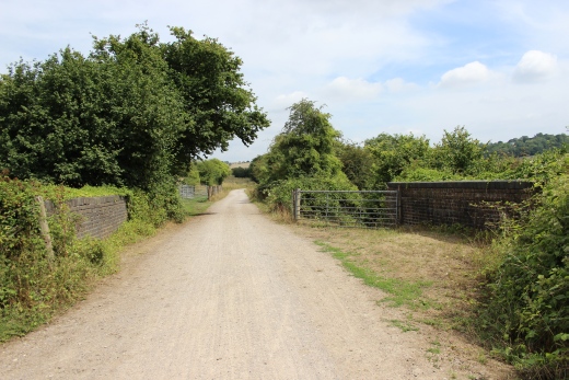
Ex Farm level
crossing.
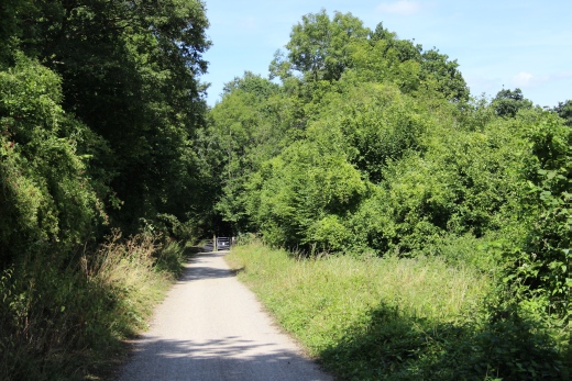
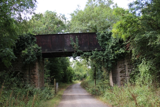
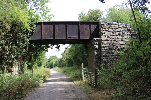
Farm access over
bridge, between Midford and Wellow.
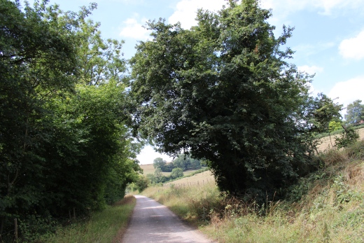
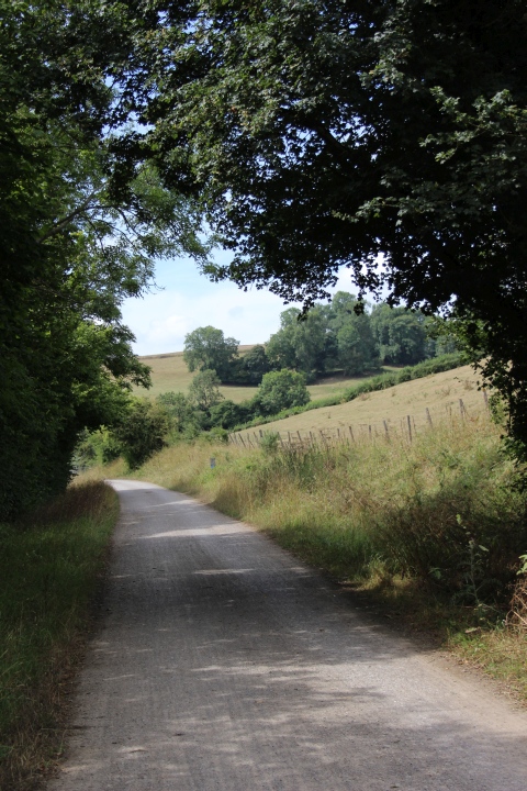
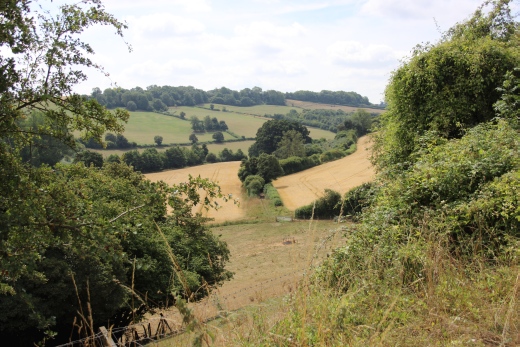
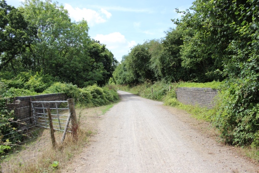
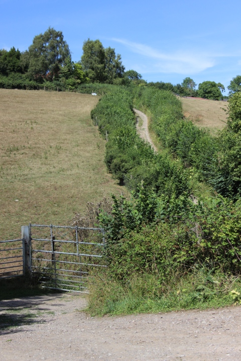
Country track leading
from Ex farm access crossing.
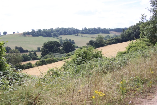
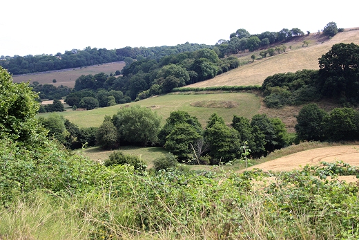
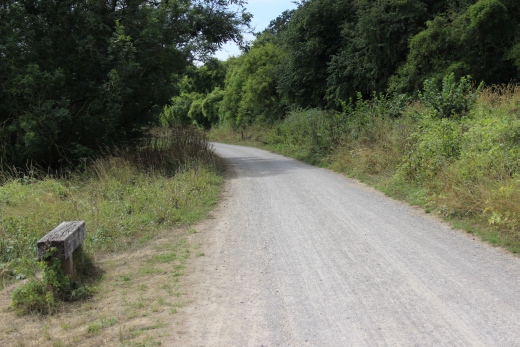
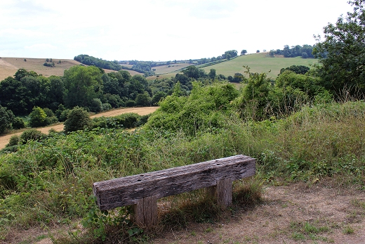
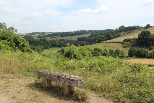
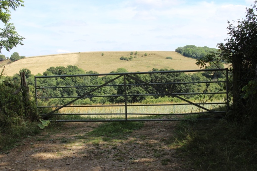
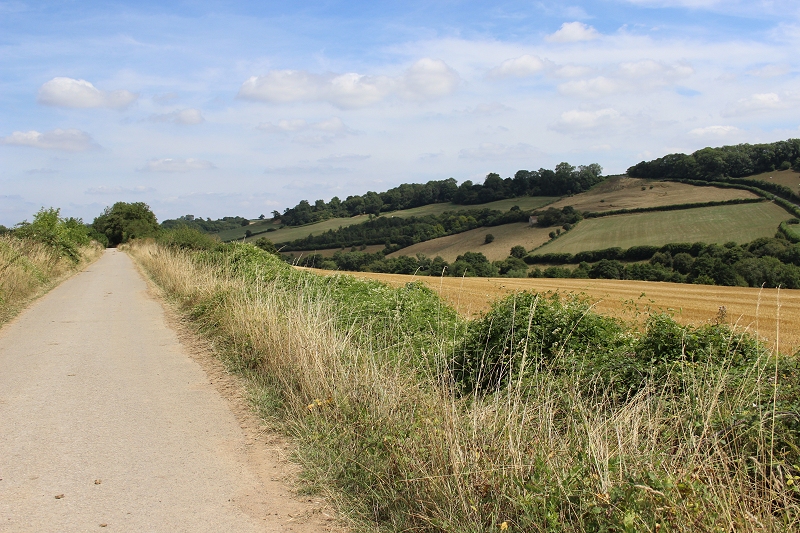
Looking back towards
Midford.
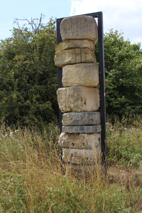
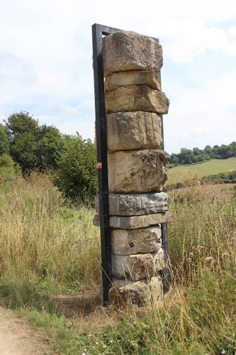
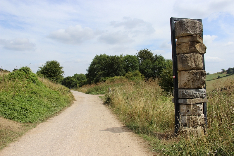
Stone Column by Jerry Ortmans.
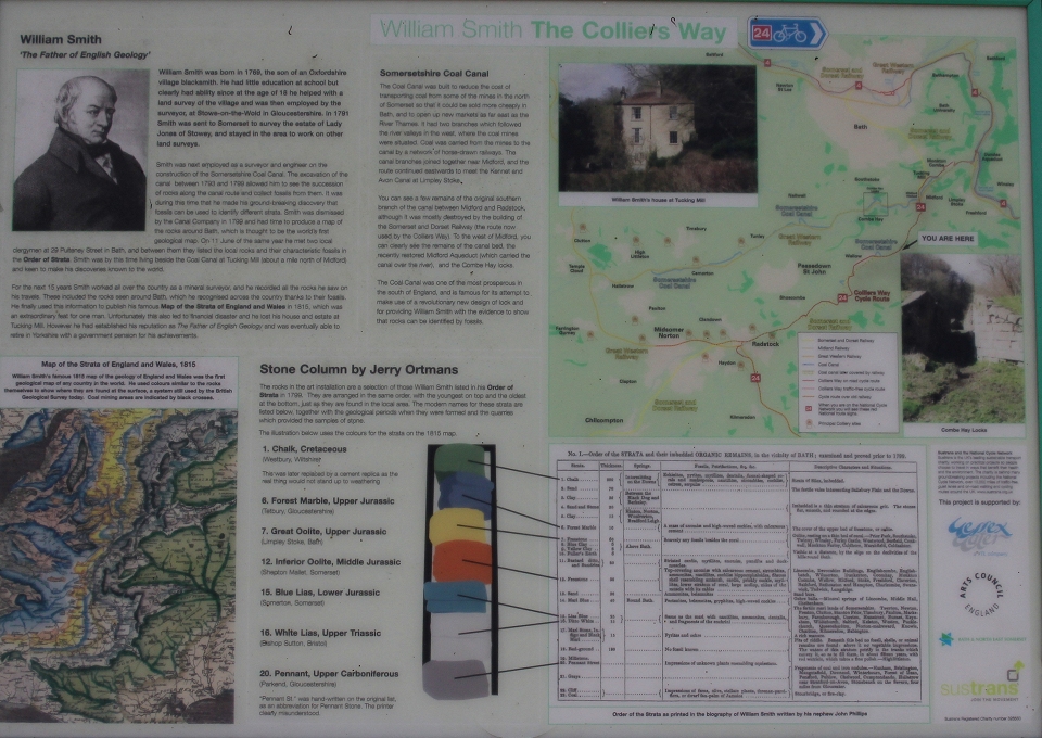
These stones represent
the ages and level ofthe land formation over the centuries. The
youngest stone starts is at the top.
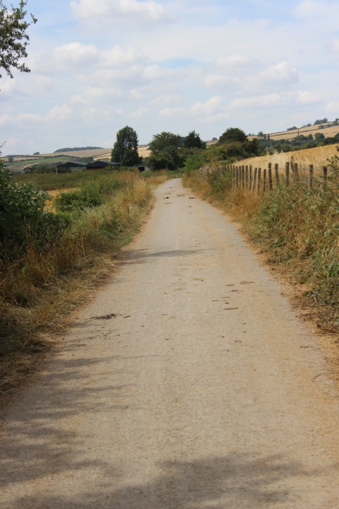
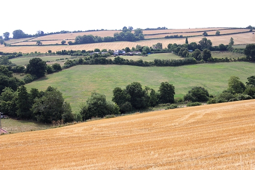
Wellow village up in the distance.
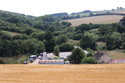
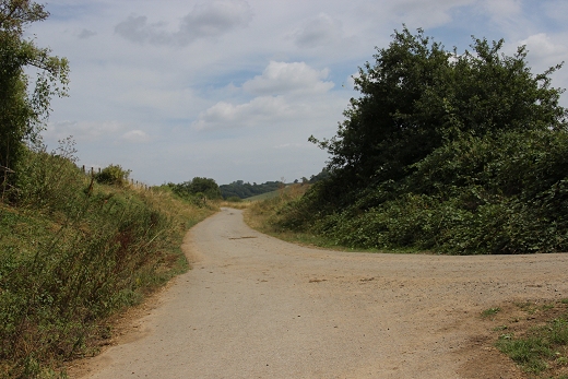
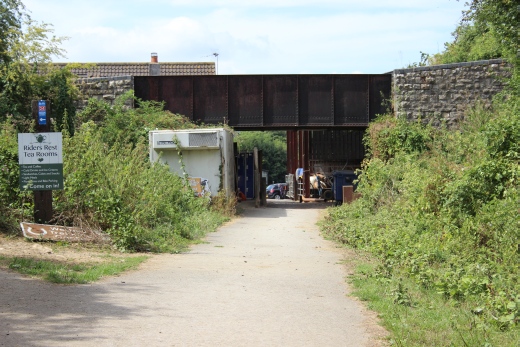
Left. This is where you
leave the track bed if you just want to walk the road into Wellow.
Take the path to the right.
Right: Straight ahead takes you into the Trecking Center on the other
side of this road bridge.
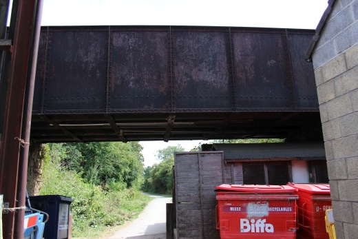
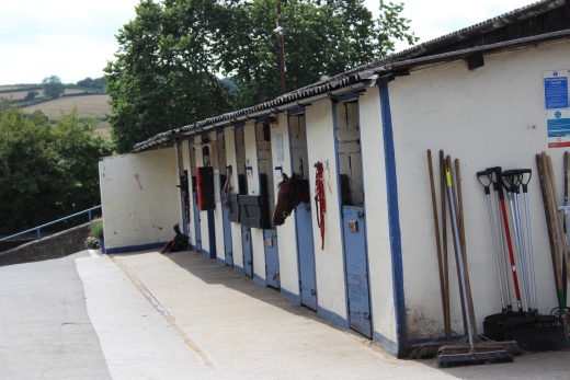
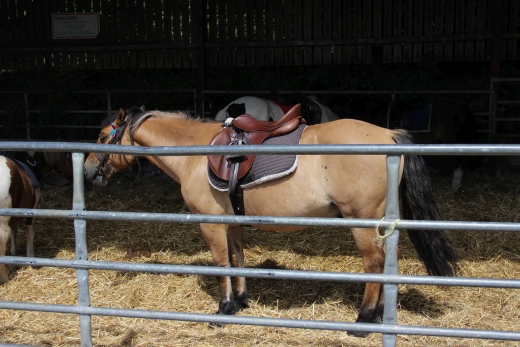
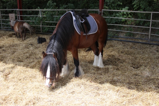
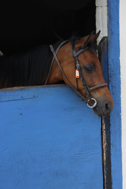
The
Trecking Center is private property and the end of the line as far as
going into Wellow. However there is a Cafe where you could stop a
while. It is a good half mile
into Wellow and is quite a steep climb from the Viaduct. But follow
the main road until you come to Station Road up past the church. The
signal box is down a side street
before station road and it controlled a level crossing at the
North end of the station. The station is private property so
please request permission first. I found the chap
at the house very friendly and he allowed me to look around. We also
enjoyed a pleasant chat. Do respect their privacy.
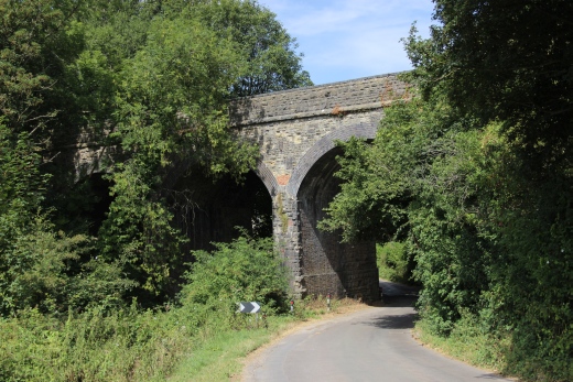
Left: The road
suddenly drops to where it goes under the viaduct, followed by a steep
rise up through the village.
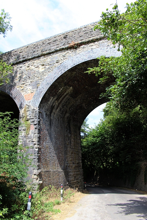
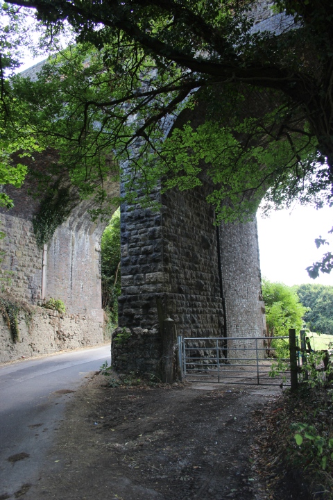
Wellow Viaduct. Left:
North
Face.
Right: South Face.
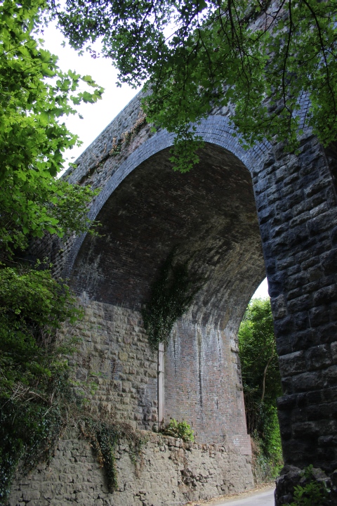
Wellow Viaduct.
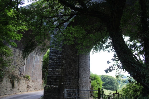
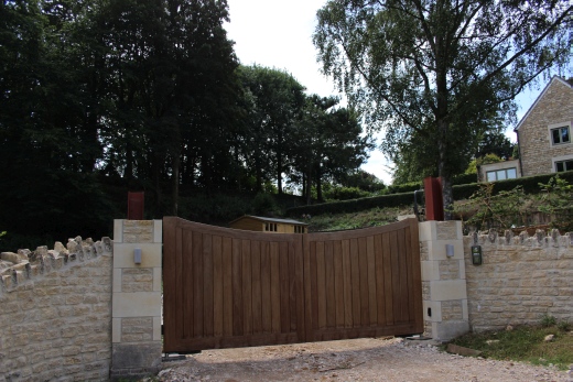
Right: On the steep
climb up to the village. The railway abutment, south side of the
viaduct, can be seen heading towards the station site.
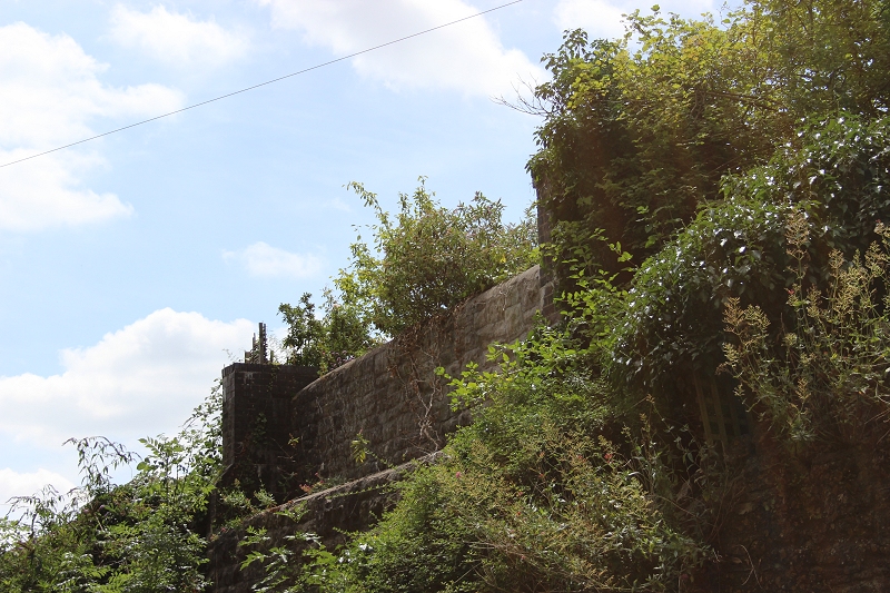
Ex railway bridge to the
north of Willow signal box. South abutment. On Mill Hill.
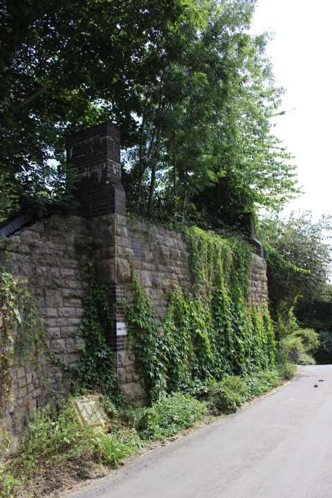
Ex railway bridge to the
north of Willow signal box. North side embuttment.
Mill Hill.
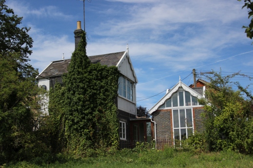
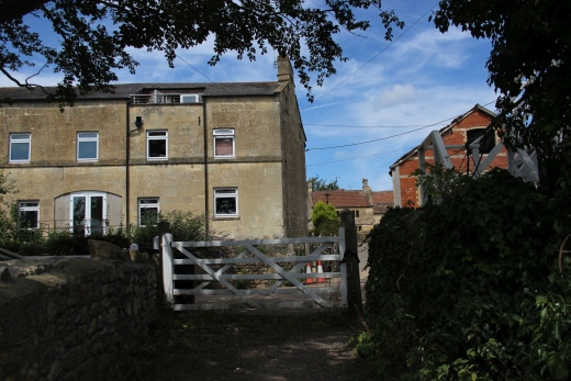
Left: Wellow signal
box. Rear
view.
Right: Ex Level crossing and gate. At Railway Lane. The track
running from the station left to right.
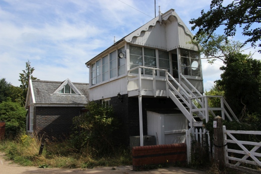
Wellow Signal Box
on Railway Lane. It controlled a level crossing at the
north end of the station.

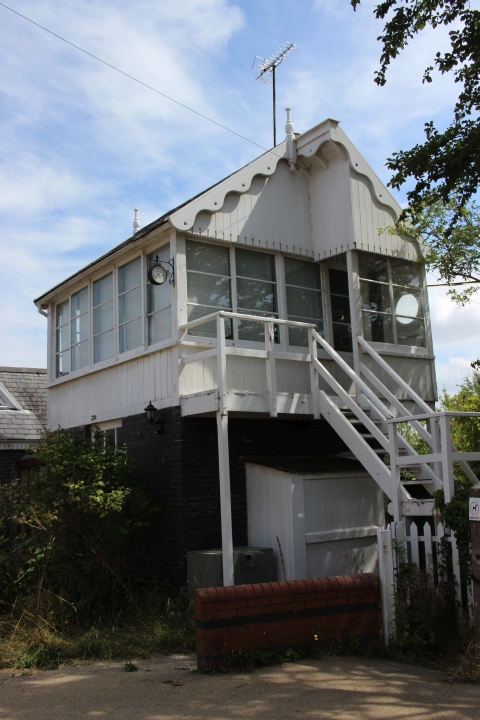
Wellow Signal box and
Railway Lane level crossing. (Author Unknown).
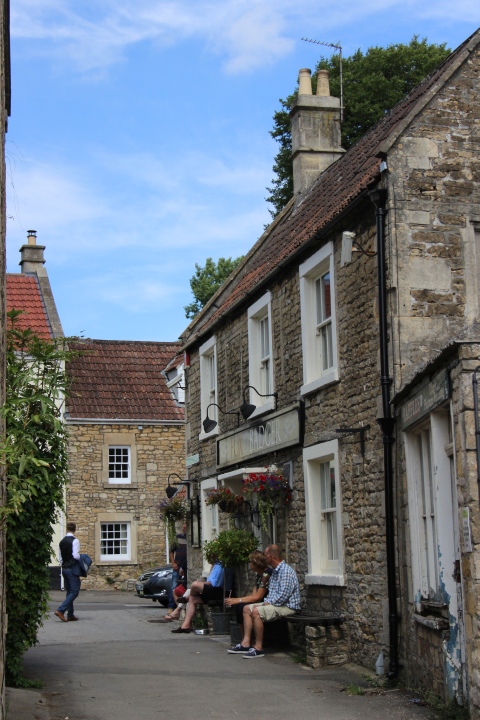
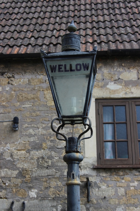
Railway Lane, Leads to
The Badger Inn and High Street. Alongside is this old station lamp
standard.To get to the station you need to get back onto the main
road, turn right
until you walk up to the junction with Station Road.
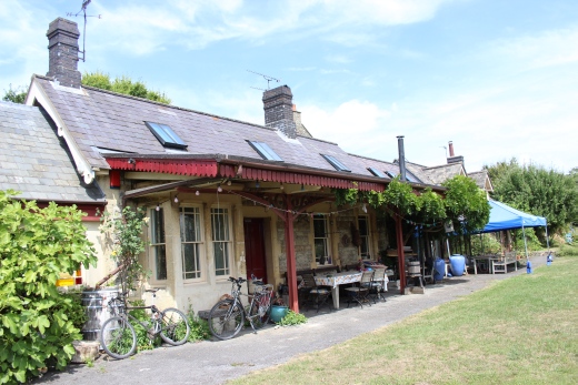
The station House at
the end of station Road. Please request permission to enter.
The Down Platform
(South end).
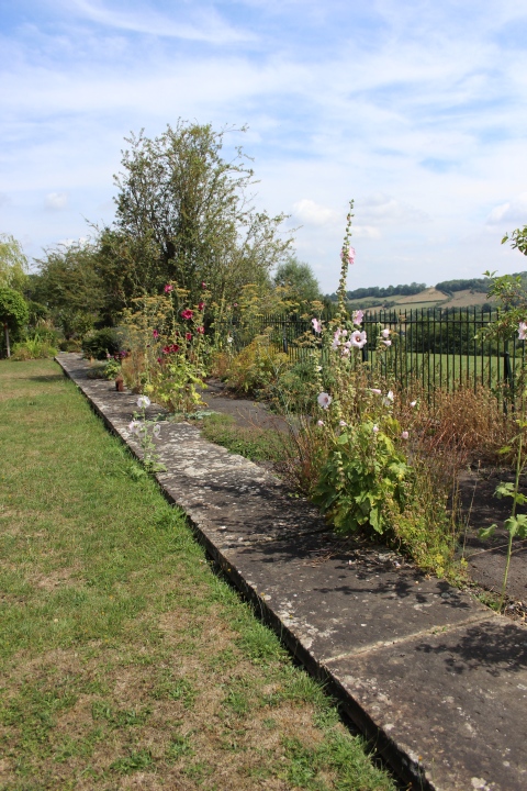
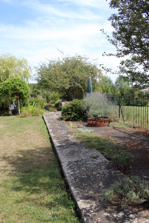
The Down Platform Edging.
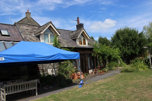
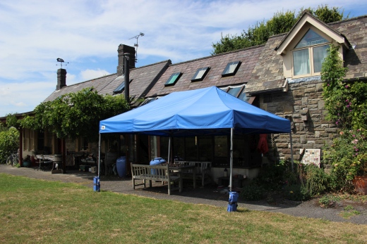
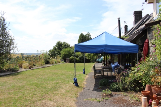
Here you can make out
the back-filled track Bed between the two platform edges.
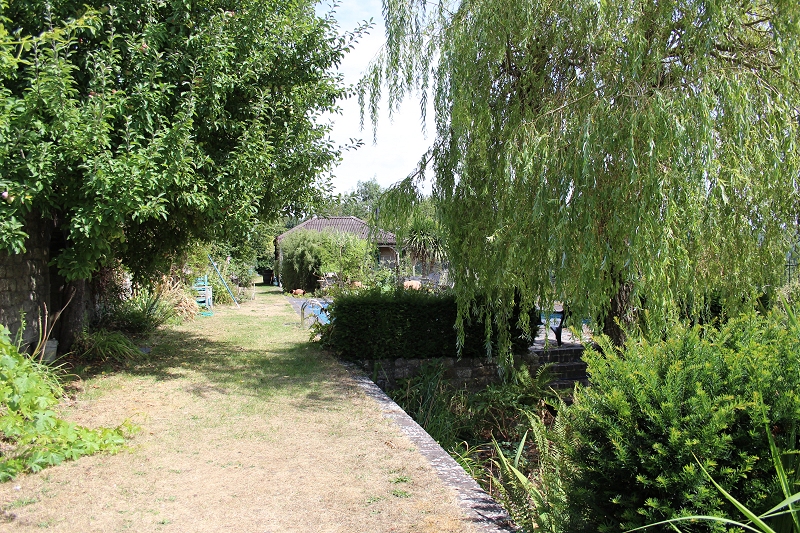
Looking northwards with
the gap between the two platforms to the right. The building in the
background is hiding the signal box.
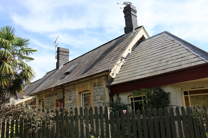
The Station House and
buildings.
Old Photos (From Flickr) Authors Unknown
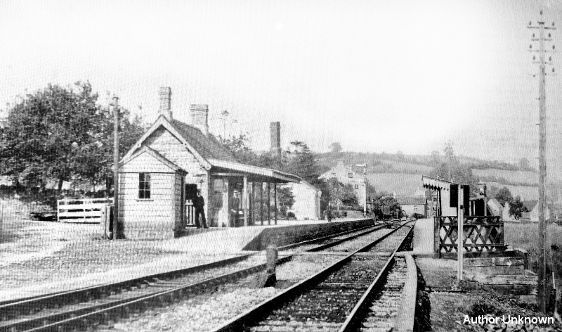
Wellow Station. (Author
Unknown).
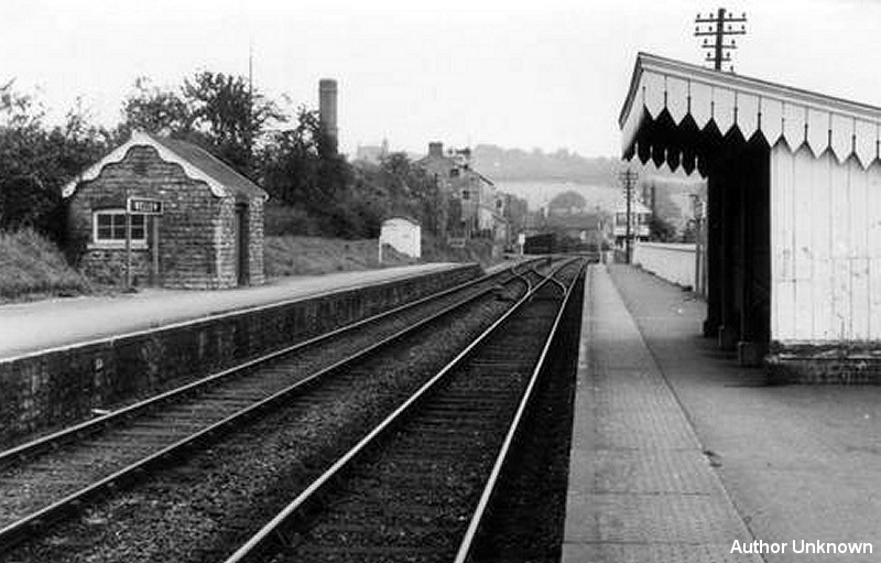
Wellow Station and
signal box. Towards
Bath. (Author Unknown)
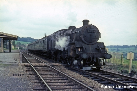
Wellow Station (Colour).
Author Unknown
The
railway track bed disappears for most of the way south until reaching
Green Street in shoscombe. There is interesting remains of the viaduct
that has been
oddly cut off at the south end where it crossed Green Street. However,
the track bed become another walking route right into Radstock by the
old station. You
can then continue walking the railway train from Radstock to
Midsomer Norton and then a little further south of thee where the path
ends for some miles
southwards to Binnigar..
==========================================================================
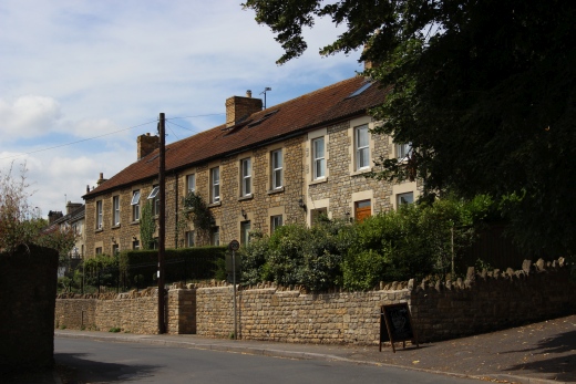
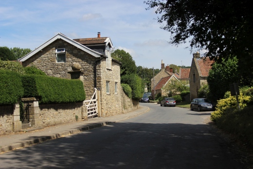
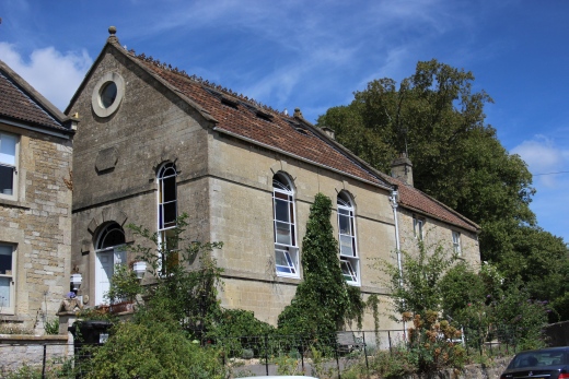
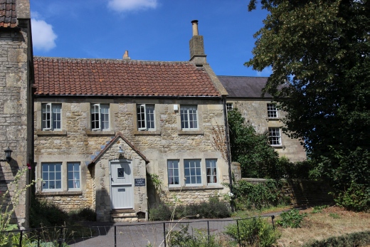
Wellow is a pretty little village. Here are some photos taken during walk to and back from the station site.
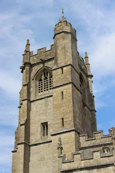
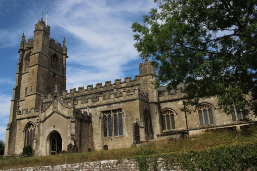
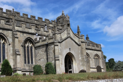
St. Julian Church. High Street.
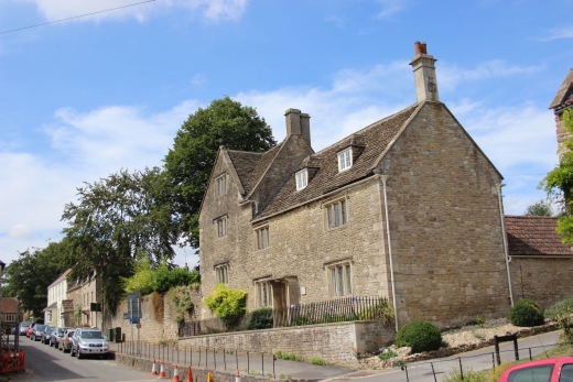
The High Street.
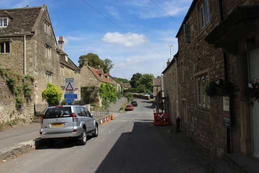
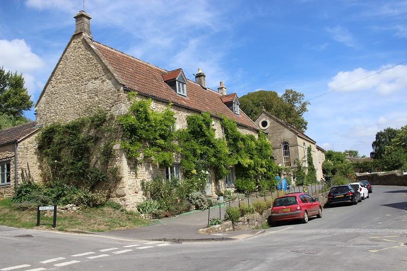
The cross road with Farm Lane and the High Street.
Methodist
Church 1869. High Street.
===========================================================================
To: Midsomer Norton To Radstock
Other railway walks:
The Dundee & Newtyle Rlwy Walks Opened in 1831 the route had three incline planes. The first was from the terminal station on Ward Street, up the Dundee Law, where there was
also a tunnel. The second was the Balbeuchley incline at Rosemill and the third at Hatton that ran down to Newtyle station. It was also the very first passenger train service in Scotland.
Worked by Horse over the levels until the first steam engine was purchased in 1833. Came under the Caladonian Railway with it's terminal moved to Dundee West station. Passengers
service ended in 1952 and the line totally closed in the mid 60's. The inclines were by-passed in the 1860's.The Cromford & High Peak Incline railway in Derbyshire has been luckier in having much of it's buildings, including an Engine House preserved. This is what could have happened with
the D&N, indeed, should have happened with at least one of the D&N inclines. However, the C&H gives an excellent comparison of what the D&N would have looked like, albeit the
inclines were only single track.Boddam To Ellon Branch (Walks) By Bill Reid. Ex GNSR branch line.
Dyce To Fraserburgh and Peterhead Walks. Ex GNSR
Bath To Wellow Rlwy Walks Ex Somerset & Dorset Rlwy.
The Test Valley Railway Walk. (New Mills To Hayfield).
All My Web Sites (Web Pages, Flickr and Videos).
Hosted by www.theatreorgans.com