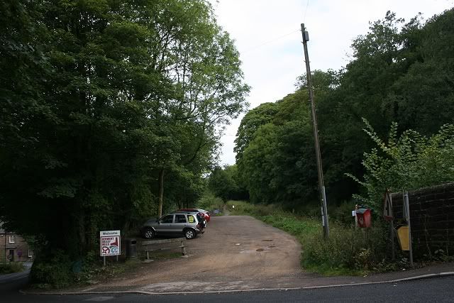
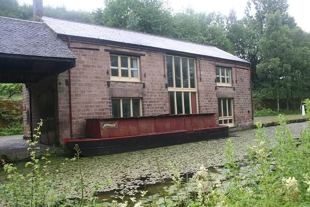
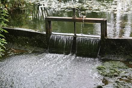
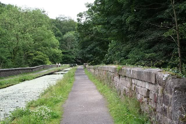
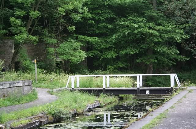
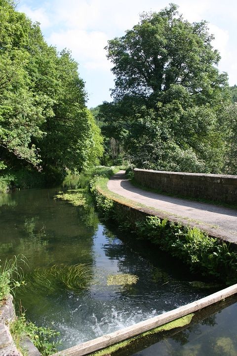
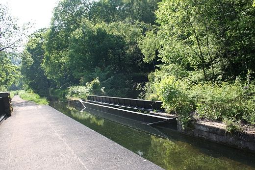
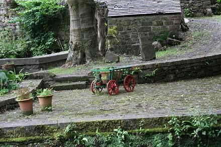
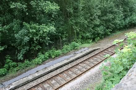
High Peak Visitor's picnic area, which was the goods siding, with the canal coming in from Cromford Wharf (Left).
CROMFORD CANAL WALK
(Update: June 2012)
WHATSTANDWELL TO HIGH PEAK JUNCTION
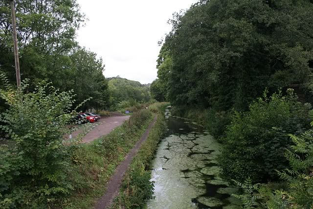
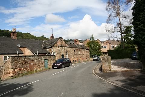
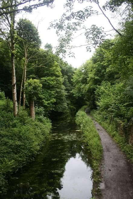
Starting From High Peak Visitor's Center we now take the canal walk back towards Whatstandwell station.
On my Aug. 27th visit the canal path was closed from Canal Wharf half way back to Whatstandwell due to renovation work taking place
on the aqueduct. This meant a detour northwards from the canal path and up over a heavy gradient to the Holloway Road and a walk
westwards through the village before arriving at the High Peak Visitor's center. While this added some time to my walk it also gave me
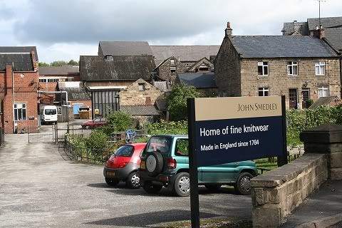
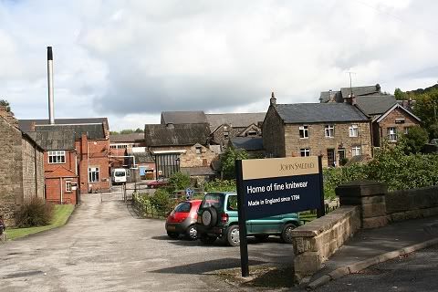
the opportunity to pass by and see the Ann Nightingale Memorial Hall and grandfather's mill, which still operates today as Smedley's,
which was very interesting. Sadly, I didn't get to see the Leawood Pump working as it only operated on the Sunday and the train
service isn't convenient enough for me to make it worthwhile. I also tried to find B&B in the area to make it a weekend visit but that
was also unsuccessful.
High Peak Visitor's picnic area, which was the goods siding, with the canal coming in from
Cromford Wharf (Left).
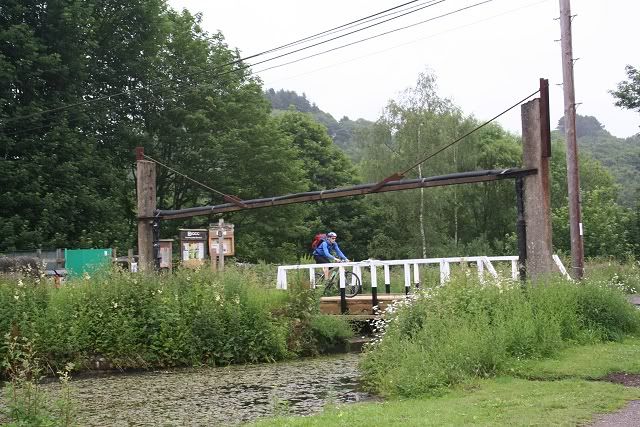
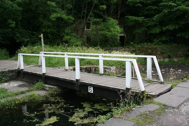
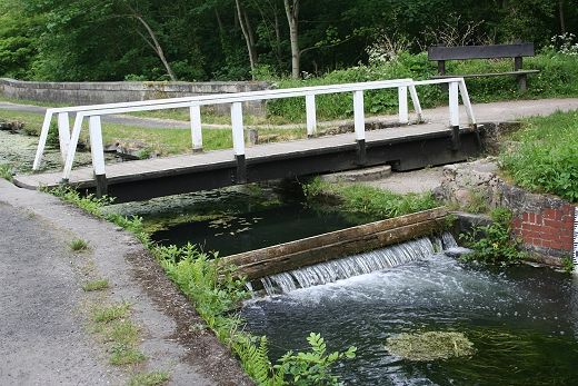
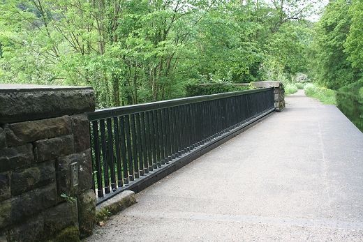
The Swing Bridge
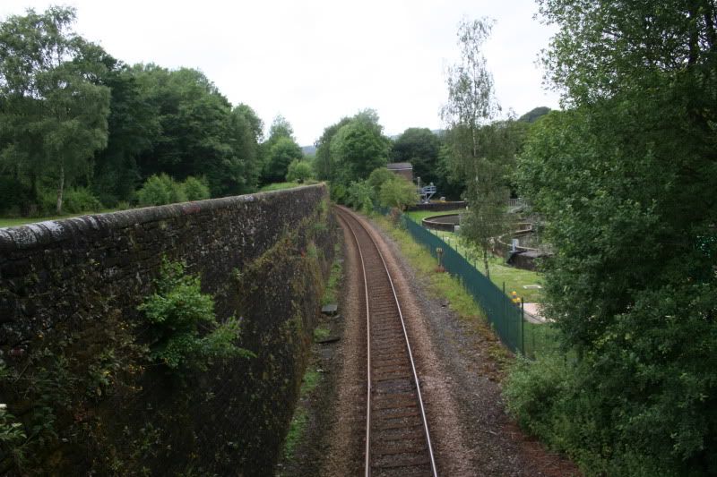
The Matlock branch runs behind the canal. Here you see the large
retaining wall that had to be build to hold the canal up when the railway was
being built.
You know that the sewage plant is there without seeing it!
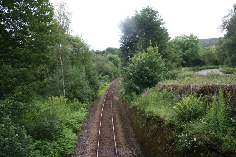
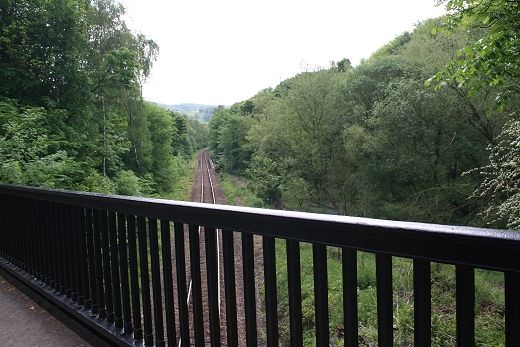
Looking southwards with the railway and canal running towards
Whatstandwell and Ambergate
Looking eastwards towards Whatstandwell
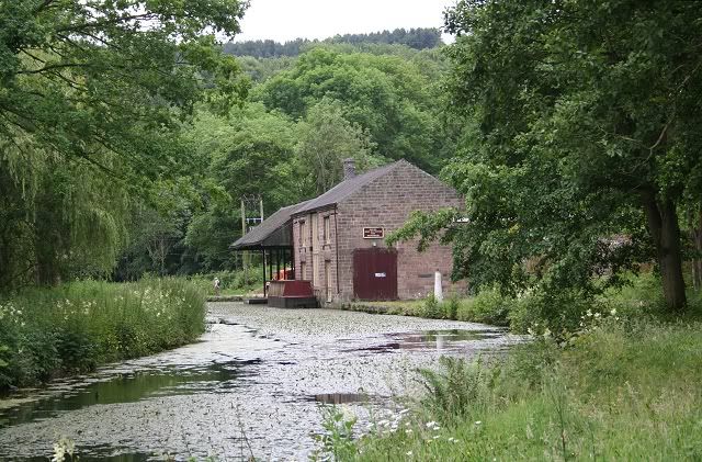
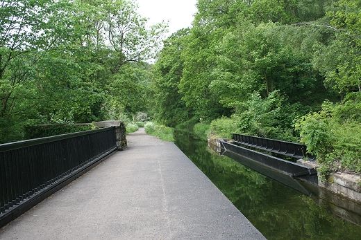
Passing the Wharf and the Hostel from the canal path
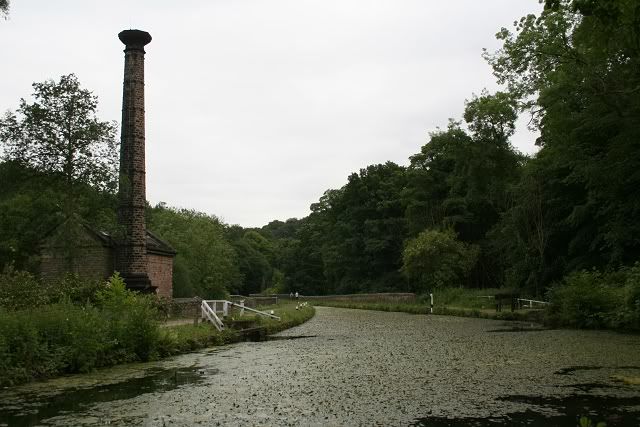
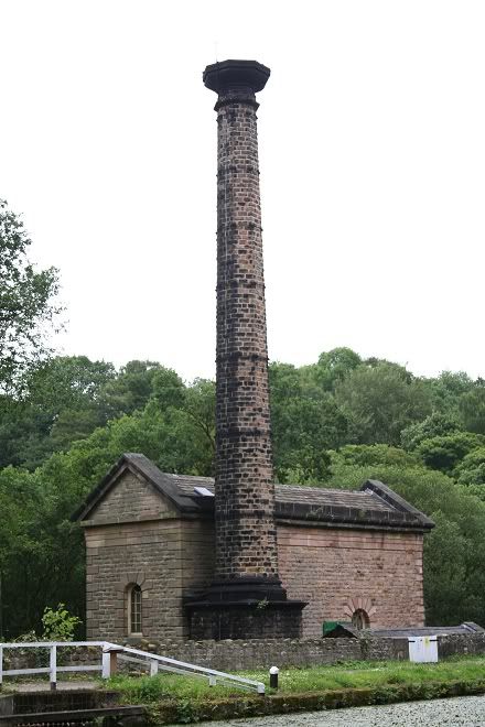
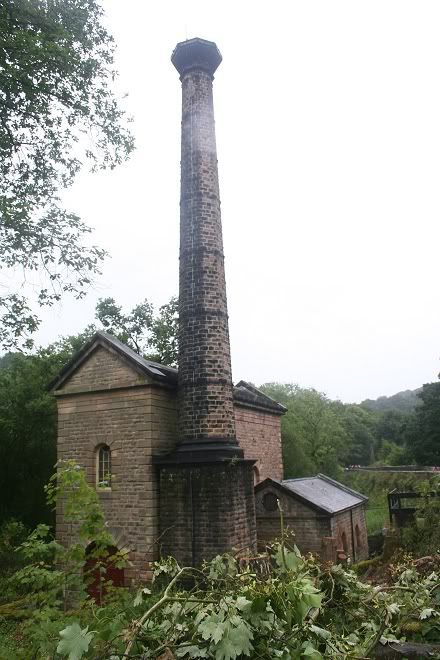
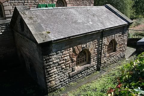
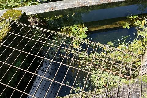
Leawood Pumping House (1849) and the (fenced) spot where the water is
pumped into the canal
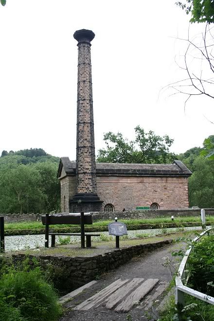
Leawood Pump House from the south side of the canal
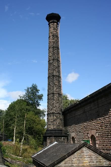
The Pump House from the north side of the canal. The two arched
doors is where the two static steam engines are.
Left: July 2011. Right: August 2011
August 27th Photos. I visited on the Bank Holiday to see the pump
operating but got it wasn't until the following day. (27th August 2011)
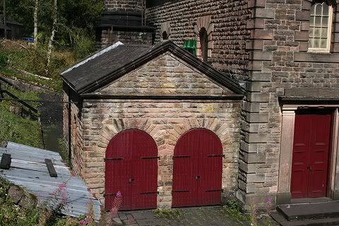
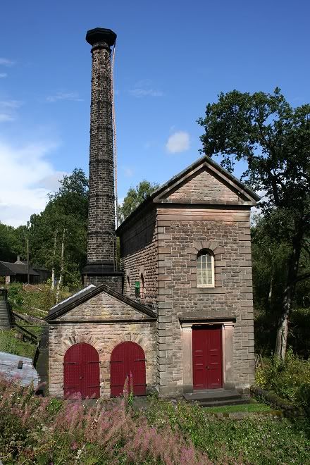
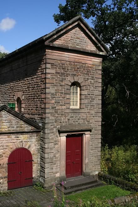
Left: The two doors represent the two steam engines while the
pump is in the right hand building. Right: The steam engine house is of local
stone and nicely designed.
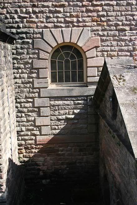
Likewise, the windows of the pump house are pleasantly designed
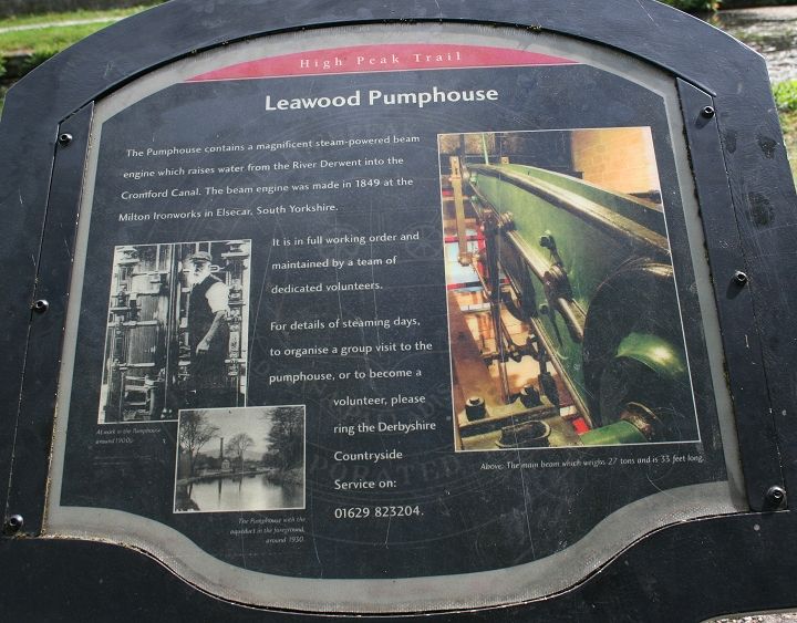
The official Information Guide
Leawood Pumphouse Engine Video (DerwentValleyMills YouTube)
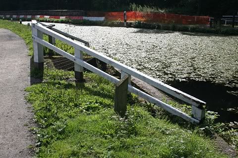
A sluice on the railway side of the canal
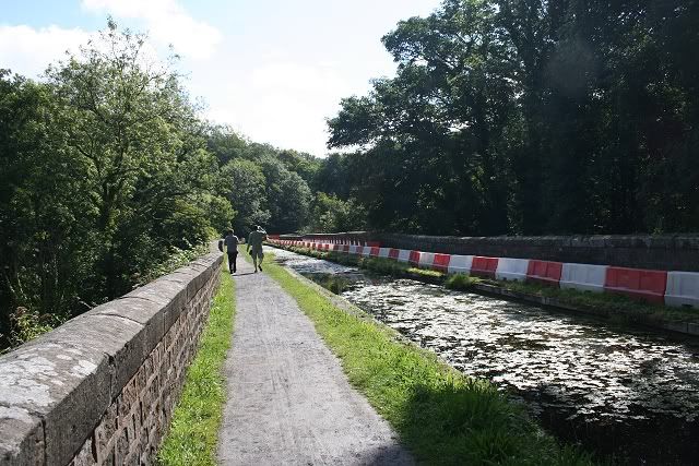
August 27th Photos. The site where the water is pumped into the
canal. Left, you can see the barriers set up while the renovation work on the
aqueduct takes place. (Aug. 2011)
The canal viaduct that runs above the river Derwent. Looking
towards the swing bridge where the two canal paths merge
as one towards Whatstandwell and Ambergate.
August 27th 2011. The canal path from the end of the aqueduct to
Whatstandwell was closed due to the renovation
work taking place below. The barrier is to protect the workforce and the
equipment taken too and from the work sites.
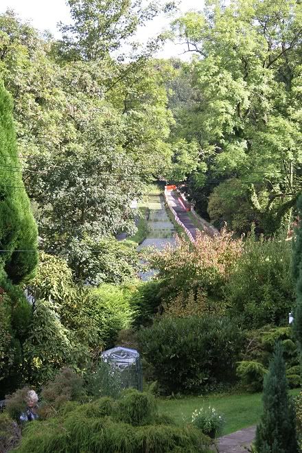
Looking down on the aqueduct. Taken from the A6 while walking
back to
Whatstandwell on the 27th of August.
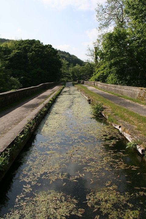
On the Canal viaduct over the River Derwent. Quite a magnificent
piece of engineering. The canal was designed to
keep the canal as level as possible through the valley and avoid the need for
locks
The Canal Viaduct. Looking towards Whatstandwell
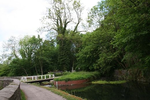
The second swing bridge at the point where the Leawood Arm joins
trhe Cromford Canal
The derelict Aqueduct Cottage that was used by the lengthsman for
the Arm.
The Cromford canal is effectively cut off at this point and there
is a section of dried up canal bed where it meets the
Leawood Arm which runs northwards to the Nightingale textile mill, which still
runs today as Smedley's. The canal
was spit in a number of
places and much of it filled in and/or
developed for building sites especially around
Ambergate and further east. There
are plans to try and reinstate as
much of the canal as possible.
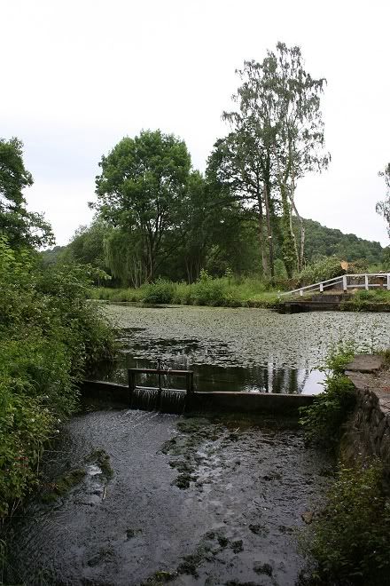
May
2012. Showing the water running freely.
The Leawood Arm, leading off from the main canal, to
the right. (May 2012).
Left: The water is running freely and the leaves and
silt are carried off.
Right: The cleaner water running over the weir and
ariating the canal, onto Ambergate. (Both May 2012).
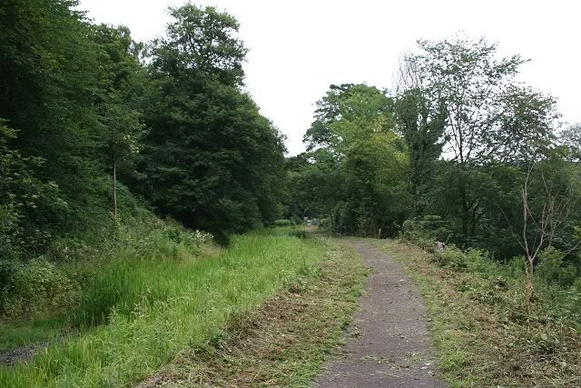
Workmen had been trimming the path verges. The canal is wildly
overgrown along this stretch towards the tunnel..
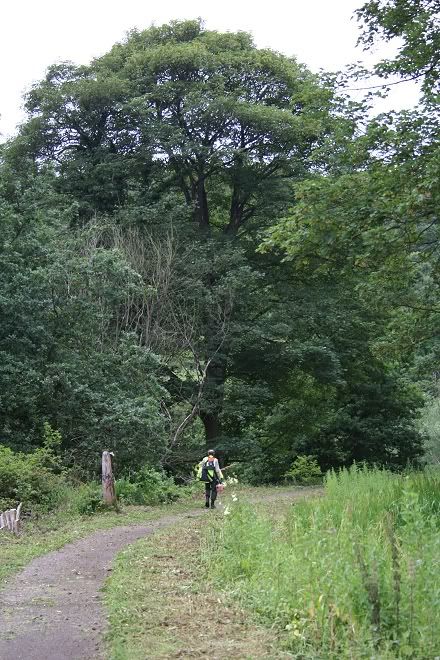
One of the workmen
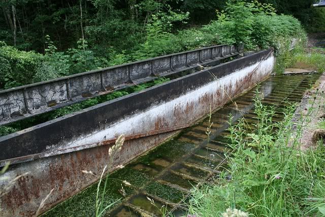
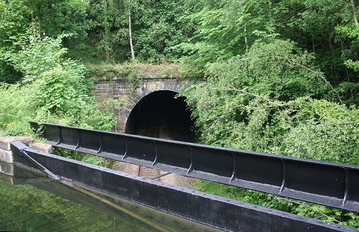
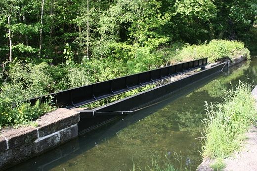
Leawood Aqueduct over the railway is in a very poor state but the
open framework lets you see just what a massive job it
was designing and constructing the structure. Plans are already in hand for the
complete refurbishing of the aqueduct.
The south side of the the viaduct is still quite complete but the north side has
completely gone and will require
considerable
work and expense to replace the flooring.
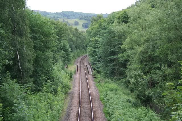
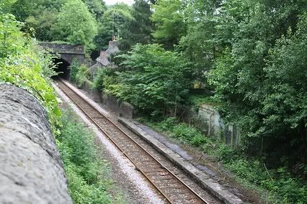
The railway below the aquaduct. looking south towards
Whatstandwell and Ambergate junction. High Peak Junction
was just
up around the corner. Notice the unused bridge which carried the Up line before singling took place.
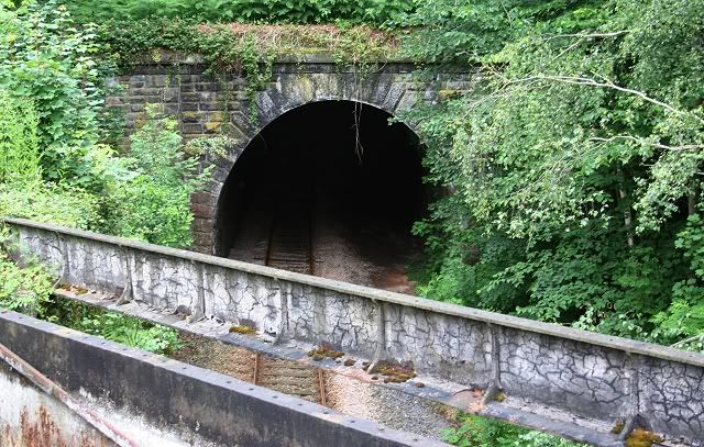
The railway tunnel on the north side of the aqueduct. This also
demonstrates the difficulties found on building the canal
and keeping it stable, followed by the incredible work involved in
building the railway and the tunnel below it. The
railway was the work of George Stevenson as was the aquaduct. The line is running towards Cromford
and Matlock.
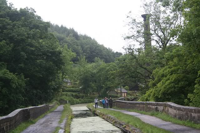
As reported here, the footpath had been closed due
to renovation work taking place. As it turned out it was the old aqueduct over
the railway that was being renovated. Here are some phoitos
taken on the
29th May 2012 showing the excellent work carried out on the
aqueduct.
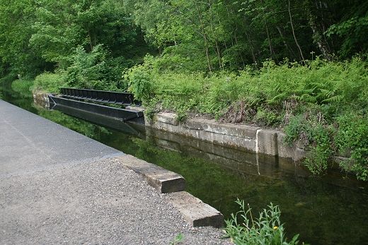
Not only the metalwork looks nice but the canal water is also
flowing freely and cleanly once again.
------------------------------------------------------

The sandbagged section is where the water from the Nightingale
Arm to the north of the canal still flows. This was built
for Nightingale's great uncle who owned mills in the area. Florence financed a
tearoom she had built in a warehouse
by the canal.

Much work has taken place here to crop the trees back and protect
the embankment.
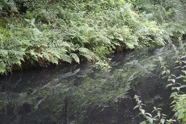
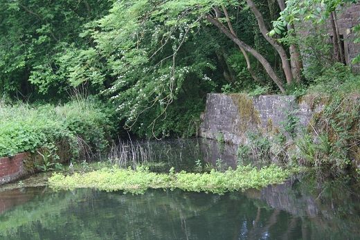
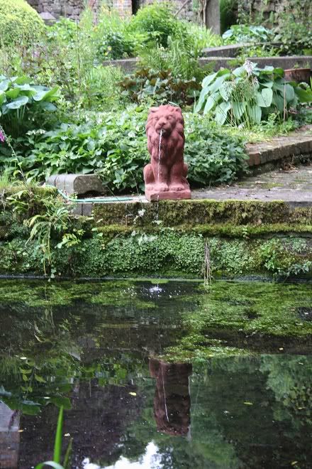
The reflection of the Fern makes for a nice contrast and pattern
===============================
The Ann Nightingale and Smedley's Mill Connection at Holloway
On the 27th of August 2011 the Derwent Canal walk was cut off due to refurbishment work taking place on the Cromford Aqueduct. The diversion took me through Holloway village and
gave me the opportunity of passing the sites of the Ann Nightingale Memorial Hall and her grandfather's mill of 1784, known today as Smedley's.
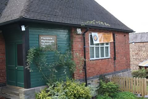
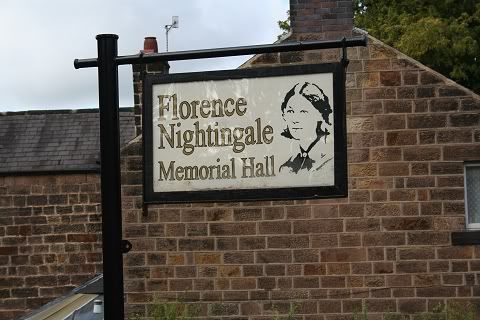
The Ann Nightingale Memorial Hall, Holloway, Derbyshire.
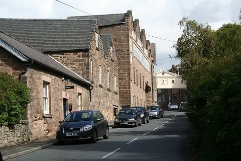
The John Smedley's mill at Holloway
========================================
Continuing the Canal walk towards Whatstandwell..............

A momentary gap between the path and the railway. I heard the
train coming and just had time to point and click the camera
to capture it as as it sped past, heading for the tunnel and Whatstandwell
station. I couldn't get any real shutter speed due
to the heavily overcast sky, the shaded area and the speed of the train passing
so close. With this train passing I knew
I had a complete hour to catch the next one and being within 15 minutes walk
from the station I could relax and enjoy the
remainder of the walk. I also had the Derwent Inn in mind for some nice
refreshment!
Looking back from the north side of the tunnel mouth and the bend
in the canal makes for a very pleasant scene in spite
of the weather, or perhaps because of it! You don't always need bright sunlight
to get a nice image. If you look at the
path, on the left, you can see just how wet and muddy the walk was at the time.
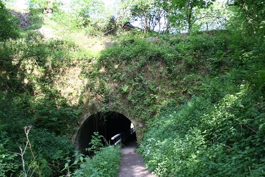
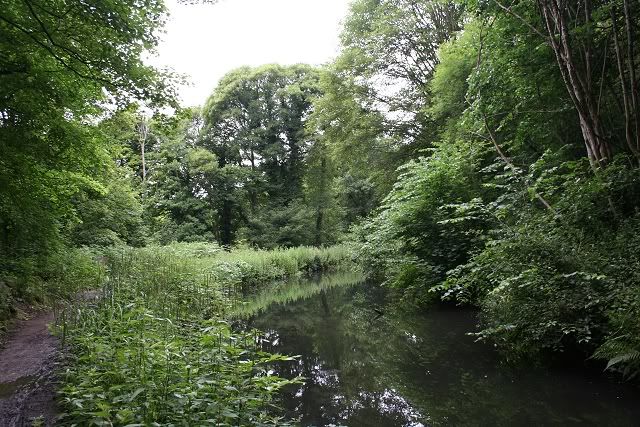
The western approach to Gregory
Tunnel.
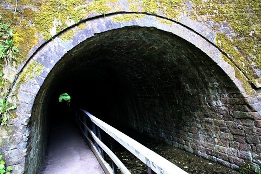
Gregory Tunnel: While the canal was designed to avoid locks this spot met a hill
that required the only tunnel to be
built on the canal
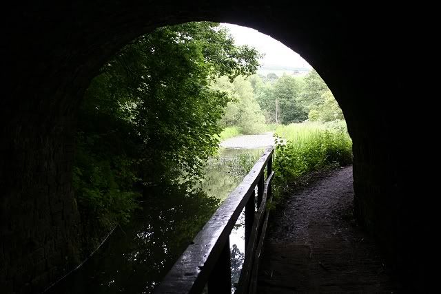
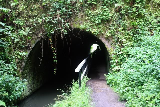
From The tunnel the canal opens up to an area known as the
''Winding Hole''.The canal water is a collection of drainage
from the hillside and small streams.
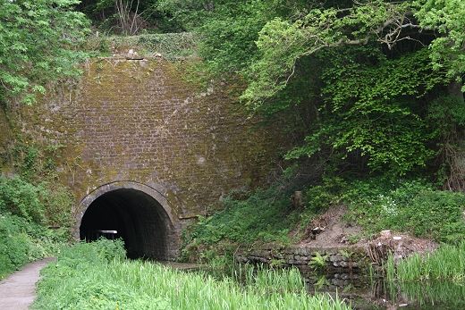
The eastern entrance to Gregory Tunnel (May
2012)
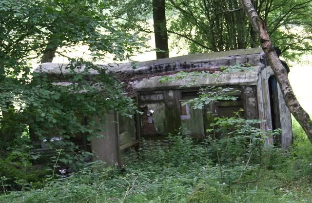
An unexpected find! An old passenger coach lies derelict in the
field between the canal and the railway. Makes you
wonder how they managed to get it there, and why!
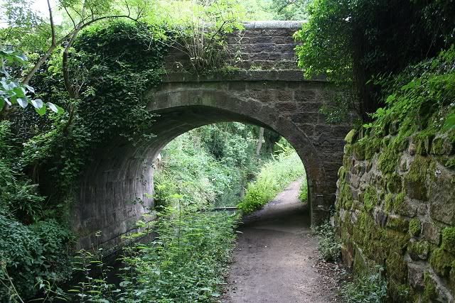
Hump Back Bridge (north side)
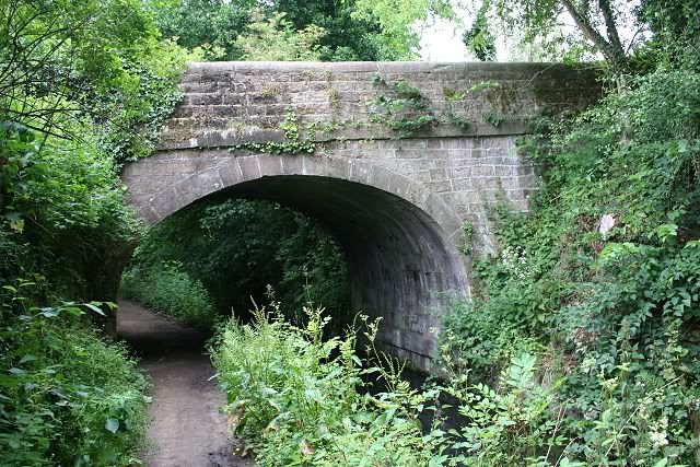
Hump Back Bridge (south side)
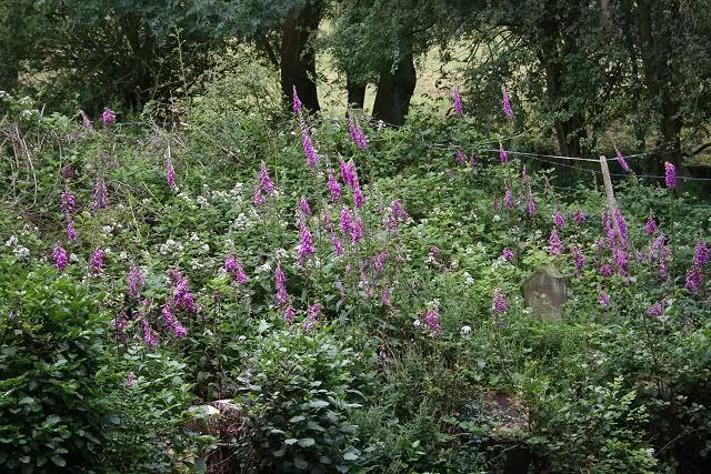
These Foxgloves make a nice contrast
May 2012 in fine weather. Near the
hamlet of Robin Hood.
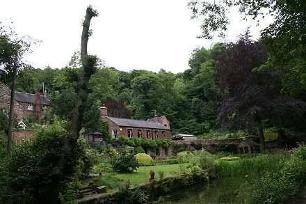
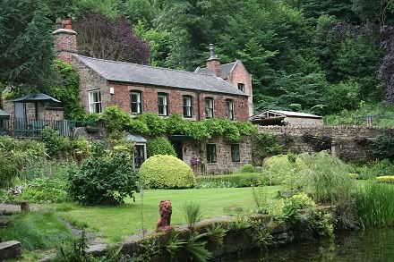
This beautiful house lies in
the hamlet of Robin Hood. It is
quite a way from Sherwood Forrest. Today the house is set up for B&B. The area above had a
number of small
quarries that will have
built up business for the canal and rich rewards for the owners The house may
have been the actual sawmill. .
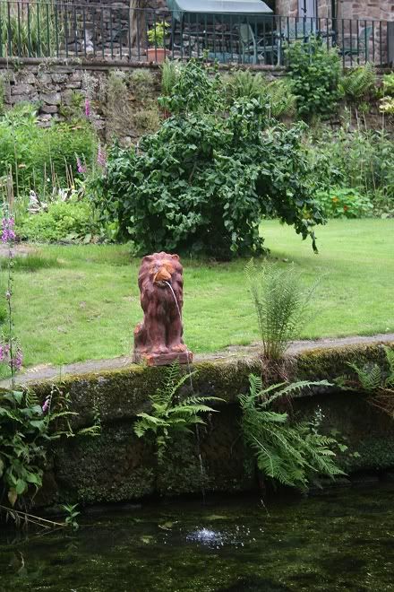
There are two Lion statues each end of the garden. The heavy
stone embankment indicates that there was probably one or two Wharfs along this
length of the canal.
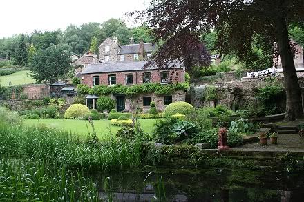
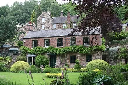
It would be interesting to know if the house had actually been a sawmill and has
been converted at some time!
Another surprise was looking over the wall in a short clearing
and finding this deserted platform at the north end of the tunnel. Whatstandwell
station is immediately
at the southern end. This got me looking into the history of Whatstandwell and
it's railway and I found that this was the original station. There was also a
goods yard,
which remained up to the 60's. The entrance to the
station and yard was by the Derwent Inn. Apparently there
are still a couple of railway
buildings to be seen there.
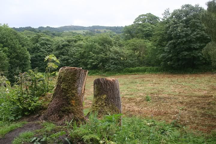
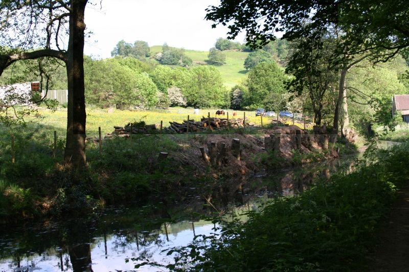
From another gap on the path these two tree stumps made a nice foreground to a pleasant, if rather soggy scene. Above the hill in
the distance the Sherwood Forester's Memorial Tower (The Crich Stand) can just be seen. Below the rocky hill is the National
Tramway Museumand it was interesting to realize that, being a Saturday, electric trams would have been running way up on
the hillside at that moment.
Lovely wooded area but which retain the water after rain. It can get really messy underfoot.
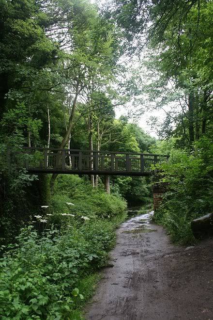
The wooden bridge in bright and dry conditions. May 2012).
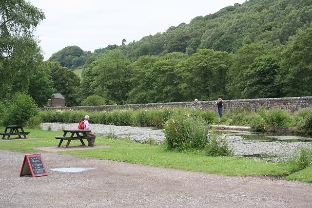
It was just a few minutes walk to where the canal path met the Crich road then down the hill to the A6 by the Derwent Inn
and a few minutes walk to Whatstandwell station.
The end, or the start of the Canal walk at Whatstandwell, where it meets Main Road. (Aug. 2011)
View northwards from the road bridge on Main Road. The canal path from Ambergate meets the start of the
footpath from Whatstandwell.
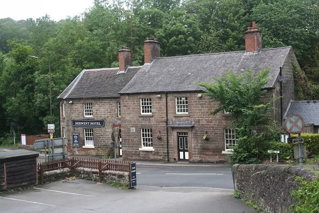
The Derwent Inn (Hotel). Sits on the junction of the A6 and 'Main Road' to Crich. The railway tunnel runs below. The old
station entrance was at the road junction and went around the back of the Inn, where there are still a couple of railway
buildings to be seen. The opening for the canal walk is up to the right, past the old station house and on the left just prior
to the bridge crossing the canal. As mentioned, I was looking forward to some refreshments at the inn but found it closed
''For Technical Reasons'' a notice on the door proclaimed! Quite a disappointment and finding myself with 40 minutes to
wait for the train plus another 20 minutes journey before arriving at Derby.
=====================================================
Back To WHATSTANDWELL STATIONS (Old & New)
Back To HIGH PEAK RLWY WALKS INDEX
My Thanks To.....
John Neave for his kind permission to use a number of his 1960's photographs when the railway was still in operation. Check out John's ''Going Loco'', which includes a C&HPR history. At....
http://goingloco.neave.com/Mark Norton for the use of 1940's photos by his late father Dennis J. Norton.
http://www.photobydjnorton.com/CHPR_Menu.html#LinksJohn Evens for the fantastic colour photos taken in April 1967 just prior to the line closing. John's photos can be viewed on Flickr under JodrelAviator.
Reading: "The Cromford & High Peak Railway" by John Marshall. Published by Martin Bairstow. Printed by The Amedeus Press 2011
Other Railway Walks....
The Dundee & Newtyle Railway The first passenger railway in Scotland built in 1831, which had three inclines operated by stationary steam engines. The main source of income was from
the numerous stone quarries in the area and local farming produce. Passenger numbers were always sparse.
The inclines were abandoned in the mid 1800's by new deviations that allowed through locomotive running.
The line also included the Dundee Law (Hill) tunnel built at 300ft above the City. Both the north & south portals of the tunnel are buried below modern housing schemes.
Passenger services ended in 1955 and the line closed completely in the mid 60's.
Unlike the C&HPR none of the Engine houses were preserved. The inclines can still be followed but sections have been back-filled or ploughed over
This web site tries to cover as much as possible.Boddam To Ellon Branchline Built by the GNSR in the latter part of the 20th century. The passenger service only lasted until 1934 but goods remained up to total closure in 1949.
The GNSR built a large Golf course and Hotel at Cruden Bay, with an electric tramway between the station and hotel. All that remains today is the Golf course.Other web pages....
Kittybrewster Memories. Kittybrewster Loco Depot, Aberdeen.
Tivoli Memories The Tivoli Theatre, Aberdeen.
Hosted by www.theatreorgans.com