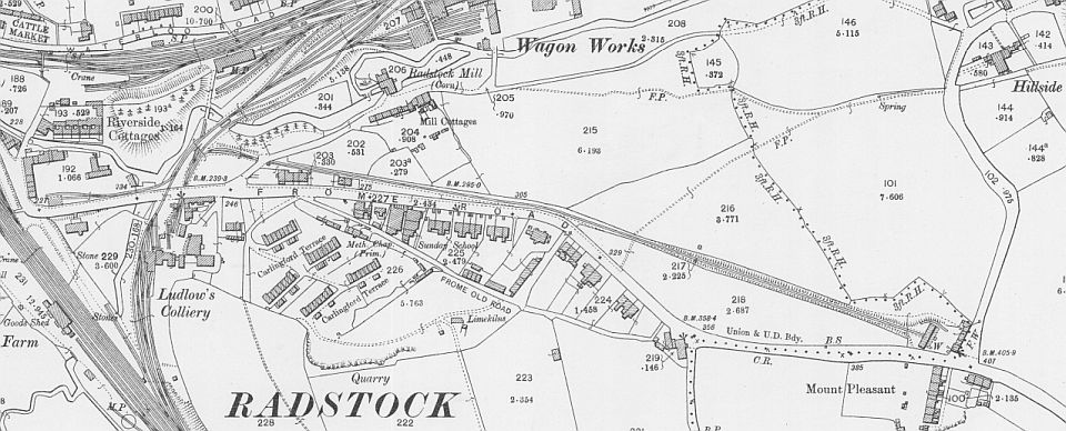
The Ludlow-Mount Pleasant tramway from NLS Maps.
LUDLOW
TO MOUNT PLEASANT COAL DEPOT (Radstock)
(From a visit on the 4th of
November 2020)
(Updated
27th June 2021)
Ludlow
Colliery had two coal tramways. One went to the Batches at Tyning
Colliery that climbed over the S&D main line and the other was to
Mount Pleasant Coal Depot on the Frome Road. From Ludlow
Colliery the line dropped down under Frome Road from the mine and a
junction
on the S&D side led off under Mill Lane, following the rear of the
houses along Frome Road to Mount Pleasant Coal depot, which itself was
just a short distance from the Upper Writhlington incline and coal
depot that crossed Frome Road.
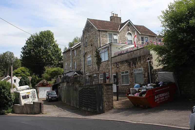
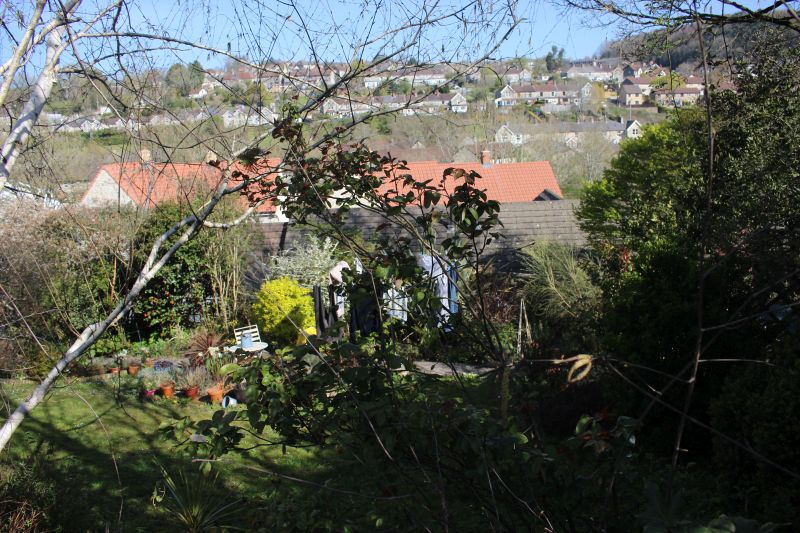
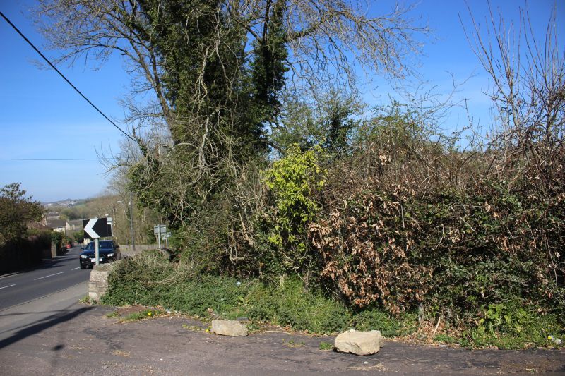
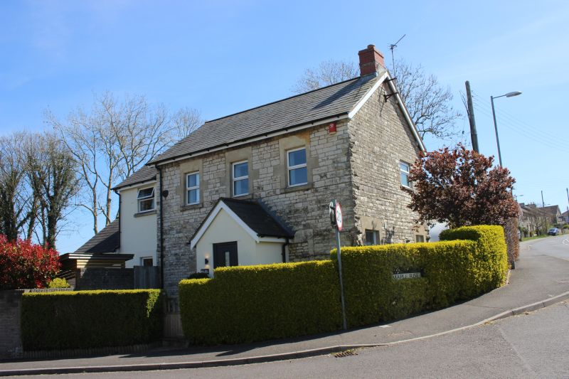
Mount
Pleasant Coal Depot covered the land at the top of Hillside Lane and
which today is the Maple Rise road. Nothing remains of the depot
but two houses are original with present day extensions added. Much of
the site is under Maple Rise splitting the site in two.
The Ludlow-Mount Pleasant tramway from NLS Maps.
An excellent map of the layout at Ludlow Colliery. Shows the complete
railway layout. The line from the GWR ran through the colliery,
crossed Frome Road on the level and the branch continuing to Tyning
colliery. A siding ran below the bridge carrying the branch over
the S&DR with a branch heading off to the S&D Sidings. Both lines
crossed the Wellow Brook. The river bridge is still there today but
unused and blocked off. The branch and incline to Mount Pleasant coal
depot ran out of the colliery more on the right and below Frome
Road where it then turned sharply to head for the coal depot. It had to
drop below Mill Lane which was not so far east than it is today
and is completely redesigned to handle present day traffic at the Frome
Road junction. On the far left at the turn of Frome Road too
and from the station you can just make out the public subway that went
below the full width of GWR tracks. The subway started pretty
much where the bus stop and shelter by the Co-op shop is today.
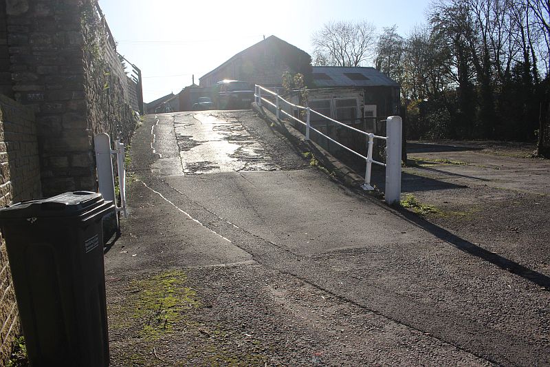
The Mount Pleasant track came out of the coal mine and down this ramp.
On the right are the sidings that came
through Ludlow Colliery from the Bristol & North Somerset
line to Tyning Colliery.
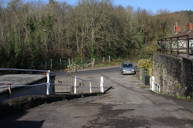
Looking down the ramp the line dived under Frome Road to the sidings
on the other side and the junction to Mount
Pleasant Coal Depot running under Mill Lane towards Mount Pleasant.
You can see the gated entrance where the
Tyning branch crossed Frome Road. There was also a trailing junction
where a spur ran off to the left up to a factory
by western corner of Frome Road.
The car sits on he incline track bed just after it came back into the open
below Mill Lane road.

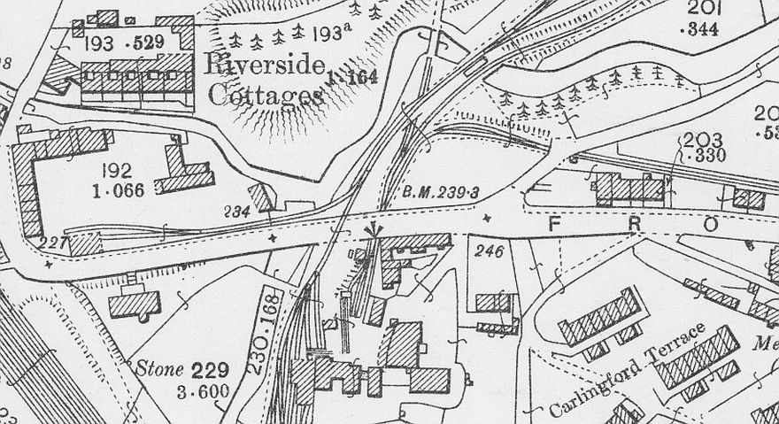
The site of the works where the spur from the Tyning branch
ran to. It is a small light industrial site today. Frome Road was
just a narrow street and run to the right of the GWR track bed from the
station.The whole width and the present round-a-bout
was all GWR track bed running out of the GWR station several tracks wide
southwards to Frome. There was a public subway
below the railway on the north side from what is the "Street" and came
up where the stone wall is seen on the far left behind
the van.
The spot where the spur branched off to the left along to plant that was
seen in the photo above. The Tyning colliery branch
started climbing the incline bridge that went over the S&DR and a line
ran on it's right into the S&DR sidings. Also from
here the Mount pleasant branch made a sharp turn to the right and went up
the incline to the coal depot.
The tyning incline bridge and the spur into the S&D sidings both went
over the Wellow Brook. The bridge is still there but is blocked off and
out of use as seen here.
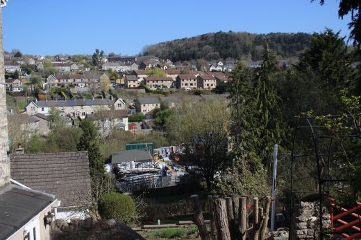
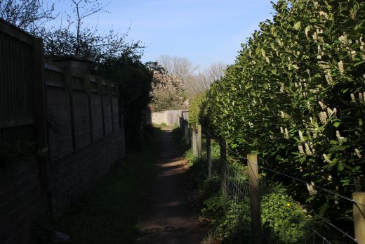
Views from Frome Road as the track bed followed below with the Tyning area
in the background.
Left: Interesting stone work in this garden. The track bed ran just
behind.
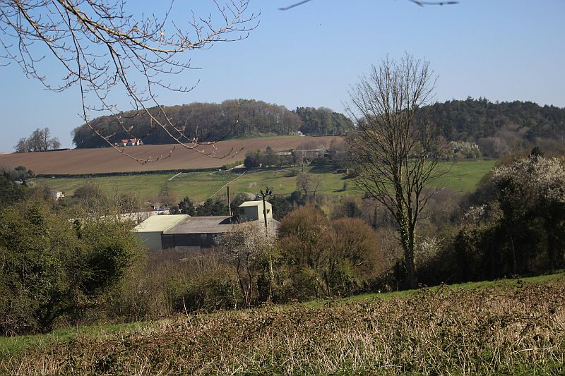
Right: Another view over the Tyning area.
You can just about make out the track bed from here running up to Mount
Pleasant..
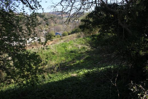
Same here.
One of the few spots where you can actually see the track bed from
Frome Road. Most of the line has been obliterated
by new housing.
A opening off Frome Road, cutting across the track bed and into a private
house.
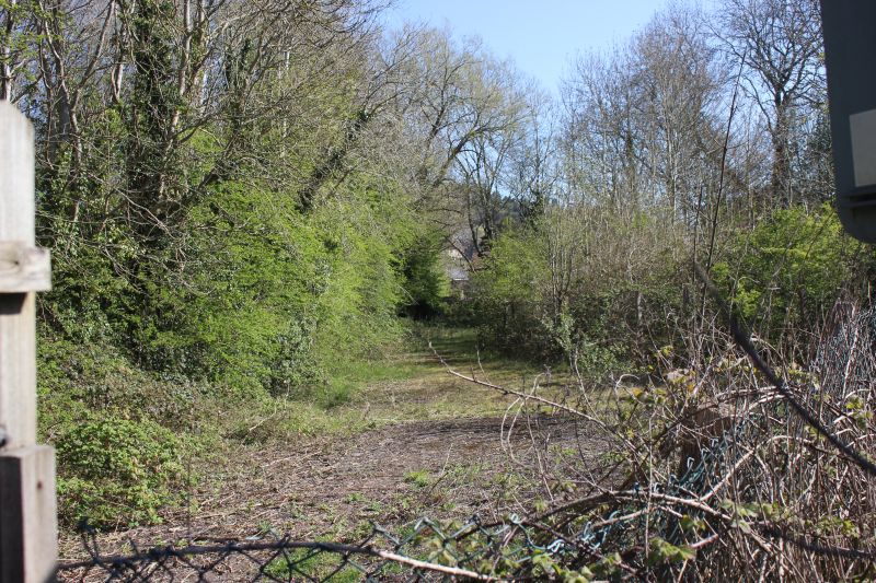
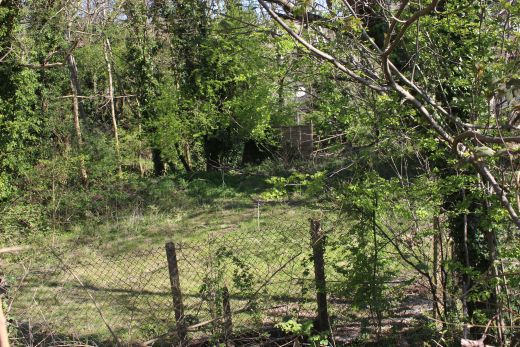
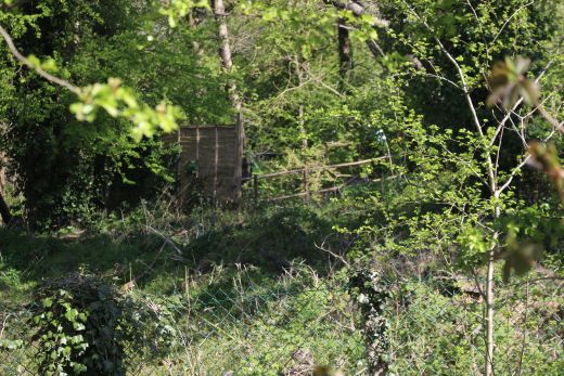
The incline climbed through this private land just south of the coal
depot.
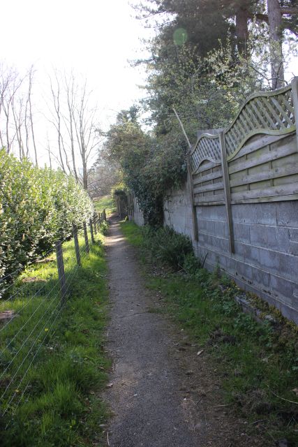
Left:Just up ahead from the above photos there was a footpath off Frome
Road that crossed the track on the level and ran up the north side of the
railway. Right: Looking back down the footpath where it crossed the track
bed.
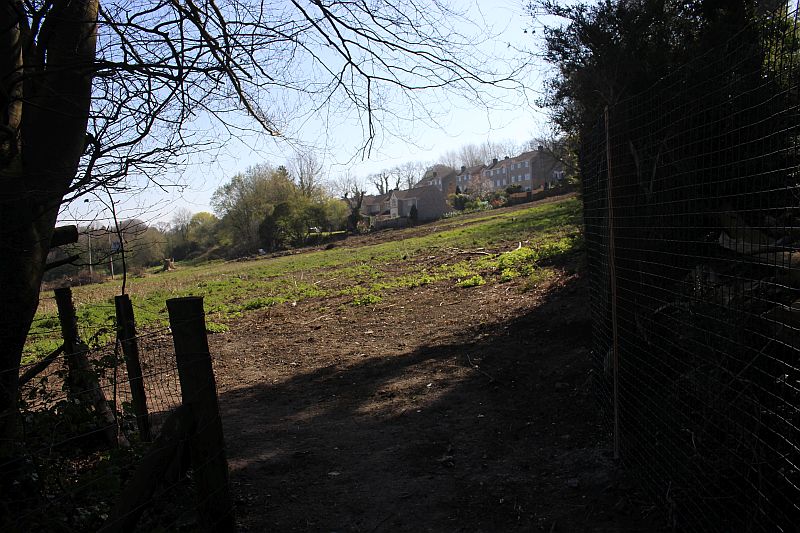
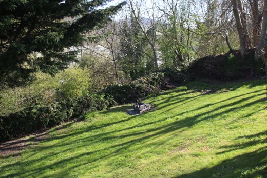
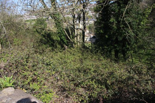
From the footpath. The incline that was in the trees on the right
continued up this gradient at the back of the houses on
Frome Road.
Ditto
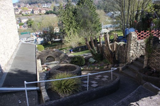
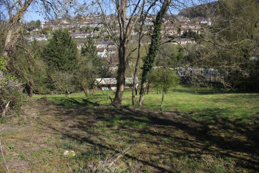
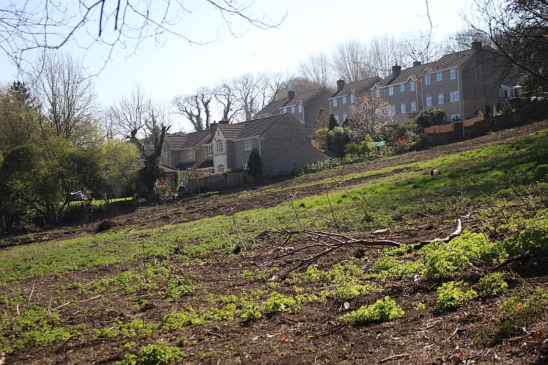
A view from the track bed, looking northwards
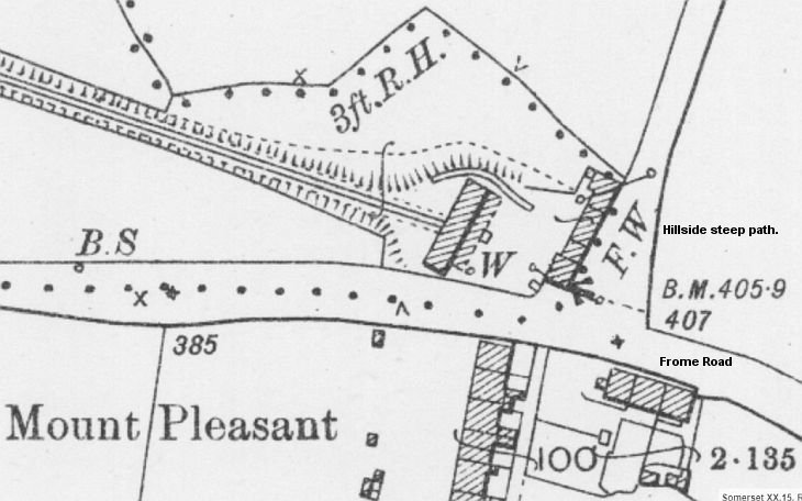
The coal depot details is from the NLS Map set. The site
ran all the way up to Hillside Lane.
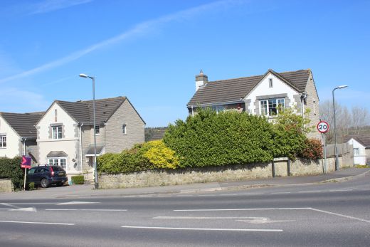
Left: The site of the coal depot today. It filled the whole area between
these two photos and the house seen in the photo on the right. The Maple
Rise road didn't
exist when the site was in operation.Hillside Lane is to the right of the
house and runs down to Upper Writhlington Colliery site then on to Lower
Writhlington
colliery site.
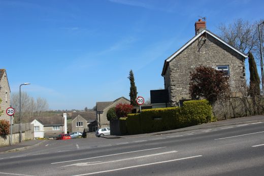
The site of the coal depot and engine house.
This house was within the coal depot and may have been the depot manager's
house. Hillside Lane runs just behind it.
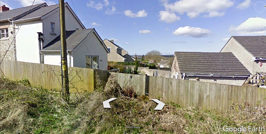
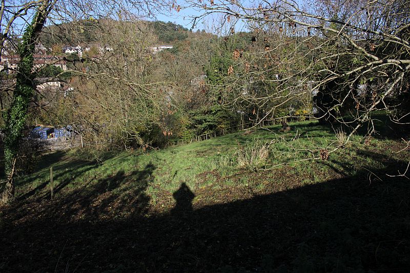
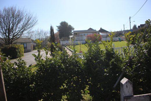
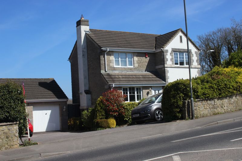
From Hillside lane, overlooking the Mount Pleasant Coal Depot site.
Nothing remains but there are tell-tail signs in the houses
where original building remain but have had numerous modern
extensions. The house on the left and the shed-like building on the
right. You can see that it has had two extension but that the window
and the stone work are from the original building. Likewise
the left side stone work is original. These are the remains of the row
of buildings seen on the right in the NLS map below. The
road far right is the present Hillside lane. The present road
Maple Rise did not exist then. The house seen behind is
where the
actual coal depot stood and where the branch line from Ludlow
Colliery terminated.
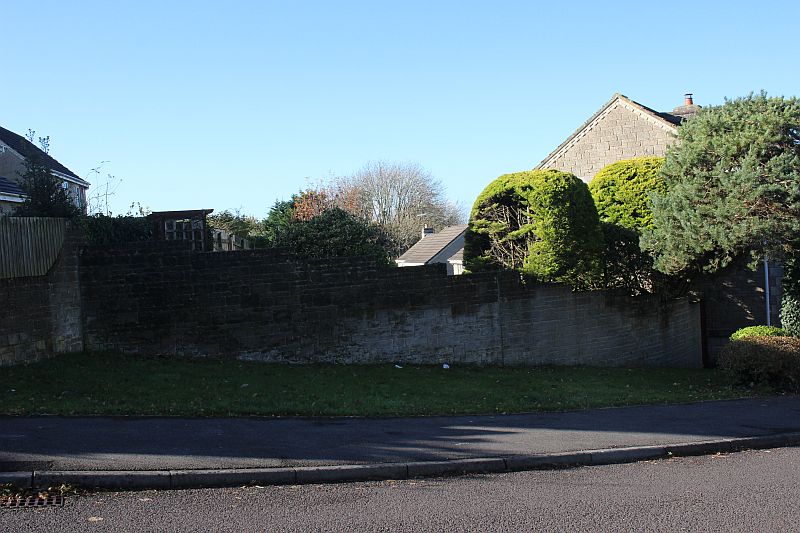
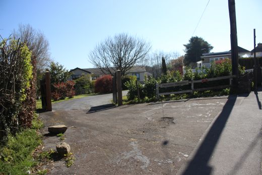
From the center of Maple Rise that
splits the site in two. looking westwards.
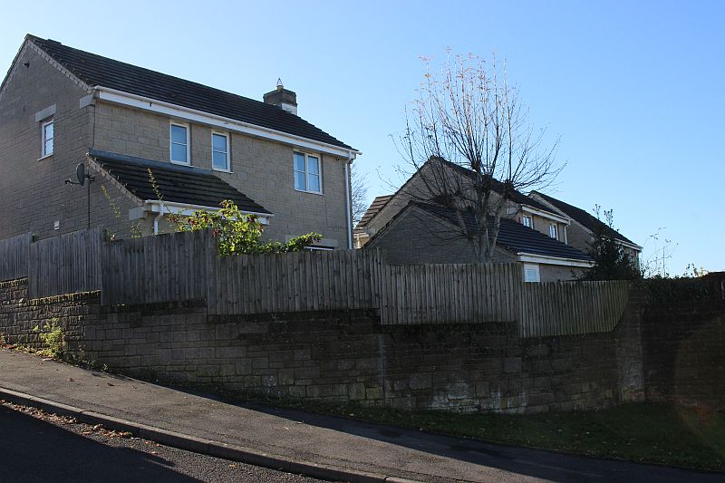
On Maple Rise. This would have been within the coal depot site.
=========================================================
To: Kilmersdon Colliery & Incline. (Radstock)
The
Dundee & Newtyle Rlwy Walks Opened
in 1831 the route had three incline planes. The first was from
the terminal station on Ward Street, up the Dundee Law, where there was
also a tunnel. The second was the Balbeuchley incline at
Rosemill and the third at Hatton that ran down to Newtyle station.
It was also the very first passenger
train service in Scotland.
Worked by Horse over the levels until the first steam engine was
purchased in 1833. Came under the Caladonian Railway with it's terminal moved to Dundee West
station. Passengers
service ended in 1952 and the line totally closed in the mid 60's.
The inclines were by-passed in the 1860's.
The Cromford & High Peak Incline railway in Derbyshire has been luckier in having much of it's buildings, including an Engine House preserved. This is what could have happened with
the D&N, indeed, should have happened with at least one of the D&N inclines. However, the C&H gives an excellent comparison of what the D&N would have looked like, albeit the
inclines were only single track.Boddam To Ellon Branch (Walks) By Bill Reid. Ex GNSR branch line.
Dyce To Fraserburgh and Peterhead Walks. Ex GNSR
Bath To Wellow Rlwy Walks Ex Somerset & Dorset Rlwy.
Hosted by www.theatreorgans.com
This page brought to you by: