Back To Radstock Railways Index
WELLSWAY
COLLIERY & INCLINE
(From visist on the
16th of June 2020 and 23rd Aug 2021)
Wellsway colliery was linked to the GWR Bristol &
North Somerset Railway just to the west of Radstock South station.
Today the site is where the children's play ground about is in
the play park. The Wellsway branch followed on the south side of the
GWR branch out of Radstock, making four separate railway lines up to
where it arrived at the bottom of the
incline at the exchange sidings where the wagons were attached to the wire
rope that drew them up the incline into the colliery.
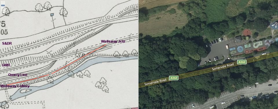
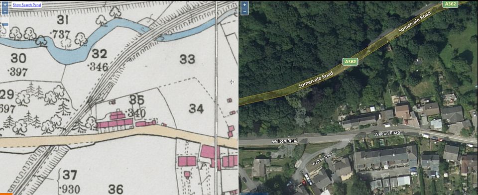
An over
view of the area showing the Wellsway colliery branch junction as it
came off the GWR branch. In the right hand map it is where you see
the blue
circle that is the children's round about in the play park. This is
also approximately the same spot where they made the connection
between the Ex S&D and
the GWR lines after the S&D closed and allowed coal traffic too
run to and from Lower Writhlington Colliery until that
closed in 1973. The branch
disappeared below the new Somerville Road by-pass.
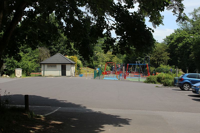
The Wellsway branch came off the GWR line just west of Radstock South
station within the children's playground and ran towards
and to the right of the parked cars, following the GWR track bed
towards Wellsway incline bottom. I am actually standing below
what was the under bridge for the "quarry" line. You can see the remains
of the embankment of the link below, between the toilet
toilet block and the play area fencing with the facing points just ahead
of the camera view.
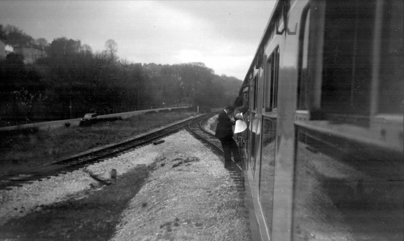
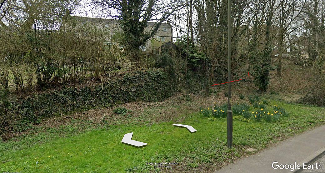
I couldn't find a photo of the junction site. However this photo shows the
link that was made between the Ex S&DR and the GWR
routes after the S&D closed to Bath and allowed trains from Lower
Whrithlington colliery to run too and from Bristol or south to
London via Frome. You can see the tunnel mouth of the S&D "quarry "
branch on the far left. The Wellsway junction turned off the
main line up by the furthest telegraph pole on the right and to the
right f the nearest telegraph pole and on to the colliery following
on
what is Somervale Road today. The junction link above lasted until
total close of the route in 1973. (Author Unknown).
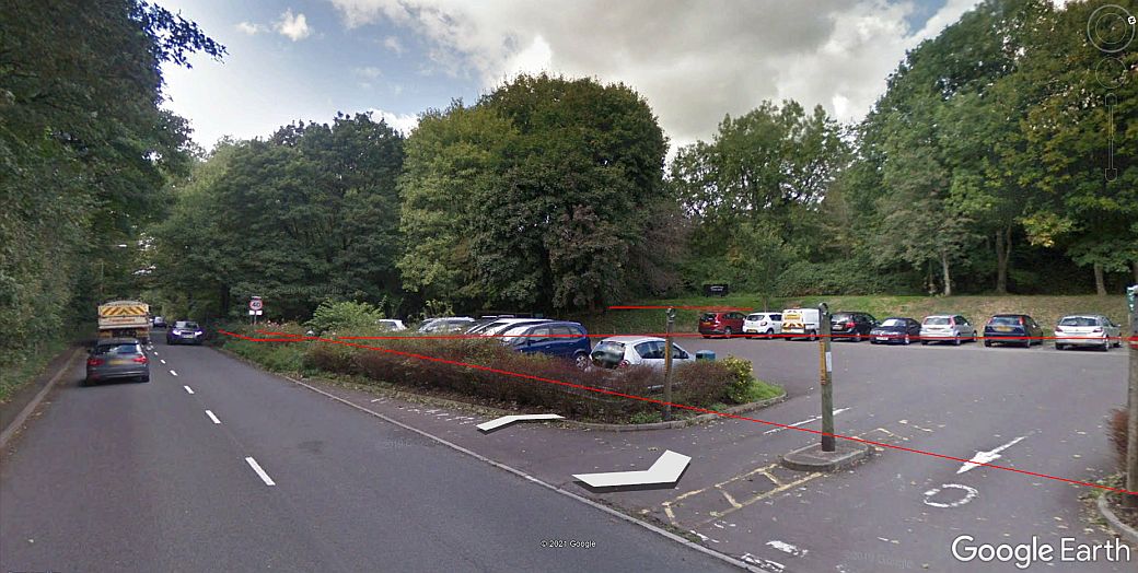
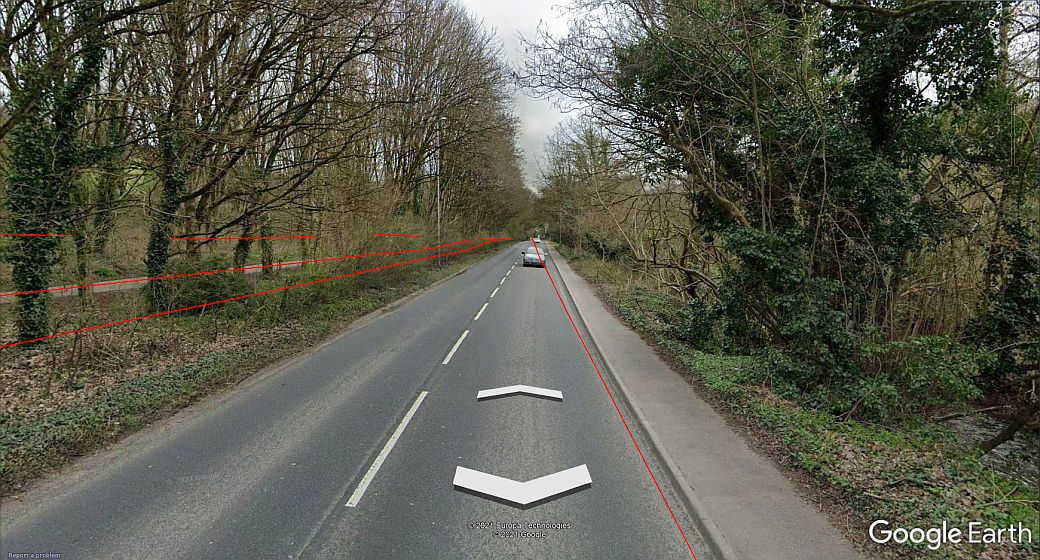
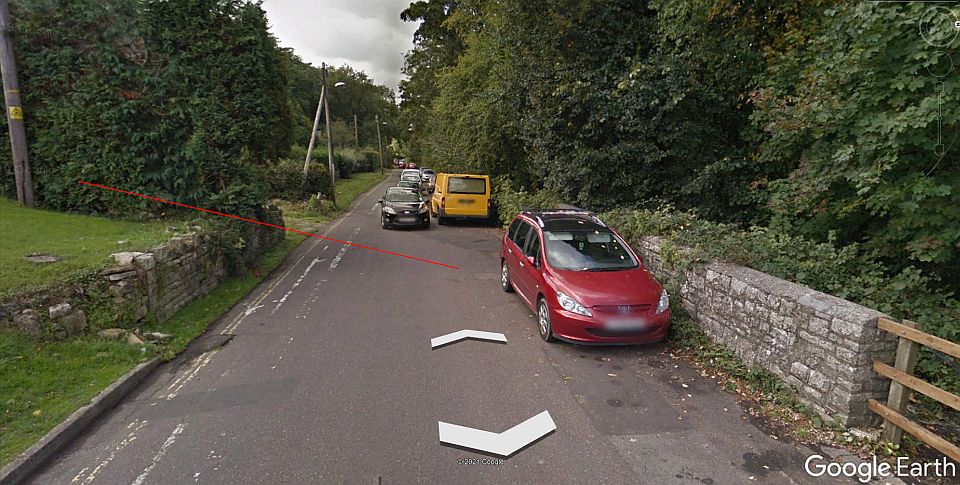
Westward view from the car park site with the four lines running
through.The S&DR track bed is on the tree line above the cars as it
climbs the steady incline to Five-Arch
viaduct. Wellsway Colliery branch isn't shown but was in line with
the on-coming car on Somerville Road. The road was widened after the
railway closed wiping the
track bed away.
=================================================
WELLSWAY INCLINE BOTTOM (Somerville Road)
I have used a mixture of Google Earth and my own
photos to show the route of the track bed running from the playground
area up to Wellsway Incline Bottom. This is due to these photos
having been taken between March and April when over
growth was still very low and giving much clearer views. It
was high Summer the last couple of times I was there and everything
was well over grown and rather dull weather conditions.
Somerville Road didn't exist at the time of the colliery branch and was
built some while after the track had been picked up. The red lines
represent the four routes that ran westwards out of Radstock. The red line
on right indicates the Wellsway branch track bed coming from the
junction with the GWR route. It ran as a single line up to the river
bridge then as double track to the bottom of the incline. On the left
are the
red lines of the "quarry" branch from the S&DR at Radstock station,
the Bristol & North Somerset and the S&DR routes.
Imagine the track bed here being double track and the
bridge over the Wellow Brook just wide enough for that.
Just beyond the bridge the line turned to the left into the incline
sidings where wagons would be attached and
detached from the wire rope.
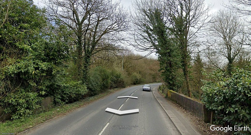
Reverse to above view, of the river bridge.
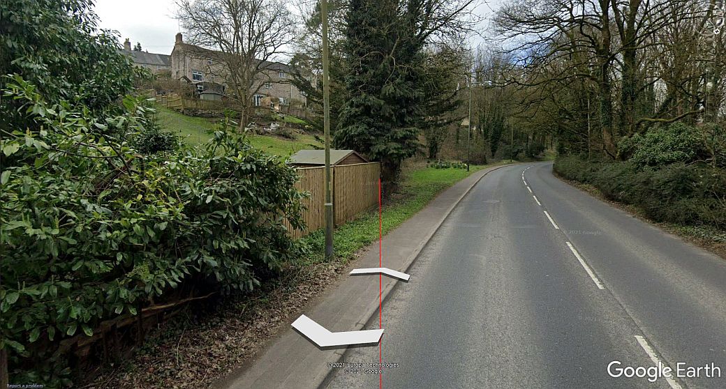
Just beyond the river bridge and approaching the
bottom of the incline. Note the opening on the left just ahead.
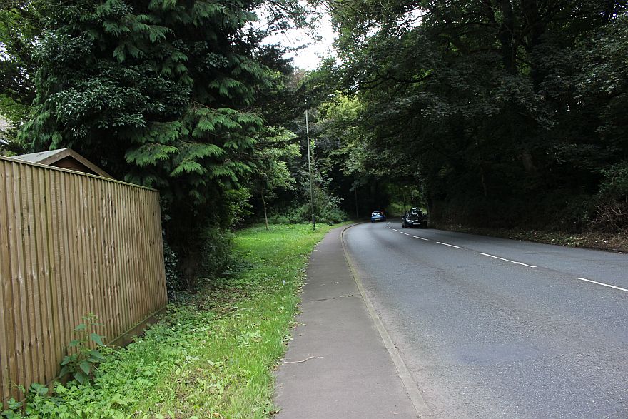
A little closer to the sidings.
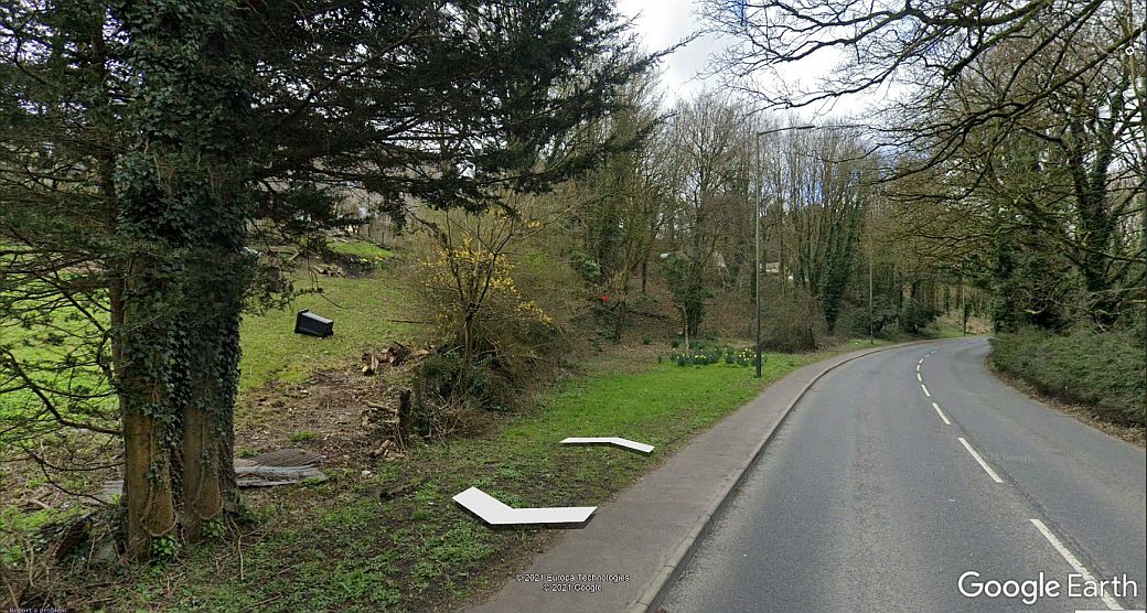
Reverse view from above. The sidings on the right as the branch came off
the river bridge and to the bottom
of the Wellsway Incline.
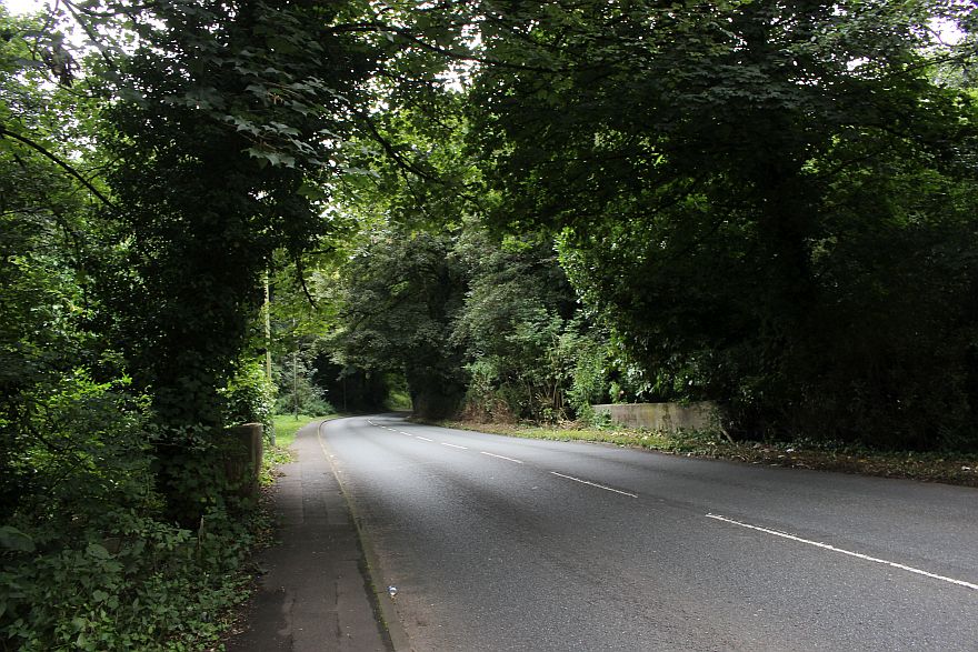
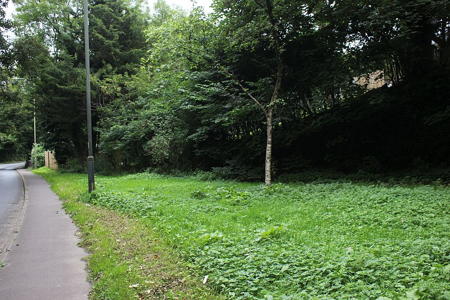
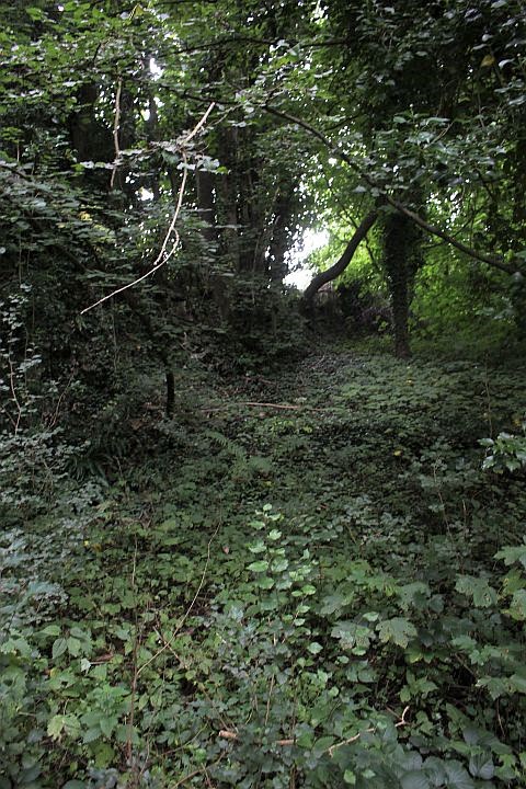
Approaching the base of the incline with then two short shunt spurs to the
left. Here you are virtually looking up the line of the incline to where
it
dropped below Welton Road.
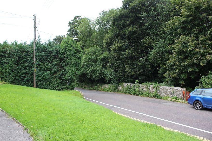
This was the site of the two stub sidings and the
line continuing up the incline which followed this side of
the retaining wall and up to
where it dropped below Welton Road and continuing up to the
colliery. Most people passing this spot probaby are not aware
of the
railway activity that took place here. It would be nice to see a notice
board of some sort giving details.
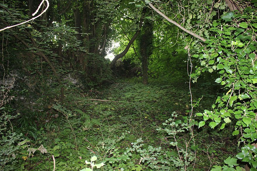
Looking up the incline to where it dropped below Welton Road. I used
flash to brighten up this rather
shaded scene. (23rd Aug. 2021).
---------------------------------------------------------------------
THE CUTTING AND OVER BRIDGE
ON WELTON ROAD
(Updated (23rd Aug. 2021)
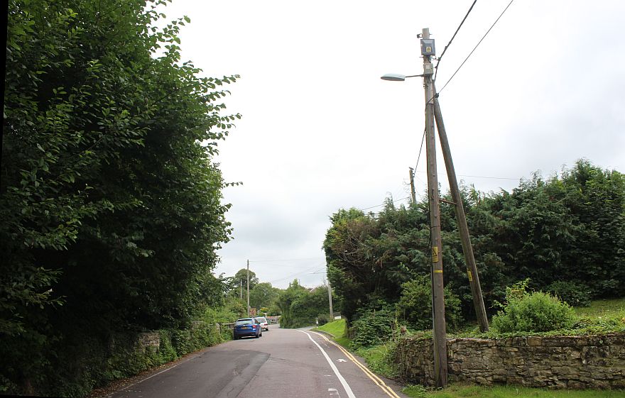
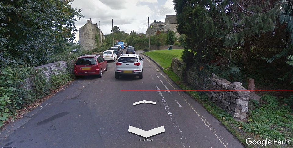
The incline ran below Welton Road. The blue car stands over the track
bed that ran in a cutting below.
The thick tree line on the right grows in the cutting all the way up the
incline to the colliery.
Welton Road. Looking towards Midsomer Norton. The
exchange sidings and the bottom of the incline was on the right,
down within the trees.
As above. Road. (From Google Earth).
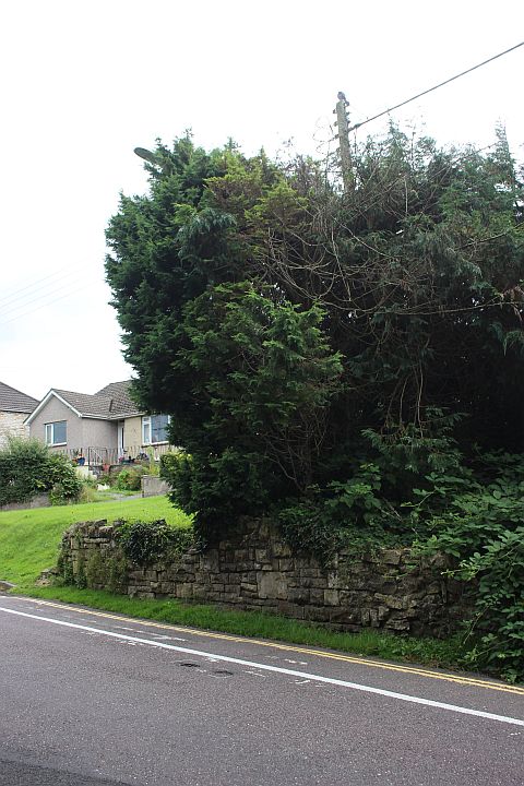
South side of the railway bridge. It looks as if it was an embankment up
the incline but the railway ran below the road and in a cutting up to
the
summit at the coal mine.
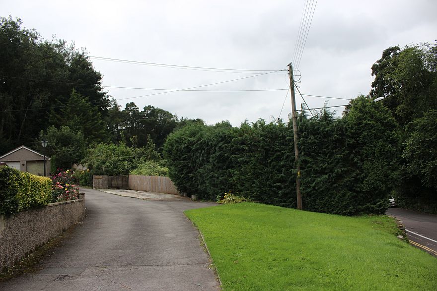
The incline now well over grown. From the east side on Welton Road as it
clmbed to the Wellsway Colliery summit.
Opposite view, towards Radstock via Wellsway Road.
====================================================
WELLSWAY COLLIERY SITE
(Updated Aug. 2021)
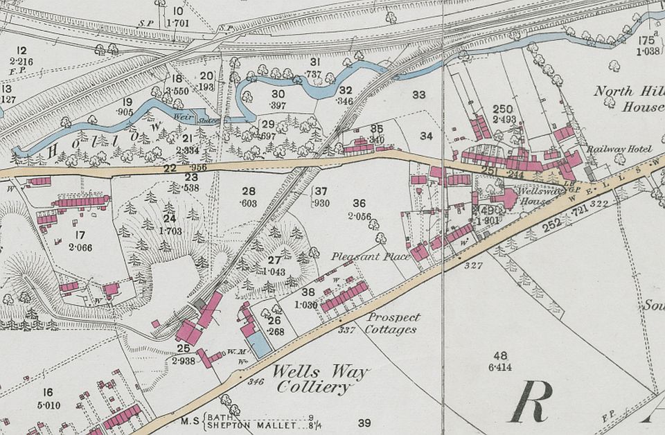
Over view of Wellsway
Colliery and incline (NLS Maps) N.B. Somerville Road does not
exist at this time. Radstock Road ran directly up Welton Road and
Wells Road into the center. Only the branch line crossed the
Wellow Brook.
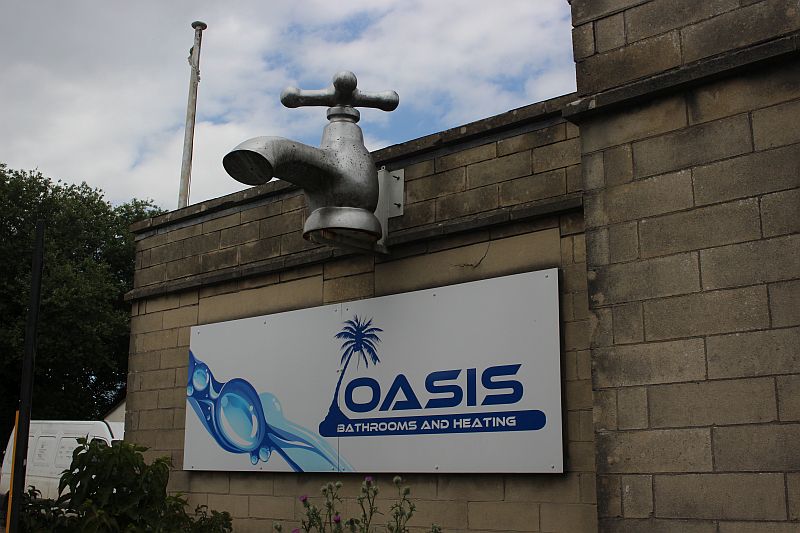
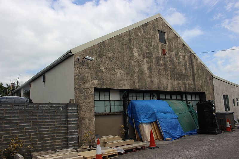
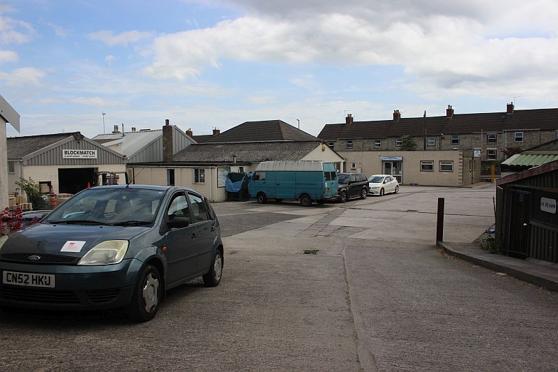
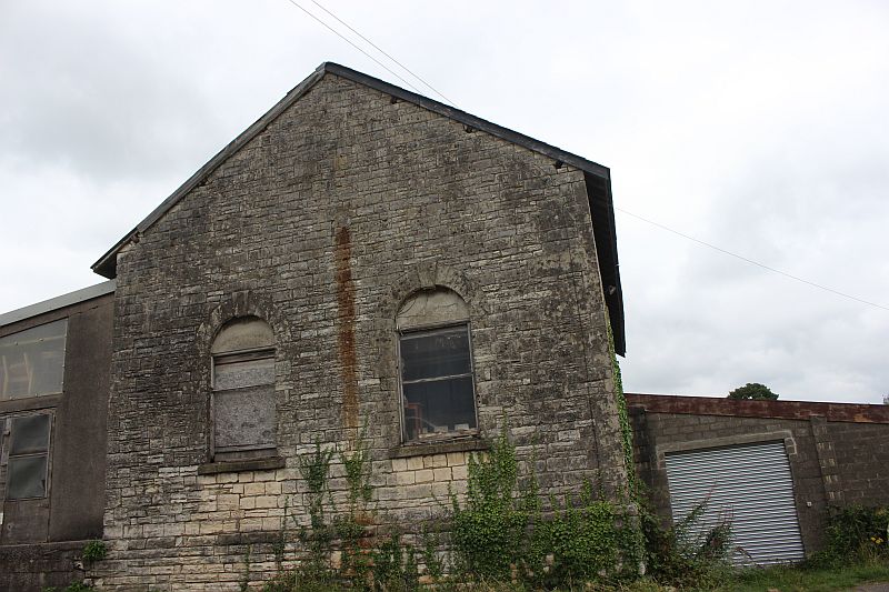
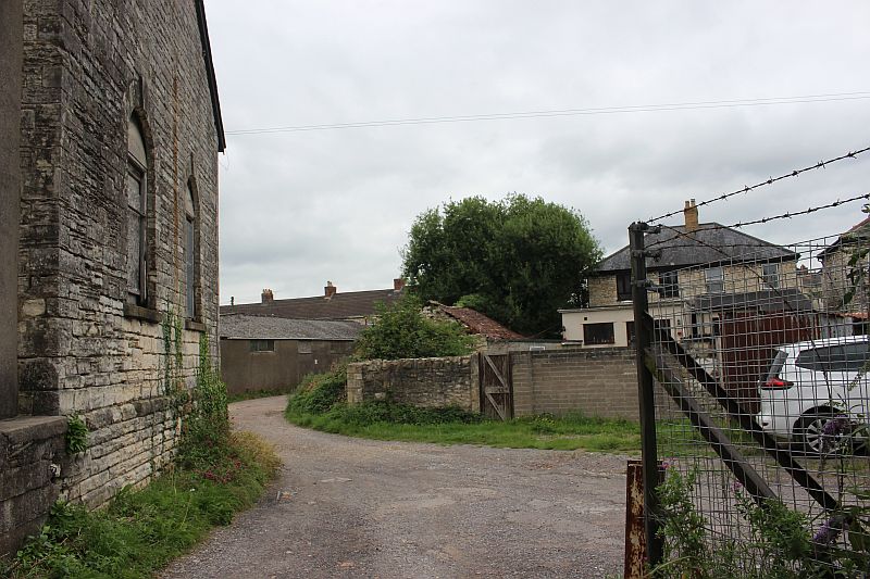
At the entrance on Wells Road which is now an industrial estate.
This is about the only original colliery building still standing.
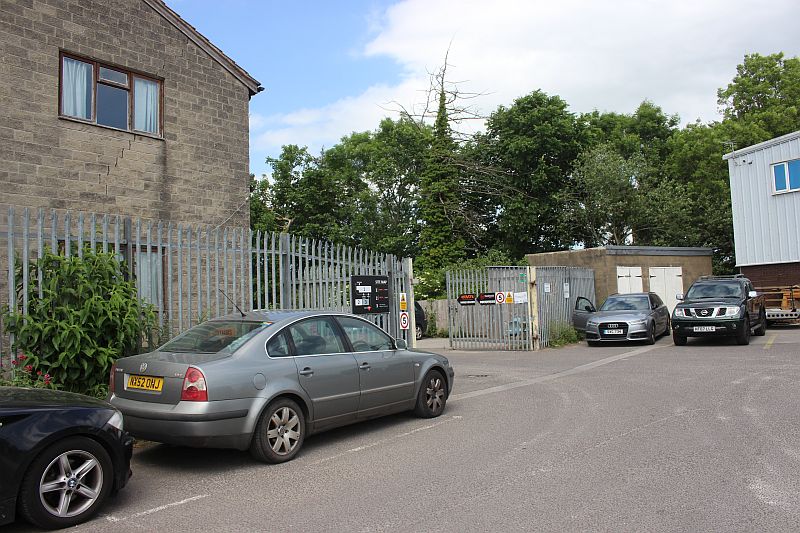
The corner where the track came up the incline and onto the level within
the colliery where wagons were attached and detached from
the wire rope. The engine house would have stood close by and the house on
the left may have been part of this. The building behind
the two cars up ahead looks like Ex colliery building. Note the modern day
railway fencing that suggests this corener may still be
under railway ownership in regards upkeep.
The site, that is just off Wellsway Road.
========================================================
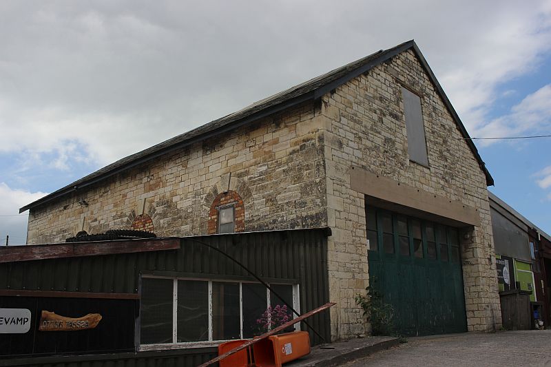
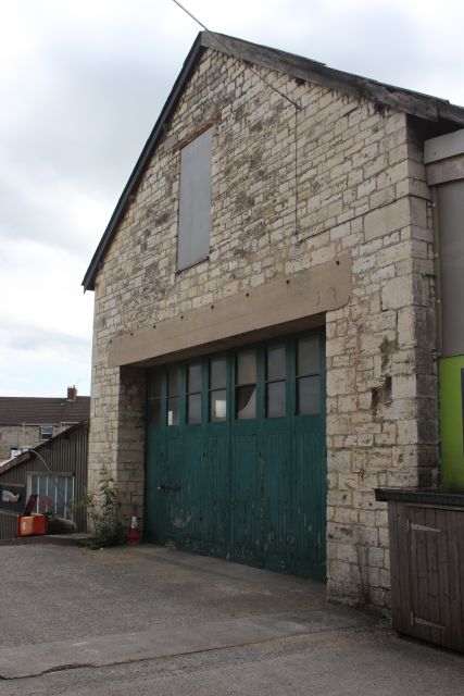
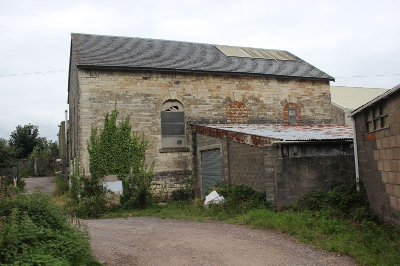
On the 23rd
Aug 2021 I returned to the site and took some photos of the reverse side
of the pump house. The path (off Wells Road)
is to the right of the main site entrance and leads around the west side
of the pump house and to where the mine sidings were.
There is also a couple of out buildings still standing.
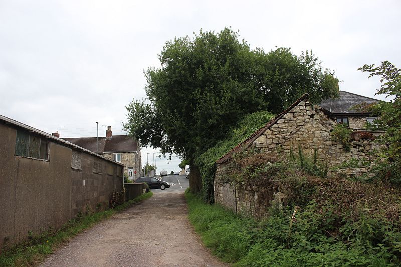
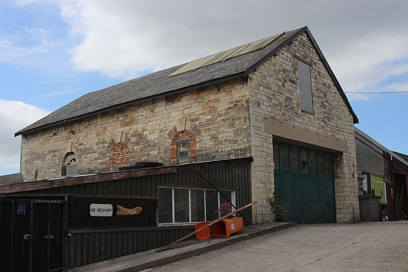
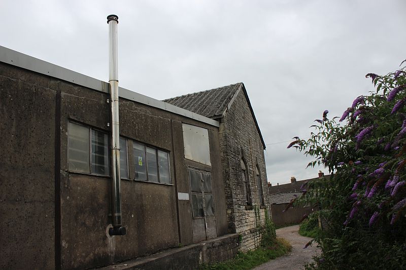
On the footpath into up to the raer of the pump house. Looking back to the
entrance on Wells Road. The buildings on the right
would have been part of the Colliery.
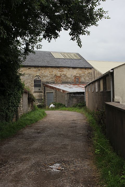
Walking towards the pump house.
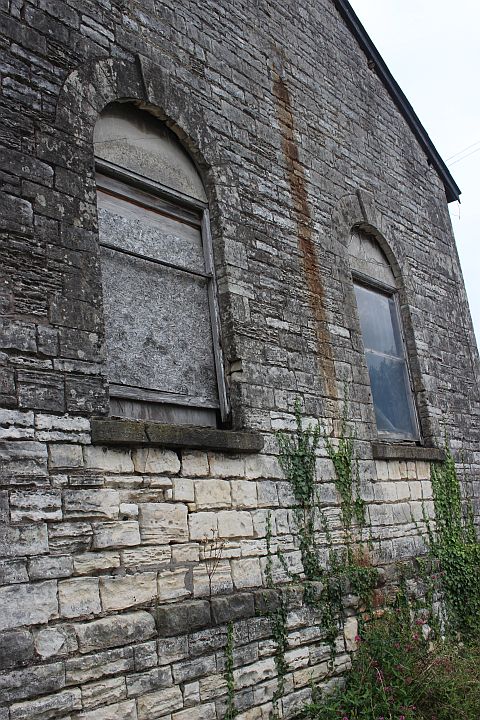
The path around the pump house leads to the site where the mine sidings
were spread out.The sidings site are on private land.
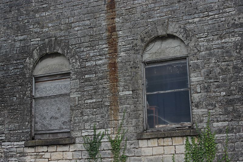
YoOu can see inside the building from the window on the right.
The lane and buildings looking towards Wells Road.
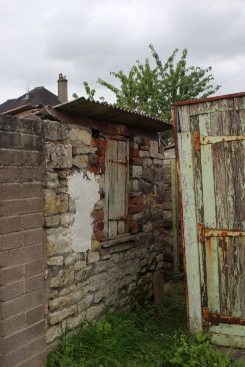
Final photo is of two out buildings that are still in use by a house
holder.These are
just to the right of the white car seen in the photo above.
=====================================================================
Midsomer
NortonTo Radstock (S&DJR) 14
To: Radstock Collieries
2020 Index
Other railway walks:
The Dundee & Newtyle Rlwy Walks
Opened in 1831 the route had
three incline planes. The first was from the terminal
station on Ward Street, up the Dundee Law, where
there was also a tunnel. The second was the Balbeuchley
incline at Rosemill and the third at Hatton that ran down to
Newtyle station. It was also the very first passenger
train
service in Scotland. Worked by Horse over the levels until
the first steam engine was purchased in 1833. Came under the
Caladonian Railway with it's terminal moved to
Dundee West station. Passengers service ended in 1952 and
the line totally closed in the mid 60's. The inclines were
by-passed in the 1860's.
The Cromford & High Peak Incline railway in Derbyshire has been luckier
in having much of it's buildings, including an Engine House
preserved. This is what could have
happened with the D&N, indeed, should have happened with
at least one of the D&N inclines. However, the C&H
gives an excellent comparison of what the D&N would have looked
like, albeit the inclines were only single track.
Boddam To Ellon Branch (Walks)
By Bill Reid. Ex GNSR branch line.
Dyce To Fraserburgh and Peterhead Walks. Ex
GNSR
Bath To Wellow Rlwy Walks Ex
Somerset & Dorset Rlwy.
Chippenham To Caln Walk.
Bath To Wellow Rlwy Walks Ex
Somerset & Dorset Rlwy.
Chippenham To Caln Walk.
The Test Valley Railway
Walk. (New Mills To Hayfield).
Hosted by www.theatreorgans.com
BACK TO HOME PAGE
This page brought to you by:
VintageHammond.Com
- We Buy-Sell-Trade Vintage Hammond Organs and Roll or Kari Organ/Vending Machine Moving Dollies Order Roll or Kari Dollies Here