THE ABERDEEN TO INVERURIE CANAL (Remains)
As at APRIL 2029 with older photos to add to interest.
Bill Reid
PAGE 2 OF EIGHT
"KITTYBREWSTER TO THE FOUNTAIN (Woodside)"
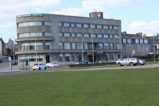
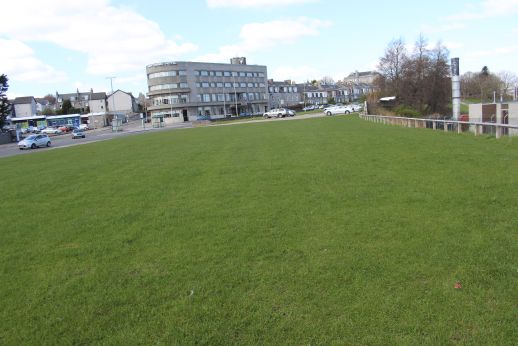
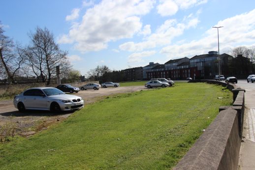
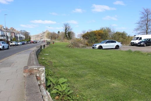
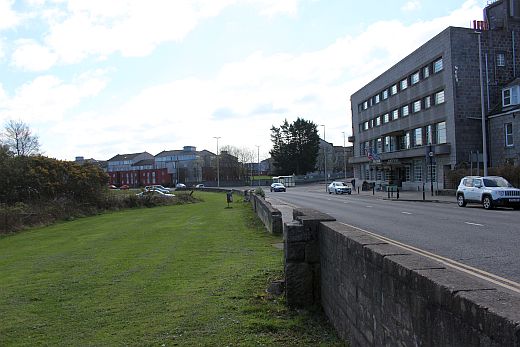
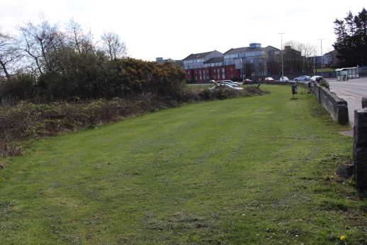
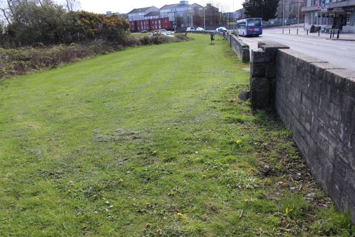
This new empty space was created when all the old buildings on the east side of Great Northern Road were demolished about two years ago. The chimny on the right is where
the Loco depot stood and were the canal passed and followed the curiture of the road up to the wharf at St. Machar Drive. To the left of the Northern Hotel is the space
where the Astoria Cinema stood until the 70's. Right: The Northern Hotel. A 1930's building that replaced the much older an smaller Northern Hotel. It stands on the junction
with Clifton Road and Great Northern Road.
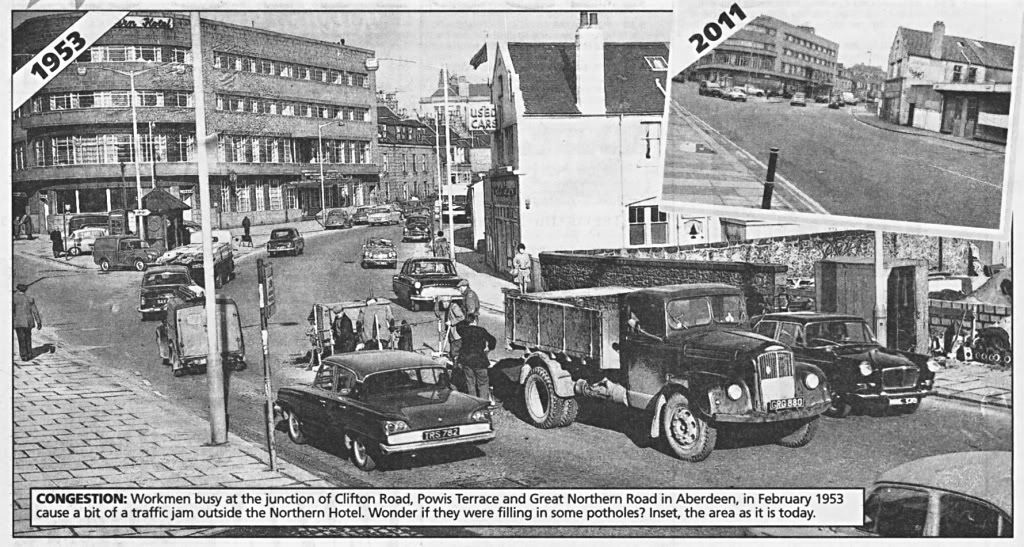
An Evening Express Now & Then comparison showing the buildings on the left that were demolished, creating the large grassy space seen above.

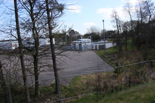
Left: The fence marks the path that lead down from Great Northern Road into the Loco Dept. This was used by most Depot staff rather than the Official road by
the station entrance.
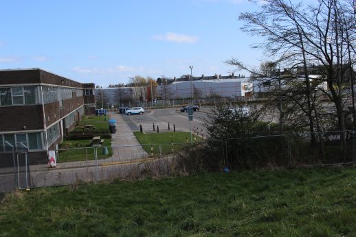
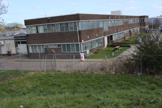



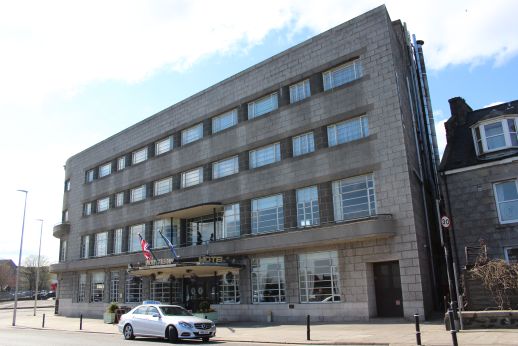
The Northern Hotel on Great Northern Road.

Entrance into Prisoner's Holding Centre. The canal path way is blocked off at this point.

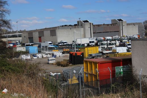
This object may have been part of the canal, although it slightly higher than the actual canal itself! The buildings in the background
are built on the Loco depot site.
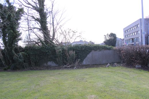

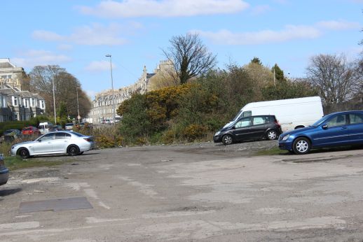
Left: Just north of the Hotel the canal way is blocked by a stone wall. Right: The canal rose up the line of tenements with a couple of Locks.

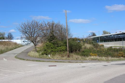
Left Kittybrewster School. It was at this gap to the south of the tenements on the right that you could stand and watch coal wagons being lifted up the coal tower and emptied
inside the 50 foot deep hoppers. Right: The coaling tower had stood just to the left of the new building on the right. This building is a holding point for prisoners awaiting their
transfer to a prison.
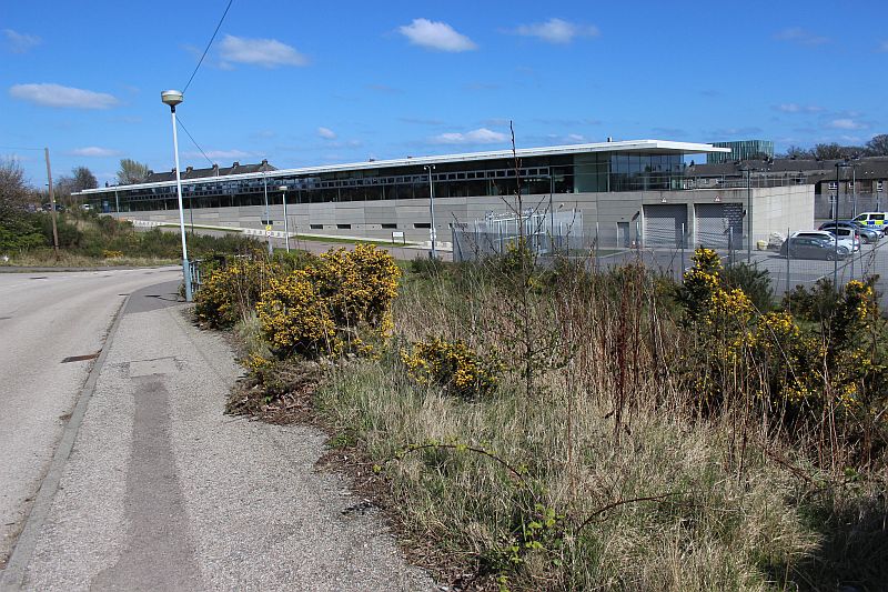
The new prisoner holding building. Takes up a lot of the old sidings. The coal tower stood approx. half way along the building.
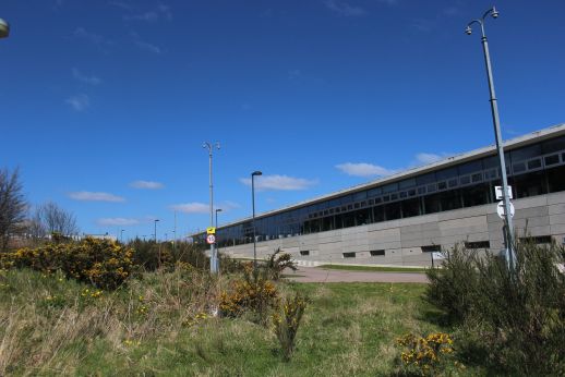
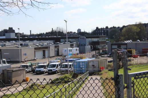
Left: The coaling tower stood here. Right: Looking south into what would have been the center of the Round House.

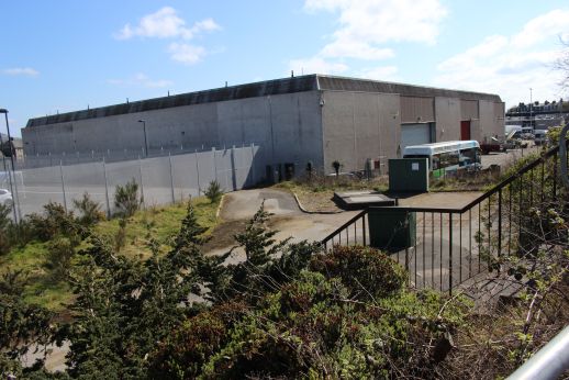
The canal had ran along this path, more to the right. The building serves the Hydrogen buses.

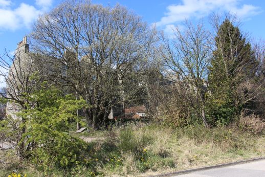
The canal ran straight ahead where these tenements stand, up to the wharf at the summit of the canal.

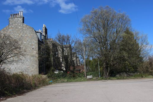
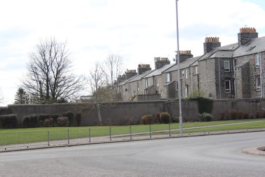
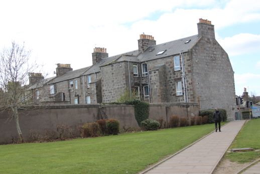
At the top of St Machar Drive. The tenement houses are built upon the canal bed all the way down to Kittybrewster. The man is just about to walk through the wharf
building Site. (See below). St Machar Drive didn't exist at the time of the canal. It was a lane that ran down to the Bedford Road area called Fullerton Road.
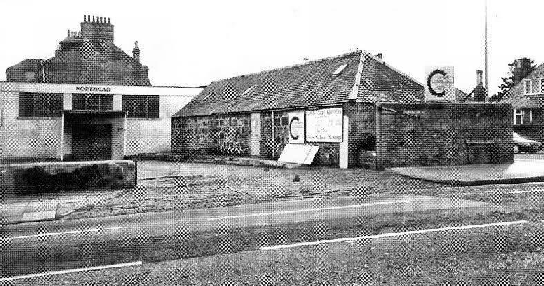
The only remaining canal Wharf building at the time. Fom the photo above you can see that it stood just to the right from the end of
the tenement block. I used to pass this every day when at Powis School, on St. Machar Drive. The bus stop is just around the end
of the tenement building on Great Northern Road. I wish I had known more about the canal when growing up. I knew of it but had
no idea of where it actually ran or this a part of it. (Author Unknown. Photo from the Evening Express).
FULLERTON ROAD
Fullerton Road was the oriinal name beofre it was named St. Machar Drive. The Boat House was known as Fullerton Boat House
There is still a Fullerton Court Care Housing building today. The canal had ran below Fullerton Road somewhere about the area
seen in the old photo above. and can went below a bridge heading northward. I don't know when the road was renamed but the
BLS map for 1888-18xx shows it as Fullerton Road in 18xx. It is possible that it was changed when railway took over the canal
which as opened in 184x or between the later 1920's and early 1930's when the houses on Great Northern Road were devoloped.
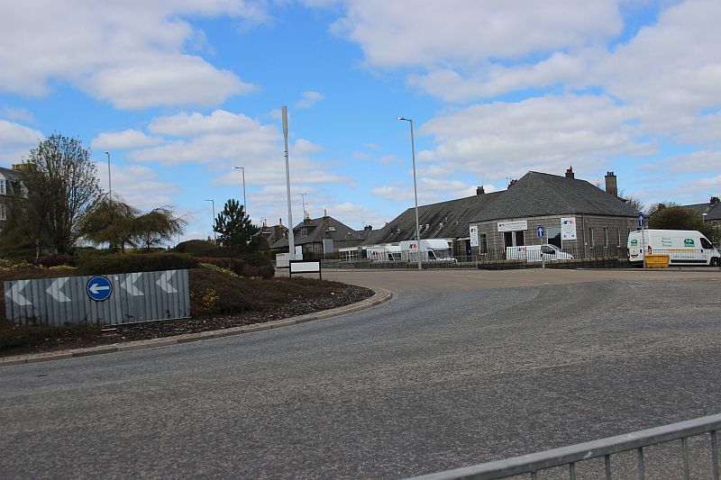
More or less where the wharf building stood. The canal went straight ahead then curved to the left following the line of buildings
and run up to where the shops are by the junction with Barron Street. The building directly ahead was a telephone exchange.
It is a furniture dealer today. The canal ran below a bridge and followed the line of buildings along Great Northern Road.
I forgot to take any photos between St. Machar Drive and Barron Street. However, thanks to Mr. Ian Hay who has allowed me to
use two photos that his mother had taken between the 20's & 30's from the tenement building where she lived, we have an excellent
image of how it looked when the canal, although long closed was still visible.
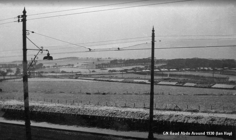
Possibly the only photos of the canal tow-path existing. This area today is massively developed, consisting of many tenement buildings
and the associated roads The railway runs from left to right through the center of the photo. Here a Subbie train would be braking for
either Don Street station, off to the left or Kittybrewster station, off to the right. The trees in the far back ground are at Whitestripes
and are just the same today. However, the developement of the Brig O' Don covers most of the countryside around. The bungalows
below take up the roadside and the Canal tow-path, while Sandilands Drive and Ferrier Crescent fill the space up to the railway.
Alexander Terrace, Formartin Road, Harris Drive Rattery Place and Pennan Road, fill the space between the railway up to Tillydrone
Road and the River Don. Another estimate is that the row of houses running off to the right could be Harris Drive, today.

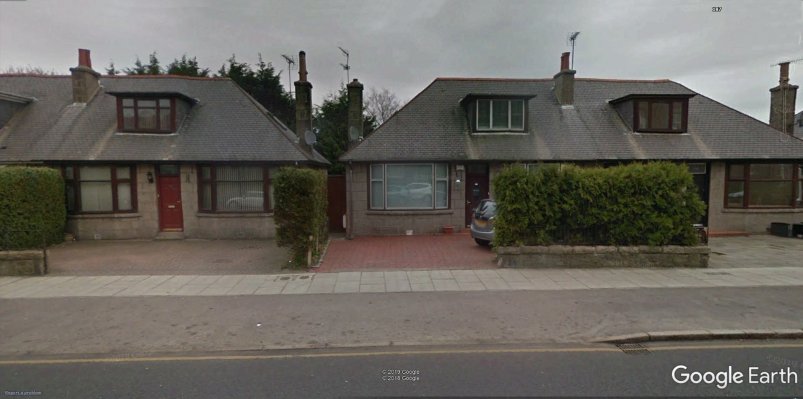
The view from street level today. The bungalows have been built upon the canal site.The old photos were taken from the upper level
of the tenement immediately behind the camera.
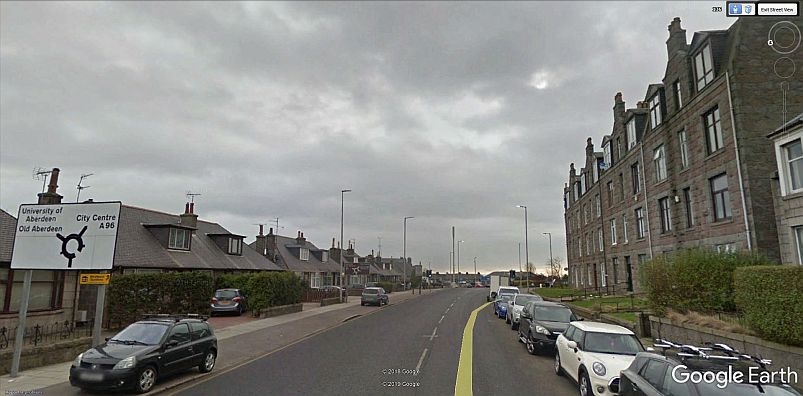
A Google Street View photo. Looking eastwards along G. N. Road towards St. Machar Drive. The four storie tenement where the
photos were taken is on the right. Not sure if it was from the third or fourth level. Similar views are certainly still possible today.
Taken a little more to the right from the first photo. Estimating the angle to St. Machar Catheral that the area viewed covers St. Machar
Road, Tedder Road, Portal Crescent, Wingate Place & Road, Tillydrone Avenue, Tillydrone House, The Chanery and Cathedral.
My thanks once again to Ian Hay for bringing these photos to light. They are very historical and very clear for their age.
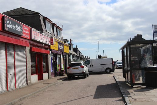
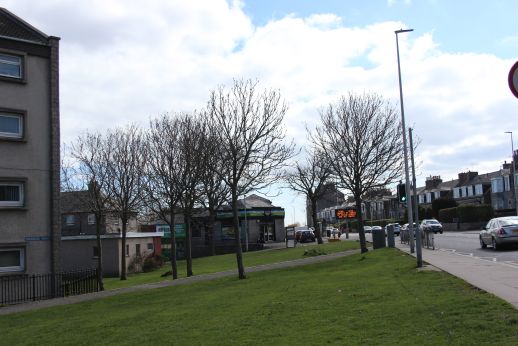
Left: The shops at Barron Street where the canal stood. Looking south towards to St. Machar Drive. Right: From Marquis Road, towards the shops.The four storie
tenement building where the photos wer taken from is seen in the distance.
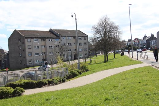
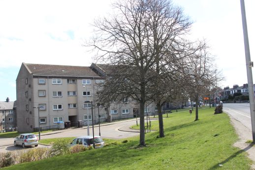
The area of Tanfield. Following the line of Marquis Road were it joins Great Northern Road and Barron Street. Tanfield is where the great Scottish footballer, Dennis Law
was born. Note how the ground drops from the main road. You can picture where the canal actually ran.
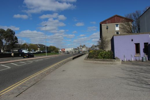
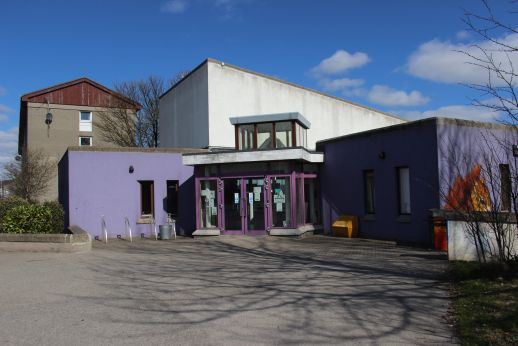
The Canal continued on the east side of Great Northern Road. These two photos are taken where the Woodside Tram Depot stood. Today it is a Medical centre.
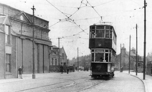
Woodside Tram Depot (1950's) Could almost be myself. I stood there many times
watching the trams come and go. Photo above left very close to the same spot.
(Author Unknown).
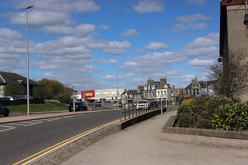
This could be a busy spot at peak hours when extra trams were put into service. The 'Fountain was the original terminus for the trams
until the route was extended to Scatterburn when a large new housing estate was buit in the latter 30's and where the suburban tram
services extended to Bankhead Road in Bucksburn. Fountain only trams would turn back into town instead of running out to
Scatterburn which, added to the number of tram movements. The turn back was opposite the red building seen up ahead.
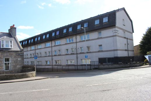

From the top of Don Street and Western Road. The canal ran behind the new houses on Great Northern Road and Marquis Road. Looking southwards.
Left: The house on the left belonged to the late Bill Steele who was a driver at Kittybrewster Depot. I remember Bill as a great lad.
The last time I met him he was working in his front garden and remember this every time I pass this way.
TO: PAGE 3 CANAL REMAINS AT THE 'FOUNTAIN' Woodside.
Back To Index Page
=====================================================
Please respect the copyright of all photographs and videos in these web sites. Thank you.
All My Web Sites (Web pages and videos).
Contact me at reidcrcwdr@aol.com if you have anything to add to these pages.


