Back To S&DR Index
SOMERSET & DORSET RAILWAY WALK
RADSTOCK TO
SHOSCOMBE
(From
two visits on the 4th and 13th of Aug. 2019)
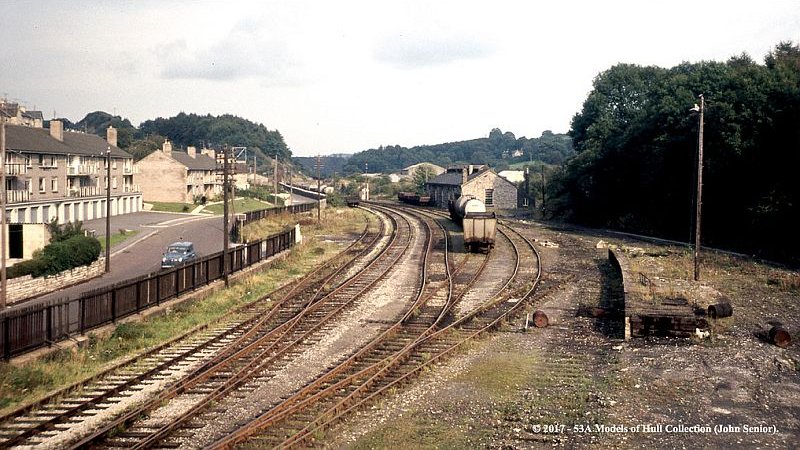
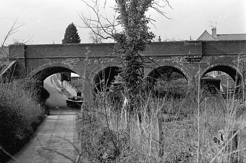
Interesting photo by John Senior. A clear view from station
footbridge, alongside Waterloo Road. You can see the loading
bay on the right and the old loco depot up ahead. Just ahead of the
works you can just make out the signal box. This is
approx. where you get
onto the track bed today from Waterloo Road. The whole length of the
track bed following the
railway fencing is under
modern housing. (Photo, Models Of Hull Collection).
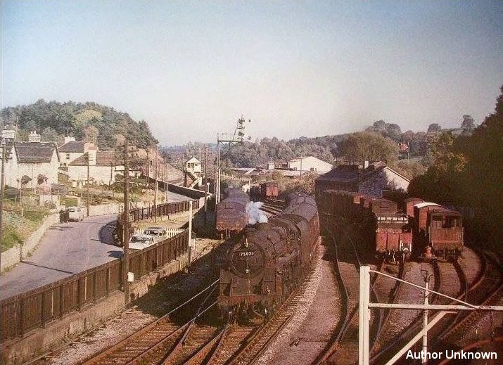
From the same spot on the Footbridge but with a telephoto setting a
passenger train enters the station.
Behind the signal box to the left you can just make out the retaining
wall where the NSR colliery branch
went over the top of the S&D. (Author Unknown).
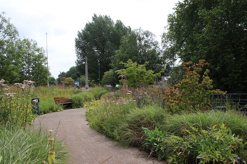
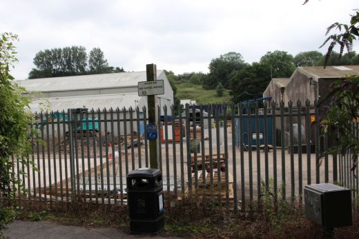
View from station
platforms site today.
The
railway ran along sideside Waterloo Road from the station/ As
the station area is now a pleasant garden with a War Memorial that
takes up all of the
station site to the north end of the town. You have a short walk
along Waterloo Road to reach the official entrance back onto the track
bed and onwards
towards Shoscombe and Single Hill. Approximately a 30 minute walk
to Shoscombe. There is another 15-20 minute walk along the narrow
country road to
Single Hill and the station site.
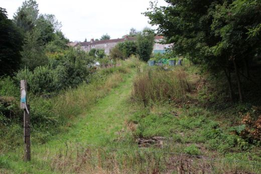
The track bed line of sight north end of the station just beyond the
war memorial.

Track bed line of sight This
is the wide space that contained the sidings and lines leading up to
the loco depot.

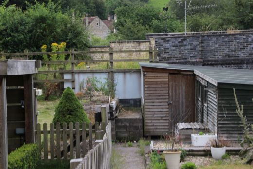
The way becomes blocked by a housing estate built upon the track bed.
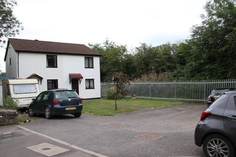
Along Waterloo Road. The house stands on the track bed heading north.


The modern house stands virtually on the spot of Radstock South
signal box.
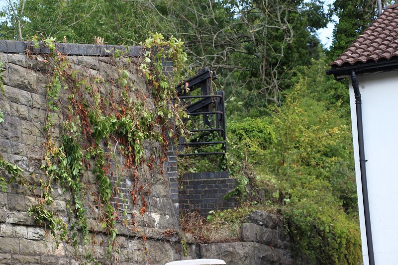
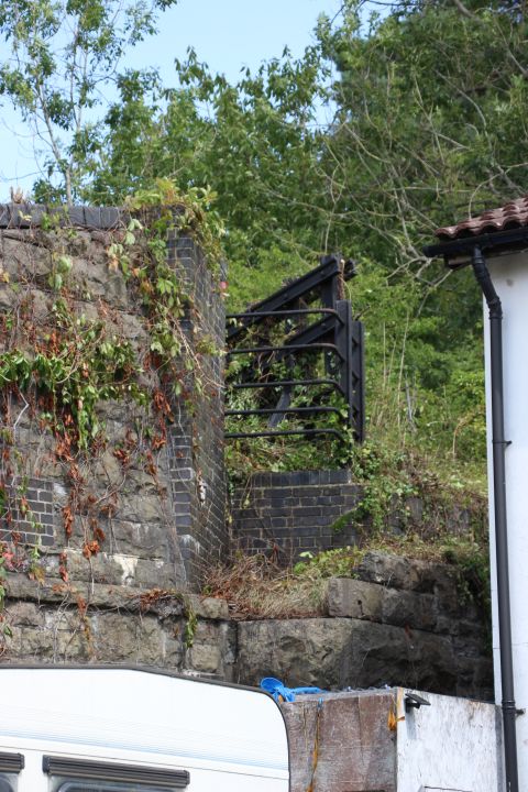
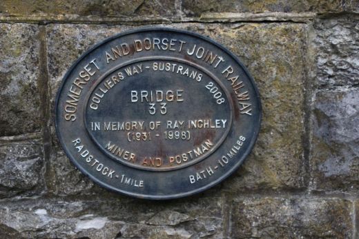
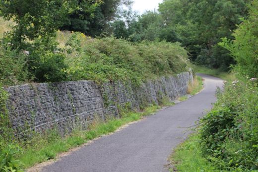
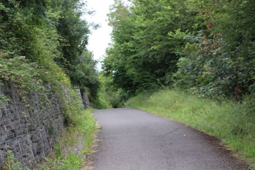
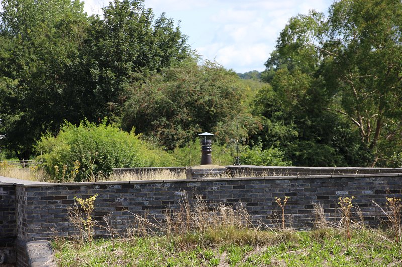
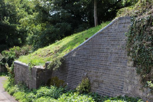
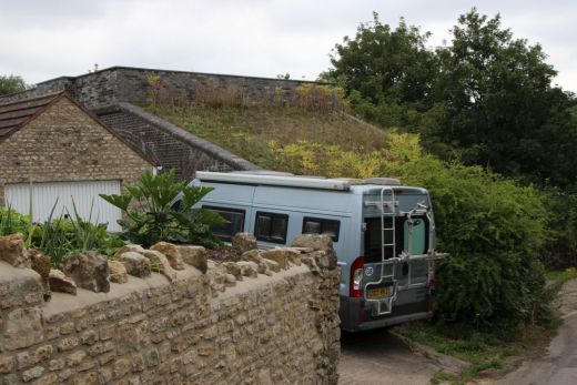
The retaining wall and remains of the bridge
that crossed over the S&D and onto the Colliery.
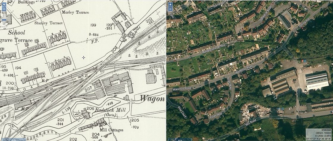
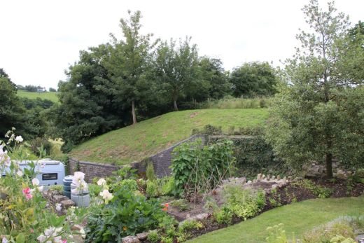
NLS side by side map showing the aea where the colliery branch crossed the
S&D.Some of the Wagon Works building may still be in place. (NLS
Maps).
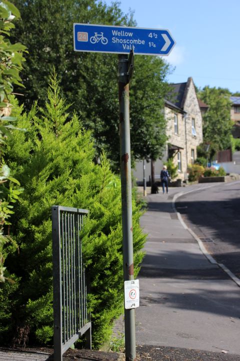
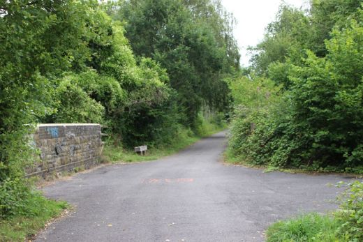
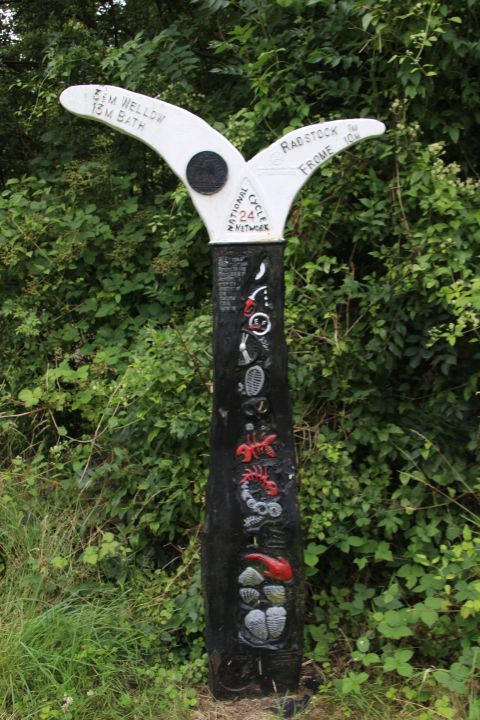
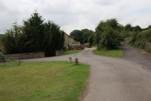
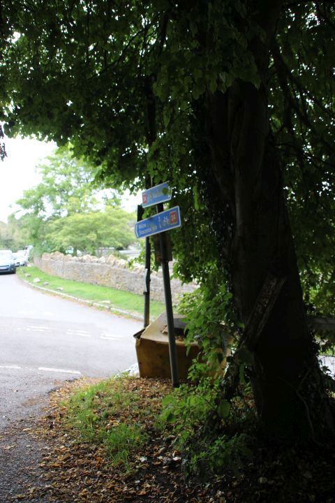
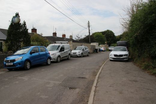
The sign for turning onto the old track bed on Waterloo Road and the
bottom of
Tyning Hill road..You can walk the track bed from Shoscombe to Wellow but
have to take the main road from Single Hill..
Left: The entrance off Waterloo Road to get back onto the track bed.
On the right. The heavy retaining wall carried the colliery branch.
Right: The colliery branch ran over the top following the heavy retaining
wall.
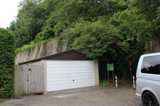
Left: The lane leading down to the track
bed.
Right: The brick buildings on the right may be what is left of
the the wagon works .
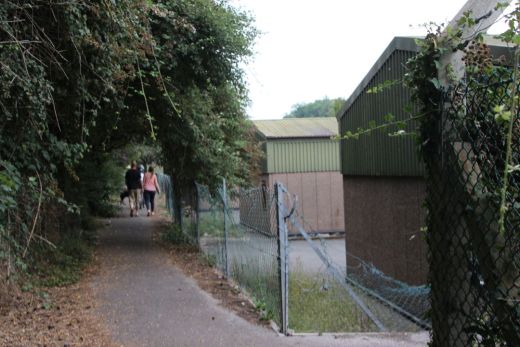
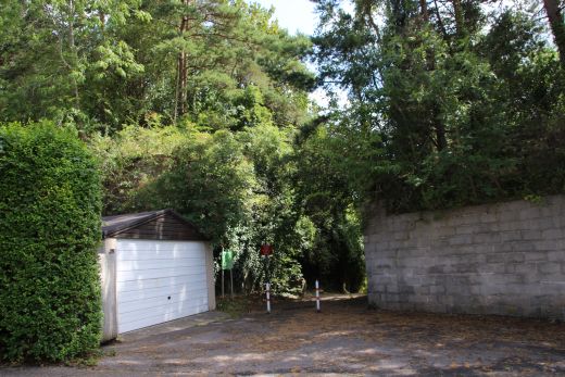
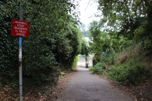
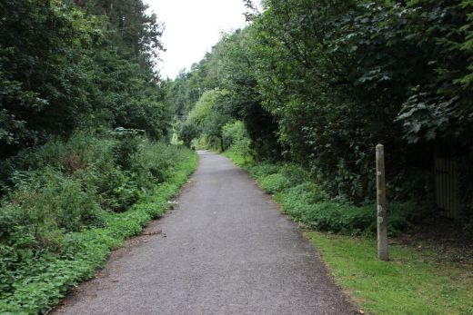
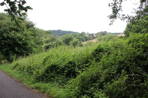
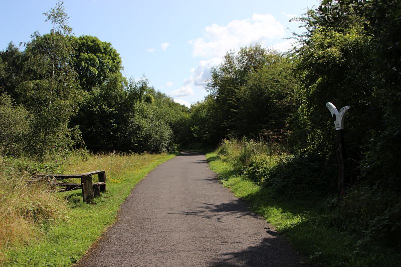
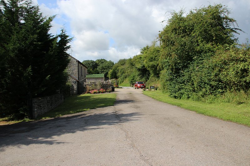
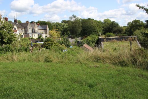
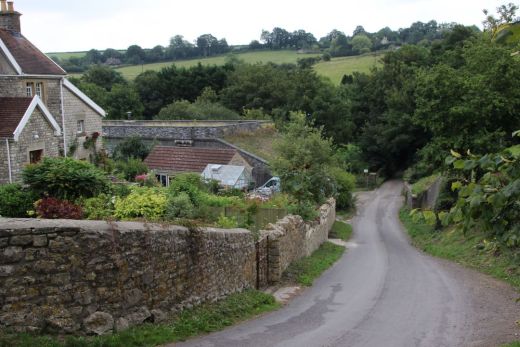
Start of the walk on the track bed, towards Shoscombe. There was
nothing on this side of the railway ands the large industrial
estate came after the railway had closed.

Left: The start of the walk to
Shoscombe.
Right: Looking back towards the S&DJR station site.


Braysdown Bridge. This is where the spur on the east side of the bridge
came in from where I am standing. The signal box
also stood on immediate right.

There was a triangle junction here on the south (right hand side) too and
from Writhlington Colliery. The north facing spur coming in on the bridge,
to the left. The
south facing spur just up ahead and facing towards Radstock S&D
station.On the right hand side were coal sidings and a tramway too and
from Braysdown colliery.
There was also a colliery branch southwards that linked to the
Radstock-Frome branch near Foxhills.This was a 'Y' junction, the north
spur coming in on the
bridge to the left. The south facing spur just up ahead and facing
towards Radstock S&D station. It was from these coal sidings that the
fated coal train went onto
the main running line and collided with the passenger train
in 1876.

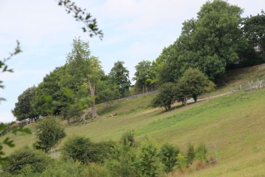
It's difficult to imagine that there was so much railway around this
bridge but as can be seen there was a number of coal sidings and a 'Y'
junction too and from Writhlington
Colliery. Plus a tramway northwards to Brasdown Colliery. If you look
carefully into the heavily wooded area to the south you can just make out
the widening ground that
was the 'Y' junction but probably more visible during winter months.
Braysdown Colliery closed in 1973.

Lower Writhlington Colliery, S&D mainline and triangle junction. Taken
at a time when the line was single and as it was when the
1876 incident occurred. (Author Unknown). From Flikr.
The notice board tells the sad story of the train crash that happened here
in 1876.
I sat here for some refreshments and pondered on what it must have been
like.
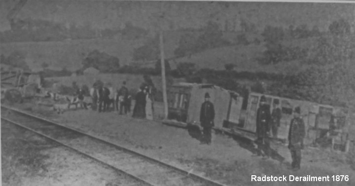
This was also the site of a very serious train collision in1876 when a
train from Braysdown Colliery and an excursion passenger train from
Bath
collided at consederble speed on the single line and 13 people passengers
and train crew were killed. The railway had only been open two years
at the time and this was the worst fatality in the railway's history. The
passenger train had been running down the steep gradient from Shoscombe.
Cropped from the public sign at the spot on the track bed.


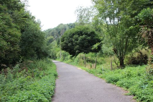
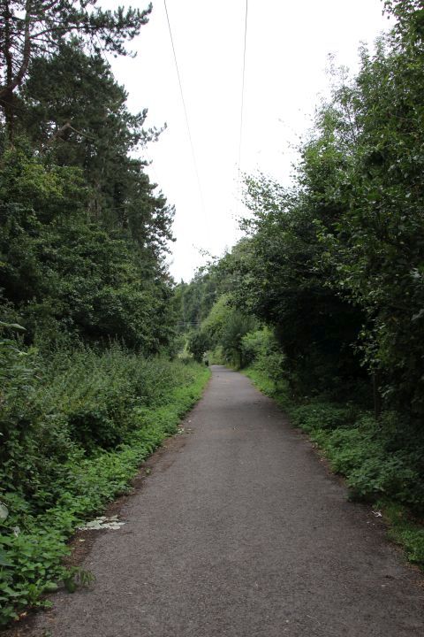
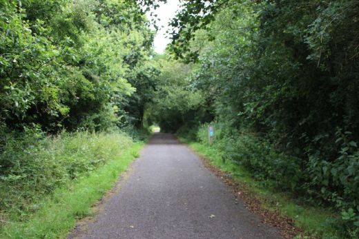
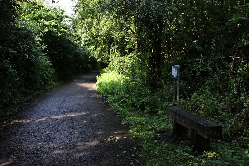
Left: The track bed continued straight ahead following the trees on
the right while the new path up the incline to Shoscombe Vale starts
just around the bed to the left.
Right: Again, the path continues straight ahead and the track bed was
within the trees on the right.

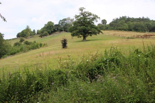
Cyclist tackle the gradient from the base of the climb.

Looking down the gradient.
Looking back towards Radstock.
Looking northwards towards Bath.
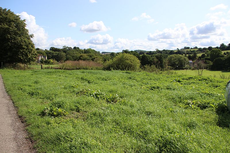
Both from the path looking down on the S&D track bed approaching the
summit by the farm at Slocombe Vale.

Left: The gate at the summit.The path from here to Shoscome is used
by domestic & farm traffic. Right: From the same spot,
looking southwards where the line drops straight ahead downt to Radstock
The car is standing on the track bed on the approach to the summit.
Towards Radstock.
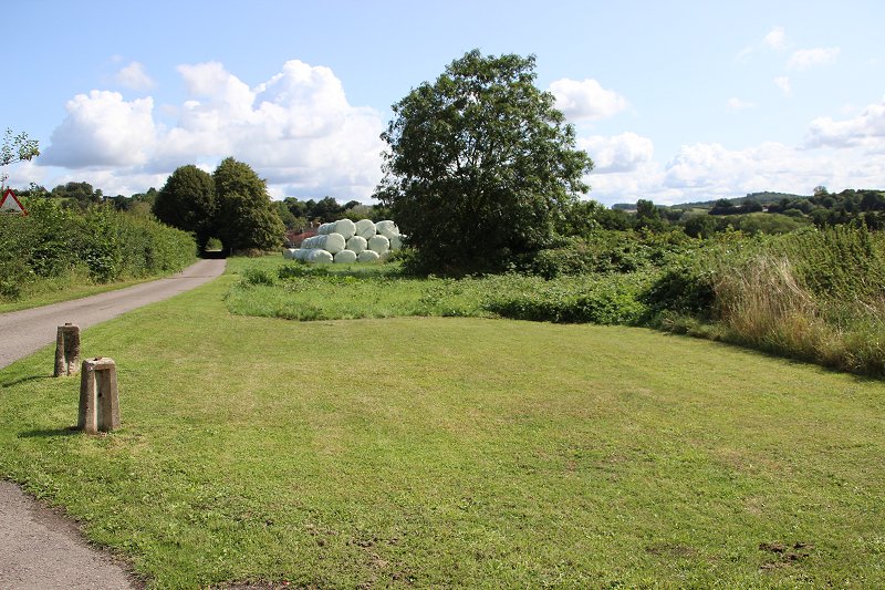
Same spot. From the summit looking as it drops down towards Shoscombe Vale
(Viaduct). The track bed is in line with the trees and
straw bales. The path from Radstock is on the left and is used by
farm and domestic vehicles road up to the road junction at
Shoscombe Vale.
Ditto

The way is blocked by a gated (private) field. I took a chance and climbed
over the fence and walk over to the gap over looking
the viaduct.
Approaching the gap where the viaduct arch over the road has been
demolished.
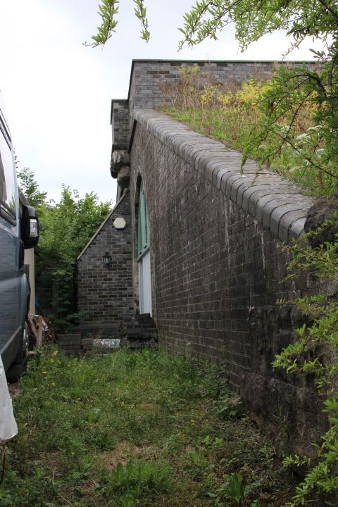
Western end of the viaduct, which forms the roof of the house built within
the arches. A chimney of one of the rooms is seen.
It is unlikely that the railway will ever be rebuilt over this. A
divergence would be required.
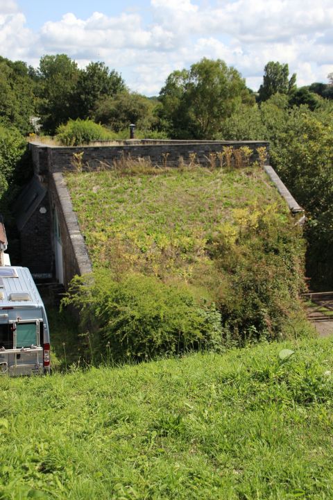
The western end of the viaduct where the two aches over te road have been
demolished.

Back on he path leading up to Shoscome Vale.

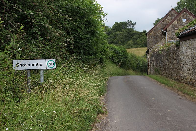
The road junction at Shoscombe village.
The end of the path until you reach Single Hill village.

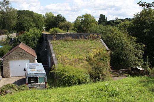
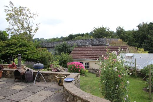
The remains of Shoscombe Viaduct that has been turned into a private
dwelling with all the arches windowed in as separate rooms. Two
arches have been demolished that included the arch over the road.

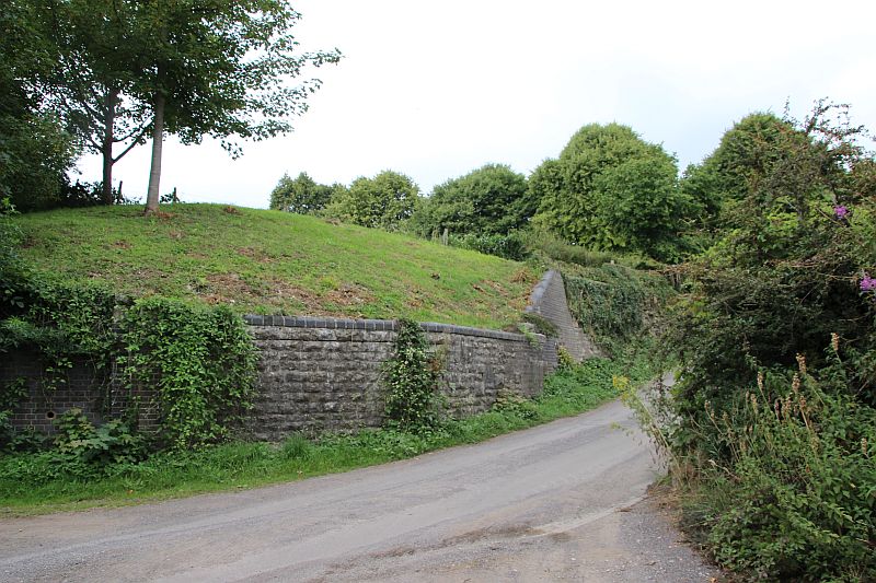
Left: South side of the viaduct with the embuttment remains whre the
railway ridge stood. Right: Western end of the railway abutment.

South abutment remains.
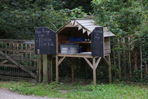

Left: Local produce on sale by the resident of the Viaduct
House.
Right: Country view from th south side of the road by the Viaduct.

The five remaining arches have had windows & doors to
form individual rooms and a raised platform/patio along the front of
the house.
Left: Notice, you can just make out the cut-off of the two most western
arches which included the actual bridge that went over the road.
The retaining wall is in excellent condition.
The embuttment remains of the south side of the viaduct arch that was the
Ex road bridge
Fom near the same spot as above. The seven arch viaduct and road bridge as
it was. (Author Unknown).
Left: The east side abutment remains of the Ex road bridge.
I managed to get permission to go down the
path between the two houses and to take a few photos.
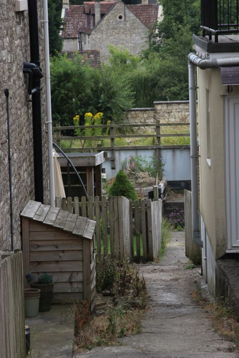
The Viaduct. Taken from a gap between houses on the main village road.

Left: Entry onto the viaduct is prohibited due to it being the roof of the
house. Right: The gap where the road ridge was showing the remains of the
abutment as the line
carried on to the summit.
The main road through this small village. I can understand why the
halt was placed at Single Hill, it being a larger community but wonder why
the halt was'nt named
"Single Hill For Shoscombe". Left: Towards Radstock. Right: Towards Bath.
The east end of Shoscombe Village. Towards Single Hill. The road
is very narrow with steep, sharp turns. Care should be taken
from here into Single Hill which is approx. half a mile.
===========================================================================
To: Shoscombe Vale To Single Hill Halt
Back To S&DR Index
Other railway walks:
The Dundee & Newtyle Rlwy Walks
Opened in 1831 the route had
three incline planes. The first was from the terminal
station on Ward Street, up the Dundee Law, where
there was
also a tunnel. The second was the Balbeuchley incline
at Rosemill and the third at Hatton that ran down to Newtyle
station. It was also the very first passenger
train service in Scotland.
Worked by Horse over the levels until the first steam engine
was purchased in 1833. Came under the Caladonian Railway
with it's terminal moved to Dundee
West station. Passengers
service ended in 1952 and the line totally closed in the mid
60's. The inclines were by-passed in the 1860's.
The Cromford & High Peak Incline
railway in Derbyshire has been luckier in having much of
it's buildings, including an Engine House preserved. This is what could have
happened with
the D&N, indeed, should have happened with at least one
of the D&N inclines. However, the C&H gives an
excellent comparison of what the D&N would have looked like,
albeit the
inclines were only single track.
Boddam To Ellon Branch (Walks)
By Bill Reid. Ex GNSR branch line.
Dyce To Fraserburgh and Peterhead Walks. Ex
GNSR
Bath To Wellow Rlwy Walks Ex
Somerset & Dorset Rlwy.
Chippenham To Caln Walk.
The
Test Valley Railway Walk. (New Mills To Hayfield).
All My Web Sites (Web Pages, Flickr
and Videos).
Hosted by www.theatreorgans.com
BACK TO HOME PAGE
This page brought to you by:
VintageHammond.Com
- We Buy-Sell-Trade Vintage Hammond Organs and Roll or Kari Organ/Vending Machine Moving Dollies Order Roll or Kari Dollies Here