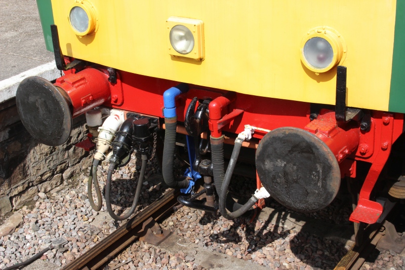
A DMU standing in the down platform. Not in service.
BATH TO BRISTOL RAILWAY WALK
(5th Aug. 2018)
BITTON TO BATH GREEN PARK
By taking the train from Bitton to
Oldmill Common and then back through to Avonside Halt I managed to
cut off a couple of miles
walking when starting on the Footpath to Bath Green
Park. It did mean that I hadn't covered the section to Warmley but
that
made for a visit another time. This walk begins with the train
leaving Bitton for Avonside station.
==================================================

A DMU standing in the down platform. Not in service.
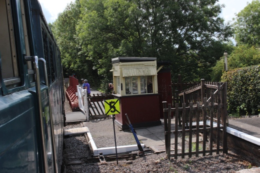
Departing from Bitton Up platform and about to cross the under bridge,
past the ground frame Cabin.
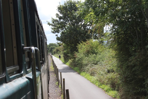
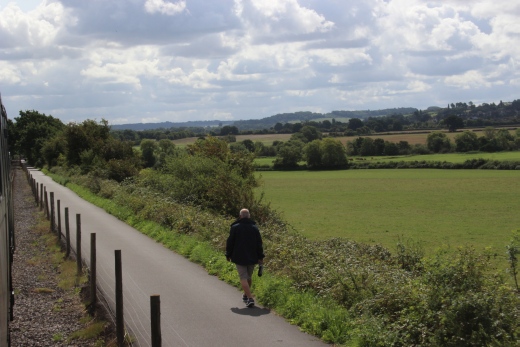
Out into the open countryside with the Footpath alongside.
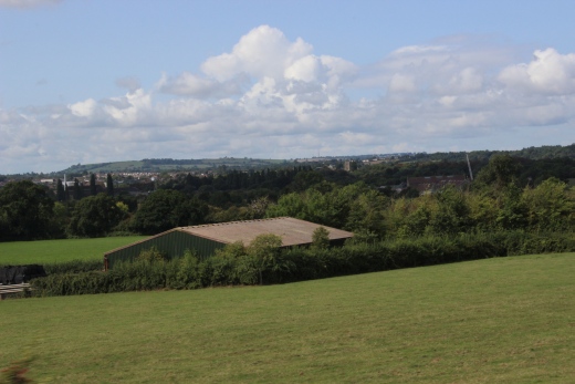
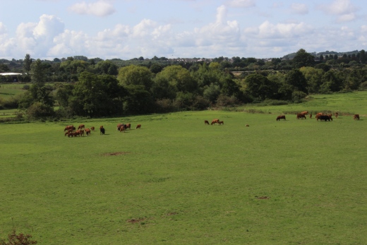
Views to the south from tjhe track bed.
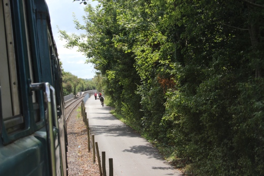
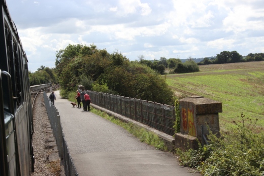
Avonside Halt comes into view as we begin to cross the river viaduct.
There was not a station at this spot and, hopefully,
this is just a temporary terminal until the Avon Valley can find a way of
getting closer to Bath Green Park.
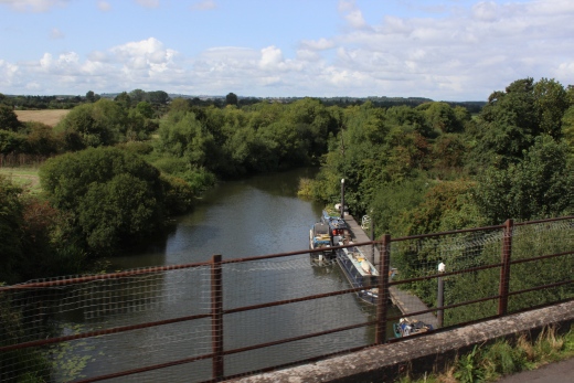
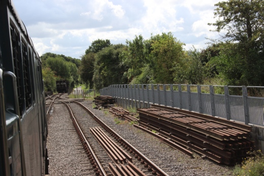
Left: Once at Avonside you can take a crouise on the
canal.
Right. Stopping at the Bath end of Avonside Halt.
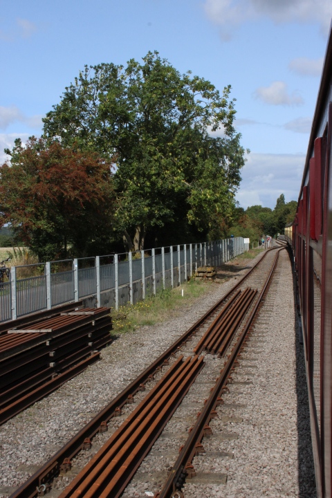
The run-round loop.
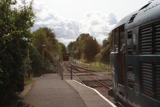
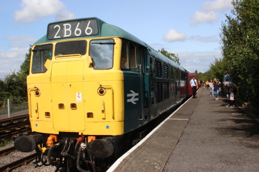
Waiting for 5518 to uncouple and round round the coaches for the return
trip to Bitton.
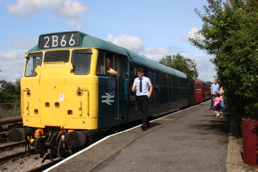
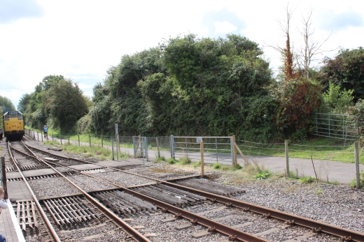
Ready to start the shunt and the driver changing ends and enter the loop
for the run round movement.
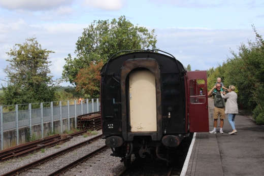
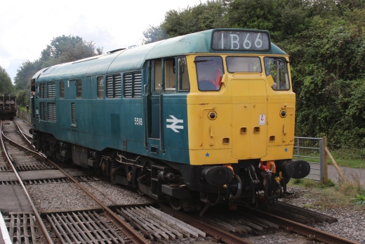
5518 on the loop to run around the coaches.
Left: The loco passes the coaches. Right: We see the loco about to reverse
back onto the Bitton end of the train.
Having watched the train depart back to Bitton I started my walk towards
Bath.
Left: A farm access over bridge that comes off Avon Lane. Right: A
stonewall where something appears have been built.
Only four miles to go.
The Bird In Hand at Saltford. Looked inviting.
Saltford didn't have a station on the route but -Kelston
station was close by
this spot.
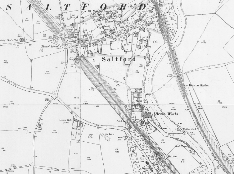
NLS Map of Saltford. Shows both Kelston station and, Saltford station
on the GWR route. Neither were very
convenient to the village. Kelston appears to have been in the middle of
nowhere as there was nothing but a
footpath to it. There appears to have been a large Mansion in
Kelston Park which is a care home today. You
can see how the two railways started to bet closer to each other as they
approached the outskirts of Bath.
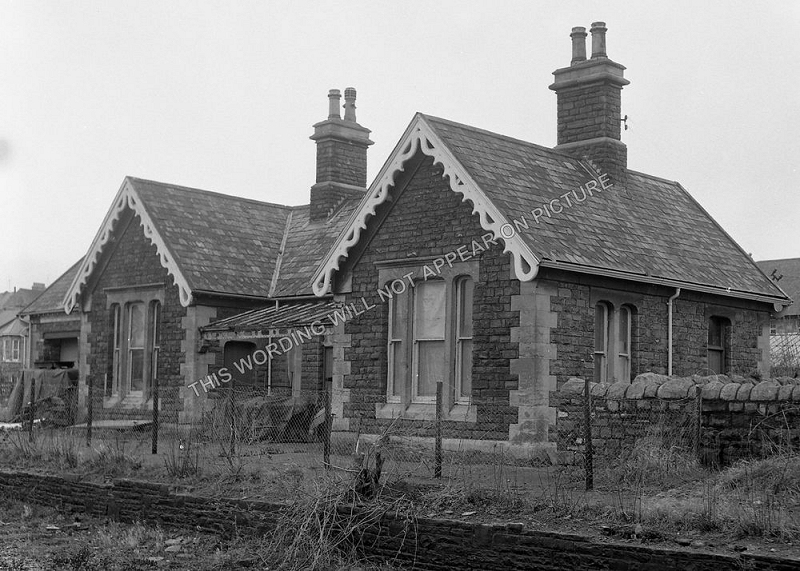
There doesn't appear to be any remains of Kelston station today. This
photo is available to purchase on the Internet without the
watermark. (Author Unnown).
This is close to where the station was but I could see nothing that would
look like remains. However, it quite over grown at each side and you may
see something during the Winter months.
This bridge crossed the river on the bend near Kelston Park, which is on
the north side.
The river Avon seen from the track bed. Back towards Saltford.
A Bristol-Westbury unit runs towards Bath. I can remember seeing movements
on the S&D track bed from the mainline.
A culvert under the main line a little way further eastwards.
New Bridge Road over bridge.
Multiple Unit approaching Bath Spa station for Westbury.
The over bridge carrying the Newbridge Road over the rack bed. This
is the junction with Bath Road.
The A4 and the A36.
The remains of a brick-built Ganger's hut.
Towards Bath.
Towards Bitton.
This is an unusually large iron bridge, on the outskirts of
Newbridge, that held only two tracks.
The western edge of Bath comes into view.
At Brassmill we reach the end of the track bed. The remainder into Bath
has either disappeared or is impassable. You can but follow the Canal side
path up to the Ex railway over bridge by Bath Green Park.
Here you drop down off the track bed and follow the path ahead, that was
the track bed for a short distance where you
cross a Industrial Unit car park to get onto the Canal footpath.
Left: Sign at the road junction. Right: Across the car park and around the
far side of the building then along the rear of the Unit until you come to
a short stair
case onto the Canal footpath.
The steps down onto the riverside footpath.
Following the River for the final 2 miles into Bath Green
Park.
WESTON LOCK
The entrance into the canal off the River Avon.
By the canal. Avondale Road, Weston.
Weston Station
It's
not possible to get onto the station site. However the station
building still remains and the front can be seen on Ashley Avenue
and the platform side just visible from Locksbrook Road. The station
had a goods siding.
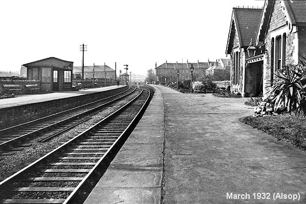
Weston Station. Towards Bristol. You can just make out some wagons in the
goods siding at the
Bristol end, on the left by the signal box. (March 1932. Alsop).
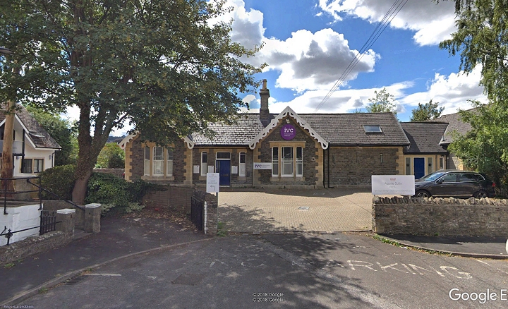
The concourse and entrance to the station on Ashley Avenue It is a dental
clinic today.
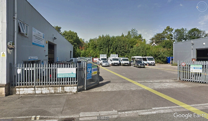
The From Lockstock Road. You can just see the top of the station building
to the right. The track and platforms ran
left to right within the trees. This may have been part of the Goods
siding.
-------------------------------------------------------------------------------------------
---------------------------------------------------------------------------
On the south side we now pass what was the large Gas Works site.
The ex Somerset & Midland Railway over bridge. It's a pity that this
is no longer usable as it would have made a direct track bed walk
into Bath Green Park.
Windsor Road Bridge and Footbridge.
Below Windsor Road Bridge
This bridge used to carry rails over the river between the Gas
Works on both sides of the bridge. A natural gas pipe still crosses
the river.
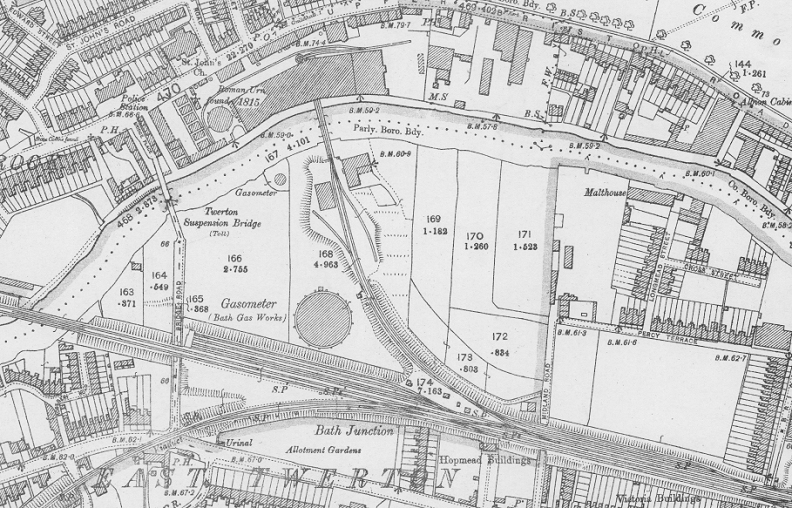
NLS Map showing the Gasworks railway track work with the bridge crossing
the river. Just below is Bath Junction where the
S&D turned southwards and crossed the GWR mainline for Bounemouth.Only
one gas tank stood at the time of this map of
1888-1931.
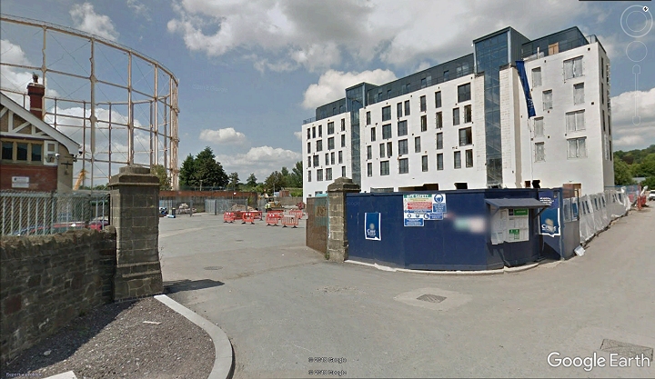
From Google Earth. The gas works site today at the north end of Midland
Road, where the gas work's track crossed
the river at the trees just behind the gas tank.
This is a new over bridge and I can't find a name for it at the moment.
Victoria Suspension Bridge. It may have, or still is called the Twerton
Suspension Bridge!
The northern stone arch column. Steps lead up onto Victoria Bridge Road.
Interesting present day view of what was once mainly Gas Works land.
The final stretch with the Ex S&D over bridge in front of Bath Green
Park station site, up ahead.
I was surprised to find a gap in the trees to
my left as I walked the canal path. It lead into the common grounds
in front of the famous Norfolk Park Crescent
and it's fine sandstone buildings.
Norfolk Park Crescent.
Left: Contnuing the final length of Footpath towards the Bath Green Park
over bridge. Right: In railway days we would have been looking at the
S&D Loco Depot
on the immediate far right. It is now a car park.
There were two railway over bridges but the north side section was
demolished and a narrower modern footbridge built in it's place.
Left: Looking westwards towards Bitton and Warmley. Right: The remain Ex
railway over bridge on what is now Stanier Way. A set of stairs take you
up the side
of the bridge and into Bath Green park station site.
Photos of Green Park station are on Bath To Wellow Rlwy Walks.
======================================================================================
Other railway walks:
The Dundee & Newtyle Rlwy Walks Opened in 1831 the route had three incline planes. The first was from the terminal station on Ward Street,
up the Dundee Law, where there was also a tunnel. The second was the Balbeuchley incline at Rosemill and the third at Hatton that ran down to
Newtyle station. It was also the very first passenger train service in Scotland. Worked by Horse over the levels until the first steam engine was
purchased in 1833. Came under the Caladonian Railway with it's terminal moved to Dundee West station. Passengers service ended in 1952 and
the line totally closed in the mid 60's. The inclines were by-passed in the 1860's.The Cromford & High Peak Incline railway in Derbyshire has been luckier in having much of it's buildings, including an Engine House preserved. This
is what could have happened with the D&N, indeed, should have happened with at least one of the D&N inclines. However, the C&HPR gives an excellent
comparison of what the D&N would have looked like, albeit the inclines were only single track.Boddam To Ellon Branch (Walks) By Bill Reid. Ex GNSR branch line
Dyce To Fraserburgh and Peterhead Walks. Ex GNSR
Bath To Wellow Rlwy Walks Ex Somerset & Dorset Rlwy.
Contact: reidcrcwdr@talktalk.net
Hosted by www.theatreorgans.com