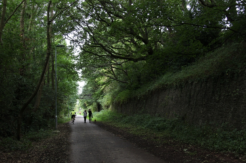
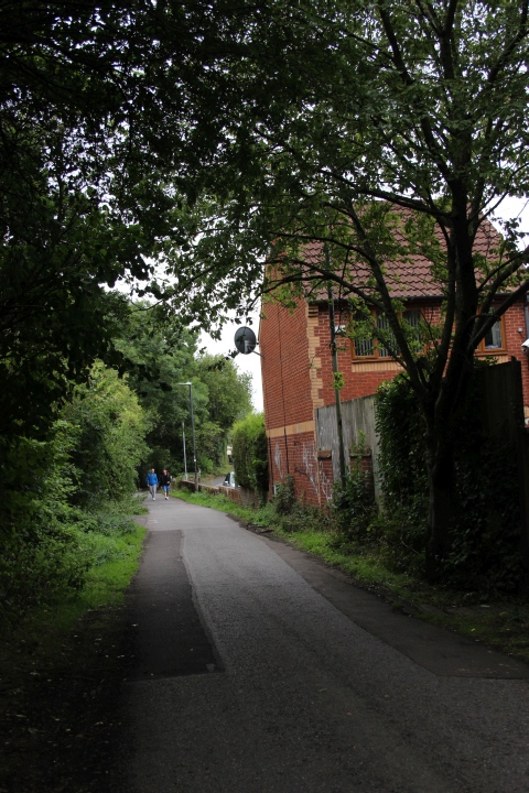
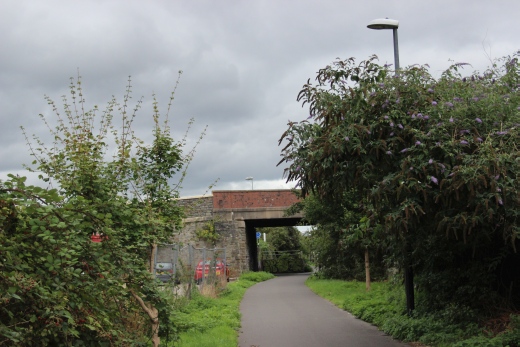
Leaving Mangotsfield and heading towards Staple Hill.
BATH TO BRISTOL RAILWAY WALK
(27th Aug. 2018)
MANGOTSFIELD JUNCTION TO BRISTOL
For this track bed walk I took a
train to Bath Spa then a bus to Warmley ad walked the old railway
to Bristol where I caught the train back home.
I knew of most of the places along the route but had not been over
the line and was interested in seeing what was left of
Mangotsfield station and
triangle junction as well as the stations at Staplehill and
Fishponds. There is little left to show where Kingswood junction
was and required
checking out on on the NLS maps to pin it down. I remember the
over bridge over the mainline by Fiveways Junction still being in
was back
in 1964/5. Mangotsfield is still an interesting place but it is
sad to see it in it's present state. South junction is no more as
the line a mile or
so fromWarmley disappeared under the new road scheme as did the
track bed of the Rodway mineral railway that ran from Melksham to
Westerleigh although you can still see short sections of it that
can be walked. It is an enjoyable walk.
==================================================

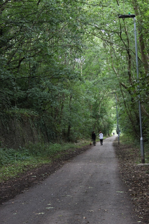
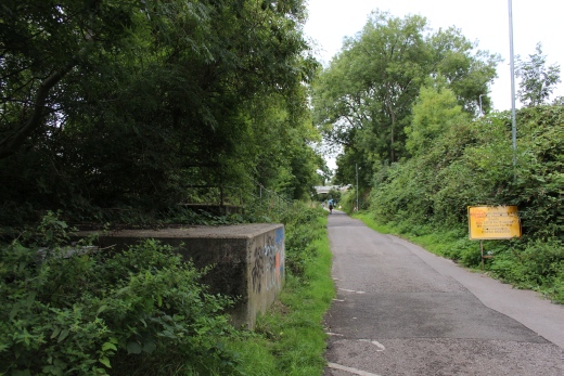
Leaving Mangotsfield and heading towards Staple Hill.
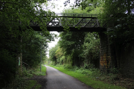
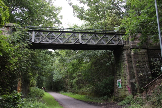
A footbridge that leads between Station Road on the south side of the
railway and to Charnhill Crescent on the north side.
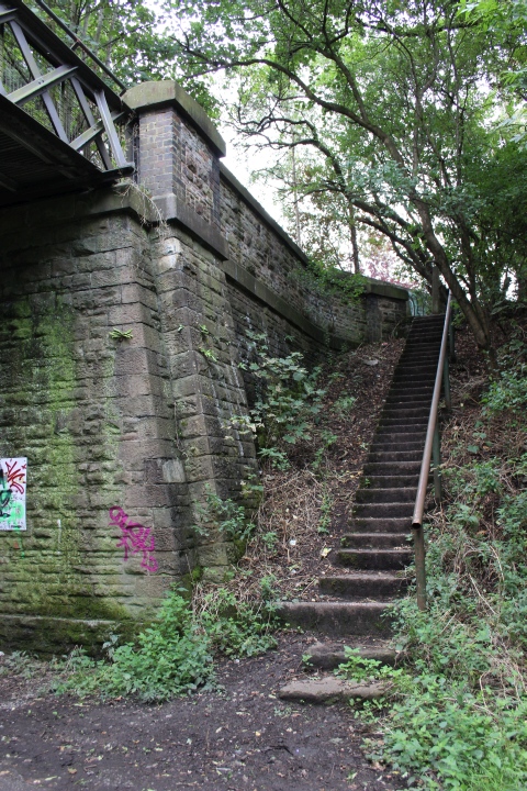
There are steps up onto Station Road.
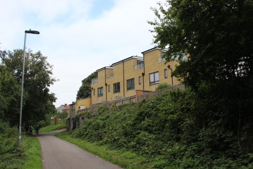
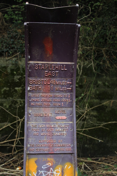
Staple Hill East.
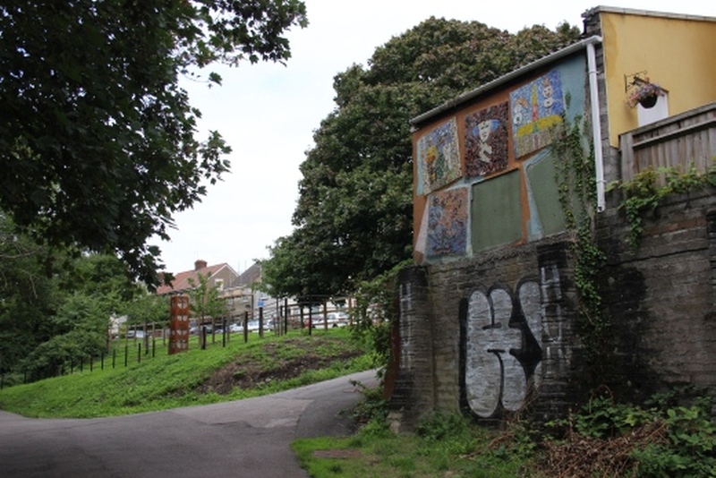
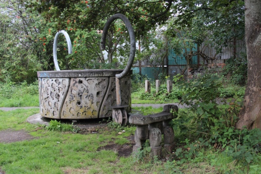
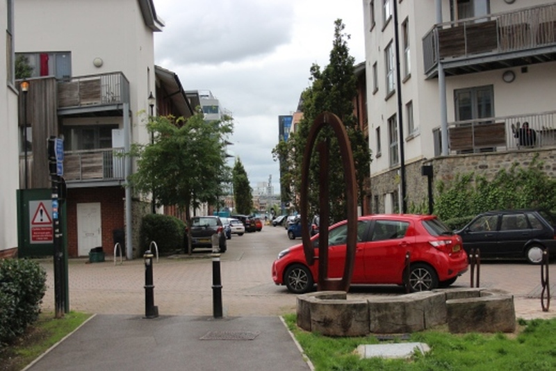
By the entrance onto Signal Road,
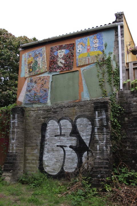
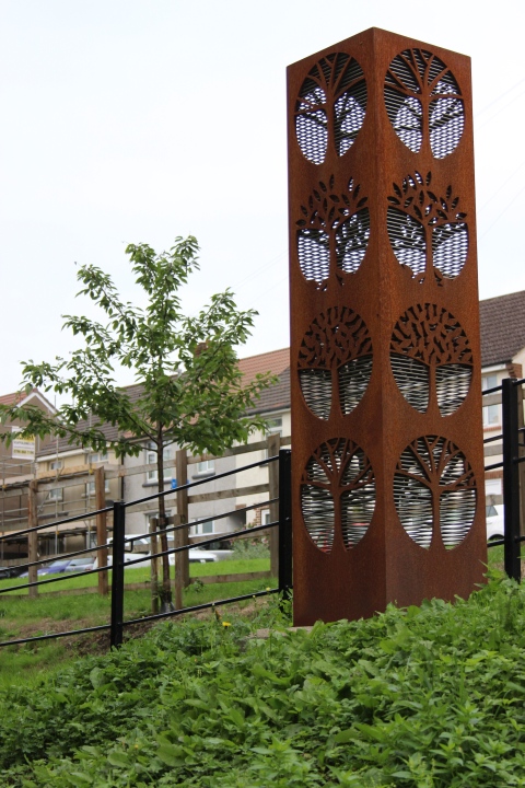
Left: The rear of someone's garage on Signal
Road.
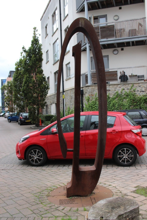
Right: Metal art work.
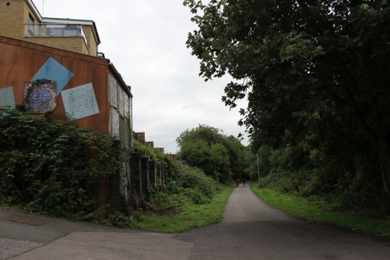
Back towards Mongotsfield.
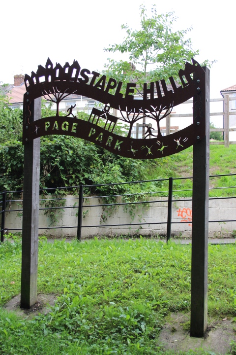
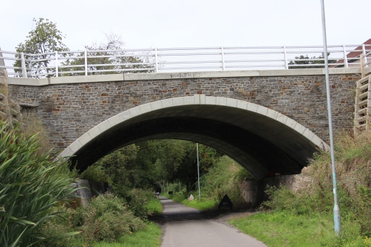
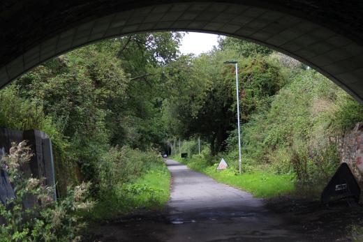
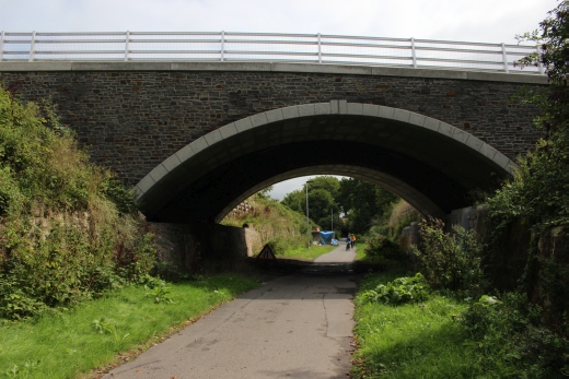
Teewell Hill road bridge.
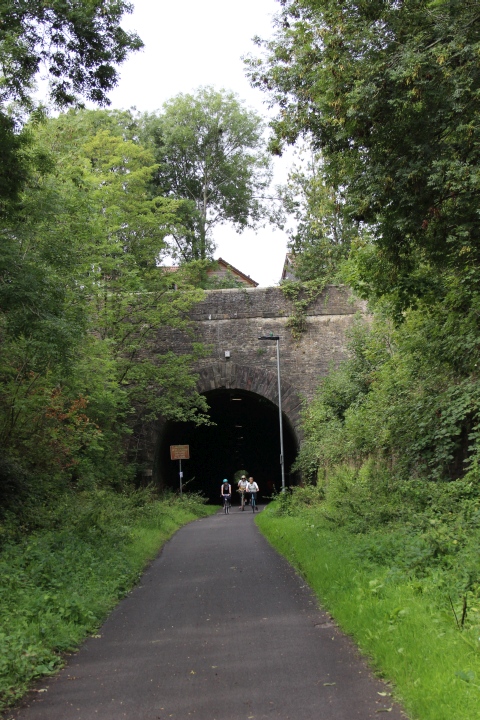
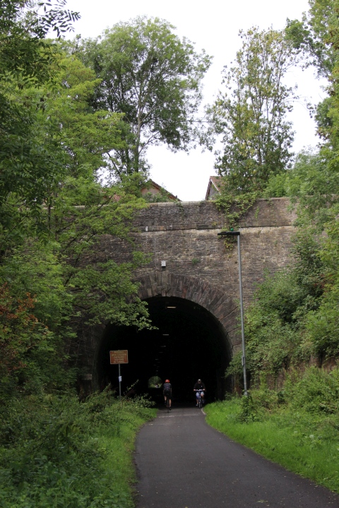
Staple Hill Tunnel (North portal).
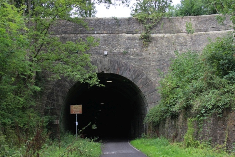
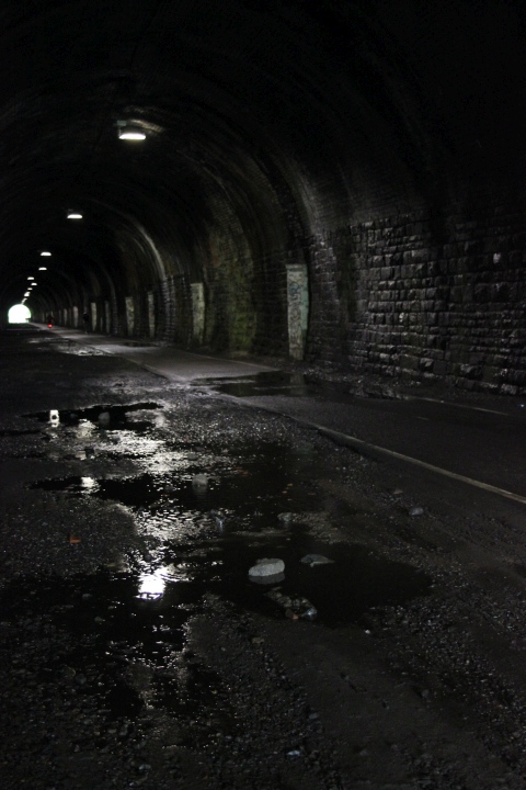
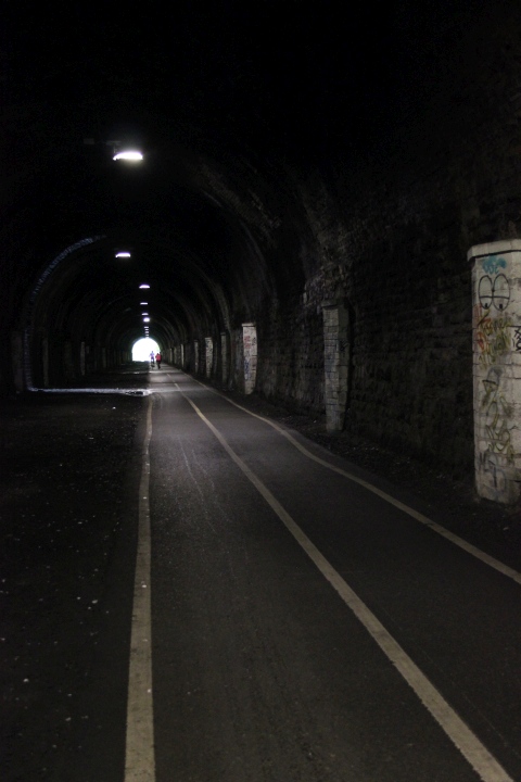
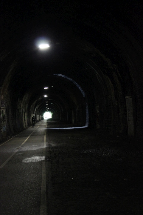
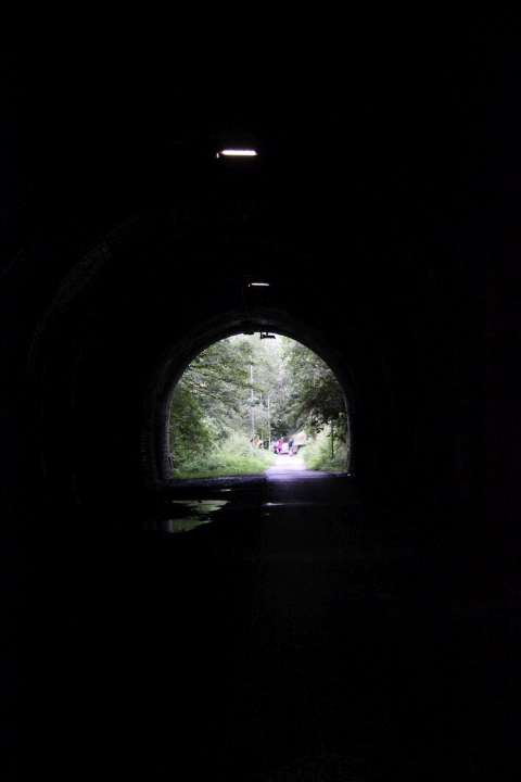
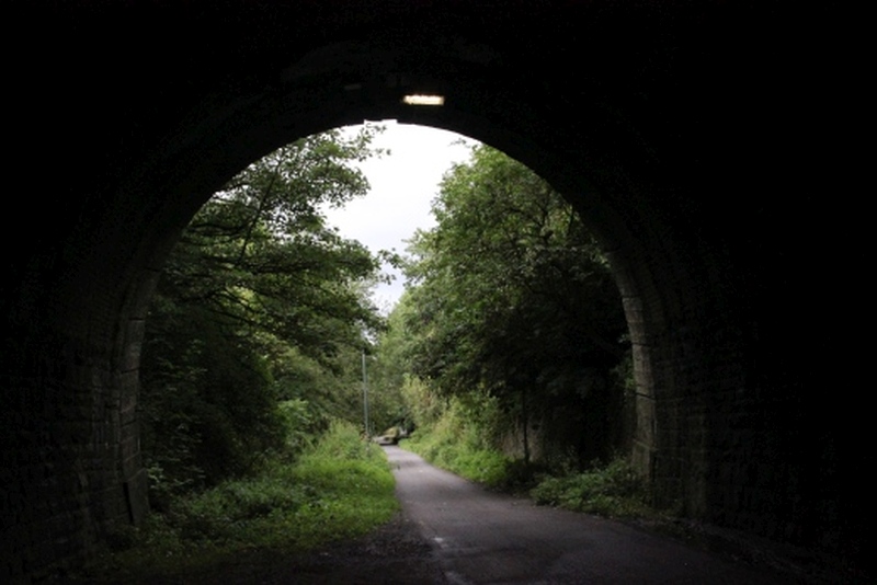
Staple Hill Tunnel. (South Portal). Towards Bristol.
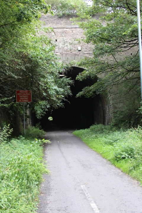
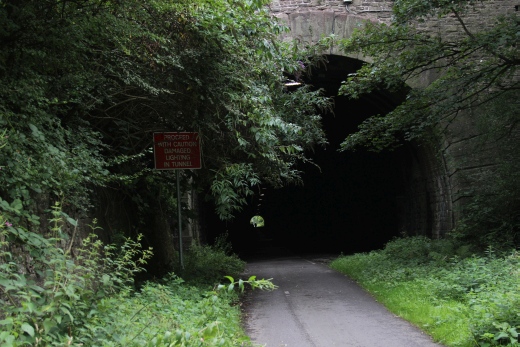
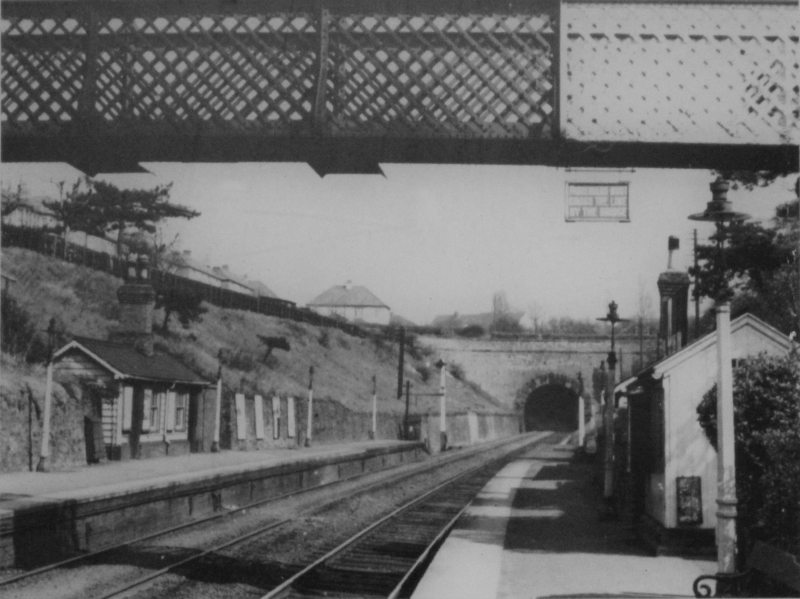
Staple Hill Station at the southern entrance to the tunnel.
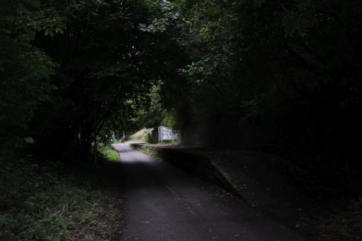
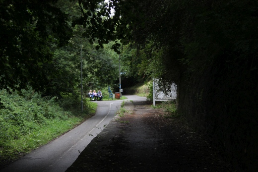
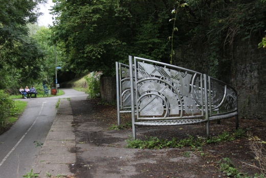
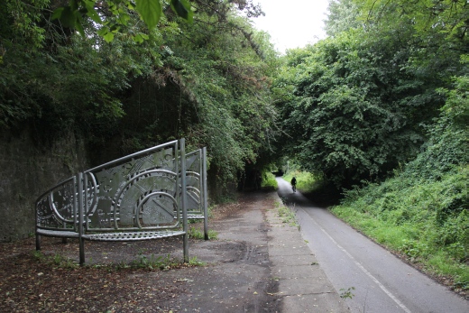
Staple Hill Station site.
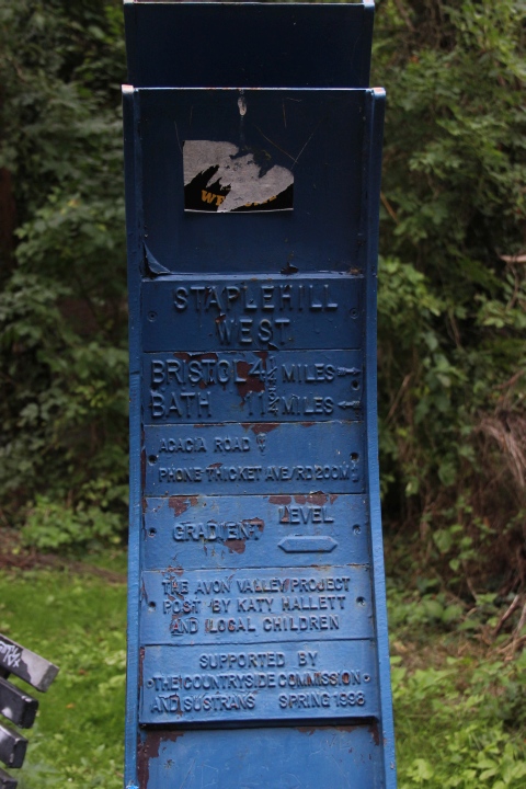
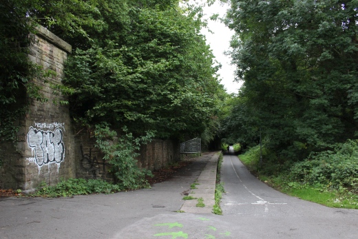
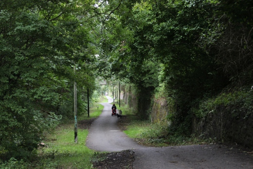
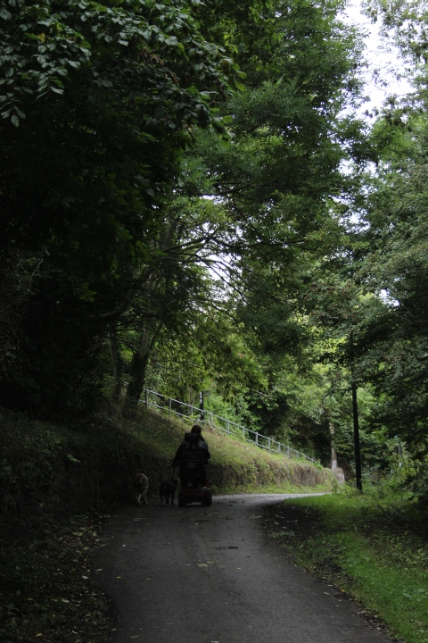
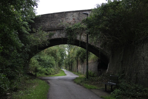
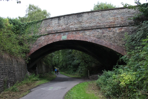
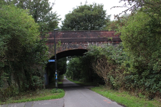
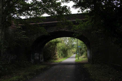
Ledbury Road, over bridge.
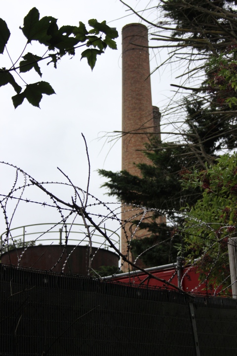
Marble Stone Works Chimneys. (Fishponds).
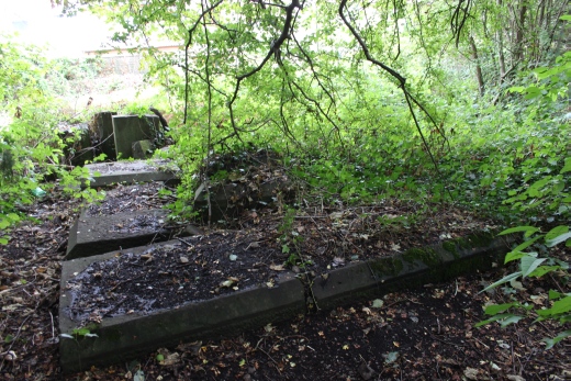
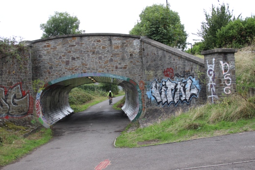
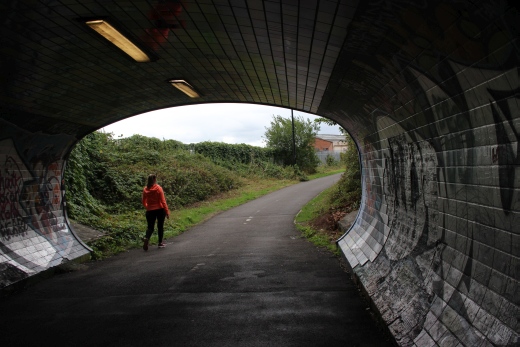
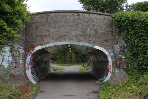
Filwood Over bridge. It has been strengthened for modern traffic use.
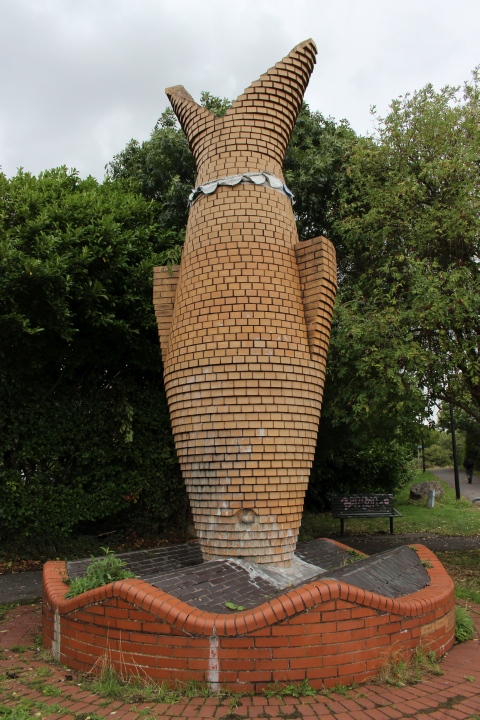
Fishponds station site. Dedication to the Tile Works that were
close-by.
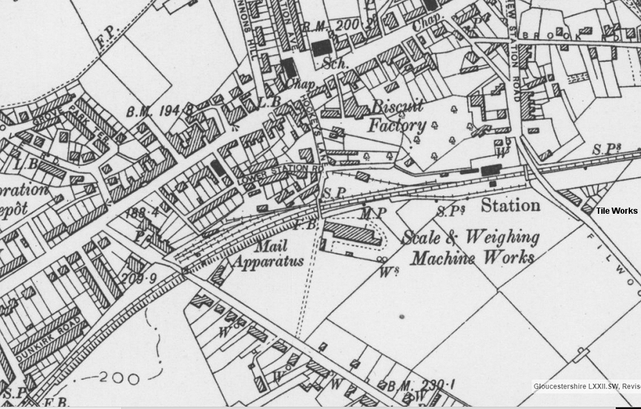
Fishponds Station Layout (NLS Maps). Morrisons is built on what was the
biscuit factory.
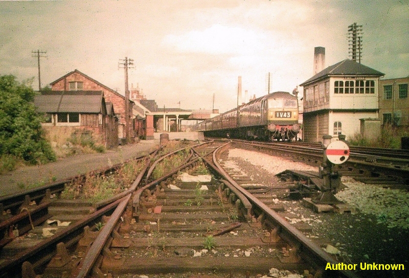
Fishponds in the 60's. Towards Mangotsfield. (Author Unknown). Note
the tile work's chimney behind the signal box
and the Marble work's chimneys behind the train.The tile works and the
chimney are no more.
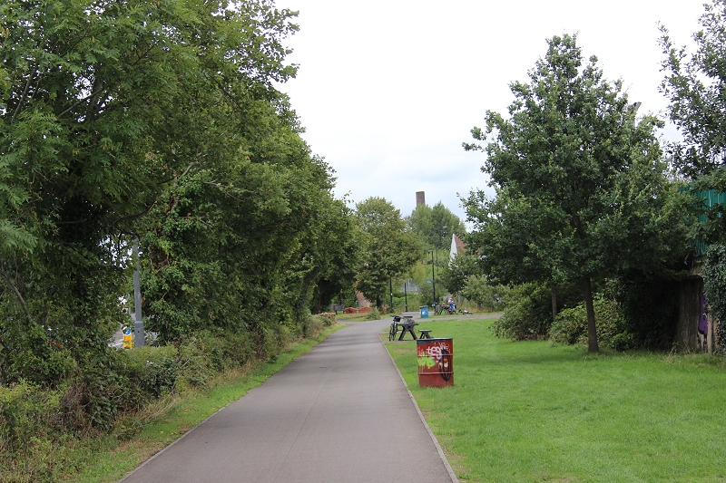
Towards Mangotsfield. Note the Marble Works chimneys in the background.
Close to the spot above.
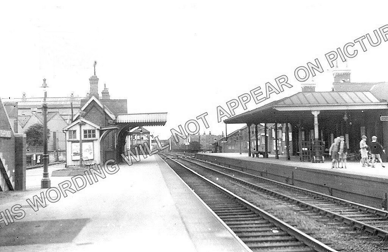
Fishponds station. Towards Bristol. (Author Unknown). Can be
purchased on the Internet without the watermark.
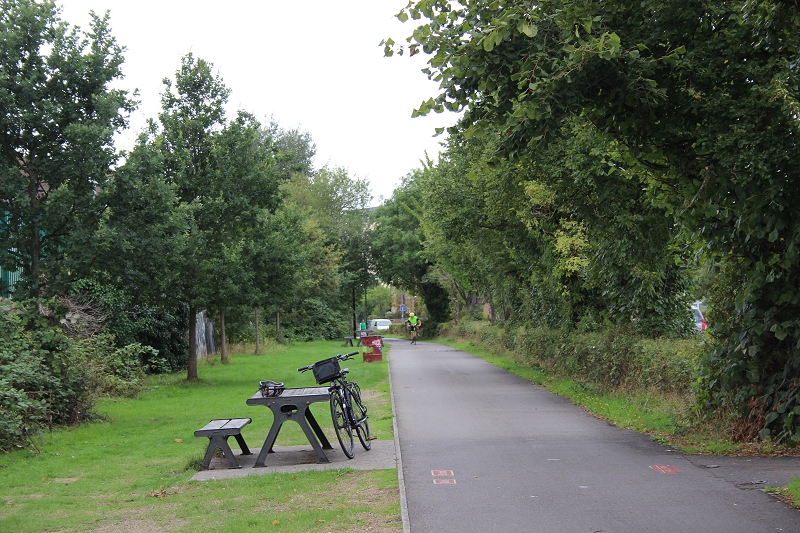
Fishponds station site. Towards Bristol. Close to the same spot as
above.
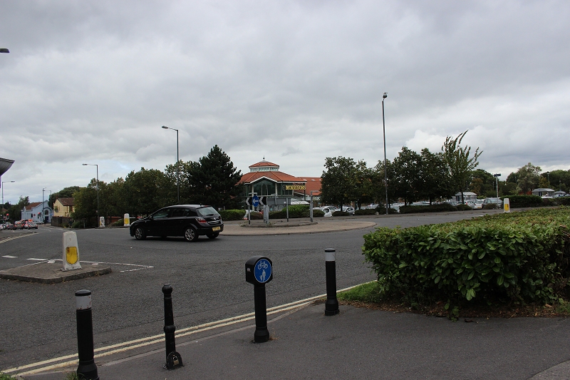
Morrisons across New Station Way.
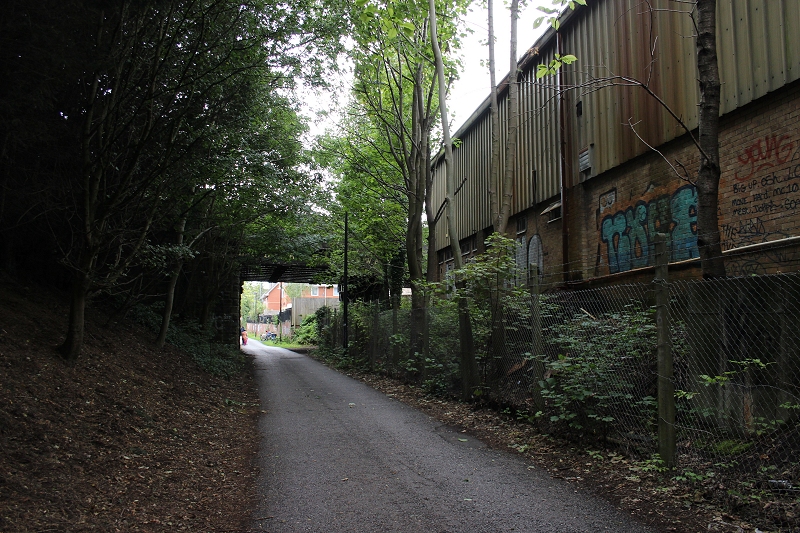
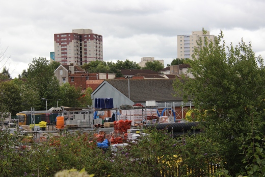
Towards Kingswood Junction site.
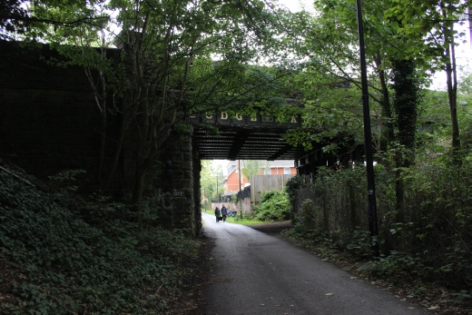
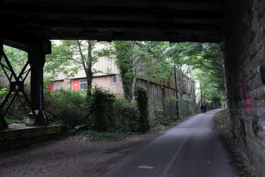
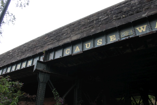
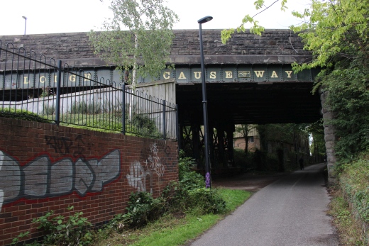
Lodge Causeway Over bridge.
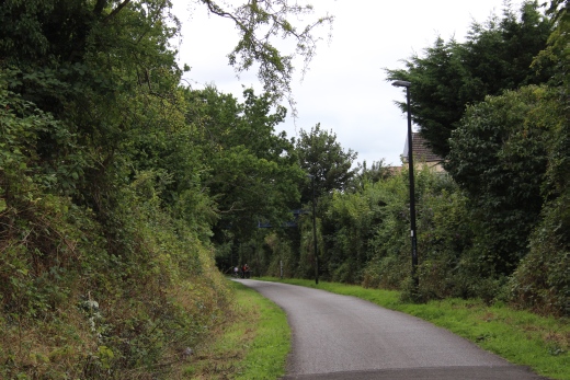
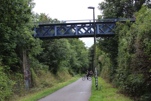
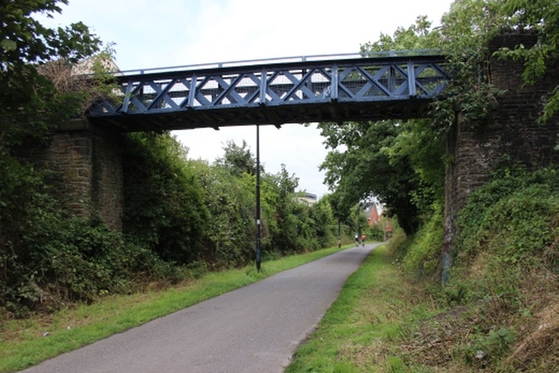
Footbridge that leads from Drummond Road
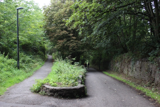
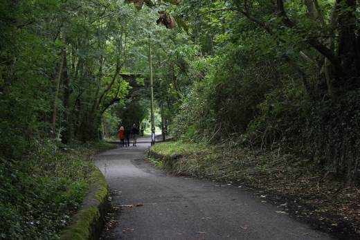
Again, the track bed has been narrowed due to forming a footpath from the
over bridge.
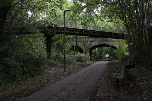
The Footpath over bridge looking back towards Fshponds.
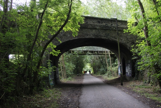
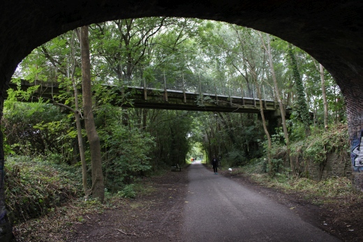
Ridgeway Over Bridge and Footpath bridge. The road bridge is narrow with
no pavements.
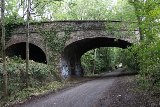

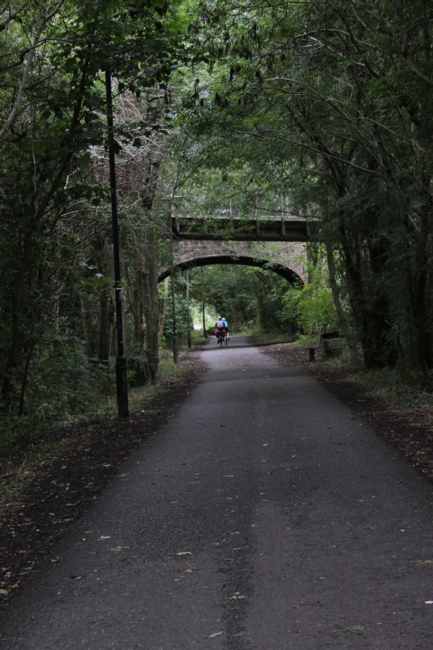
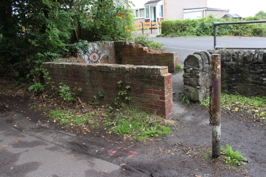
By Rose Green Road. The track bed is cut off by a new houses
and road
access.The path diverts around it for a short way.
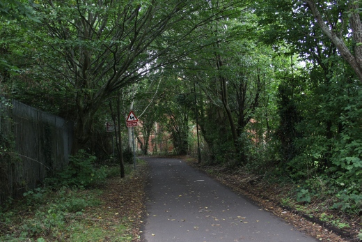
This is close to the site of Kingswood Junction. There is nothing
remaining that shows
just where it was. the path around the houses.
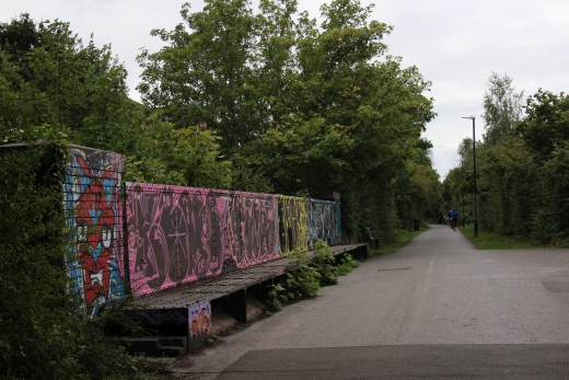
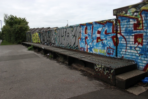
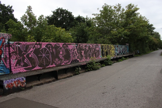
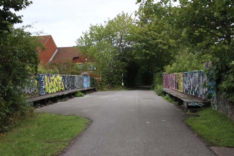
The bridge over the B449. Between Whitehall and Eastville.
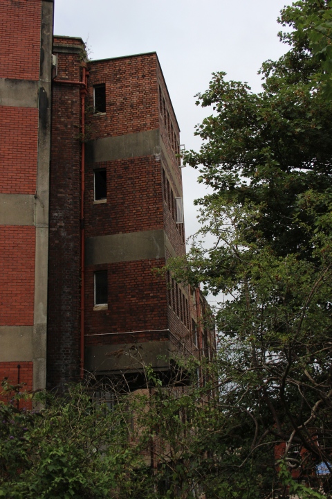
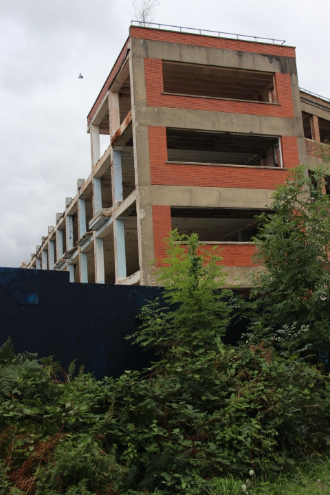
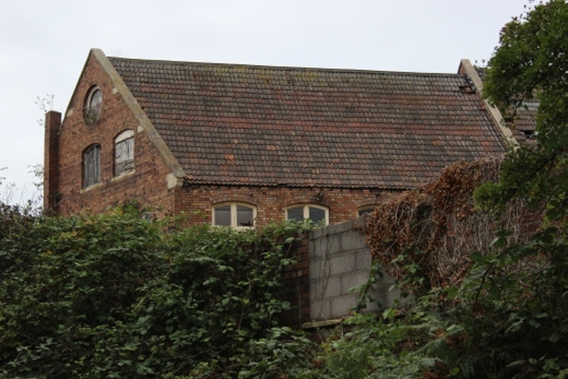
REMAINS OF RAILWAY WAGON WORKS
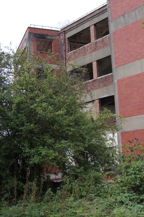
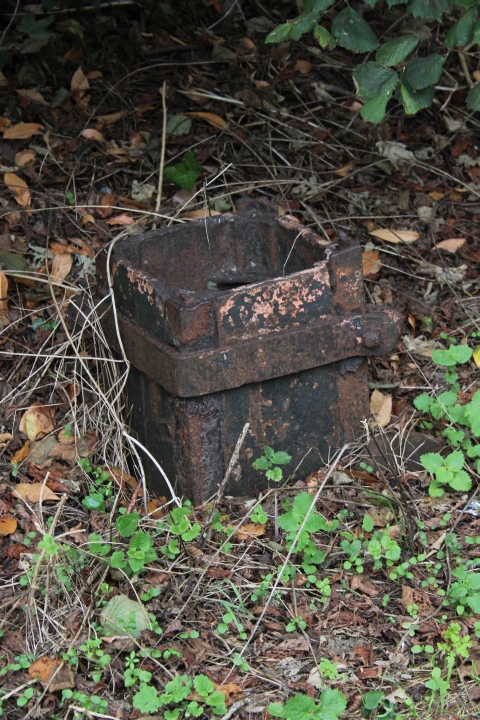
Stump of signal post at Kingswood Junction..
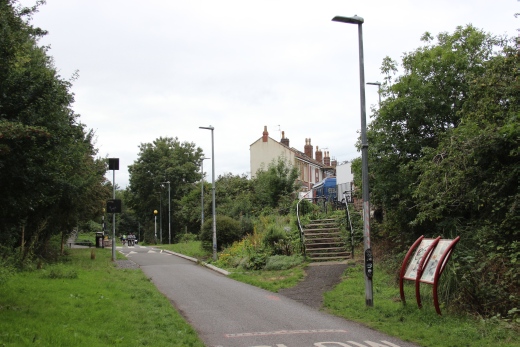
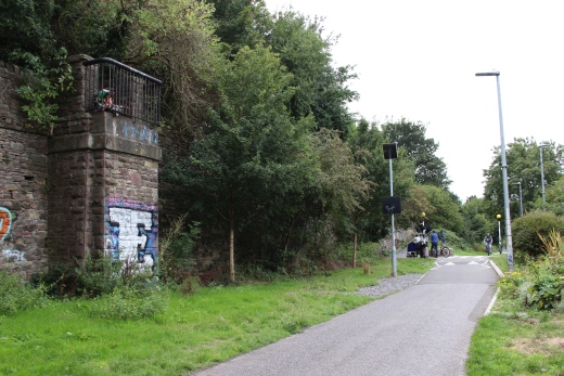
The old foot bridge crossed the track bed from Johnsons Road to Bruce
Road.
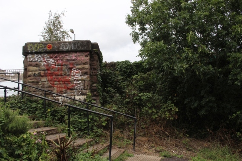
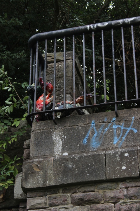
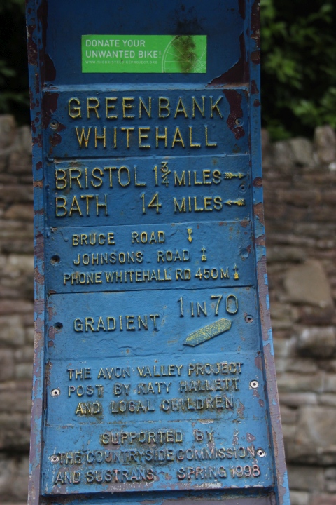
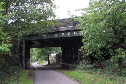
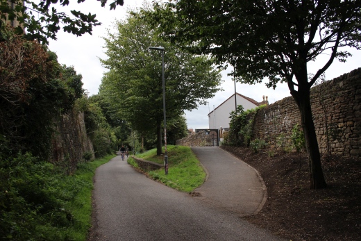
The track bed gets narrowed for a short distance. A new path has
been built up to the housing estate.
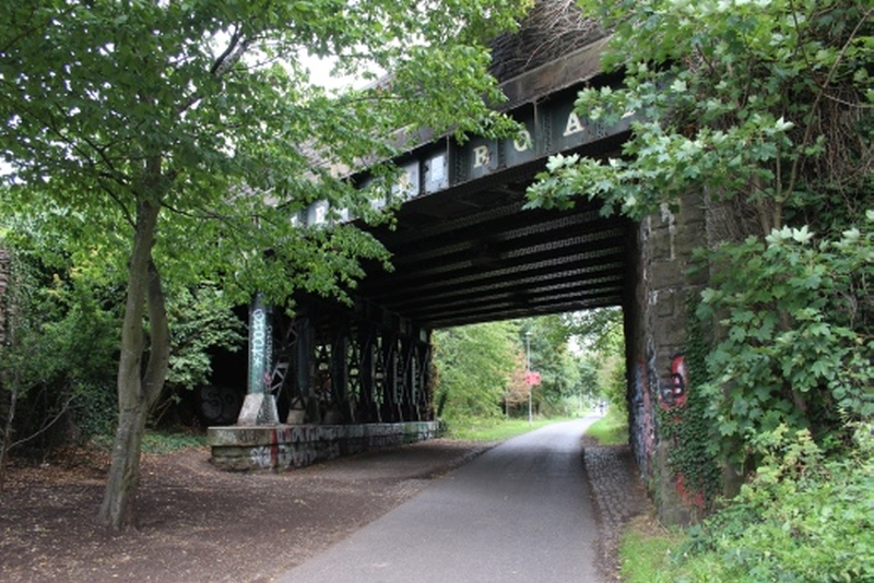
Devon Road Over bridge.
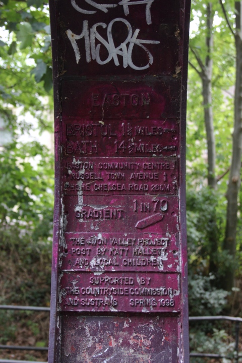
Easton Marker.
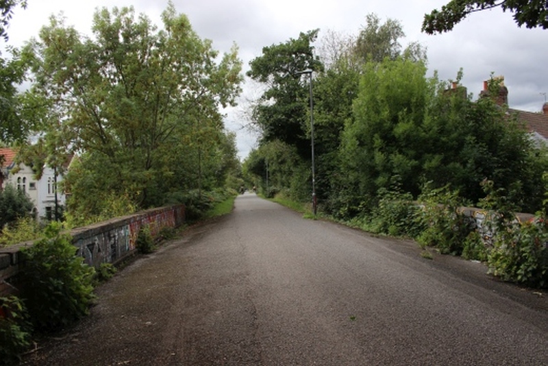
Kilburn Street over bridge.
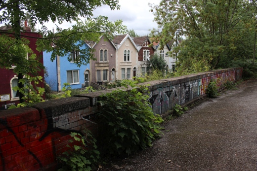
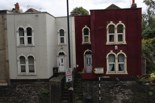
The houses are on Whitehall Road.
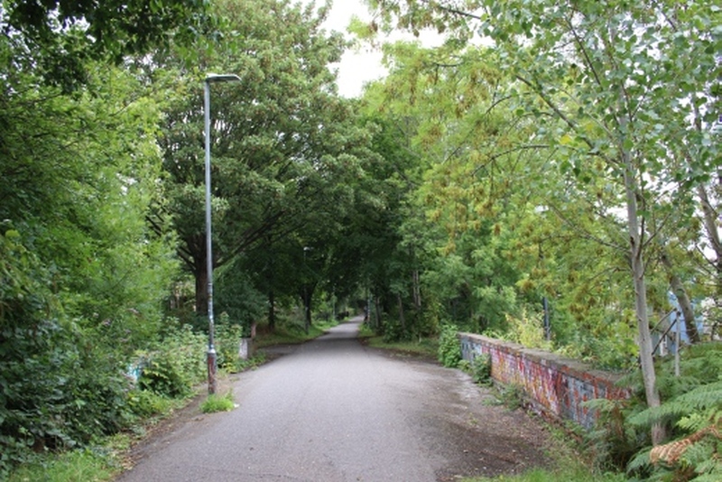
On the over bridge, looking northwards.
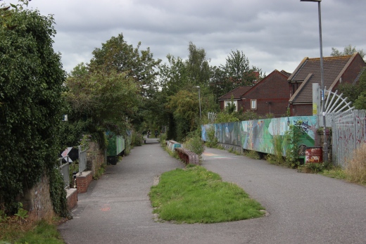
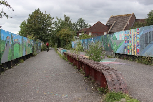

Lawrence Hill. The bridge crosses the Ex GWR line below by Lawrence Hill
Station.
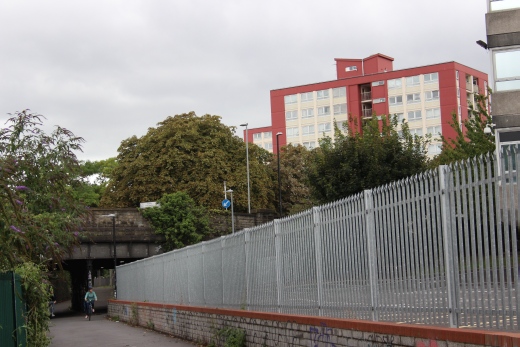
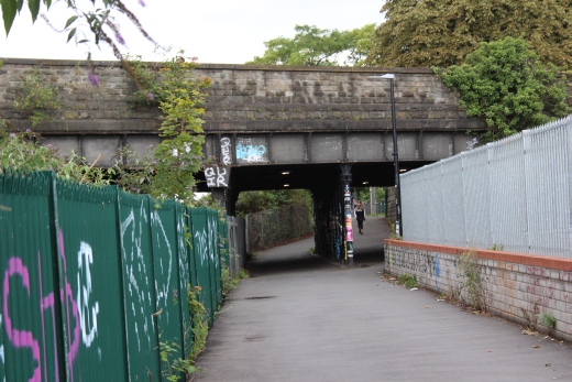
Left: Here you leave the track bed for a short
distance.
Right: There are still rails on the track bed behind the fence on the
left.
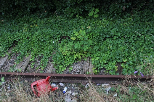
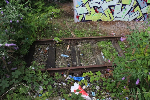
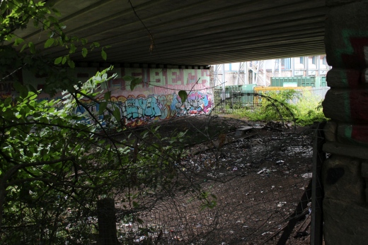
I will long remember getting close to the track bed here. It has been long
used as a Human toilet. The track was used by the Avon Council refuse
trains.
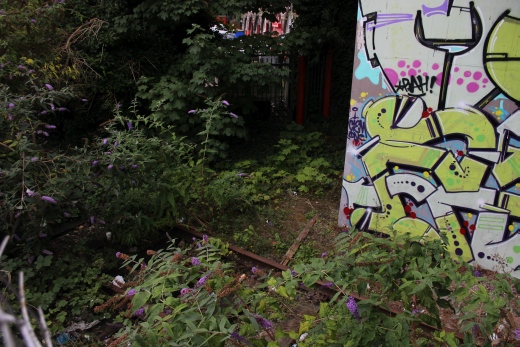
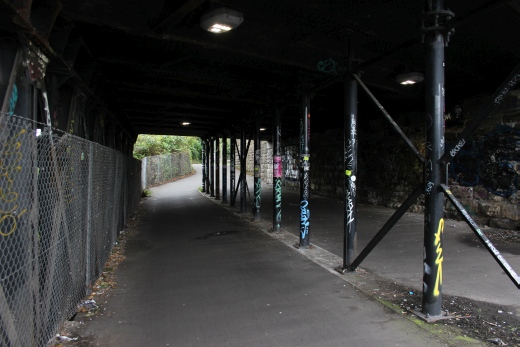
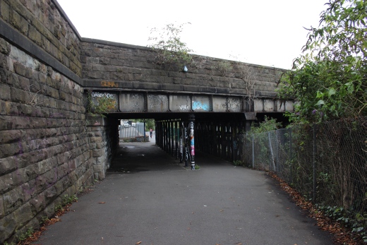
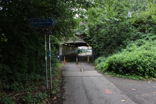
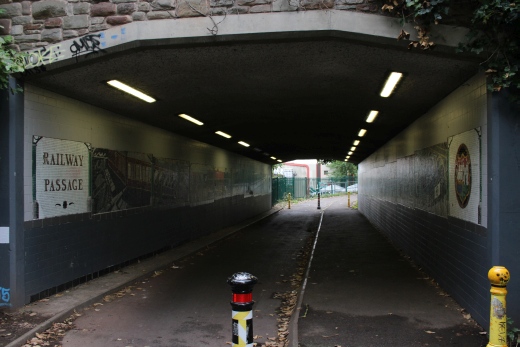
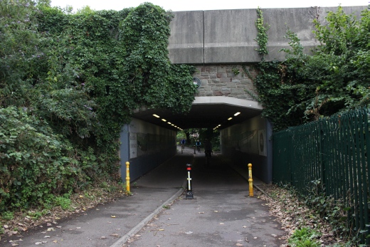
The path leads onto the park where you walk to the gate onto ---- ----
then down to Barrow Road where you can get back onto the final sction of
the track bed to the
Avon dock side.
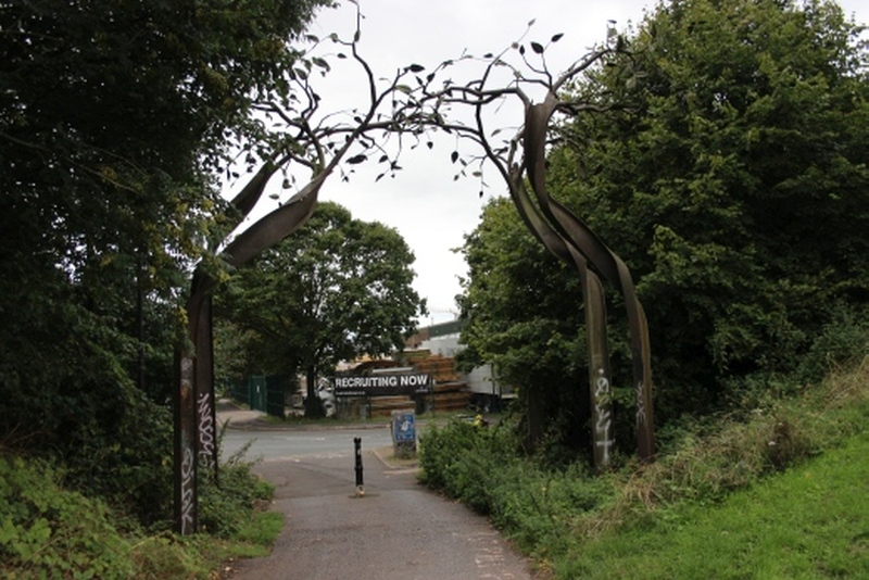
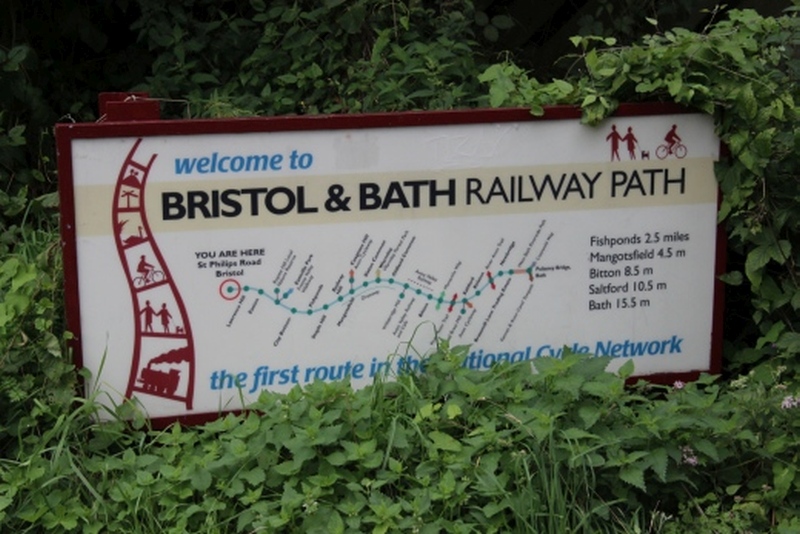
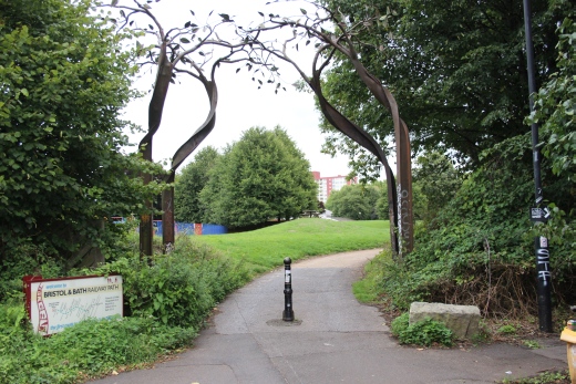
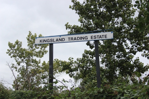
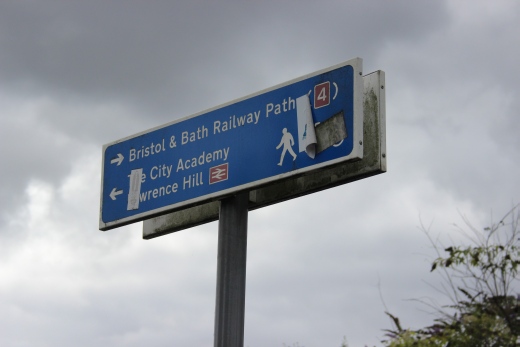
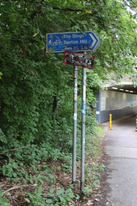
While there is a sign it really isn't quite clear as to where it is
pointing too. You have to walk down St Philips Road a short distance
to get your bearings and back onto
the final part of the track bed by Kingsland Road.
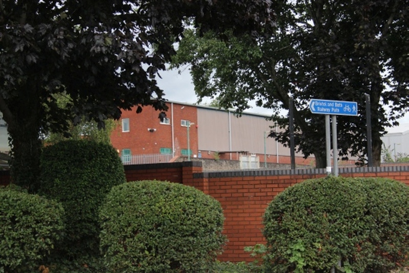
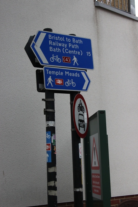
The confusing sign post.
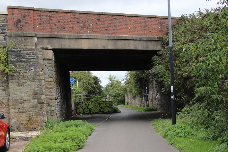
Back on the Midland track bed by the Kingsland Road over bridge. Looking
northwards towards Mangotsfield.
It is impossible to get
to the site of the original Midland terminal at Bristol. The remainder
of the walk was towards the Avon Docks terminal and to
Bristol Temple Meads station.
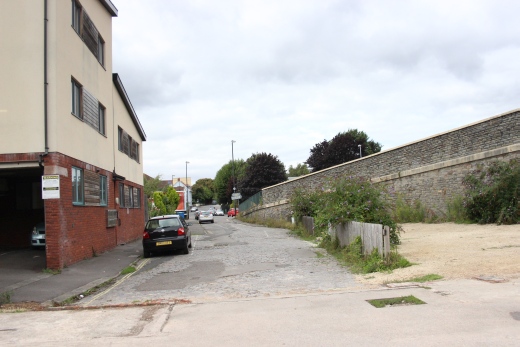
From Union Road the track bed, back to where you come in
from Kingsland Road.
Where the track bed meets Bardon Road and continues to the Ex dock side
down the new Chimney Steps down to Anvil Street.
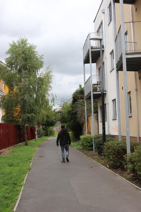
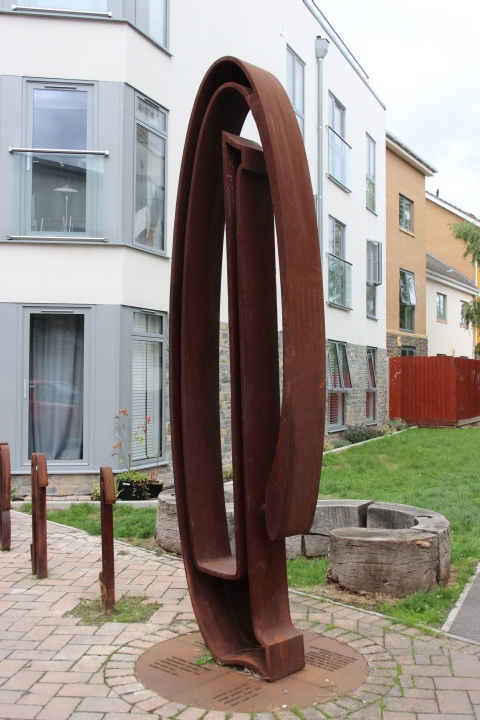
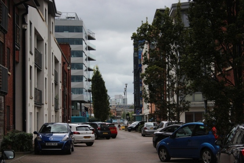
Looking down Chimney Steps towards the dockside.
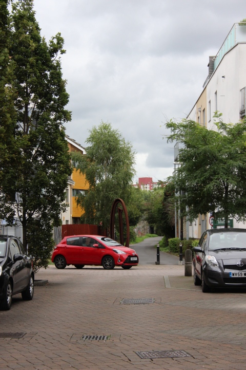
Looking back along Chimney Steps.
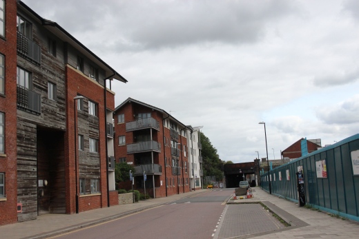
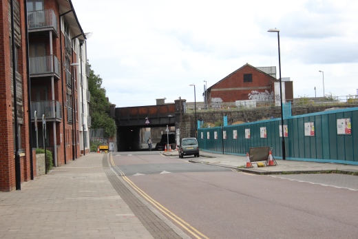
Looking down Anvil STreet towards Gas Lane and the under bridge with the
mainline from Temple meads.
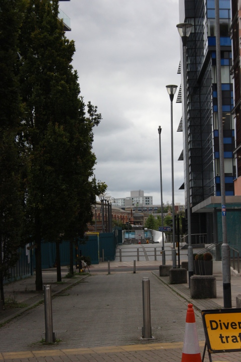
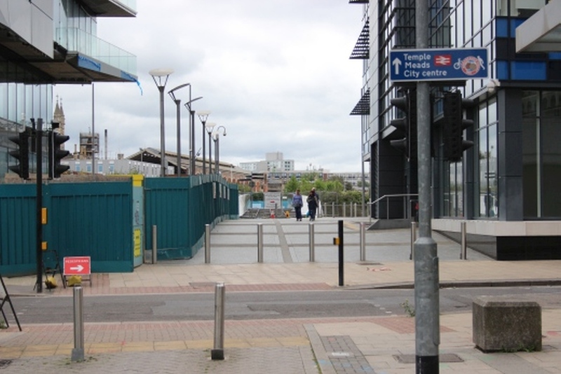
Across Anvil Street towards the new footbridge that will take you up to
Temple Meads station. There wasn't a bridge across
here originally but one as built a few years back. It is being replaced by
a new footbridge and is close to completion at this time..
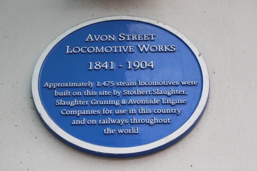
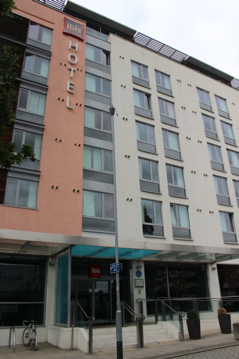
Site of Avon Street Locomotive Works. Now the Ibis hotel.
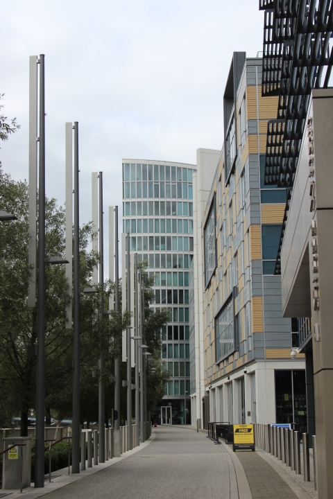
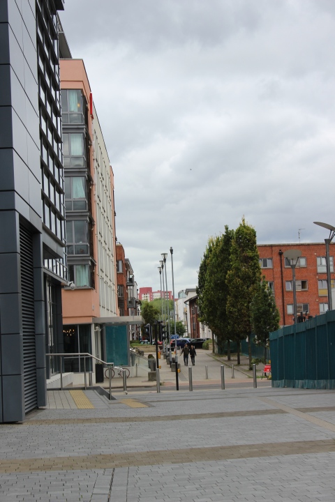
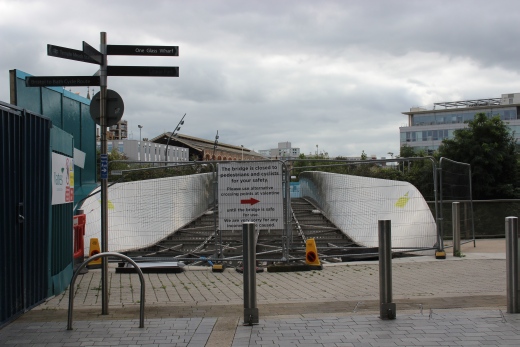

The old railway bridge has been demolished and a new foot bridge is taking
it's place. Where the track bed crossed the river and entred Bristol
Midland station
up ahead. Bristol Temple Meads station is seen to the right. Both stations
were side by side
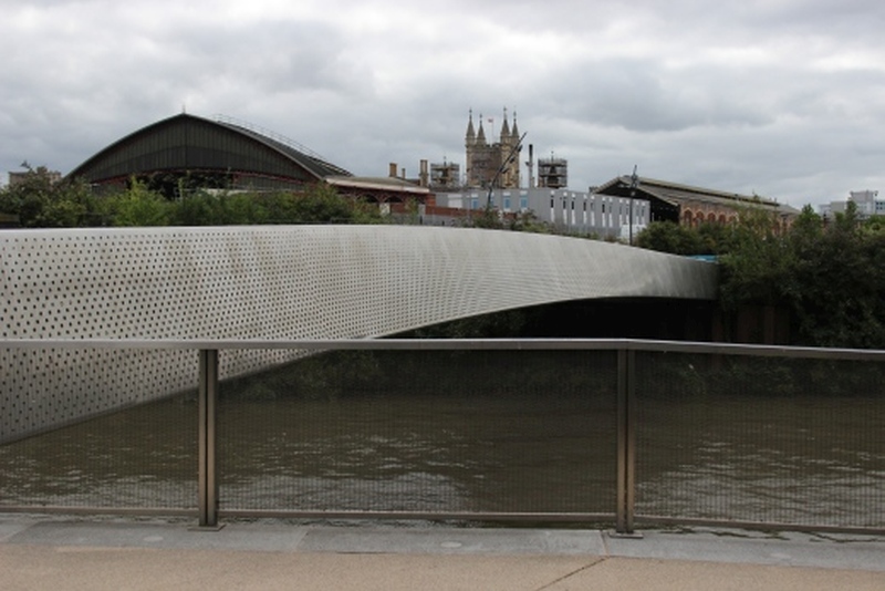
It would have but a short walk to the station but I had to walk down Anvil
street and around the
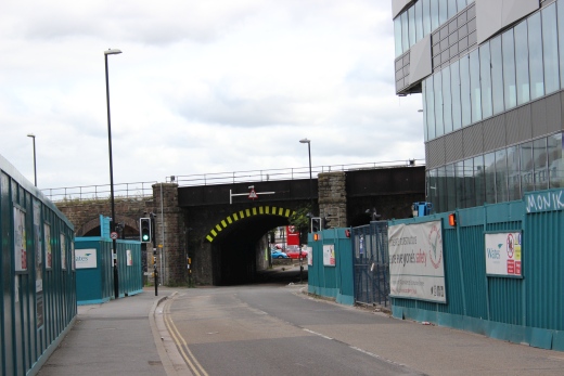
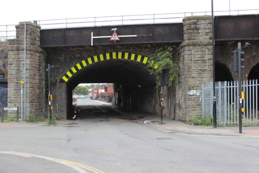
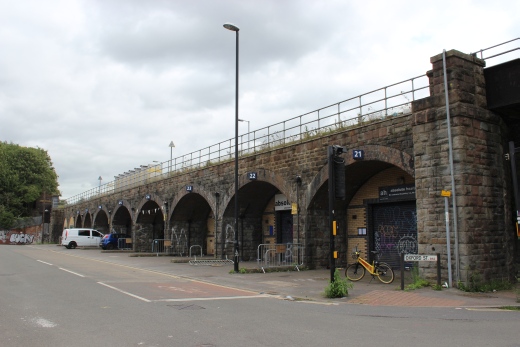
It was a longish walk around to the entrance of Temple Meads station. AS I
wasn't able to get to the old Midland station site, due to requiring
a reasonable rest and
some refreshments with just enough time to catch a train back home I will
have to visit the Midland site another time. I conclude this section with
photos from
walking around to Temple Meads.
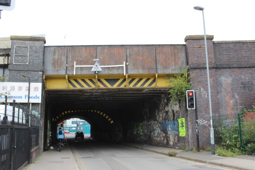
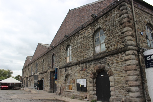
Right: Remains of a series of warehouse that stood along Avon street.
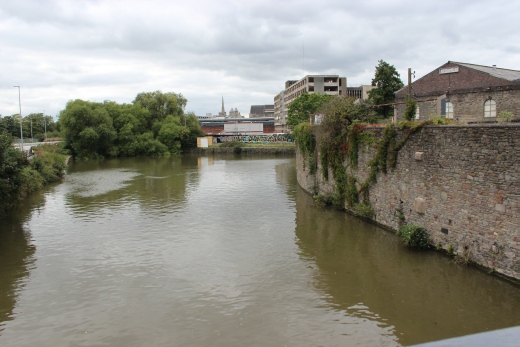
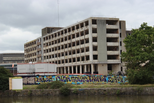
Left: A bend on the River
Avon.
Right: Ex P.O. parcel center that is being rebuilt for student
accommodation.
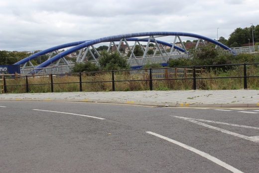
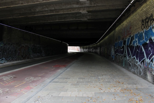
Left: The bridge on Cattle Market
Road.
Right:, A tunnel formed by Cattle Market Road running below the main lines
and Temple Meads station.
-----------------------------------------------------------------
I concluded my walk at Temple Meads station but not before finding a nice pub for some refreshments.
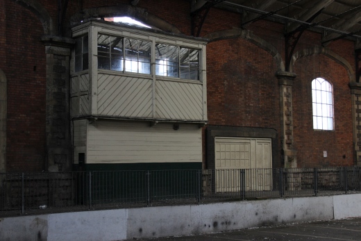
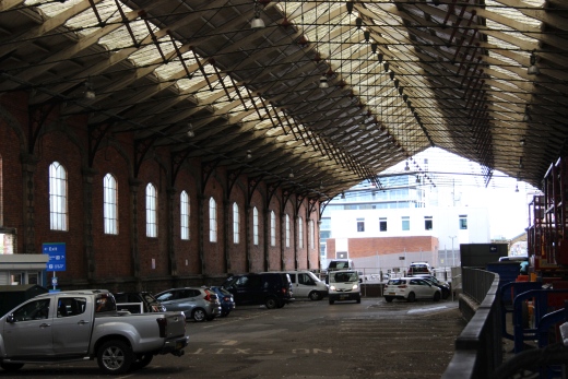
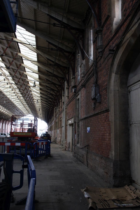
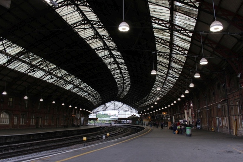
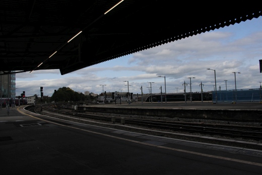
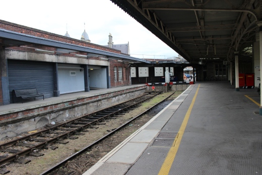
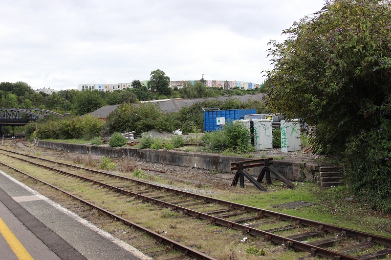
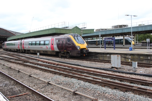
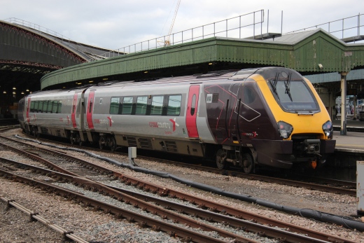
Where 'Lion' arrived at the end of the film The Titfield Thunderbolt.
======================================================================================
Other railway walks:
The Dundee & Newtyle Rlwy Walks Opened in 1831 the route had three incline planes. The first was from the terminal station on Ward Street,
up the Dundee Law, where there was also a tunnel. The second was the Balbeuchley incline at Rosemill and the third at Hatton that ran down to
Newtyle station. It was also the very first passenger train service in Scotland. Worked by Horse over the levels until the first steam engine was
purchased in 1833. Came under the Caladonian Railway with it's terminal moved to Dundee West station. Passengers service ended in 1952 and
the line totally closed in the mid 60's. The inclines were by-passed in the 1860's.The Cromford & High Peak Incline railway in Derbyshire has been luckier in having much of it's buildings, including an Engine House preserved. This
is what could have happened with the D&N, indeed, should have happened with at least one of the D&N inclines. However, the C&HPR gives an excellent
comparison of what the D&N would have looked like, albeit the inclines were only single track.Boddam To Ellon Branch (Walks) By Bill Reid. Ex GNSR branch line
Dyce To Fraserburgh and Peterhead Walks. Ex GNSR
Bath To Wellow Rlwy Walks Ex Somerset & Dorset Rlwy.
Chippenham To Caln Walk. Ex GWR branch line.
Contact: reidcrcwdr@talktalk.net
Hosted by www.theatreorgans.com