Charwelton on the main road where I arrived by bus from Banbury.
CHARWELTON & CATESBY TUNNEL VISIT
(13th September 2018)
(Update 27th Sept. 2018)
Upadate 4th October 2018)
52 years to the month since the closure of the Great Central Railway London Extension from Annersley Junction to the north
of Nottingham to Aylesbury and on the GCR & GWR from Grendon Underwood junction to Ashendon junction. . The route closed
on the 3rd Sept. 1966. It remained open to passengers from Rugby Central to Nottingham Arkwright Street Stn. into the 80s.
My plan for this visit was to check out the old station site and around Catesby Tunnel and, if possible walk the track bed southwards
into Woodford Halse to check out more railway sites there. I had caught the No. 200 bus from Banbury to Charwelton.
Until recently the station site was fully over grown by the main road but today it has been re-opened as the entrance to the work
site of The Catesby Aero Research Facility and the tunnel used for a vehicle Testing Facility. It is a five year building project.
However they are determined to save as much railway relics as possible and the tunnel will be fully refurbished, protecting it for
the future.
The folk at the Aero site also want to keep everyone informed of what is taking place and enquiries are welcome. They hope to
hold visiting days where groups of people can be shown around the site and answer any enquiries or worries they may have.
You can check their web site out at: https://www.totalsimulation.co.uk/computational-fluid-dynamics/catesby-tunnel/
The site between the station and the tunnel is completely fenced off, from the entrance and all around the prameter of the
Tunnel site. There is a footpath that will take you up the western side of the site as far asthe tunnel and beyond. However
you can't get close to the tunnel but have reasonably clear views every now and again. You have to return the way you
came, albeit there may be a path around the eastern side that I am not aware of. However, as the footpath crosses the
Preston Capes road that is closed at this moment, I walked down to the main road junction from there.
Charwelton on the main road where I arrived by bus from Banbury.
The footpath entrance which is part of the Jurasic Way entrance is just a short walk towards the station site but about 120 or so yards
before you reach there. It begins with a steepish climb and a little way before you get close to the railway cutting. The same footpath
also goes south wards on the opposite side of the road down toChurch Charwelton.
You come to a gate, which is by the side of the The gated way that takes you across the road Priors Marston- Preston Capes
road just north of the railway over bridge.
You then cross the field towards the railway cutting seen running from left
to right.
You then cross a small stream, which is the source of the River Cherwell as it comes from Hellidon. The bridge is made fom old
sleepers. The names Charwelton and the Cherwell are linked.
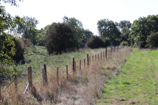
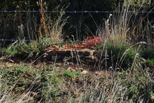
Left: Walking up the west side of the railway cutting. Looking south. The cutting is fenced off from the public. Right: Spotted on top of the cutting. Some sort of brick structure.
.jpg)
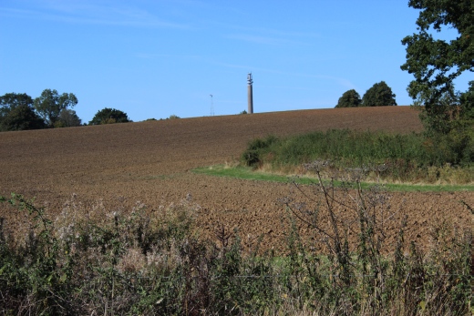
Left: The BT tower near Hellidon is a land mark in the area. It's seen from the train between Banbury and Leamington.
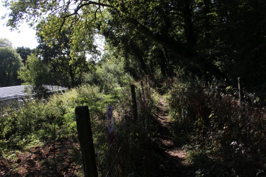
Right: The steady climb of the footpath continues alongside the cutting towards the tunnel.
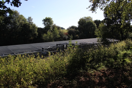
First sighting of the work taking place within the cutting.
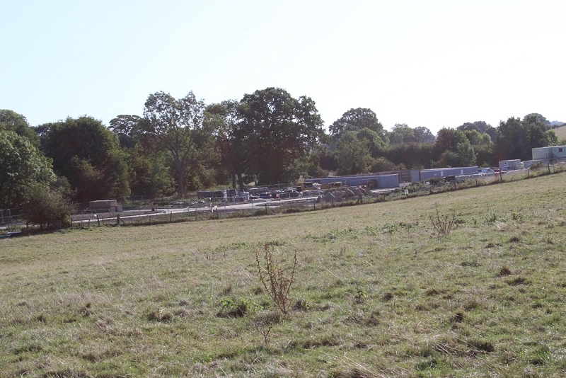
The work taking place on the station site.. From the footpath.
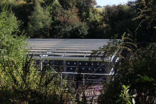
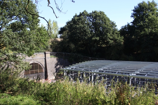
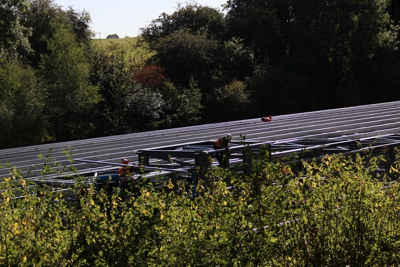
Workmen on the roof of the new building.
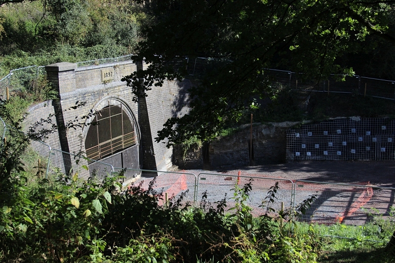
Catesby Tunnel. South portal. It's a shame it isn't being prepared for reopening as a mainline. However, it is being refurbished
and made safe for the future. Work is taking place both outside and within the interior. I believe there is already some track
in the tunnel.
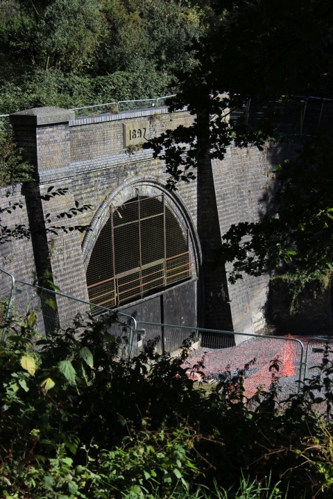
One hundred and twenty one years old and still looking good.
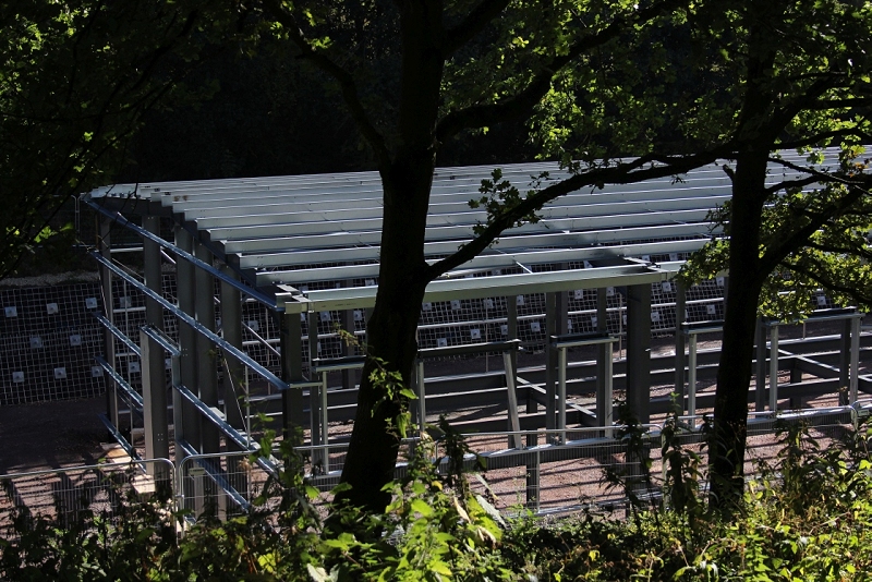
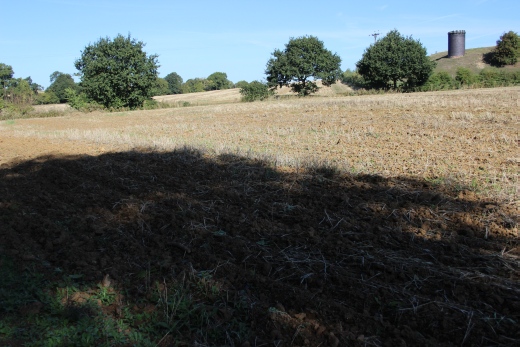
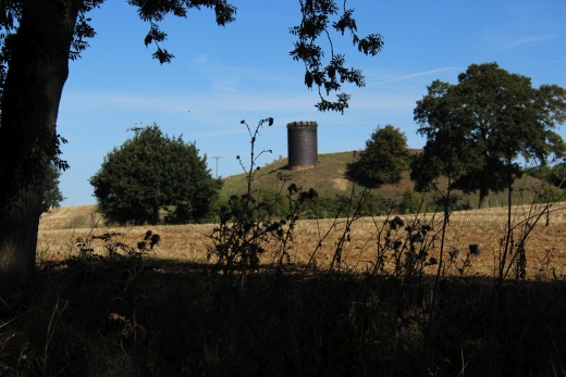
The first air shaft, from the southern portal of the tunnel.
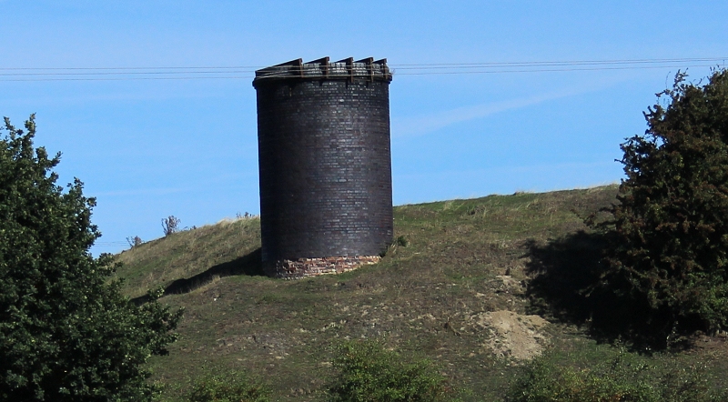
A cropped image showing a closer view of the air shaft. There were three altogether and they were extremely well-built and
designed. I don't know if you can get up to the vent but the path continues alongside to near the site of the north portal.
I then returned back down the footpath to the presently closed over bridge at the north end of the station site.
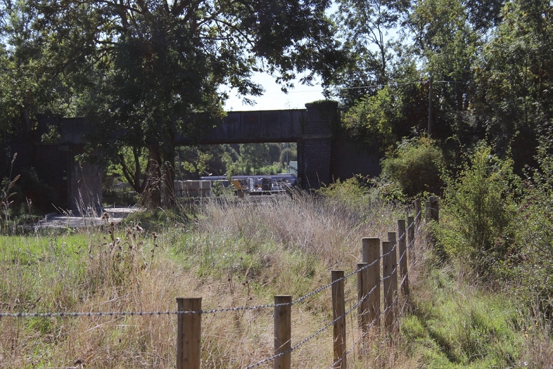
The track bed from the footpath. The over bridge No. 489 just prior to getting back up onto the Priors Marston road.
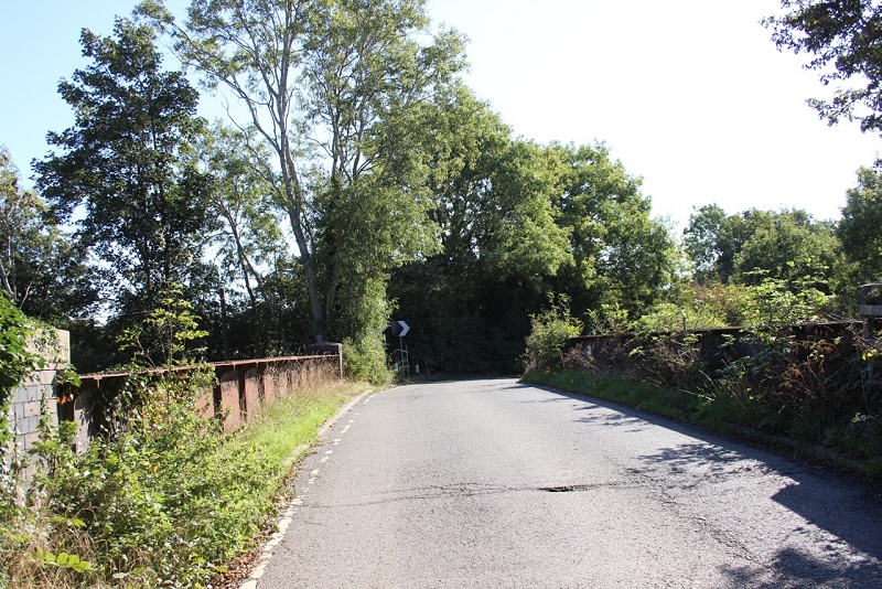
Priors Marston- Preston Capes road.Bridge No. 489 at the north end of Charwelton Station. Temporarily closed to traffic due to
serious water proofing and metal corrosion damage.
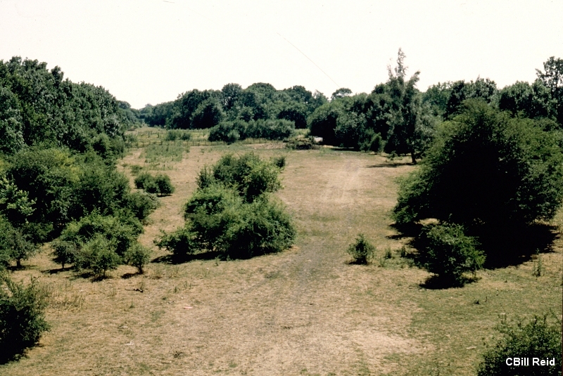
A view northwards from the station over bridge of the station site, towards over bridge No. 490. (1978).
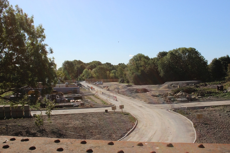
View from the over bridge at the north end of the station, looking southwards, as it is today. This was a favourite spot for
photographers.
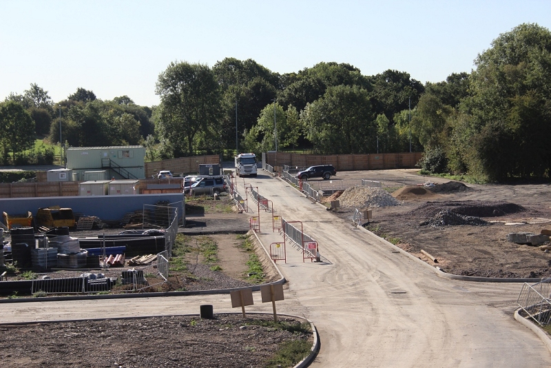
I took this photo automatically taking the road as center of the station site. However, the station was more in line with the right
hand section of the portable cabins on the left. You can see the gap of the track bed running south just behind. The new
entrance actaully going through the Goods yard.
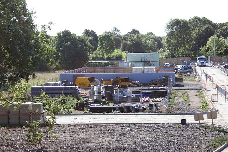
This photo represents the actual center line of the station platform and buildings. You can see the track bed gap behind the
portable cabin. The signal box was on the far left by the plile of stone slabs in thew foreground.
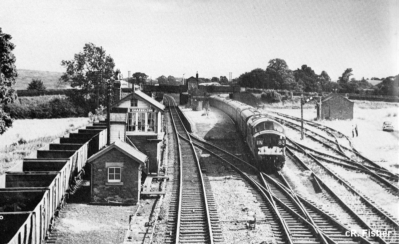
Closer to the photo above. A typical view from the over bridge in the early 60's. Diesels were unusual traction on the GCR. The
Goods Yard looks unused but there are still wagons on the down loop for the Iron Ore mine branch, which is the line
running across in front of the 37 and turning off to the right onto the branch. (Ron Fisher).

This photo shows you the station from the west side, looking southwards, through the station over bridge and a clear
way up to the over bridge, which was as far as I got on my recent walk. (Author Unknown). This photo can be
purchased on the internet without the water mark. Most stations on the london Extension had the same island
platform layout.
From almost the same spot in 1978. Still a clear way. You can see the farm over bridge in the back ground, which is as far as you
get today.
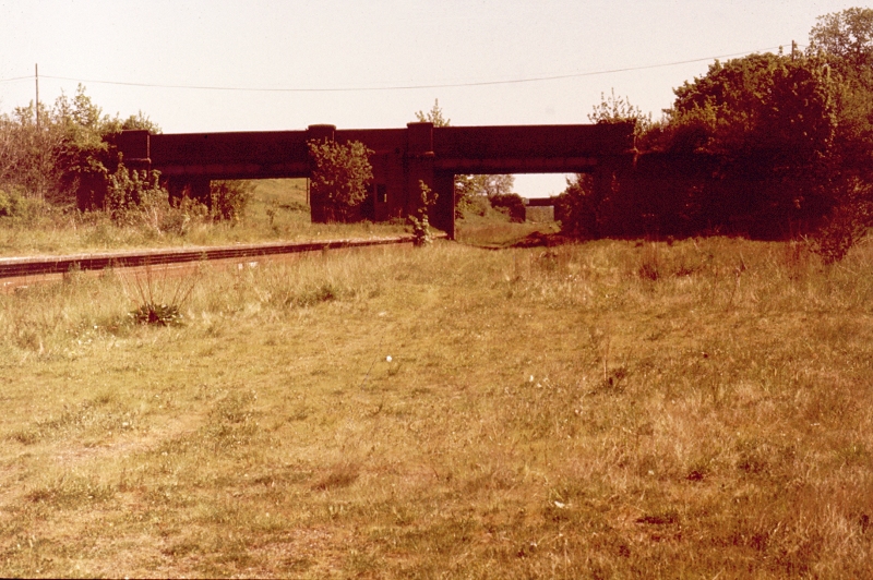
The station layout from the over bridge at the north end of the station. (1978).
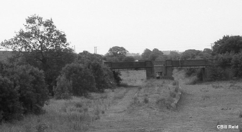
Cropped from the photo above. Both photos from home processed transparency film that had a developing fault and comes off
better (just) as a black & white image. (1978).
--------------------------------------------------------------------------------------------------------------
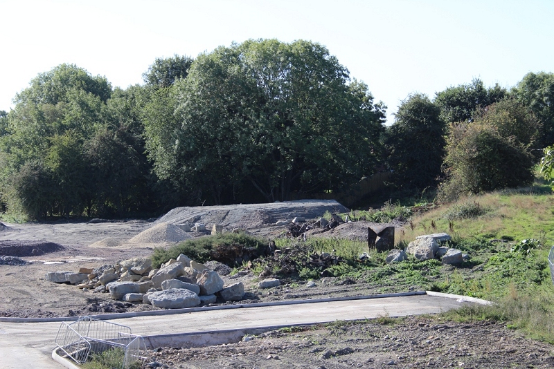
Right hand side of the station site. The Goods Shed stood by the new side road.
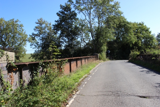
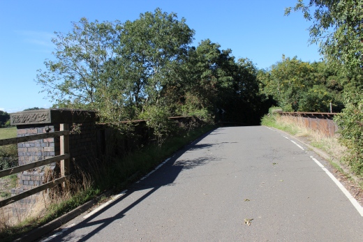
Bridge No. 489 on the Priors Marston- Priors Preston road. West end of the bridge.
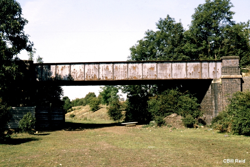
Cropped from the photo below. Catesby Tunnel and Vent, from the over bridge.
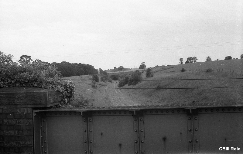
A view northwards to Catesby Tunnel (1978). From a home processed transparency film which had poor processing and works
out better as a B&W print.
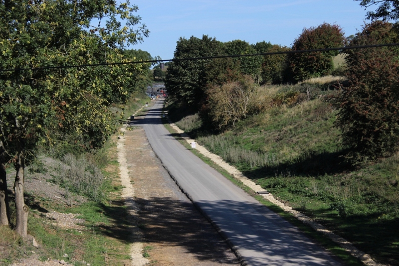
From virtually the same spot as in the photo above.
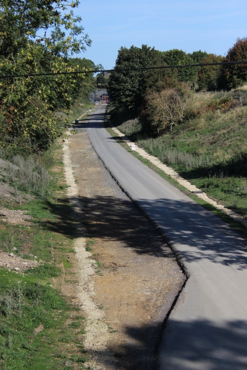
There were three tracks here! The two main running lines and the lead out of
the Goods yard on the left . It lead back onto the main line but the Goods line
continued as a long head shunts topping short of the tunnel. There was a
gangers hut between the buffer stops and the tunnel. The stump of the Up
signal would be seen just up by the trees on the right.
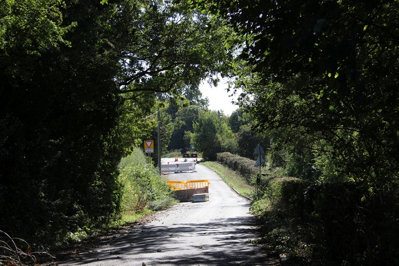
Instead of walking back the footpath where I started I simply took the way down the closed Priors Marston- Preston Capes road
back onto theByfield - Daventry Road.
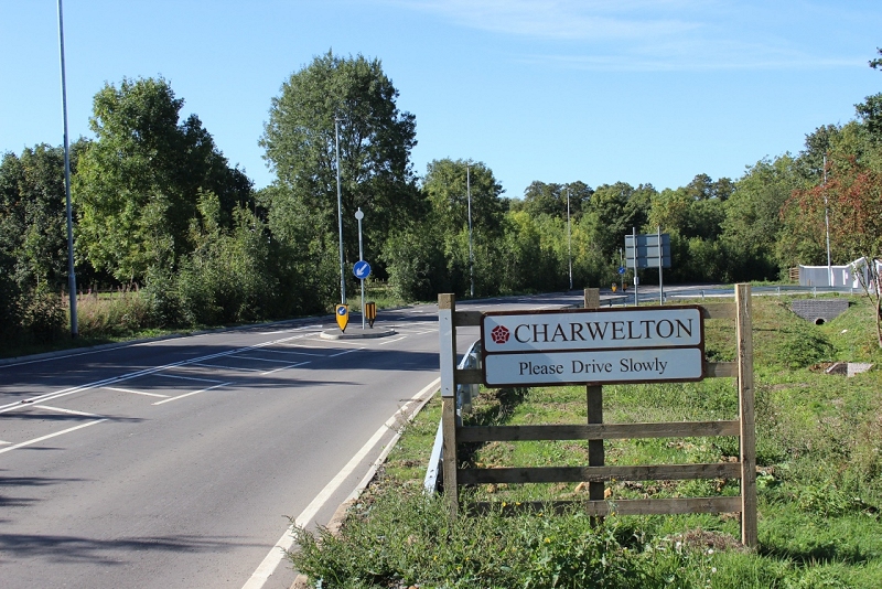
From the main road, towards Charweleton village. The railway ran below the old road bridge, which stood to the far left just out
of sight The new road was built across the south end of the station platform and buildings.
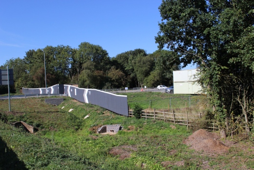
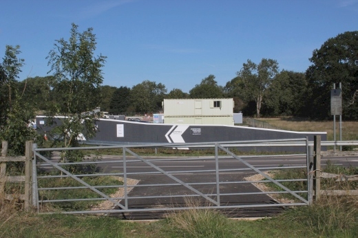
Left: As a marker as to where the actual center point of the platform stood was at the nearest arrow on the temporary wooden fence. Right: Taken from the track bed
on the south side of the new road the arrow marks the central point of the platform. The gate, which is on the south side of the new road is actually where the original
bridge and station entrance stood. The gate is now where the station entrance at the center of the bridge is in the photo below.
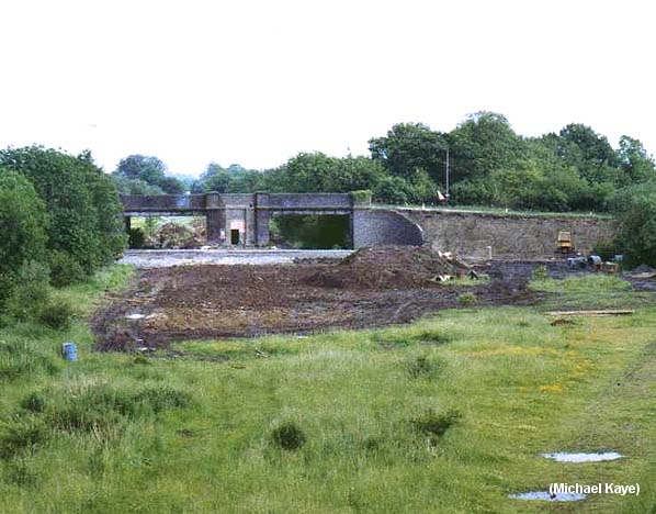
The station in 1985 by Michael Kaye. It shows the new road being built on the level, cutting across
the station platform and buildings. The stairway down to the platform was from the center of
the bridge. You can see where it had been bricked up since closue of the station. This site is now
pretty much where the track bed is gated on the south side of the Byfield Road.
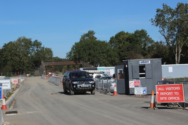
From the present entrance to the work site. I didn't realise that the car was going to take me around the site at that moment.
I was disappointed that I coldn't get onto the station site and up to the over bridge but it was perfectly understandable with all the work
that was going on. However, as it sometimes works out, after a disappointment things can take a turn for the better and makes up for
it! I took a few more photos at the site of the old station and the new entrance to the work site. One of the workers, Shane O'Conner
called to me and asked I was the chap putting false information about the work on the internet but I wasn't. However we got chatting
and as it turned out he had also been a railwayman in the past and we got chatting about Charwalton station and the Tunnel. He
asked if I could answer a few questions, which I was happy try and do. One concern that I put was about the remains of the Up signal
post, which I was expecting to have been dug up, but thankfully turned out not to be so. Likewise Shane kindly offered to take me
around the work site and check a couple of things out. I couldn't believe my luck when allowed into the site.
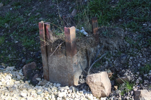
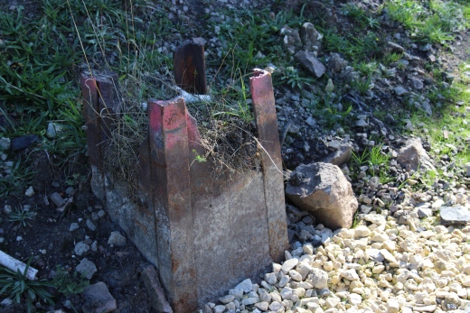
I felt sure that the stump of the Up signal would have been removed as being a bit dangerous but I was pleased to learn that they intend leaving and protecting as Many
old artifacts as possible to preserve the fact that it was once a railway. You can see the electrical wiring is still attached.
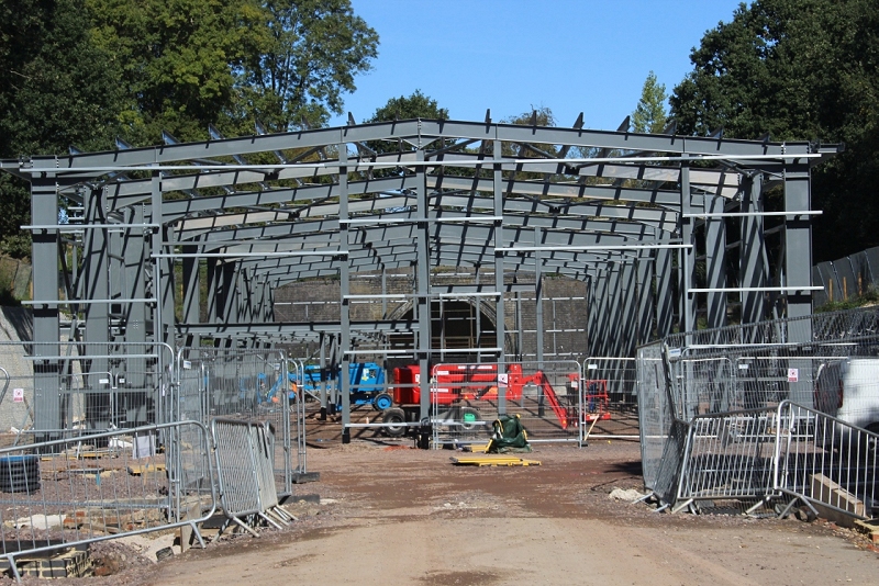
The new F1 testing building taking form, with the southern portal of the tunnel behind.
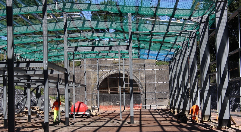
New photo taken on the 27th Sept 2018. The tunnel portal shows itself before it will soon be hidden from view by the building.
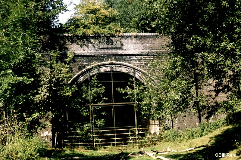
Catesby Tunnel (1980's).
More photos of the tunnel site from 1978.
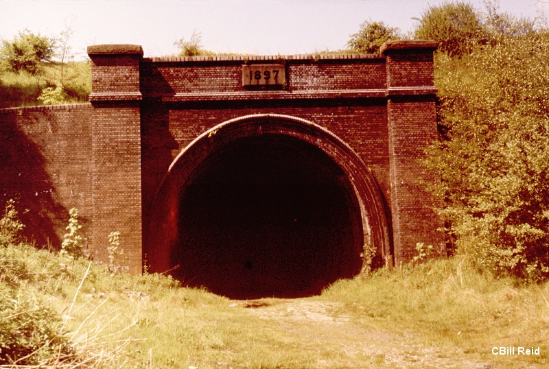
The tunnel, still a clear way at the time with overgrowth just starting to show.
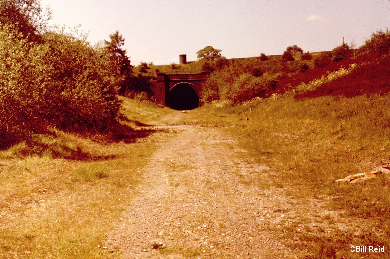
On the Left you can still see the mound, on the left, where the head shunt from the goods line stopped at the buffer stop. There was a ganger's hut just
to the left of the tunnel mouth.The Down Goods line joined the Down Mainline just by the bushes.
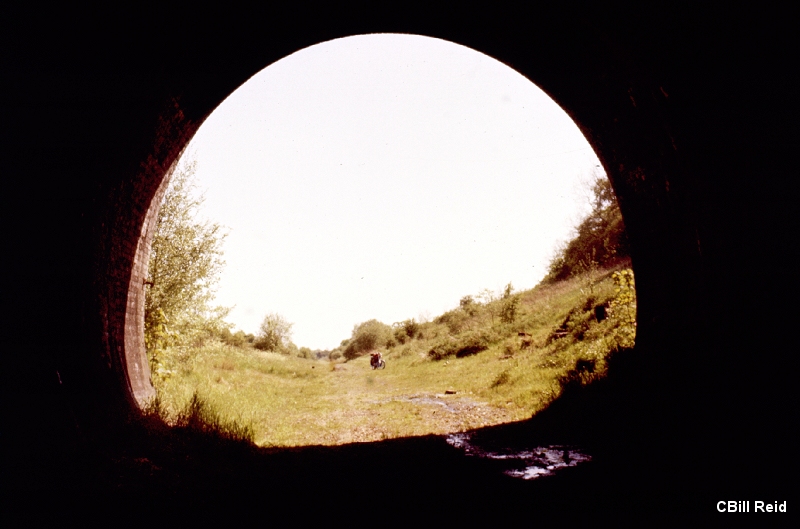
From just within the southern portal, looking southwards towards Charwelton station site. My Suzuki 125cc motorbike in view.
Interesting that you could motorbike up the track bed from Woodford at that time. This was not the bike I rode through the
tunnel with. That was a Suzuki 125cc
----------------------------------------------------------------------------------------------------------------
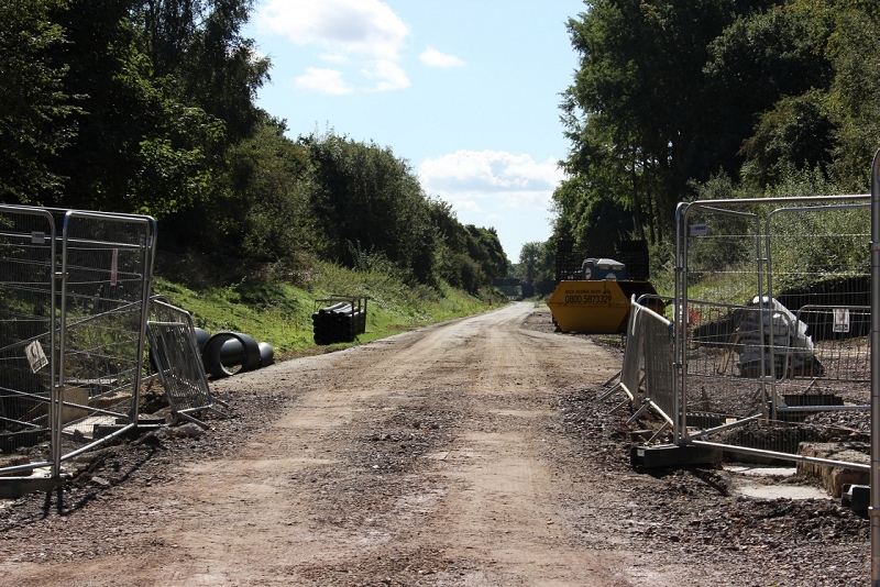
A quick snap from the side window of the car. Looking southwards towards the station site.
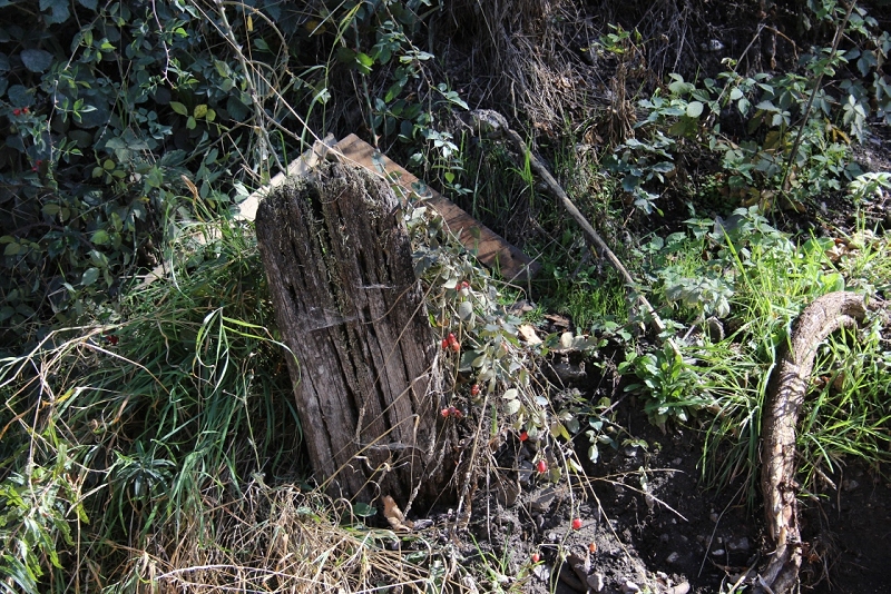
This was another thing that Shane wanted to know about. I recall seeing other like this from time to time and wondered if it had
something to do with the signalling wires or angle joints but again may have had a metal or wooden pole attached for some sort
of line-side notice. However, I am sure there is someone out there who can tell us for sure.
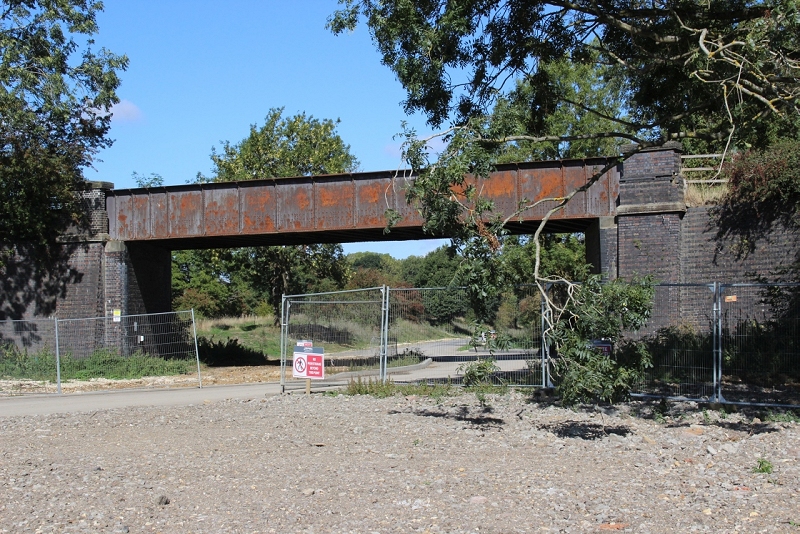
The over bridge No. 490 at the north end of the station site. The bridge is closed to traffic at the moment due to being in an unsafe
condition. You can see the damage to the underside of the bridge. The abutmernts too are also in poor condition. However, it is
to be fully repaired and opened again in due course.
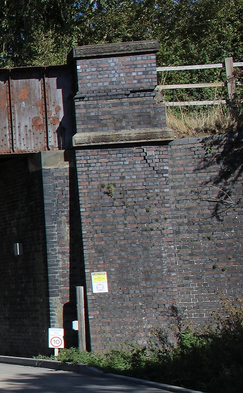
A cropped section, shows the cracked brick work. With that and the water
damage on the underside of the bridge it has become dangerous and is the
reason for it's closure.

As bridge No. 489 looked in 1978. When you could walk quite freely up to the tunnel. Took my motorbike up there a few times and
also motorbiked from Woodford Halse, through the tunnel as far as Braunstone & Willoughby around 1967/8. It was the time when
the M.O.D. attempted to blow up Woodford Loco shed.
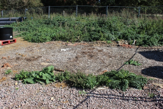

The remains of Charwelton Signal box. Also to be preserved as it is.
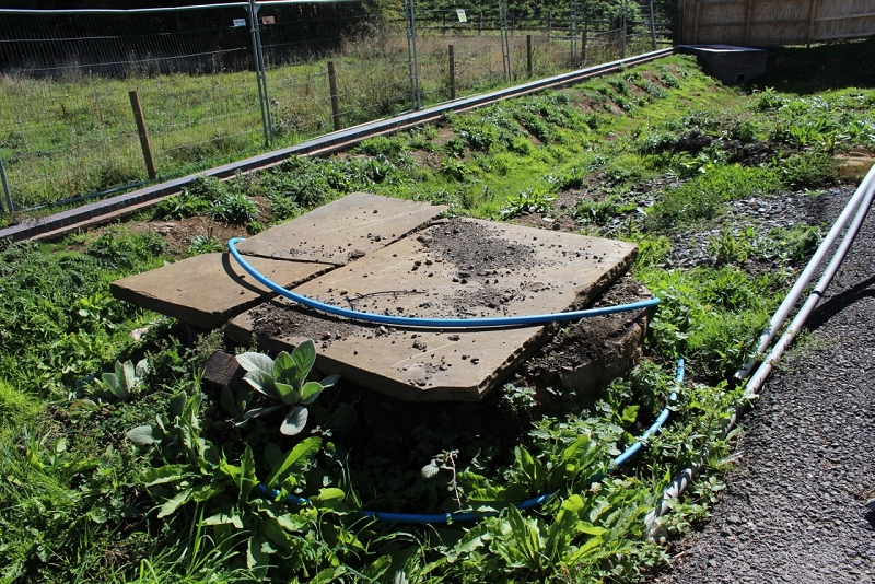
Another quiry from Shane as to what this was. It certainly looks like a Well and may have been the main
water source for the station, signal box, goods yard and possible water supply to locomotives.
With special thanks to Shane O'Conner for his kindness in showing me around the work site and explaining some of the work
that is going on.
UPDATE 27th September 2018
From a second visit to the Charwelton station site. With more thanks to Shane O'Conner for showing me around more of the work site.
I hadn't realized that there was so much of the old Goods siding to be seen. Especially the loading bay and platform. It is well hidden in
the overgrowth on the west side of the site. It was nice to learn that this is going to feature in the new F1 testing site and along with
other artifact will be cleaned up and open to the public on special days or invitations.
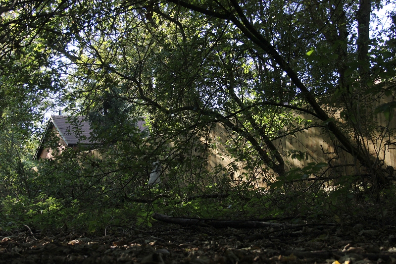
The loading bay platform with the present day extension ofthe old Station House behind the fence.
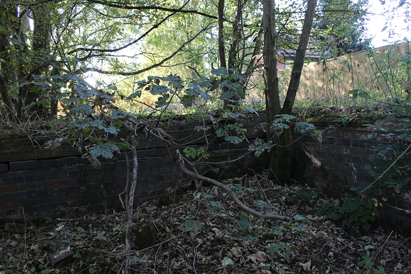
The loading bay end of the platform.
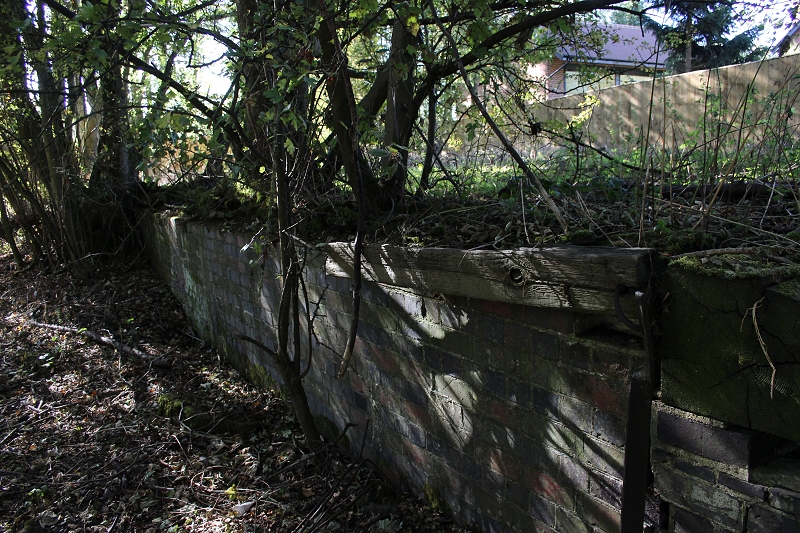
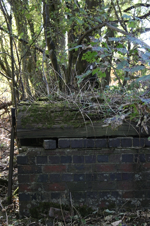
The loading bay buffer stop end. There are no buffer stops.
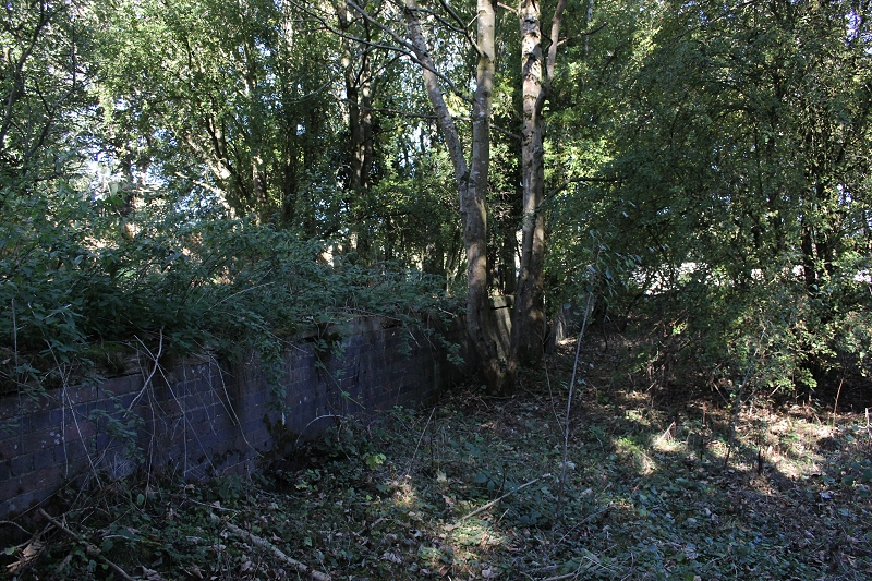
The loading bay edge running down the western edge of the station site. The outlet from the Goods sidings ran onto the
Down Goods line that extended to just short of Catesby tunnel, where it turned out onto the Down Main.
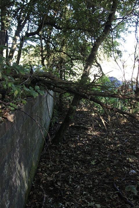
There is a fair bit of clearing work to be carried out before this is fit for
public display.
There was also a cattle pen and you can see where there had been water fixtures for a water trough.
However it was too dark and overgrown for a get a suitable photo.
CHARWELTON BRICK WORKS BRANCH
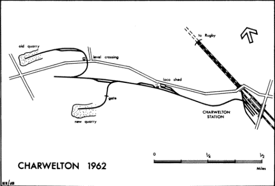
The brick works deserve a mantion as they kept the station site in operation with numerous trains per day being shunted
and formed into trains. The branch left the mainline at the south end of the station, turning northwards following the
Priors Preston Road for around half a mile or so. They had their own steam locomotives and a locomotive shed to
service them. It kept railway staff in work as well as keeping the signalbox busy. Once the brick works closed
Charwelton was finished as a railway site and, of course another nail in the coffinfor the GCR London Extension..
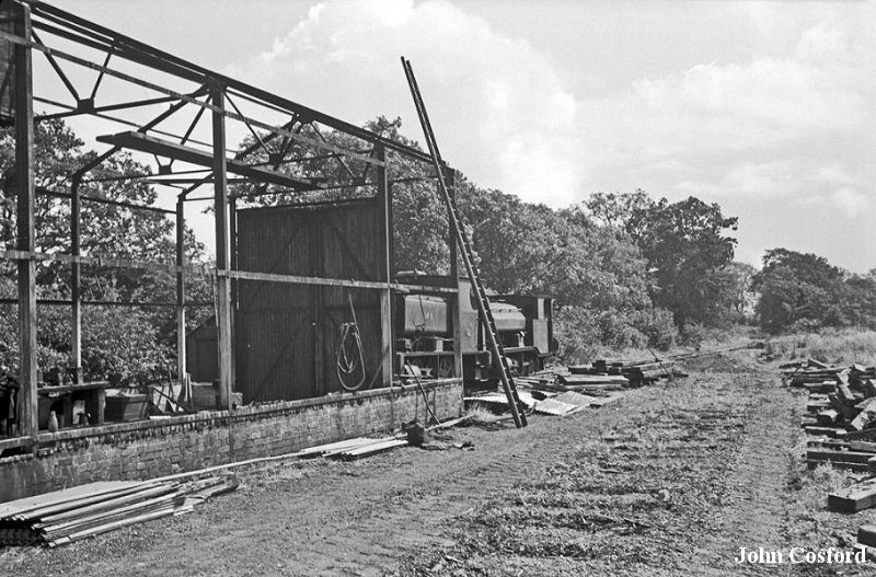
The loco shed was about half way along the branch, while the terminal at the quarry was as far north again. (John Cosford).
=========================================================================
Drone view of Cateby Tunnel Vents
Video View of Charwelton Project
Skyline Photography By Neil on YouTube
==========================================================================
CHARWELTON TOWARDS WOODFORD HALSE
Other railway walks:
The Dundee & Newtyle Rlwy Walks Opened in 1831 the route had three incline planes. The first was from the terminal station on Ward Street,
up the Dundee Law, where there was also a tunnel. The second was the Balbeuchley incline at Rosemill and the third at Hatton that ran down to
Newtyle station. It was also the very firstpassenger train service in Scotland. Worked by Horse over the levels until the first steam engine was
purchased in 1833. Came under the Caladonian Railway with it's terminal moved to Dundee West station. Passengers service ended in 1952 and
the line totally closed in the mid 60's. The inclines were by-passed in the 1860's.The Cromford & High Peak Incline railway in Derbyshire has been luckier in having much of it's buildings, including an Engine House preserved.
This is what could have happened with the D&N, indeed, should have happened with at least one of the D&N inclines. However, the C&H gives an
excellent comparisonof what the D&N would have looked like, albeit the inclines were only single track.Boddam To Ellon Branch (Walks) By Bill Reid. Ex GNSR branch line
Dyce To Fraserburgh and Peterhead Walks. Ex GNSR
Bath To Wellow Rlwy Walks Ex Somerset & Dorset Rlwy.
Contact: reidcrcwdr@talktalk.net
Hosted by www.theatreorgans.com