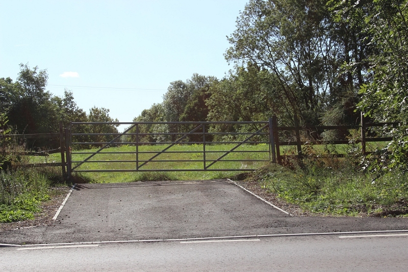
This is where the road went over the south end of Charwelton station. The station was demolished and the road widened and
levelled. You would have been standing under the station entrance brick work at this point.
CHARWELTON TOWARDS WOODFORD HALSE
(14th September 2018)
(Update 4th October 2018)
My plan was to walk the track bed southwards from Charwelton to as close as I could get to Woodford Halse.
As it turned out you can only get about quarter of a mile southwards to the first over bridge. The way is barred by fencing. As there is an animal feeder
by the bridge it looks as if this area is used by Cattle at times. I had to go the long way aroud via Church Street to get to the other side.

This is where the road went over the south end of Charwelton station. The station was demolished and the road widened and
levelled. You would have been standing under the station entrance brick work at this point.
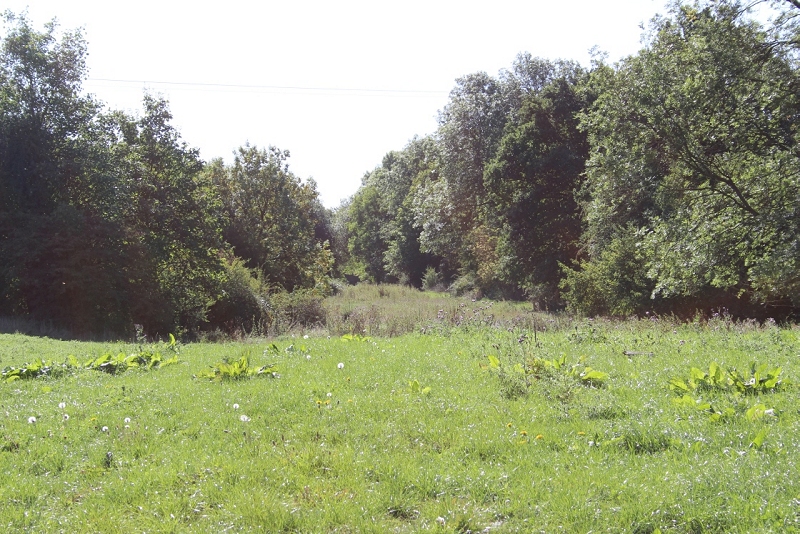
Once over the iron gate by the road side tisis the view southwards along the track bed. It does look a bit dense up ahead. You can
see the line where the under growth gets deeper and higher.

The under growth grows deeper.
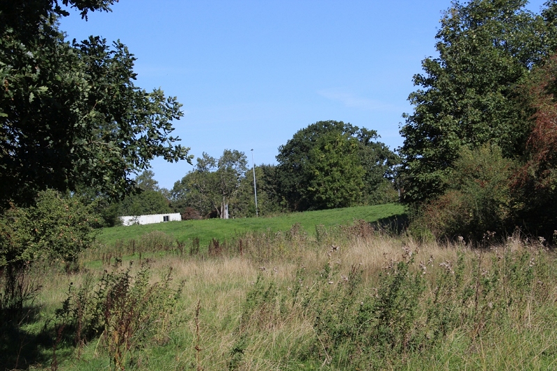
Looking back towards the station site.
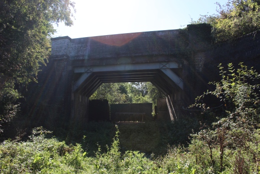
Left: The way started to look a bit dense up ahead. Right: And sure enough there was the dead-end. The bridge is completely fenced off at the south end.
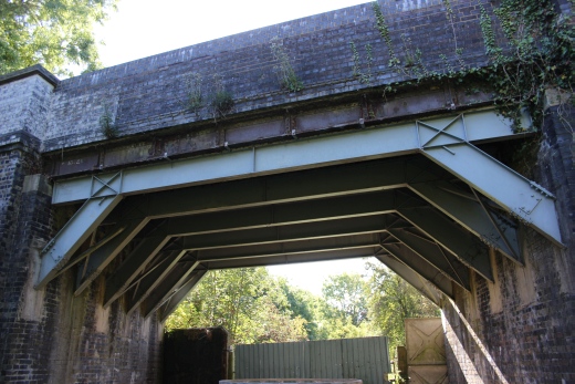
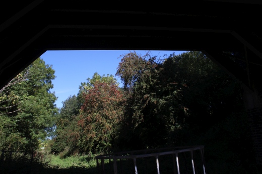
I took a couple of photos just for the record and started walking back to the main road and into the village.
The bridge is on Charwelton Church Street that ends at Church Charwelton which lies in an area that was a deserted village The church goes back to the 13th century.
However you pass over this road bridge that stopped me going directly southwards then cross a field to get back onto the track bed.
Back at the station site and considering my next move which would be taking the JurassicWay path from Charwelton south wards. Starting at Church Street.
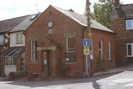
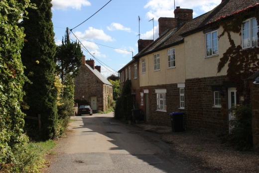
Church Street, Charwelton. A pleasant little walk.
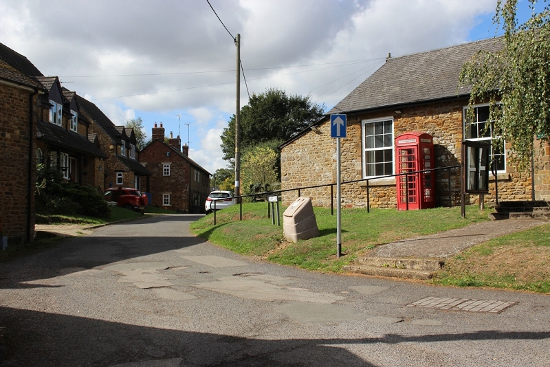
A road junction off Church Street.
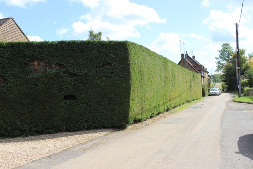
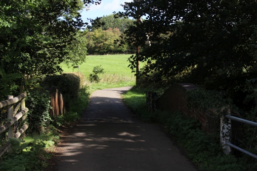
Further down Church Street, passing a considerably high and well-groomed Privit hedge then crossing a brick-lined bridge over the Cherwell stream. Up ahead you see
a ladder leaning against a house. Here I met a local doing some repair work. We had a few minutes chat in which he told me that he had been in touch with a chap in
Australia who wrote a book about the Great Central railway and kindly send him a copy and many photos of the line.
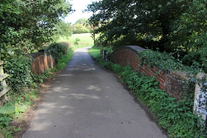
The neat little brick bridge over the Cherwell.
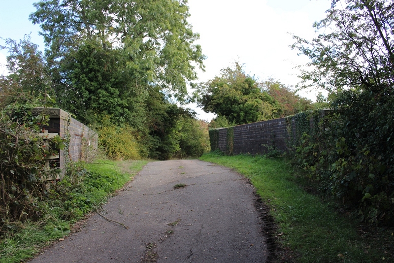
The over bridge that blocked my way southwards. The blockage is on the left side arch.
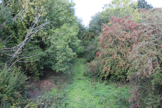
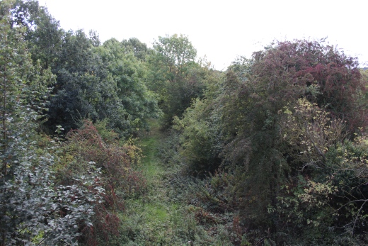
Left: North side of the bridge, where I had to turn back to Charwelton. Right, South side towards Woodford Halse. This was the north end of the water troughs.
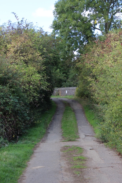
Looking back towards the over bridge.
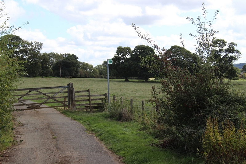
The footpath sign that took me across a field of Cows (far right) to a gate that got me back onto the track bed just south of the
over bridge. While gated the road continues on to Church Charwelton. You can also take the Jurassic Way path to the church by
following the Footpath sign across the fields in the direction it is pointing to.
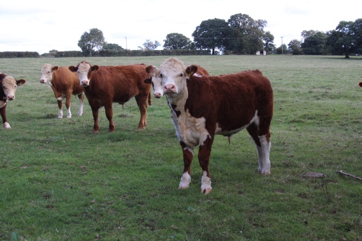
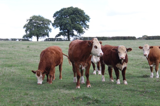
Cows are always curious creatures but thankfully they simply stood and watched me go by. There is a typical railway farm gate which you have to climb over to get onto
the track bed.

Back onto the track bed. Looking back towards the over bridge and fencing closing off the way towards the station site.
This was close to the northern end of the Water troughs.
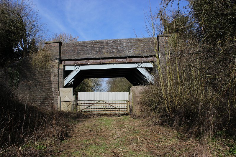
A clearer view taken on my visit to the site on the 22nd of February 2019.
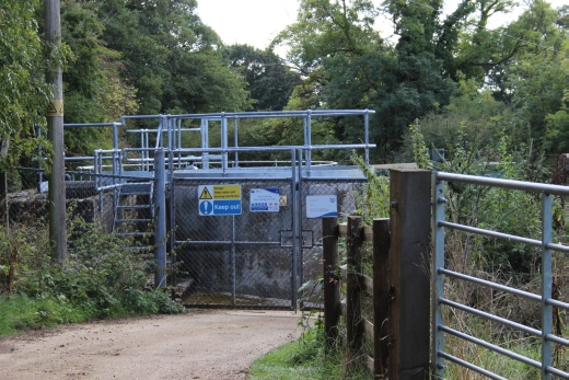
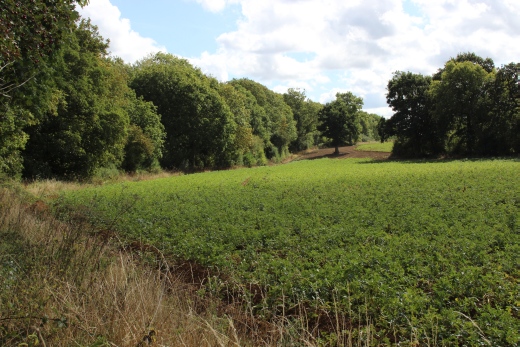
Left: You pass the sewage works and there is a nice view down the side of the field with the Ex GCR track bed within the treeline to the left.
I later found, on the way back that I needn't have crossed the Cow field as there is an opening onto the track bed along the sewage work's road.
I'm pretty sure the sewage road was locked when I passed it but it was open on my return. It may not always be open.
Right: From a break in the trees. The track bed running down within the trees on the left and heading towards Woodford Halse.
The water troughs were just up ahead.
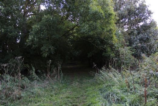
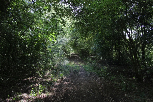
The way is quite wooded and there is a couple of gates to climb over on the way. You would have been walking on the water troughs through this area.
The gated way up ahead is the site of where the Wate Tank & Pump House stood.
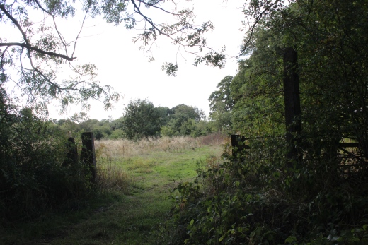
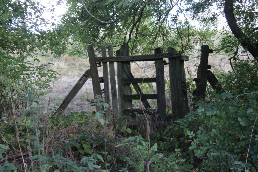
Left and right hand sides of an Ex farm crossing.
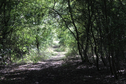
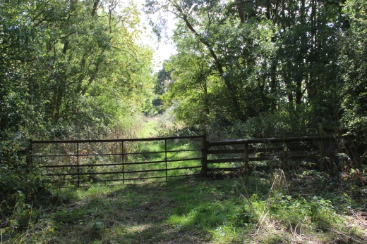
On southwards and another iron gate to climb over.
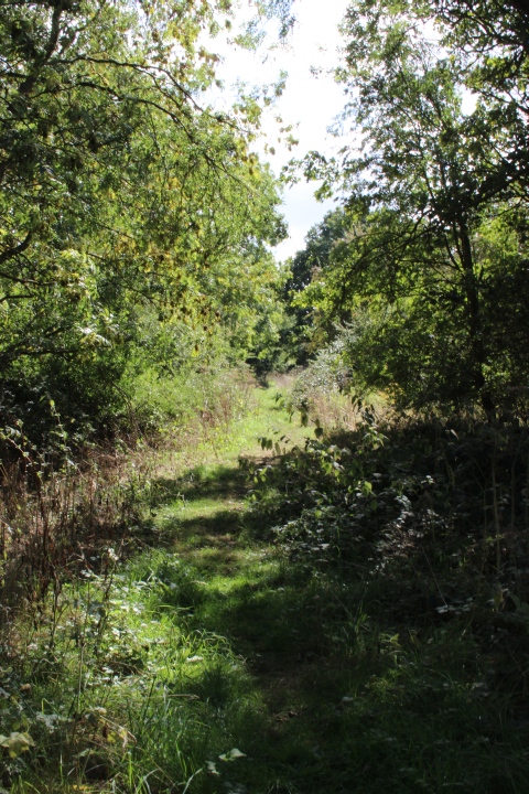
It's difficult to imagine that two sets of water troughs ran through here.
View northwards.
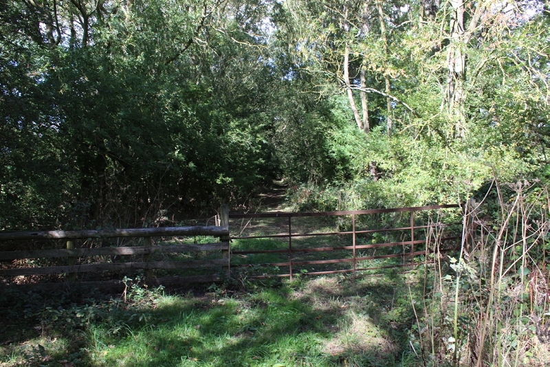
Looking back at the iron gate across the track bed. At this point I saw nothing that indicated that this was the site of the water.
trough tank and pump house.
MathewHibbard.jpg)
From around the same spot as above. A clearer photo of the remains, taken in the the Winter months.
(Photo by Mathew Hibbard).
UPDATE 4th OCTOBER 2028
From a return visit to the site I have had to rethink what I thought on my first visit. The Troughs ran further north than I had first thought.
The north end of the troughs ending just short of the fenced-off over bridge to the south of Charwelton station. They ran southwards ending
just short of the foo bridge over bridge, which s part of the Jurassic Way. I made the right decision not to try and walk through the field
down the west side of the bridge as that would have come to and south end of the field that is fenced off from the Jurassic Way.
The Jurssic way from Woodford did in fact pass over the bridge and on to Church Charwelton. However, you can only get onto the bridge from
the path. To get back onto the the track bed you cut across the field to the south of the bridge, just a short walk. The way is much more obvious
when walking the Jurassic Way from Woodford Halse, which I did in this instance. However, you still feel that you are walking in a private field
with Sheep grazing but you stay on the far right of the path where the grass is kept mown indicating the walking route. There are two gates to
go through on the way.

Charwelton Water Troughs in 1900. Looking northwards towards the overbridge that's fenced off to
the south of Charwelton station. On the far left is the pumping station at the bottom of the embankment,
which appears to be in full steam, pumping water to the tank. (S. W. A. Newton Collection).
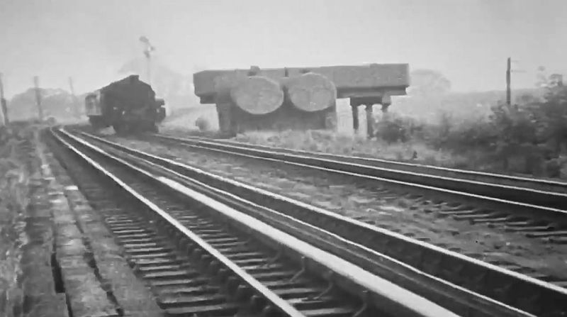
Trough tanks from south side with train heading towards Charwelton. (Video screen grab).
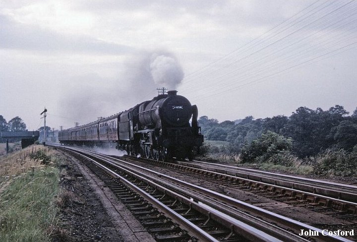
The water troughs and tank with a train running southwards, taking water, to Woodford Halse. With the Down distant
signal for Charwelton by the water tank. (John Cosford).
All that remains today is the red-bricked base of the water tower structure, which it'self is covered by weeds and just noticeable. You can easily
pass it, as I did on my previous visit. Down the bank you will see the remains of the pump house and to it's north side is the brick-built inlet
by the river Charwell, that goes under the ralway through a brick-built culvert. It had all looked very impressive when in working order.
Here are the set of photos from this exploration.....
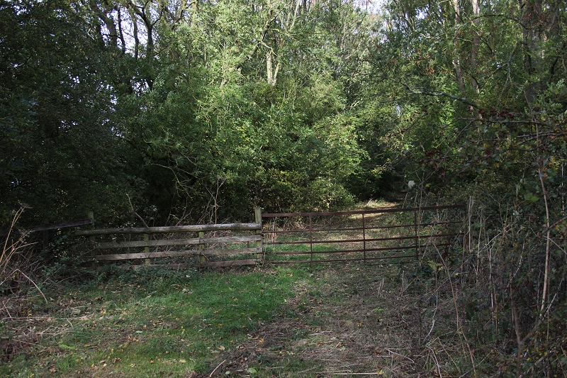
This fence marks the spot where the Water tank stood. Looking northwards. Shows a different scene as it looked at the time of
the photos above.

The brick base is easy to miss, being almost covered in under growth. Better seen in the Winter months.

Even in a close view such as this you rally have to look for it.

Rear view from the embankment. The stonework is a lot clearer.
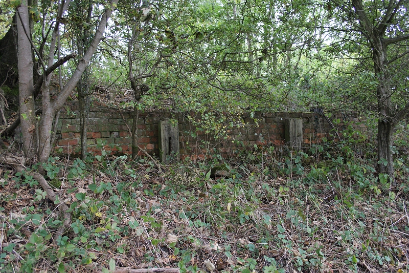
The rear of the brick base from the embankment. It had been shored up in a couple of places.
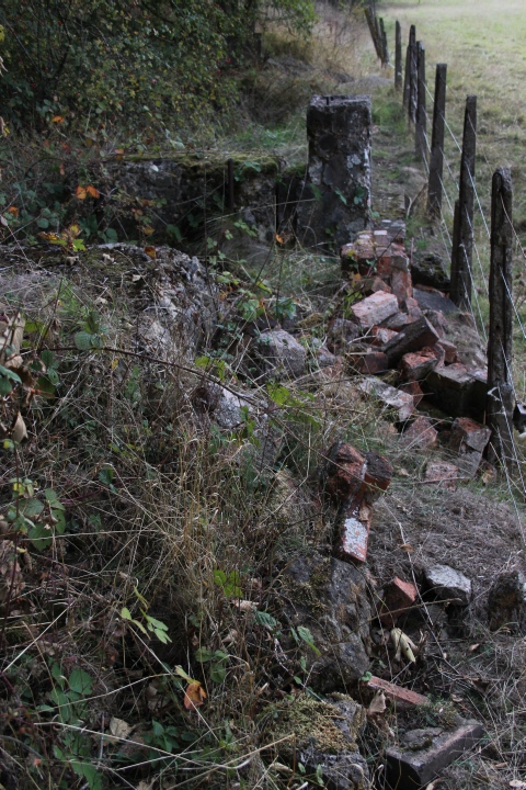
At the bottom of the embankment is the remains of the pump house.
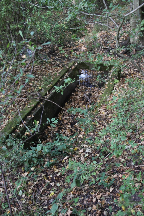
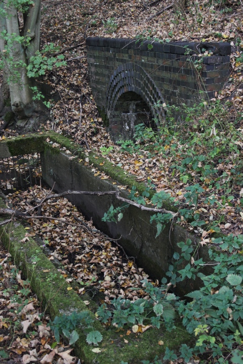
A short walk to the north, along the bottom of the embankment is the Water inlet to the pump house.
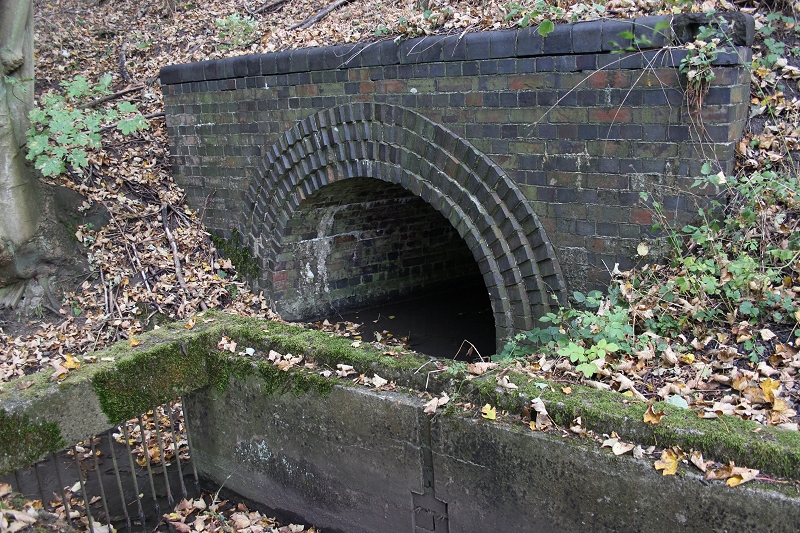
The inlet with the river Cherwell flowing under the Culvert that runs below the track bed.
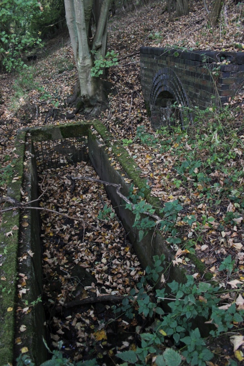
The inlet and Culvert.
=====================================================
Continuing southwards towards the Jurrassic Way over bridge and onto where the track bed ends due to heavy over
growth to the north of Woodford's ww2 Goods Yard site.
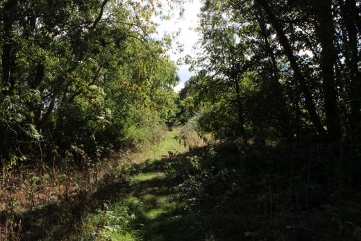
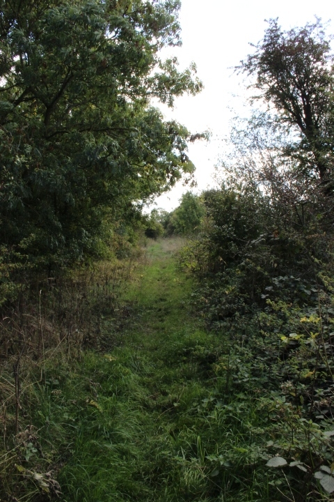
The way is quite clear for a bit but you soon come up to the heavily wooded block.

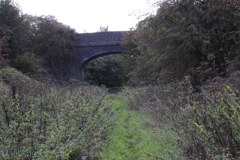
The gate is 'officially' the end of the track bed. You can walk another short distance beyond the bridge but the way is extremely dense and
unpassable. Even it wasn't you come to a dead end as the GCR is cut off from there and on past the site of the massive freight yards
and loco dept up to Byfield Road at Woodford Halse. There is the Jurassic Way path following the fields to the right but it is unmarked
and looks as if you are walking a massively a newly ploughed field so I didn't venture on but turned back to Charwelton, where, a nice
pint and a sandwich at the Fox & Hounds eased my disappointment. I caught the next bus into Woodford Halse to continue my railway
search there. You don't really miss anything as the Jurassic Way misses the track bed completely and being completely flat land the
track bed doesn't even show up. But if you do attempt the Jurassic Way, after the wide open field walk you then go through a private
farm, which may or not be legal then to Woodford Halse on the Grant Hill Way up to Byfield Road.
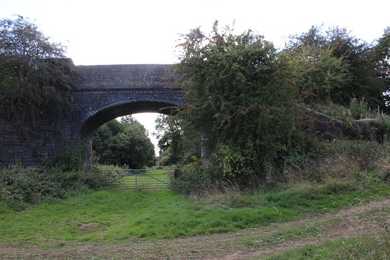
The bridge is the actaul Jurrasic Way path. I have since found that the only way onto the bridge is from the Woodford direction. It is not
obvious from the north side of the bridge. My thoughts were that the bridge was unused but the way onto the bridge is from the south side
of the bidge, where an Ex farm crossing allows you to get back onto the Jurassic Way by the south end of the Footbridge. From the bridge
the Jurassic Way continues eastwards across the fields to Church Charwelton. Or, as I did take the pat southwards to Woodford Halse.
If I had taken the way to the right, into the field I would have come to a dead end where it is fenced off by another field and have to return
back to the footbridge.
Update 4th Oct. 2018. I learned that the Jurrasic Way did indeed go over the bridge and onto Church Charwelton village. Likewise, I made
the correct decision not to take the right hand path through the field as that is a dead end. Just on the opposite side of the gate (Photo above)
there is a side path to the right where you can get back onto the Jurassic Way and continue southwards to Woodford Halse. This also
allows you to get up onto the bridge.
New photos below...
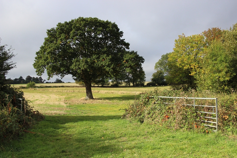
The Ex farm crossing gate on the south side of the footbridge that takes you back onto the Jurassic Way at the south side of the footbridge.
Turn right and walk up to the path.
I began my latest walk from Woodford Halse via the Footpath (The Jurassic Way) on Byfeild Road. The way is marked much clearer in the northern
direct and I found my way up to the over bridge quite easily. It still feels as if you are walking through private land but the grassy path is marked by
being kept well mown in comparison to the rough fields.
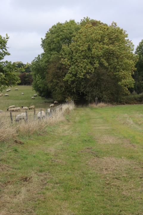
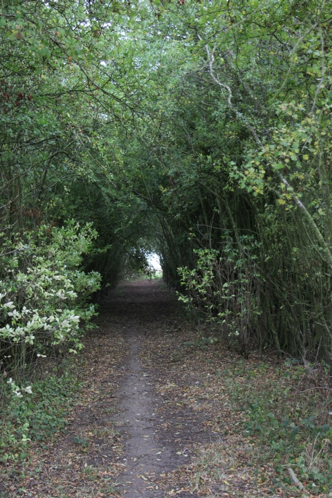
Left: The field on the left where I would have ended up had I tried to get onto the Jurassic Way. This is on the JW leading up to the over bridge which is
within the trees. This is also where you take the way to the right to get back onto the track bed on the south side of the over bridge.
Right: The tree lined way up to the over bridge. The path continues on to Church Charwelton village.
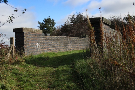

Left: The west side approach onto the bridge. Right: Towards Church Charwelton.
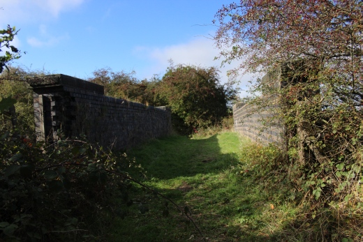
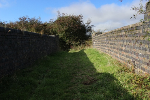
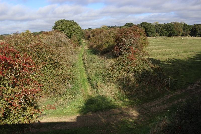
View from the over bridge towards Charwelton. The south end of the water troughs as they headed towards Charwelton.Below is the Ex
farm access crossing. This only leads into the fields on each side. The trough marker board stood on the left below.
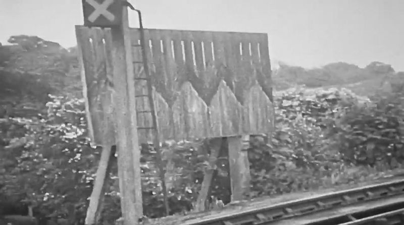
The water trough marker board. White X on black background. Iit at night. (Video screen grab).

The south view towards Woodford Halse. The way is clear for a short way then it
becomes too dense to get through.
==========================================================
Continuing the walk southwards from the farm access over bridge
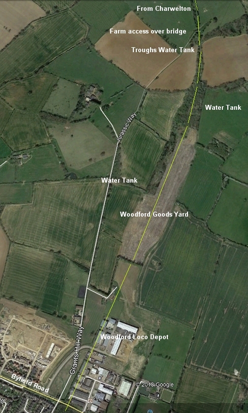
This shows the track bed leading down from the footbridge to Grant Hill Way and
passing the site of the massive Woodford Goods Yard that was built for WW2
traffic. Top right shows the over bridge where I turned back due to the Jurassic
way not being fully shown at ground level and the Jurassic Way going through
the fields to Woodford Halse. Lower part of image shows the site of Woodford
Halse Locomotive depot, which is now a large industrial estate. I believe the
only railway building left is by the entrance at Byfield Road that was the
gas & lighting works. I'm sure someone will point this out if I am wrong!
==================================================================
As mentioned, you can walk the track bed a short way south of the bridge but it soon comes to a dead end. I wouldn't recommend
attempting to go further as it really is extremely dense woodland. However here are few photos leading up to the blockage.
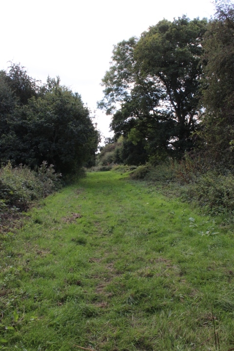
Looks hopeful at the start. Looking southwards from the over bridge. South from
the farm access over bridge.
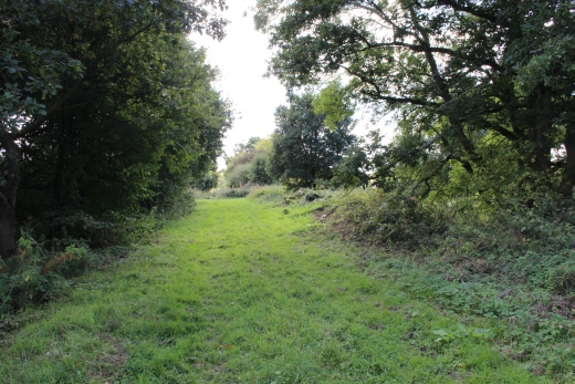
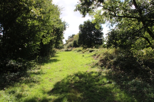
South wards from the over bridge towards where the way becomes blocked by over growth to Woodford Halse.

Looking back at the over bridge. If there was a way onto the bridge I am sure I would have been able to work out the
Jurassic Way much easier. But there should certainly be a proper sign post here. As I learned later you can only get
to the footbridge via 'the ex farm crossing entrance on the south side of the bridge.
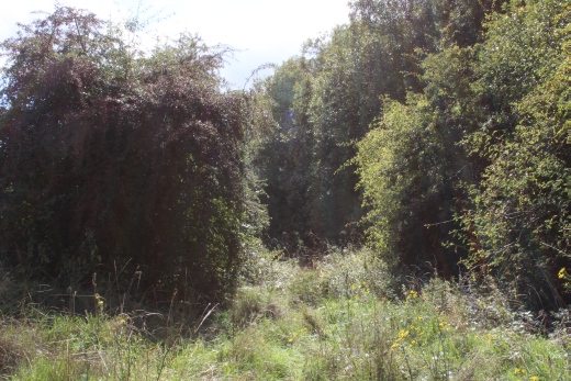
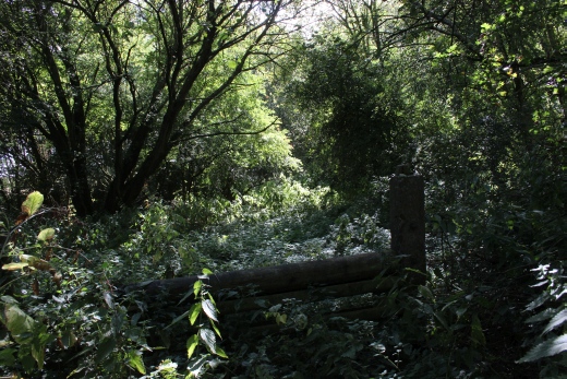
Left: The sudden change is just ahead. You can really see the density ahead. Right: I did have a look beyond this fence and it was completly thick from ground level to tree-top and
all around.
It would have been foolish to go any further. This is where trains would have turned off the main line into the large Woodford Goods Yard that passed the loco depot and into
the station. However, this is pure woodland up to the Ex Goods sidings site and then fenced-off waste land for a good mile until reaching the site of the old Loco Depot which is
now a large industrial estate called Great Central Way which leads off the Byfield Road. I didn't see any remains of the water troughs. They are well hidden in the thicket.
I did notice a stone slab around that area so think that it probably where the water tank had been. It took another visit to find the remains.
--------------------------------------------------------------------------------------------
With that I walked back to Charwelton. Then by bus into Woodford Halse, after a refreshing drink and a sandwich at the
Fox & Hounds, where I searched out the area between West and South Junctions.
===========================================================================
To: Woodford Loco Depot To Charwelton Foot Path
===========================================================
Video Links
Byfield, Woodford Halse and West Junction
https://www.youtube.com/watch?v=C8RnJ1O3y8I
Eydon Road, Chacombe Haslt, Culworth Junction and Woodford Halse station in the dying days.
(Good quality film).
https://player.bfi.org.uk/free/film/watch-rails-into-ghost-town-1966-online
8mm cine film by the late Cyrl Thomas (Didcot). Woodford Halse to Hayford.
https://www.youtube.com/watch?v=ylbxwDzq9e8&feature=share
======================================================================================
Other railway walks:
The Dundee & Newtyle Rlwy Walks Opened in 1831 the route had three incline planes. The first was from the terminal station on Ward Street, up the Dundee Law,
where there was also a tunnel. The second was the Balbeuchley incline at Rosemill and the third at Hatton that ran down to Newtyle station. It was also the very first
passenger train service in Scotland. Worked by Horse over the levels until the first steam engine was purchased in 1833. Came under the Caladonian Railway with
it's terminal moved to Dundee West station. Passengers service ended in 1952 and the line totally closed in the mid 60's. The inclines were by-passed in the 1860's.The Cromford & High Peak Incline railway in Derbyshire has been luckier in having much of it's buildings, including an Engine House preserved. This
is what could have happened with the D&N, indeed, should have happened with at least one of the D&N inclines. However, the C&H gives an excellent comparison
of what the D&N would have looked like, albeit the inclines were only single track.Boddam To Ellon Branch (Walks) By Bill Reid. Ex GNSR branch line
Dyce To Fraserburgh and Peterhead Walks. Ex GNSR
Bath To Wellow Rlwy Walks Ex Somerset & Dorset Rlwy.
Contact: reidcrcwdr@talktalk.net
Hosted by www.theatreorgans.com