WOODFORD HALSE TO CHARWELTON FOOTPATH
(4th
October 2018) (Update April 2019)
From
my experience walking from Charwelton to Woodford Halse on the --
Sept. 2018, I learned from my mistake
after getting blocked at them footbridge south of the water
trough site and having to walk back to Charwelton.
The problem was the lack of a signpost by the Footbridge that made
it look as if you couldn't continue south wards
via the Footpath Charwelton at losing pace
Once
you have walked from Woodford to the footbridge you now know that
you can walk the whole way in reverse,
from Charwelton to Woodford Halse. It just needed to be made more
clear once you arrive at the footbridge.
Here
are the photos taken between Woodford Halse and up to the Footbridge
and the site of the Water Troughs.
(Google Earth)
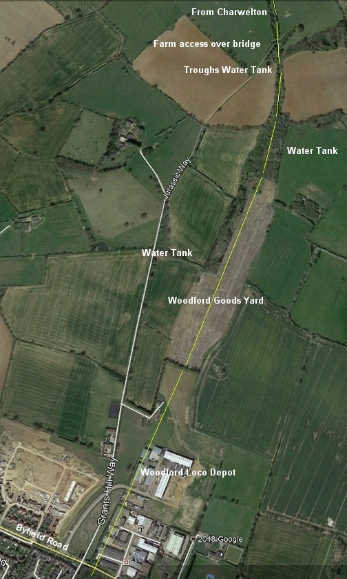
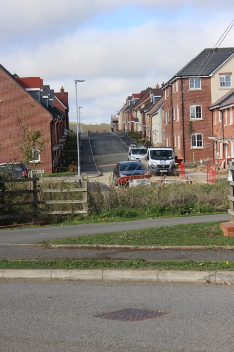
This shows the track
bed leading down from the over bridge to Grant Hill Way and
passing the site of the massive Woodford Goods Yard
that was
built for WW2 traffic. The yard was formed from the spill from digging
out Gatesby Tunnel. Top right shows the footbridge where I turned
back
due to the Jurassic way not being fully shown at
ground level and going through the fields towards Woodford Halse. Lower part of
image shows
the site
of Woodford Halse Locomotive depot, which is now a large
industrial estate. I believe the only railway building left is by
the entrance at
Byfield Road that was the Gas & Lighting works. I'm sure someone
will point this out if I am wrong!
My
walk began from where I got off the bus by Grant Hill Way and the
signpost for the Jurassic footpath. It is also where the railway
bridge crossed
the Byfield Road between the north end of the lower goods yard and
passing the loco depot, northwards.

By the bus stop on Byfield Road. Phipps Road to the
right. The lady and the Dog are where the over bridge
crossed the main road.
The lower goods yard was to the left and the loco depot to the right. There is a footpath
through the
Ex Goods Yard
from the
station
site up to the enrance just out of sight at the far right. It was
almost a short tunnel as the bridge was at least six tracks wide.
This photo is the reverse position of the one above. No housing
development along the byfield Road but Phipps Road
turns off to the left just ahead of the bridge. You can see the width
and that numerous tracks headed northwards
over the bridge.
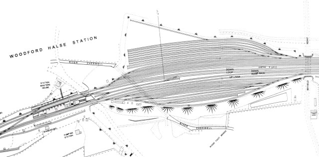
Rather low res but this map of Woodford station & the goods
sidings shows the numerous tracks that
crossed the Byfield Road bridge (Far right). Interesting too is that
it shows the river Cherwel running
below the southern end of the goods sidings. (Author unknown).
Closer view from above photo. The new road up on the left goes into
the Ex Locomotive Depot site which, is now an
industrial estate..
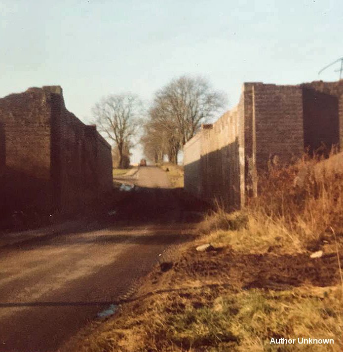
Left: The north end of the lower Goods yard where the over bridge has been
removed. Right: The north side of Byfield Road where the over bridge
stood.
The mainline ran northwards past the Loco Depot and work shop buildings.
The old entrance into the Loco depot site now named Great Central Way. The
building on the right may be the old Gas & Lighting works. If so, they
are the only
remaining building left of the Loco Depot site.
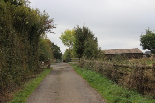
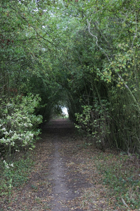
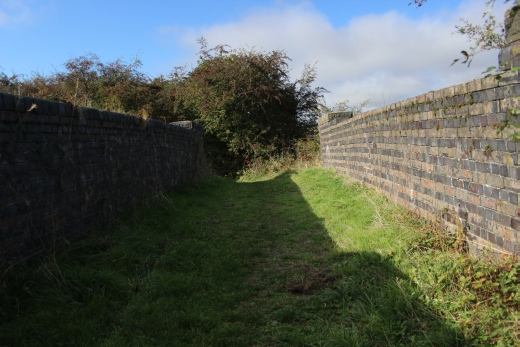
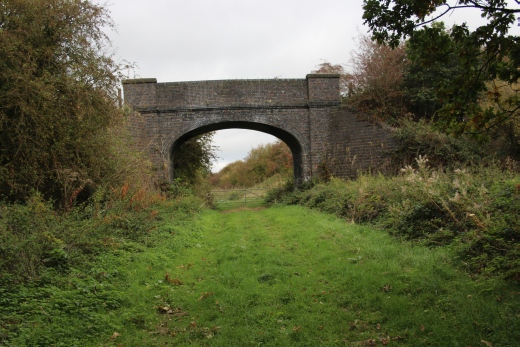
From here I began my walk northwards on the
Jurassic Way footbridge where the Charwelton Water Troughs began. I
was interested in finding out where I made the error
on my last visit where I had to turn back to Charwelton.
New housing and a new street at the north perameter of Grant Hill Way.
New road off Grant Hill Way, which is now the entrance to the Ex Loco
Depot site.The loco stood at this site.
Woodford Loco Depot from around the same spot as the photo above. The
pohtographer was probably standing in
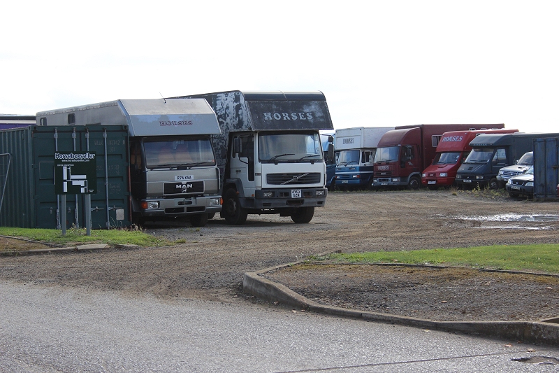
what is the Horse Box Seller's yard today. (Author Unknown).
This was the area at the south end of the Loco Depot. Looking eastwards
across the scene.
The northern perameter of depot. The turning triangle was at the far
side of these buildings.
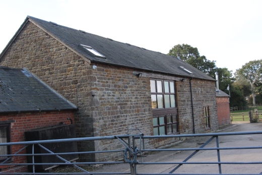
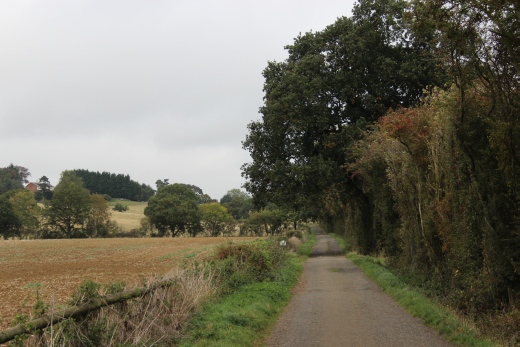
Left: Looking southwards along the Jurassic Way towards Woodford Halse.
Right, What looks like a converted barn.
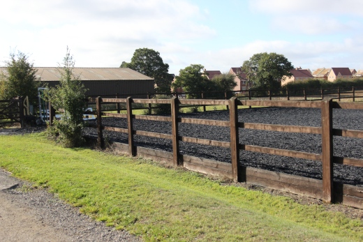
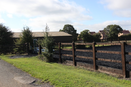
Training area for the Esquarian.
As you pass the north end of the loco depot site there is a gate leading
onto private land.This may have been a secondary path too and from
the depot.
Left: Looking back down the footpath to the gate by
the
equestrian.
Right: From the same spot looking northwards.
On the Footpath (Jurssic Way) just north of the loco depot site.
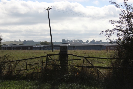
Left: On the right is the start of the large Goods Yard site. Now
just a large
ploughed field. Right: The reverse view from a little way further up the
path.
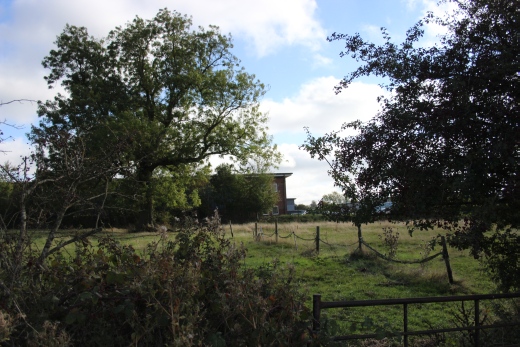
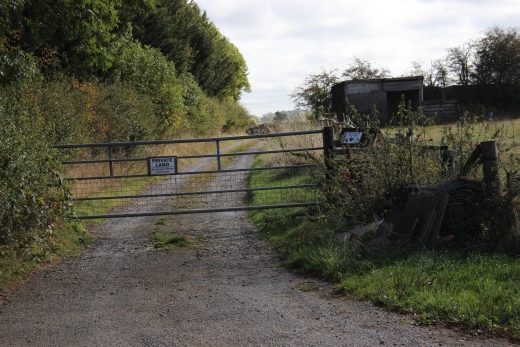
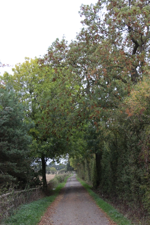
Northwards towards the private farm. A way is gated just ahead. However
you can continue on the other side and keeping to the
far right side of the field, onwards. Charwelton Lodge is behind the trees
on the left.
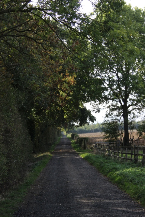
Passing Charwelton Lodge The Jurassic Way is defined by a
narrow strip of mowed grass down the right perameter of the field.
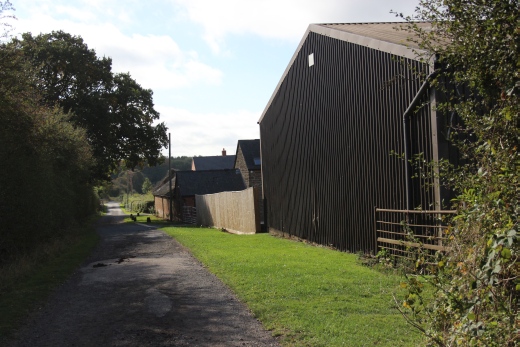
CHARWELTON
BRICK WORKS
.
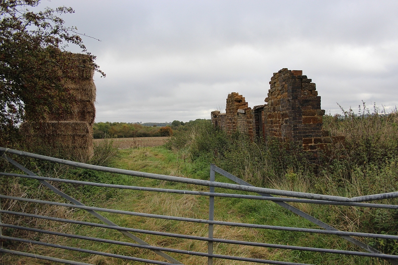
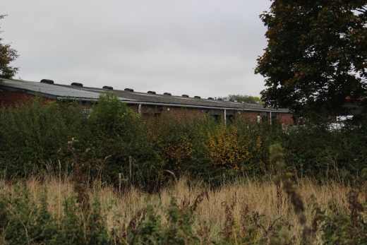
Remains of a house or works building with the remains of the
Goods sidings behind. Near the north end of the goods yard.
The path led over to the Clay Pit to the north of the brick works..
On the west side of the Jurassic Way, by
the track bed was the Charwelton Brick Works that had it's own
small wagon tramway. The tramway was
linked to the main line at the south end and ran northwards to a
small clay quarry. It may be that this road lead to the Brick works.
There was a
bridge over the mainline but from the Google Earth image it no longer
exists.
Here is how it shows in an NLS 1888 to
1930 map
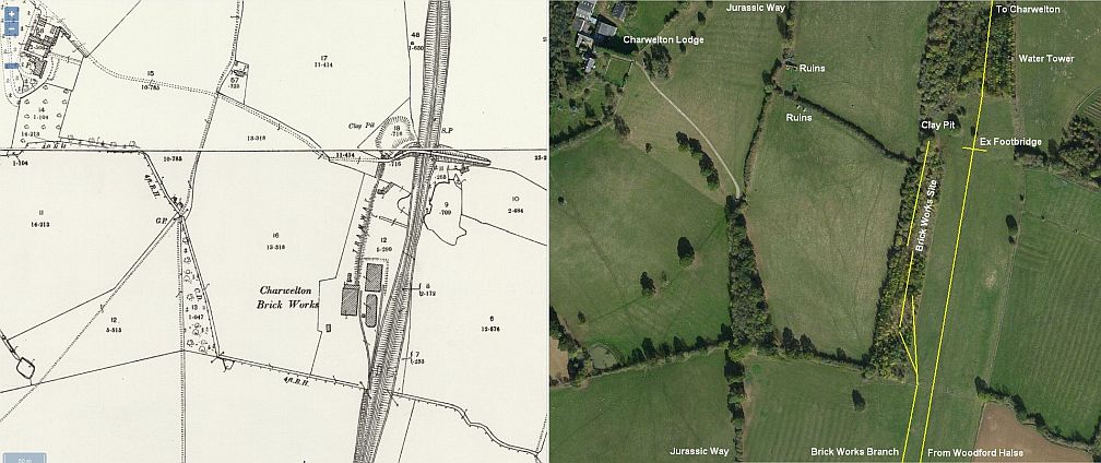
This map shows the area half way between Woodford Loco Depot and the
the Jurassic Way footbridge where I was heading to.
This map pre-dates the period before the WW2 Goods sidings were built.
===================================================================
There was another 3-Arched farm access bridge
extending over the full width of the main line just north of the Loco
Depot that I was unable to find any information about
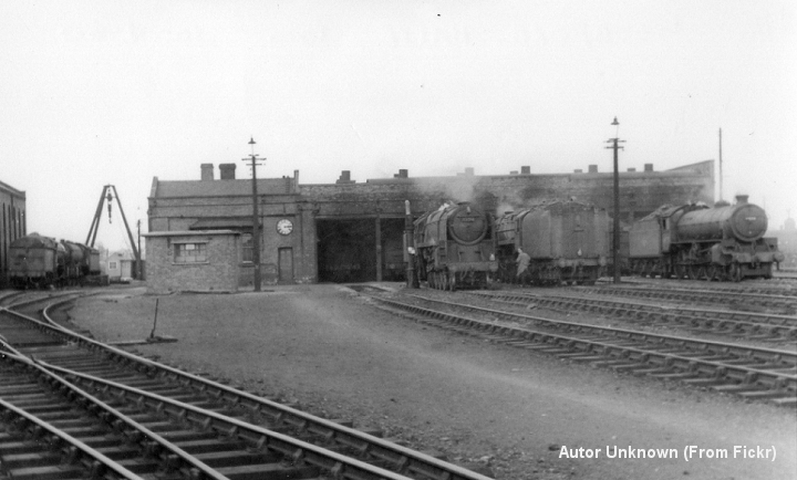
I have seen a photo of the area taken from No 2 sinal box, looking north
just after the line closure and it didn't shw any ridge at that
point. Below, I found an old B&W
photo taken of the sidings by the ExWagon Works building shoing that it
was quite an extensive 3-4 arched brick built bridge. With thanks to
Albert Fennal of the
Woodford Halse web pages for explaining that it was merely a farm access
bridge and that it was removed when the new goods yard was
constructed. .
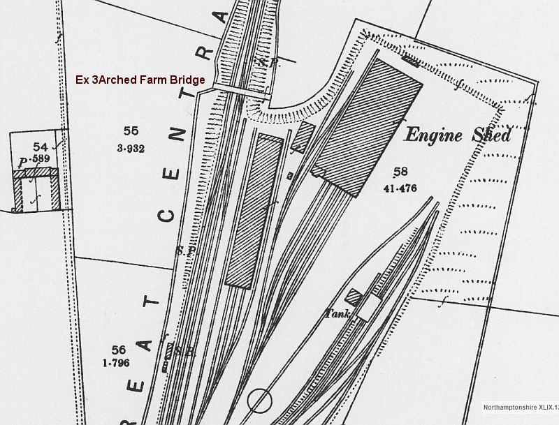
From NLS maps. It shows where the bridge had crossed the main line.
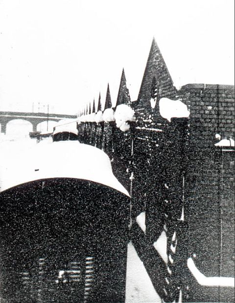
From the carriage sheds the 3-4 arched farm access bridge to the north of
the
loco depot. This photo had been taken pior to the construction of the new
sidings, which was around 1942. (Author unknown).
Correction:
I mistook this access bridge for the one by the Brick works. There
was another farm access bridge between the north end of the loco
depot and the access bridge by the brick works. I still need to find
a photo of this latter bridge.
=========================================================
Update
22nd February 2019 (New Page)
Another visit to the Woodford Halse area
while the overgrowth was at it's lowest. Walking the area of the WW2 Goods
Sidings, past the siteof the Ex Brick Works
and to the Clay Pit site. Due to the amount of new photos I have made this
a page on it's own. Link below and you can link back to this page or got
back to
the Index page.
Woodford Halse Goods Sidings & Brick
Works (2019) WoodfordHalseGoodsSidings&BrickWorks(2019).htm
===========================================================
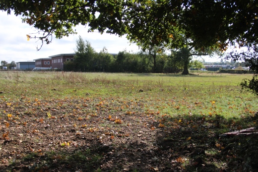
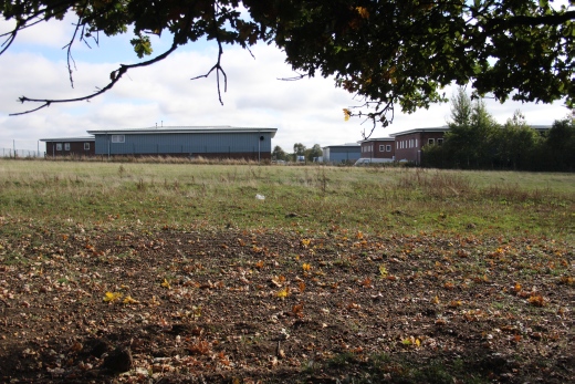
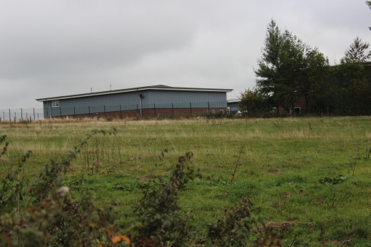
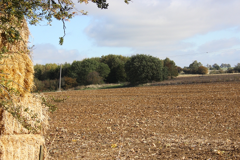
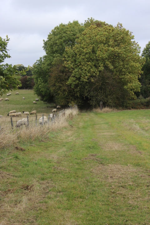
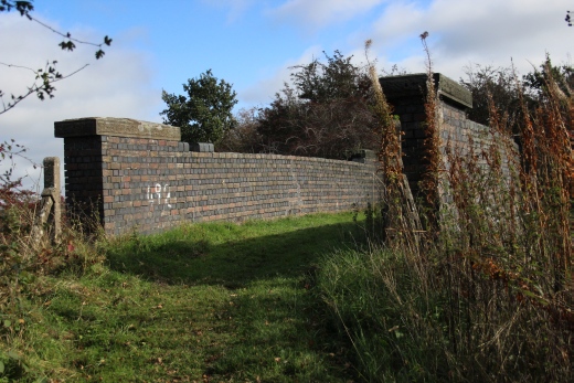
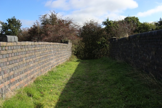
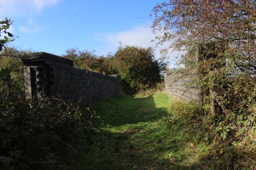
REMAINS
OF THE VAST WW2 GOODS YARD. (From the footpath)

View from Google Earth.
Shows the length and width of the goods
sidings. From the site of Woodford Depot, at the bottom, to the
footbridge near Charwelton. The Jurassic Way runs to the left.
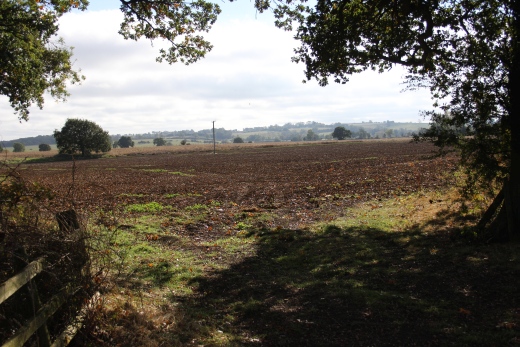
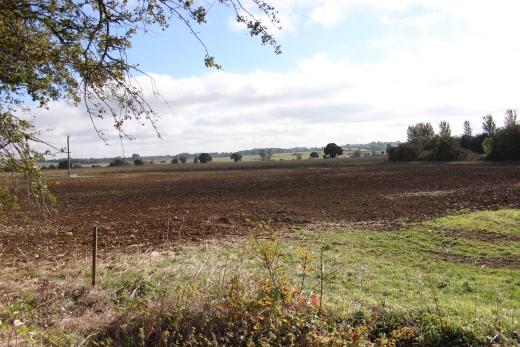
The yard was very long and many tracks wide, on each side of the
mainline. The darker ground indicates the actual yard area. The mainline
approximately followed
the present day line of the elctricity poles.The track bed was on a
low embankment, which has been levelled.
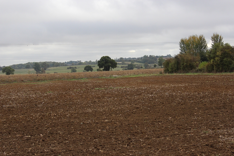
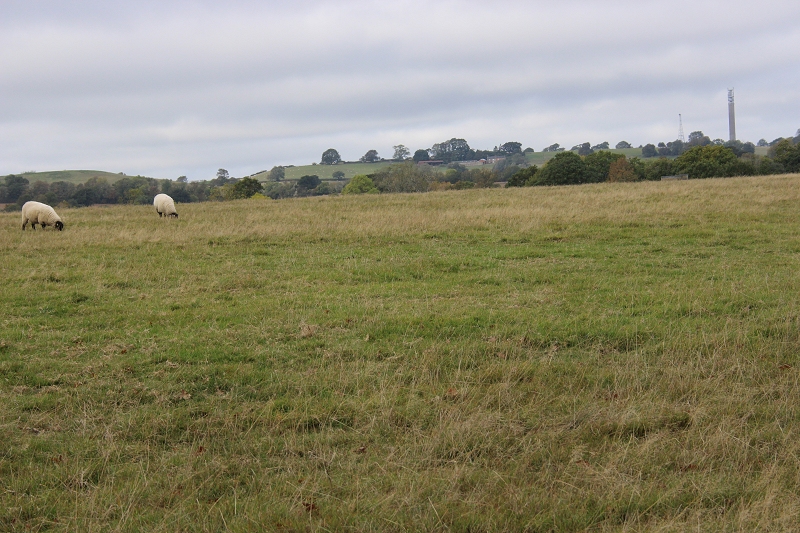
Looking
westwards across the full width of the Goods sidings. The footpath
over bridge near the brick works would have been seen
from here. The works being within the grassy clump on the right.
The sidings
were built in 1942 for the war effort. Even if the railway had
remained open the goods yard would probably have been
closed as the work it was built for ended. The sidings could
handle up to 3,000 wagons per day. We are looking at the western
side of the sidings. The mainline ran off to the center of the field and
through the gap between the wood, behind the large tree in
front of it. That is the area all the way up to the footbridge that is
completely unwalkable. The tall water tank for the sidings
is behind the to the right but hiden by the trees.
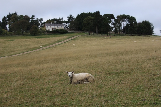
You
next come up to another gated way, taking the path up a steep hill
over the field ahead.
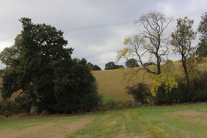
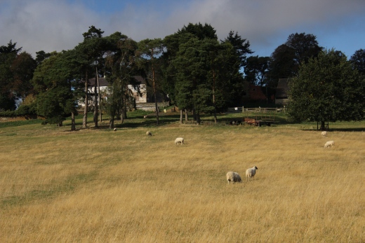
At the summit the path drops down to another gate. It is
held closed by a piece of rope. You must lock the gate
using the
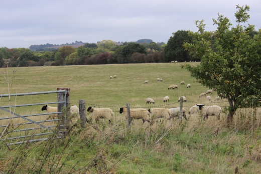
rope after use as Sheep are grazing in the field.
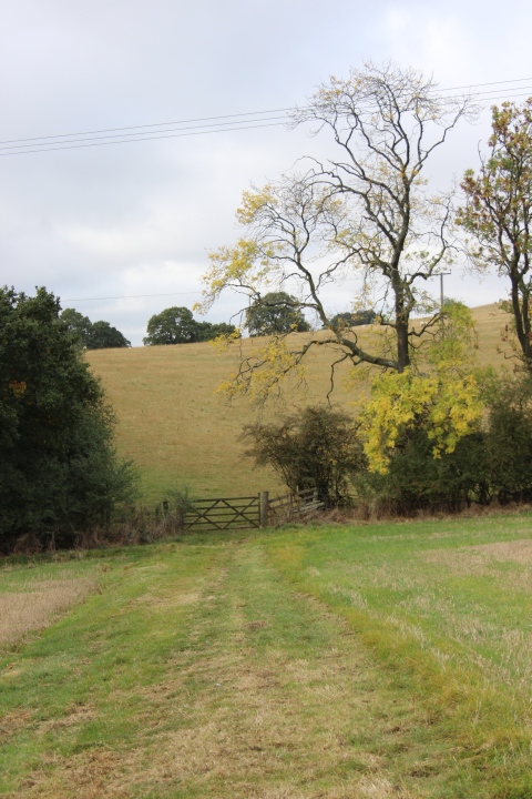
Left: Dropping down to the gate. The ground rises
once again for a way before it drops once again as you approach the
Footbridge over the railway track bed.
Right: The mown
grassy strip climbs up over a ridge.
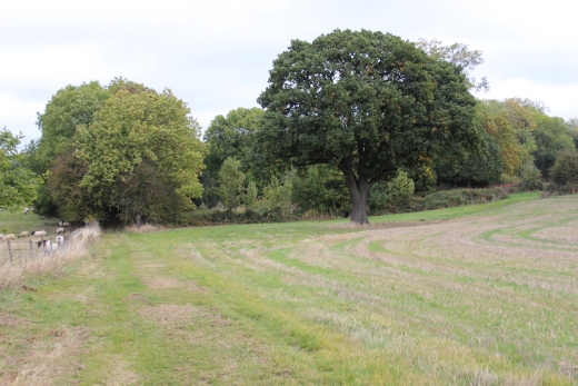
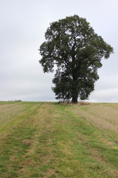
Left: Dropping down past the field that I decided not to go through
on my last visit. Right: The path drops down to the base of the
footbridge that is within the trees
ahead. Right: To the right is the path across the field that takes
you back onto the track bed at the extreme right via an Ex farm
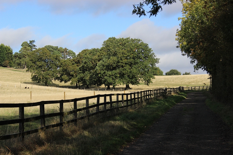
crossing gate just south of the Footbridge.
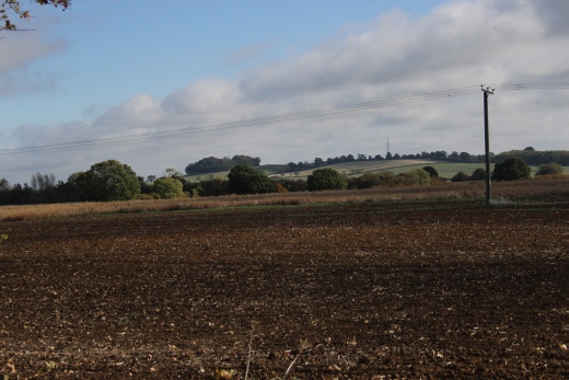
The BT Tower at Hellidon is seen from the top of the footpath.
Left:
The field on the left where I would have ended up had I tried to get
onto the Jurassic Way last time. This is on the JW leading up to the
footbridge which is
within the trees. This is also where you take the way to the right to
get back onto the track bed on the south side of the over bridge.
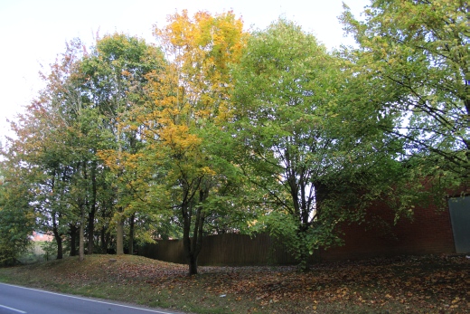
Right: The tree lined way up to the footbridge. The path
continues on to Church Charwelton village.
Left:
The west side approaching the
bridge.
Right: Towards Church Charwelton.
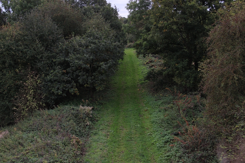
Towards
Woodford Halse via the Jurassic Way.
View
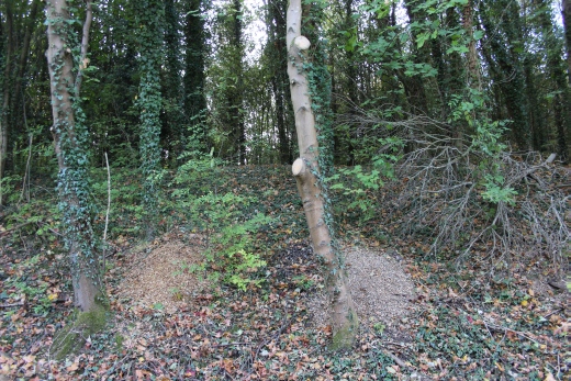
from the footbridge towards Charwelton. The south end of the water
troughs as they headed towards Charwelton.
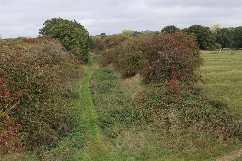
The view Southwards from the footbridge. As I found
out, you can walk a short way but have to return as it
becomes blocked
by the heavy undergrowth.
Left: Towards
Charwelton.
Right: Towards Woodford Halse.
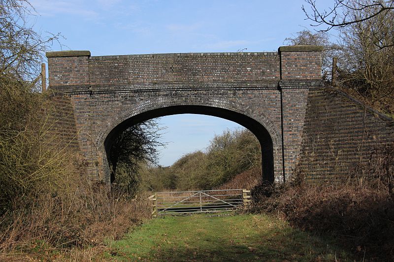
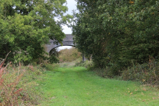
JurassicWay Footbridge towards Charwelton. (22nd of February 2019).
==========================================================
5.
Woodford Halse Goods Sidings & Brick Works (2019)
Back To Index
===========================================================
Video
Links
A
short video around Woodford Halse area.
https://vimeo.com/19416219
Video
of Woodford Halse and the West Junction curve. The video concludes
with scenes at Nottingham Victoria
and the north end of Sherwood tunnel and Basford Central station.
https://www.youtube.com/watch?v=s2nEt_zxjdQ
Byfield,
Woodford Halse and West Junction
https://www.youtube.com/watch?v=C8RnJ1O3y8I
Eydon
Road, Chacombe Haslt, Culworth Junction and Woodford Halse station
in the dying days.
(Good quality film).
https://player.bfi.org.uk/free/film/watch-rails-into-ghost-town-1966-online
8mm
cine film by the late Cyrl Thomas (Didcot). Woodford Halse to Hayford.
https://www.youtube.com/watch?v=ylbxwDzq9e8&feature=share
======================================================================================
Other railway
walks:
The Dundee & Newtyle Rlwy Walks
Opened in 1831 the
route had three incline planes. The first was from
the terminal station on Ward Street, up the
Dundee Law,
where there was also a tunnel. The second was
the Balbeuchley incline at Rosemill and the
third at Hatton that ran down to Newtyle station. It
was also the very first
passenger train service in Scotland. Worked by Horse
over the levels until the first steam engine was
purchased in 1833. Came under the Caladonian Railway
with
it's terminal moved to Dundee West station.
Passengers service ended in 1952 and the line
totally closed in the mid 60's. The inclines were
by-passed in the 1860's.
The Cromford & High Peak
Incline railway in Derbyshire has been luckier in
having much of it's buildings, including an Engine
House preserved. This
is what could have happened with the D&N, indeed,
should have happened with at least one of the D&N
inclines. However, the C&H gives an excellent
comparison
of what the D&N would have looked like, albeit the
inclines were only single track.
Boddam To Ellon Branch (Walks)
By Bill Reid. Ex GNSR branch line
Dyce To Fraserburgh and Peterhead
Walks. Ex GNSR
Bath To Wellow Rlwy Walks Ex
Somerset & Dorset Rlwy.
Chippenham To Caln
Walk.
Contact: reidcrcwdr@talktalk.net
Hosted by www.theatreorgans.com
BACK TO HOME PAGE