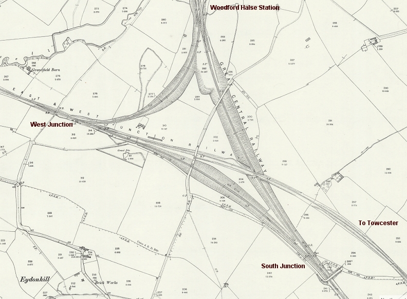
Woodford and it's junctions. (NLS Maps)
WOODFORD HALSE RAILWAY WALK
(27th Sept 2018)
(Update 4th Oct. 2018) (April 2019)
(March 2023)
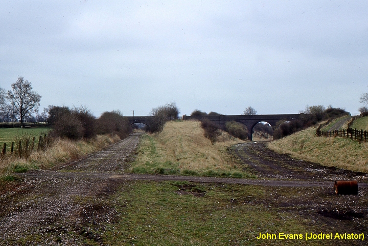
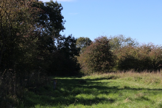
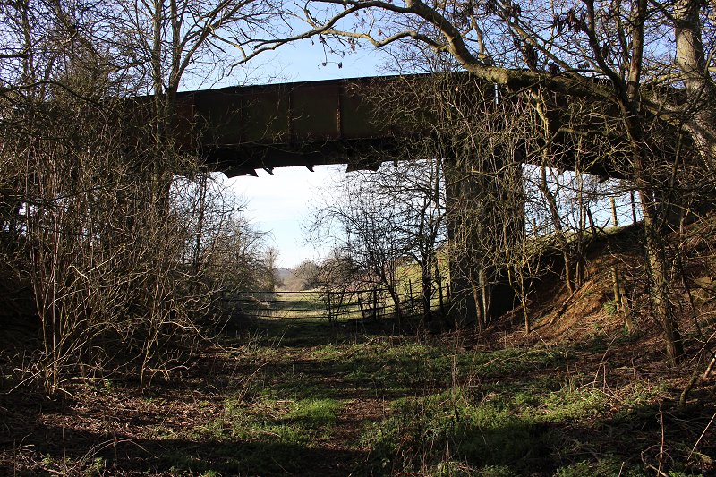
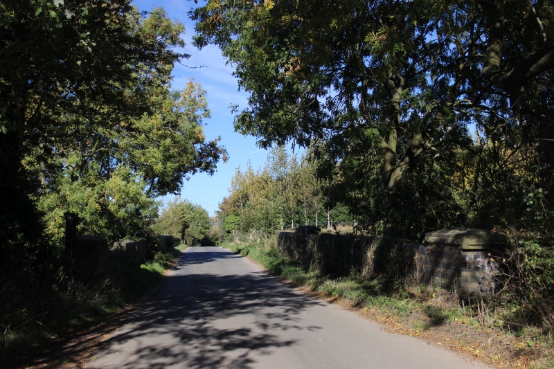
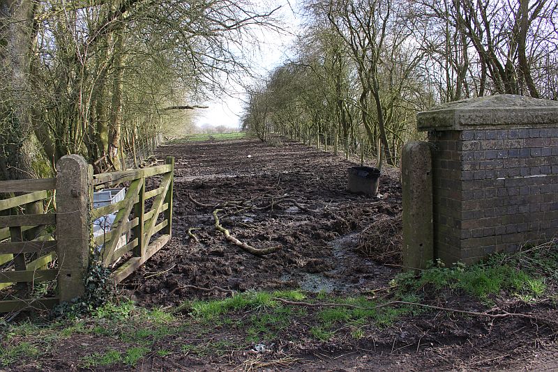
WOODFORD WEST JUNCTION TOWARDS BYFIELD
52 years to the month since the closure of the Great Central Railway London Extension from Annersley Junction to the north
of Nottingham to London Marylebone station. The line closed on the 26th Sept. 1966.
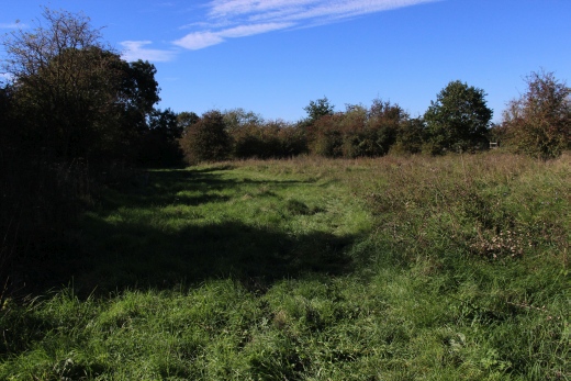
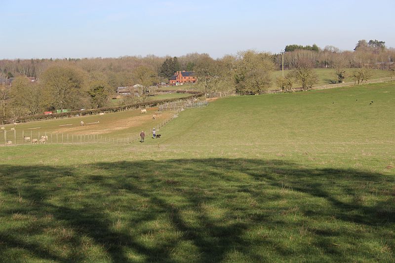
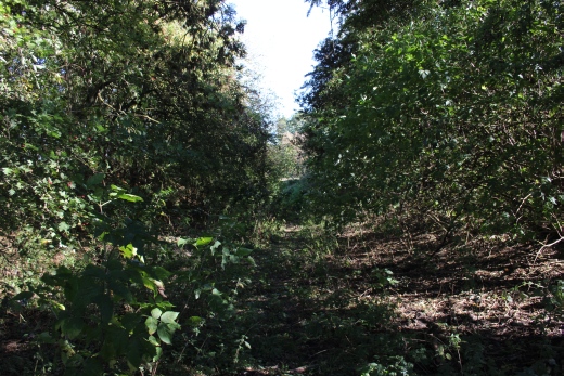
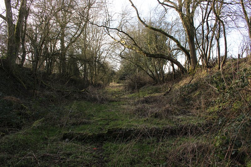
From a third visit to Woodford Halse I managed to venture a short way beyond West Junction towards Byfield. Just beyond
that, the track bed has been plouged over for most of the way towards the Byfield station site.
==================================================
While I had the time I decided to see how far I could get from the West Junction site towards Byfield. As it turned out not very far.
Officially only as far as the old over brige, west of the junction ste. You can go past thew barrier beyond but only a matter of
years as the track bed and the field to the west side are used for Sheep grazing then the track bed becomes totally ploughed
over between there and the Byfield station site.
Woodford and it's junctions. (NLS Maps)
Between the two bridges and West Junction. Approaching West Junction Signal Box. The S&MR
curve to Woodford station ran to the right in distance.
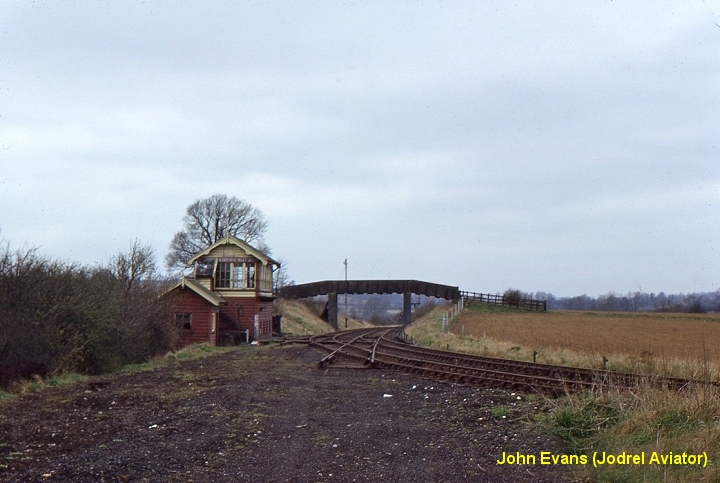
The sames spot as above. The railway is closed but the track around the S&MJR curve to the station is still in place.
The cut off track is that of the S&MJR as it ran eastwards towards Towester. To it's left the double track too/from
Woodford South junction is completely lifted. The signal box and it's out buildings await their demolition. The foot
bridge remains today.
Taken from close to the same spot as below. Alongside the facing points up ahead..
(22nd Feb. 2019).
West Junction towards South Junction. The S&MJ branch curve to station on the left and the S&MJR branch
towards Towcester straight ahead. (John Evens).
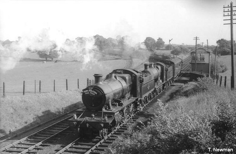
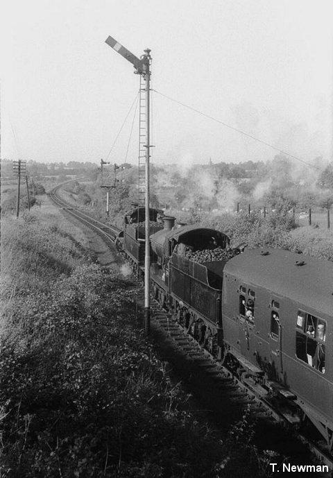
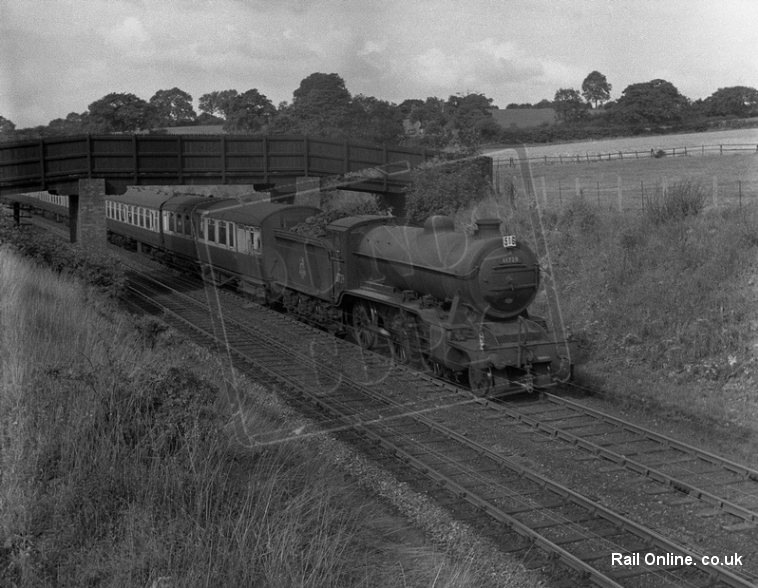
A double-headed passenger train comes off the double track at Woodford West Jctn and onto the single line towards Byfield
and on to Stratford Upon Avon. (T. Newman).
Just behind the metal gate and to the left are the remains of Woodford West signal box and it's storage buildings. The signal box remains are on the right.
(22nd February 2019).
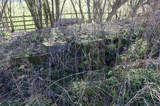
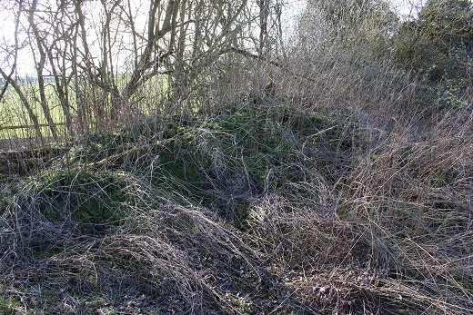
Update March 2023
A visit in March 2023 found that the sight of the signal box had been cleared a bit with more bricks haveing been churned up and spread over the site.
3rdMarch2023).jpg)
3rdMarch2023).jpg)
3rdMarch2023).jpg)
3rdMarch2023).jpg)
================================================================
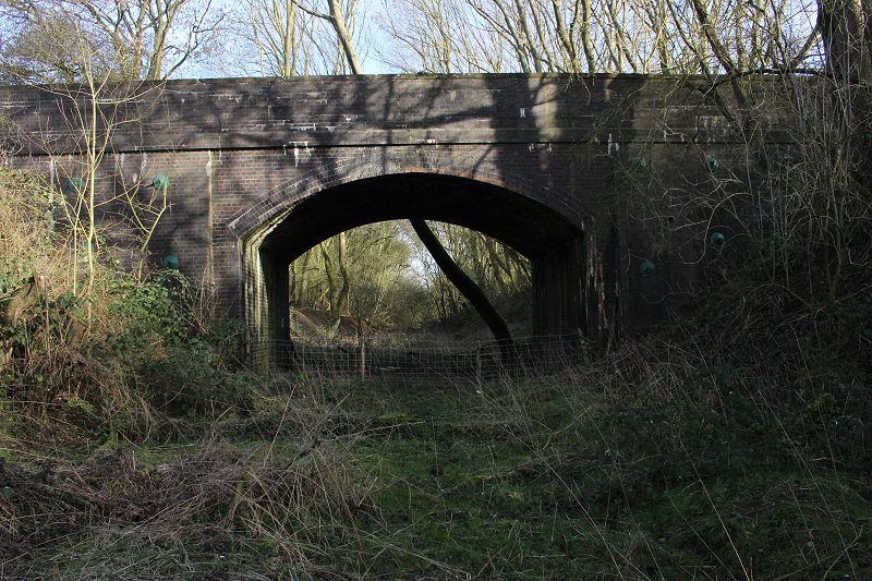
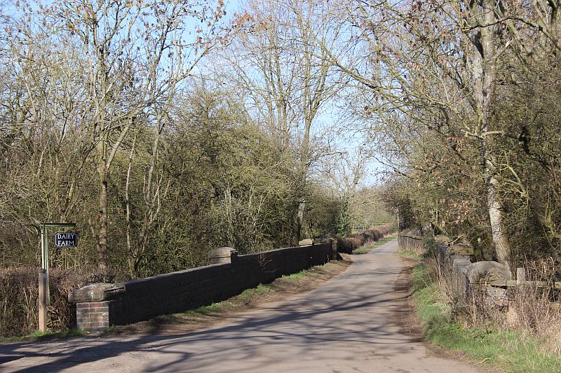
From West Junction To the footpath over bridge towards Byfield.
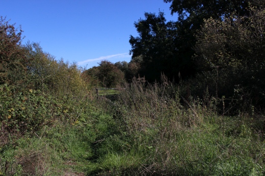
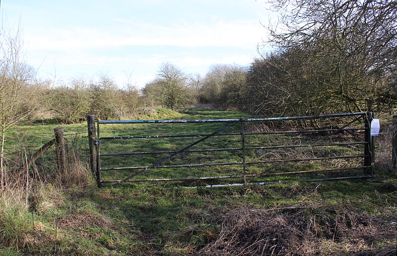
The way is gated again from the site of West Junction signalbox. You can climb over it but it takes you onto private land that is a working farm.
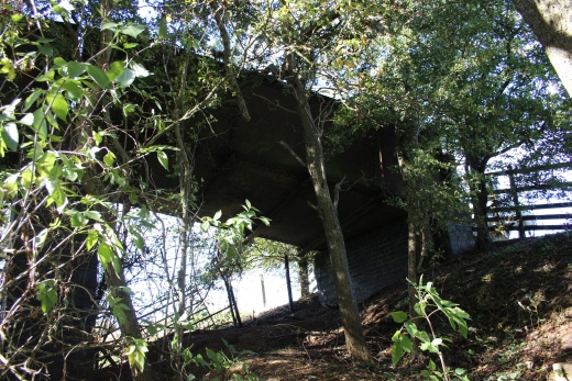
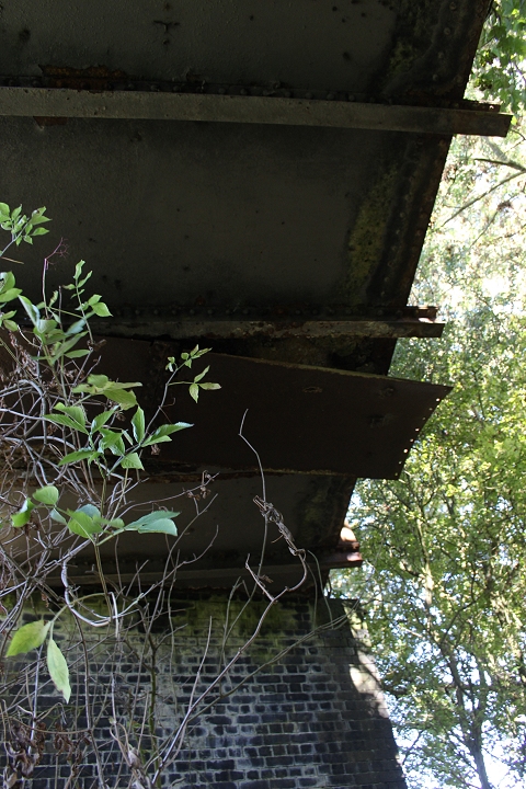
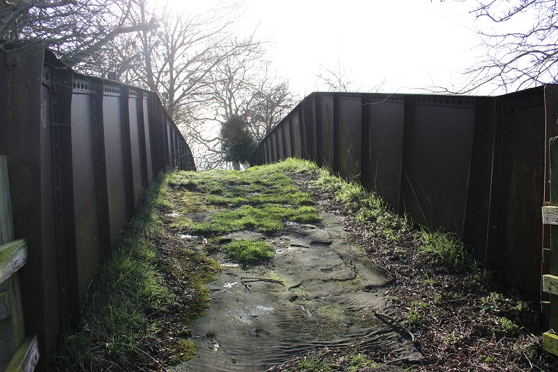
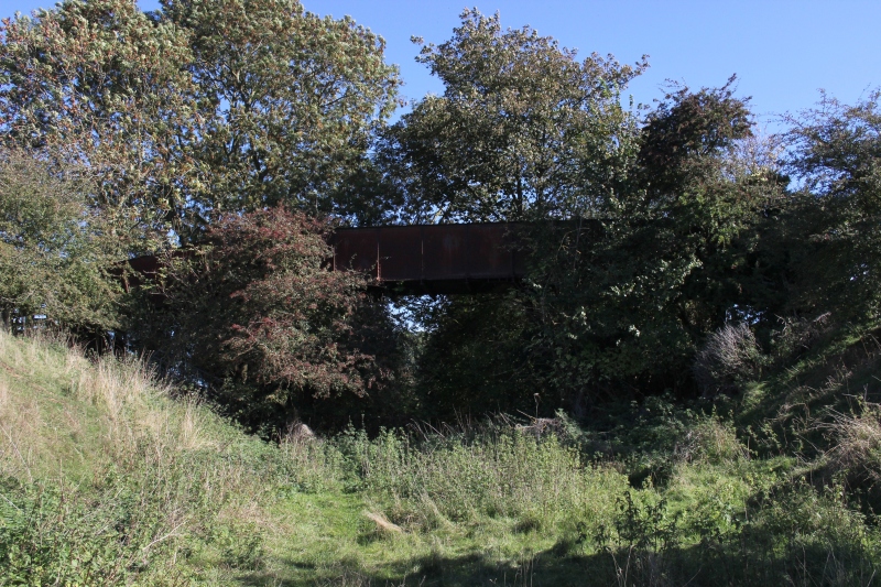
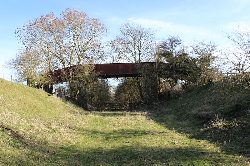
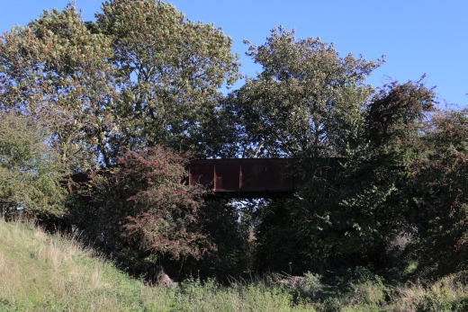
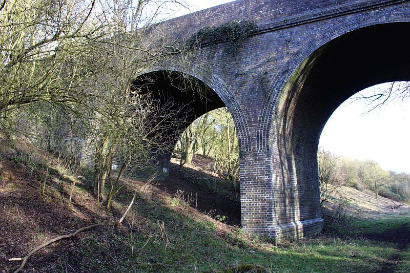
You quickly reach the old over bridge. It just a footpath over the railway. However, it is in a very poor state. Both the iron work and the stone work each side of the
bridge is deteriorating badly. The smoke baffles are still there but are hanging very loose and a part of one is on the ground. How long the bridge will be safe even
for walkers is anyone's guess.
.JPG)
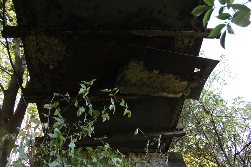
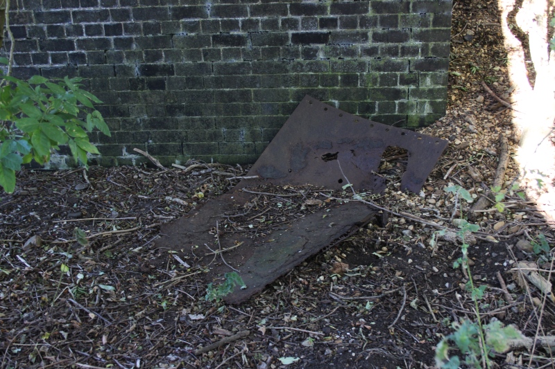
Part of a smoke baffle on the ground.
You can see how loosely this particular baffle looks.
New photos from my visit on the 22nd Feb. 2019.
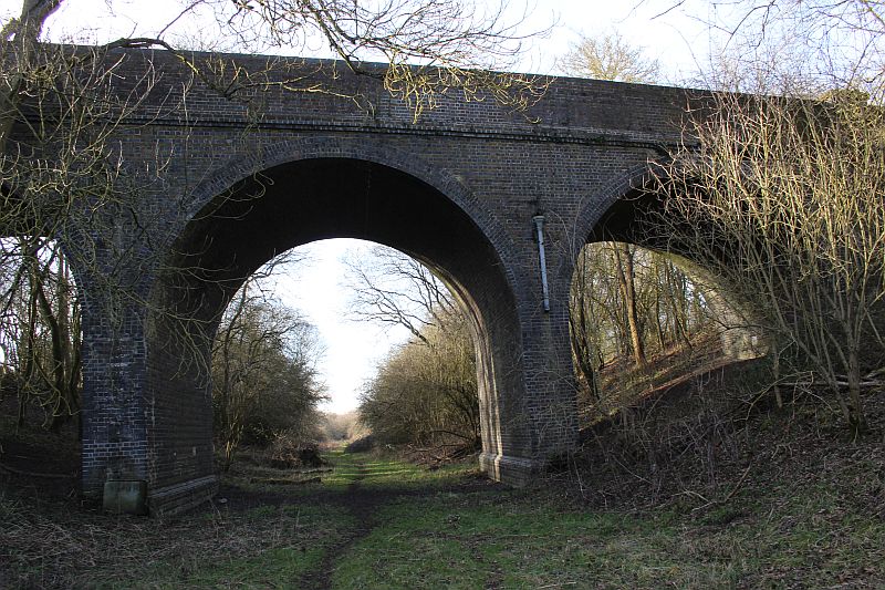
Due to the clearer undergrowth I found a path leading up the side of the track bed that allowed me to get onto the footbridge.
On the footbridge. Towards Eydon.
Bottom of the footbridge path. Footpath coming from the Eydon Road area
up to the over bridge.
On the footbridge. Towards Woodford Halse village by the old station house.
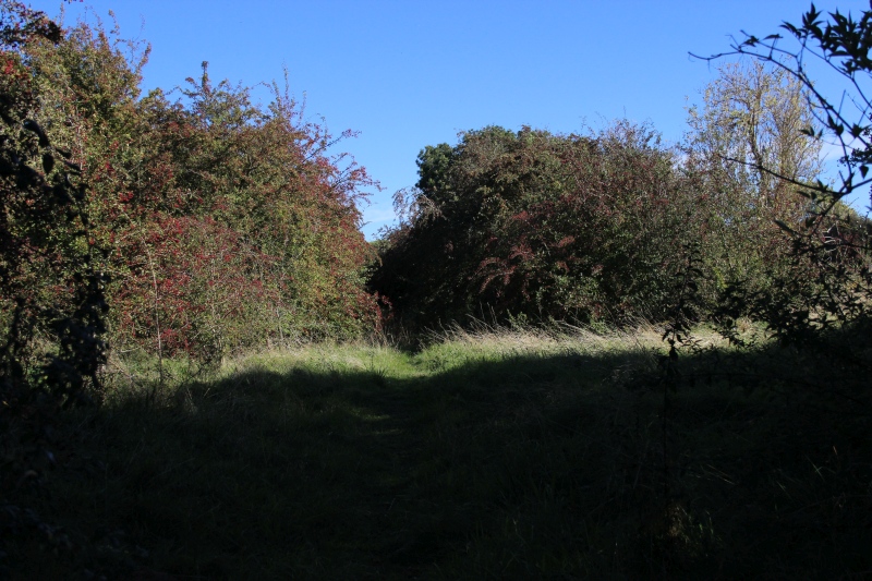
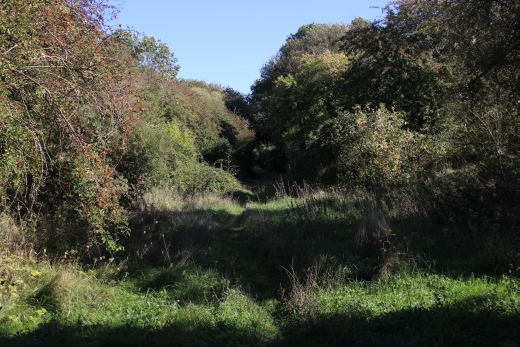
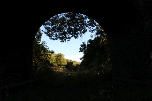
Wide angle view from the over bridge towards Byfield.
A double-headed passenger train comes off the double track at Woodford
West Jctn and onto the single line towards Byfield and on o Stratford
Upon Avon. (T. Newman).
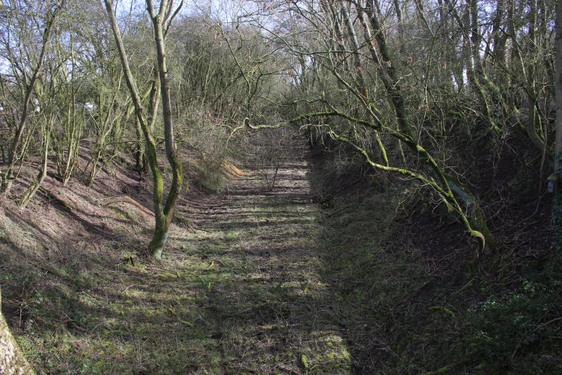
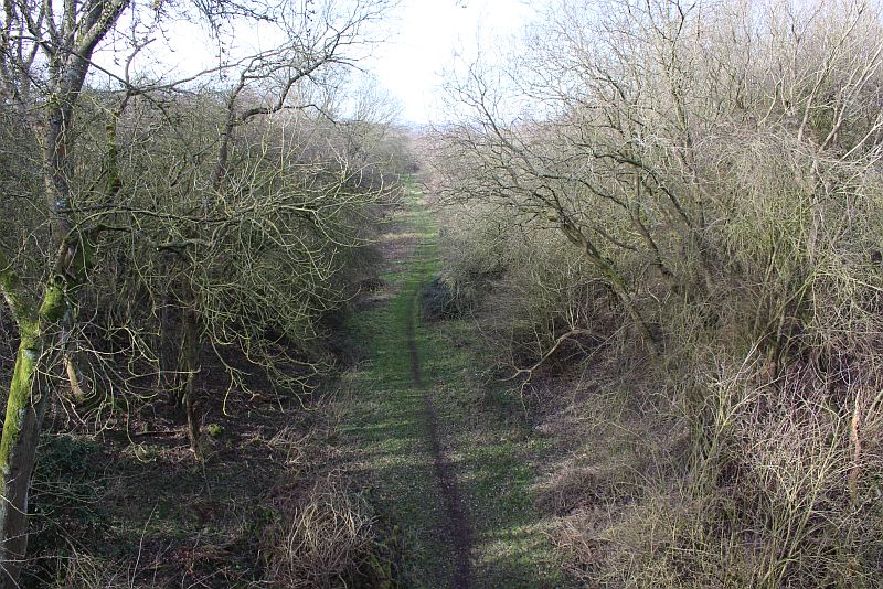
A closer view of where the double track from Woodford West Junction became single track to Byfield station. You should not
go past this point as it s a working farm. Likewise, the track bed is completely impassible beyond where the sheep are.
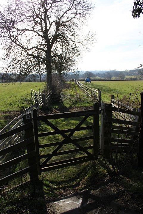
In the opposite direction. The footpath leading down to the junction with Station Road and Hinton Road. By the old
Station House.
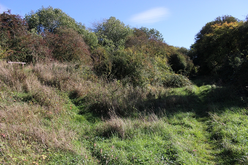
Reverse view. It was double track from here to the station and to South Junction. Height of Summer over growth.
The footbridge looking towards Woodford West signal box which, was just behind the over bridge to the right.. It was double track
from here to Woodford West Junction. (22nd February 2019).
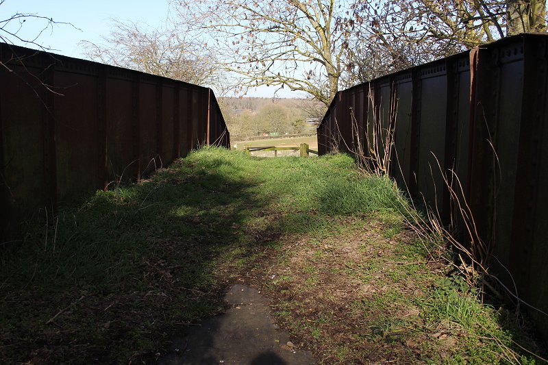
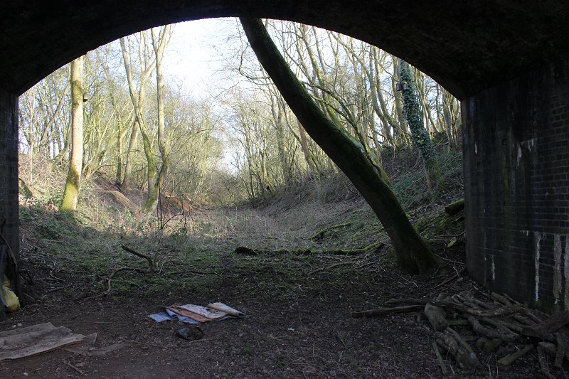
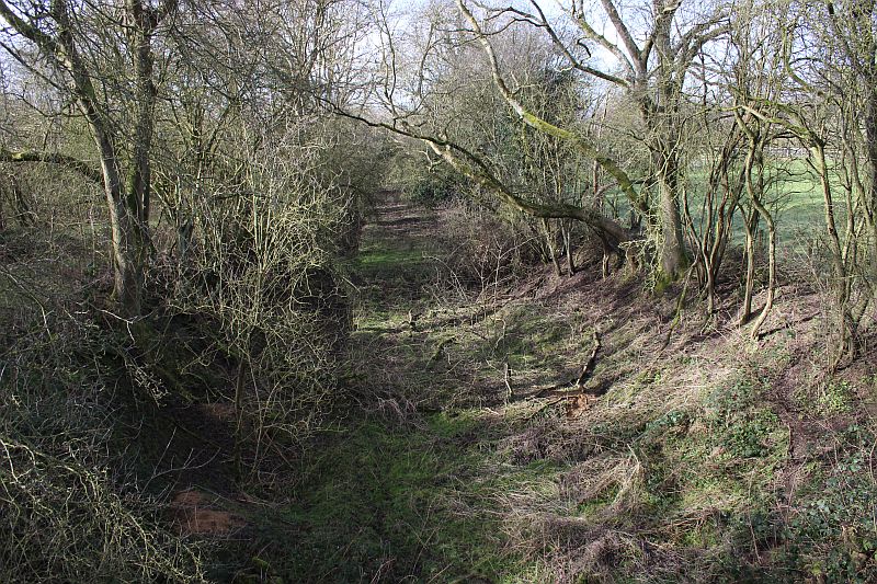
Towards Byfield station site. (22nd February 2019).
3rdMarch2023).jpg)
A clearer view in March 2023. Some clearing up has taken place. Compare ith above.
3rdMarch2023).jpg)
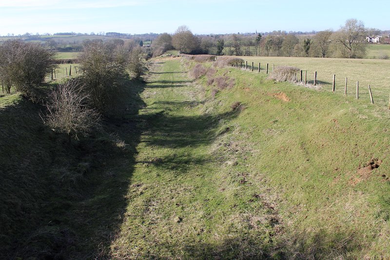
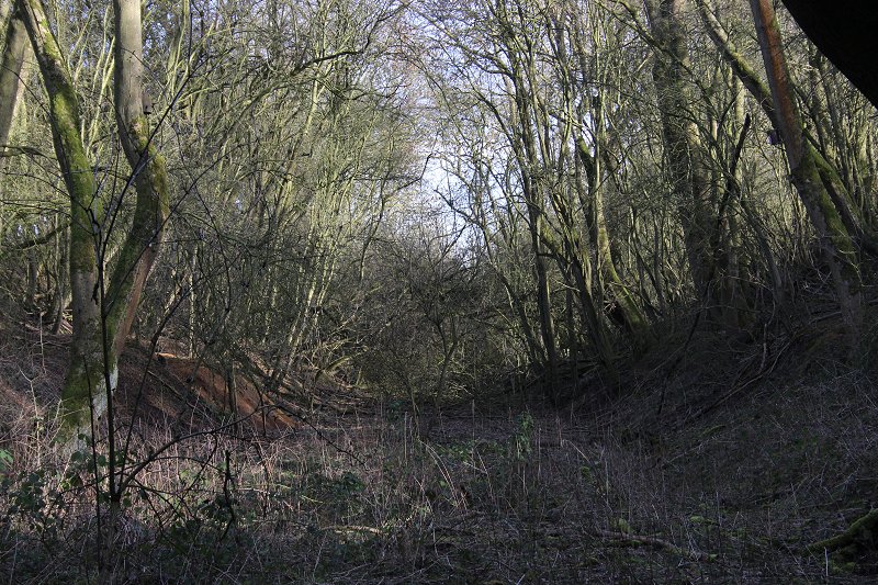
Eastern side view. March 2023.
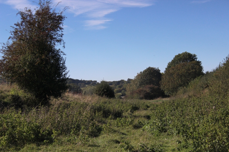
The track bed narrows for the single line towards Byfield.
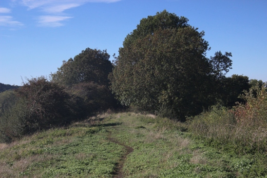
Looking back towards the over bridge at West Junction..
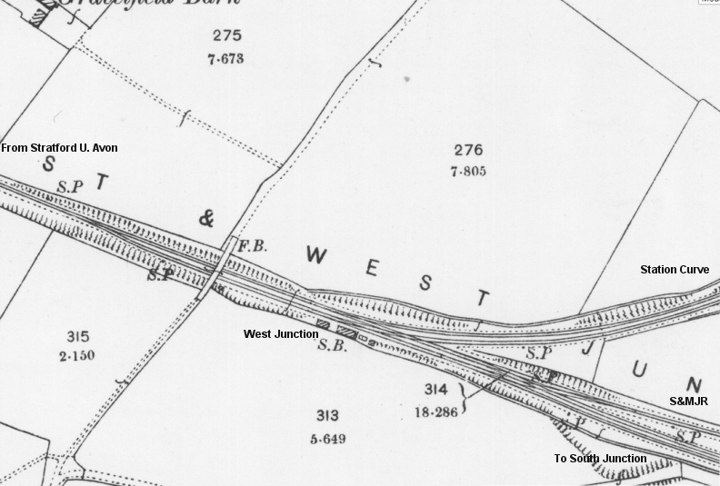
NLS map of West junction layout. Coming off the S&MJR branch the line splits into two just west of the over bridge and through
West Junction. By the signal box the junction turns off towards Woodford Halse station curve. It then splits for the single line
to Towcester and the double track carries on to south junction.
An Express coming off the S&MJ branch approaching Woodford West Junction. The train had just come off the single line
from Byfield. It was heading for Woodford station or perhaps directly to Towcester and Blisworth.This looks like an early
photograph but there is a Lion & Wheel motive on the tender, taking it from after Nationalisation. Possibly taken in the
50's. (Date & Author Unknown). (RailOnline.co.uk).
Back towards West junction and onto South Junction
A short clearance then into a very wooded area up to the gate by the equestrian building.
Back at the path into the Equestrian site where the two lines separated. The S&MJ single track, to the left by the car,
slowly rising to where it crossed the GCR mainline and the double track spur, straight ahead, to South junction passed
below the bridge. This road is the ex farm access crossing seen in the photo below.
Close to the same spot as the photo above. John Evans has caught the scene well after the track had been lifted.
The S&MJR climes up to the north of the two bridges and up to where it crossed the main line. The West curve
heads through the cutting towards South Junction. Between the two bridges is the gate that is now for the footpath
down this embankment to get onto the Woodford Nature Reserve by the road entrance of the equestrian site.
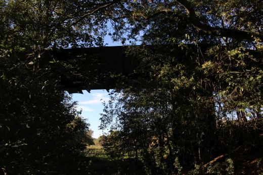
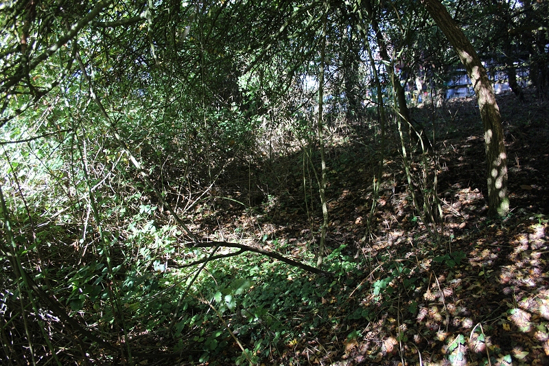
This time I also tried to get a few photos at the base of the S&MJR over bridge, which is rather over grown, dark and fenced off below
the bridge.
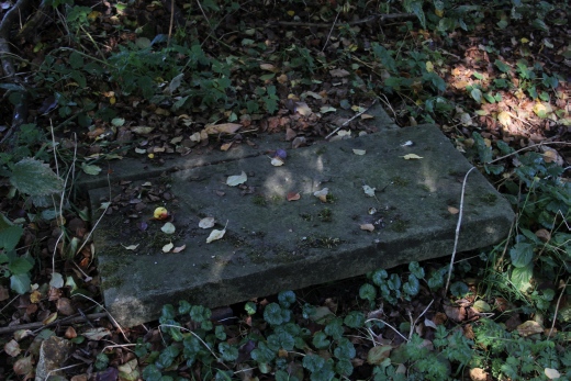
Left: Just inside the north gate. This slab is on the S&MJR track bed. Right: Fom this spot the S&MJ disappears within the trees to the left as it climbs up to the
bridge over the GCR main line.
The S&MJR Track bed by the equestrian as it climbs up towards the Over bridge on South Street. It is completely blocked.
Into the cutting towards South Junction. The S&MJR line is on the other side of the embankment on the left. Where it rises
to the bridge over the GCR main line.
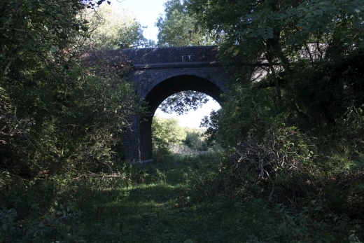
Approaching the GCR arch of the two bridges. Looking through the arch as the track bed curves through the cutting to South Junction.
===============================
Update April 2019
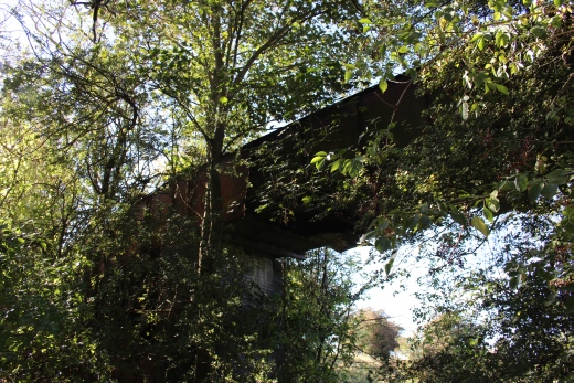
Base of the Ex S&MJR over bridge. Looking towards the Ex over bridge over the mainline towards Towcester. The Cutting
towards South Junction is to the far right.
Both: From track bed level towards the Ex S&MJR bridge over the Ex GCR main line. Looking over the fence.
From track bed level towards Woodford West Junction Site.
The three-arched bridge from track bed level. Towards South Junction site.
On the left is where you scramble down from the over bridge onto the track bed and the cutting towards South Junction.
Reverse view> Looking towards West Junction.
The track bed is walkable for a very short distance beyond the over bridge. The way is completely blocked between here and where
the branch crossed the main line.
From the over bridge, towards West Junction. You would need protection against
the stinging nettles to make it through to West Junction. It is much easier in the
Winter and Spring months.
And so, back up onto the two bridges for the walk back into Woodford Halse then head homewards.
A much more detailed view from my 22nd February visit. The "Dairy Farm" is now the Equestrian at the West Junction site.
======================================================================================
View from over the two bridges (22nd Feb. 2019)
Looking over the first (S&MJR) over bridge towards Towcester. The branch crossed over the GCR mainline. It looks walkable but is fenced off from the
west side of the railway bridge at track bed level. But it would be interesting to be able to walk up to where the railway bridge had been..
Looking over the west side of the over bridge towards Woodford West Junction. The S&MJR track bed is quite clear for some yards but too
overgrown to get through by the Equestrian.
Between the two bridges and routes. The ridge of land that follows between te S&MJR ad the Cutting towards Woodford South Junction.
You don't normally see this open as Horses are kept here. It was tempting to consider walking up to where the S&MJR crossed the main line
but the ground is wet, deep and smelly from the years of Horse use. However you would be in trouble if caught on this piece of land.
Looking over the Ex GCR bridge towards Woodford South Junction site.
==================================================================================
9. Woodford South Junction To S&MJR Over bridge
Other railway walks:
The Dundee & Newtyle Rlwy Walks Opened in 1831 the route had three incline planes. The first was from the terminal station on Ward Street,
up the Dundee Law, where there was also a tunnel. The second was the Balbeuchley incline at Rosemill and the third at Hatton that ran down to
Newtyle station. It was also the very first passenger train service in Scotland. Worked by Horse over the levels until the first steam engine was
purchased in 1833. Came under the Caladonian Railway with it's terminal moved to Dundee West station. Passengers service ended in 1952 and
the line totally closed in the mid 60's. The inclines were by-passed in the 1860's.The Cromford & High Peak Incline railway in Derbyshire has been luckier in having much of it's buildings, including an Engine House preserved. This
is what could have happened with the D&N, indeed, should have happened with at least one of the D&N inclines. However, the C&HPR gives an excellent
comparison of what the D&N would have looked like, albeit the inclines were only single track.Boddam To Ellon Branch (Walks) By Bill Reid. Ex GNSR branch line
Dyce To Fraserburgh and Peterhead Walks. Ex GNSR
Bath To Wellow Rlwy Walks Ex Somerset & Dorset Rlwy.
Contact: reidcrcwdr@talktalk.net
Hosted by www.theatreorgans.com