Catesby Tunnel South Portal. As at 21st July 2020).
By Bill Reid.
For this walk I took the train to Banbury then the No.
200 bus (Daventry) to Charwelton. Taking the official footpath from
just south of Charwelton
station site. The footpath runs all the way to just short of No. 5
air vent then a rough frarm access dirt road leads you to the 'B'
road from Hellidon
to Upper Catesby. This is the most difficult part of the walk as it
is quite a busy road with some sharp bends. There is no pavement but
has a grass
verge on both sides that varies a lot in height and width and is
quite rough most of the time. You need to take care, walk
facing the traffic and change
over a little way before entering a bend so that you are safe from
on-coming traffic and that drivers can see you as they approach from
behind then
return to face the traffic on the next straight. I have
numbered the Vents starting from the south tunnel portal from No. 1
to No. 5 heading northwards.
Catesby Tunnel South
Portal. As at 21st July 2020).
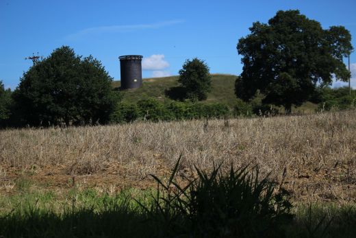
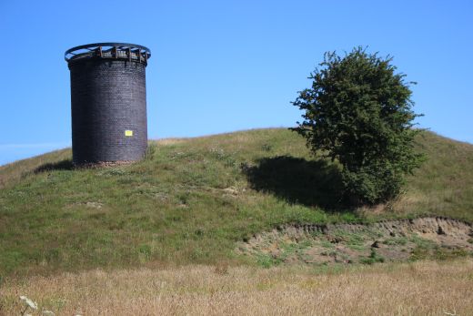
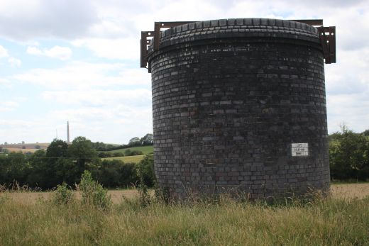
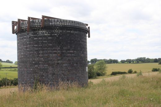
Vent No. 1. above the southern tunnel portal.
While the first part of the tunnel
as in the cut & cover method it is interesting just high they have
built the ground above the tunnel. It is a high and wide embankment of
soil and runs
the whole length of the tunnel, albet there are a couple of short gaps
along the way. You can walk over the op but it is private land and often
has cattle grazing along the top.
You can also walk along the side of the embankment or carry on along the
official foot path until you reach the main Hallidon-Upper Catesby
B road.
Please note that I walked along
the official footpath heading for the tunnel and viaduct. But on my return
I walked along the bottom of the embankment and also along the top.
These sets of photos are from both walks and give views from different
positions and heights.
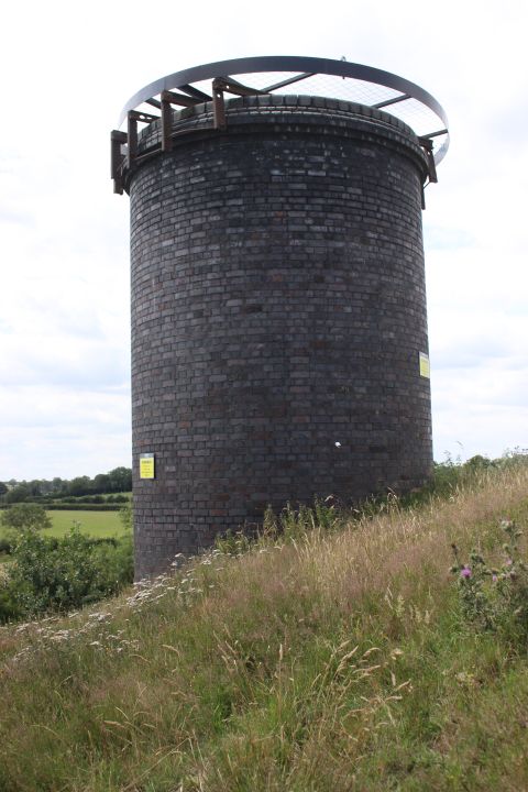
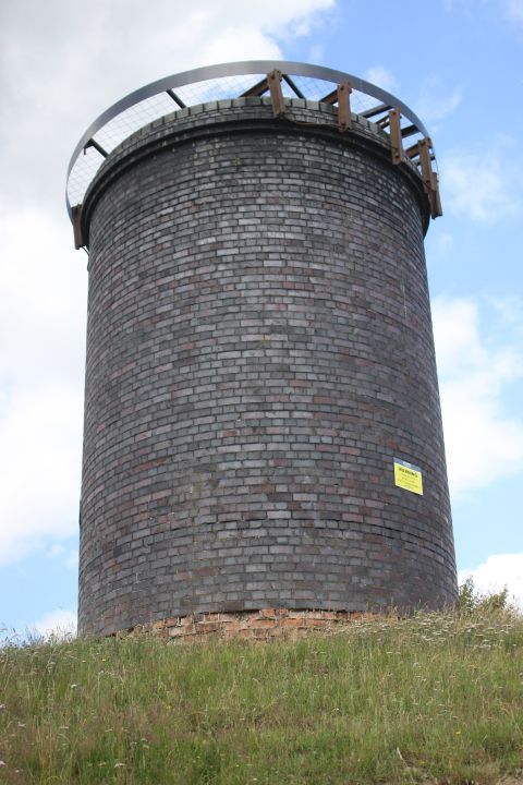
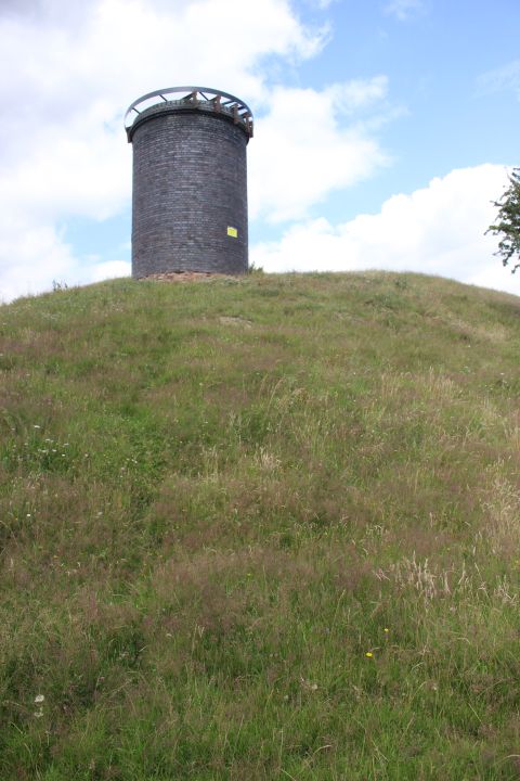
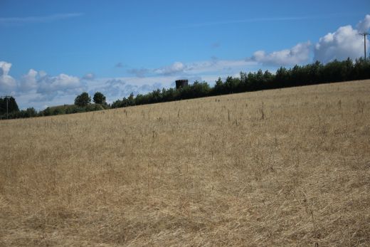
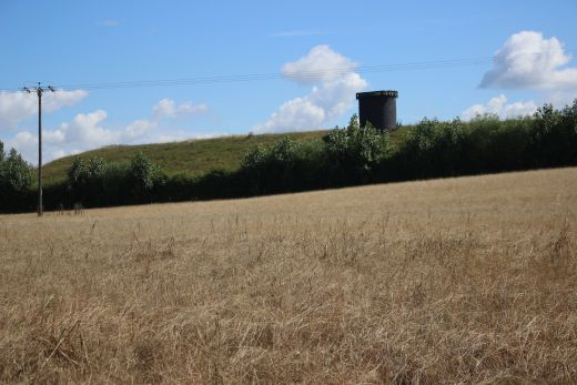
These scenes are from the official footpath. I kept to the path as I
wasn't sure that the way was clear along side the embankment. However, I
found that it was and
this is the path I took on my return to Charwelton.
=================================================
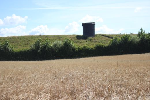
Vent No. 2. There is a gap in the embankment to the north.
This 20 second clip records the sounds going on within the tunnel of the work taking place on building the F1 Testing facility.
I have seen cattle grazing here but it looks as if they also have the
occasional Horse or Pony trial sat this
spot! Looking south towards Vent No. 1.
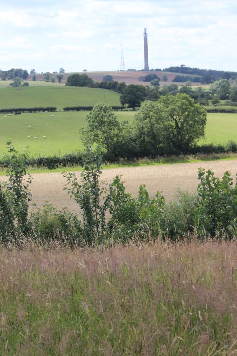
Telecomunication Tower at Hellidon. From Vent No. 2
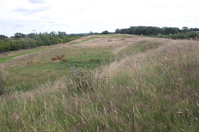
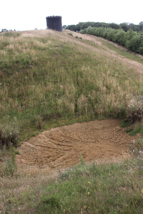
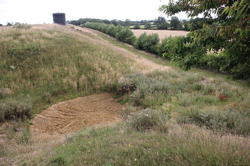
The embankment mound above the tunnel is anything but flat. Looking
northwards to the next gap in the embankment.
Looking back towards vent No. 2
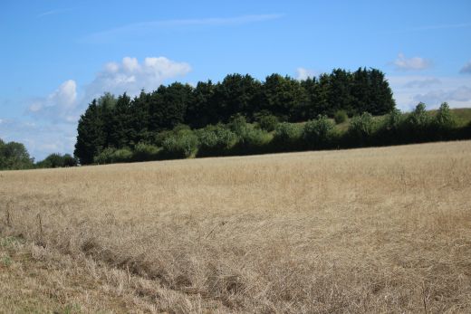
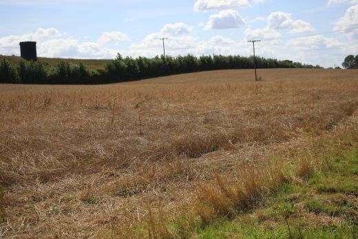
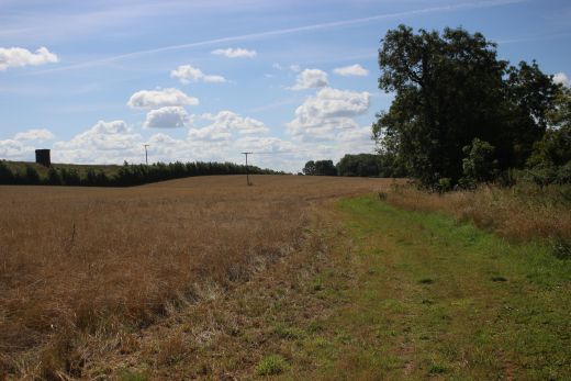
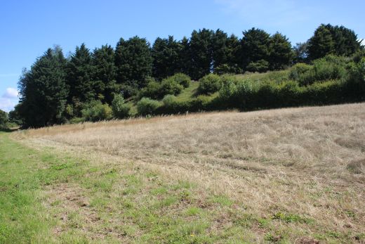
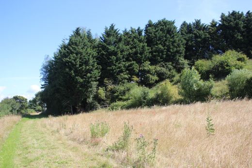
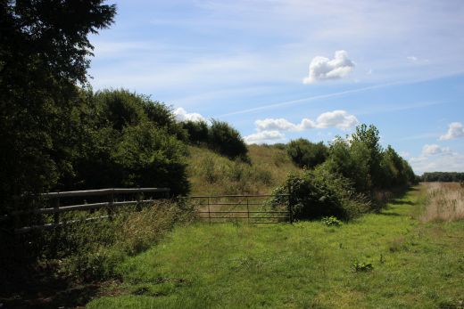
The official footpath from the south portal. Left: Looking northwards and
Right: looking southwards.One of the official way of getting to the top of
the embankment.
=====================================================
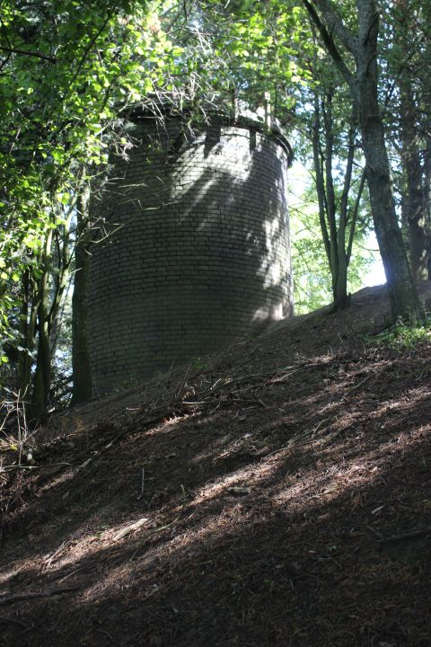
Vent No. 3. It is well hidden within the trees, sitting high on the
embankment
above the tunnel.
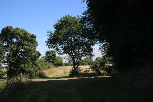
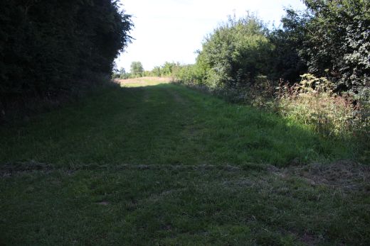
From this point on you take the farm dirt road which twists and turns on
the way to the B road.
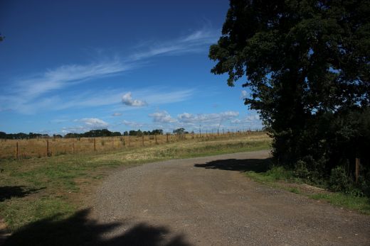
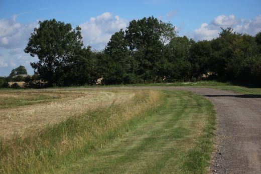
The twisting dirt path.
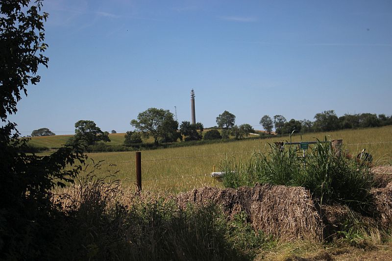
The telecommunications tower at Hellidon remains in view most of the way.
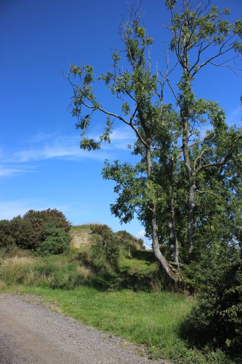
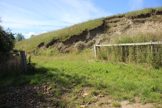
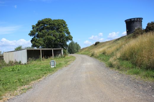
Vent No. 4.
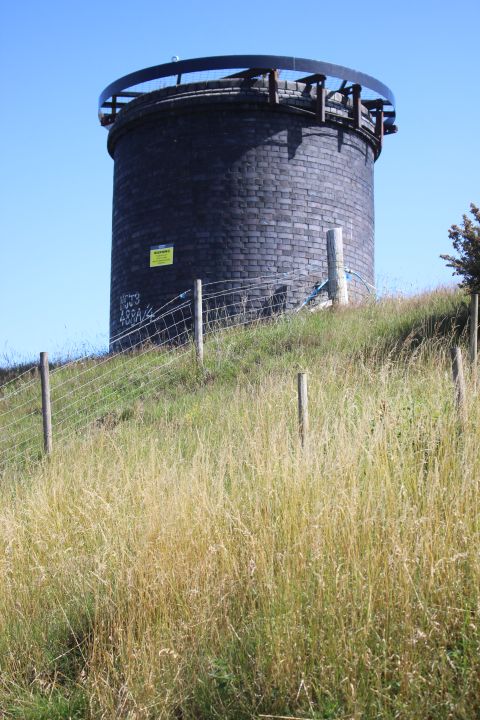
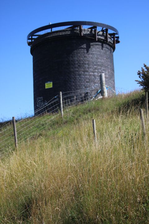
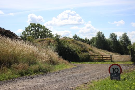
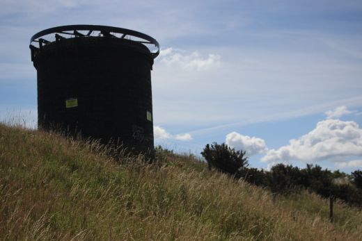
Vent No. 4. The dirt track cuts through the tunnel embankment at this
point.
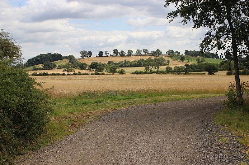
The countryside around is very picturesque in places.
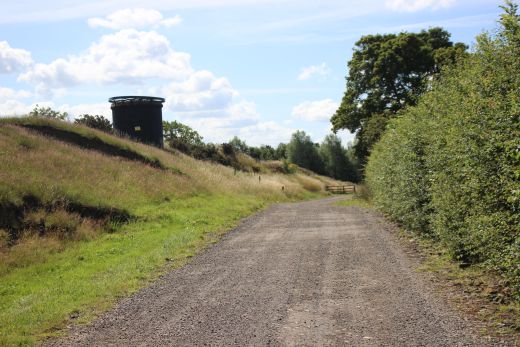
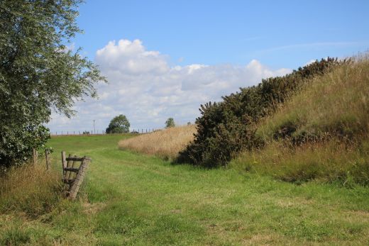
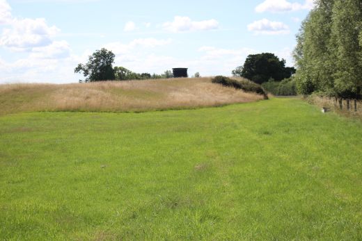
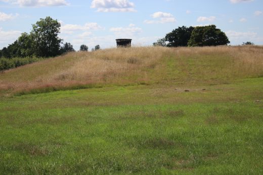
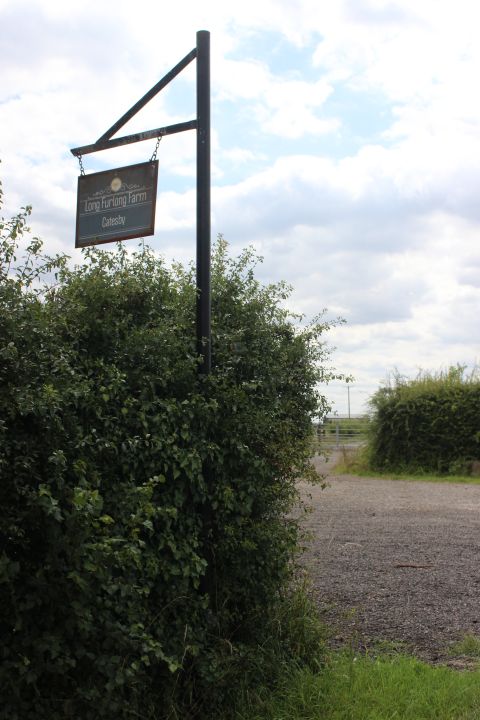
Junction with the Hallidon road by Long Furling Farm.
===================================================
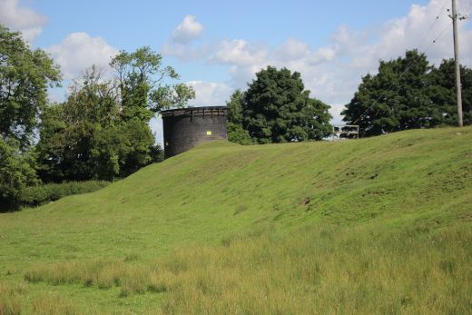

Vent No. 5. The final vent before reaching the northern tunnel portal.
Compared to the south end there appears to be quite a way between the
north portal and vent
No. 5. Enough gap to make me wonder if there had perhaps been six Vents!
And if not, why such a long gap? No. 1 vent at the south end is quite
close to the
tunnel portal in comparison. Perhaps this is the reason why Vent 5 is 15
feet in diameter whereas the others are only 12 feet in diameter.
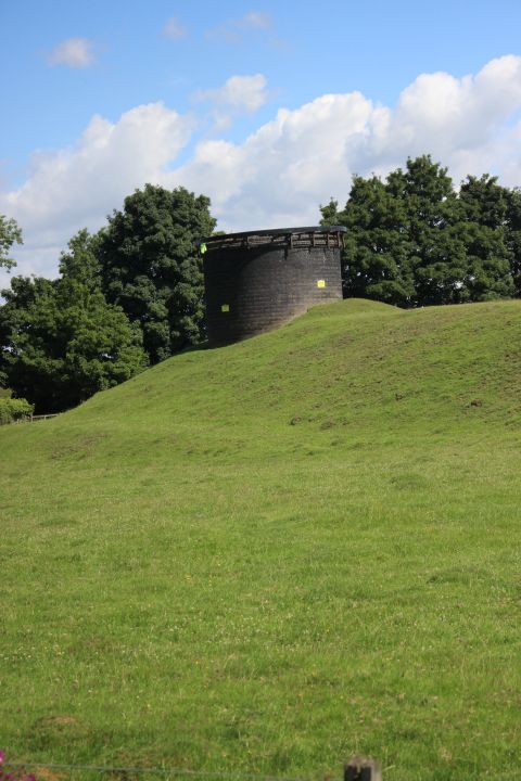
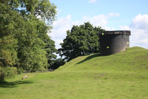

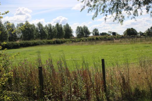
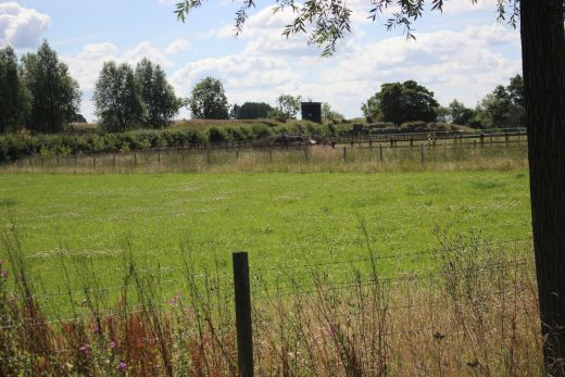
Looking back along the road to tunnel vent No. 4.
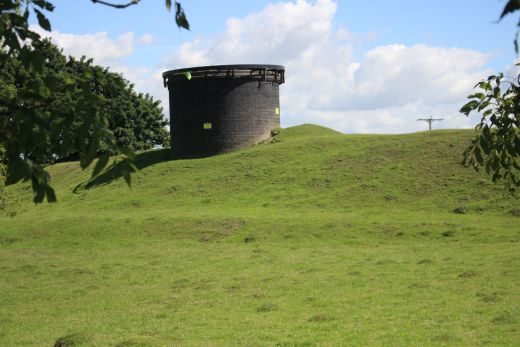
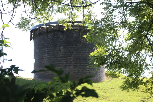
The final air vent No. 5. before reaching the northern tunnel portal a
Upper Catesby. The tunnel runs below the B road towards the portal.
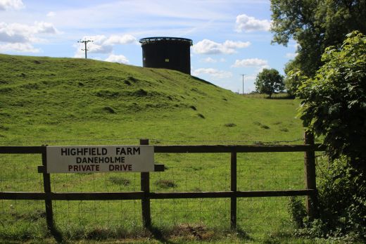
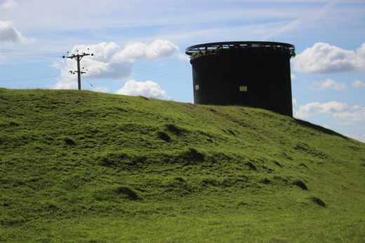
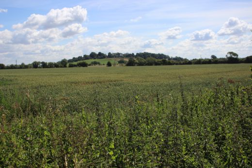
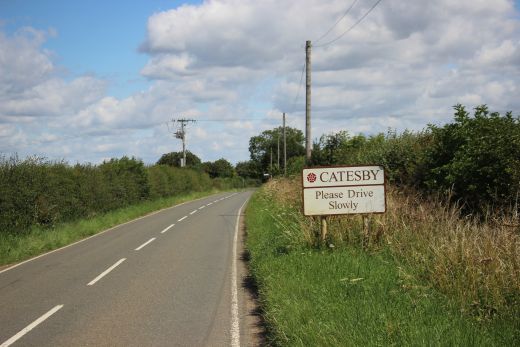
A good mile walk. This is a very busy road and you do need to take care.
Walk facing the traffic and be prepared to change sides before you come to
any sharp bend.
There is a fairish refuse of grass most of the way but quite narrow and
rough at times.
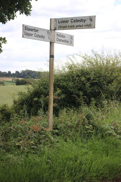
Road sign by the junction to Lower Catesby.
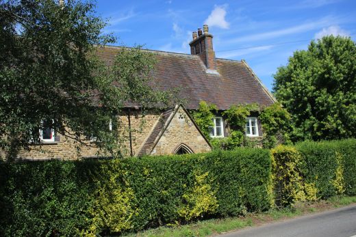
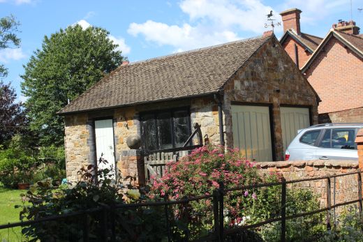
Upper Catesby Village. Just a hamlet. Short walk to the end of the road
and through a gate for the path that takes you down by the tunnel portal.
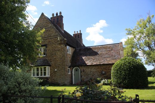
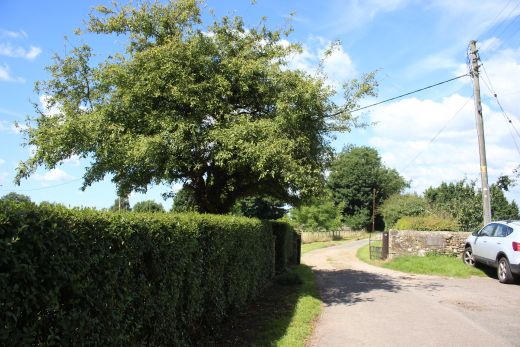
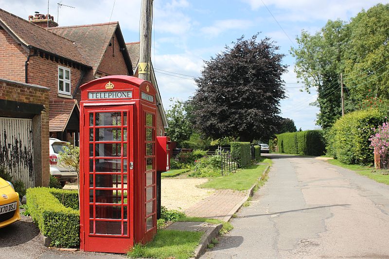
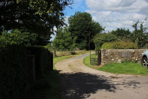
At the western end of the village road the path leading down to the north
portal of Catesby Tunnel. The road into Catesby
House is to he right but is privte ground. Catesby House became
infamous as it was here that Guy Fox and his gang planned
to blow up the Houses of Parliament. The annual Guy Fox night is
celebrated with the burning of effigies of Guy Fox and
letting of fireworks every November the 5th. The path drops very steeply
and ends just by the tunnel mouth. However you
have to get into the field through a damaged fence to walk down to the Ex
Farm access crossing where you can get onto the
track bed. If this fence is repaired you will need to continue walking
onward for a short distance where there is a side path
that runs down to the Ex Farm Access crossing. You the have to walk
back along the track bed to reach the tunnel mouth.
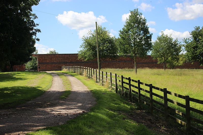
Catesby House is set within a high walled garden. It is private land.
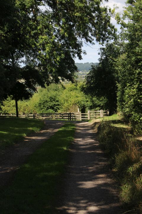
Passing Catesby House and approaching the gate taking the footpath down
tothe Tunnel site.
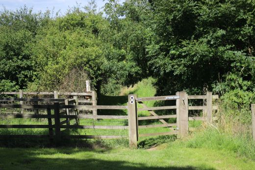
You then pass through another another gate on the footpath.
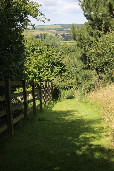
The path then drops steeply.
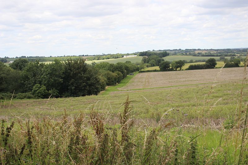
You need to get into the bottom of this field and follow the tree line at
the top of the track bed up to where you see tunnel
worker's van parked by an ex farm access crossing to get onto the track
bed then walk back to the tunnel mouth before
heading northwards to the viaduct.The tunnel mouth is just below the trees
on the left. On my return I enjoyed a few
minutes chat with the two workers who were enjoying a refreshment
break. They enjoyed listening to a few of my
memories traveling up the track bed by motorbike in 1967 and they
already appreciated the skill of work it took to build the
tunnel and the quality of the brick work. They were unaware
that the line was planned to be the first Channel Tunnel tunnel
crossing.
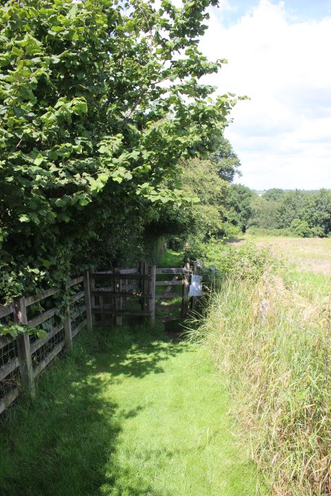
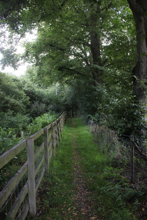
Watch for a damaged section of the fence on the right where you can get
into the field and walk down to the farm crossing site where you can get
onto the
track bed. If his fence is repaired you will not get to the Tunnel
mouth from here but take a long detour along a lane to the south of Upper
Catesby.
In fact, if you are traveling by car you can drive this lane and park on
the track bed by the Ex farm access crossing.this.
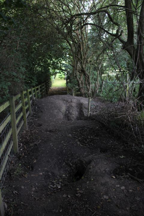
Bottom end of the lane. The damaged fence is just by this spot.
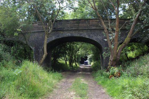
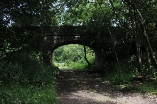
The three arch bridge north side of the tunnel portal. Known as Henry
Attenborough No. 1. Named after the land owner.
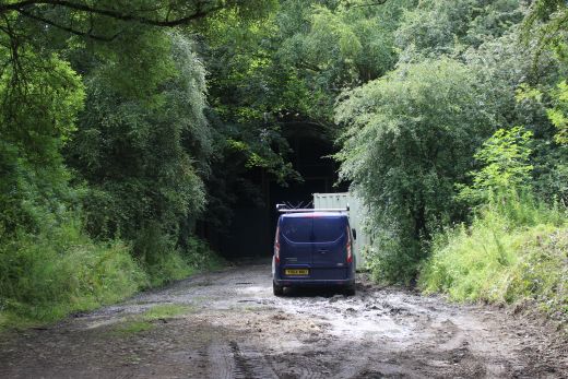
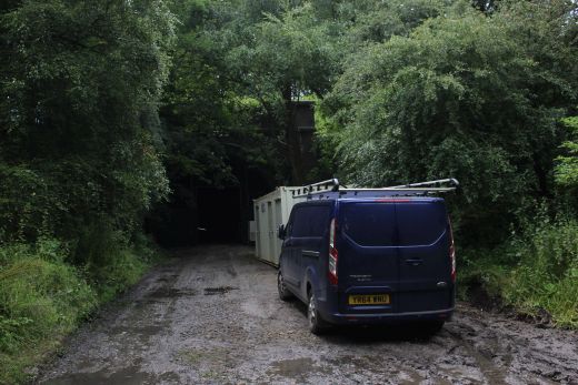
There are numerous worker buses parked along the track bed with coming and
going all the time. Inside the tunnel you hear work going on and the sound
of
machinery running.
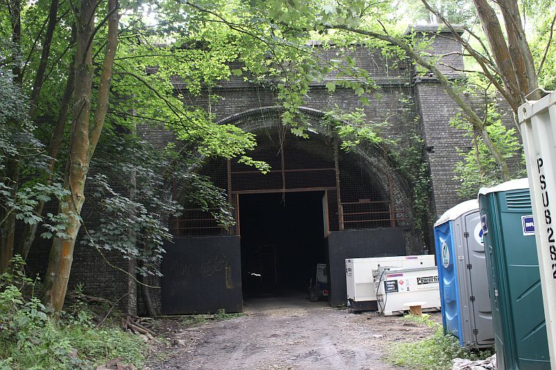
It was tempting to go inside but resisted as I am sure that I would have
been challenged by someone. It's a bit dark to see
much but there was a lot of activity going on within the tunnel.
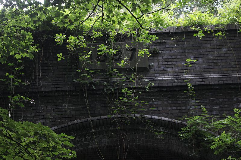
You can just make out the 1897 plaque above the tunnel.
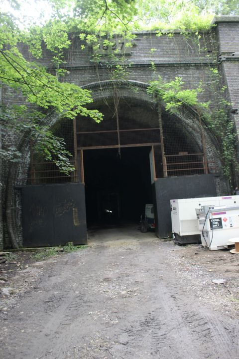
The area around the tunnel mouth and the three-arched access over bridge
is
wildly over grown and hardly reconizable as it was originally. Likewise
you can't
get into the tunnel as it is in use by the F1 workers with numerous
work vehicles
parked around. However, I was able to peer inside the tunnel which is
still quite
dark but you can hear the sound of machinery in progress.
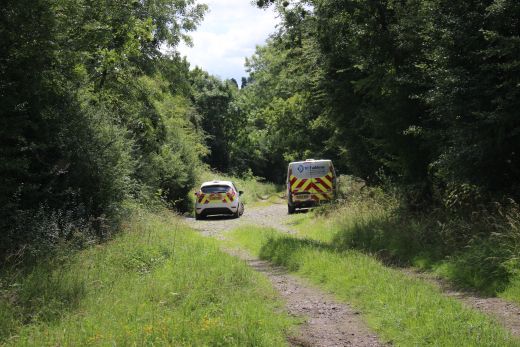
More tunnel worker vans parked on the track bed.
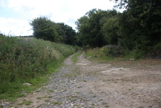

On the track bed. Left: looking back towards the tunnel mouth . Right:
northwards towards the viaduct.You can just see the first of the two gates
you have to
go through.
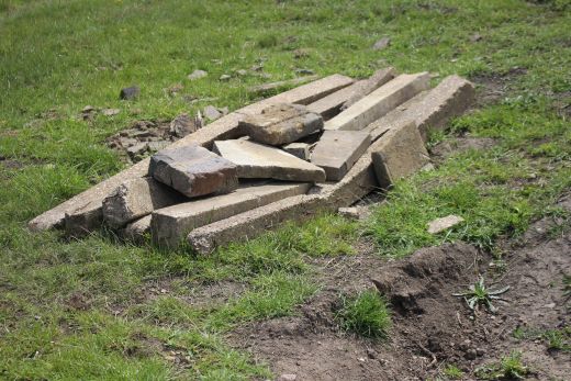
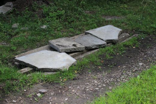
Two open drains covered over by Ex railway slabs and concrete posts for
safety.
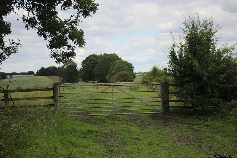
The two sets of gates that you have to get through to continue towards the
viaduct. Close the gates after you. Both ways.
==================================================
To: Charwelton to Catesby Viaduct Page Two
Other railway walks:
The Dundee & Newtyle Rlwy Walks Opened in 1831 the route had three incline planes. The
first was from the terminal station on Ward Street, up the
Dundee Law, where there was
also a tunnel. The second was the Balbeuchley incline at
Rosemill and the third at Hatton that ran down to Newtyle station.
It was also the very first passenger train service in Scotland.
Worked by Horse over the levels until the first steam engine was
purchased in 1833. Came under the Caladonian Railway with it's
terminal moved to Dundee West station. Passengers
service ended in 1952 and the line totally closed in the mid 60's.
The inclines were by-passed in the 1860's.
The Cromford & High Peak Incline
railway in Derbyshire has been luckier in having much of it's
buildings, including an Engine House preserved. This is what could have
happened with
the D&N, indeed, should have happened with at least one of the
D&N inclines. However, the C&H gives an excellent comparison
of what
the D&N would have looked like, albeit the
inclines were only single track.
Boddam To Ellon Branch (Walks) By Bill Reid. Ex GNSR branch line.
Dyce To Fraserburgh and Peterhead Walks. Ex GNSR
Bath To Wellow Rlwy Walks Ex Somerset & Dorset Rlwy.
The Test Valley Railway Walk. (New Mills To Hayfield).
All My Web Sites (Web Pages, Flickr and Videos).
Hosted by www.theatreorgans.com