By Bill Reid
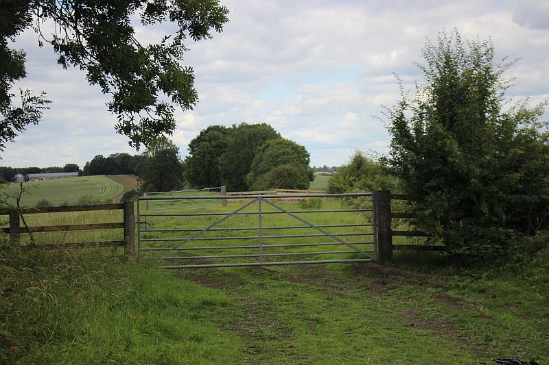
Walking northwards from the tunnel you first meet two
metal farm gates. It is easy to open the gates but please close them
again after use as there may be
cattle grazing in the fields. It's an easy walk up to the viaduct
but there is a gap due to a demolished under bridge just south of
the viaduct.


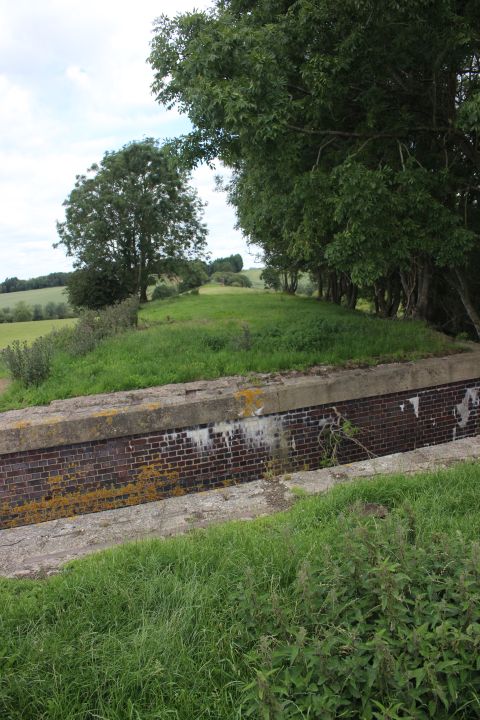
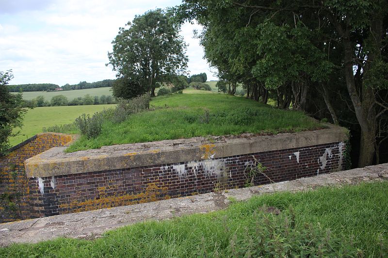
The bridge to the
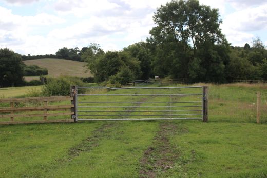
south of the viaduct has been removed, leaving a gap. You have to
drop down the west side of the
embankment and through a farm gate to get to the north side. It is a
quite steep climb back onto the track bed.
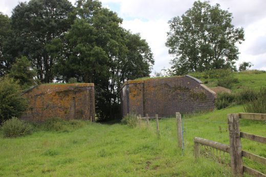
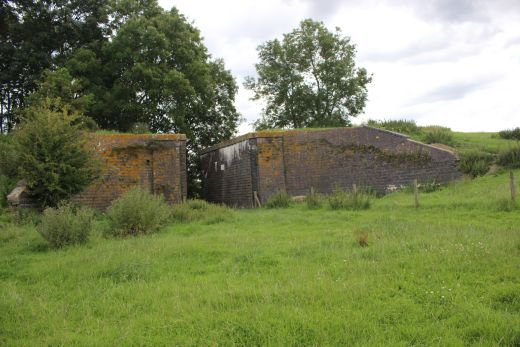
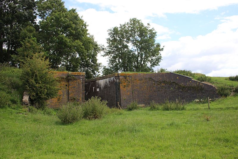
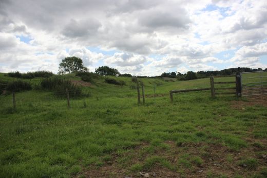
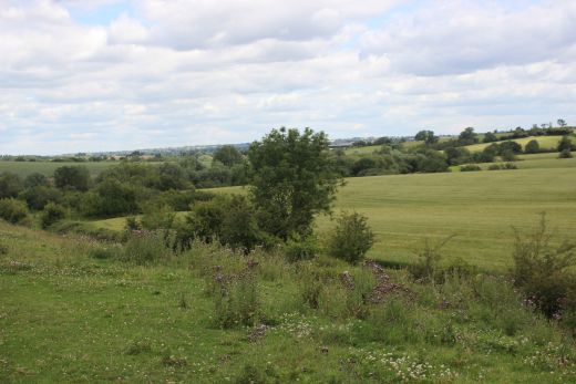
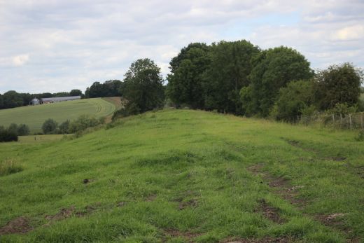
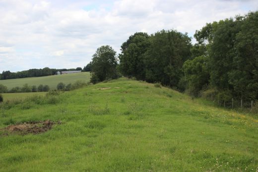
Left: Looking southwards. The farm gate is to the far right that gts
you up to te viaduct. Right: From the track bed looking westwards.
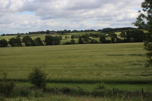
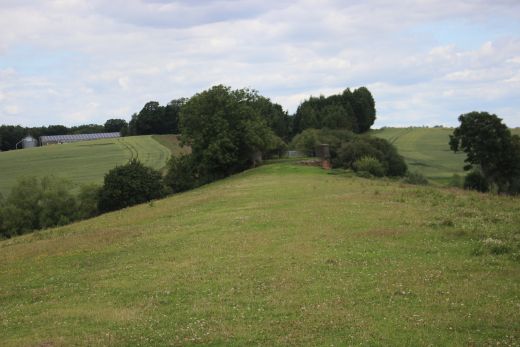
Left: The scenery looking eastwards. Right: Looking back along the
track bed to the tunnel portal. The gap at the under bridge can just
be seen.
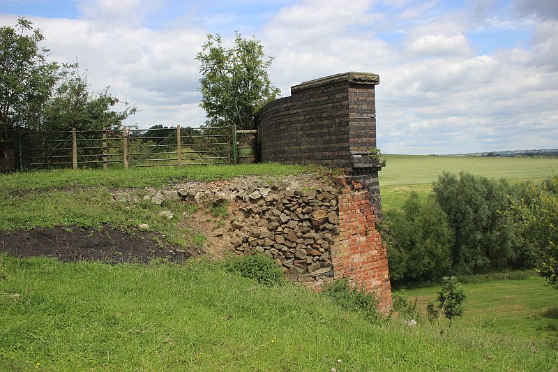
The embankment has been well eroded and has sunk on the East side
leaving the foundations to face the ellaments. You
could scramble over the south end fence but I'm not sure if you
could get off the viaduct at the north end. There is still a
little way where
you could continue to walk northwards. However, you can't get
through to Willoughby. I found being
here very interesting as it is 54 years since the last time
when I motorbiked from Woodford Halse to Willoughby station
site. The ballast had been quite leveled but still rough in places
but I manged without much of a problem. Catesby Tunnel
was done in first gear. As soon as you tried to go into second the
roughness became very unstable. My head light was
next to useless in
the sooty climate.The weather had been similar in that it was
heavily overcast and bleak.
That was the day the Military tried to blow up Woodford
depot and failed. It was all over very quickly. There was the
explosion, a great cloud of dust and when it cleared the depot
roof had simply raised and fallen back into place.
They gave up and left it to another day. With a
lot of time on my hands I decided to see how far I could get along
the
track bed, northwards. I wasn't expecting too much. Charwelton would
have been acceptable. When I reached the
tunnel the track bed looked reasonably clear and so I just kept
going. It was quite an experience. Just a pity that
I didn't have a camera at the time.
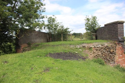
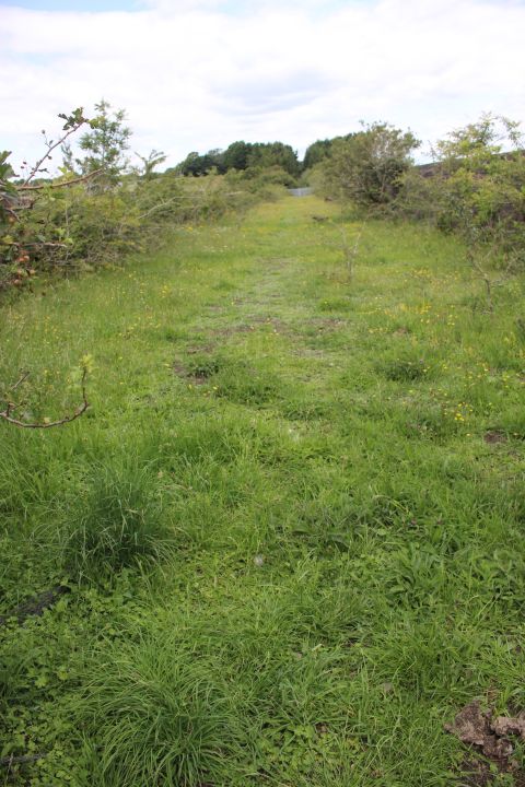
Looking along the Viaduct, northwards. It is difficult to get onto
the
viaduct and even then the track bed is so low that it is
impossible to see
over the top. There is an even stronger and higher fence at the
north end.
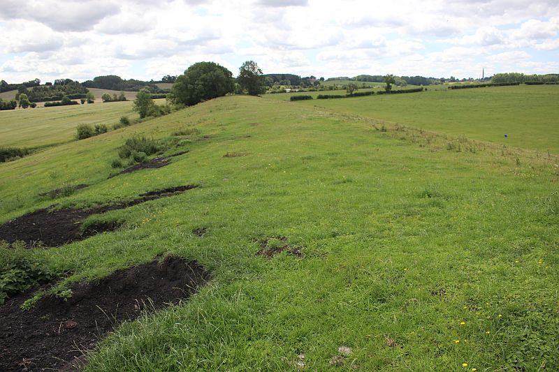
Showing the scale and height of this embankment. Just think of the
time and effort it took to build these embankments
and track bed. What a waste.
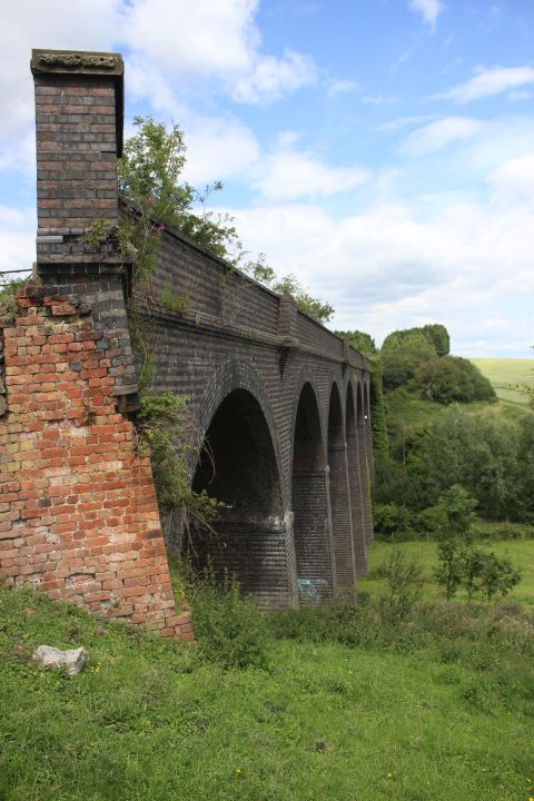
It is a quite steep drop down the east side of the viaduct and a
hard
climb back up. It would be much easier to stay at ground level from
the
removed under bridge and walk completely up to and around the
viaduct It is a lot easier to get back up on to the tracked from the
west side.
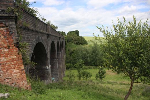
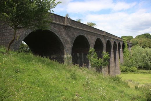
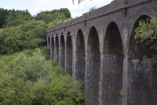
The river Leam runs through the center of the viaduct.

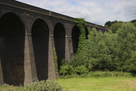
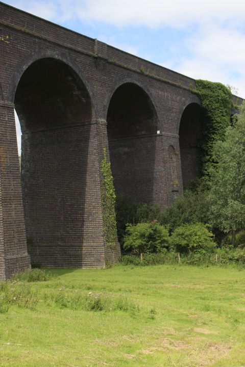
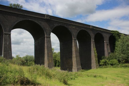
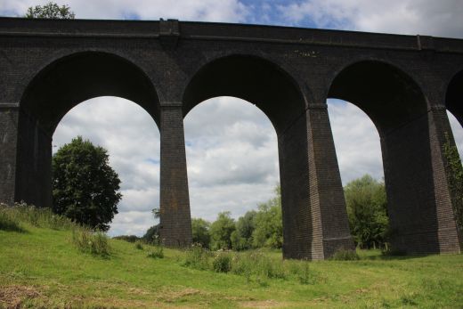
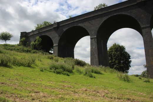
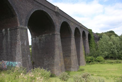
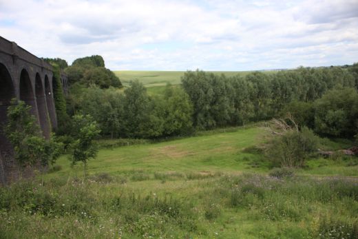
Left: The eastern side of the viaduct, towards Willoughby. Right:
Sat at this spot on the south end of the viaduct for some refreshments.
Looking south towards the
tunnel mouth.
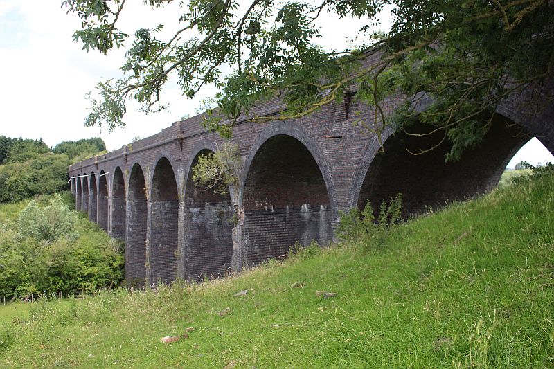
West side of the viaduct. Looking northwards.

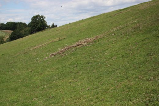

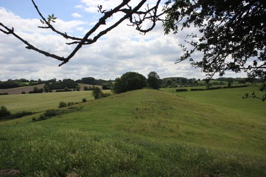
Two views showing the height and scale of this grand embankment. Left: You
can just make out the viaduct. Right: The embankment with the track
bed running
south wards. Both the sites of the tunnel portal and the viaduct are very
interesting to visit. I do plan to go back to this site and to possibly
manage to venture
northwards as far as it is possible towards Willoughby.
=================================================
Back to Charwelton to Catesby Tunnel & Viaduct Index
Other railway walks:
The Dundee & Newtyle Rlwy Walks Opened in 1831 the route had three incline planes. The
first was from the terminal station on Ward Street, up the
Dundee Law, where there was
also a tunnel. The second was the Balbeuchley incline at
Rosemill and the third at Hatton that ran down to Newtyle station.
It was also the very first passenger train service in Scotland.
Worked by Horse over the levels until the first steam engine was
purchased in 1833. Came under the Caladonian Railway with it's
terminal moved to Dundee West station. Passengers
service ended in 1952 and the line totally closed in the mid 60's.
The inclines were by-passed in the 1860's.
The Cromford & High Peak Incline
railway in Derbyshire has been luckier in having much of it's
buildings, including an Engine House preserved. This is what could have
happened with
the D&N, indeed, should have happened with at least one of the
D&N inclines. However, the C&H gives an excellent comparison
of what
the D&N would have looked like, albeit the
inclines were only single track.
Boddam To Ellon Branch (Walks) By Bill Reid. Ex GNSR branch line.
Dyce To Fraserburgh and Peterhead Walks. Ex GNSR
Bath To Wellow Rlwy Walks Ex Somerset & Dorset Rlwy.
The Test Valley Railway Walk. (New Mills To Hayfield).
All My Web Sites (Web Pages, Flickr and Videos).
Hosted by www.theatreorgans.com