Back To Radstock Collieries Index
CLANDOWN COLLIERY TRAMWAY (Radstock)
(1811 to 1929)
From visits in 2020 and 2021)
PART TWO
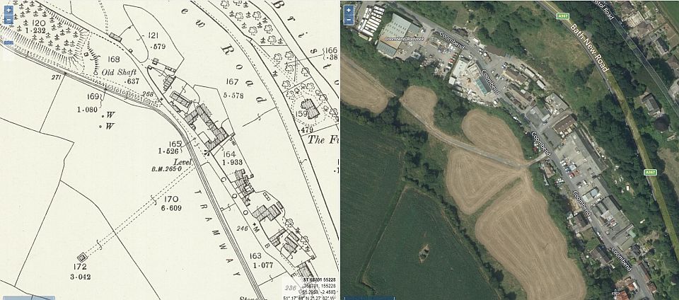
Further along Coomb End to where there was an old mine shaft. (NLS Maps).
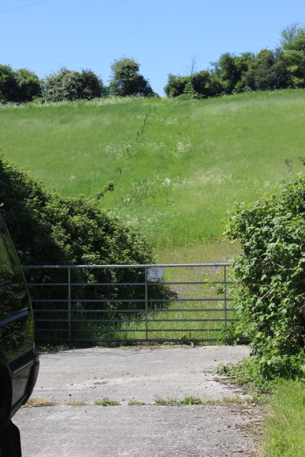
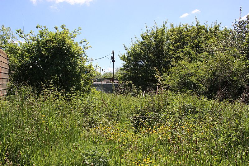
From an opening that once was a foot path that is now fenced off as
private land is where the branch line continue on to terminate at
Clandown colliery. It is a long steep climb up the Coomb End road.
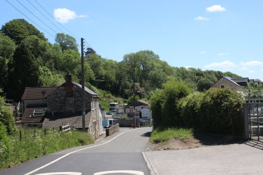
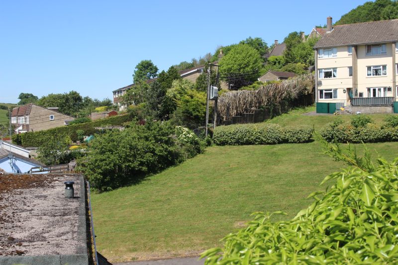
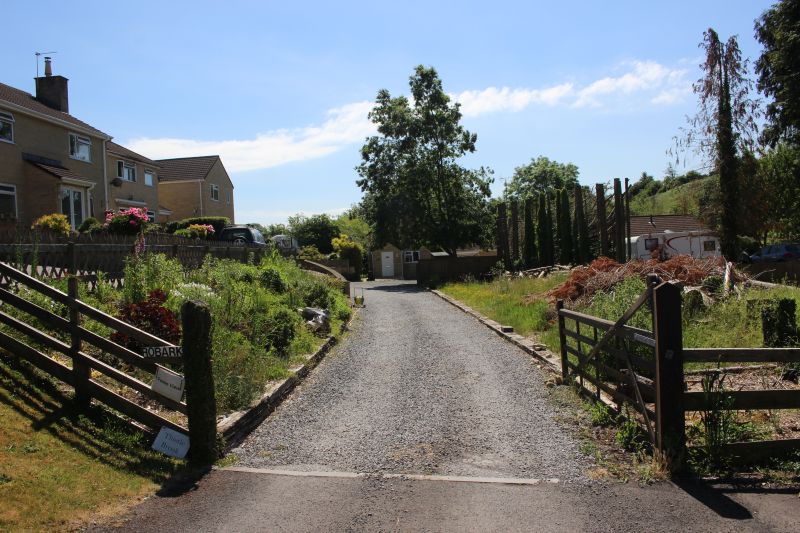
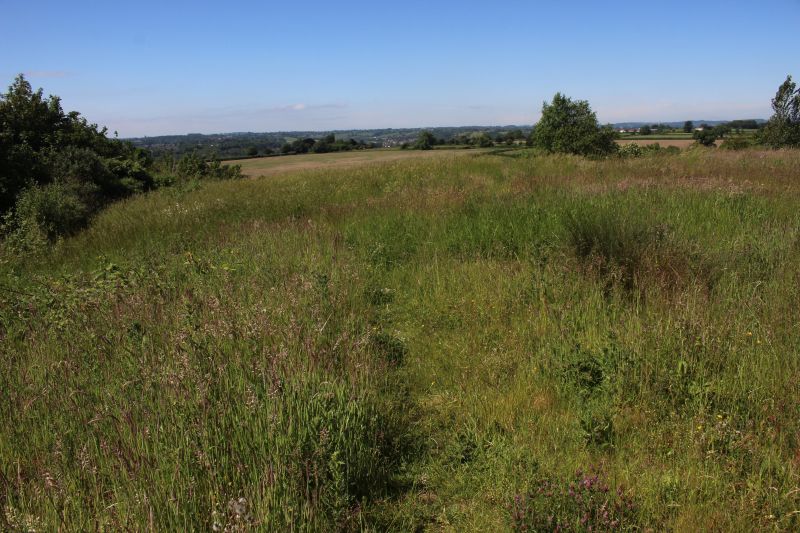
A shortway along Coomb End and another open area where you would have seen
the track bed.
Left: A wider view of the space above. Right: Same spot looking down Coomb
End towards Radstock center.
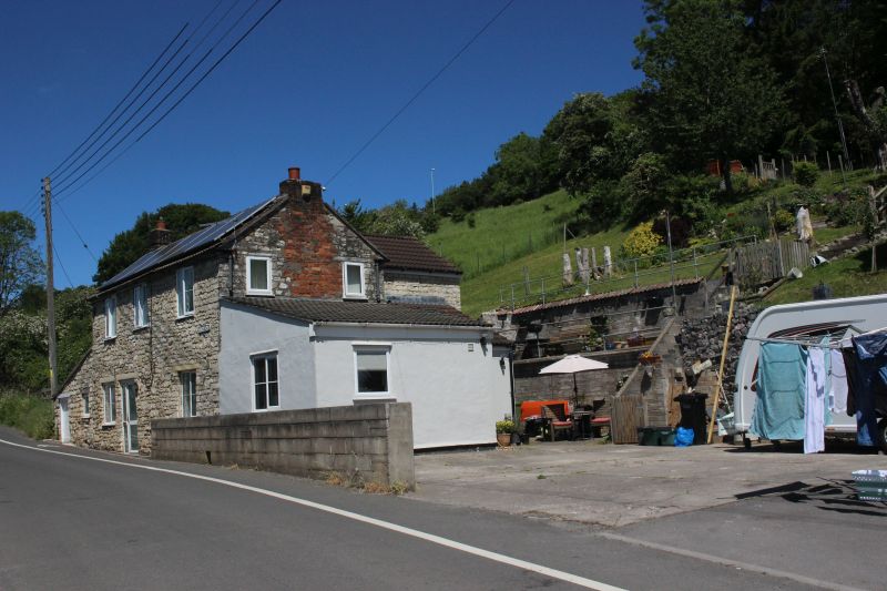
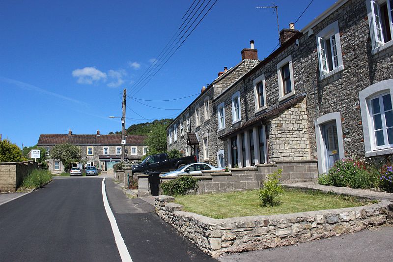
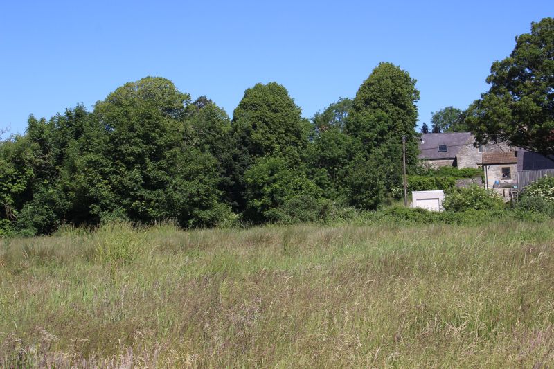
On the opposite side of Coomb End is the remains of what was stables
for Middle and Clandown collieries.
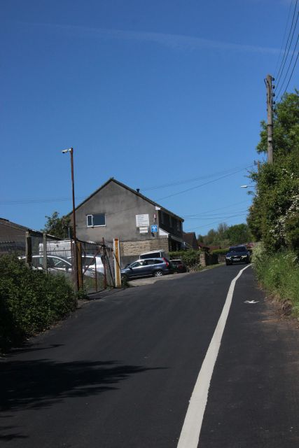
Right: From here the road starts to climb quite steeply up to Fossway
where the incline to Clandown Colliery began.
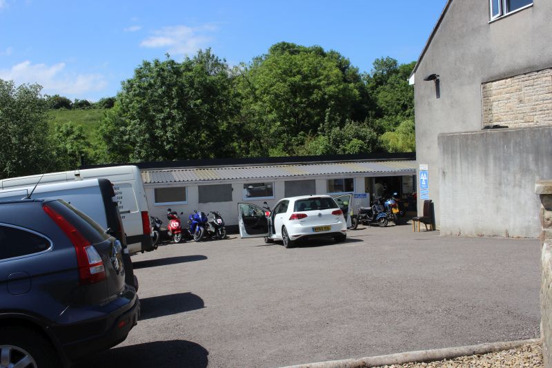
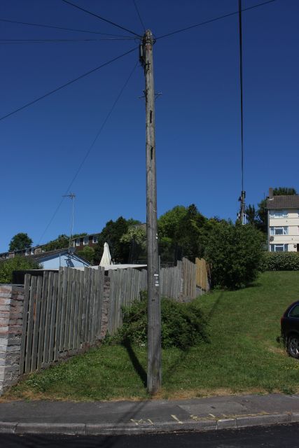
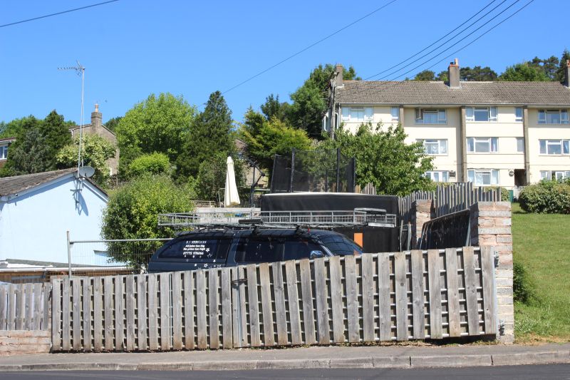
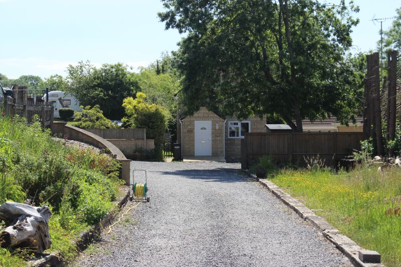
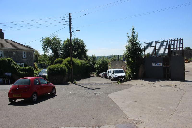
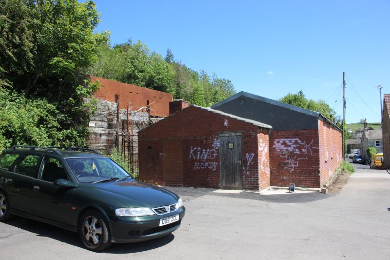
Another modern building stands on the old track bed which was the exchange
sidings.
Ex S&DR exchange sidings. NLS Maps).
On the Ex sidings track bed. Looking southwards towards Middle Pit.
Opposite view northwards. Where the wagons were attached/detached from the
wire rope of the Incline up to
Clandown Colliery.
Near the top of Coomb End is a lovely group of Ex miners houses. The side
road is named Old Pit Terrace which suggests that
they were used by miners of the old pit further down Coomb End as well as
possibly Clandown Colliery.The road curves
sharply to the left around the facing cottages before dropping down to
the road junction at Fossway.
From the summit of Coomb End just prior to dropping down to the junction
with the Fossway you see the incline climb past
the flats on Whiteheart Row on it's way up to Clandown Colliery. Top right
are the trees of the coal batch on the colliery site.
The scene on Fossway where the final section to the tramway was on an
incline plain where wagons were raised and lowered
by a stationary steam engine. The line crossed the Fossway on the level
and followed the fence, seen here climbing up the
incline track bed remains. The road on the left is Coomb End as it comes
up from the center of Radstock and drops onto the
Fossway.
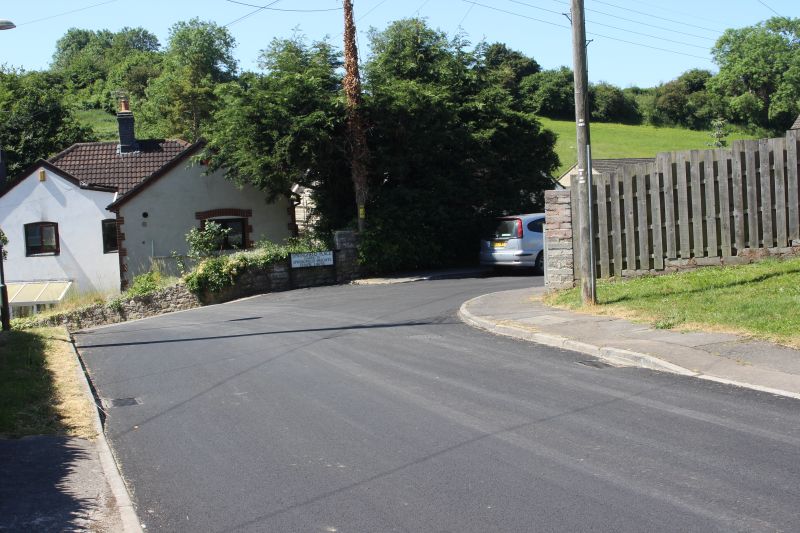
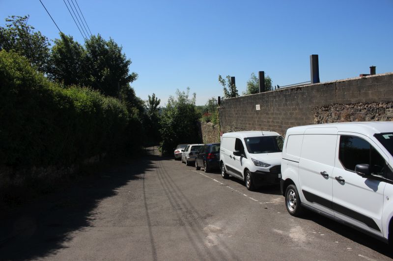
At the bottom of the Fossway and the junction with Springfield Place the
incline was on a level crossing.

From the level crossing down to the exchange sidings where the incline
began.
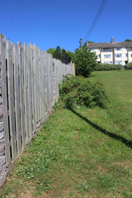
This had been the northern end of the sidings. It is now private property.
This would have been a busy place at times with wagons being attached and
detached from the incline wire rope.
N.B. The row of sleepers used as edging, on the right.
============================================================
.
As you can't walk the incline you have to walk up the equally steep
Fossway to the junction with Chapel Road that takes you back on the
incline
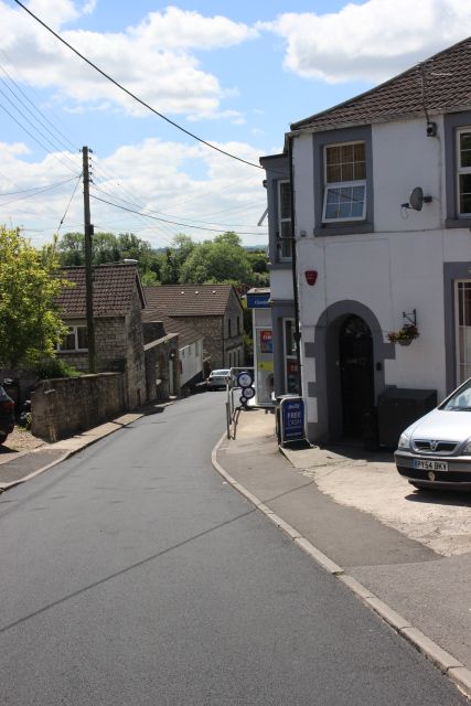
Looking down the steep Fossway from the road junction by the Co-op shop
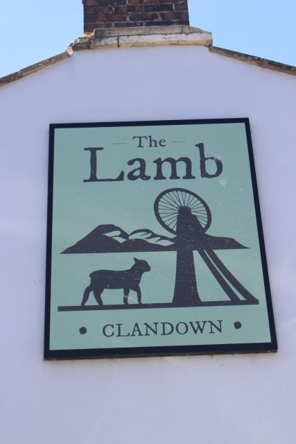
and the Lamb Inn.
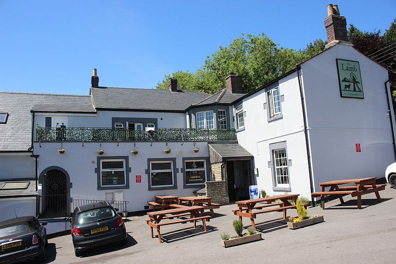
The Lamb. It looked quite inviting but was a bit early for beer that was
kept for a bit later in the day.
===========================================
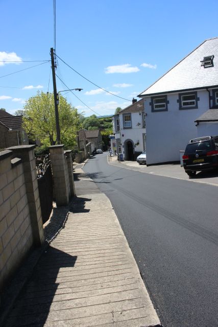
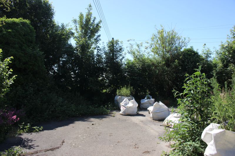
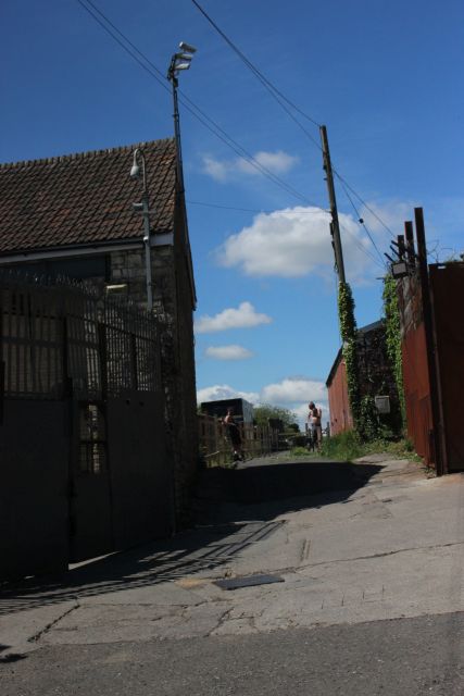
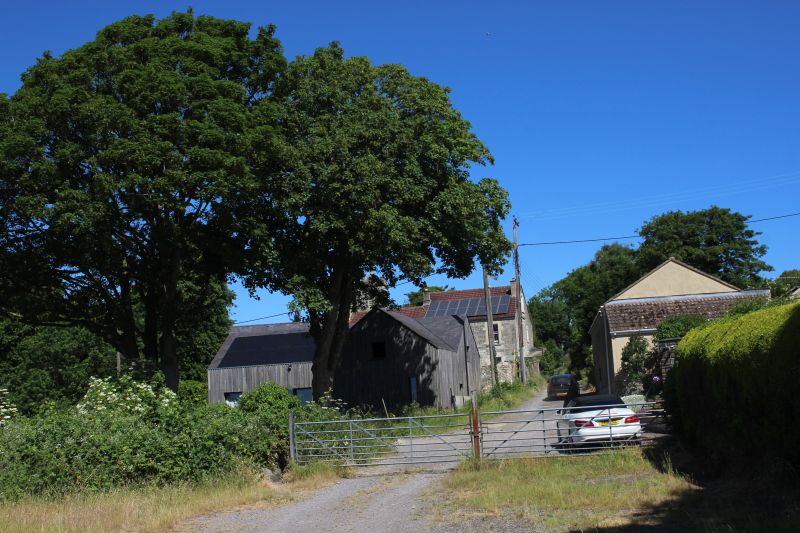
Walk along Chapel Road back onto the incline just below the summit.
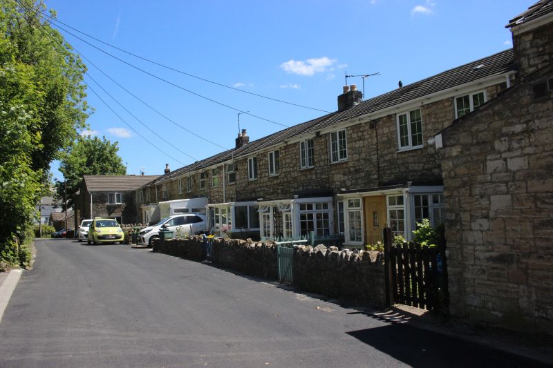
Ex Miner's homes on Chapel Road..
The coal depot grounds looking across the incline track bed.
Looking down the incline to where it is blocked off, There is an old
school building still in situe.
The end of the line! The incline continued down to the level crossing at
Fossway and Springfield Road.
It will be possible to see the way more clearly during the Winter months,
I would think!.
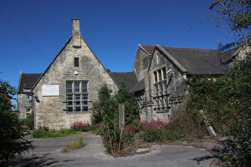
The old school. It still has the sign "C of E Primary School"
but doesn't appear to be occupied.
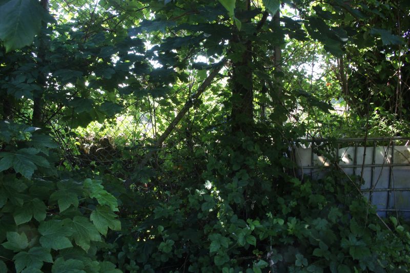
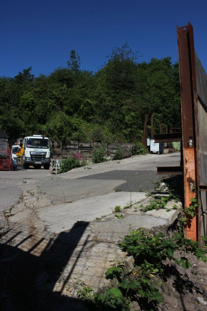
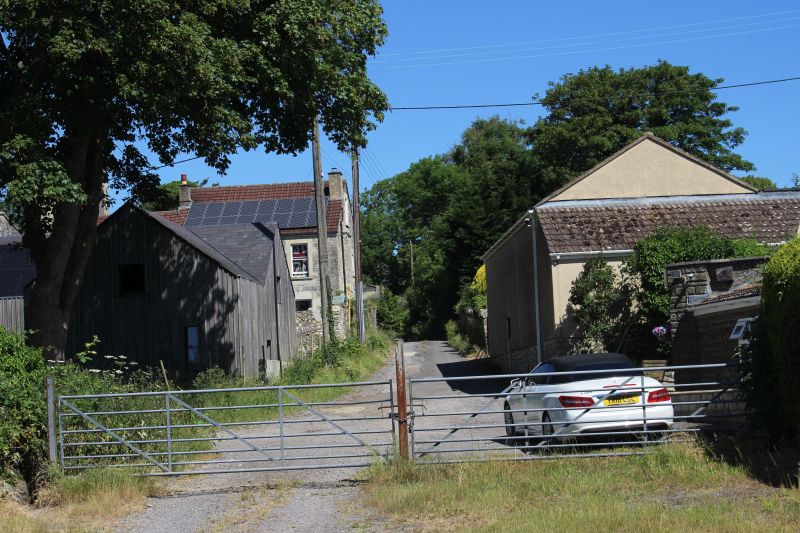
The walk back up the incline.
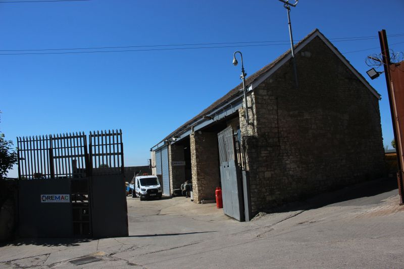
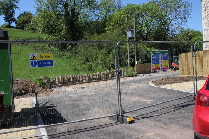
Another original building in use by a private business.
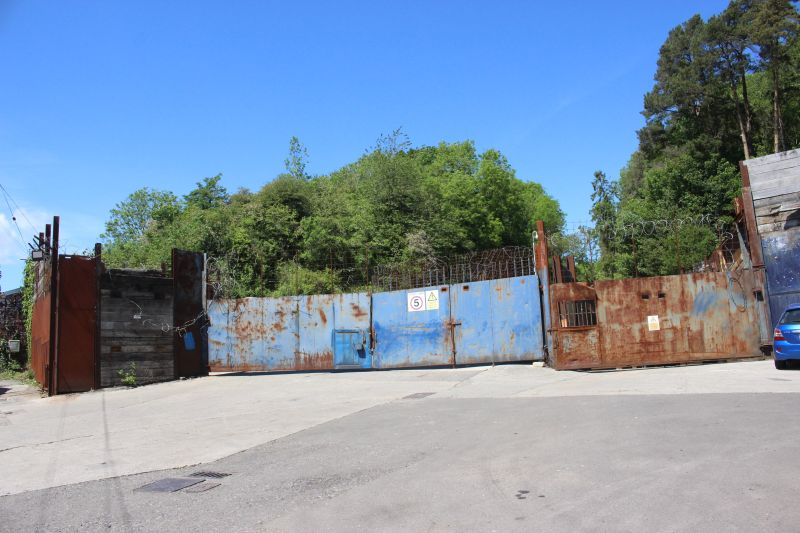
On the old incline at the end of Chapel Road and the final climb up to the
coal mine. It is a private work site and is completely
barred to pedestrians.
Thankfully there is a barred window where you
can have a look at what it looks like on the final climb up to the summit
then leveling out for the
colliery itself.I was able to poke the camera lens through the bars and
snap a couple of photos for interest.
The site is obviously in use. This is at a slight angle but you see the
concreted incline rising.
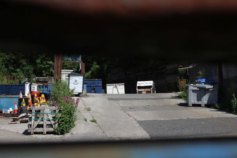
A more level view and the steepness of the summit is noticeable then
starts to level out for the final dash to the
summit and the wagons being brought to a stop.
CLANDOWN COLLIERY SITE
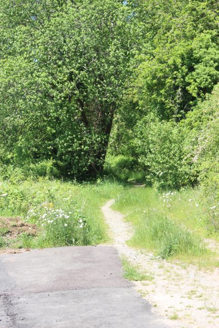
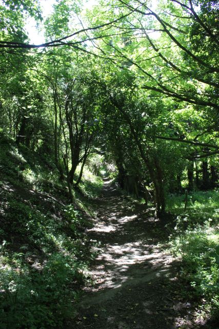
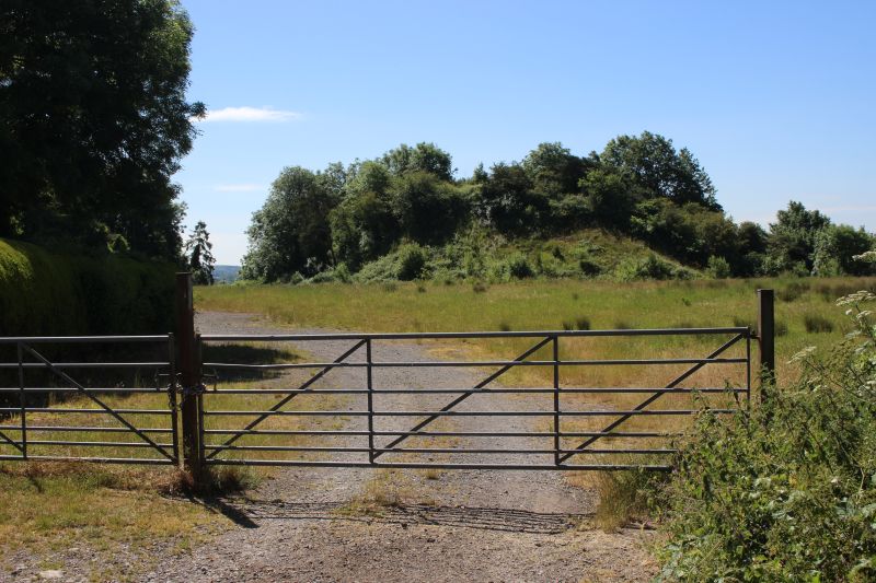
With the incline locked off the way up to the colliery site is via
the path
leading off from the end of Chapel Road. Continue along the footpath
to a gate that takes into a field below the coal batch and follow
that
until you come to an opening by a ruined shed that will take you
up the
steep climb onto the site.
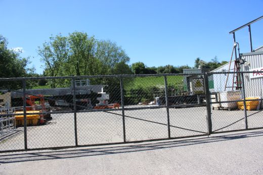
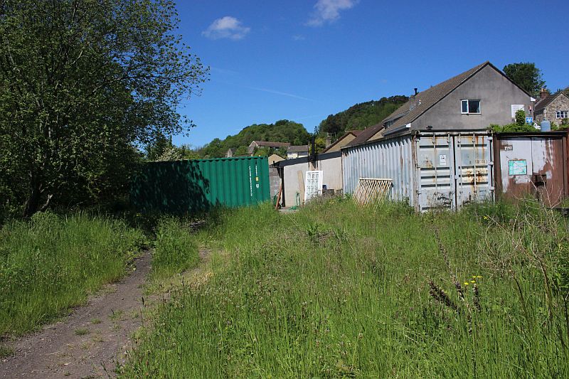
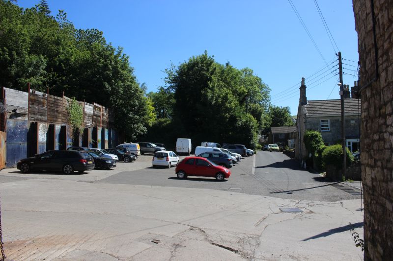
Remaining coal depot buildings. They are being reconditioned by a
local group.
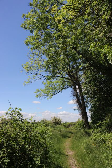
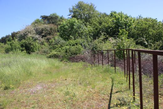
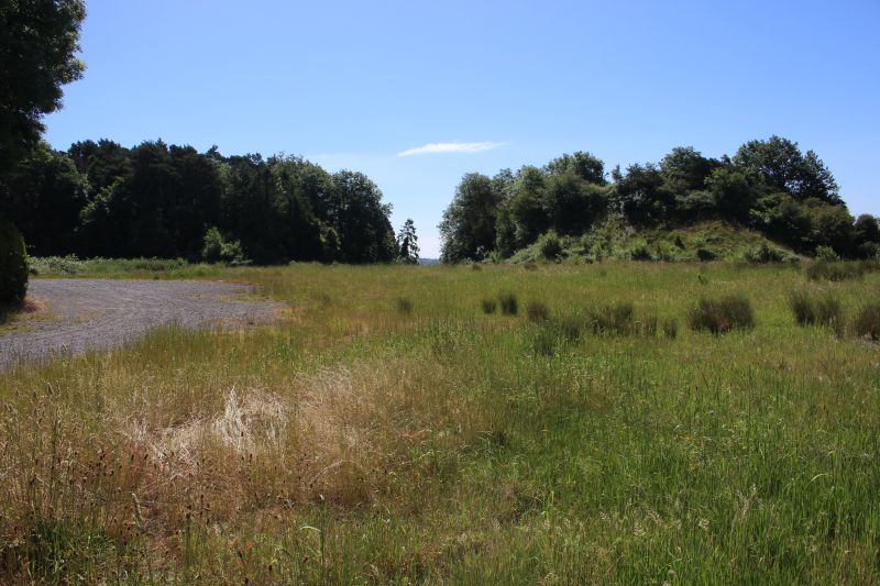
The footpath that takes you around the base of the western coal batch and
the steep climb up to the colliery site.
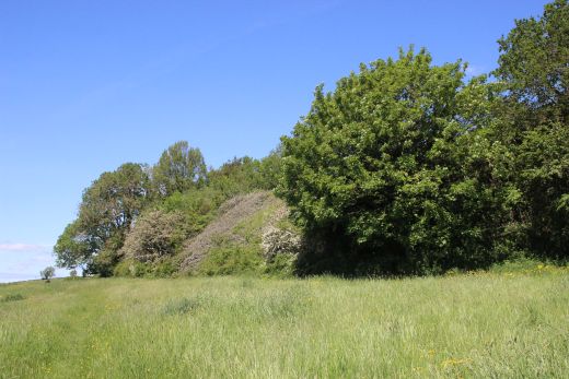
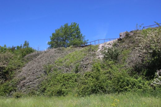
Below the coal mine site and the western coal batch.
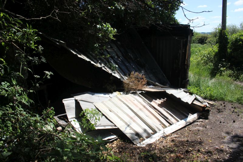
A ruined shed just before the climb up to the mine site.
The steep path that takes you up to the mine site. It can be blocked
when very wet.
CLANDOWN COLLIERY SITE
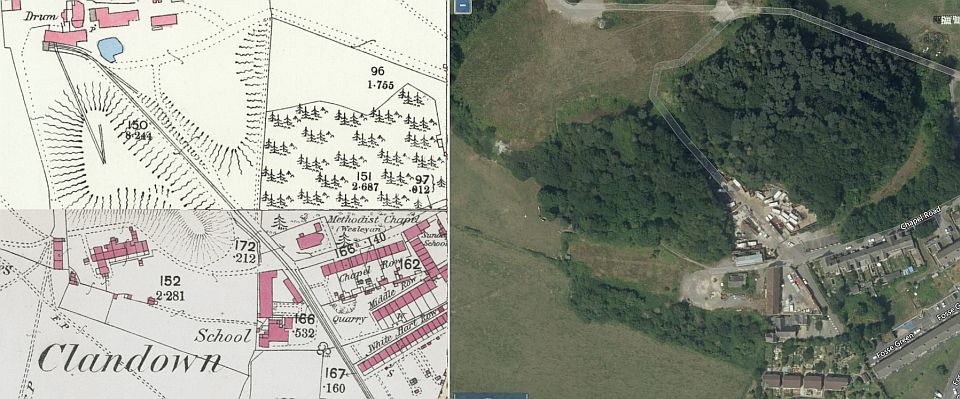
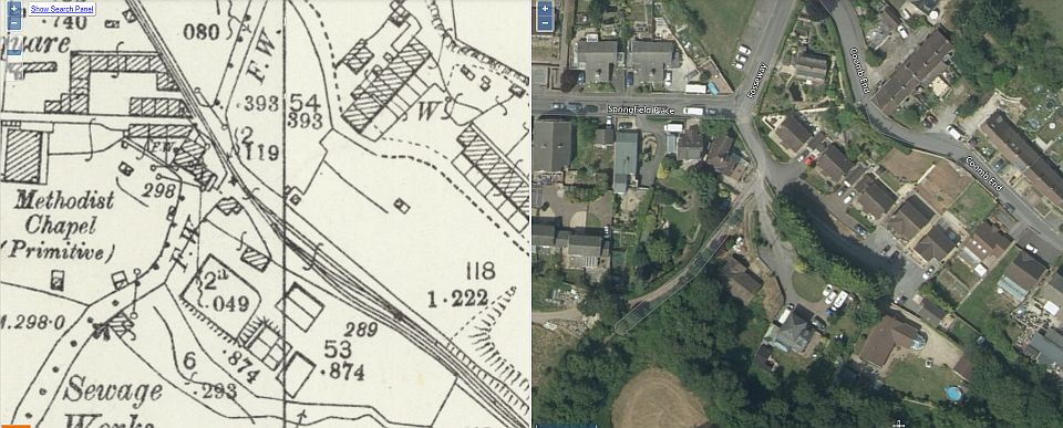
A crop from NLS Maps showing an early plan of the colliery layout.
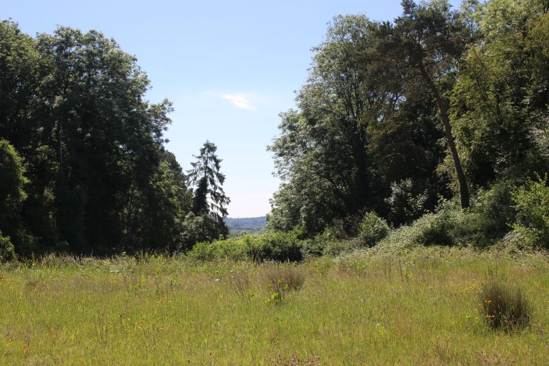
There is some fine views from this high point on the coal mine site.
However, care is needed as there is some bad erosion of the cliff face at
this point.
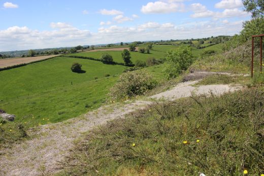
Looking westwards from the colliery site.
The main building and the pit shaft was here.
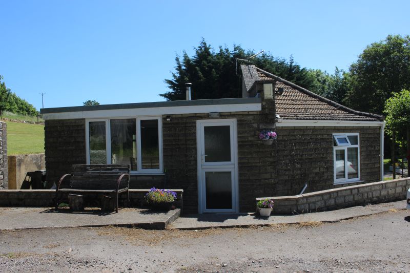
On the coal mine site and entrance. looking north westwards with The Holy
Trinity church along side. A small gate keeper's
house still remains, on the right.
The road continues into Clandown village.
This may be an original mine building. It is of the old stone used by the
mines but has been considerably modernized and
could have been security by the gate entrance.
The main entrance. The mine was on to the far right just out of sight..
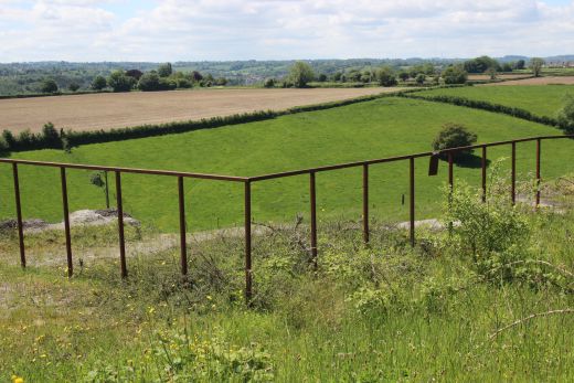
The incline came up between the two coal batches. Here the line terminated
in a couple of sidings plus a line into the colliery.
It would be nice to be able to walk the whole way to the summit but as we
found out earlier the way is blocked off by a
private lorry business.
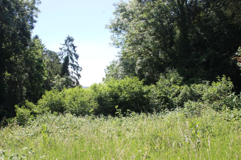
You are also stopped at this point by the heavy growth that includes lots
of very sharp nettles.
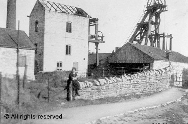
It is very difficult to find photos of many of the old mines. I found this
on the internet and it claims to
be of Clandown Colliery. However, I have seen another copy of this
photo that states a different mine.
Perhaps someone can confirm this, or not!
===================================================================
The Dundee & Newtyle Rlwy Walks Opened in 1831 the route had three incline planes. The first was from the terminal station on Ward Street, up the Dundee Law, where there wasThe Cromford & High Peak Incline railway in Derbyshire has been luckier in having much of it's buildings, including an Engine House preserved. This is what could have happened with
the D&N, indeed, should have happened with at least one of the D&N inclines. However, the C&H gives an excellent comparison of what the D&N would have looked like, albeit the
inclines were only single track.Boddam To Ellon Branch (Walks) By Bill Reid. Ex GNSR branch line.
Dyce To Fraserburgh and Peterhead Walks. Ex GNSR
Bath To Wellow Rlwy Walks Ex Somerset & Dorset Rlwy.
Hosted by www.theatreorgans.com