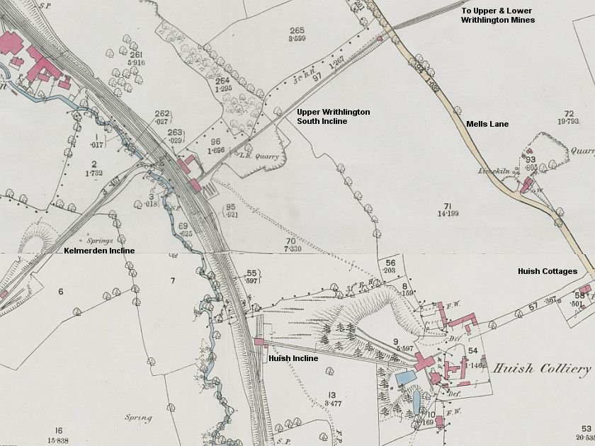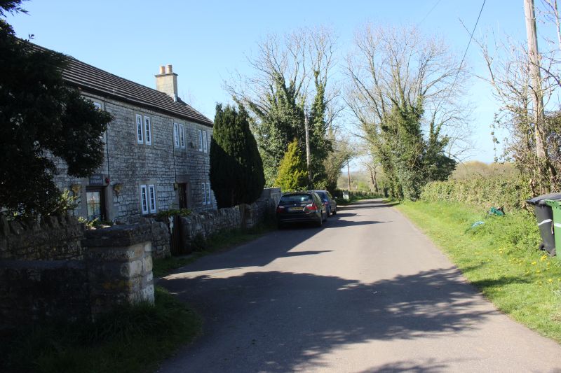
A line came out of the coal mine and westwards to the coal tip.
Further towards the end of the coal tip. There is nothing to be
seen.
View from the Ex Wheel Pit side, northwards back towards Mells Lane.
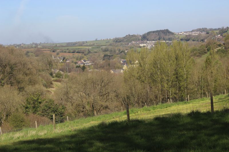
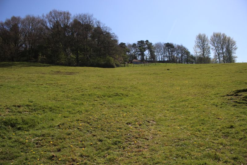
View from the summit of the incline, northwestwards over Radstock.
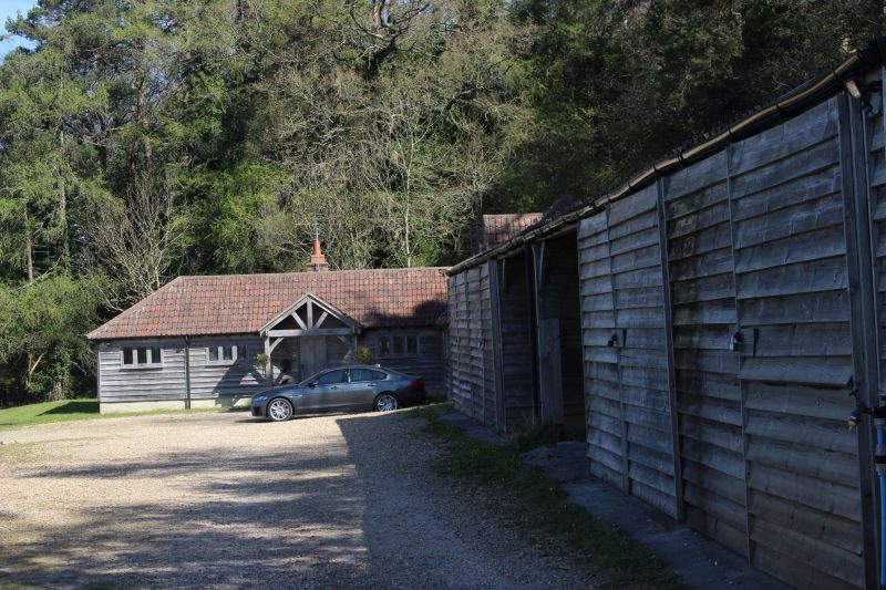
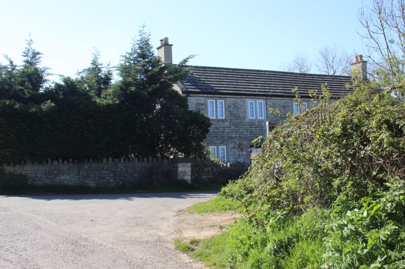
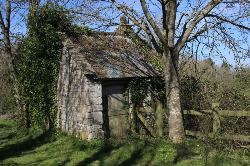
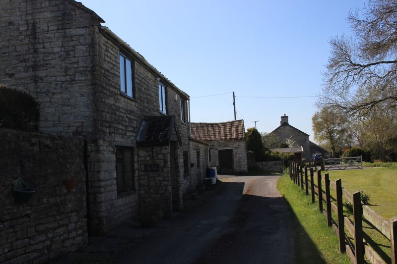
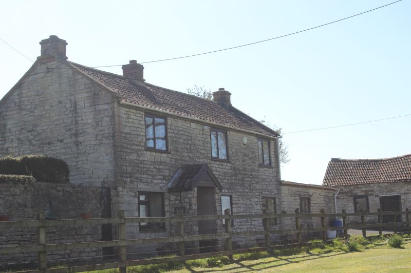
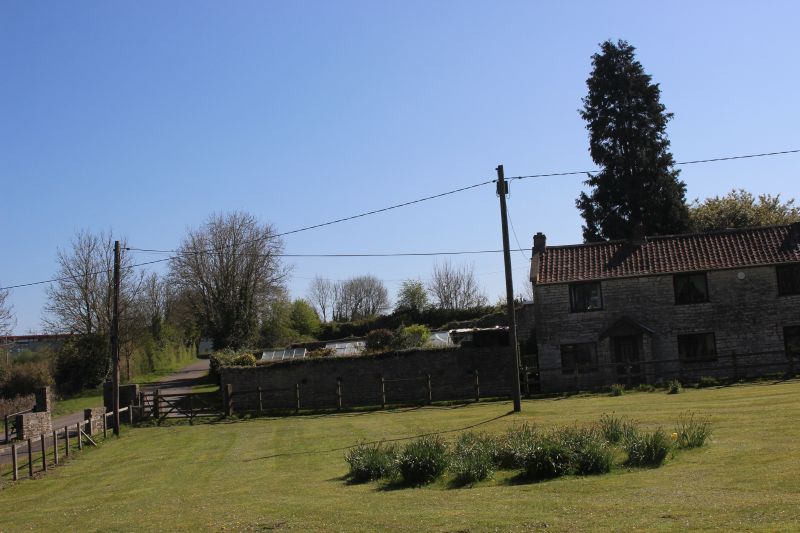
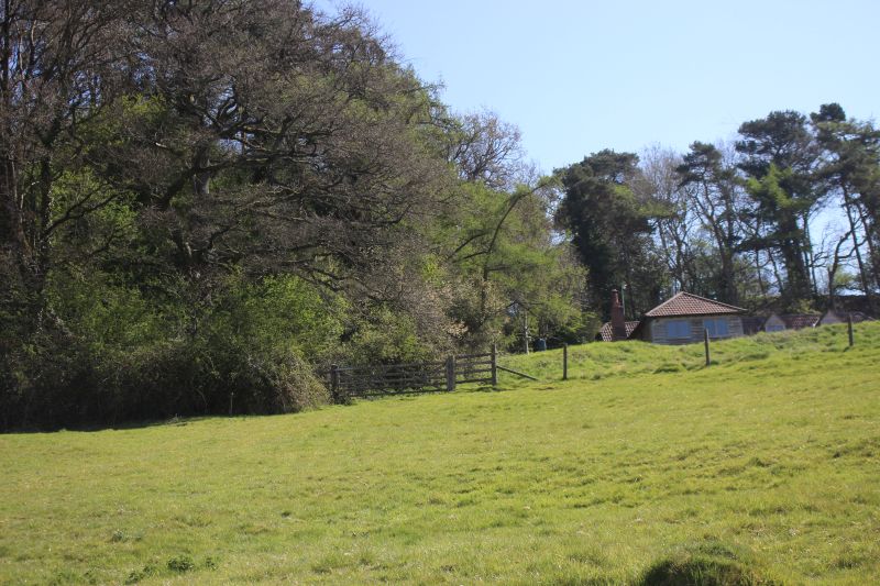
This house is at the next level down from the entrance path. The
incline dropped down just behind this building.
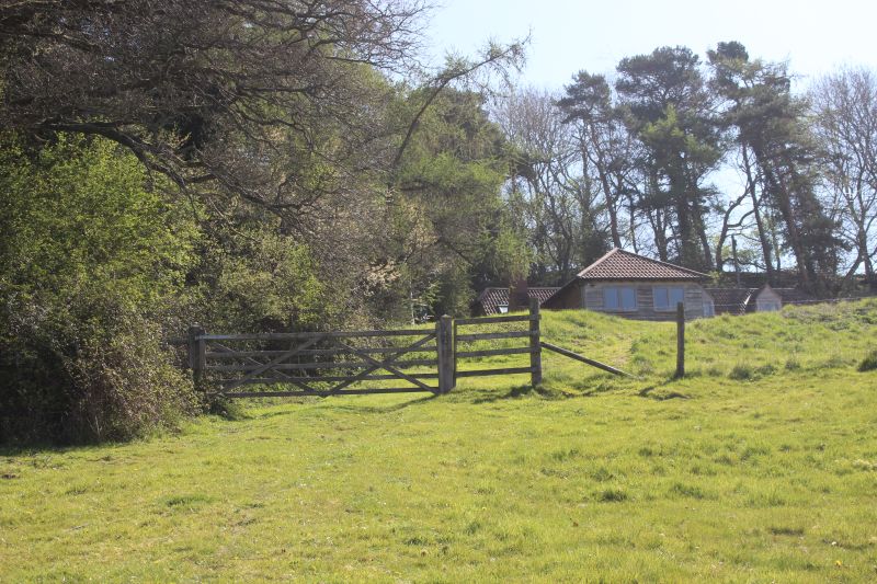
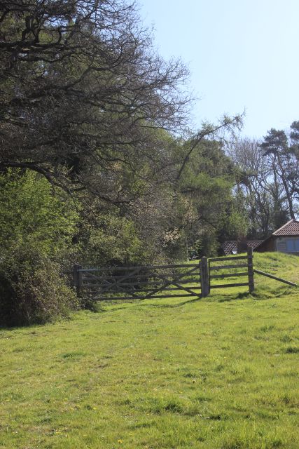
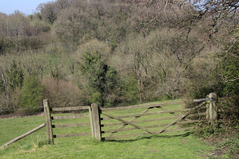
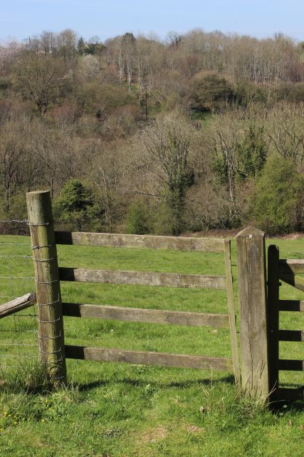
Looking back up the incline towards the coal mine site. The line of
site for the incline coming from the coal mine.
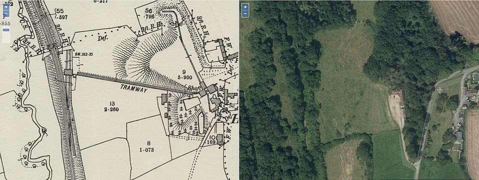
Looking up the whole length of the incline from the wagon exchange
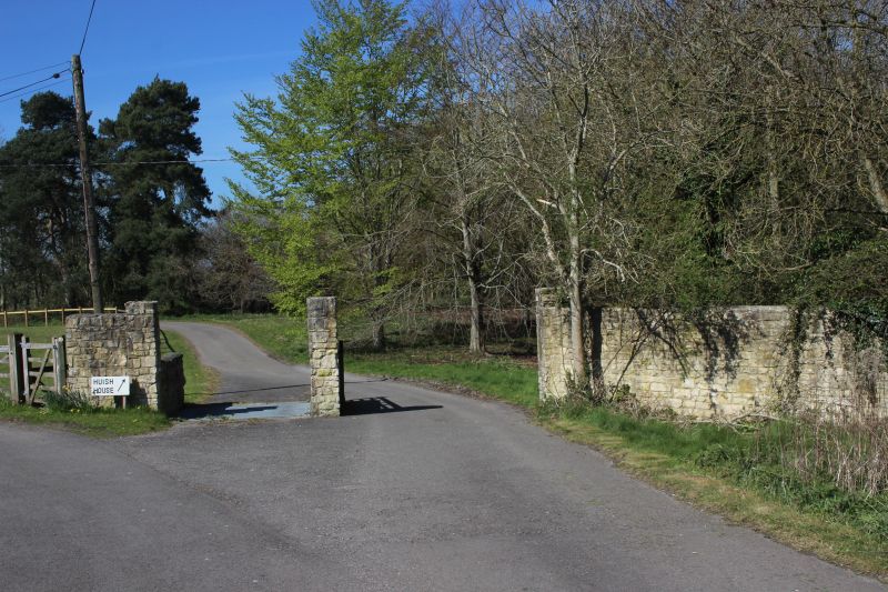
site. My thanks to the lady at Huish House for her
kind permission to enter their land and to look around. You
can't get onto this site from the Ex GWR track bed.

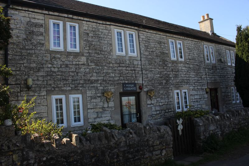
Left: The coal mine site looking northwards along the
private lane too and from Huise House.
Right: The drop down to the unloading building by the
main branch line.
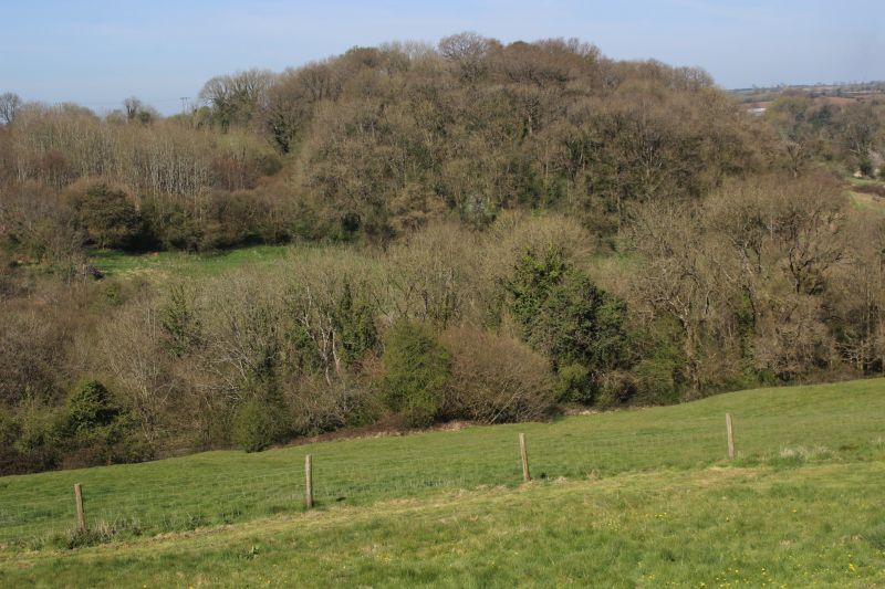
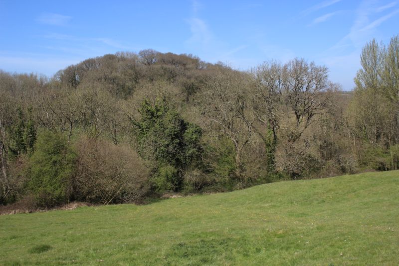
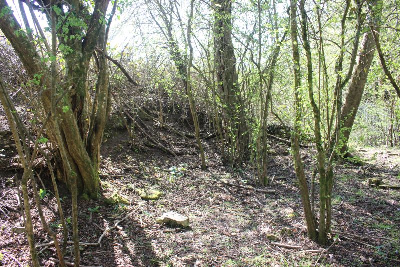
The clear view westwards looking down the incline. The Kelmersden
incline is up through the trees to the right of
center.
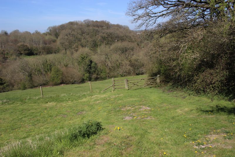
The incline dropped down from here to join the Frome branch.
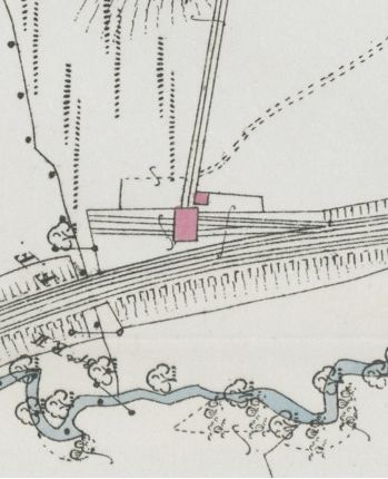
NLS Map crop showing the unloading building
straddling over the two sidings. There was a
smaller building alongside.
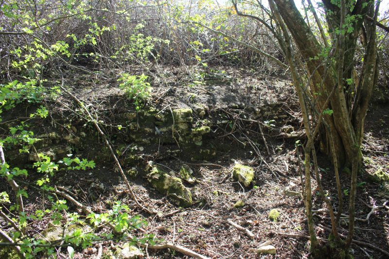
Where the unloading exchange building stood by the main line. This
would have been the entrance into the building.
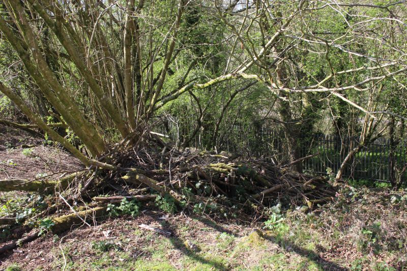
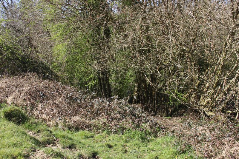
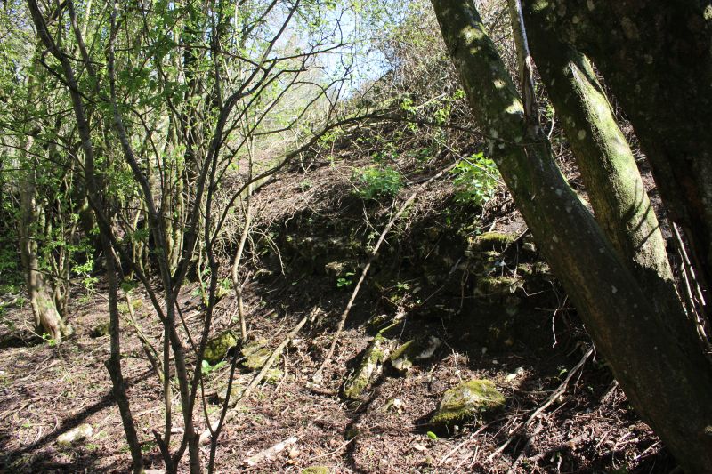
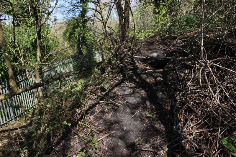
Site of the unloading building. The trees have grown through
everything.
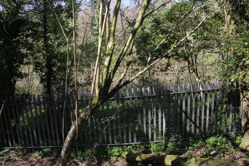
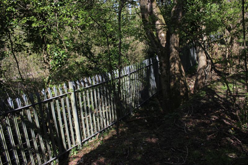
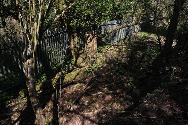
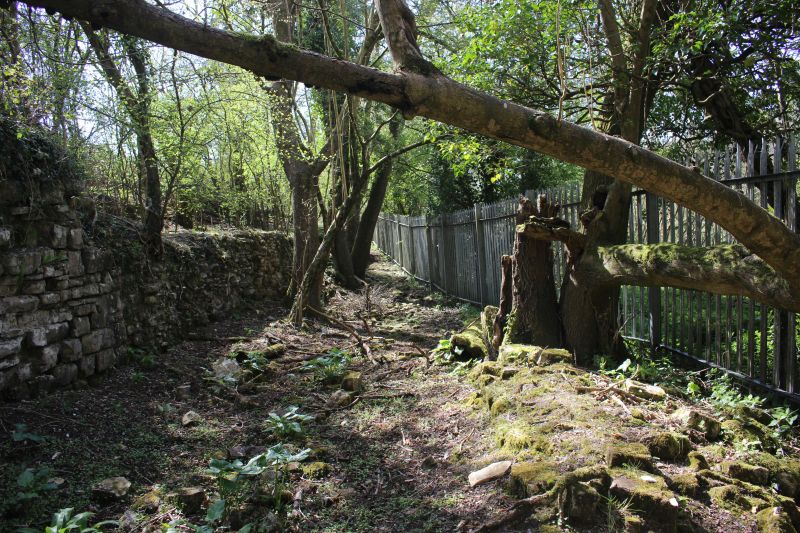
The railway fence divides the unloading exchange platform from the
man railway which is a walking and cycling
route between Radstock and Frome.

The edge of the unloading platform. There were two
sidings, running in off the main line from the Frome direction. Here
you can see that the sidings curved slightly away from the main line
and to the stop blocks.
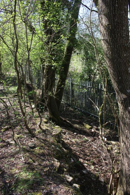
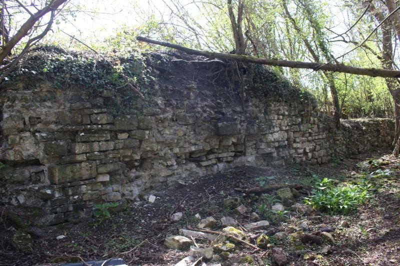
Remains of the north side of the unloading building.
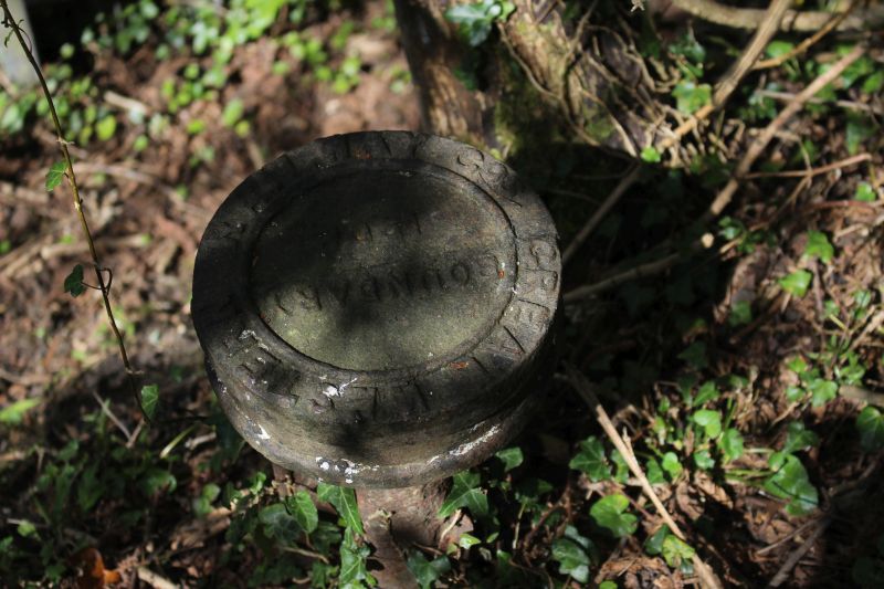
A GWR boundary post.
Looking towards Radstock from what would have been inside the
building.
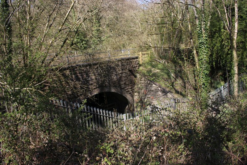
The farm access under bridge with the walking & cycle way above.
The two sidings stop block were to the right in line
with the fence, below.
Here I would have been standing inside the building. This is the inside
north facing wall. It appears that the wagons entered
the shed level with the top of the wall, center and the wagon loads
tipped into the mainline wagons at ground level. The
sidings were on a ramp alongside the main line.
Looking towards Frome from what would have been inside the
building. You can see that the sidings were above the
main line, which is behind the fence.
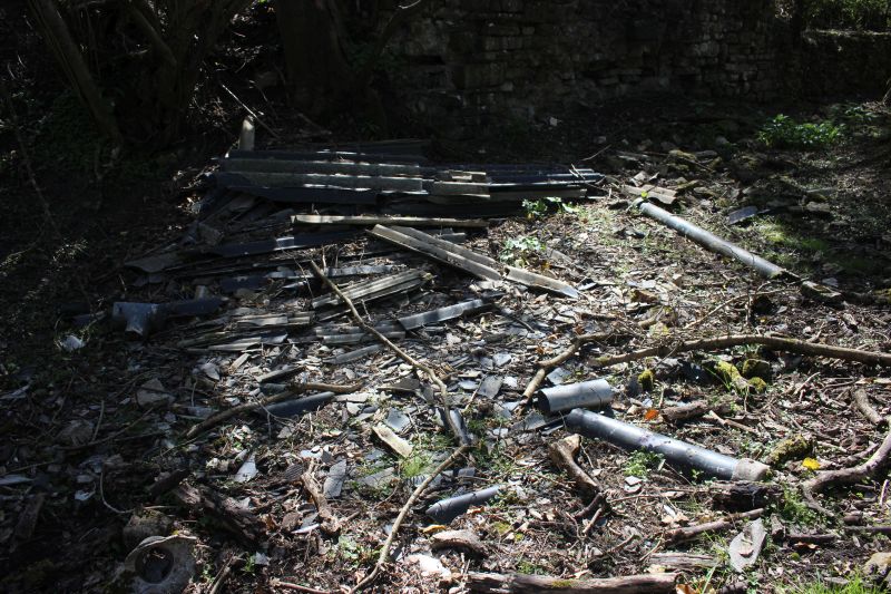
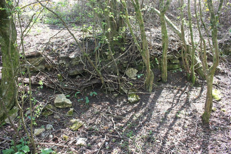
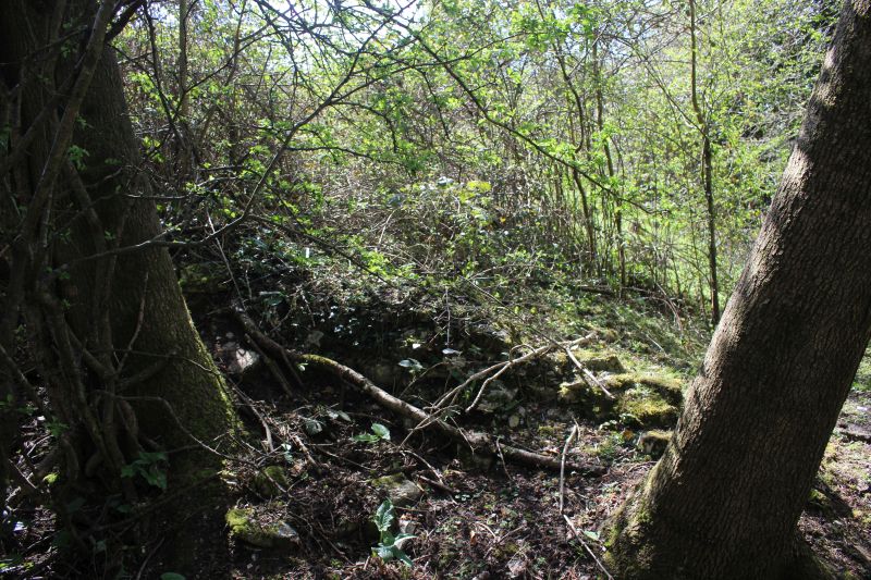
Building remains.
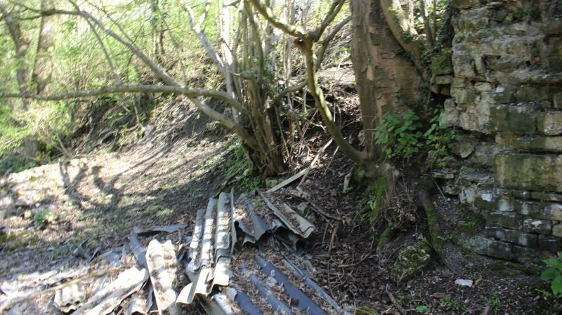
This looks like the remains of the roof of the building.
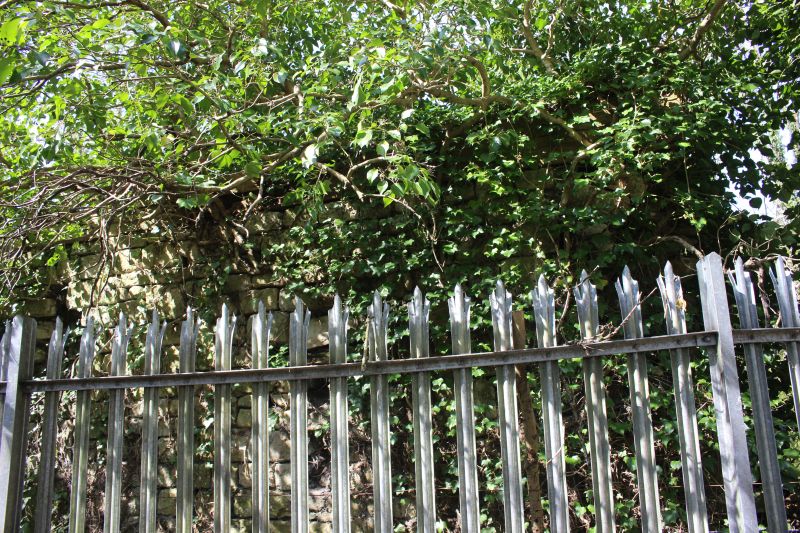
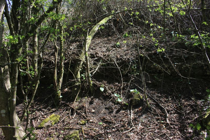
This is the remains of the south wall of the unloading building that
is now fenced off on the walkway side.
END.
=========================================================
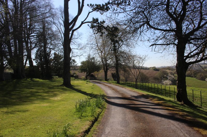
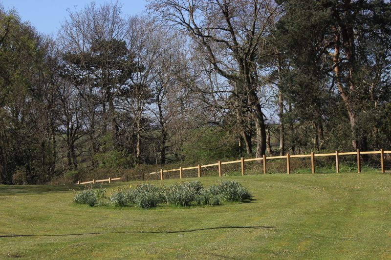
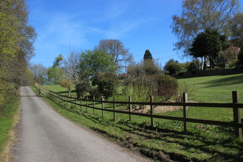
These two views are along the path to Huish House, where I had to go to
have permission to go onto their land and down to
the coal unloading site. Looking towards the house.
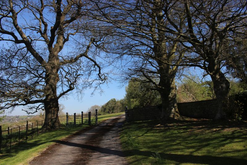
Reverse view back towards the coal mine site.
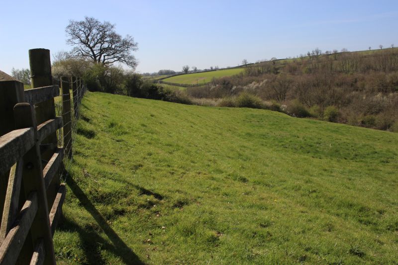
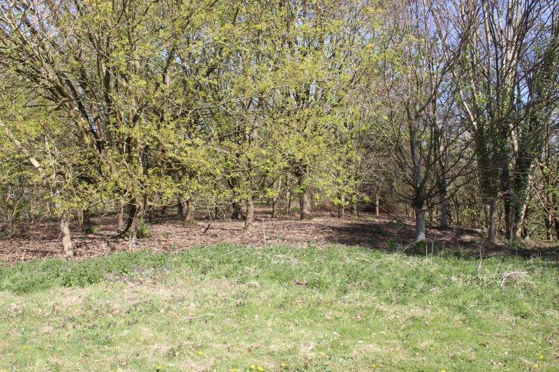
A view from the path overlooking the valley where the Ex Bristol to
Frome railway ran below, within the tree line.
=========================================================================================
To:
Clandown Middle & Middle Pit Collieries (Radstock) Part One
The
Dundee & Newtyle Rlwy Walks Opened
in 1831 the route had three incline planes. The first was from
the terminal station on Ward Street, up the Dundee Law, where there was
also a tunnel. The second was the Balbeuchley incline at
Rosemill and the third at Hatton that ran down to Newtyle station.
It was also the very first passenger train service in Scotland.
Worked by Horse over the levels until the first steam engine was
purchased in 1833. Came under the Caledonian Railway with it's terminal moved to
Dundee West station. Passengers
service ended in 1952 and the line totally closed in the mid 60's.
The inclines were by-passed in the 1860's.
The
Cromford & High Peak Incline
railway in Derbyshire has been luckier in having much of
it's buildings, including an Engine House preserved. This
is what could have happened with
the D&N, indeed, should have happened with at least
one of the D&N inclines. However, the C&H gives an
excellent comparison of what the D&N would have looked like,
albeit the
inclines were only single track.
Boddam
To Ellon Branch (Walks) By Bill
Reid. Ex GNSR branch line.
Dyce To Fraserburgh and Peterhead Walks. Ex
GNSR
Bath
To Wellow Rlwy Walks Ex Somerset
& Dorset Rlwy.
Chippenham To Caln Walk.
The
Test Valley Railway Walk. (New Mills To Hayfield).
Hosted by www.theatreorgans.com
BACK
TO HOME PAGE