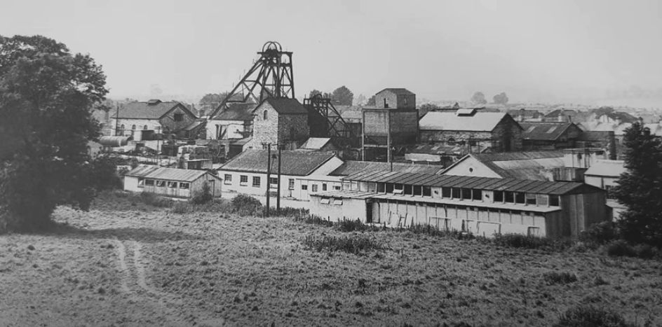
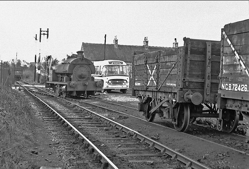
Kilmersdon colliery site. There had been two pit heads. One of the lift wheels can be seen on display at the S&D station site in Rastock. The steel
girder frame that held the wheels up is on display at the Radstock Museum.(Author unknown).
Back
To Radstock Collieries Index
KILMERSDON COLLIERY & INCLINE
(Radstock)
(1875 to 1973)
(From a visit on the 4th of November 2020)
Kilmersdon colliery site. There had been two pit heads. One of the
lift wheels can be seen on display at the S&D station site in Rastock.
The steel
girder frame that held the wheels up is on display at the Radstock
Museum.(Author unknown).
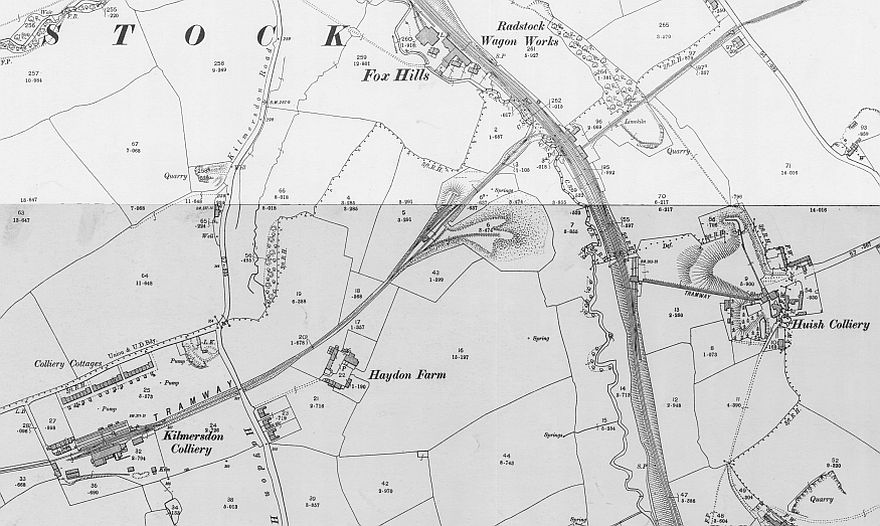
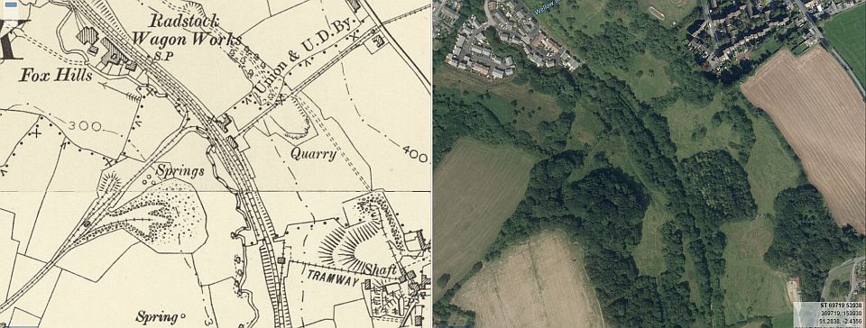
Kilmersdon Colliery and it's incline. Also shown are the two other
inclines from Upper Writhlington and Huish collieries. (NLS Maps)
Kilmersdon triangle junction and incline. Includes the layout at the
summit and the line to the batch (Slag) heap.
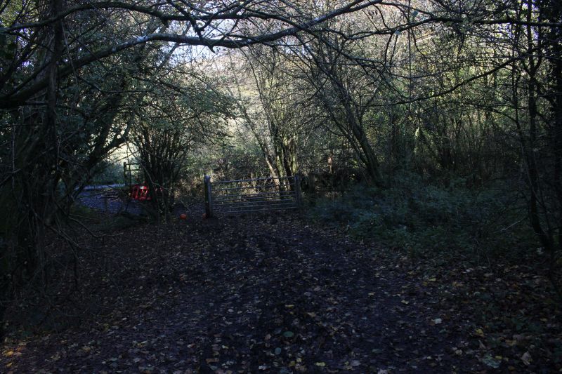
At the bottom of the incline where the line split into two spurs. These
spurs were especially designed in controlling the stopping of the wagons
at the bottom.
One line dealt with the loaded wagons while the other the empty wagons.
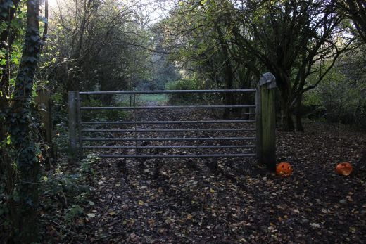
One line was also lower than the other. The way is gated to stop
anyone or thing
being able to run down the incline directly onto the railway path way.
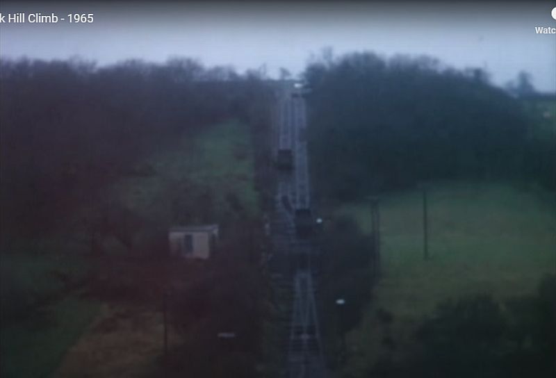
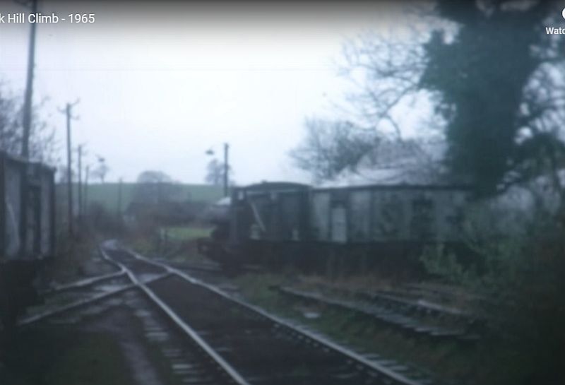
The incline in operation. (Video screen grab).
The gradient is 1 in 4. (Video screen grab).
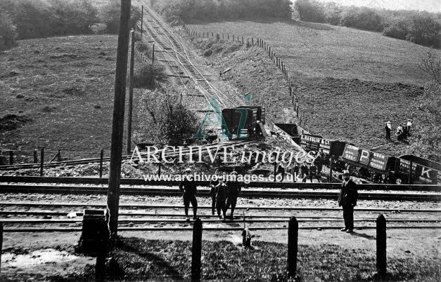
Results of a run-away.N.B. how the loaded wagon spur on the left is higher
than the empty wagon
spur. This is to help slow the heavier wagons down for braking to a stop.
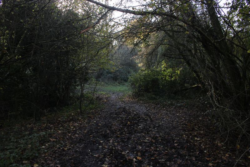
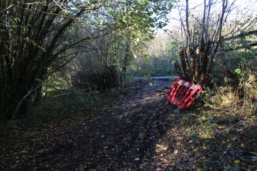
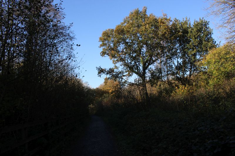
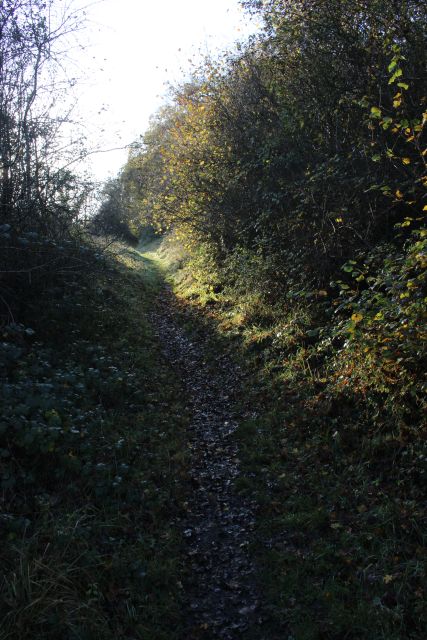
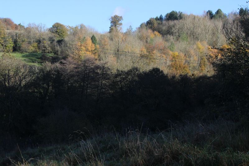
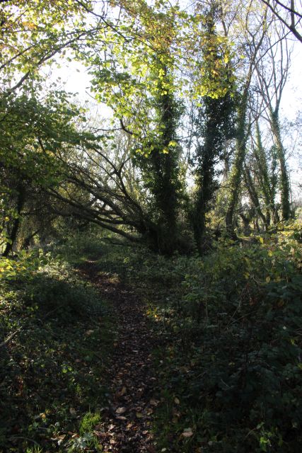
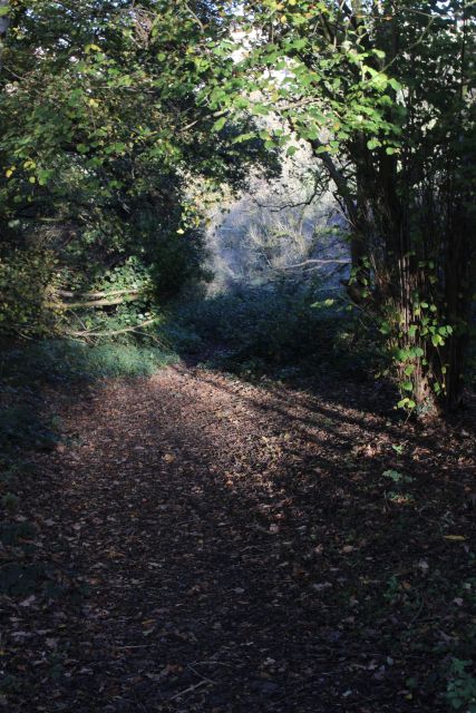
The start of the climb. The way ids heavily overgrown and the incline
isn't seen until you get further ahead.
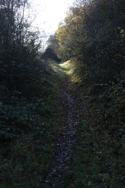
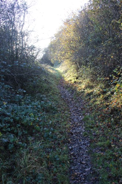
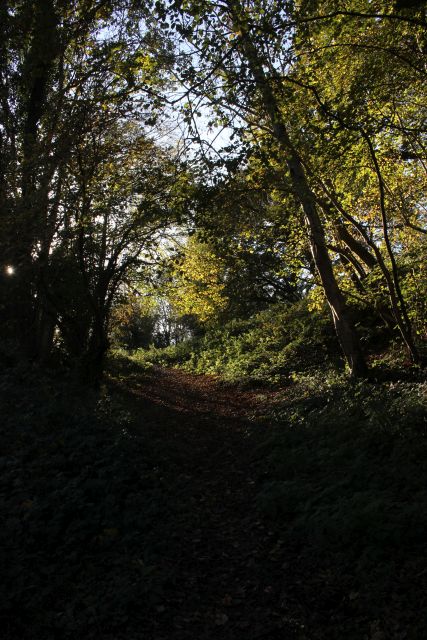
The incline is heavily over grown and is just a narrow path way.
It's difficult to imagine that it was actually two tracks wide. It
wasn't a long incline but quite steep at 1 in 4.
The base of the incline where the two spurs joined the main line and
sidings. This is roughly where the winding house stood
at the bottom of the incline, between the two spurs.

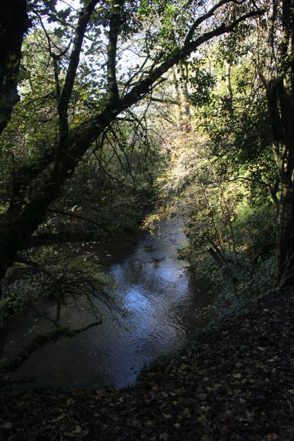
The incline junction crossed the river Cam.
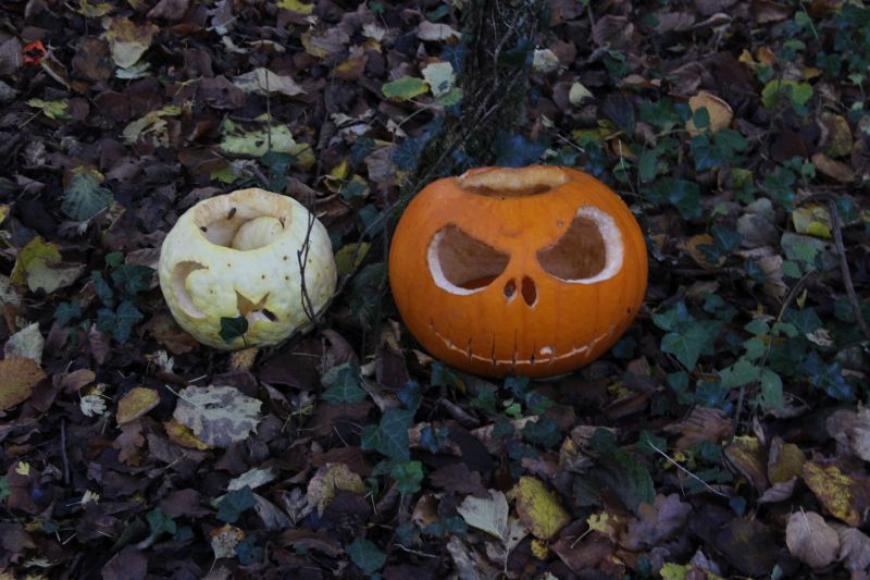
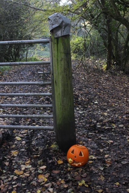
Remains of a celebration of Halloween by some locals.
Walking up the 1 in 4 incline.
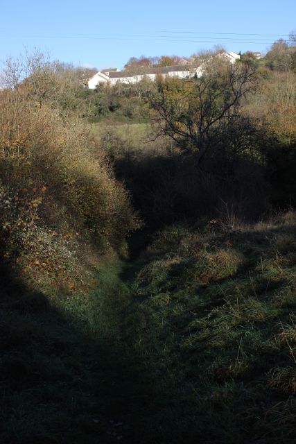
Looking down the incline with housing estate at the top of the old
Writhlington tramway incline.

At the incline summit where the line narrowed to single line on to
the Colliery.
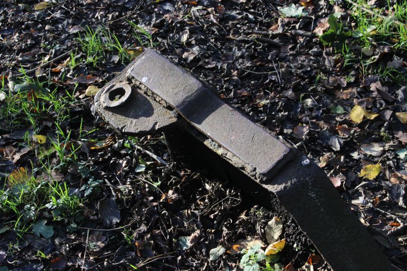
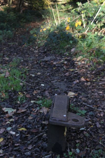
A metal wheel block.
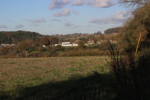
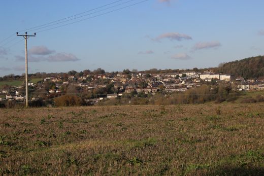
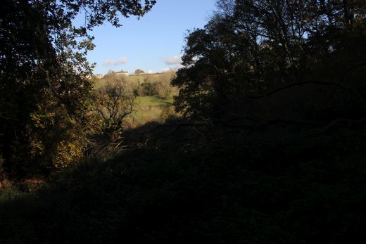
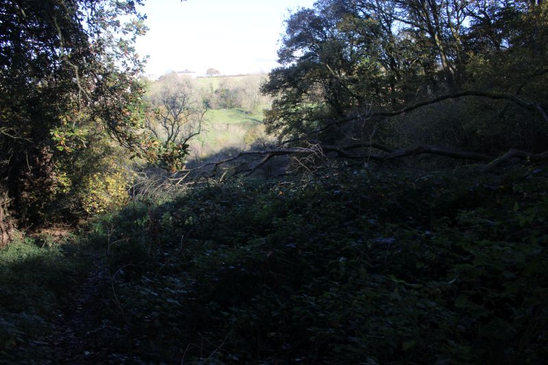
Walking along the track bed level towards the colliery site with views
over Radstock.
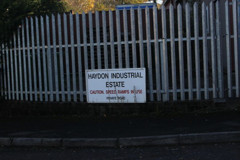
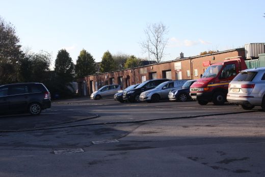
Opposite side of the road by the Ex entrance into the colliery that is an
industrial site today.It is interesting that the coal mine
was actually in Haydon. Kilmersdon village is a mile and more to the
south. The mine was referred to as both Haydon and
Kilmersdon which was confusing when first learning of the mine and
incline.
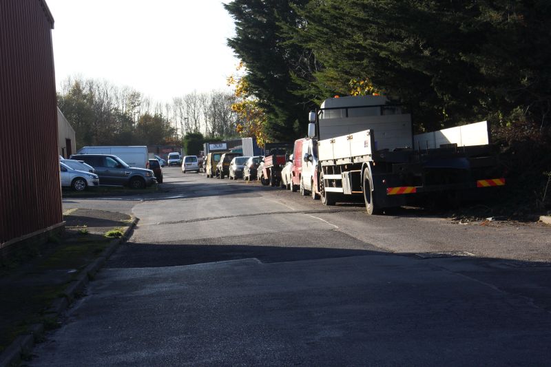
From the entrance the sidings leading up to the mine would have been seen.

South side of the road where the line crossed prior to entering the
colliery site.
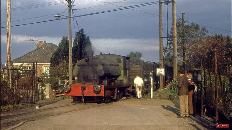
Shunting at the road crossing. As it is today in the photo above. (Author
Unknown).
Just into the mine site and sidings. The track coming in off the branch
and crossing the road. A block of Ex miner's houses to
the right.
Towards the same spot as in the photo above. Shunting by the road
crossing. The wagons are marked as National Coal Board
which came about in 1948. The miner's housing block to the right.
(Author Unknown).
The pit heads were on the far right in this photo.

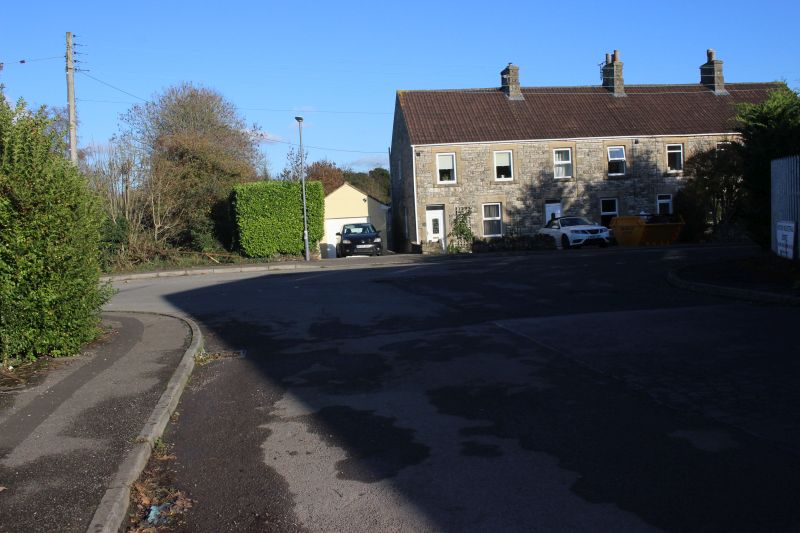
Close to the photo above. On the right there is a row of miner's houses
that still remain today.
RETURN PIX
Remains of a sleeper and a metal pin on the track bed.
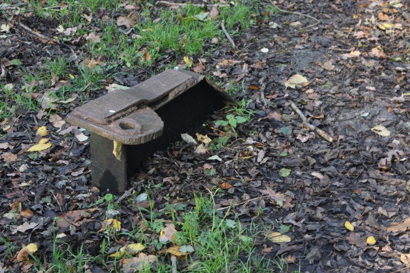

The remaining chock fitting of two pairs that stopped wagons moving
over the summit of the incline. They were cleared once
the preparations were completed for the movement being
made.This is the chock seen on the right in the B&W photo..
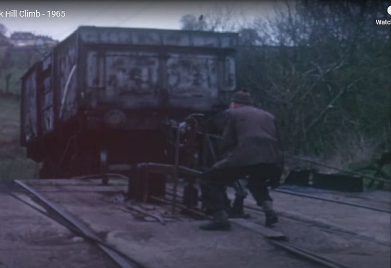
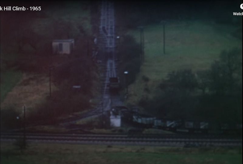
The wagon control equipment being operated during a wagon run. (Video
screen grab).
At the summit. Shows the track layout at this spot. The main single track
runs to the colliery. The track on the left went to the
batch heap. (Video screen grab).

A wooden cover at the summit. I don't know what it was for but possibly
part of the control system.
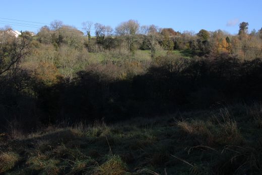
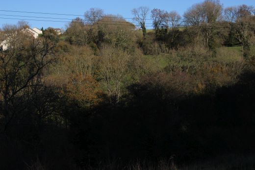
View from the Kilmersdon incline summit.
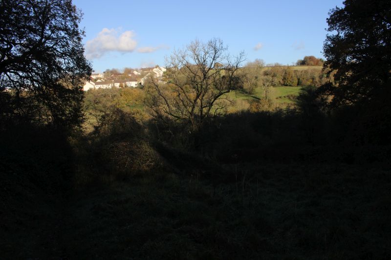
From the incline summit looking over the hill on the south side of the
NSR. The Upper Writhlington
incline came down from the right hand side of the houses seen up on the
left.

The colliery is now an industrial site. Right: The top end of the
site that is now cut off by a housing estate. The tramway ran
beyond here to the batch heaps.
=====================================================================
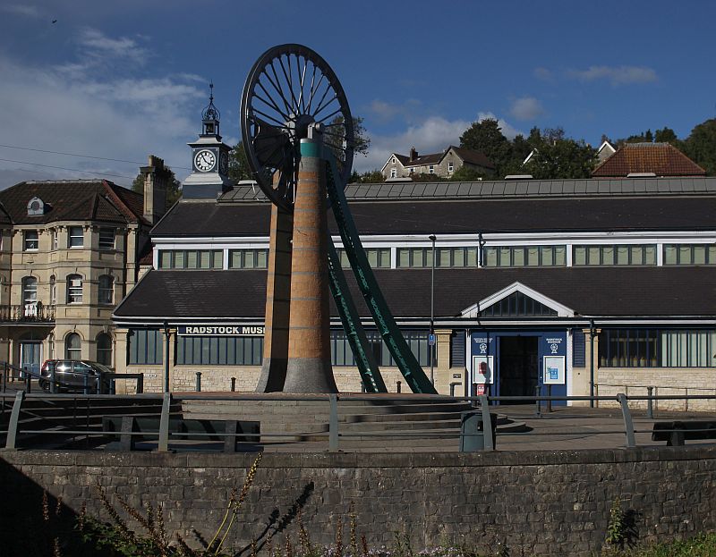
One of the Pit shaft winding wheels displayed at the Ex S&D station
site. Alongside the Radstock museum that used to be
Radstock Market. The museum is well worth a visit. (26th September
2020).
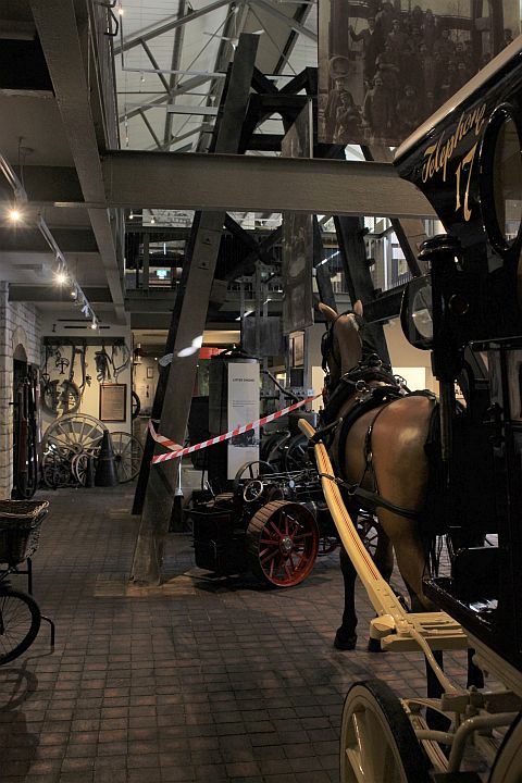
The wheel was originally attached to it's steel girder frame but was
removed and fixed to a modern plinth. The steel frame is on display
inside
the Museum. (26th September 2020).
=========================================================
Kilmersdon Coal Mine & Incline Video By Kitty Land Rover
=========================================================
8mm
colour cine film by Bob Bishop. Interesting scenes of shunting at
the Colliery and road crossing as well as running ver the level
section to the Incline summit.
https://www.youtube.com/watch?v=oDsvm0-iDYg
A PDF giving a descripton of the
mine, incline layout and working.
http://www.coalcanal.org/wh/backissues/74imposed.pdf
To: Huish Colliery (Radstock)
The
Dundee & Newtyle Rlwy Walks Opened
in 1831 the route had three incline planes. The first was from
the terminal station on Ward Street, up the Dundee Law, where there was
also a tunnel. The second was the Balbeuchley incline at
Rosemill and the third at Hatton that ran down to Newtyle station.
It was also the very first passenger
train service in Scotland.
Worked by Horse over the levels until the first steam engine was
purchased in 1833. Came under the Caledonian Railway with it's terminal moved to Dundee West
station. Passengers
service ended in 1952 and the line totally closed in the mid 60's.
The inclines were by-passed in the 1860's.
The Cromford & High Peak Incline railway in Derbyshire has been luckier in having much of it's buildings, including an Engine House preserved. This is what could have happened with
the D&N, indeed, should have happened with at least one of the D&N inclines. However, the C&H gives an excellent comparison of what the D&N would have looked like, albeit the
inclines were only single track.Boddam To Ellon Branch (Walks) By Bill Reid. Ex GNSR branch line.
Dyce To Fraserburgh and Peterhead Walks. Ex GNSR
Bath To Wellow Rlwy Walks Ex Somerset & Dorset Rlwy.
The Test Valley Railway Walk. (New Mills To Hayfield).
Hosted by www.theatreorgans.com