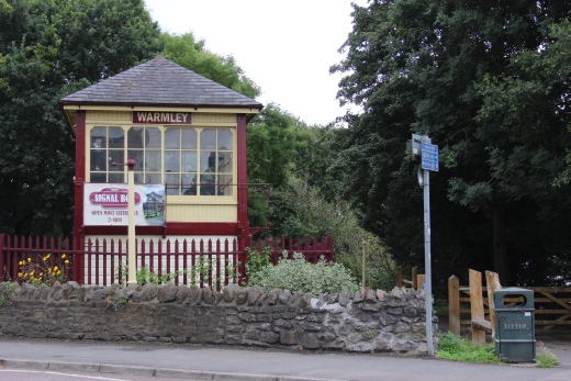
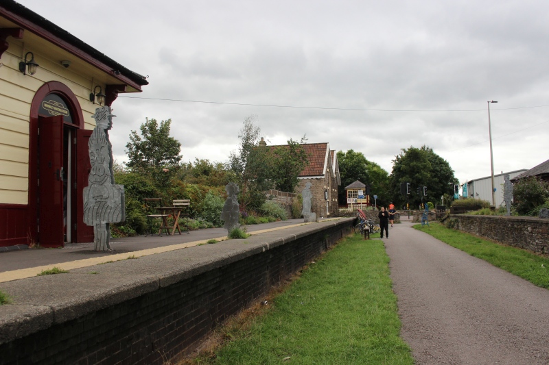
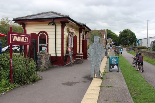
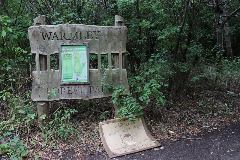
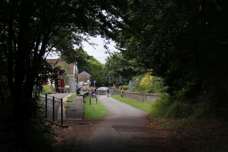
Left: Warmley signal box on the east side of London Road with the track bed running to Bath Green Park.
Right: The station on the west side of London Road with the track bed heading to Bristol and to Birmingham to the north.
BATH TO BRISTOL RAILWAY WALK
(27th Aug. 2018)
WARMLEY TO MANGOTSFIELD JUNCTION
By train to Bath then bus to
Warmley for the start of the 8 mile walk to Bristol. The bus stop
is just across the road at the junction with Station Road.
I enjoyed a coffee and a sandwich at the station cafe before
starting the walk. There are seats on the platform and also a nice
garden area behind.
==================================================

Left: Warmley signal box on the east side of London Road with the
track bed running to Bath Green Park.
Right: The station on the west side of London Road with the track bed
heading to Bristol and to Birmingham to the north.
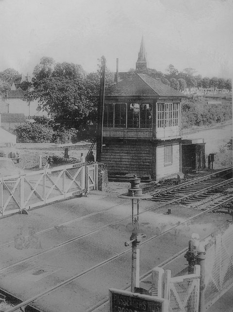
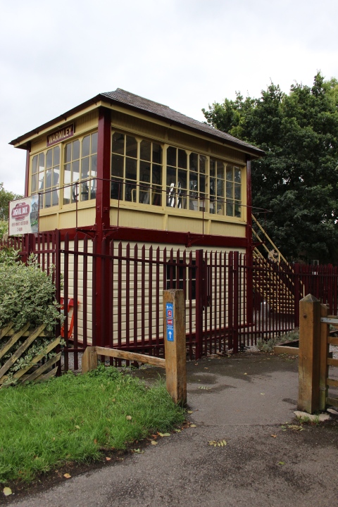
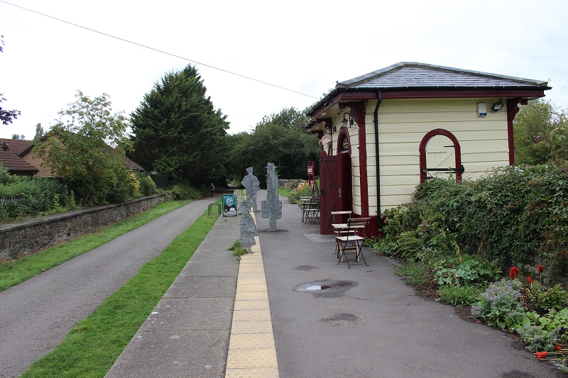
Warmley London Road crossing.
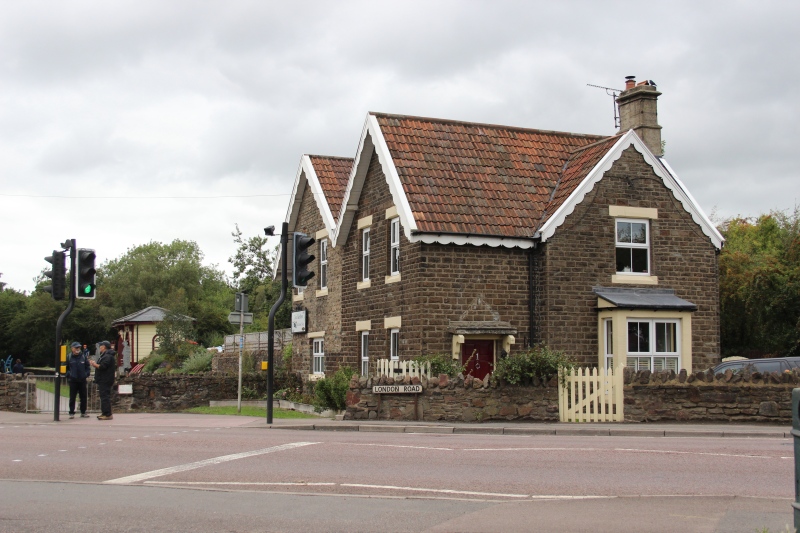
Warmley station house.
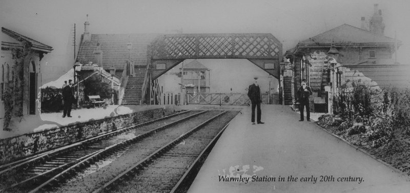
From close to the same spot as in the photo above. The station is quite
complete.
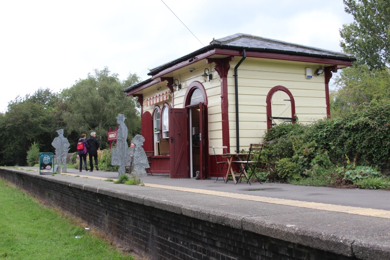
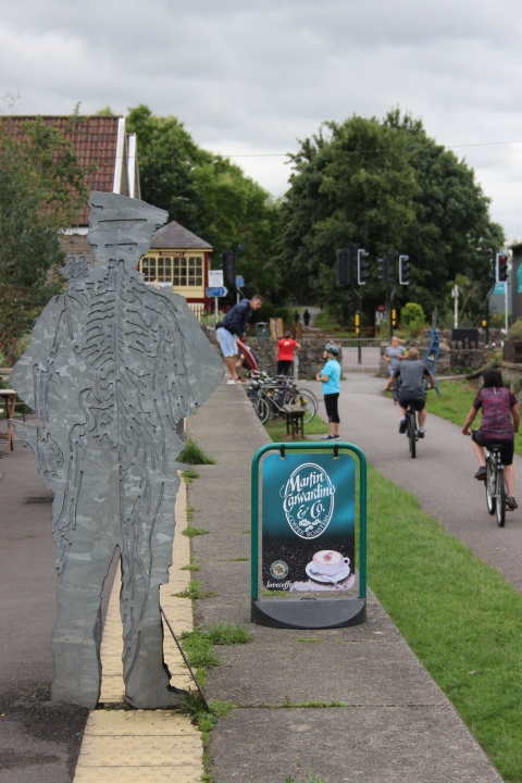
The down platform building is a very nice cafe today.
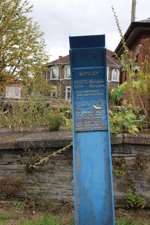
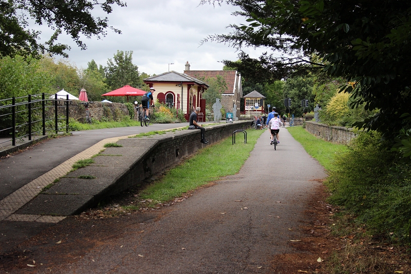
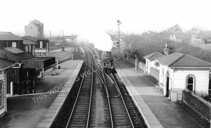
Warmley station towards Bristol. The station nis recognisable but you
wouldn't know that there had been a fair-sized goods yard on
on the down side. A housing estate stands on the site and a new
road, called Station Close. This photo can be purchased on the
internet without the watermark. Norman Road over bridge in the background.
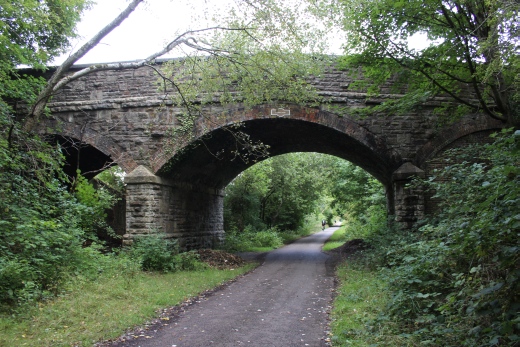
Towards Bristol.
This is the over bridge seen in the old photo above. Norman Road runs over
the top.
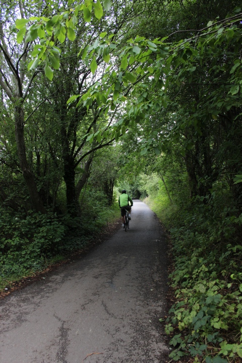
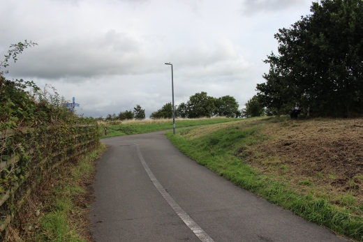
Leaving Warmley and heading westwards towards Mangotsfield.
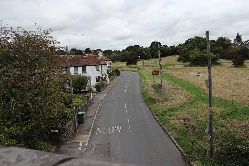
View of Siston Hill (Road) from an under bridge.
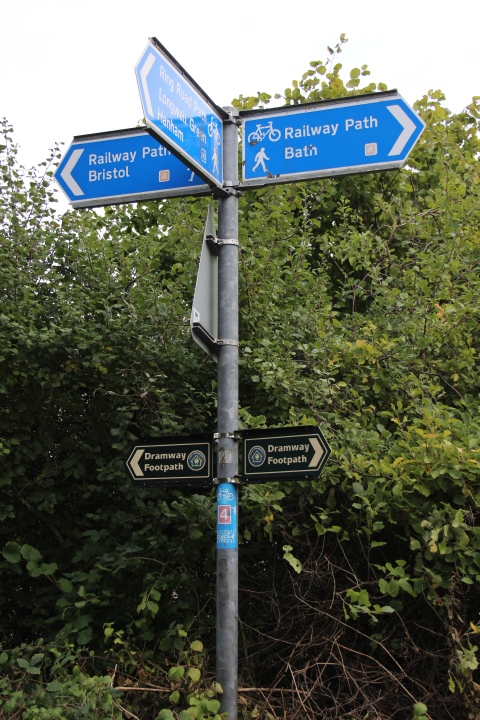
The Dramway was a mineral railway that ran close to the railway from
Keynsham up to Westerleigh. It is also a nice path in it's own right.
There are still the odd bridge
and track bed to follow in places.
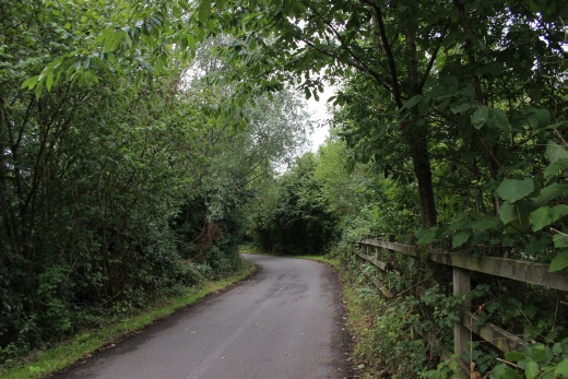
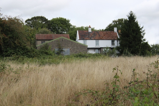
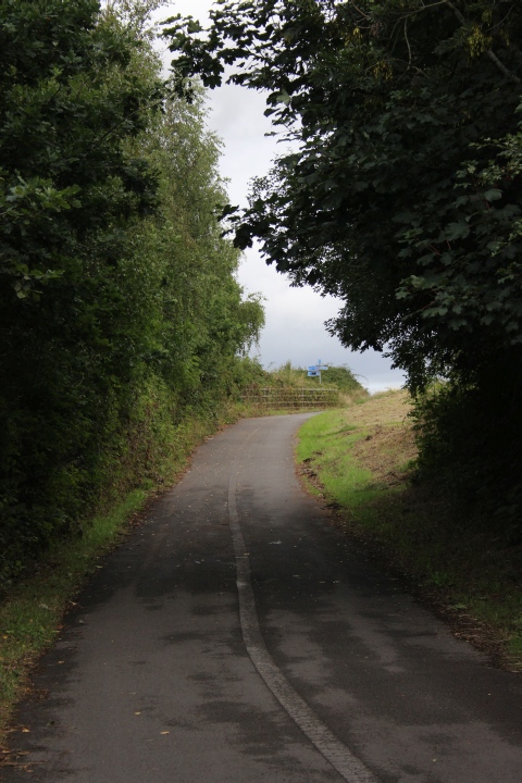
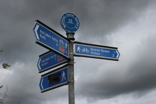
From here you leave the track bed to the far left and don't meet it again
until
approximately where Mangotsfield South Junction was.
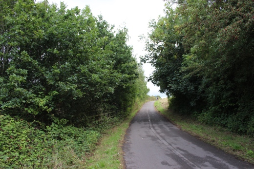
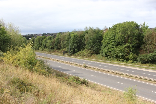
The A4174.
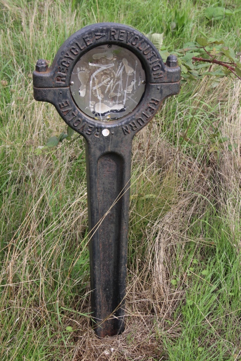
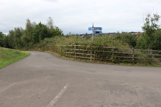
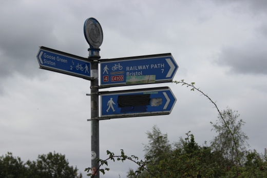
Western path junction. Head northwards for Mangotfield station site.
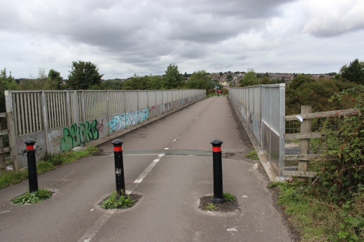
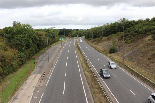
Footbridge over the A4174. Right: Looking northwards.
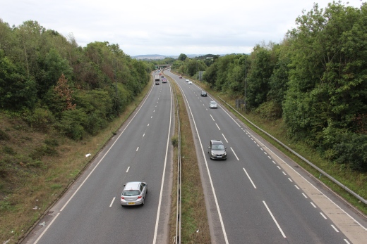
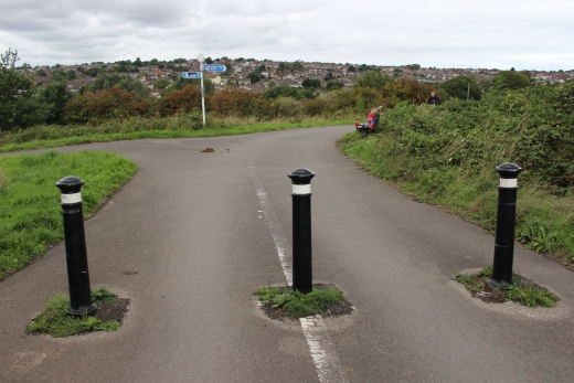
Left: Looking
northwards.
Right: Soutwards with the outskirts of Bristol in the back ground.
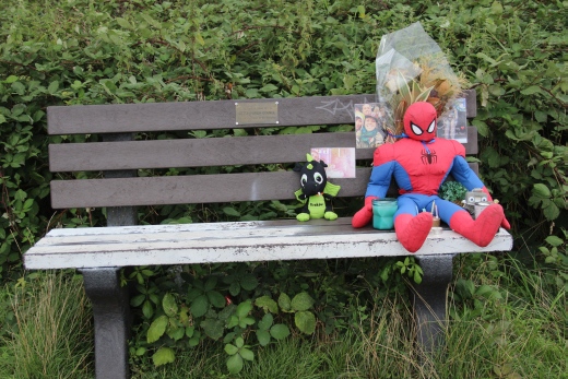

A memorial seat on the footpath.
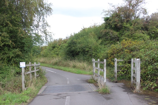
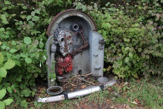
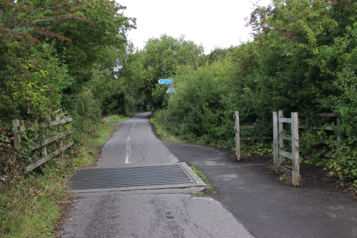
A Cattle Grid. Do you think Cows are too stupid to notice the through path
on the right!
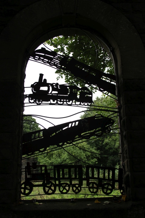
I have no idea what thismmetalart display is about!
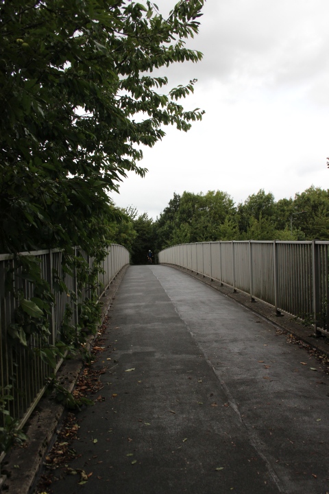
Footbridge over the A4175.
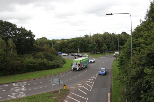
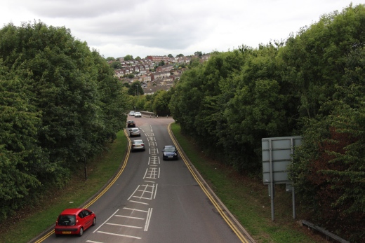
The A4175 round-about and the Carsons Road link.
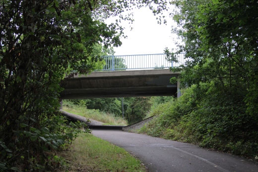

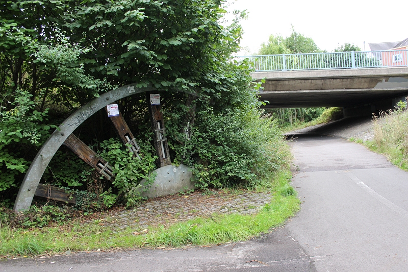
I have no idea what this is supposed to represent!
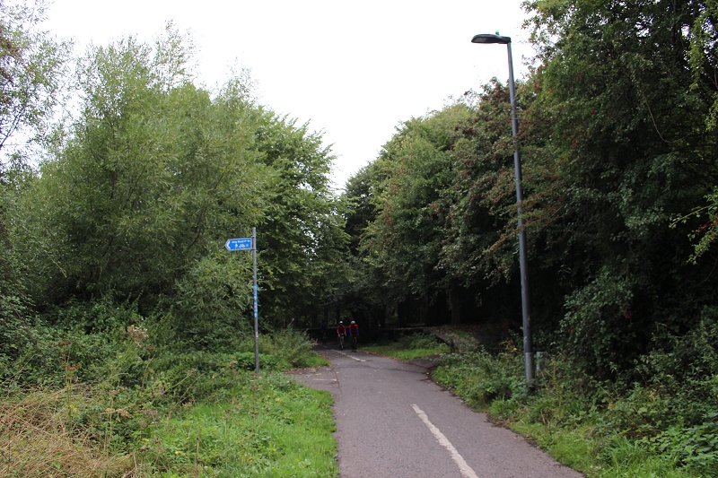
South junction was Approx. parallel to this path (On the right) below the
highway.. The mainline ran northwards to Birmingham
while the line to the station curved to the left just up ahead.
MANGOTSFIELD JUNCTION STATION
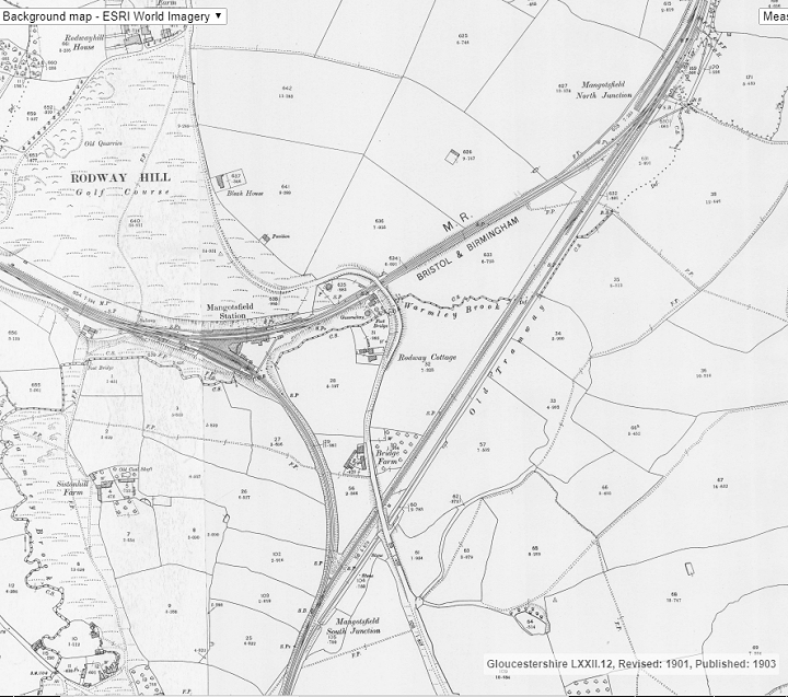
Mangotsfiled station layout (NLS Maps). South
junction to North junction has disappeared below the highway
as did the old mineral Dramway line.
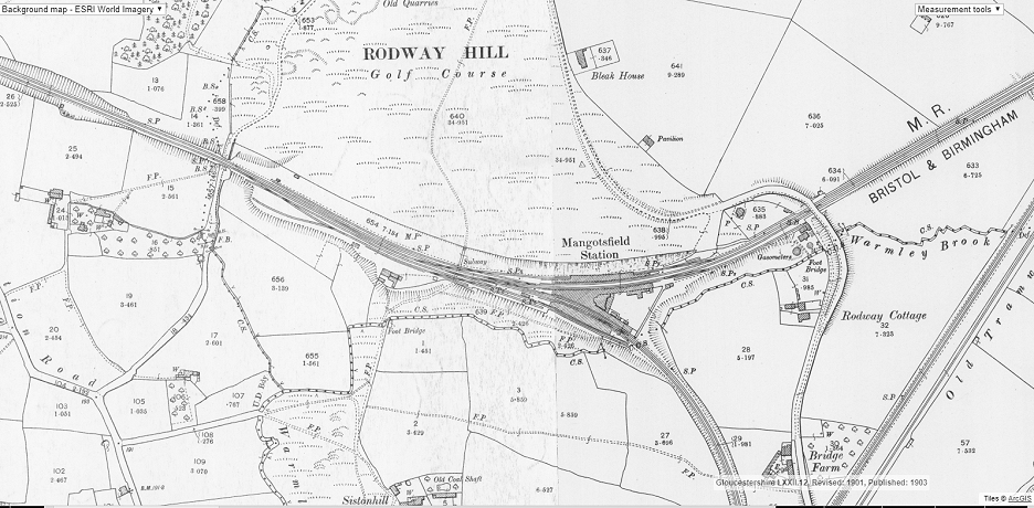
Mangotsfield station and junction layout (NLS Maps).
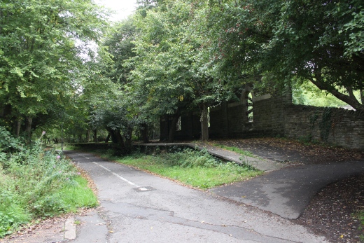
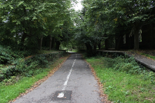
South end of the Bristol platforms. On the Up (Right) platform trees
have been planted along it's length indicating where each canopy post
stood.
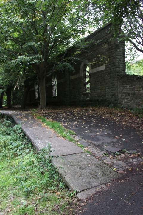
The station had six platforms, one being a bay for a Avonmouth branch
service to Mangotsfield.
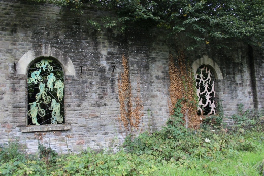
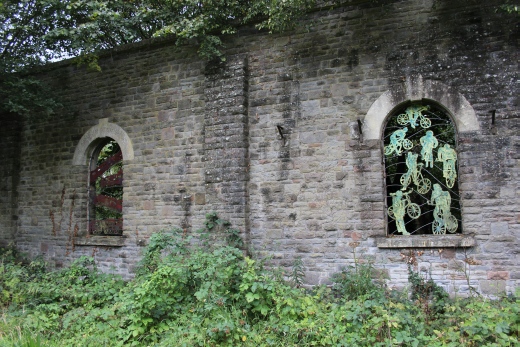
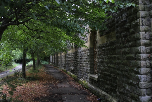
The window arches have been filled with metal art indicating that the
railway path is now for walkers and cyclists.
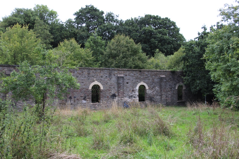
The empty centre of the station buildings with the station wall on the
Down, Bristol platform still standing as is the platform behind it.
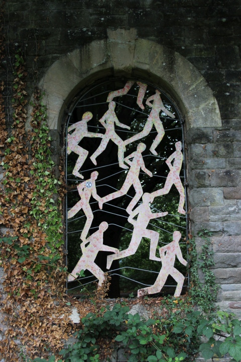
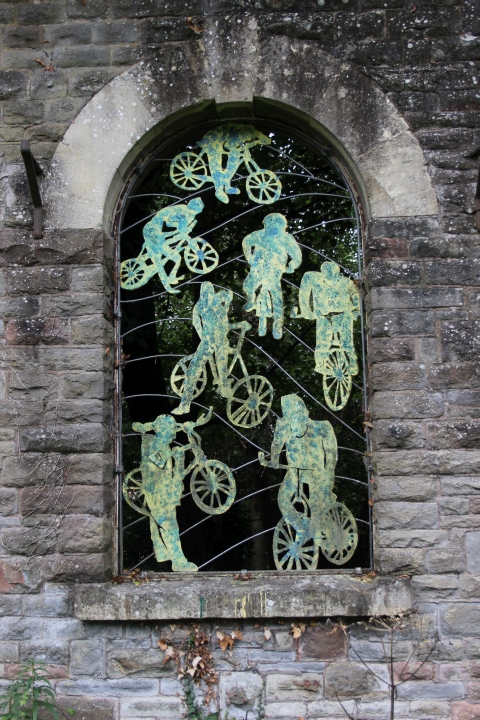
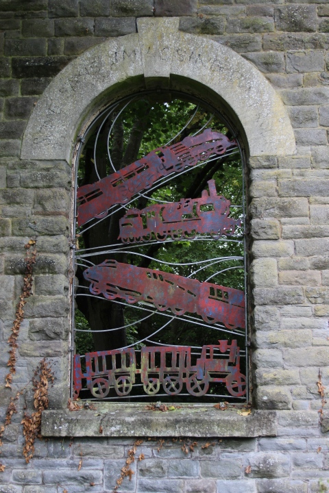
That this had been a ralway staiton has not been forgotten.
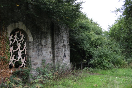
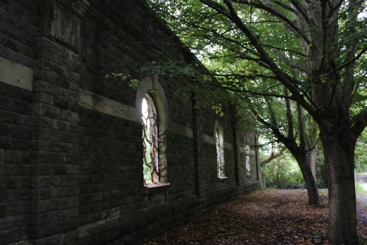
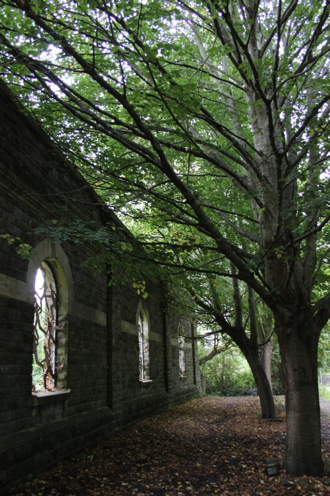
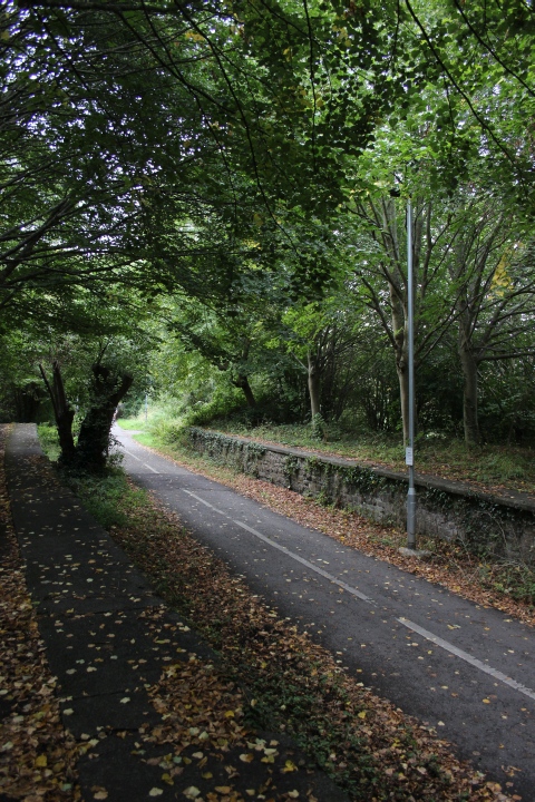
Left: The trees where each canopy post
stood.
Right: The Up and down Bath-Bristol platforms respectfully.
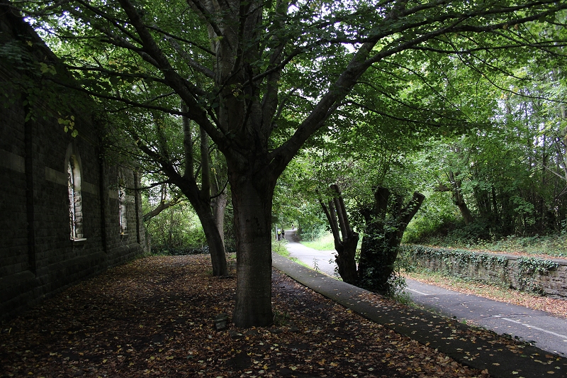
Ditto.
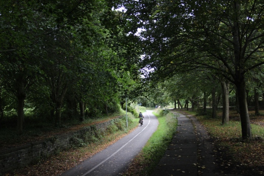
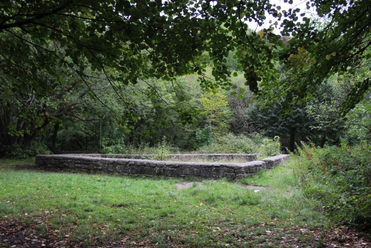
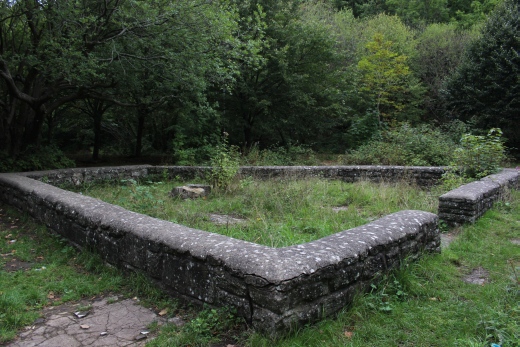
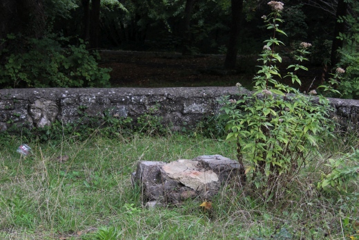
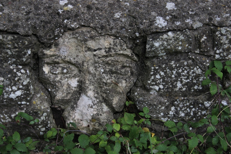
Close-up of the face in the stone wall as seen above right.
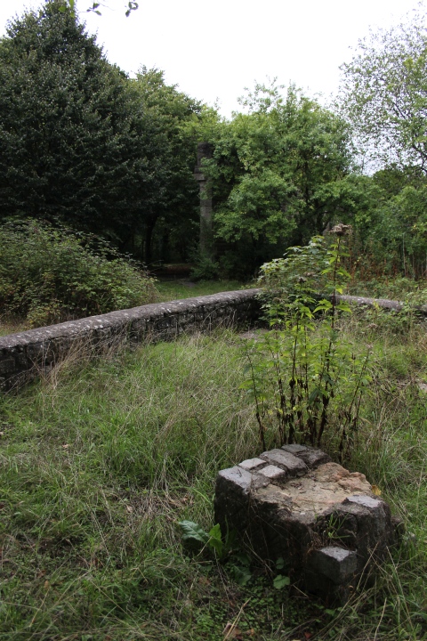
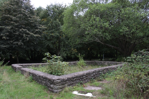
Tis may have been a small garden.
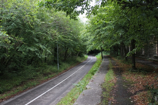
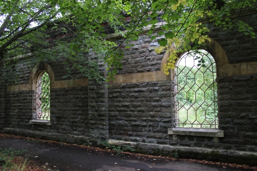
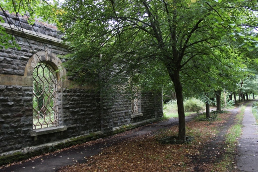
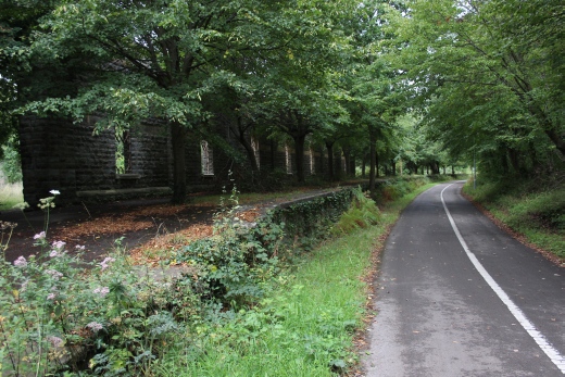
Left: The Down Bristol-Birmingham
platfor.
Right: The same platform towards Bristol. The down platform and buildings
has been demolished (Right).
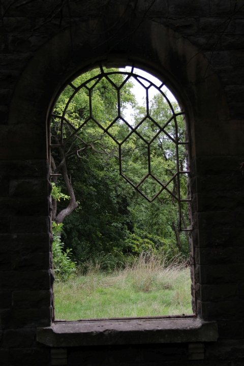
Window on Down Bristol-Birmingham platform.
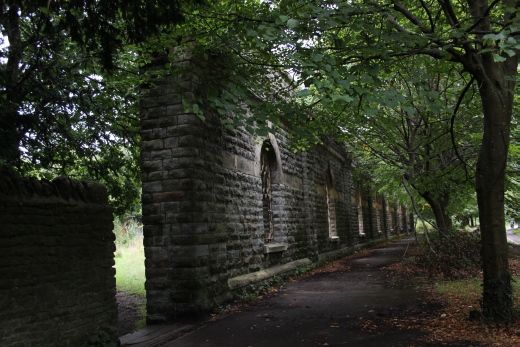

The Bristol-Birmingham patform. Right: Where the Birmingham platform
stood. A footpath leads up Rodway Hill.
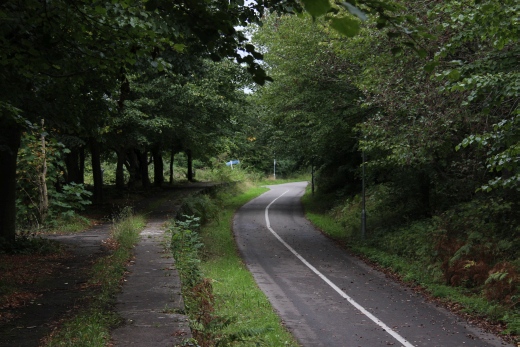
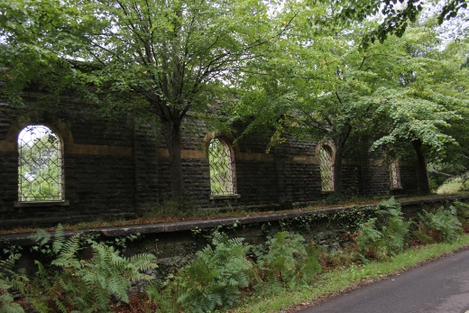
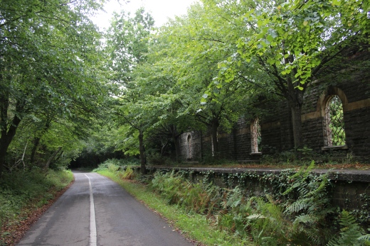
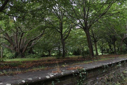
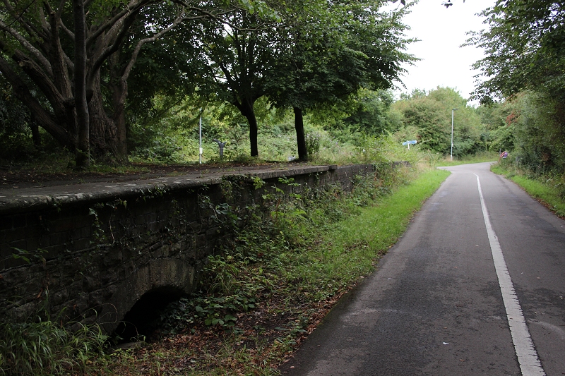
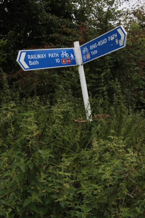
The Bristol-Birminham platform looking towards Bristol. The signal
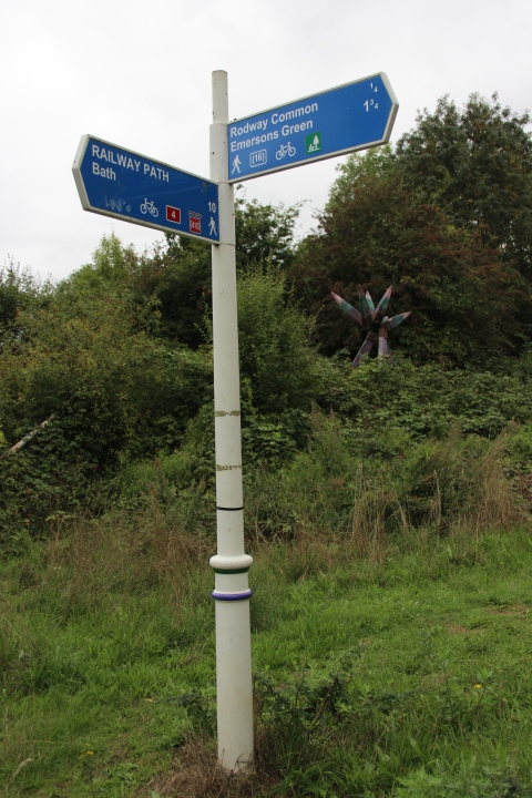
box stood around the spot of the signpost and lamp
standard up ahead.
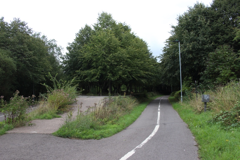
The island platform ramp at the Bristol end of the station. Towards Bath.
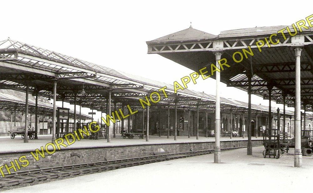
Looking across the platforms from the Up Bristol platform over to
the Down Birmingham platform in the back ground.
(Author Unknown). The photo can be purchased on the internet without
the water mark.
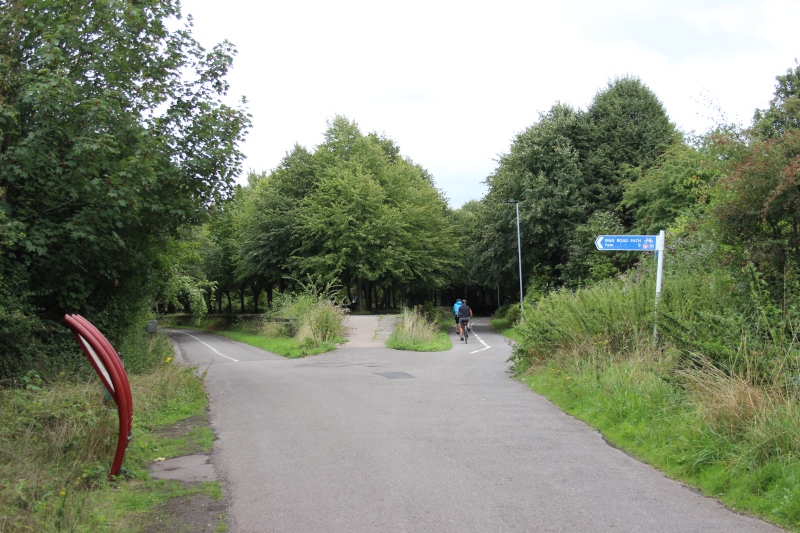
Bristol end of the island platform. Birmingham to the left, Bath to
the right. The way board to the right stands close to where the
signalbox stood. (See below).
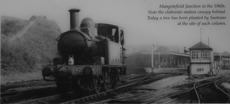
From close to the photo above. A good indication as to the scale of
the platforms and station buildings. The Rodway Hill footpath
is seen to the far left.
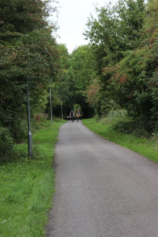
Southwards towards Bristol.
======================================================================================
To: Mangotsfield Junction To Bristol
Other railway walks:
The Dundee & Newtyle Rlwy Walks Opened in 1831 the route had three incline planes. The first was from the terminal station on Ward Street,
up the Dundee Law, where there was also a tunnel. The second was the Balbeuchley incline at Rosemill and the third at Hatton that ran down to
Newtyle station. It was also the very first passenger train service in Scotland. Worked by Horse over the levels until the first steam engine was
purchased in 1833. Came under the Caladonian Railway with it's terminal moved to Dundee West station. Passengers service ended in 1952 and
the line totally closed in the mid 60's. The inclines were by-passed in the 1860's.The Cromford & High Peak Incline railway in Derbyshire has been luckier in having much of it's buildings, including an Engine House preserved. This
is what could have happened with the D&N, indeed, should have happened with at least one of the D&N inclines. However, the C&HPR gives an excellent
comparison of what the D&N would have looked like, albeit the inclines were only single track.Boddam To Ellon Branch (Walks) By Bill Reid. Ex GNSR branch line
Dyce To Fraserburgh and Peterhead Walks. Ex GNSR
Bath To Wellow Rlwy Walks Ex Somerset & Dorset Rlwy.
Charwelton To Woodford Halse Ex GCR (London Extension).
Contact: reidcrcwdr@talktalk.net
Hosted by www.theatreorgans.com