.jpg)
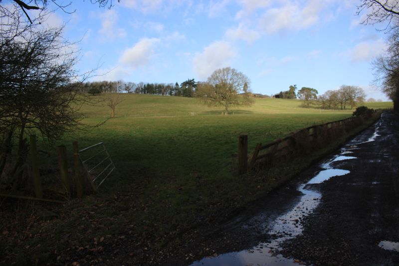
Follow the bue line for my walk from Byfield Road to the old water tank site.
WOODFORD HALSE WATER TANK
(February 1st 2020)
I missed reaching the site of the Water Tower on my previous visits. However, on the 1st February 2020 I managed a visit
to Woodford Halse for a public open day of the Woodford Halse Model Railway which I have been trying to get to for many
years but as they only open on a Wednesday at 7pm I would not have a bus back to Banbury. However, on this occasion the
Club was open from 1pm until 4pm on a week day. I also took the opportunty to get to the Water Tower site at last.
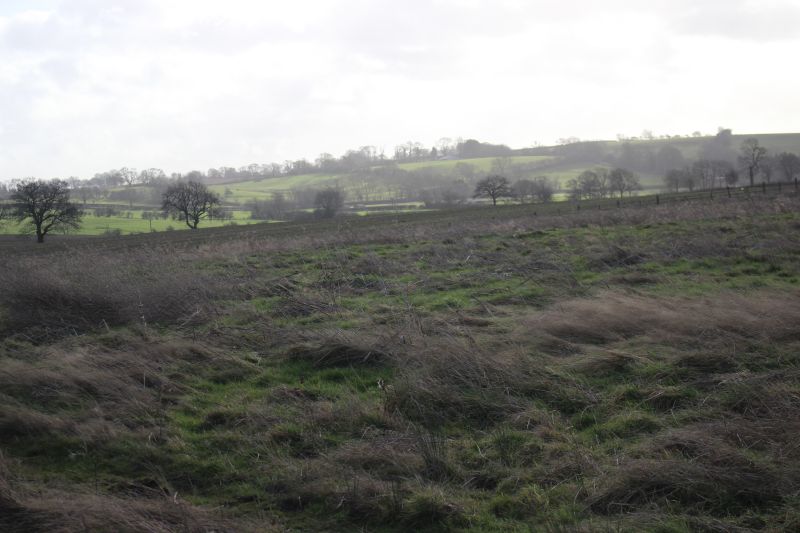
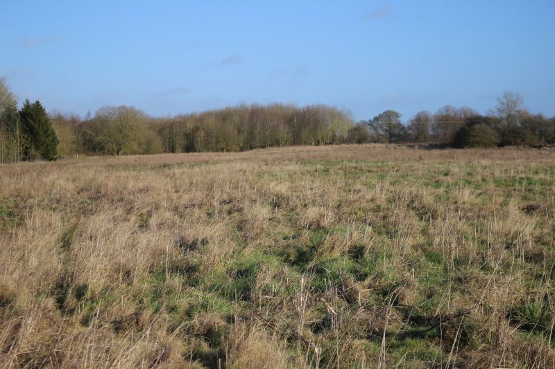
For February the weather was exceptionary sunny and mild. However, there had been a lot of rain prior to this and the going
was quite wet and muddy in places. I got onto the Ex goods yard site from an opening at the side of the Jurrasic path close to
Charwelton Lodge.
Follow the bue line for my walk from Byfield Road to the old water tank site.
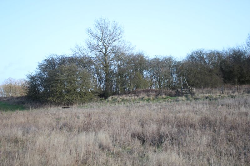
Jurrasic Foot Path along side Charwelton Lodge. The path continues to Charwelton. However, the entrance for the field that takes
you onto the track bed is just here.
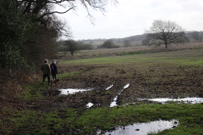
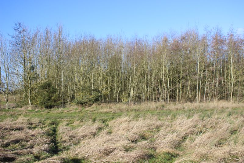
From the Jurasic Footpath just north of the Loco Depot site you can enter a field that is ungated. However, it is planted annually.
However, in the Winter it is quite easy to walk around the northern parimeter. Don't walk over the the field. It is very soft and
wet and you will get very muddy and perhaps get stuck. There is enough grassy edge to get over to the track bed which is to a
higher level.

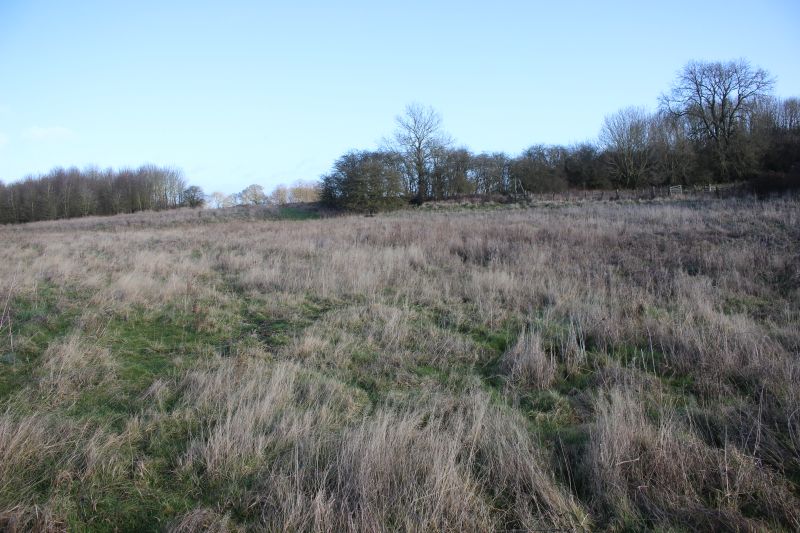
You also pass a culvert with a stream running below the goods siding to the west side.
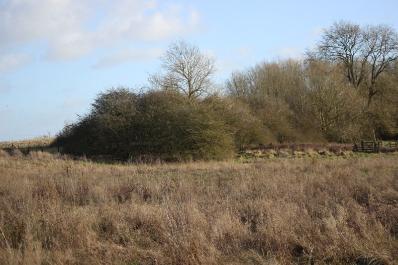
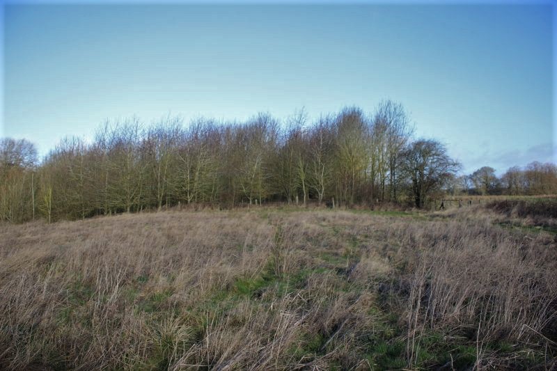
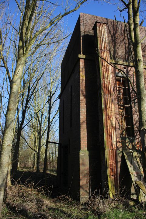
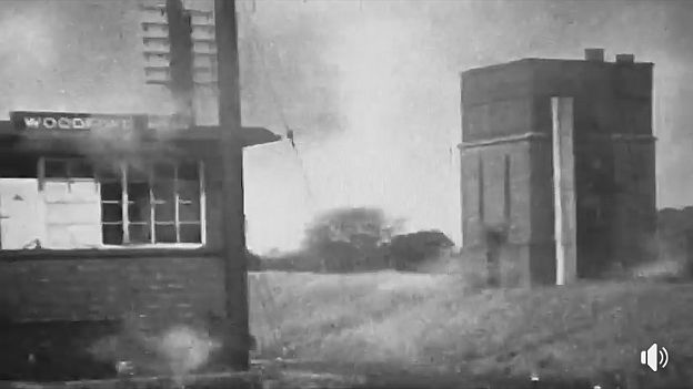
Once up on the track bed you come across the remains of a Water Tower that was part of the Brick Works.
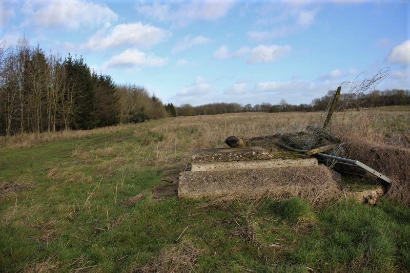
The brick works ran through the line of trees on the left. It was quite a long site with a goods line from Woodford station that fed
traffic too and from the works but also extened to the north end where there was a working clay pit. The railway land all around
was that of the large Goods Sidings built during WW2. A large water tower, that still exists stood on the far north west side, just
up in the trees in the distance. There was also an access farm path across the whole width of the railway with a bridge over the
two main lines. nothing remains of this today.
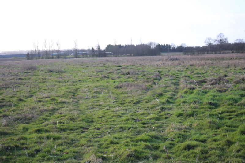
Looking southwards from the same spot. The way is blocked by a farm. You can just make out the present day industrial estate
that is built upon the old locomotive depot site.
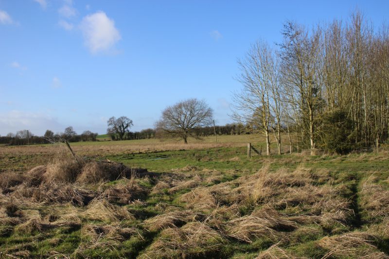
This is a reverse view back across the field to the Jurassic path. The remains of the water tank to the left. The brick works was
within the tree line to the right.
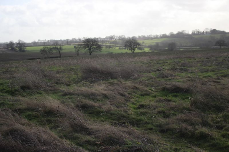
From the same spot looking eastwards across the site. It is noticeable that the ground around here is much darker than the rest of
the site. I would think this is due to the amount of weed killer that was used by the ralway over the years and only the wildest of
grasses will grow here.
Ditto.
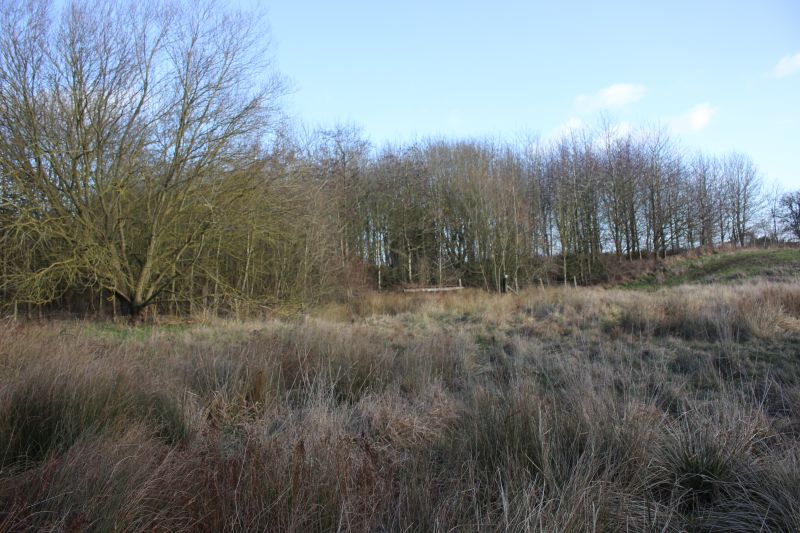
Ex Brick Works site.
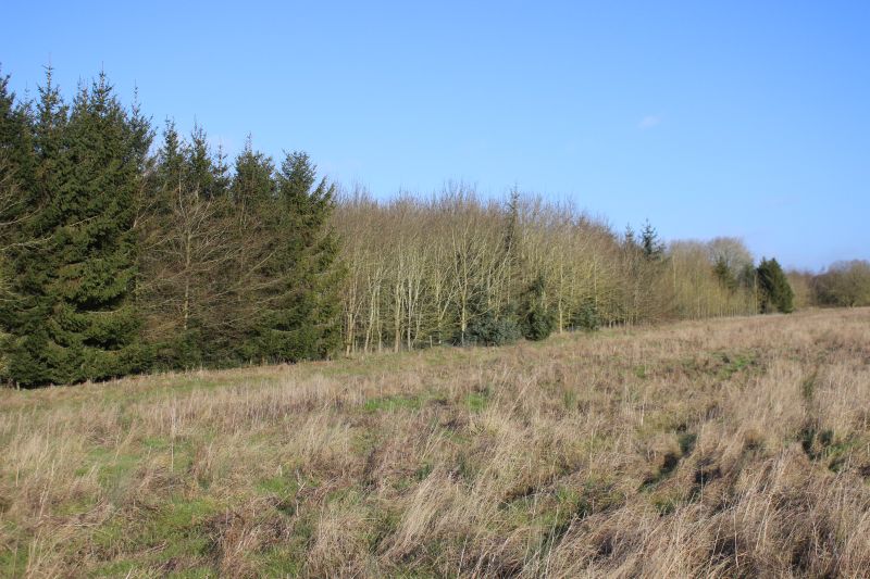
The brick works ran within this wooded area. I am standing on what was the main line.
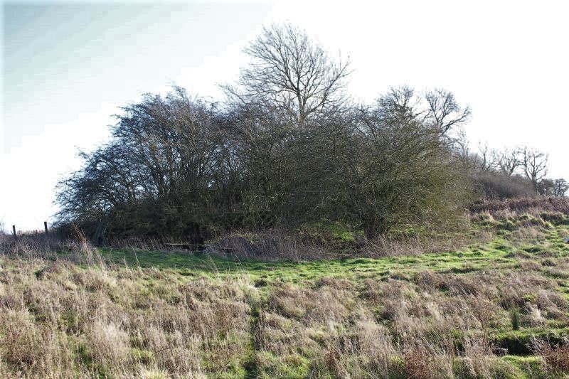
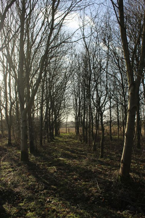
It is a fair walk to the water tower and you find yourself dodging very muddy spots all the way. Unless it is very dry I would
recommend walking along the edge of the fenced-off bick works site. The water tank is within the trees at centre right.
Difficult to think that this was massive sidings with a main line running down the centre. The footpath and over bridge ran across
this scene.The cut-off embuttment is over by the trees on the right.
The fence to the right leads into the field with the remains of the old path off the over bridge that went up to the field behind.
Looking northwards again towards the site of the large water tank remains.
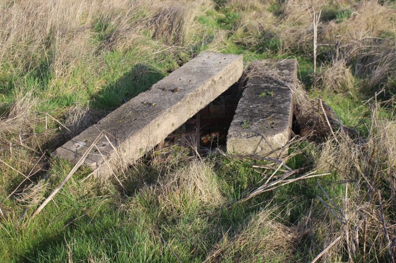
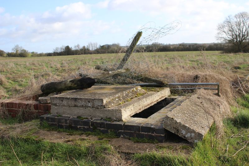
These are either concrete sleepers or part of an old railway building.
My initial thought was that this was the remains of the eastern embuttment of the access over bridge. However I am standing what
was under the arch of the bridge where the path tappered down to the field level. The path only went into the field but not
beyond it.
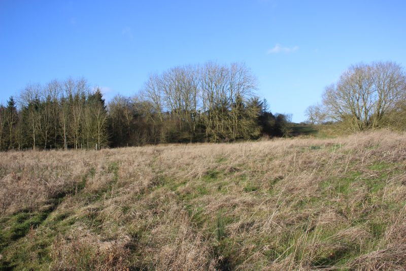
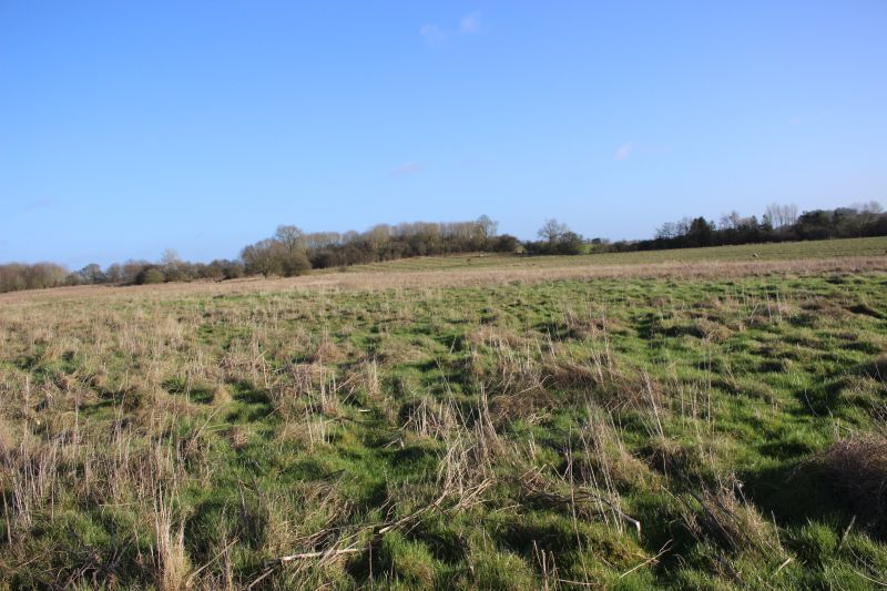
Looking to the east from the same spot towards the old clay pit. This would have been under the over bridge and the embankments
all the way across this site.
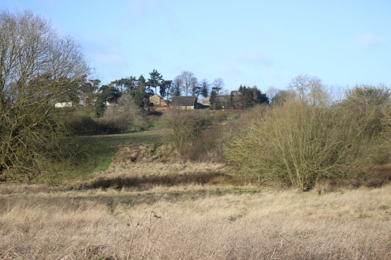
The remains of the clay pit with Charwelton Lodge on the hillside beyond.
.jpg)
The same spot as above but looking northwards.The stop block at the end of the Brick works was just in the trees to the left,
with the Clay Pit site in the space ahead of it. The tree ahead is the same one on the right in the photo above.
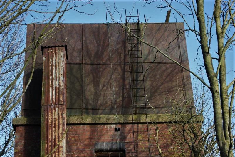
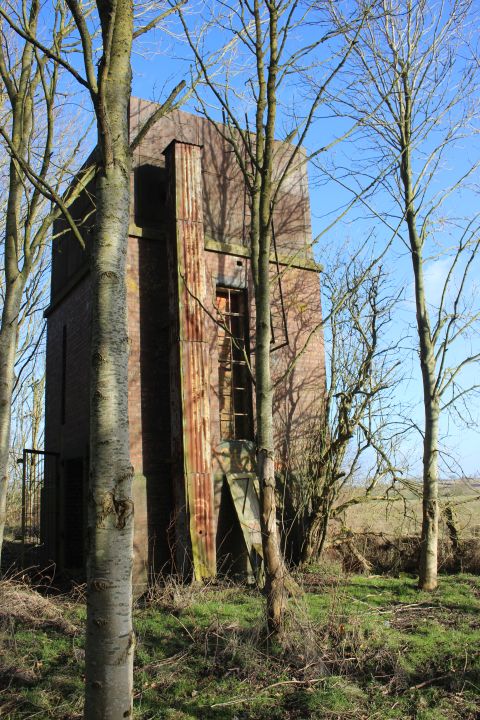
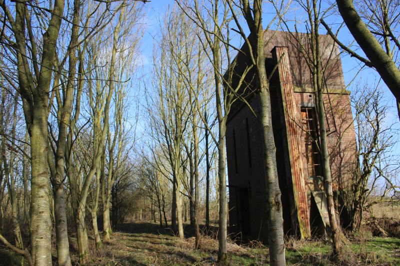
Looking northwards one again. Even this close and in February you still can't see the water tank clearly.
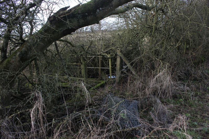
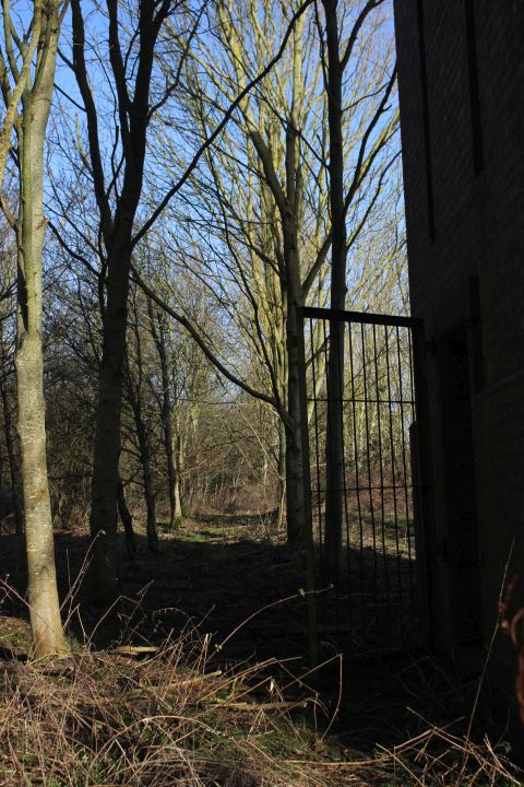
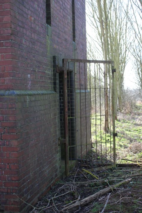
While the way is fenced off, just to the left there is an old gate in the fence that is open and allows you to enter the water tank site.
The tower is just in front of you. It is just visible within the trees. I am standing on what was the main line heading to Charwelton.
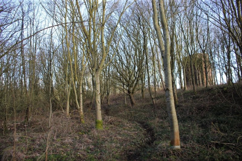
The entrance is both muddy with lots of tough Bramble branches to get caught on as you scramble up to the site.
Woodford No. 1 signal box stood on thew left.
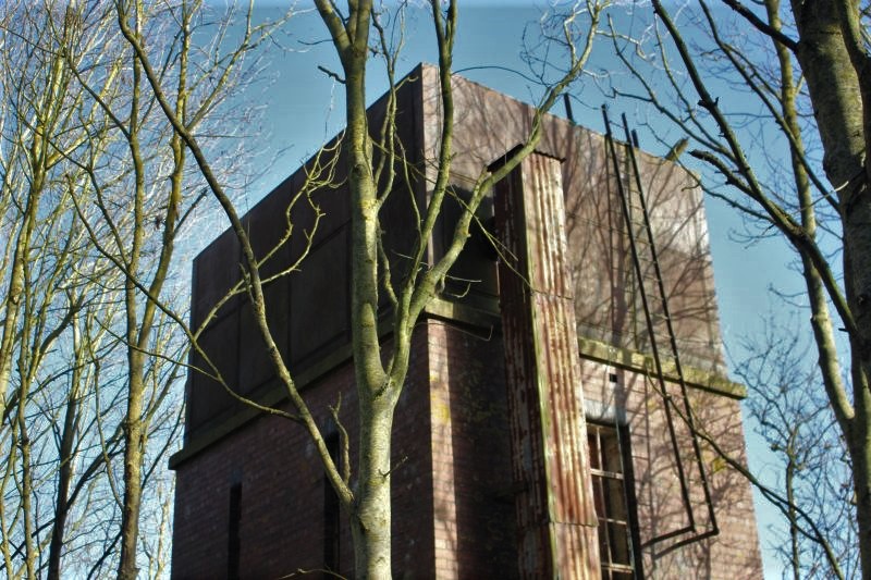
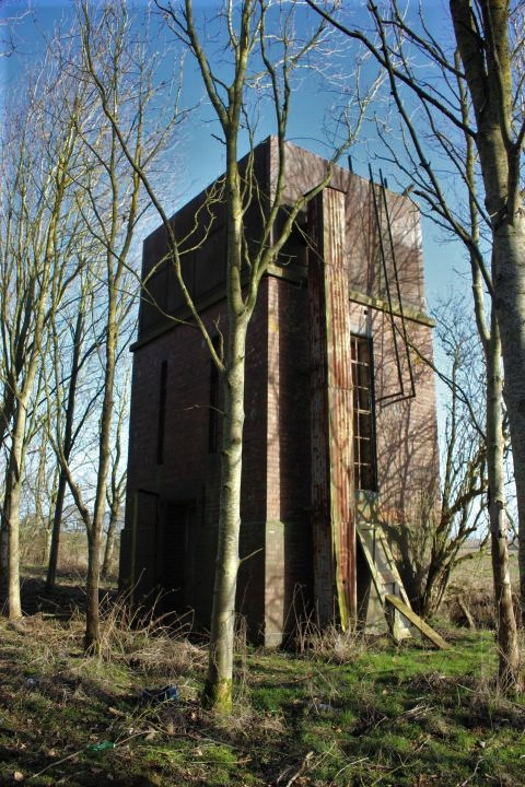
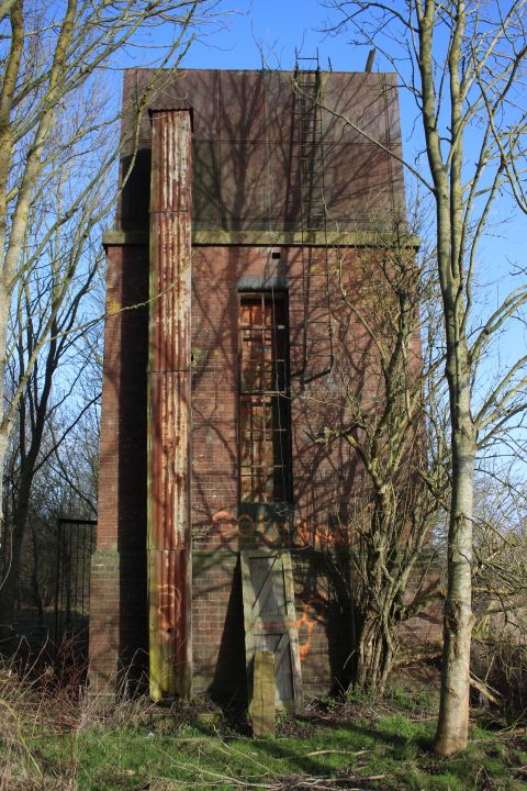
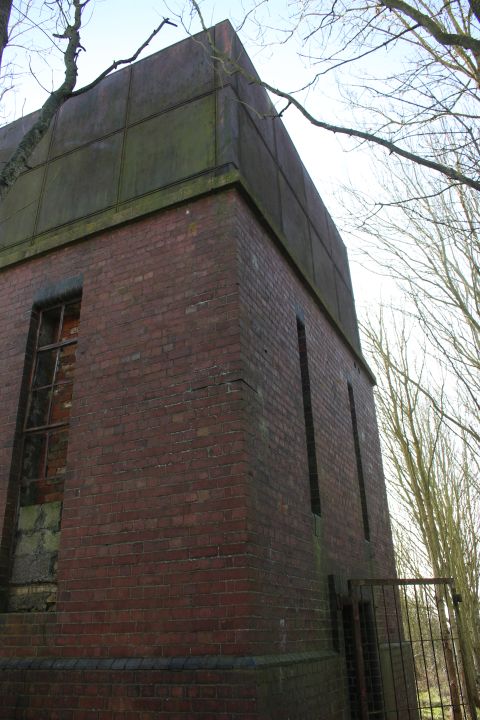
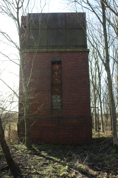
The south side of the water tank.
South side of the tank.
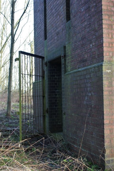
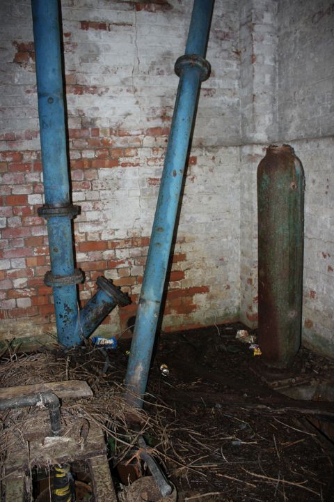
The Interior
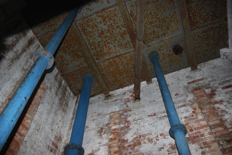
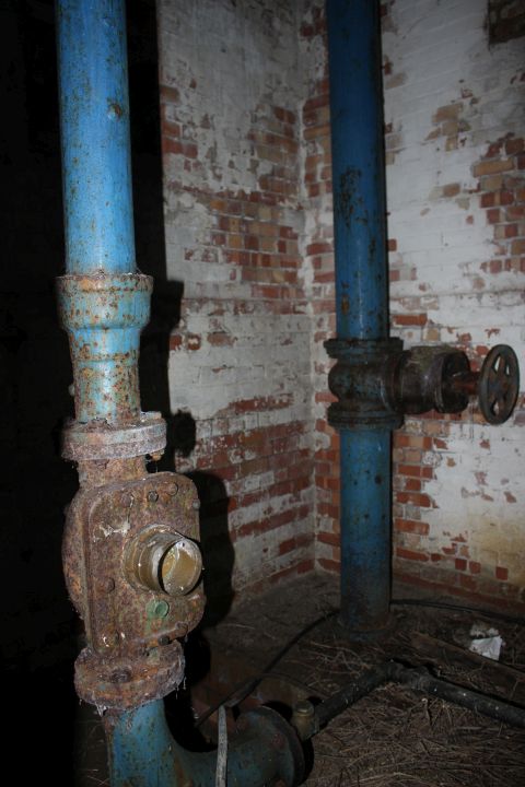

The mains fittings. On the floor.
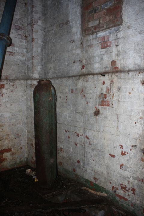
North side, looking south. Right: It looks as if you can keep going southwards but a fence runs across this area.
The south wall. Looking northwards.
Looking northwards. It looks as if you can continue but again the way becomes too dense.
The water tank was on the east side of the embankment by Woodford No. 1 signal box.
(Video screen grab).
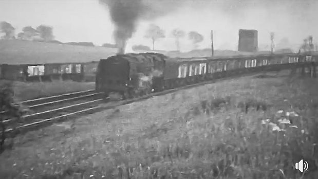
A coal train heads towards Charwelton water troughs with the water tank to the right. As explained
previously. The tank was not for the water troughs but fed the whole of the WW2 Goods sidings.
Note too that sidings ran all the way past the water tower'
(Video screen grab).
Proving how impossible it is to walk the track bed from this spot to the site of Charwelton water troughs. You do have to return
to the Jurrasic footpath where I started to continue on to Charwelton.
It was very interesting to finally see this water tower and have a good look in and around it. It is nice too that it still remains after all these years.
=====================================================
Woodford Halse Water Tank (Video)
8. Woodford West Junction To South Junction
To: Charwelton To Woodford Halse Walks Index
Other railway walks:
The Dundee & Newtyle Rlwy Walks Opened in 1831 the route had three incline planes. The first was from the terminal station on Ward Street, up the Dundee Law,
where there was also a tunnel. The second was the Balbeuchley incline at Rosemill and the third at Hatton that ran down to Newtyle station. It was also the very first
passenger train service in Scotland. Worked by Horse over the levels until the first steam engine was purchased in 1833. Came under the Caladonian Railway with
it's terminal moved to Dundee West station. Passengers service ended in 1952 and the line totally closed in the mid 60's. The inclines were by-passed in the 1860's.
The Cromford & High Peak Incline railway in Derbyshire has been luckier in having much of it's buildings, including an Engine House preserved. This is what could
happened with the D&N, indeed, should have happened with at least one of the D&N inclines. However, the C&H gives an excellent comparison of what the D&N
would have looked like, albeit the inclines were only single track.
Boddam To Ellon Branch (Walks) By Bill Reid. Ex GNSR branch line.
Dyce To Fraserburgh and Peterhead Walks. Ex GNSR
Bath To Wellow Rlwy Walks Ex Somerset & Dorset Rlwy.
Contact: reidcrcwdr@talktalk.net
Hosted by www.theatreorgans.com