
WOODFORD HALSE RAILWAY WALK
(13th September 2018)
(Updated 27th Sept 2018)
(Update 4th October 2018)
(Updated 22nd Feb. 2019)
(3 old photos added Nov. 2019)
WOODFORD WEST JUNCTION TO WOODFORD SOUTH JUNCTION
52 years to the month since the closure of the Great Central Railway London Extension from Annersley Junction to the north
of Nottingham to London Marylebone station. The line closed on the 26th Sept. 1966.
==================================================
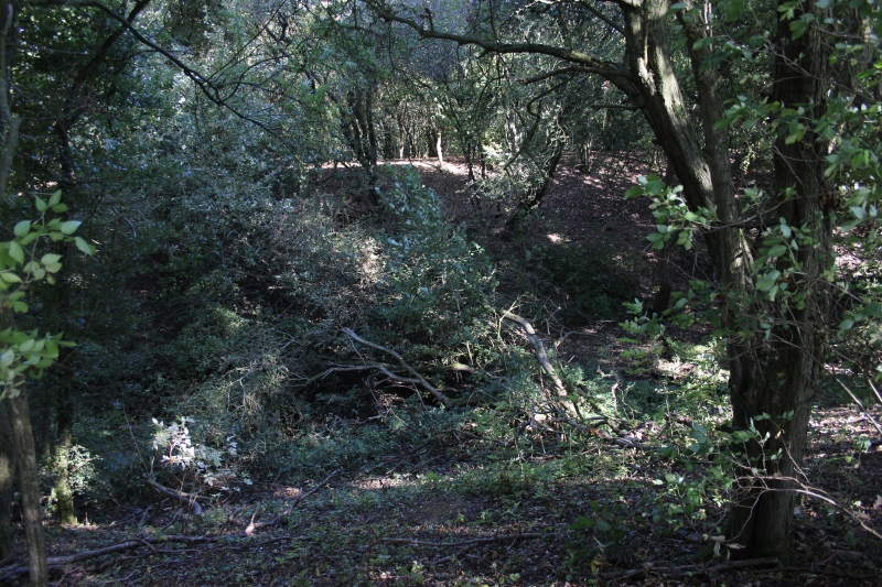
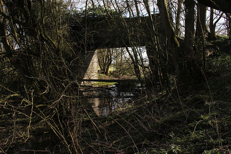
My final walk of the day was to search out the sites of Woodford West Junction and South Junction. Apart from the two bridge that served the S&MJ
branch and the Curve from West Junction to South Junction there is nothing 'railway' to be seen. Both stubs end at their junction site.
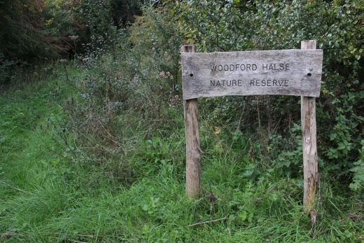
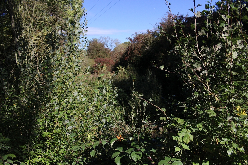
The area from the two bridges to West junction are known as Woodford Halse Wild Reserve. The S&MJ section to where it crossed the GCR main line is
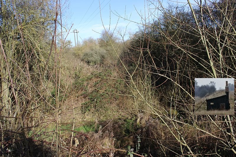
totally impassable. The cutting up to South junction is also impassable. You have to take to a foot path up on the south side to walk up to the over bridge
just short of South Junction itself then turn back. Likewise, the site of West Junction is also a dead end.
I first walked up to the West Junction site, then took the S&MJ cutting up to where it stopped short of entering Woodford Halse station. I concluded the
visit by walking back to the West Junction site then walking up to as close as I could get to the South Junctions site. I then got back up onto the two
bridges and walked into Woodford Halse and then a bus back into Banbury. The area is interesting but it's a shame that there is no railway artifacts
to add to that.
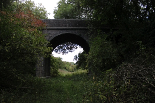
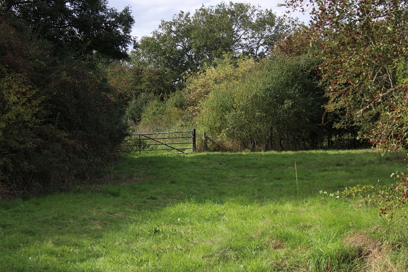
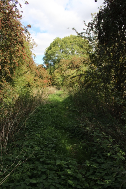
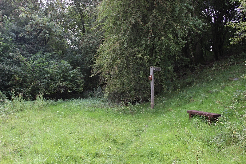
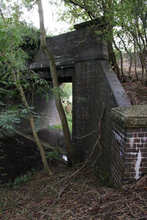
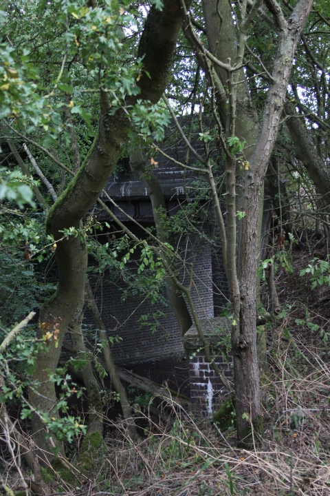
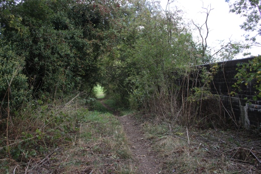
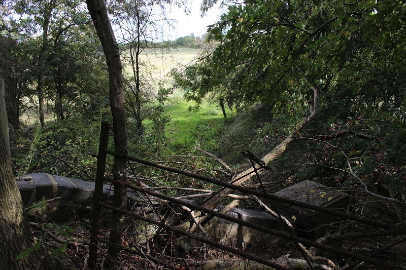
Start of the walk from the two bridges up to West Junction and the S&MJ curve.
Update: Close to Harley Equestrian where you have to go through two sets of gates to continue up to the West Junction site.
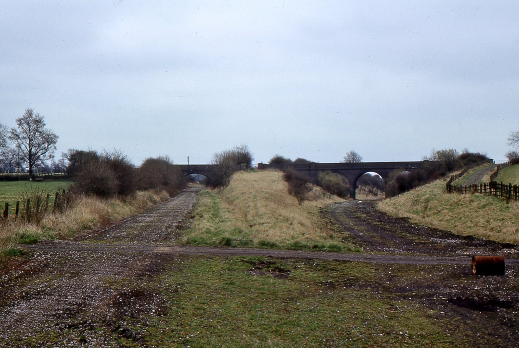
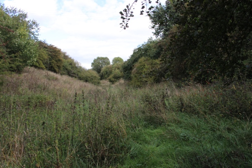
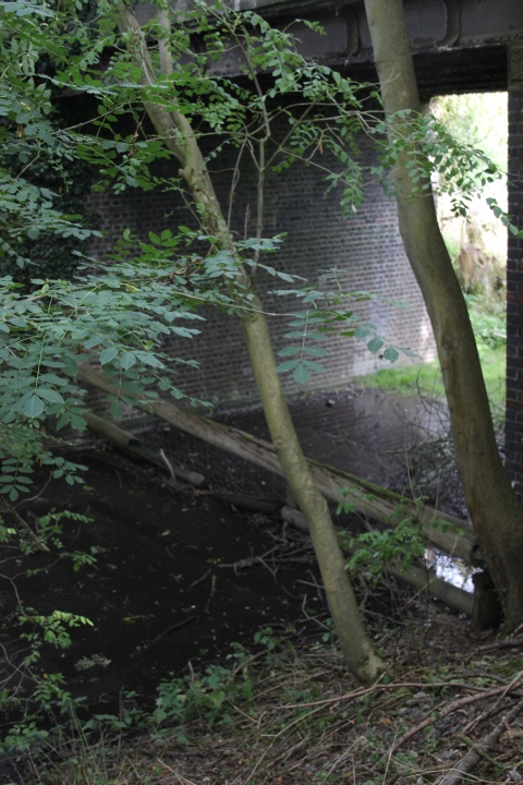
Looking west. This is the spot where the Ex S&MJR took a left hand divergence from the South Junction cutting and made a
steady climb to pass below the S&MJR side of the two bridges to where it went over the GCR mainline.
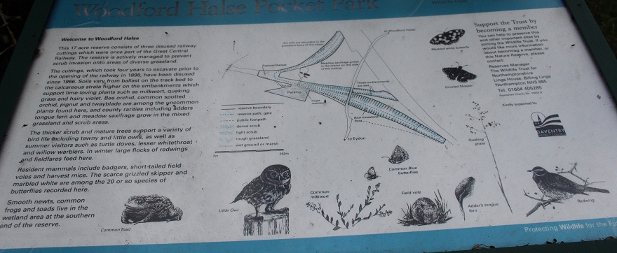
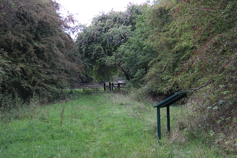
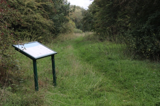
The notice board gives details of the various creatures to be found within the reserve. Note how the mainline from South Jctn to Woodford
station is shown blanked off. You can't get on to that section due to being private land and the track bed in a thick wood.
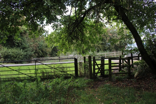
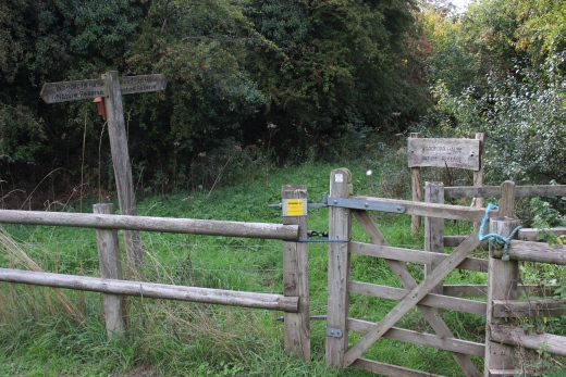
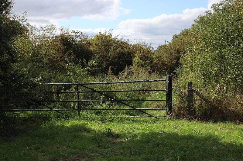
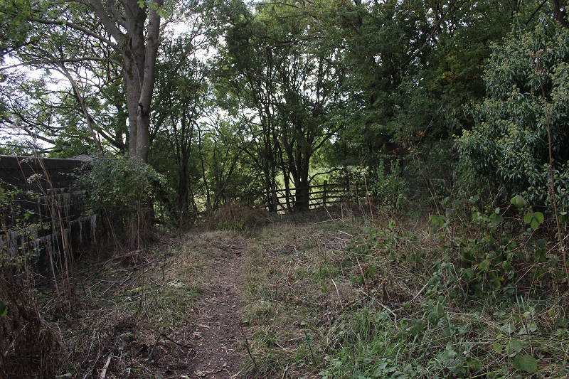
The gates on each side of the Harley Equestrian entrance path.
Close to the same spot as the photo above. John Evans has caught the scene well after the track had been lifted.
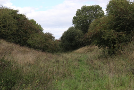
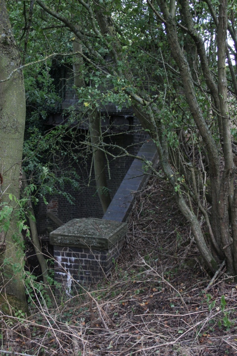
The S&MJR climes up to the north of the two bridges and up to where it crossed the main line. The West curve
heads through the cutting towards South Junction. Between the two bridges is the gate that is now for the footpath
down this embankment to get onto the Woodford Nature Reserve by the road entrance of the equestrian site.
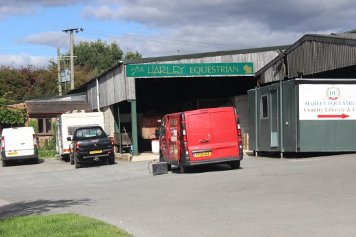
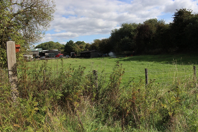
Harley Equestrian. It has a very nice cafe and shop.
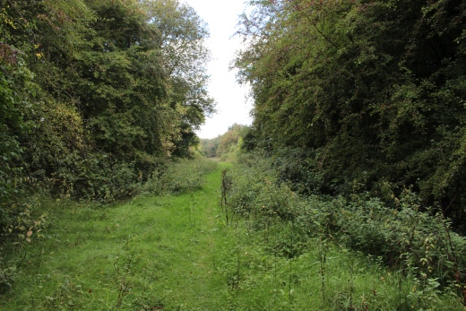
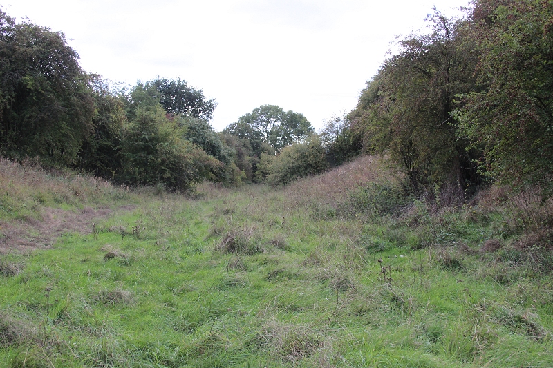
Through the south side of the gated road and into the reserve, towards West Junction..
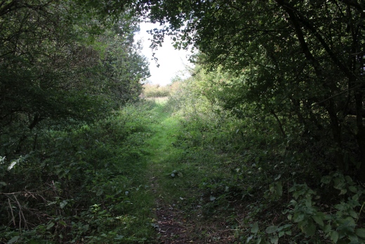
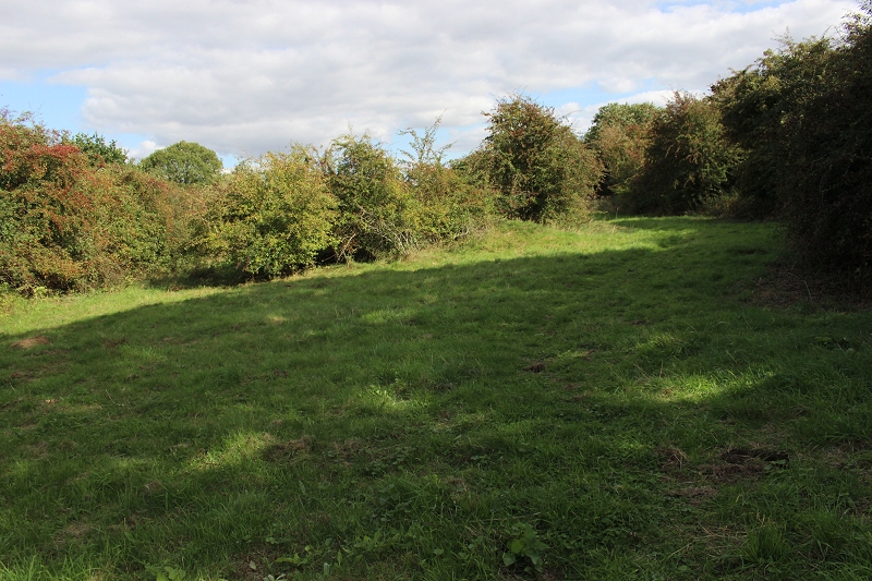
The track bed towards West Junction.
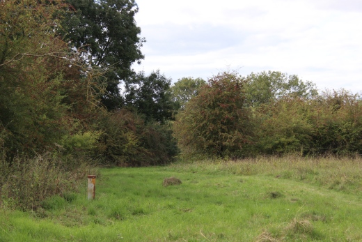
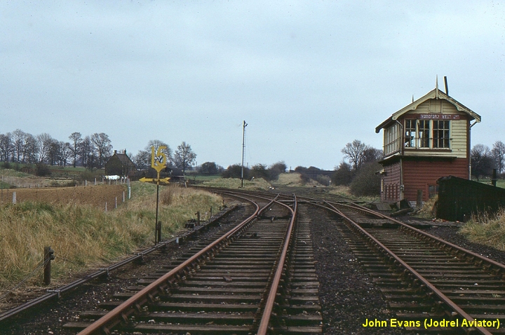
The site of West Junction Signal box that stood on the left. The curve into Woodford station is to the right.
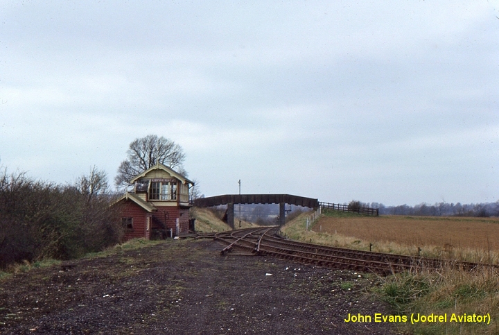
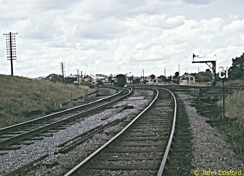
Close to the photo above. Woodford West Junction in 1966. The South junction and S&MJ towards Weedon line has
been picked up but the Stratford Upon Avon line is still working, albeit perhaps only as far as Byfield for the iron ore
quarry traffic. (John Evans Jodrel Aviator).
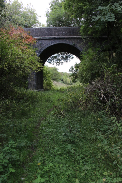
Site of west junction and westwards onto Byfield and Stratford Upon Avon. This is unpassable after a short distance. The over bridge
seen in the photo above is still there and probably approachable.
Reverse view from above. The Woodford station curve to the far left and the two lines to Towcester and Weedon and to
South Junction for Banbury and Marylebone to the right.
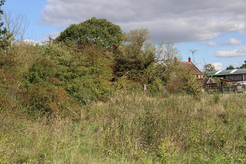
Close to the photo above. Another great photo by John Evans. 4th April 1966. The house seen to the left is where the
Harley Equestrian is today. (John Evans).
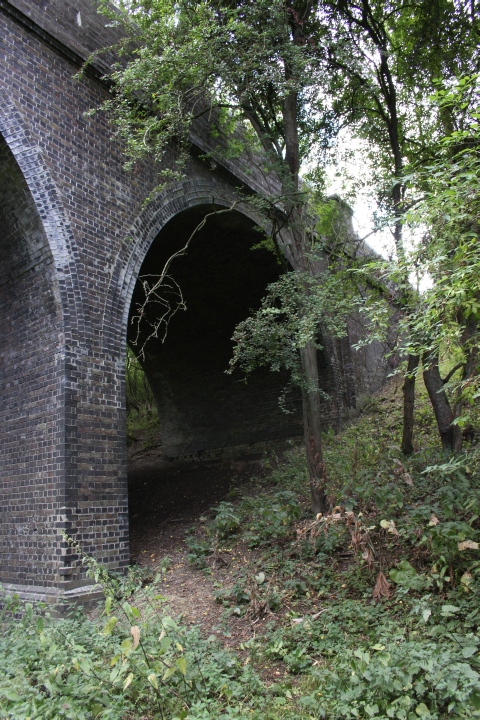
You have to climb over this fence and into the S&MJ cutting towards the station. Right: Harley Equestrian and the Blisworth and
South Junction curve run through the line of trees to the right.
From here it looks as if the cutting is completely cut off towards the station butthere is fence with a step-over to get into
the cutting.
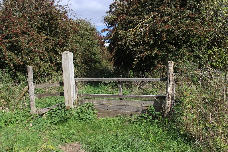
The way into the cutting is over a gateed way.
.JPG)
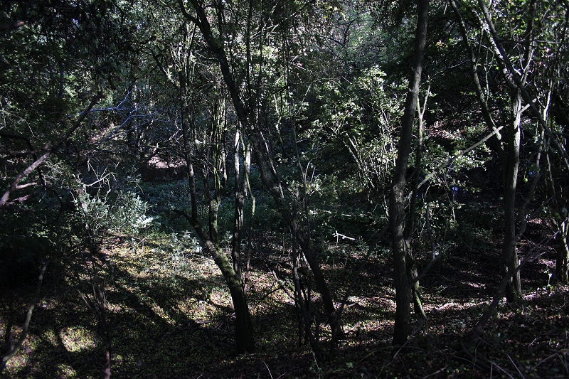
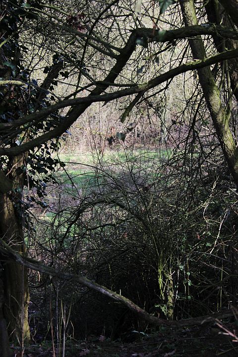
It is quite dense through the cutting.
Into the cutting toward the station site.
Looking towards the station end of the Cutting.
.JPG)
'Blocked' End of the cutting. Woodford station site is just behind, where the lines came up from Birdcage bridge. The JCB site is
just behind. (See below).
Another fine photograph by John Cosford. Difficult to believe this was the view that was seen from above.
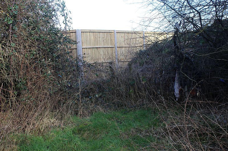
More change. A wooden fence now blocks off curve towards the station. (1st February 2019).
---------------------------------------------------------------------------------------------------
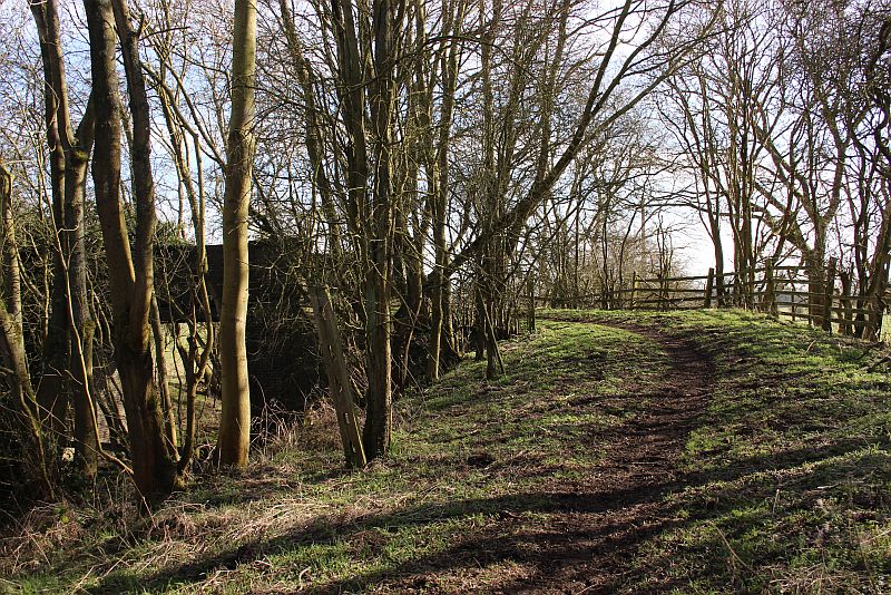
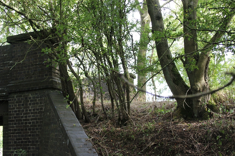
Back at the two bridges, on the route to South Junction.
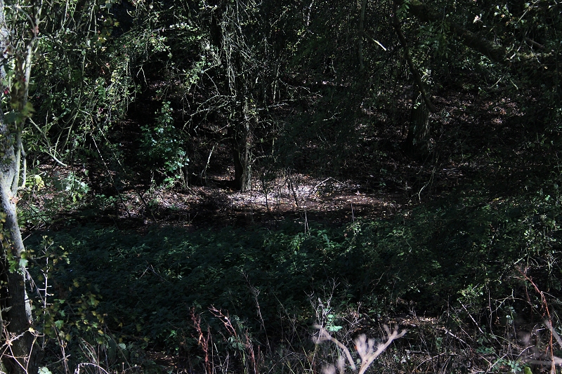
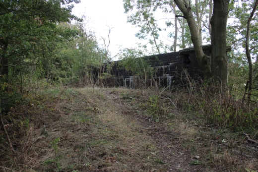
As far as you can get, just short of South junction site. However, there is a footpath up the righthand side where it may be
possible to get around the barbed fence. (From previous visit to this site).
On my latest visit (13th Sept 2018) I took the Footpath to search out what remains of South Junction...........
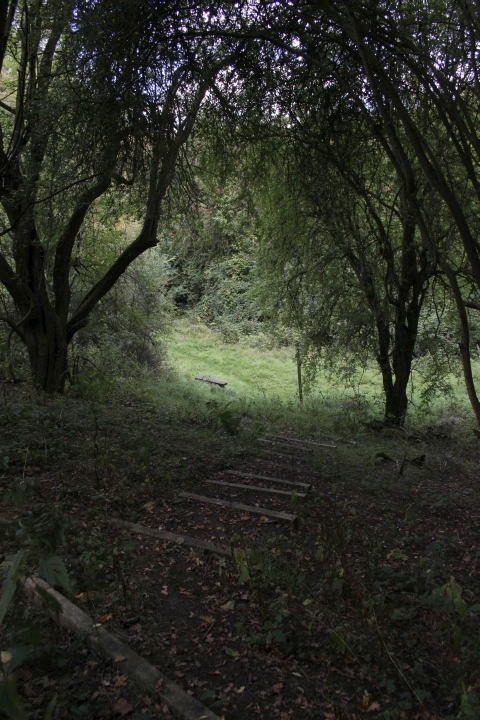
Looking down the steps leading up to the footpath that runs along the
south side of the railway cutting, westwards towards South junction site.
Update: This is actually the site of South junction, where the two lines diverted. The junction site is impassable.
=========================================================
Update 4th October 2018
From another walk around and from learing more about the area from Google Earth and Maps I have been able to work out approximately
what I was looking at and where the junction actually was and where the two Cuttings parted. It's a case of not being able to seethe wide view
that formed the junction but that I was actually looking at it from a side view along the south side of the footpath to the Footpath over bridge
but the gap is completely hidden in the over growth.
As above left. Close to where the two cuttings separate at the junction site. Still in the West Curve cutting.
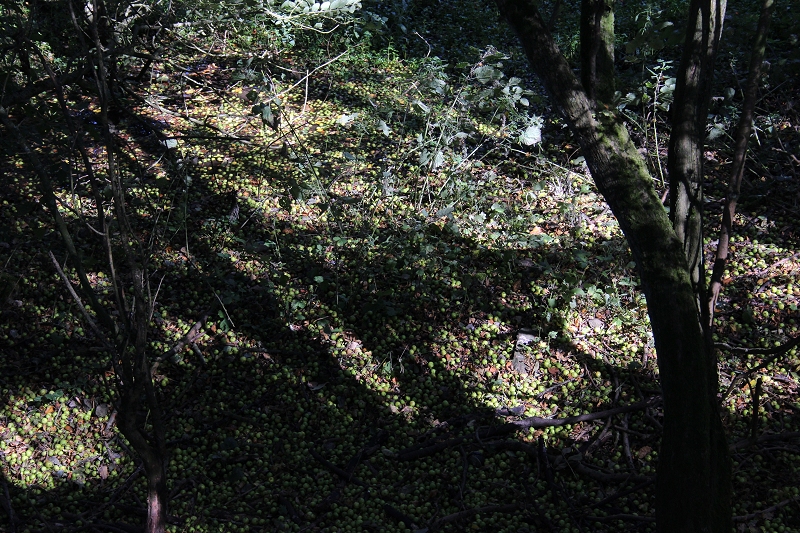
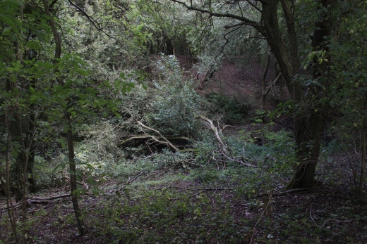
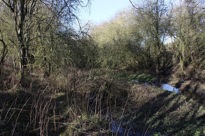
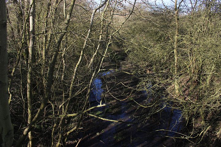
This and the photo above is where the actual South Junction layout was. The track bed is quite deep in water but the
thousands of fallen Crab Apples make it appear to be firm ground. It would be foolish to try and go in there.
3rdMarch2023).jpg)
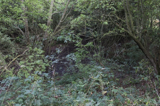
Approximately the same spot in March 2023. From the footpath. The over growth is at it's lowest and the west curve
embankment splitting the two cuttings is more clearly seen and is quite full of water. You see the new quite heavy fencing
that has now been installed all around the two sides of this cutting and footpath and up to the over bridge.
I would think this is the widest point where the two lines and cuttings parted. You just can't see far enough across
the site.
I am sure that this is the only spot where you can make out what is the gap area between the two lines. It is easier to see
the depth between the branches in the foreground and the trees in the back ground in 3-D. The signal box would have
been at track bed level directly below the treeline in the back ground. Perhaps you can see more in the Winter months.
This is close to approaching the Footpath over bridge (To the right).
The same spot as above on the 22nd of February 2019 where the embankment tapered down to track level at South Junction
and where the Ganger's hut had stood between the two cuttings. (Cropped from John Cosford's photograph). The area around
the hut was level and quite grassy and green, which you can just make out across the lower third of my image.
Another photo showing the green area between the two cuttings.
(22nd Feb. 2019)
This is as close as I could get to where John Cosford took his photo just some yards north of the footbridge. Scrambling
down the embankment from the footpath to the edge of the track bed level. It's a pity that the way ahead is just so dense with
over growth otherwise you would see the gap. The east side of the Up main embankment is just noticeable on the right.
(22nd Feb. 2019).
(JohnEvens).jpg)
South Junction in the 60's. towards Woodford Halse. The link to West junction on the left that took trains on to
Statford Upon Avon. In the background, center right is the remains of the S&MJ bridge over the mainline as it
headed for Towcester. The link to West Junction only lasted a short time, closing in 1900 and being used as a siding
at West Jctn. I do plan another visit to the area in the hope of being able to get down the track bed to
Culworth Junction. (John Evens).
Again, on the 22nd of February 2019 approaching the footpath over bridge at the site of South Junction. It appears that the
flooding is caused by a Spring bursting out of the ground around where the two cuttings separate. It runs quite fast and in
theWinter months floods some yards on the south side of the bridge where the crossover had been. In the Summer I was
able to get right up to the south portal of the bridge but in February it was well under water. The sourse of the Spring
would have to be stopped to ever make this spot walkable. N.B. This is now completely fenced off to the public (March 2023).
See more of this area in the Woodford South To Culworth Junction section.
=========================================================
Back up onto the footpath and onto the footbridge. (22nd Feb. 2019).
The track bed leading up to the Footbridge by South Junction site. It is quite deep in water and not passable. The mainline is just at the clearing. As this is in
the reserve, the water will aid many creatures to flurish. As mentioned above, this has since been heavily fenced off by the land owner. (March 2023).
Approaching the farm access over bridge just prior to the actual West Jctn site.
The footpath on the over bridge.
Up on the footbridge.
======================================================================
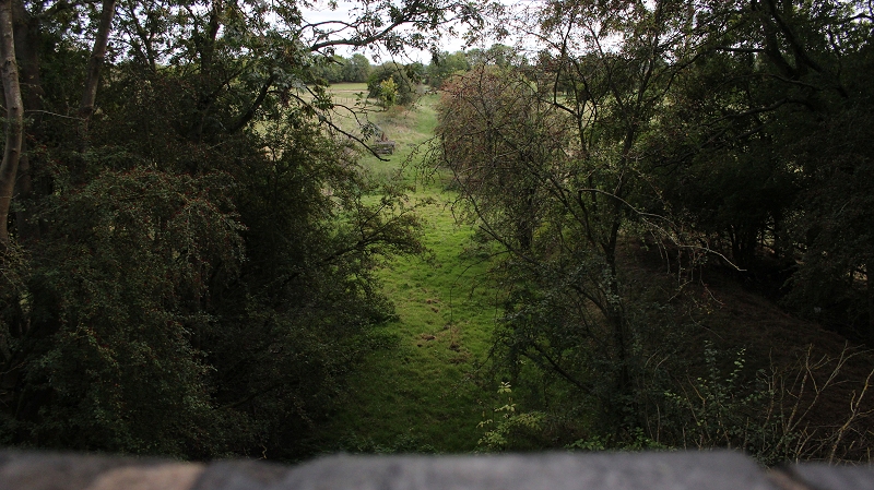
Looking northwards from the footbridge towards South Junction. An impossible view. (22nd Feb. 2019).
Again. Northwards from the east end of the footbridge. (22nd Feb. 2019).
===========================================================
Update: I was mistaken, what you are looking at here is the track bed just to the south of South Junction site. South junction
is, in fact in the thicket of the flooded cutting behind the camera. Note the old farm cart just up ahead, on the track bed.
3rdMarch2023).jpg)
From the same spot on the public footpath over bridge. A much clearer view of the track bed looking south towards
Culworth Junction. (March 2023). Sadly, the old Up split-distant signal has been demolished by the land owner.
3rdMarch2023).jpg)
A 200mm zoom view plus some cropping towards the next over bridge to the south. The two blocks of stone mark the
spot where the signal post had stood, Demolished after having missed the railway demolition and standing there since
the opening of the GCR London extension in 1899.
3rdMarch2023).jpg)
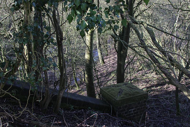
A grabbed shot by sticking the camera over and above the north side of the over bridge and looking down on the actual junction site.
Likewise, the brick cut-out of the signalbox site is hidden in the trees and bushes in the center background. (March 2023)
The track bed heading southwards to Culworth Junction. From the Footbridge.
On the 'Footbridge'. Final photo before walking back to the two bridges then back into Woodford Halse for a bus to Banbury.
UPDATE (27th Sept 2018)
I was mistaken about the position of the Footpath bridge above. It is, in fact to the south of South Junction. The area below is
within the cutting that is now flooded. The junction site is hidden below massive tree growth.
======================================================================================
To: Woodford West Jctn Towards Byfield
Other railway walks:
The Dundee & Newtyle Rlwy Walks Opened in 1831 the route had three incline plains. The first was from the terminal station on Ward Street,
up the Dundee Law, where there was also a tunnel. The second was the Balbeuchley incline at Rosemill and the third at Hatton that ran down to
Newtyle station. It was also the very first passenger train service in Scotland. Worked by Horse over the levels until the first steam engine was
purchased in 1833. Came under the Caladonian Railway with it's terminal moved to Dundee West station. Passengers service ended in 1952 and
the line totally closed in the mid 60's. The inclines were by-passed in the 1860's.The Cromford & High Peak Incline railway in Derbyshire has been luckier in having much of it's buildings, including an Engine House preserved. This
is what could have happened with the D&N, indeed, should have happened with at least one of the D&N inclines. However, the C&HPR gives an excellent
comparison of what the D&N would have looked like, albeit the inclines were only single track.Boddam To Ellon Branch (Walks) By Bill Reid. Ex GNSR branch line
Dyce To Fraserburgh and Peterhead Walks. Ex GNSR
Bath To Wellow Rlwy Walks Ex Somerset & Dorser Rlwy.
Contact: reidcrcwdr@talktalk.net
Hosted by www.theatreorgans.com