Braysdown Colliery Radstock Sepember 2020
Back
To Radstock Collieries Index
BRAYSDOWN COLLIERY (Radstock)
(1784 to 1973)
(From two visits on the 9th and
17th of September 2020)
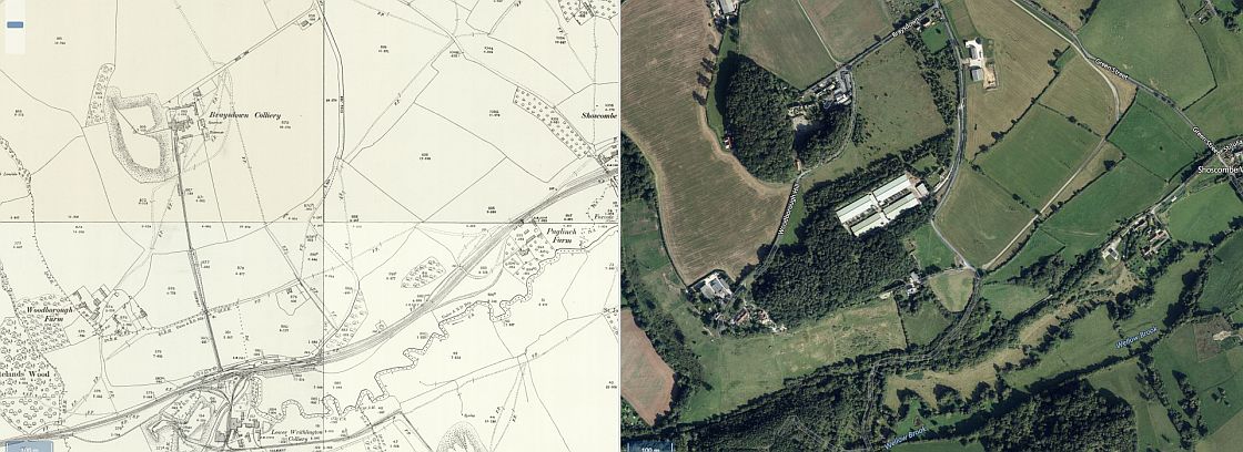
Braysdown
Colliery. High above Radstock between Peasdown St. John and Lower
Writhington. It was joined to the Somerset & Dorset Railway at
Writhlington sidings with an incline
railway. The only sign of the incline today is where it came out of
Braysdown quarry where it quickly disappears within the woods which
is on private land. You can still make out where it
went below Woodborough Hiill (Lane). From there the cutting
dropping down to Witherington sidings has disappeared below the
back-fill that is known as Braysdown Hill today.
The shaft at Braysdown was over a thousand feet deep. It was linked
to Witherington quarry by a tunnel. This was planned to do away with
the expense of the incline. However that never
happened but the tunnel was used on occasions.
It
appears to be an unusual incline in that if you divide it into three
sections, it came out of the quarry as a double line but just
before diving below the Woodborough Hill road it became a
single line until the final third of the line where it became double
track again down to the sidings. It would have been interesting to
see this line in opeation and what buildings was at the
bottom and how the wagons got onto the sidings for mashalling into
trains.
You can't
get through the coal mine site as it is completely fenced off. To
get to where the track bed came out of the colliery you hve to walk
down and around Woodborough Hill (Lane)
that takes down to private homes and businesses that is
another dead end for vehicles. However, you can follow a steep
footpath that will take you onto the S&D track bed at the
bottom.
This means that you miss the road and path on the next level down
where the incline dropped under Woodborough Hill (Lane).
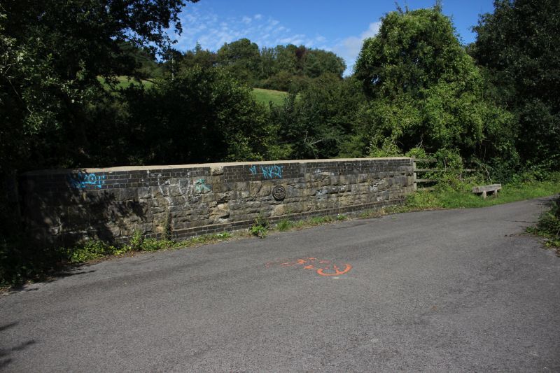
The Braysdown Incline was interesting in that it's top and bottom
halves were of double track but part way down where it dropped
below
a farm access road it became double again until it stopped at the
bottom where it joined Braysdown Sidings with the mainline. (NLS
Map).
On second thoughts, the map may be wrong! From the
Whitland and Tyning Green Space web page it states that the incline was a
'Self Acting' railway in that a loaded
wagon going down the incline would haul an empty wagon upwards. This would
have meant a double track throughout. The map is intesting but requires
more
information as to why it shows a single line section part way on the
incline.

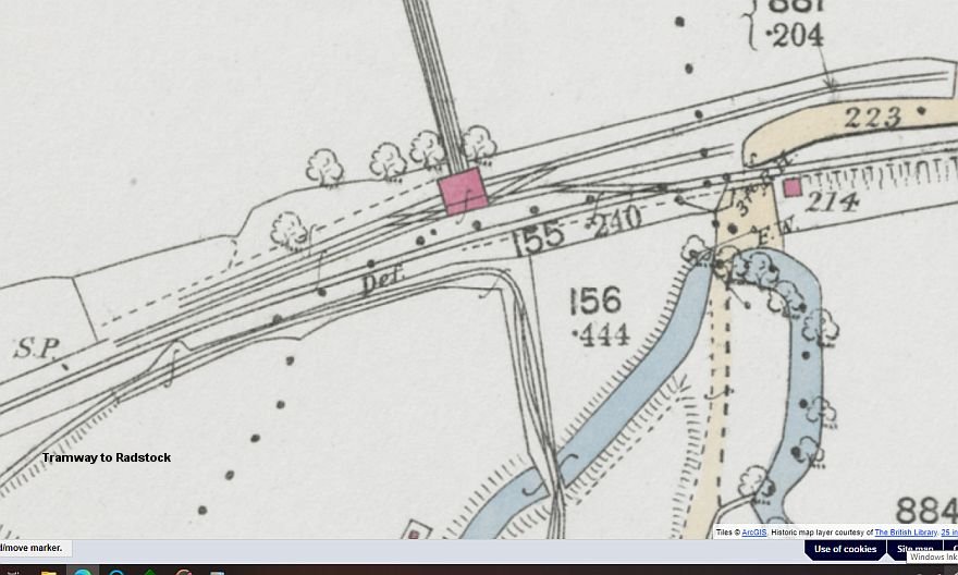
NLS Map 1888 to 1913.
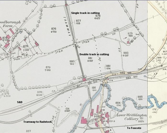
(NLS Map (1888 to 1913)
The lower half of the incline as it met up with the main line &
sidings. Midway between the under bridge and the bottom
of the incline there was another point where the single track section
became double again for the final drop to the
bottom. However there is nothing to see of the change point as this side
of the hill was completely back-filled to from
Woodborough Hill.
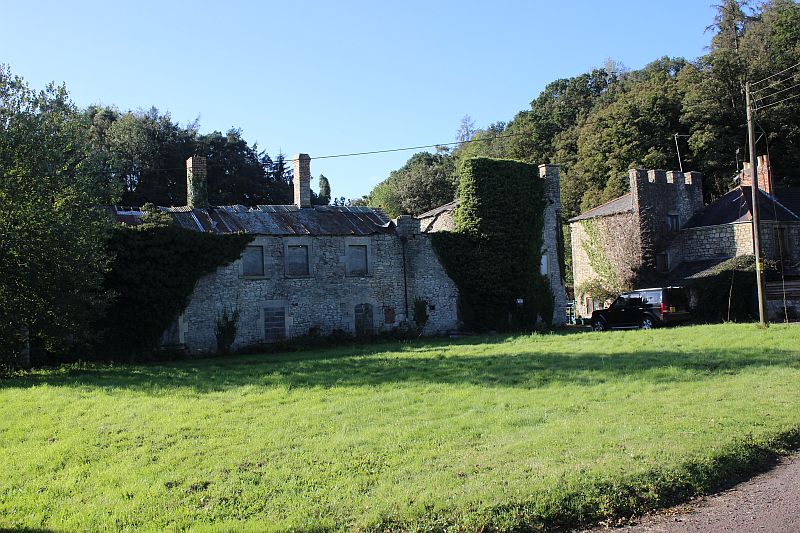
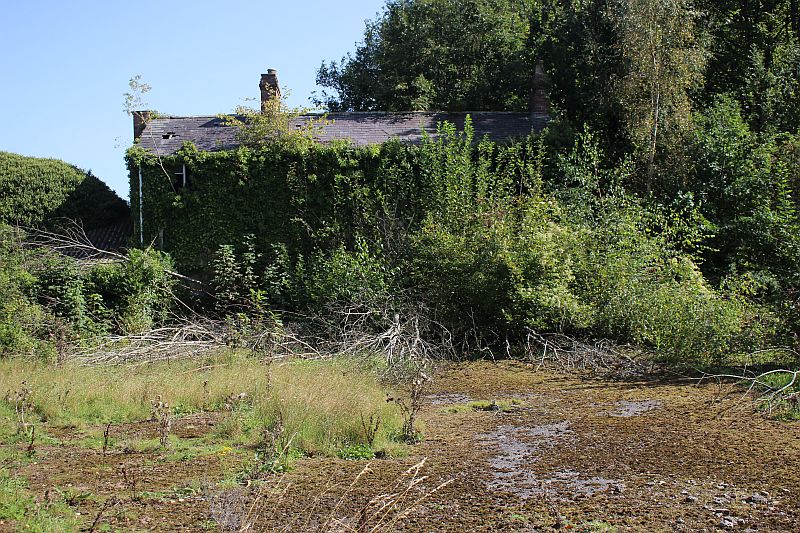
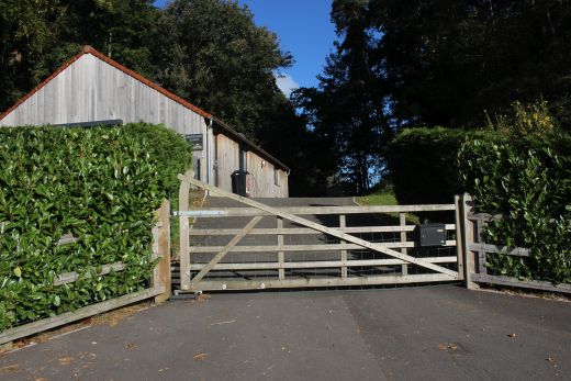
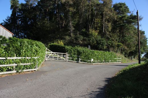
The entrance into Baysdown Colliery from Braysdown Lane. The front is
interesting as it had been designed almost like a
castle that helped soften the reality of this very industrial business.
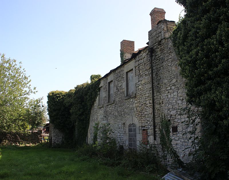
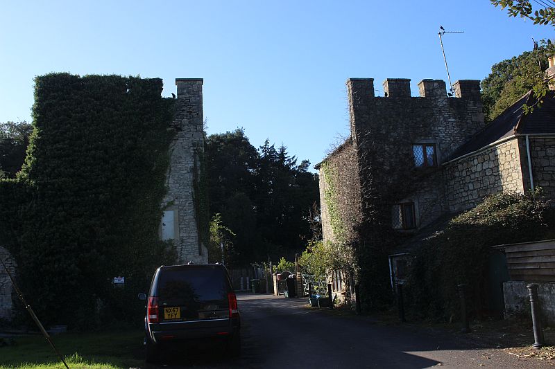
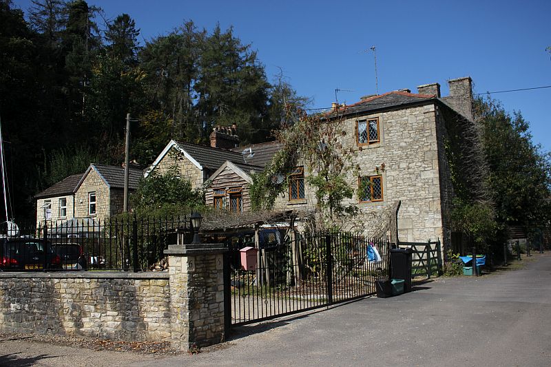
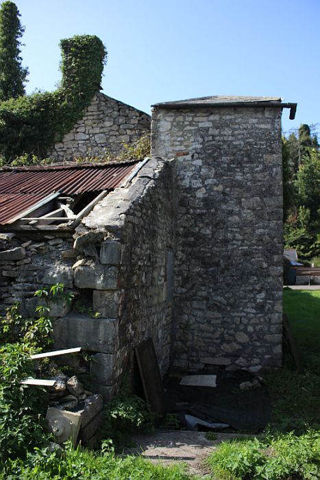
The main group of Ex colliery houses are in use as private homes.
You have to photograph pointing your camera through the fence to see into
the actual mine site, which is very restrictive due to the face-on angle.
I don't know if this
is an original building or not.The site is virtually cleared of anything
that was the coal mine.
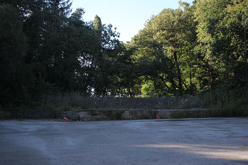
The engine house was on the far right. This is where the incline began but
it has been fenced off due to the land behind being
a private dwelling.
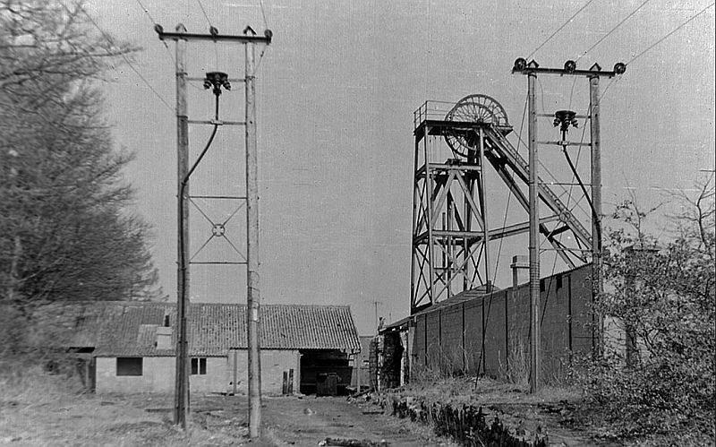
Braysdown Colliery. Could this be where the railway incline began from!
This is looking northwards.. (Author Unknown).
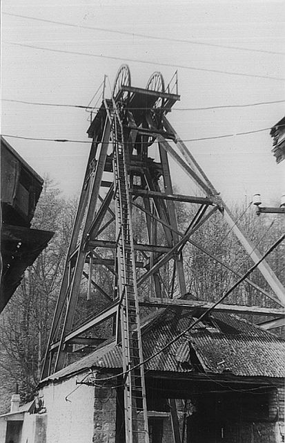
Braysdown Pit Head. This would be looking westwards
(Author Unknown).
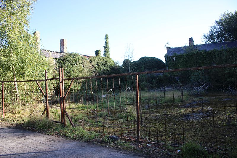
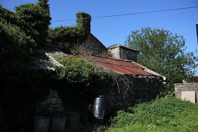
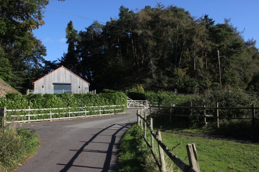
The fenced-off land on the east side of the site. Rear of the building at
the north side of the mine.
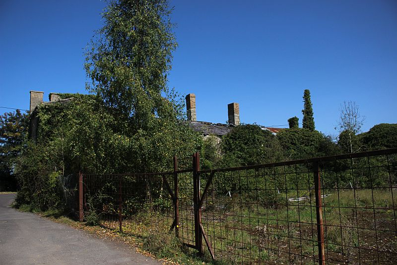
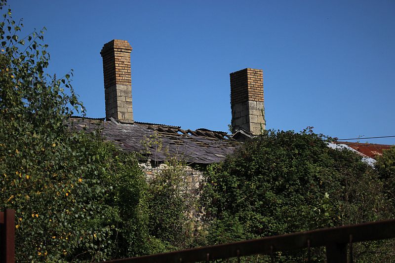

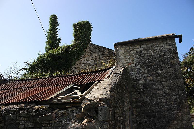
The eastern side of the colliery are very much dilapatated.
====================================================
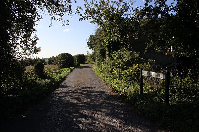
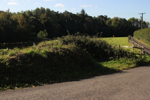
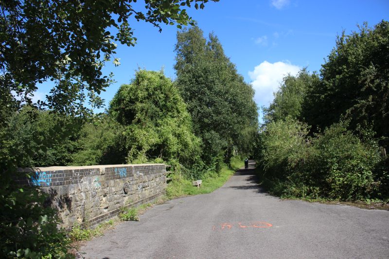
Woodborough Hill road junction is just along side the eastern side of the
colliery site. This takes you to where the incline left
the colliery.
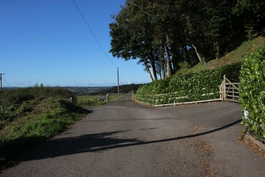
The rear of the mine where the incline railway dropped down to the sidings
at Witherington. It is private propety and fenced off.

The way into the mine site is completely blanked off from here.
The only remaining site of the incline where it crossed Woodborough Hill
and down to Witherington coal mine sidings.

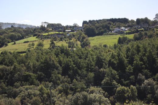
On the curve of the road there is a very pictorial scene overlooking
Radstock.
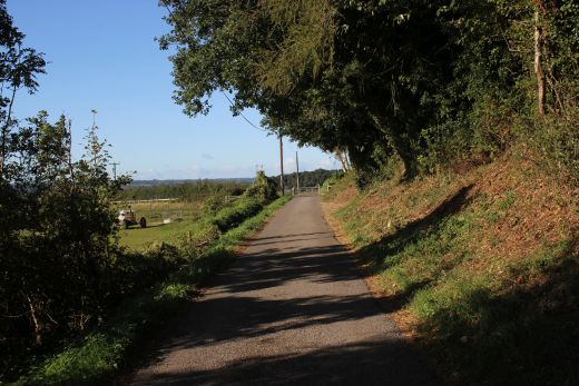
Where th incline track crossed the Woodborough Hill road and dropping
down to Writhlington sidings.
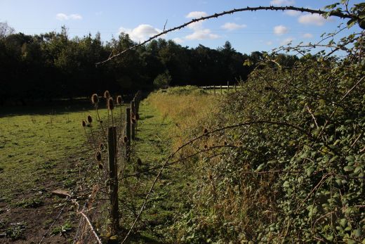
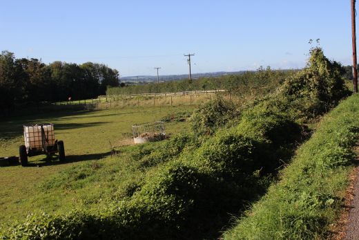
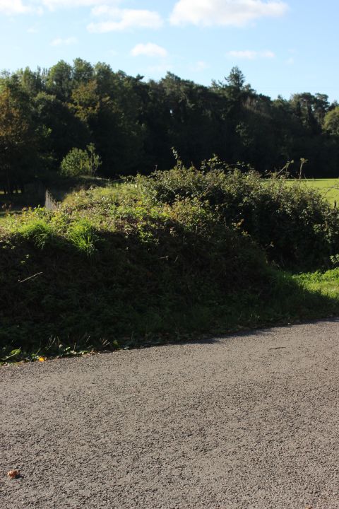
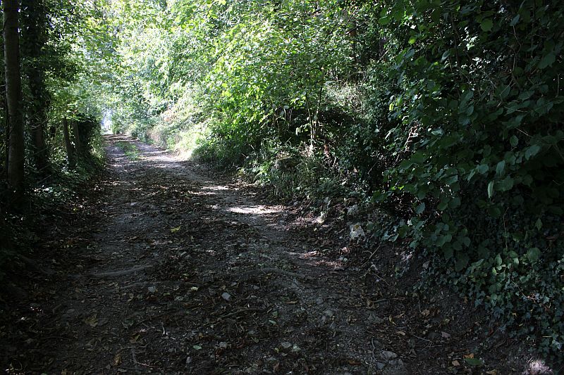
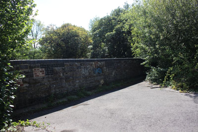
The incline, within the fenced off strip as it disappears into the heavily
wooded area. Within the trees there was a building of some sort where the
double track
changed to a single track for a short distance down the gradient where it
became double tack again for the final way to the bottom. There is no
point continuing to
the end of this road at Woodborough Farm unless you want to take the steep
walk down onto the S&D track bed to the west of the Writhlington
colliery site. I
returned to the junction with Braysdown and walked down to the next evel
where the incline dropped under the access road.
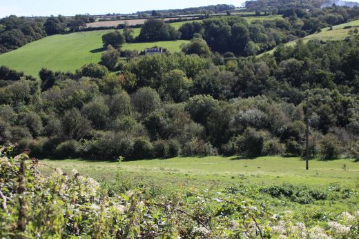
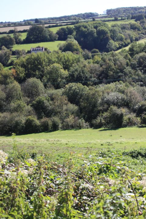
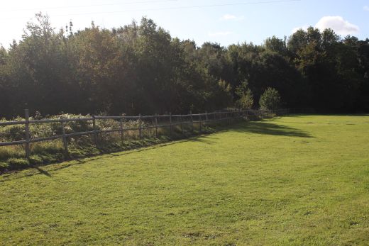
Two views from Braysdown, over looking the Writhlington colliery site.
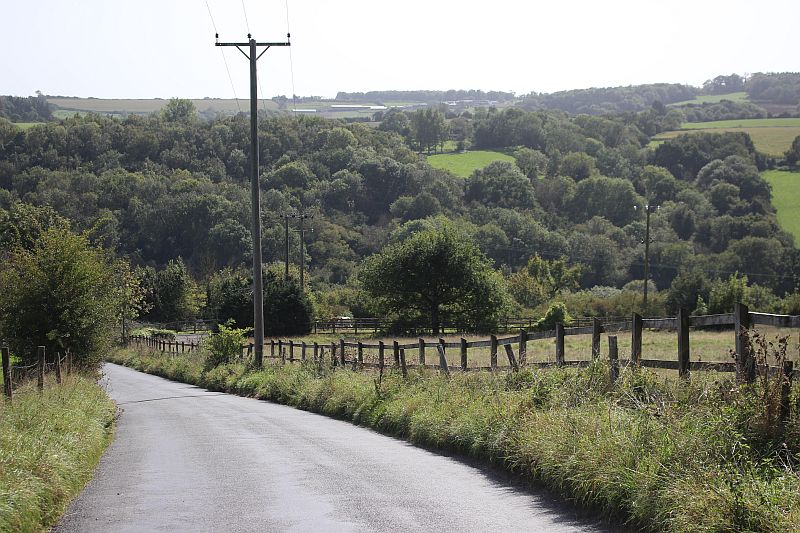
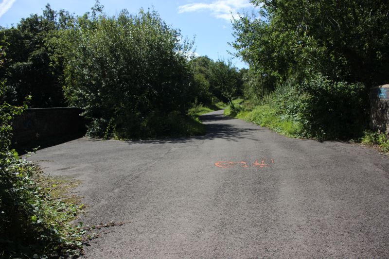
Walking down to the next level that branches off to the right where you
see the Horse.
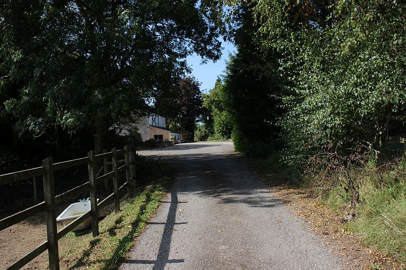
Walk beyond the buildings on the left. From here the road becomes just a
dirt track and ends as a Footpath.
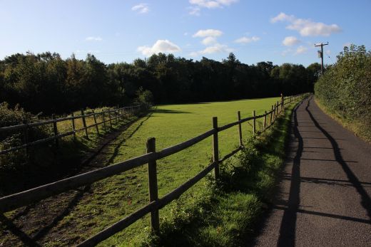
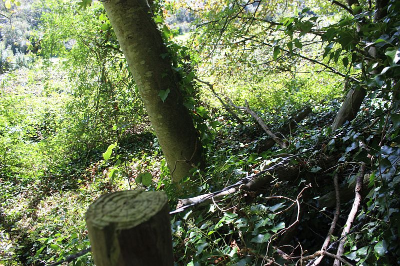
Over looking Woodborough Hill at a clearance just beyond the buildings..
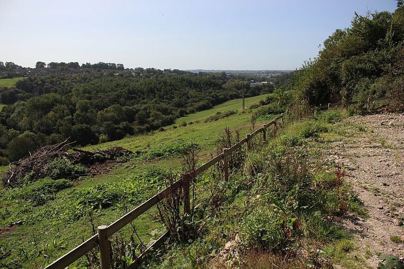
The incline dropped down to the sidings just before
you get to the line of bushes seen in the mid distance. There is nothing
to be seen today except some stones where the incline
dropped below the dirt track.
Just a short way westwards along the path you come to site of where the
incline ran below the road at this spot.All there is
to see is a row of stones that formed the arch of the north side of the
bridge
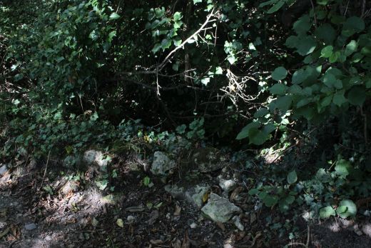
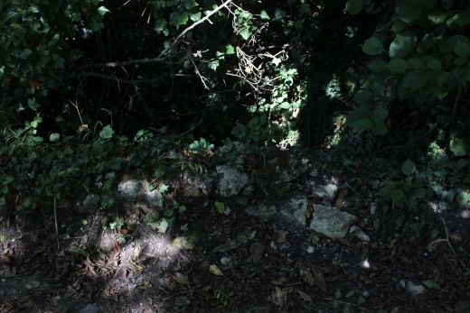
Remains of the bridge below Woodborough Lane on the north side is just
made out. You can just follow the arch of stones. It is too over grown to
see much but you
can make out the depth of the cutting. This is where the double track ran
into a single track southwards for a short distance before becoming double
again for the final
stage to Writhington sidings.
Looking over the south side of the road. It's very difficult to see in the
photo but easier when actually there.The curve from
left to right, behind the tree is the southern opening of the bridge below
the road.
As with the previous movement I walked back to the
junction with Braysdown Lane and down to where I could get back onto
the S&D track bed at Writhlington.
BRAYSDOWN SIDINGS, (Writhlington
Colliery)
The site of Writhlington and Braysdown exchange sidings and entrance into
Writhlington colliery side at the bridge over the
Wellow Brook. Looking north towards Shoscombe Vale. The Up colliery
sidings ran on the right for some way up ahead.
The Down side of the river bridge where the northern curve into the
colliery began. It followed the bridge in a sharp left hand
curve into the colliery.
A wider view of the same spot above. The Down Braysdown coal siding were
on the right. Looking towards Radstock.
You would have seen the signal box just behind the trees on the left.
The Up side of the bridge. The Upper Writhlington to Peasdown St. John
road runs northwards below.A steep, winding hill.
The site of Braysdown Sidings were the incline stopped and wagons were
marishalled for the main line. It woud be interesting
to see a photograph of this site when the incline was in
operation.
Braysdown Incline at Writhington Sidings. A very early map showing a very
different layout. There was no northern connection, only the
southward curve from Writhington Coal mine. Not only that the branch
continued running southwards alongside the S&D main line down
to Radstock. The lead into the colliery would have had to be
redesigned when the main line was doubled and a new link made from the
north.
The map shows some sort of building at the base of the
incline that suggests there had been a possible wagon-sized turn table in
use.
(NLS Map 1873 to 1888).
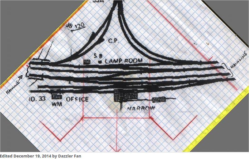
From Rrmweb.Co.Uk/community
Just came across this diagram on an internet page. This is the first I
have seen that indicates what was at the bottom of the incline.
I guessed that there had to be a way of turning the wagons for marshaling
on the mainline sidings but not sure if they may have
come down sideways on the last third of the incline or if there was a
turntable at the bottom. A turn table was mentioned by
someone commenting on this web page. However, if this was a narrow
gauge incline then some sort of loading exchange would
have taken place.
Sadly, it appears near impossible to find any photos of
the sidings and buildings at Braysdown Sidings. There are many of the
Witherington Colliery and
it's sidings which appears to have been the main attraction for
photographers visiting this spot. There must be some official ones,
at least, taken around
the time Braysdown incline was opened and whenever any major
change took place.
===============================================================
To: Foxcote Colliery
Other
railway walks:
The
Dundee & Newtyle Rlwy Walks Opened
in 1831 the route had three incline planes. The first was
from the terminal station on Ward Street, up the Dundee
Law, where there was
also a tunnel. The second was the Balbeuchley incline
at Rosemill and the third at Hatton that ran down to Newtyle
station. It was also the very first passenger train
service in Scotland.
Worked by Horse over the levels until the first steam engine
was purchased in 1833. Came under the Caladonian Railway
with it's terminal moved to Dundee West station.
Passengers
service ended in 1952 and the line totally closed in the mid
60's. The inclines were by-passed in the 1860's.
The
Cromford & High Peak Incline
railway in Derbyshire has been luckier in having much of
it's buildings, including an Engine House preserved. This is what could have
happened with
the D&N, indeed, should have happened with at least one
of the D&N inclines. However, the C&H gives an
excellent comparison of what the D&N would have looked like, albeit
the
inclines were only single track.
Boddam
To Ellon Branch (Walks) By Bill
Reid. Ex GNSR branch line.
Dyce To Fraserburgh and Peterhead Walks. Ex
GNSR
Bath
To Wellow Rlwy Walks Ex Somerset
& Dorset Rlwy.
Chippenham To Caln Walk.
Writhlington
Colliery Site
The Test
Valley Railway Walk. (New Mills To Hayfield).
Hosted by www.theatreorgans.com
BACK
TO HOME PAGE
This page brought to you by:
VintageHammond.Com
- We Buy-Sell-Trade Vintage Hammond Organs and Roll or Kari Organ/Vending Machine Moving Dollies Order Roll or Kari Dollies Here