Back
To Radstock Collieries Index
FOXCOTE COLLIERY RAILWAY (Radstock)
(1853 to 1931)
(From tree visits on the 9th and
17th of September 2020 and 23rd April 2921)
(Updated April 2021)
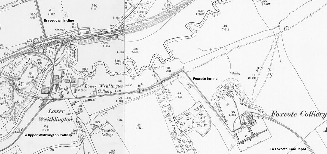
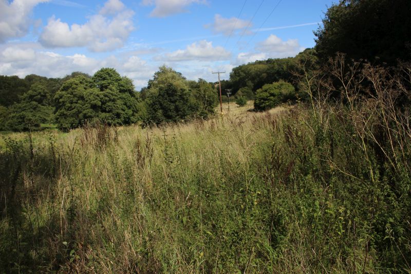
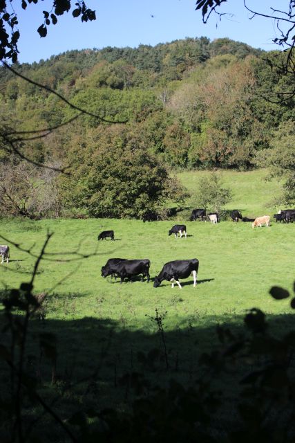
The Writhlington Colliery Tramway to Foxcote Colliery layout. (NLS Maps)
The 2' 8.5" tramway ran from within the Colliery to a three-way junction
on the south side. The Foxcote tramway ran off to the east, crossing the
Upper Writhlington Road
and off through the fields up to the bottom of the Foxcote
Incline. There was a single siding with an ash pit with a mess room
where train crews rested between trips.
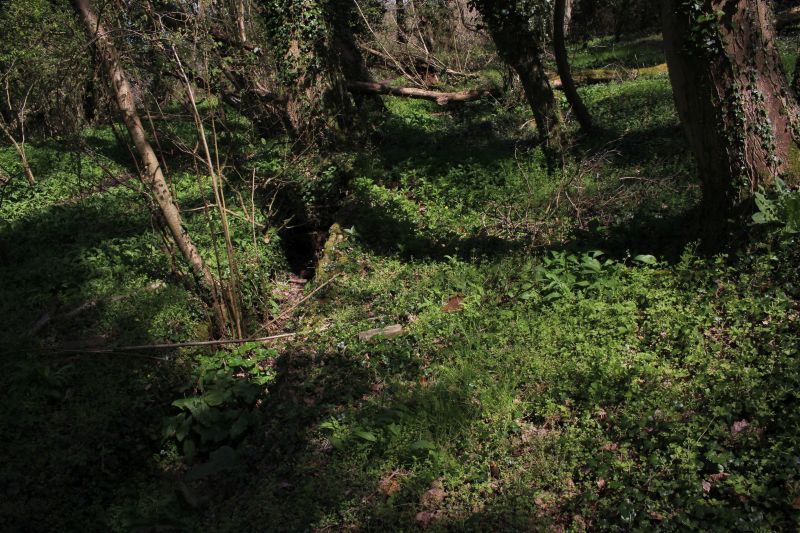
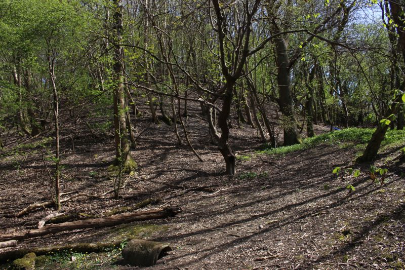
From here there were two railway inclines. One to a quarry and the other
to Foxote colliery. Another tramway ran from the colliery to a coal
depot by the A368 road..
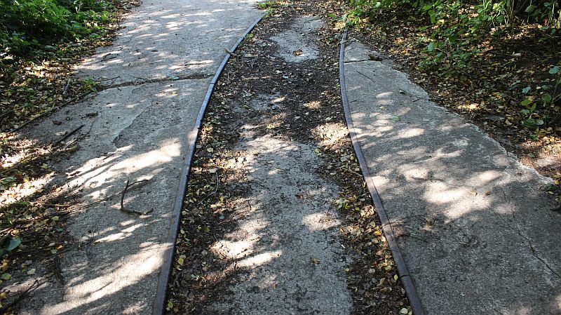
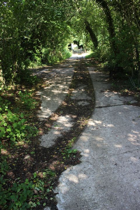
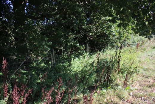
At closure the Ex three-way junction at Writhlington on the 2' 8"
Tramway had been reduced to just a single spur to
Foxcote Colliery. Set in concrete the remaining rails run for a
short distance to where it crossed the Upper Writhington
road. The track bed can be followed via a footpath up to the base of the
Foxcote Inclines then up to the Colliery site.
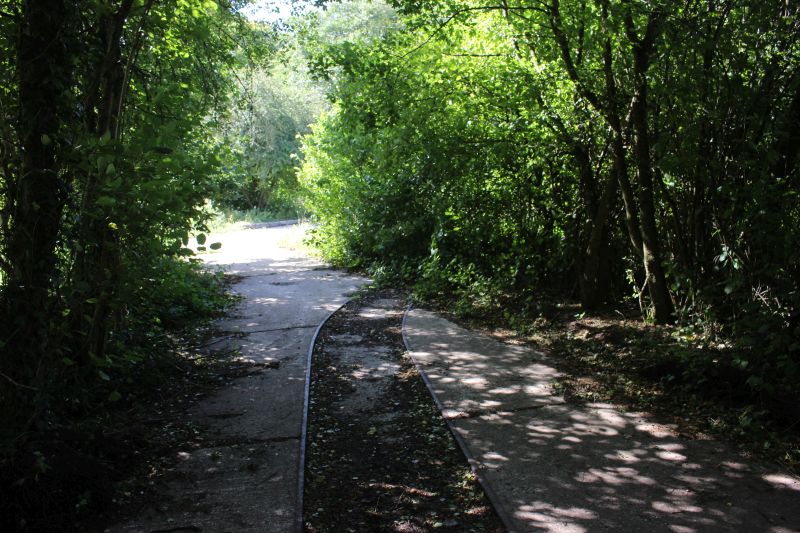
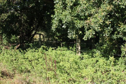
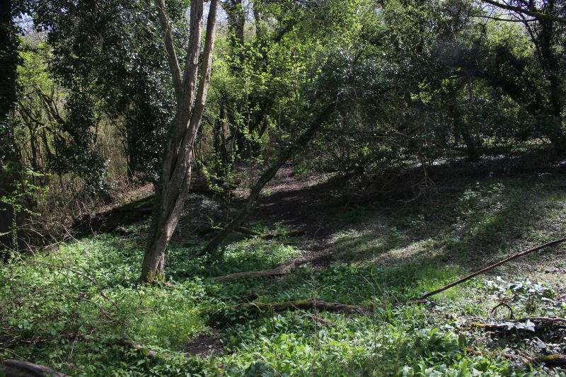
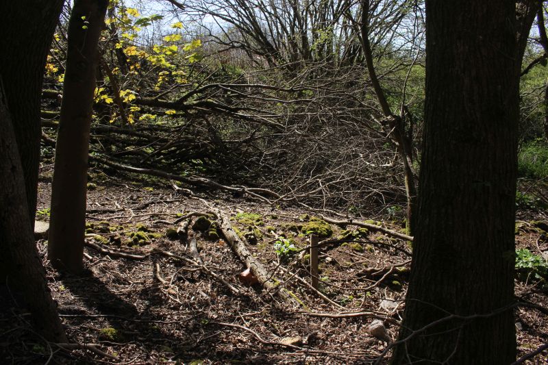
No longer a three way junction the remaining track, cut short just within
the trees on the right came from the south side of
Writhlington colliery. I have no idea when the south curve and the
straight ahead line were removed. I expect the track is set
in concrete here because lorries also used this way taking waste coal to
the slag heap.
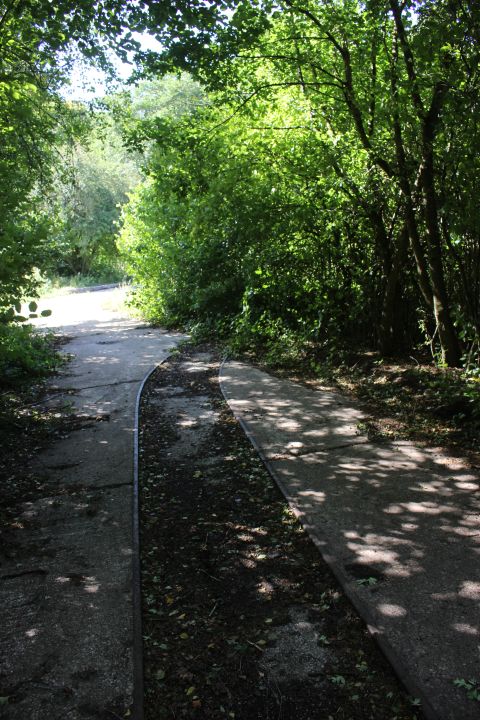
Left: The remains of the three-way triangle junction. Only the north
facing spur remains. The south facing curve and the straight ahead line
must have
been removed some years before the colliery finally closed. Right: The
north facing spur leaving the colliery and heading for Foxcote colliery
and coal
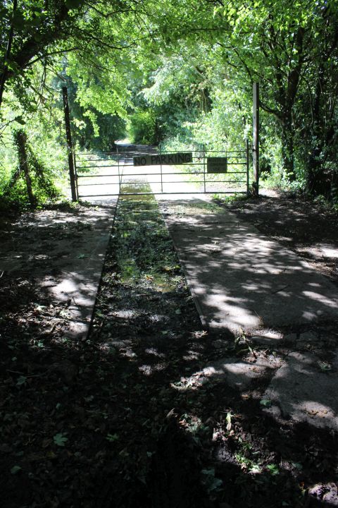
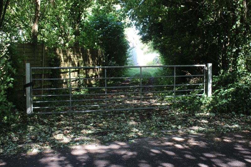
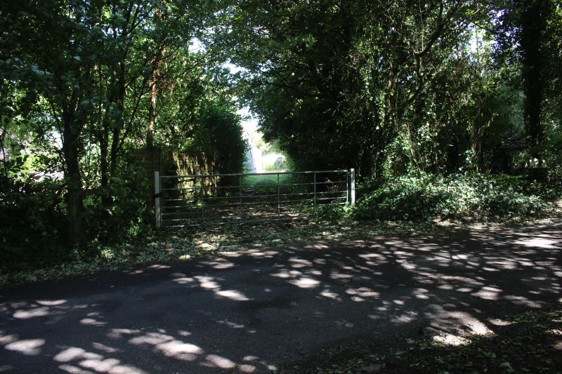
depot. The road crossing was gated and still is on both sides of the road.
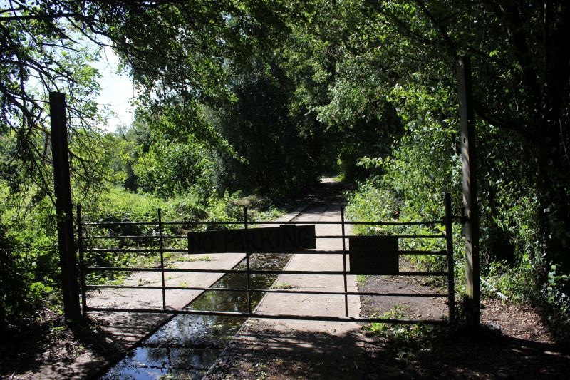
Where the branch to Foxcote colliery crossed the road. This is looking
towards the lower triangle junction just up ahead..
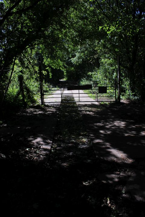
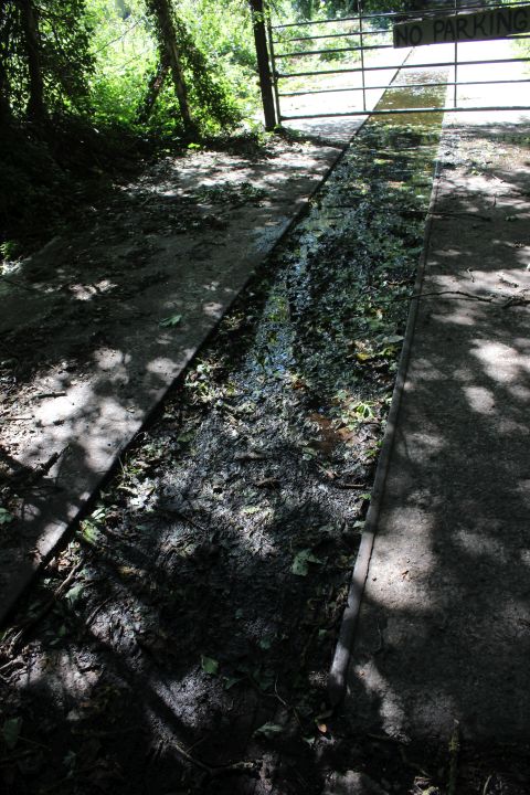
The track ends on the west side of Upper Writhlington road.
On the east side of the road the tramway track bed heads off to the base
of the Foxcote Colliery incline.
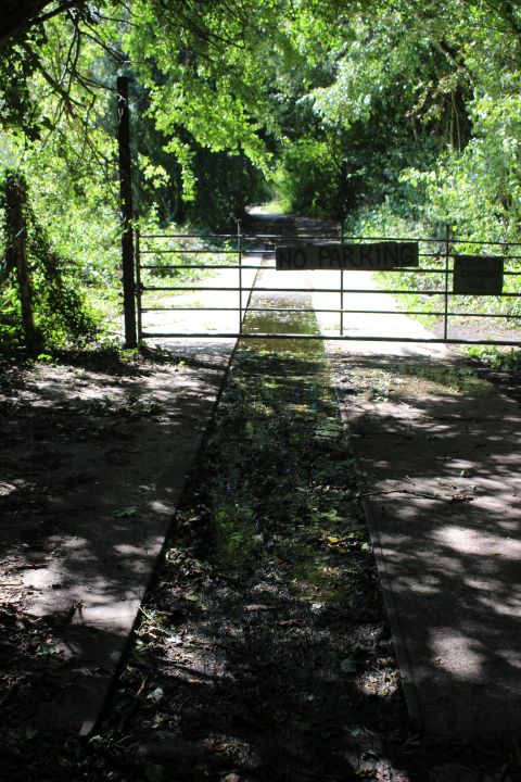
View over the road where the line came out of the colliery site.
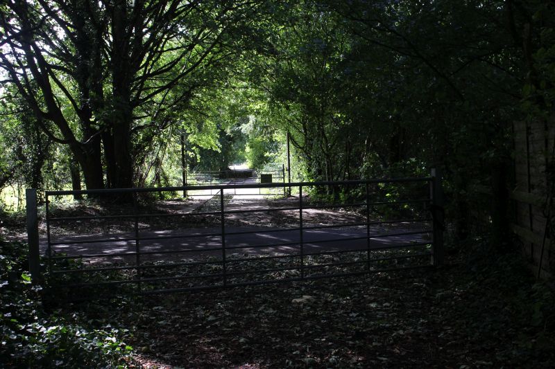
Where the tramway branch to Foxcote colliery crossed the road. Heading
eastwards then sharply curving southwards beyond
the colliery to a coal depot on the Frome Road. The footpath along the
south side of the track bed is on the far right by the
tree. The road did in fact go through the middle of the colliery the
colliery on the west side and the Engine house and
associated building on the eastern side. There was a short branch into the
pump house.
This is a much later building that is part of the house that its' self was
built after the pump house building had been demolished.
Further ahead a (unused) stable is built upon the old track bed.
As far as you can go. The track bed is fenced off and the way fully over
grown. However, you can follow the track bed along
the north side via an official footpath and get back onto the
track bed about quarter of a mile up ahead.
Looking ahead over the gate.The line went on ahead for a way then turned
sharply southwards.
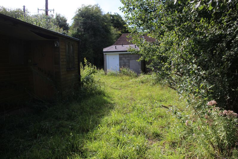
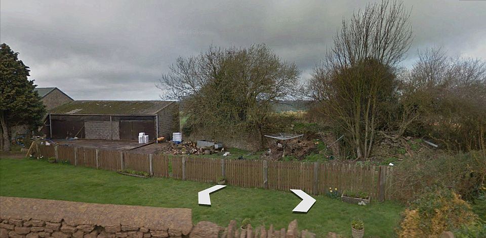
Looking back towards the colliery. The two building are more recent
additions encroaching upon the old track bed. .
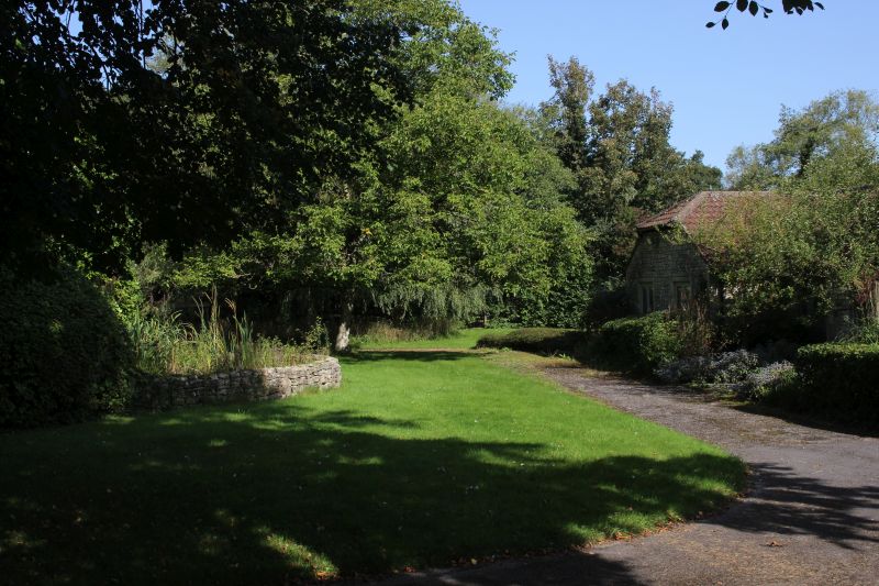
Behind the trees on the right there was a short spur off the Foxcote
branch at this point turning into the house site..
On the opposite side of the trees where the spur came off the main running
line and into the house site.
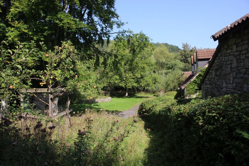
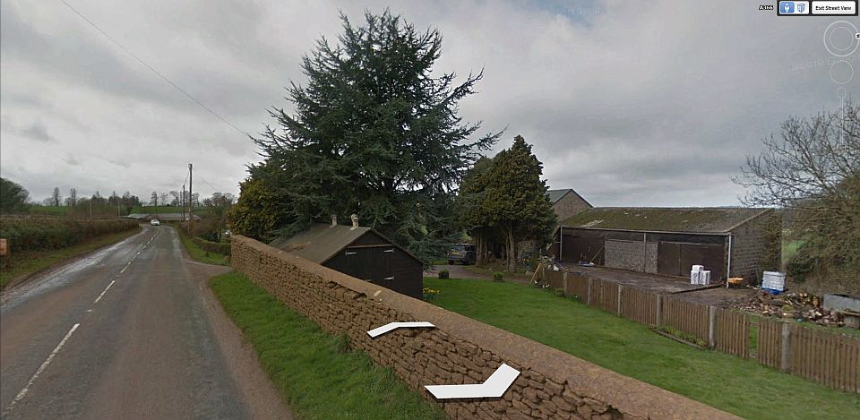
Massive change here! This was the site of the Engine house and associated
buildings. The line of view is of the spur.
Looking northwards.
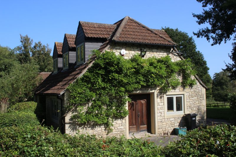
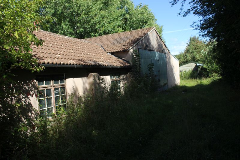
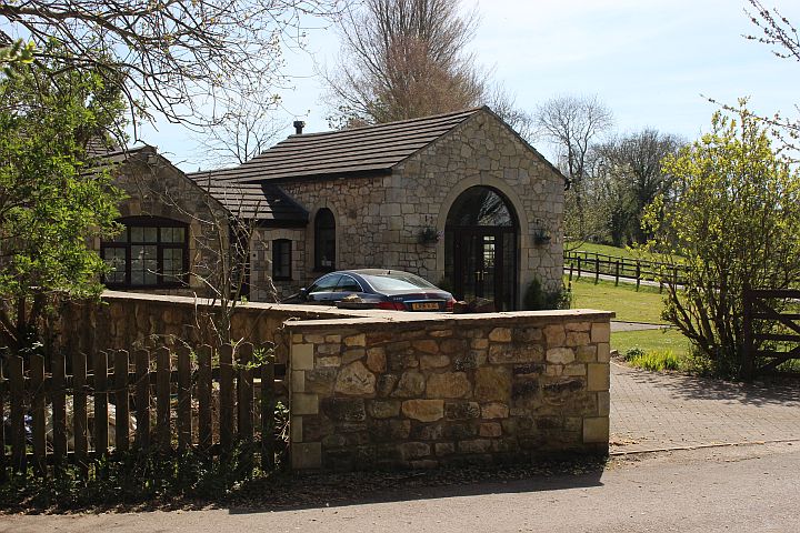
A fine house, awaiting a new owner.
Where the spur ended. The stones used for the raised garden may have been
from the pump house or associated buildings.
The Foxcote colliery was demolished in the 1950's.
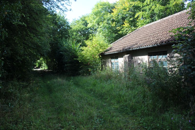
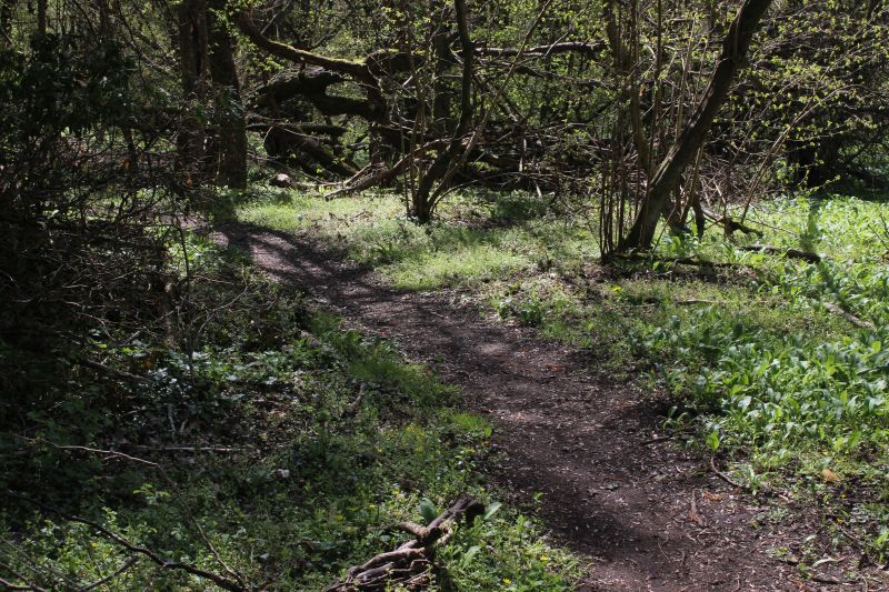
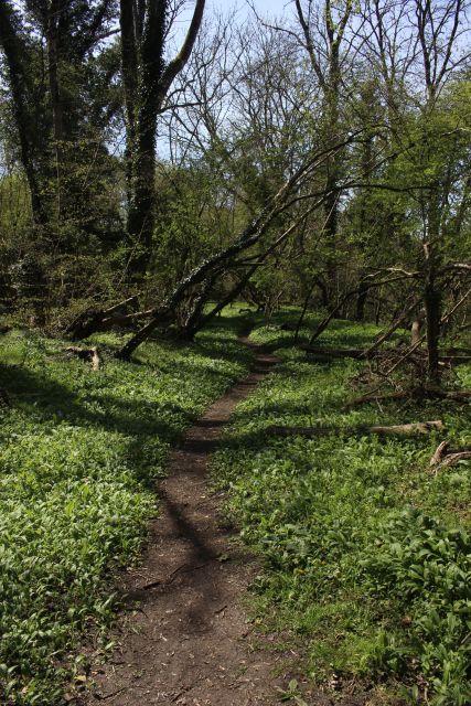
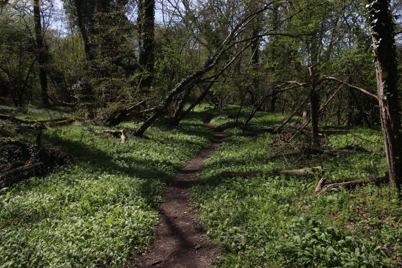
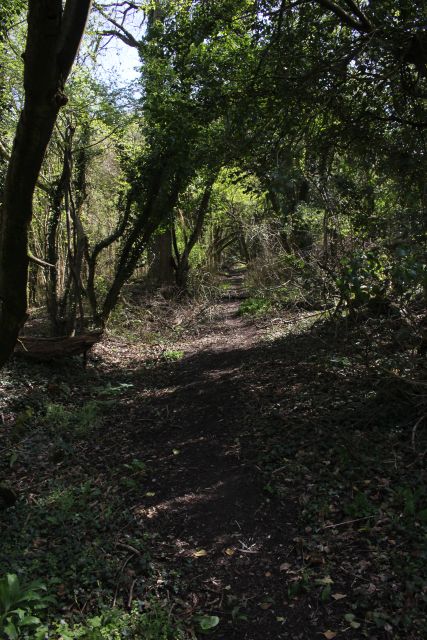
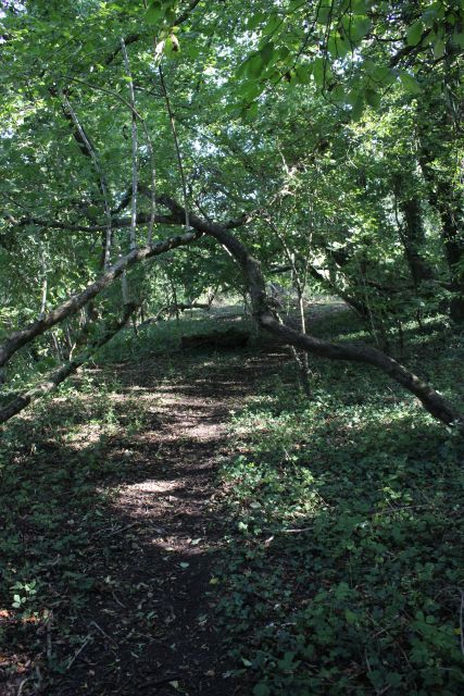
ON THE FOOTPATH AND UP TO THE BASE OF THE INCLINE
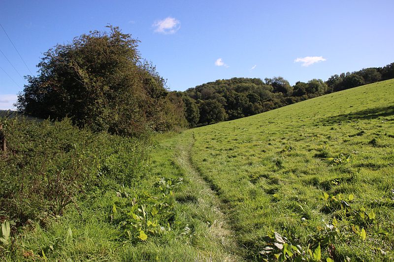
As you join the Footpath from the road you follow along the south side
of the Foxcote branch in an open field that
leads up to a turn style where you enter the wooded area along the
track bed up to the bottom of the Foxcote Incline.
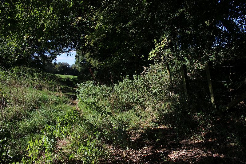
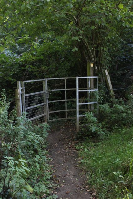
At the end of the field path you go through a gate to continue towards the
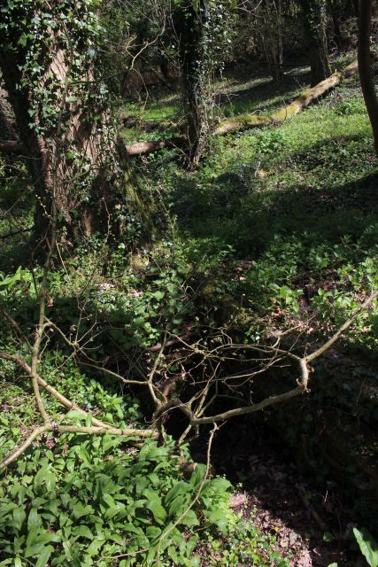
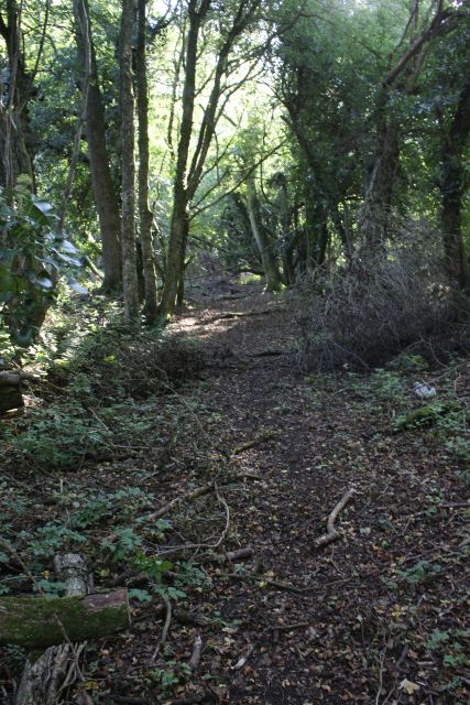
Ex Loco shed site and the base of the incline.
The track bed runs down the center of the photo and you can just make out
the Ex loco shed and service pit site to the right.
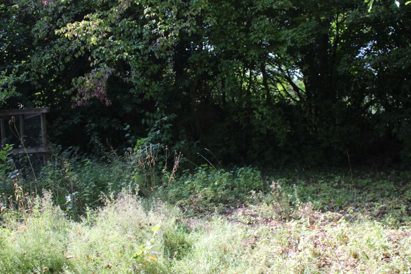
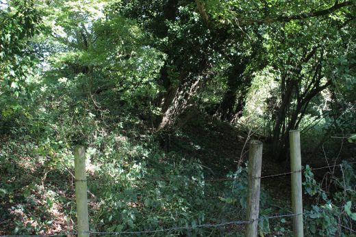
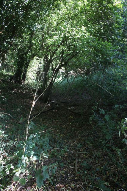
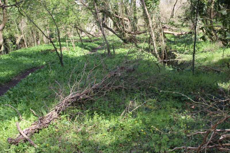
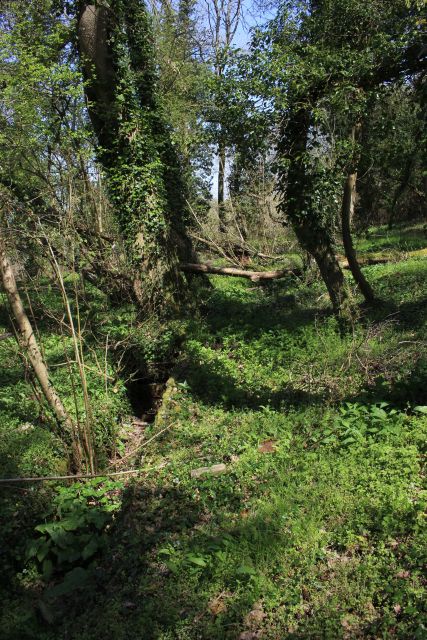
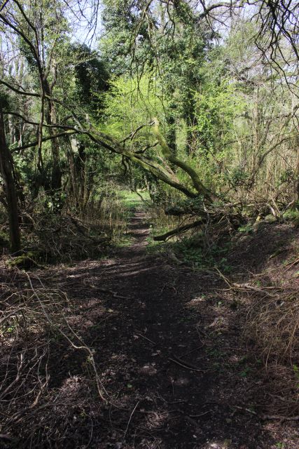
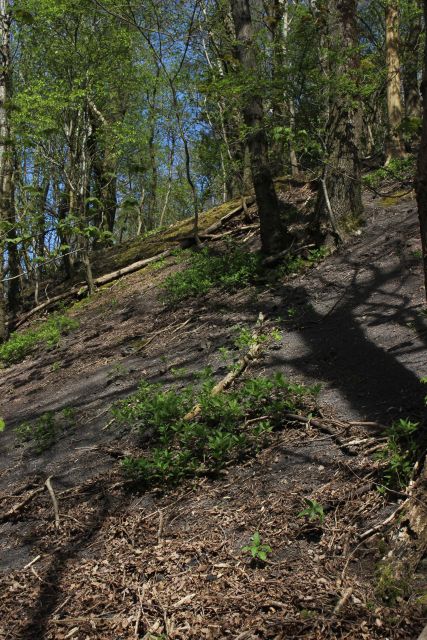
The way is very dense within a heavily wooded area. However at
one point there is a short clearing with a view over the fields,
northwards.
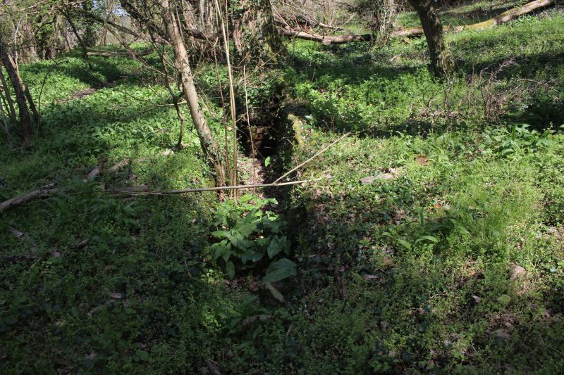
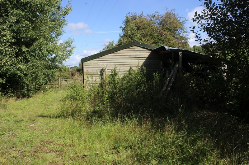
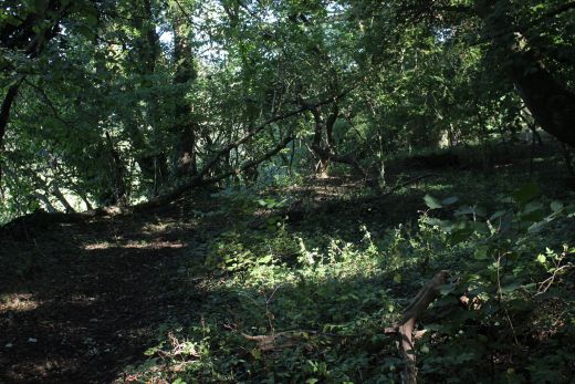
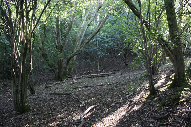
Not easy to spot when everything is in full growth but just a few yards on
and to the right you find the remains of the Loco
Shed and inspection pit. Locomotives and crews would have used the shed as
a rest room and safely parking the steam
locomotive over the pit. Whether any actual servicing was done to the
locomotive is unknown. But the crew would have
had to wait here for loaded wagons to be hauled up the incline and empty
ones lowered,
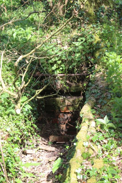
It is difficult to imagine a loco shed standing here and I am not sure if
the shed was built over the servicing pit or stood outside
where the tree on the left is now standing. It's a shame that so much is
lost of haw these lines were worked and a pure lack of
any photos. As a retired driver you can guess quite a lot but that's not
the same as having actual facts.
The incline has been back-filled from this point to the summit to protect
private farmland at the summit. The only way to get
up to the coal mine site is to "scramble" up the coal batch, which is
very difficult and possibly dangerous.
From the base of the quarry site you can see how much the incline has been
blocked by falling trees and back-fill. This is
looking sideways at the incline as it ran up and down,
This looked a bit too much for me and I checked out a slightly easier path
by going up the 'groove' where coal and materials had slipped
Batch side over the years. The loose material made it easier going
but it was a matter of one step forwards and 2-3 slips back on the
crumbling debrie. It was slow going and I only managed to reach the
surface by scrambling on all fours for the last few yards. I packed
my camera away for safety and didn't get any photos of that For a
moment I thought I was fenced off from going any further as you get
onto private land but there was a gap in the fence off to the far left and
I was free to follow the fence until the far corner where the ground
was open onto the top of the coal batch where there are numerous old
vehicles of all sorts t
I already had images of me not being ale to get back down
the batch due to the situation. I knew I could get out at the Mine site
but it was
a very long walk back into Radstock on a very busy and narrow road
that I didn't care to tackle. On my way back after completing my
search of the site I got back to where I reached the top and
considered the chances of getting back down the Batch side. Again, the
grove
proved much easier than it first looked. I had images of reaching
the bottom in a fracton of the time it took me to scramble up it! However,
I was lucky enough to find hard patches of stone, or was it 'coal'
where I had a firm grip that stopped me from sliding or falling
forward and
and was very satisfied on how easy it had turned out. I was thankful
too that avoided that long walk back into Radstock and it kept me on
on the path that I had planned out. My only disappointment was not
getting out of the batch site to have a look around the Mine site as
I hoped.
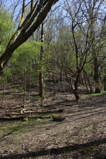
Left: The track bed where it levels off from the embankment. It had been
blocked off from Writhlington but the fence has been removed in part.
The short spur that lead to the locomotive pit and crew Mess Room branched
off around this spot.Right: From the same spot, looking eastwards
towards the bottom of the incline.
From up ahead I came to the base of the Foxcote Incline that took a
sharp turn southwards.
=================================================
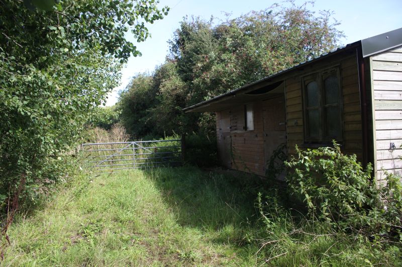
The only photo I got of the coal mine site was from pointing my camera
over the locked gate. The Ex loco shed
was for the loco working the Coal Depot branch which wasn't connected to
the incline. The loco building is in
excellent condition and suggests that there may be other buildings worth
checking out. However, you may
have to request permission.
INCOMPLETED
I still couldn't conclude this section. While I got up to
the top of the Batch, with quite a scramble and almost giving up. I
managed to look around the old
vehicle collection spread around the site but couldn't get to the Colliery
site due to a high locked gate and that the colliery site is a private
residence and
didn't want to be seen climbing over the high gate just to be on the safe
side. I'm not sure about the copyright of photographing the old
vehicles and while
photographing them all have decided not to publish the photos on
this page. I turned back to Radstock the way I got there via the batch. I
only found
one reasonably safe way down by following the natural groove of the batch
that was filled with branches and stones that while still quite scary at
least gave
me enough grip not to slip or fall over and descend the side of the
batch several times faster than I got up it!
============================================================
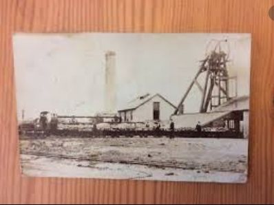
The only photo I have found on the internet of Foxcote Colliery'
Until I can get to the actual site I have taken screen
grabs of Foxcote Coal Depot from Google Earth.
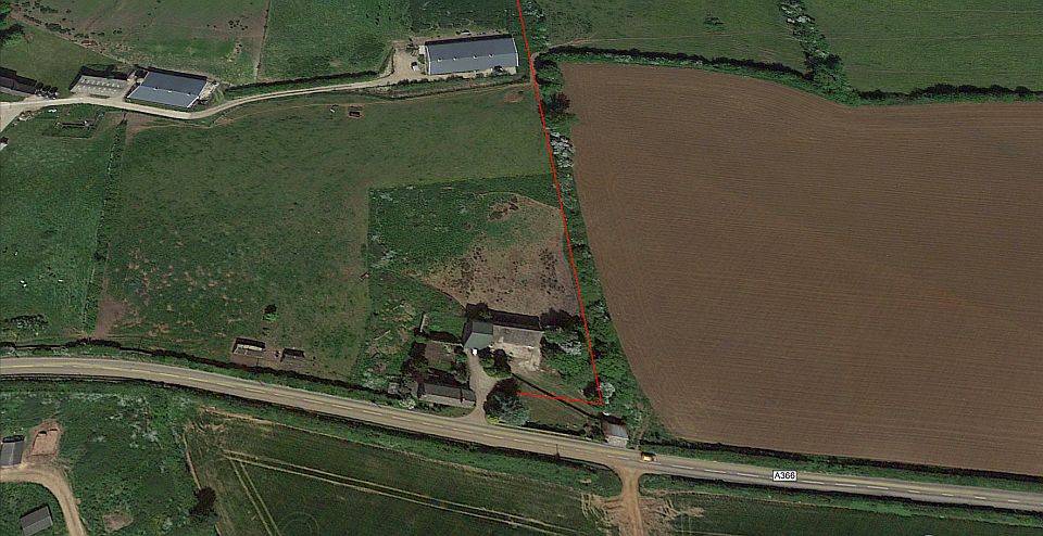
The tramway as it approached the coal depot. (Overview from Google Earth).
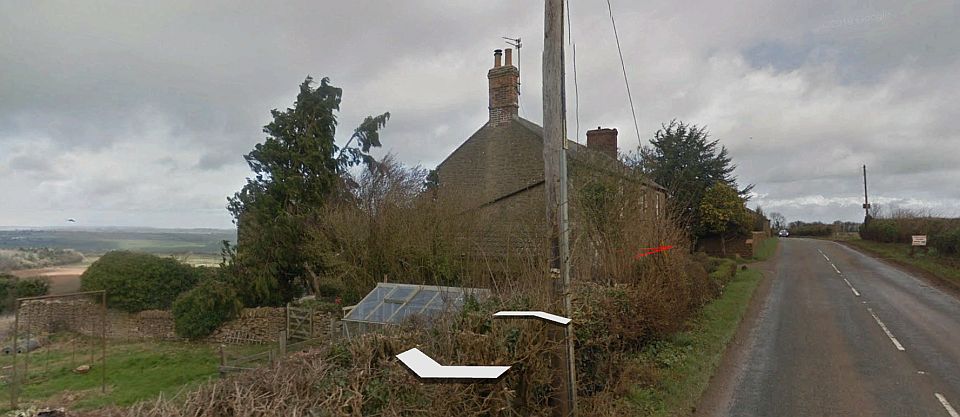
Road level view looking eastwards along the A368. The house is a private
dwelling.
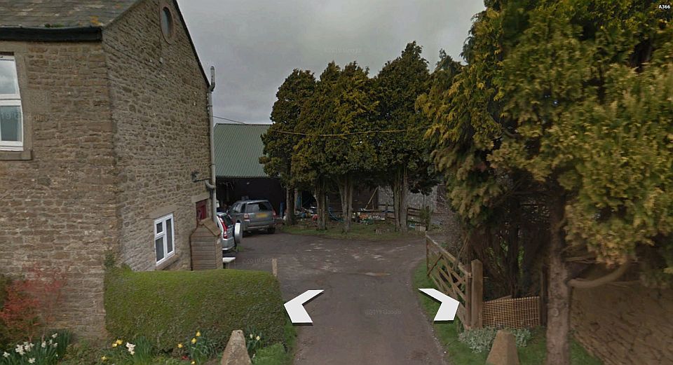
The entrance. N.B. this is now a private dwelling and should be treated
with respect. Don't enter without seeking permission and accept
refusal if that
is what the landowner wishes.
Westward view along the A368. Some of the original buildings are still in
use.
I would think the locomotive building was the ruins seen within the trees
on the right. This spot is quite a long way out from Radstock and not on
a bus route.
=========================================================
To: Lower Writhlington To Upper Writhlington
(North) Incline
Other railway walks.
The
Dundee & Newtyle Rlwy Walks Opened
in 1831 the route had three incline planes. The first was from
the terminal station on Ward Street, up the Dundee Law, where there was
also a tunnel. The second was the Balbeuchley incline at
Rosemill and the third at Hatton that ran down to Newtyle station.
It was also the very first passenger
train service in Scotland.
Worked by Horse over the levels until the first steam engine was
purchased in 1833. Came under the Caledonian Railway with it's terminal moved to Dundee West
station. Passengers
service ended in 1952 and the line totally closed in the mid 60's.
The inclines were by-passed in the 1860's.
The
Cromford & High Peak Incline
railway in Derbyshire has been luckier in having much of
it's buildings, including an Engine House preserved. This is what could have happened with
the D&N, indeed, should have happened with at least one
of the D&N inclines. However, the C&H gives an
excellent comparison of
what the D&N would have looked like, albeit the
inclines were only single track.
Boddam
To Ellon Branch (Walks) By Bill
Reid. Ex GNSR branch line.
Dyce
To Fraserburgh and Peterhead Walks. Ex
GNSR
Bath
To Wellow Rlwy Walks Ex Somerset
& Dorset Rlwy.
Chippenham
To Caln Walk.
The Test
Valley Railway Walk. (New Mills To Hayfield).
Hosted by www.theatreorgans.com
BACK
TO HOME PAGE
This page brought to you by:
VintageHammond.Com
- We Buy-Sell-Trade Vintage Hammond Organs and Roll or Kari Organ/Vending Machine Moving Dollies Order Roll or Kari Dollies Here