Back
To Radstock Collieries Index
LOWER WRITHLINGTON TO UPPER WRITHLINGTON
(North) INCLINE)
(From visit on the 23rd April 2021)
Behind Lower Writhlington Coal mine
there was a triangle junction where branches ran to Foxcote Colliery,
to the coal tip and also on to Upper Writhington
Coal Mine.
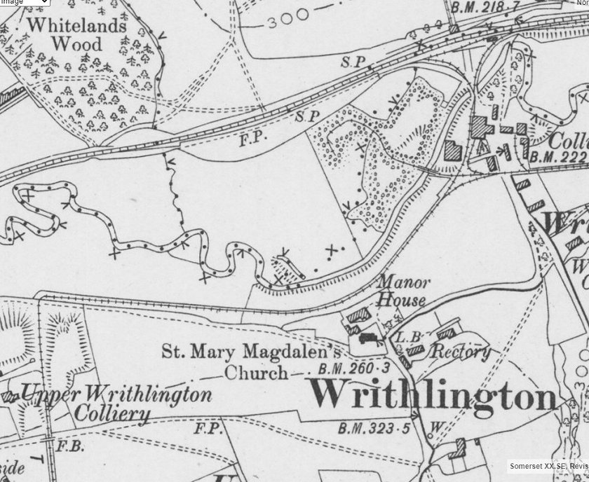
NLS Map of Lower & Upper Writhlington Coal Mine and tramway. The
section covered here is from the triangle junction
at Lower Writhlington Coal Mine that went on to Upper Writhlington
coal mine and joined a steep gradient to Upper
Writhlington Coal Depot where it then dropped down Upper Writhlington
(South) Incline to join the Ex GWR branch.
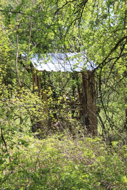
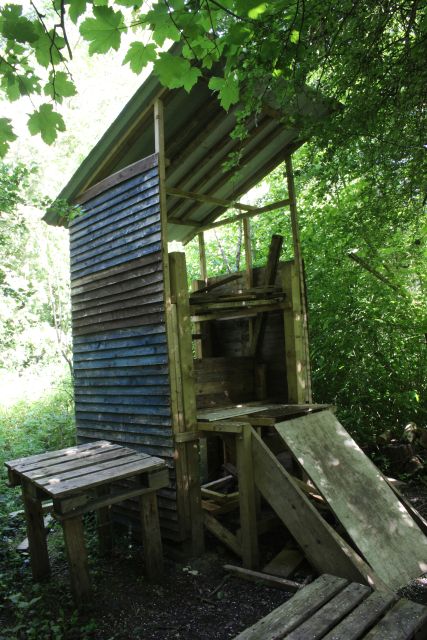
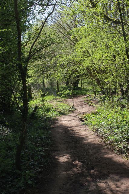
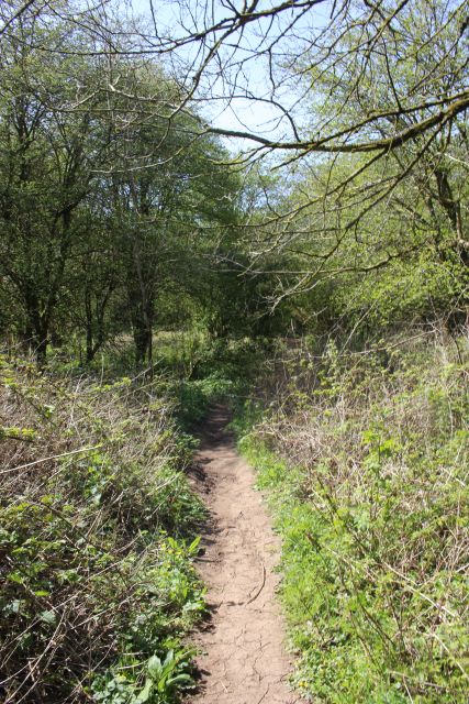
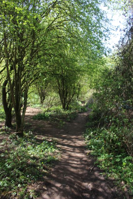
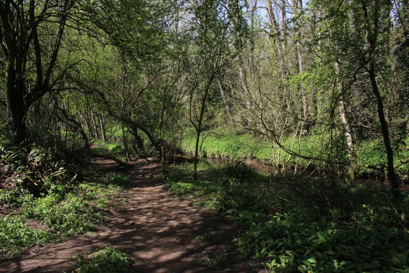
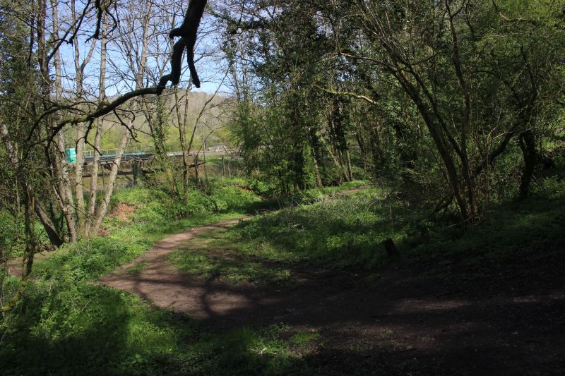
From the junction the way to Upper Writhlington looks as if it is blocked.
You can see the remains of a tall shed that is abandoned.
However if you walk a few years towards the gates. Above you see the shed
through the overgrowth that bars the way. However,on
the right you see the clear way avoiding the original track bed and
allowing to cover the whole route to the bottom of the incline.
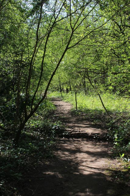
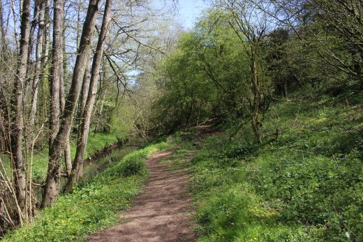
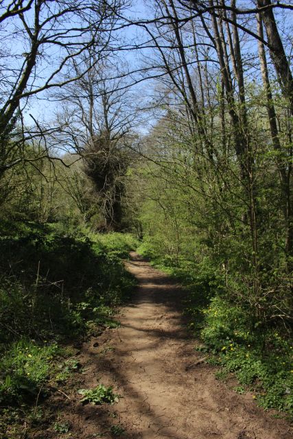
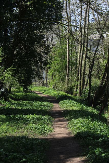
It really is a beautiful walk in such fine weather and must have been
fantastic when it was a proper "Clear Way" for the
working railway.
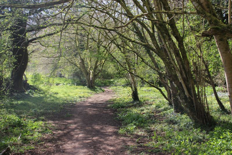
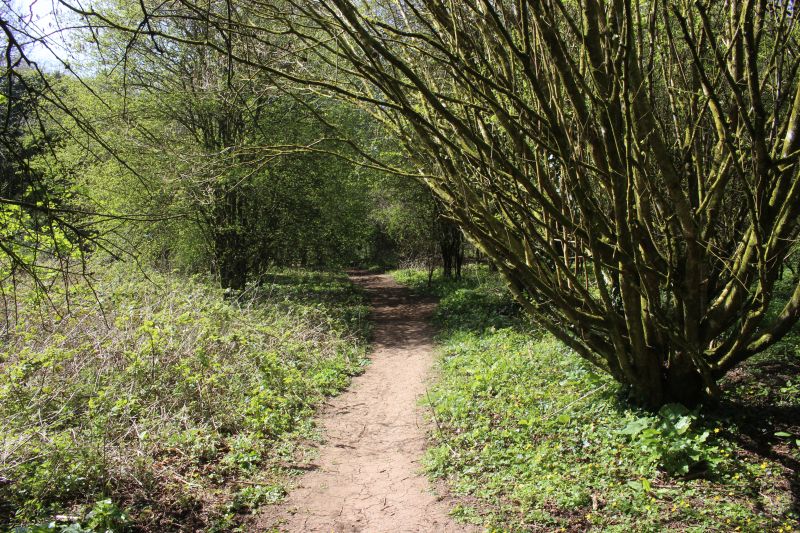
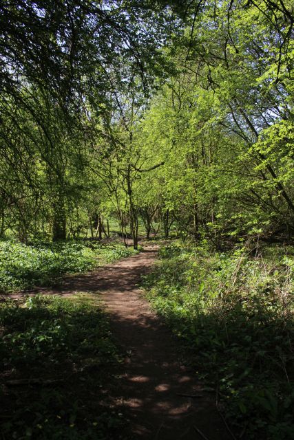
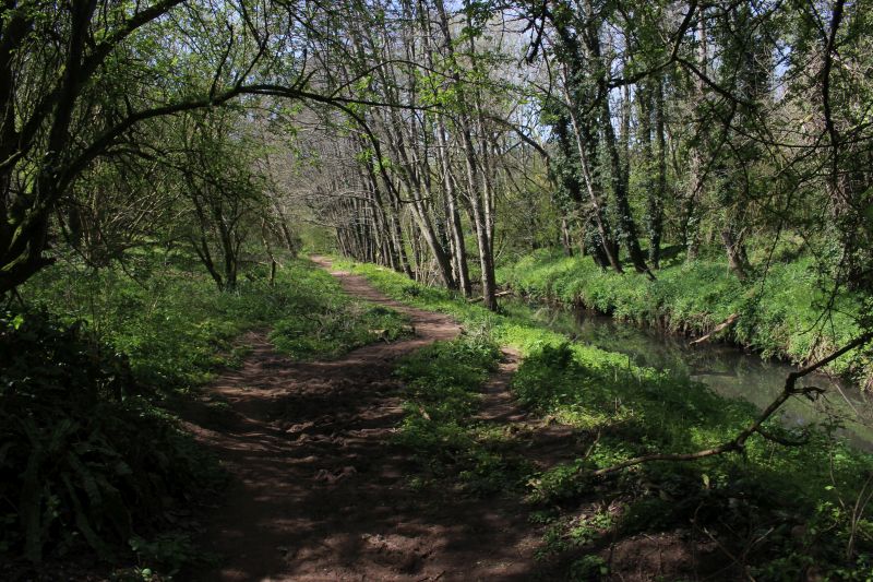
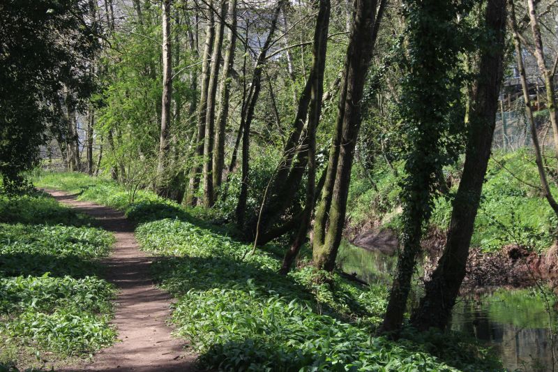
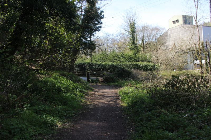
of the coal tip incline there is an opening just before
the rover bridge that allows you a pretty clear way over he old branch to
the base of Upper Writhlington
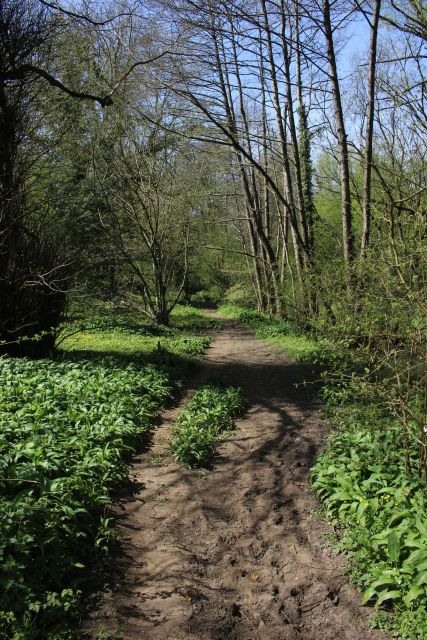
Incline. The route is easy but is blocked by a fallen tree that you have
to get over and very pleasant when dry. However you can see by the
numerous dry
mounds of clay that the way is probably impassable during the Autumn
and Winter months when it is very wet. A pair of Wellington Boots would be
useful
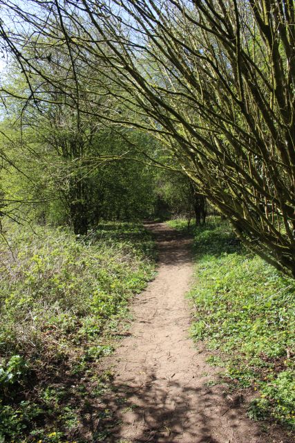
at such times. As I had taken it that this route was unwalkable from my
previous visits I was really pleased to find that, not only as this route
passable but so
was the incline up to Frome Road mostly passable. This will be explained
in my pages of walking the incline.
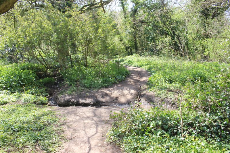
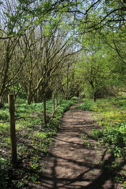
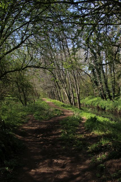
A channel has been dug across the old track bed to allow water to drain
off into the Wellow Brook.
This may be impassable at times too,
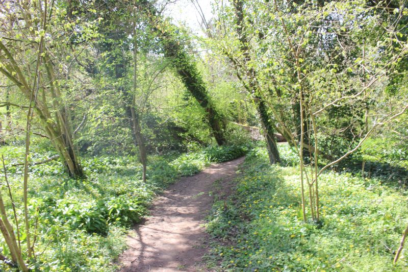
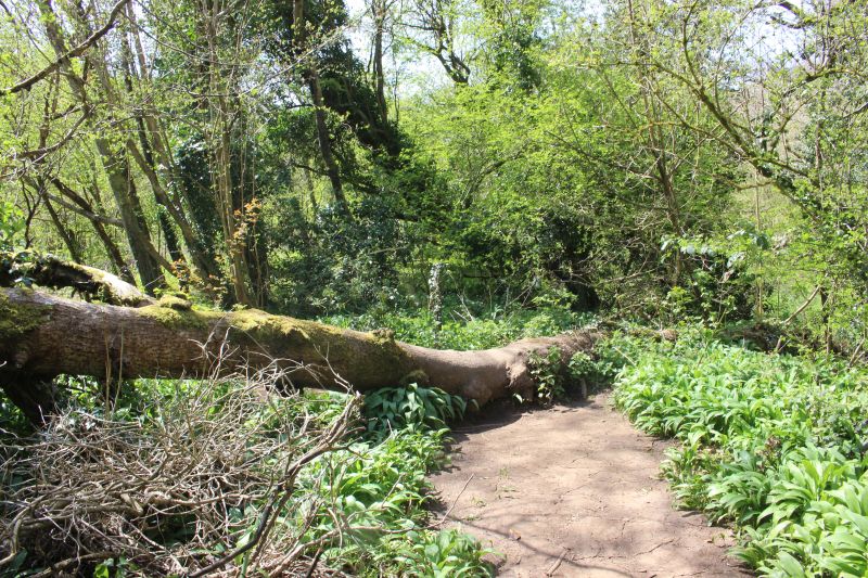
You have to scramble over the fallen tree.
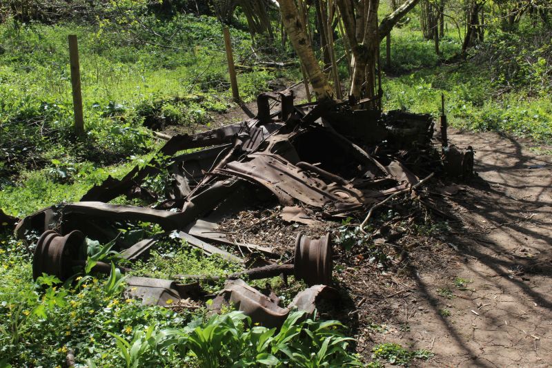
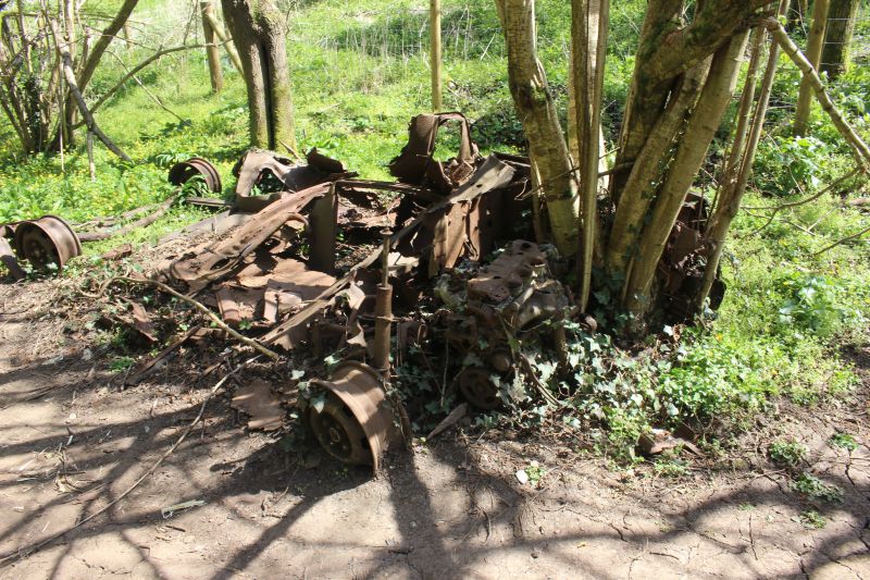
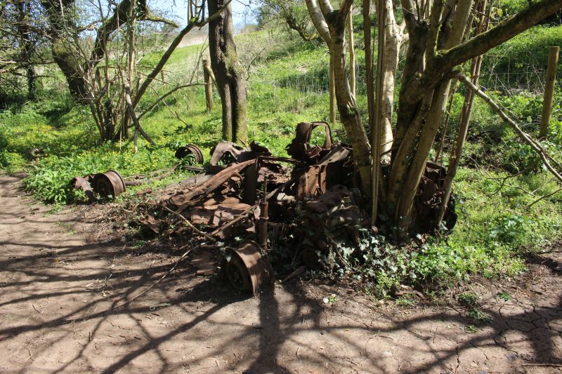
I wonder how long this vehicle has been dumped here to be in this state of
decay!
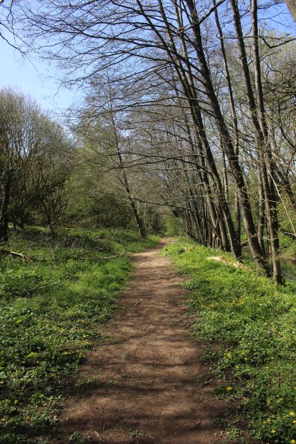
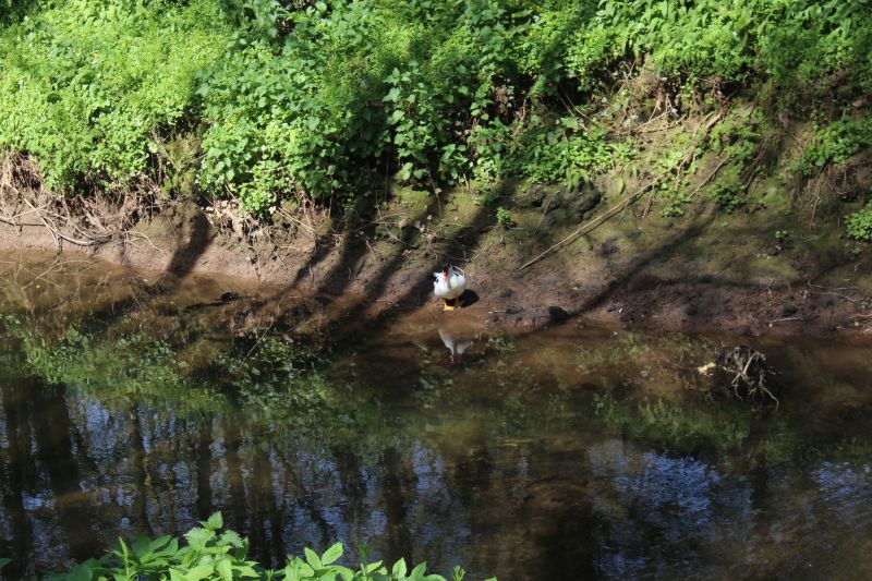
It must have very pleasant running alongside the Wellow Brook with a
train.
The downside! The rather 'whiffy' sewage plant. You get it on the main
S&D line that ran on the opposite side.
One of the dried up wet patches that could be impassable in the Winter
months.
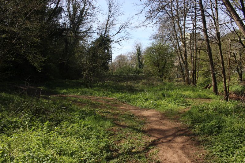
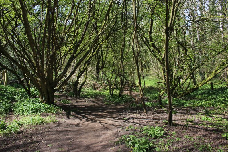
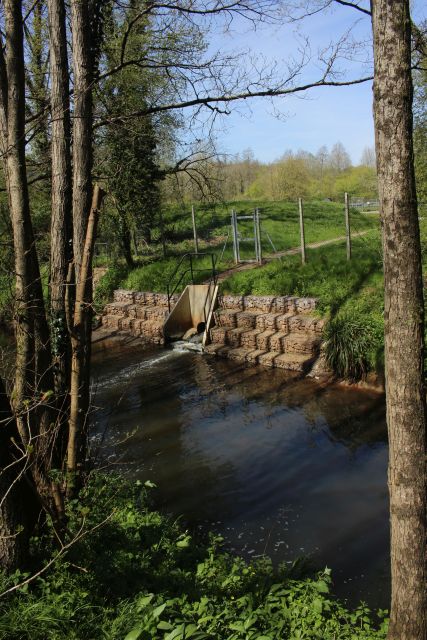
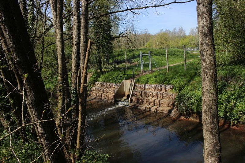
This is where the bottom of the incline was and the track did a 90 degree
turn to start climbing the steep incline
to Upper Writhlington Coal Mine and on to Upper Writhlington Coal Depot
and a short plain before dropping
down the Upper Writhlington (North) Incline to the loading plant on the Ex
GWR Bristol to Frome branch,
Reverse view from above. This would have been an active area when
trains were working the
Incline and wagons being attached and detached from the wire rope.
At the path's end at the bottom of Mill Lane. Turn left to walk up to the
road junction with Frome Road
and into Radstock or turn left and take the footpath across the industrial
site and sewage plant and get
onto the S&D Cycle and walking route.
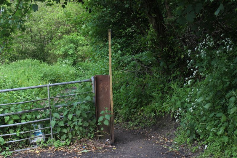
The entrance onto the tram way base from Mill Lane.
===================================================================================
To: Upper Writhlington (Bottom) To Incline Top
The
Dundee & Newtyle Rlwy Walks Opened
in 1831 the route had three incline planes. The first was from
the terminal station on Ward Street, up the Dundee Law, where there was
also a tunnel. The second was the Balbeuchley incline at
Rosemill and the third at Hatton that ran down to Newtyle station.
It was also the very first passenger
train service in Scotland.
Worked by Horse over the levels until the first steam engine was
purchased in 1833. Came under the Caledonian Railway with it's terminal moved to Dundee West
station. Passengers
service ended in 1952 and the line totally closed in the mid 60's.
The inclines were by-passed in the 1860's.
The
Cromford & High Peak Incline
railway in Derbyshire has been luckier in having much of
it's buildings, including an Engine House preserved. This is what could have happened with
the D&N, indeed, should have happened with at least one
of the D&N inclines. However, the C&H gives an
excellent comparison of
what the D&N would have looked like, albeit the
inclines were only single track.
Boddam
To Ellon Branch (Walks) By Bill
Reid. Ex GNSR branch line.
Dyce
To Fraserburgh and Peterhead Walks. Ex
GNSR
Bath
To Wellow Rlwy Walks Ex Somerset
& Dorset Rlwy.
Chippenham
To Caln Walk.
The Test
Valley Railway Walk. (New Mills To Hayfield).
Hosted by www.theatreorgans.com
BACK
TO HOME PAGE
This page brought to you by:
VintageHammond.Com
- We Buy-Sell-Trade Vintage Hammond Organs and Roll or Kari Organ/Vending Machine Moving Dollies Order Roll or Kari Dollies Here