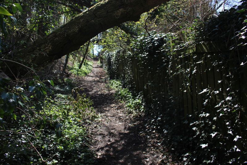
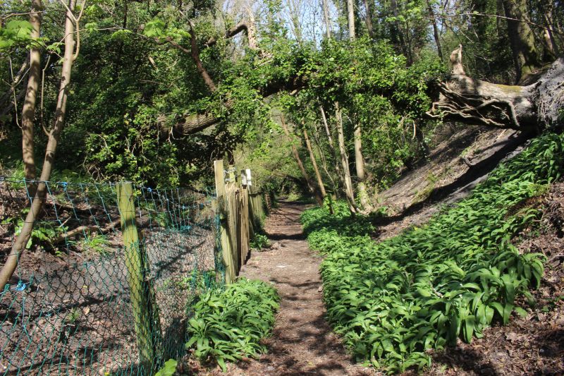
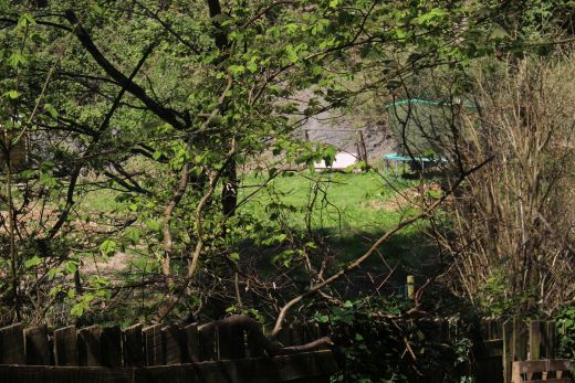
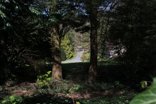
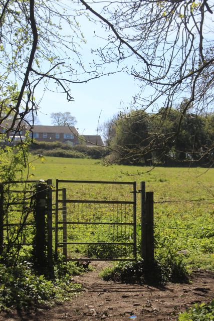
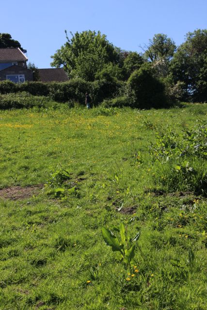
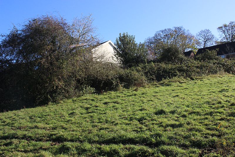
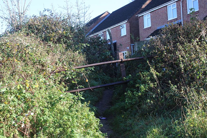
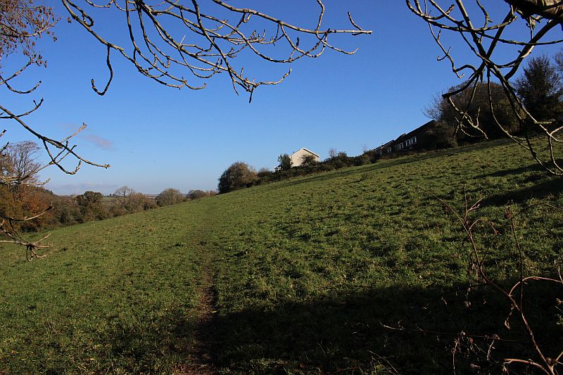
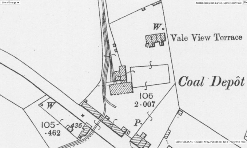
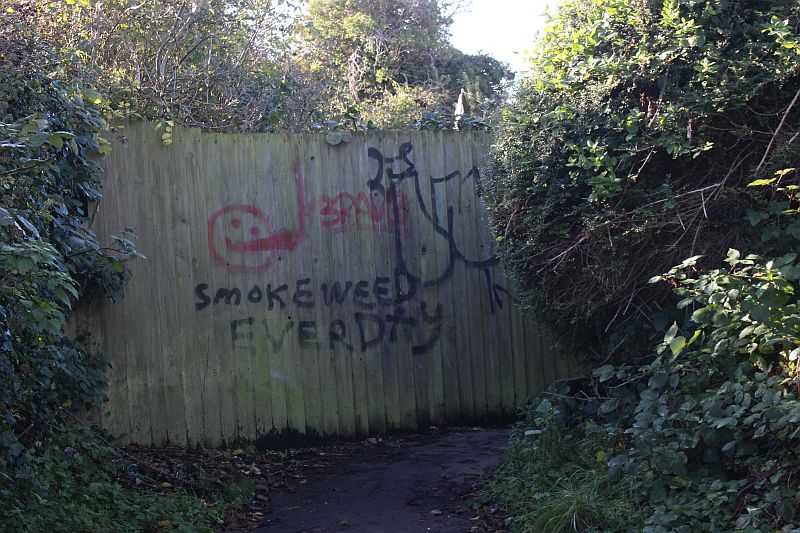
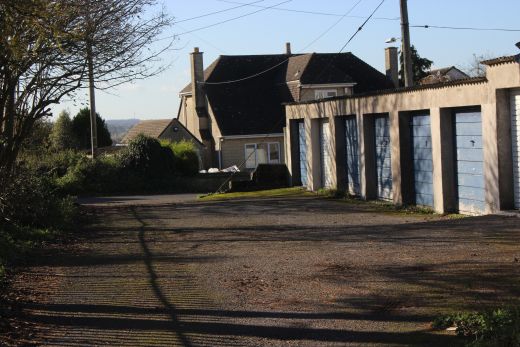
The 90 degree turn at the base of the incline with the spur into the coal mine. (NLS Maps).
The lead into the coal mine was from part way up the incline.
Back To Radstock Collieries Index
UPPER WRITHLINGTON (North) TO INCLINE TOP
23rd April 2021
The 90 degree turn at the
base of the incline with the spur into the coal mine. (NLS Maps).
The lead into the coal mine was from part way up the incline.
4th September 2020
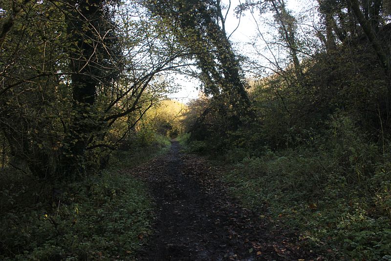
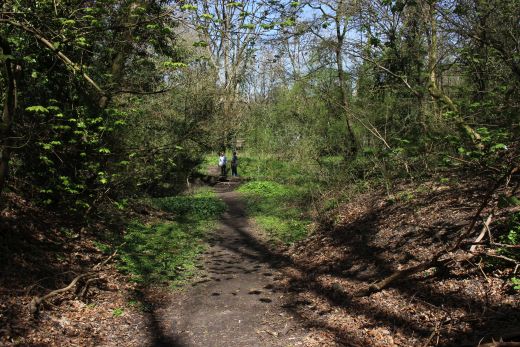
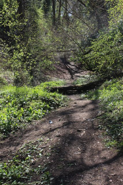
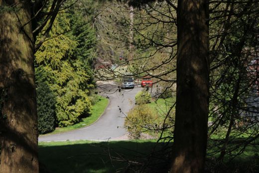
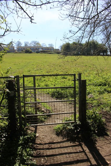
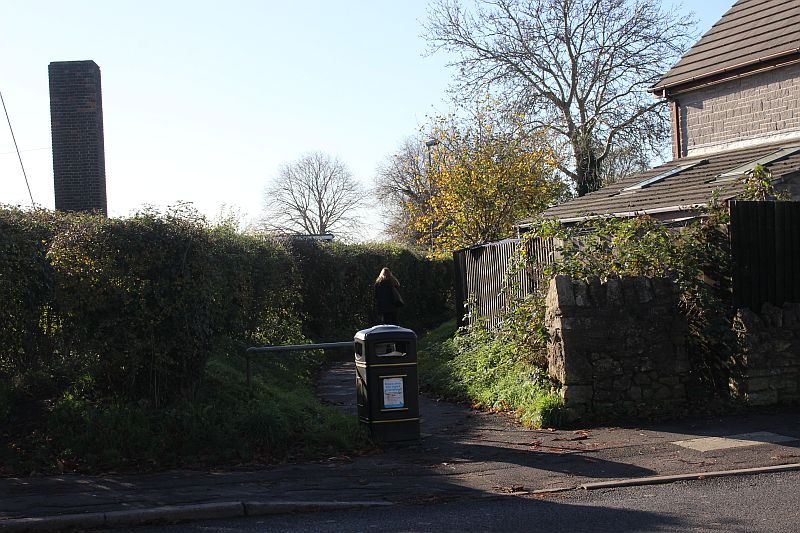
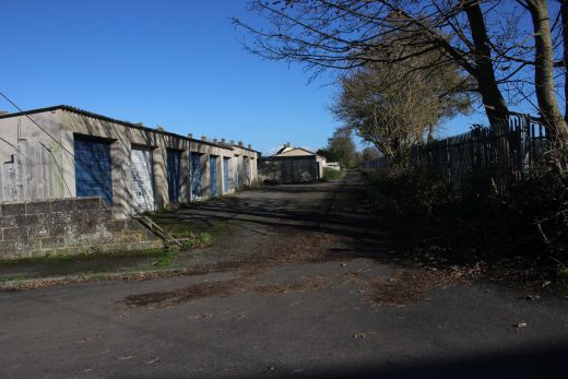
At the base of the incline where the line made a 90 degree turn.
I am standing at the knuckle of the curve looking up the
incline. that was double track at this point. It looks
impassable but may have another try the next time I visit this
area.
Just up ahead a trailing spur
led into the colliery while the line continued to the top of the
incline.
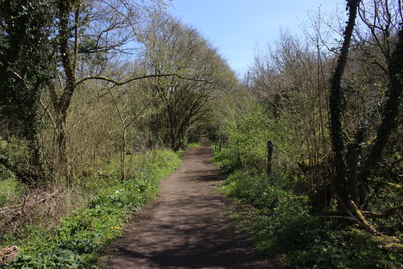
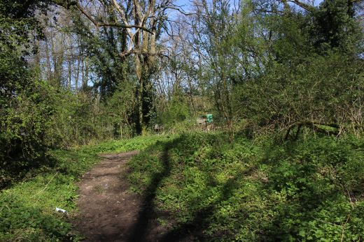
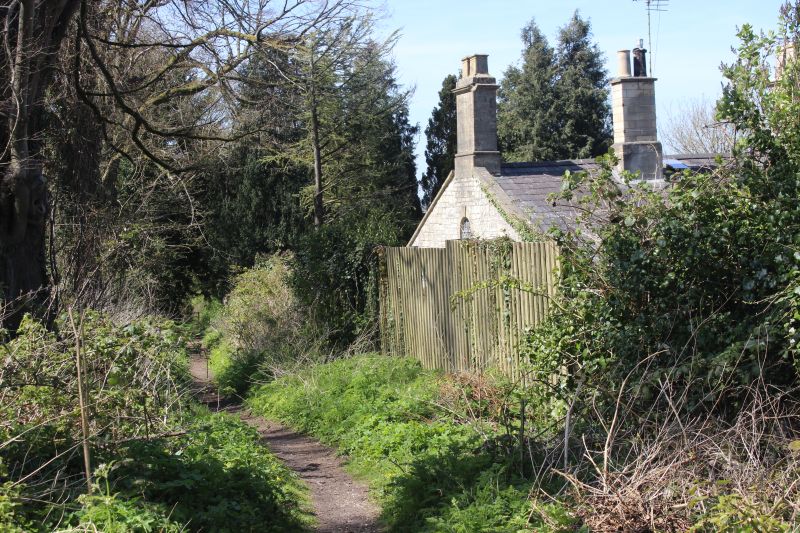
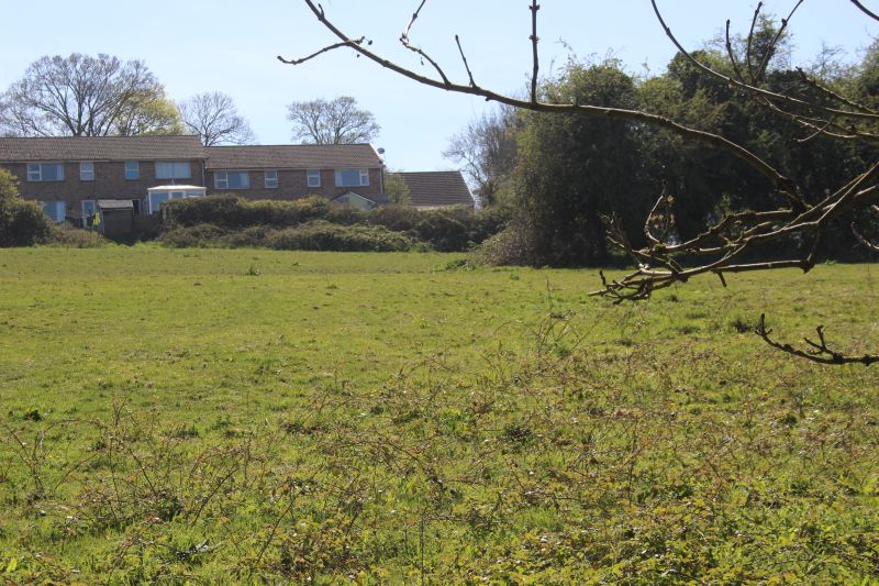
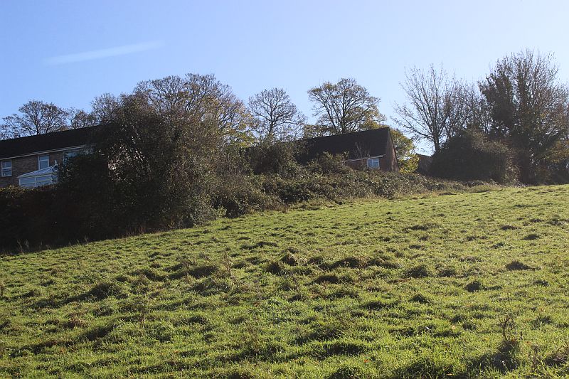
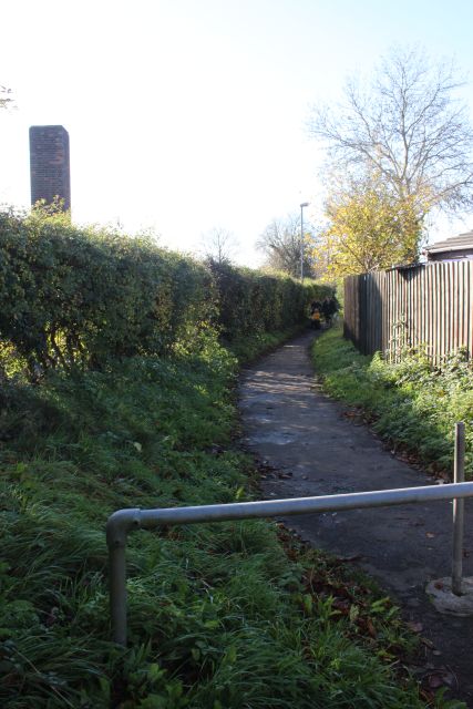
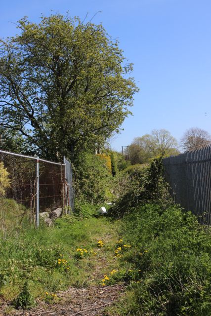
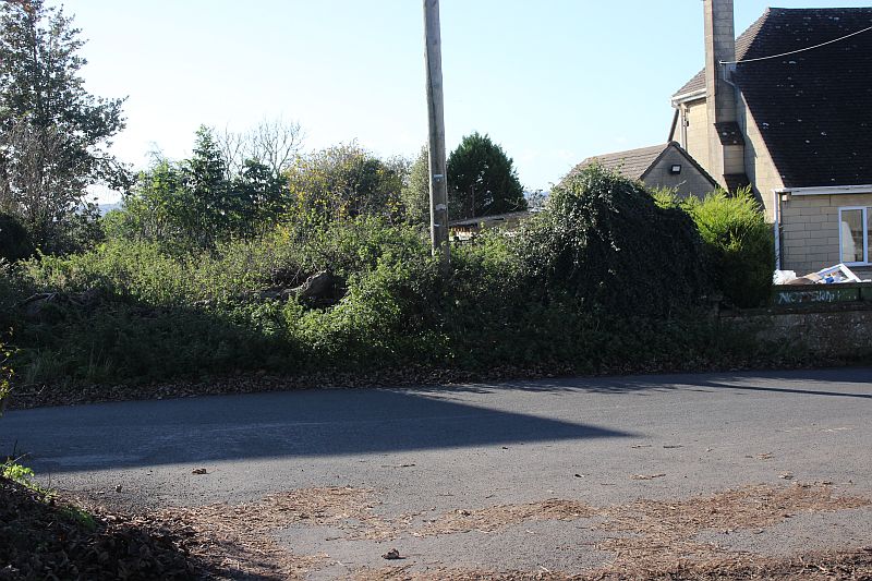
From the base of the incline the tramway ran eastwards to the
Lower Writhlington Colliery site. From the 90 degree turn
off the incline the loop ran a short distance where it became single
again The track bed ran to the left of this footpath and
the path verses off to the right and away from the track bed as it
heads for Church Road, lower Writhlington. I would think
the track bed is impassable from here to the Lower Writhlington
colliery site. I may check this out another time. The coal
Batch is just seen rising from the path, on the right.
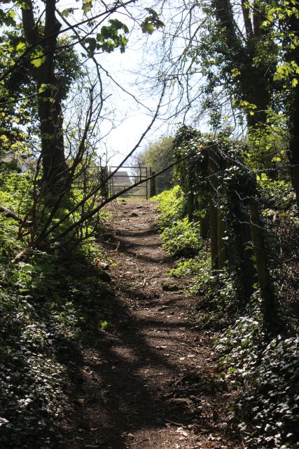
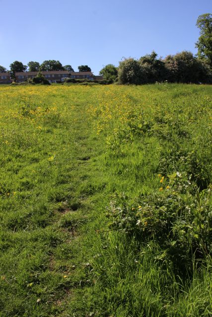
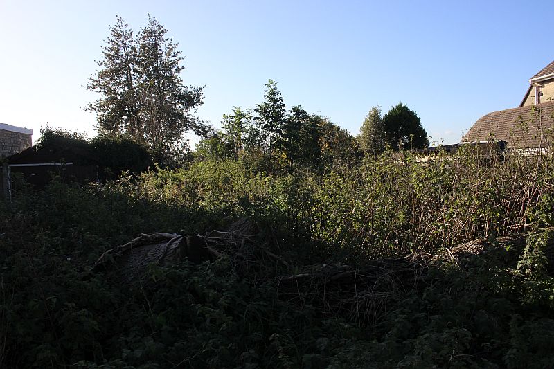
This
was how it looked on my first visit and I completely missed that you
could actually walk up the gradient and had to go via
Mill Lane and up the steep path to the summit at Frome Road. However
on my second visit the way was visibly clear to walk
up the gradient as here are the photos from that experience.
Update: As I found it on my next visit on the 23rd April 2021.
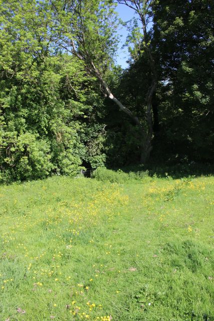
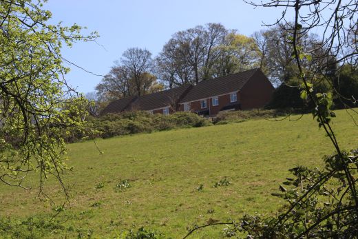
On the footpath to Lower Writhlington from Mill Lane. The coal batch is on
the right.
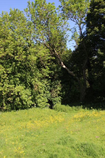
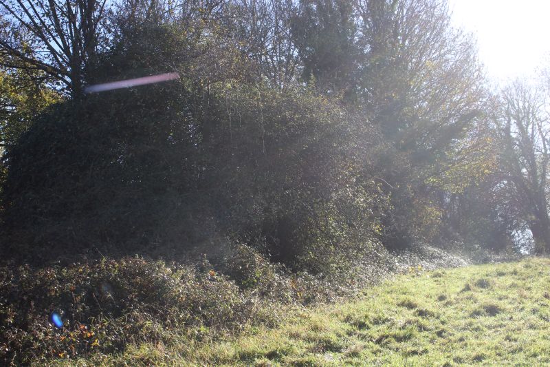
Just along the footpath from the base of the incline you can still see the
coal Batch within the trees.
From the incline where it made the 90 degree turn, eastwards, towards
Lower Writhlington coal mine.
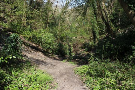
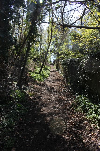
Looking down the incline to the bottom.
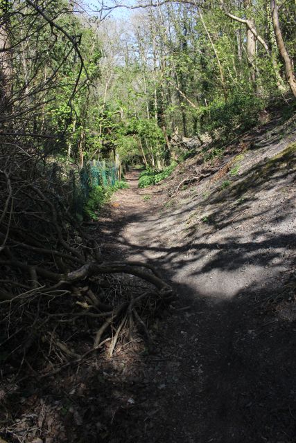
The climb starts to get narrower and more wooded as you progress.
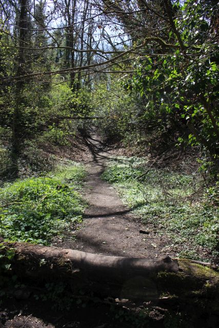

Here it almost looks as if the way may be blocked but it is easy enough to
continue.
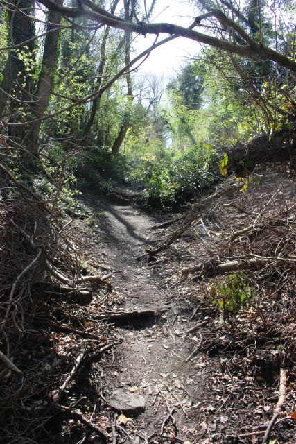
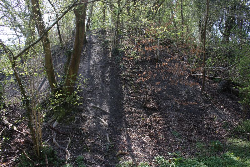
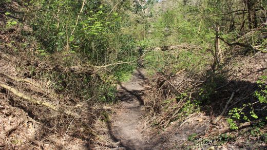
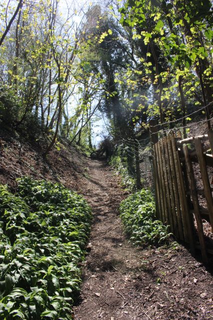
Going up the incline.
Reverse view from above.
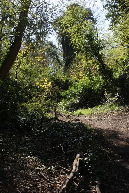
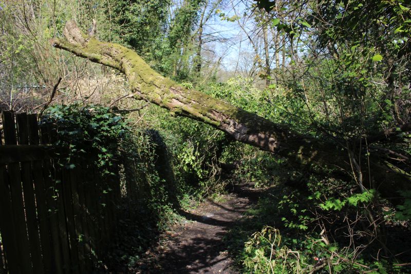
This is the actual spot where the spur(s) went into the coal mine. A fence
splits the full width of the track bed as it was. A
fallen tree tries to make up for the demolished over bridge, albeit a too
high!
This where the spur(s) led off the incline and into the coal mine, on the
left. You can also see the different level from the actual incline and
where the over bridge
went overhead.
Left: From the footpath through a short gap in the trees midway down the
incline. The spur(s) curved into the coal mine to the wheel pit was just
behind the house
on the left. Right: Just to the right of the photo on the left this is
where the spurs went too and from the incline.
The incline from the Ex coal mine junction up to the footpath over bridge
site.
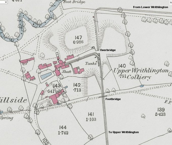
This early NLS Map crop shows the layout at the coal mine junction
with the two spurs for the mine
and the over bridge that the incline went below. I expect one spur was
for loaded wagons and the
other for empty wagons. The footpath over bridge is also shown. It is
interesting having a junction on
an incline. I
wonder if the wagons were uncoupled at the facing points and the
wagons let into the
mine by gravity
and drawn to the incline by Horse or even or railway staff!
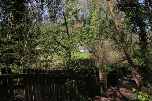
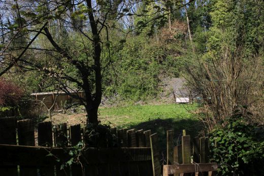
From the footpath you can just see over the fence and through the heavy
over growth the site where the Wheel Pit and Shaft was. Left: A wide angle
view.
Right: A 55mm view.I had to hold back branches and leafs to get a clear
view.
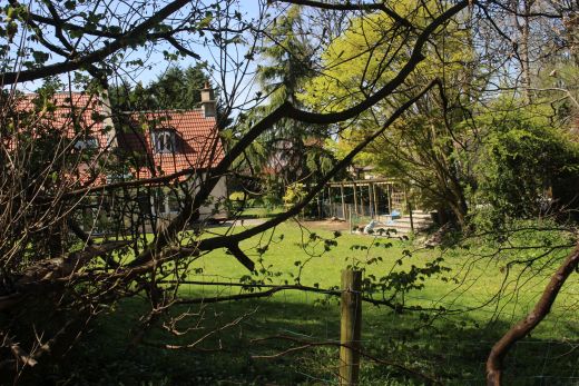
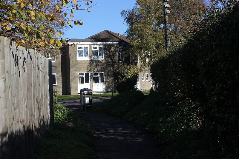
Looking eastwards on the footpath from Hillside Lane. The building was
part of the coal mine and you can see the heavy
growth that stops you seeing more of the coal mine site.
Left: You can see the back-fill to form this path. This had been an over
bridge with the footpath running over the top from east to west,
which is still there today. It is possible that the over bridge may still
be there below the path. Right: from the present day north side gate
that stands where the over bridge was. It had a clear run up to the summit
of the branch at the Coal Depot.
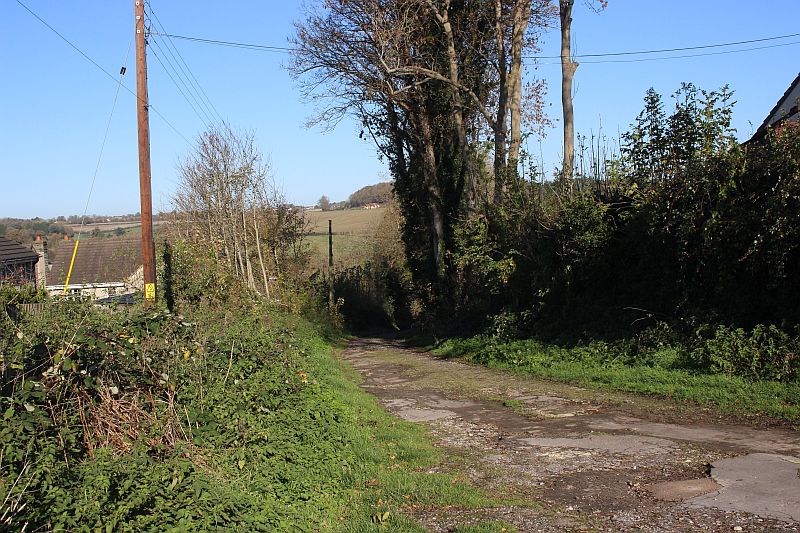
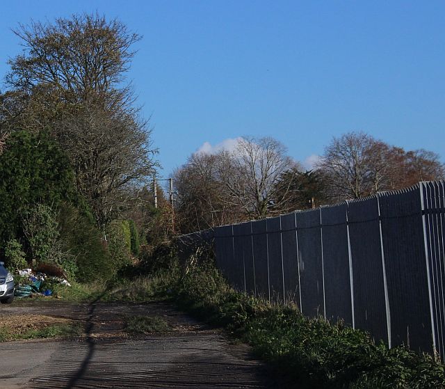
The railway had been in a shallow cutting up through here to the coal
depot level. The way is clear up to where the track bed is blocked by
the new estate at the end of Magdalene Road where there is a path
that takes you through the estate and up to the coal depot site on
Frome Road. There is also a footpath to the right that takes you through
a farm gate onto Hillside Lane.
A wider, clear view up to the blockage at Magdalene Road.
As
I couldn't walk the track bed towards Upper Writhlington Colliery site
I had to walk back along the S&D track bed
towards Radstock up to an adjoining path at Hillside that took me
along the south side of the Sewage Plant onto Mill Lane
where I joined another path that took me mto the site of te bottom of
the incline up to Frome Road Coal Depot. I could
only walk a short way along this path before it became too
overgrown but was able to find the base of the incline.
This
meant a walk back along the Ex S&D track bed towards Radstock up
to the south end of the sewage works where
a path leads you through to Mill Lane. Hillside Lane continues
off Mill Lane to the bottom of the Upper Writhlington
incline turned 90% too and from the three-way junction at Lower
Writhlington.
VIEWS FROM THE FIELD WHERE THE INCLINE RAN

View north eastwards. The Horse keeps a beady eye on me. Even when I
moved down to the tree line out of it's sight
it walked up to see where I was. Thankfully he, or the other two
Horses moved from that distance from me. The houses
in the hillside are those on the first level above the Lower Writhlington
sidings where the Braysdown Colliery Incline came
down from the mine.
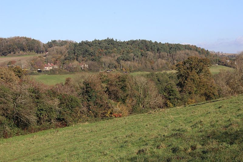
More to the east. The houses seen on the left are on the level below
Braysdown Colliery. You can just make out where
the incline came out of Braysdown mine above the houses, on
Woodborough Lane, dropping down to Lower
Writhlington Colliery.
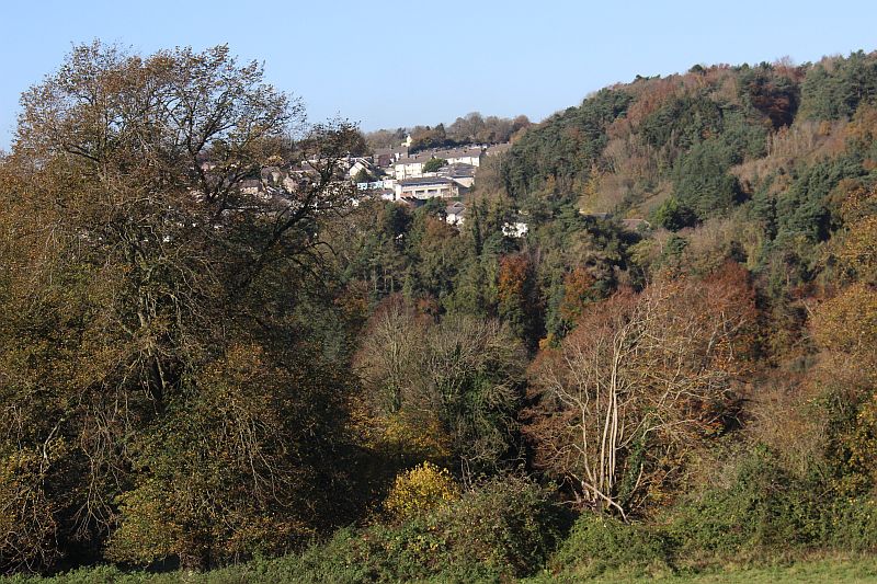
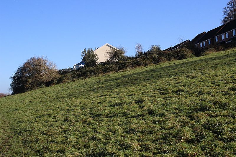
Views from the top of the incline. The houses are at Whitelands.
Ex Tyning Miner's Homes at Whitelands.
From half way down the
incline from the summit. The track bed is jut a line of trees and
bushes towards the
coal depot.
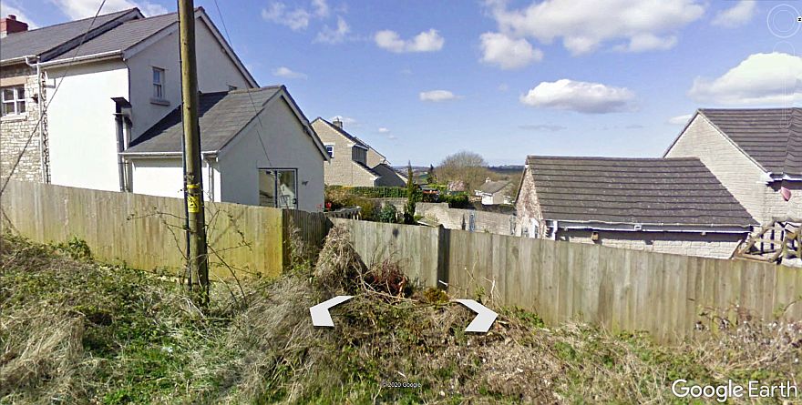
The track bed passed the western end of what is now Magdalene Road, a
housing estate off the Frome Road.
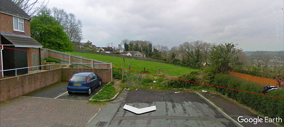
It was too overgrown to take a reasonable photo from Magdalene Road
but grabbed this view from Google Earth that was taken when the
way was a lot clearer.
Nearing the top of the incline. The track split into two lines forming
a loop. One leading into the coal depot and the
other carrying straight on across Frome Road and to the next incline
down to the Bristol & North Somerset Railway.
Hanover Court is behind these trees.
From the fence on Hillside Lane. . The incline ran down the brow
of the hill from the trees at top right.
The track bed at Magdalene Road from the top of Hillside Lane
At the Hillside pathway summit on Frome Road. Mount Pleasant Coal
Depot from Ludlow Colliery was on the left.
=============================================================================
MOUNT PLEASANT COAL DEPOT (Frome Road)
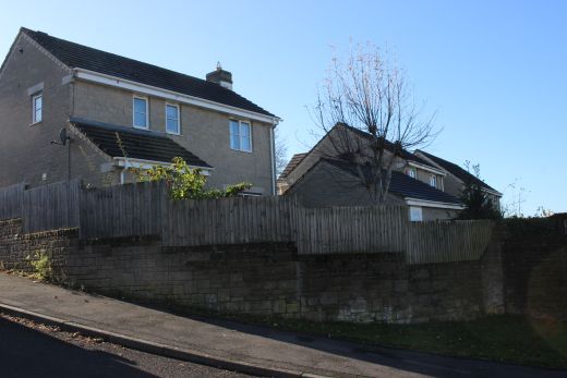
From Hillside lane, overlooking the Mount Pleasant Coal Depot site.
Nothing remains but there are tell-tail signs in the houses
where original building remain but have had numerous modern
extensions. The house on the left and the shed-like building on the
right. You can see that it has had two extension but that the window
and the stone work are from the original building. Likewise
the left side stone work is original. These are the remains of the row
of buildings seen on the right in the NLS map below. The
road far right is the present Hillside lane. The present road
Maple Rise did not exist then. The house seen behind is
where the
actual coal depot stood and where the branch line from Ludlow
Colliery terminated.
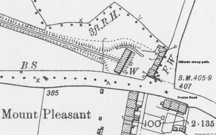
The coal depot detail is from the NLS Map set.
============================================================
Back
up Frome Road for a short way and we come to where the Upper
Writhlington branch crossed the Frome road.
Having come up the incline from both Lower & Upper Writhlington
Collieries it crossed the road where the next incline
took the railway down to meet the Bristol &North Somerset Railway,
close to the Kilmersdon Incline.
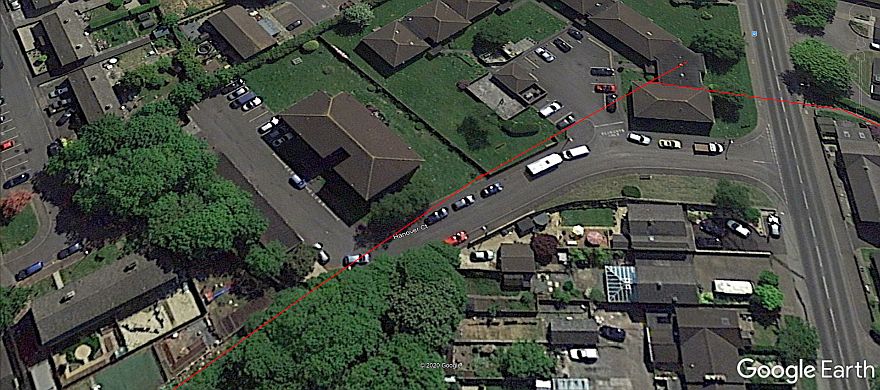
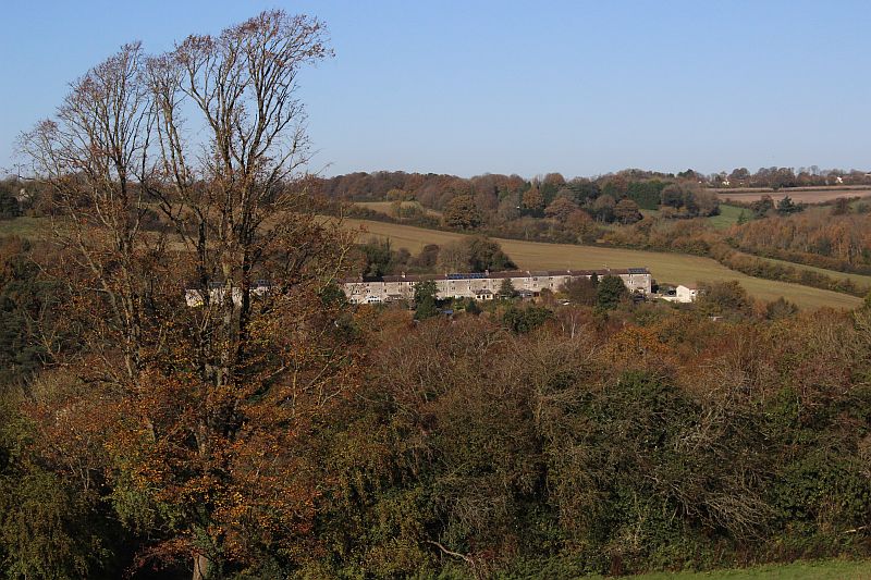
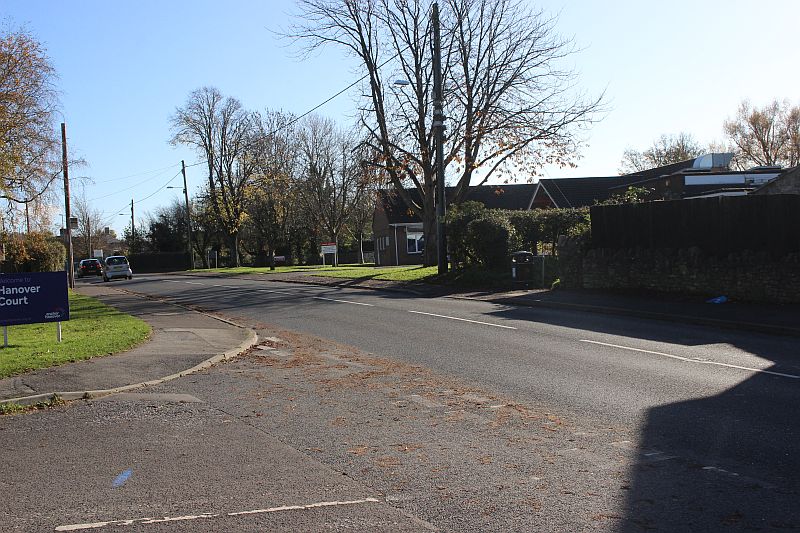
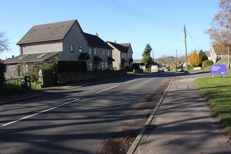
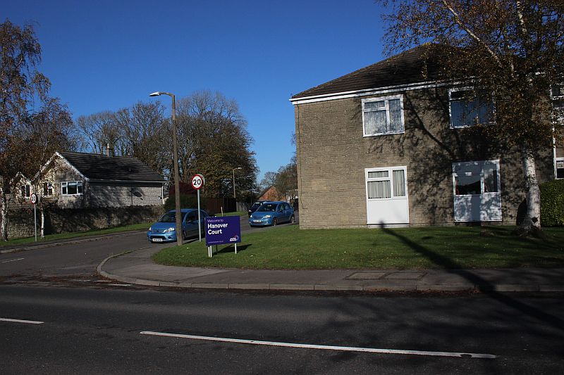
Upper Writhlington Coal Depot overview from Google Earth.
The coal depot layout. The track bed here is now Hanover Court. (NLS
Maps)
The track crossed Frome Road out of the coal depot on the right and
onward to the summit of the incline at Mells Lane
down to the North Somerset Railway.
Opposite view looking down Frome Road.
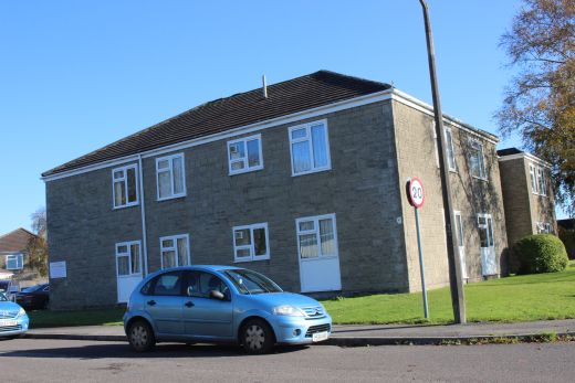
Hanover Court, a Care Home stands on the site of the Coal Depot and HQ
buildings and the track bed itself.
Right: Looking at what would have been inside the coal depot.
The tramway came in from the summit along what is now Hanover Court.
It went directly across the road but there was a spur off to the right
and into the
Coal Depot site where
The tramway is blocked off at this point. The red bricked house up
ahead is at the spot where I took my photos by
Magdalen Road.
The southern side of Frome Road and the track bed through to Mells
Lane.
Opposite view where the track crossed the road and into the coal
depot. The track was at this angle over the road.
Hanover Court across Frome Road from the tramway track bed.
The way is blocked after a few yards and I had to walk through the
housing estate on Sycamore Road for a way
before could get back onto the track bed again.
Back on the track bed again with just a short walk to where it crossed
Mells Lane where the next incline dropped
down to the Radstock-Frome main line.
Brighter views looking north & south from this spot. Taken on the
23d April 2021.
Cropped image from above. The blockage towards the depot at Frome
Road.
Left: By the road crossing on Mells Lane. looking southwards. Right:
From the road crossing looking back towards Frome Road.
Where the track crossed Mells Lane.
The way is blocked. The cable wheel house stood by the tall tree.

Not being able to get onto the incline from here I walked down Mells
Lane to the site of Ludlow Colliery
and to the bottom of the Writhlington tramway. However, didn't
find anything to photograph and completed
my day's outing with a walk up the Kilmersdon incline to the mine
site, which is my next web page.
========================================================
=========================================================
The
Dundee & Newtyle Rlwy Walks Opened in 1831 the route had three incline planes. The
first was from the terminal station on Ward Street, up the
Dundee Law, where there was
also a tunnel. The second was the Balbeuchley incline at
Rosemill and the third at Hatton that ran down to Newtyle station.
It was also the very first passenger train service in Scotland.
Worked by Horse over the levels until the first steam engine was
purchased in 1833. Came under the Caledonian Railway with it's
terminal moved to Dundee West station. Passengers
service ended in 1952 and the line totally closed in the mid 60's.
The inclines were by-passed in the 1860's.
The Cromford & High Peak Incline
railway in Derbyshire has been luckier in having much of it's
buildings, including an Engine House preserved. This is what could have happened
with
the D&N, indeed, should have happened with at least one of the
D&N inclines. However, the C&H gives an excellent comparison
of what
the D&N would have looked like, albeit the
inclines were only single track.
Boddam To Ellon Branch (Walks)
By Bill Reid. Ex GNSR branch line.
Dyce To Fraserburgh and Peterhead Walks. Ex
GNSR
Bath To Wellow Rlwy Walks Ex
Somerset & Dorset Rlwy.
The Test Valley Railway Walk. (New Mills To Hayfield).
Hosted by www.theatreorgans.com