--``````````````
Back To Radstock Collieries Index
WRITHLINGTON COLLIERY (Radstock)
(1784 to 1973)
(From two visits on the 9th and 17th of September 2020)
(Updated June 2023)
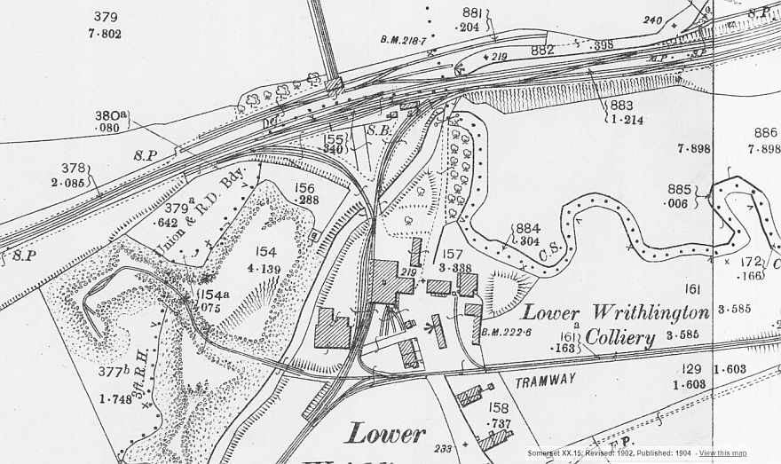
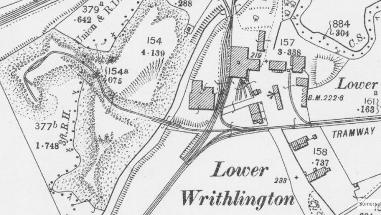
Writhington Colliery. (NLS Map) N.B. From a revised 1902 map and published in 1904.
Writhlington Colliery (1784 to 1973. At the time of this map the right hand spur of the colliery linked to the main while the spur to the left didn't. It was
just a shunt with a run round loop. Trains for the mainline would have had to make a back shunt. However, originally only the left hand spur existed and
it ran along the mainline into Radstock. When the mainline was doubled the layout at Writhlington had to be redesigned and and a new spur from the
north was added and the left hand spur cut short. The branch to Radstock becoming the new Down main line.
Writhlington colliery also had it's own 2' 6 and a half inch tramway system within the colliery site that extended via another triangle junction on the south
side of the colliery building, to Foxcote colliery to the east and to Upper Writhlington colliery.to the south west.
Braysdown colliery was linked from the north side of the S&D line via an incline railway that had it's own "Braysdown" sidings to deal with those trains..
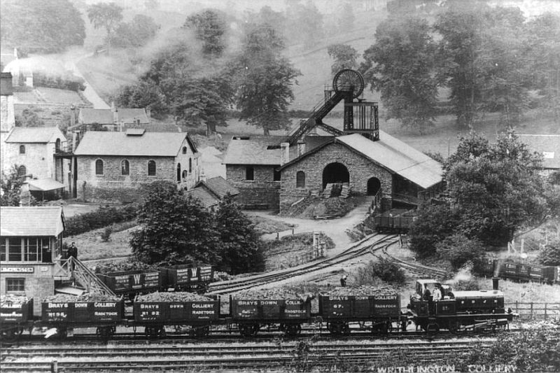
(Author Unknown).
An excellent photo of the colliery, signal box and the triangle of track in front of the mine.The triangle points are on the south side of the
Wellow Brook bridge. You can see the left hand parapet and railings of the bridge on the left of the points. The triangle junction to the
Foxcote colliery branch is on the other side of the wagon loading bay building. Where the worker at lower center right the war time pill
box stands by the bushes to his right. Virtually everything you see in this photo no longer exists.A way of life completely obliterated.
This photo was obviously posed as both the train crew and the signalman are looking towards the camera. It is obviously an official
record. The engine house is seen far left of center. This is where the present day private house stands.
N.B. The wagons have the individual markings for both the Writhlington and Braysdown collieries.The train is obviously of Braysdown
wagons while the two wagons on the colliery spur are Writhlington ones.
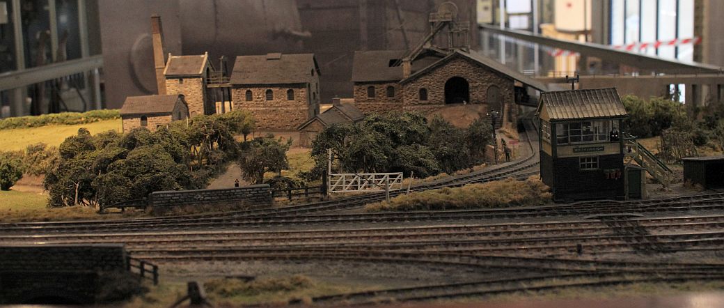
The very fine 4mm scale model railway of Writhlington Coal Mine by Alan Parr and Carol Bonfield who have donated
the model to Radstock Museum. It is only on static display but it is planned to have it fully running in due course.
(Photo by Bill Reid).
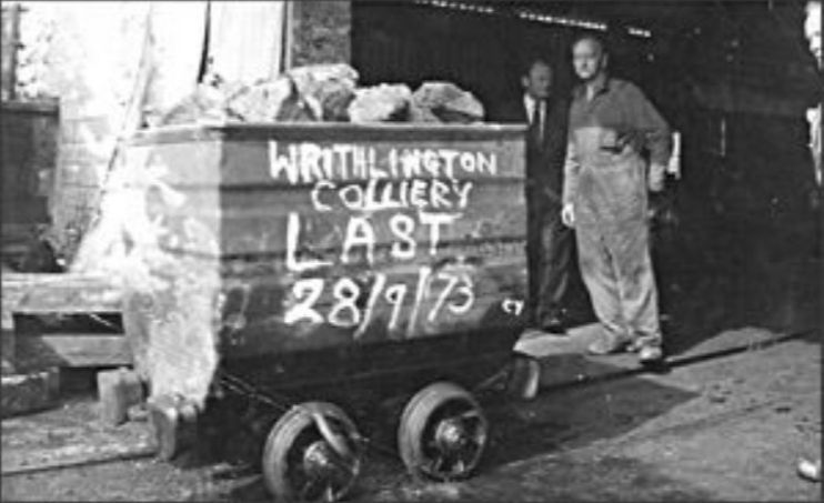
Writhlington's final loaded coal wagon. 1973.This had to be to Foxcote colliery as it is on the narrow gauge line.
(Author Unknown)
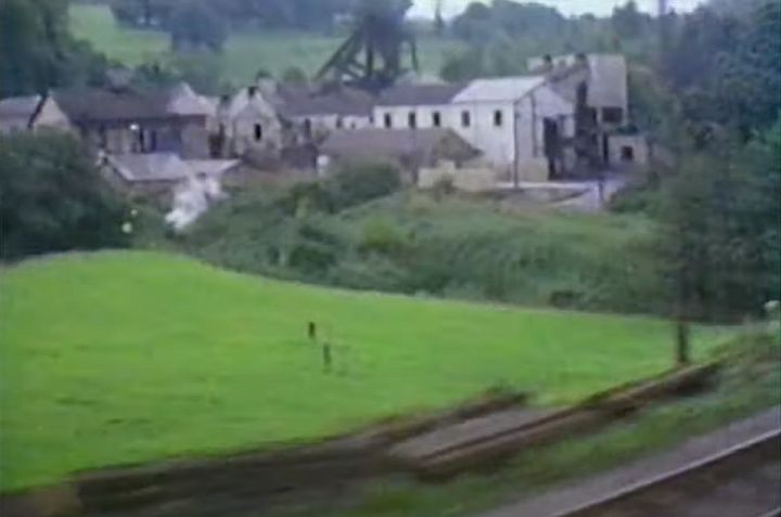
A screen grab from a video. Taken from a train about to pass the colliery site in the 60's. Sadly the scene was
edited at this point and missed out on seeing the colliery face on. N.B. The colliery has been rebuilt and extended
considerably since the earlier B&W photo above and latter design & build was of a typical rather austeric industrial
look. This view today is obliterated by wall of trees. .
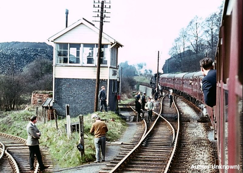
A tour special pauses at Writhlington signal box and heading for Radstock in 1966. N.B. The pill box is seen behind and just off to the
west of the signal box. On the right is the mine branch. It was a double line allowing for run rounds. The track curving off in front of the
box is the line that allowed a back shunt off the west side curve siding that was also a run round loop. It is interesting that this siding was
below mainline level and you can see that the locomotive and first coach are passing on a high retaining wall. It is difficult to believe that
there was such a large slag heap on the left hand side of the railway. (Author Unknown).
Another interesting point was a person I chatted to during my visit mentioned that there were two sections of rail to be seen. However,
I never got to the spot or simply missed them on the passing but it looks as if these are the two rails used as fence posts you see between
the two men on the left. Perhaps I will spot them in another visit to the site. The site is very difficult to make out on the ground and it is
markers such as the pill box and the two rail posts that help to visualize it better. Perhaps I will spot these rails on a future visit to the site.
Checked out some of the other NLS maps and found that at this time the south facing spur from the colliery was closed and lifted. Only the
north facing spur was in use. The facing points where the people are standing on the link track to the is just a head shunt. The tramway to
Foxcote colliery had also gone.
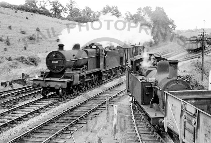
Shunting from the colliery too and from the Up Goods Siding. (Author Unknown).
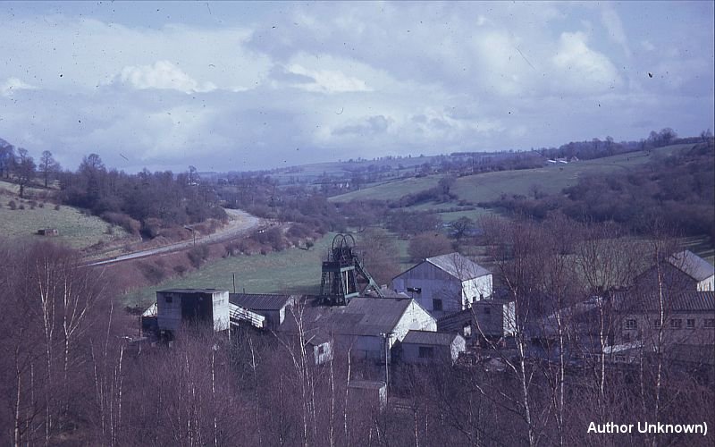
After closure of the S&D. The mainline curves northwards towards Shoscombe & Single Hill. The down sidings are still
intact as coal trains still run to the colliery via a new connection with the North Somerset branch at Radstock stations. This
has been taken from the slag heap. (Author unknown).
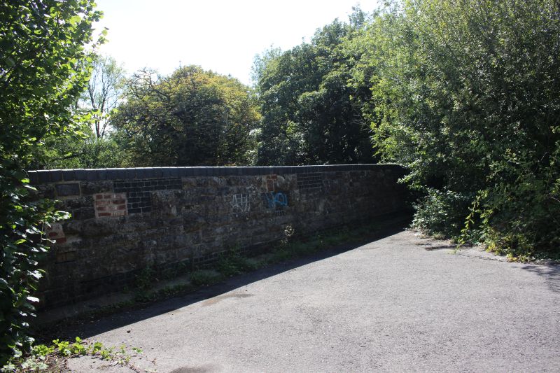
The north facing curve followed the south side of the bridge and into the colliery. There were a number of tracks and sidings
at this site.
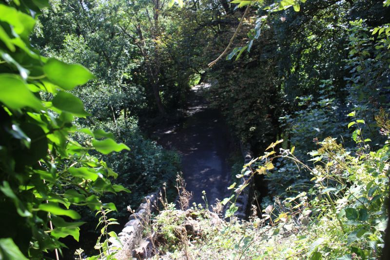
Looking down on the Writhlington road. The Wellow brook runs below the road.
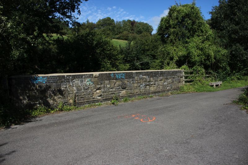
North side of the under bridge. The road below is between Lower Writhlington and Peasington St Johns.
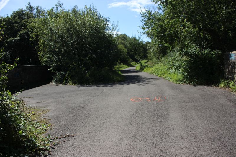
The signal box stood just beyond the trees at left of center.
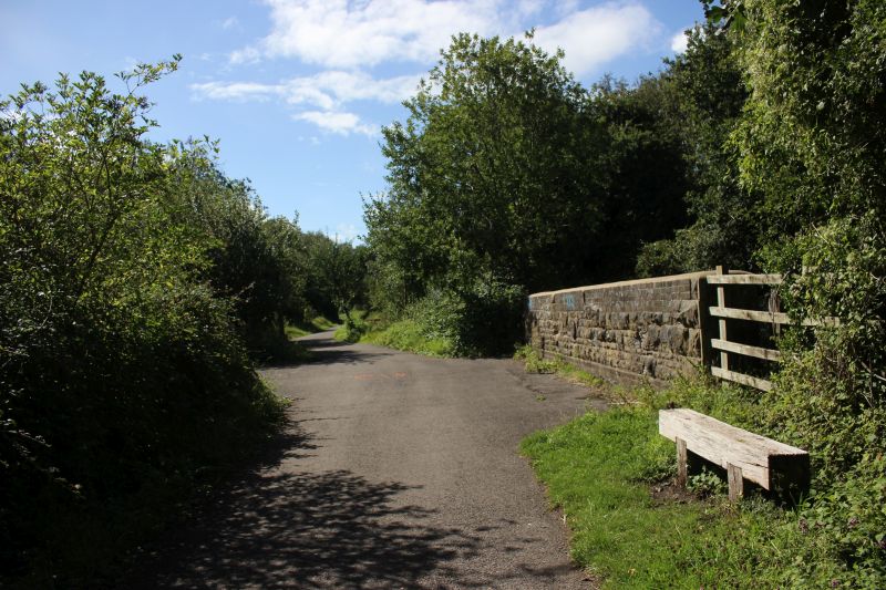
Difficult to realise how busy a place this was. Looking towards Radstock. Along with the connection into the colliery the
tracks opened up into a number of sidings up ahead, ahead of the bridge, on the right and a steep incline railway came down
from Baysdown Colliery that created much shunting and marshalling of loaded and empty coal wagons being taken up and
down the incline.
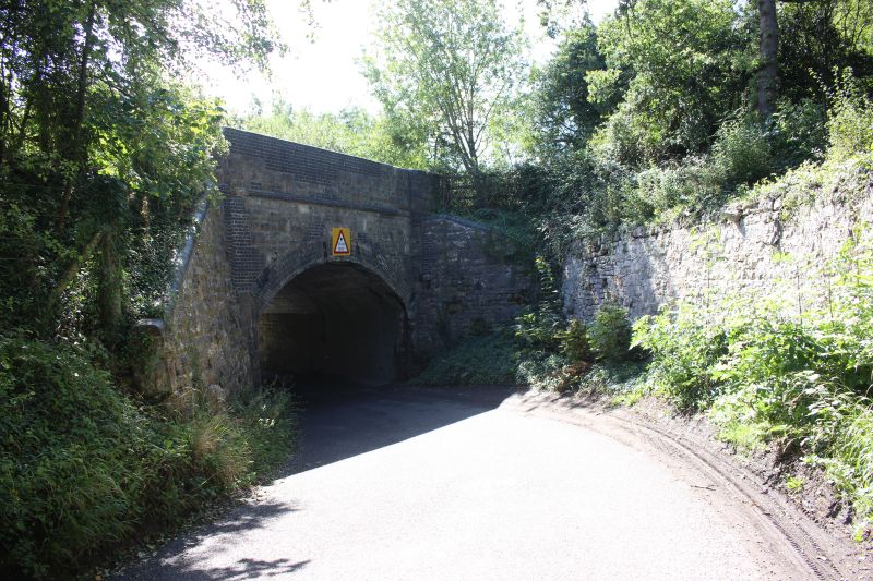
Walking down the north side of the road, below the S&D towards where the Foxcote colliery branch crossed the road.
The Braysdown sidings were at the top of the bank on the right.
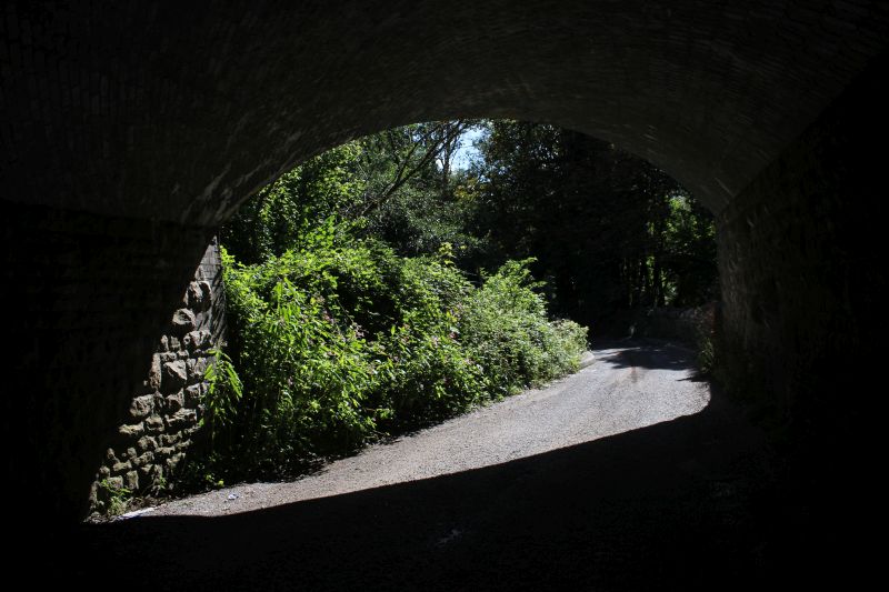
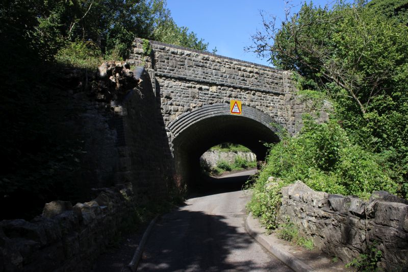
The south side of the over S&D under bridge. A very nice structure.The The Wellow brook runs below the road.
===============================================================
WRITHLINGTON COLLIERY AND FOXCOTE COLLIERY TRAMWAY
The south triangle Tramway junction. The branch west to east ran too and from Foxcote Colliery. The north facing spur too
and from the Writhlington colliery and the south spur to a coal depot on Frome Road to the east of Radstock. The tramway
was of a 2' 8"gauge track.gauge. Foxcote was the combination of both Huish and Foxcote collieries.
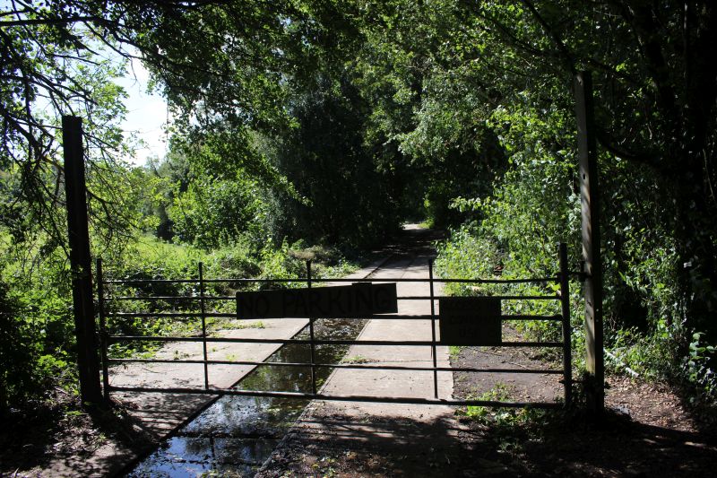
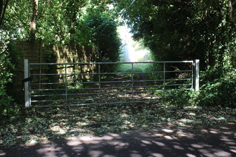
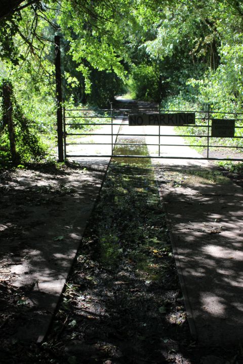
Where the branch to Foxcote colliery crossed the road. This is looking towards the lower triangle junction just up ahead. The
north facing curve in the colliery and the south facing curve to the coal depot.
.JPG)
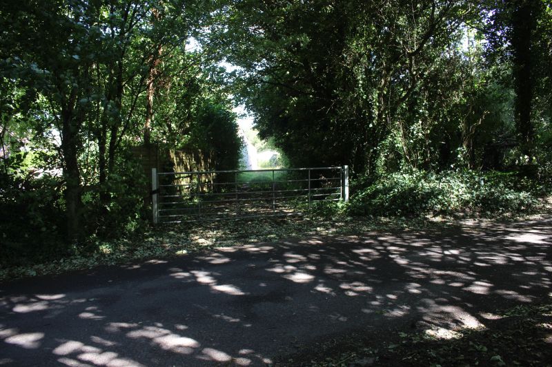
Where the tramway branch to Foxcote colliery crossed the road. Heading eastwards then sharply curving southwards beyond
the colliery to a coal depot on the Frome Road.
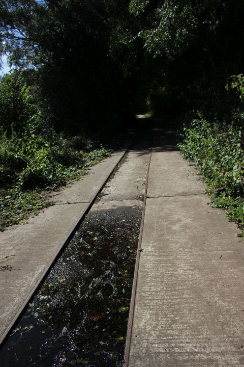
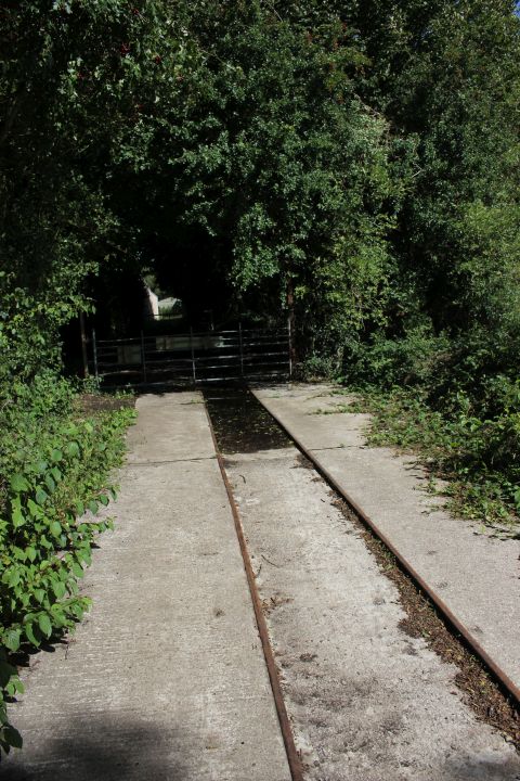
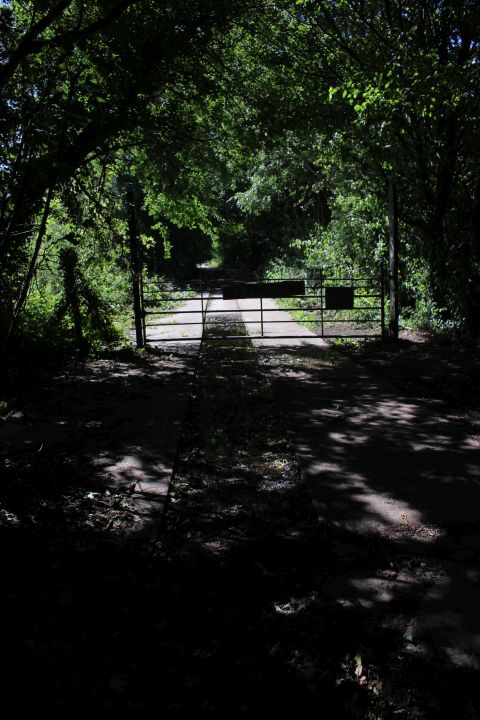
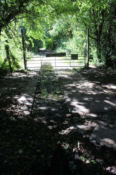
Part way along the Tramway branch. Left: Eastward view with the track running towards the three way triangle junction. Right: Eastward view
with the track running towards the road crossing and on to Foxcote Colliery. While the original track may have been 2' 8" and a half this remaining
track proves that it had been converted to standard gauge at some point.
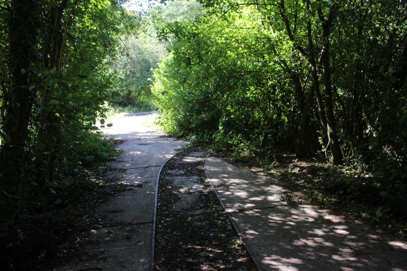
No longer a three way junction the remaining track, cut short just within the trees on the right came from the south side of
Writhlington colliery. I have no idea when the south curve and the straight ahead line were removed. I expect the track is set
in concrete here because lorries also used this taking waste coal to the slag heap.
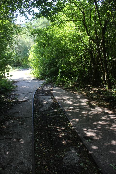
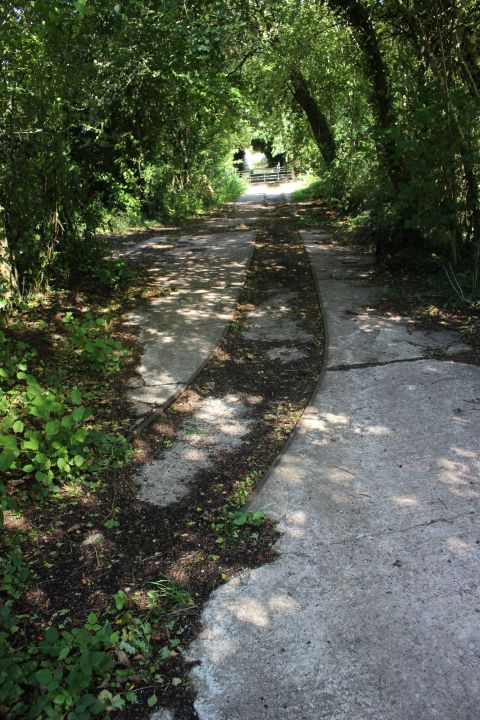
Left: The remains of the three-way triangle junction. Only the north facing spur remains. The south facing curve and the straight ahead line must have
been removed some years before the colliery finally closed. Right: The north facing spur leaving the colliery and heading for Foxcote colliery and coal
depot. The road crossing was gated and still is.
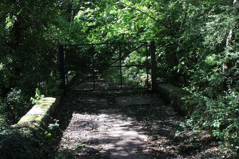
Bridge over the Wellow brook. This is as far as you can go as the branch ahead is blocked by a high and very strong gate.
However, from my latest visit to the site it looks as if you can get to the slag heap site from within the Colliery site.
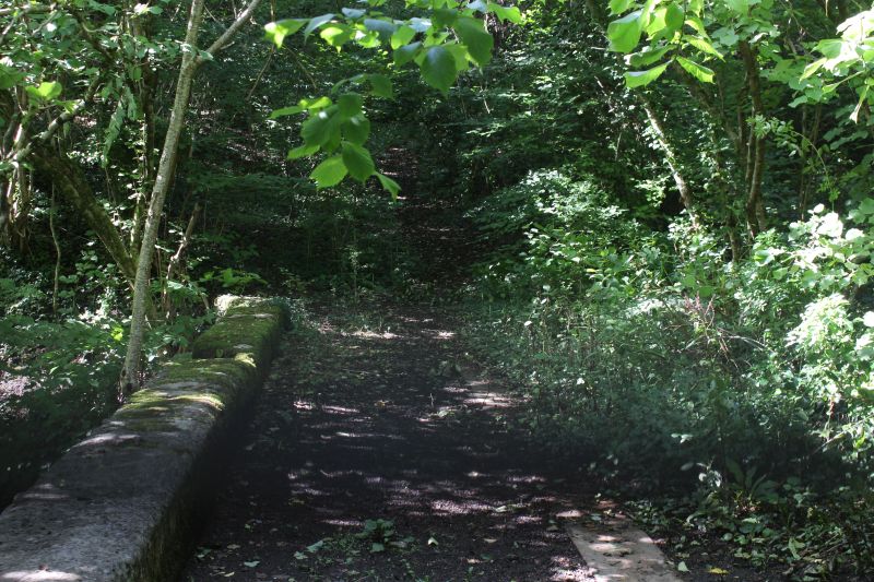
.JPG)
Not easy to see due to the heavy over growth but the branch track bed ends
just ahead and the ground has been heavily back-filled to a fair height. It
rises quite steeply in front of you. I would think that this was the slag heap
and that the line to the 'quarry' siding may have disappeared below it long
before the colliery closed.
.JPG)
Looking back from the gate towards the Foxcote track.
THE COLLIERY SITE TODAY
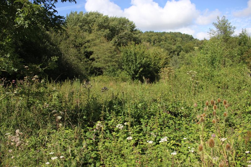
The actual colliery site is completely clear of buildings but nature is beginning t take over and it is difficult to recognize this
area without referring to a map or photographs.
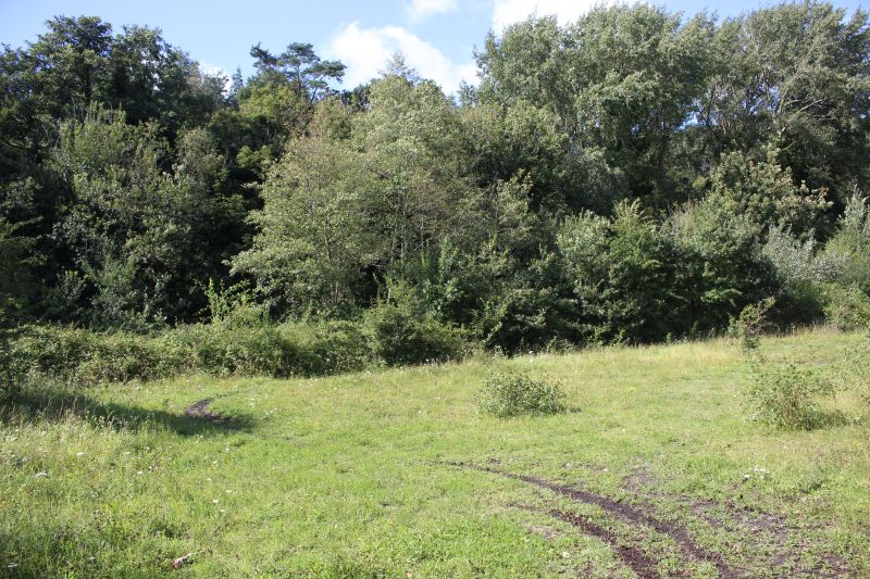
I am guessing this is where the over bridge and road stood that took spoil in building the massive slag heap.Again, it's
difficult to imagine such a large structure had stood here. This structure was probably demolished at the time the newer
collier building were completed..
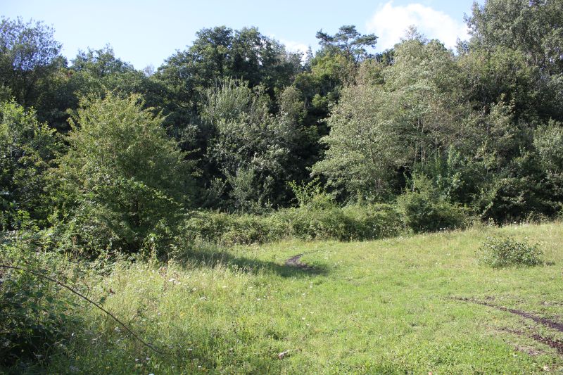
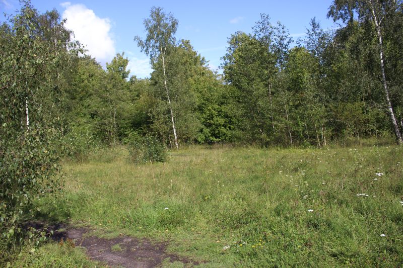
Here you would have seen the triangle junction with the Foxcote branch curving off to the right and the direct branch
entering the south side of the coal loading building. The east to west branch too/from the coal siding to the far left would
have run directly across your path.

You would have been looking through the coaling stage at this point. Looking southwards.
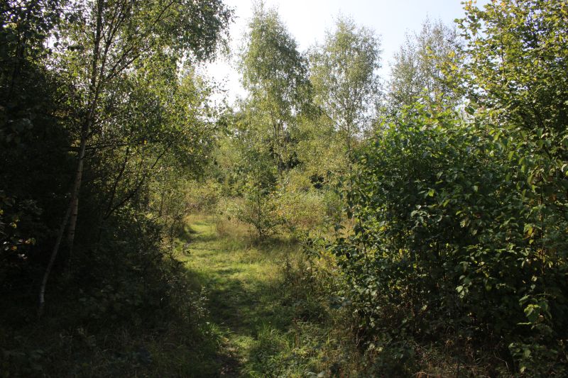
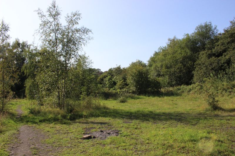
Someone's been having a picnic here by the look of it.
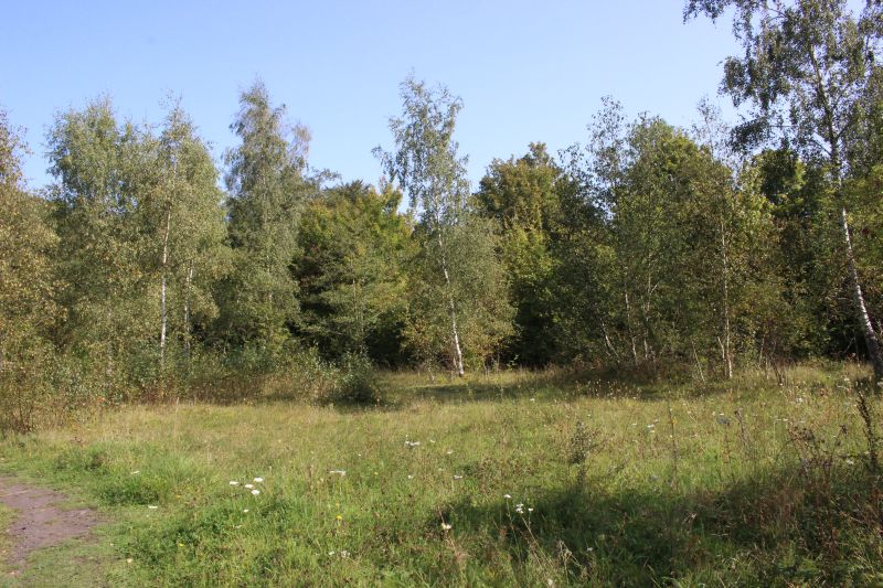
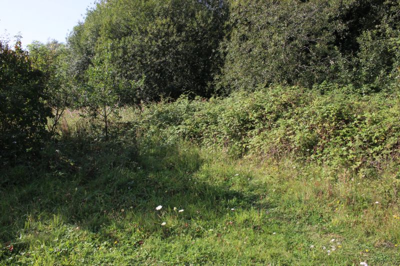
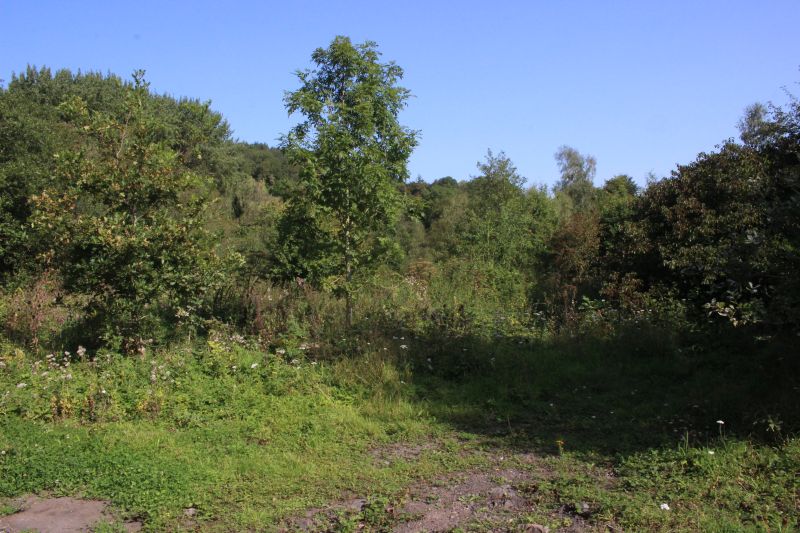
This is where the northwards spur came in from the three-way junction and into the colliery.
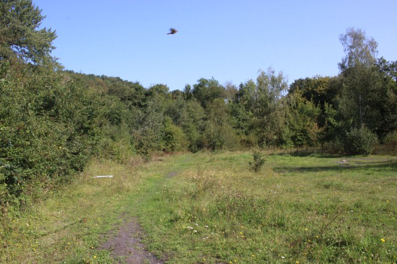
Looking northwards from the rear of the colliery, towards the junction with the main line.
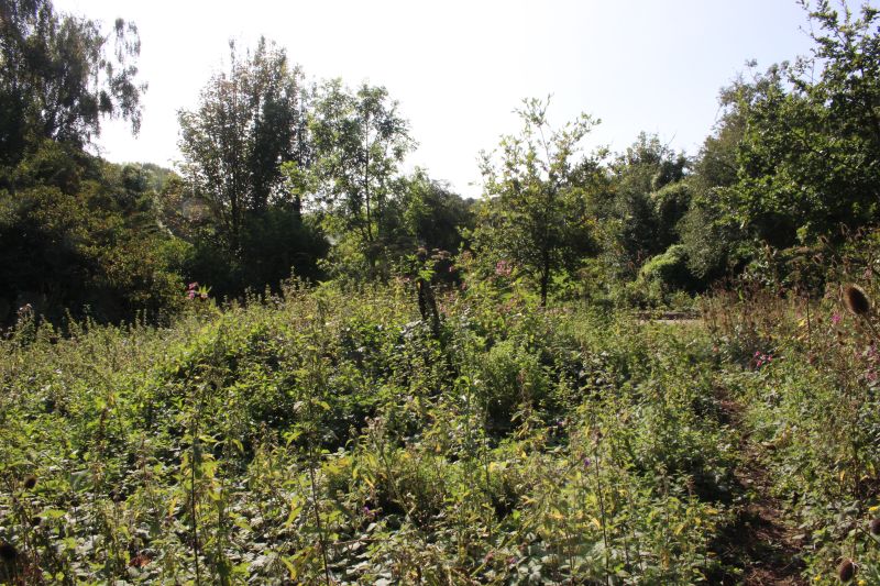
Looking southwards. You can just make out the track bed of the tramway running westwards towards the slag heap.
-----------------------------------------------------------------------------------------
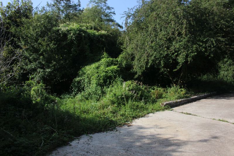
Where the south facing spur curved off and turned southwards to the coal depot on Frome Road. This track would have gone
soon after Upper Writhlington Colliery closed.
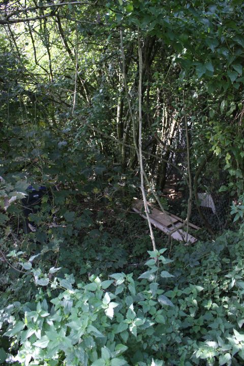
The way is blocked by the over growth..
=================================================
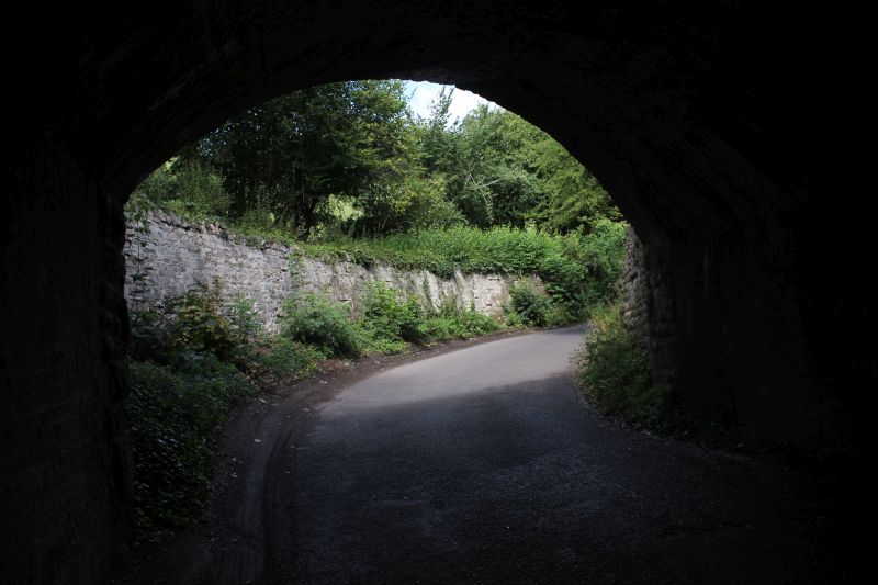
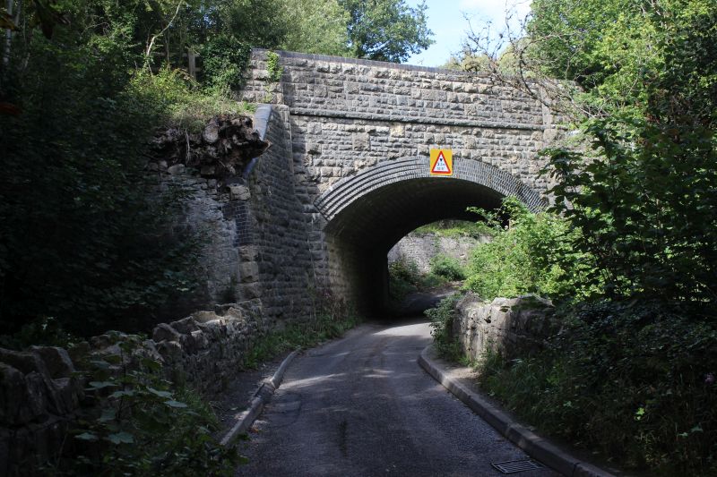
The S&D under bridge.It was of a very pleasing design. The Wellow Brook ran below at this point and there had been an
opening into the colliery around his point too.
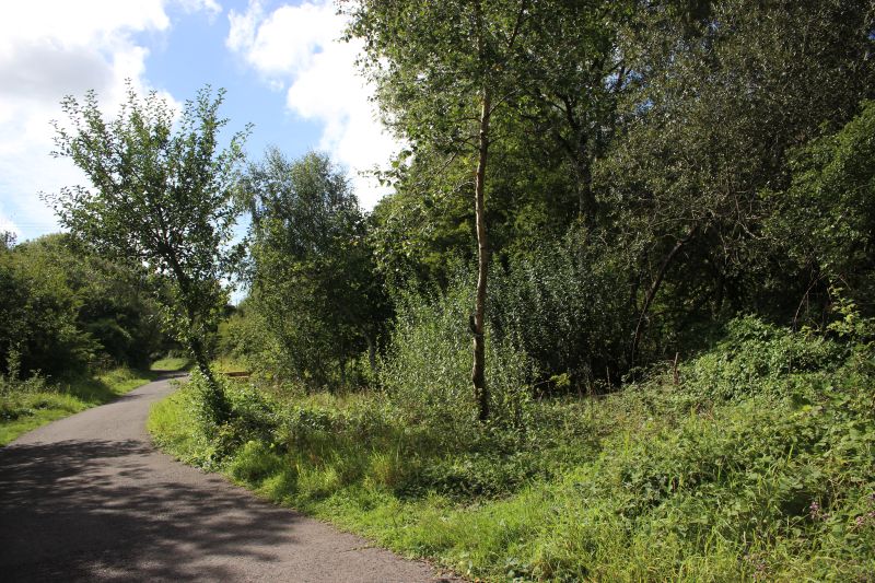
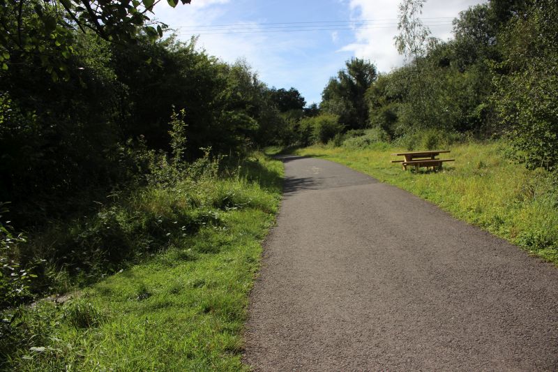
The triangle from the colliery was on the left and there were siding on the right. Looking towards Radstock.
THE COLLIERY BRIDGE OVER THE WELLOW BROOK
The bridge in front of the Colliery building is hidden in deep over growth and little light gets onto it throughout the summer and is difficult to photograph
well. The railings and abutments have virtually gone and you need to take care getting too close to the edge. A short length of railing still stands on the
eastern side (North end of the bridge) and none on the western side. Most of the decorative coping stones have also gone.
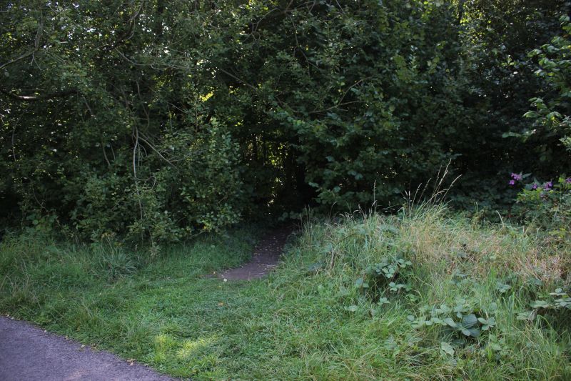
By the sidings an unofficial gap leads you directly to the bridge over the Wellow Brook and up to the colliery site.
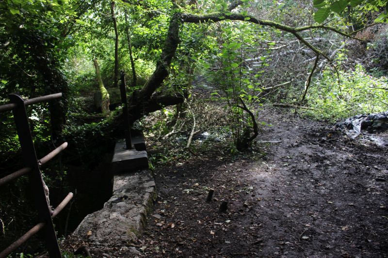
Approaching the site of the bridge over the Wellow Brook. You just see the railings to the left of center. The opposite edge of
the bridge is within the trees to the right.The two spurs spread out to the left and right and the track came out of the loading
bay just up ahead.
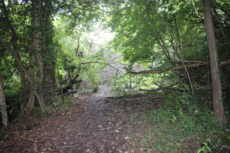
As above. On the south curve of the triangle junction. The fence remains is of the bridge over the Wellow Brook where the
two lines met prior to entering the colliery loading building. Taken with flash to open up the very dense and dark overgrowth
You see this fence in the old B&W photo above.

The bridge parapet on the north side.The Whitewicks stood here in their latest video "
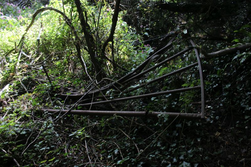
The west side Gate that locked the Colliery off when the spurs weren't being used. It had taken some force to bend them in
this way
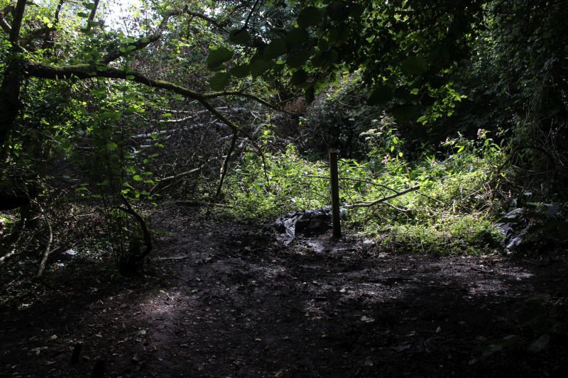
The way becomes very dense with over growth as you reach the site of the Colliery mine shaft building.
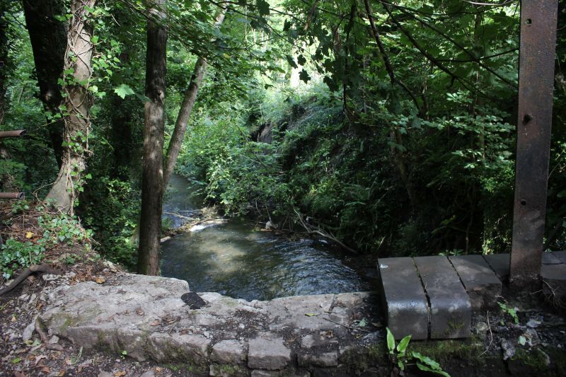
The Wellow brook running towards Wellow. N.B. The missing coping stones.
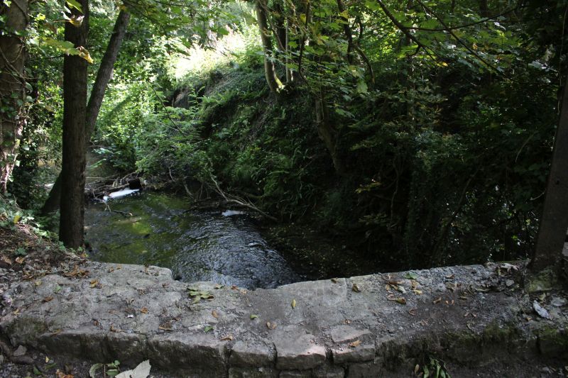
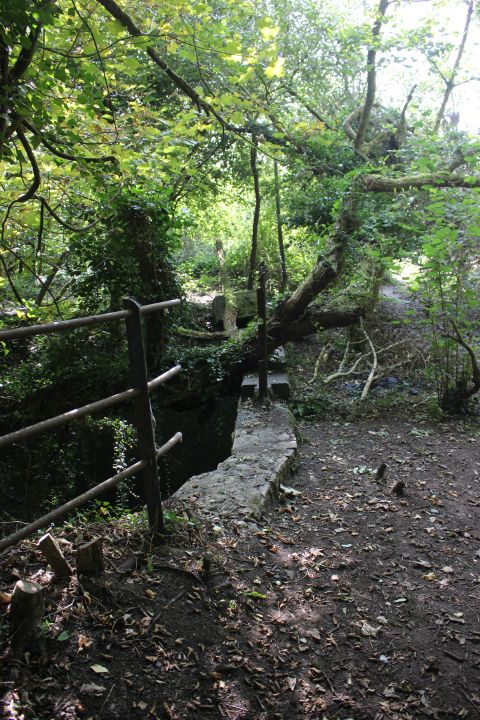
The north side fencing is all that remains.
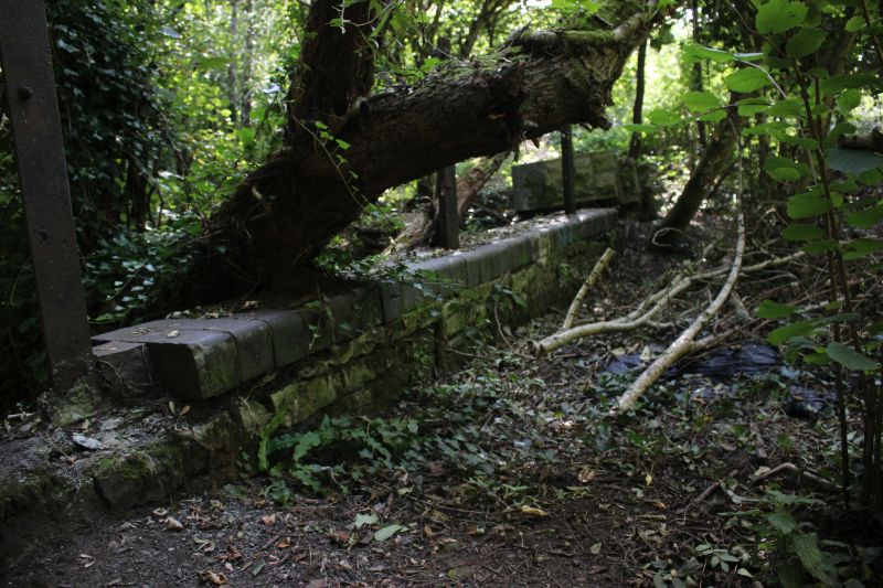
The south side coping stones. A massive tree grows up from the river bank and is putting some pressure on the bridge structure.
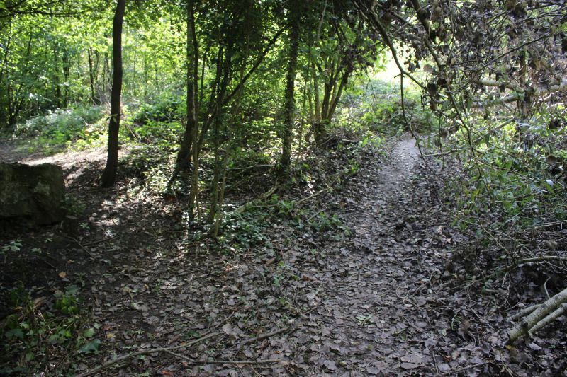
The south side of the bridge. From here the path on the left took you into the colliery while the track to the right took you into
the coal loading bay. The track continued ahead up to a three way junction.that included the long branch to Foxcote coal mine.
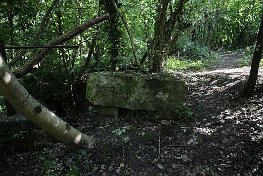
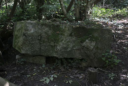
Stone topping of the bridge parapet lays on the ground.
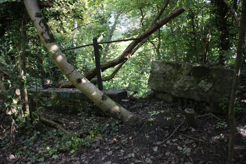
I am surprised that the overgrowth has been left to do so much damage to the top of the bridge. The state of this bridge is
still import in spite of the railway being gone. Unless, of course the long term plan is for the bridge to simply disappear in time
and leave the brook open as it originally was!.This is no mere bridge and is of considerable build and wide enough to be more a
short tunnel.
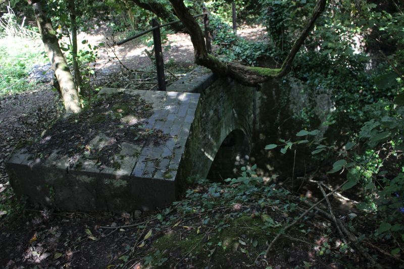
The east side of the bridge.
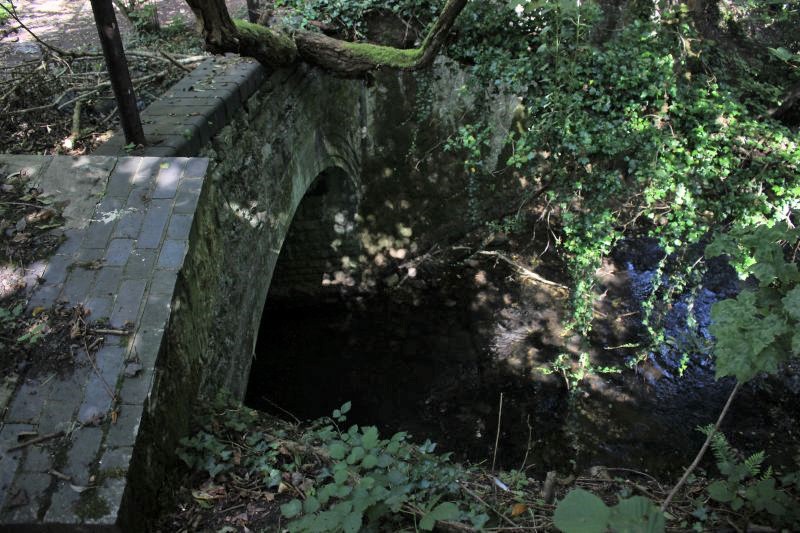
Again, difficult to photograph due to the dense over growth cutting out the light. This was a beautiful bright sunny day yet
everything was in shadow.
===============================================================
UPDATE JUNE 2023
On the 8th June 2023 I managed to add in a walk around Lower Writhlington to end my day out to the Ex S&D at Shepton Mallet. It was interesting to find that the
original bridge over the Wellow Brook at the site of Lower Writhlington Colliery has sonce been totally rebuilt. Sadly the quality of design of the original is now
gone but has been replaced by quite a neat lined modern bridge.
.jpg)
It's a pity that much of the original work has been lost but you can see where they have neatly built the modern brick work upon some
of the original stones. The pipe scaffold-style railings have no character but makes for a clean, modern appearance.
.jpg)
Difficult to recognise this as the original bridge and where the triangle junction once stood just outside the coal hopper buildings where
the wagons were loaded. Howeverthe bridge has been made much safer for adults & Children viviting this intersting area.
=============================================================
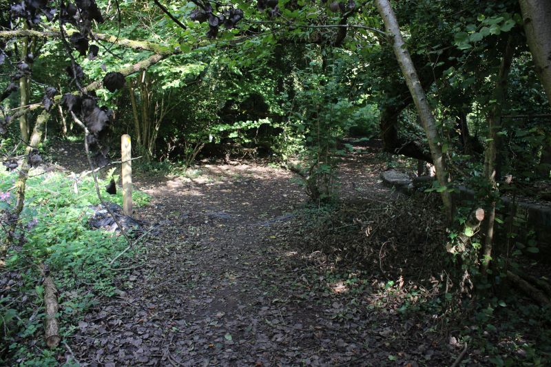
North end of the bridge where the two spurs curved off to the left and right The right hand spur only linked to the mainline
while the south spur was only a looped head shunt.This is behind the signal box with the pill box off to the left.
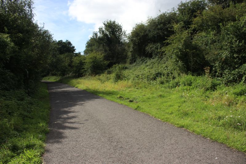
The S&D track bed running southwards into Radstock.On the right the track bed widens as it forms the Braysdown sidings.
=================================================
THE PILL BOX THAT STOOD TO THE REAR OF THE SIGNALBOX
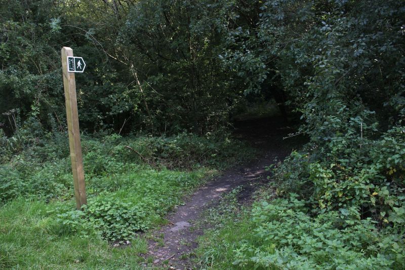
From the track bed a footpath sign directs you straight to the Pill Box Site then onto the Wellow Brook bridge.
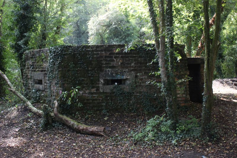
The pill box that stood in the open to the west side of the signal box now lays in a deeply wooded area.
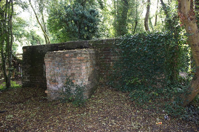
West side of the pill box with the bomb blast entrance.

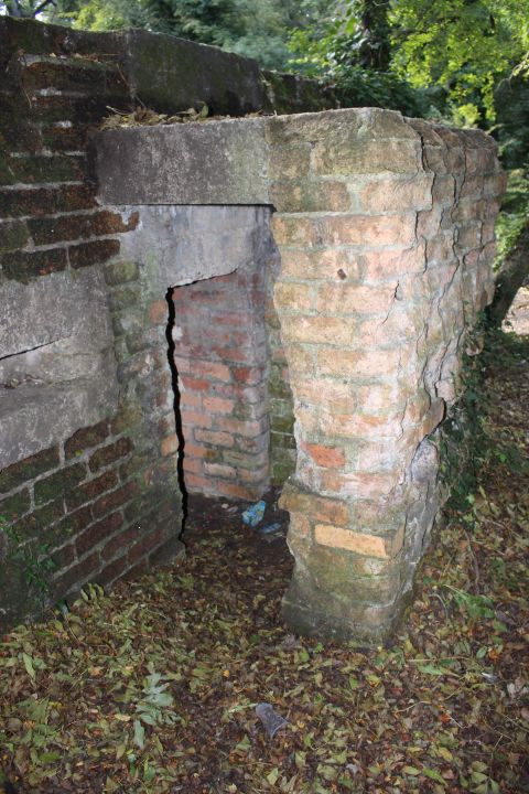
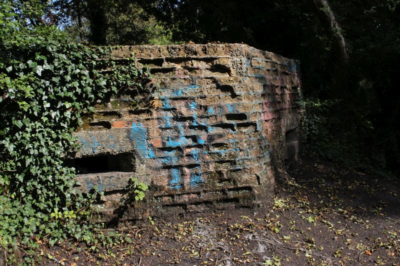
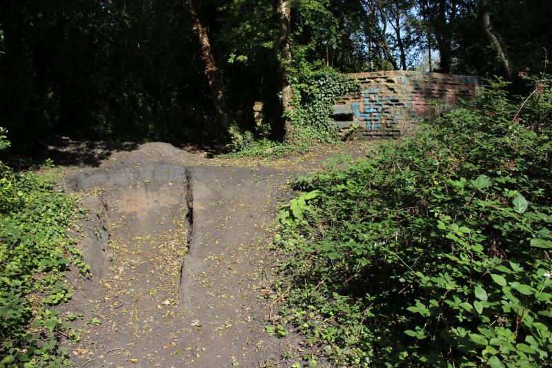
The soil all around this area is as much coal dust as soil. As a SSSI site it has been dug up and there are heaps of soil all over
the place. South facing wall of the Pill Box. Many interesting artifacts and insects are to be found here.
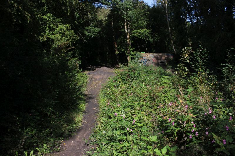
The rear of the Pill Box. This and the signal box were on higher ground and was fenced all round up to the signal box in
railway days.We are mid way between the two spurs and the colliery entrance.
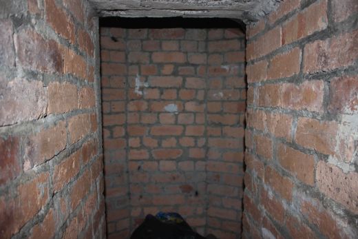
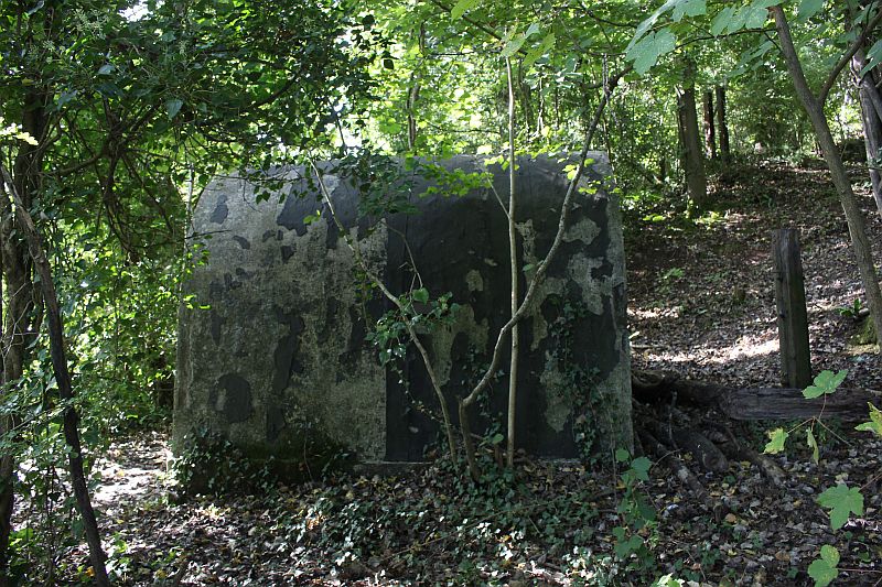
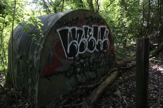
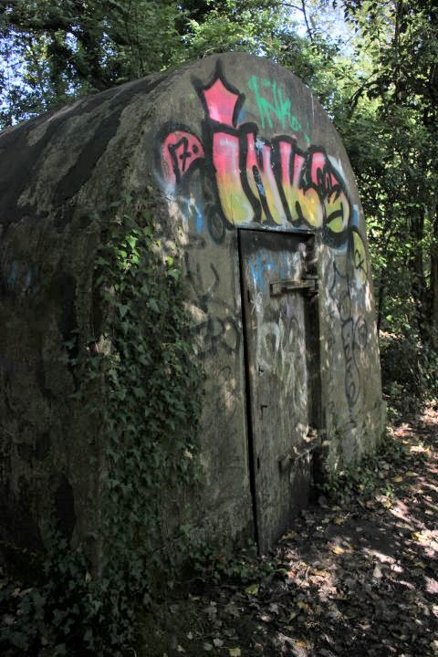
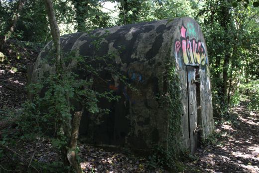
AMMUNITION STORE
With two Pill Boxes built during the war there had to be safe storage for the ammunition and I am sure that this is what things very strongly built box was built for.
It stands well back from the Pill Box tha was close to the signal box. There were ntwo Pill Boxes. This one and another slightly northwards built by the side of the
railway by the Down sidings coming in from Wellow.


====================================
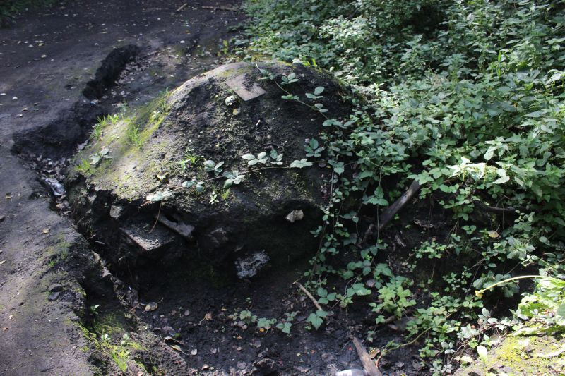
An interesting heap that is full of pieces of iron and stones of various types. Left by the Sites of Special Scientific Interest
survey.
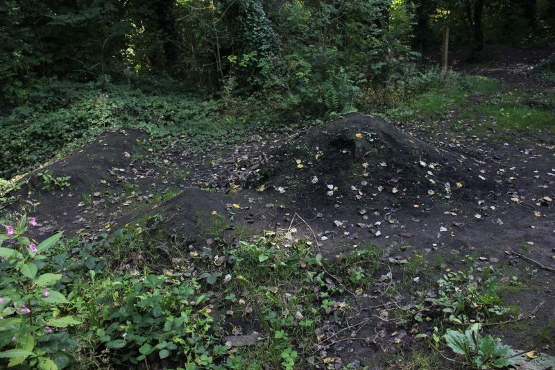
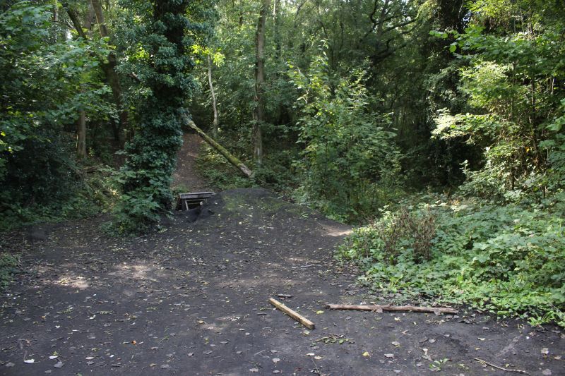
Where the south facing spur ran past to the right. Ahead a path climbs up and towards the slag heap site.
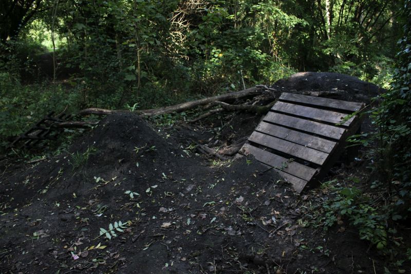
More moved ground by the SSSI. The smell of coal dust is quite strong.
========================================
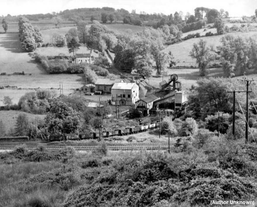
Another excellent photo over looking the Colliery from Braysdown Hill. Taken after the S&D closure. Near the end for the mine. The
Pump House and the signal box has gone as has the west side colliery spur and nature is already taken that over. . All points would
have been operated manually by a shunter or the train guard. You can see how the road ran through the middle of the colliery. The
pump house is where the present day house stands. You can see the tramway running off to Foxcote Colliery from the pump site to
the far left of the photo. You just make out the Pill Box between the track bed and the set of wagons in the center of the photo.
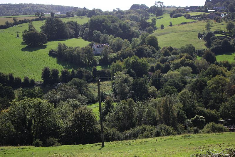
The closest I got to the above photo during my 17th September 2020 visit. The house which stands at the top of the road in
the above photo is a reference point. Likewise, off to the right of center you can just make out the top of the out buildings
and the present day house on the Pump House site. Other than that you can't see anything of the Writhlington colliery site
from here. However, you just make out the railway under bridge on the far right near the bottom of the picture. I needed to
be a little more to the right to match the views up but even then the view is too over grown to see anything.You would see
even less if it was a direct match to the old photo.The dark line of trees from the center to the far right is that of the
Foxcote Colliery tramway.
==============================================
Braysdown & Writhlington Coal Mine 4mm model layout video
===============================================
To: Braysdown Colliery (Radstock)
Other railway walks:
The Dundee & Newtyle Rlwy Walks Opened in 1831 the route had three incline planes. The first was from the terminal station on Ward Street, up the Dundee Law, where there was
also a tunnel. The second was the Balbeuchley incline at Rosemill and the third at Hatton that ran down to Newtyle station. It was also the very first passenger train service in Scotland.
Worked by Horse over the levels until the first steam engine was purchased in 1833. Came under the Caledonian Railway with it's terminal moved to Dundee West station. Passengers
service ended in 1952 and the line totally closed in the mid 60's. The inclines were by-passed in the 1860's.
The Cromford & High Peak Incline railway in Derbyshire has been luckier in having much of it's buildings, including an Engine House preserved. This is what could have happened with
the D&N, indeed, should have happened with at least one of the D&N inclines. However, the C&H gives an excellent comparison of what the D&N would have looked like, albeit the
inclines were only single track.
Boddam To Ellon Branch (Walks) By Bill Reid. Ex GNSR branch line.
Dyce To Fraserburgh and Peterhead Walks. Ex GNSR
Bath To Wellow Rlwy Walks Ex Somerset & Dorset Rlwy.
Updated to include Midsomer Norton and Chilcompton.
Chippenham To Caln Walk.
The Test Valley Railway Walk. (New Mills To Hayfield).
Hosted by www.theatreorgans.com
BACK TO HOME PAGE
This page brought to you by:
VintageHammond.Com - We Buy-Sell-Trade Vintage Hammond Organs and Roll or Kari Organ/Vending Machine Moving Dollies Order Roll or Kari Dollies Here


.jpg)
.jpg)


